Trails near Quillan
21 hikes starting within 15 km, nearest first.
Nearest first
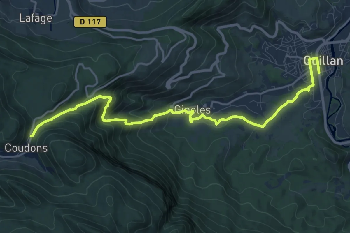
Medium · Trail
SC 07N : Quillan - Puivert
13.6 km · ↑ 661 m · 4 h 39 min · under 1 km away
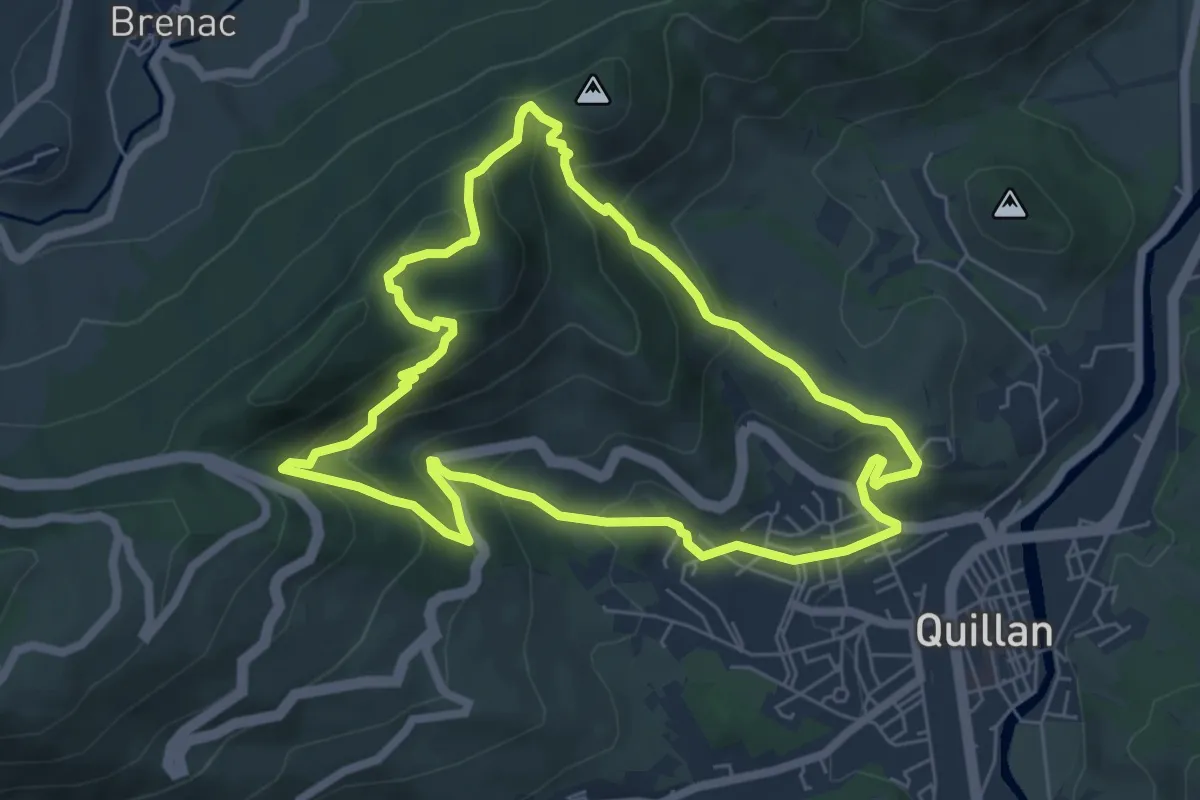
Medium · Trail
Sentier Col de Brenac-Nez de l’Homme-Roc de Capio
6.6 km · ↑ 419 m · 2 h 33 min · 2 km away
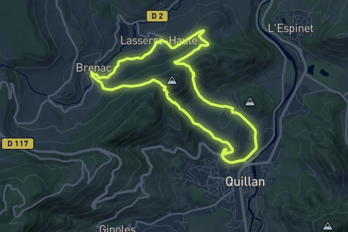
Medium · Trail
Sentier Brenac-Lasserre-Gourgaoura
9.5 km · ↑ 394 m · 3 h 13 min · 2 km away
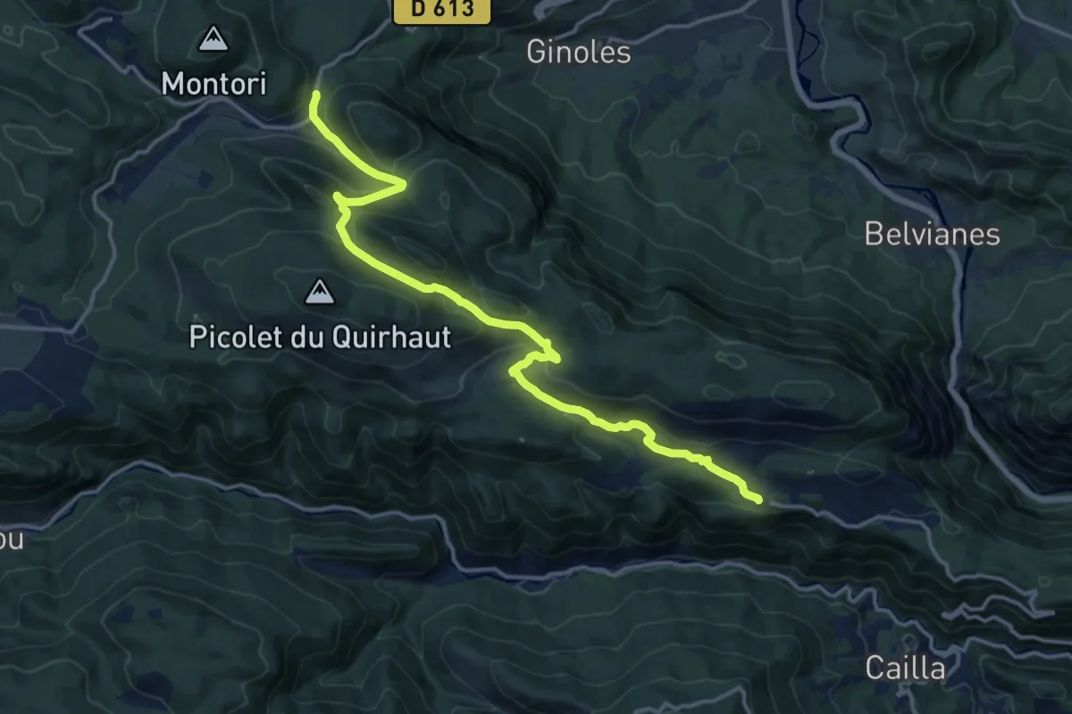
Medium · Trail
SC 07S : Quirbajou - Puivert
16.9 km · ↑ 698 m · 5 h 30 min · 5 km away
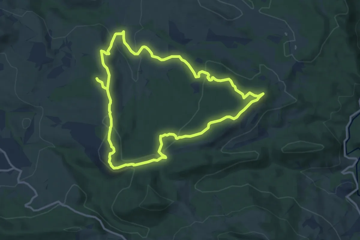
Demanding · Trail
Le Sentier du Ritou
18.8 km · ↑ 544 m · 5 h 37 min · 8 km away
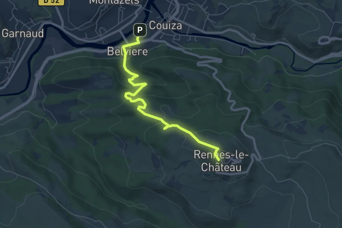
Easy · Trail
Sentier Couiza – Rennes-le-Château
6.7 km · ↑ 275 m · 2 h 11 min · 9 km away
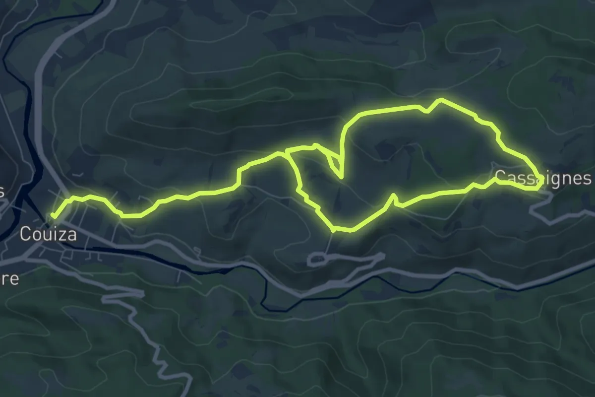
Medium · Trail
Le Sentier des Capitelles
15.4 km · ↑ 406 m · 4 h 30 min · 11 km away
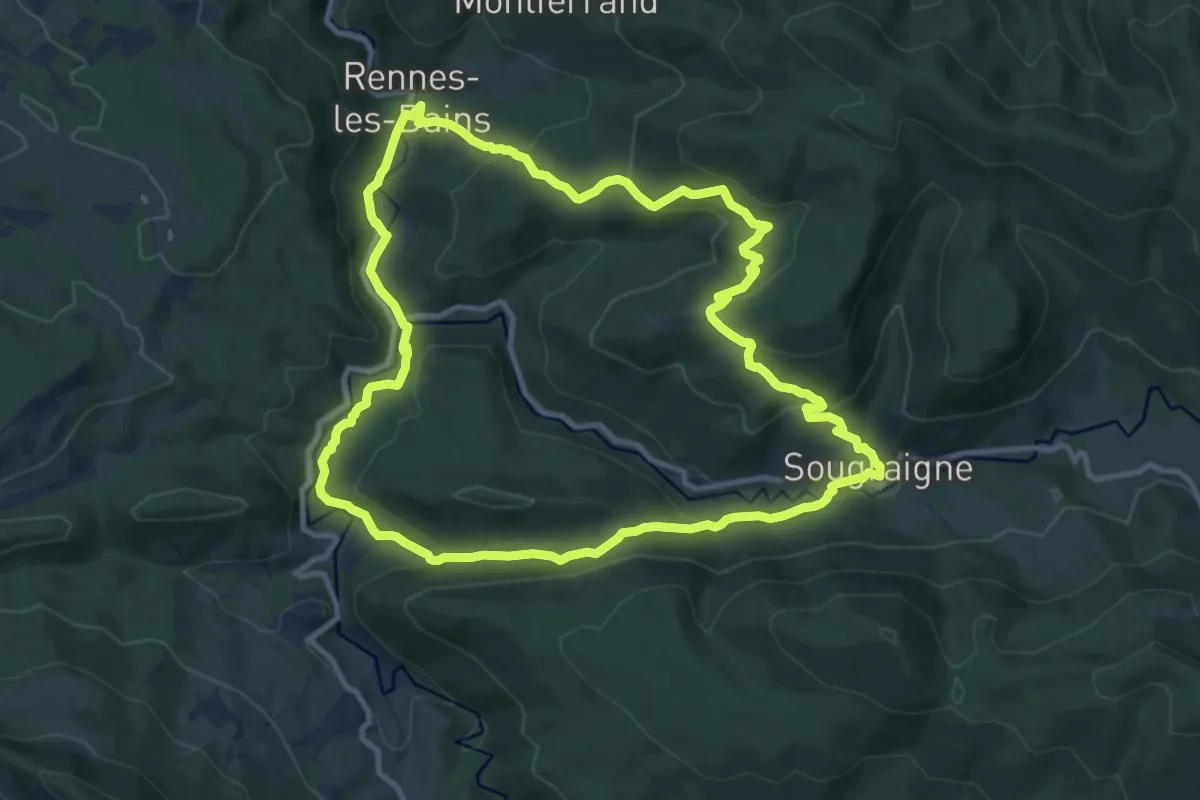
Medium · Trail
Sentier Botanique
12.0 km · ↑ 450 m · 3 h 58 min · 11 km away
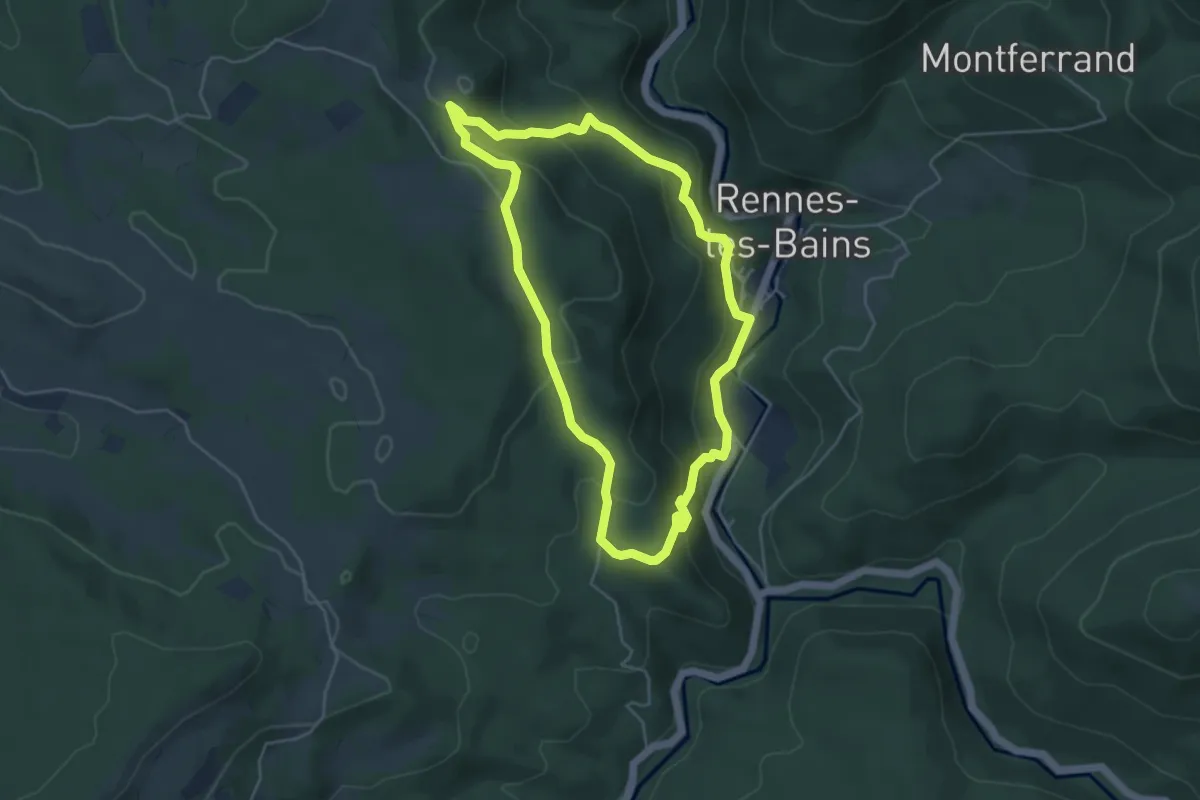
Medium · Trail
circuit du "fauteuil du diable"
4.8 km · ↑ 238 m · 1 h 42 min · 11 km away
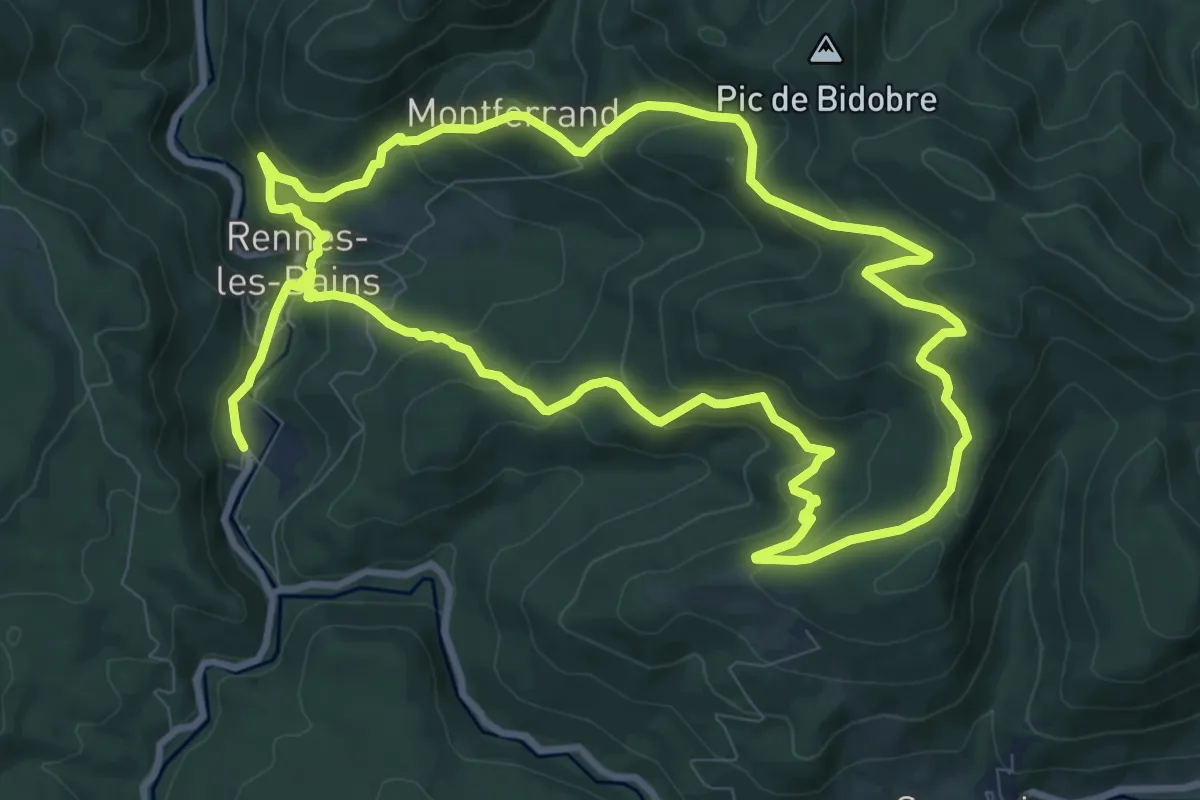
Demanding · Trail
Le parcours géologique
20.9 km · ↑ 933 m · 6 h 57 min · 12 km away
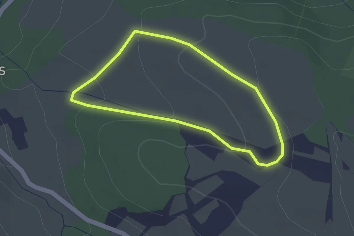
Easy · Trail
Le Clabary
2.2 km · ↑ 69 m · 41 min · 12 km away
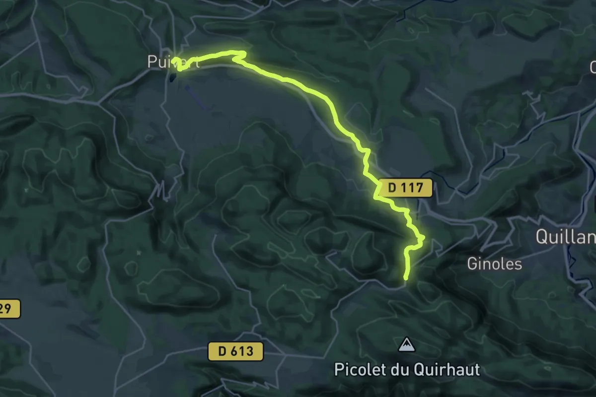
Demanding · Trail
SC 07C : Coudons - Puivert
26.0 km · ↑ 688 m · 7 h 38 min · 12 km away
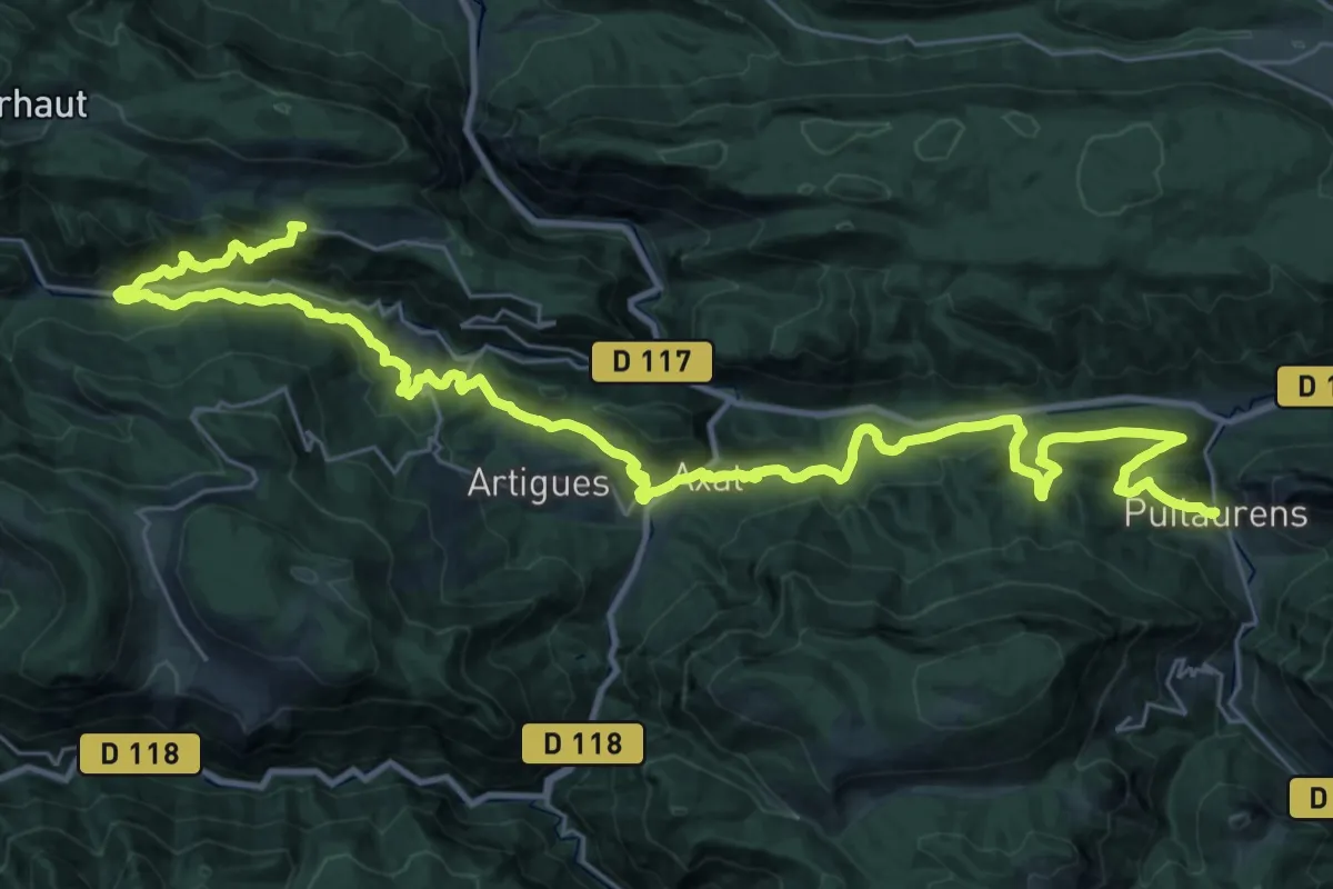
Demanding · Trail
SC 06S : Puilaurens - Quirbajou
22.4 km · ↑ 1156 m · 7 h 55 min · 13 km away
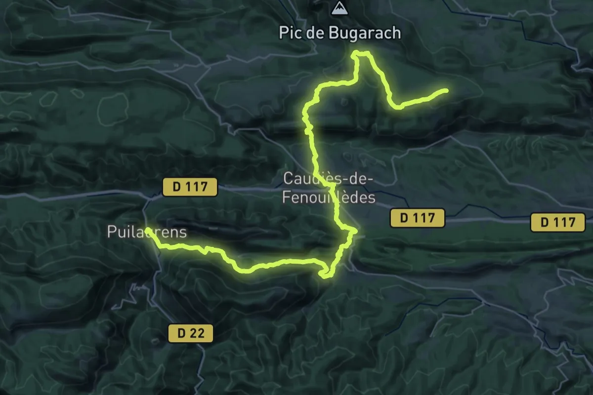
Demanding · Summit
SC 05S : Prugnanes - Puilaurens
44.3 km · ↑ 1645 m · 14 h 1 min · 13 km away
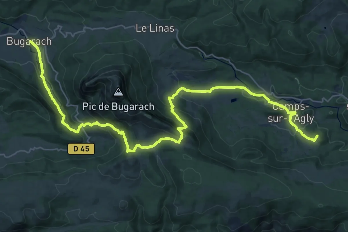
Demanding · Summit
SC 05N : Cubières-sur-Cinoble - Bugarach
26.3 km · ↑ 1194 m · 8 h 48 min · 14 km away
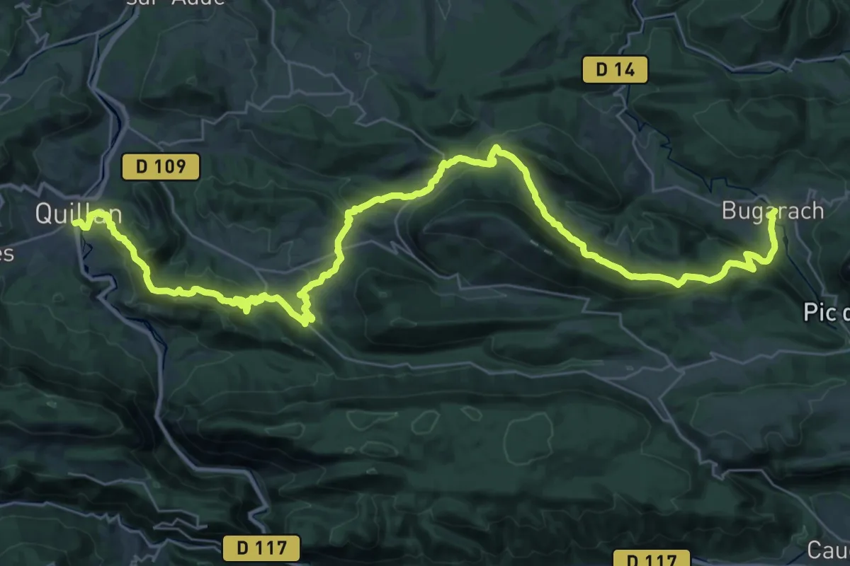
Demanding · Trail
SC 06N : Bugarach - Quillan
23.1 km · ↑ 828 m · 7 h 40 min · 14 km away
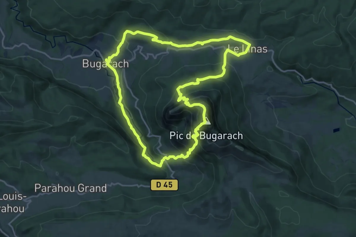
Demanding · Summit
Le Pech de Bugarach
13.4 km · ↑ 824 m · 5 h 9 min · 14 km away
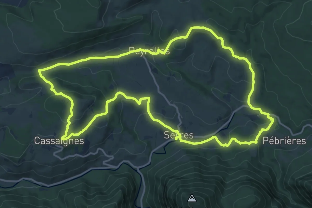
Medium · Trail
Les Terres Rouges
12.8 km · ↑ 394 m · 4 h 3 min · 14 km away
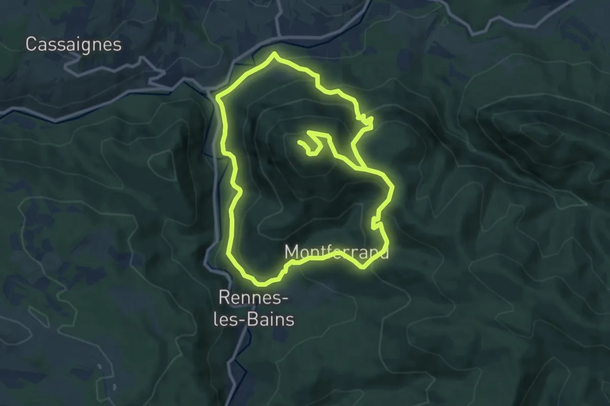
Demanding · Summit
Le Tour du Cardou
18.3 km · ↑ 1026 m · 6 h 32 min · 14 km away
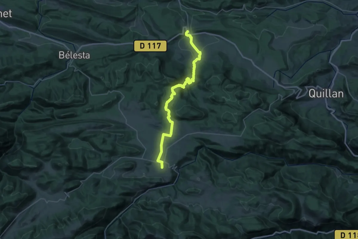
Medium · Trail
SC 08 : Puivert - Espezel
16.8 km · ↑ 162 m · 4 h 45 min · 15 km away
Medium · Trail
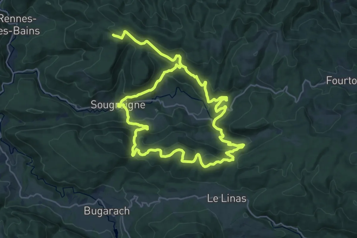
Sources de la Salz
17.1 km · ↑ 677 m · 5 h 48 min · 15 km away