Trails near Rodez
46 hikes starting within 15 km, nearest first.
Nearest first
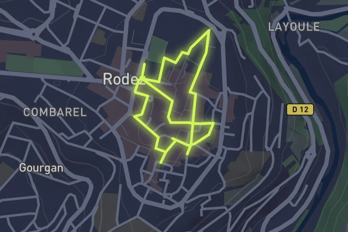
Easy · Trail
Circuit 1 Centre-ville de Rodez
4.5 km · ↑ 33 m · 1 h 8 min · under 1 km away
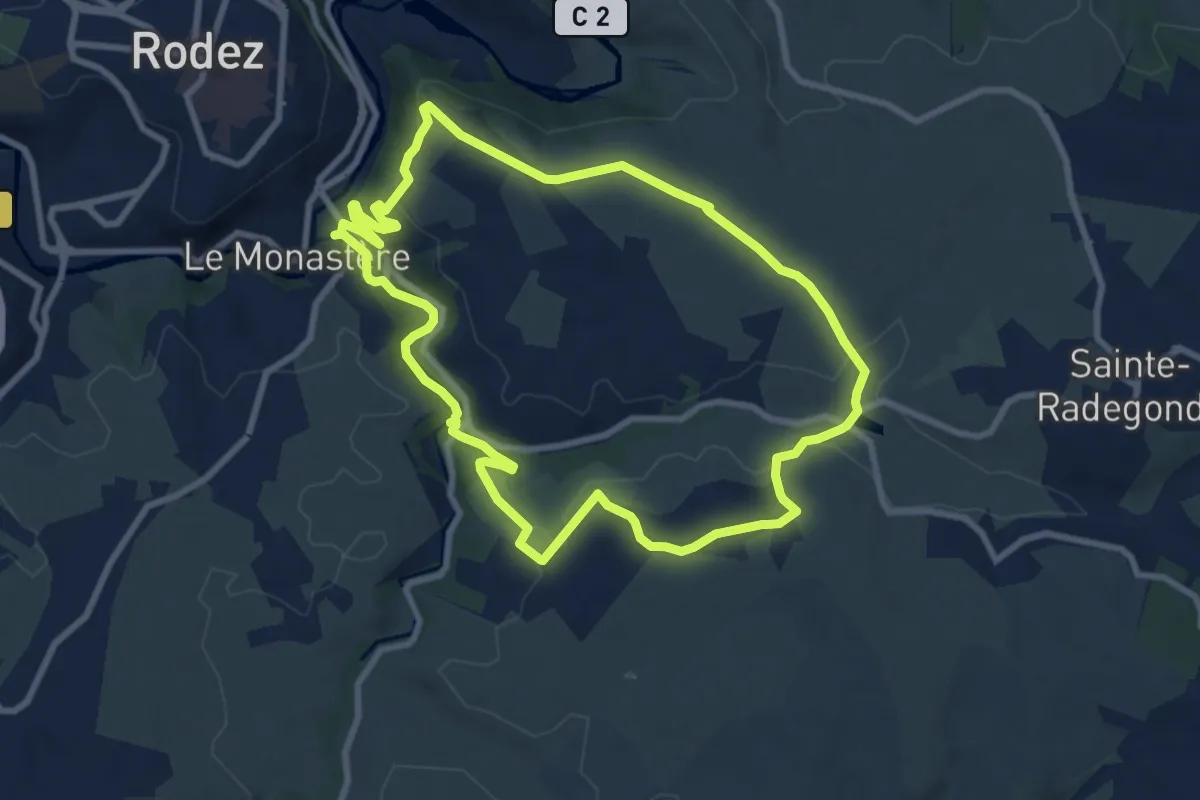
Medium · Trail
Circuit 12 : Combelles
8.9 km · ↑ 180 m · 2 h 37 min · 1 km away
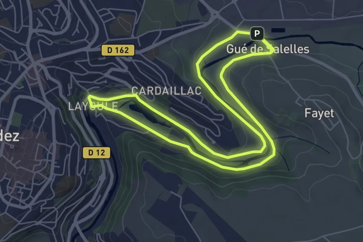
Medium · Trail
Circuit 2 Layoule
11.5 km · ↑ 101 m · 2 h 56 min · 2 km away
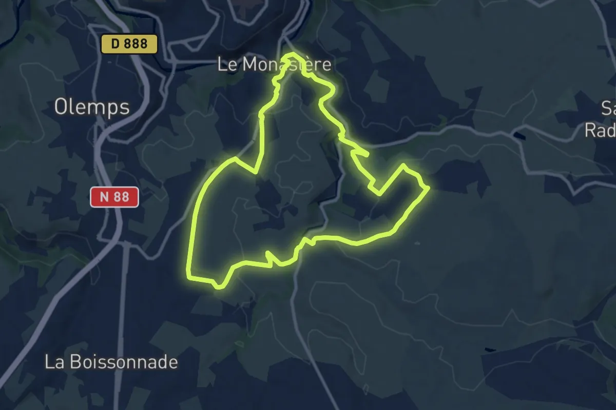
Medium · Trail
Circuit 11 Le Monsastère
9.9 km · ↑ 170 m · 2 h 50 min · 2 km away
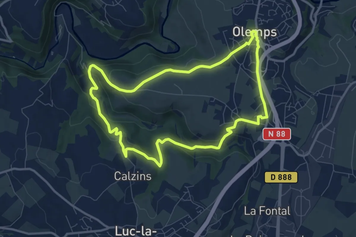
Medium · Trail
Circuit 8 La Briène
8.3 km · ↑ 215 m · 2 h 32 min · 3 km away
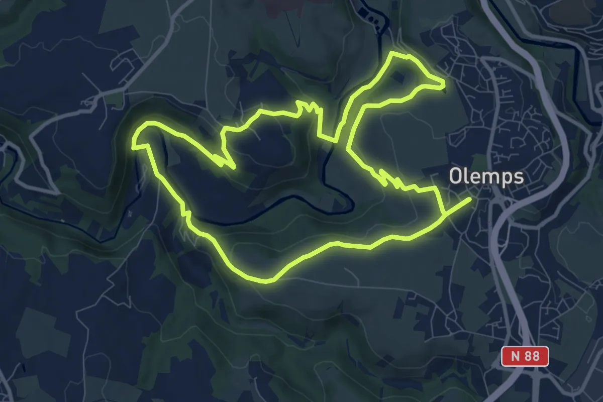
Medium · Trail
Circuit 6 Toizac
9.8 km · ↑ 282 m · 3 h 3 min · 3 km away
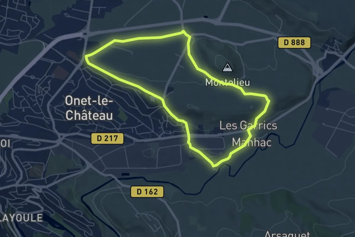
Easy · Trail
Circuit 16 Moulin de cantarane
6.3 km · ↑ 98 m · 1 h 47 min · 3 km away
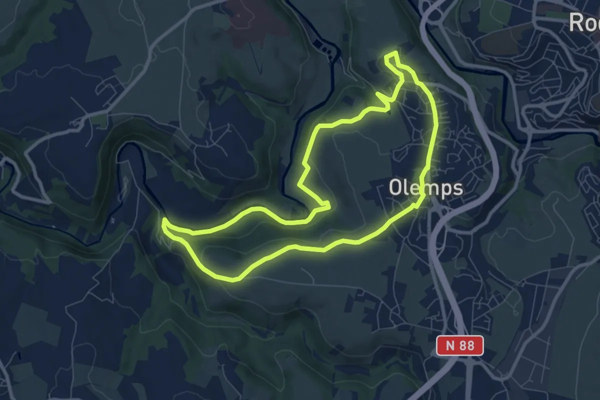
Easy · Trail
Circuit 7 Le Bois de Linars
8.0 km · ↑ 160 m · 2 h 21 min · 3 km away
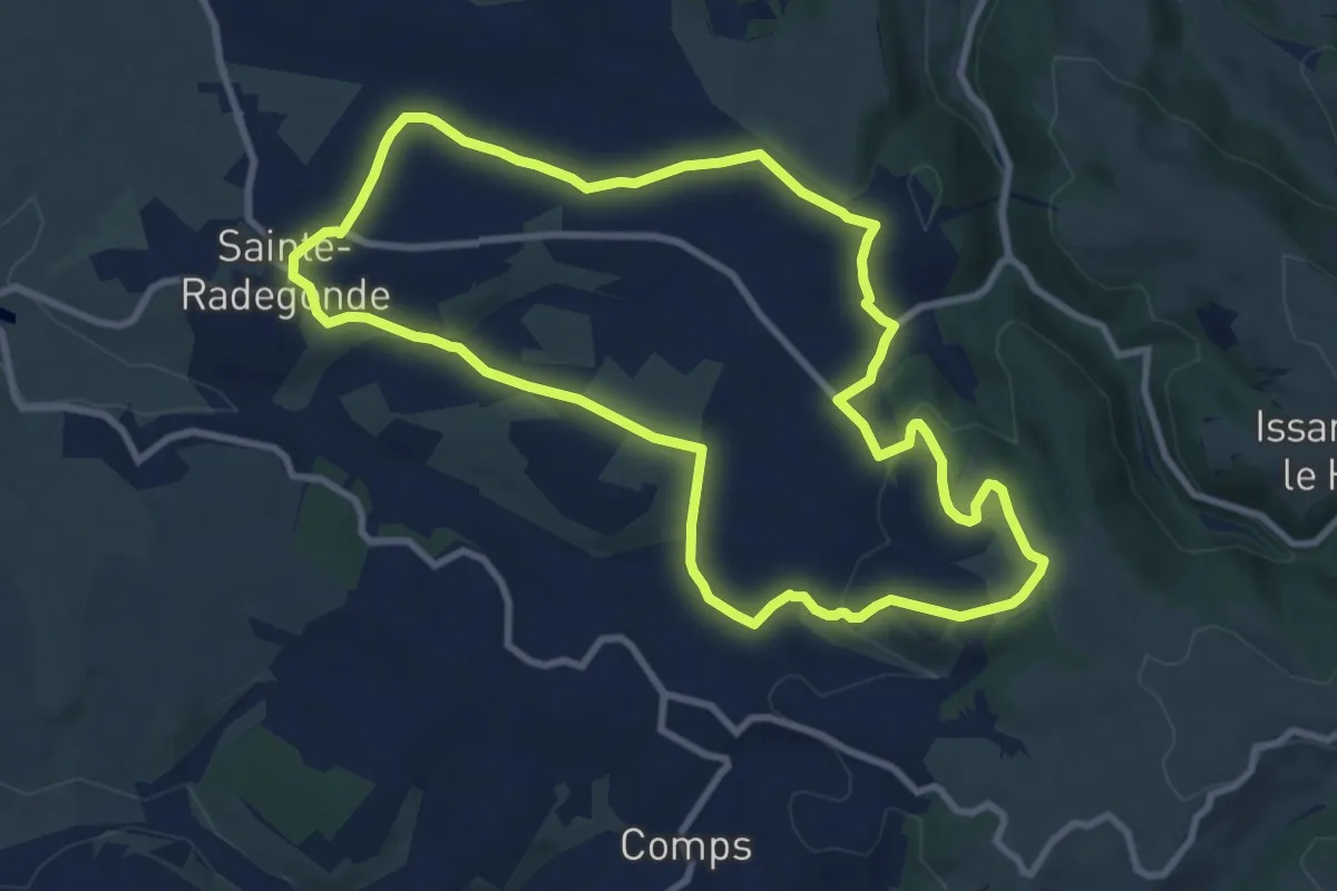
Medium · Trail
Sainte-Radegonde
9.9 km · ↑ 240 m · 2 h 59 min · 5 km away
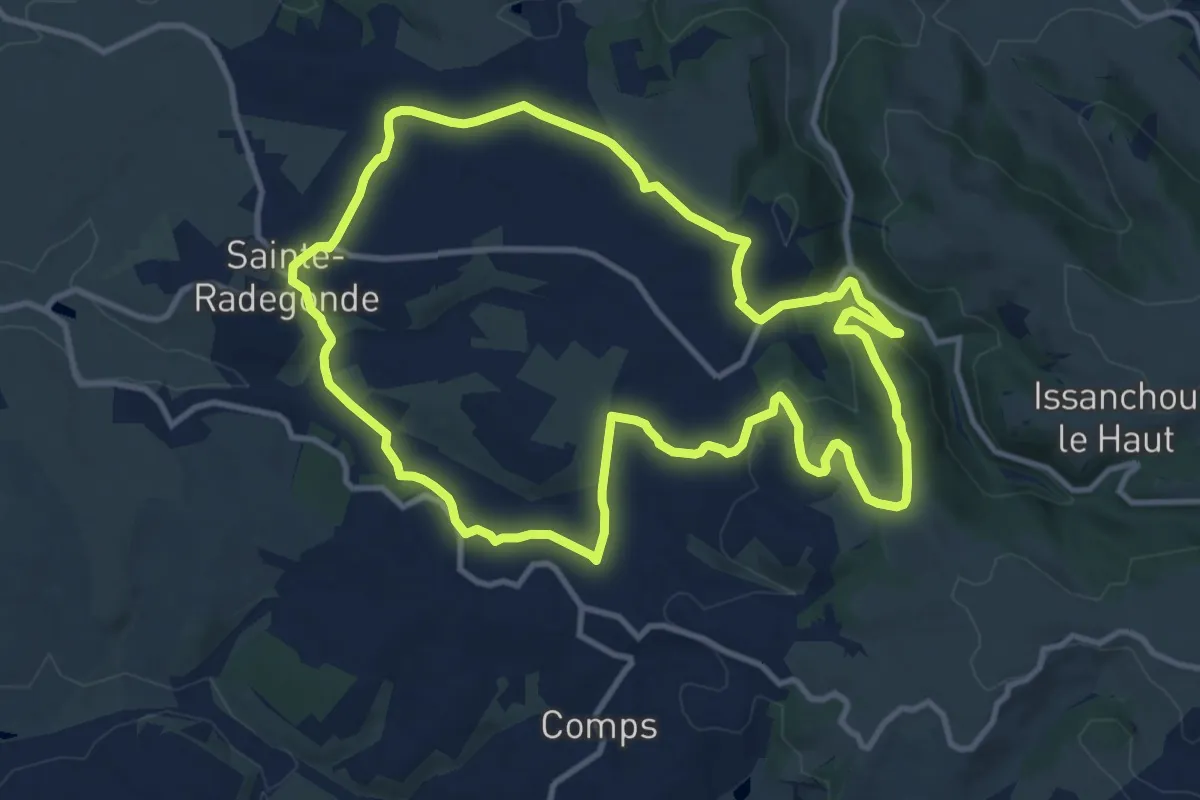
Medium · Trail
Circuit 14 Sainte-Radegonde
12.2 km · ↑ 294 m · 3 h 41 min · 5 km away
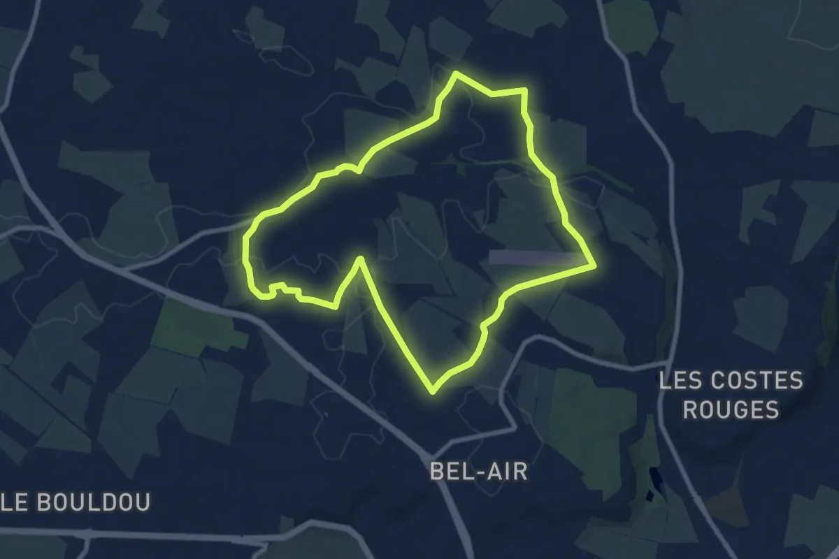
Easy · Trail
Circuit 21 Onet-Village
7.7 km · ↑ 74 m · 2 h 5 min · 5 km away
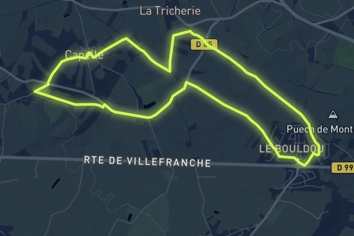
Medium · Trail
Circuit 22 Le château d'Is
9.4 km · ↑ 84 m · 2 h 32 min · 5 km away
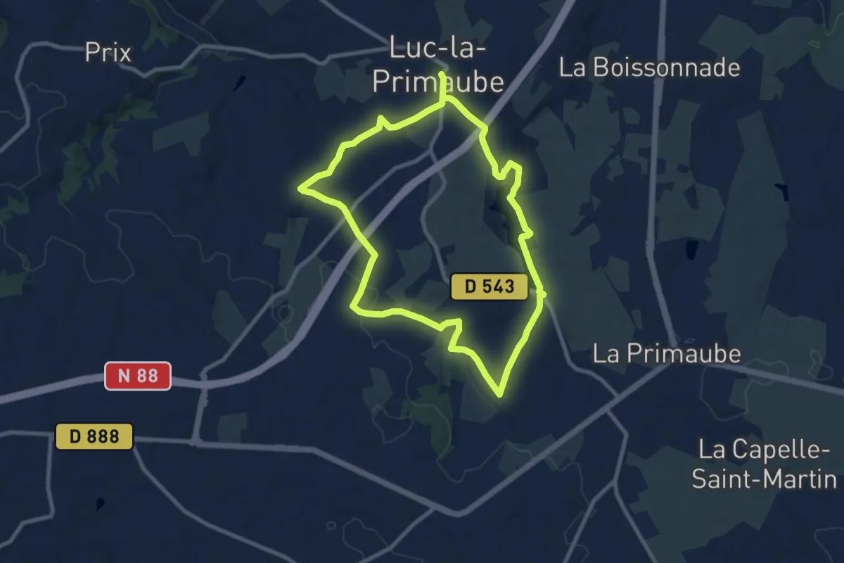
Medium · Trail
Circuit 9 Planèzes
8.4 km · ↑ 163 m · 2 h 27 min · 5 km away
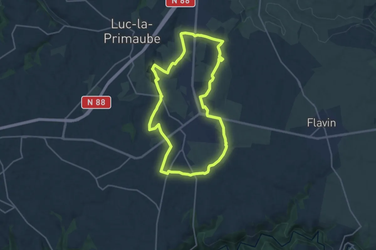
Medium · Trail
Circuit 10 La Capelle Saint-Martin
13.6 km · ↑ 190 m · 3 h 49 min · 6 km away
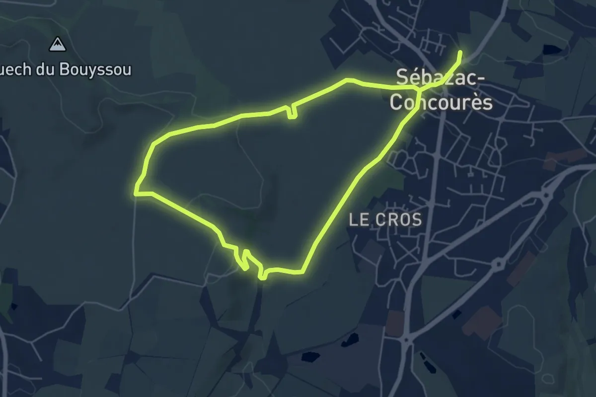
Medium · Trail
Lo Cami de Flars
10.5 km · ↑ 152 m · 2 h 49 min · 6 km away
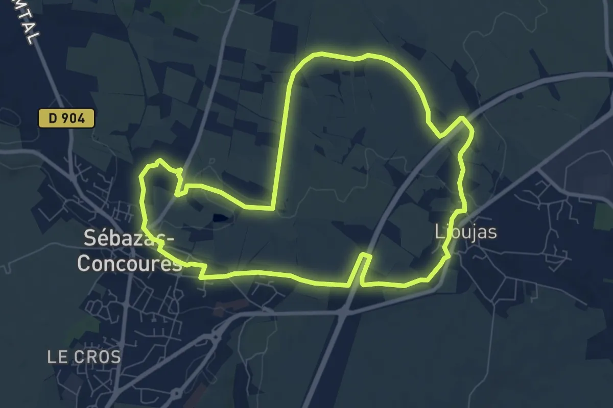
Medium · Trail
Circuit 18 Nord de Sébazac
8.6 km · ↑ 64 m · 2 h 17 min · 6 km away
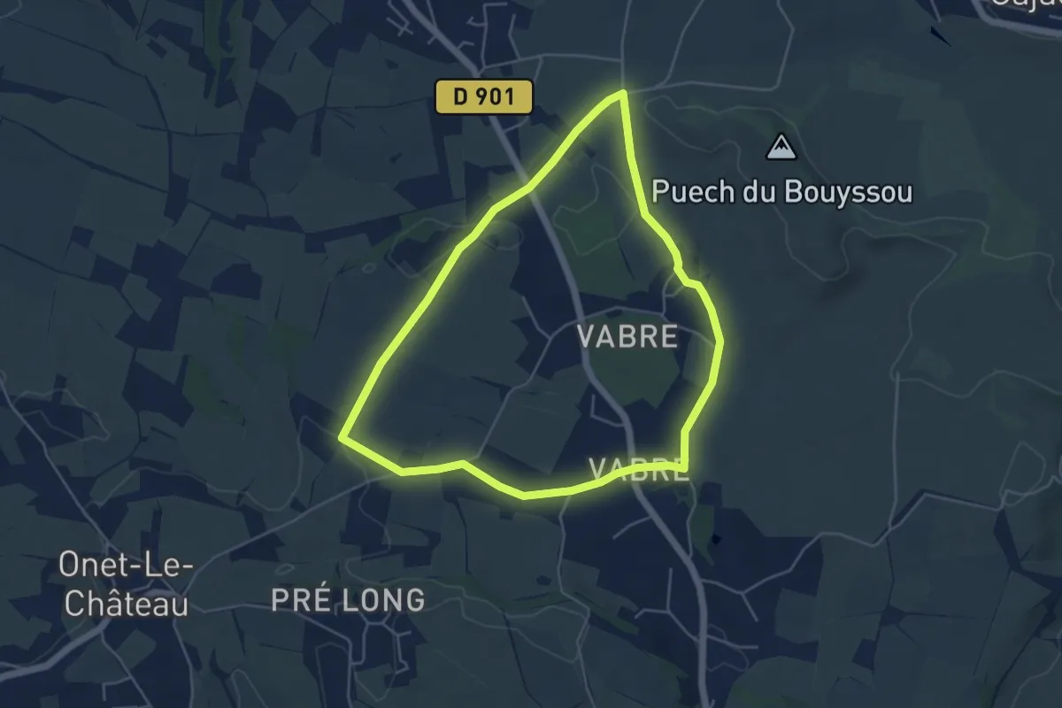
Easy · Trail
Circuit 20 Vabres
4.9 km · ↑ 46 m · 1 h 20 min · 7 km away
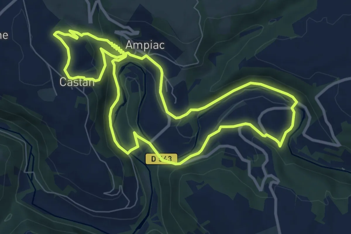
Easy · Trail
Circuit 5 Ampiac
7.6 km · ↑ 262 m · 2 h 28 min · 7 km away
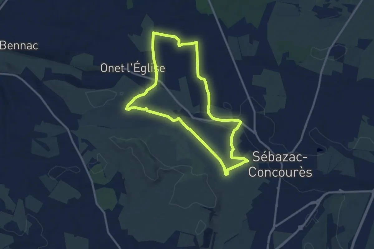
Easy · Trail
Circuit 19 Onet-l'Eglise
7.8 km · ↑ 57 m · 2 h 5 min · 7 km away
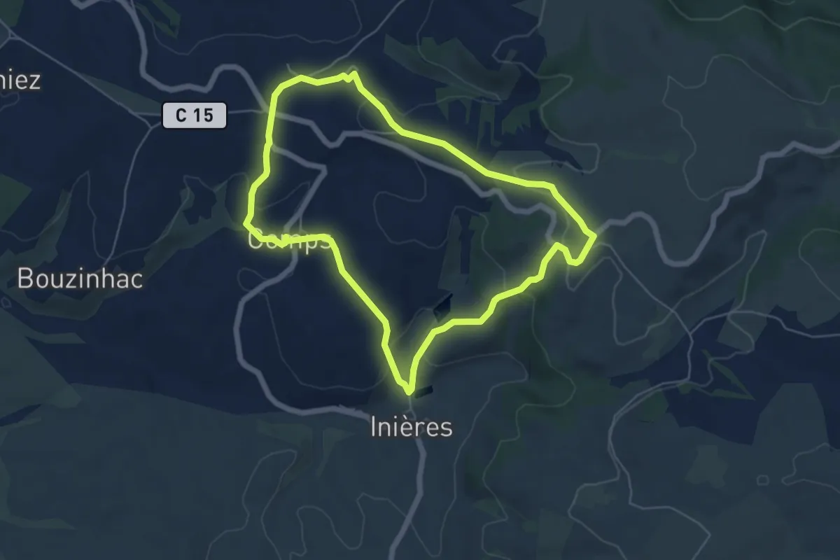
Easy · Trail
Circuit 15 Inières
5.6 km · ↑ 180 m · 1 h 47 min · 7 km away
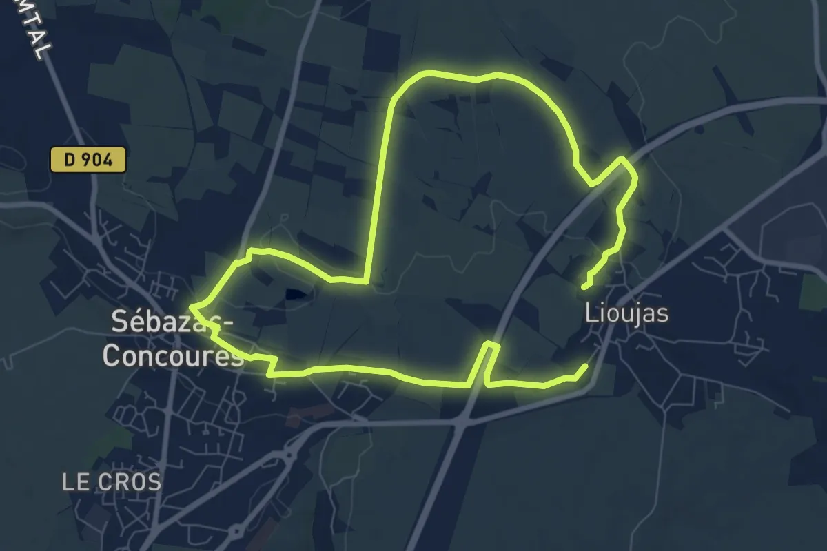
Medium · Trail
Lo camin polida vista
15.1 km · ↑ 111 m · 3 h 49 min · 7 km away
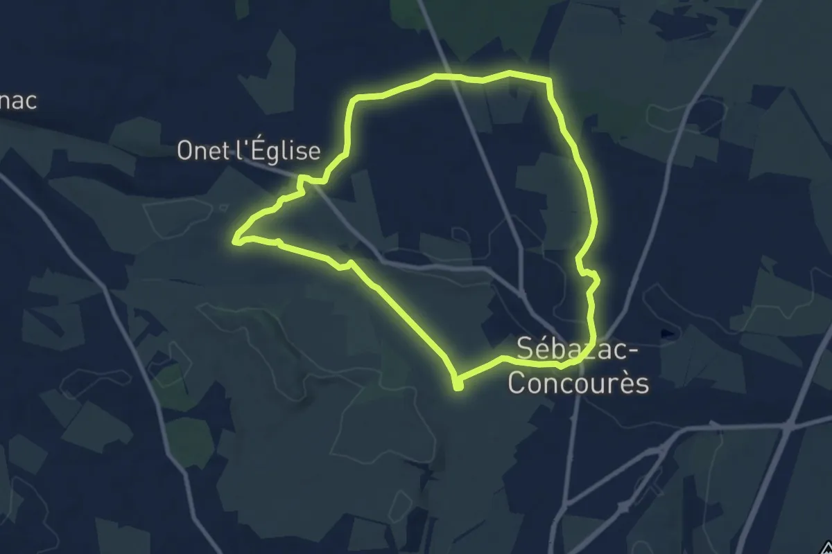
Medium · Trail
Lo Cami de la Font
8.7 km · ↑ 66 m · 2 h 19 min · 7 km away
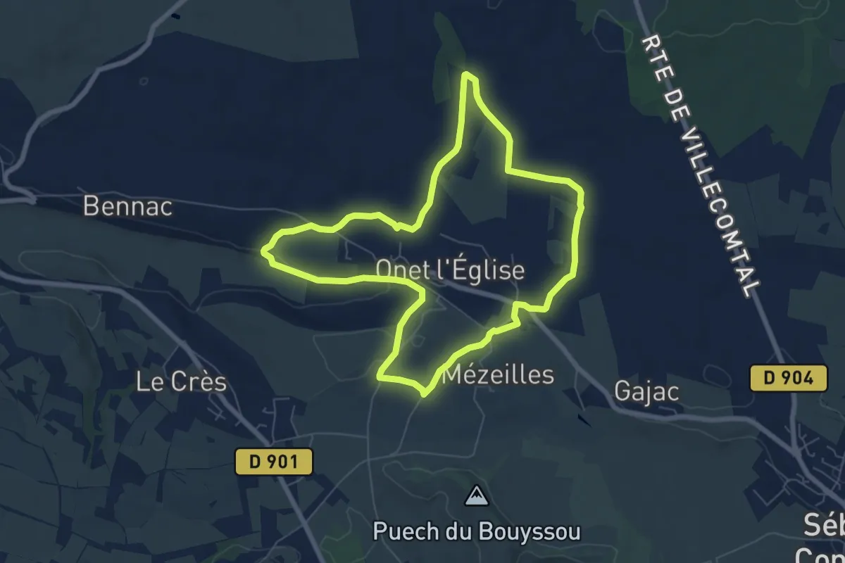
Medium · Trail
Lo camin de Mezelhas
6.8 km · ↑ 73 m · 1 h 52 min · 7 km away
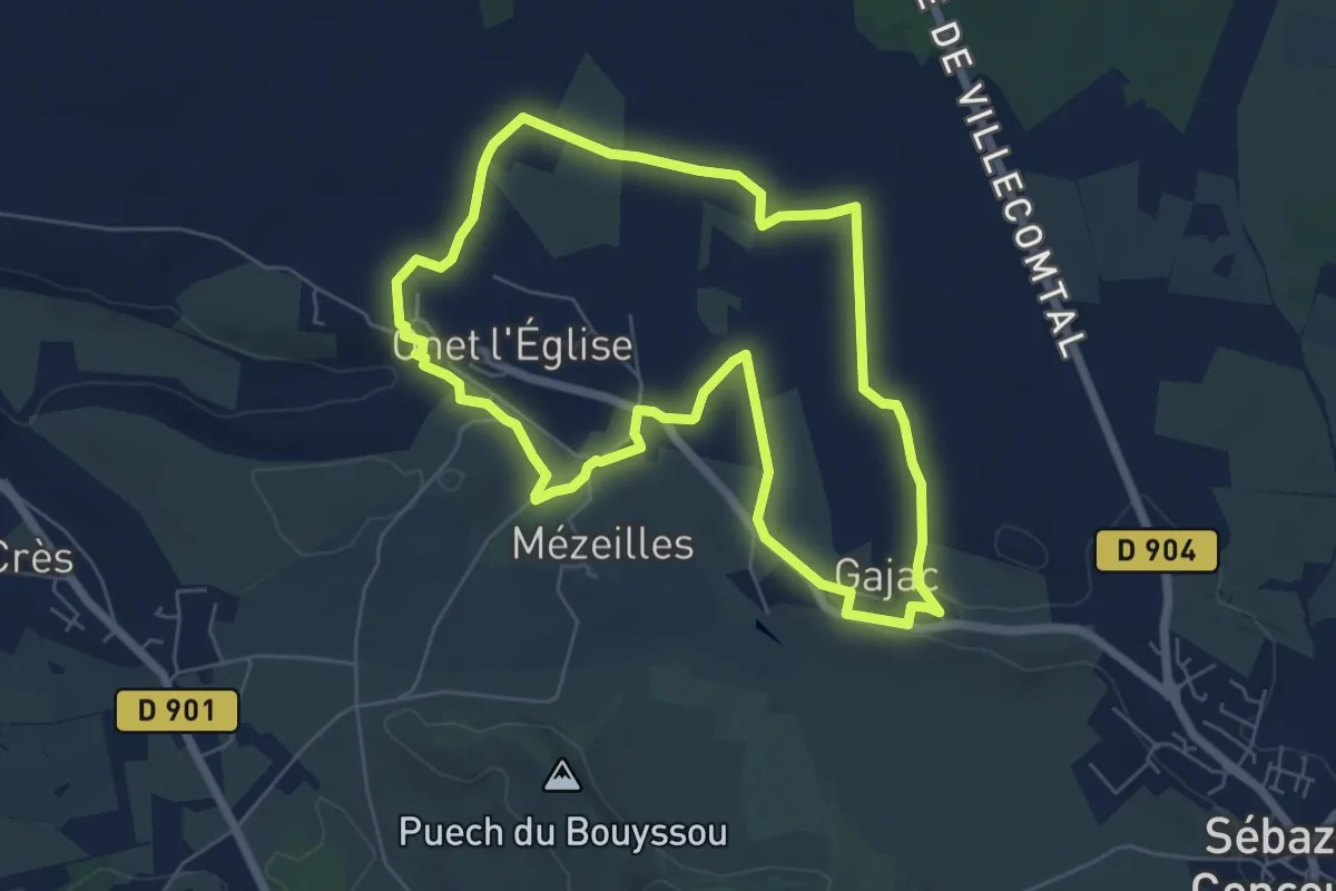
Easy · Trail
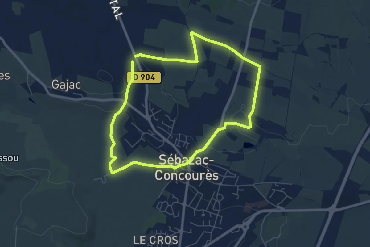
Virada De Rescondudon (autour du Rescondudou)
6.5 km · ↑ 55 m · 1 h 45 min · 7 km away
Easy · Trail
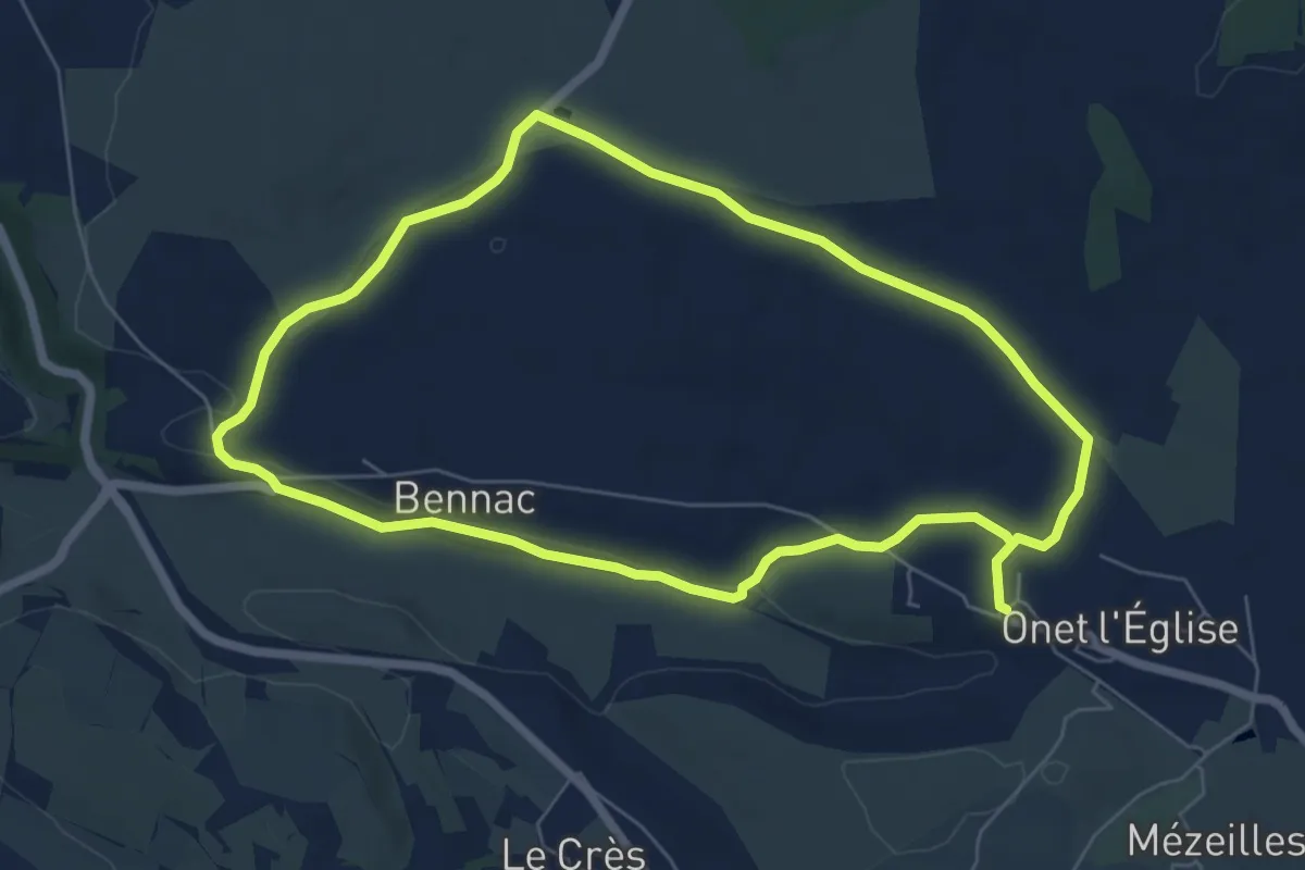
Lo Camin de las Combas
5.6 km · ↑ 50 m · 1 h 30 min · 7 km away
Medium · Trail
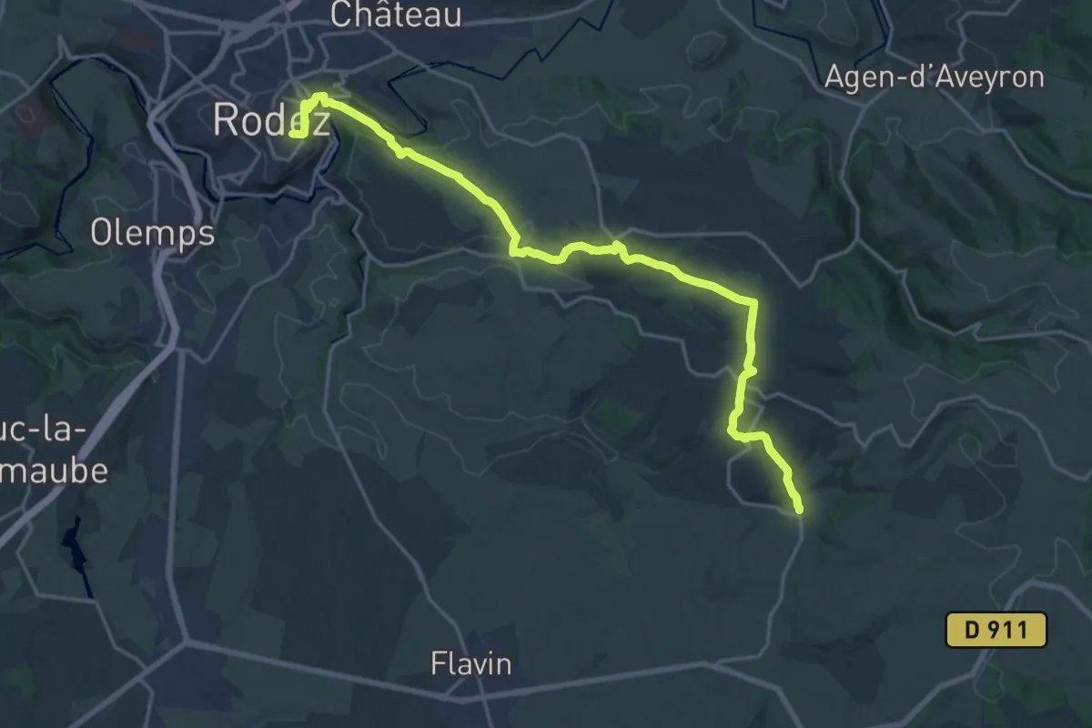
Lo Camin de Pueg Rossel
13.0 km · ↑ 148 m · 3 h 24 min · 8 km away
Demanding · Trail
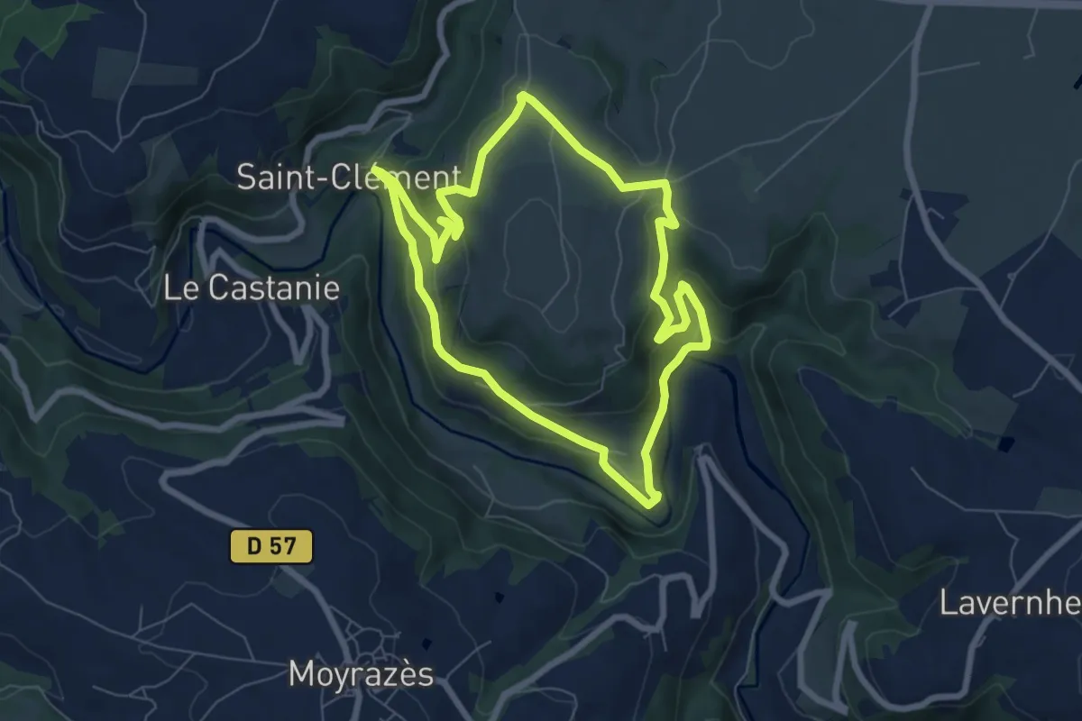
Inières - Rodez
22.1 km · ↑ 596 m · 6 h 30 min · 8 km away
Medium · Trail
Circuit 4 Saint-Clément
6.9 km · ↑ 293 m · 2 h 22 min · 9 km away
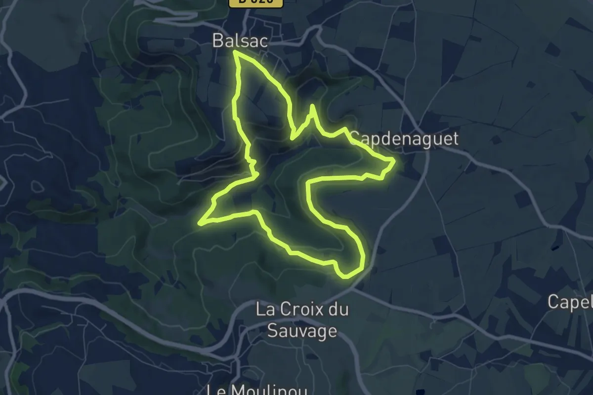
Medium · Trail
Le Cirque du Sauvage
8.2 km · ↑ 321 m · 2 h 44 min · 10 km away
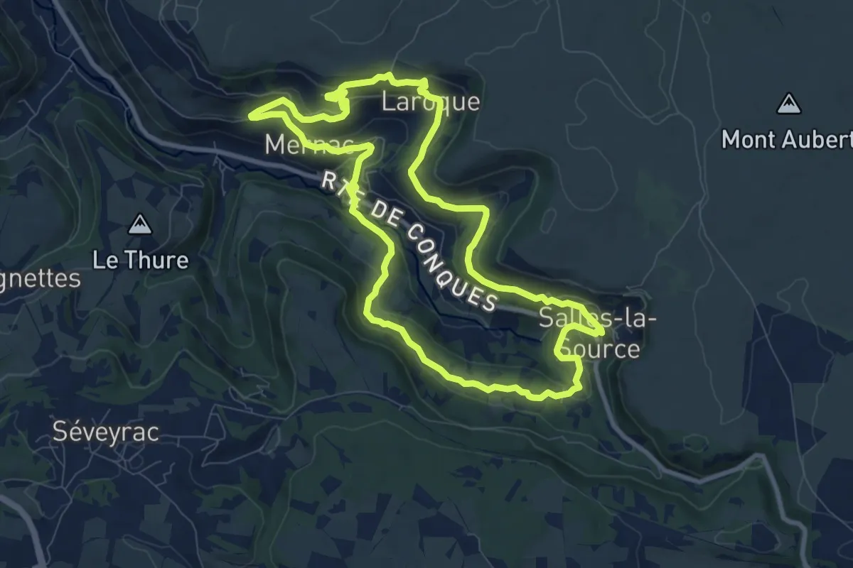
Medium · Trail
Les corniches du Créneau
9.0 km · ↑ 286 m · 2 h 52 min · 11 km away
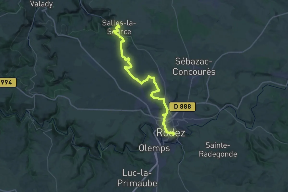
Demanding · Trail
Rodez - Salles-la-Source
18.6 km · ↑ 450 m · 5 h 32 min · 11 km away
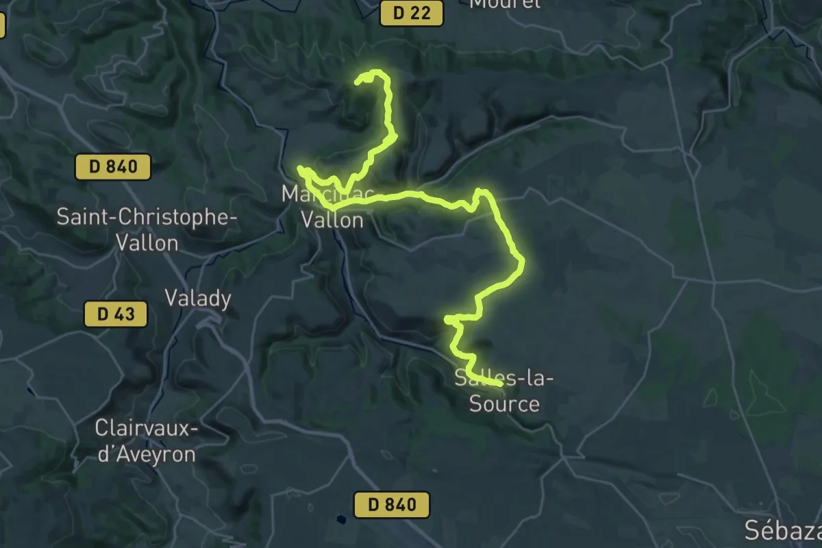
Demanding · Summit
Salles-la-Source - Combret
37.4 km · ↑ 956 m · 10 h 54 min · 11 km away
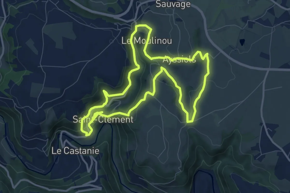
Medium · Trail
La maresque du Pas / Saint-Clément
17.8 km · ↑ 624 m · 5 h 33 min · 11 km away
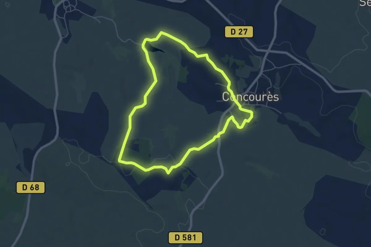
Easy · Trail
Lo camin de las dralhas
5.6 km · ↑ 71 m · 1 h 33 min · 12 km away
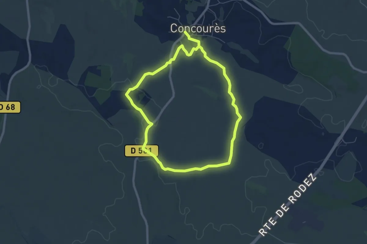
Medium · Trail
Lo camin de las Cazelas
11.7 km · ↑ 126 m · 3 h 3 min · 12 km away
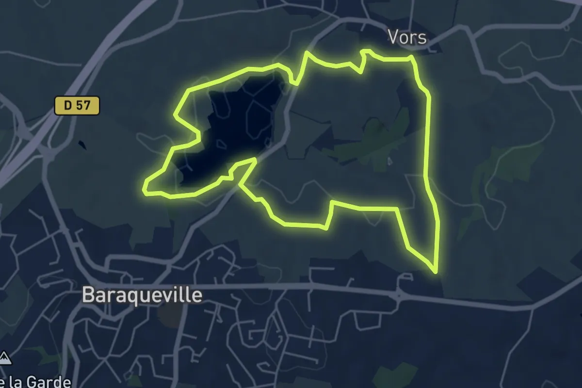
Easy · Trail
Circuit 3 - La fontainte romaine
5.4 km · ↑ 89 m · 1 h 33 min · 12 km away
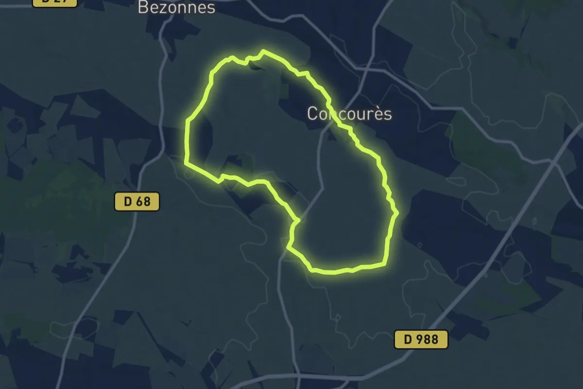
Medium · Trail
Circuit 17 Concourès
8.9 km · ↑ 88 m · 2 h 25 min · 12 km away
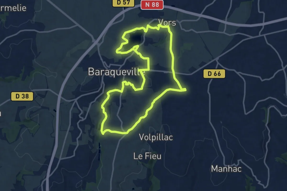
Medium · Trail
Circuit 4 - Au fil de l'eau
11.6 km · ↑ 190 m · 3 h 19 min · 13 km away
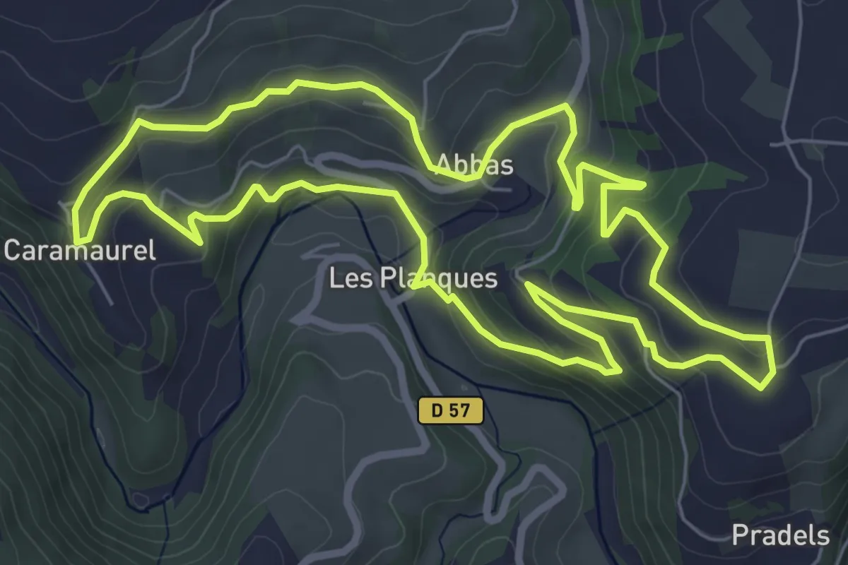
Easy · Trail
Circuit 3 Abbas
7.2 km · ↑ 289 m · 2 h 25 min · 13 km away
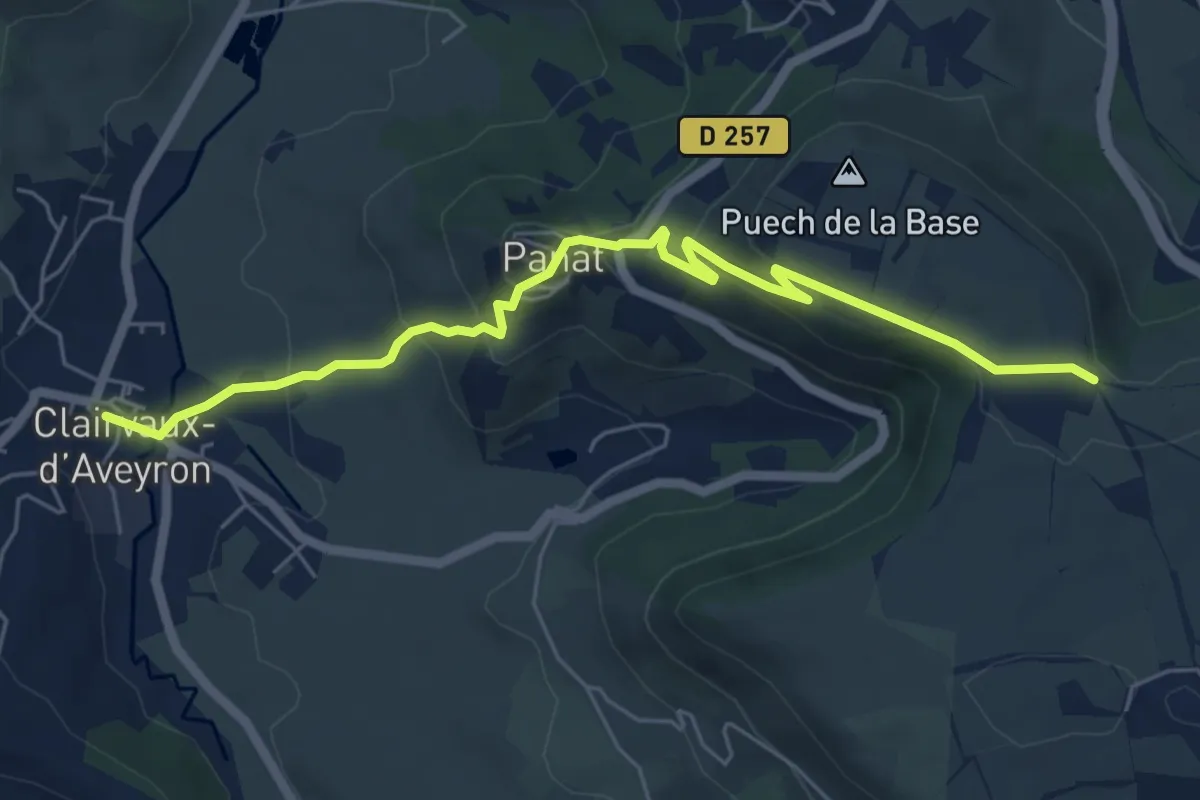
Easy · Trail
Le Vallon de Clairvaux - Variante Point 2
6.7 km · ↑ 310 m · 2 h 15 min · 13 km away
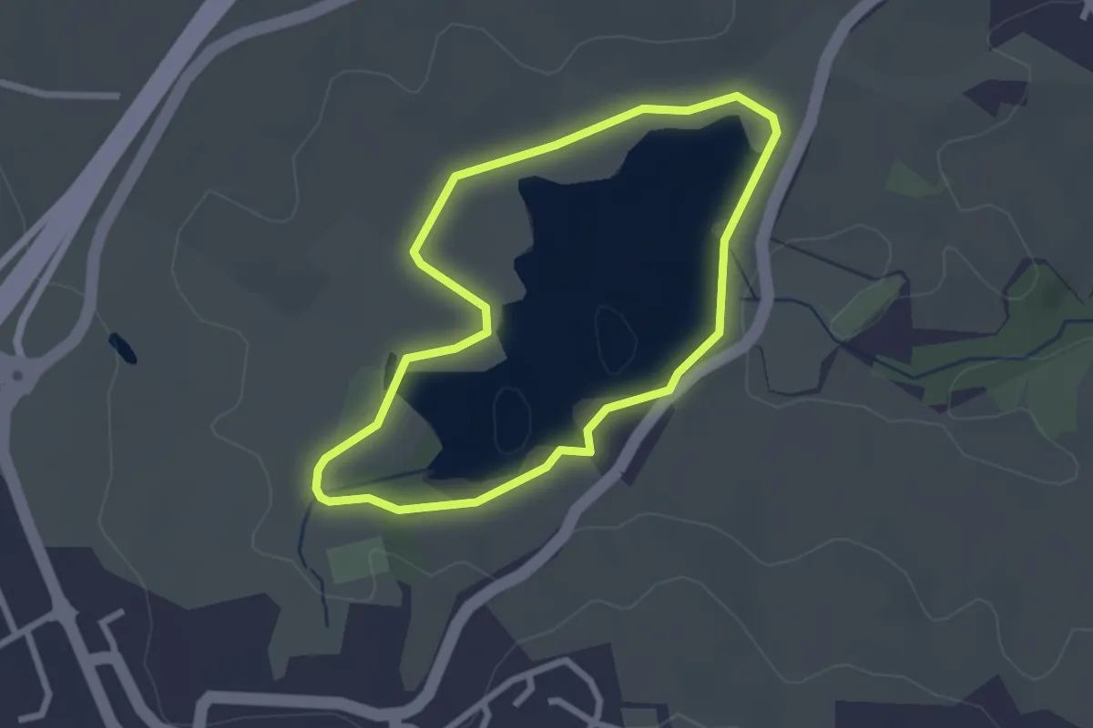
Easy · Trail
Circuit 1 - Les berges du lac du Val de Lenne
2.4 km · ↑ 14 m · 38 min · 14 km away
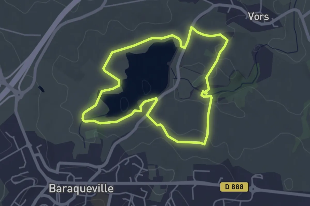
Easy · Trail
Circuit 2 - Petite balade ombragée
4.0 km · ↑ 46 m · 1 h 7 min · 14 km away
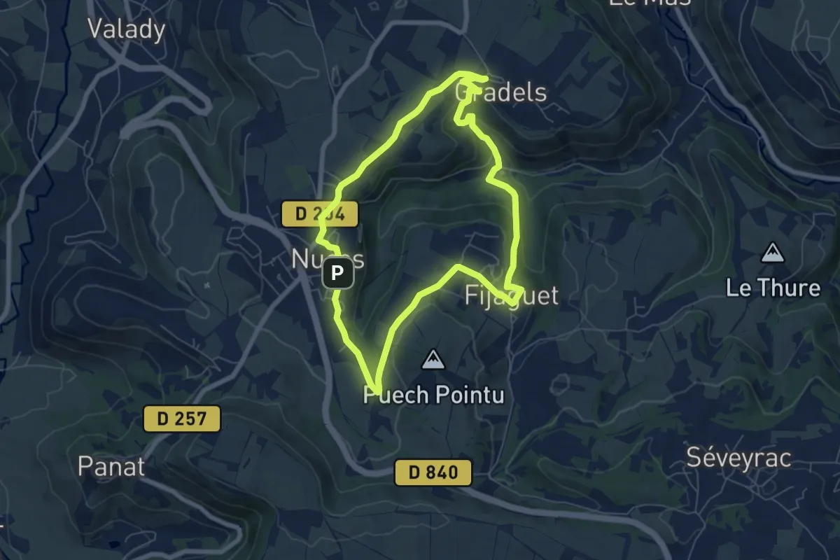
Easy · Trail
Le Sentier des Terrasses
6.4 km · ↑ 147 m · 1 h 55 min · 14 km away
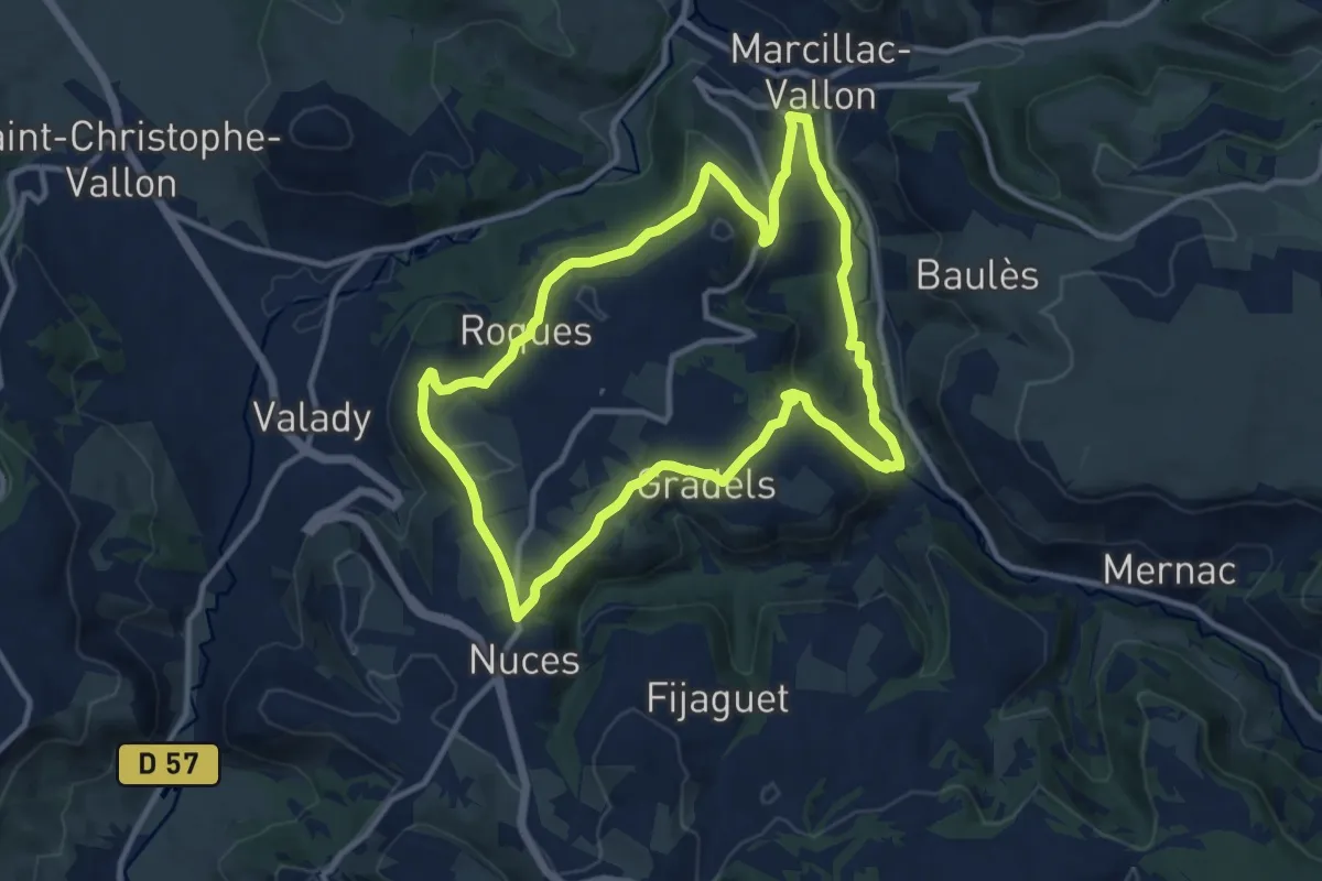
Medium · Trail
Des Vignes aux Moulins
11.3 km · ↑ 284 m · 3 h 26 min · 15 km away
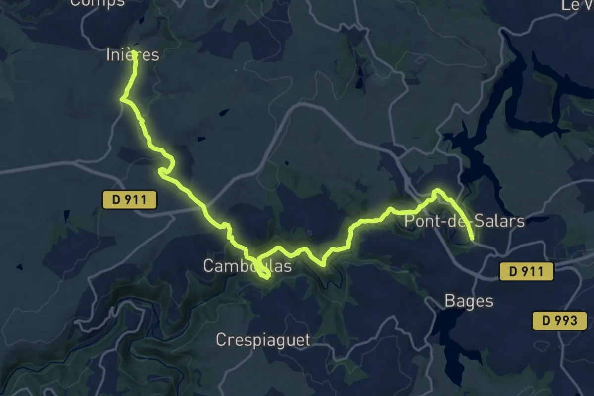
Demanding · Trail
Pont-de-Salars - Inières
23.1 km · ↑ 719 m · 7 h 1 min · 15 km away
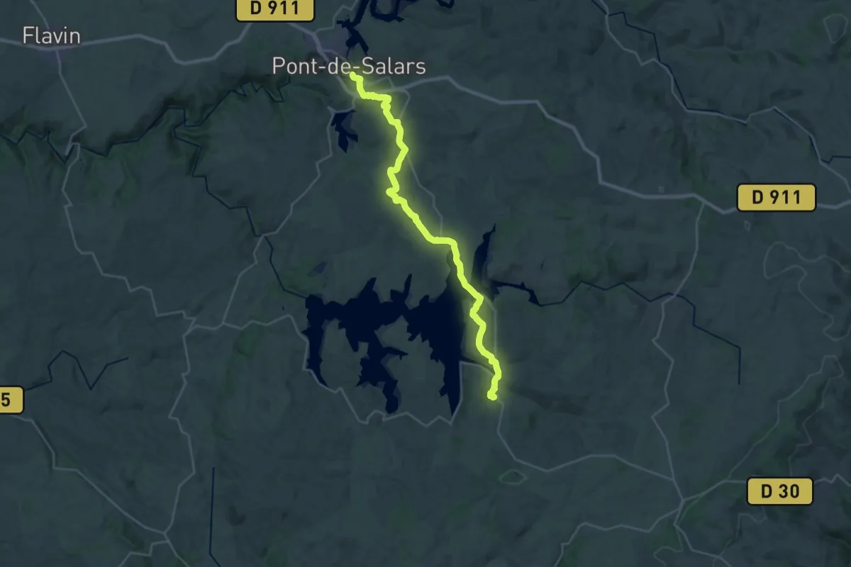
Medium · Trail
Salles-Curan - Pont-de-Salars
15.2 km · ↑ 369 m · 4 h 31 min · 15 km away