Trails near Roquebrune-Cap-Martin
52 hikes starting within 15 km, nearest first.
Nearest first, page 1 of 2
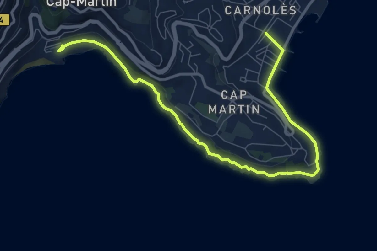
Medium · Trail
Tour du cap Martin
9.5 km · ↑ 165 m · 2 h 36 min · 1 km away
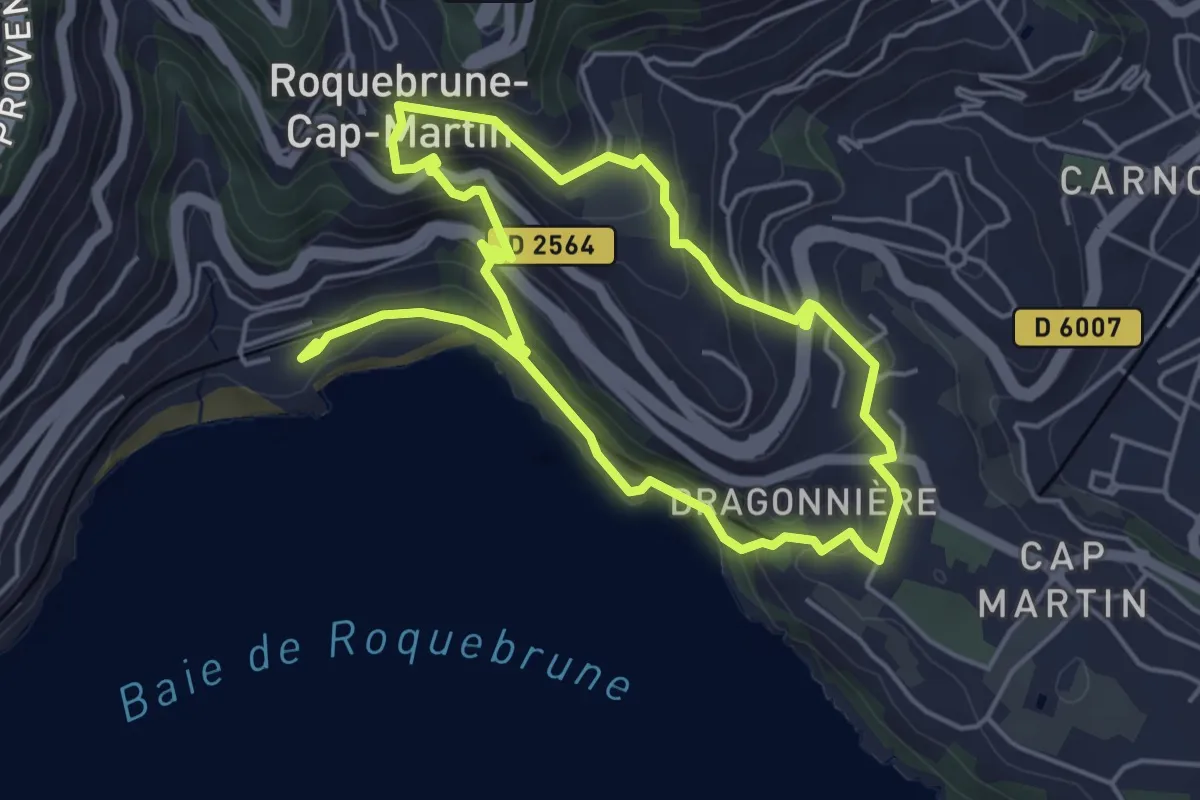
Easy · Trail
Château de Roquebrune
4.6 km · ↑ 258 m · 1 h 42 min · 1 km away
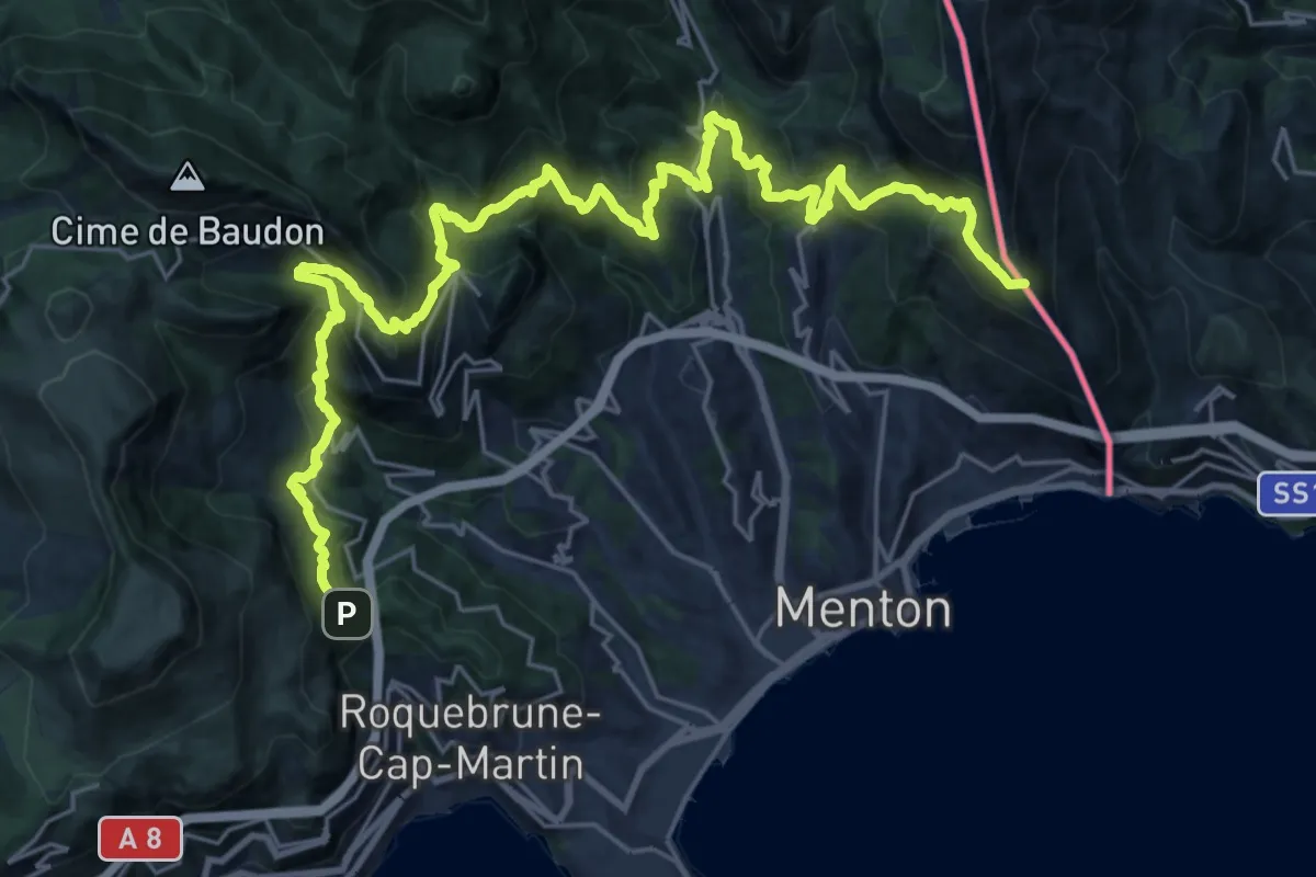
Demanding · Summit
Menton – Roquebrune
34.1 km · ↑ 2330 m · 13 h 6 min · 2 km away
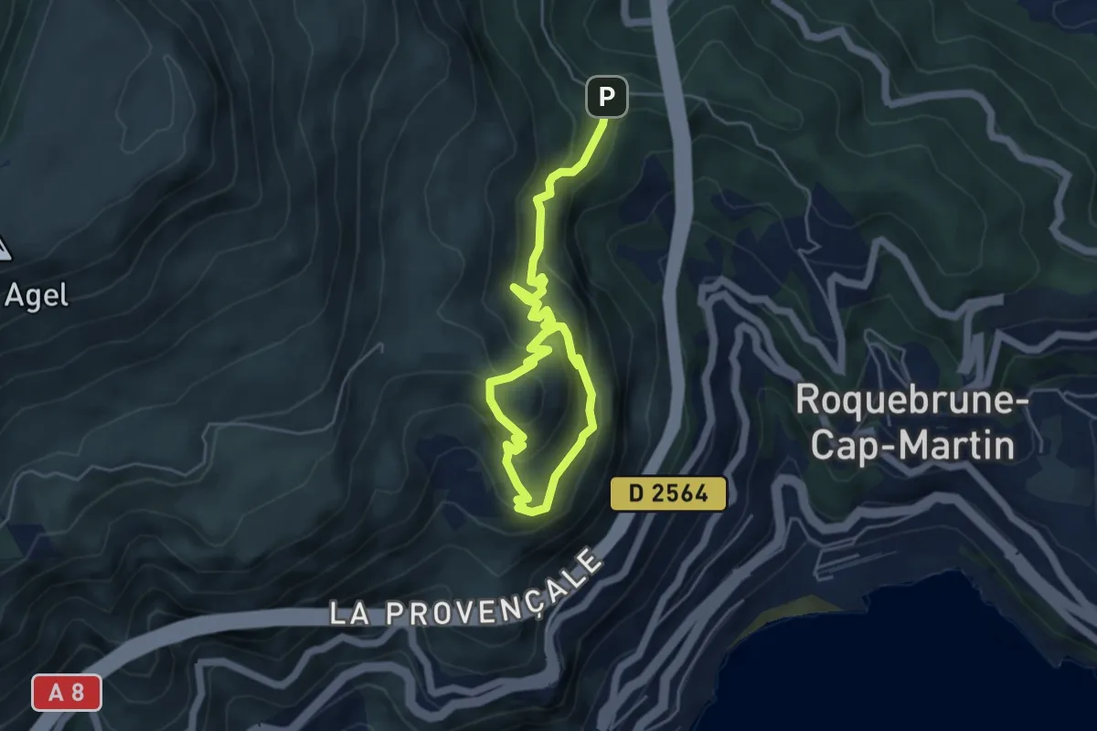
Easy · Summit
Tour du mont Gros
3.4 km · ↑ 283 m · 1 h 25 min · 2 km away
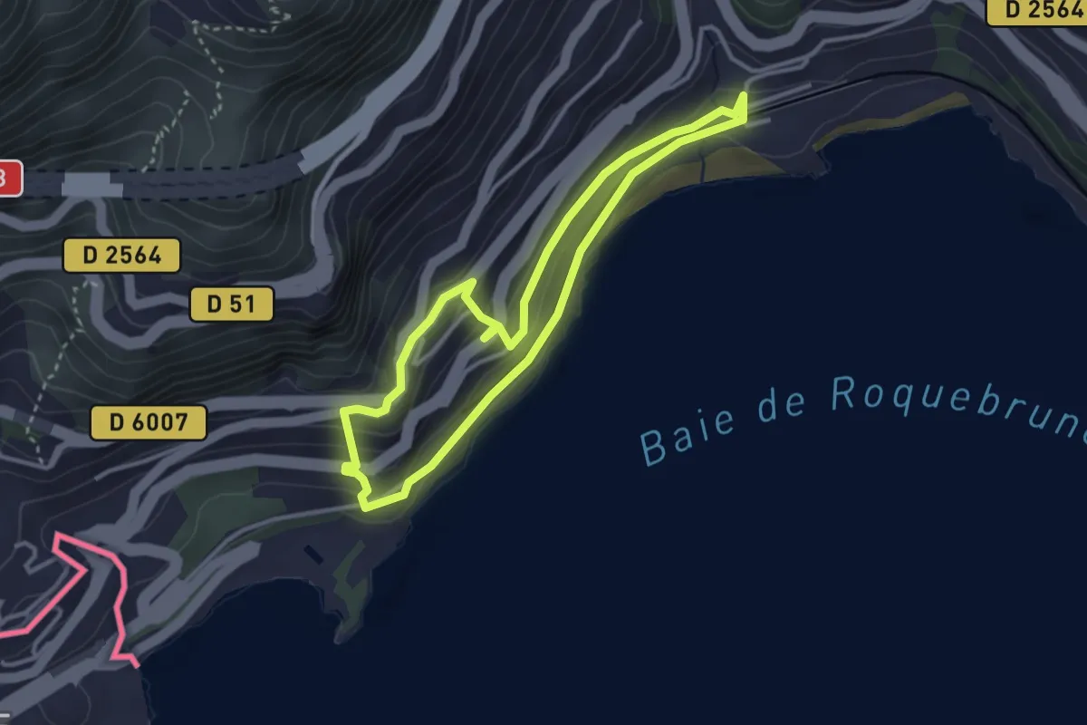
Easy · Trail
Circuit de Bon Voyage
3.1 km · ↑ 114 m · 1 h 2 min · 2 km away
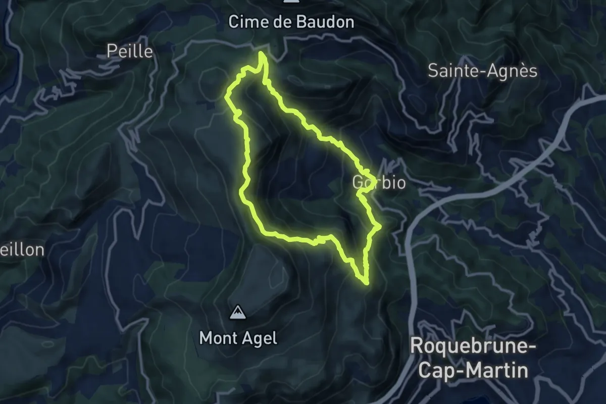
Demanding · Summit
Circuit des Cabanelles
10.1 km · ↑ 809 m · 4 h 17 min · 3 km away
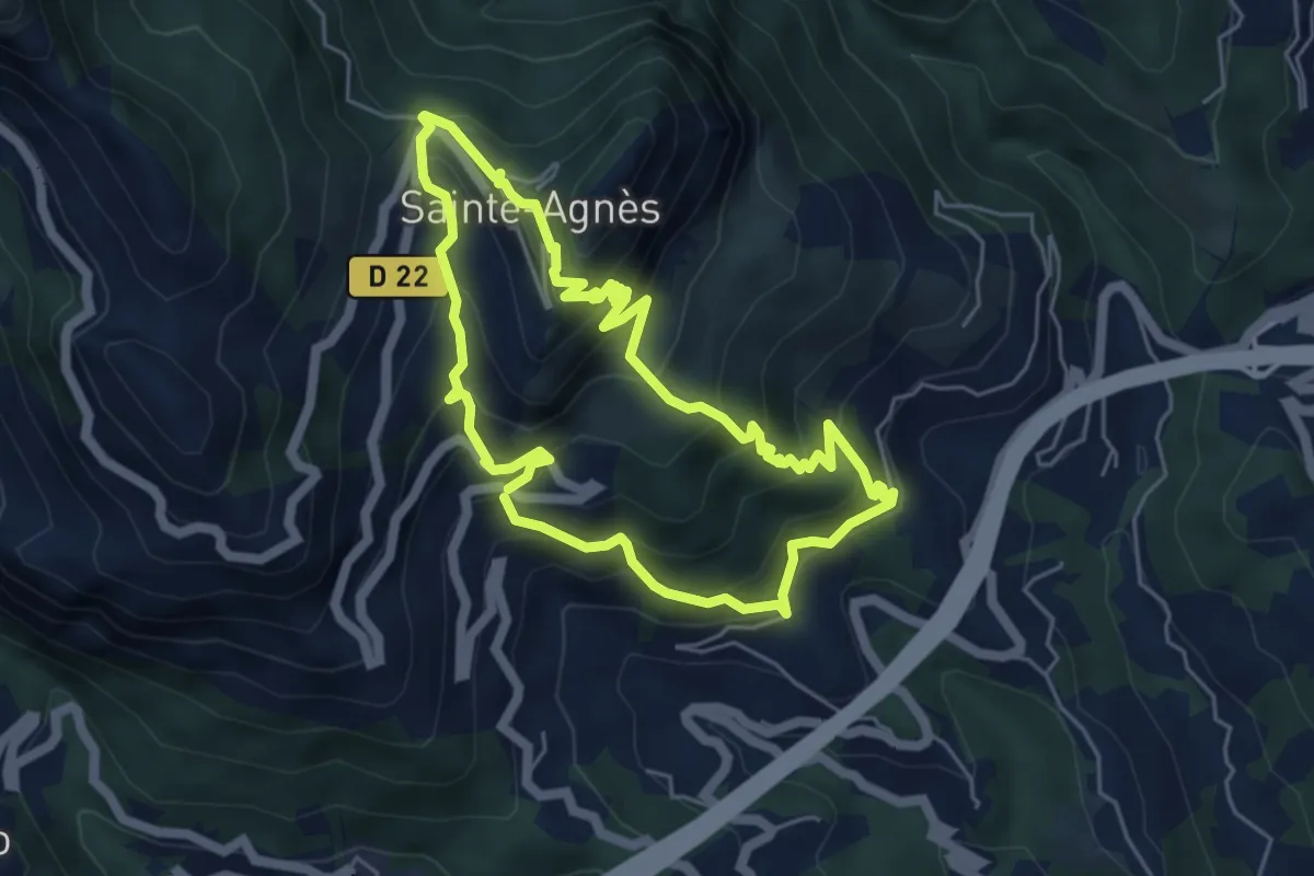
Medium · Trail
Château de Sainte-Agnès
5.2 km · ↑ 482 m · 2 h 21 min · 3 km away
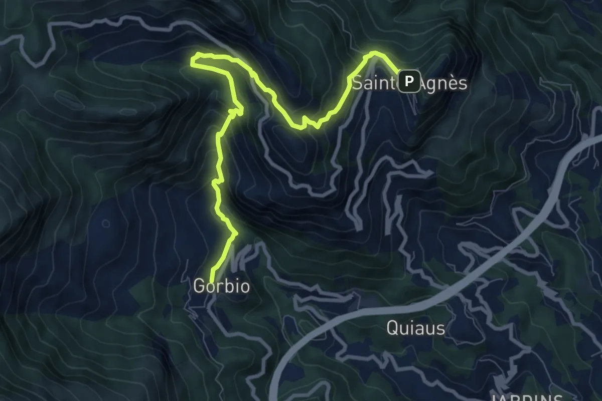
Easy · Trail
Circuit de Bausson
4.8 km · ↑ 256 m · 1 h 54 min · 4 km away
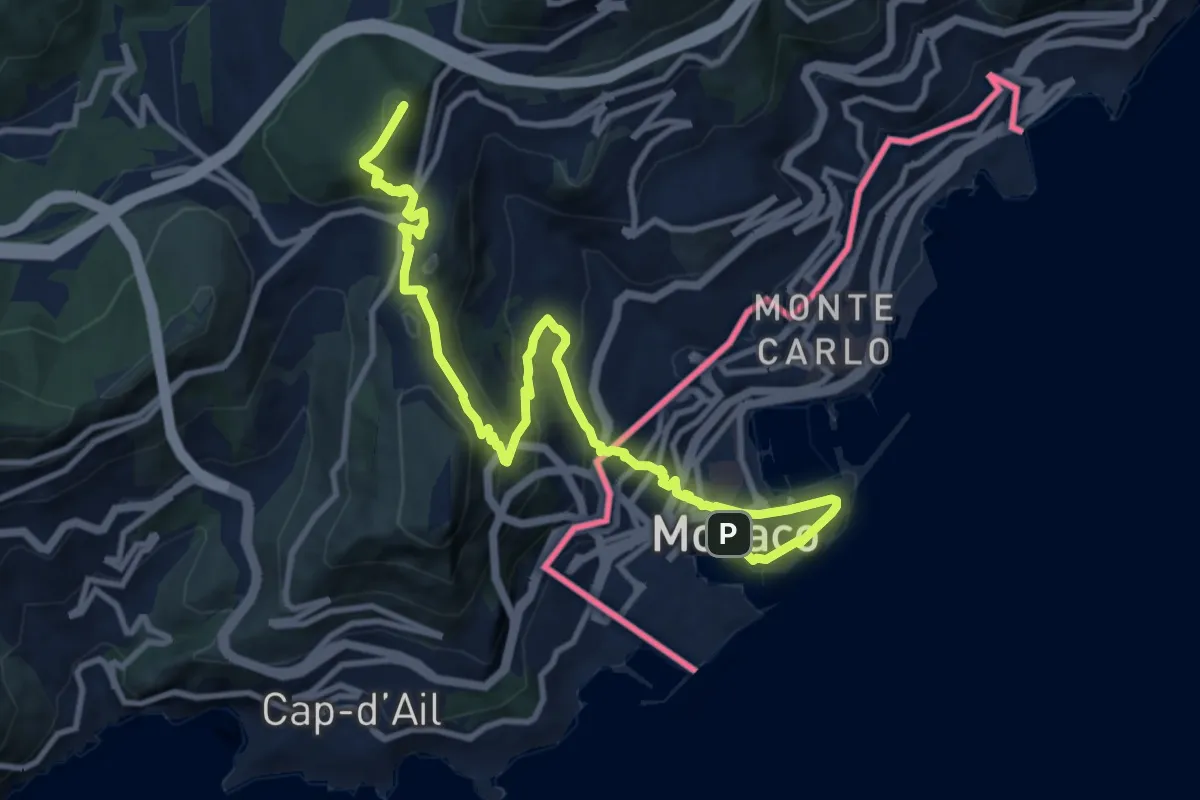
Medium · Summit
Via Alpina Red R161
13.3 km · ↑ 739 m · 4 h 44 min · 5 km away
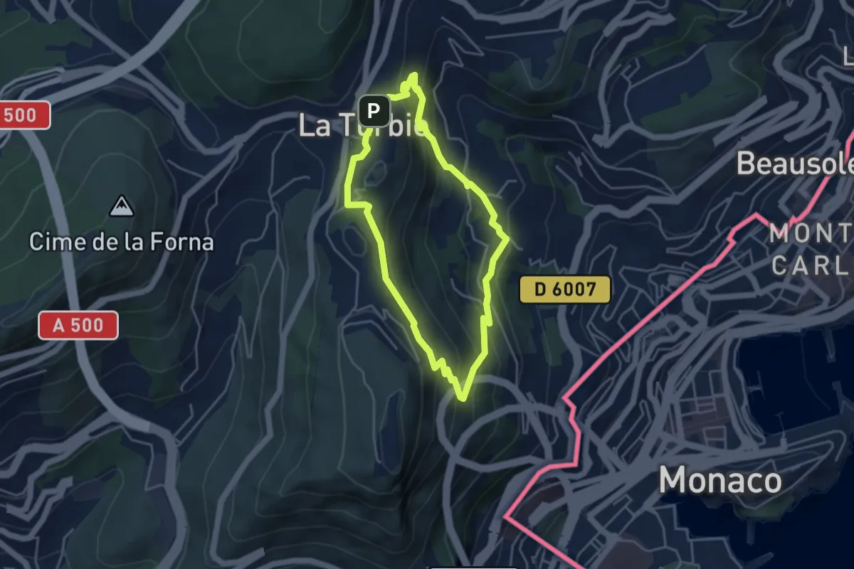
Easy · Trail
Trophée d'Auguste
3.9 km · ↑ 268 m · 1 h 33 min · 5 km away
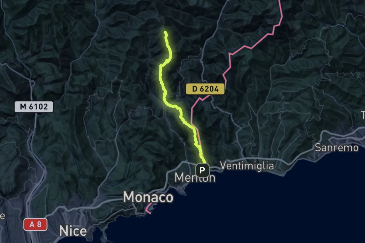
Demanding · Summit
Massif de l'Authion - Menton
63.0 km · ↑ 4840 m · 25 h 22 min · 5 km away
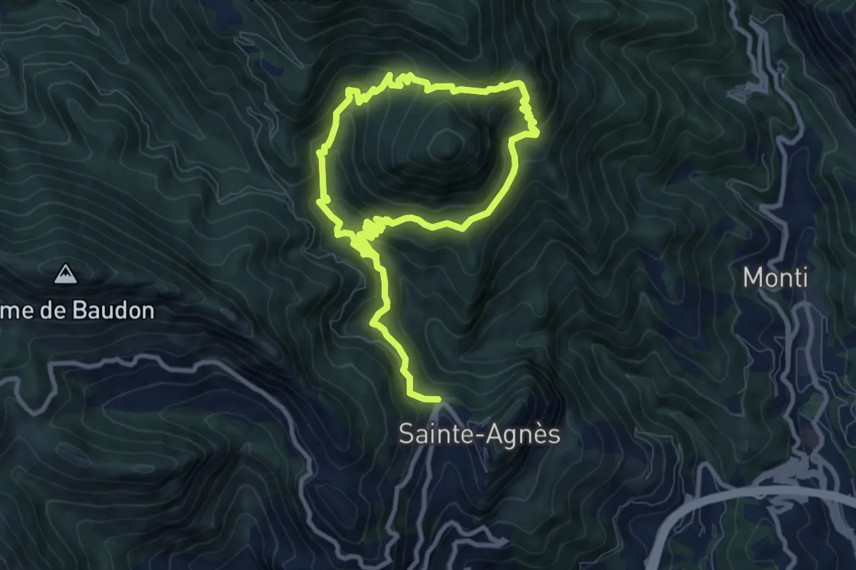
Medium · Trail
Pointe Siricocca
7.2 km · ↑ 498 m · 2 h 53 min · 5 km away
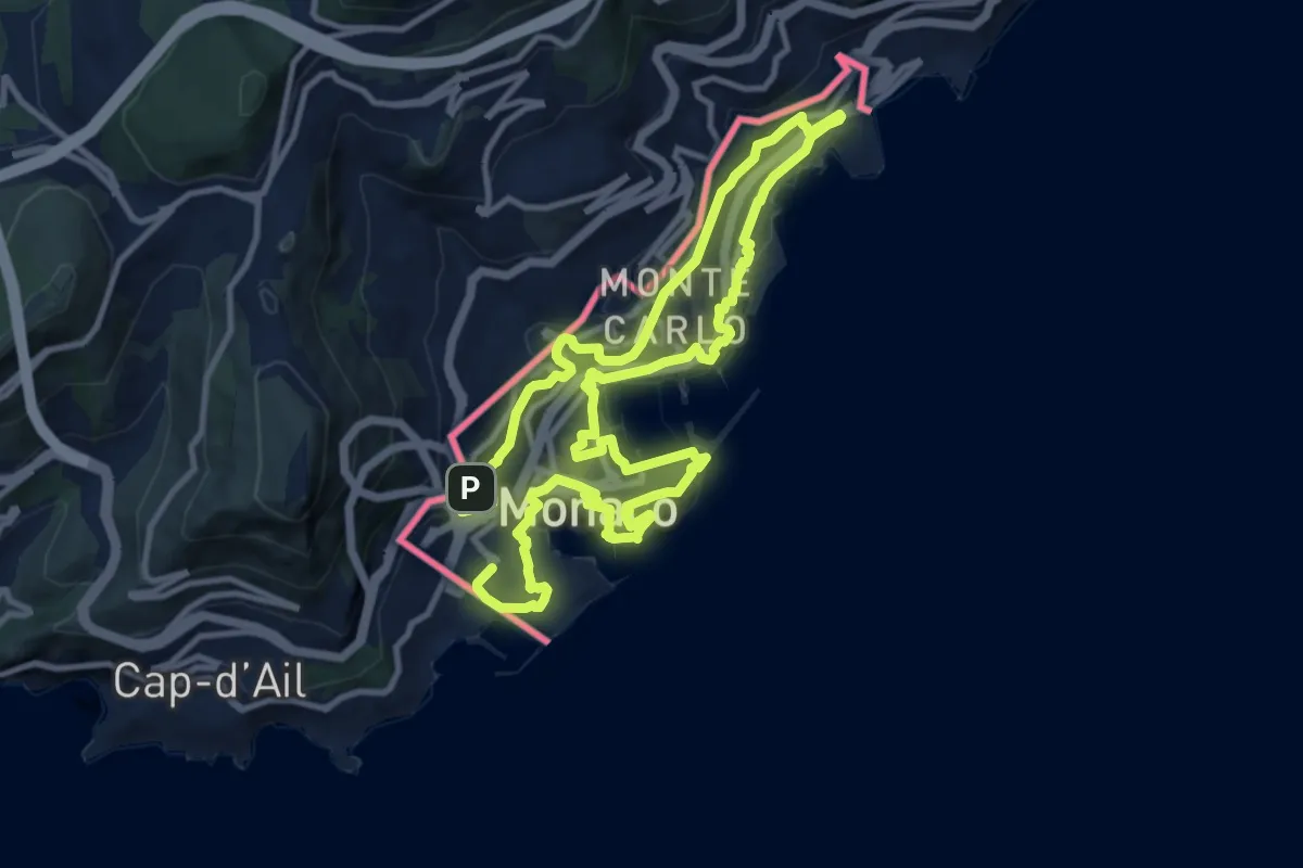
Demanding · Trail
Parcours Princesse Grace
21.8 km · ↑ 715 m · 6 h 41 min · 5 km away
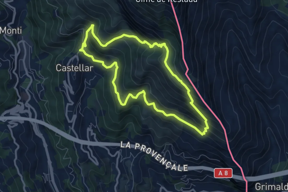
Medium · Summit
Mont Carpano
7.1 km · ↑ 512 m · 2 h 53 min · 6 km away
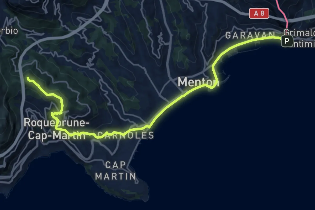
Demanding · Summit
Via Aurelia, Menton - Roquebrune
18.8 km · ↑ 605 m · 5 h 44 min · 6 km away
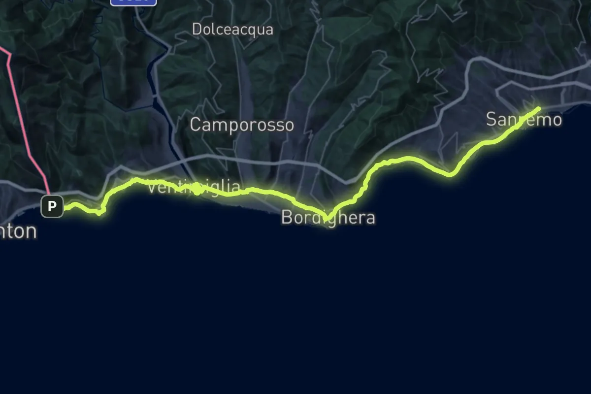
Demanding · Trail
Via della Costa - Tappa 1
26.1 km · ↑ 604 m · 7 h 50 min · 6 km away
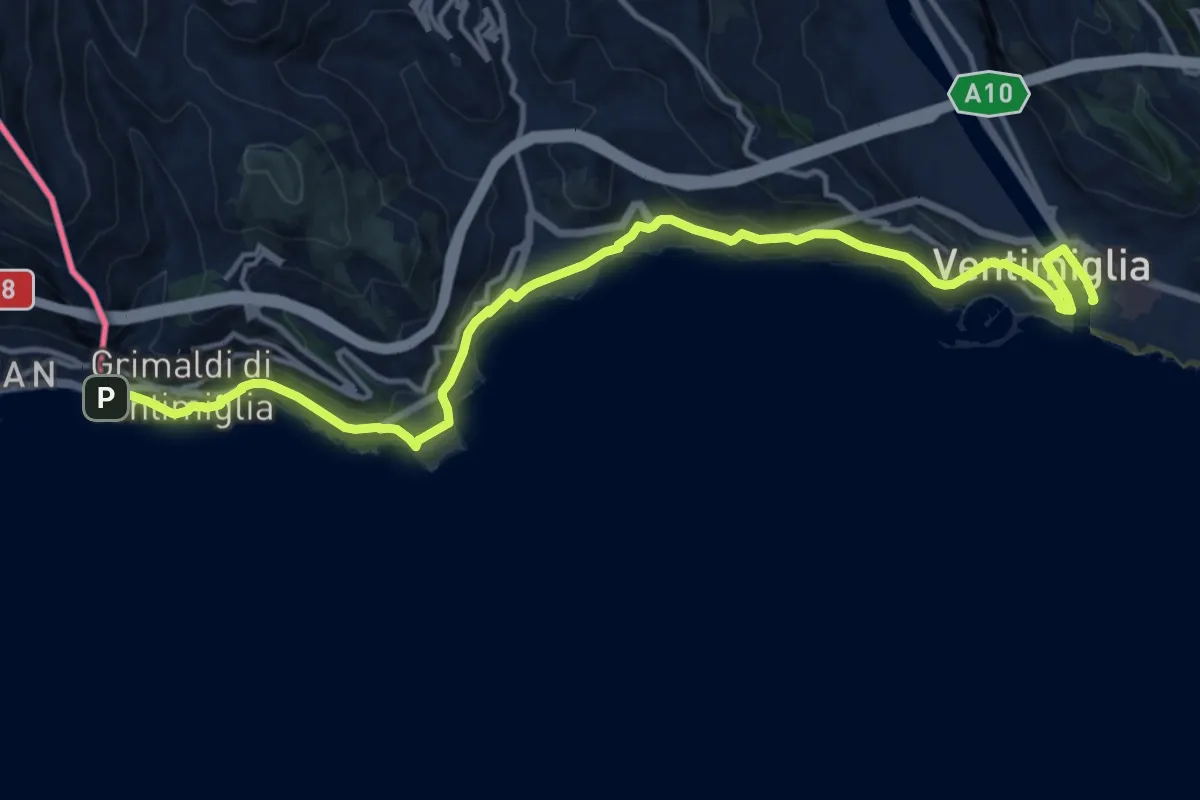
Medium · Trail
Sentiero Liguria - Tappa 29
17.0 km · ↑ 499 m · 5 h 6 min · 6 km away
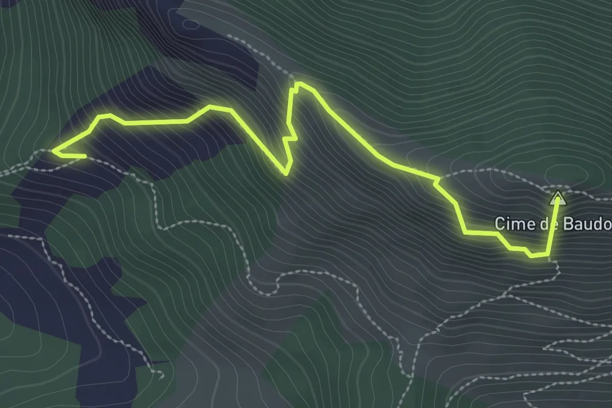
Medium · Summit
Cime de Baudon
3.5 km · ↑ 608 m · 2 h 9 min · 6 km away
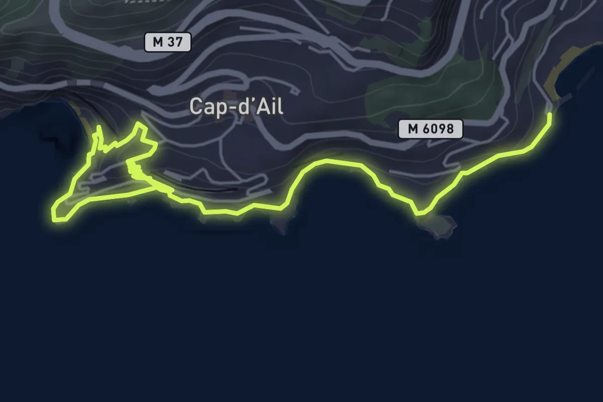
Easy · Trail
Sentier de Cap d'Ail
3.6 km · ↑ 163 m · 1 h 14 min · 6 km away
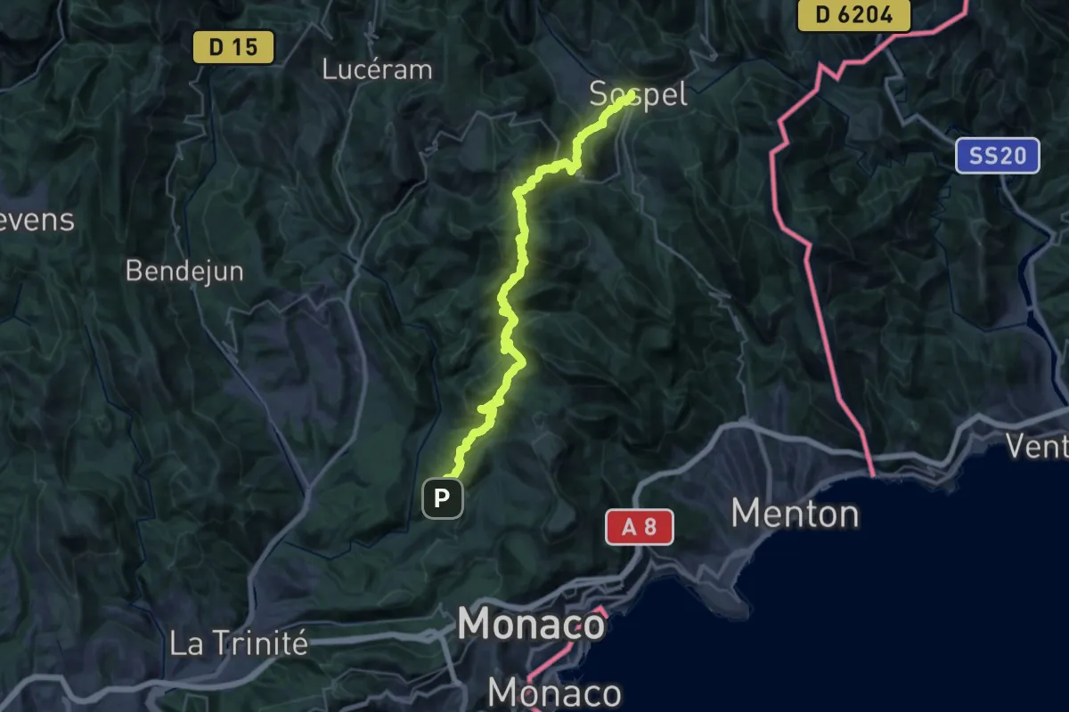
Demanding · Trail
Via Alpina Red R160
19.0 km · ↑ 1296 m · 7 h 34 min · 6 km away
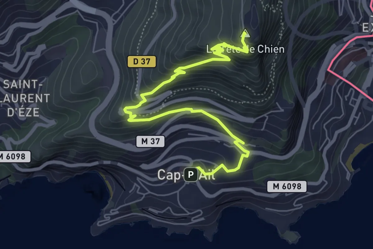
Medium · Summit
Tour de la tête de Chien
7.3 km · ↑ 466 m · 2 h 44 min · 7 km away
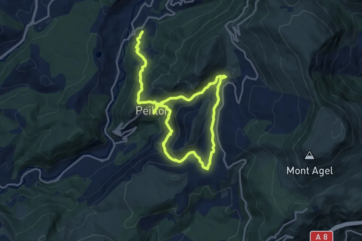
Demanding · Trail
Circuit de Lourquière
17.0 km · ↑ 912 m · 6 h · 7 km away
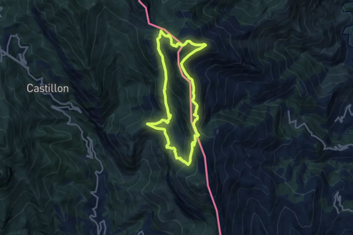
Medium · Summit
Le Grand Mont
8.8 km · ↑ 690 m · 3 h 42 min · 8 km away
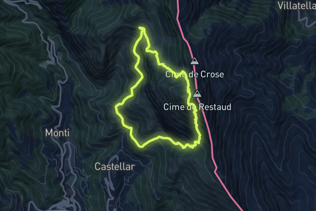
Medium · Summit
Tour du Roc d'Orméa
7.0 km · ↑ 753 m · 3 h 23 min · 8 km away
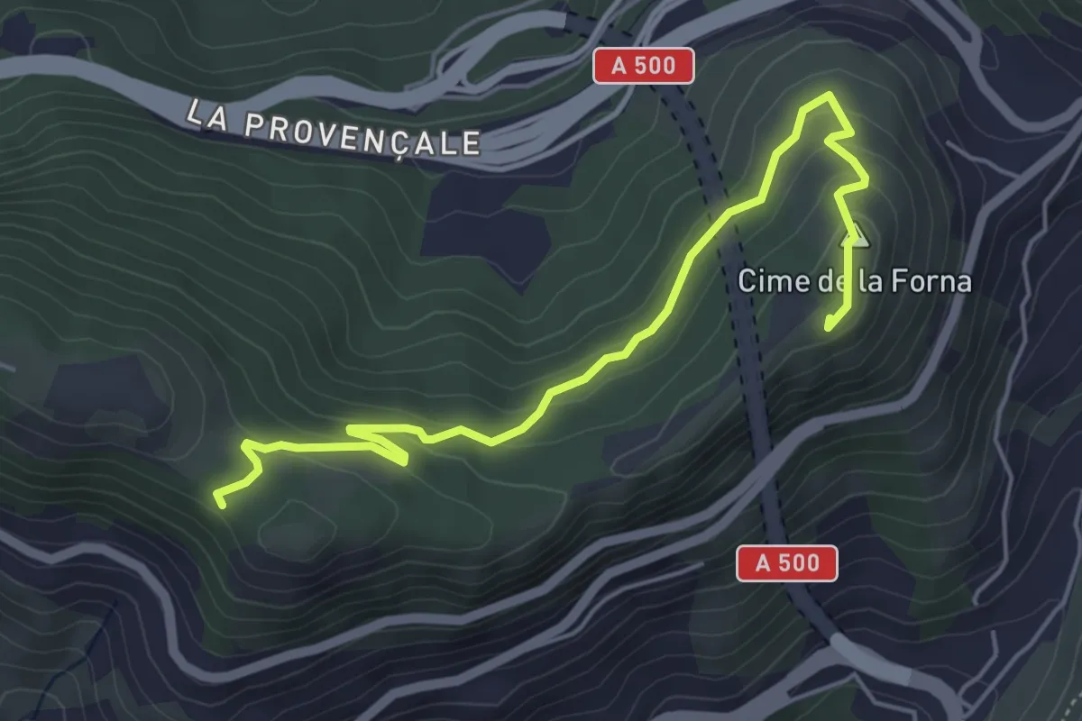
Easy · Summit
Circuit de la Forna
5.8 km · ↑ 227 m · 1 h 52 min · 8 km away
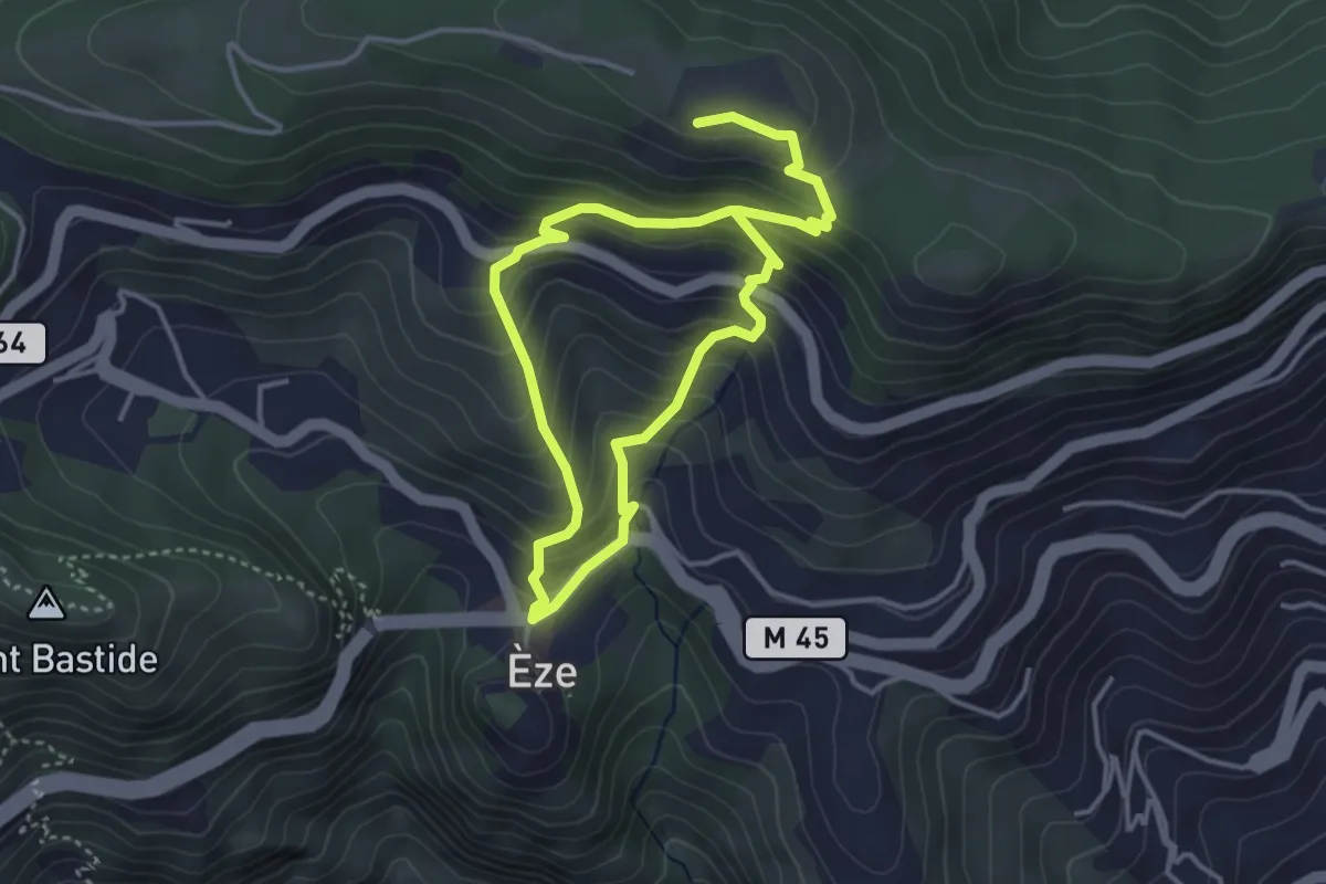
Medium · Trail
Fort de La Revère
6.4 km · ↑ 584 m · 2 h 47 min · 8 km away
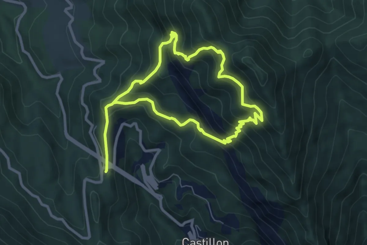
Medium · Summit
Circuit du Razet
5.7 km · ↑ 533 m · 2 h 33 min · 8 km away
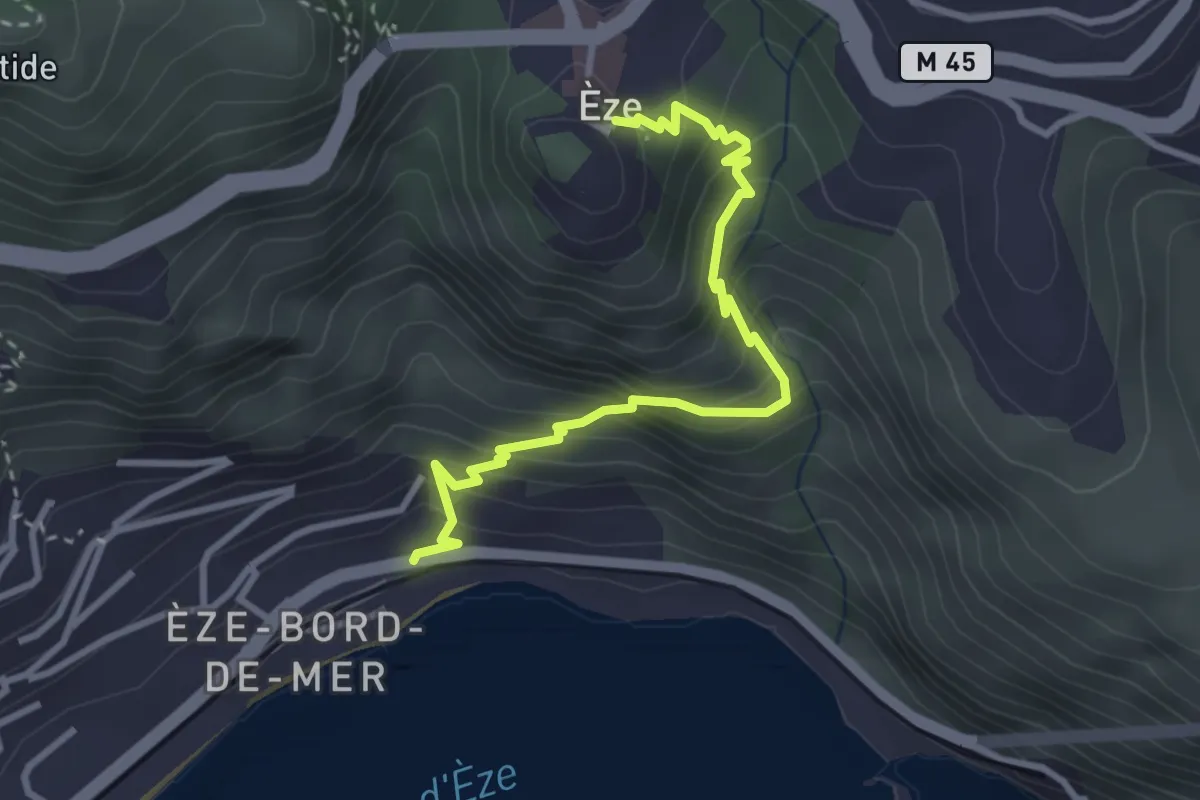
Medium · Trail
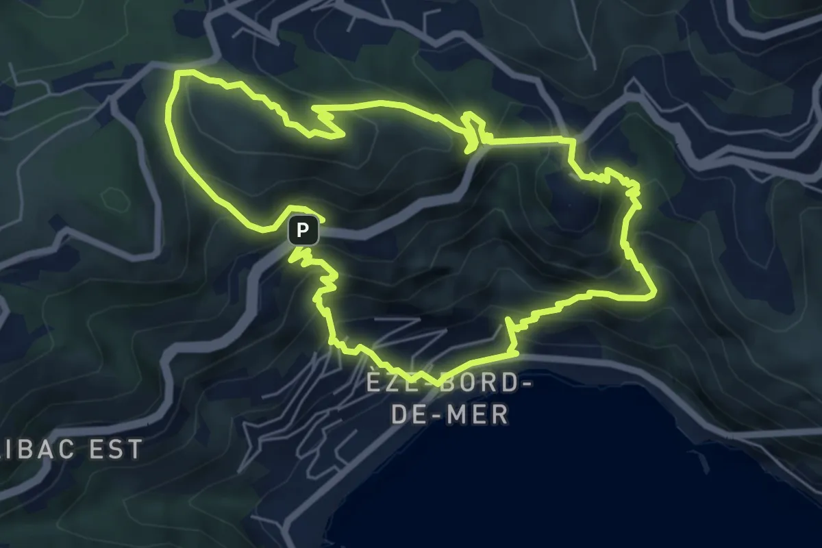
Chemin de Nietzsche
3.5 km · ↑ 387 m · 1 h 40 min · 9 km away
Medium · Summit
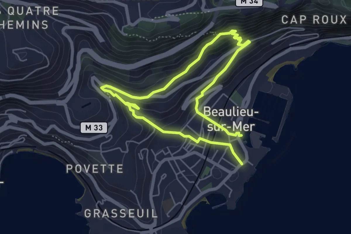
Circuit du mont Bastide
6.7 km · ↑ 628 m · 3 h 2 min · 10 km away
Medium · Trail
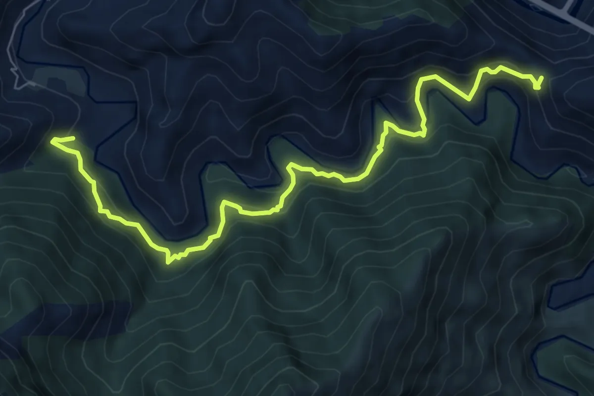
Petite Afrique
8.1 km · ↑ 475 m · 2 h 57 min · 12 km away
Medium · Trail
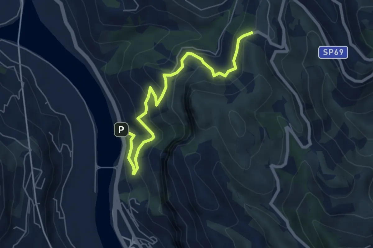
Collabassa – Anello del Bossarè
8.3 km · ↑ 566 m · 3 h 11 min · 12 km away
Medium · Trail
Roverino – Ciaxie
5.8 km · ↑ 501 m · 2 h 27 min · 12 km away
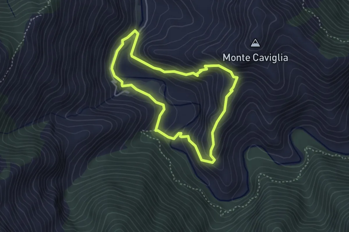
Medium · Trail
Anello di Bossarè
3.4 km · ↑ 228 m · 1 h 20 min · 12 km away
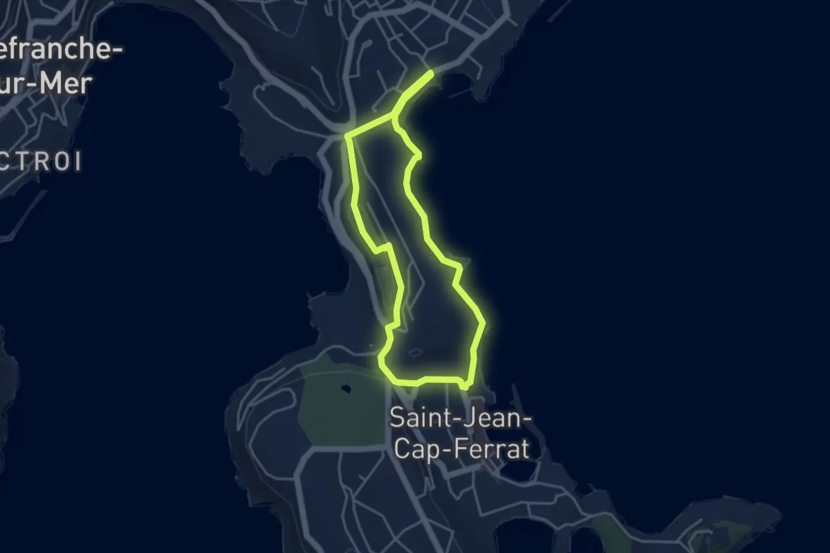
Easy · Trail
Isthme de Saint-Jean
3.7 km · ↑ 70 m · 1 h 4 min · 12 km away
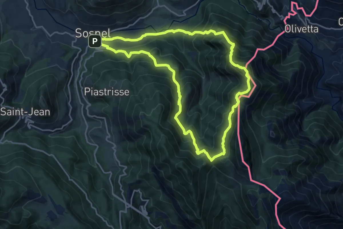
Demanding · Summit
Circuit du Cuore
13.5 km · ↑ 1000 m · 5 h 33 min · 12 km away
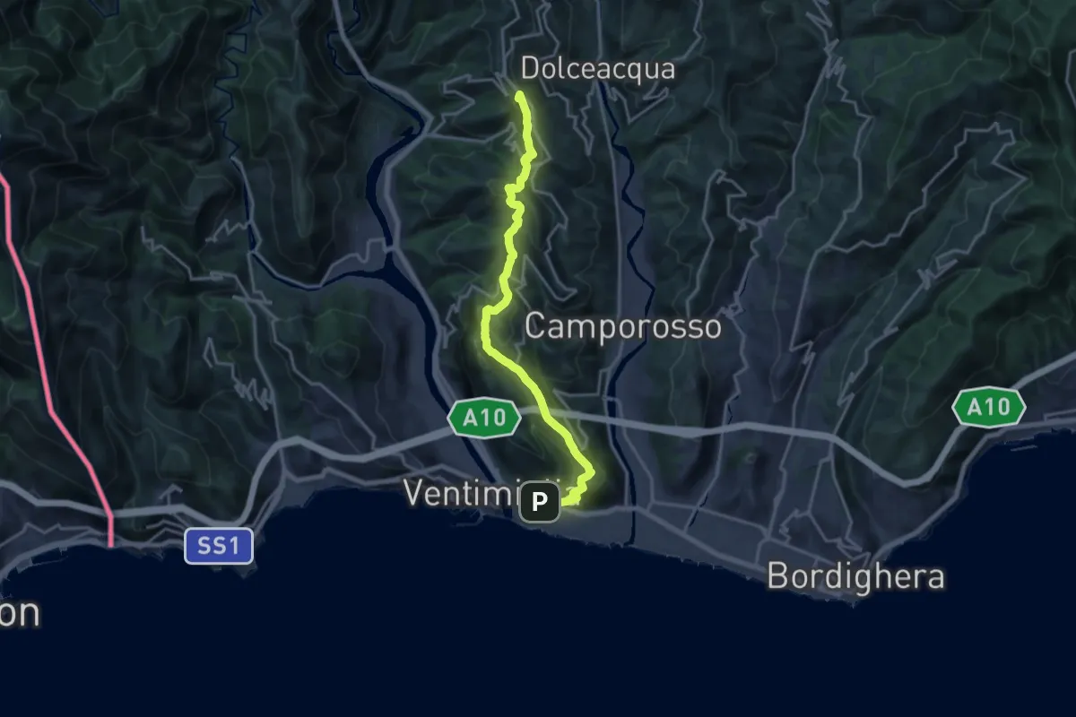
Demanding · Summit
Ventimiglia - La Colla
18.1 km · ↑ 968 m · 6 h 23 min · 13 km away
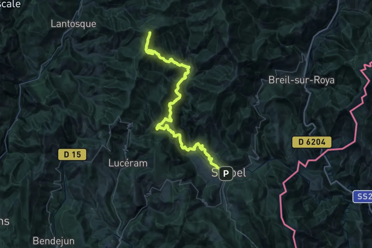
Demanding · Summit
Via Alpina Blue D61
45.4 km · ↑ 3554 m · 18 h 25 min · 13 km away
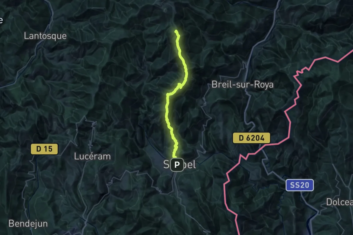
Demanding · Summit
Via Alpina Stage 114: Camp d'Argent - Sospel
29.7 km · ↑ 2041 m · 11 h 26 min · 13 km away
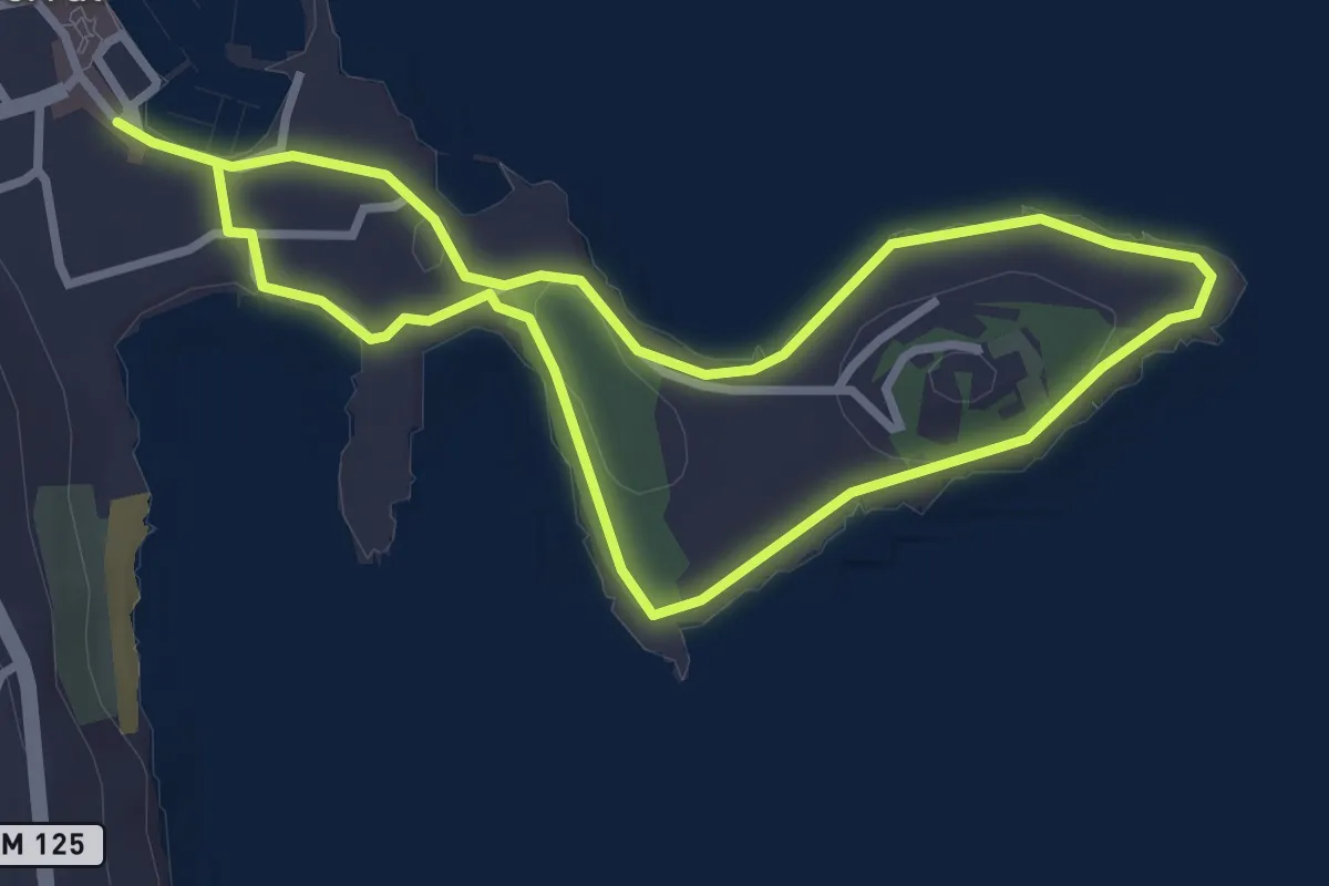
Easy · Trail
Pointe Saint-Hospice
3.0 km · ↑ 19 m · 47 min · 13 km away
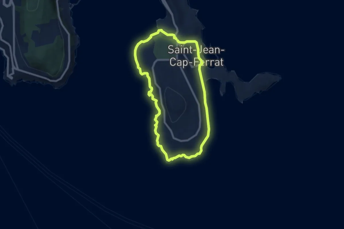
Easy · Trail
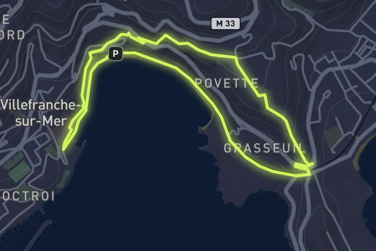
Tour du cap Ferrat
6.0 km · ↑ 181 m · 1 h 54 min · 13 km away
Easy · Trail
Circuit de la Rade
4.2 km · ↑ 152 m · 1 h 23 min · 13 km away
Medium · Summit
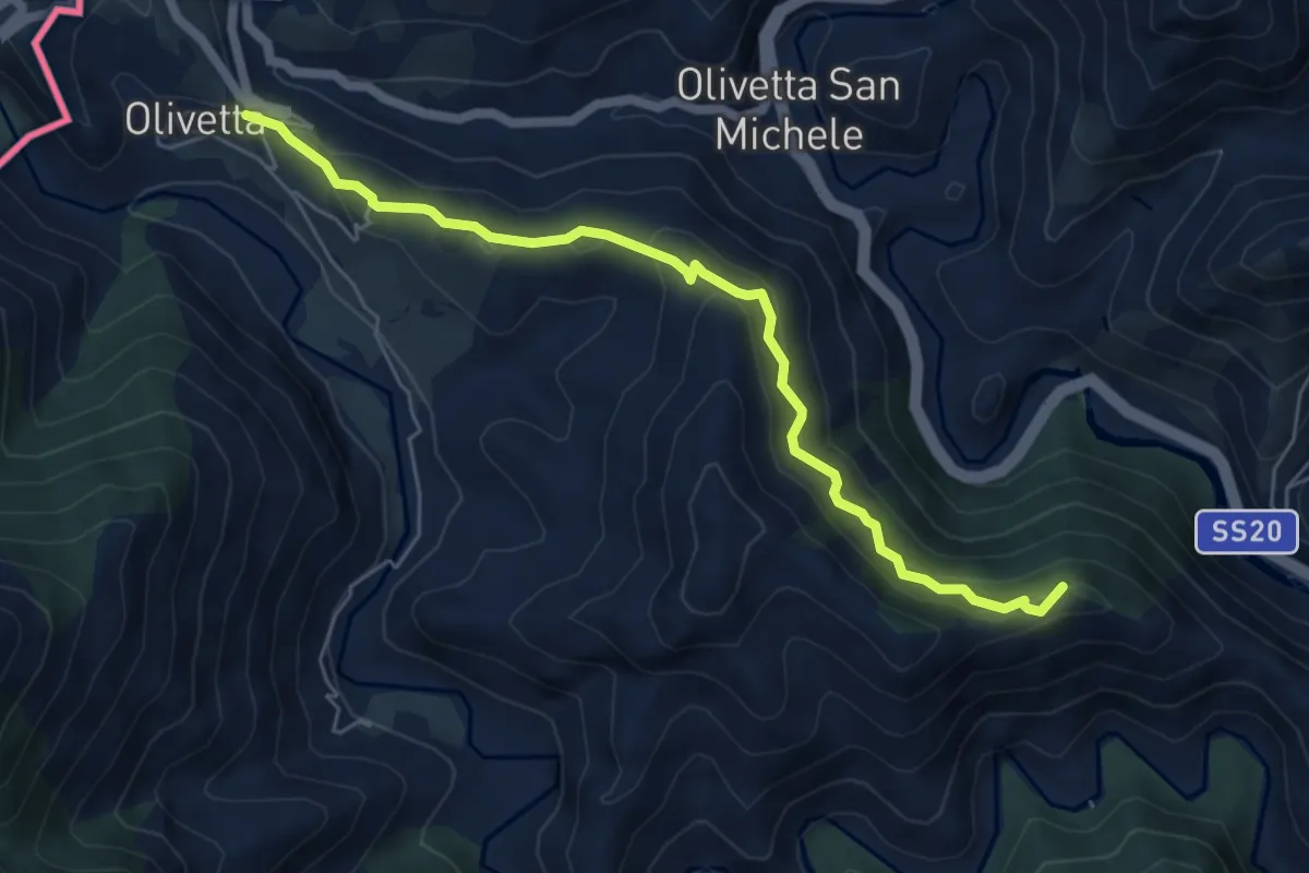
Anello del Gramondo
6.1 km · ↑ 338 m · 2 h 11 min · 14 km away
Demanding · Summit
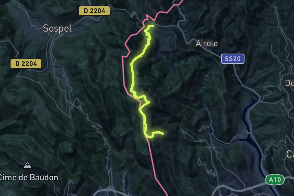
Anello del Gramondo
11.0 km · ↑ 1129 m · 4 h 55 min · 14 km away
Medium · Trail
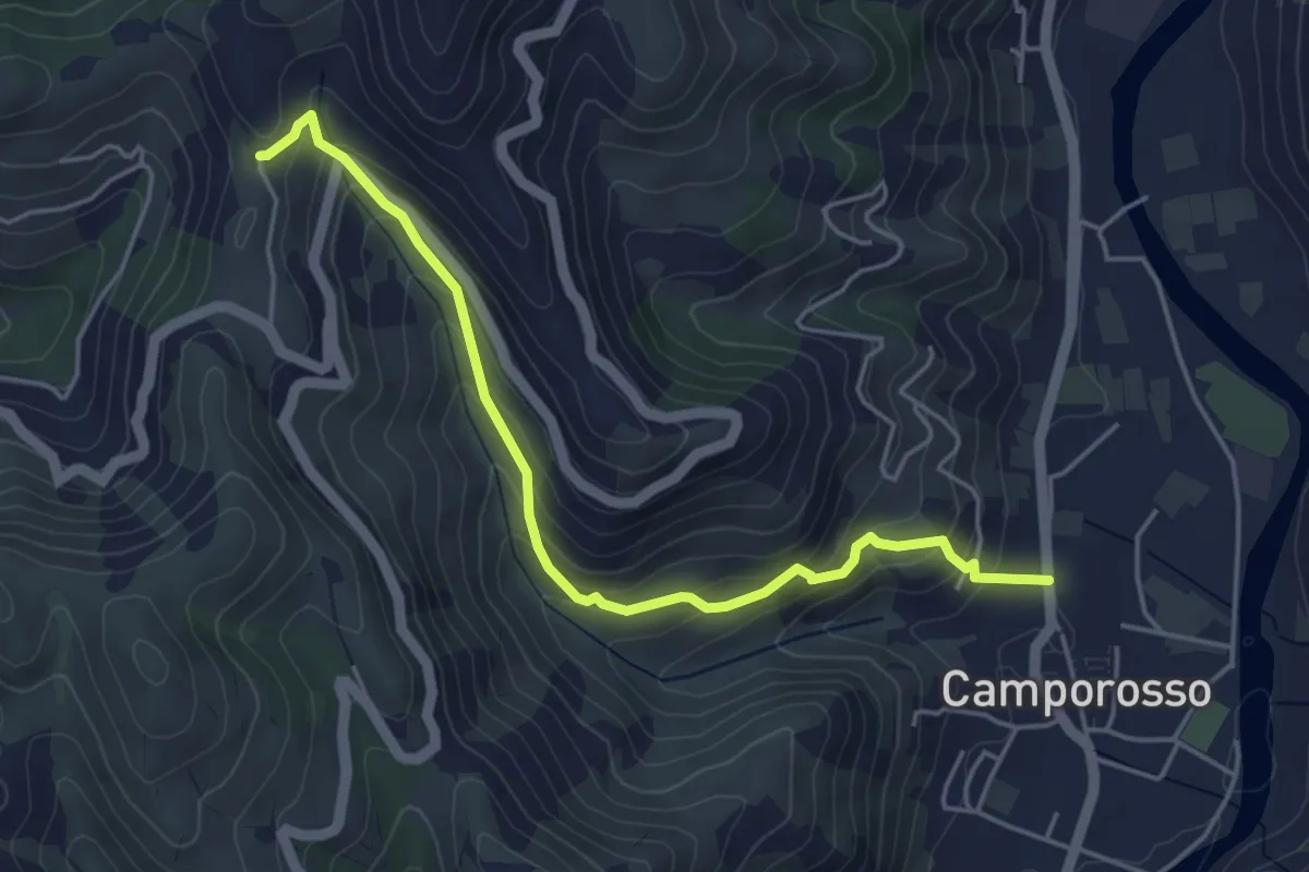
Camporosso – Madonna della Neve
4.9 km · ↑ 355 m · 1 h 56 min · 14 km away
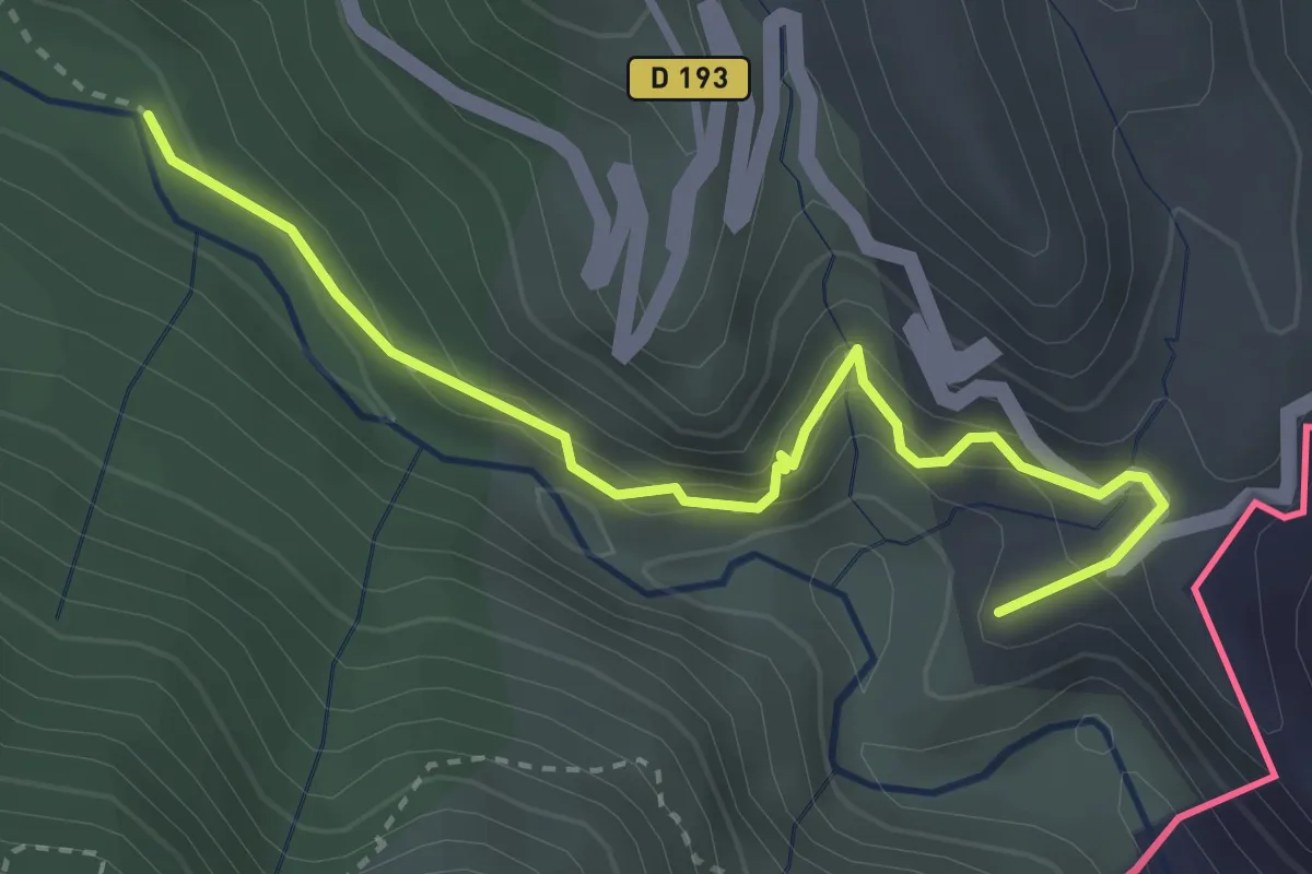
Medium · Summit
Sentier des Huit Vallées
3.5 km · ↑ 330 m · 1 h 33 min · 14 km away
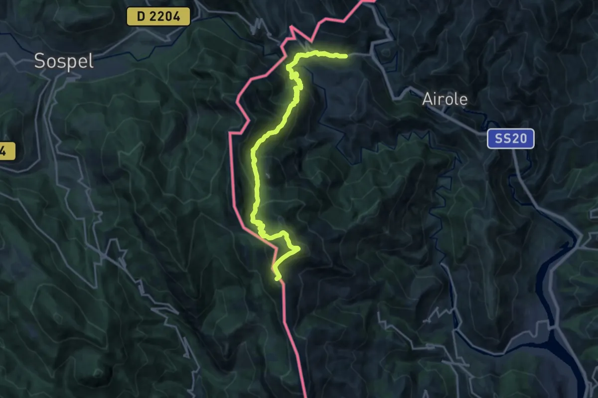
Demanding · Summit
AM0 - ALPI MARE 0
18.6 km · ↑ 1407 m · 7 h 26 min · 14 km away
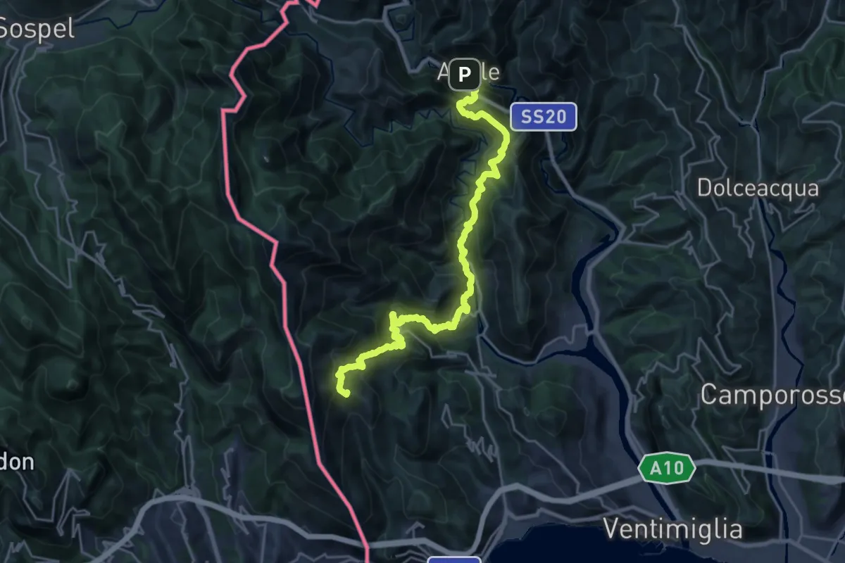
Demanding · Summit
Sentiero Balcone Mediterraneo T1
25.7 km · ↑ 2058 m · 10 h 32 min · 14 km away
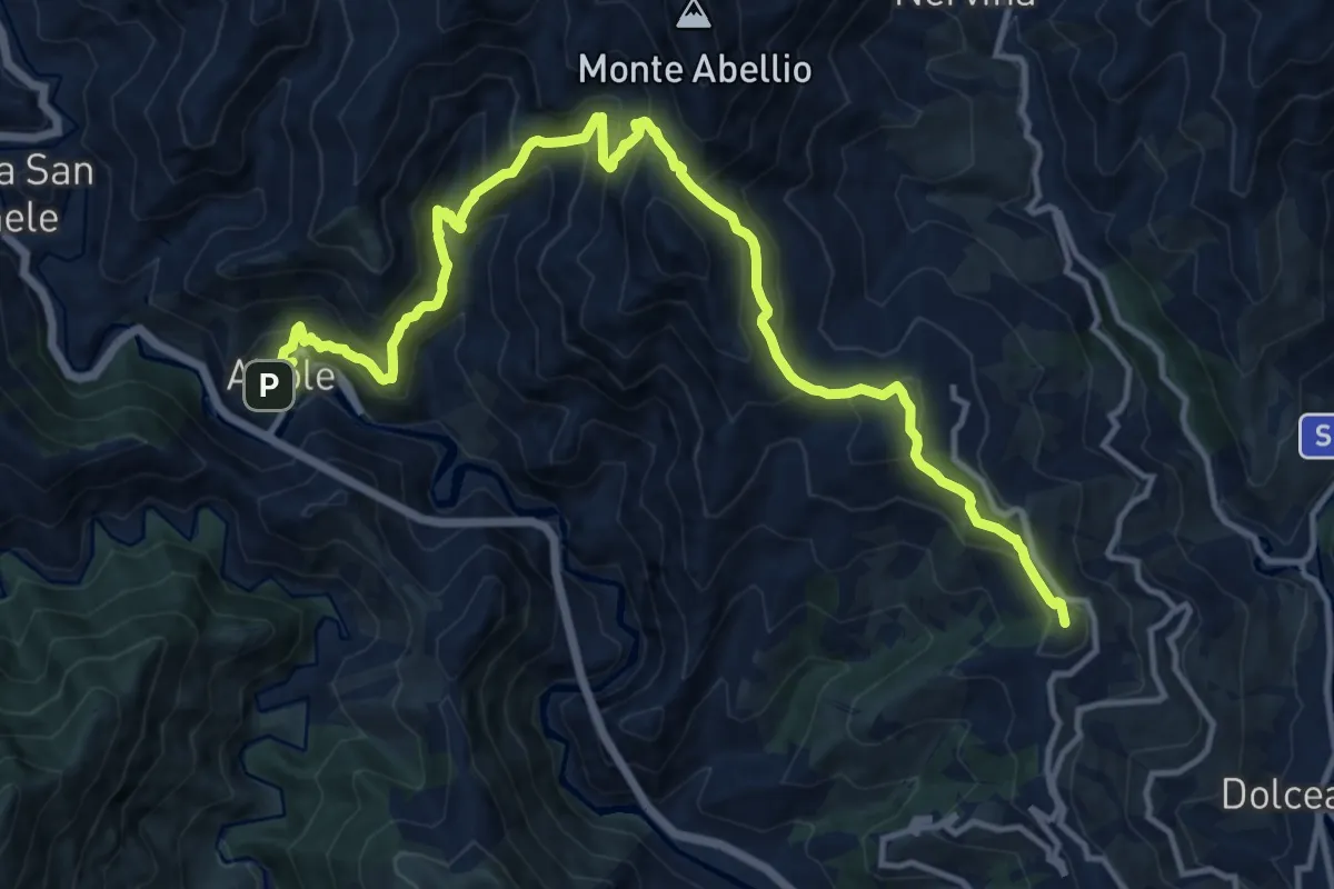
Demanding · Summit
Sentiero Balcone Mediterraneo T2
16.6 km · ↑ 1430 m · 7 h 1 min · 14 km away