Trails near Saint-Amand-Montrond
25 hikes starting within 15 km, nearest first.
Nearest first
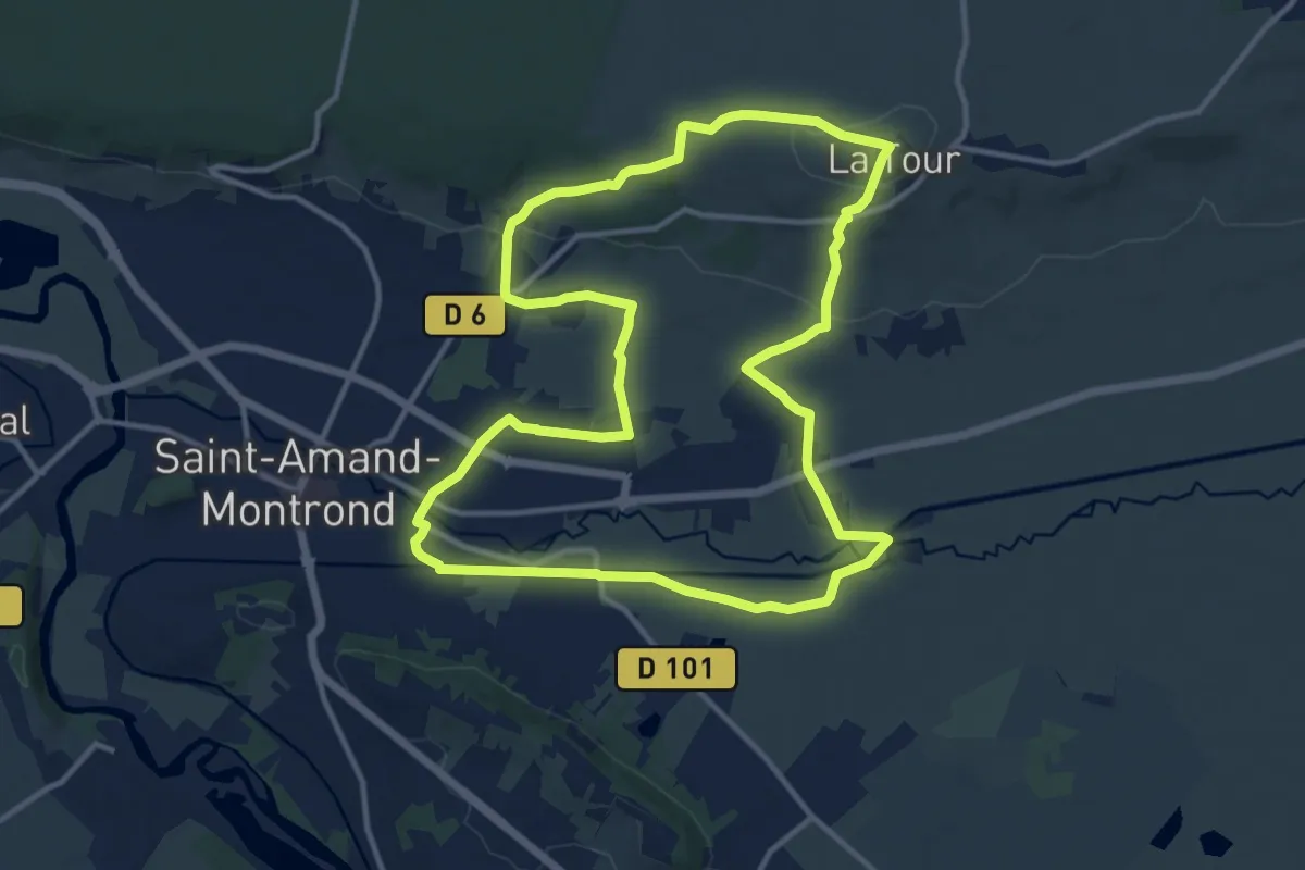
Medium · Trail
Boucle de la Tour Malakoff
12.9 km · ↑ 153 m · 3 h 33 min · 1 km away
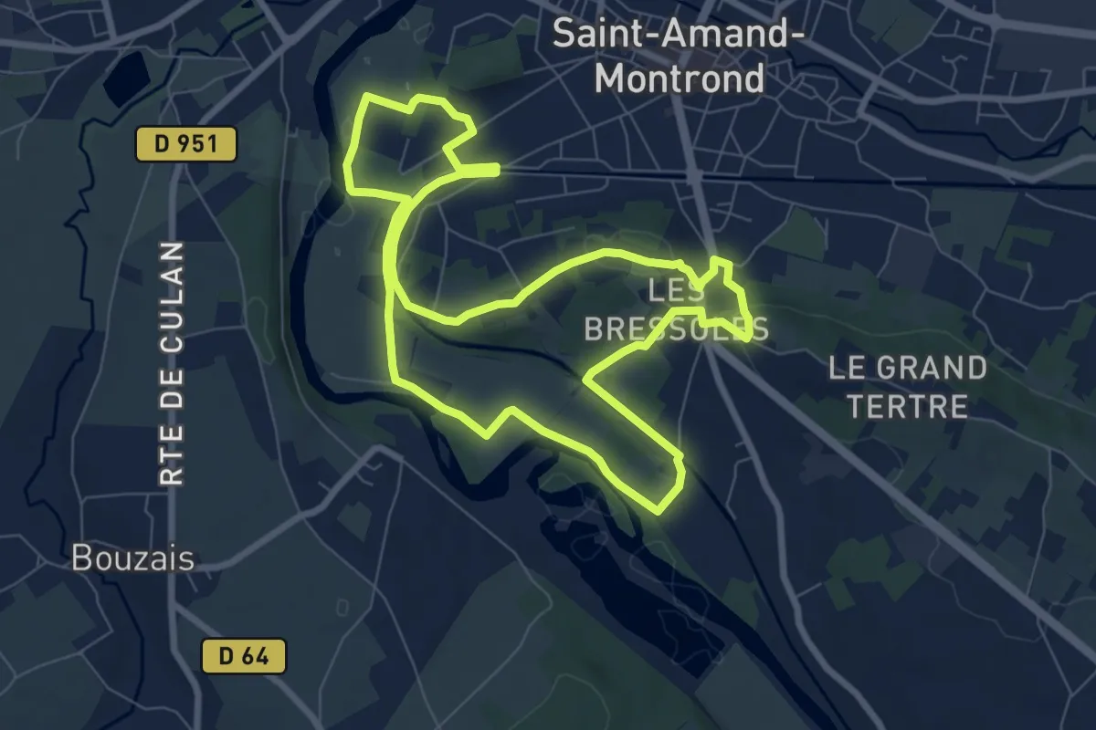
Easy · Trail
Boucle des Belles Vues
7.7 km · ↑ 97 m · 2 h 9 min · 1 km away
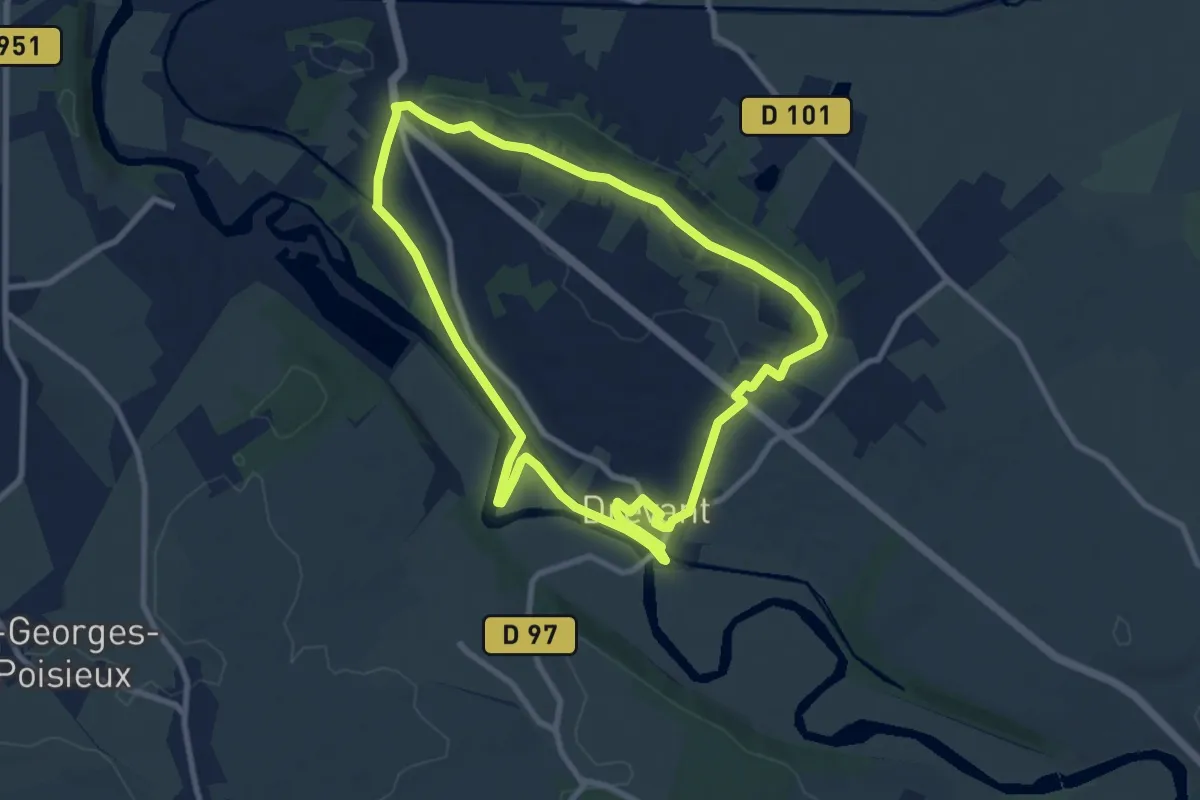
Medium · Trail
Boucle du Tertre
8.9 km · ↑ 93 m · 2 h 25 min · 2 km away
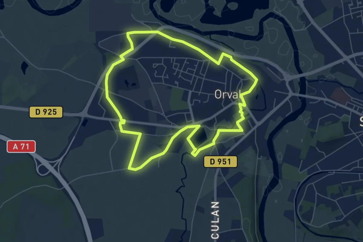
Easy · Trail
Boucle du Patrimoine
6.4 km · ↑ 28 m · 1 h 40 min · 2 km away
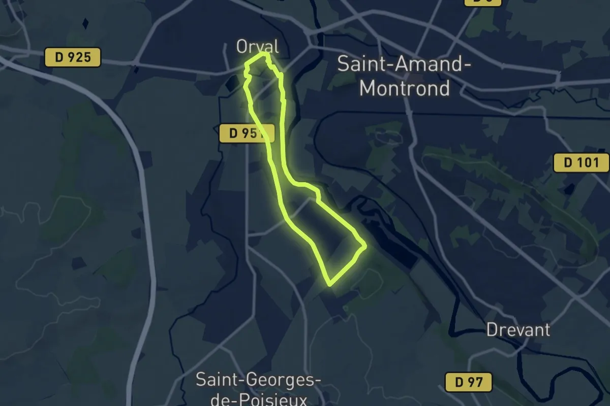
Easy · Trail
Boucle des Orchidées
7.3 km · ↑ 93 m · 2 h 1 min · 2 km away
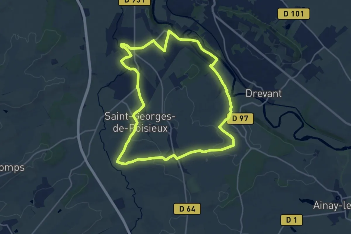
Medium · Trail
Les Sources
13.8 km · ↑ 139 m · 3 h 46 min · 4 km away
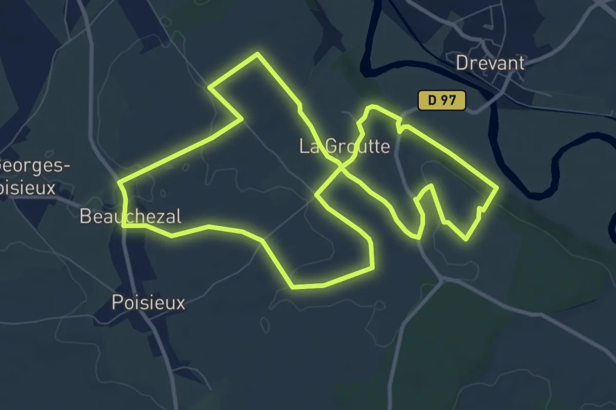
Medium · Trail
Boucle de l'Oppidum
9.4 km · ↑ 75 m · 2 h 31 min · 5 km away
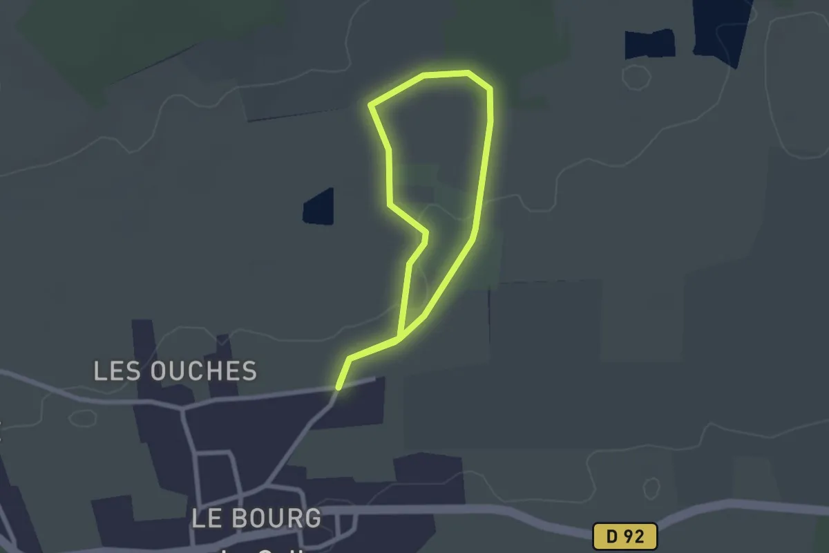
Easy · Trail
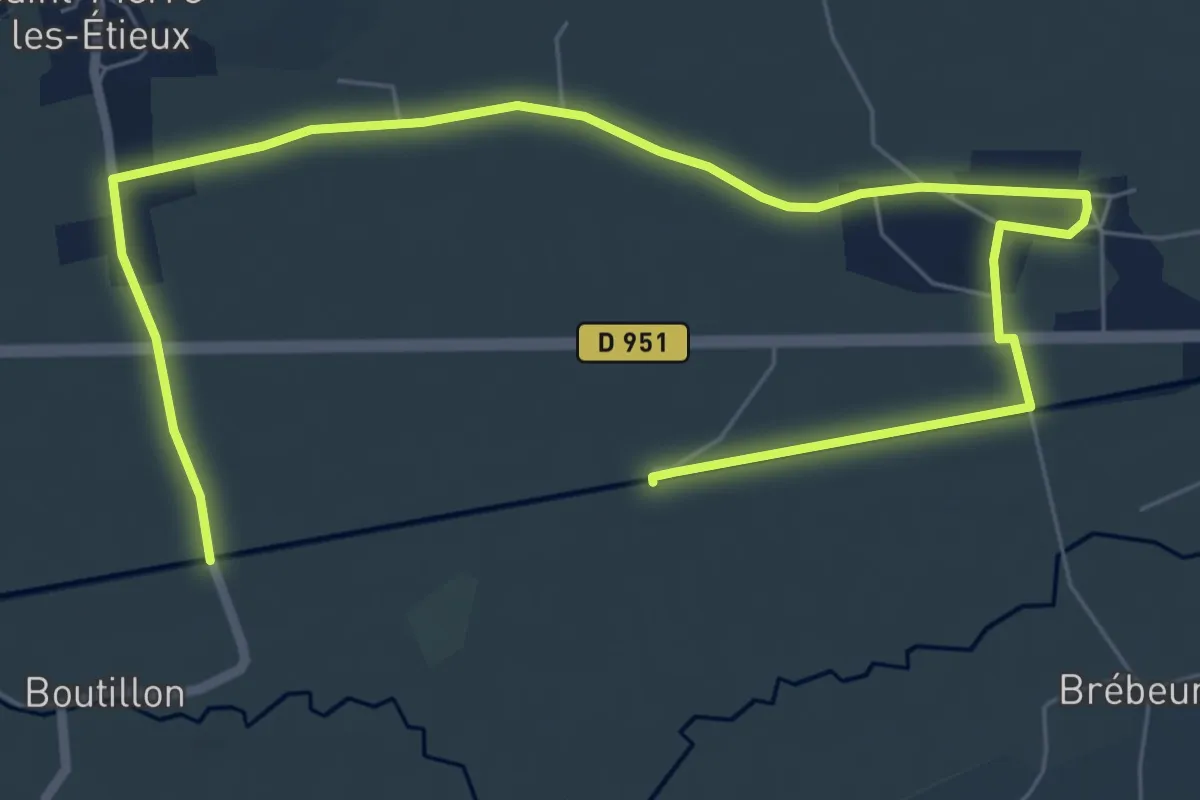
Boucle du Couvent
1.8 km · ↑ 4 m · 28 min · 7 km away
Easy · Trail
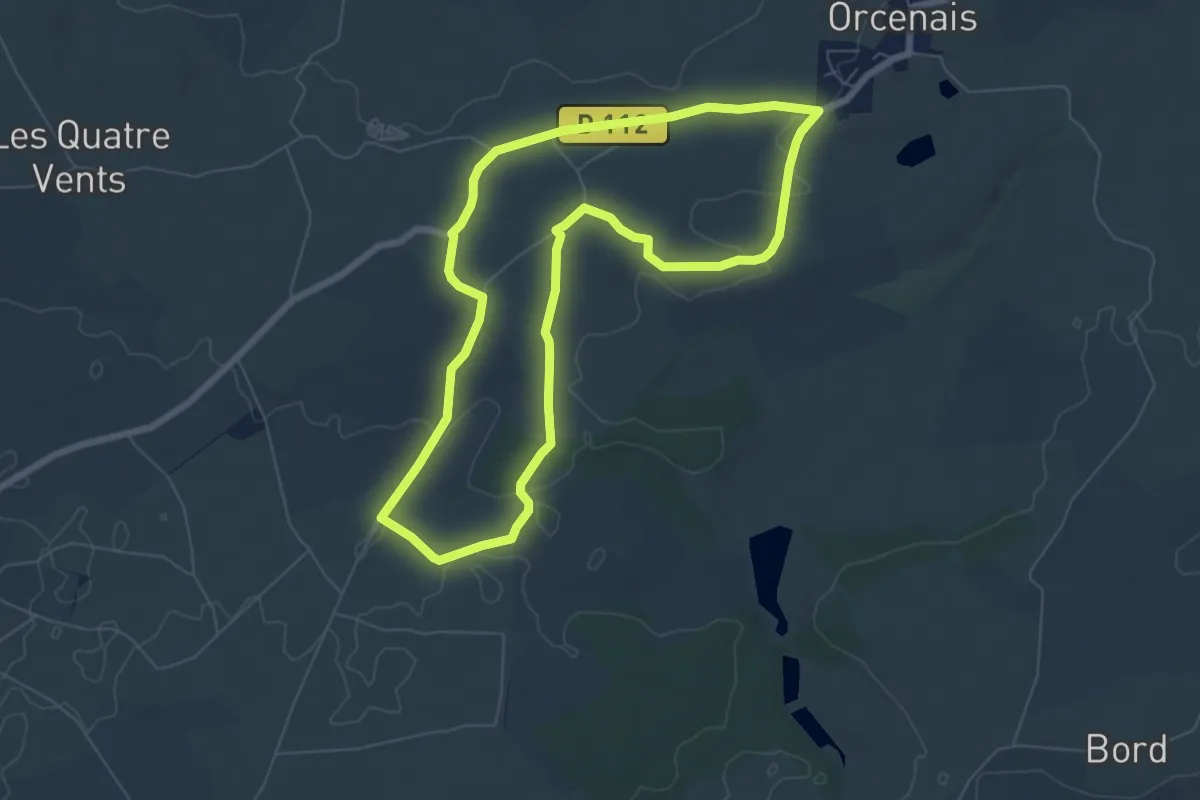
Boucle des Trois Ecluses
5.0 km · ↑ 8 m · 1 h 16 min · 7 km away
Easy · Trail
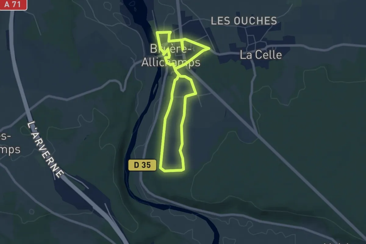
Boucle des Rois
6.7 km · ↑ 42 m · 1 h 46 min · 7 km away
Easy · Trail
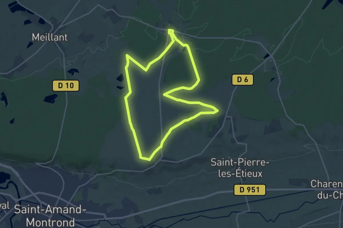
Boucle du Centre de la France
5.3 km · ↑ 70 m · 1 h 28 min · 8 km away
Medium · Trail
Grand Boucle d'Arpheuilles
15.9 km · ↑ 126 m · 4 h 14 min · 8 km away
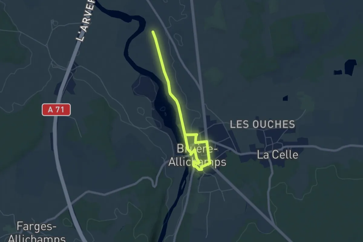
Easy · Trail
Boucle du Prieuré
4.4 km · ↑ 40 m · 1 h 12 min · 8 km away
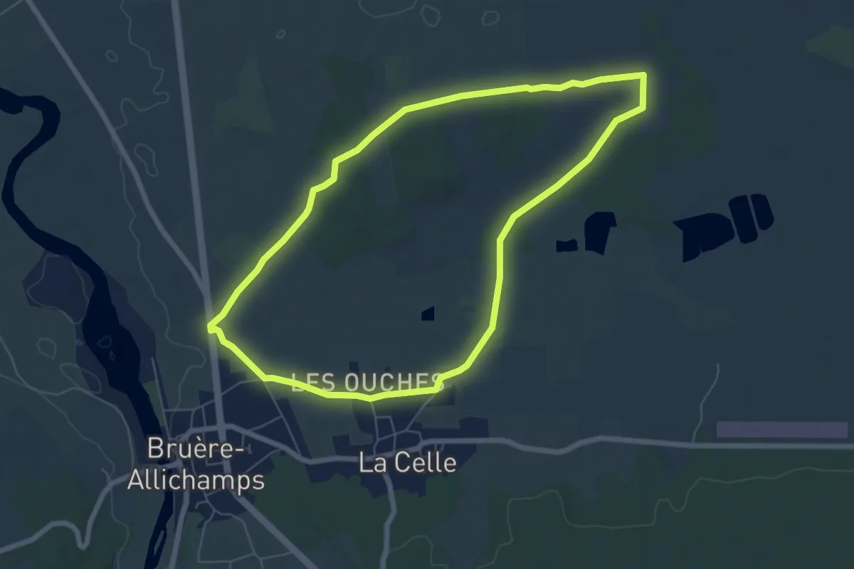
Easy · Trail
Boucle des Beugnes
6.3 km · ↑ 43 m · 1 h 39 min · 8 km away
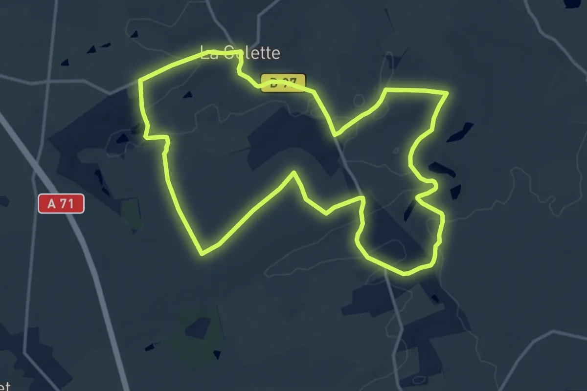
Medium · Trail
Le Croix de Pierre
11.9 km · ↑ 124 m · 3 h 14 min · 8 km away
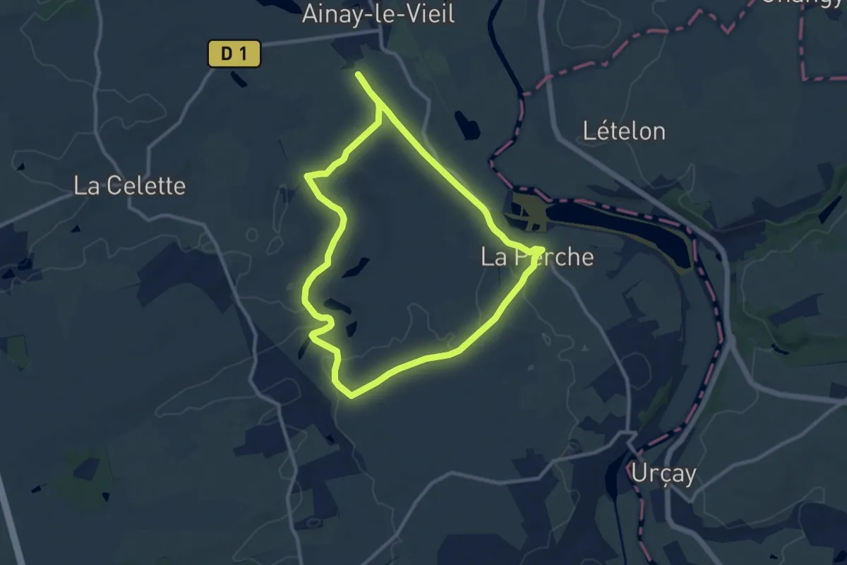
Medium · Trail
Le Petit Carcassonne
9.5 km · ↑ 74 m · 2 h 32 min · 8 km away
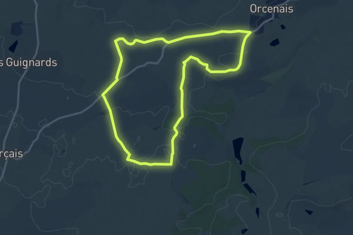
Medium · Trail
Boucle de la Greugne
8.5 km · ↑ 41 m · 2 h 13 min · 9 km away
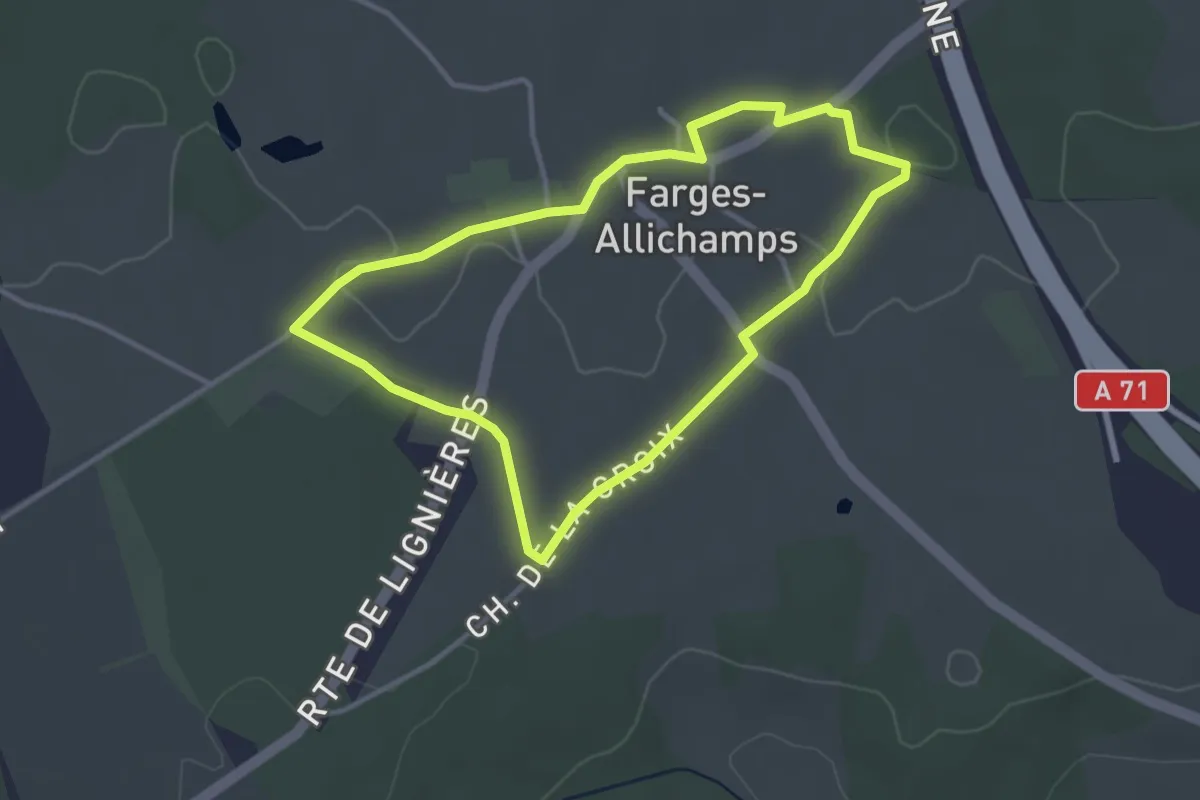
Easy · Trail
Boucle du Village
3.2 km · ↑ 21 m · 51 min · 9 km away
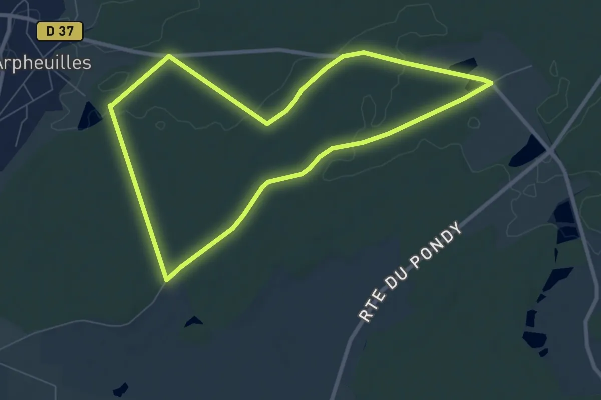
Easy · Trail
Boucle en Forêt d'Arpheuilles
6.9 km · ↑ 52 m · 1 h 51 min · 9 km away
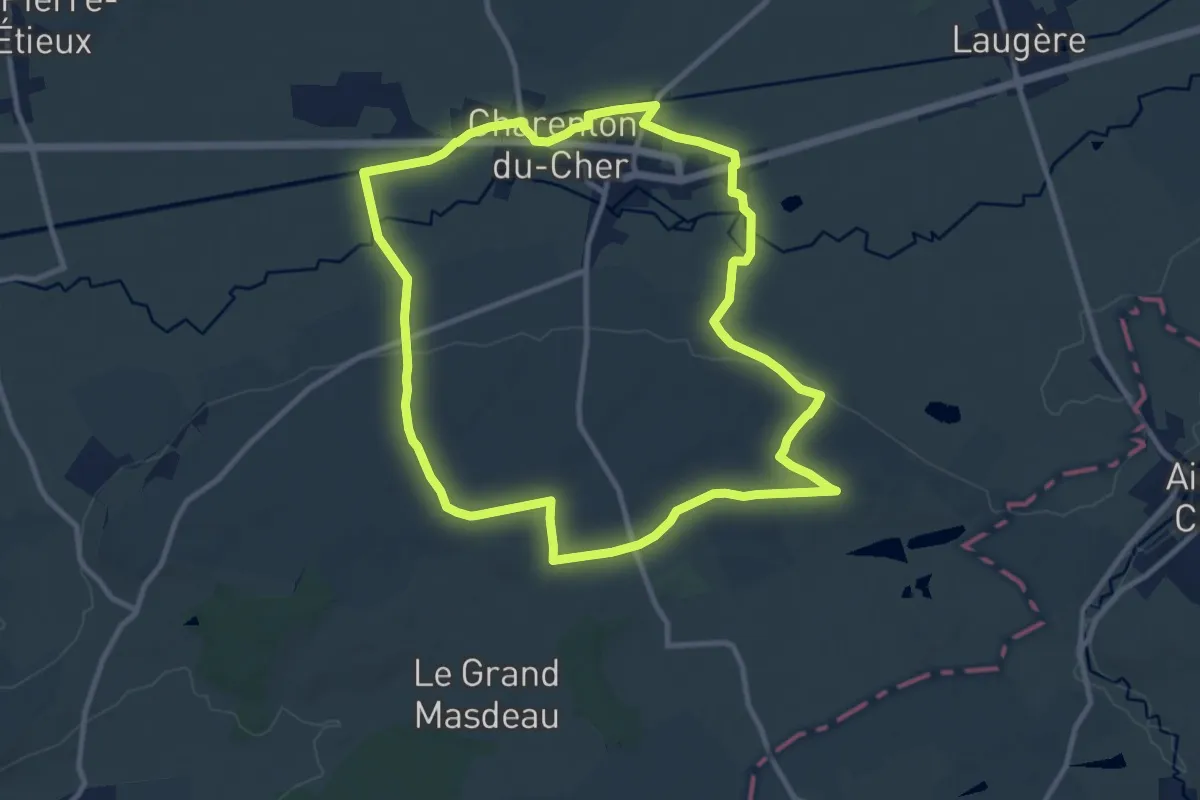
Medium · Trail
Boucle de la Marmande
10.8 km · ↑ 70 m · 2 h 52 min · 10 km away
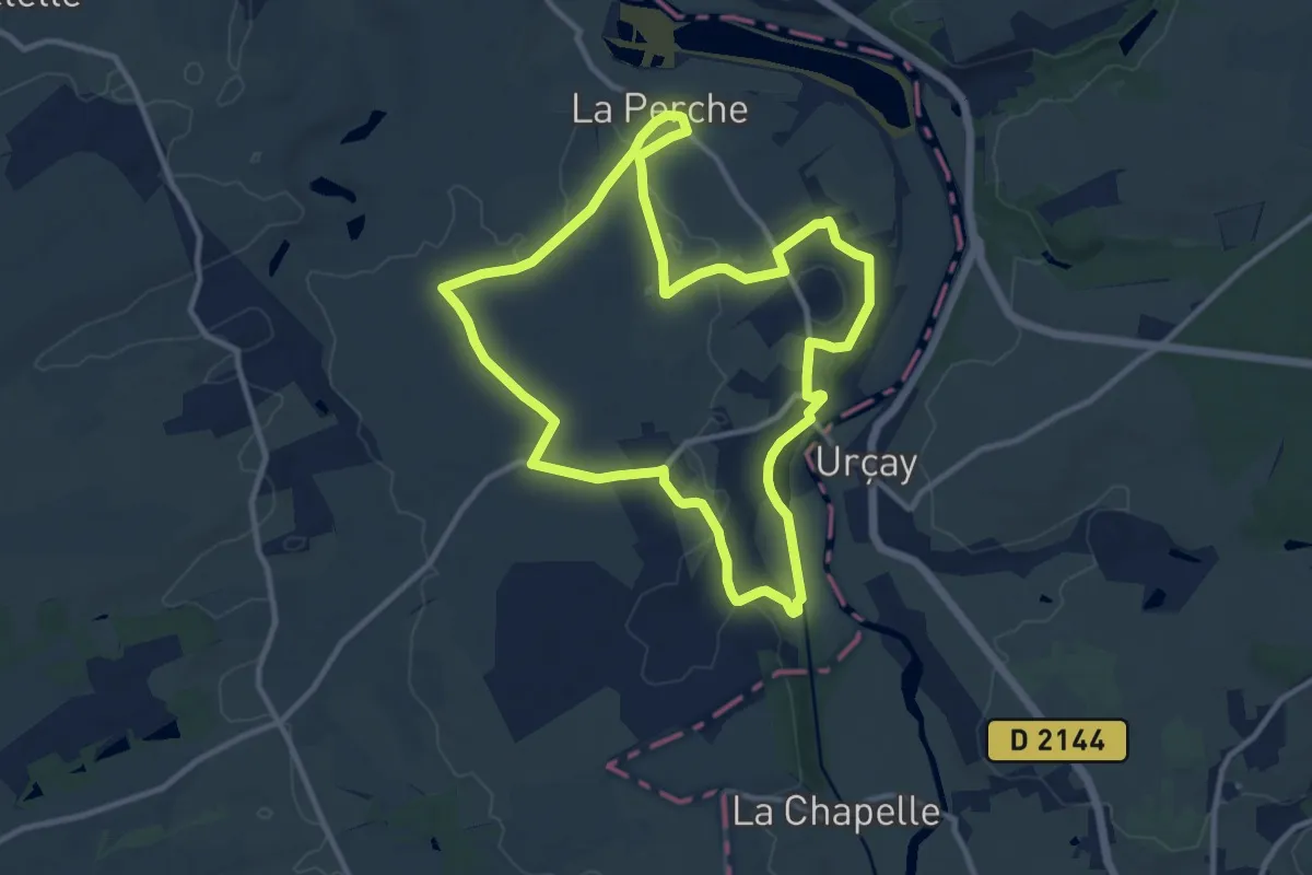
Medium · Trail
Une Balade Perchoise
11.1 km · ↑ 88 m · 2 h 58 min · 10 km away
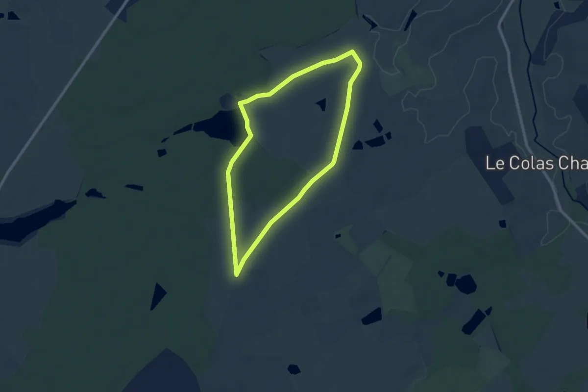
Easy · Trail
L'Étang de Bornacq
6.4 km · ↑ 31 m · 1 h 41 min · 12 km away
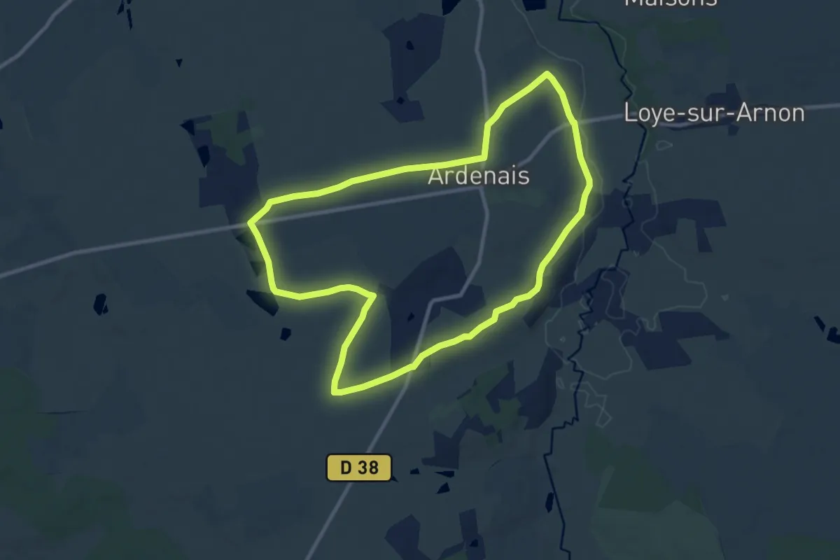
Medium · Trail
Les Etangs
9.7 km · ↑ 57 m · 2 h 32 min · 13 km away
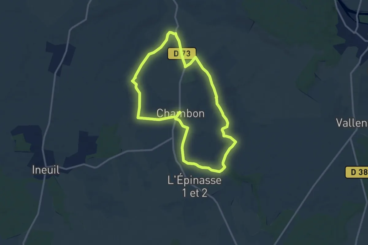
Medium · Trail
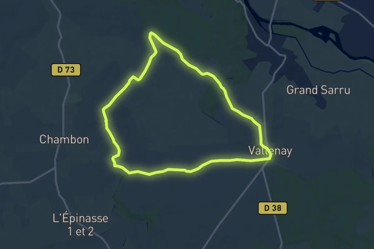
La Chambonnaise
8.9 km · ↑ 44 m · 2 h 19 min · 14 km away
Medium · Trail
Le Clos Saint-Martin
8.9 km · ↑ 51 m · 2 h 21 min · 15 km away