Trails near Saint-Gély-du-Fesc
19 hikes starting within 15 km, nearest first.
Nearest first
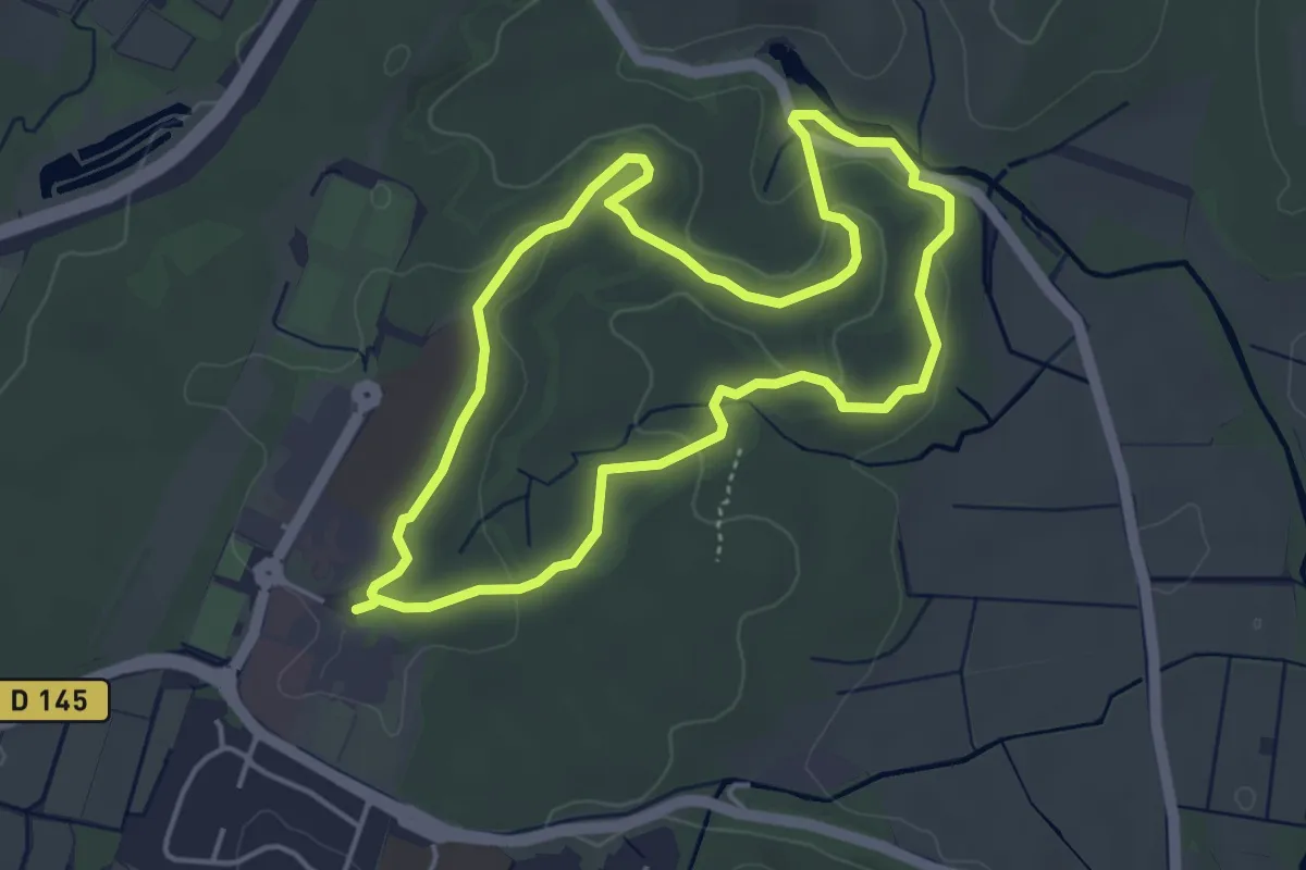
Easy · Trail
Le bois de Saint-Sauveur
4.4 km · ↑ 71 m · 1 h 15 min · 3 km away
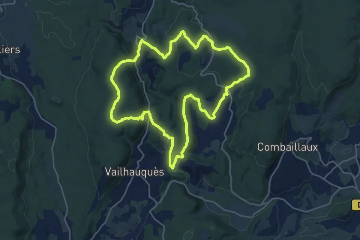
Medium · Trail
Arnède
14.6 km · ↑ 387 m · 4 h 29 min · 5 km away
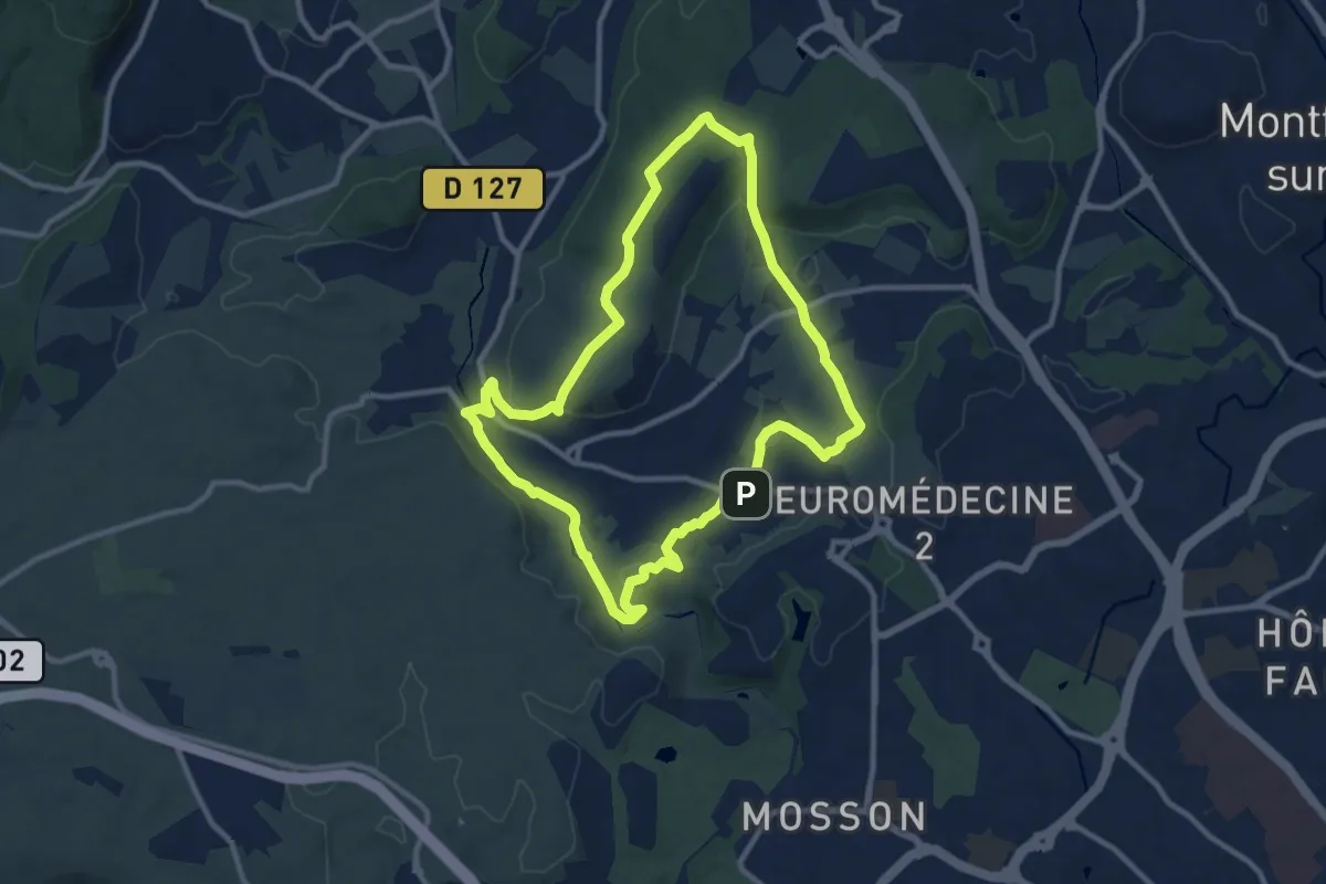
Medium · Summit
L’OASIS DES GARRIGUES
10.7 km · ↑ 184 m · 3 h 4 min · 5 km away
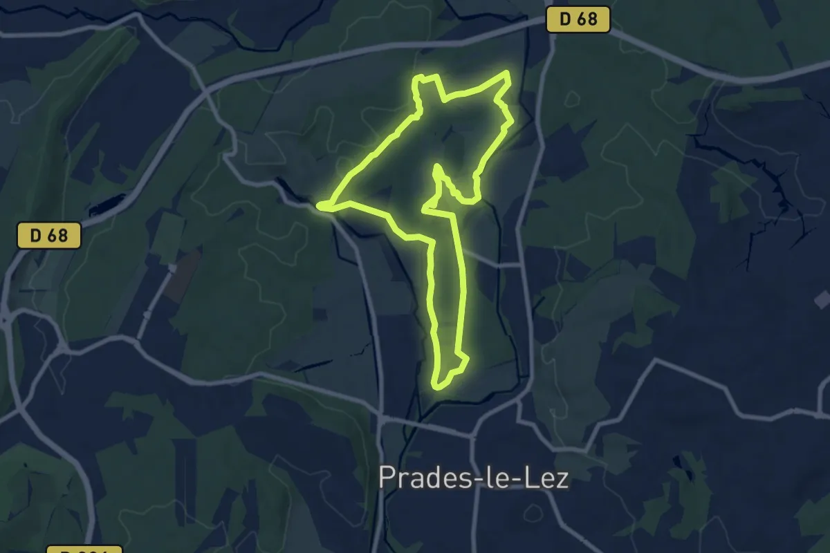
Medium · Trail
Le Château de Restinclières
8.1 km · ↑ 56 m · 2 h 9 min · 5 km away
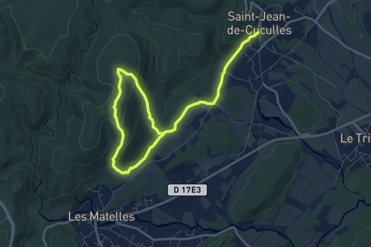
Medium · Trail
Bois de Lèque
10.8 km · ↑ 345 m · 3 h 18 min · 7 km away
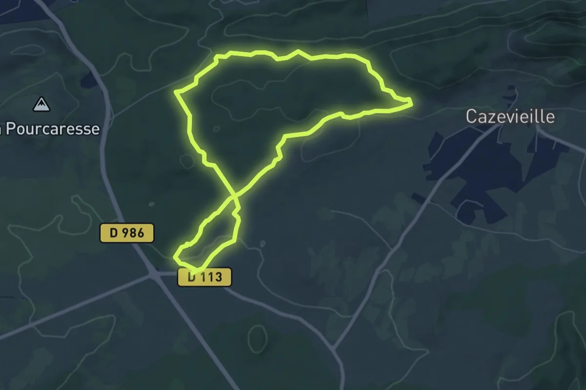
Easy · Trail
Le sentier de Sauzet
7.3 km · ↑ 112 m · 2 h 3 min · 8 km away
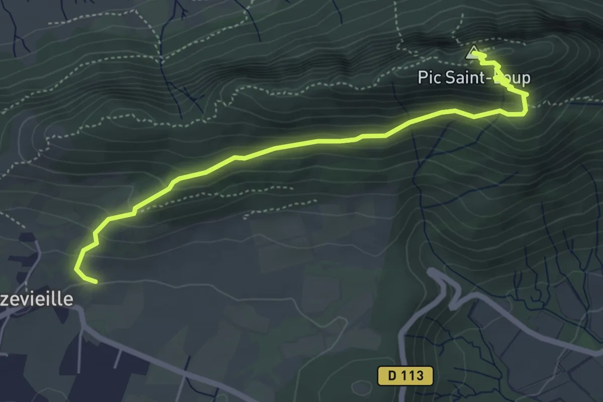
Medium · Summit
Le Pic Saint-Loup
5.4 km · ↑ 369 m · 2 h 4 min · 9 km away
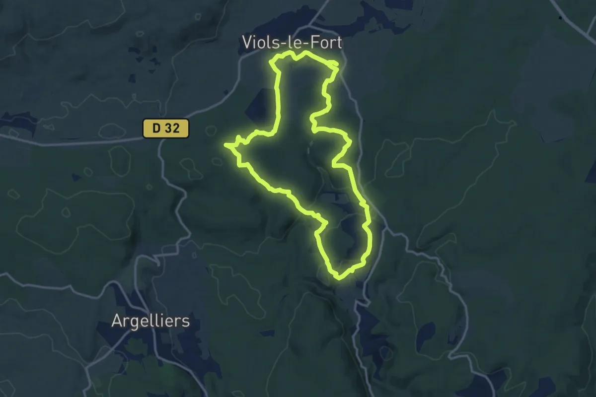
Medium · Summit
Circuit des dolmens de Viols-le-Fort à Cantagrils
13.0 km · ↑ 214 m · 3 h 43 min · 9 km away
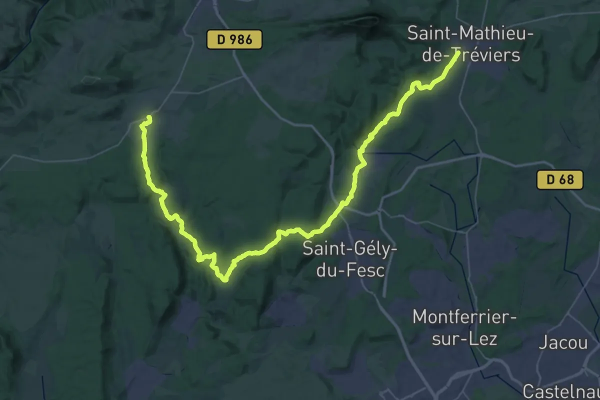
Demanding · Trail
Viols-le-Fort – Saint-Mathieu-de-Tréviers
26.1 km · ↑ 539 m · 7 h 37 min · 9 km away
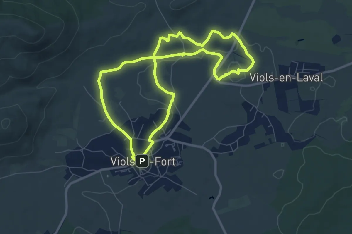
Easy · Trail
Randonnée des Drailles
7.2 km · ↑ 58 m · 1 h 55 min · 10 km away
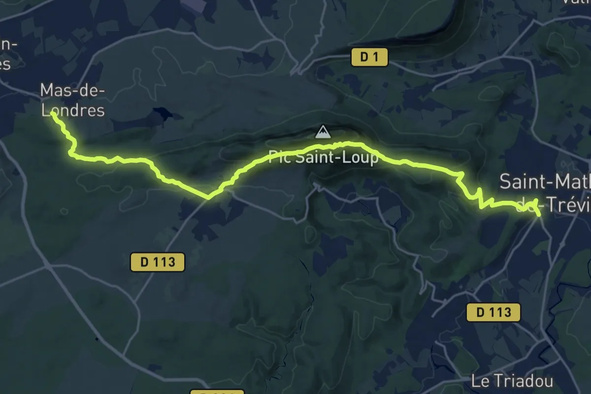
Demanding · Trail
Saint-Mathieu-de-Tréviers – Mas-de-Londres
22.6 km · ↑ 914 m · 7 h 19 min · 11 km away
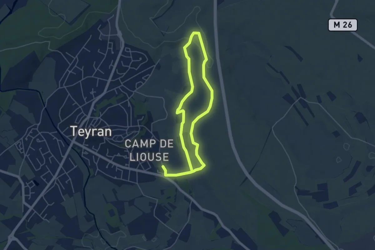
Medium · Trail
La Fontanaride
8.6 km · ↑ 87 m · 2 h 14 min · 11 km away
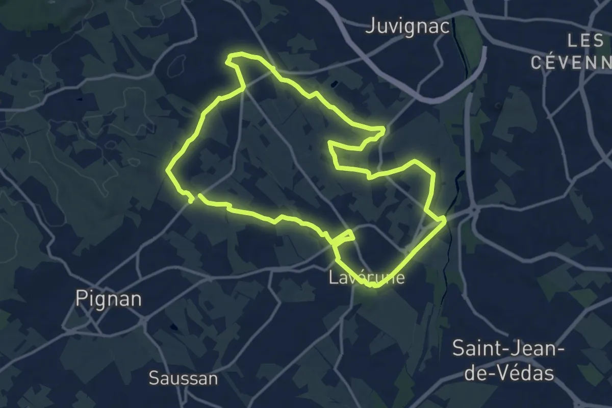
Medium · Trail
Le sentier du dragon
13.2 km · ↑ 78 m · 3 h 28 min · 11 km away
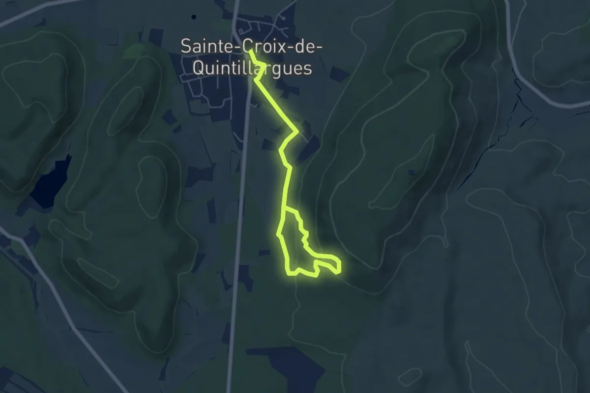
Easy · Trail
Sentier des Charbonniers
6.8 km · ↑ 207 m · 2 h 3 min · 12 km away
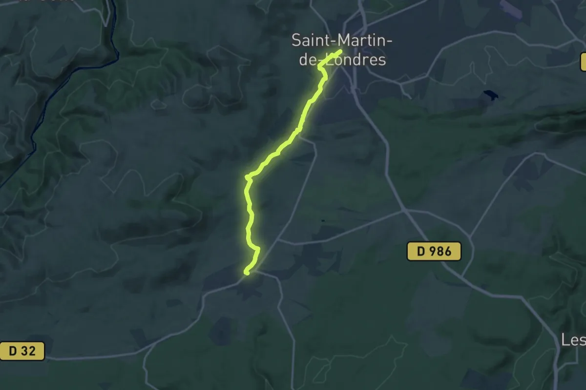
Medium · Trail
Saint-Martin-de-Londres – Viols-le-Fort
13.5 km · ↑ 187 m · 3 h 36 min · 12 km away
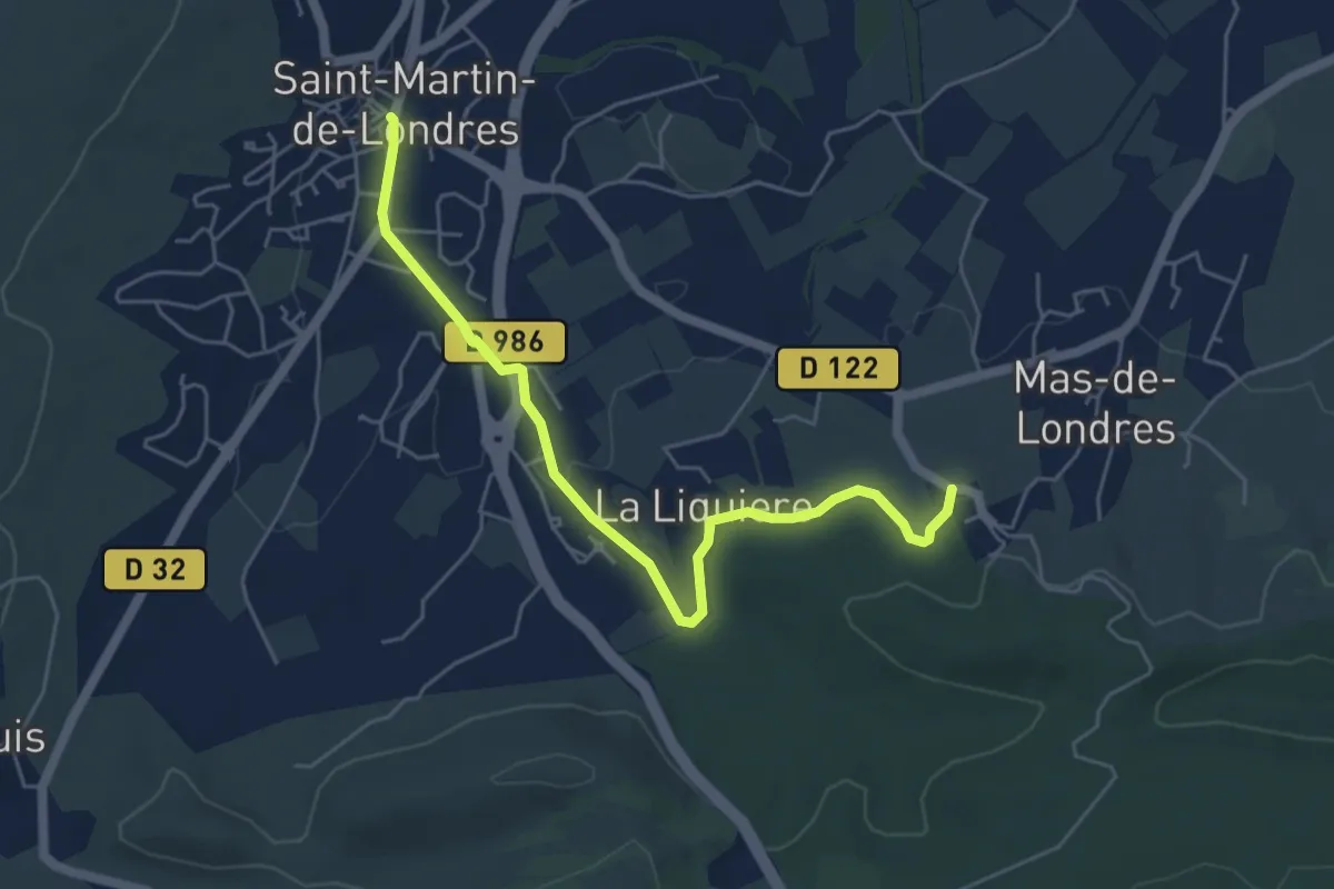
Easy · Trail
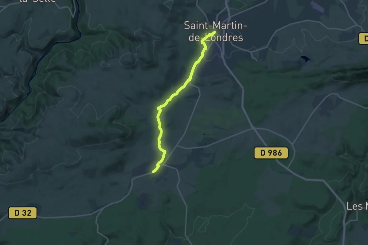
Saint-Martin-de-Londres – Mas-de-Londres
5.8 km · ↑ 48 m · 1 h 28 min · 12 km away
Medium · Trail
Saint-Martin-de-Londres – Viols-le-Fort
14.1 km · ↑ 214 m · 3 h 48 min · 12 km away
Demanding · Trail
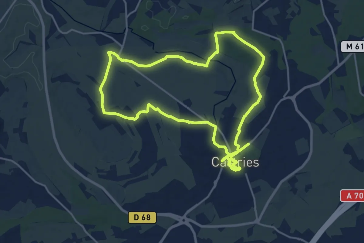
Aqueduc de Castries
23.7 km · ↑ 136 m · 5 h 53 min · 15 km away
Medium · Trail
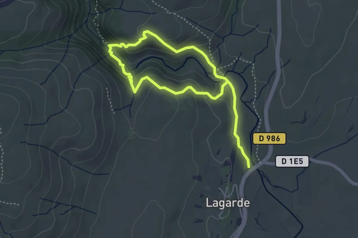
Le Ravin des Arcs
6.2 km · ↑ 331 m · 2 h 11 min · 15 km away