Trails near Saint-Pons-de-Thomières
28 hikes starting within 15 km, nearest first.
Nearest first
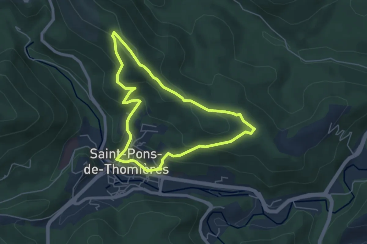
Easy · Trail
Palombières
4.4 km · ↑ 179 m · 1 h 29 min · under 1 km away
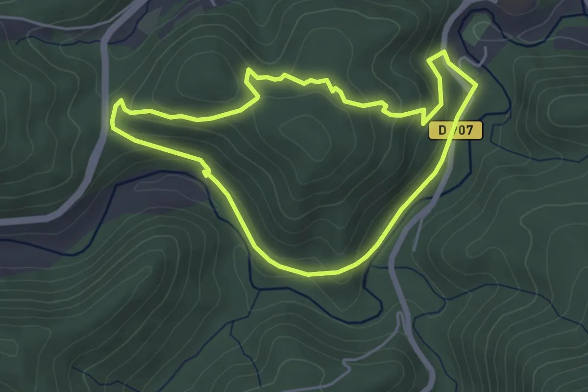
Easy · Trail
Artenac
4.2 km · ↑ 141 m · 1 h 22 min · 1 km away
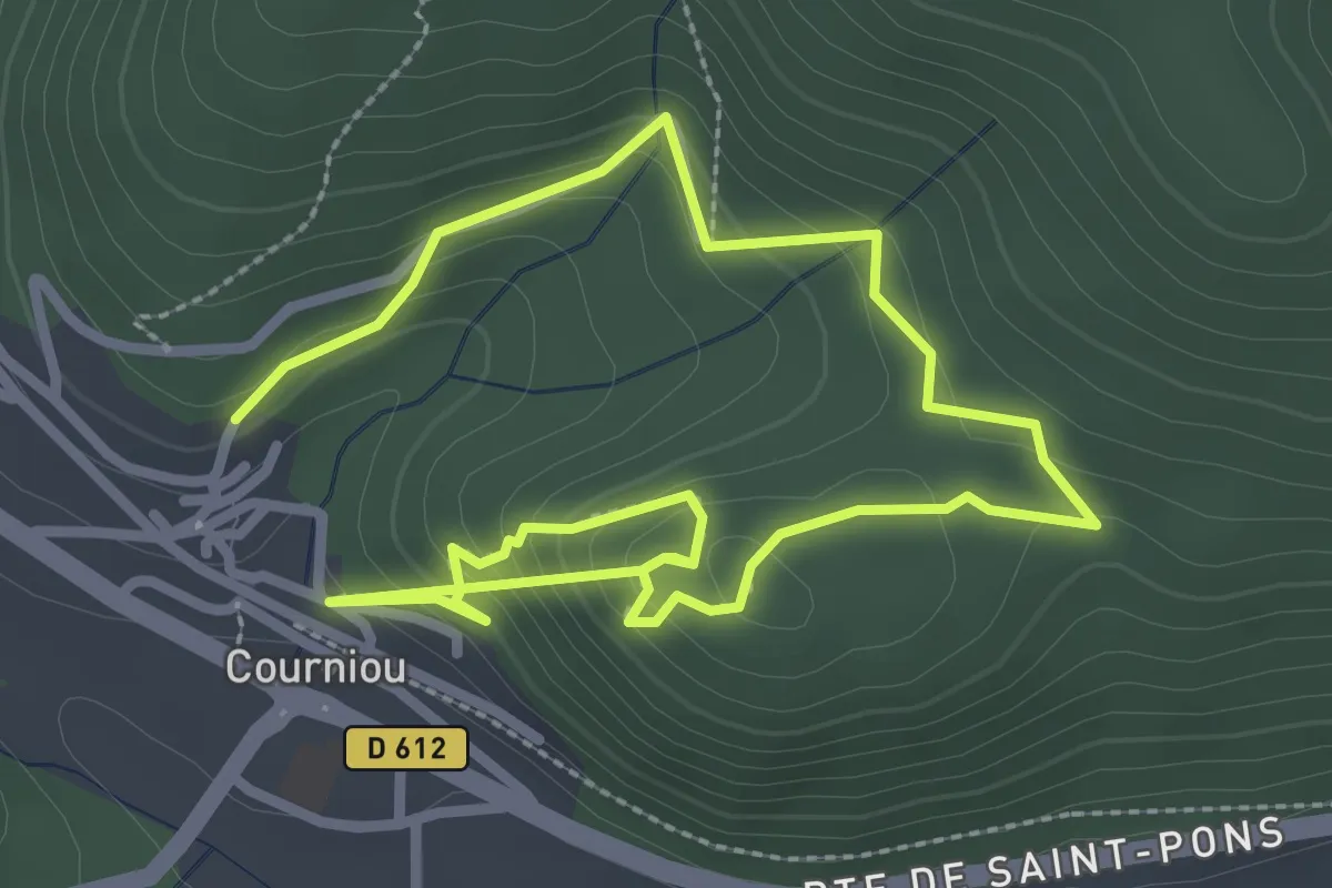
Easy · Trail
Les Capitelles
5.1 km · ↑ 314 m · 1 h 53 min · 4 km away
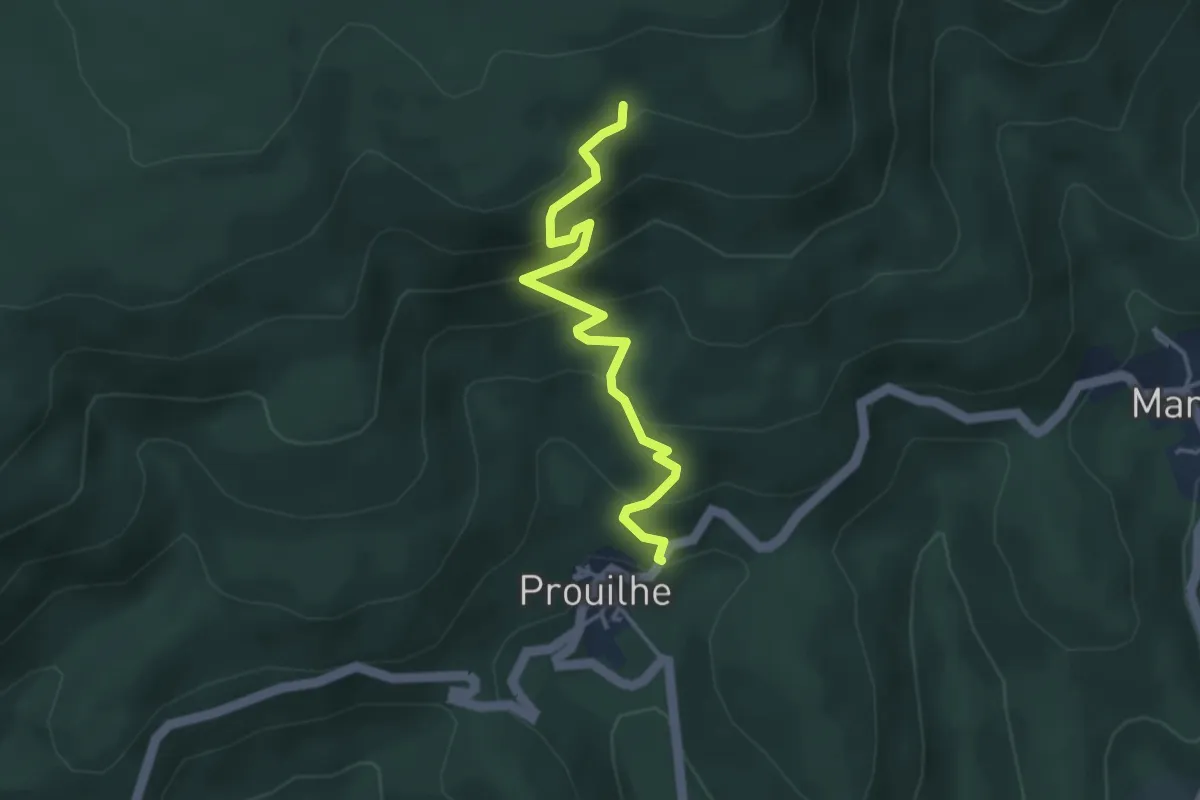
Easy · Trail
Lo Camin Nòstre
3.9 km · ↑ 306 m · 1 h 35 min · 5 km away
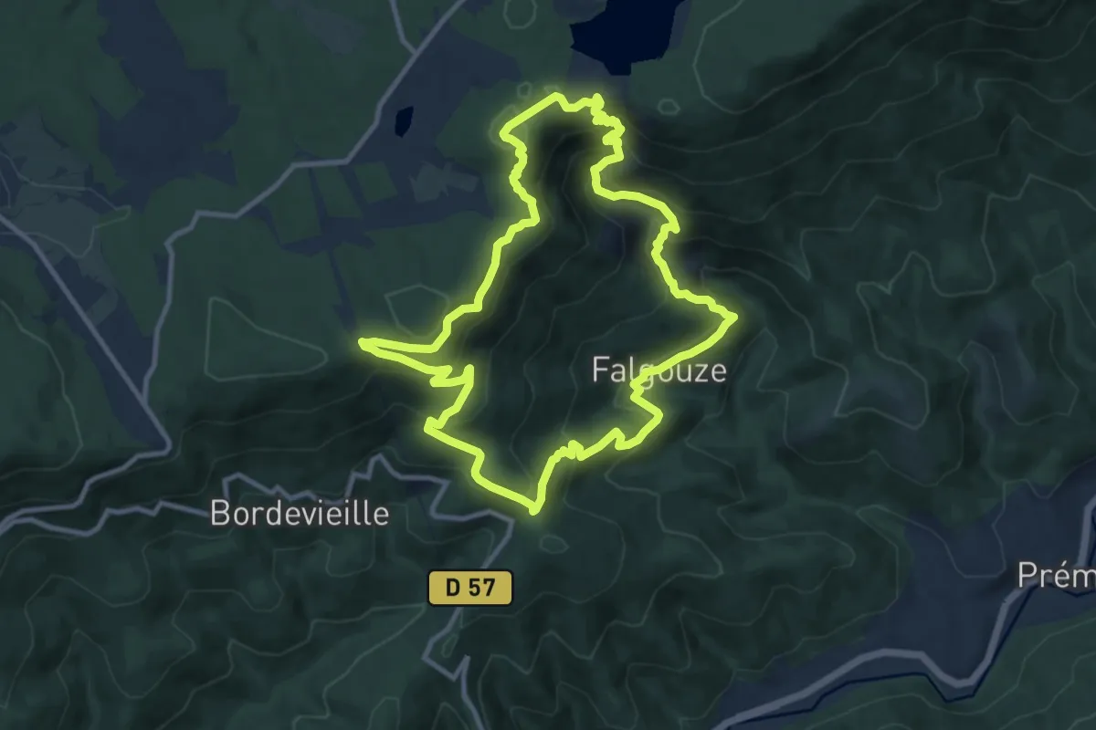
Demanding · Trail
Le Chemin des Légendes
11.1 km · ↑ 625 m · 4 h 8 min · 6 km away
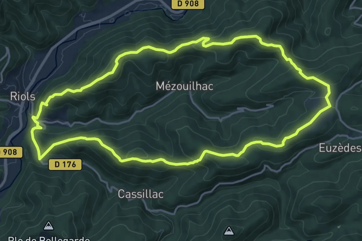
Medium · Trail
Notre-Dame de Tredos
12.1 km · ↑ 510 m · 4 h 8 min · 7 km away
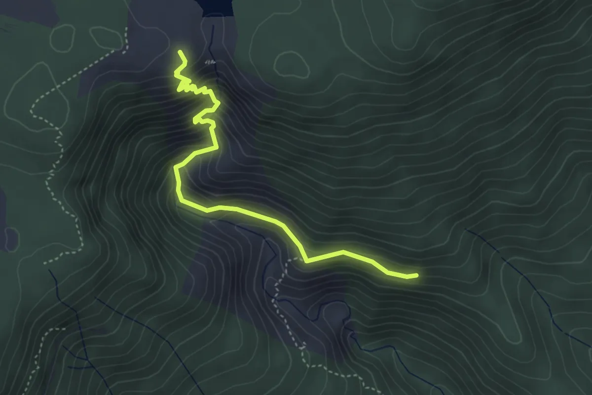
Demanding · Trail
Sentier des gardes
4.5 km · ↑ 412 m · 1 h 58 min · 7 km away
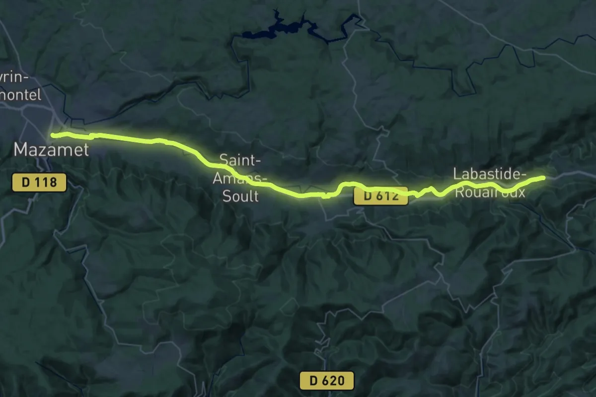
Demanding · Trail
Voie Verte Passa Païs
25.8 km · ↑ 73 m · 6 h 43 min · 7 km away
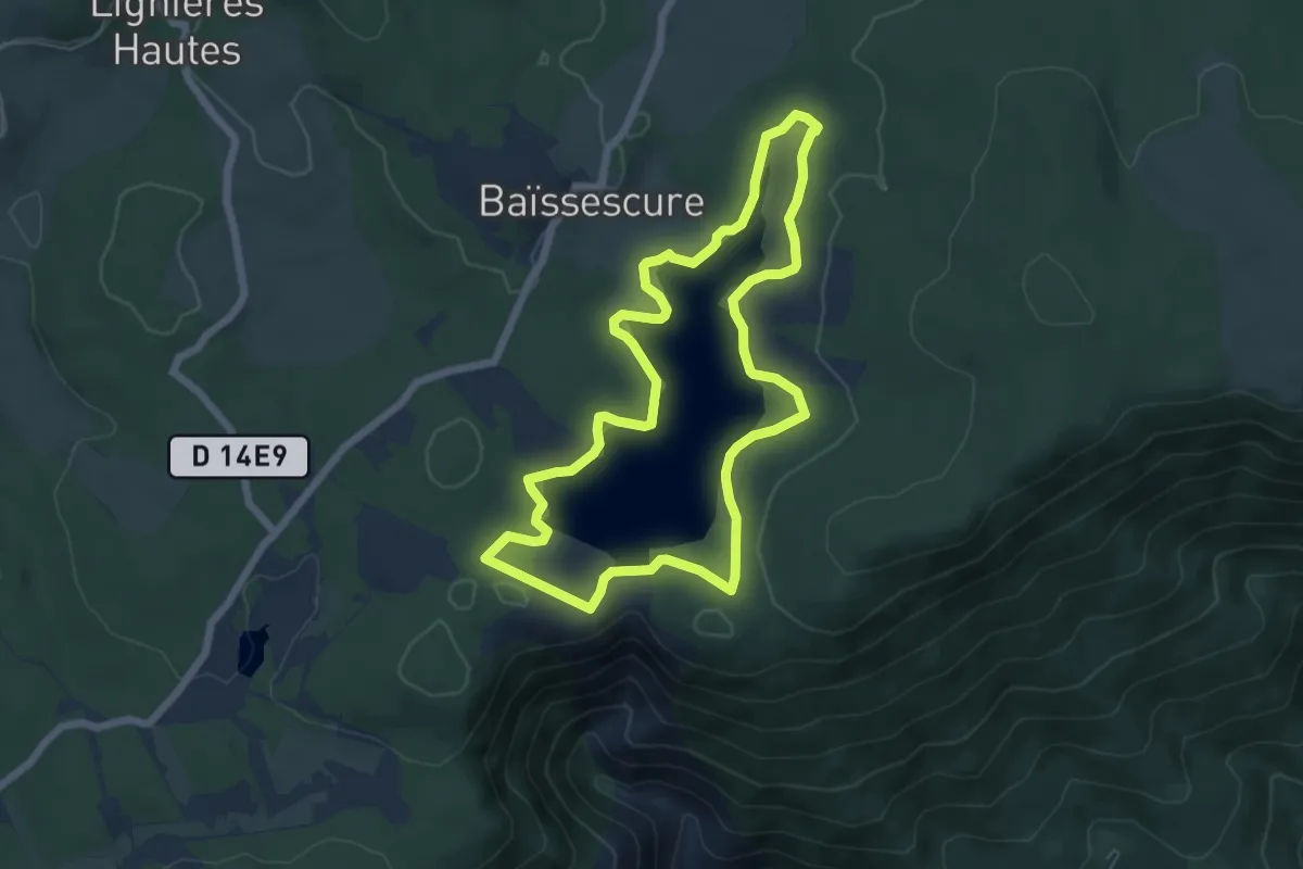
Easy · Trail
Le Tour Du Lac De Vesoles
6.3 km · ↑ 127 m · 1 h 52 min · 7 km away
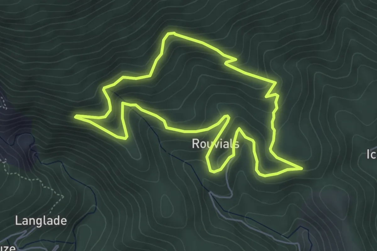
Easy · Trail
Chemin de la mémoire
5.5 km · ↑ 310 m · 2 h 3 min · 8 km away
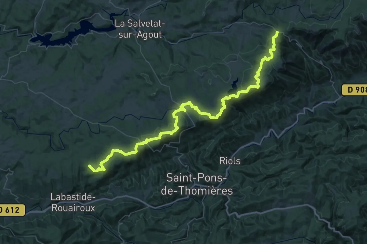
Demanding · Trail
Des Vosges aux Pyrénées 07, Col de Fontfroide - Labastide
29.0 km · ↑ 703 m · 8 h 43 min · 9 km away
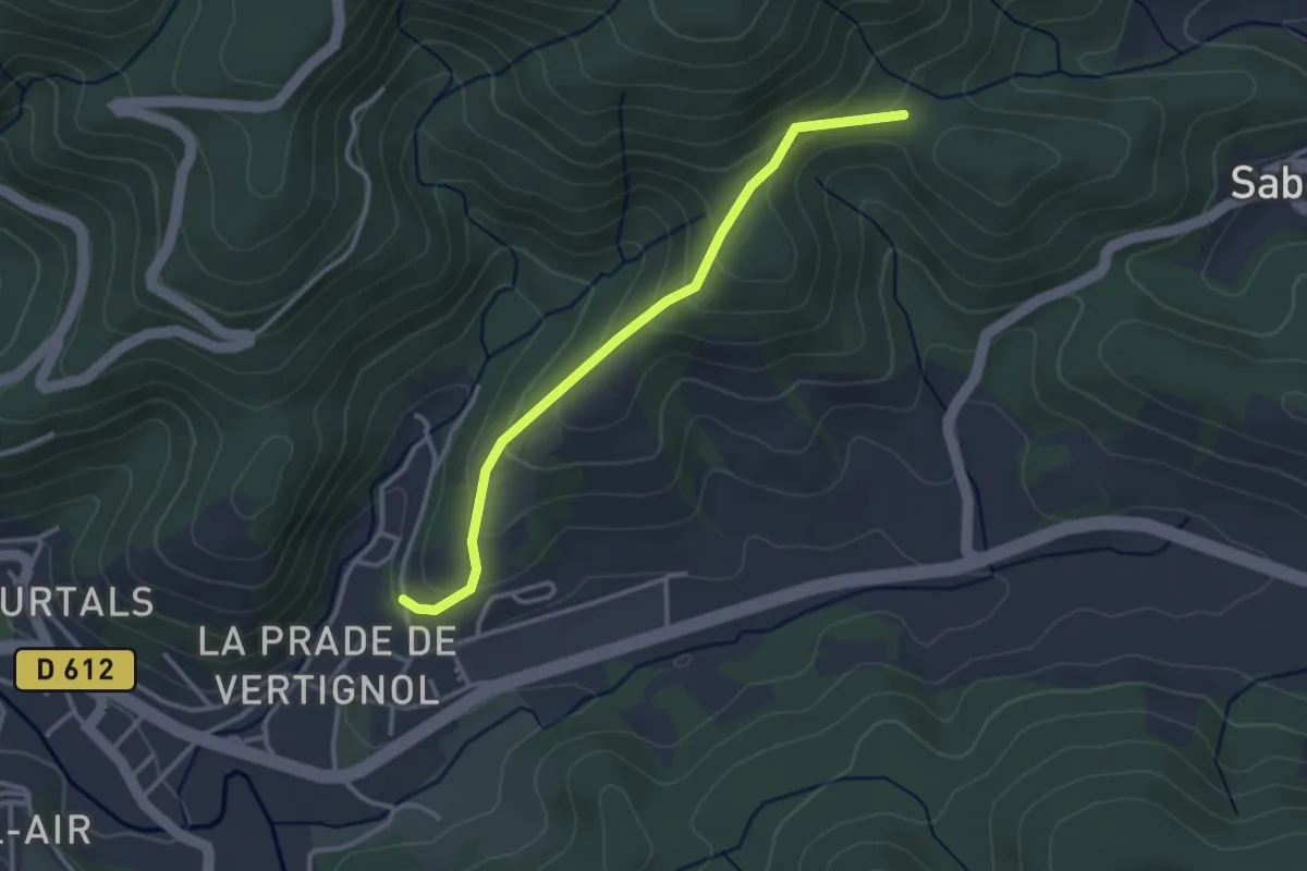
Easy · Trail
PR
3.2 km · ↑ 190 m · 1 h 10 min · 9 km away
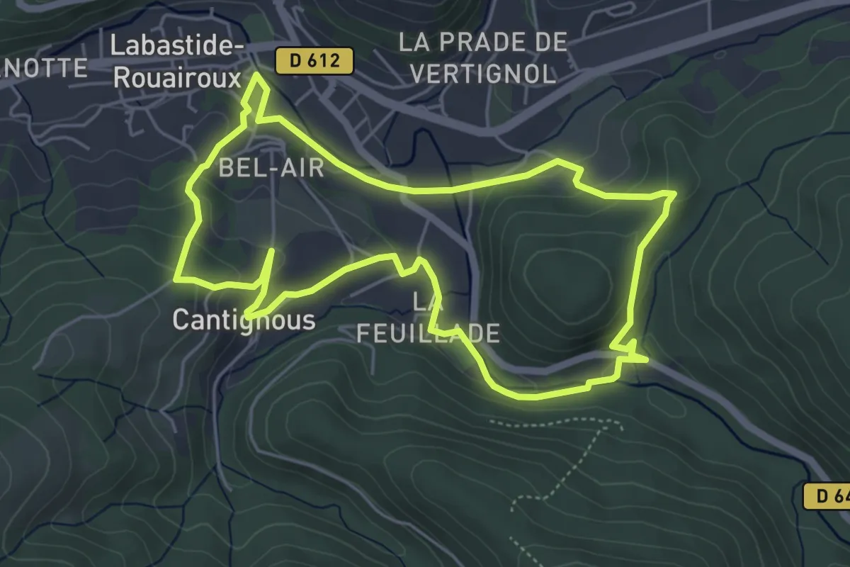
Easy · Trail
Sentier les Cayrans
5.4 km · ↑ 202 m · 1 h 47 min · 9 km away
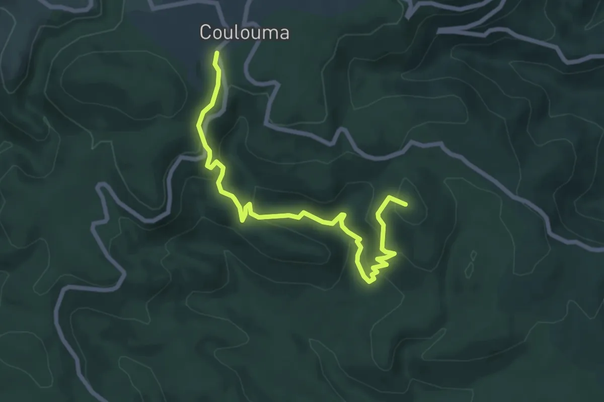
Medium · Summit
Sentier de découverte
7.1 km · ↑ 325 m · 2 h 23 min · 10 km away
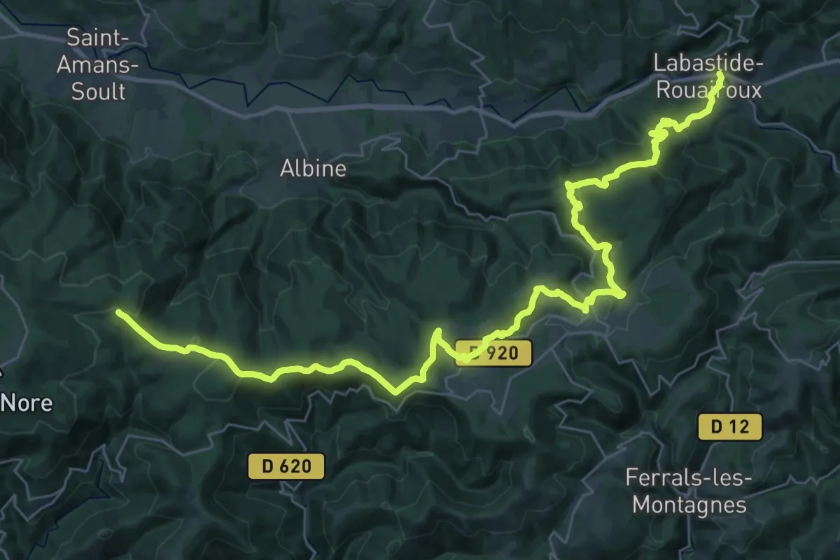
Demanding · Trail
Des Vosges aux Pyrénées 08, Labastide - Portail de Nore
21.9 km · ↑ 900 m · 7 h 8 min · 10 km away
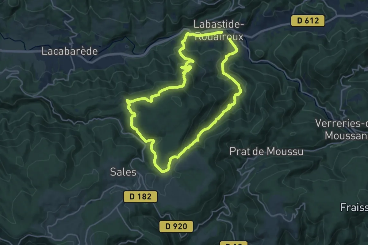
Medium · Trail
La forêt de Beson
14.7 km · ↑ 595 m · 4 h 58 min · 10 km away
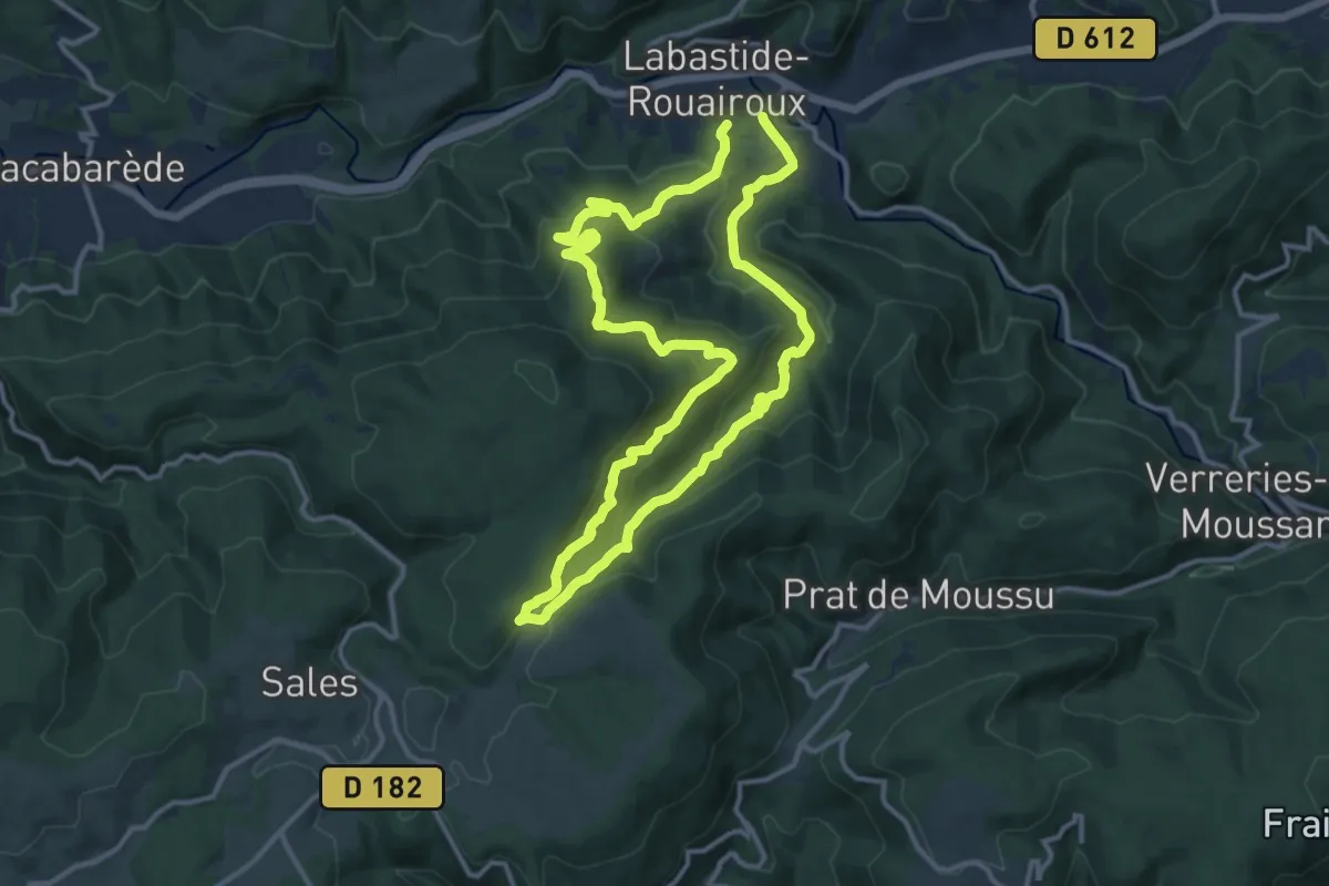
Medium · Trail
Sentier des Maîtres Verriers
12.5 km · ↑ 596 m · 4 h 26 min · 10 km away
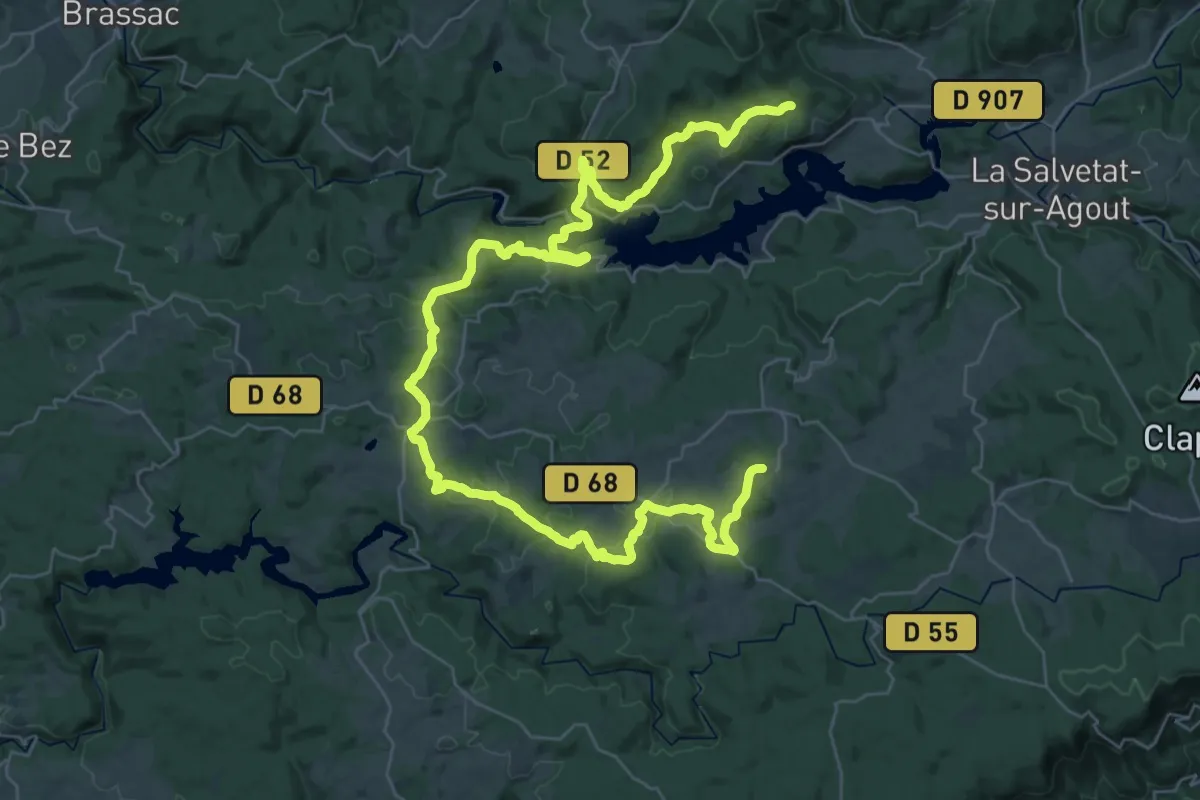
Demanding · Trail
Boucle du lac de la Raviège
26.0 km · ↑ 555 m · 7 h 45 min · 12 km away
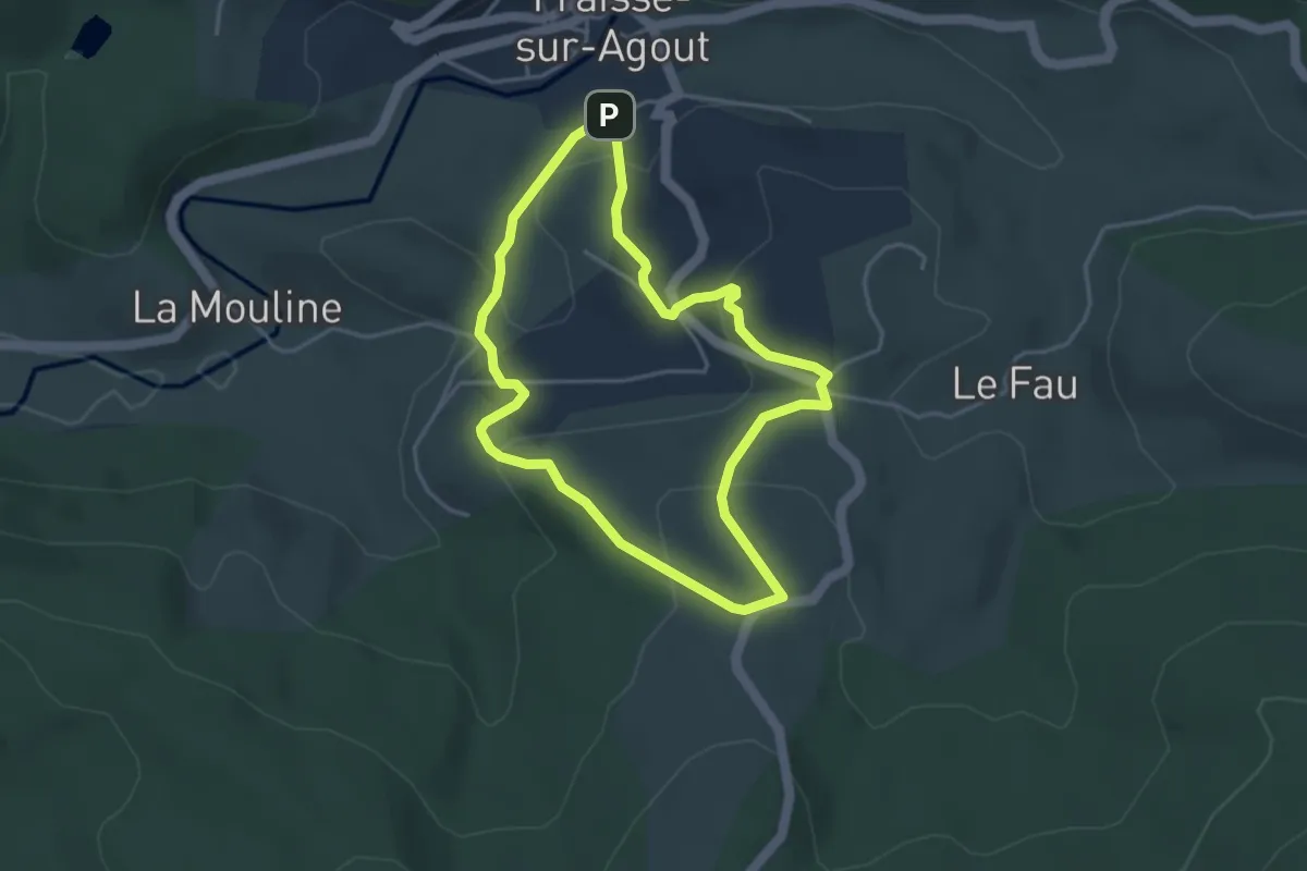
Easy · Trail
Sentier Prévert
3.9 km · ↑ 137 m · 1 h 16 min · 13 km away
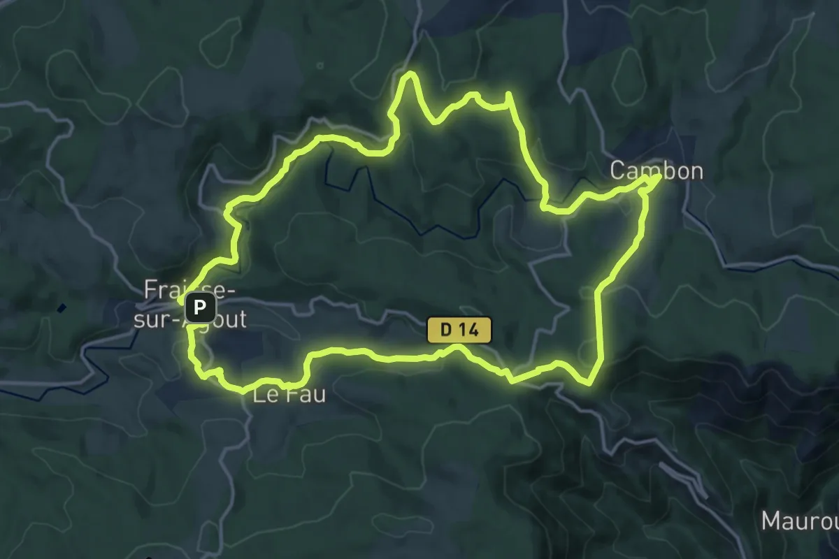
Medium · Trail
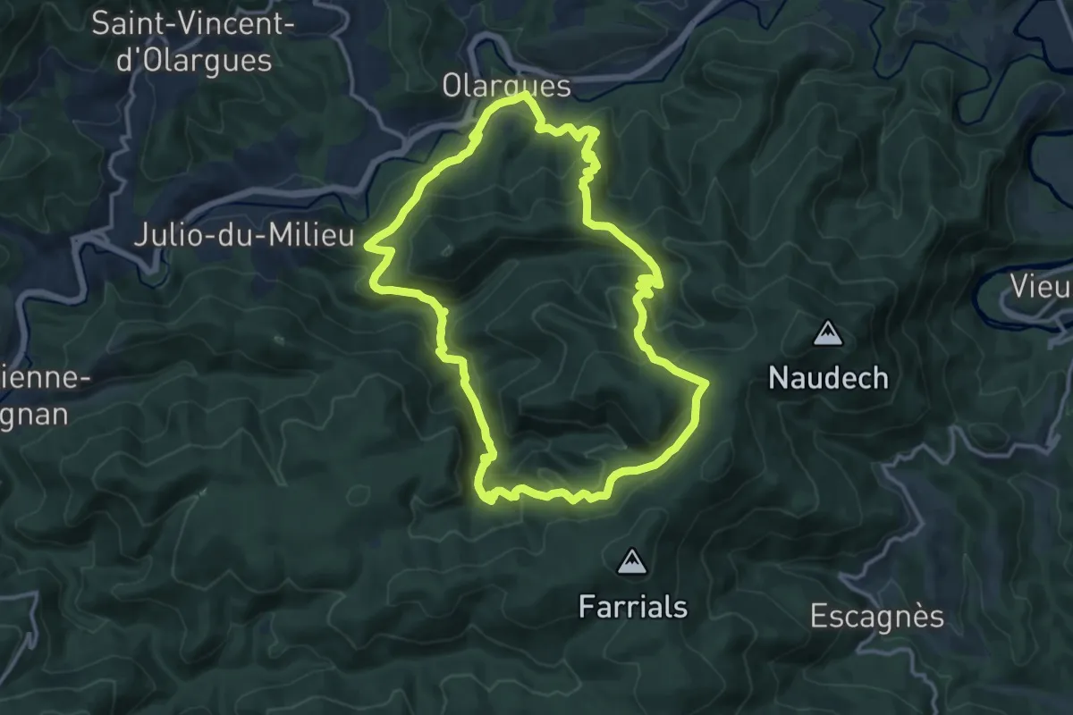
Haute Vallée de l'Agout
16.9 km · ↑ 478 m · 5 h 16 min · 13 km away
Medium · Trail
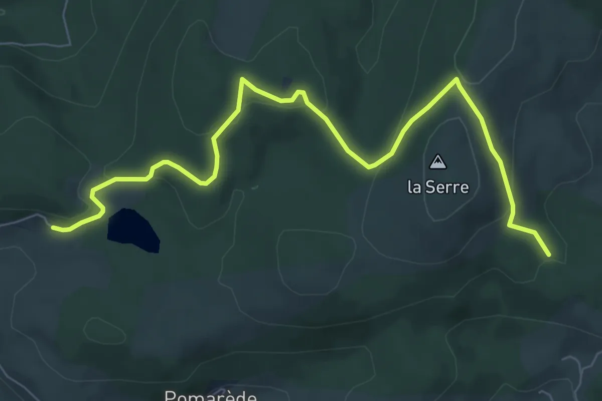
De Malvies
13.2 km · ↑ 641 m · 4 h 42 min · 13 km away
Medium · Trail
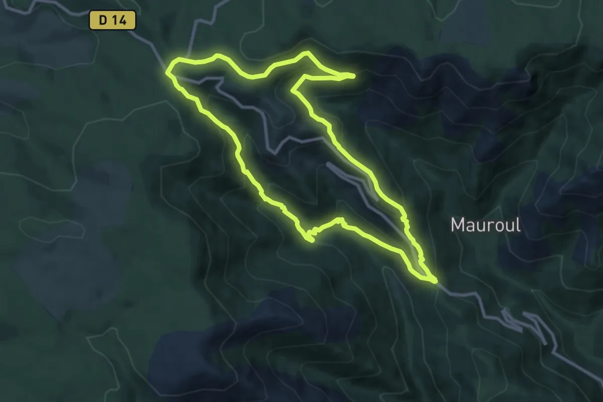
Boucle du Somail
8.4 km · ↑ 237 m · 2 h 29 min · 14 km away
Medium · Trail
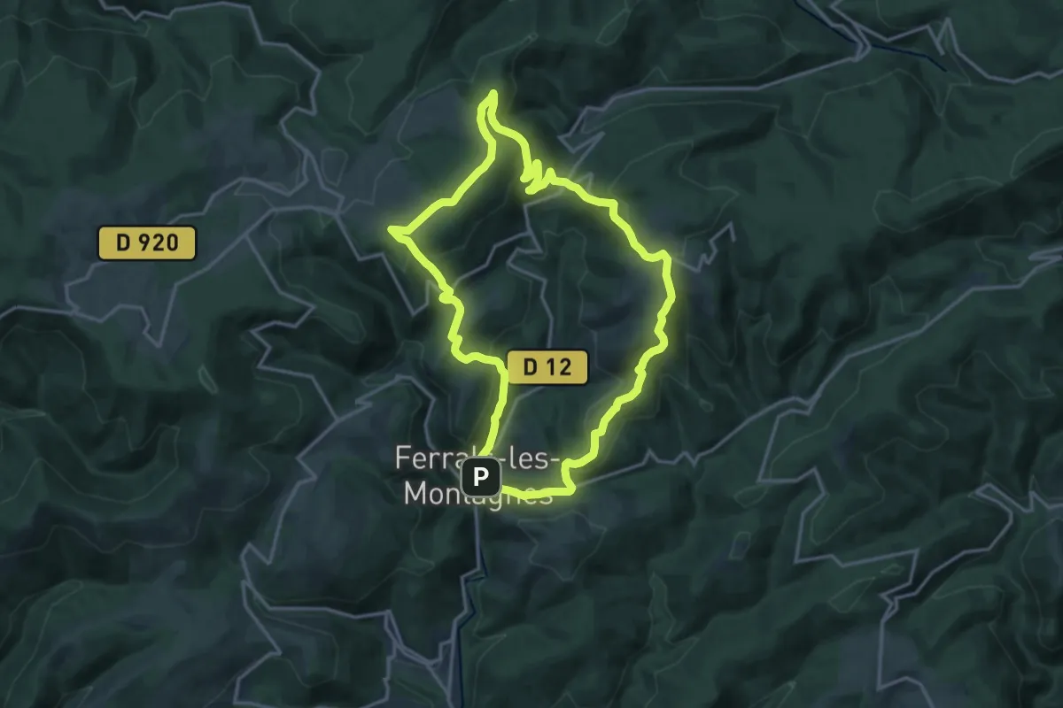
Sentier de Coustorgues
9.1 km · ↑ 448 m · 3 h 15 min · 14 km away
Medium · Trail
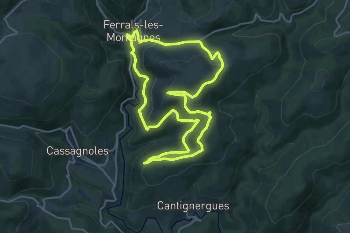
Les Hauts de Ferrals
15.3 km · ↑ 581 m · 5 h 5 min · 14 km away
Medium · Trail
Le Bois des Gardes
10.2 km · ↑ 411 m · 3 h 27 min · 14 km away
Easy · Trail
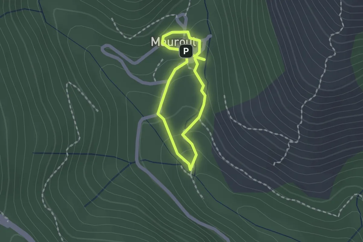
Cascades de Mauroul
1.1 km · ↑ 50 m · 23 min · 14 km away
Easy · Trail
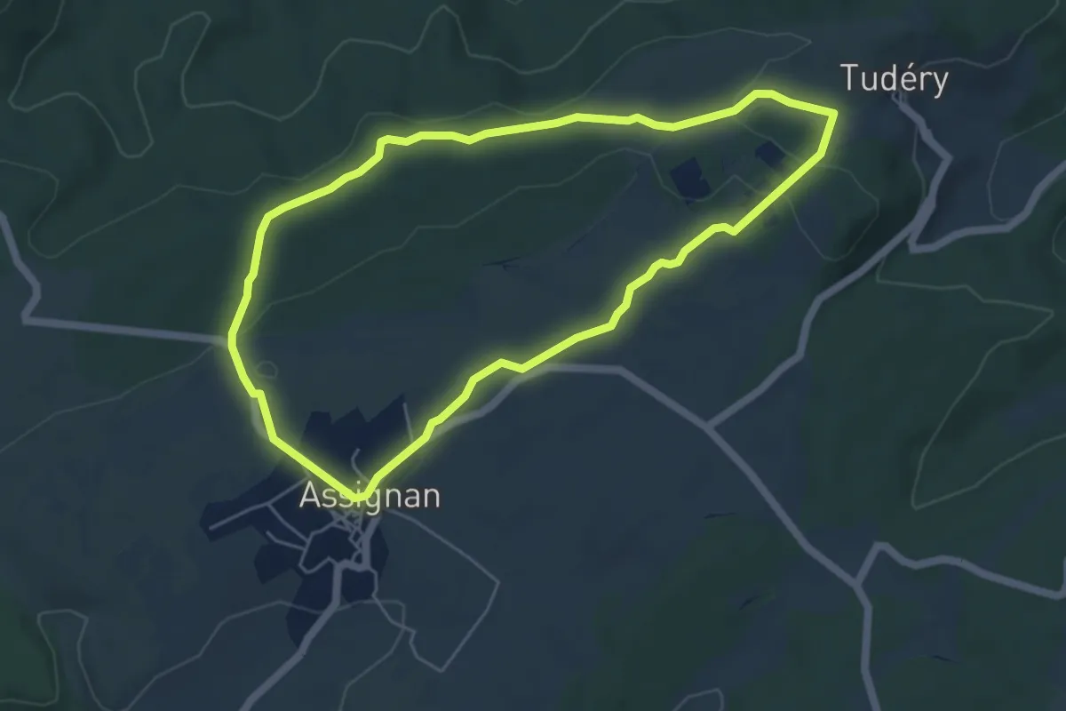
Assignan Les Barralets
5.3 km · ↑ 74 m · 1 h 29 min · 15 km away
Medium · Trail
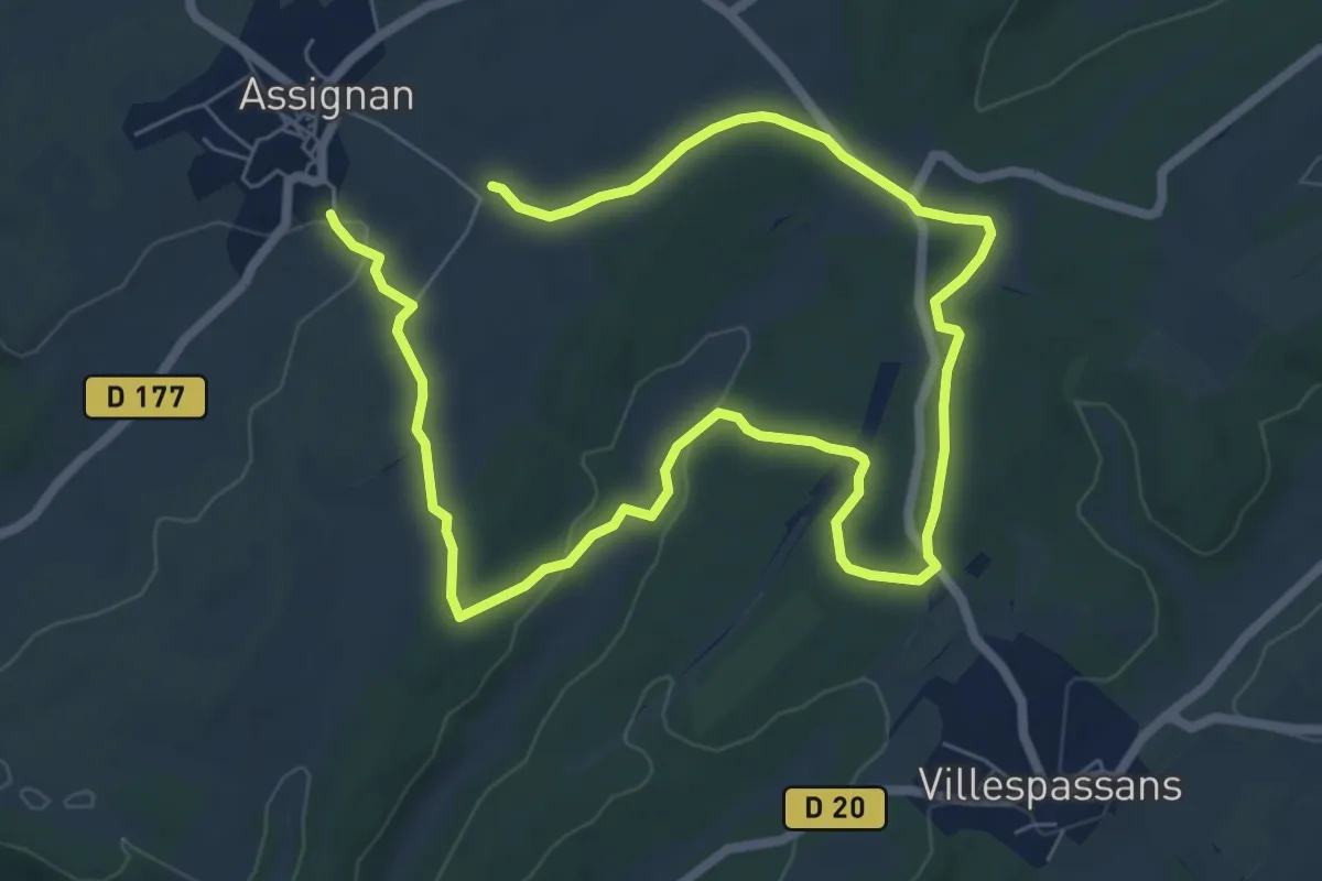
Assignan Les Bousigues
11.9 km · ↑ 145 m · 3 h 7 min · 15 km away