Trails near Sarlat-la-Canéda
25 hikes starting within 15 km, nearest first.
Nearest first
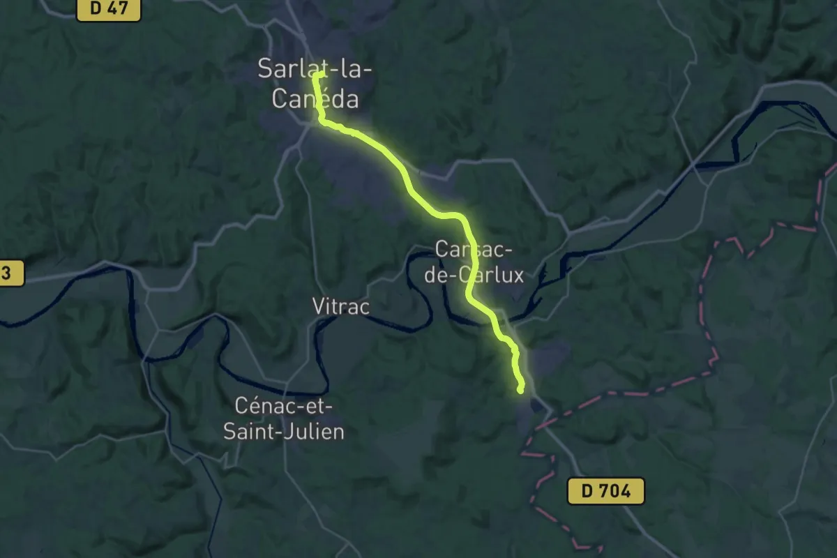
Demanding · Trail
Jonction Grolejac - Sarlat • Chemin d'Amadour
26.0 km · ↑ 326 m · 6 h 50 min · under 1 km away
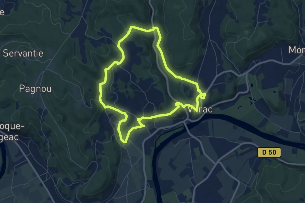
Easy · Trail
Boucle de Marobert
7.2 km · ↑ 173 m · 2 h 10 min · 6 km away
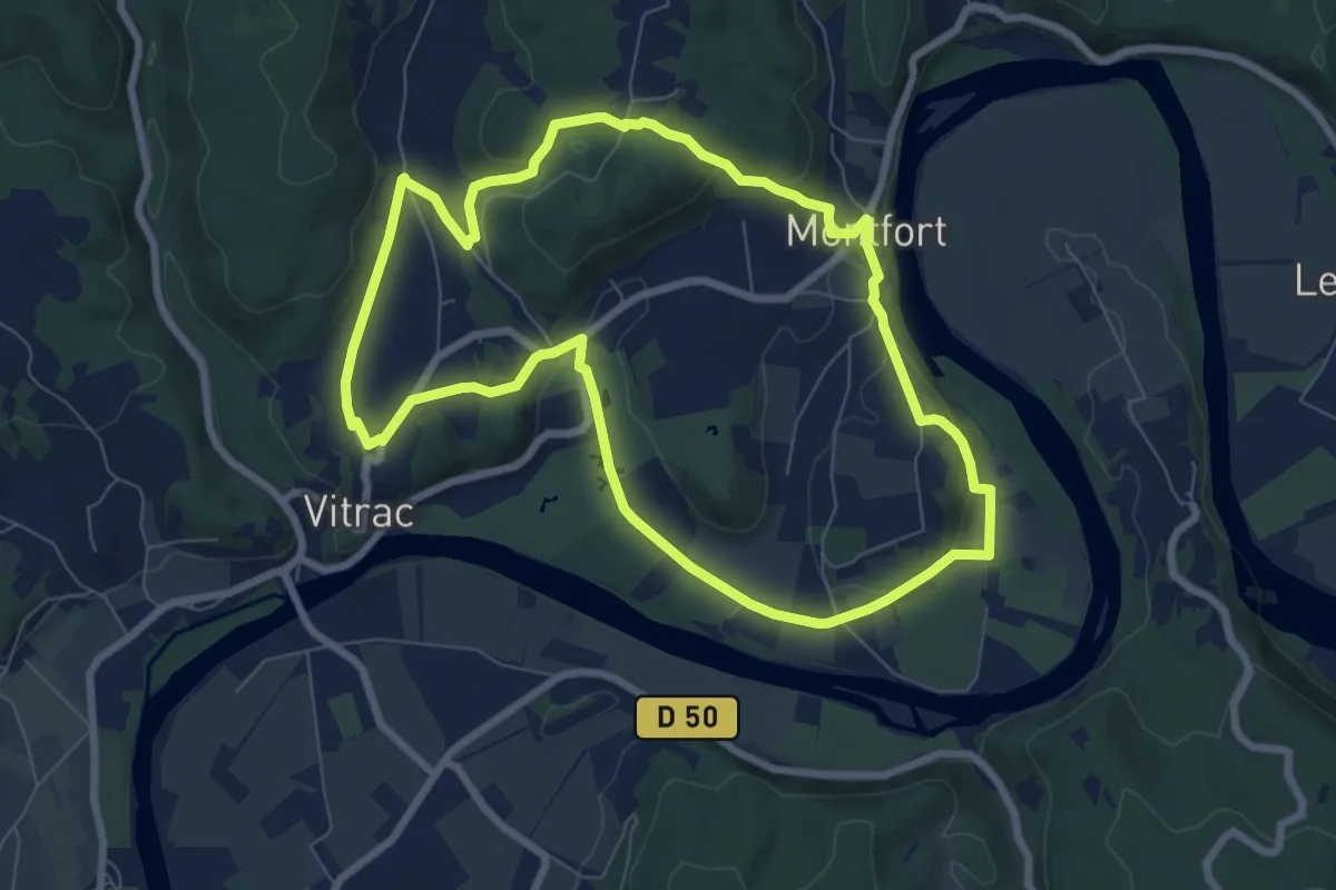
Easy · Trail
Boucle de Montfort
7.8 km · ↑ 182 m · 2 h 21 min · 6 km away
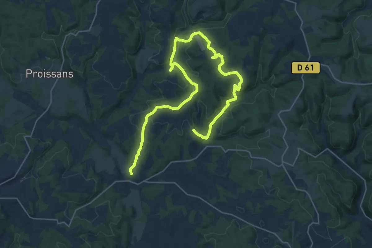
Demanding · Trail
Sentier du Manoir d'Eyrignac
25.8 km · ↑ 647 m · 7 h 30 min · 8 km away
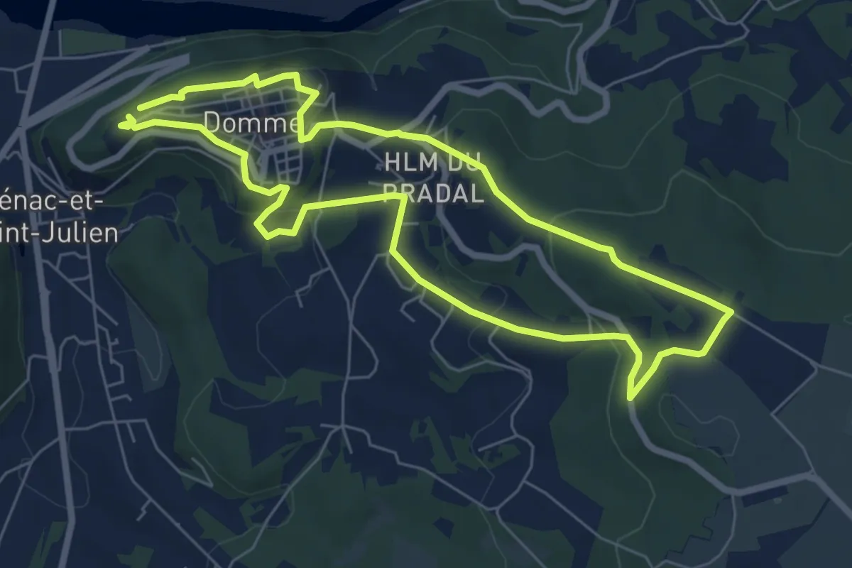
Easy · Trail
Chemin des meulières de Domme
6.3 km · ↑ 241 m · 2 h 6 min · 10 km away
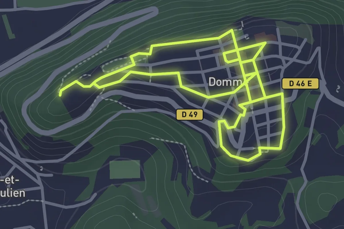
Easy · Trail
Circuit découverte de Domme
3.0 km · ↑ 98 m · 58 min · 10 km away
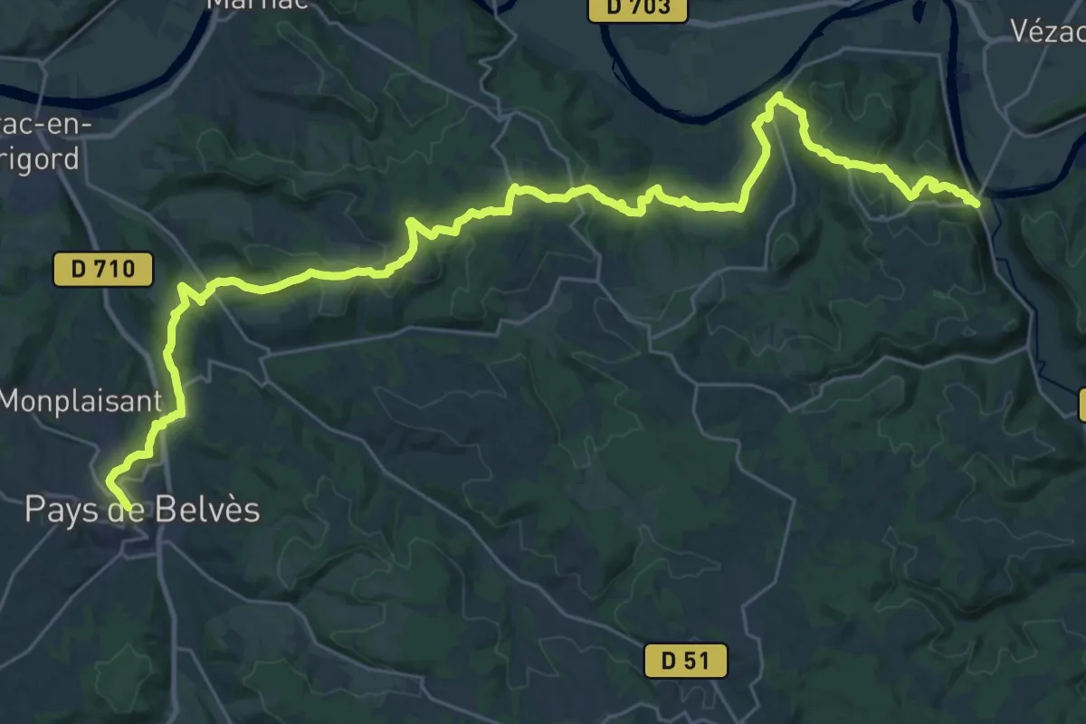
Demanding · Trail
Étape 17 • Chemin d'Amadour
19.6 km · ↑ 668 m · 6 h 18 min · 10 km away
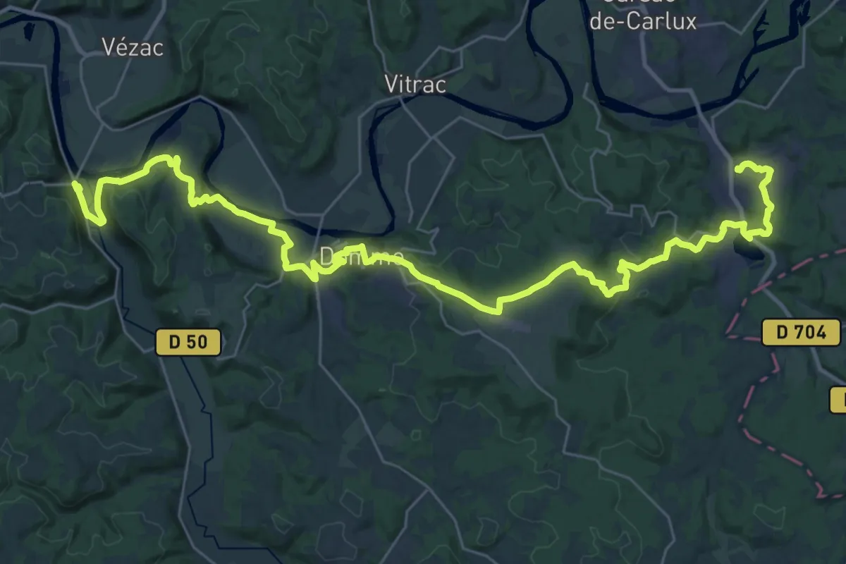
Demanding · Trail
Étape 18 • Chemin d'Amadour
21.1 km · ↑ 490 m · 6 h 20 min · 10 km away
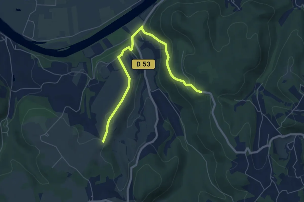
Easy · Trail
Liaison Castelnaud - Lapeyre
6.4 km · ↑ 223 m · 1 h 59 min · 10 km away
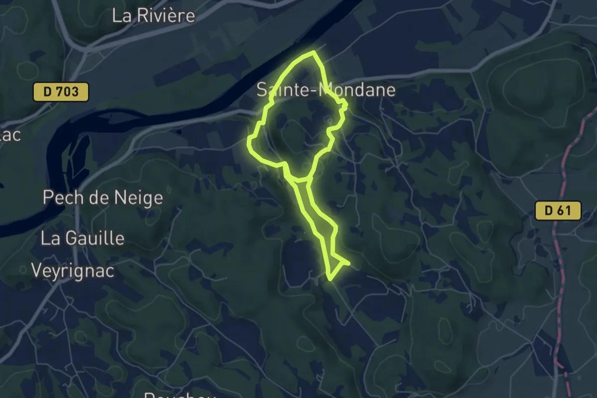
Easy · Trail
Chemin des meniers
5.1 km · ↑ 170 m · 1 h 38 min · 11 km away
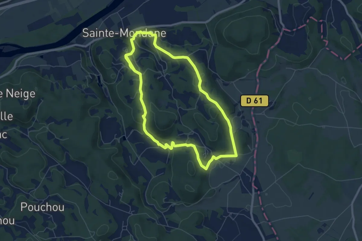
Easy · Trail
Boucle de Fénelon
6.5 km · ↑ 195 m · 2 h 3 min · 11 km away
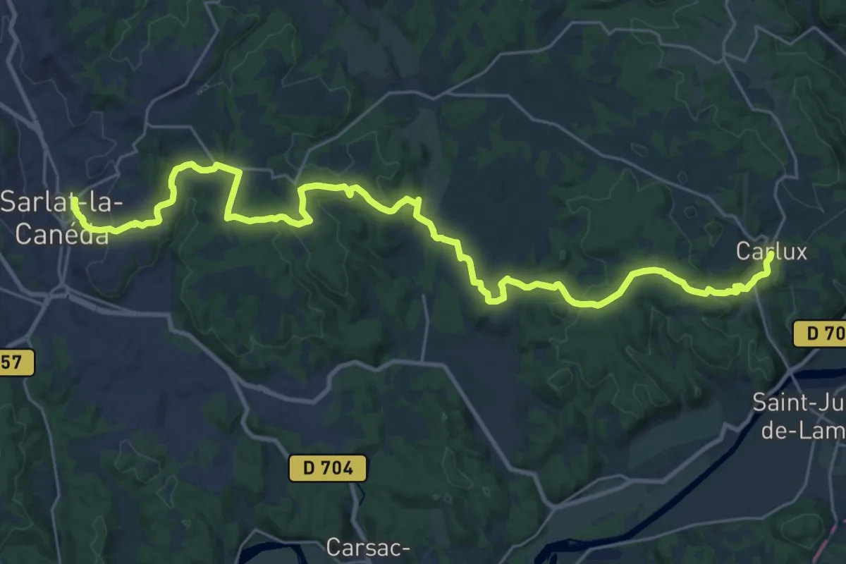
Medium · Trail
Jonction Sarlat - Carlux • Chemin d'Amadour
16.5 km · ↑ 374 m · 4 h 56 min · 11 km away
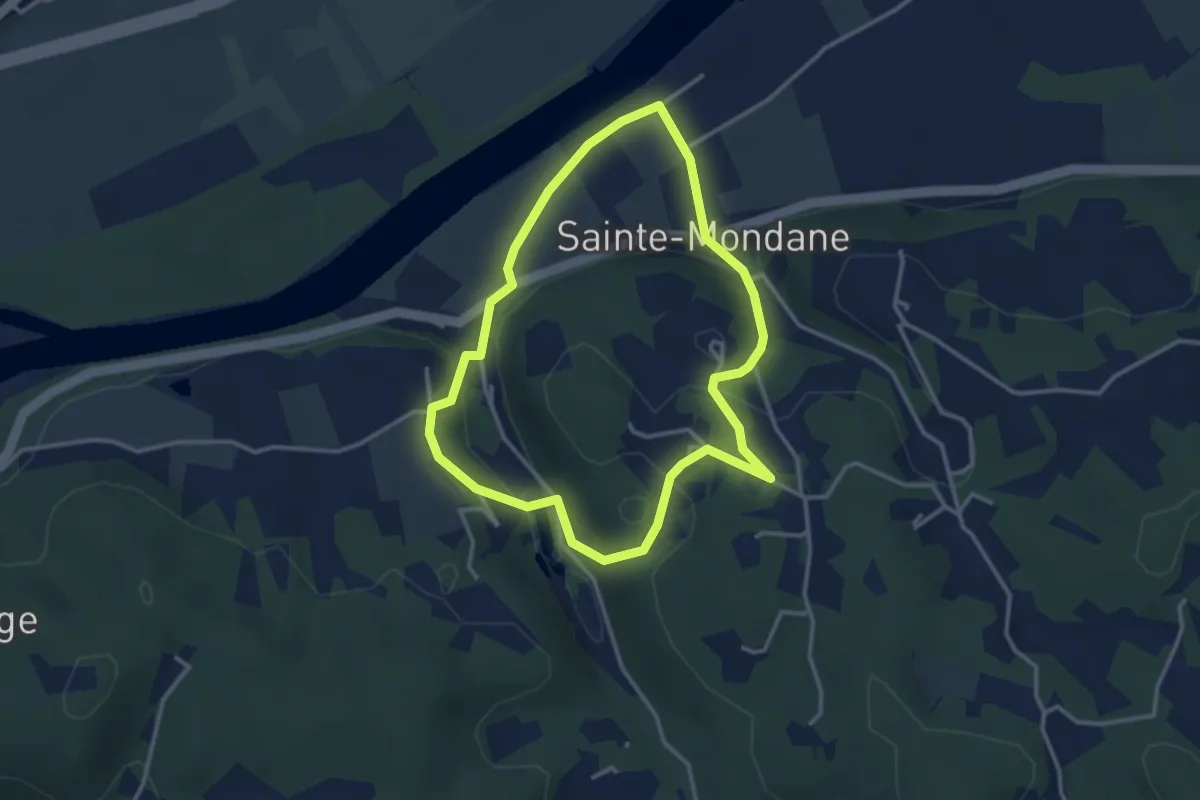
Easy · Trail
Boucle des moulins
3.2 km · ↑ 92 m · 59 min · 11 km away
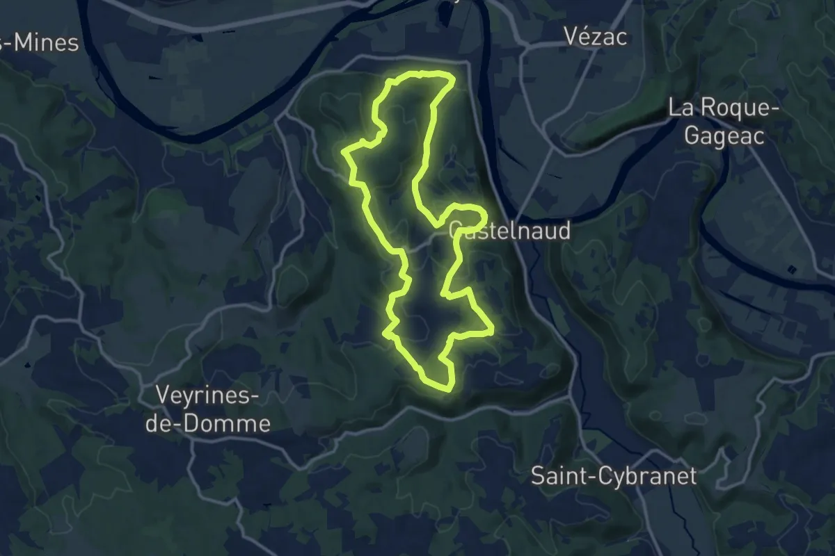
Medium · Trail
Boucle de Castelnaud
12.2 km · ↑ 315 m · 3 h 44 min · 11 km away
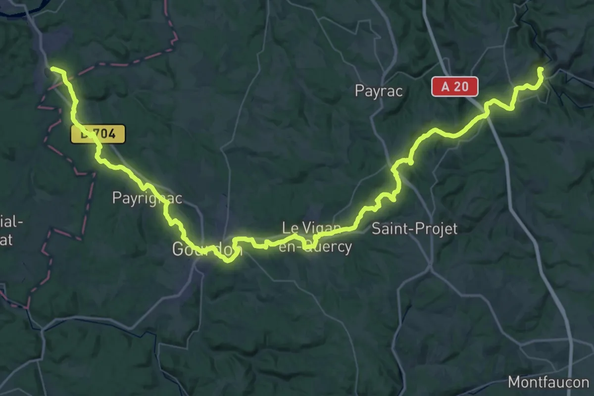
Demanding · Trail
De Rocamadour aux Eyzies-de-Tayac-Sireuil
35.4 km · ↑ 671 m · 10 h 17 min · 11 km away
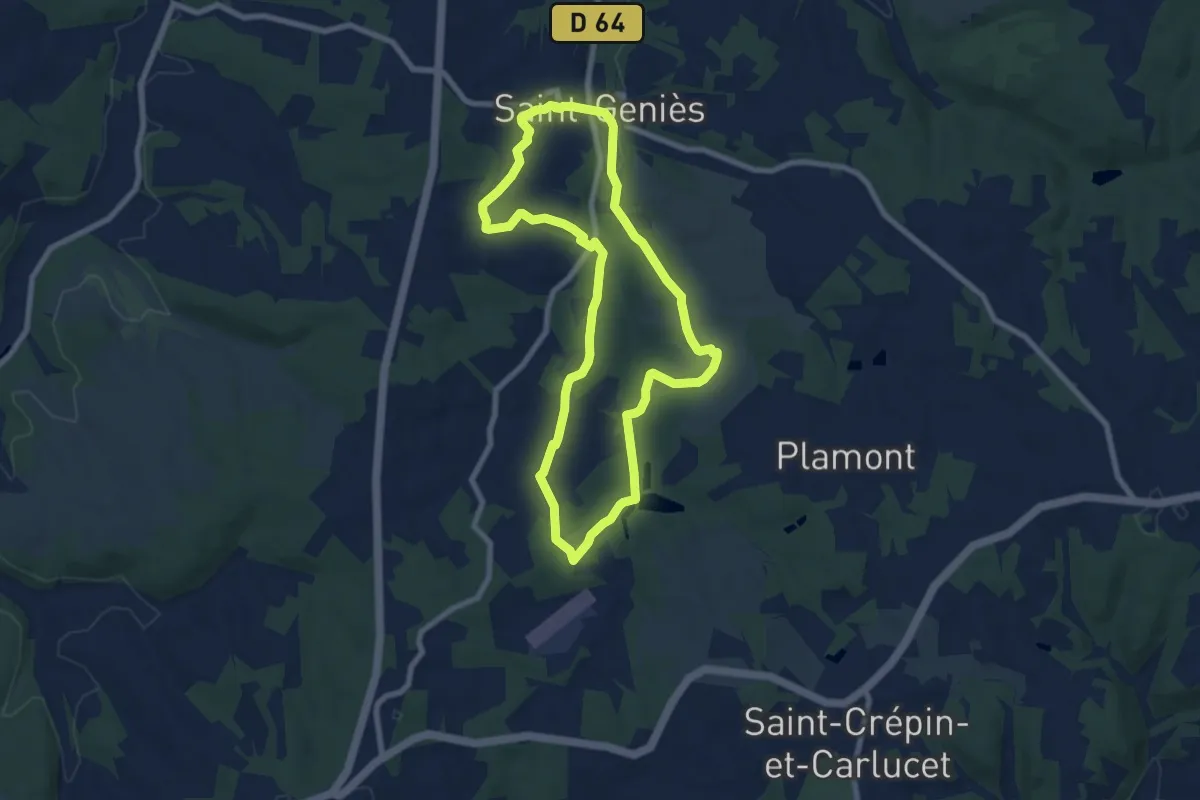
Easy · Trail
Boucle des Étangs
7.7 km · ↑ 128 m · 2 h 12 min · 12 km away
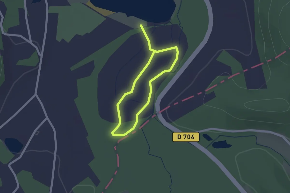
Easy · Trail
Sentier d'interprétation des marais de Groléjac
1.3 km · ↑ 4 m · 20 min · 12 km away
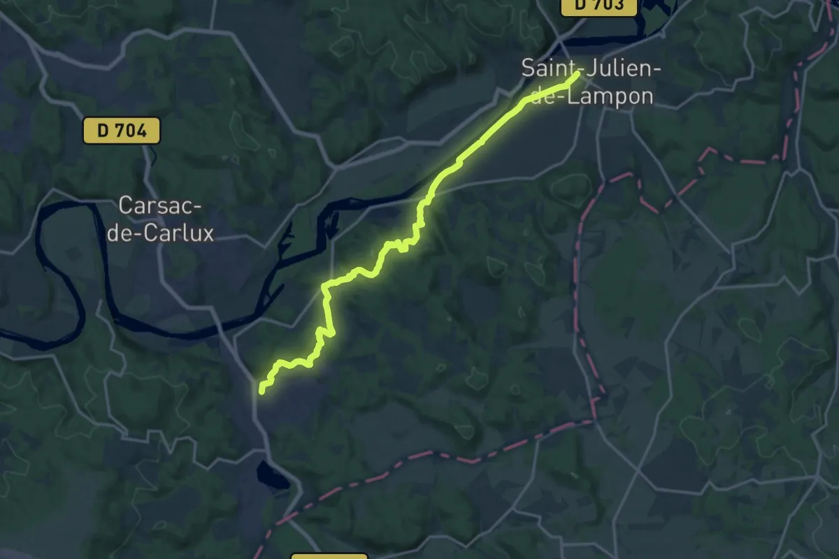
Demanding · Trail
Étape 19 • Chemin d'Amadour
18.4 km · ↑ 314 m · 5 h 2 min · 12 km away
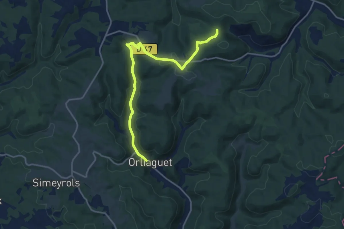
Medium · Trail
Liaison Borèze - Orliaguet
11.1 km · ↑ 221 m · 3 h 7 min · 12 km away
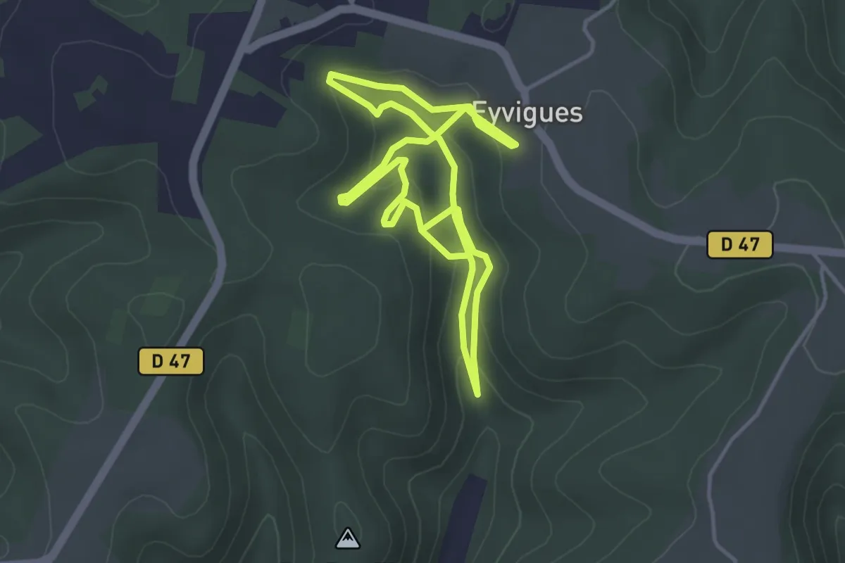
Easy · Trail
Sentier des Fontaines
3.6 km · ↑ 115 m · 1 h 10 min · 12 km away
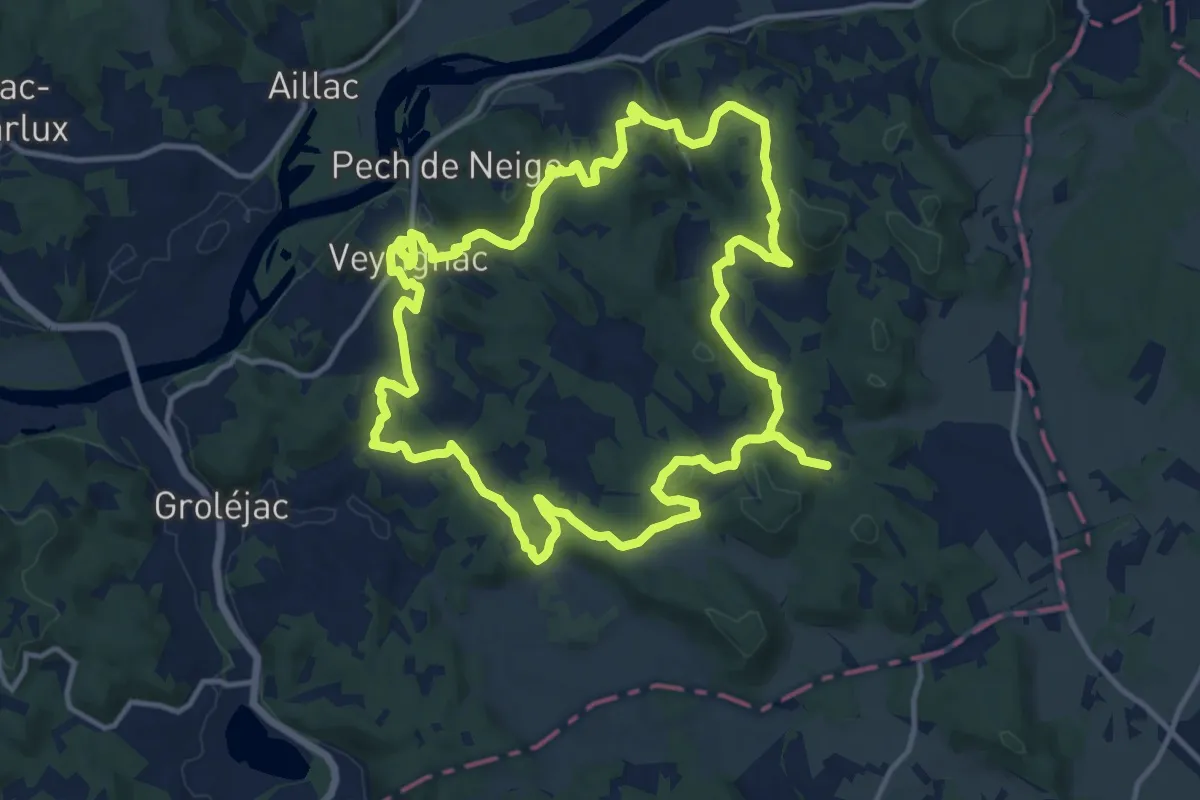
Medium · Trail
Boucle de Veyrignac
14.3 km · ↑ 352 m · 4 h 20 min · 13 km away
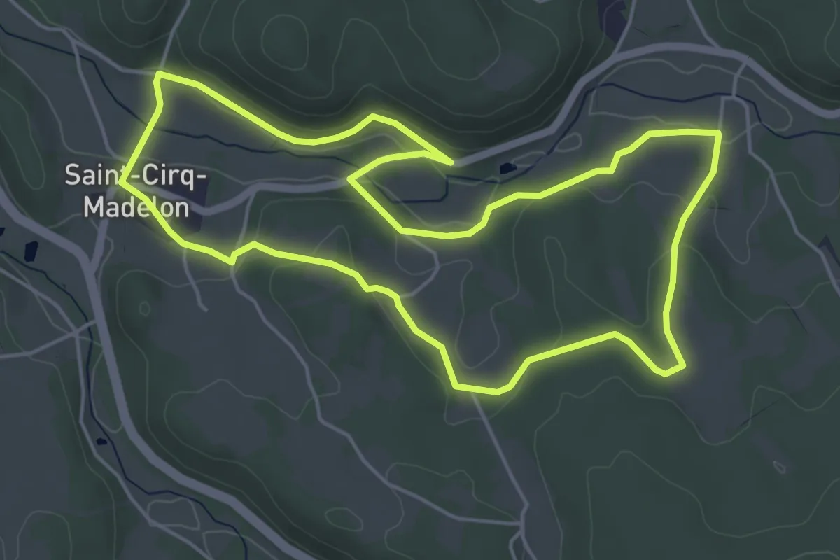
Easy · Trail
Le sentier de la falaise
5.3 km · ↑ 91 m · 1 h 32 min · 13 km away
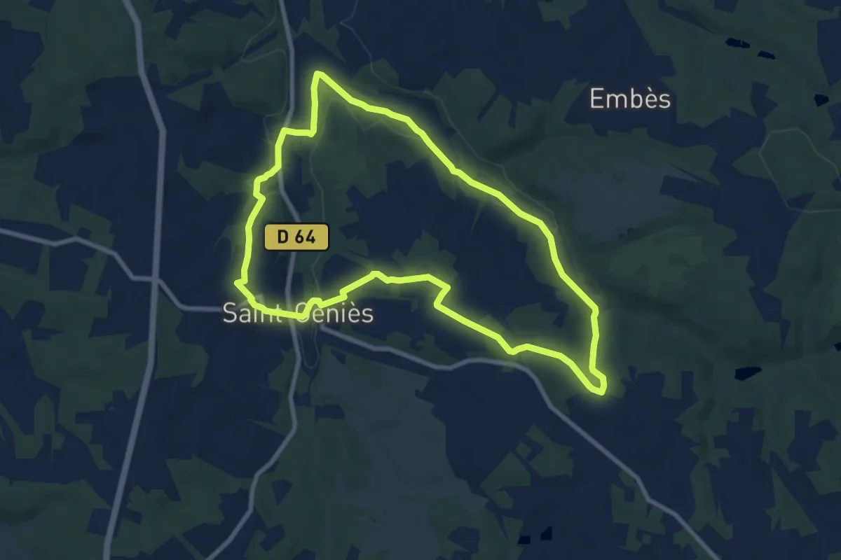
Easy · Trail
Boucle des Moulins
8.0 km · ↑ 141 m · 2 h 18 min · 13 km away
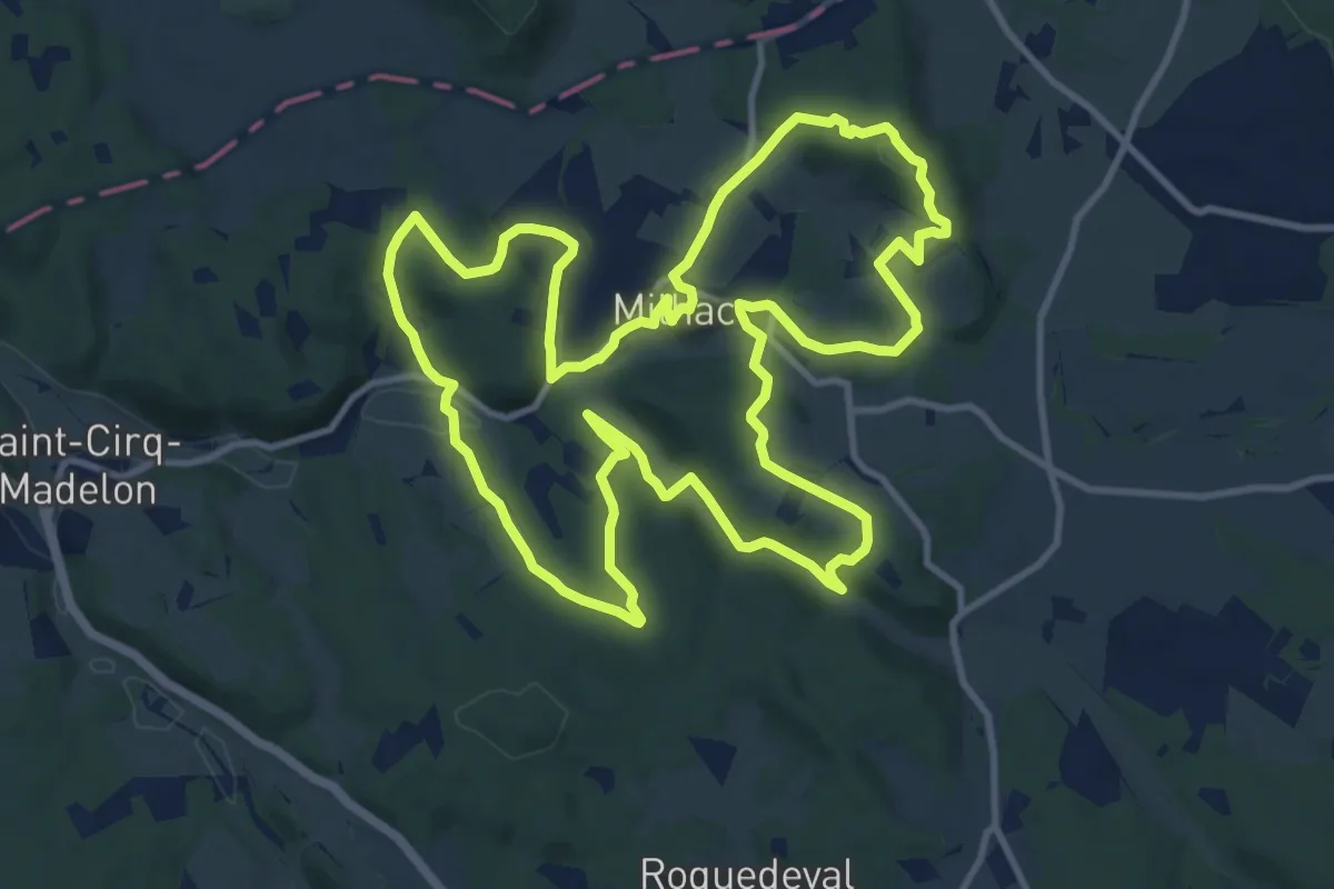
Medium · Trail
Le Chemin du Pech des Ausiers
13.3 km · ↑ 311 m · 4 h · 14 km away
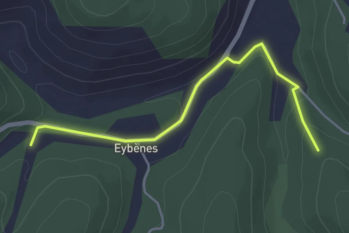
Easy · Trail
Boucle de la forêt
3.4 km · ↑ 81 m · 58 min · 15 km away