Trails near Septèmes-les-Vallons
27 hikes starting within 15 km, nearest first.
Nearest first
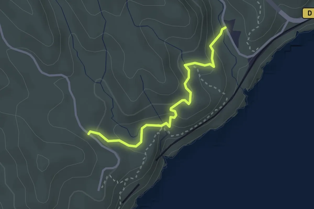
Medium · Trail
Establon – Route Pompidou
2.7 km · ↑ 122 m · 55 min · 9 km away
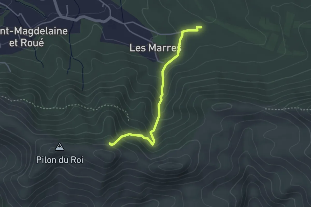
Easy · Trail
ETx2 - Les Marres
3.2 km · ↑ 249 m · 1 h 18 min · 9 km away
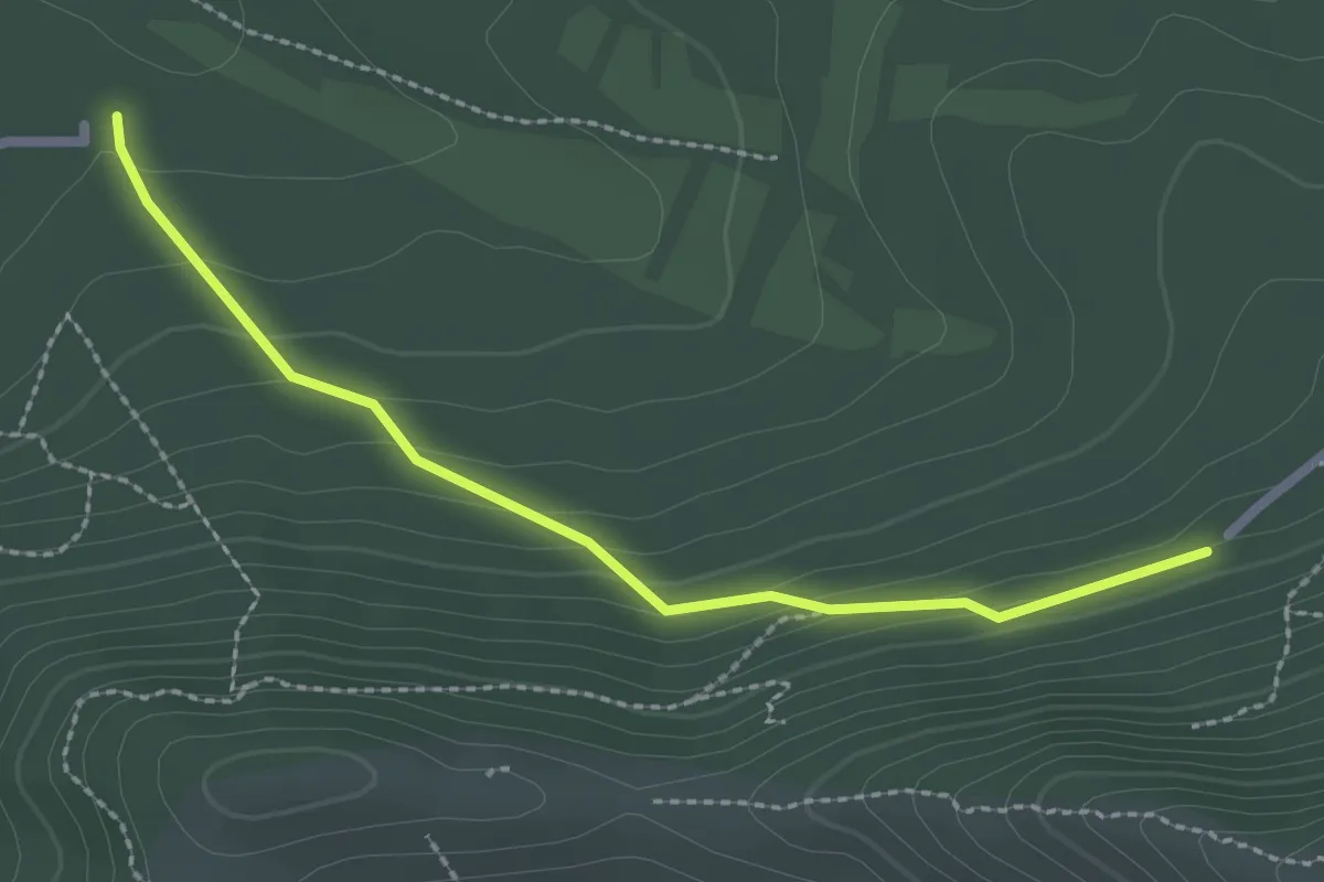
Easy · Trail
Du Parking du col Sainte-Anne aux Marres
2.5 km · ↑ 124 m · 52 min · 9 km away
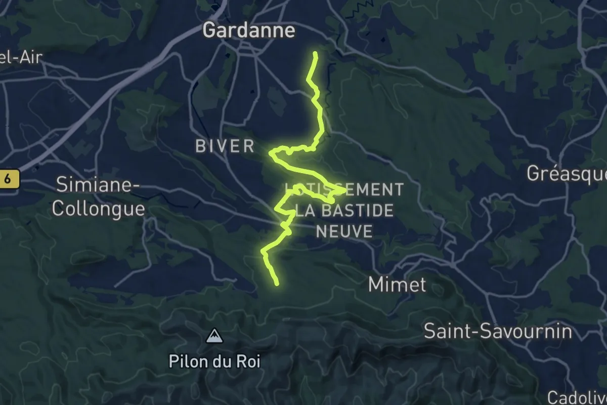
Medium · Trail
De Gardanne aux Marres
17.1 km · ↑ 302 m · 4 h 42 min · 9 km away
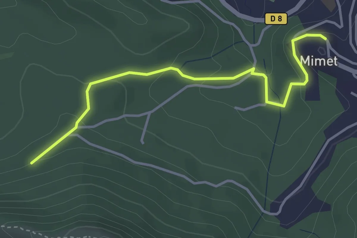
Easy · Trail
Du parking du Col Saint-Anne à Mimet
3.6 km · ↑ 146 m · 1 h 10 min · 10 km away
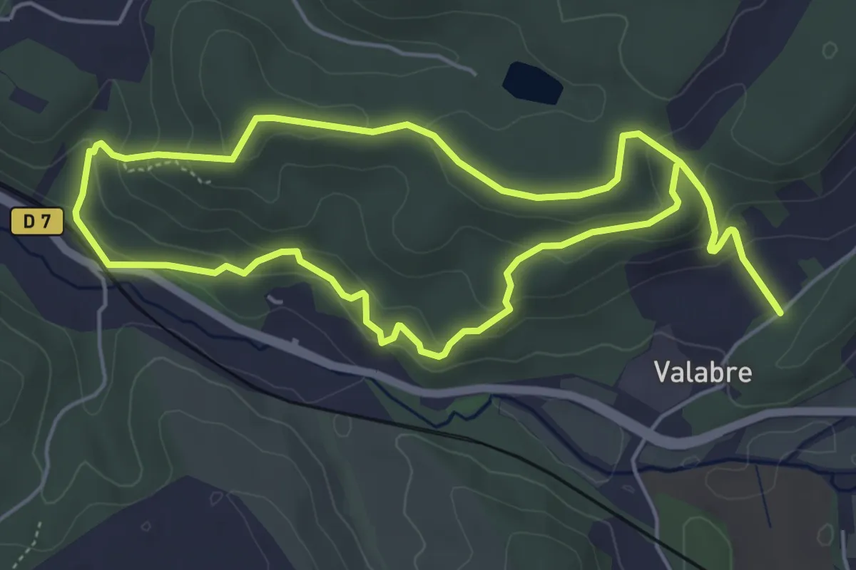
Easy · Trail
Ecomusée de la Forêt – Ecomusée de la Forêt
5.5 km · ↑ 215 m · 1 h 51 min · 10 km away
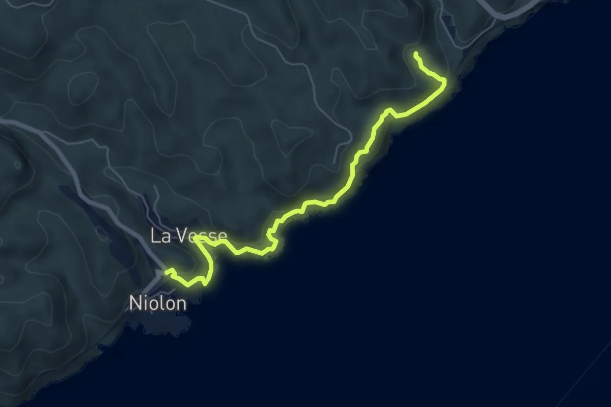
Demanding · Trail
Sentier des Douaniers
6.2 km · ↑ 345 m · 2 h 12 min · 11 km away
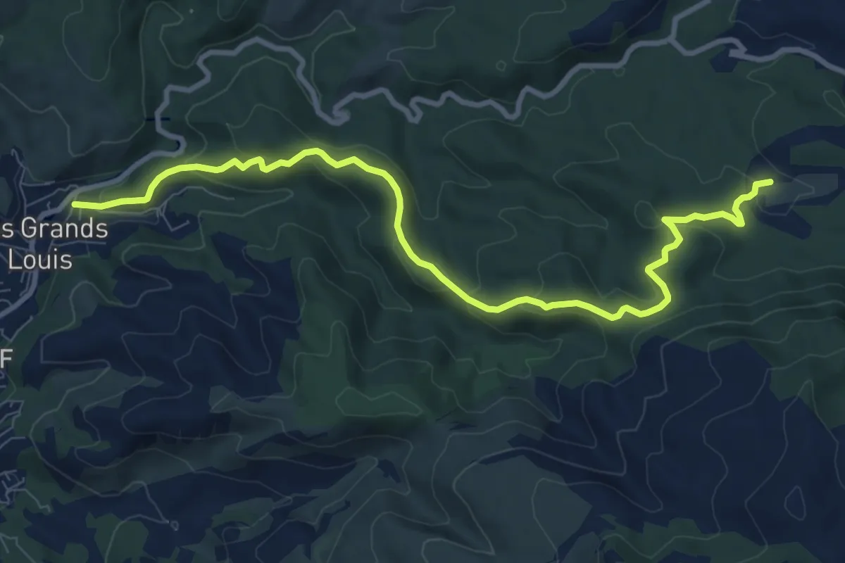
Medium · Trail
yellow
10.5 km · ↑ 351 m · 3 h 14 min · 11 km away
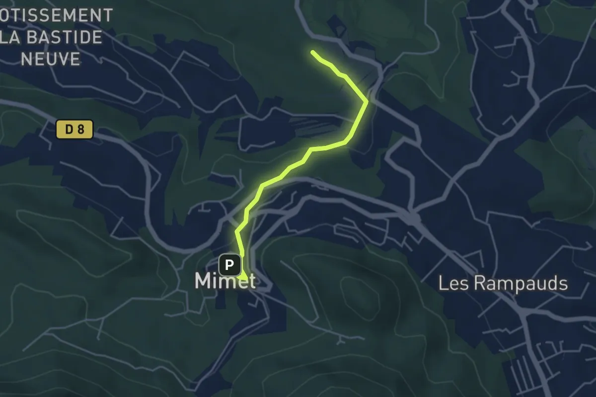
Easy · Trail
De Mimet au poteau ET 39
3.8 km · ↑ 133 m · 1 h 11 min · 11 km away
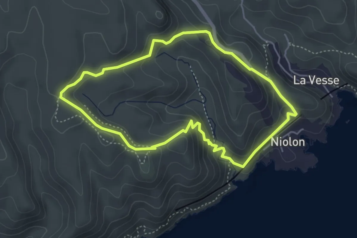
Medium · Trail
Le fort de Niolon
4.1 km · ↑ 200 m · 1 h 28 min · 11 km away
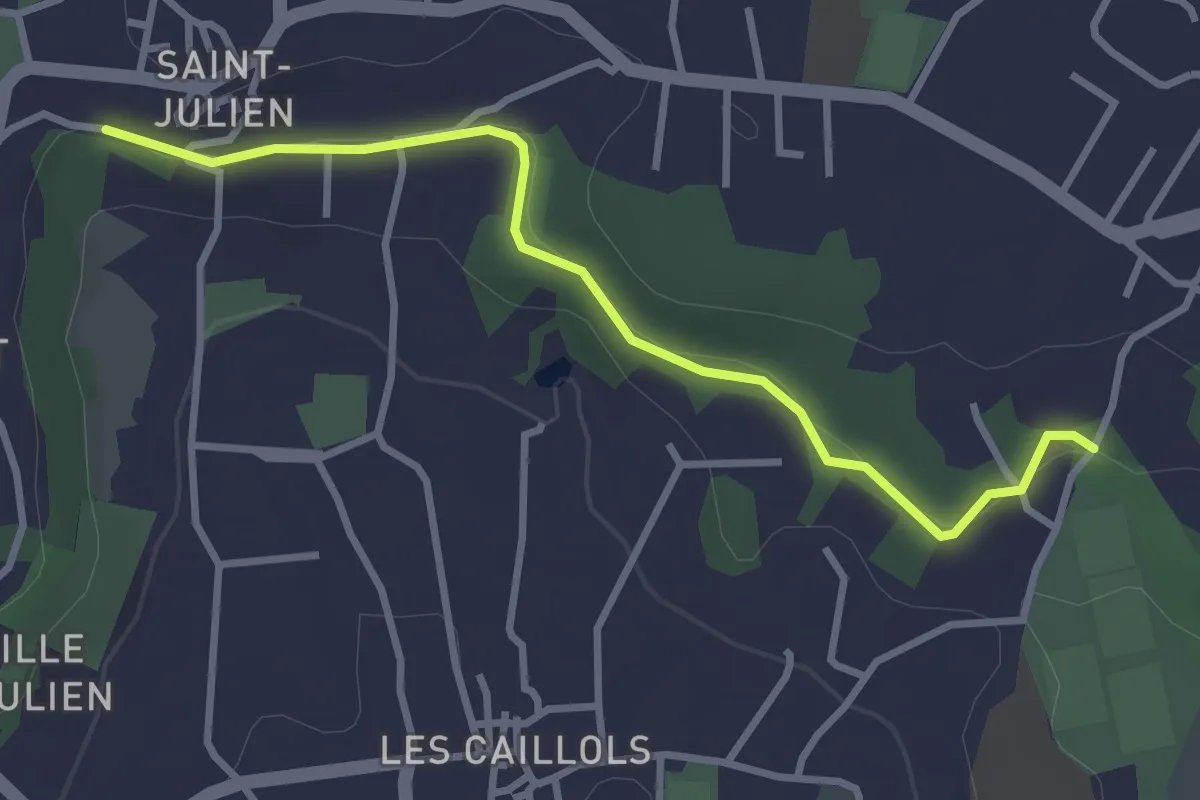
Easy · Trail
Promenade du Canal Saint Julien
3.4 km · ↑ 57 m · 56 min · 12 km away
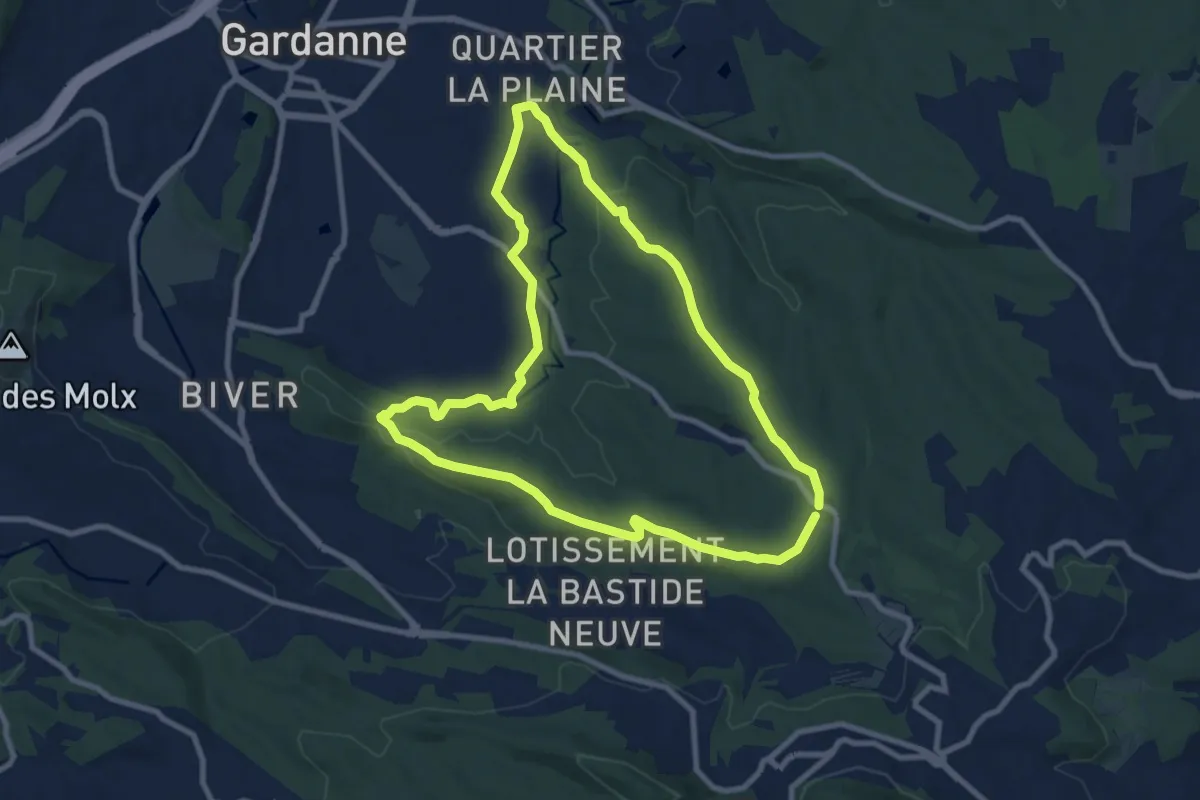
Medium · Trail
Circuit des Crêtes
9.2 km · ↑ 165 m · 2 h 40 min · 12 km away
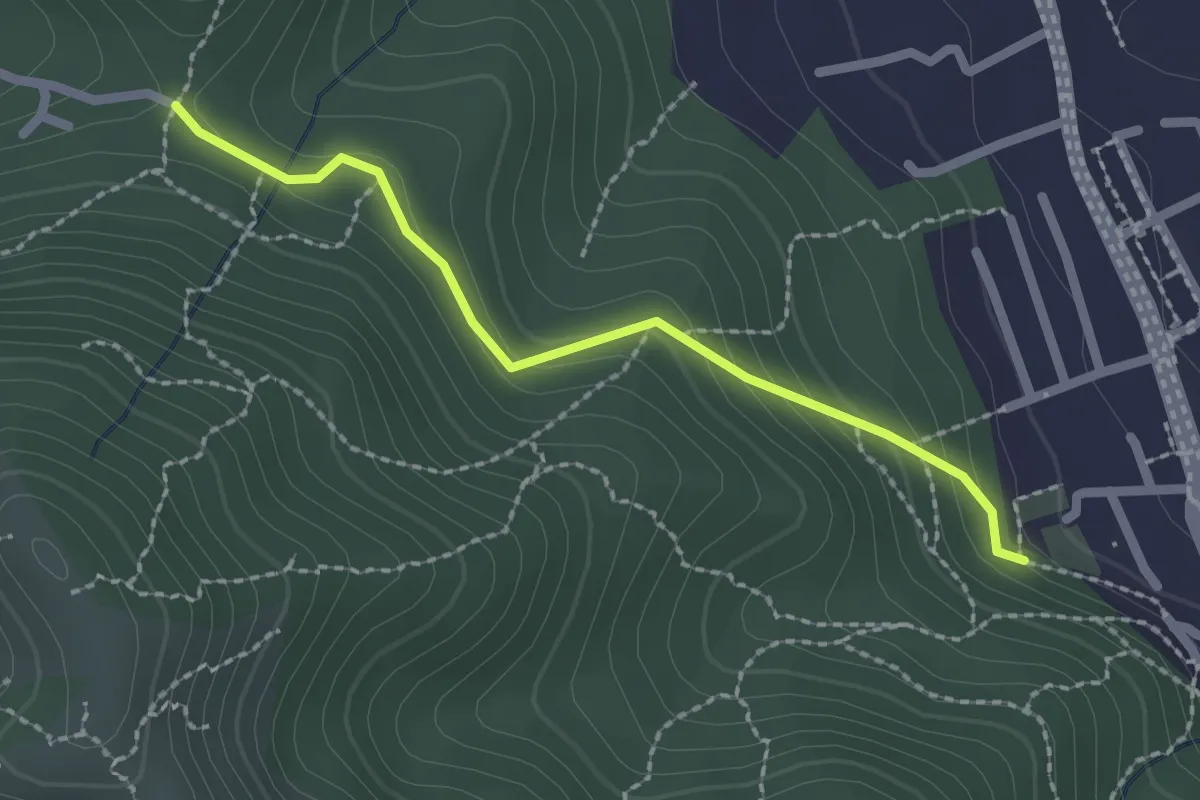
Easy · Trail
Du Poteau ET 07 au poteau ET 08
2.2 km · ↑ 130 m · 48 min · 12 km away
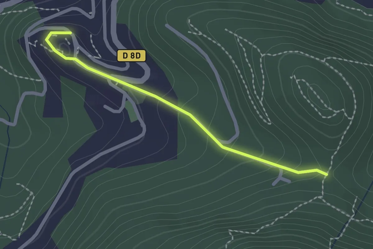
Easy · Trail
Du poteau ET 08 à Mimet
2.0 km · ↑ 102 m · 42 min · 12 km away
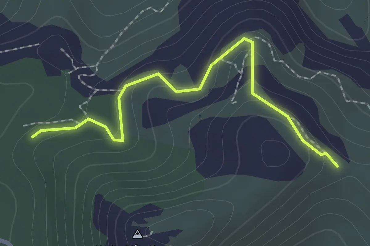
Easy · Trail
Rando
2.1 km · ↑ 96 m · 42 min · 12 km away
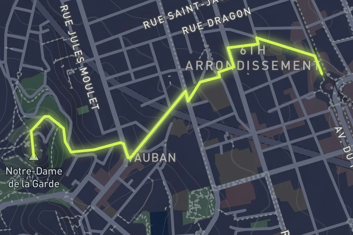
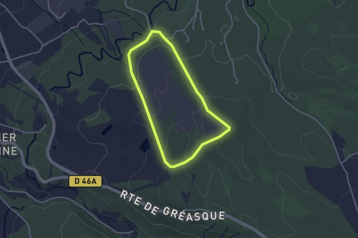
Easy · Summit
De Castellane à la Bonne Mère par les Traviolles
3.2 km · ↑ 127 m · 1 h 2 min · 13 km away
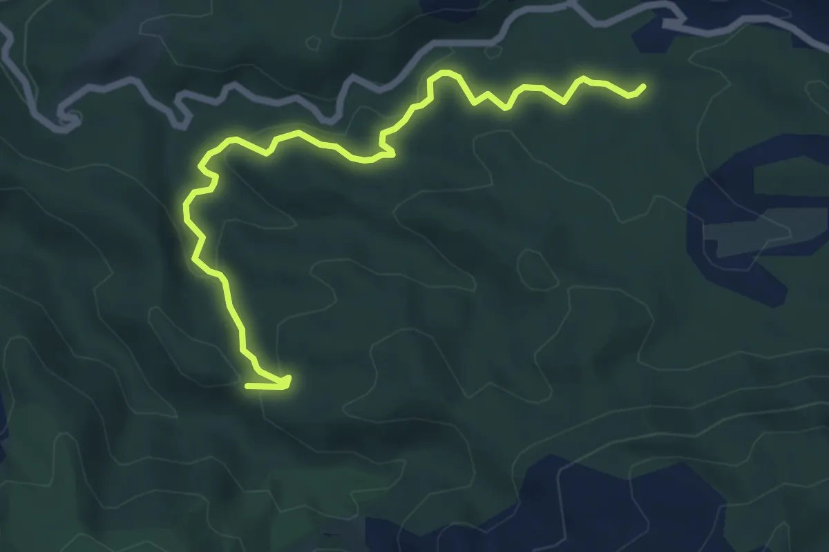
Easy · Trail
Chemin des énergies
2.5 km · ↑ 60 m · 46 min · 13 km away
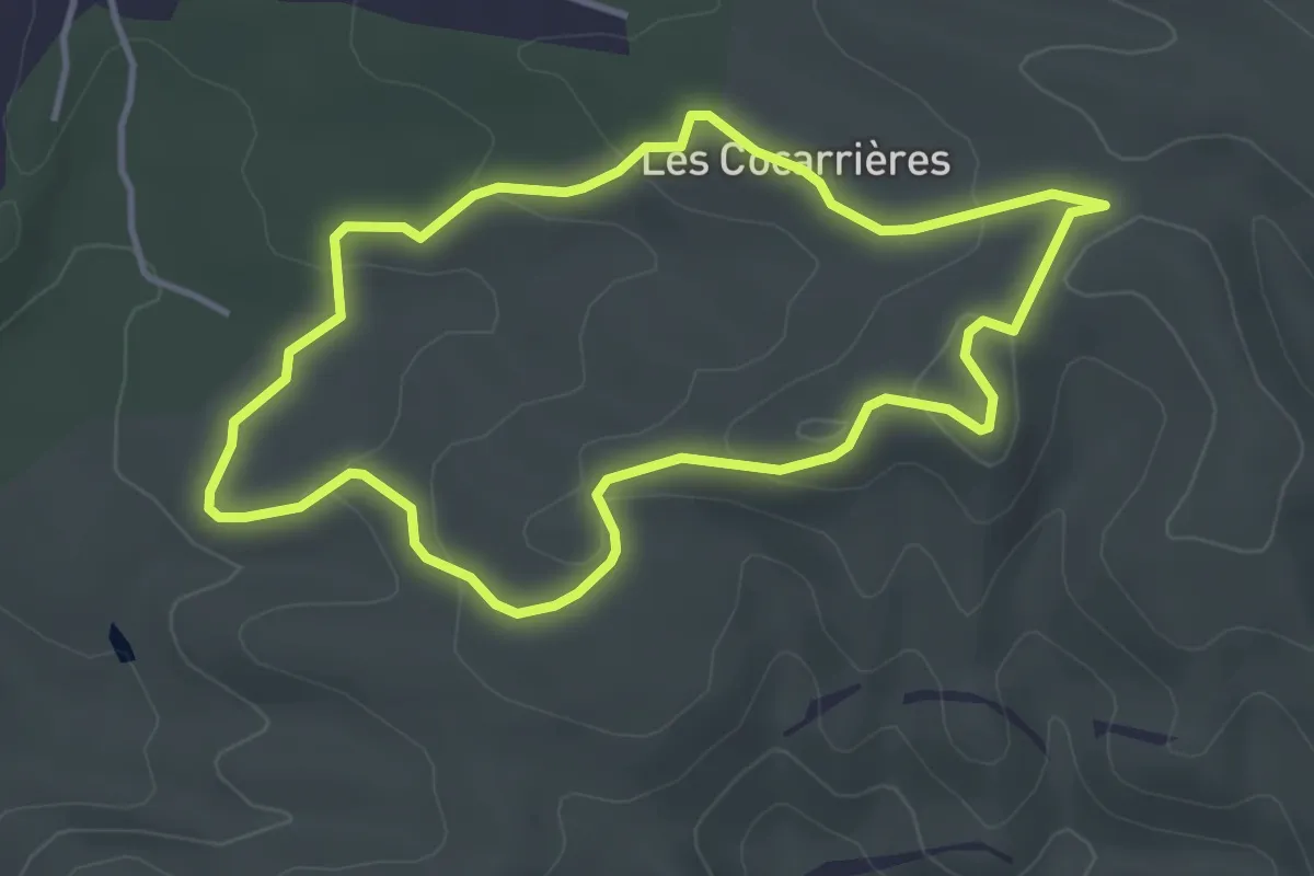
Medium · Trail
jaune
6.5 km · ↑ 207 m · 1 h 59 min · 13 km away
Easy · Trail
Boucle des Bourgailles Caucarières
3.9 km · ↑ 96 m · 1 h 11 min · 13 km away
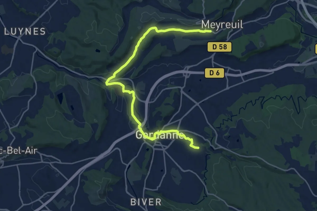
Demanding · Trail
De Meyreuil à Gardanne
18.7 km · ↑ 193 m · 4 h 49 min · 14 km away
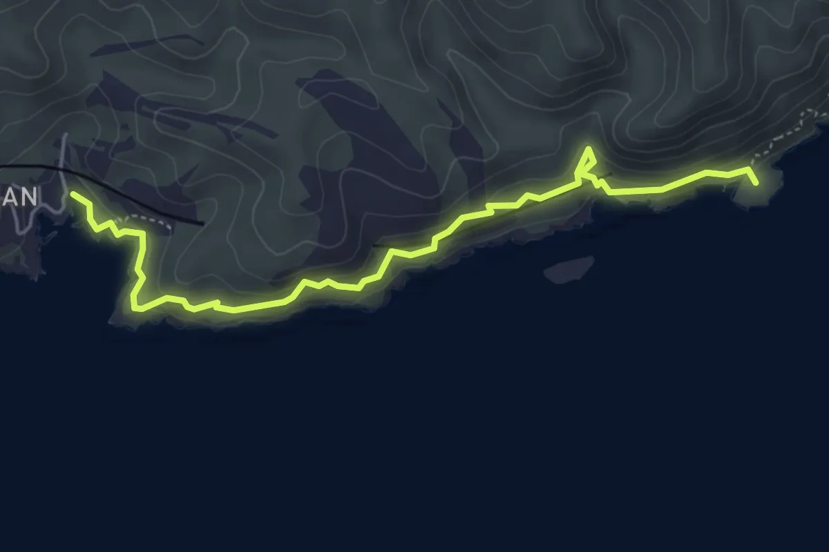
Demanding · Summit
Sentier des Douaniers
5.6 km · ↑ 348 m · 2 h 5 min · 14 km away
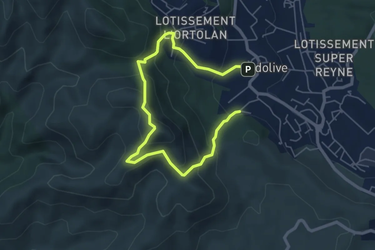
Easy · Summit
Le mont Julien
3.3 km · ↑ 250 m · 1 h 22 min · 14 km away
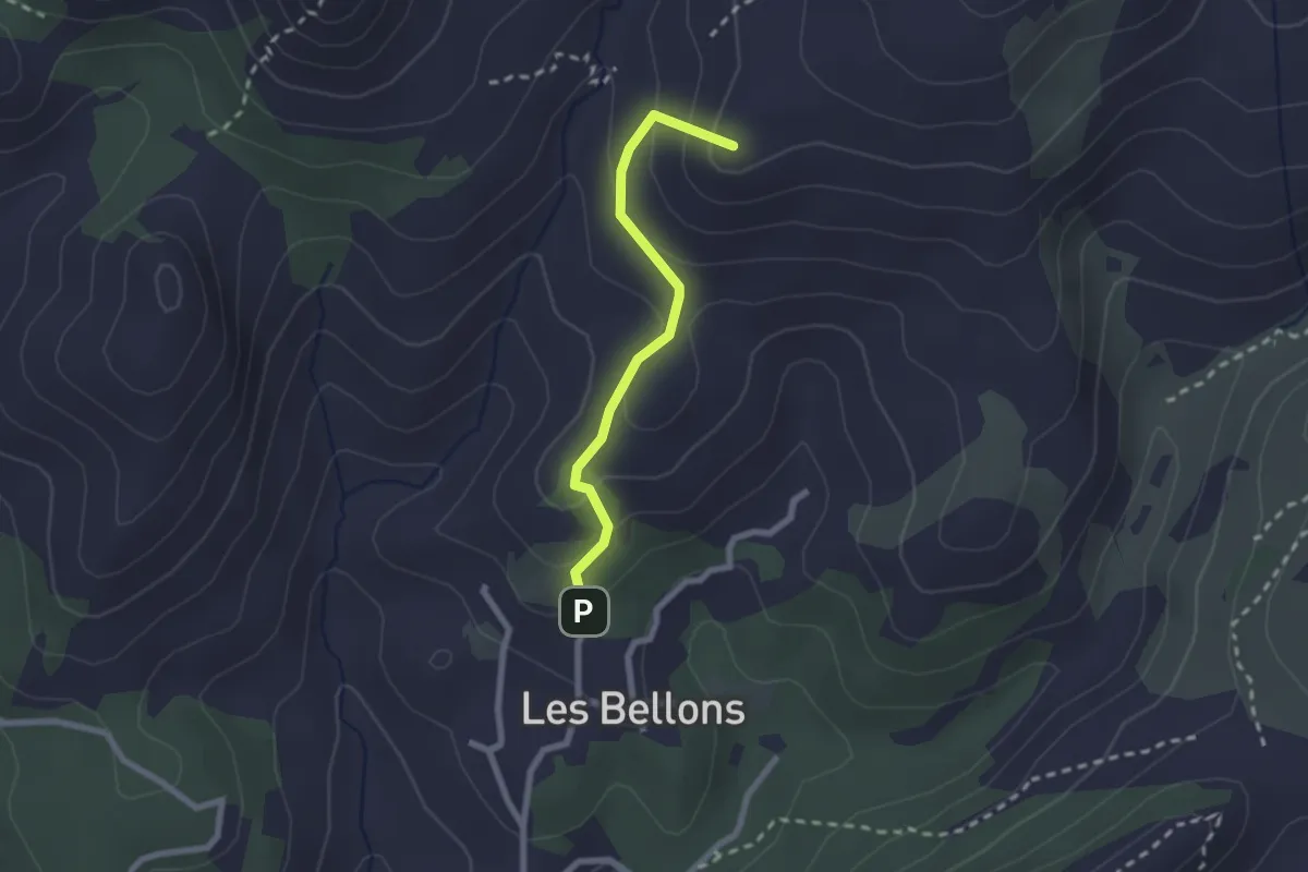
Medium · Summit
La Bastide neuve - Tête ronde - Pas du loup
2.2 km · ↑ 134 m · 48 min · 14 km away
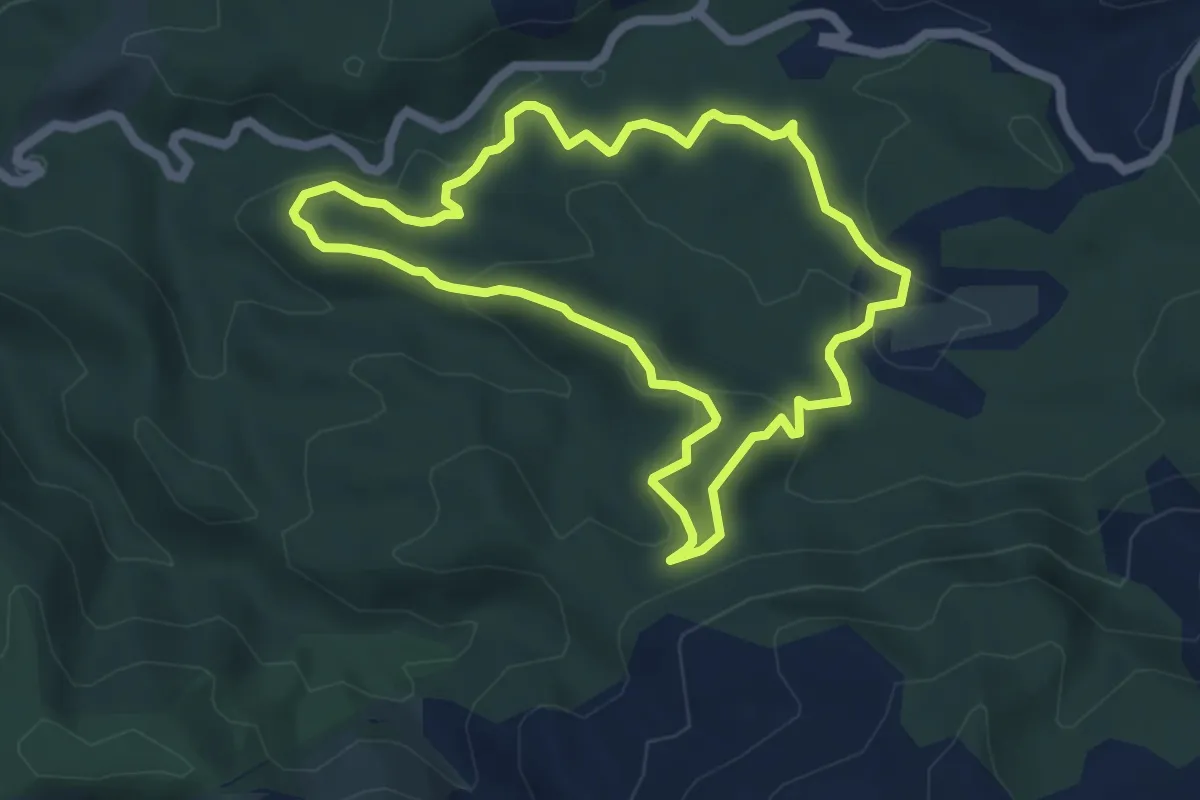
Medium · Trail
Boucle du Château de Ners
5.4 km · ↑ 155 m · 1 h 42 min · 15 km away
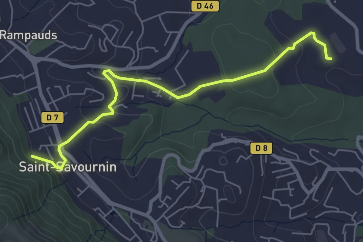
Easy · Trail
Du poteau ET 07 au poteau ET 30
5.6 km · ↑ 139 m · 1 h 38 min · 15 km away
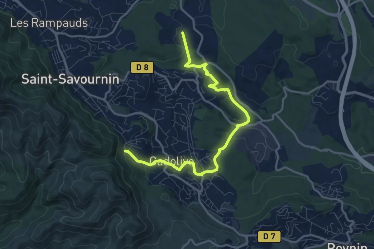
Medium · Trail
Du poteau ET 02 au poteau ET 30
9.9 km · ↑ 281 m · 2 h 56 min · 15 km away
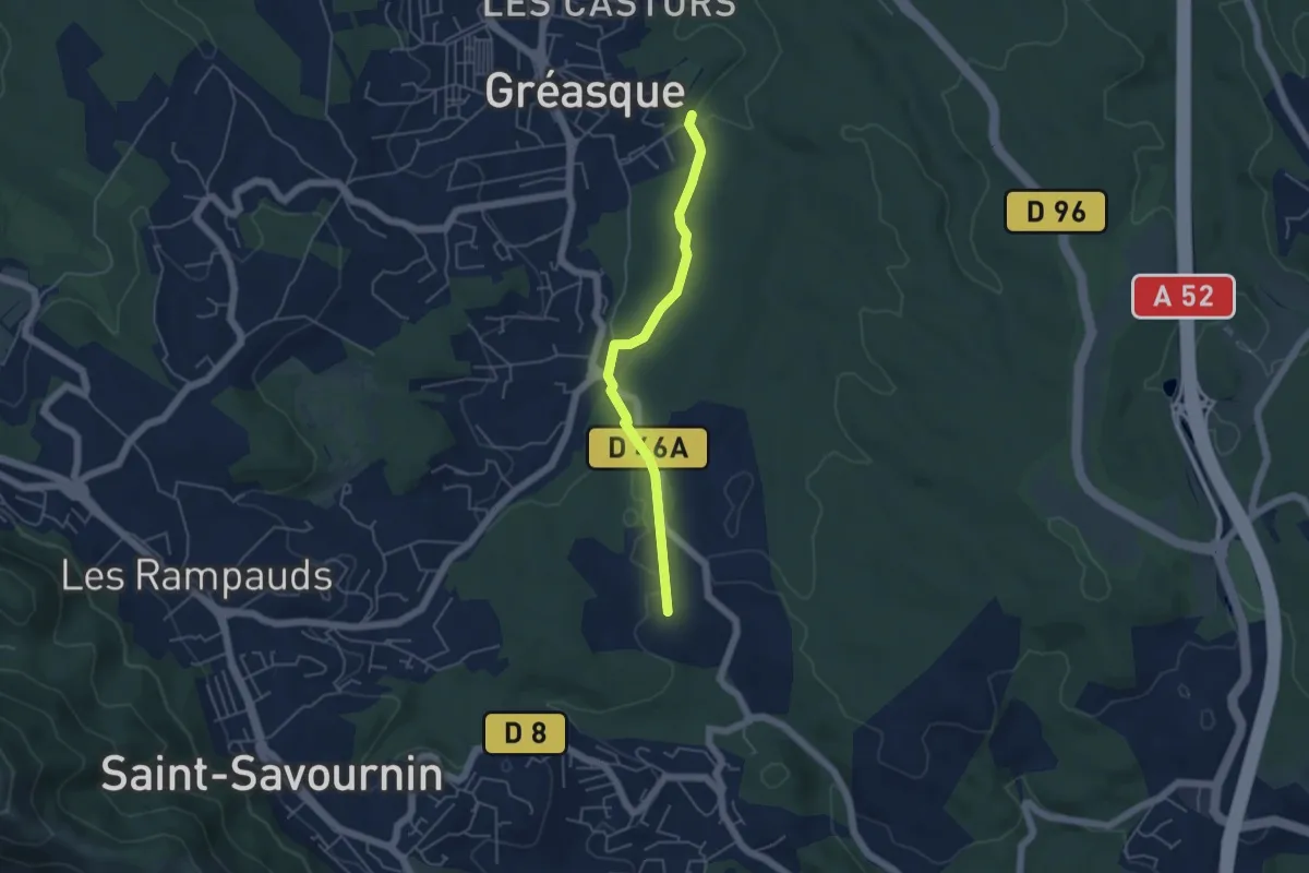
Easy · Trail
Du poteau ET 30 au poteau ET 31
4.7 km · ↑ 39 m · 1 h 12 min · 15 km away