Trails near Sisteron
50 hikes starting within 15 km, nearest first.
Nearest first, page 1 of 2
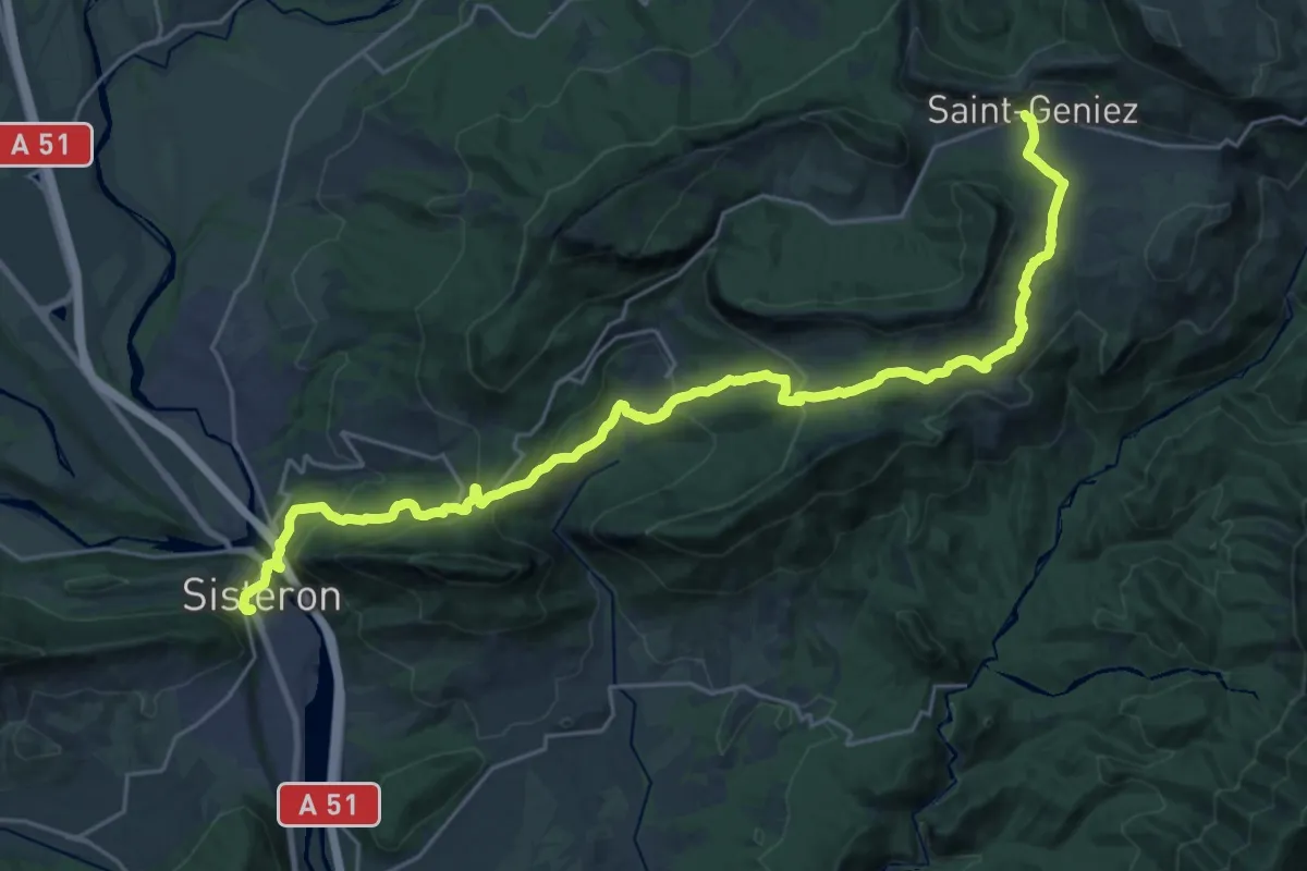
Demanding · Trail
Sisteron – Saint-Geniez
14.9 km · ↑ 896 m · 5 h 22 min · under 1 km away
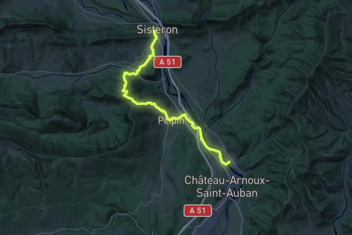
Demanding · Trail
Route Napoléon à Pied (variante)
18.7 km · ↑ 638 m · 6 h 5 min · under 1 km away
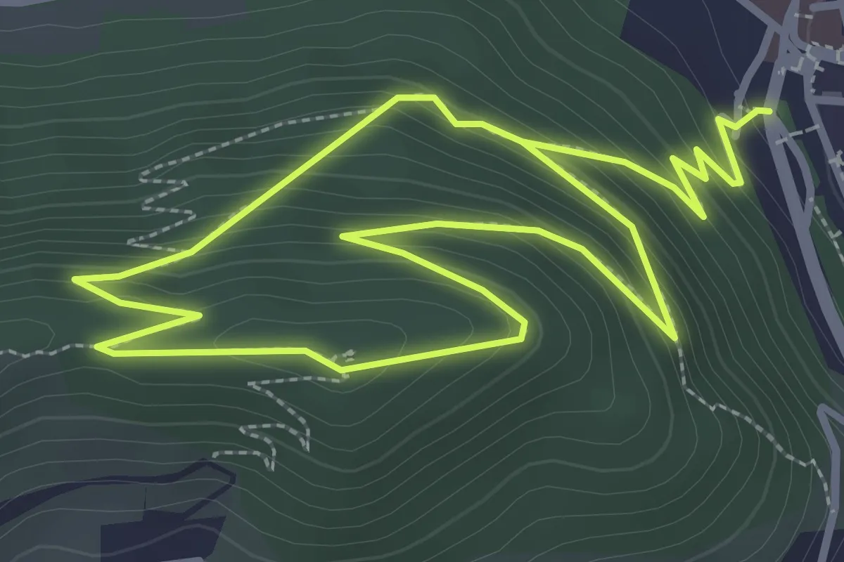
Easy · Trail
Sentier botanique du Molard
2.9 km · ↑ 218 m · 1 h 10 min · under 1 km away
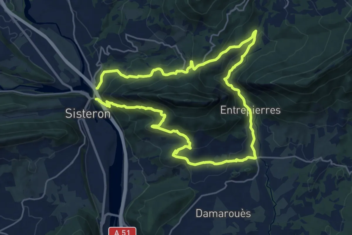
Medium · Trail
Tour de la montagne de la Baume
14.8 km · ↑ 721 m · 5 h 16 min · under 1 km away
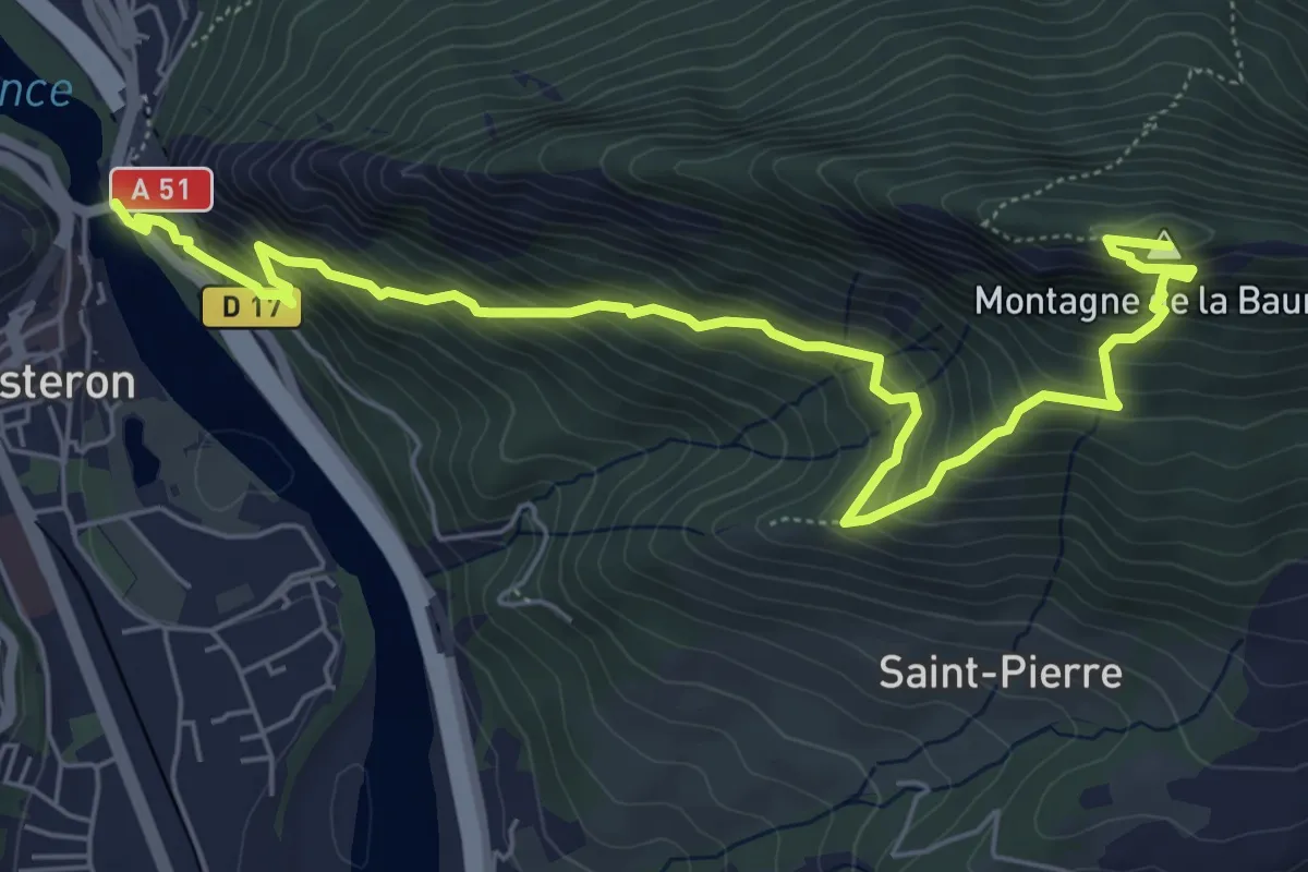
Demanding · Summit
Trou de l'Argent
3.9 km · ↑ 714 m · 2 h 12 min · under 1 km away
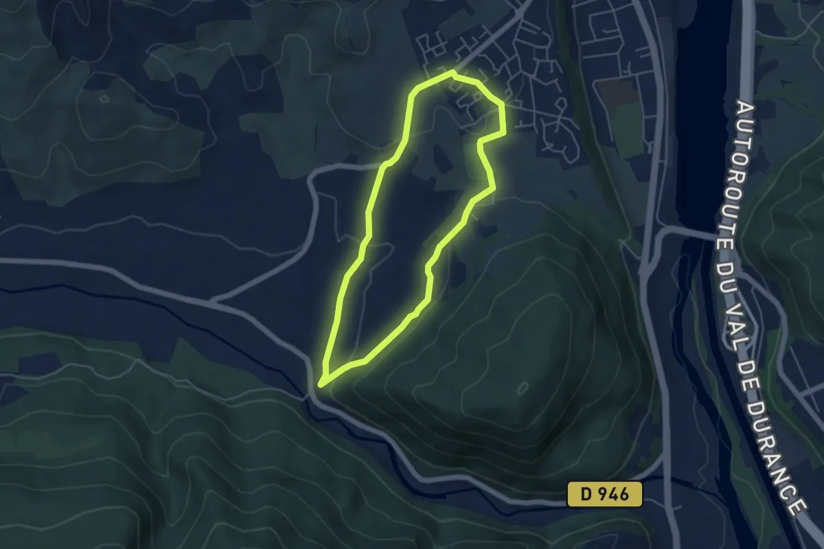
Easy · Trail
Tour de Saint-Domnin
4.4 km · ↑ 97 m · 1 h 19 min · 2 km away
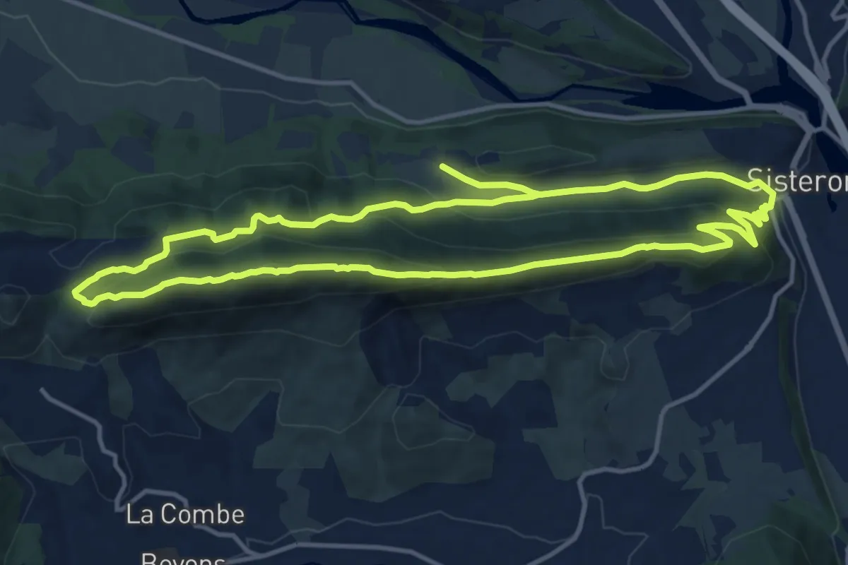
Medium · Summit
Le tour de la Colle
12.3 km · ↑ 517 m · 4 h 12 min · 2 km away
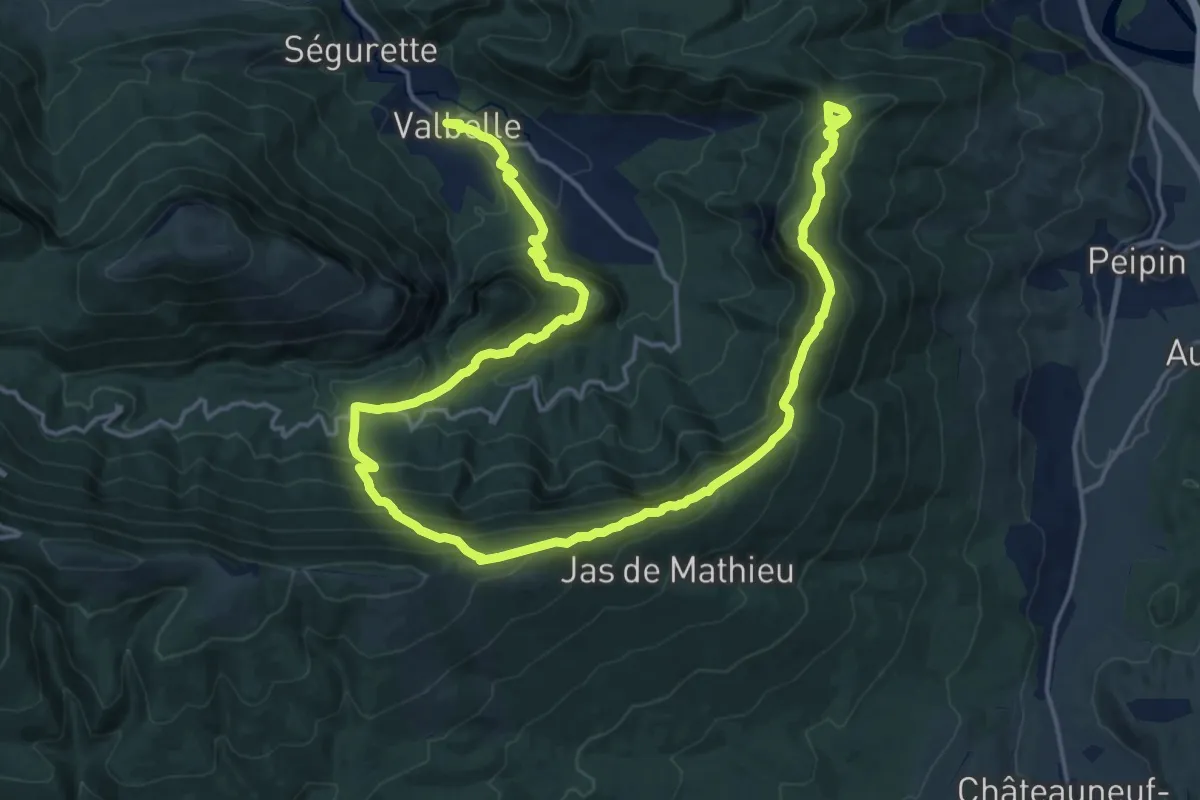
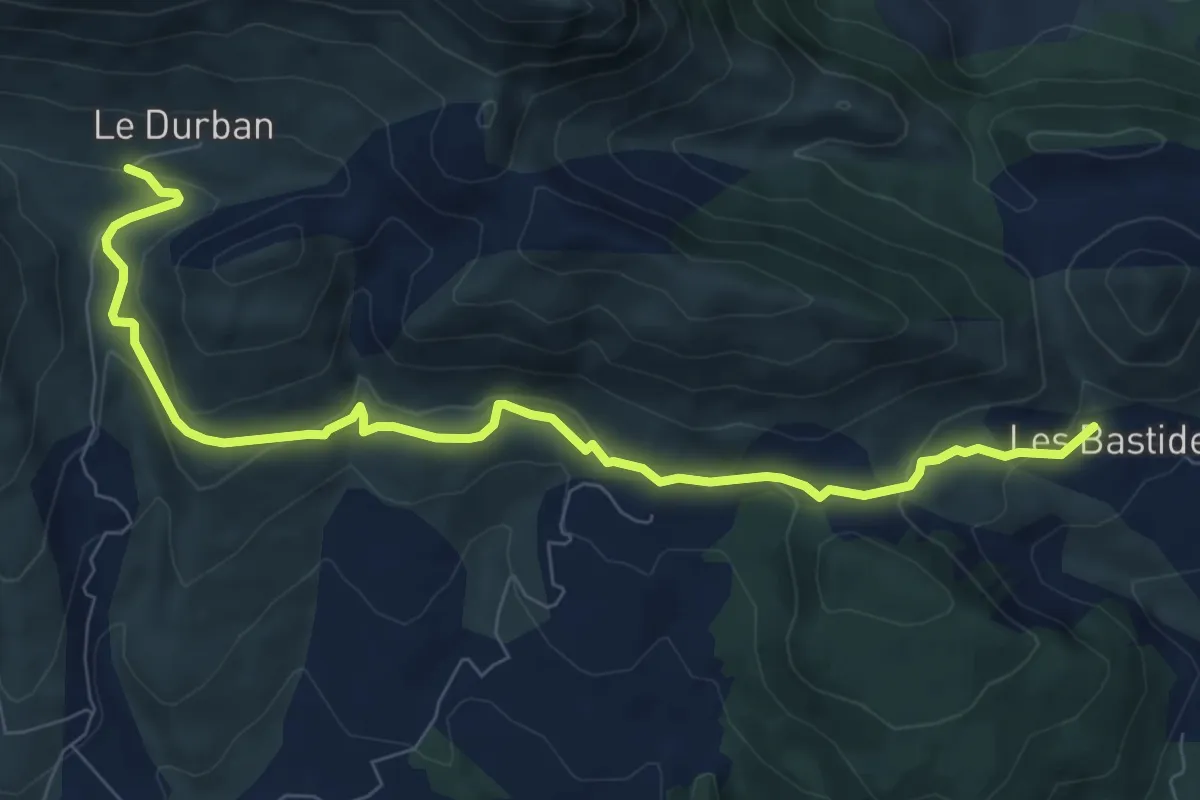
Medium · Trail
Cirque de Valbelle
14.5 km · ↑ 585 m · 5 h 7 min · 6 km away
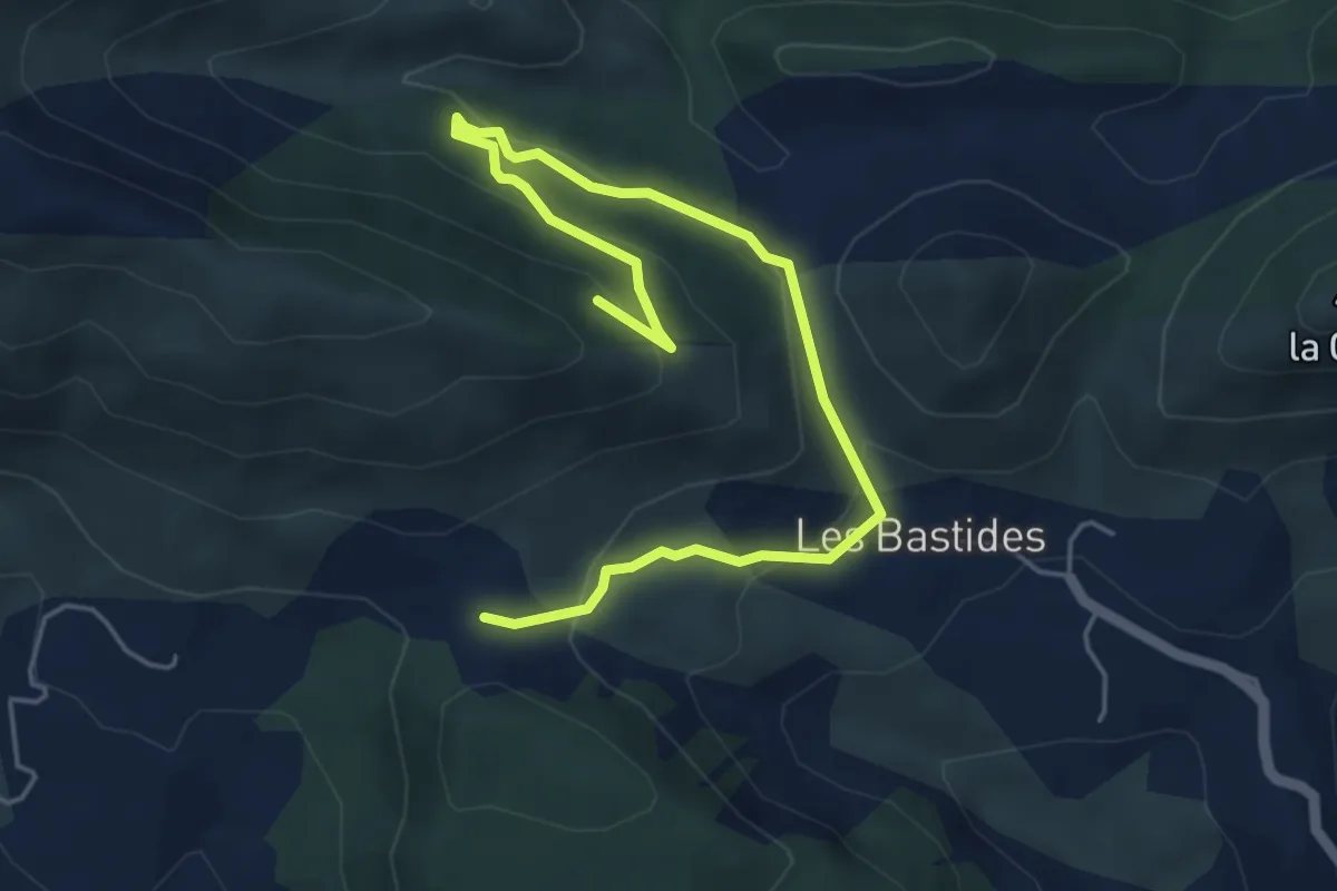
Easy · Trail
Pierre Impie
4.7 km · ↑ 225 m · 1 h 37 min · 6 km away
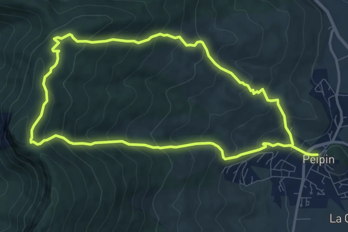
Easy · Trail
Sentier de la biodiversité "Des Grandes Terres"
3.2 km · ↑ 105 m · 1 h 4 min · 6 km away
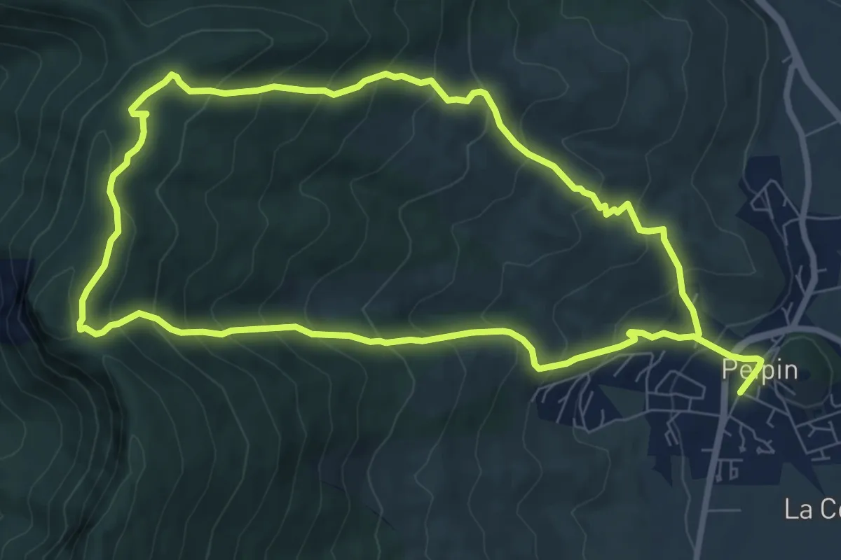
Demanding · Trail
Du Pas de Peipin au Trou du Loup
15.7 km · ↑ 1192 m · 6 h 17 min · 7 km away
Medium · Trail
Trou du Loup
7.9 km · ↑ 583 m · 3 h 15 min · 7 km away
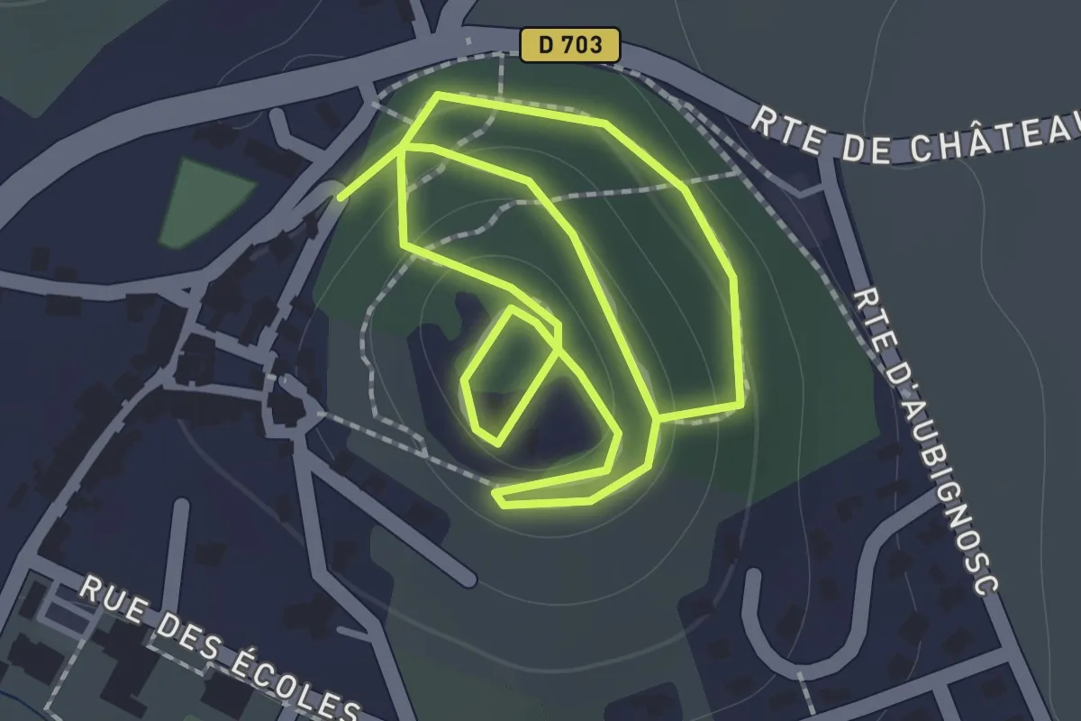
Easy · Trail
Sentier de découverte botanique
2.4 km · ↑ 73 m · 44 min · 7 km away
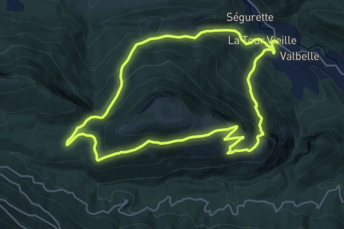
Medium · Trail
Tour de Sumiou
12.4 km · ↑ 789 m · 4 h 48 min · 7 km away
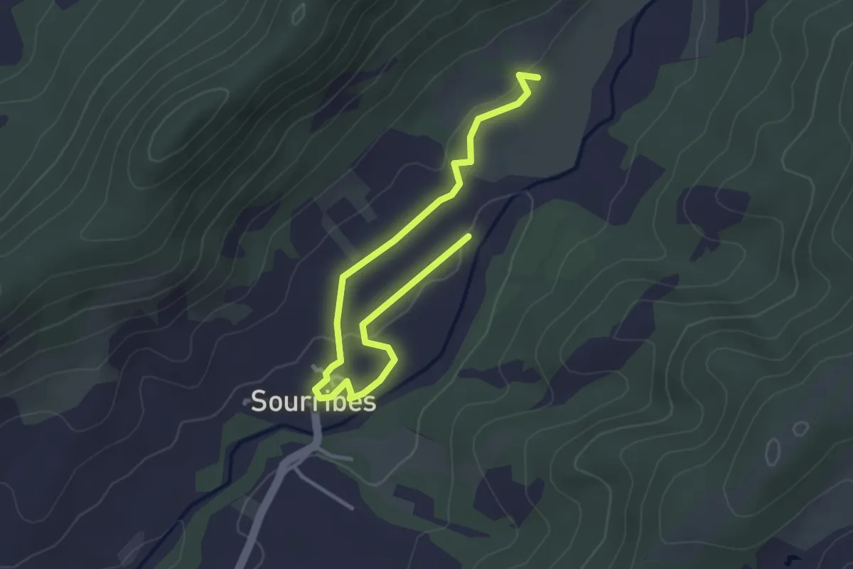
Easy · Trail
Sentier de la biodiversité "D'eau et de lumière"
2.1 km · ↑ 35 m · 35 min · 8 km away
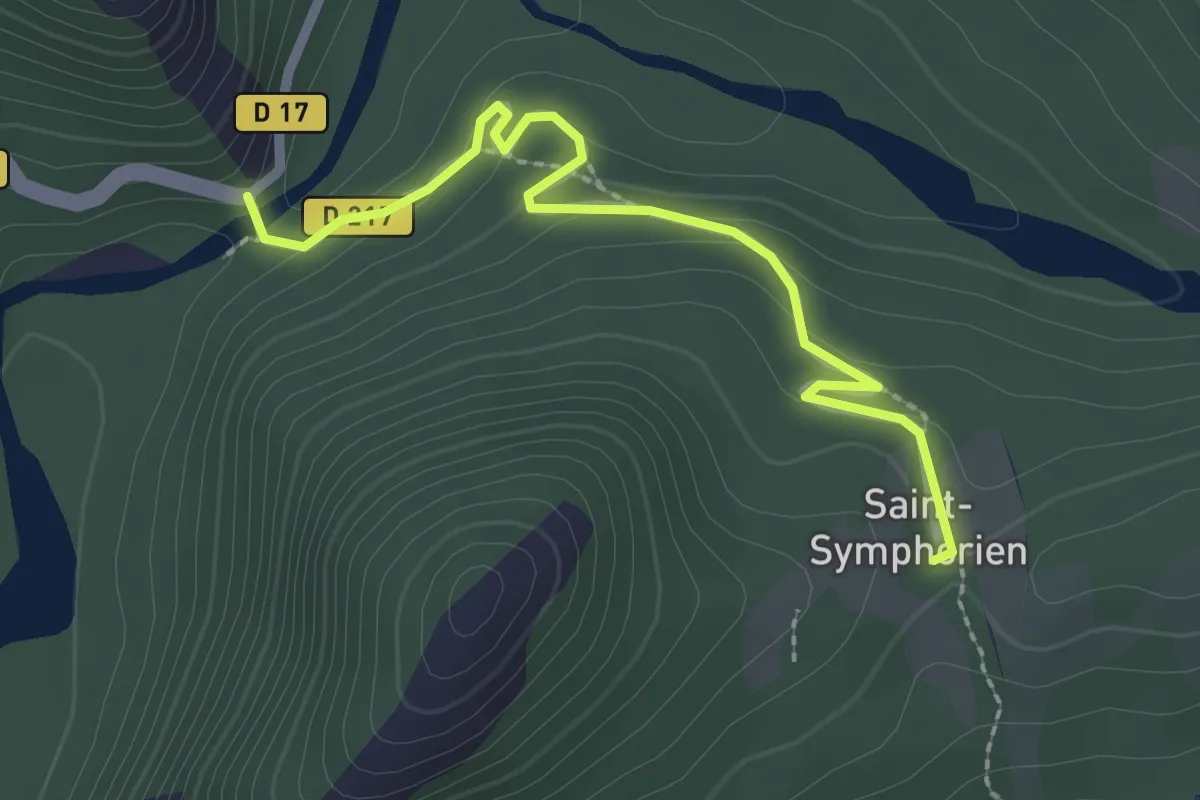
Easy · Trail
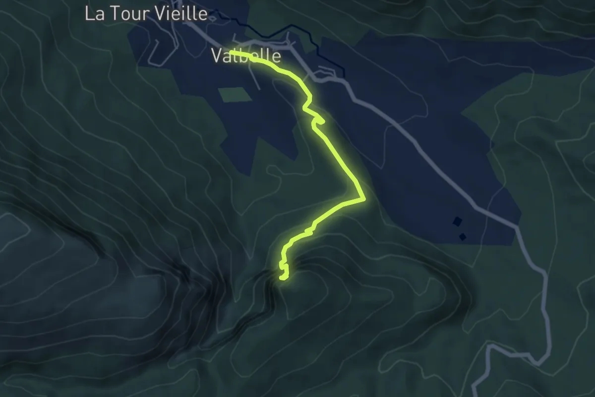
Saint-Symphorien
1.3 km · ↑ 83 m · 28 min · 8 km away
Easy · Trail
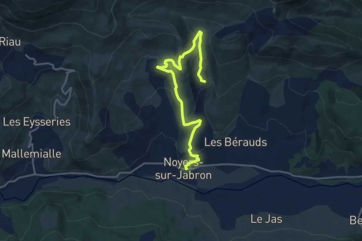
Chapelle Saint-Pons
2.5 km · ↑ 21 m · 50 min · 8 km away
Easy · Trail
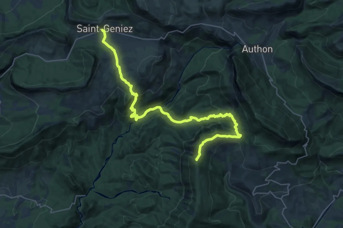
Le Vieux Noyers
5.3 km · ↑ 295 m · 1 h 53 min · 10 km away
Demanding · Summit
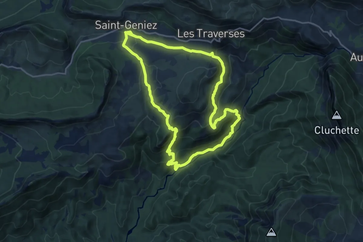
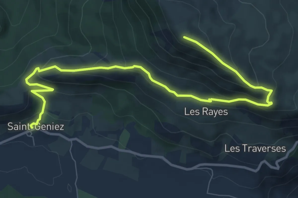
Saint-Geniez – Thoard
26.4 km · ↑ 1302 m · 9 h 3 min · 10 km away
Medium · Trail
Tour de Dromon
13.0 km · ↑ 548 m · 4 h 26 min · 10 km away
Medium · Summit
Sommet du Trainon (1 654 m)
4.7 km · ↑ 536 m · 2 h 5 min · 10 km away
Demanding · Trail
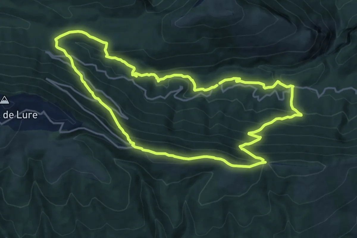
Tour du Grand Vallon par les Crêtes
14.0 km · ↑ 816 m · 5 h 16 min · 11 km away
Medium · Trail
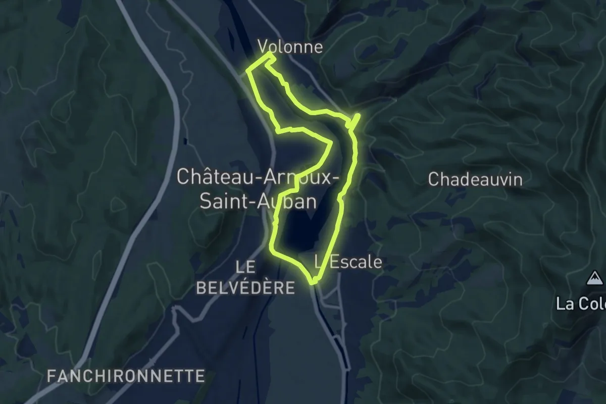
Tour du Lac
9.7 km · ↑ 67 m · 2 h 35 min · 11 km away
Medium · Trail
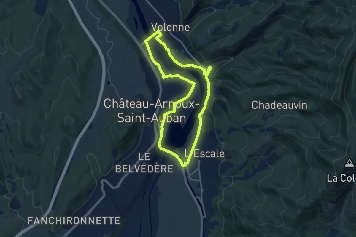
Tour du Lac
9.0 km · ↑ 53 m · 2 h 22 min · 11 km away
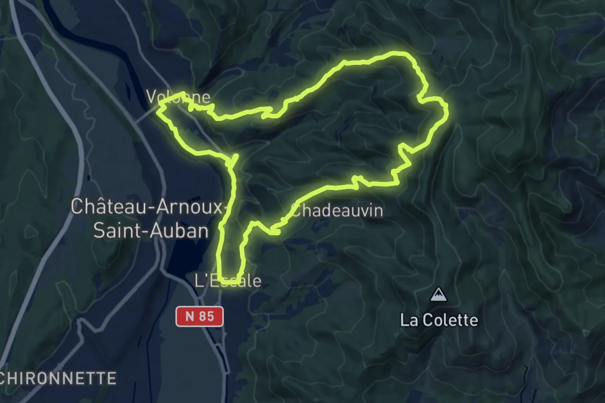
Medium · Trail
Les Balcons de la Durance
17.0 km · ↑ 669 m · 5 h 42 min · 11 km away
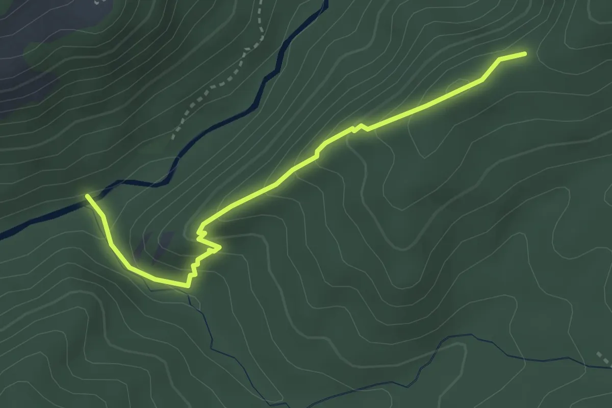
Easy · Trail
Refuge d'Art La Forest
1.7 km · ↑ 229 m · 49 min · 11 km away
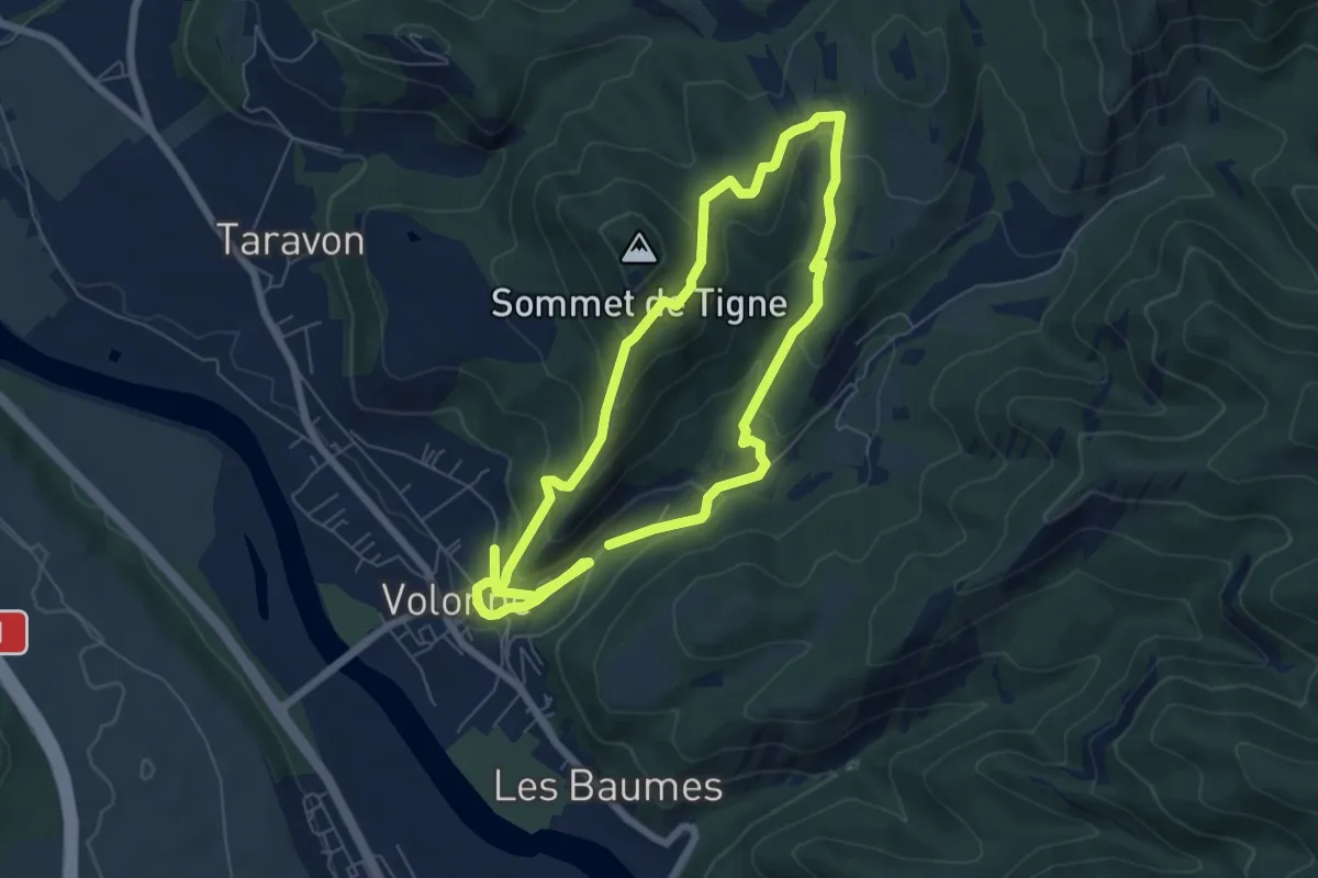
Easy · Trail
Tour de Tigne
6.2 km · ↑ 258 m · 2 h 8 min · 11 km away
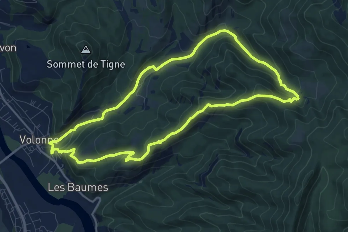
Medium · Trail
Tour de la Magdeleine
10.1 km · ↑ 455 m · 3 h 31 min · 11 km away
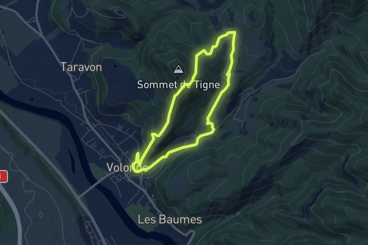
Easy · Trail
Le Tour de Tigne
6.0 km · ↑ 275 m · 2 h 6 min · 11 km away
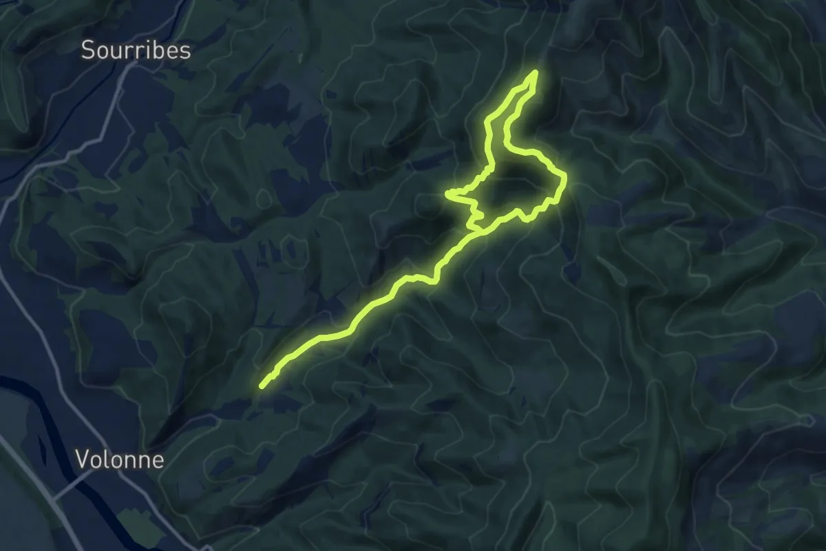
Demanding · Trail
La Chapelle Saint-Joseph par Volonne
16.7 km · ↑ 1108 m · 6 h 21 min · 11 km away
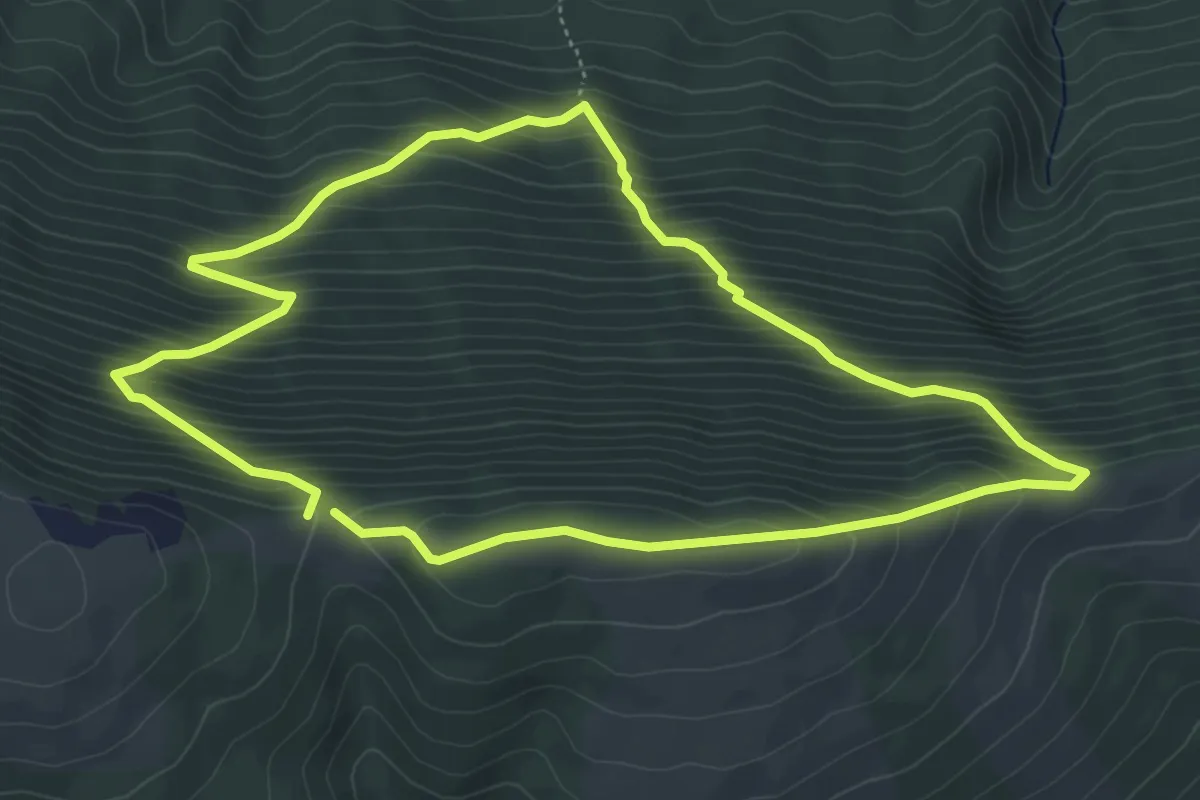
Medium · Trail
Bois de la Fayée
5.4 km · ↑ 514 m · 2 h 27 min · 11 km away
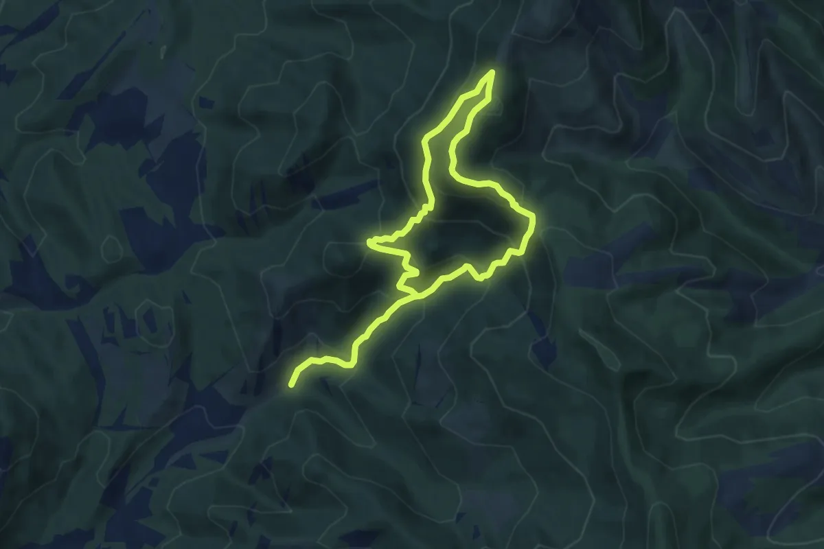
Medium · Trail
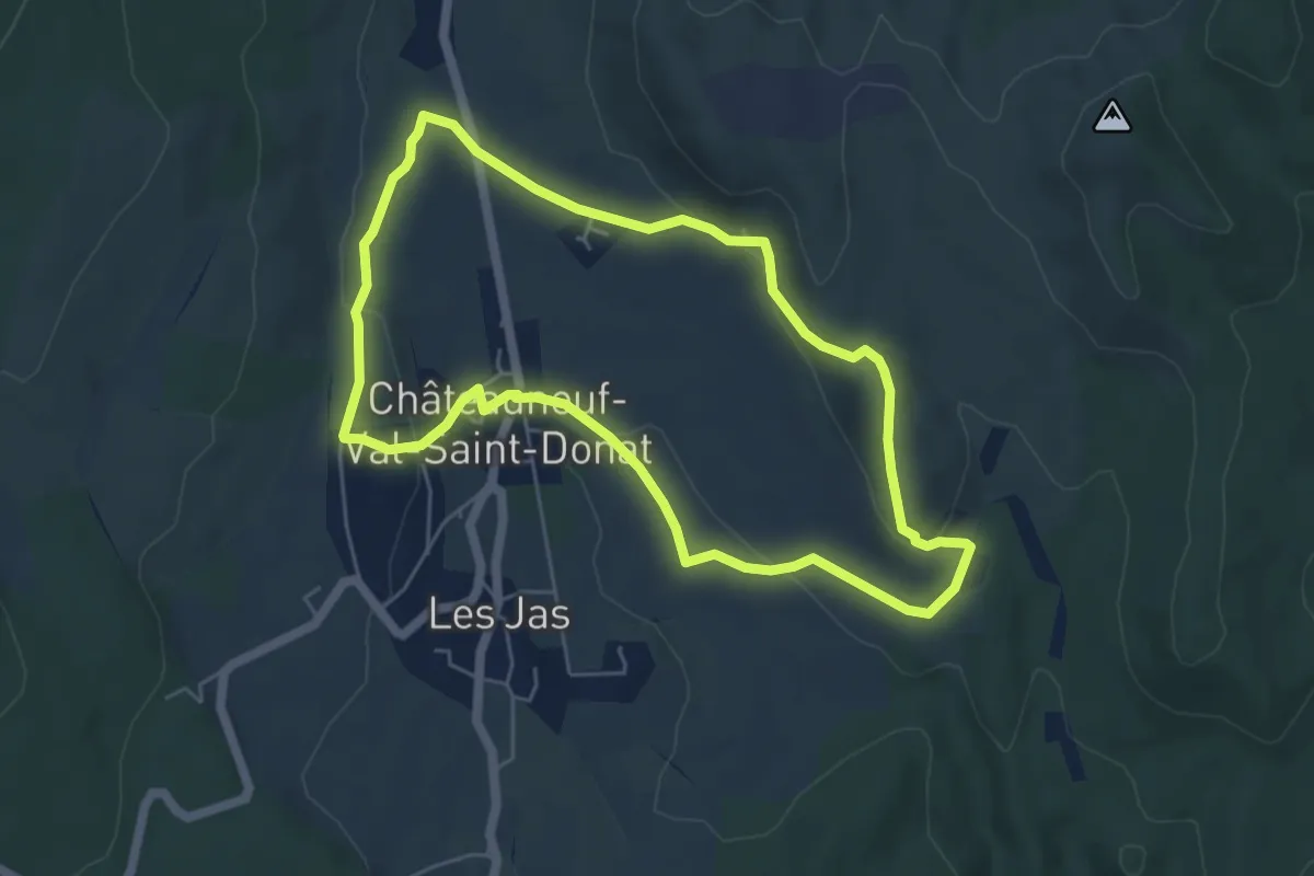
Chapelle Saint-Joseph
6.7 km · ↑ 582 m · 2 h 51 min · 11 km away
Medium · Trail
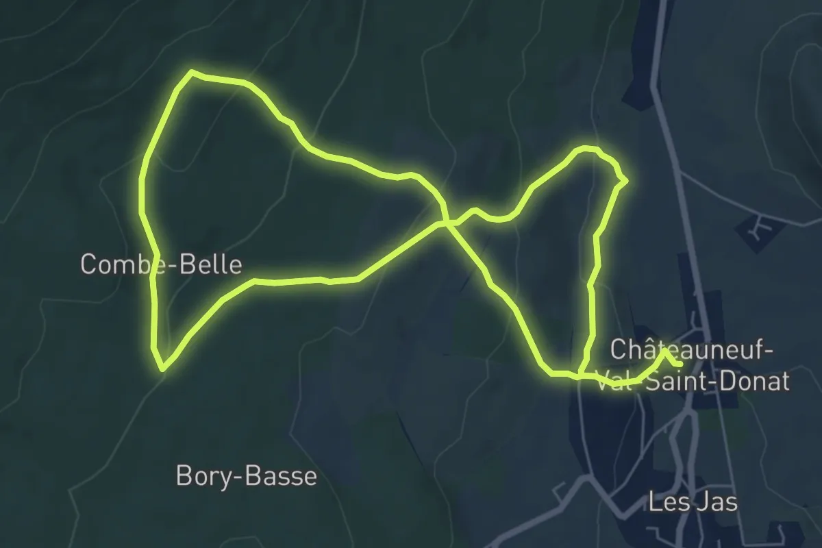
Le Vieux Village
5.5 km · ↑ 141 m · 1 h 41 min · 11 km away
Easy · Trail
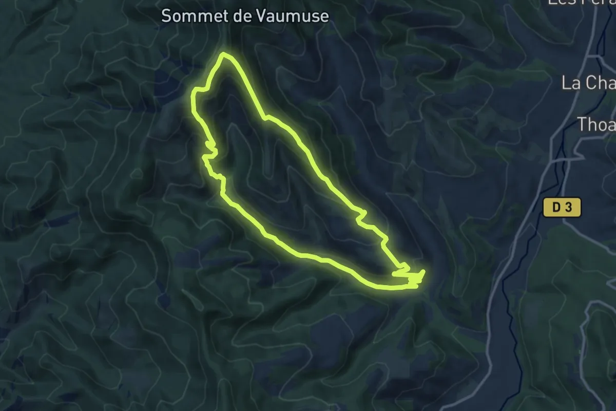
Circuit des Bories
6.8 km · ↑ 243 m · 2 h 14 min · 12 km away
Medium · Trail
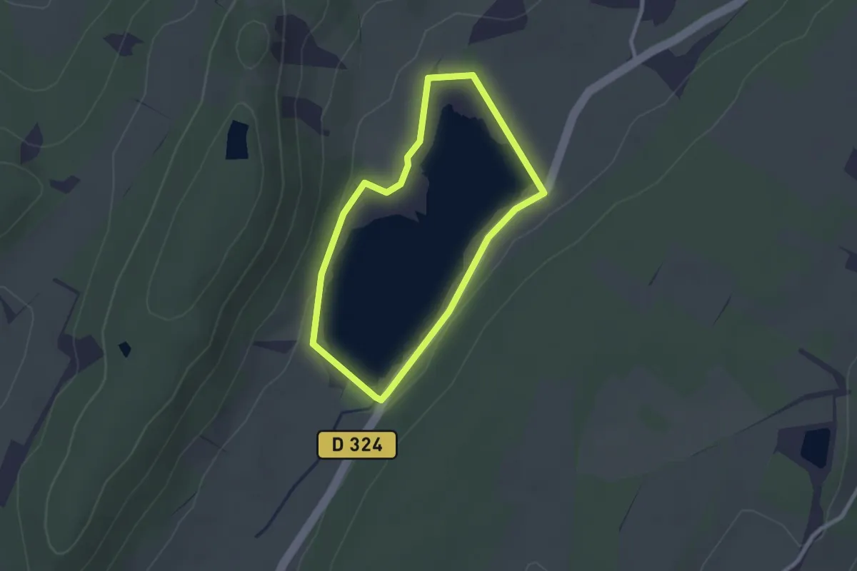
La Chapelle Saint-Joseph par Thoard
11.4 km · ↑ 615 m · 4 h 12 min · 12 km away
Easy · Trail
Lac de Mison
2.2 km · ↑ 34 m · 37 min · 12 km away
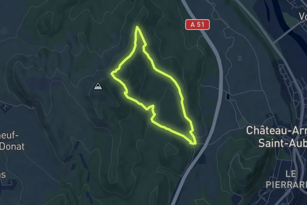
Easy · Trail
Circuit des Bruyères
5.2 km · ↑ 183 m · 1 h 41 min · 12 km away
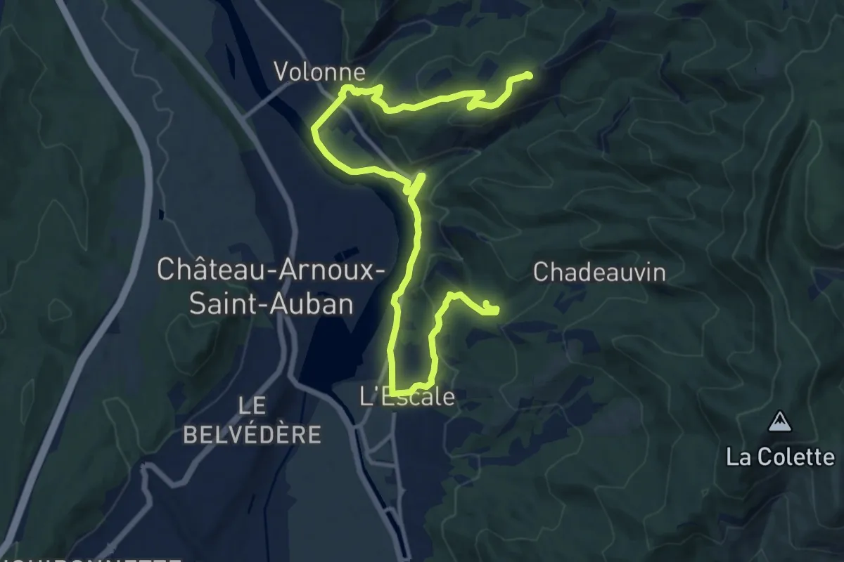
Medium · Trail
Balcons de la Durance
8.1 km · ↑ 157 m · 2 h 26 min · 12 km away
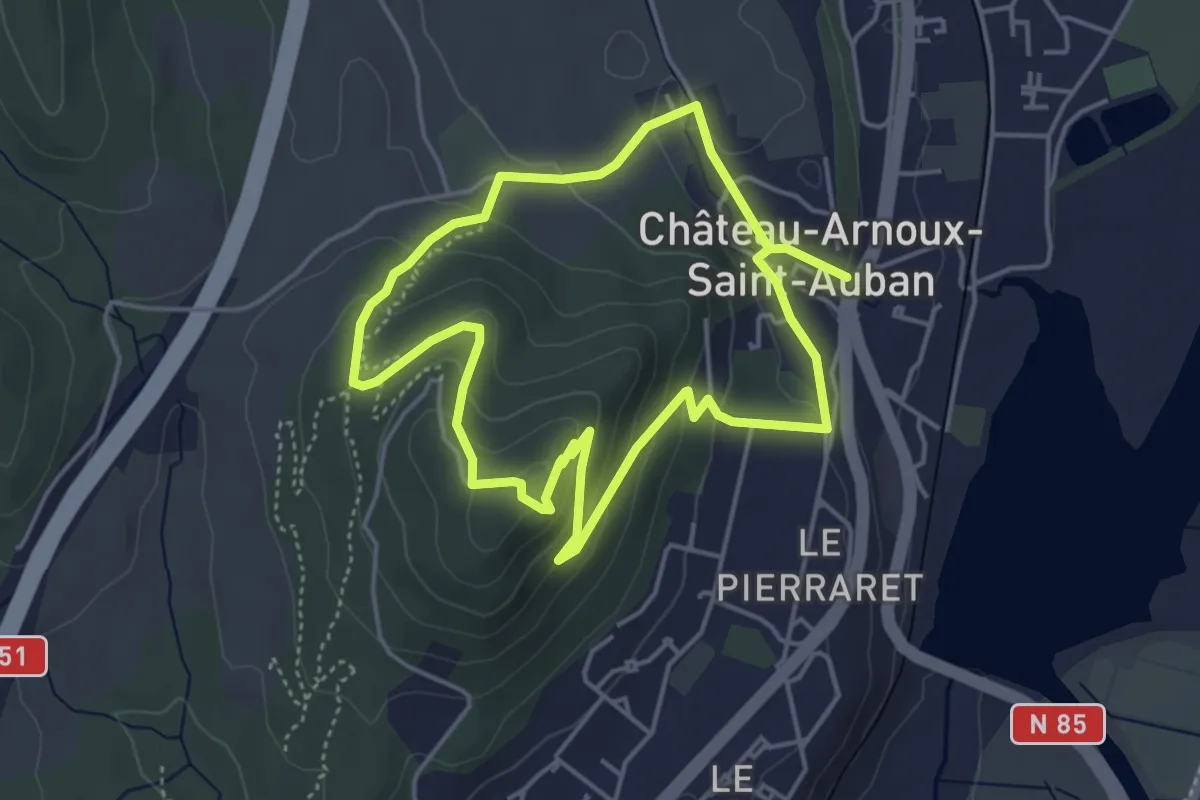
Easy · Trail
Belvédère de Saint-Jean
4.3 km · ↑ 176 m · 1 h 28 min · 12 km away
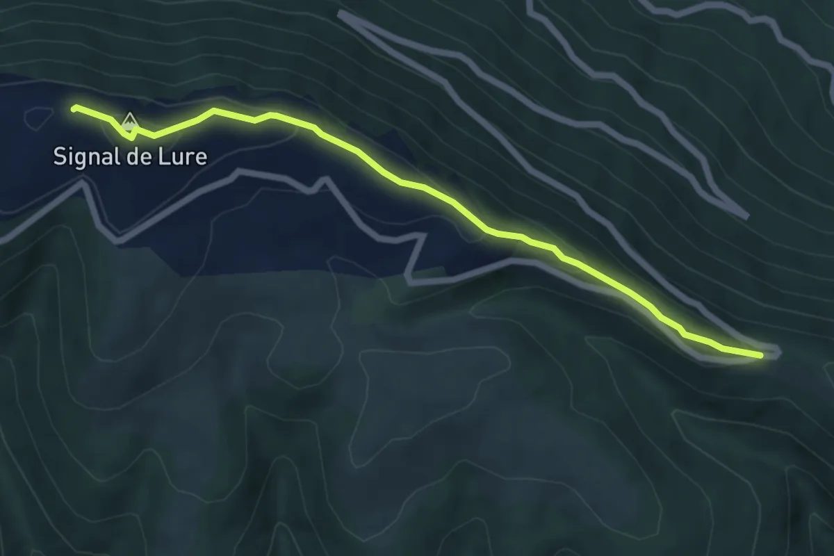
Easy · Summit
Sentier des planètes (version longue)
2.9 km · ↑ 233 m · 1 h 8 min · 13 km away
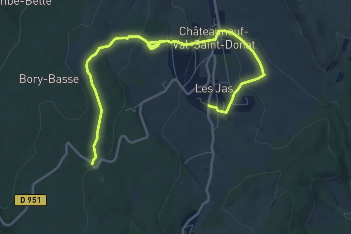
Easy · Trail
Sentier de la biodiversité "Histoires de pierres"
4.6 km · ↑ 85 m · 1 h 22 min · 13 km away
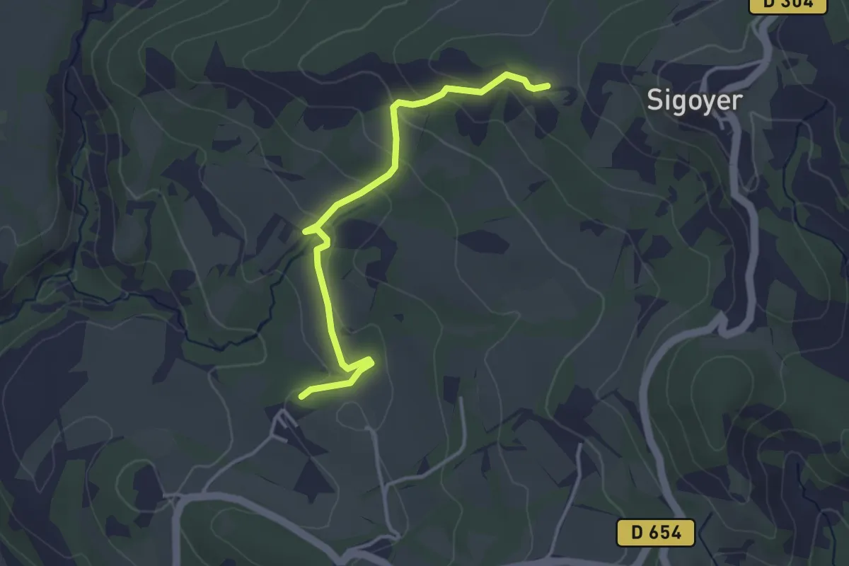
Easy · Trail
GP La Corpatasse <> GP Les Sagnières
3.5 km · ↑ 146 m · 1 h 9 min · 13 km away
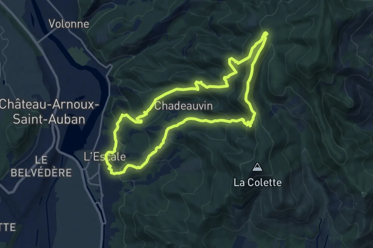
Medium · Summit
La Rouerie
12.8 km · ↑ 702 m · 4 h 43 min · 14 km away
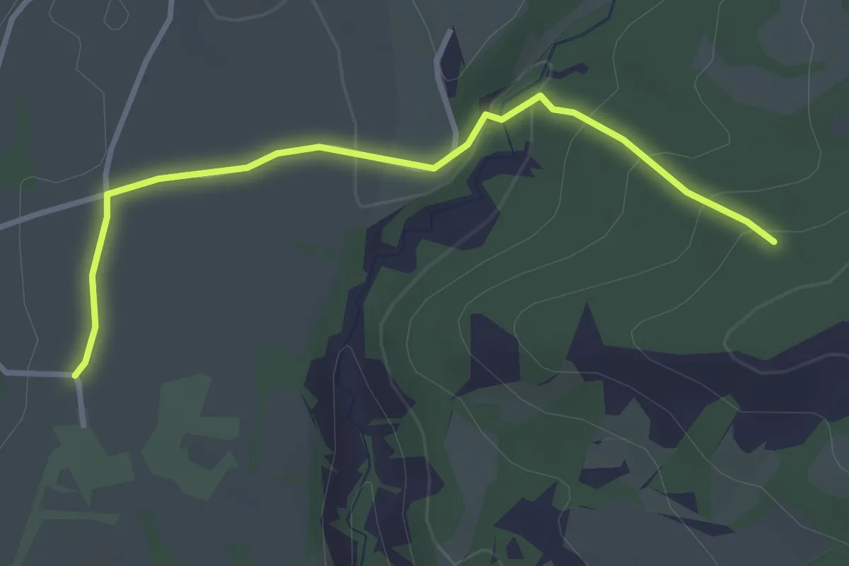
Easy · Trail
GP Route de Thèze <> GP Chantemerle
3.2 km · ↑ 91 m · 58 min · 14 km away
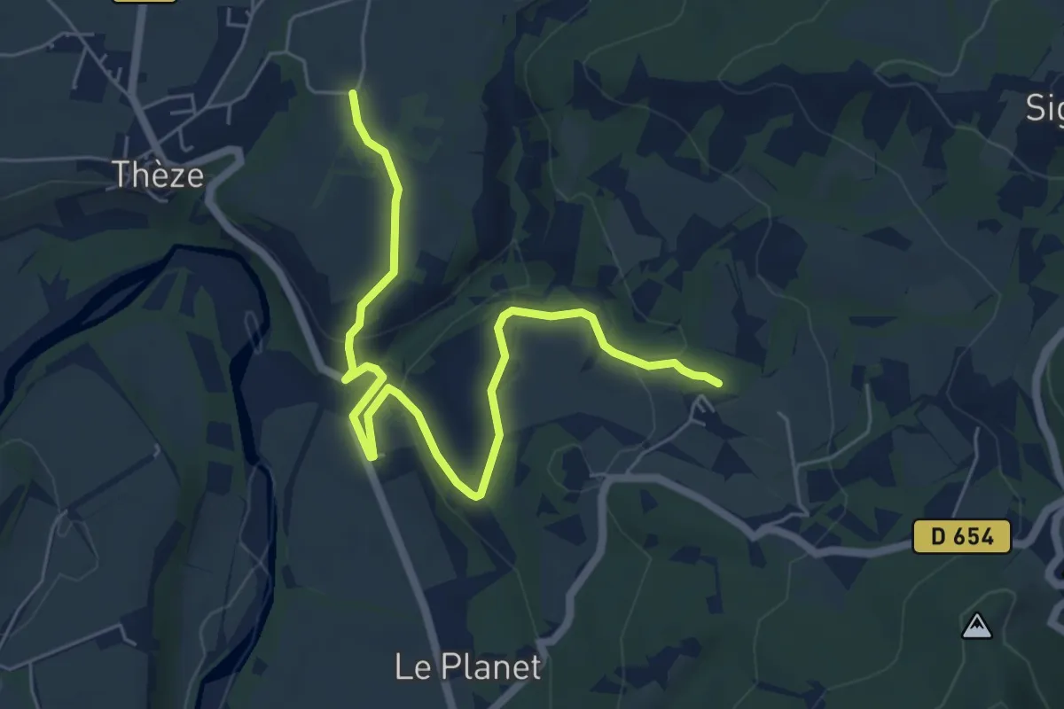
Easy · Trail
GP Les Saganières to GP Route de Thèze
6.9 km · ↑ 203 m · 2 h 4 min · 14 km away
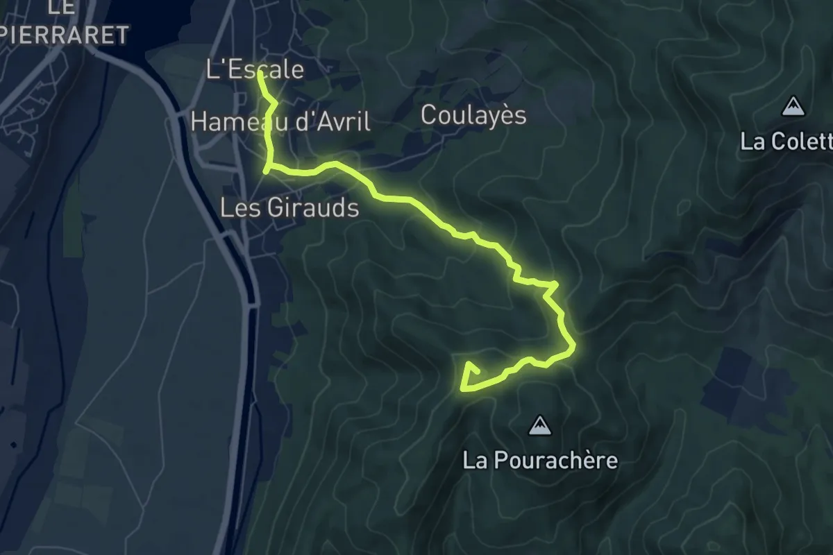
Medium · Summit
Saint-Pierre
8.5 km · ↑ 403 m · 2 h 53 min · 14 km away
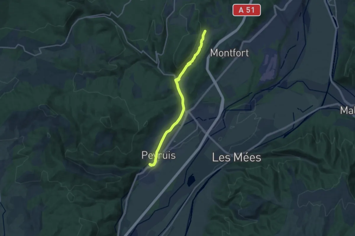
Medium · Trail
Via Domitia (variante)
12.3 km · ↑ 260 m · 3 h 28 min · 14 km away
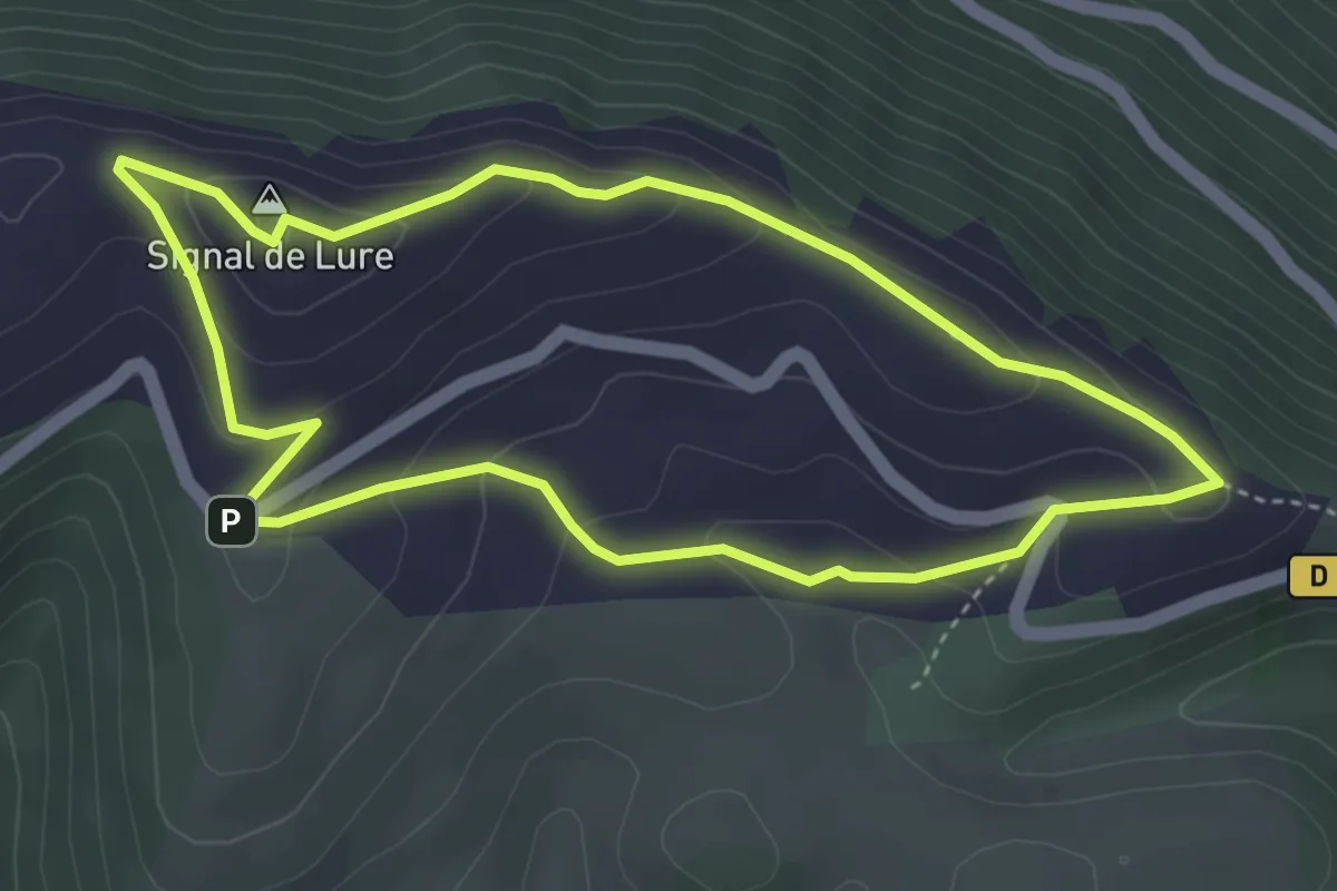
Easy · Summit
Sur les crêtes de Lure
3.9 km · ↑ 177 m · 1 h 22 min · 14 km away