Trails near Sommières
19 hikes starting within 15 km, nearest first.
Nearest first
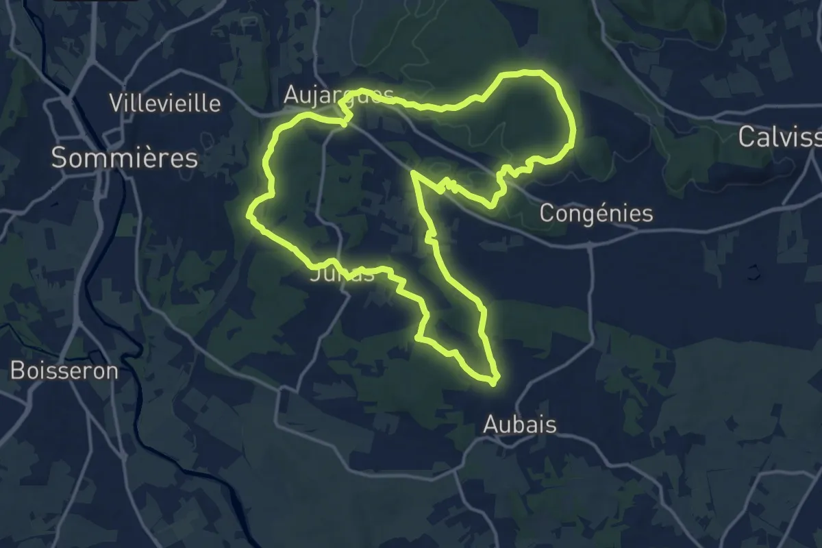
Medium · Trail
Le Chemin des Oliviers
16.4 km · ↑ 164 m · 4 h 27 min · 3 km away
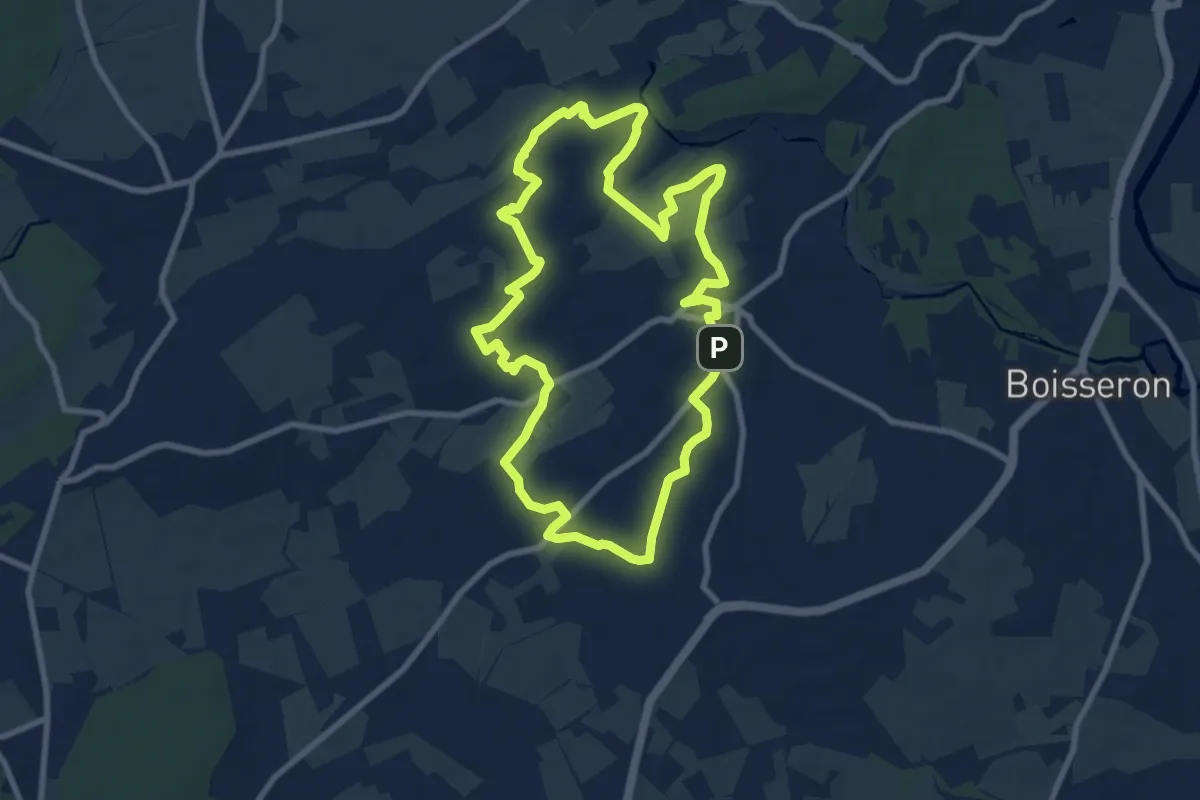
Medium · Trail
Capitelles de la Bénovie
9.2 km · ↑ 52 m · 2 h 24 min · 4 km away
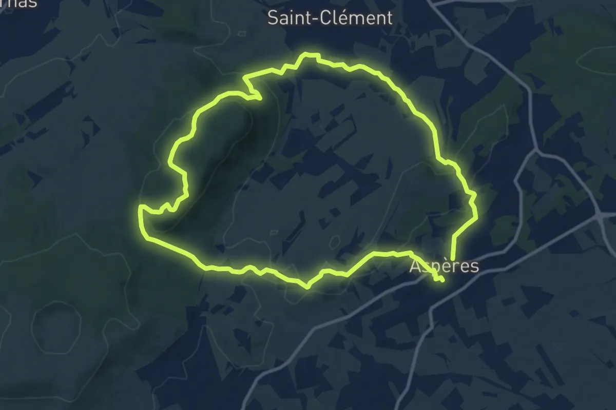
Demanding · Trail
Le bois de Paris
20.4 km · ↑ 449 m · 5 h 47 min · 5 km away
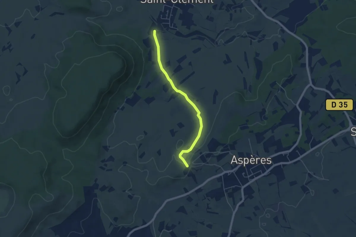
Easy · Trail
Variante PR 47
2.5 km · ↑ 0 m · 38 min · 6 km away
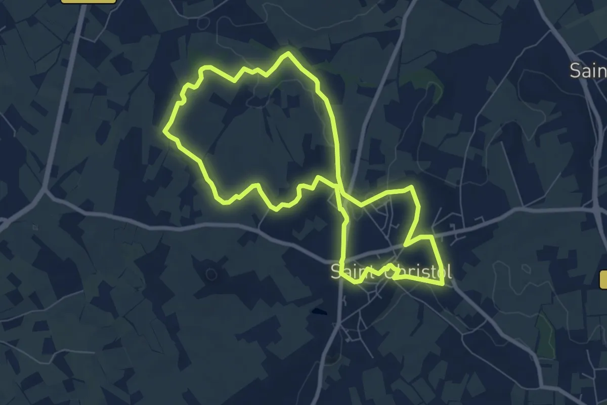
Easy · Trail
Coteaux de Saint-Christol
7.6 km · ↑ 82 m · 2 h 4 min · 6 km away
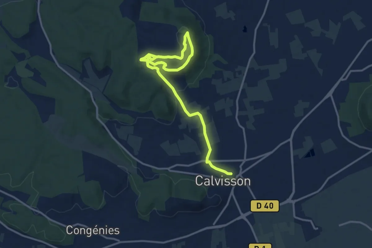
Medium · Trail
La balade du Coucou
12.4 km · ↑ 212 m · 3 h 23 min · 7 km away
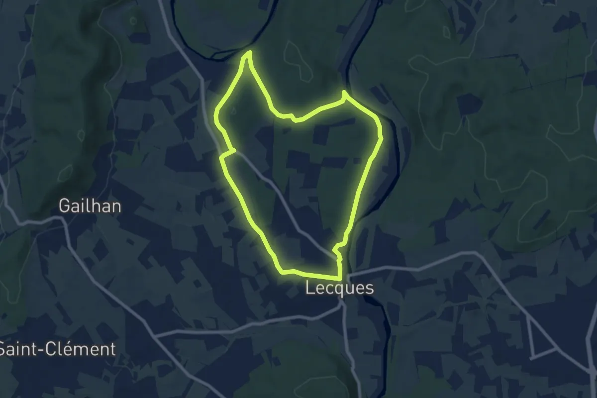
Easy · Trail
Lecques de l'eau à la roche
6.9 km · ↑ 67 m · 1 h 53 min · 8 km away
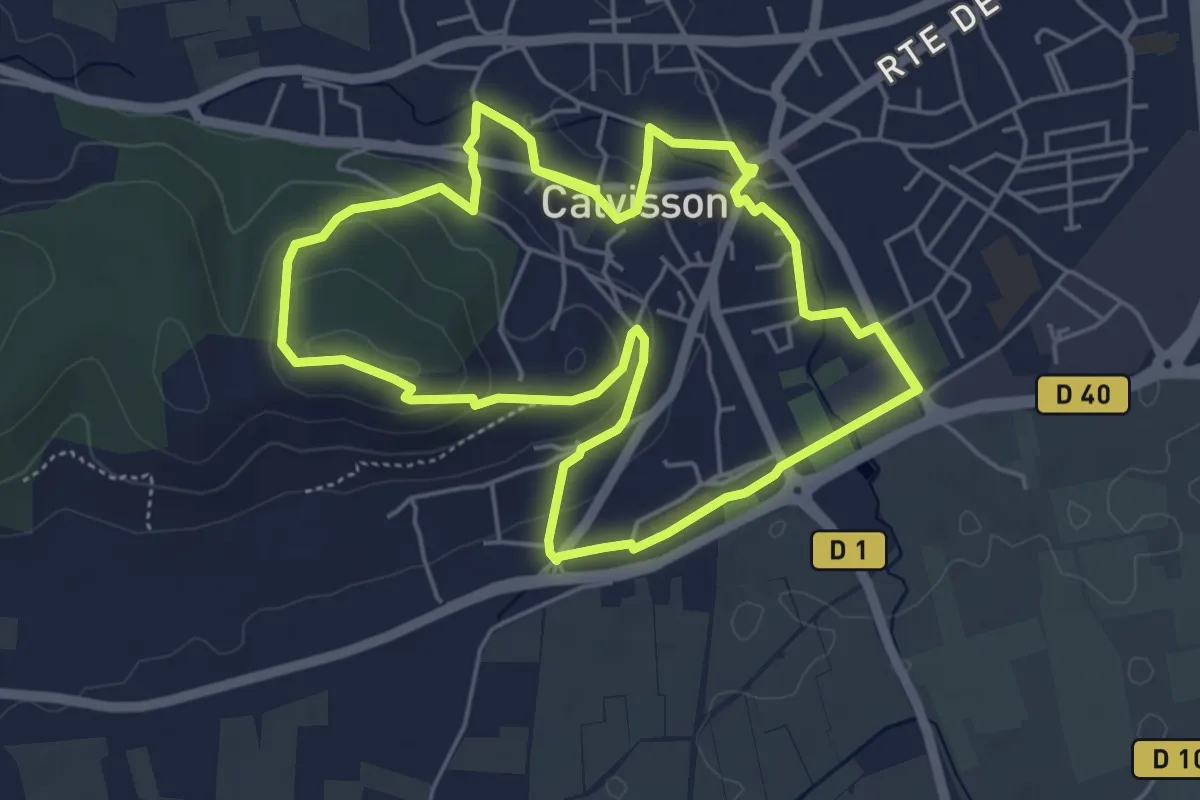
Medium · Trail
De la cave aux moulins
11.3 km · ↑ 230 m · 3 h 10 min · 9 km away
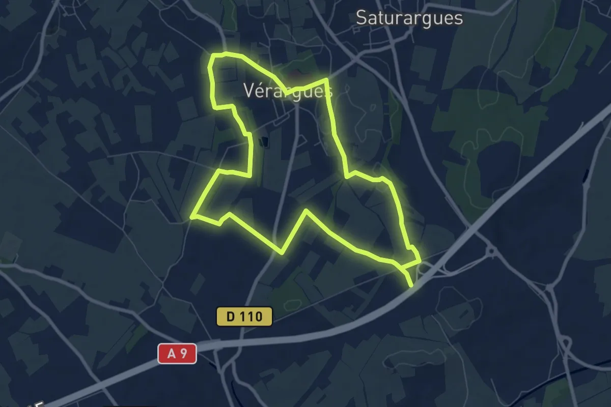
Medium · Trail
Chateaux du Muscat de Lunel
15.9 km · ↑ 94 m · 3 h 58 min · 9 km away
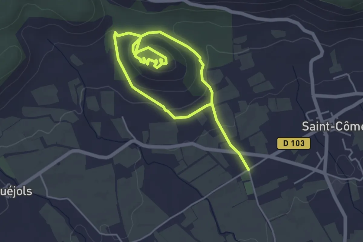
Easy · Trail
Serre de Mouressipe
6.6 km · ↑ 194 m · 1 h 58 min · 10 km away
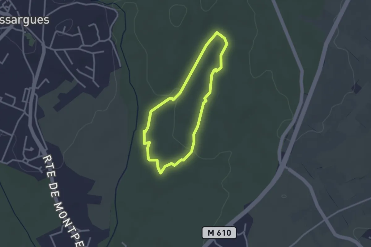
Easy · Trail
Reganhat
2.3 km · ↑ 13 m · 37 min · 10 km away
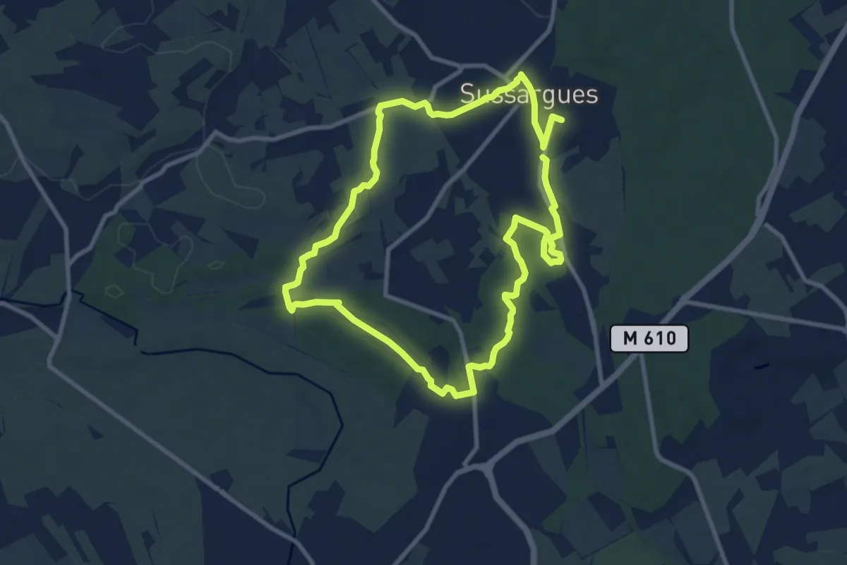
Medium · Trail
Les Quatre carrières
17.7 km · ↑ 133 m · 4 h 28 min · 11 km away
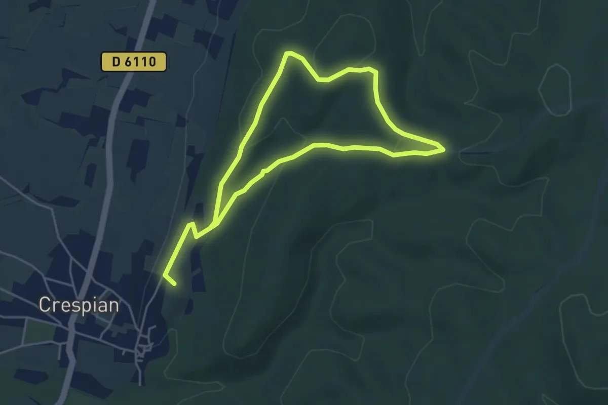
Easy · Summit
Entre rivière et bois
7.7 km · ↑ 184 m · 2 h 13 min · 12 km away
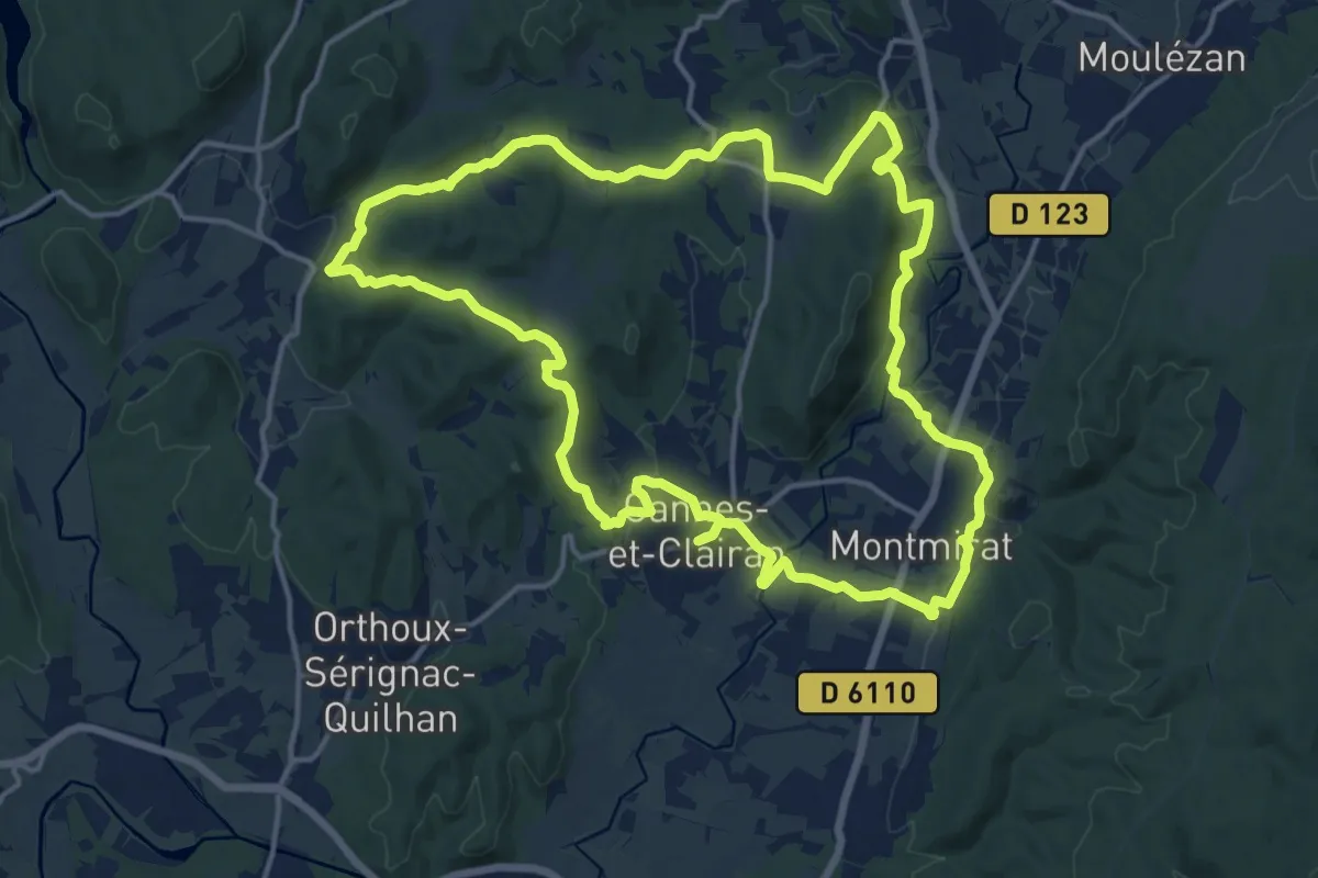
Medium · Trail
Le sentier du terroir
17.3 km · ↑ 383 m · 5 h 10 min · 13 km away
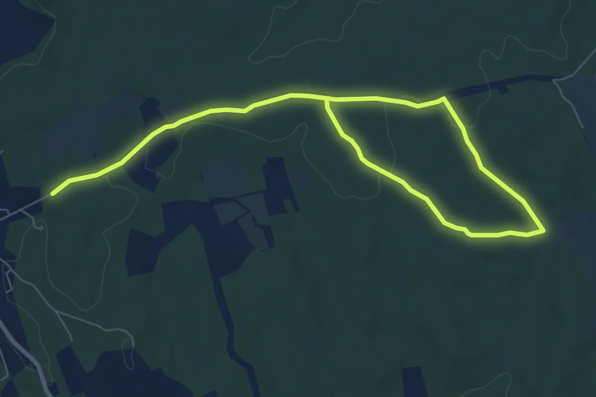
Medium · Trail
Les Capitelles
10.1 km · ↑ 116 m · 2 h 38 min · 14 km away
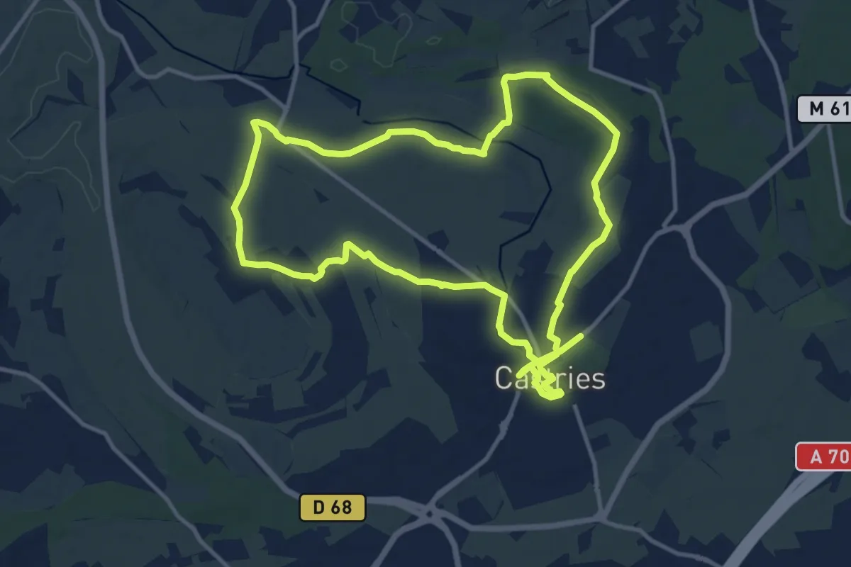
Demanding · Trail
Aqueduc de Castries
23.7 km · ↑ 136 m · 5 h 53 min · 14 km away
Easy · Trail
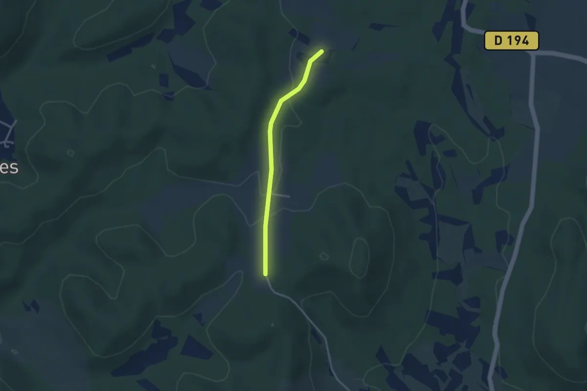
Variante PR 45 Le sentier du terroir
1.3 km · ↑ 9 m · 22 min · 14 km away
Easy · Trail
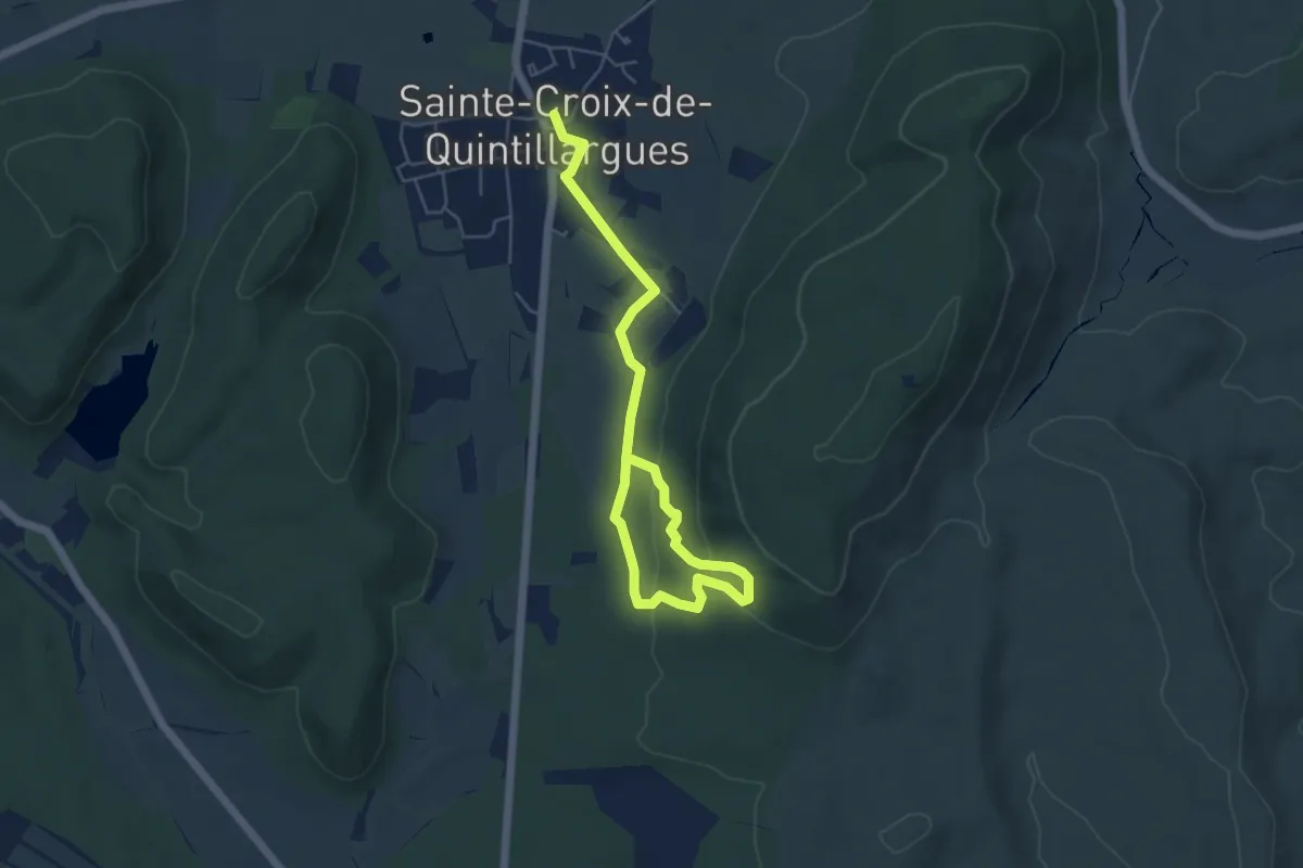
Sentier des Charbonniers
6.8 km · ↑ 207 m · 2 h 3 min · 14 km away
Easy · Trail
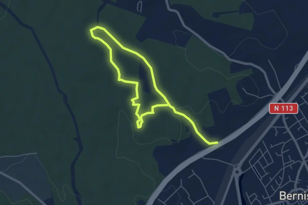
Sentier des Capitelles
7.8 km · ↑ 140 m · 2 h 9 min · 15 km away