Trails near Tarascon
18 hikes starting within 15 km, nearest first.
Nearest first
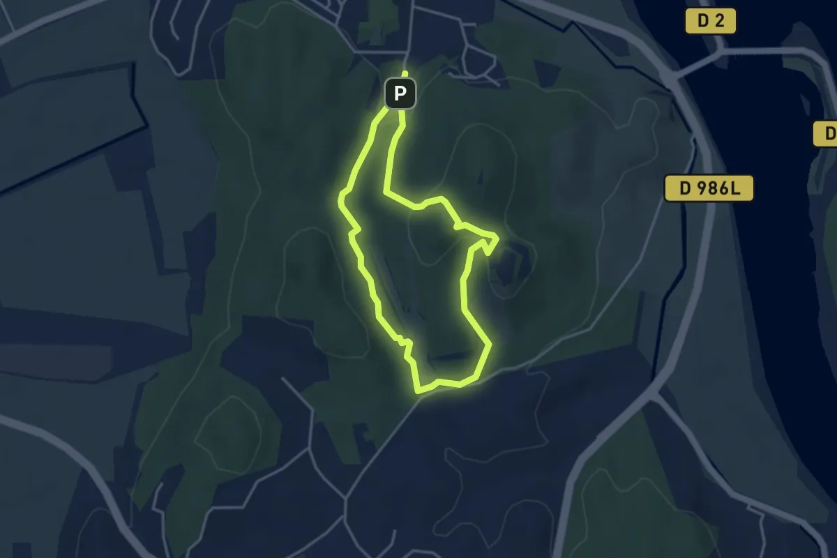
Easy · Trail
L’abbaye de Saint-Roman
3.4 km · ↑ 110 m · 1 h 6 min · 6 km away
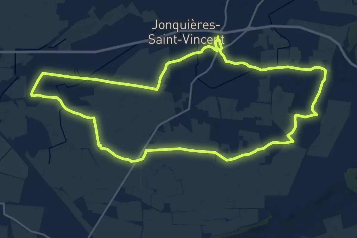
Medium · Trail
Randonnée la Voie Domitia
14.6 km · ↑ 40 m · 3 h 44 min · 8 km away
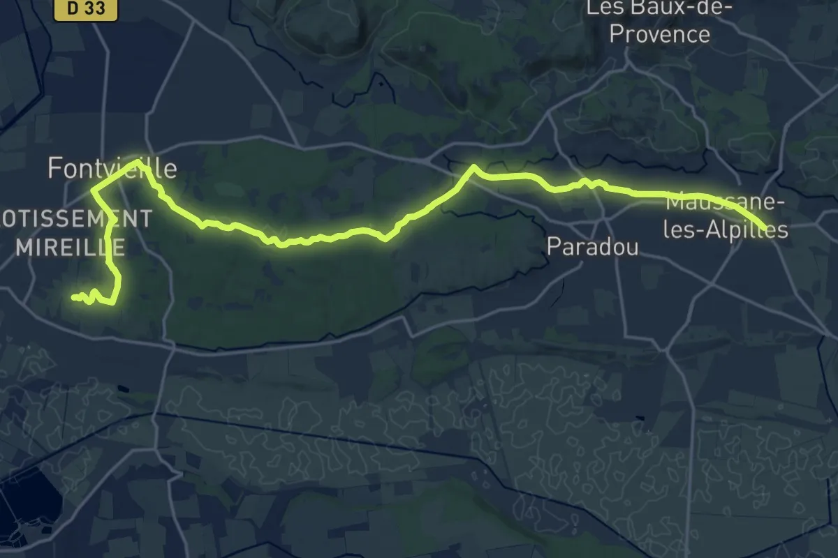
Demanding · Trail
Via Aurelia, Maussane - Fontvieille
24.8 km · ↑ 267 m · 6 h 26 min · 11 km away
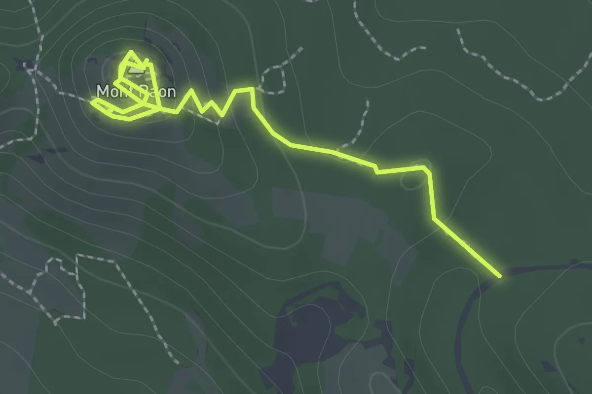
Medium · Summit
Sentier des vestiges du castrum du Mont Paon
2.8 km · ↑ 103 m · 53 min · 11 km away
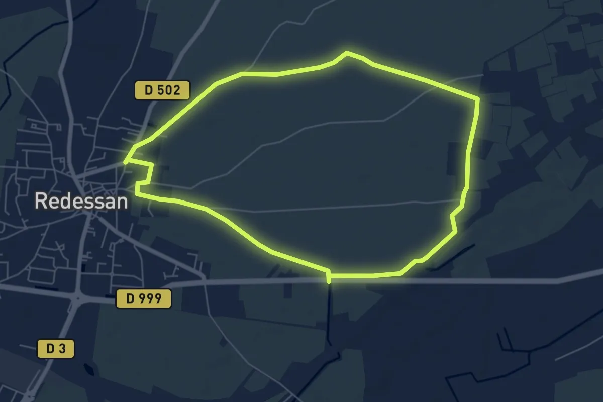
Easy · Trail
Balade autour de Redessan
6.3 km · ↑ 9 m · 1 h 36 min · 12 km away
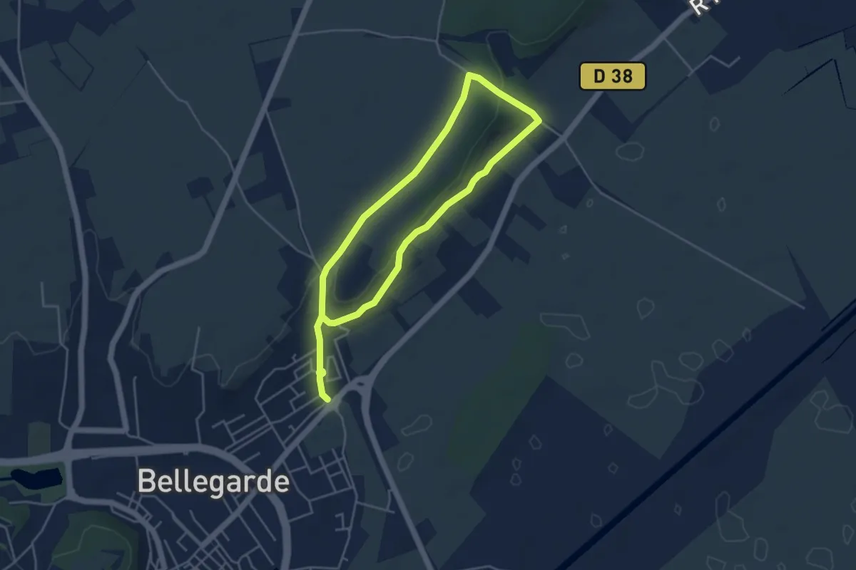
Easy · Trail
Le chemin de Saint-Jean
7.5 km · ↑ 135 m · 2 h 4 min · 12 km away
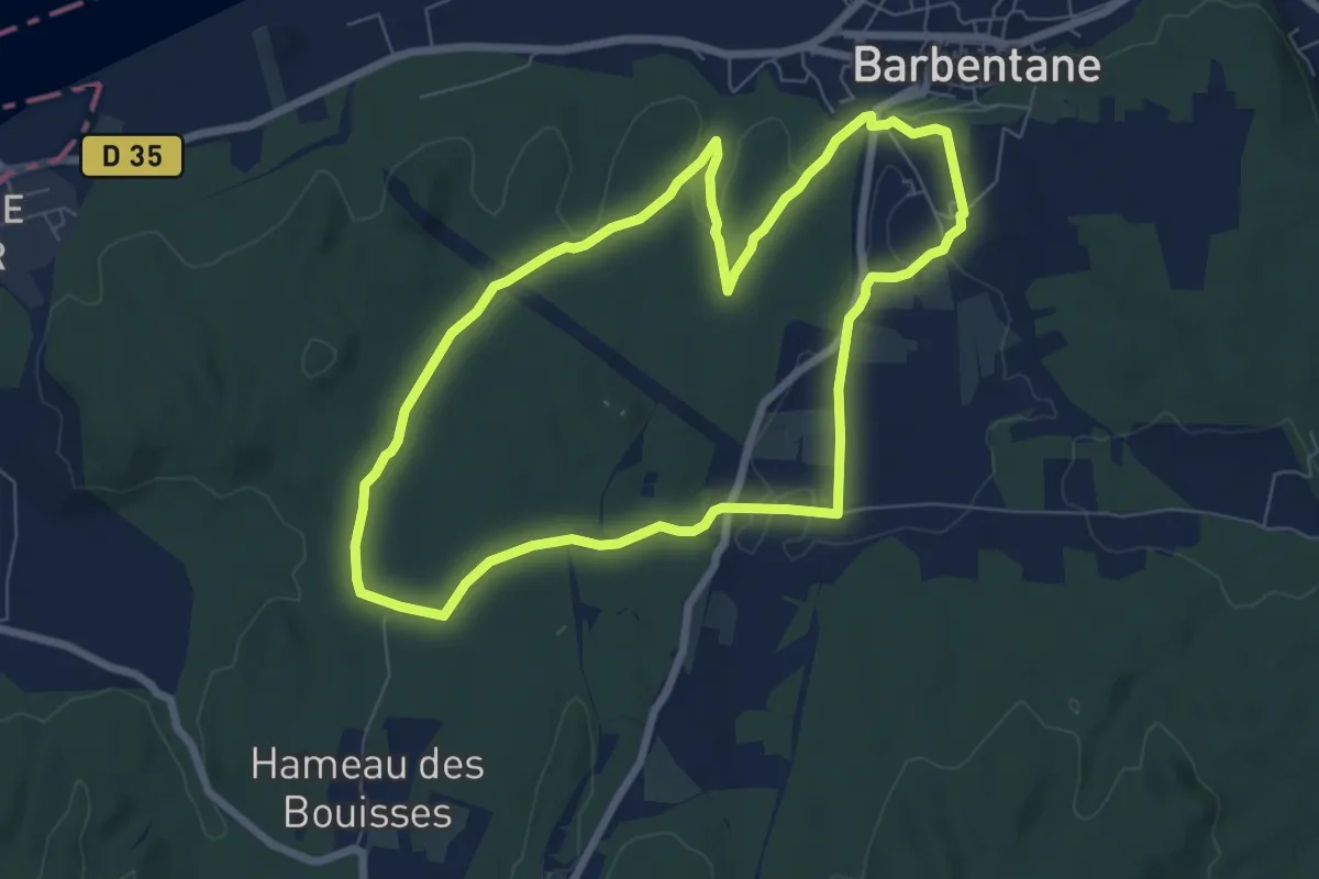
Easy · Trail
Cadenau
7.3 km · ↑ 79 m · 2 h · 12 km away
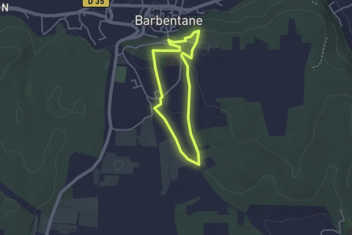
Easy · Trail
Le Mas de Bassette
2.6 km · ↑ 37 m · 43 min · 12 km away
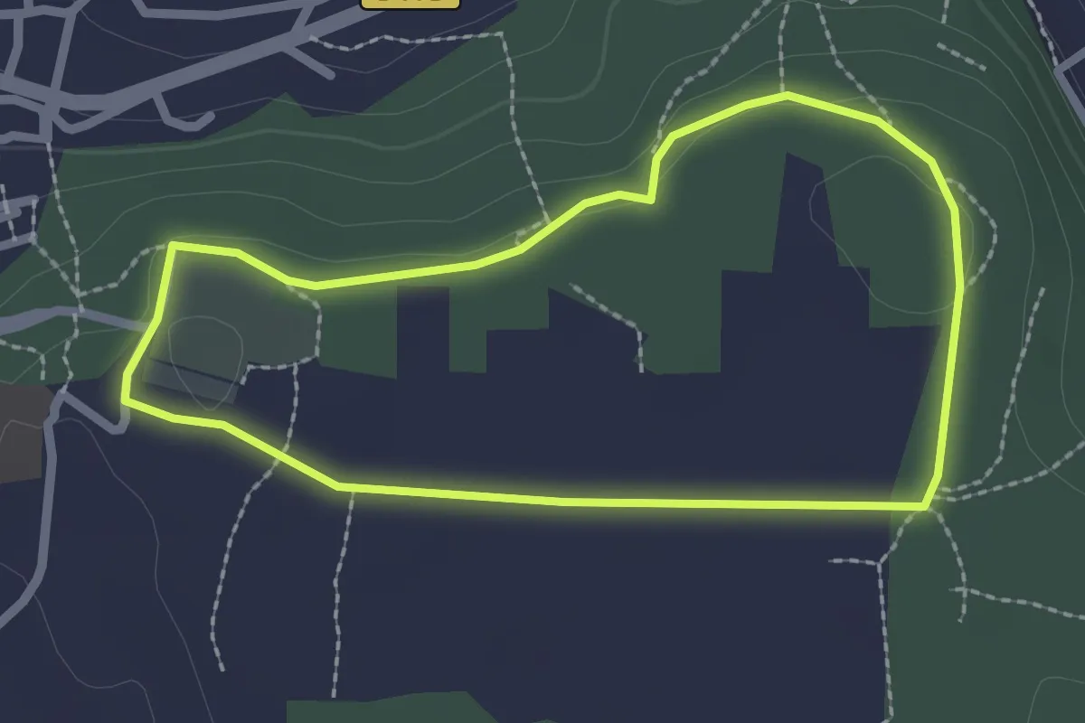
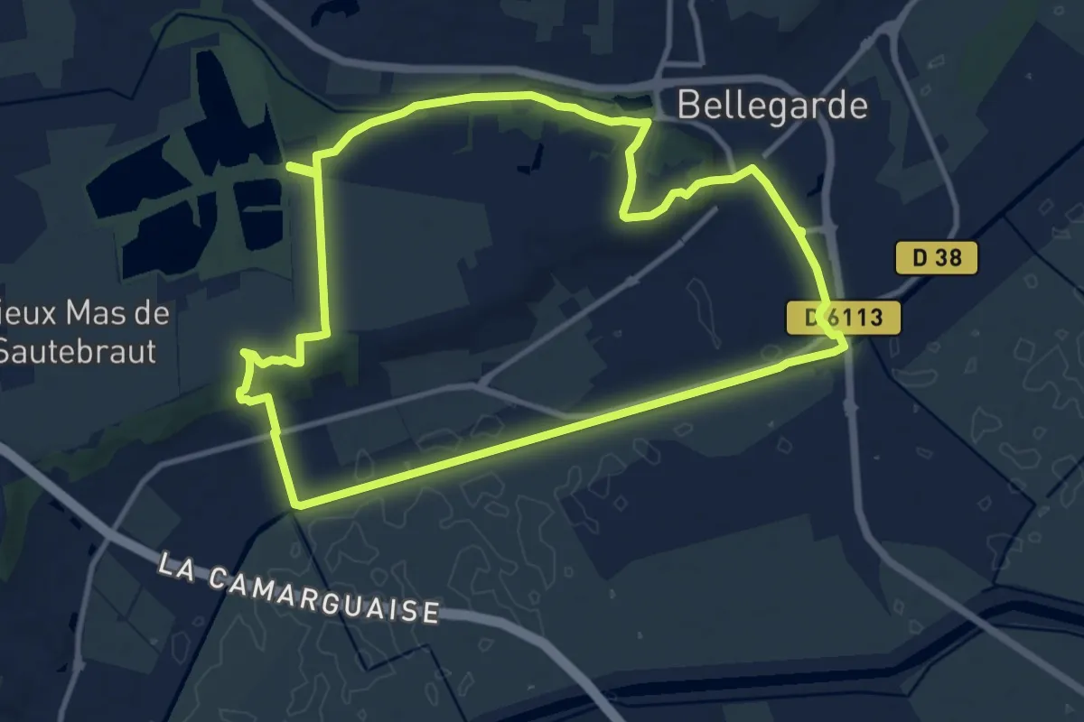
Easy · Trail
Les Espidègles
2.2 km · ↑ 27 m · 37 min · 13 km away
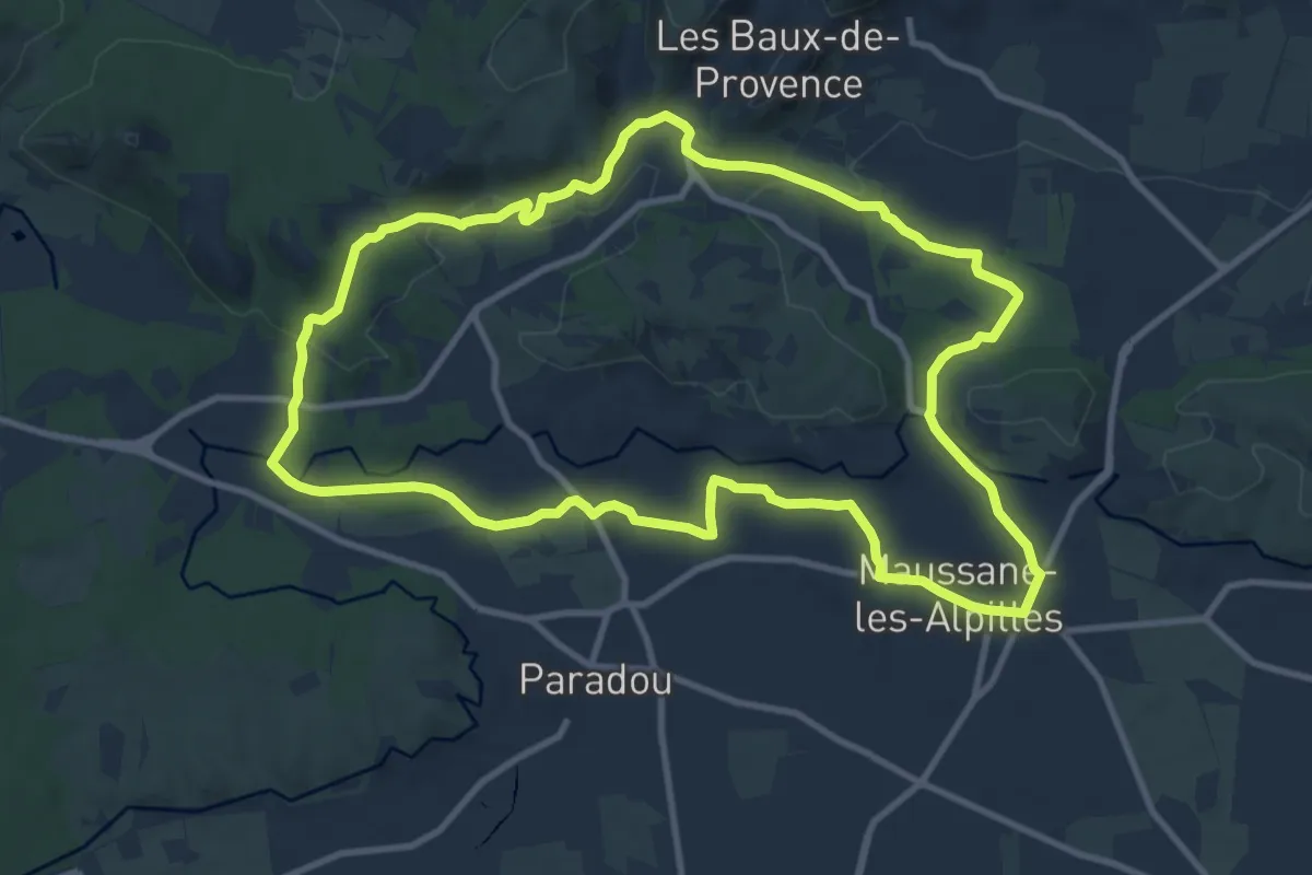
Medium · Trail
Autour de la Costière
11.7 km · ↑ 103 m · 3 h 8 min · 13 km away
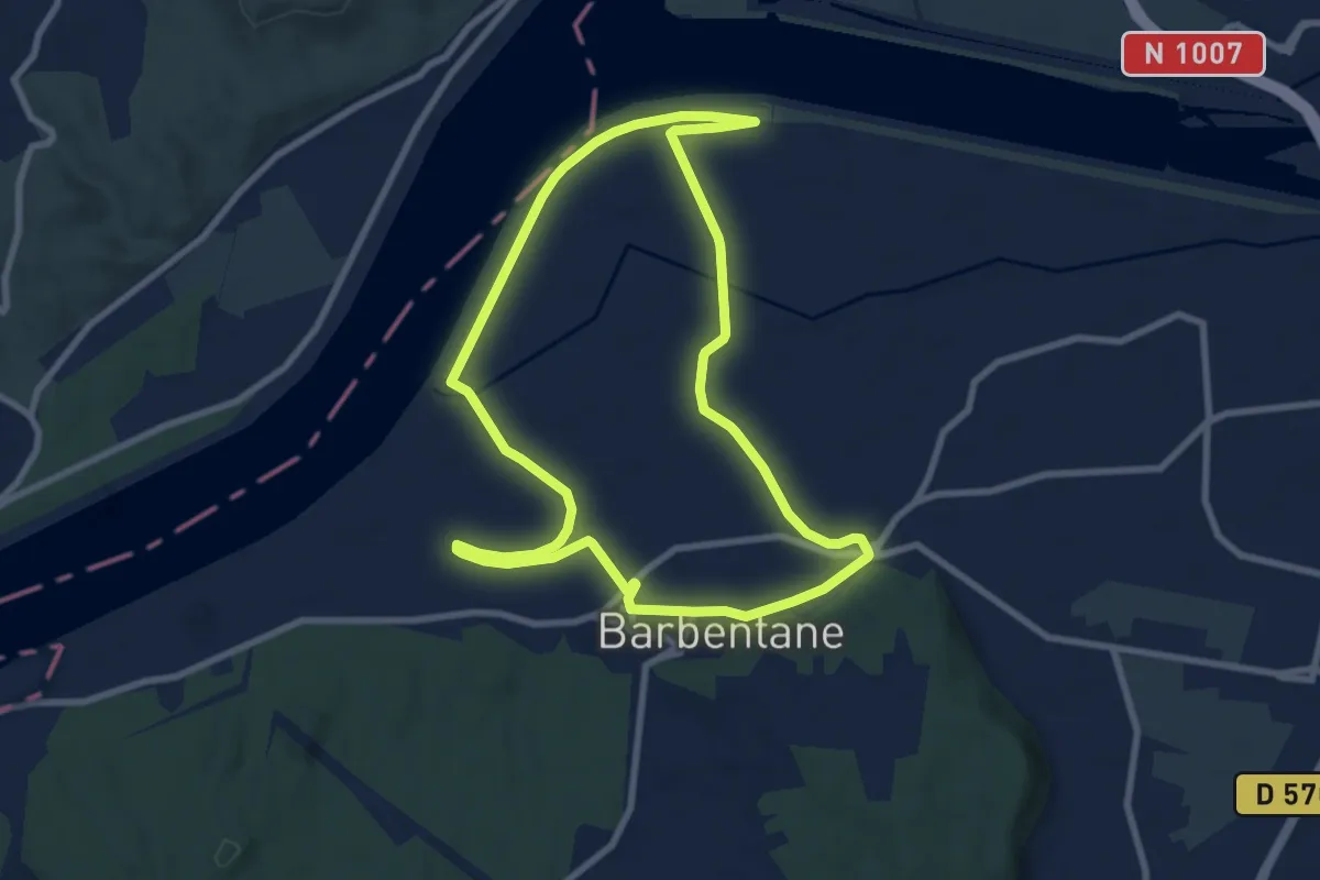
Medium · Trail
Maussane-les-Alpilles vers les Baux-de-Provence
11.4 km · ↑ 174 m · 3 h 13 min · 13 km away
Medium · Trail
Vert et Eaux
8.9 km · ↑ 26 m · 2 h 17 min · 13 km away
Easy · Trail
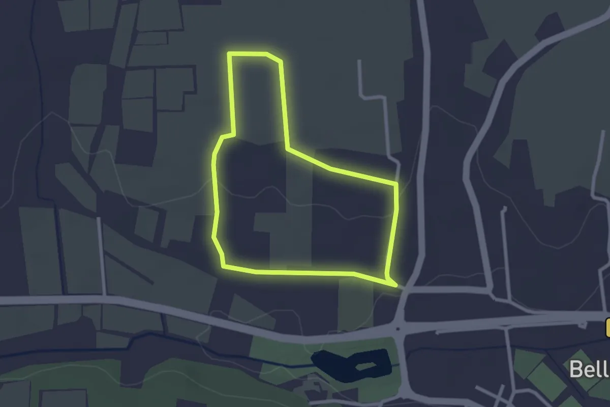
Le sentier de Rispe
2.3 km · ↑ 27 m · 38 min · 13 km away
Demanding · Trail
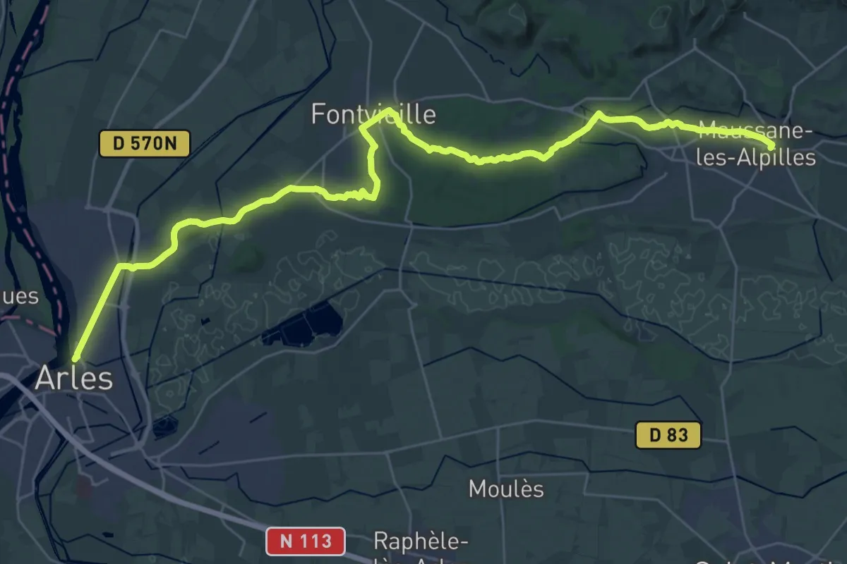
Chemin pastoral de Arles à Maussane-les-Alpilles
20.1 km · ↑ 175 m · 5 h 23 min · 14 km away
Demanding · Trail
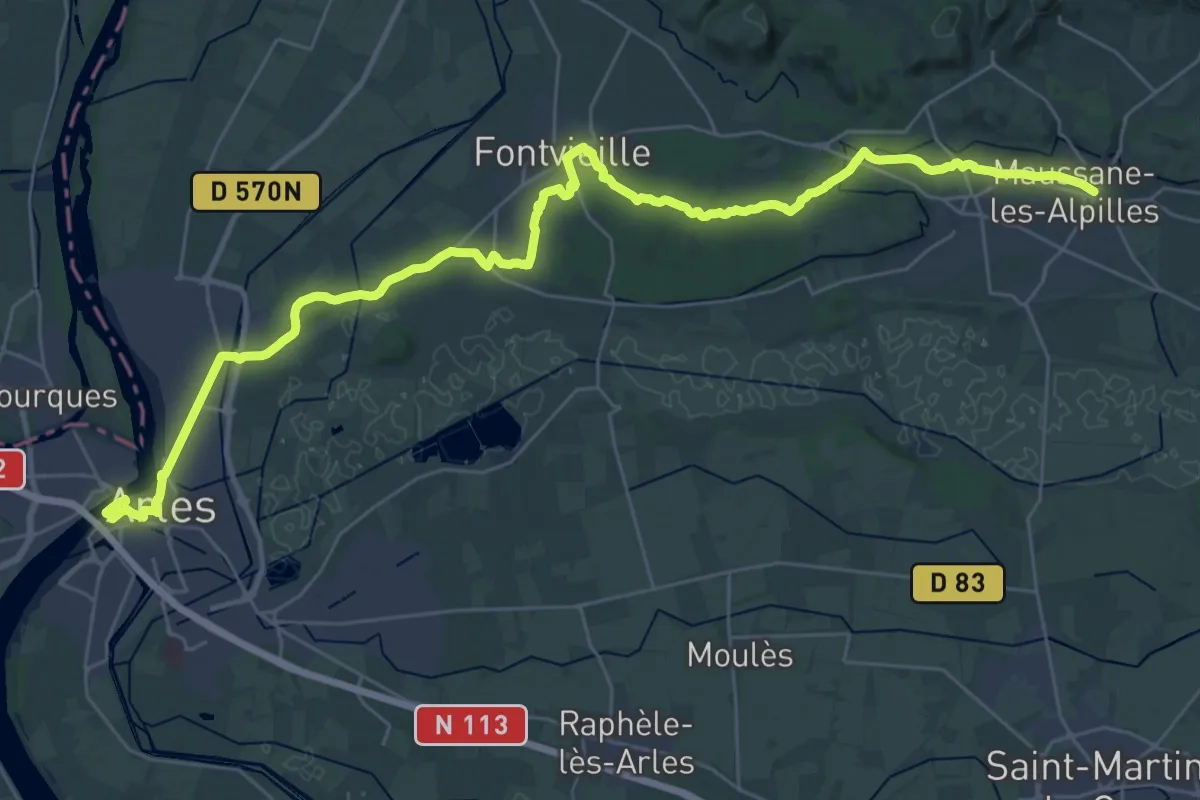
Arles – Maussane
21.8 km · ↑ 200 m · 5 h 52 min · 14 km away
Demanding · Trail
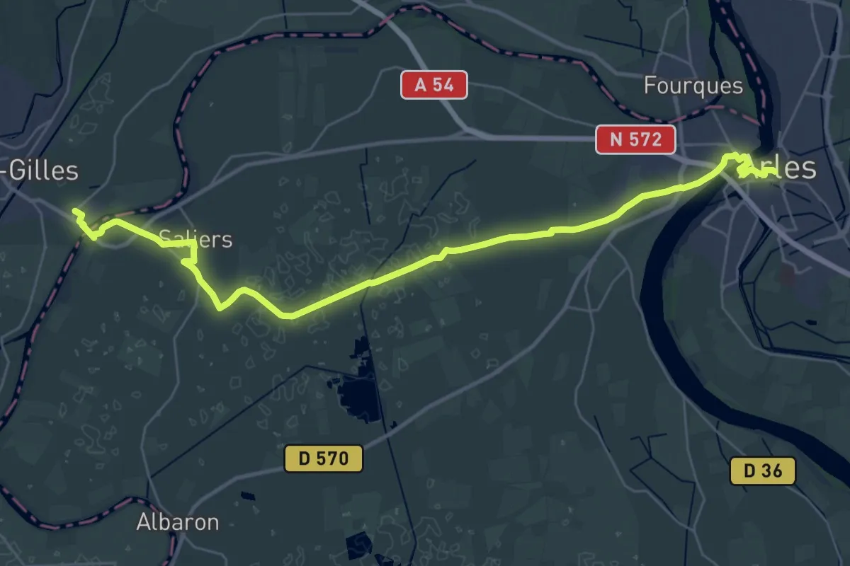
Arènes d'Arles – Montpellier
18.6 km · ↑ 15 m · 4 h 42 min · 14 km away
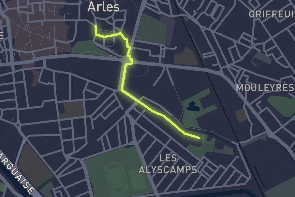
Easy · Trail
Abbaye Saint-Honorat – Arènes d'Arles
2.1 km · ↑ 14 m · 31 min · 14 km away
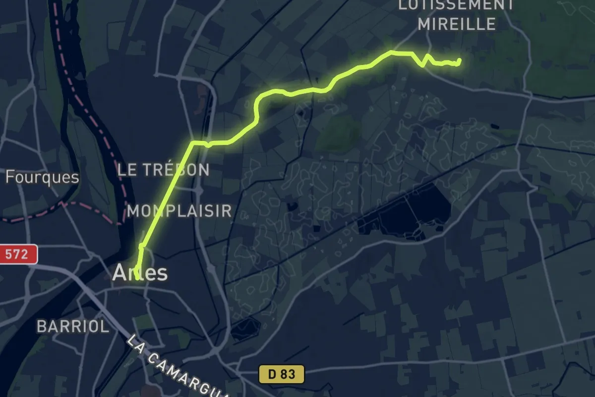
Medium · Trail
Via Domitia - Via Aurelia, Fontvieille - Arles
17.1 km · ↑ 69 m · 4 h 12 min · 14 km away