Trails near Thann
401 hikes starting within 15 km, nearest first.
Nearest first, page 9 of 9
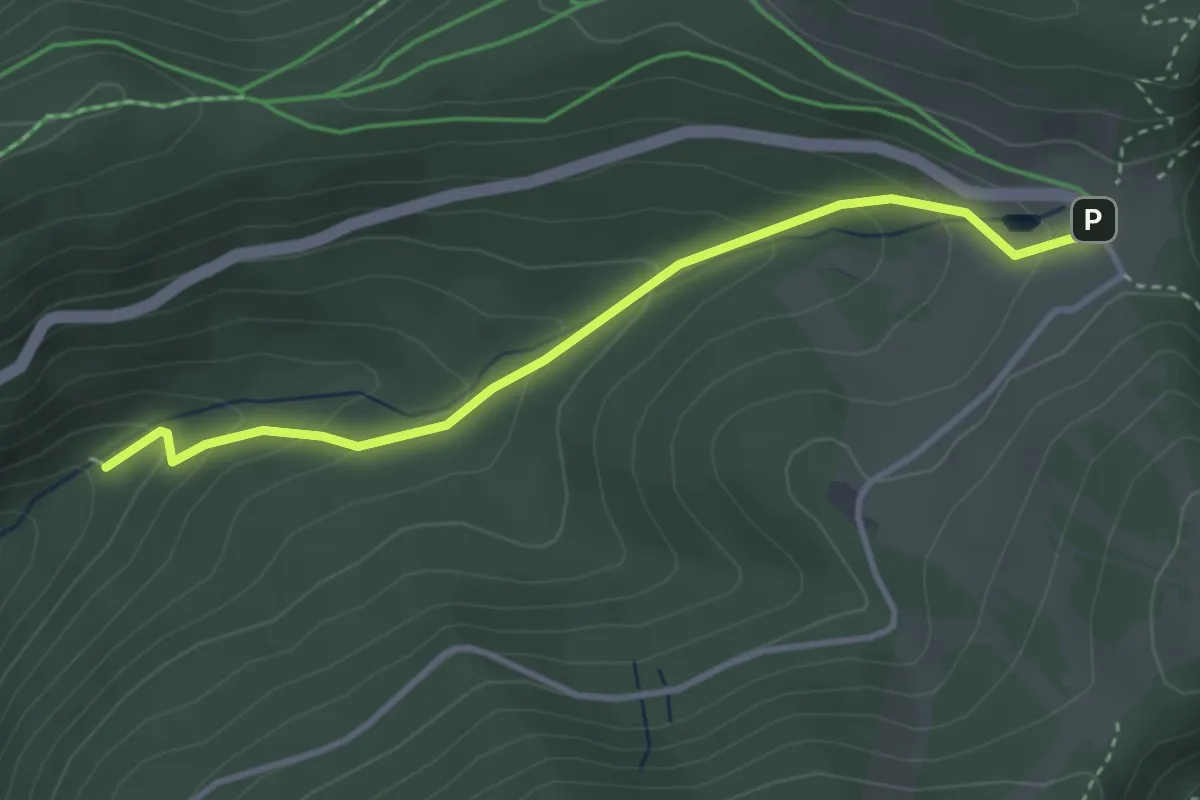
Easy · Trail
Chapelle Botiotte – GR 531
3.4 km · ↑ 196 m · 1 h 14 min · 15 km away
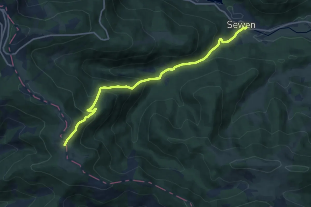
Medium · Trail
Sewen – Wissgrut
9.3 km · ↑ 604 m · 3 h 31 min · 15 km away
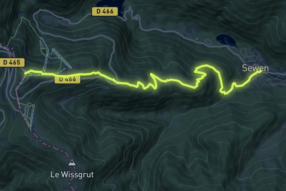
Medium · Summit
Sewen – Triangle rouge
12.2 km · ↑ 615 m · 4 h 13 min · 15 km away
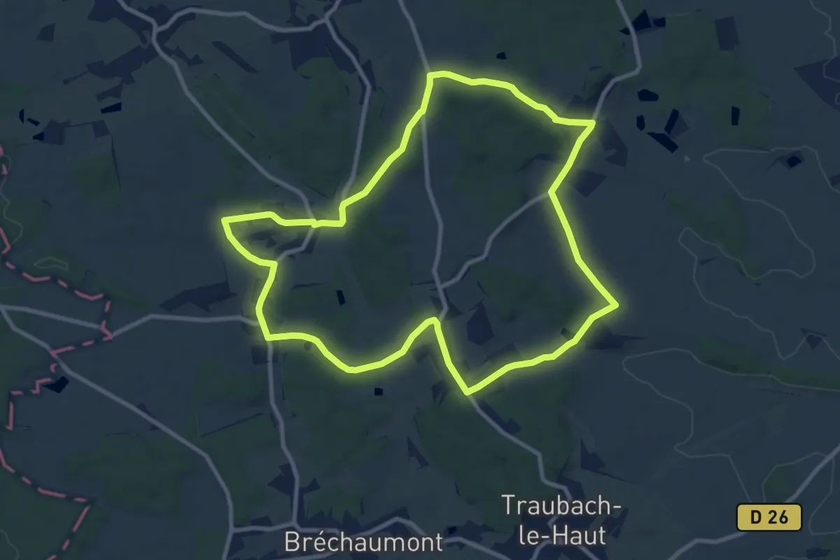
Medium · Trail
Bellemagny – Bellemagny
9.2 km · ↑ 169 m · 2 h 41 min · 15 km away
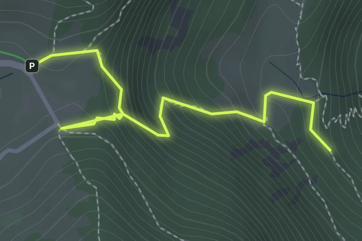
Easy · Trail
Rectangle rouge barré de blanc – GR531
2.4 km · ↑ 256 m · 1 h 8 min · 15 km away
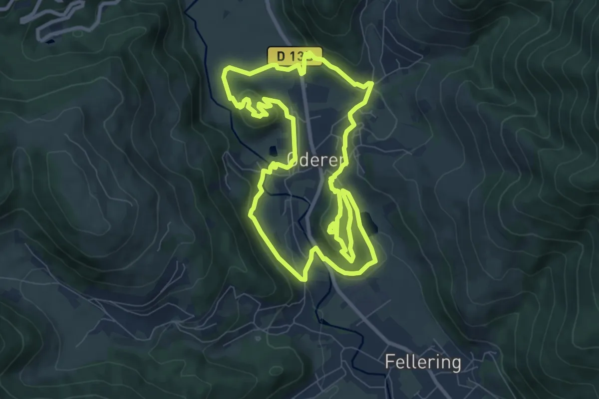
Easy · Trail
Tour de Oderen
7.9 km · ↑ 262 m · 2 h 33 min · 15 km away
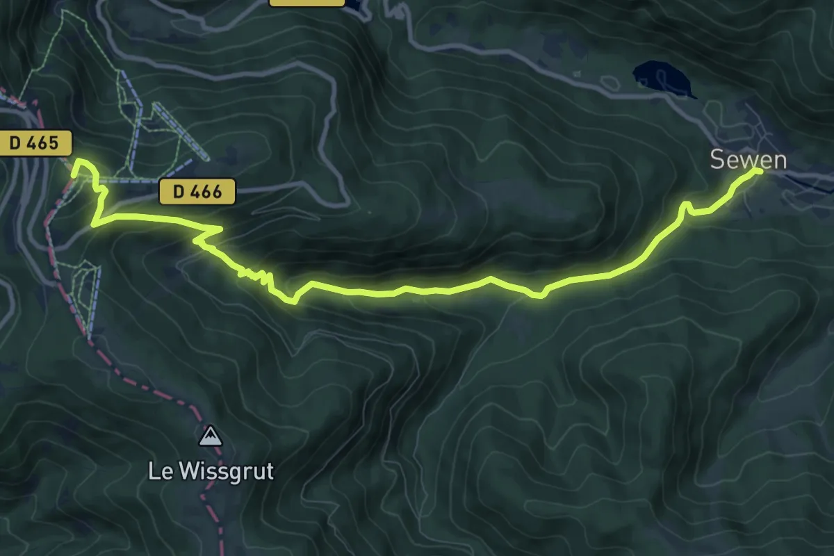
Medium · Summit
Sewen – Tête des Redoutes
11.3 km · ↑ 631 m · 4 h 3 min · 15 km away
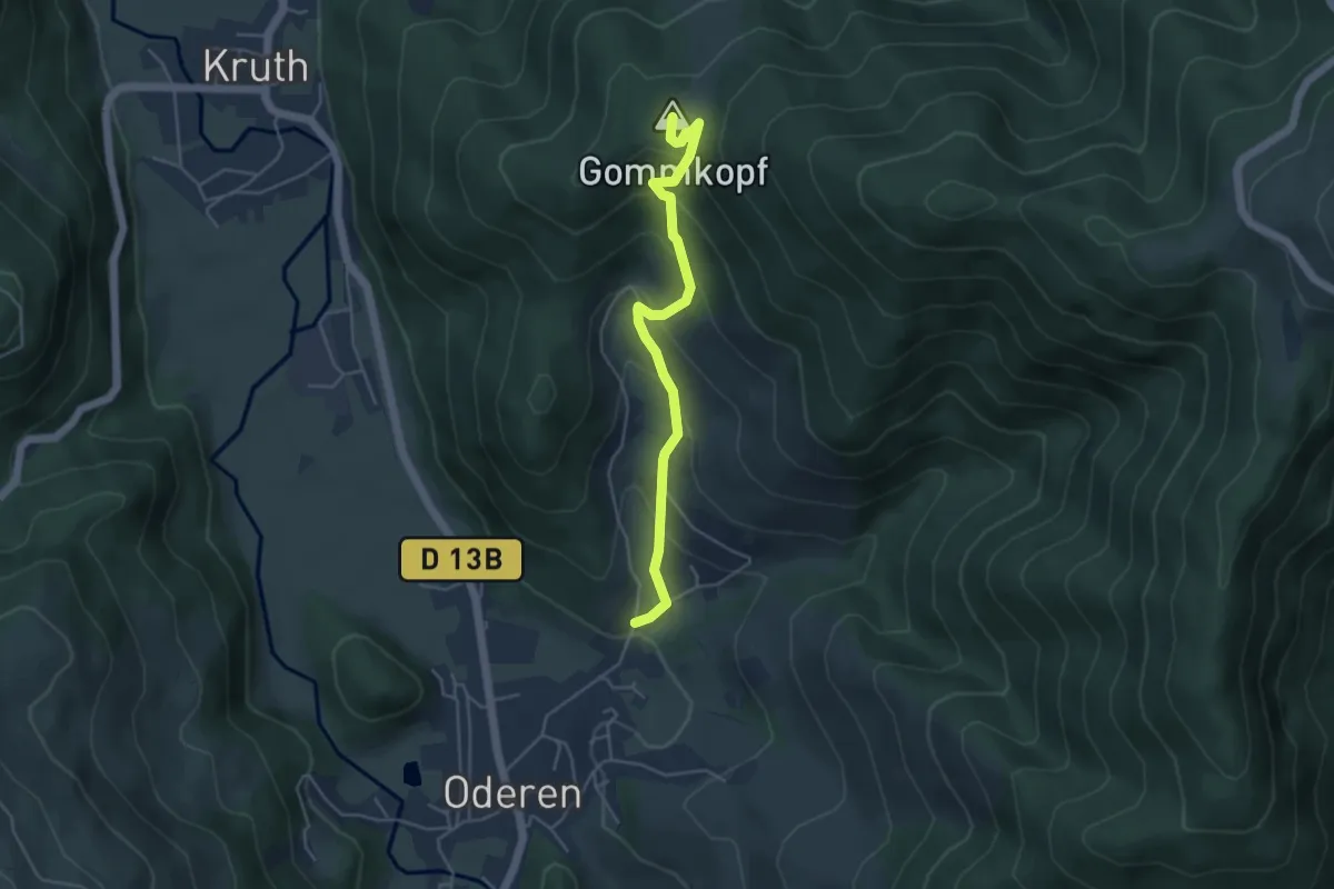
Medium · Summit
Oderen – Uhufels
4.4 km · ↑ 344 m · 1 h 47 min · 15 km away
Easy · Trail
Le Circuit du Trehkopf
1.3 km · ↑ 71 m · 28 min · 15 km away
Easy · Trail
Les Menhirs de l'Appenthal
4.3 km · ↑ 174 m · 1 h 27 min · 15 km away
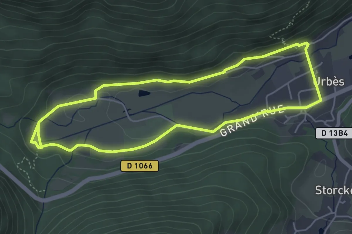
Easy · Trail
Sentier de découverte du Tunnel d'Urbès
4.2 km · ↑ 79 m · 1 h 14 min · 15 km away
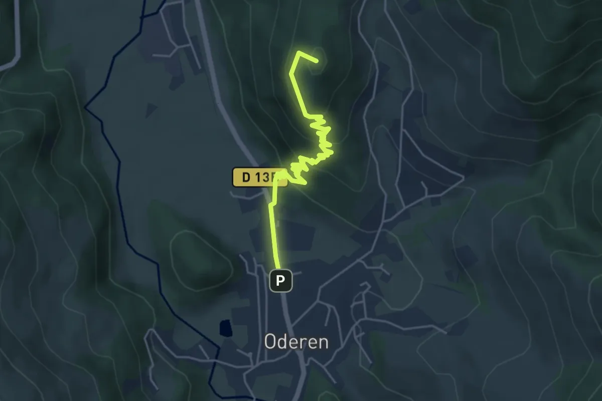
Easy · Summit
Oderen – Triangle rouge
4.4 km · ↑ 229 m · 1 h 32 min · 15 km away
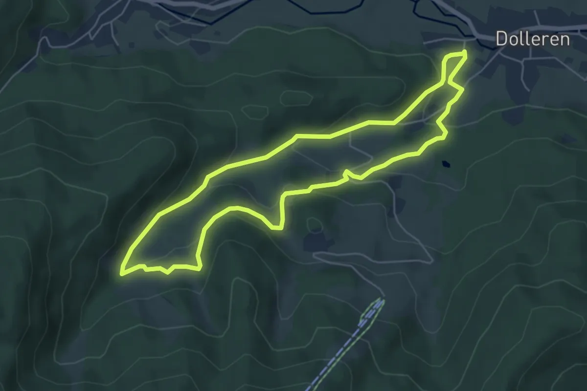
Easy · Trail
Sentier de découverte du Graber
5.1 km · ↑ 216 m · 1 h 44 min · 15 km away
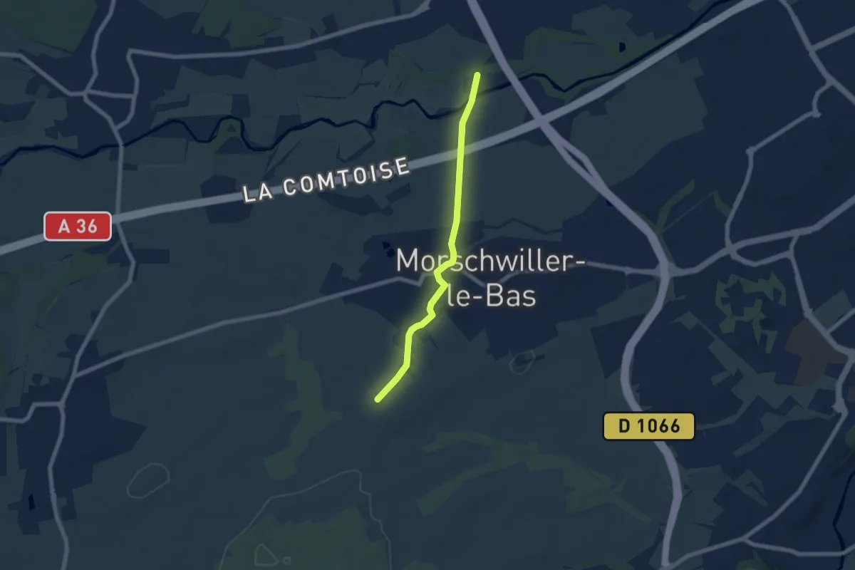
Easy · Trail
Kellerhag – Galgaecker
5.6 km · ↑ 35 m · 1 h 24 min · 15 km away
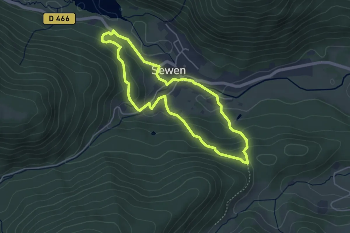
Easy · Trail
Circuit du Huhfels
3.5 km · ↑ 151 m · 1 h 13 min · 15 km away
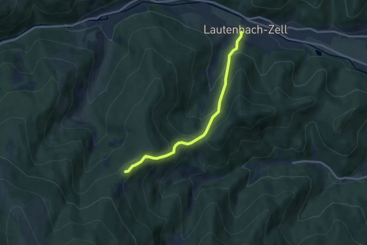
Medium · Summit
Lautenbach-Zell – Roedelen
6.3 km · ↑ 492 m · 2 h 33 min · 15 km away
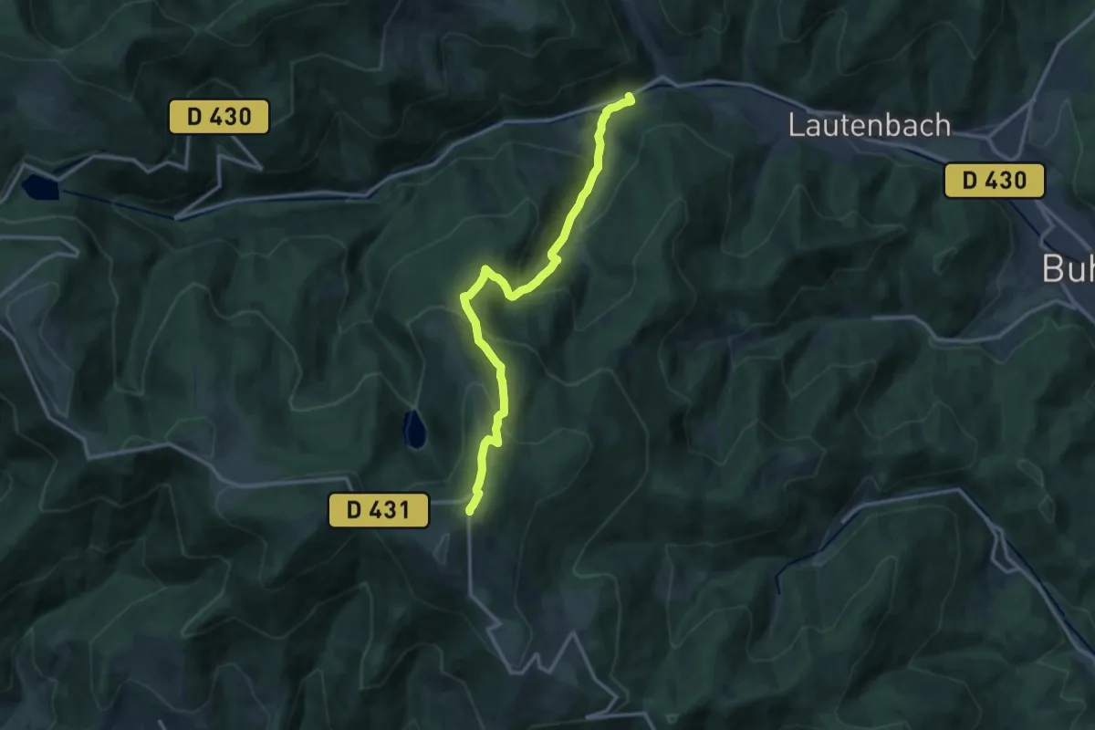
Demanding · Trail
Linthal – GR5
12.2 km · ↑ 880 m · 4 h 48 min · 15 km away