Trails near Thiers
28 hikes starting within 15 km, nearest first.
Nearest first
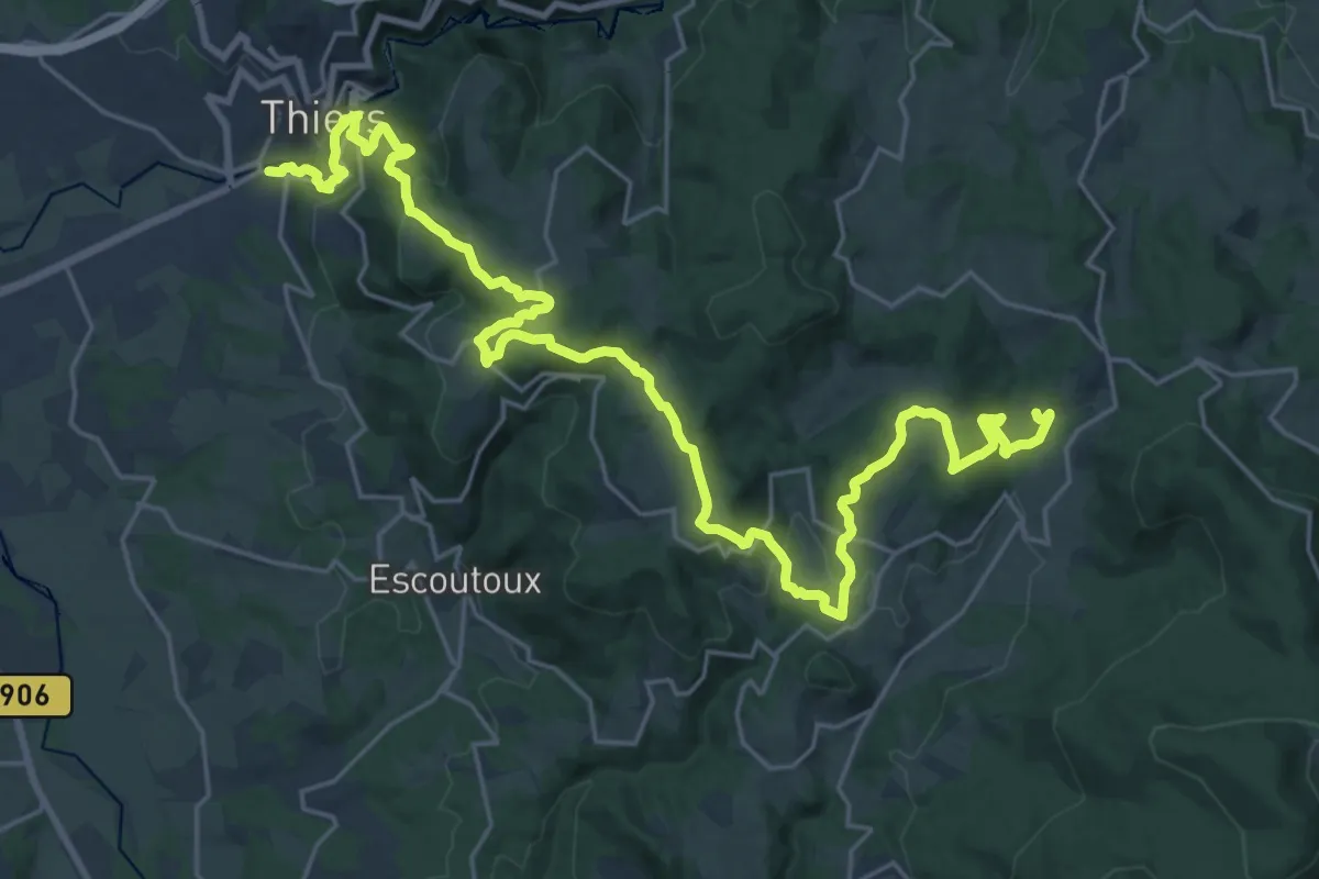
Medium · Trail
Thiers - Château de Vaulx
15.8 km · ↑ 740 m · 5 h 23 min · 1 km away
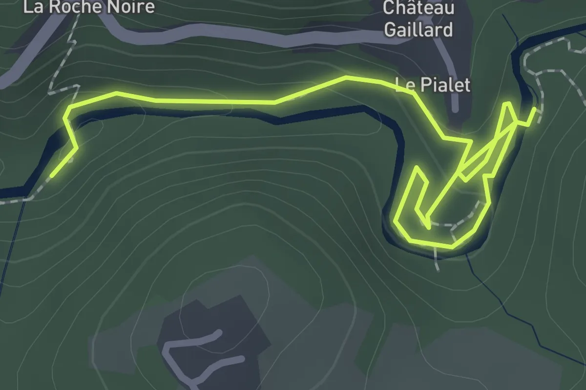
Easy · Trail
La Vallee des Rouets
1.4 km · ↑ 55 m · 27 min · 2 km away
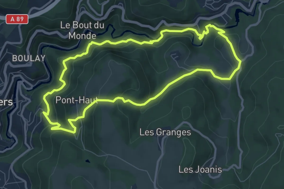
Medium · Trail
De l'Enfer aux Rouets
7.5 km · ↑ 387 m · 2 h 42 min · 3 km away
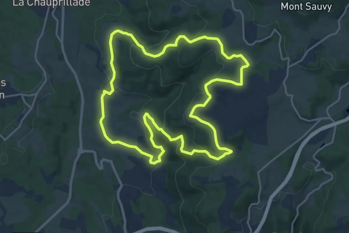
Medium · Trail
Le sentier de Pierre Folle
11.4 km · ↑ 442 m · 3 h 48 min · 4 km away
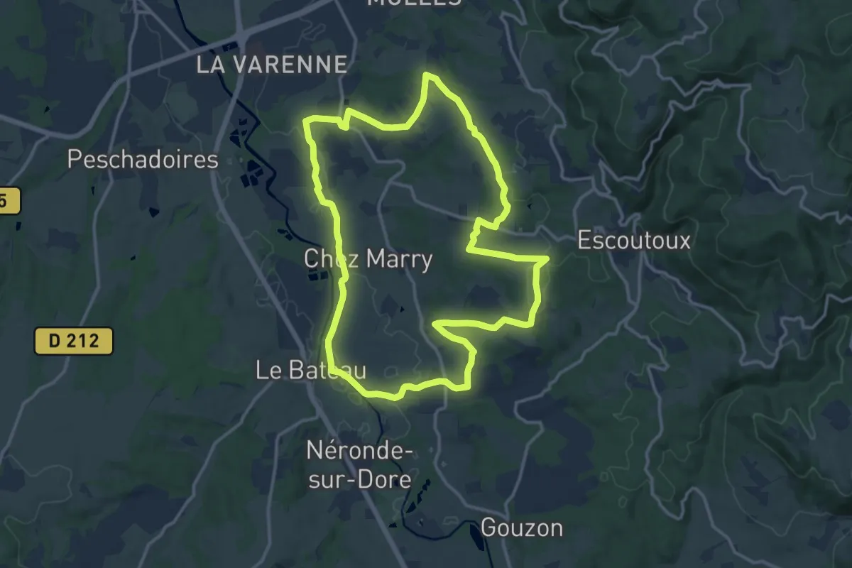
Medium · Trail
Les Terrasses de la Dore
13.3 km · ↑ 181 m · 3 h 43 min · 4 km away
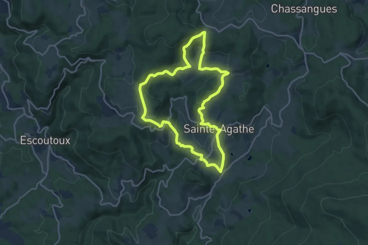
Medium · Trail
Le Peage
10.1 km · ↑ 335 m · 3 h 15 min · 5 km away
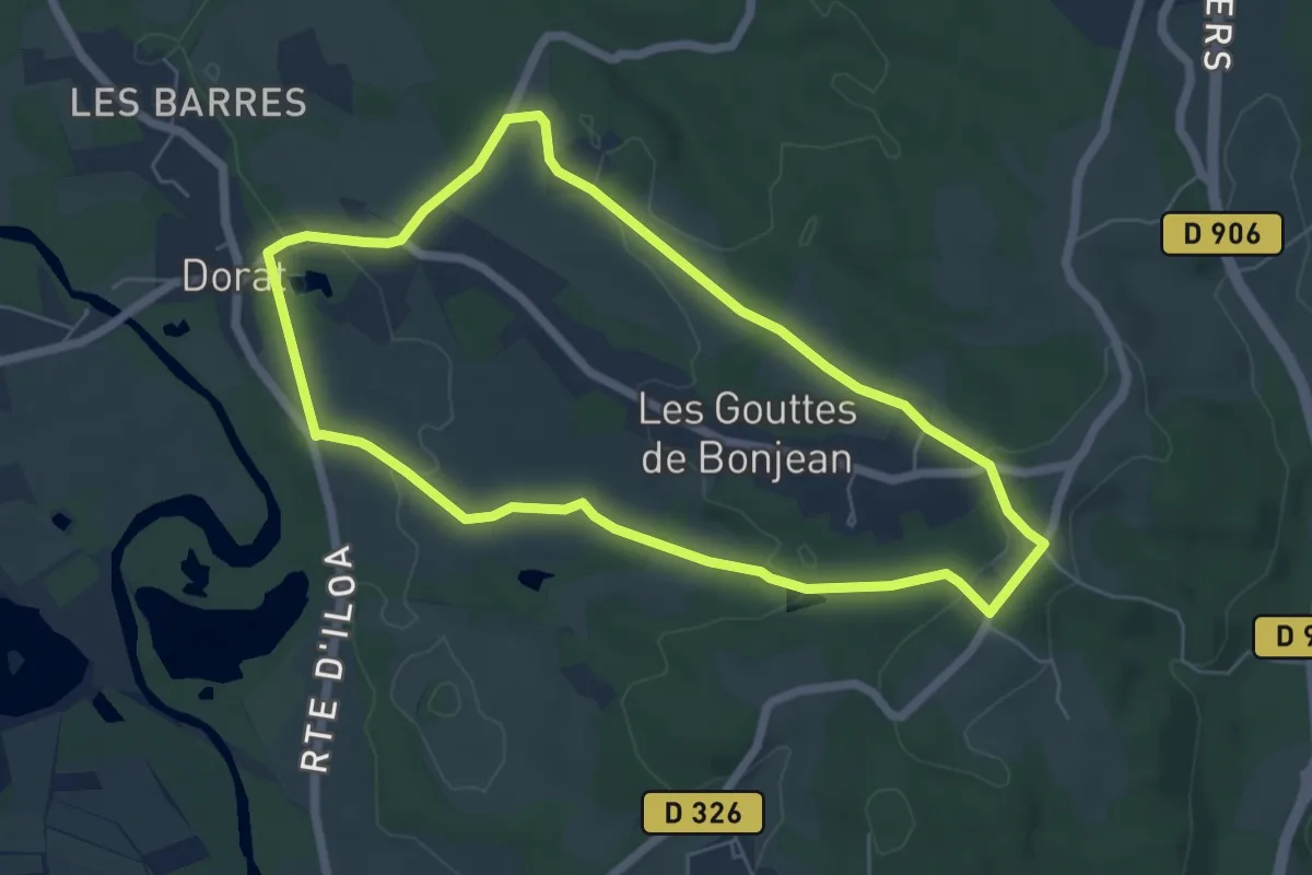
Easy · Trail
Le sentier de Néron
5.9 km · ↑ 116 m · 1 h 44 min · 6 km away
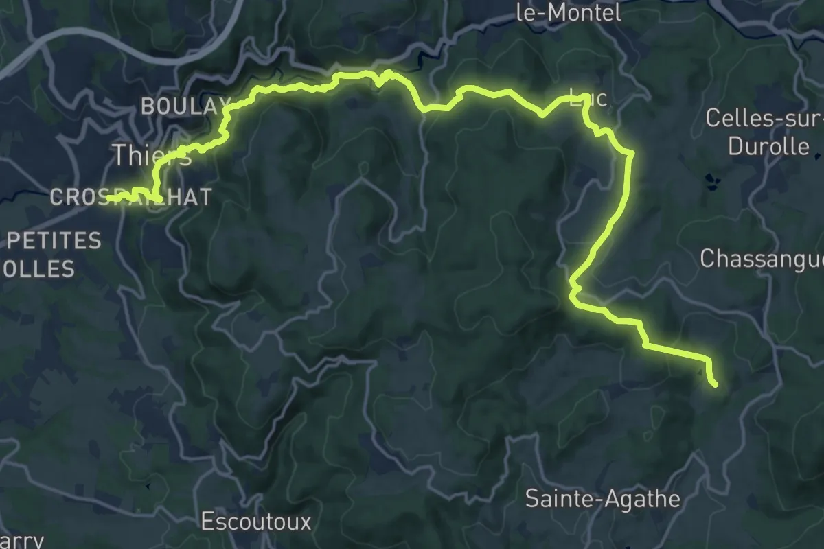
Medium · Trail
Château de Vaulx - Thiers
12.4 km · ↑ 359 m · 4 h 3 min · 7 km away
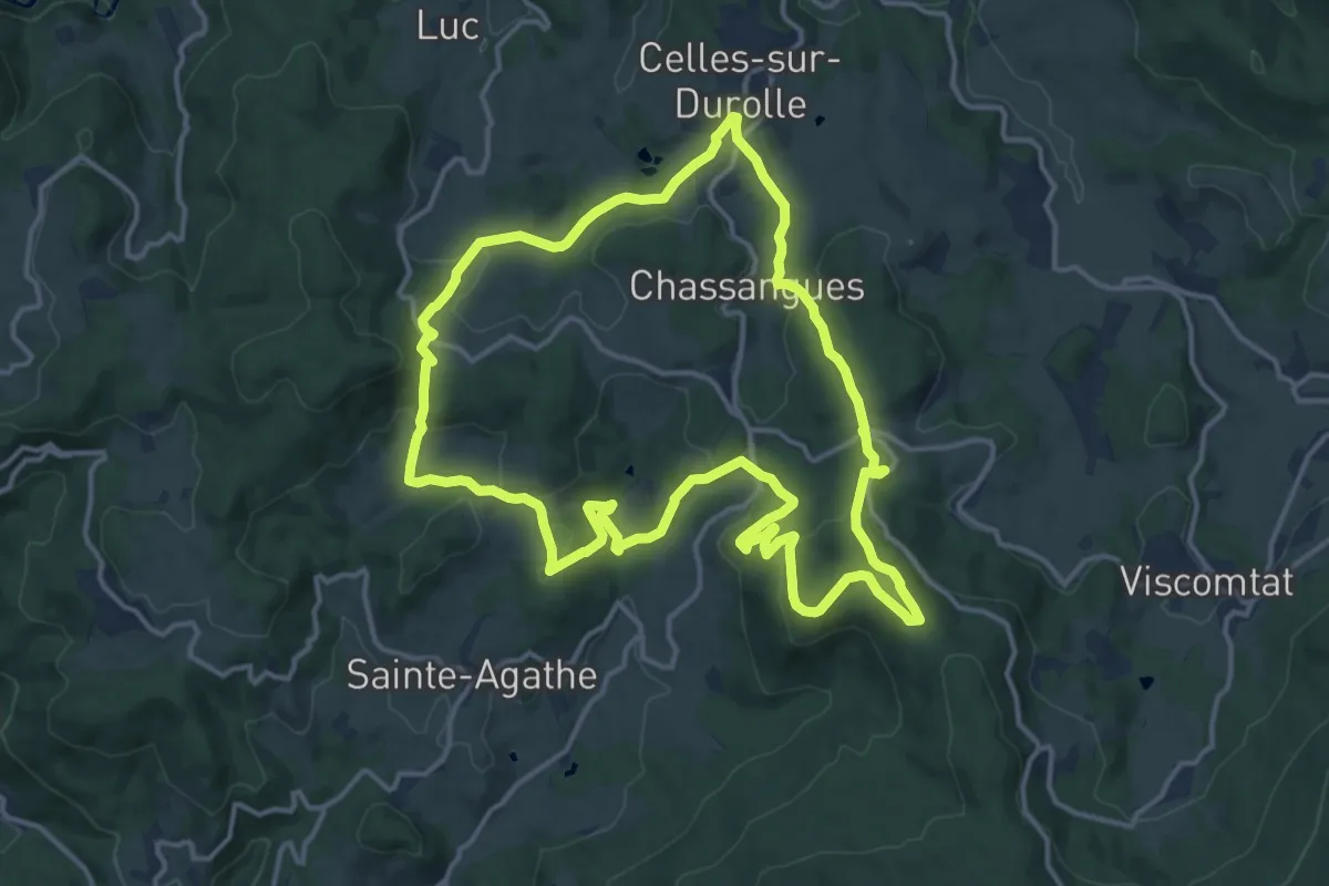
Medium · Trail
Le Puy d'Oscot
15.1 km · ↑ 515 m · 4 h 54 min · 8 km away
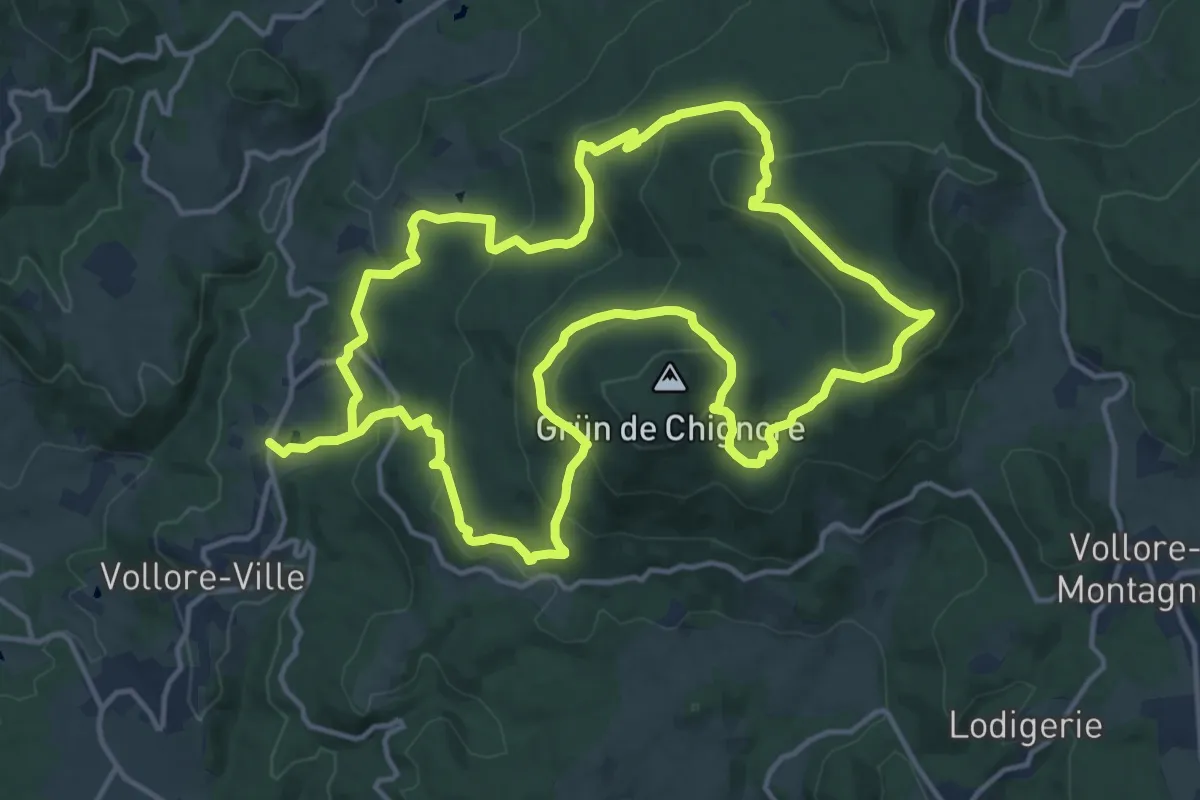
Medium · Trail
Le Grun de Chignore
15.1 km · ↑ 677 m · 5 h 15 min · 9 km away
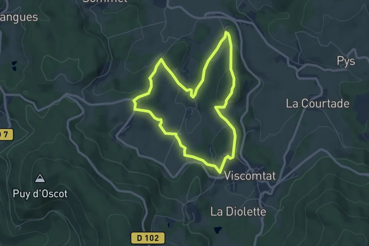
Easy · Trail
Ballade du Centenaire E.E.D.F
6.0 km · ↑ 159 m · 1 h 51 min · 9 km away
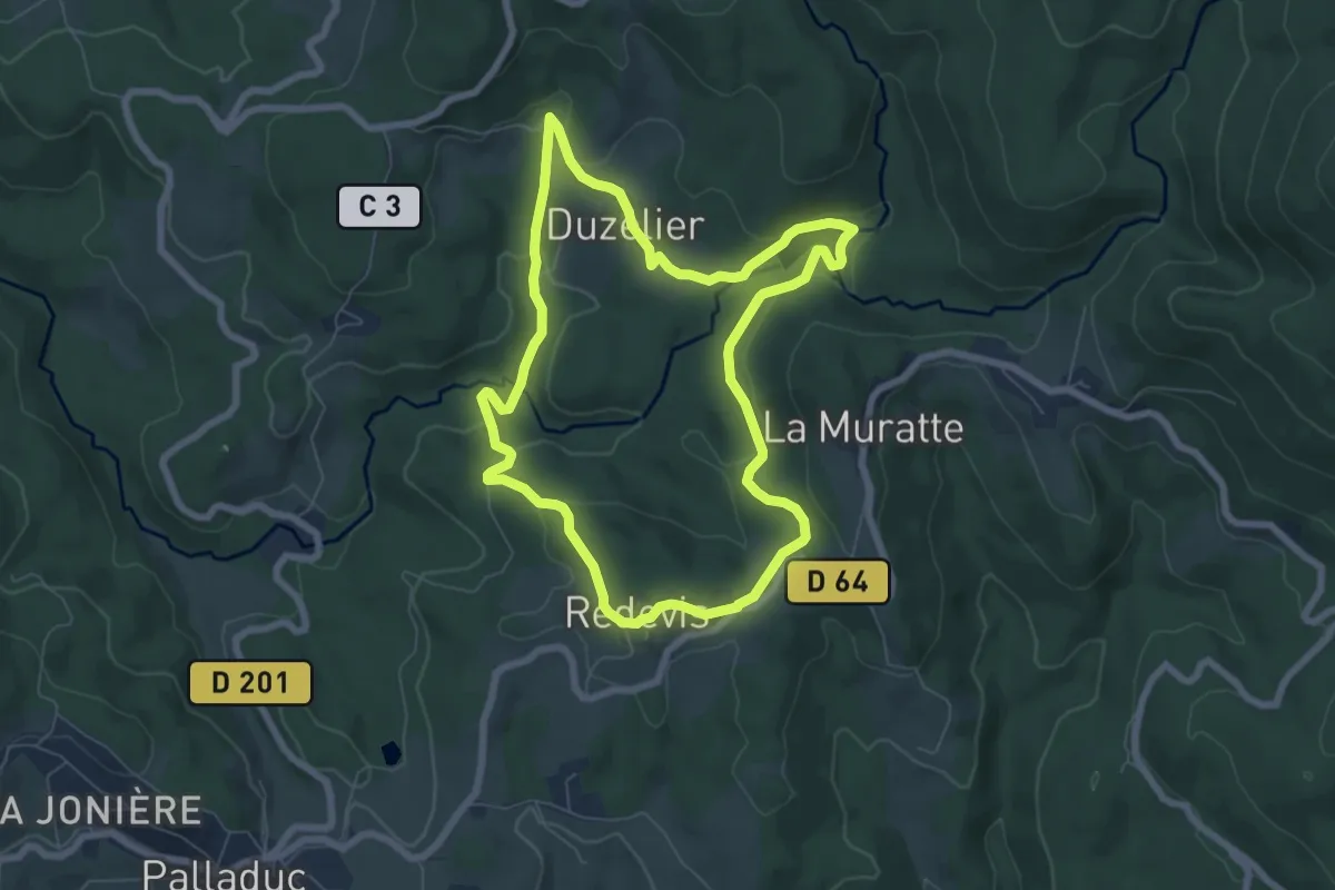
Easy · Trail
Margault, la truite Fario
6.9 km · ↑ 176 m · 2 h 6 min · 11 km away
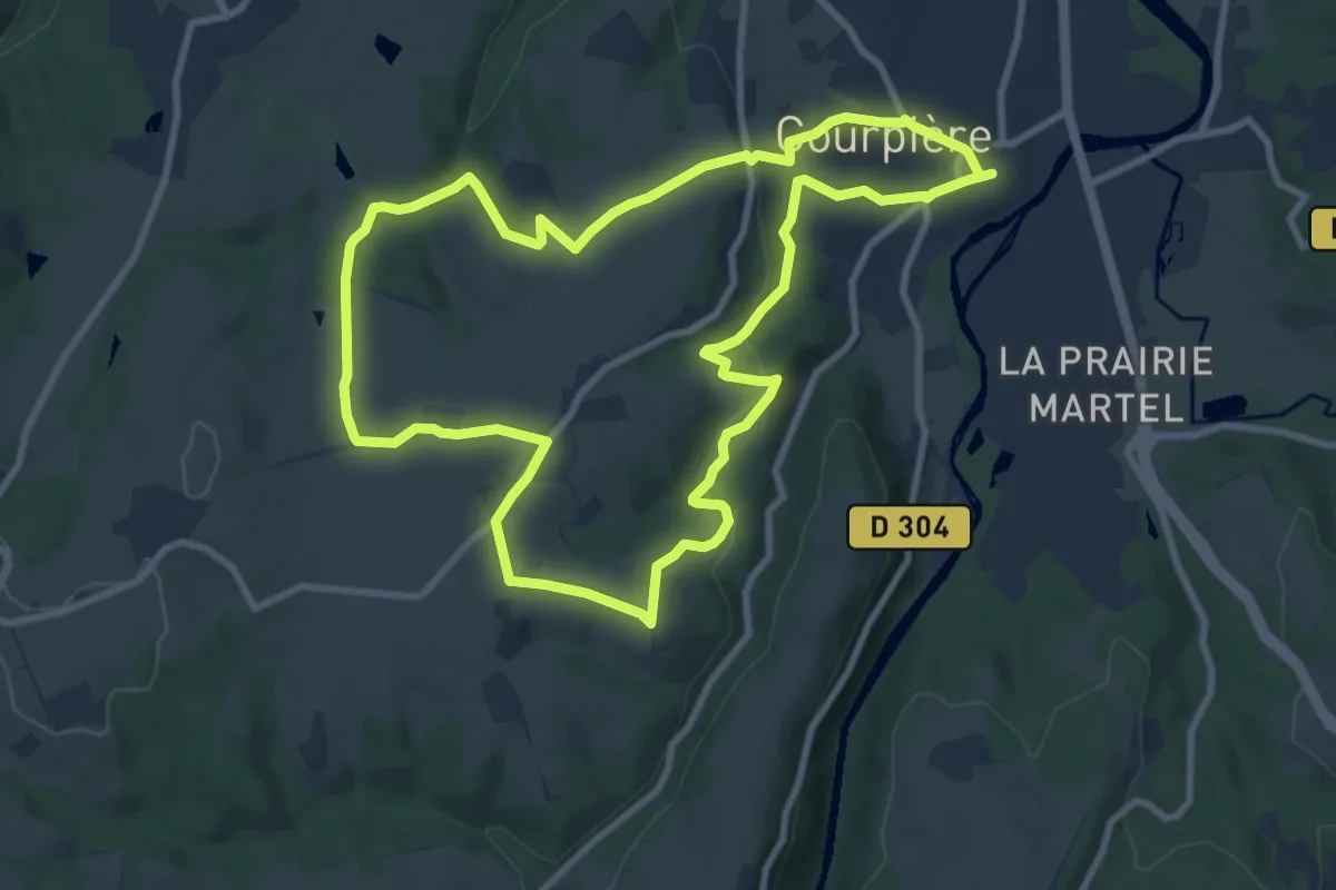
Medium · Trail
Les collines de Courtesserre
9.7 km · ↑ 233 m · 2 h 55 min · 11 km away
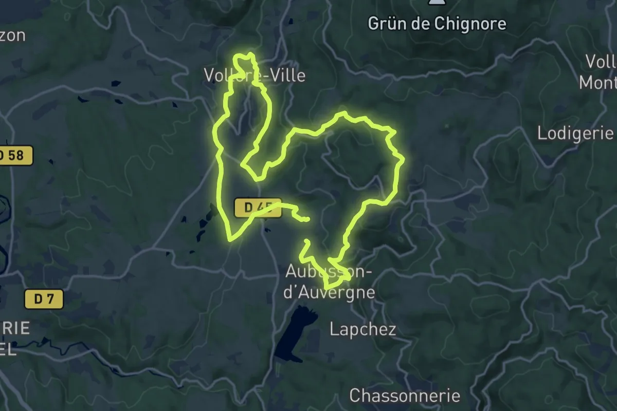
Medium · Trail
De Vollore jusqu'au lac
15.7 km · ↑ 428 m · 4 h 52 min · 11 km away
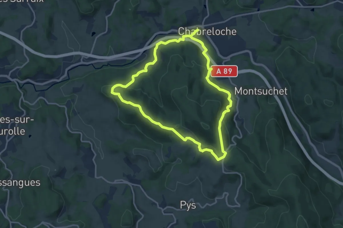
Medium · Trail
Le Roc du Guet
10.5 km · ↑ 328 m · 3 h 20 min · 12 km away
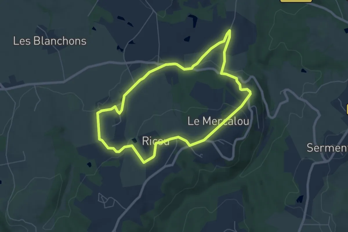
Easy · Trail
Le sentier du Pise
5.7 km · ↑ 112 m · 1 h 40 min · 12 km away
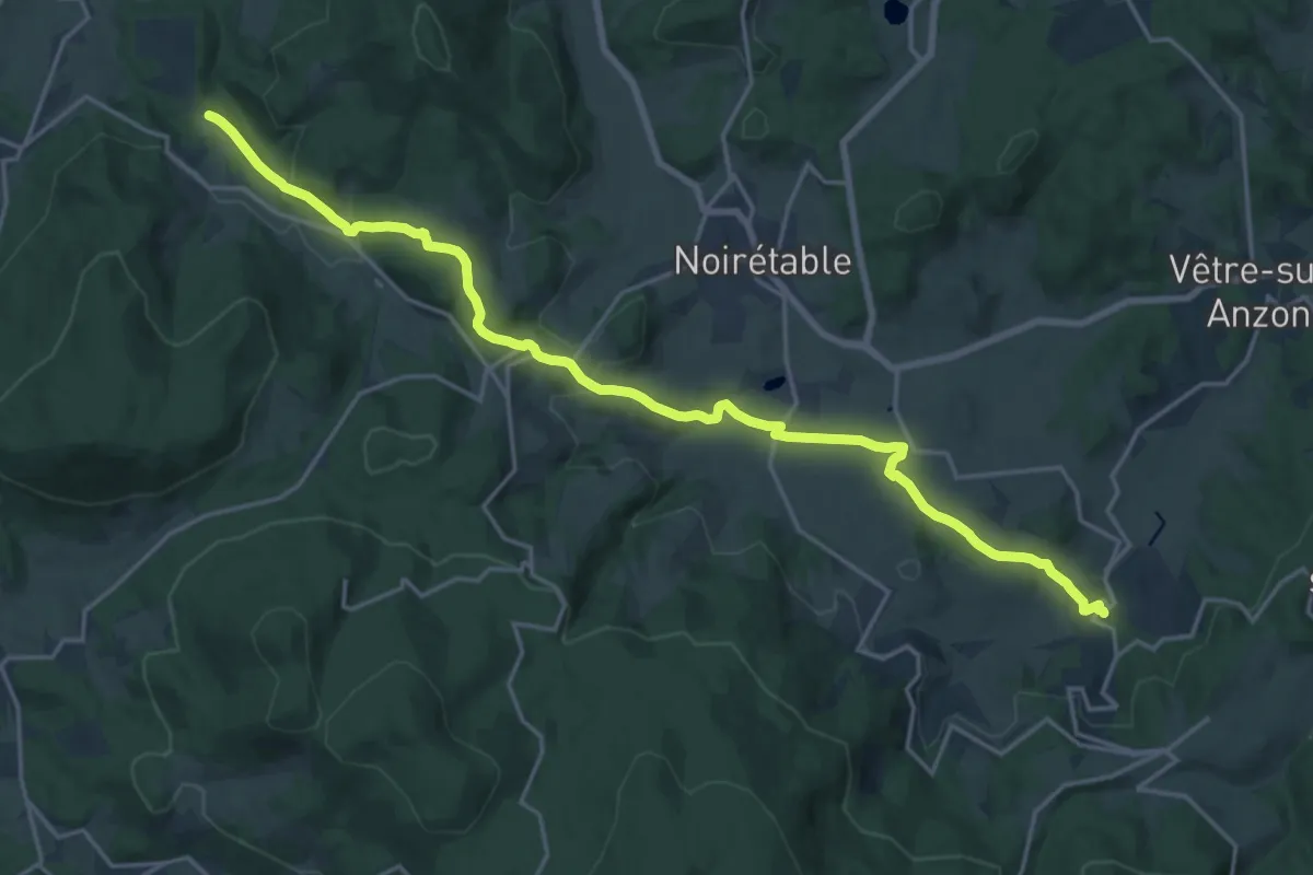
Demanding · Trail
Chemin de Montaigne de Saint-Jean-la-Vêtre à Thiers
21.5 km · ↑ 552 m · 6 h 16 min · 12 km away
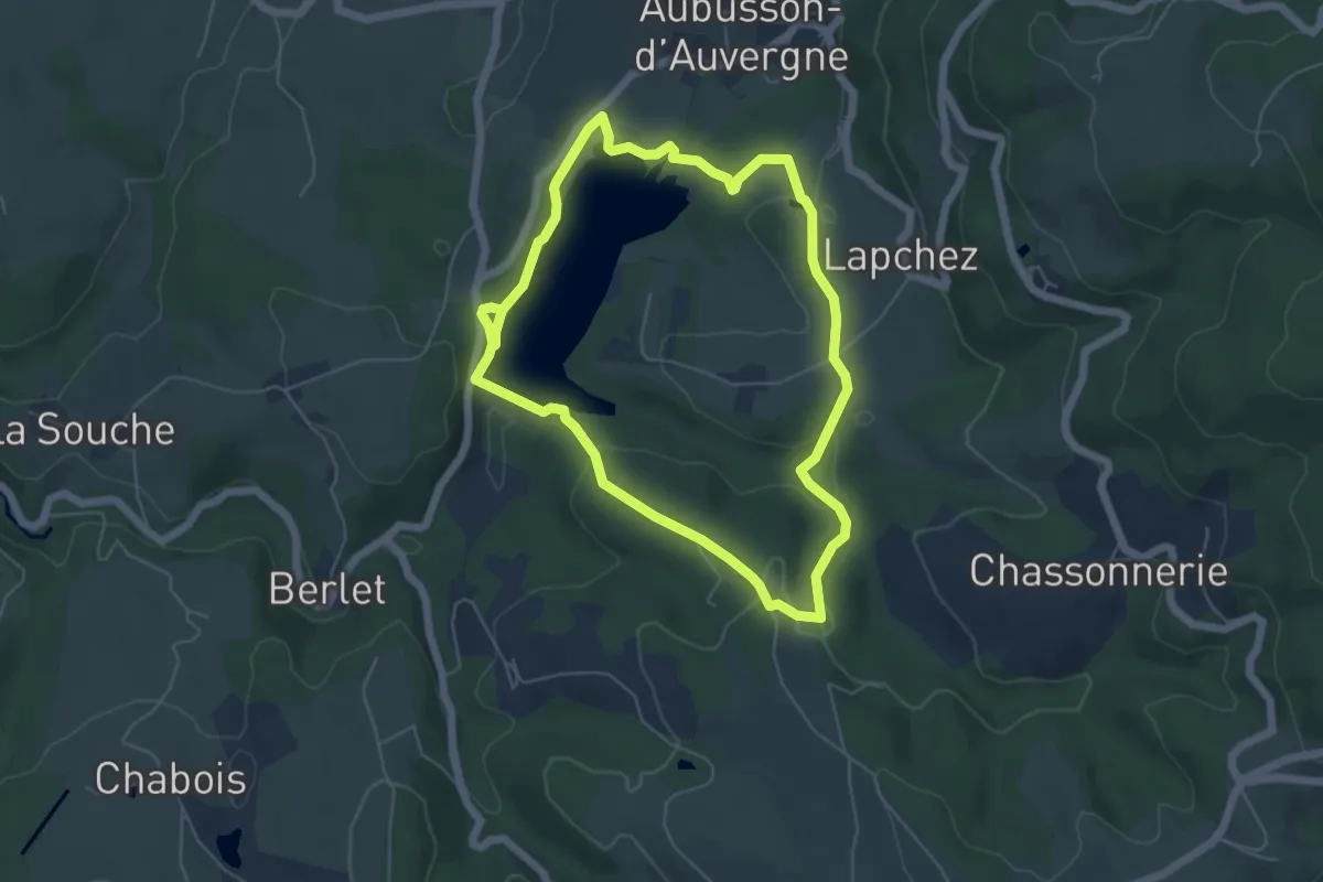
Easy · Trail
Lac et sous Bois
5.3 km · ↑ 132 m · 1 h 37 min · 13 km away
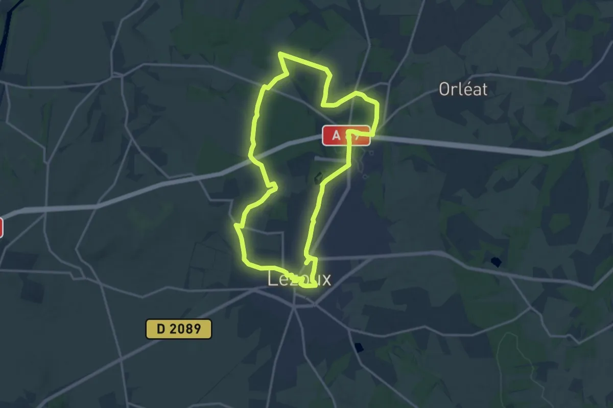
Medium · Trail
lezoux cote nature
14.1 km · ↑ 92 m · 3 h 44 min · 13 km away
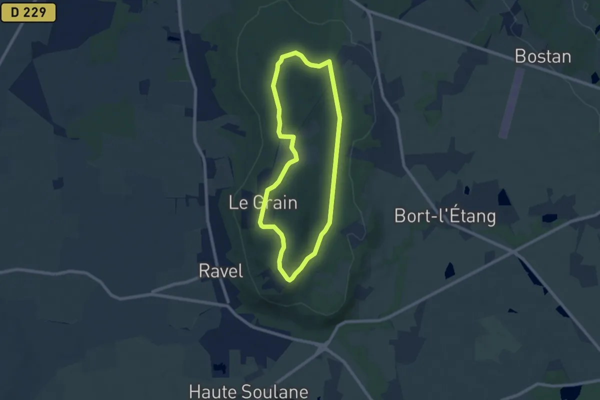
Easy · Trail
La Morille
5.9 km · ↑ 62 m · 1 h 36 min · 13 km away
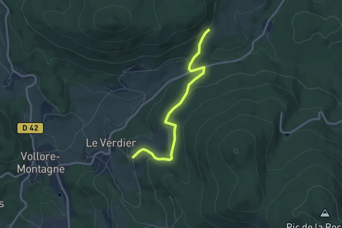
Easy · Trail
Pierre Pamole
3.0 km · ↑ 82 m · 57 min · 13 km away
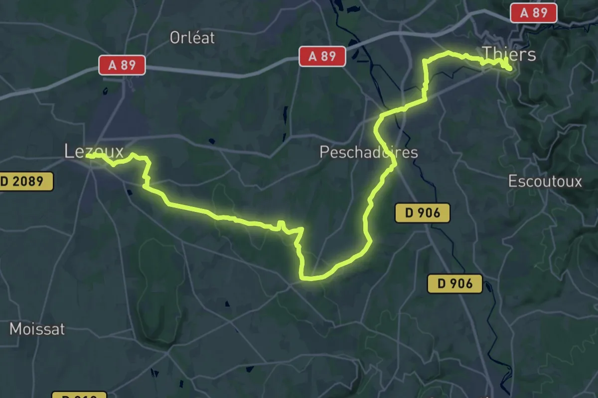
Demanding · Trail
Chemin de Montaigne de Thiers à Lezoux
24.4 km · ↑ 268 m · 6 h 39 min · 14 km away
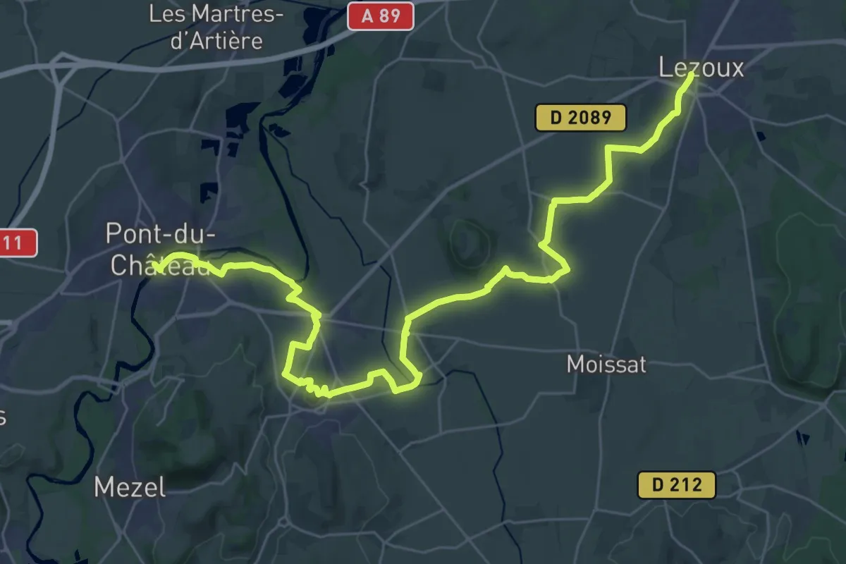
Demanding · Trail
Chemin de Montaigne de Lezoux à Pont-du-Château
20.1 km · ↑ 150 m · 5 h 23 min · 14 km away
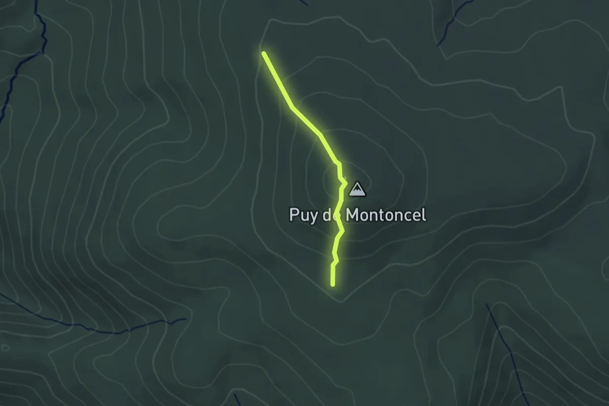
Medium · Summit
Le Puy de Montoncel
1.1 km · ↑ 75 m · 26 min · 14 km away
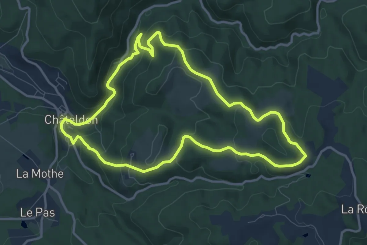
Medium · Trail
Du Vauziron à la Chasserelle
8.4 km · ↑ 307 m · 2 h 47 min · 14 km away
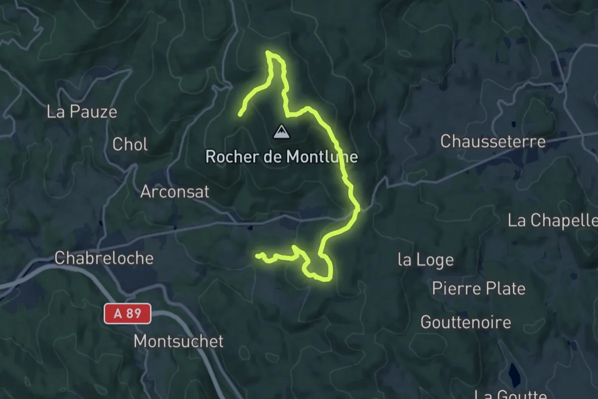
Medium · Trail
Montlune
8.7 km · ↑ 172 m · 2 h 43 min · 15 km away
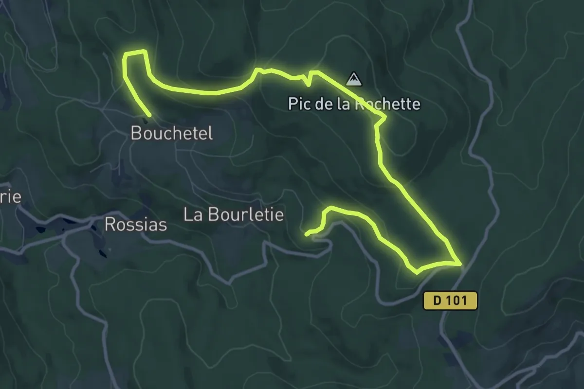
Easy · Summit
Le Lit de la Vierge
6.6 km · ↑ 217 m · 2 h 6 min · 15 km away
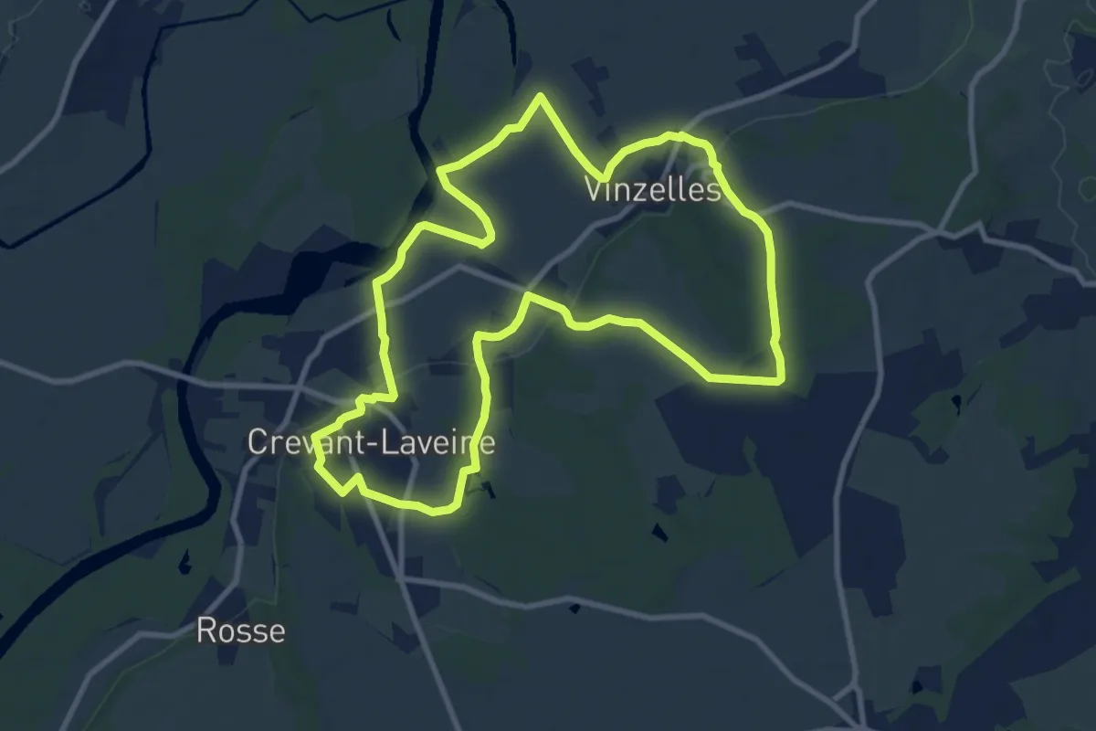
Medium · Trail
Entre Crevant et Laveine
9.9 km · ↑ 116 m · 2 h 43 min · 15 km away