Trails near Thonon-les-Bains
24 hikes starting within 15 km, nearest first.
Nearest first
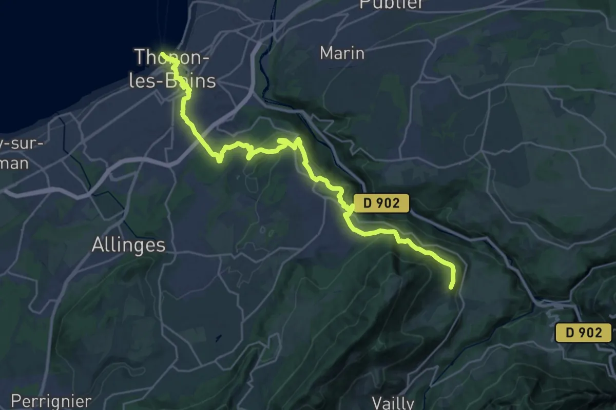
Demanding · Trail
Thonon – Reyvroz
26.3 km · ↑ 817 m · 7 h 59 min · under 1 km away
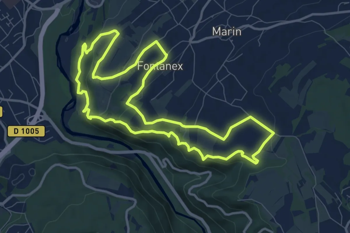
Medium · Trail
Boucle des Vignes
8.7 km · ↑ 265 m · 2 h 46 min · 3 km away
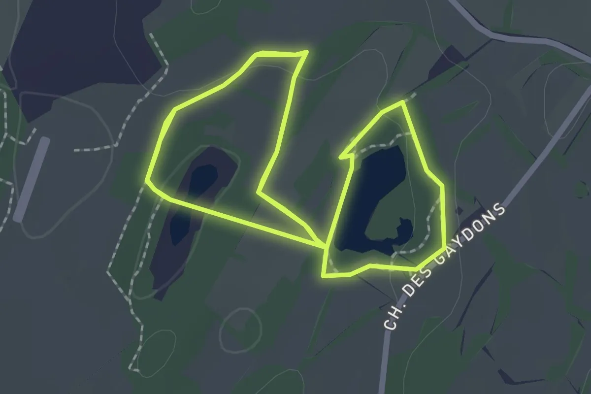
Medium · Trail
Circuit du Voua Beudet
2.5 km · ↑ 26 m · 41 min · 4 km away
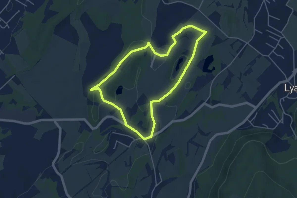
Easy · Trail
Tour du Voua de la Motte
3.6 km · ↑ 37 m · 58 min · 5 km away
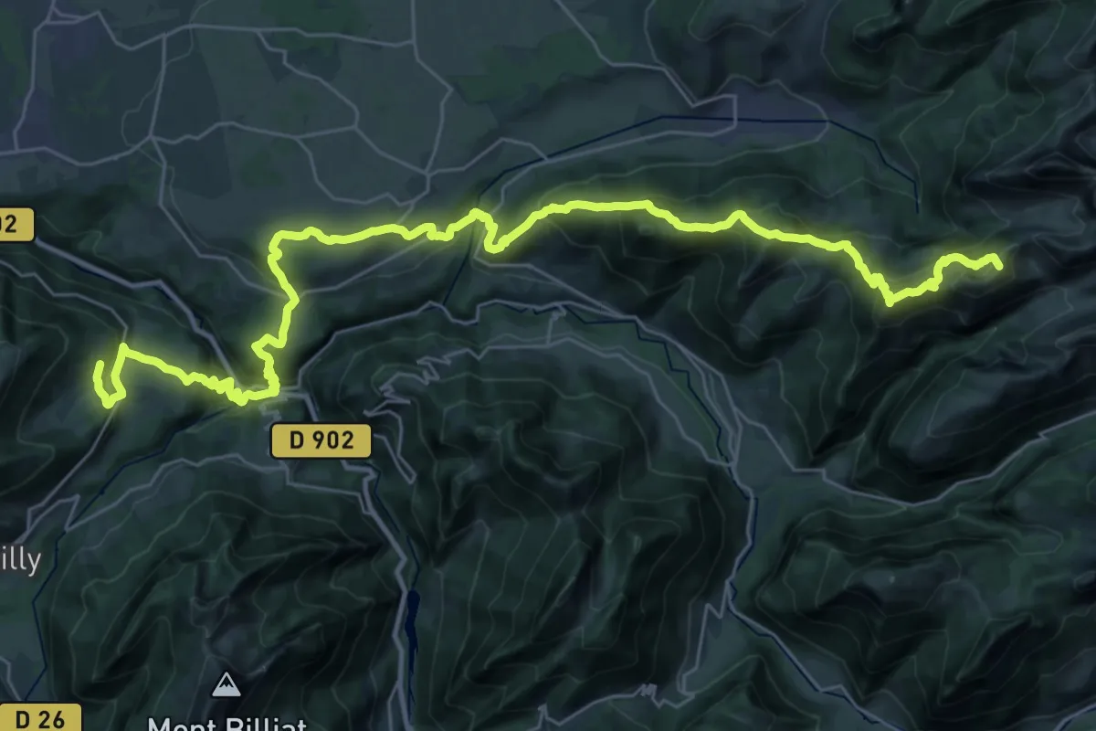
Demanding · Summit
Reyvroz – La Montagne de Neuteu Sud
41.8 km · ↑ 2367 m · 14 h 59 min · 8 km away
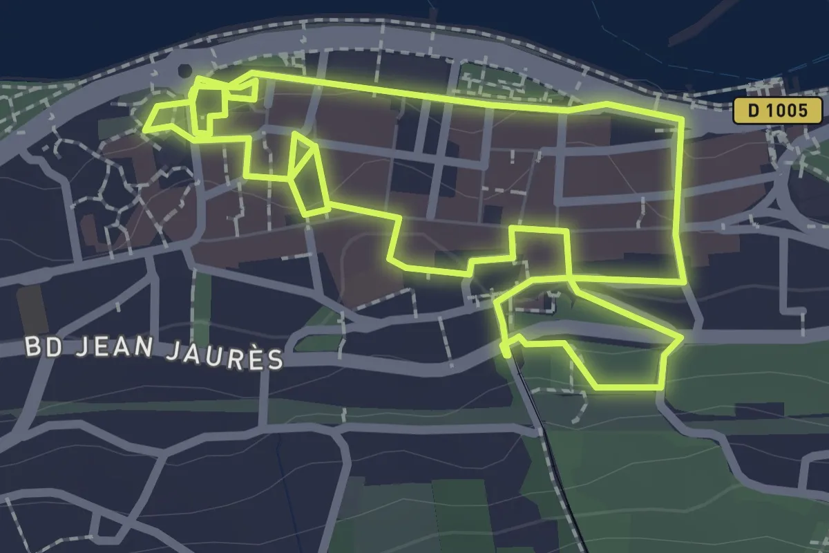
Easy · Trail
Circuit Historique
2.5 km · ↑ 58 m · 44 min · 9 km away
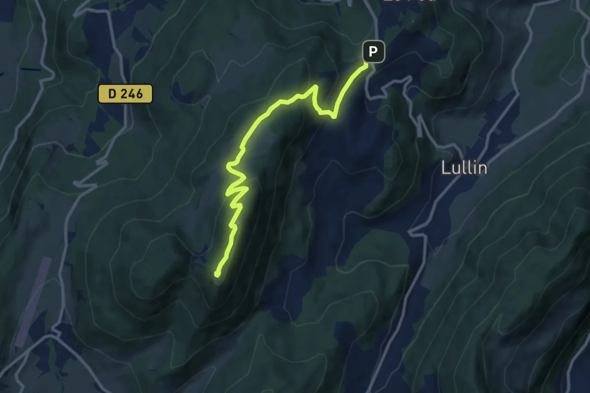
Medium · Summit
Ombres sur l'Alpage
4.5 km · ↑ 405 m · 1 h 49 min · 9 km away
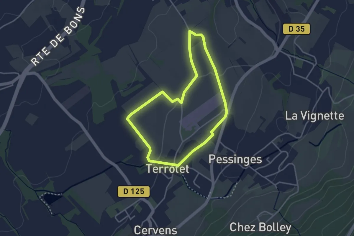
Easy · Trail
Miroir de l'Eau (Boucle Nord)
2.9 km · ↑ 23 m · 46 min · 9 km away
Easy · Trail
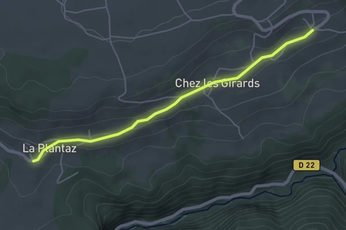
GR 5 Variante La Plantaz
4.3 km · ↑ 52 m · 1 h 8 min · 10 km away
Easy · Trail
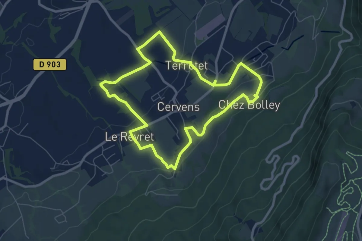
Miroir de l'Eau
6.3 km · ↑ 129 m · 1 h 51 min · 10 km away
Easy · Summit
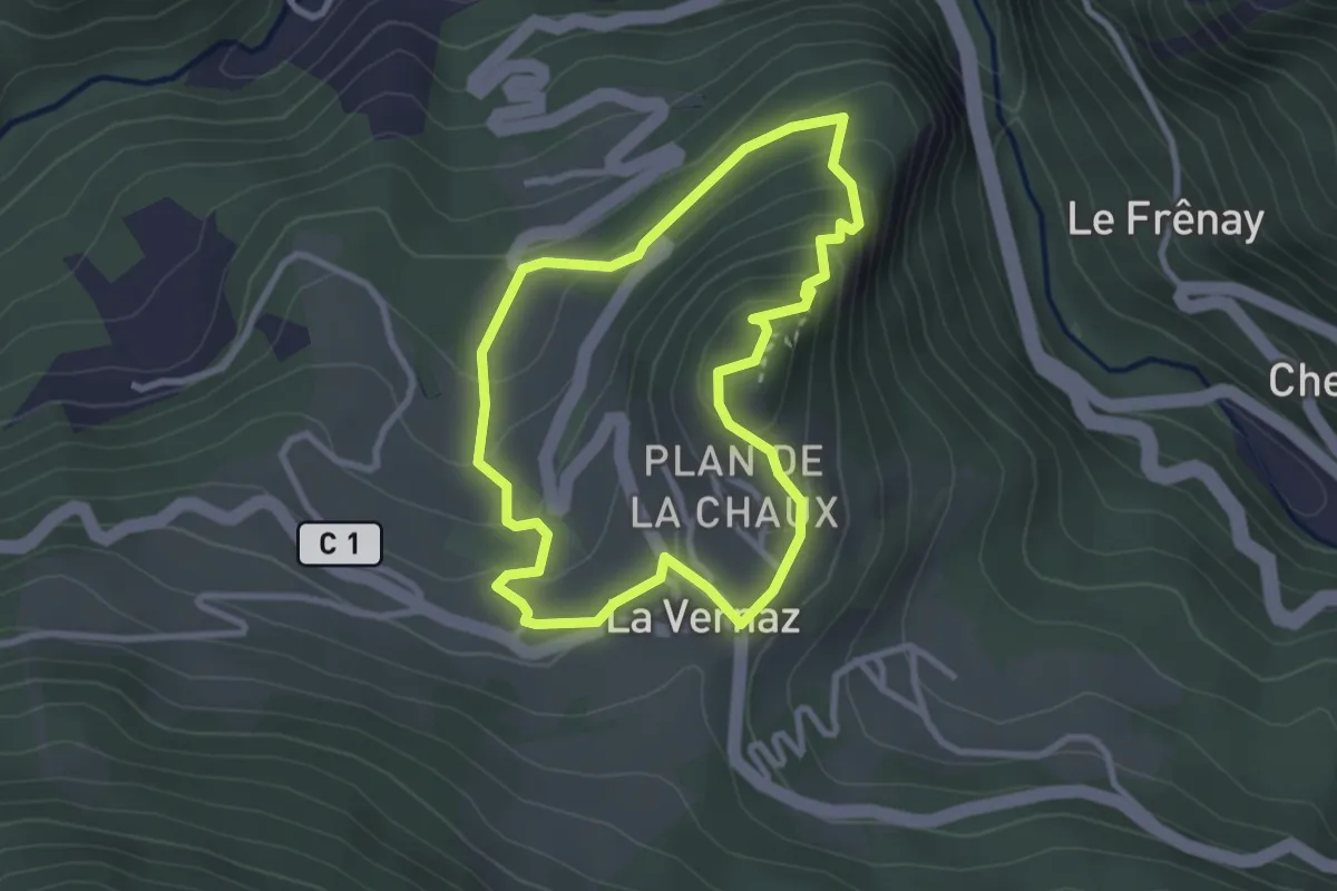
Sentier de découverte
2.7 km · ↑ 164 m · 1 h 2 min · 11 km away
Medium · Trail
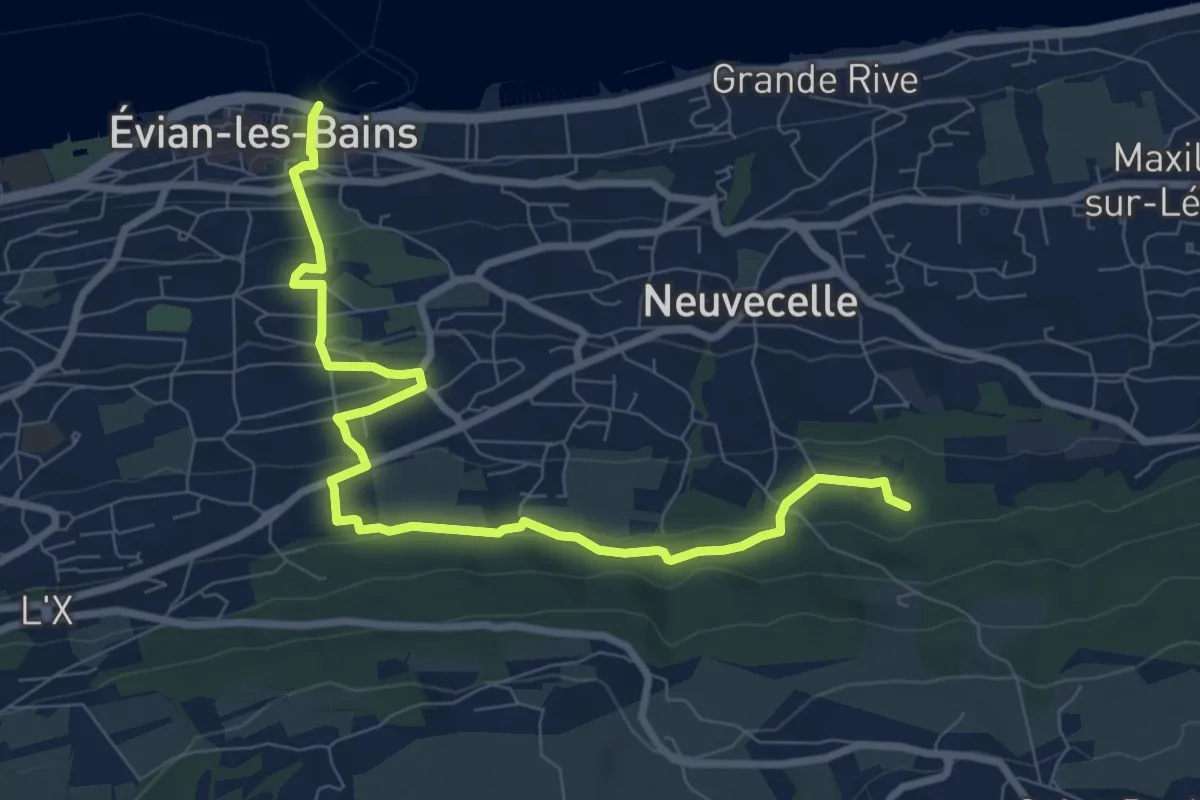
Littoral du Léman
9.4 km · ↑ 343 m · 2 h 57 min · 11 km away
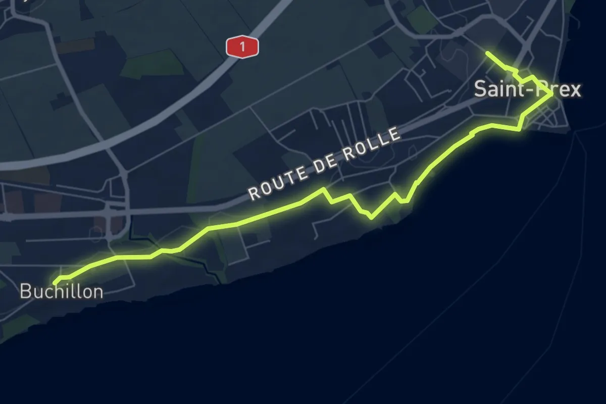
Medium · Trail
Buchillon – St Prex Gare
8.1 km · ↑ 53 m · 2 h 1 min · 12 km away
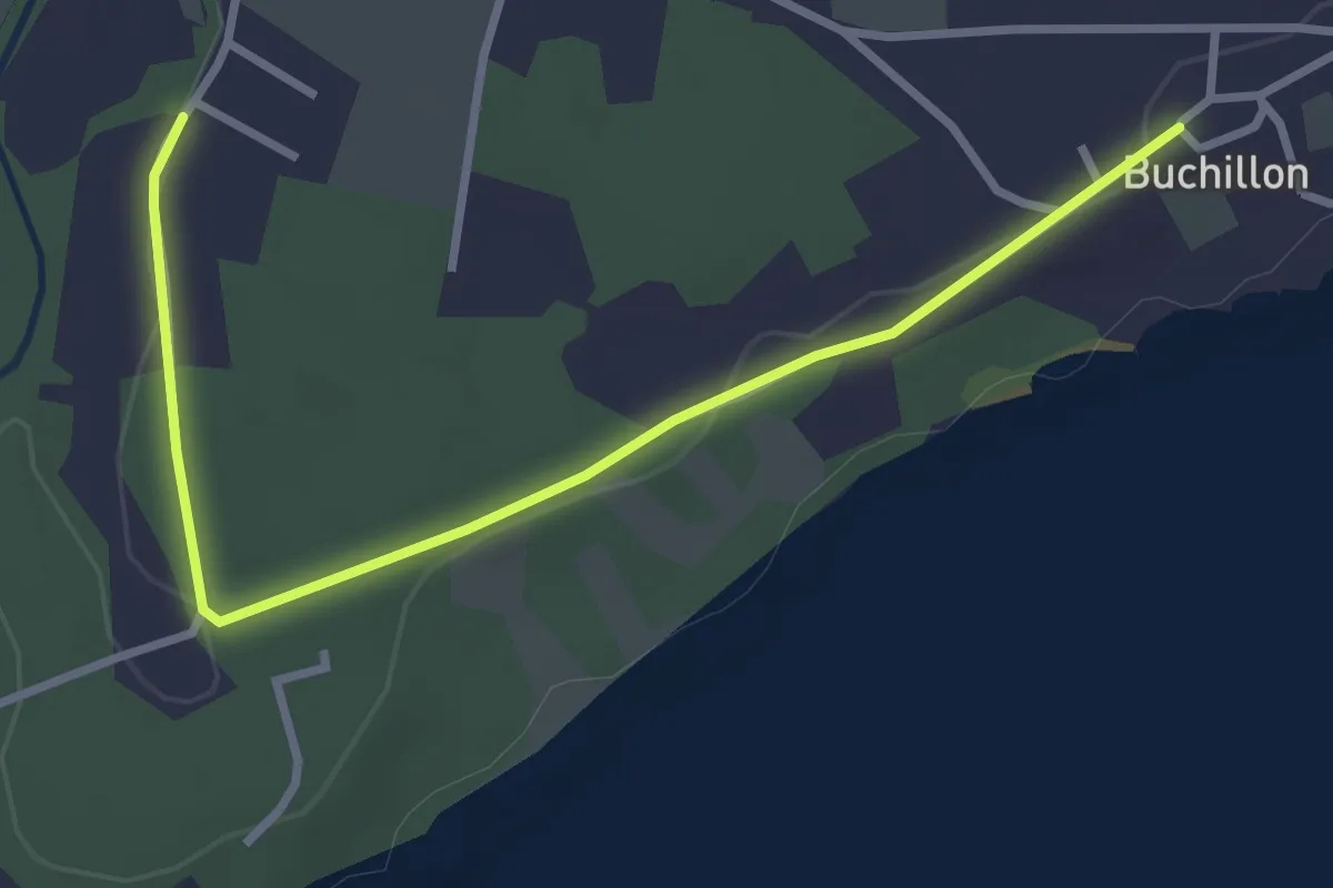
Easy · Trail
Grand Bois – Buchillon
3.4 km · ↑ 18 m · 51 min · 12 km away
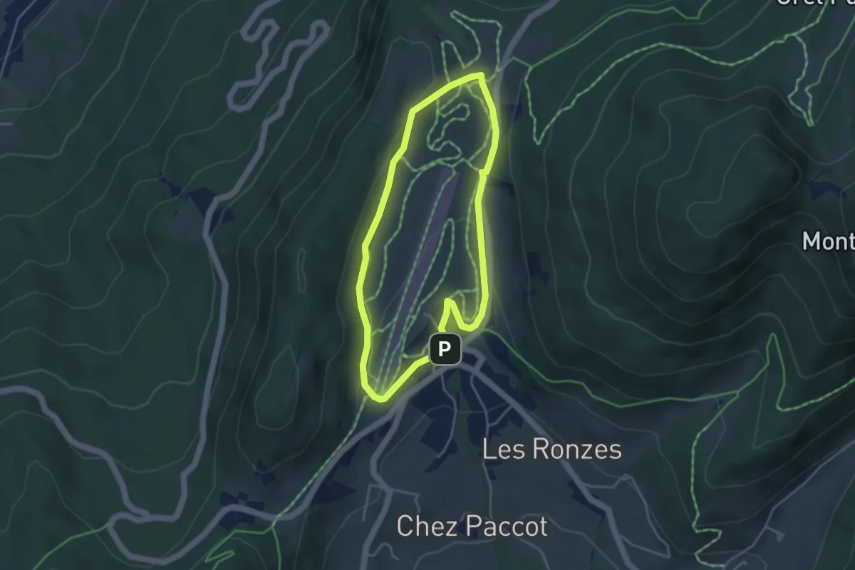
Easy · Trail
Plateau des Moises
3.4 km · ↑ 89 m · 1 h 2 min · 12 km away
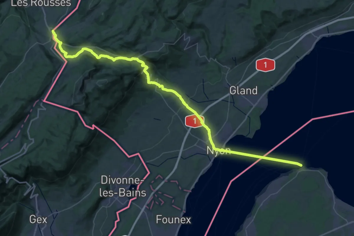
Demanding · Trail
La Cure – Nyon
26.8 km · ↑ 968 m · 8 h 24 min · 12 km away
Easy · Trail
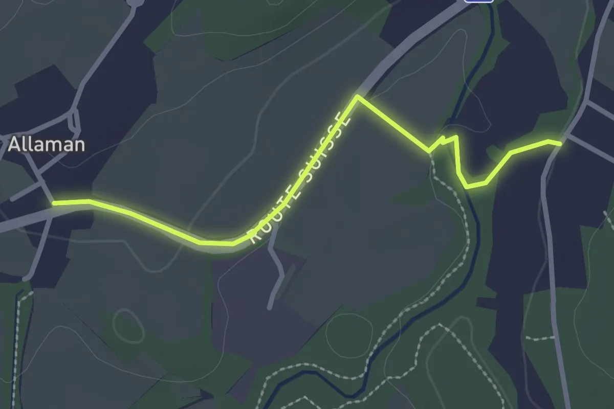
Allaman – Grand Bois
2.5 km · ↑ 22 m · 38 min · 12 km away
Easy · Trail
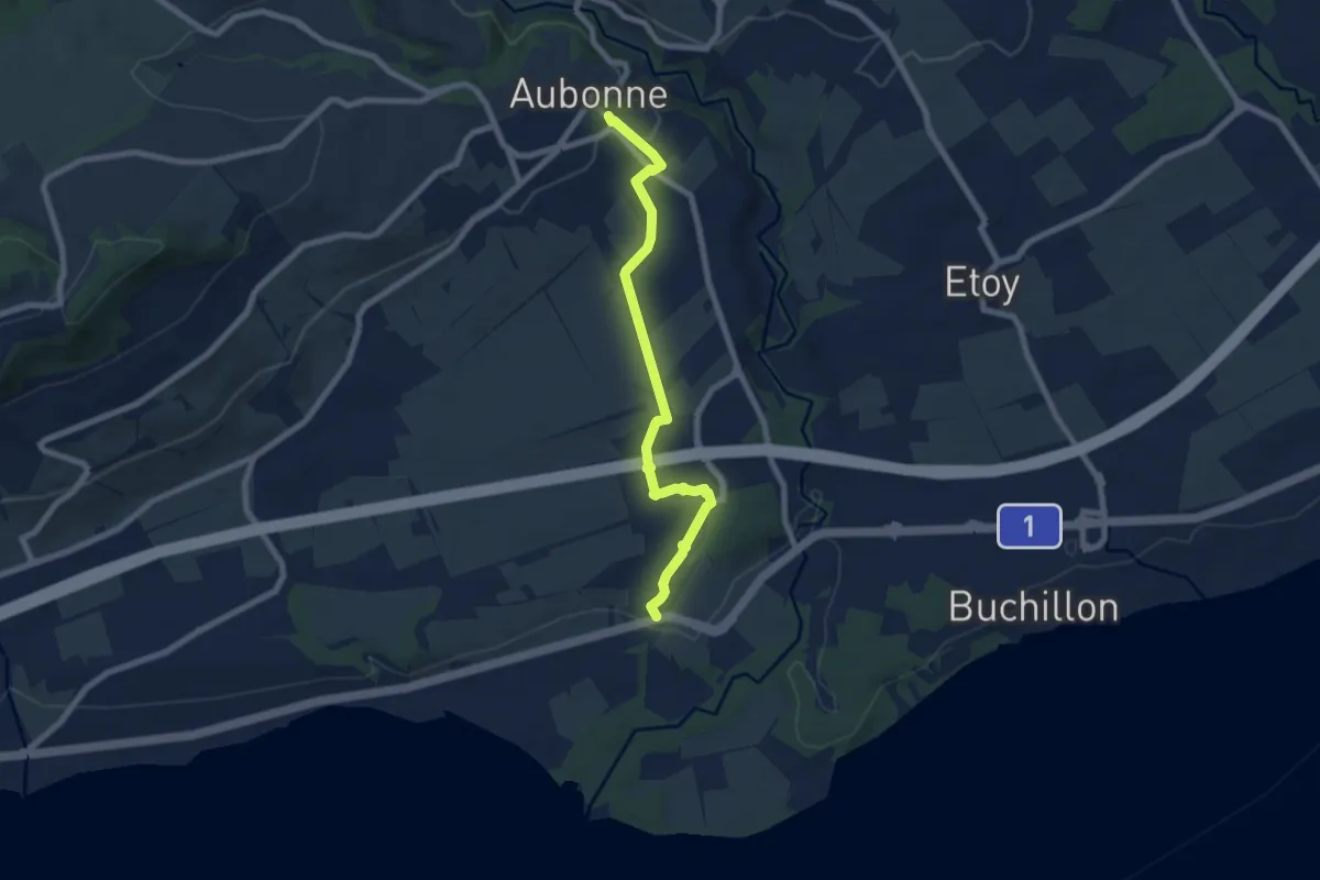
Aubonne – Allaman
7.6 km · ↑ 94 m · 2 h · 12 km away
Medium · Summit
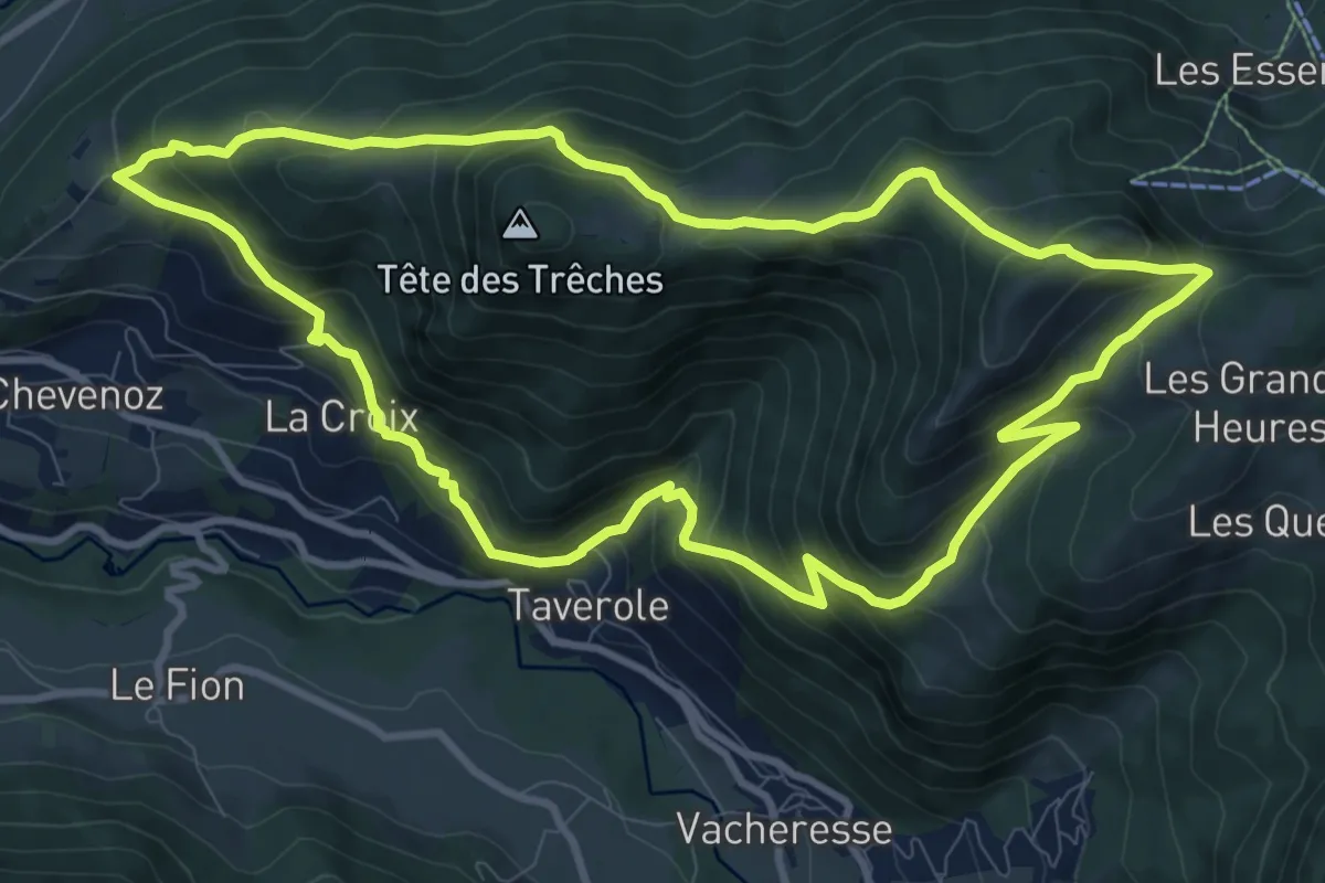
Entre lac et alpages
10.4 km · ↑ 727 m · 4 h 10 min · 14 km away
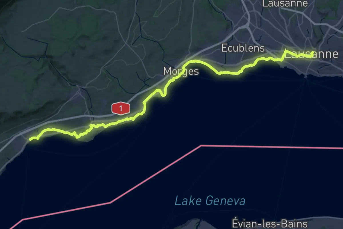
Demanding · Trail
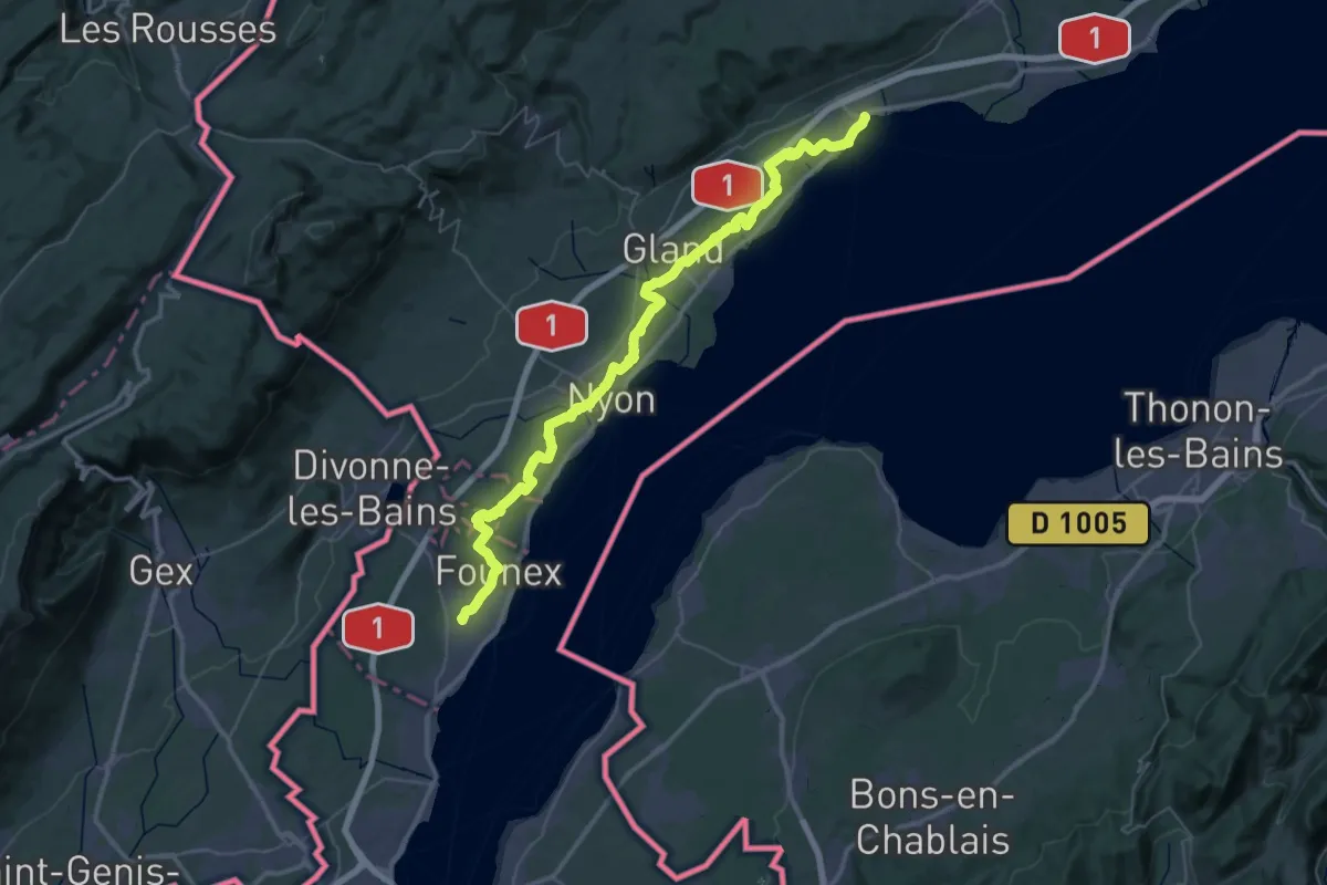
ViaJacobi
27.4 km · ↑ 186 m · 7 h 14 min · 14 km away
Demanding · Trail
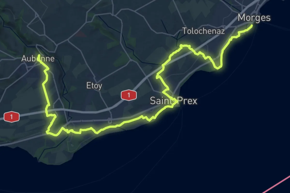
ViaJacobi
30.5 km · ↑ 281 m · 8 h 10 min · 14 km away
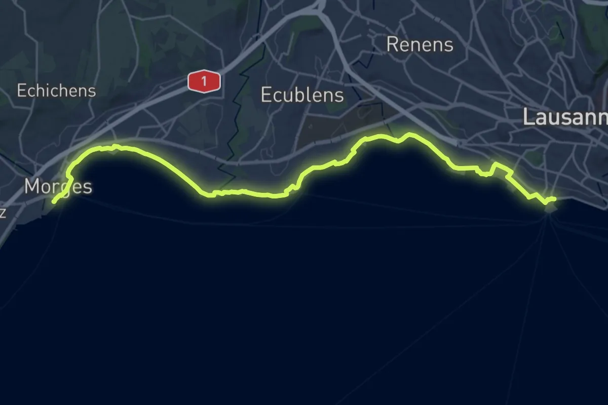
Demanding · Trail
Chemin panorama alpin
18.1 km · ↑ 243 m · 4 h 58 min · 15 km away
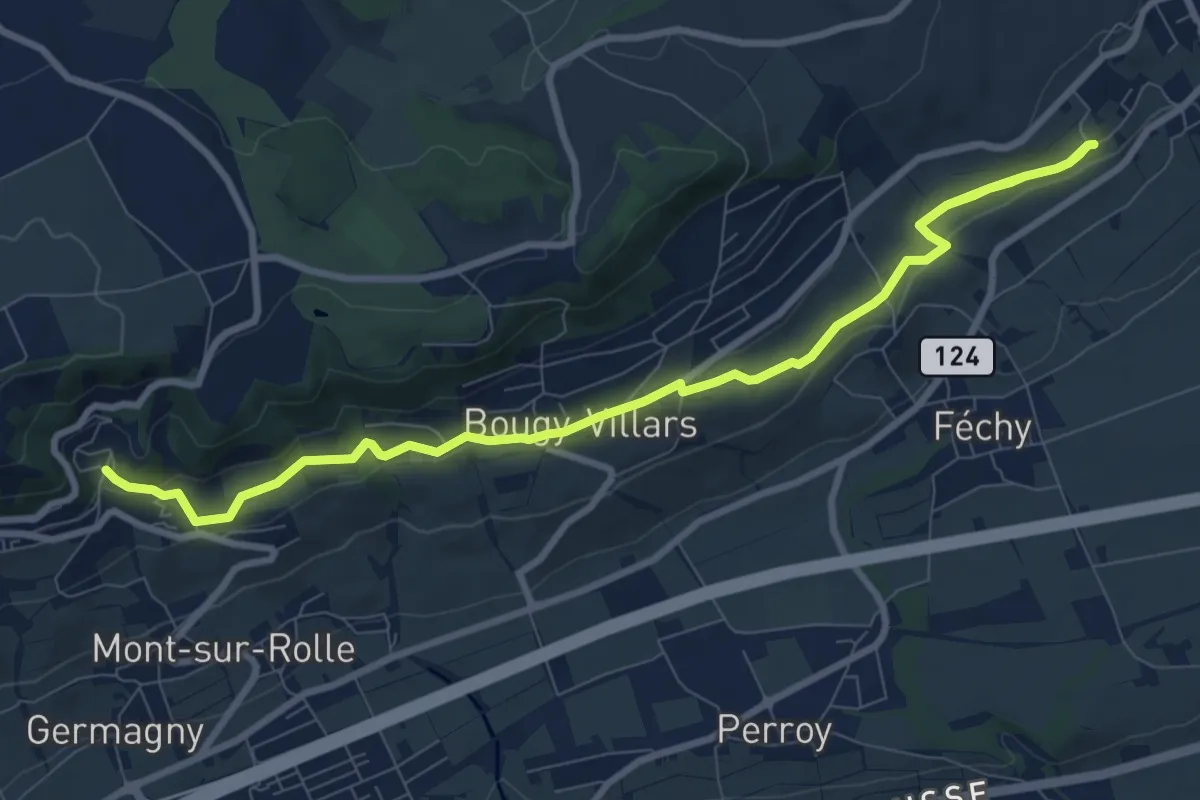
Demanding · Trail
Chemin panorama alpin
25.7 km · ↑ 95 m · 6 h 17 min · 15 km away
Medium · Trail
Mont Dessus – Aubonne
10.9 km · ↑ 201 m · 3 h · 15 km away