Trails near Tonneins
18 hikes starting within 15 km, nearest first.
Nearest first
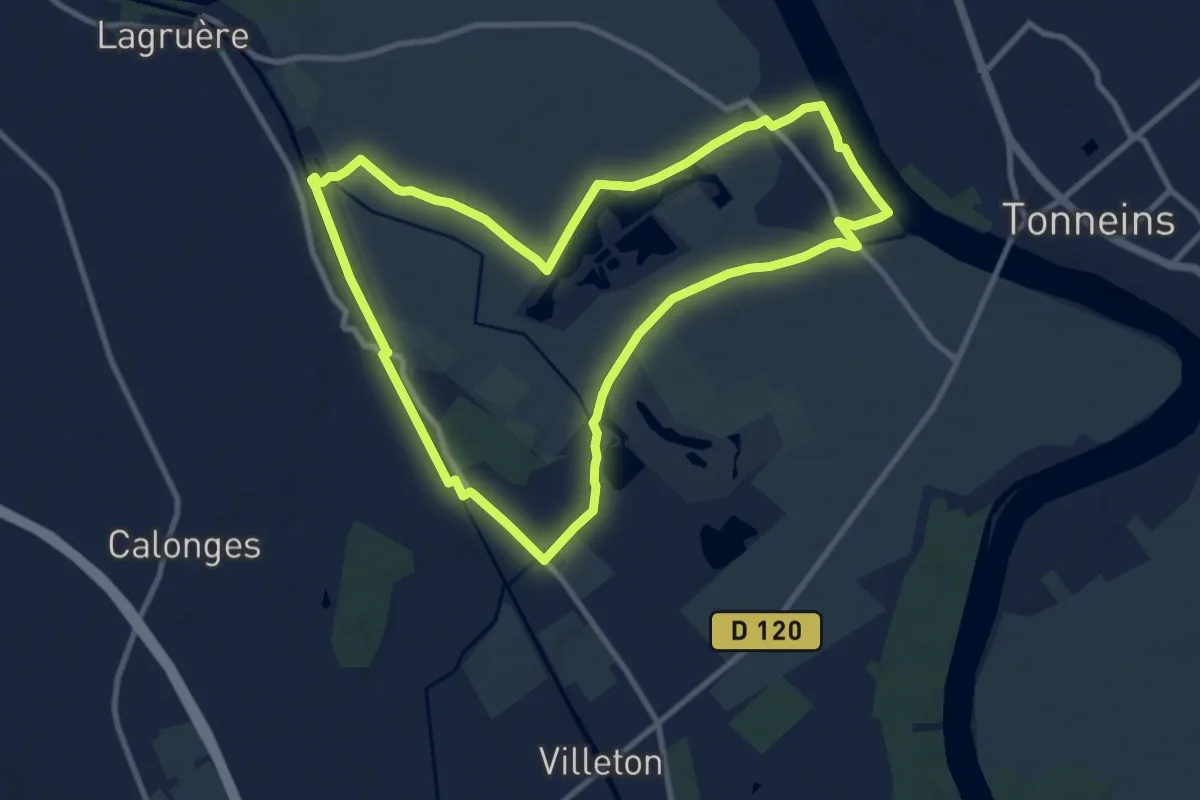
Medium · Trail
Lagruère, dans la boucle de l'Ourbise - 10.6 km
10.5 km · ↑ 13 m · 2 h 39 min · 4 km away
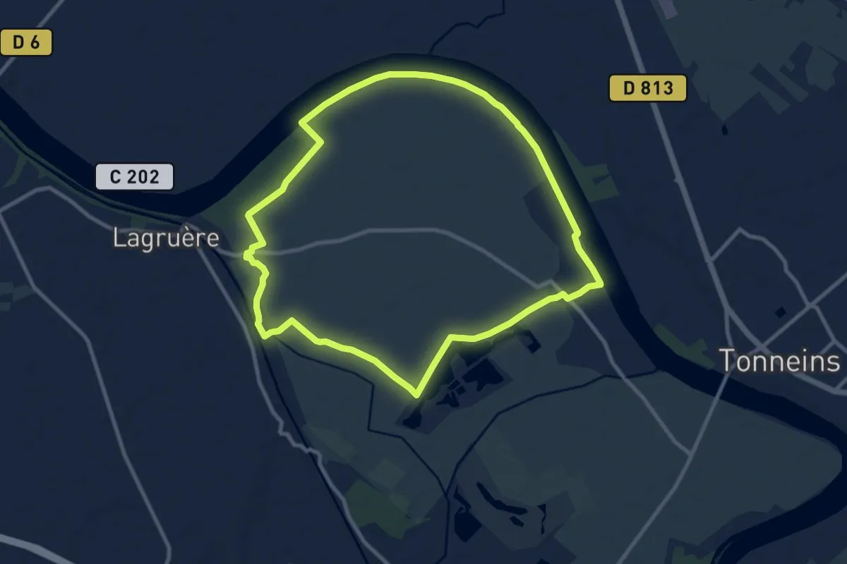
Medium · Trail
Lagruère, promenade sur les berges de Garonne - 9.8 km
9.7 km · ↑ 26 m · 2 h 28 min · 4 km away
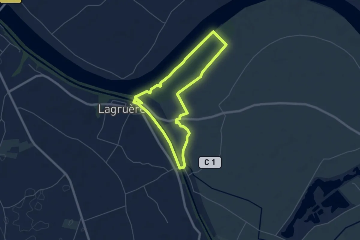
Easy · Trail
Lagruère, balade entre la Garonne et son Canal - 5.1 km
5.0 km · ↑ 18 m · 1 h 18 min · 5 km away
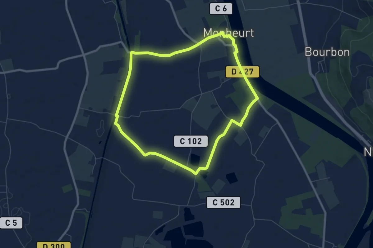
Easy · Trail
Monheurt, balade entre Garonne et canal - 7 km
6.8 km · ↑ 13 m · 1 h 44 min · 7 km away
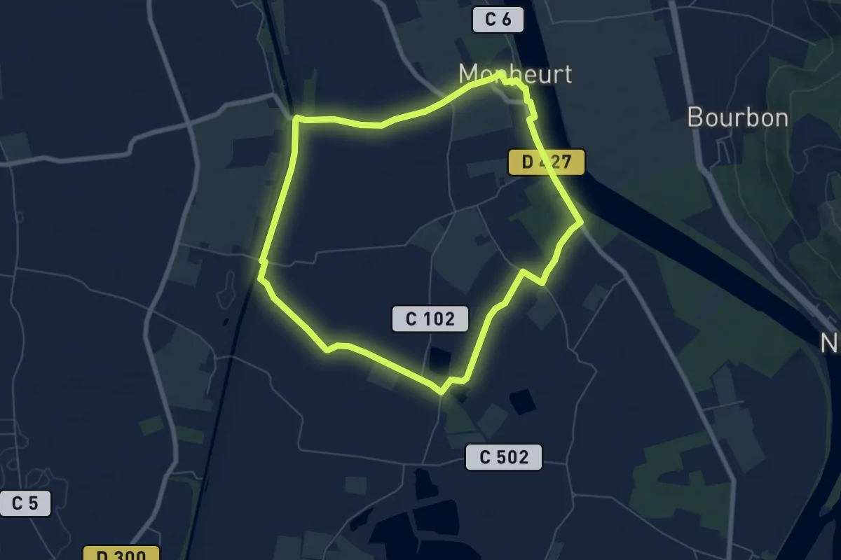
Easy · Trail
Monheurt-La Falotte, balade entre fleuve et canal - 9.1 km
6.8 km · ↑ 13 m · 1 h 44 min · 7 km away
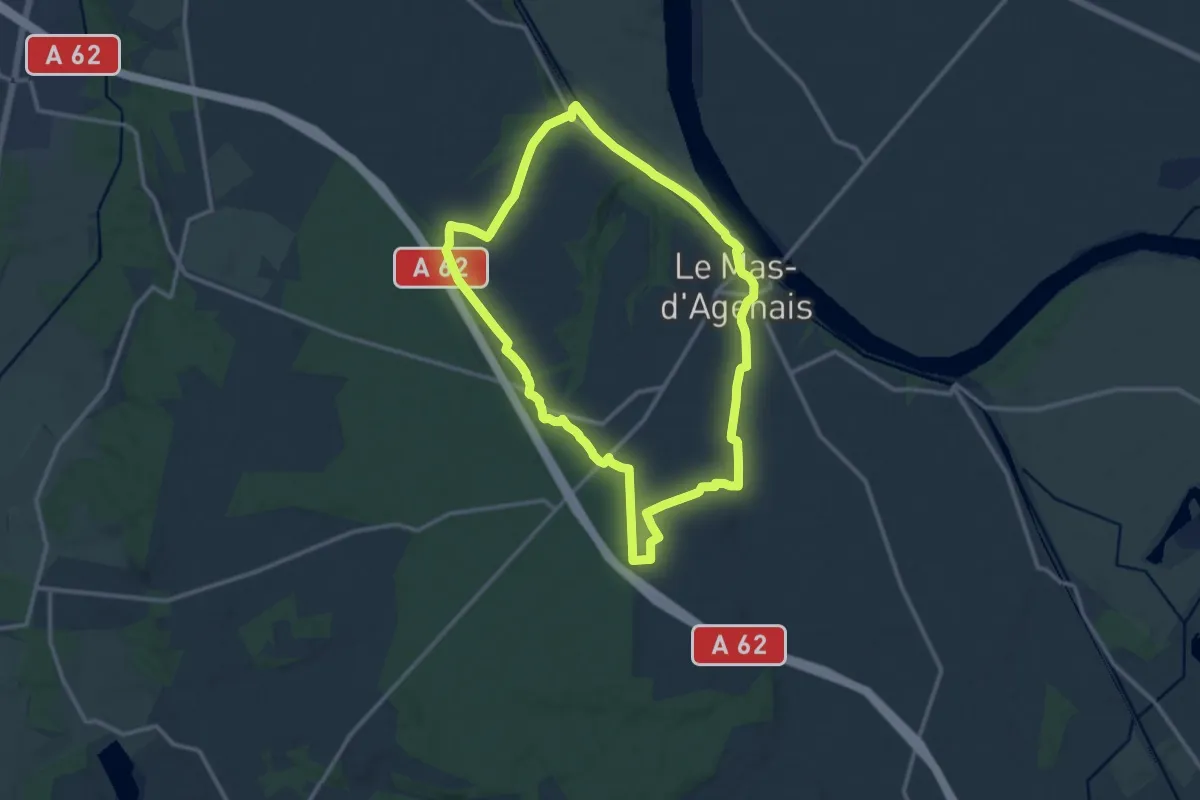
Medium · Trail
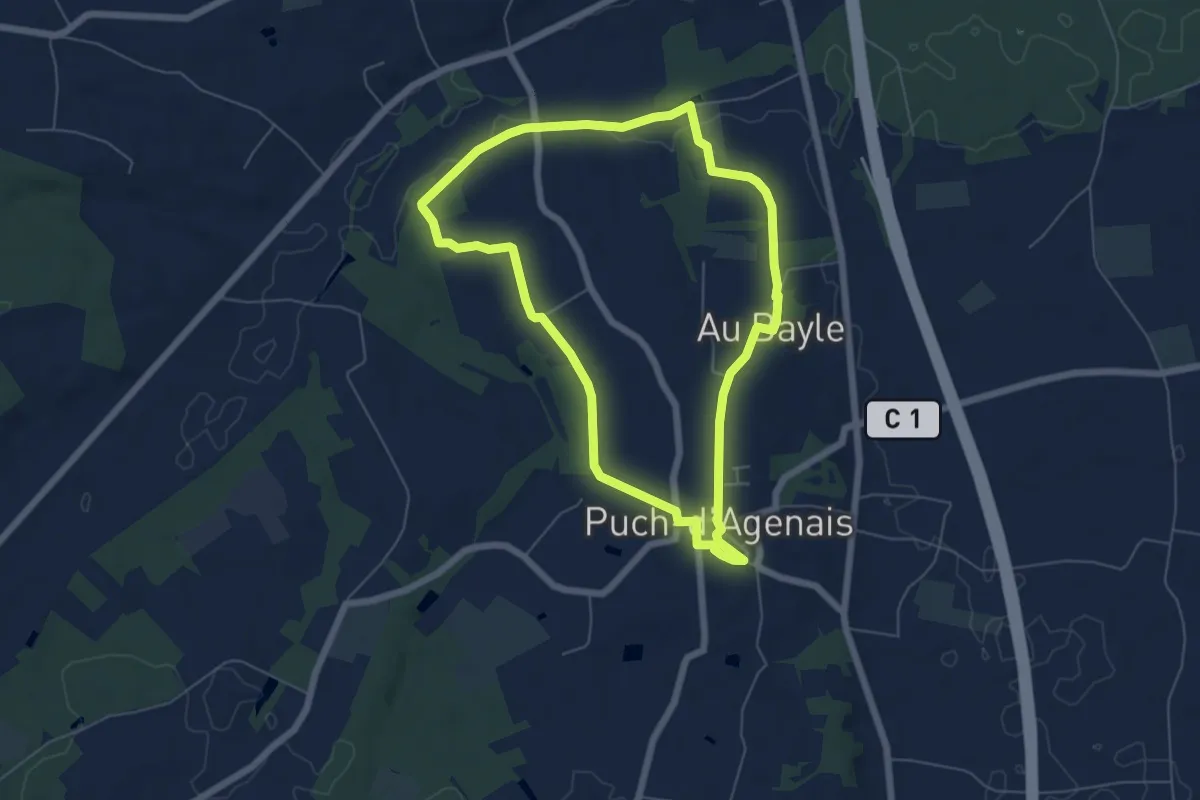
Le Mas-d'Agenais, du canal à la forêt - 12.8 km
12.6 km · ↑ 88 m · 3 h 21 min · 8 km away
Easy · Trail
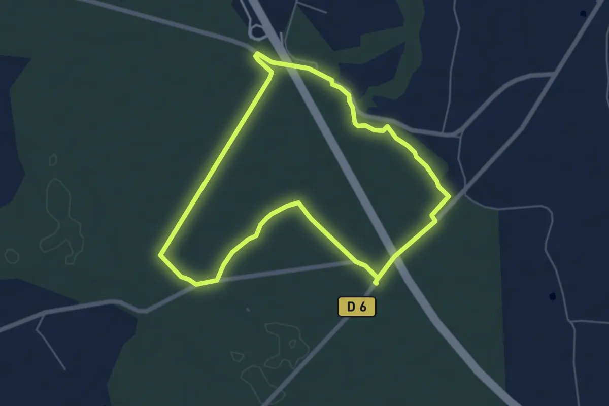
Puch-d’Agenais, dans les terrasses de Garonne - 6.2km
6.1 km · ↑ 49 m · 1 h 37 min · 9 km away
Easy · Trail
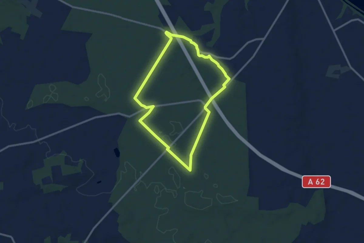
Le Mas-d'Agenais - Les princes des sous-bois en forêt du Mas (Variante) - 5.4 km
5.4 km · ↑ 27 m · 1 h 25 min · 9 km away
Easy · Trail
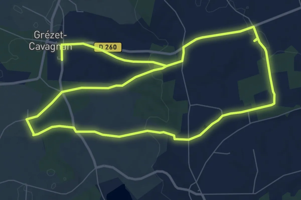
Le Mas-d'Agenais - Les princes des sous-bois en forêt du Mas - 7 km
6.9 km · ↑ 31 m · 1 h 48 min · 10 km away
Easy · Trail
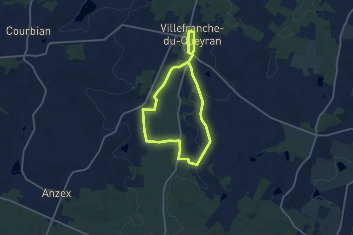
Grézet-Cavagnan, la balade de Danial - 9 km
7.8 km · ↑ 122 m · 2 h 15 min · 13 km away
Easy · Trail
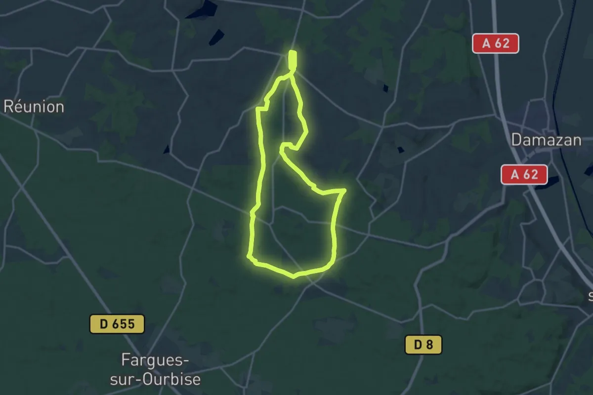
Villefranche, la bastide du Queyran (Variante) - 6 km
6.3 km · ↑ 47 m · 1 h 40 min · 13 km away
Medium · Trail
Villefranche, la bastide du Queyran - 15.2 km
14.9 km · ↑ 191 m · 4 h 8 min · 13 km away
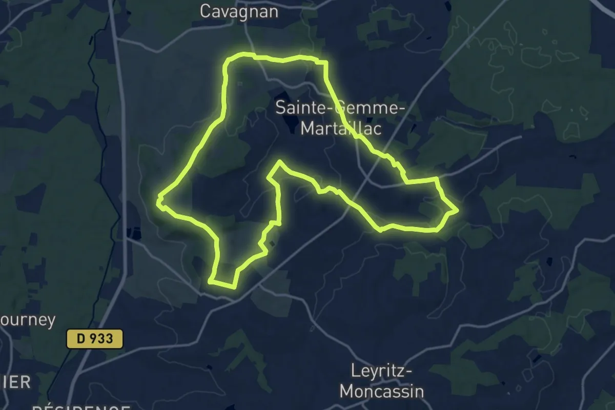
Medium · Trail
Labastide-Castel-Amouroux à ciel ouvert - 17.7 km
17.1 km · ↑ 262 m · 4 h 50 min · 14 km away
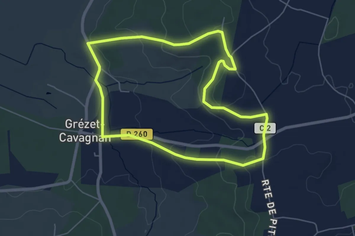
Easy · Trail
Grézet-Cavagnan, vers le Grand Bois de Lanau - 5.2 km
4.8 km · ↑ 95 m · 1 h 24 min · 14 km away
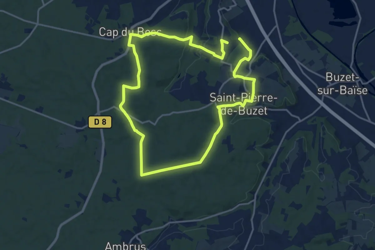
Medium · Trail
Saint-Pierre-de-Buzet, la randonnée du Cap-du-Bosc - 12 km
13.6 km · ↑ 330 m · 4 h 7 min · 14 km away
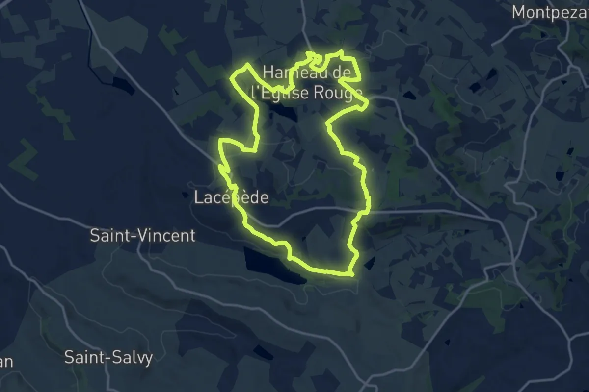
Medium · Trail
Saint-Sardos / Lacépède, cultures et patrimoines en Vallée du Lot
14.0 km · ↑ 213 m · 3 h 57 min · 14 km away
Easy · Trail
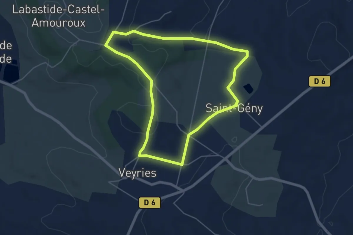
Labastide-Castel-Amouroux vers l’Église de Saint-Gény - 5.1 km
4.6 km · ↑ 87 m · 1 h 20 min · 14 km away
Medium · Trail
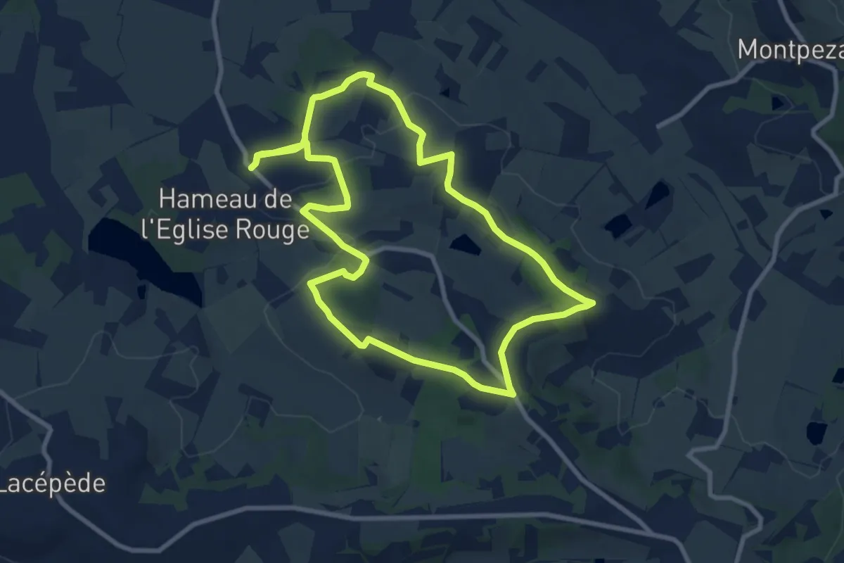
Saint-Sardos, une bastide éphémère
8.9 km · ↑ 105 m · 2 h 27 min · 15 km away