Trails near Trévoux
35 hikes starting within 15 km, nearest first.
Nearest first
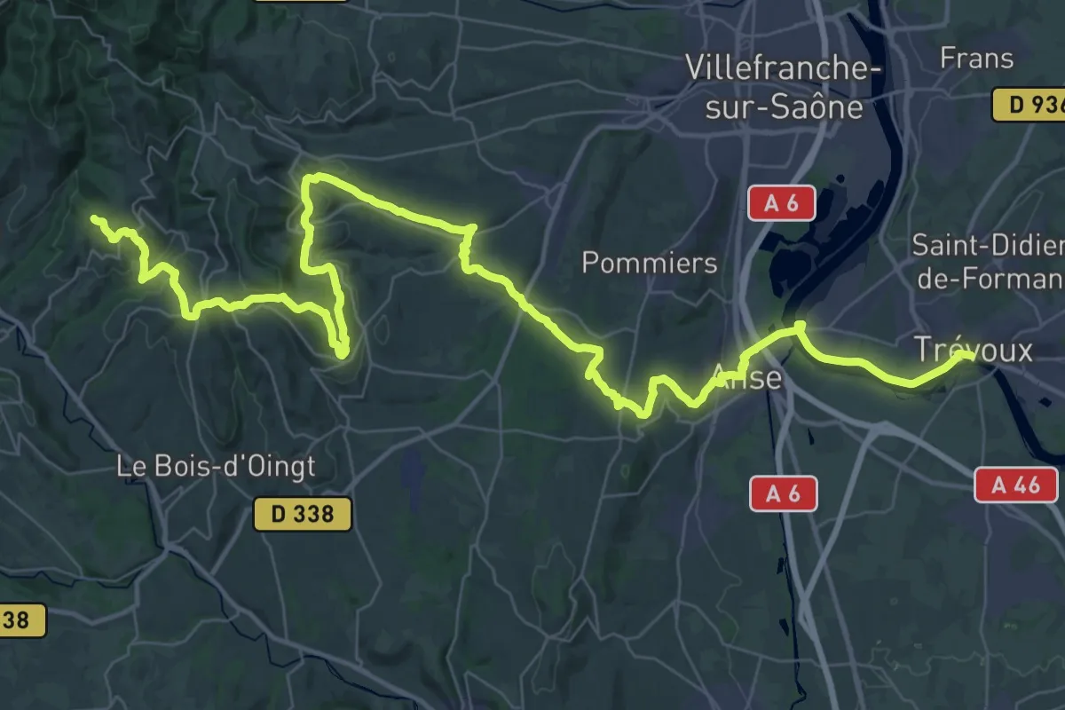
Demanding · Trail
Beaujolais au Bugey, de Sainte-Paule à Trévoux
30.8 km · ↑ 861 m · 9 h 24 min · under 1 km away
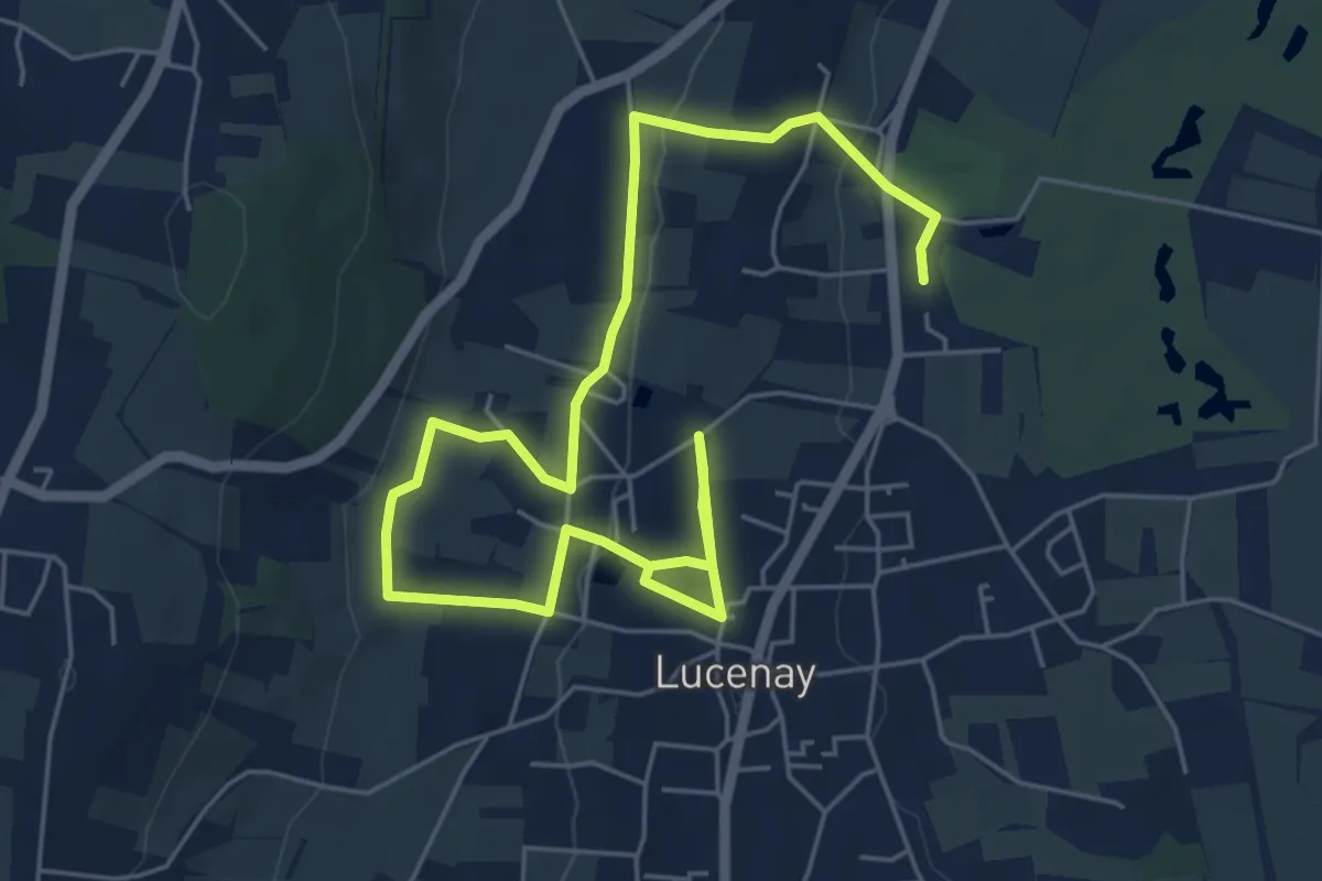
Medium · Trail
Les Carrières
8.4 km · ↑ 193 m · 2 h 25 min · 6 km away
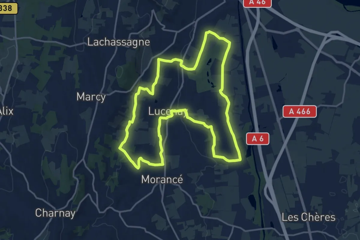
Medium · Trail
Le Grand Tour
13.5 km · ↑ 160 m · 3 h 44 min · 6 km away
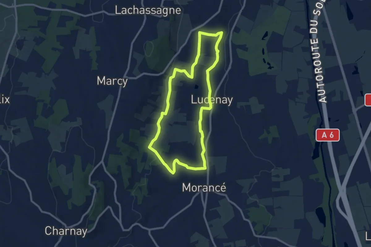
Easy · Trail
Géosite-les carrières de pierres blanches
7.4 km · ↑ 135 m · 2 h 8 min · 6 km away
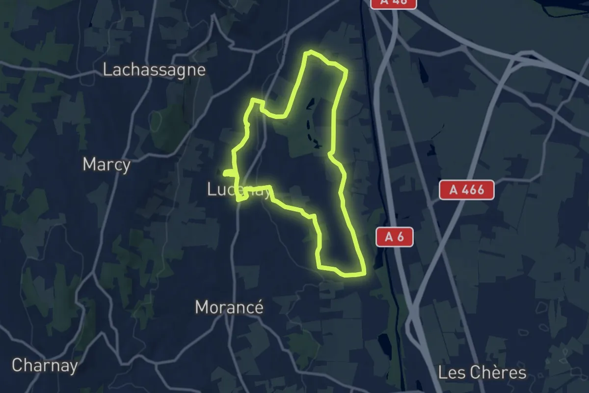
Medium · Trail
En direction du Golf et des cultures maraichères
9.5 km · ↑ 96 m · 2 h 35 min · 7 km away
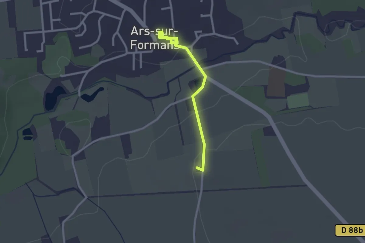
Easy · Pilgrim path
Parcours Miséricorde
1.1 km · ↑ 21 m · 19 min · 7 km away
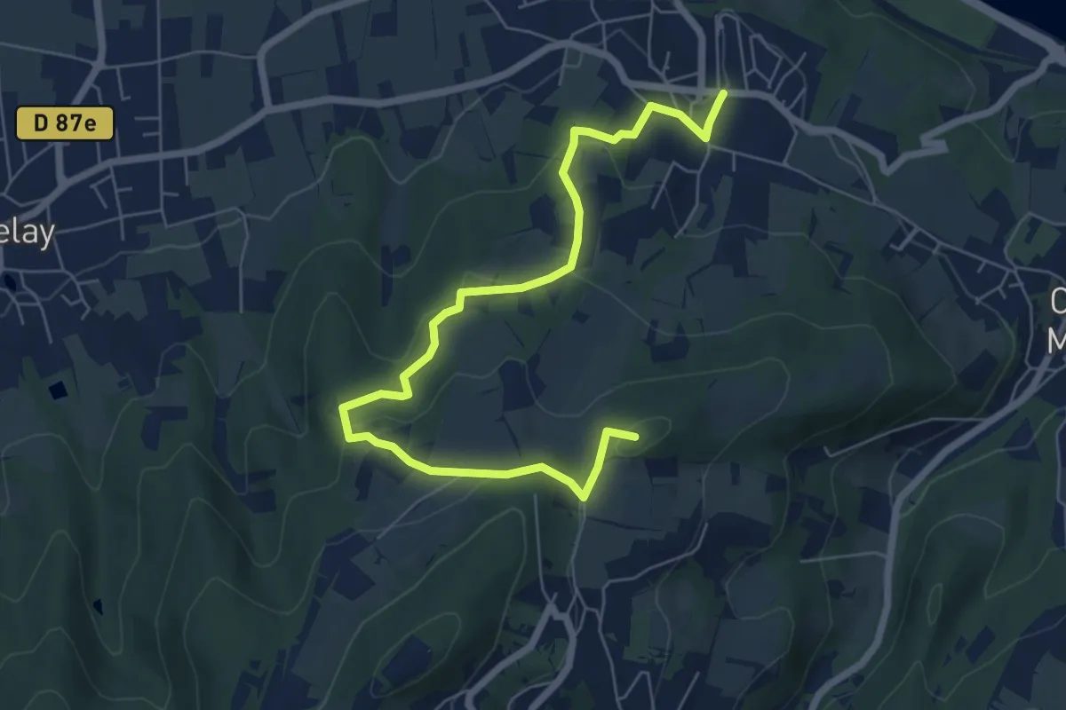
Easy · Summit
Sur les traces d’Ampèreq
7.9 km · ↑ 267 m · 2 h 26 min · 8 km away
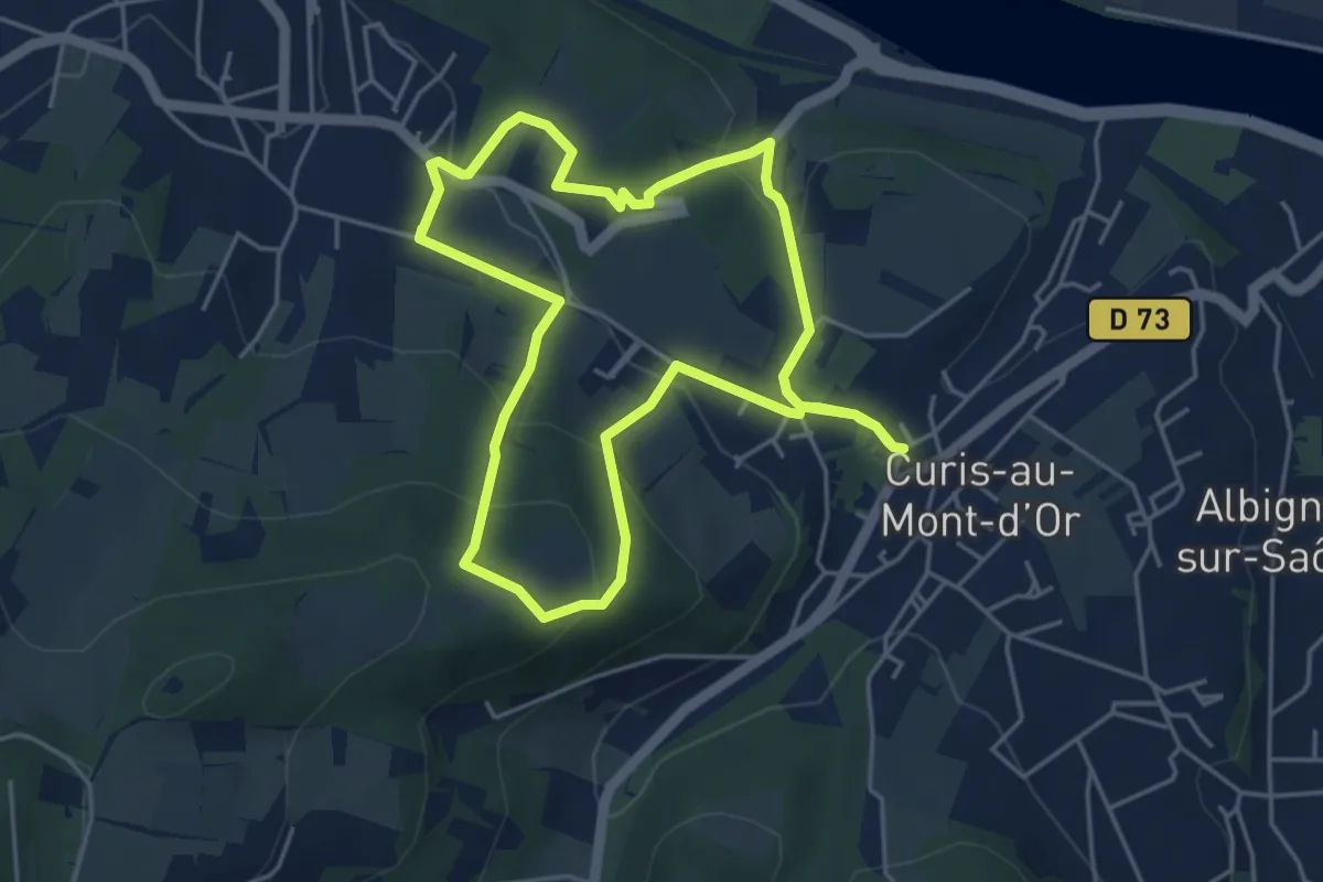
Easy · Trail
Du Thou aux Gorges d’Enfer
4.6 km · ↑ 223 m · 1 h 37 min · 8 km away
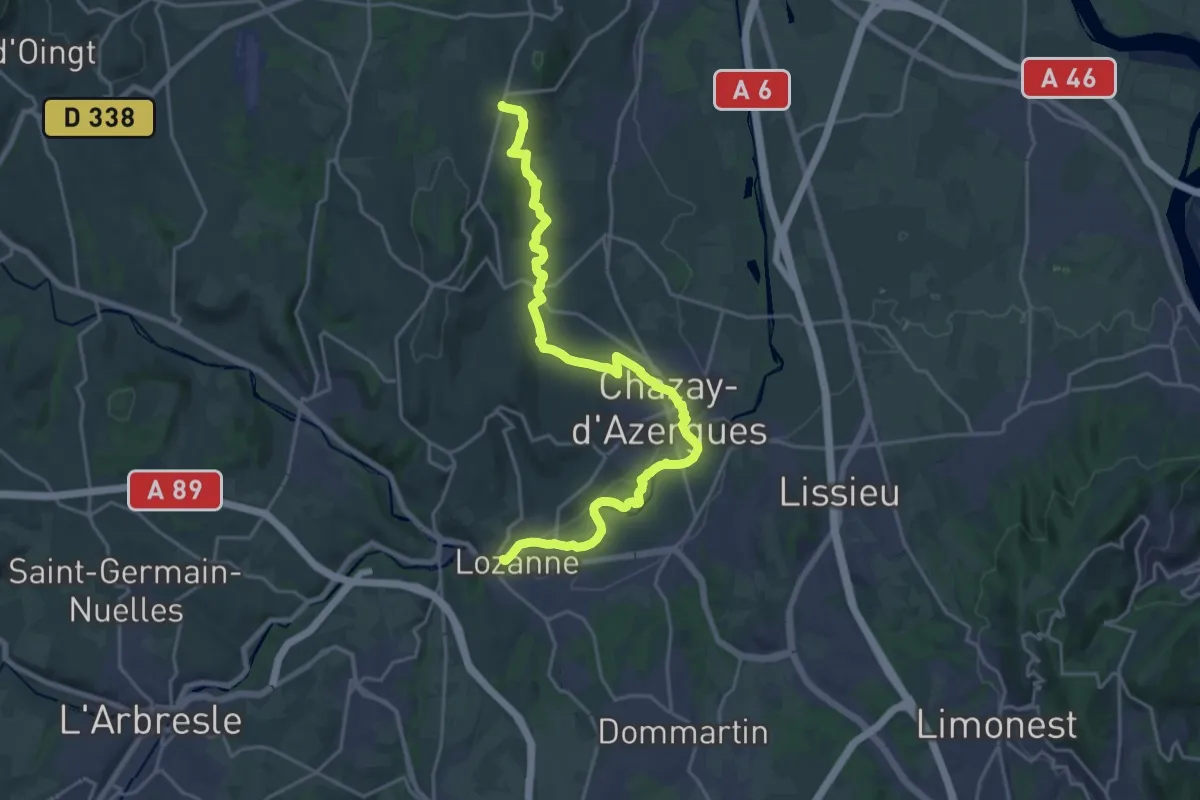
Demanding · Trail
De Lozanne à Marcy
24.0 km · ↑ 320 m · 6 h 21 min · 8 km away
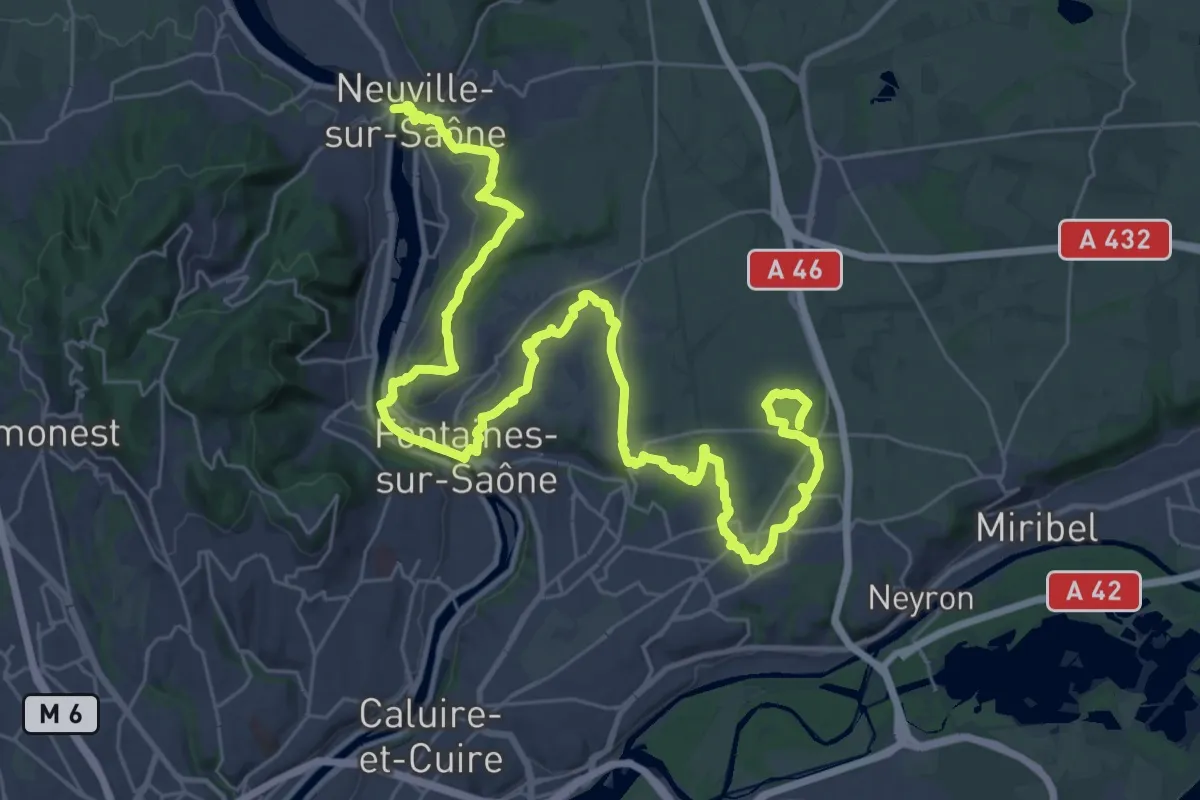
Demanding · Trail
Tour de Lyon, de la Saône au Fort de Vancia
24.4 km · ↑ 420 m · 6 h 56 min · 9 km away
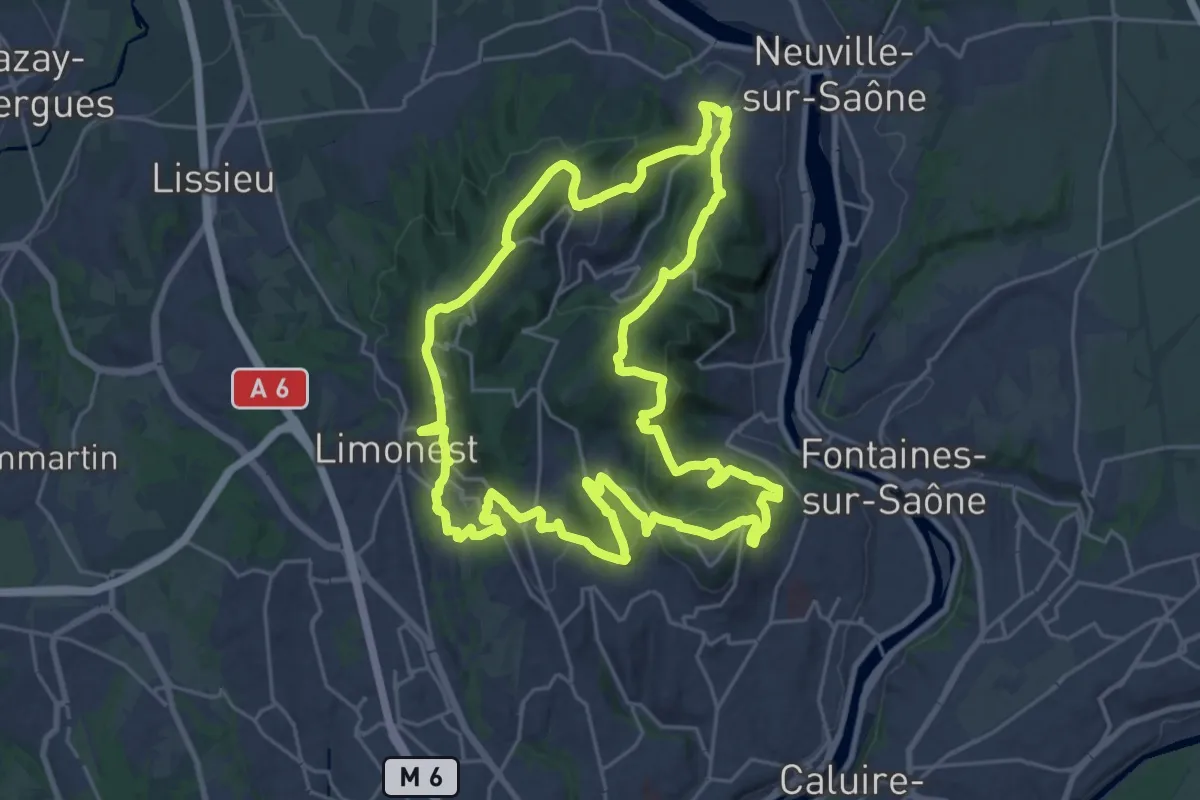
Demanding · Summit
Tour intérieur des Monts d'Or
26.2 km · ↑ 1031 m · 8 h 46 min · 9 km away
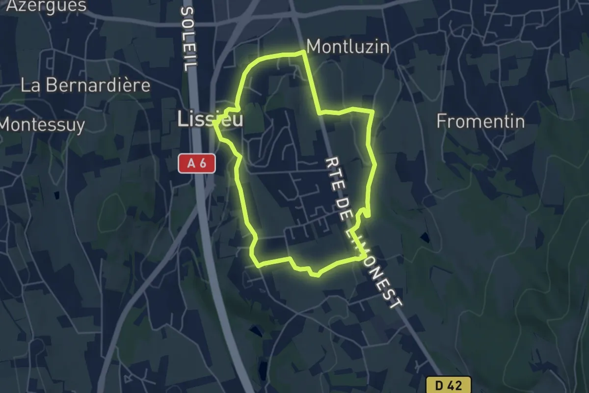
Easy · Trail
Sentier Secret des Pierres et du Paysage
4.6 km · ↑ 111 m · 1 h 23 min · 9 km away
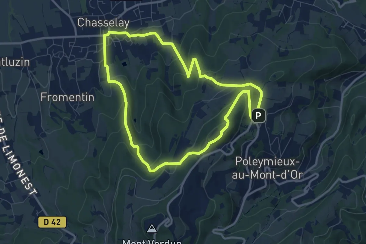
Medium · Summit
Sentier Géologique des Monts d'Or
7.9 km · ↑ 338 m · 2 h 43 min · 9 km away
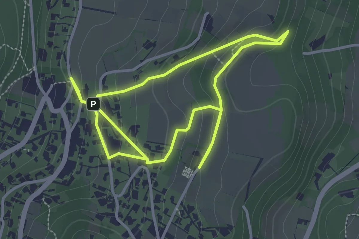
Easy · Trail
Sentier des Cabornes
5.7 km · ↑ 268 m · 1 h 56 min · 9 km away
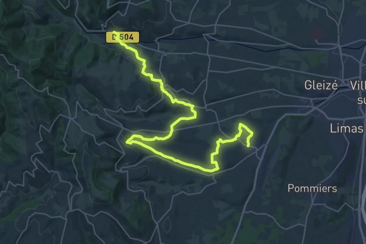
Medium · Trail
De Liergues à Rivolet
15.3 km · ↑ 368 m · 4 h 34 min · 9 km away
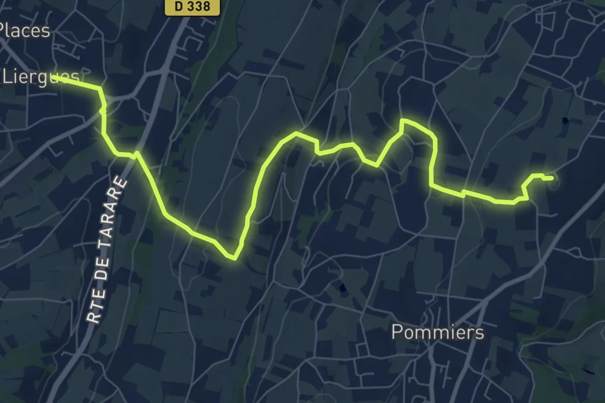
Medium · Summit
De Marcy à Liergues
9.8 km · ↑ 321 m · 3 h 1 min · 9 km away
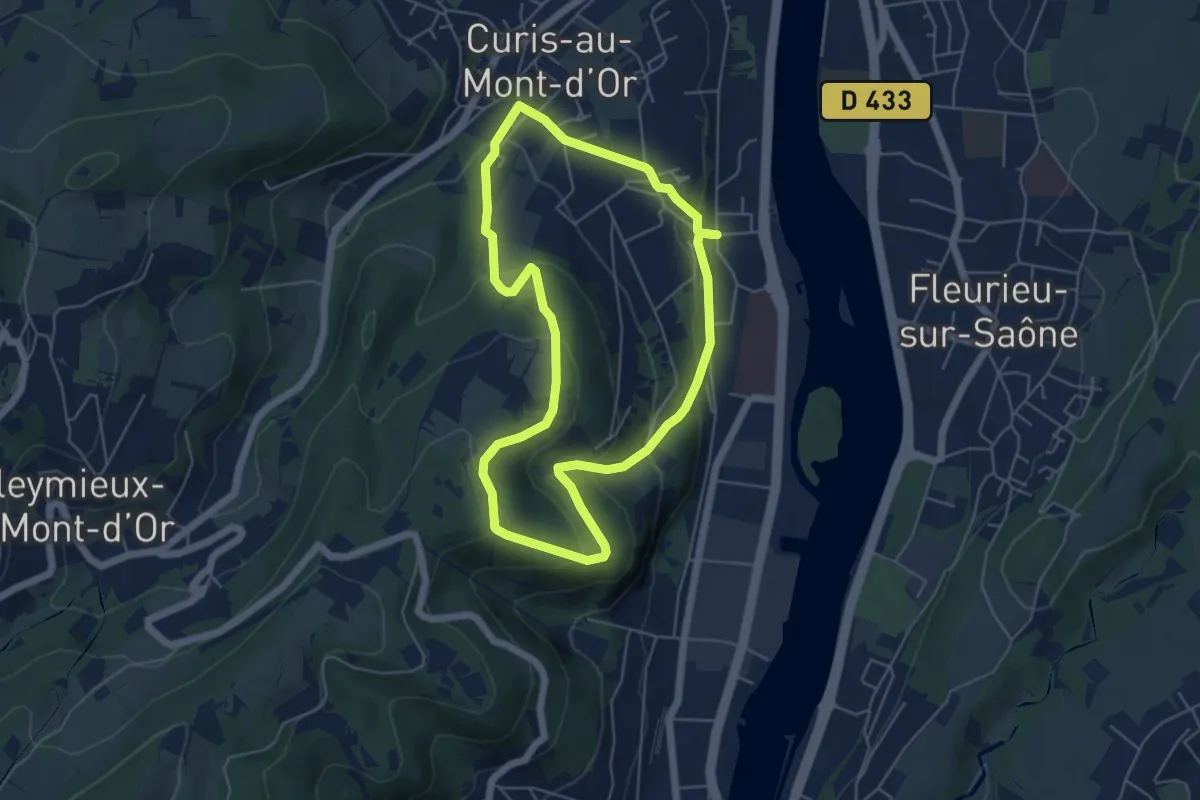
Easy · Trail
Le Crêt sur la Saône
5.2 km · ↑ 242 m · 1 h 49 min · 10 km away
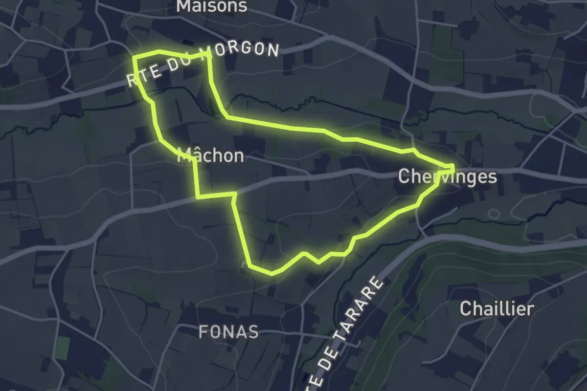
Easy · Trail
Le Balcon du Morgon
4.0 km · ↑ 55 m · 1 h 7 min · 10 km away
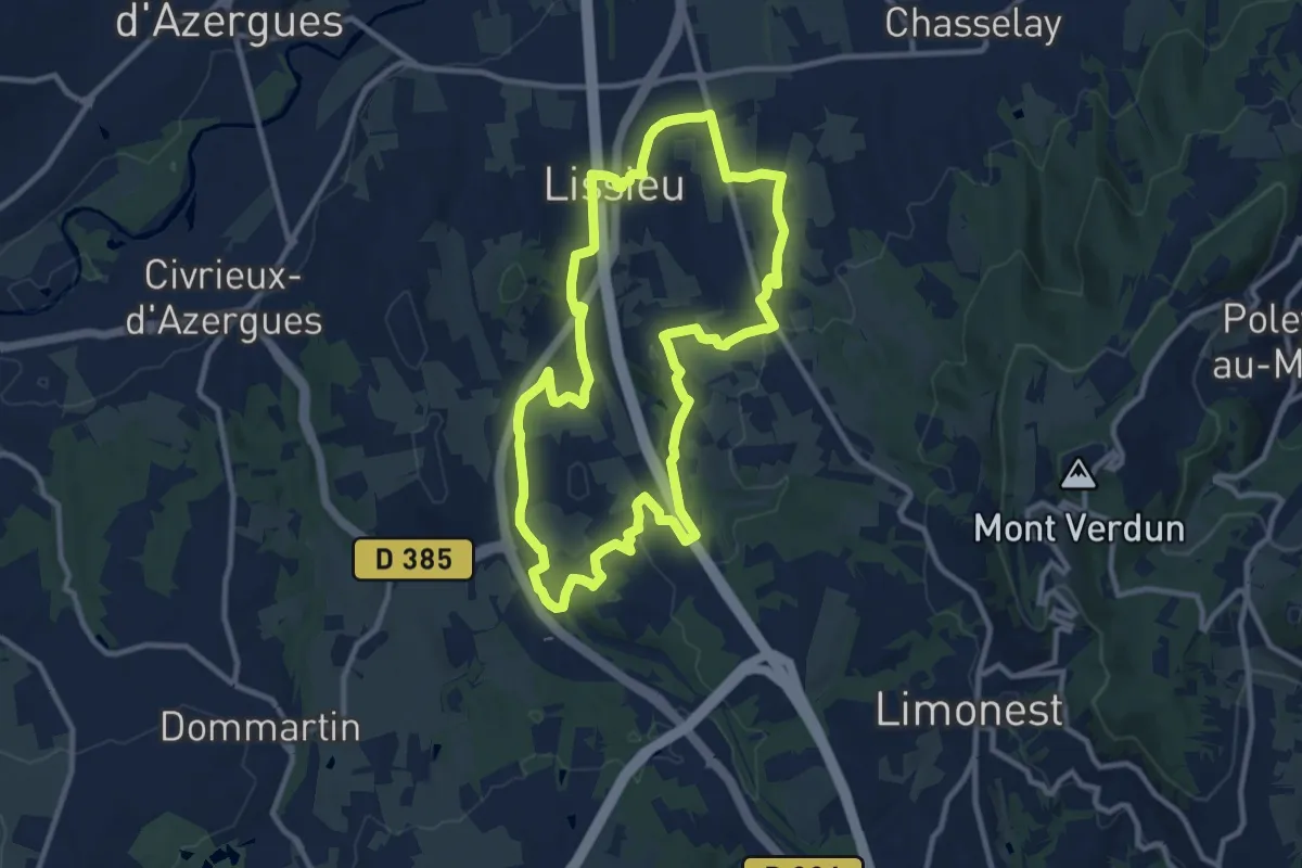
Medium · Trail
Sentier Géologie et Paysage
10.6 km · ↑ 205 m · 3 h 6 min · 10 km away
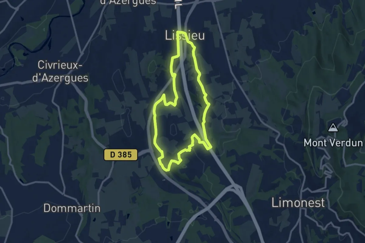
Medium · Trail
Sentier Secret des Pierres et du Patrimoine
8.1 km · ↑ 169 m · 2 h 23 min · 10 km away
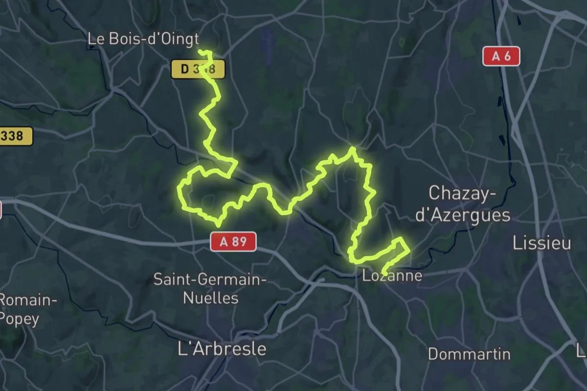
Demanding · Trail
De Bagnols à Lozanne
25.9 km · ↑ 737 m · 7 h 59 min · 12 km away
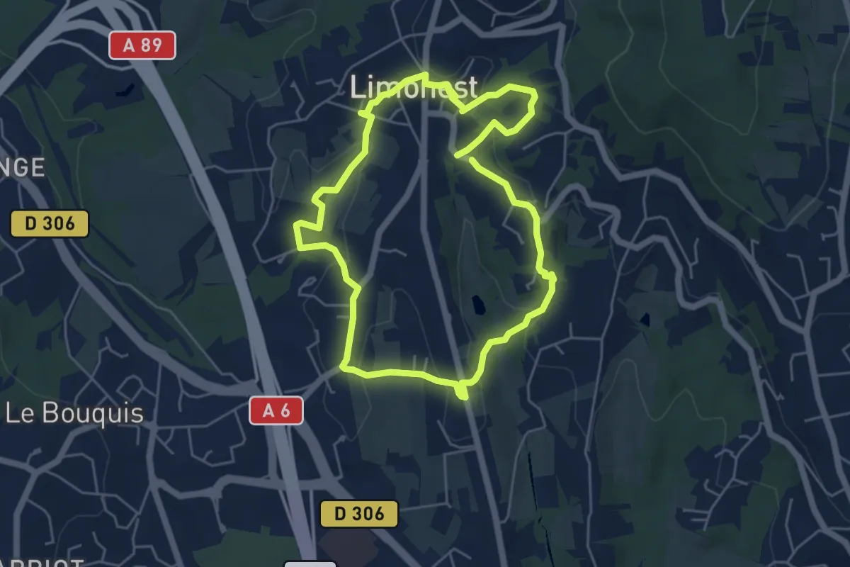
Easy · Trail
Limonest, le centre incontournable
4.7 km · ↑ 148 m · 1 h 30 min · 12 km away
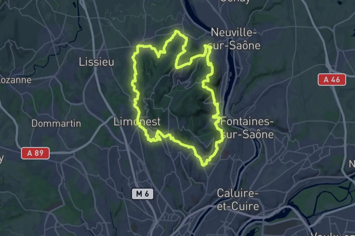
Demanding · Summit
Grand Tour des Monts d'Or
30.2 km · ↑ 1096 m · 9 h 56 min · 12 km away
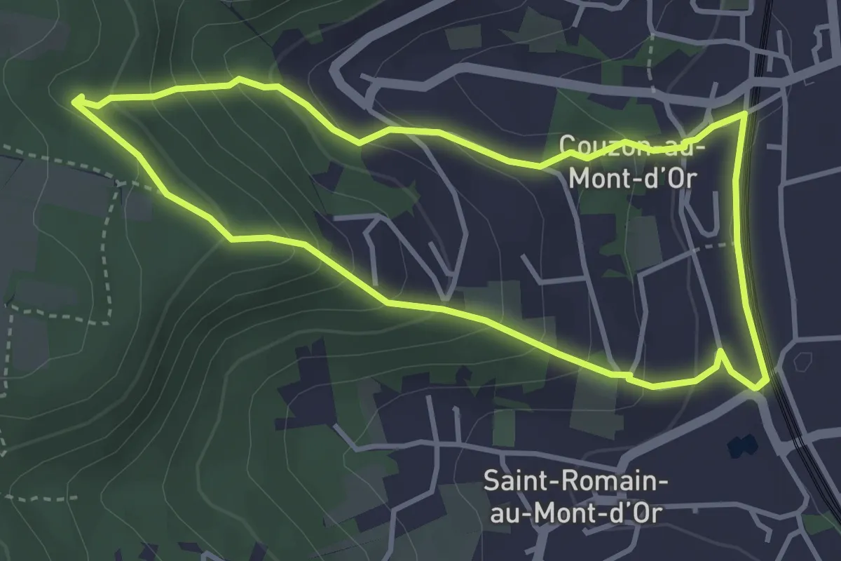
Easy · Trail
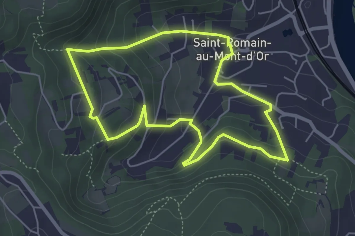
De carrières en Fricoule
3.5 km · ↑ 241 m · 1 h 24 min · 12 km away
Easy · Trail
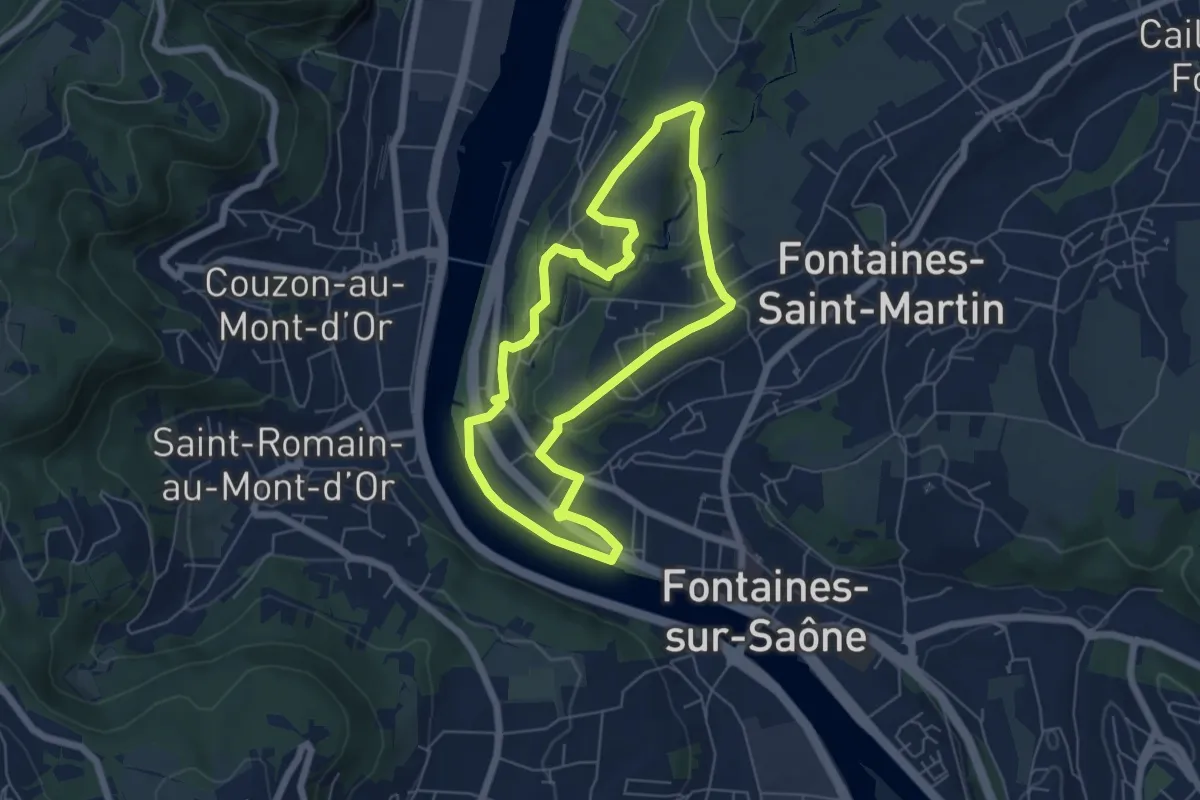
En suivant l'Aqueduc
4.3 km · ↑ 214 m · 1 h 32 min · 13 km away
Easy · Trail
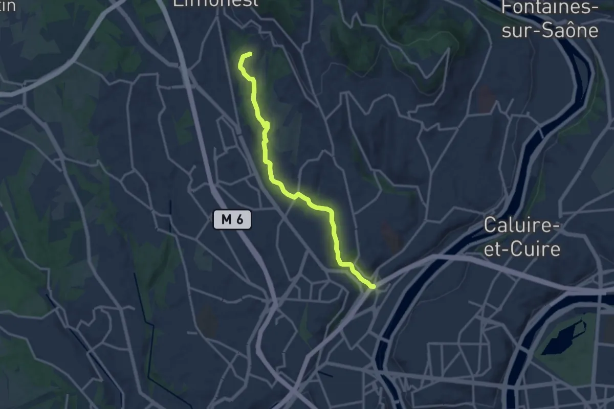
Place de la République
5.7 km · ↑ 99 m · 1 h 38 min · 13 km away
Medium · Trail
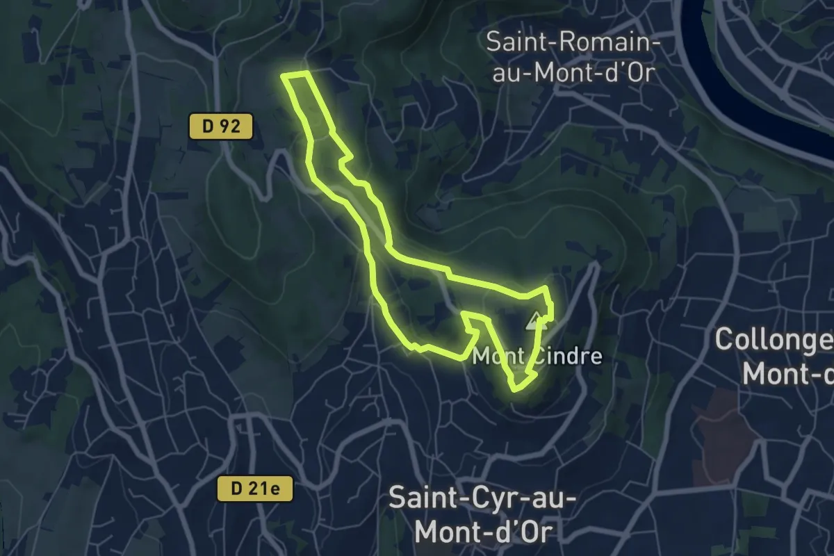
Promenade de Rochecardon
11.8 km · ↑ 216 m · 3 h 15 min · 13 km away
Easy · Summit
Sentier de l'Homme et du Paysage
5.7 km · ↑ 154 m · 1 h 46 min · 13 km away
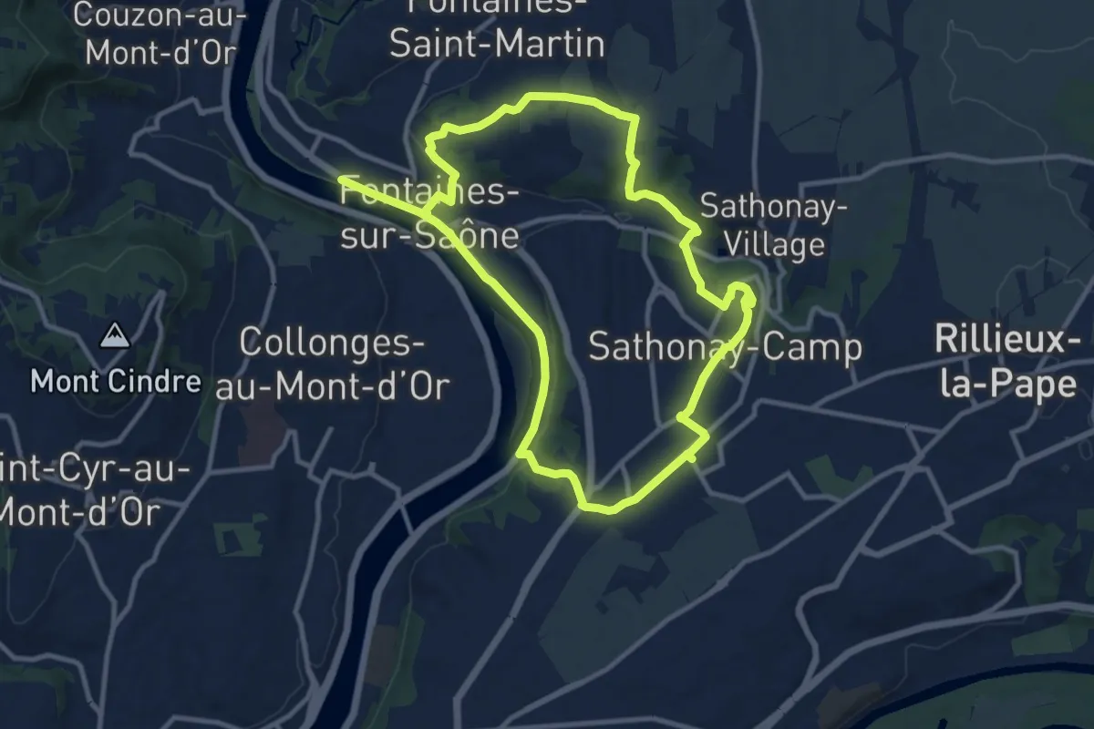
Demanding · Trail
De Fontaines-sur-Saône à Sathonay-Camp
20.4 km · ↑ 365 m · 5 h 37 min · 13 km away
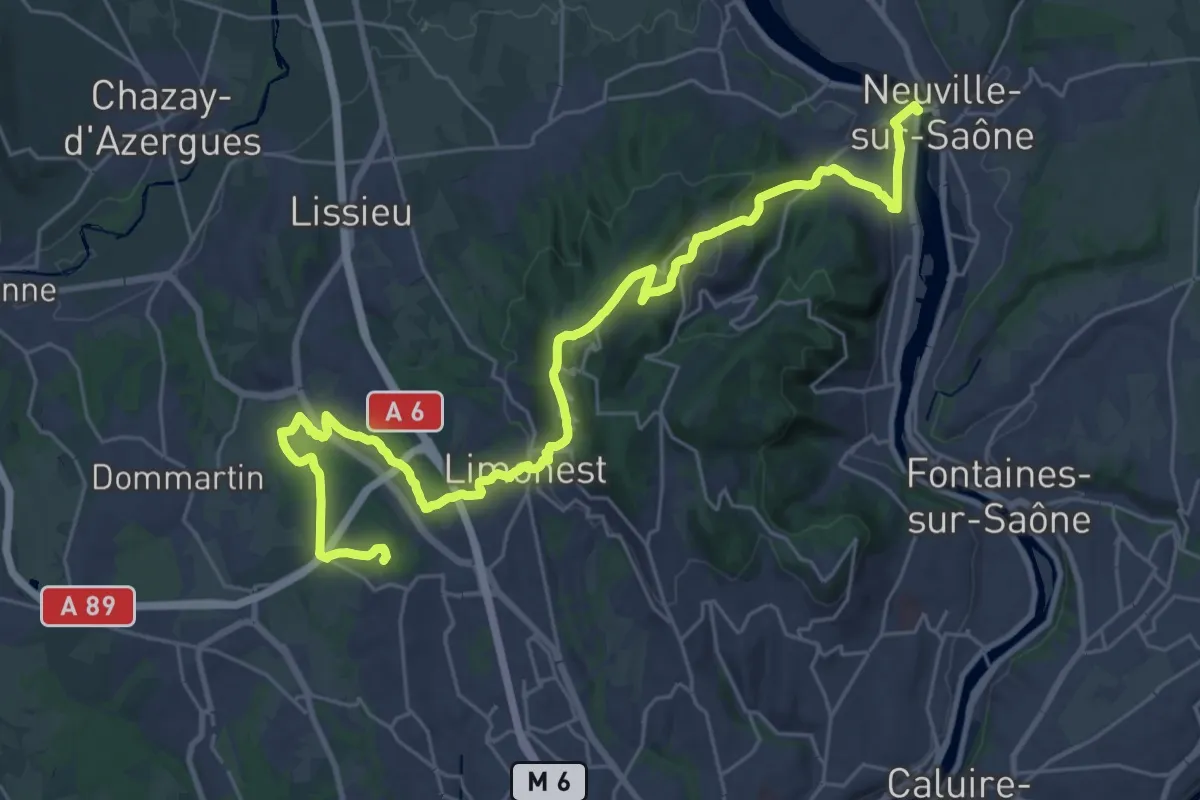
Medium · Trail
Tour de Lyon, du Fort du Paillet à la Saône
17.8 km · ↑ 349 m · 5 h 19 min · 13 km away
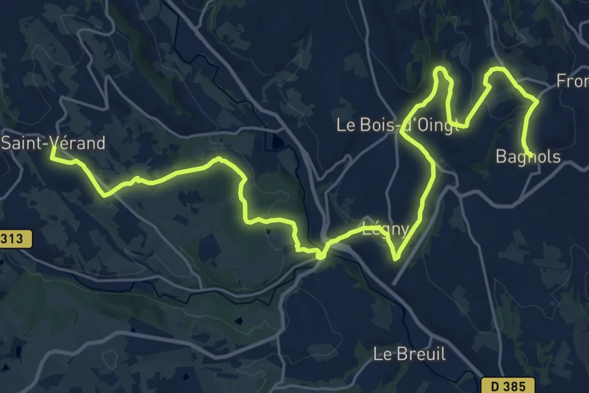
Demanding · Trail
De Saint Vérand à Bagnols
26.3 km · ↑ 659 m · 7 h 39 min · 13 km away
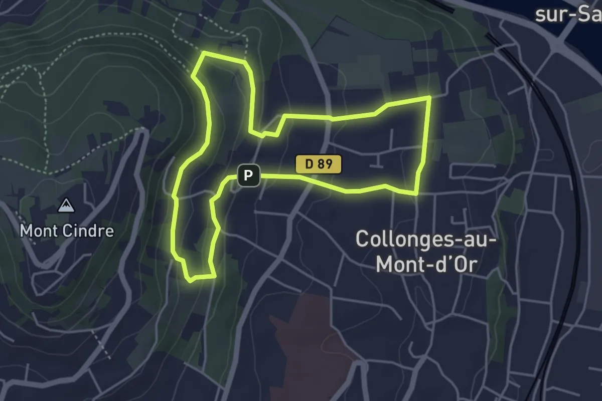
Easy · Trail
Chemin de l'Eau
4.1 km · ↑ 139 m · 1 h 19 min · 14 km away
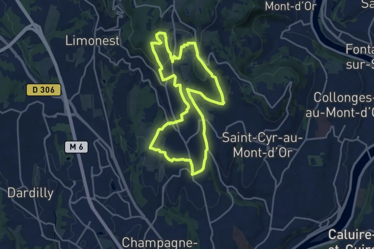
Medium · Trail
Tour de Saint-Didier
11.3 km · ↑ 411 m · 3 h 42 min · 14 km away
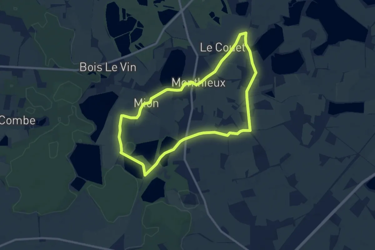
Easy · Trail
Observatoire sur l'Étang Grange Volet
7.2 km · ↑ 14 m · 1 h 50 min · 14 km away
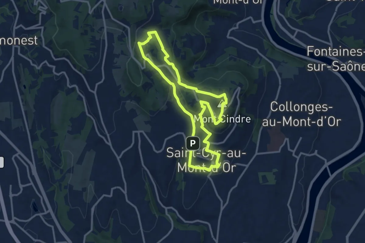
Medium · Summit
Du mont Thou au mont Cindre
8.8 km · ↑ 246 m · 2 h 44 min · 14 km away