Trails near Vétraz-Monthoux
72 hikes starting within 15 km, nearest first.
Nearest first, page 2 of 2
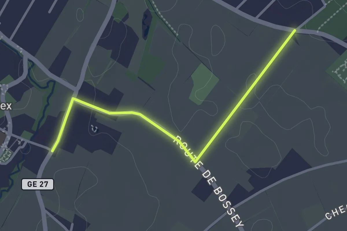
Easy · Trail
Troinex - Grande Tuillière
2.8 km · ↑ 19 m · 42 min · 8 km away
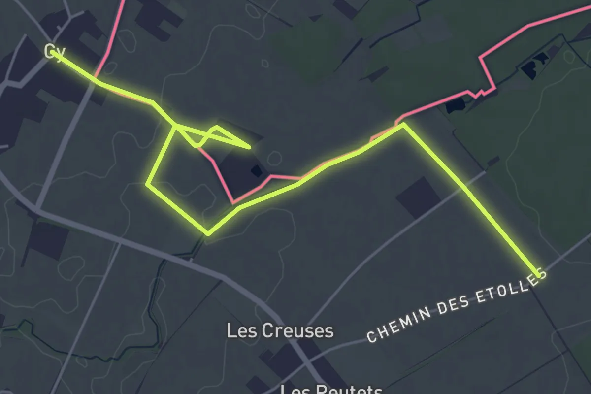
Easy · Trail
Gy - Les Longerayes
6.5 km · ↑ 17 m · 1 h 34 min · 9 km away
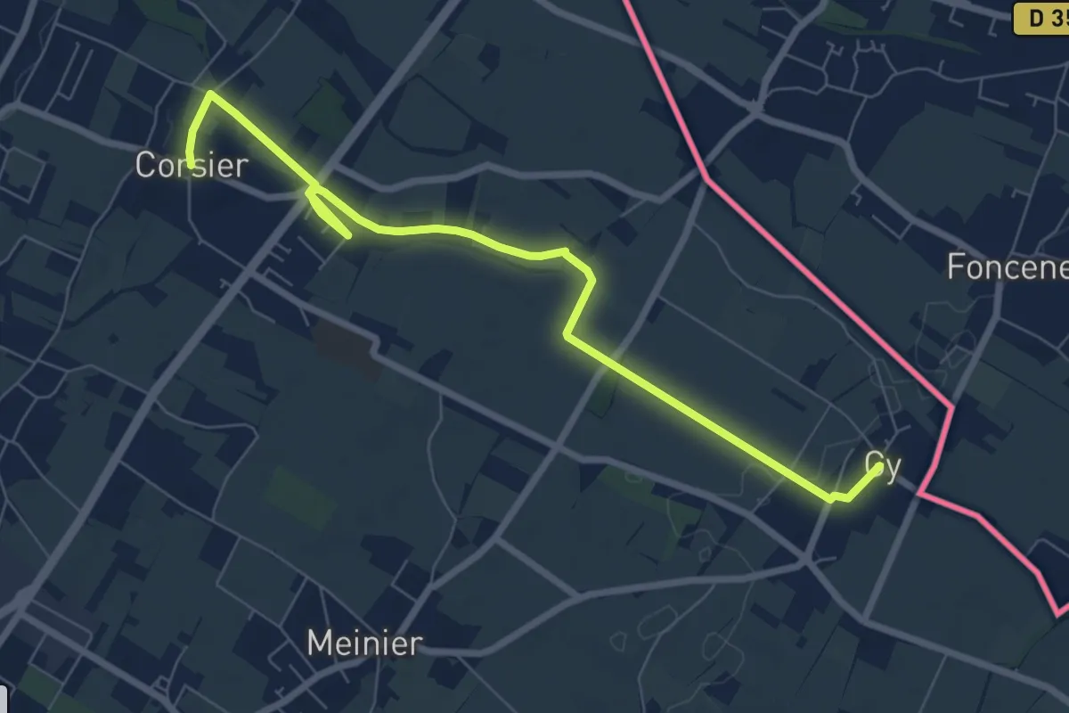
Medium · Trail
Corsier - Gy
8.1 km · ↑ 40 m · 2 h · 9 km away
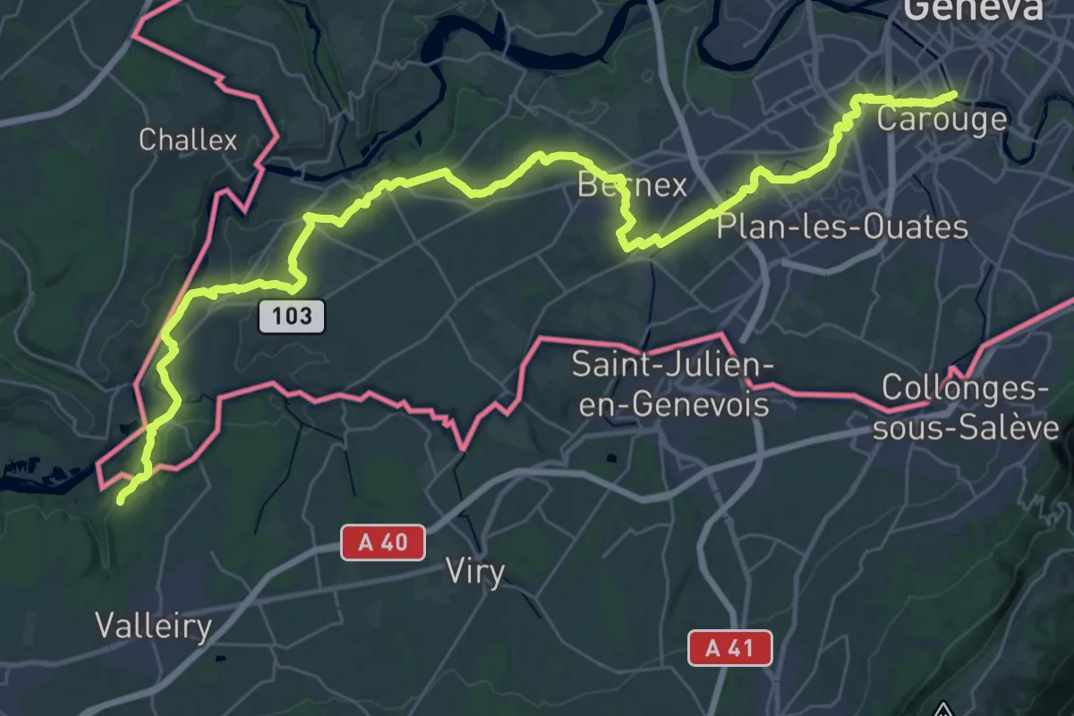
Demanding · Trail
Chambéry – Genève
23.6 km · ↑ 290 m · 6 h 30 min · 9 km away
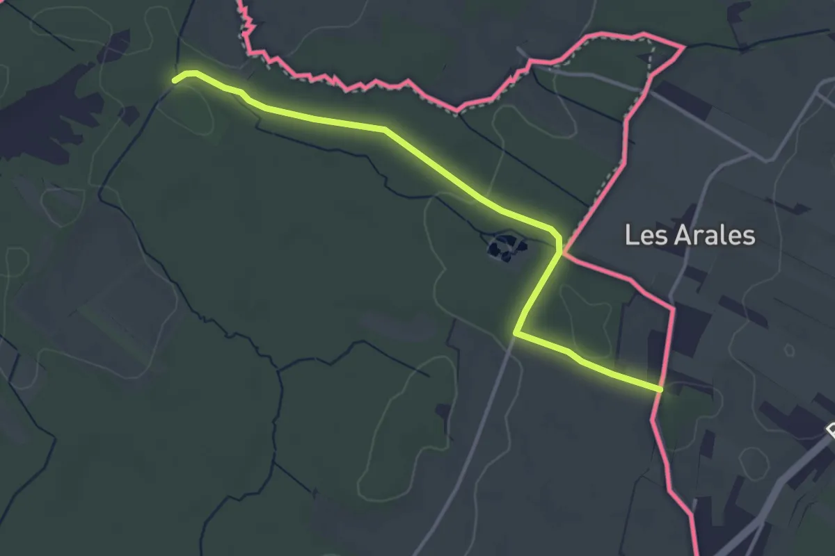
Easy · Trail
Prés de Villette - Les Arales
3.6 km · ↑ 45 m · 57 min · 9 km away
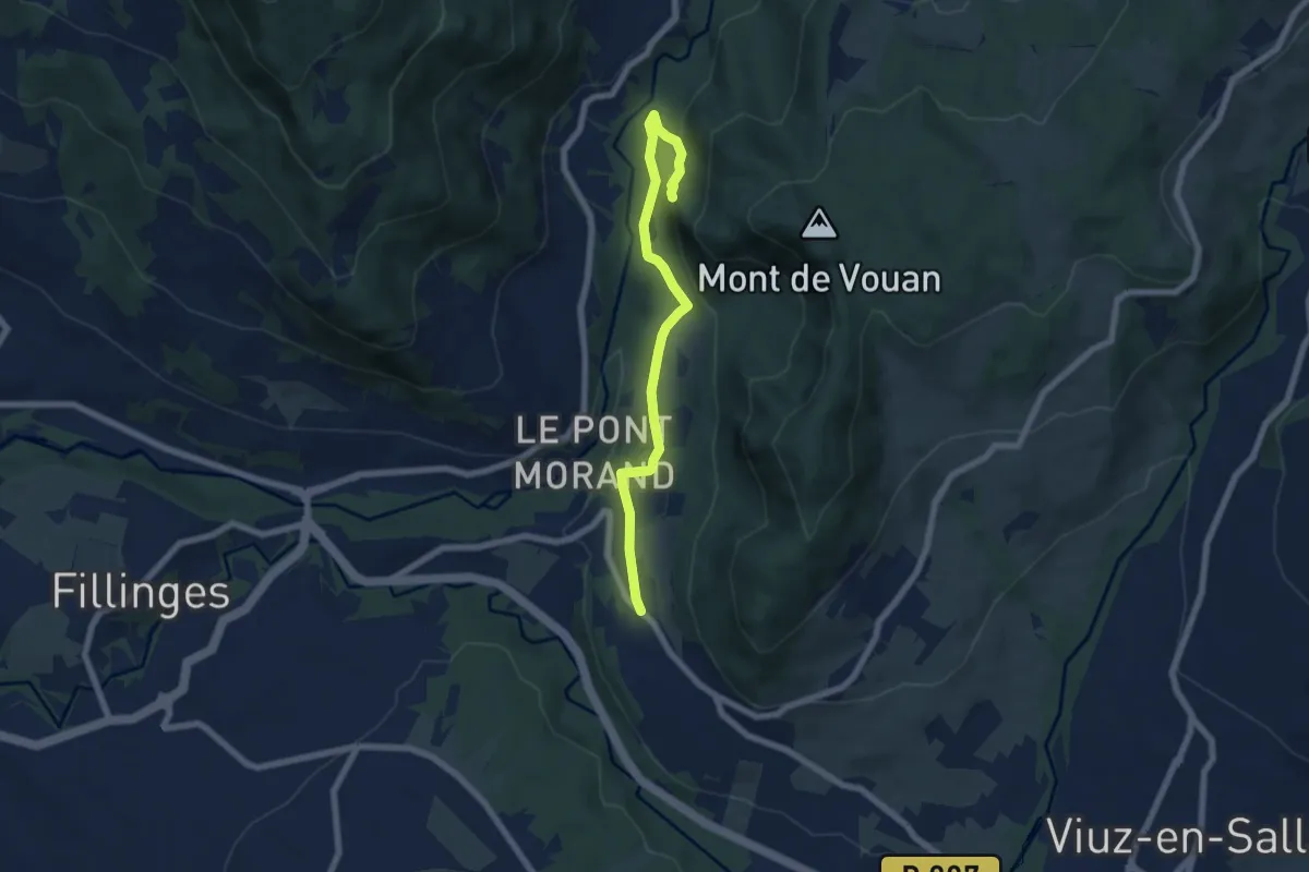
Medium · Trail
Boucle du Mont Vouan
6.5 km · ↑ 214 m · 2 h · 9 km away
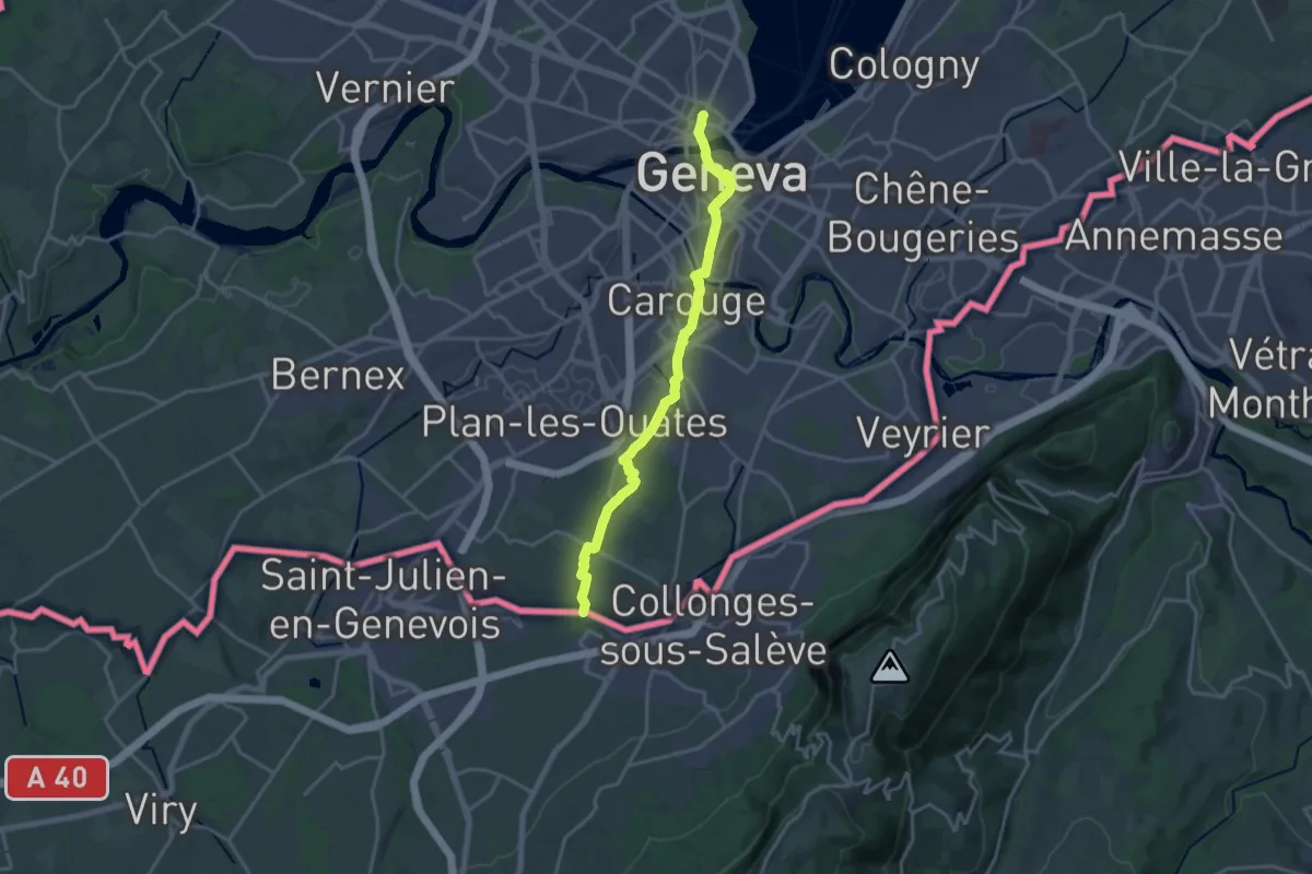
Demanding · Trail
ViaJacobi
18.4 km · ↑ 177 m · 4 h 44 min · 10 km away
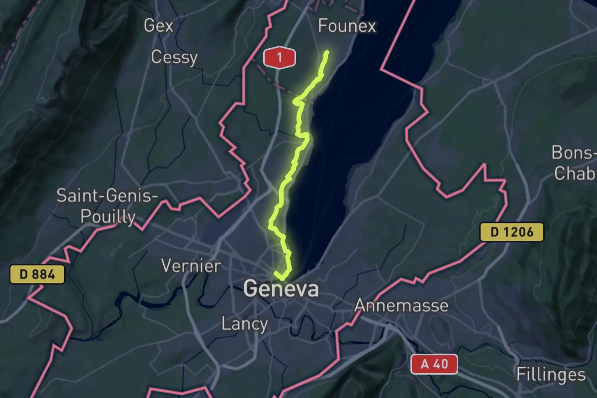
Medium · Trail
ViaJacobi
17.2 km · ↑ 168 m · 4 h 39 min · 10 km away
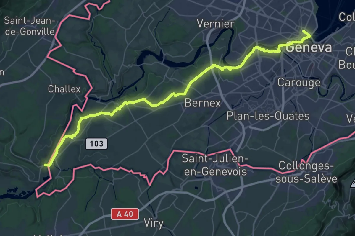
Demanding · Trail
Via Lugdunum, Geneva to Lyon
20.2 km · ↑ 216 m · 5 h 33 min · 10 km away
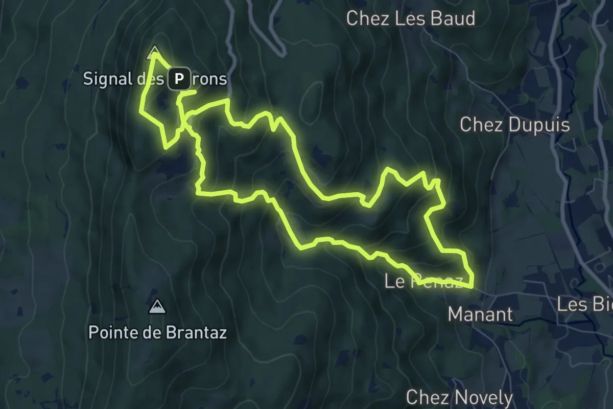
Medium · Summit
Circuit du monastère et du Signal des Voirons
8.4 km · ↑ 655 m · 3 h 32 min · 10 km away
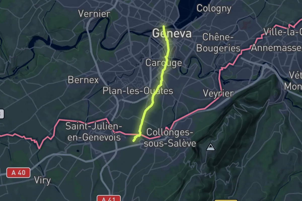
Medium · Trail
Genève – Clennaz
17.0 km · ↑ 160 m · 4 h 21 min · 10 km away
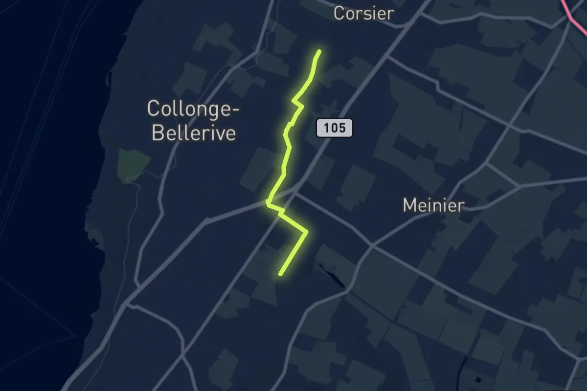
Easy · Trail
Rouelbeau - Les Bouchilles
5.1 km · ↑ 13 m · 1 h 14 min · 10 km away
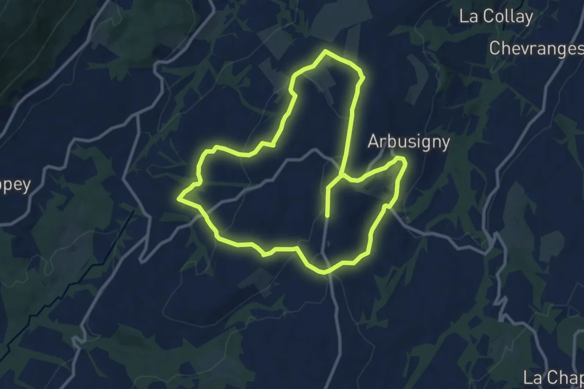
Medium · Trail
Sentier du Four
8.4 km · ↑ 224 m · 2 h 34 min · 10 km away
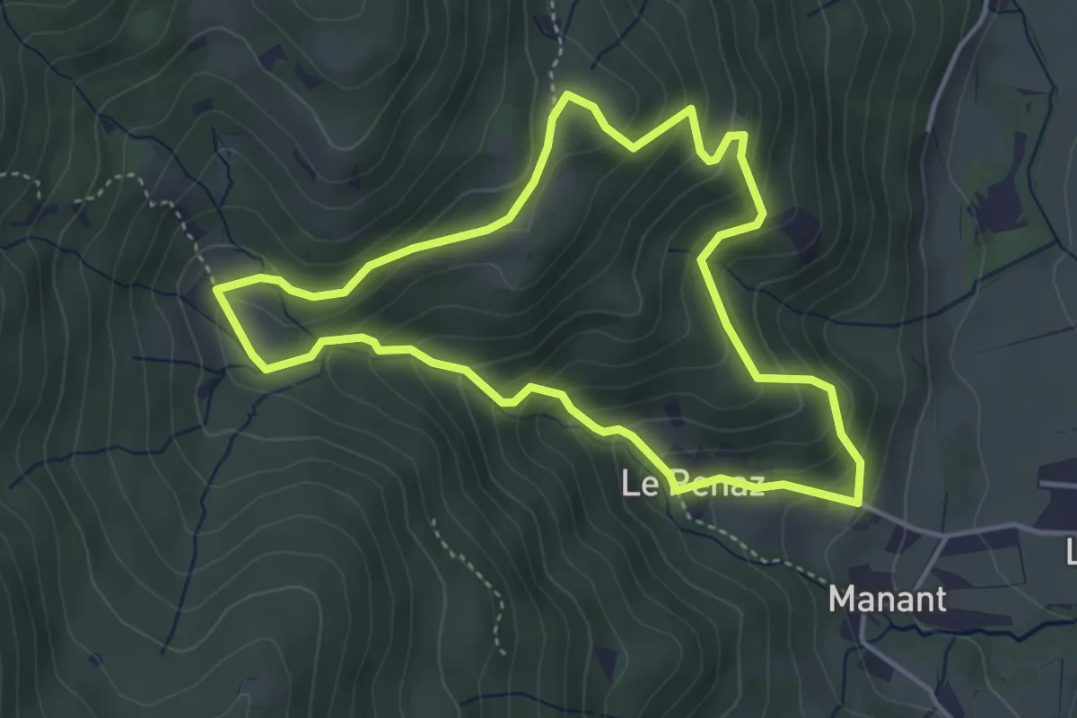
Easy · Trail
Boucle de Rocafort
3.9 km · ↑ 289 m · 1 h 36 min · 10 km away
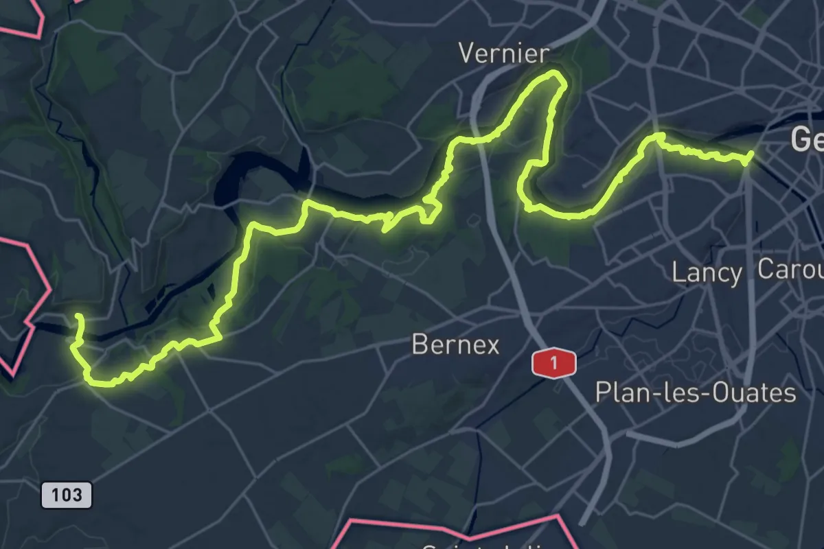
Demanding · Trail
Sentier du Rhône
20.1 km · ↑ 388 m · 5 h 52 min · 10 km away
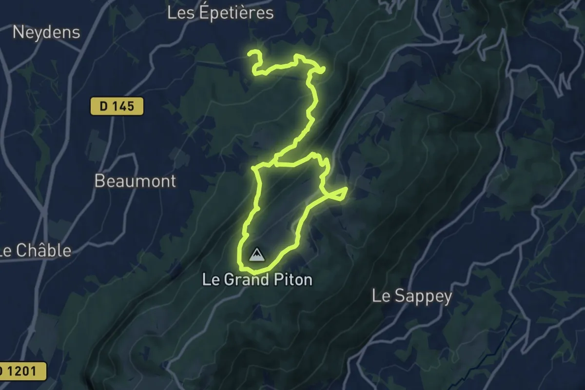
Demanding · Trail
Les Pitons par l'alpage de Chavanne
18.1 km · ↑ 1203 m · 6 h 53 min · 11 km away
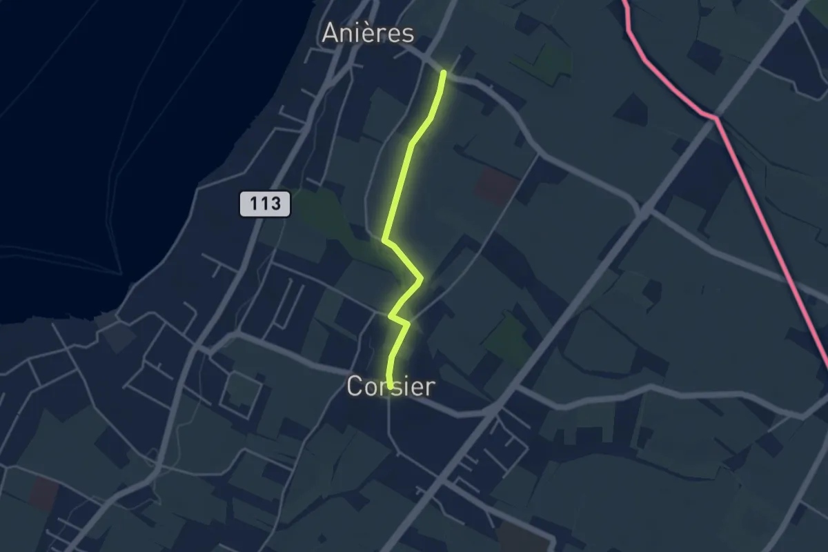
Easy · Trail
Corsier - Anières
3.1 km · ↑ 9 m · 45 min · 11 km away
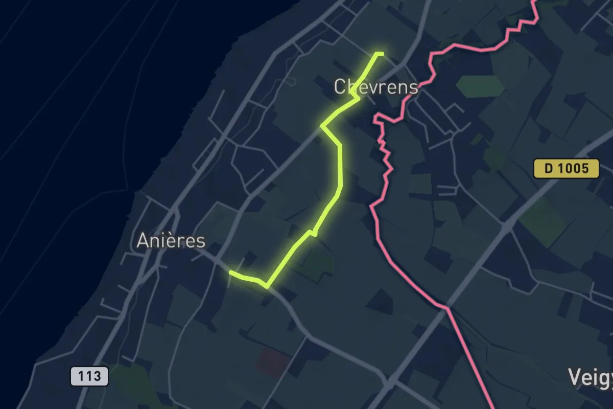
Easy · Trail
Anières - Chevrens
3.6 km · ↑ 8 m · 53 min · 12 km away
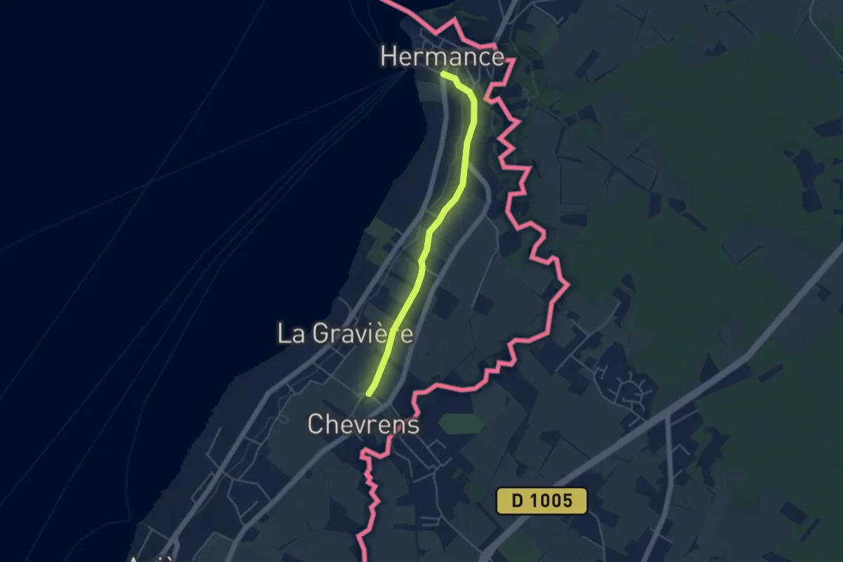
Easy · Trail
Hermance - Chevrens
4.1 km · ↑ 38 m · 1 h 3 min · 12 km away
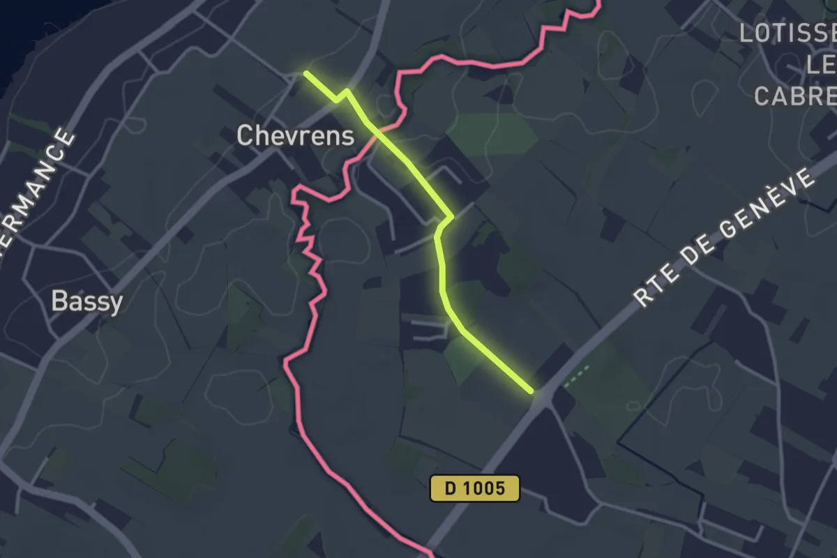
Easy · Trail
Chevrens - Les Lombards
2.4 km · ↑ 13 m · 36 min · 12 km away
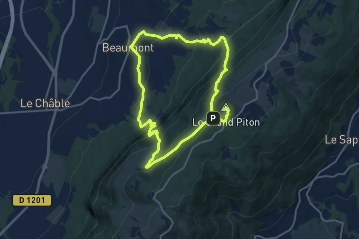
Demanding · Summit
Le Grand Piton, point culminant du Salève
16.9 km · ↑ 1256 m · 6 h 43 min · 13 km away
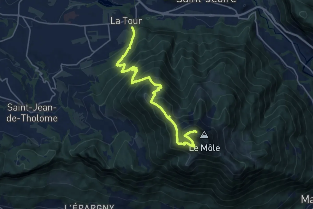
Demanding · Summit
Le Môle depuis La Tour
14.1 km · ↑ 1437 m · 6 h 27 min · 14 km away
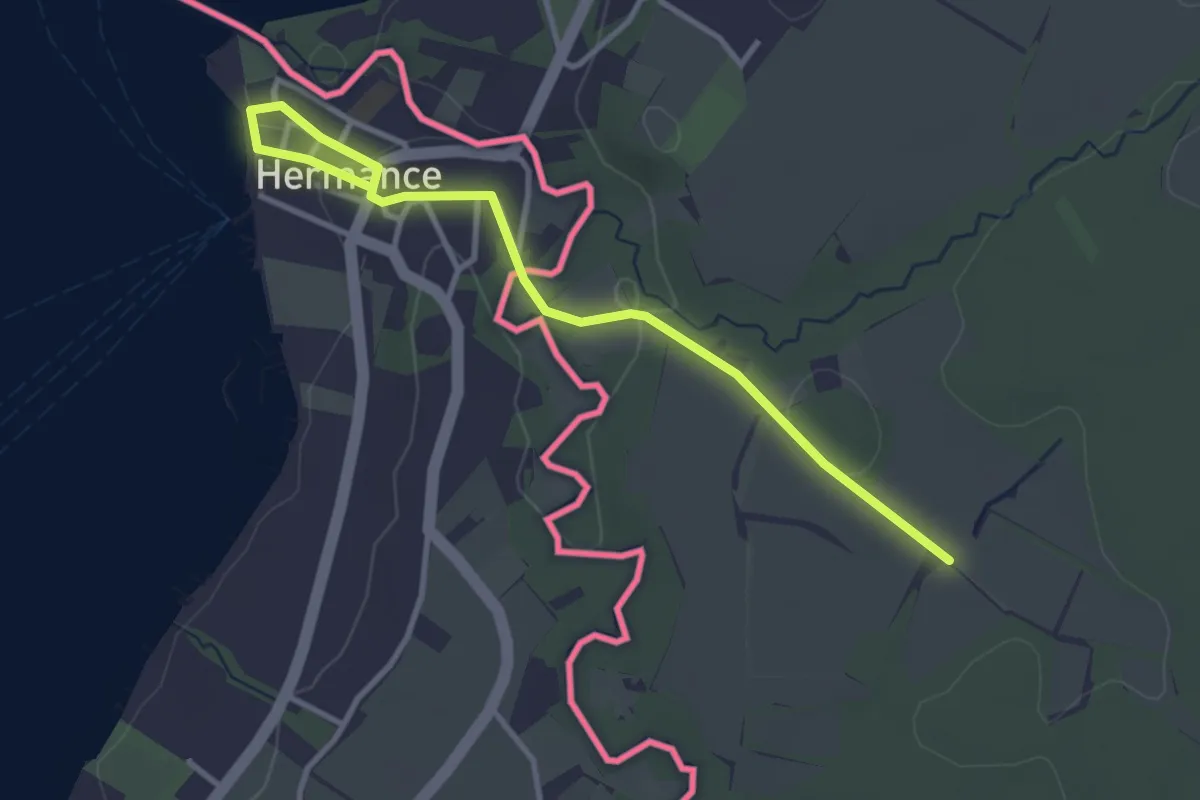
Easy · Trail
Hermance - Les Lombards (F)
3.6 km · ↑ 50 m · 58 min · 14 km away
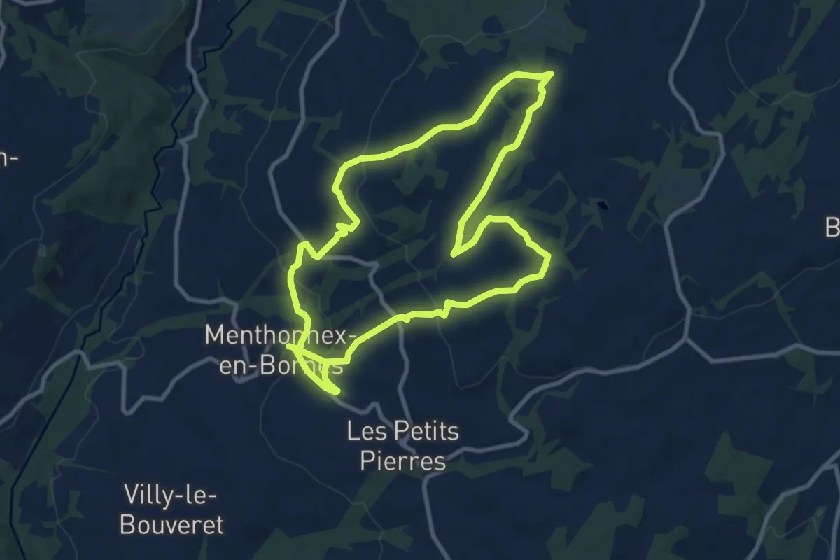
Demanding · Trail
A la découverte du Plateau des Bornes
18.0 km · ↑ 413 m · 5 h 9 min · 15 km away