Trails near Villeneuve-sur-Lot
15 hikes starting within 15 km, nearest first.
Nearest first
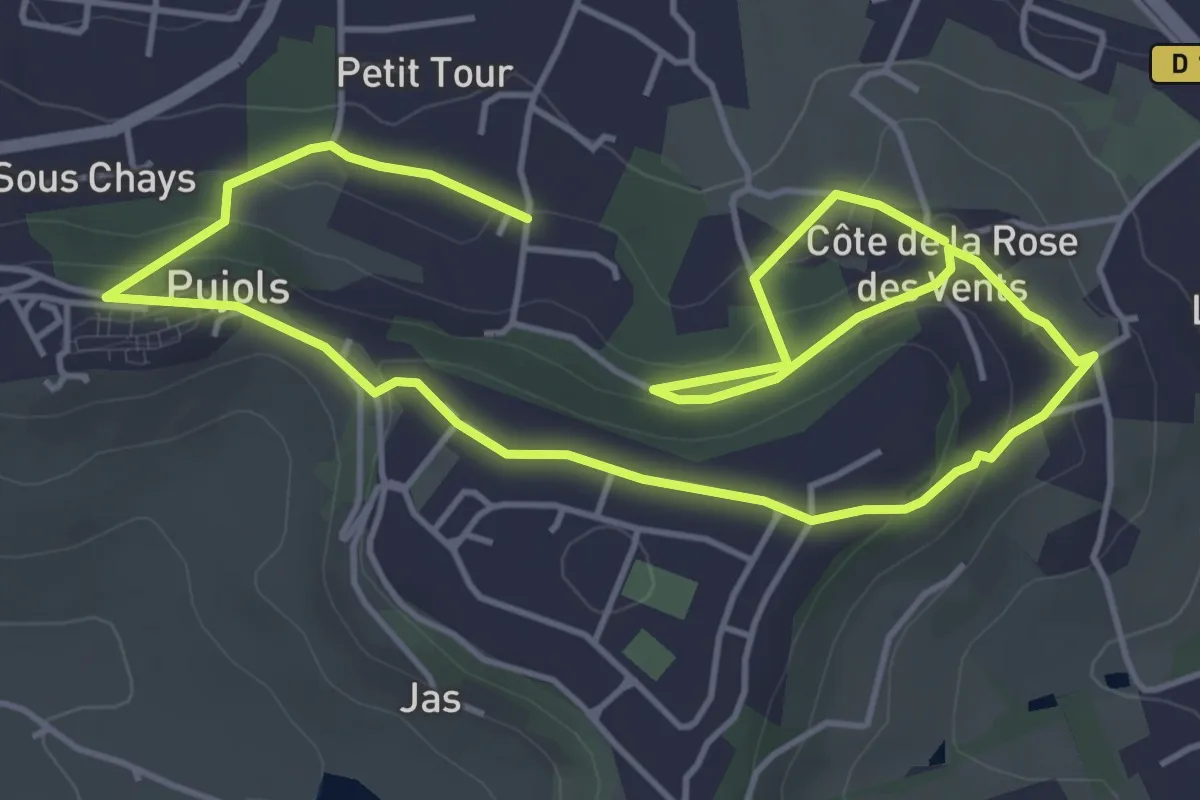
Easy · Trail
Pujols - Petit-Tour - 5,5km
4.3 km · ↑ 138 m · 1 h 22 min · 2 km away
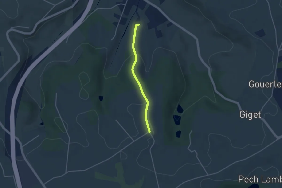
Easy · Trail
Cambes, un circuit autour d'une combe boisée - 4,5km
1.3 km · ↑ 86 m · 28 min · 5 km away
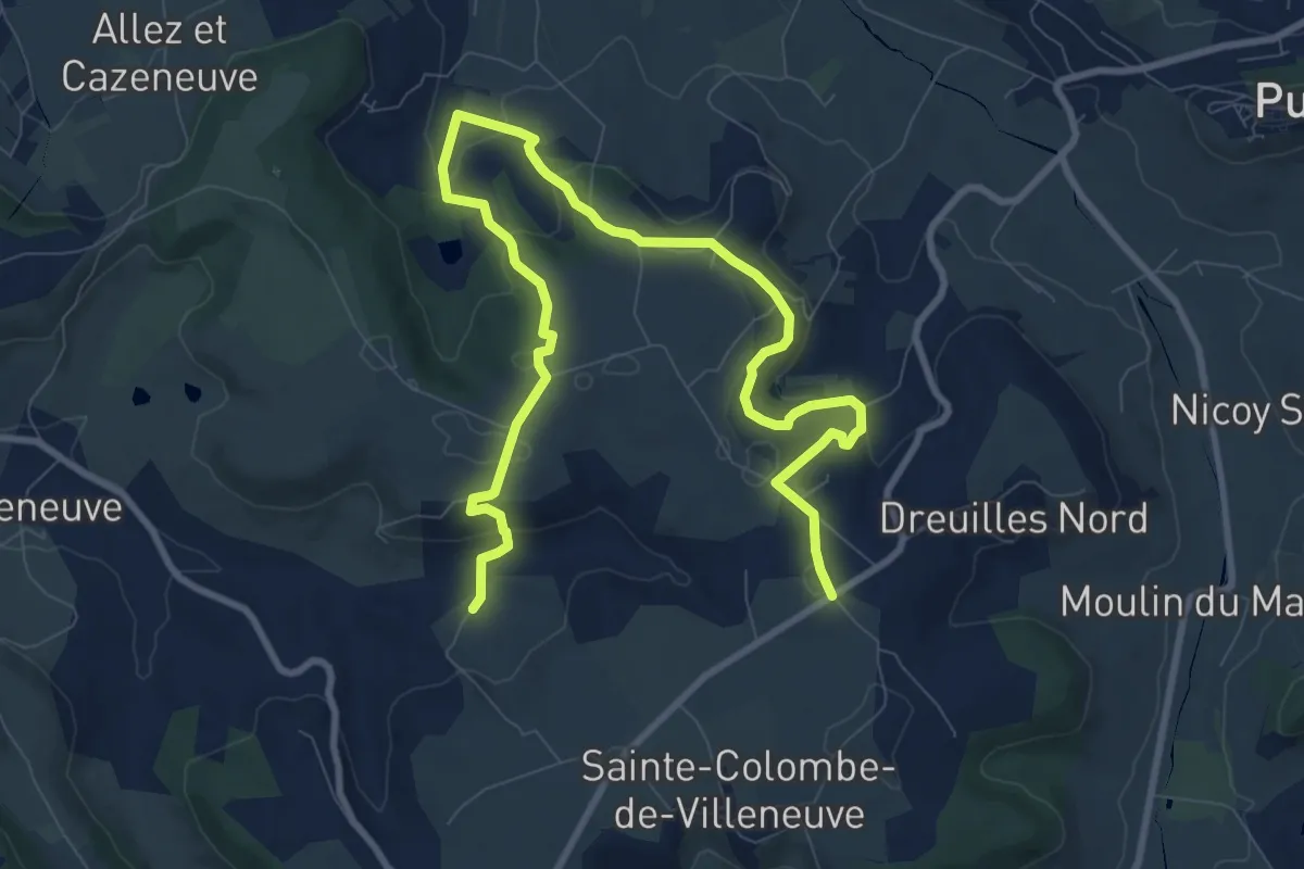
Easy · Trail
Sainte-Colombe-de-Villeneuve, vers l’église du Laurier
6.6 km · ↑ 234 m · 2 h 7 min · 6 km away
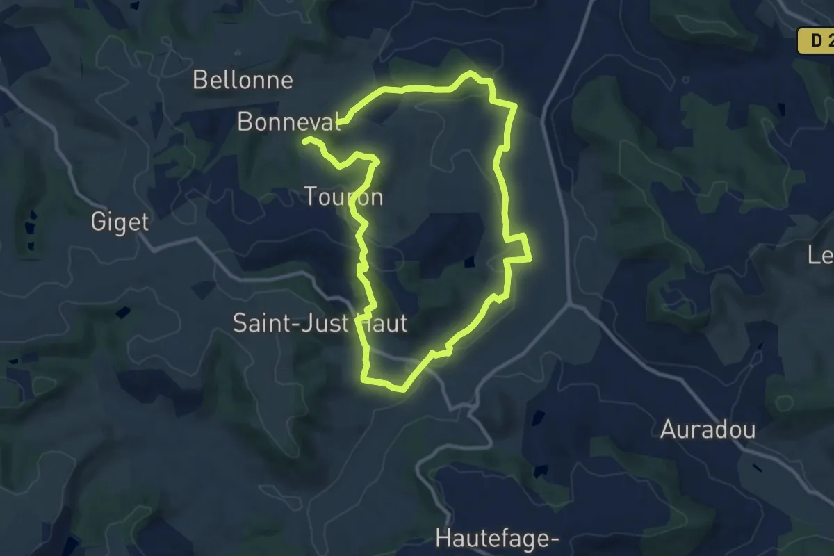
Medium · Trail
Saint-Thomas, par Saint-Just et Piquepoul - 10.6 km
9.5 km · ↑ 248 m · 2 h 53 min · 7 km away
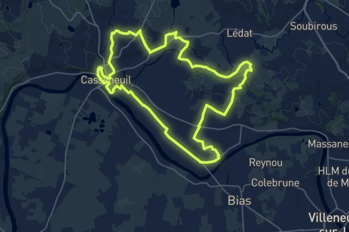
Demanding · Trail
Casseneuil, le Circuit des Trois Rivières
18.5 km · ↑ 178 m · 5 h · 7 km away
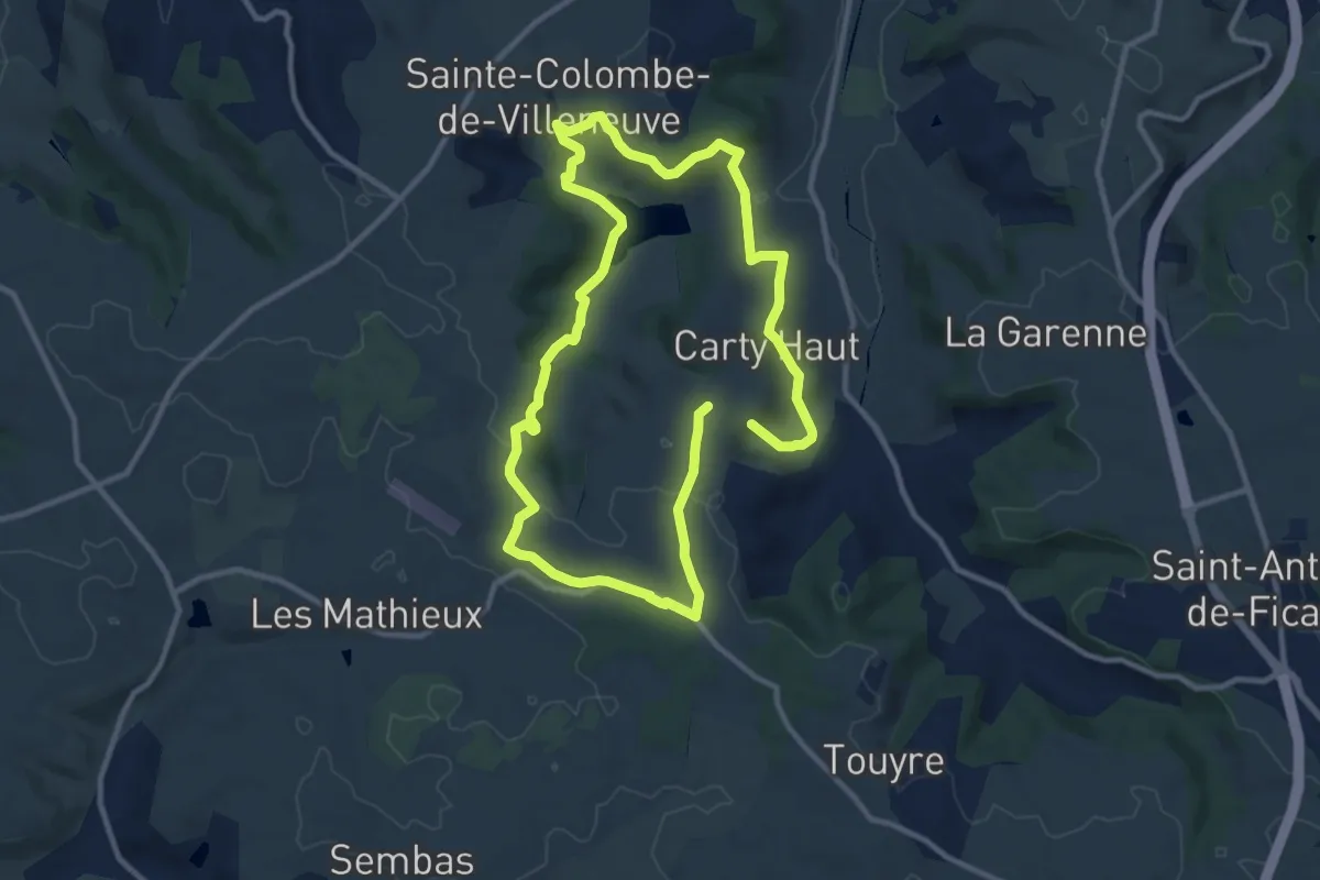
Medium · Trail
Sainte-Colombe-de-Villeneuve, vers les grottes de Lastournelles - 10.9 km
10.3 km · ↑ 231 m · 3 h 5 min · 7 km away
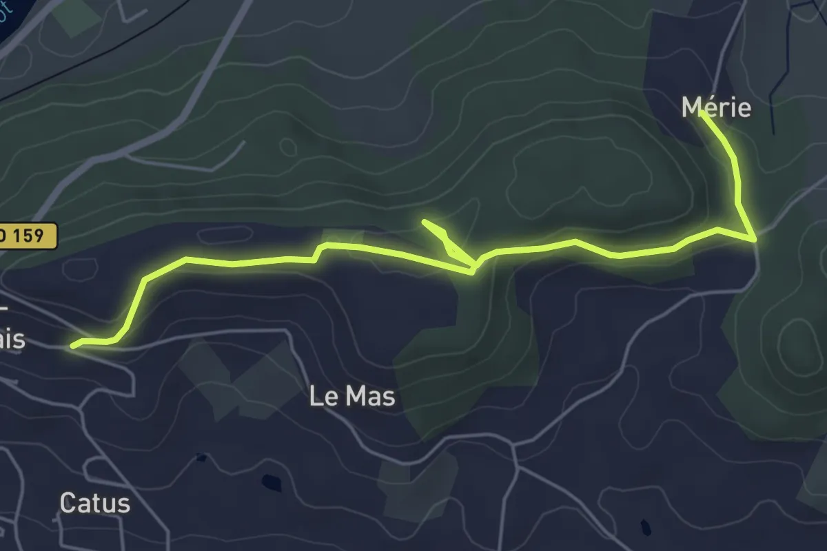
Easy · Trail
Penne-d’Agenais, sur le plateau Saint-Michel -10,7km
6.2 km · ↑ 149 m · 1 h 47 min · 10 km away
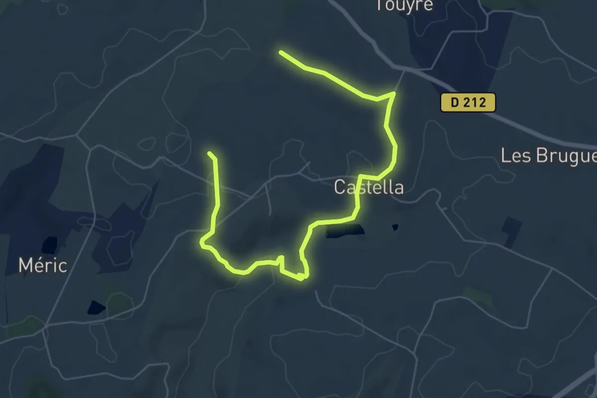
Easy · Trail
Castella, la promenade de Mondou - 4,9km
3.8 km · ↑ 85 m · 1 h 8 min · 10 km away
Easy · Trail
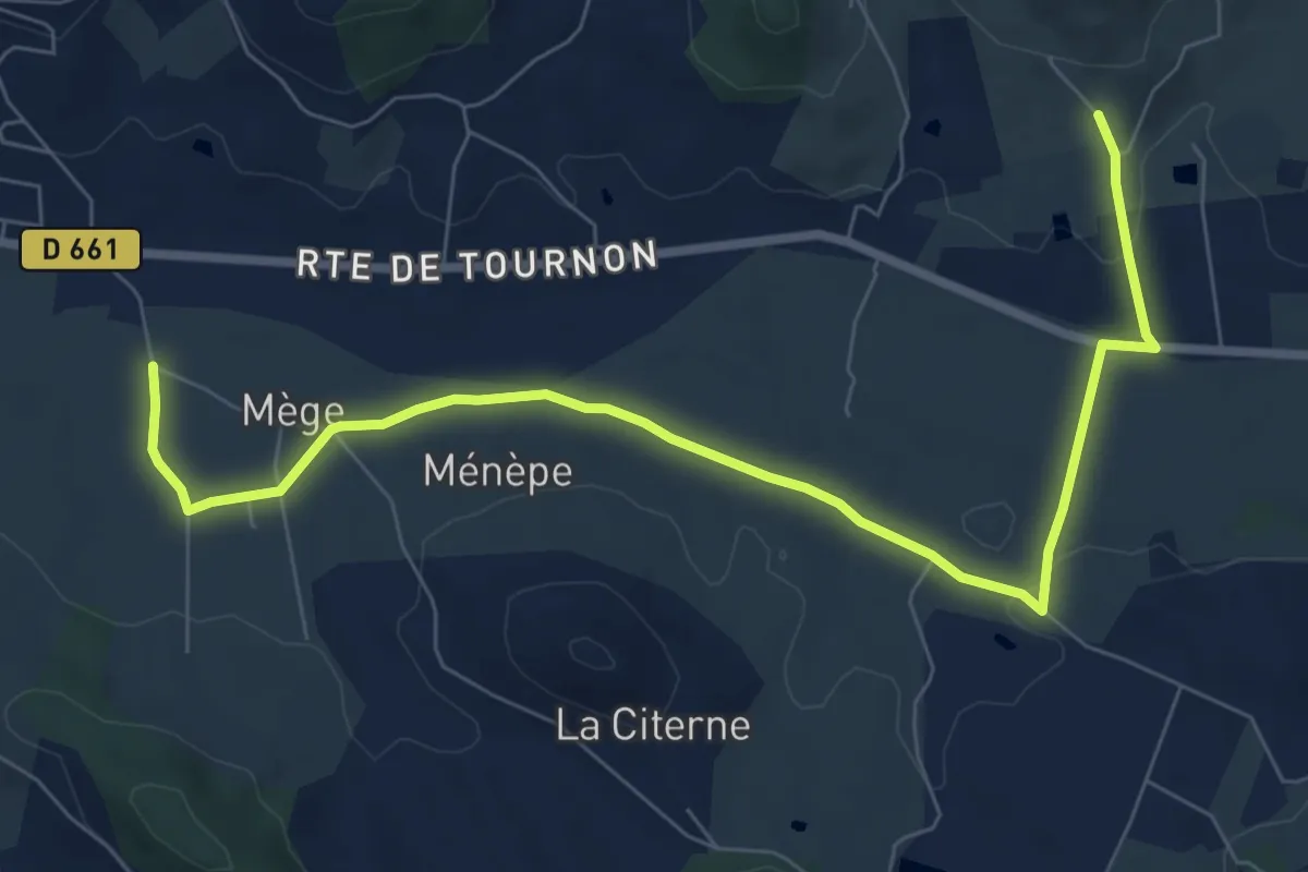
Penne-d’Agenais, vers le château de Noaillac - 13,2km
4.6 km · ↑ 102 m · 1 h 21 min · 10 km away
Easy · Trail
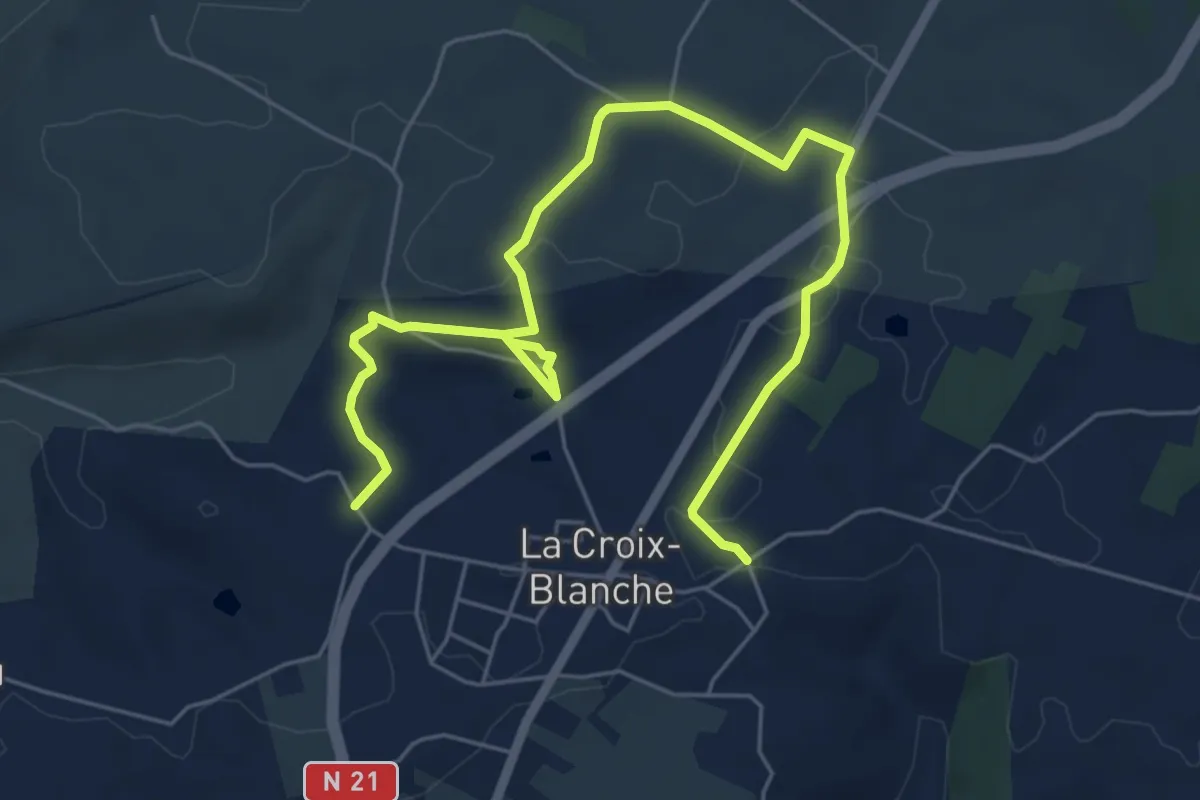
La Croix-Blanche, la balade de Bézille - 4,9km
4.0 km · ↑ 76 m · 1 h 10 min · 12 km away
Easy · Trail
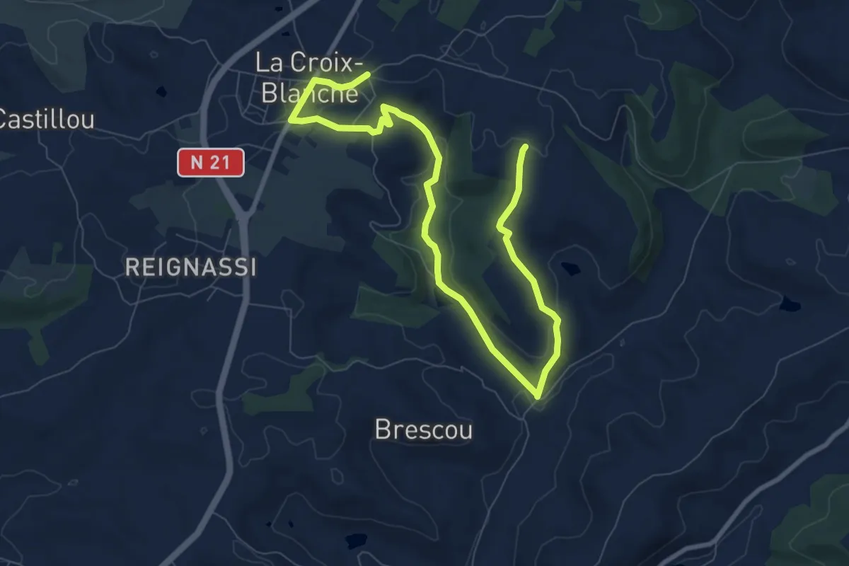
La Croix-Blanche, la balade du Bernou - 9,3km
5.6 km · ↑ 108 m · 1 h 38 min · 13 km away
Medium · Trail
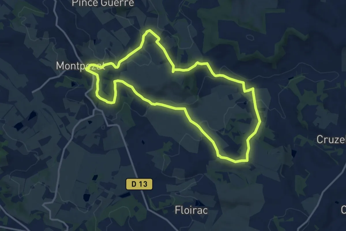
Montpezat-d’Agenais, par St-Médard et St-Jean-de-la-Balerme
10.7 km · ↑ 288 m · 3 h 18 min · 13 km away
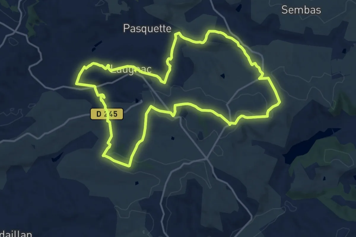
Medium · Trail
Laugnac, un sentier nature dans les Serres
14.2 km · ↑ 319 m · 4 h 14 min · 14 km away
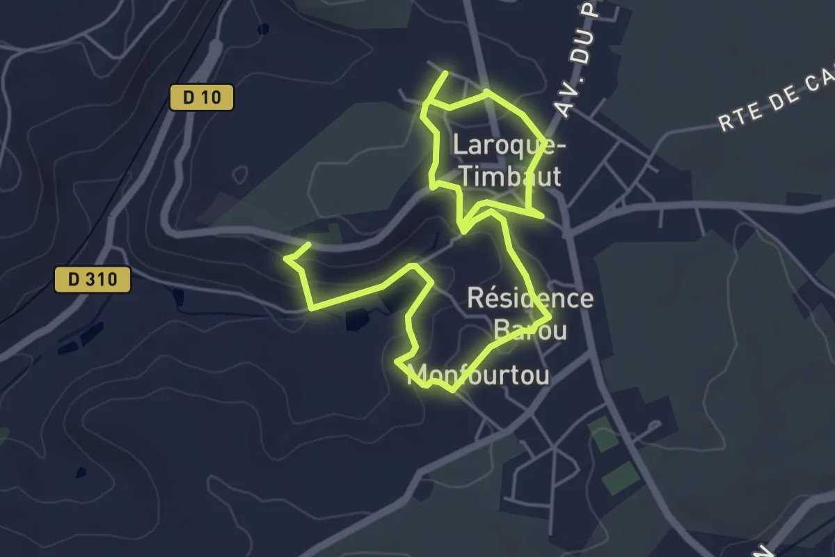
Easy · Trail
Laroque-Timbaut, sur les pas de Roland - 5km
3.8 km · ↑ 91 m · 1 h 8 min · 14 km away
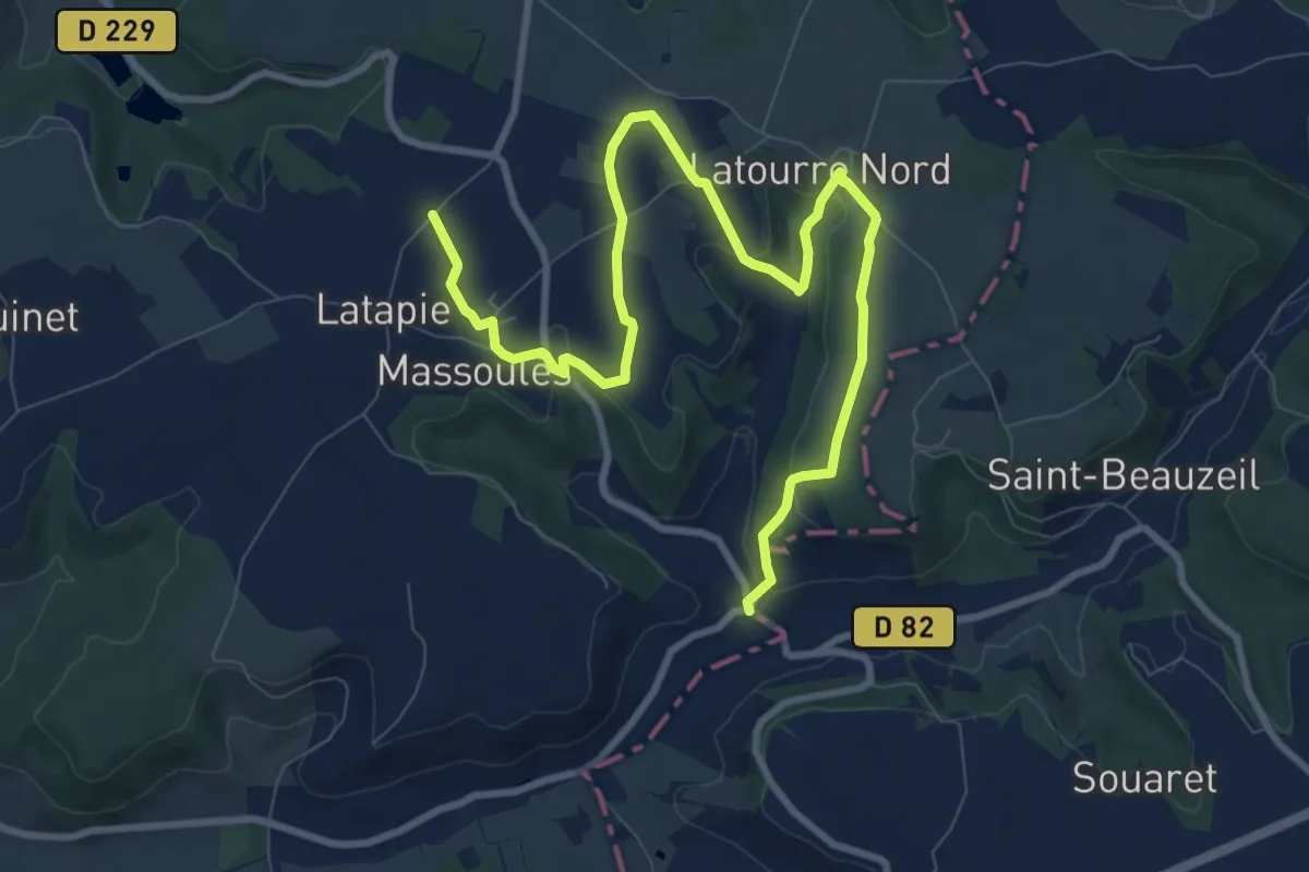
Easy · Trail
Massoulès, par Sainte-Quitterie et Calvignac - 11km
6.0 km · ↑ 83 m · 1 h 44 min · 15 km away