Trails in France
15,906 hiking trails, each with its route, climb, walking time and grade.
All trails, page 12 of 332
Easy · Trail
Balade Sonore de l'Île Vierge
5.1 km · ↑ 129 m · 1 h 33 min
Medium · Trail
Balade sous le Fayé
10.3 km · ↑ 303 m · 3 h 15 min
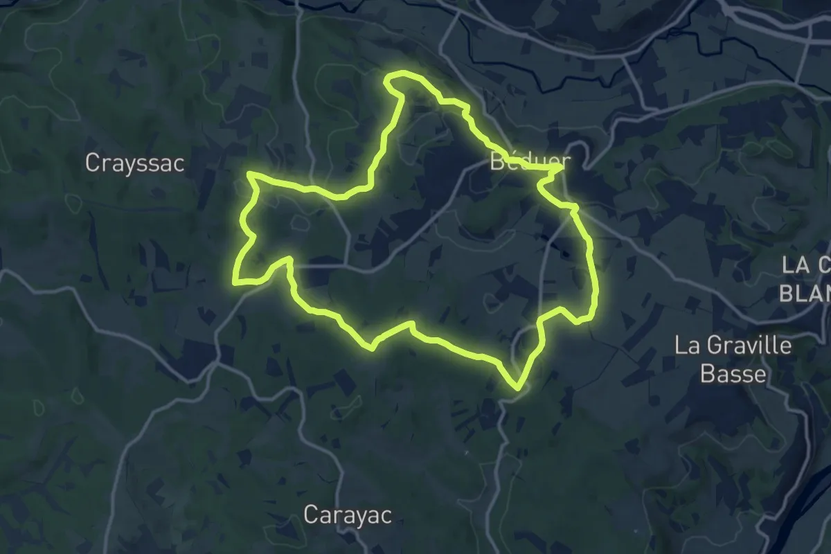
Medium · Trail
Balade sur le Causse de Béduer
14.0 km · ↑ 306 m · 4 h 10 min
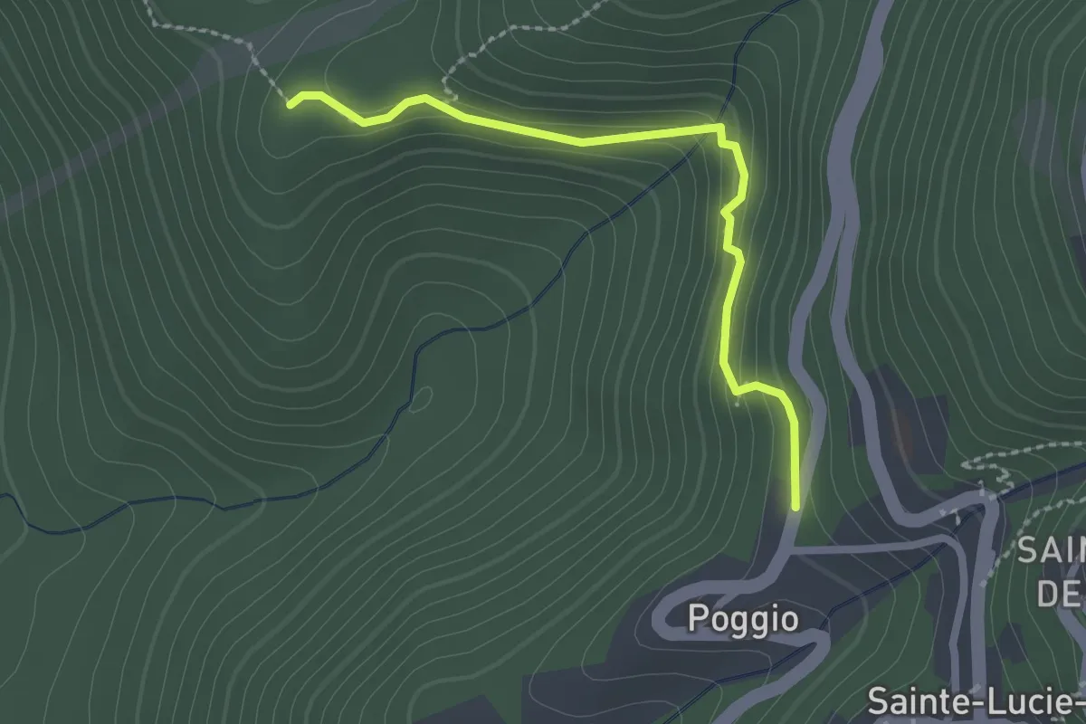
Easy · Trail
Balade vers l'Église Saint-Jean Baptiste
2.4 km · ↑ 102 m · 47 min
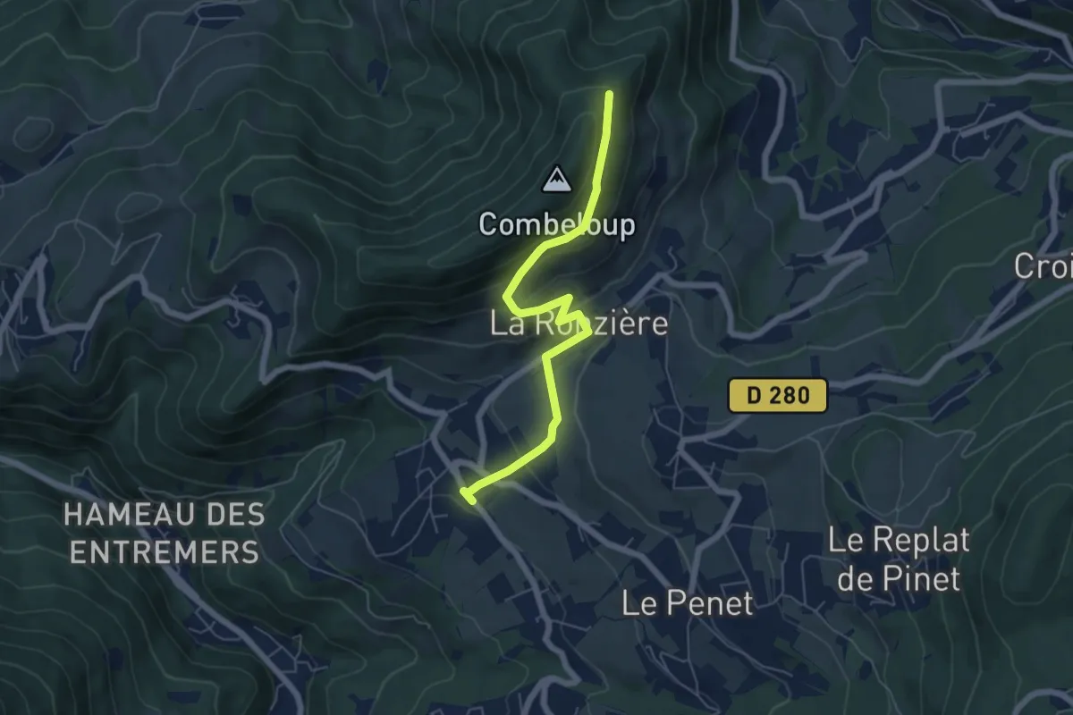
Medium · Trail
Balcon de Combeloup
2.9 km · ↑ 280 m · 1 h 13 min
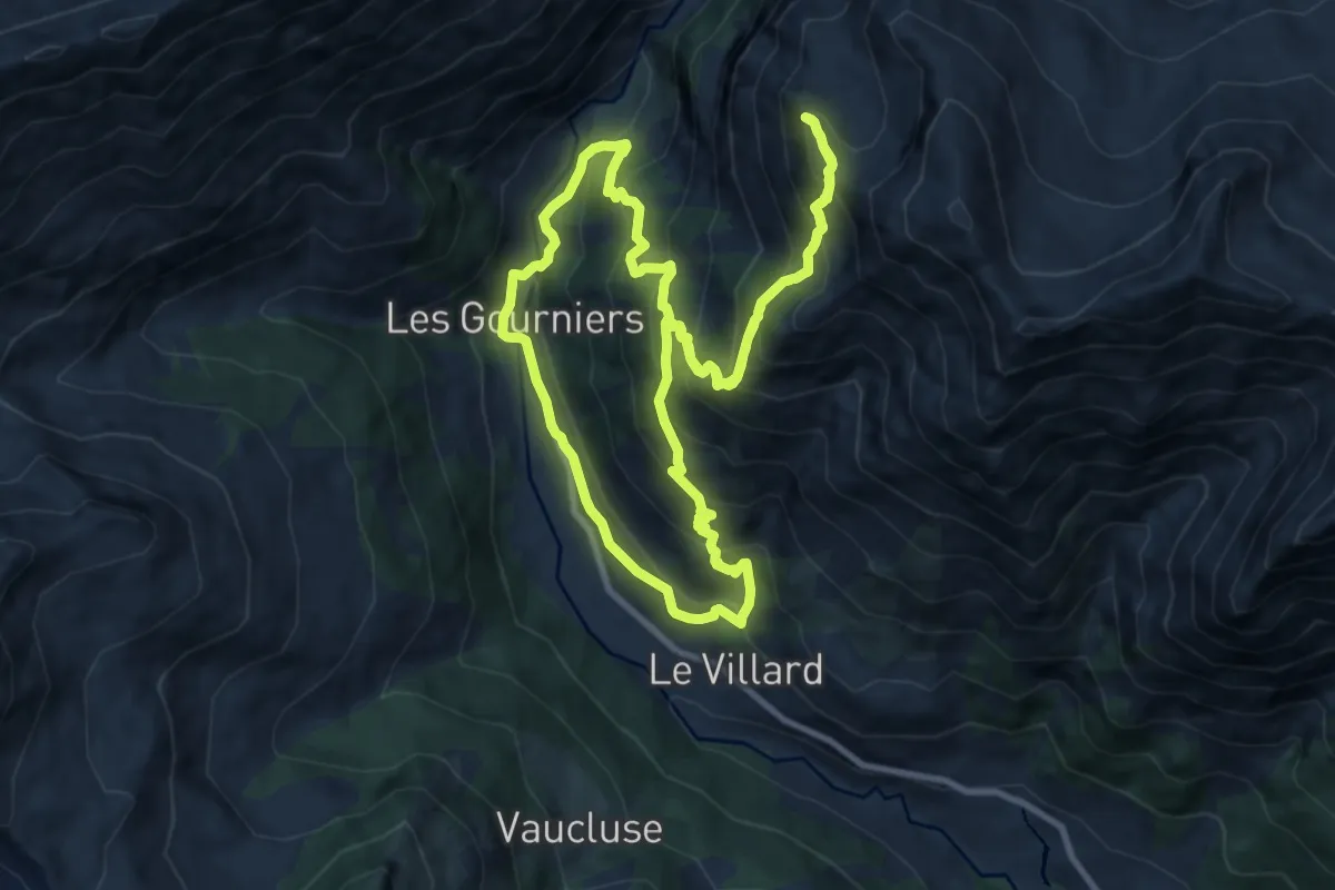
Demanding · Trail
Balcon de l’Oussella et Quille du Laus
11.0 km · ↑ 990 m · 4 h 54 min
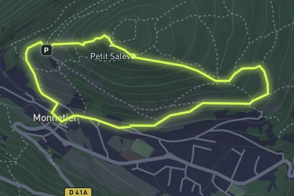
Easy · Summit
Balcon des Allobroges
3.2 km · ↑ 206 m · 1 h 15 min
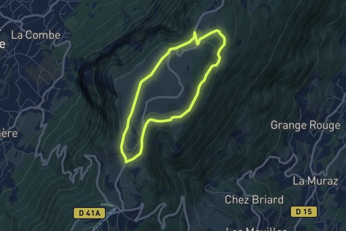
Easy · Trail
Balcon des Crêts
5.3 km · ↑ 132 m · 1 h 37 min
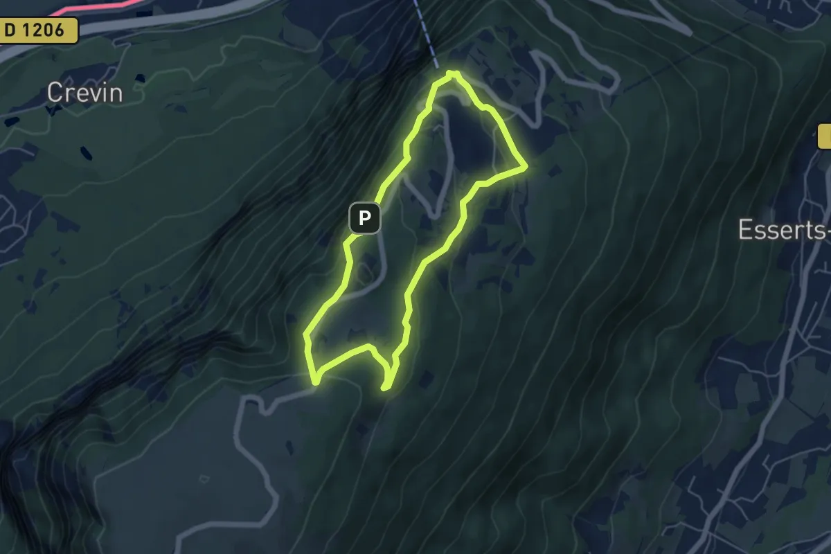
Easy · Trail
Balcon du Téléphérique
4.6 km · ↑ 207 m · 1 h 36 min
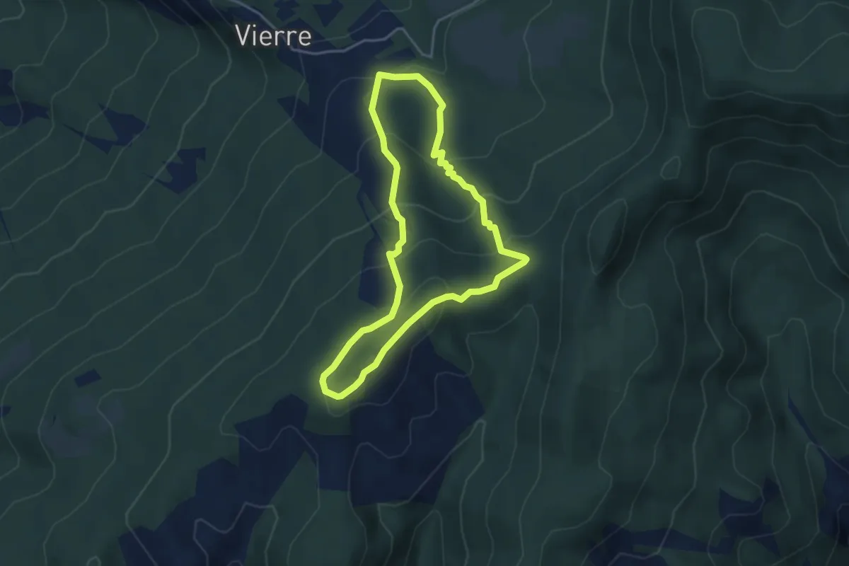
Easy · Trail
Balcons de la Durance
3.7 km · ↑ 243 m · 1 h 28 min
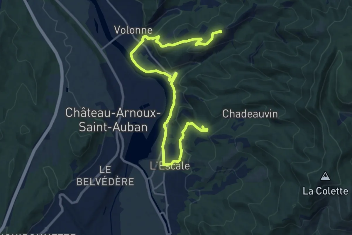
Medium · Trail
Balcons de la Durance
8.1 km · ↑ 157 m · 2 h 26 min
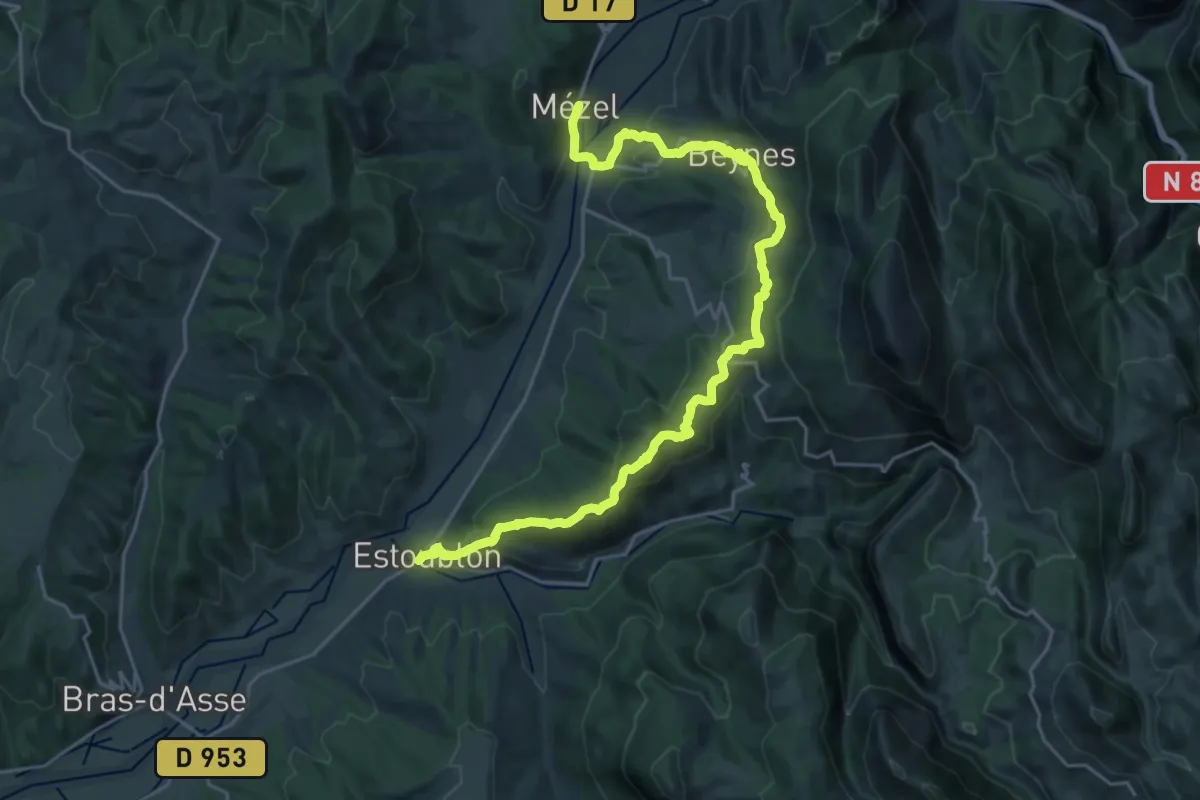
Medium · Trail
Balcons de l'Asse
13.7 km · ↑ 507 m · 4 h 34 min
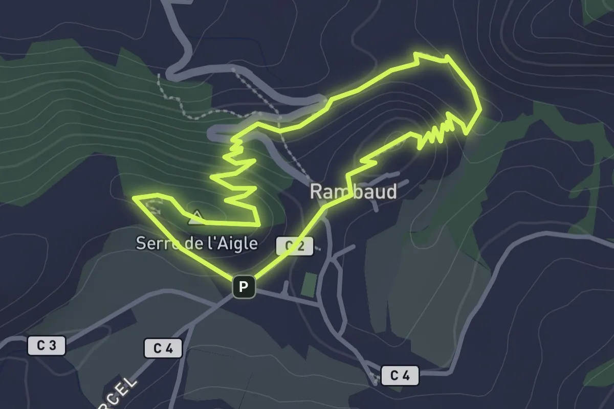
Easy · Summit
Balcons de Rambaud
2.7 km · ↑ 82 m · 51 min
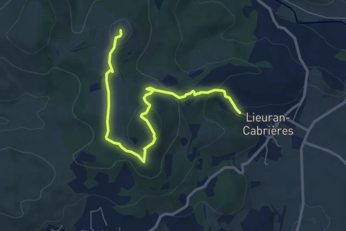
Medium · Trail
Balcon sur l'Aron
15.8 km · ↑ 277 m · 4 h 33 min
Easy · Summit
Balcons volcaniques
6.7 km · ↑ 242 m · 2 h 6 min
Easy · Summit
Ballade à Saint-Valéry
7.1 km · ↑ 105 m · 2 h
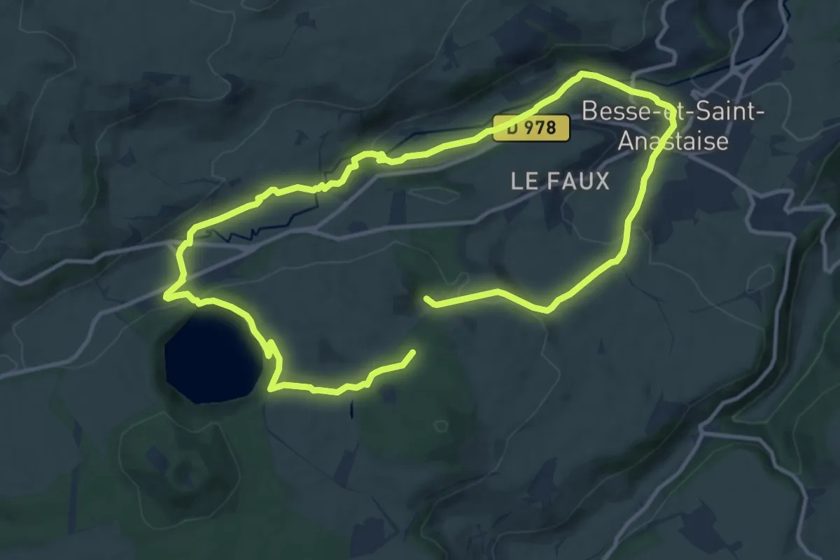
Medium · Trail
Ballade autour du Pavin
10.7 km · ↑ 261 m · 3 h 15 min
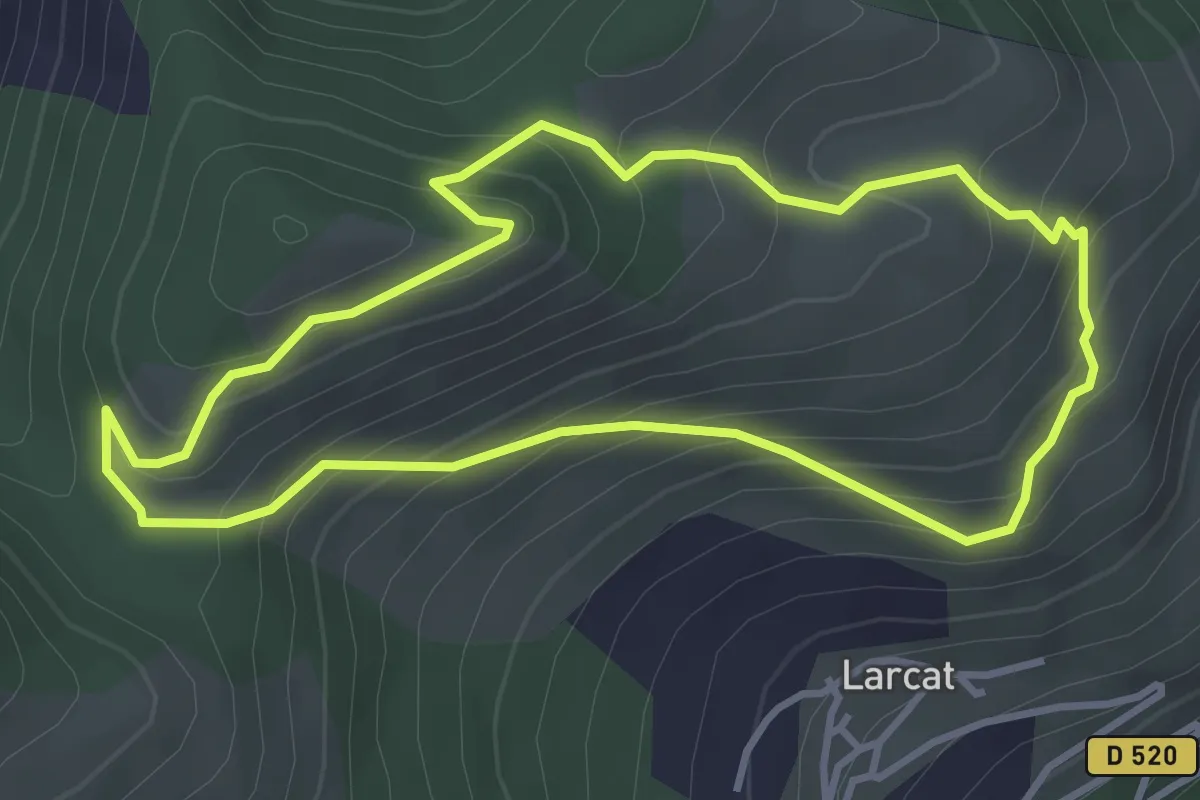
Easy · Trail
Ballade de la chapelle Saint-Barthelemy
3.8 km · ↑ 282 m · 1 h 33 min
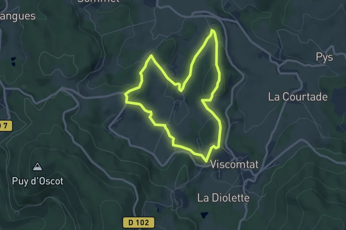
Easy · Trail
Ballade du Centenaire E.E.D.F
6.0 km · ↑ 159 m · 1 h 51 min
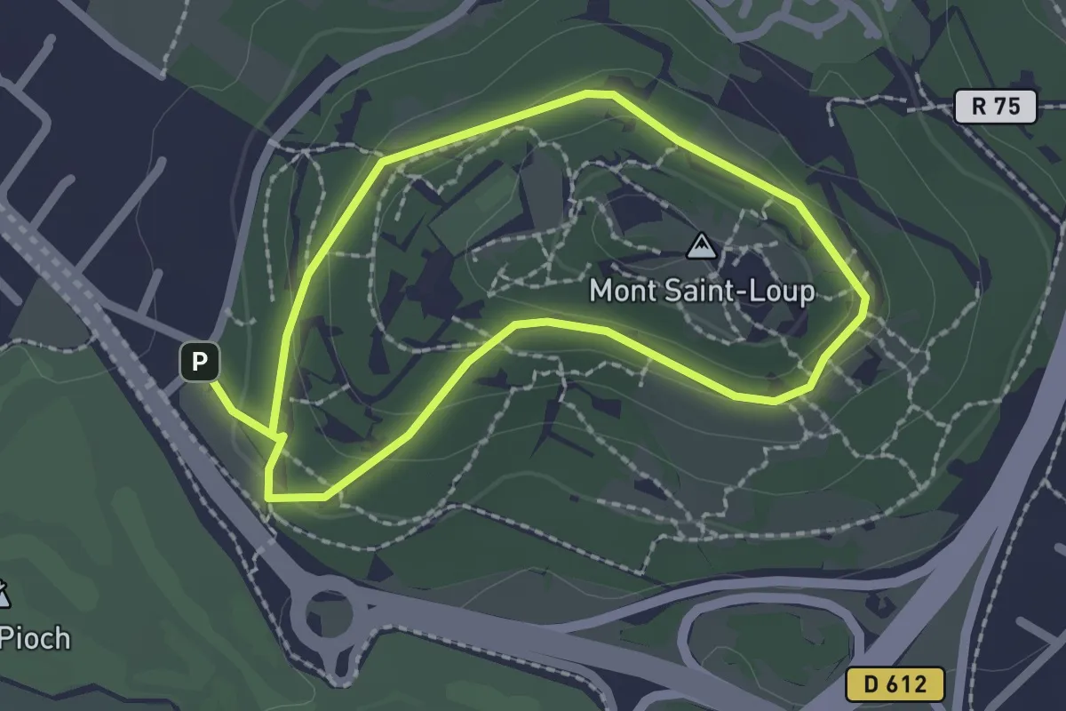
Easy · Summit
Ballade du mont St Loup
1.9 km · ↑ 51 m · 35 min
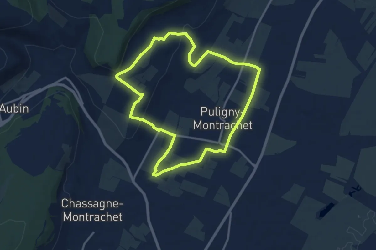
Easy · Trail
Ballade en Montrachet
8.0 km · ↑ 160 m · 2 h 21 min
Easy · Trail
Ballan-Miré Sentier de Bois Gibert
5.6 km · ↑ 17 m · 1 h 27 min
Medium · Trail
Ballan-Miré Sentier du Grand Moulin
12.5 km · ↑ 93 m · 3 h 19 min
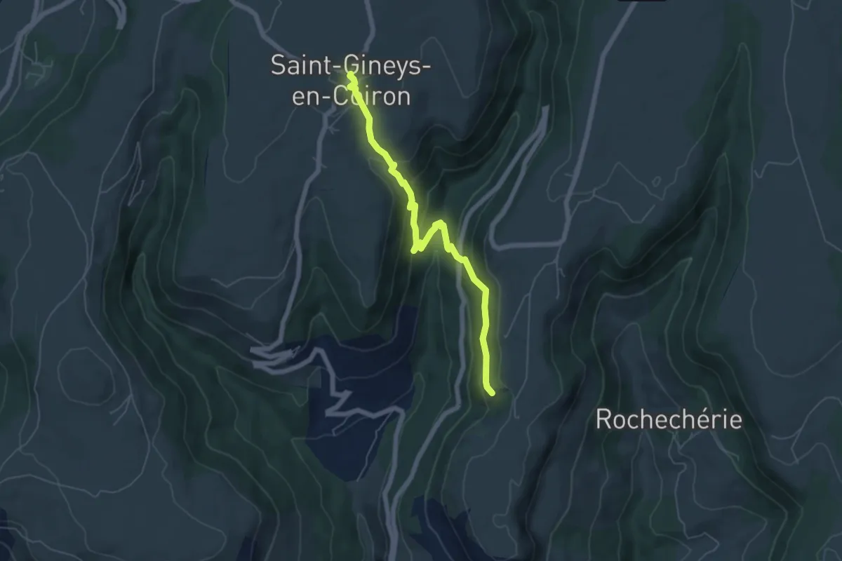
Medium · Trail
Balmes de Montbrun - Saint-Gineys-en-Coiron
5.8 km · ↑ 366 m · 2 h 10 min
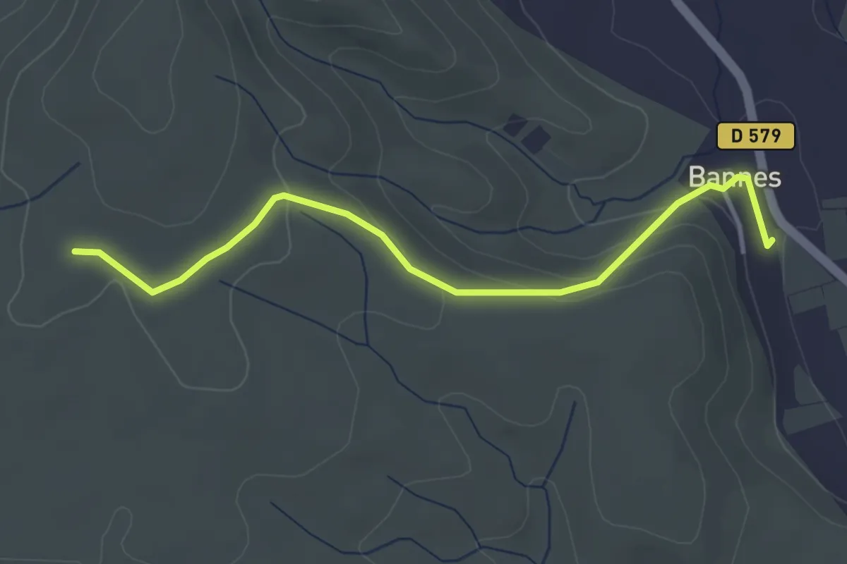
Easy · Trail
Bannes - Serre de Vinobre
3.8 km · ↑ 145 m · 1 h 12 min
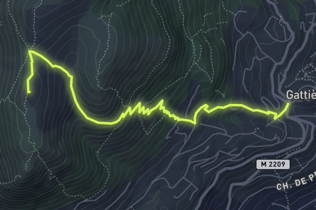
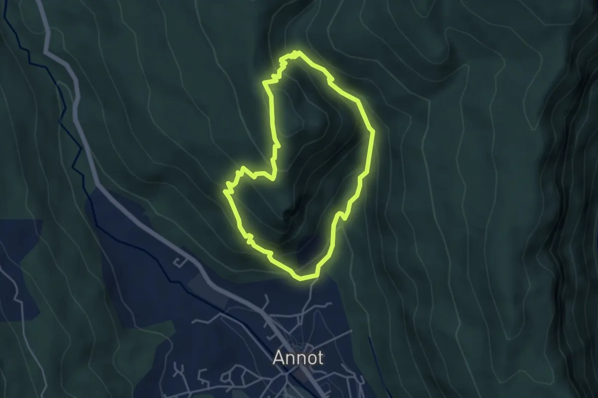
Medium · Summit
Baou de la Gaude
7.7 km · ↑ 569 m · 3 h 3 min
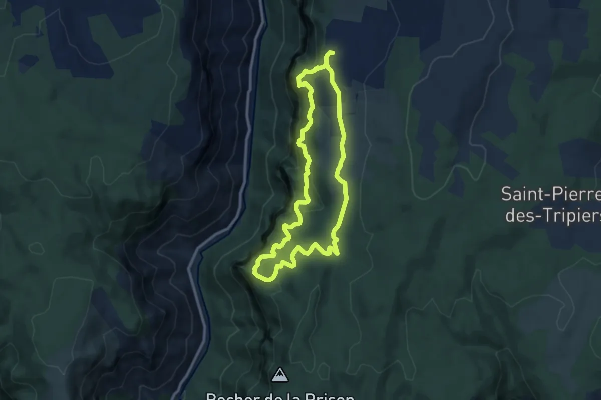
Medium · Trail
Baou de Parou
3.8 km · ↑ 326 m · 1 h 40 min
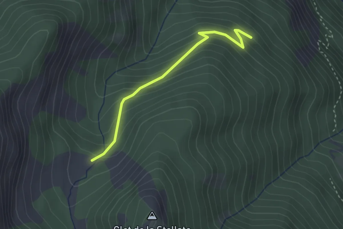
Medium · Trail
Baousse del Biel
7.3 km · ↑ 570 m · 3 h 4 min
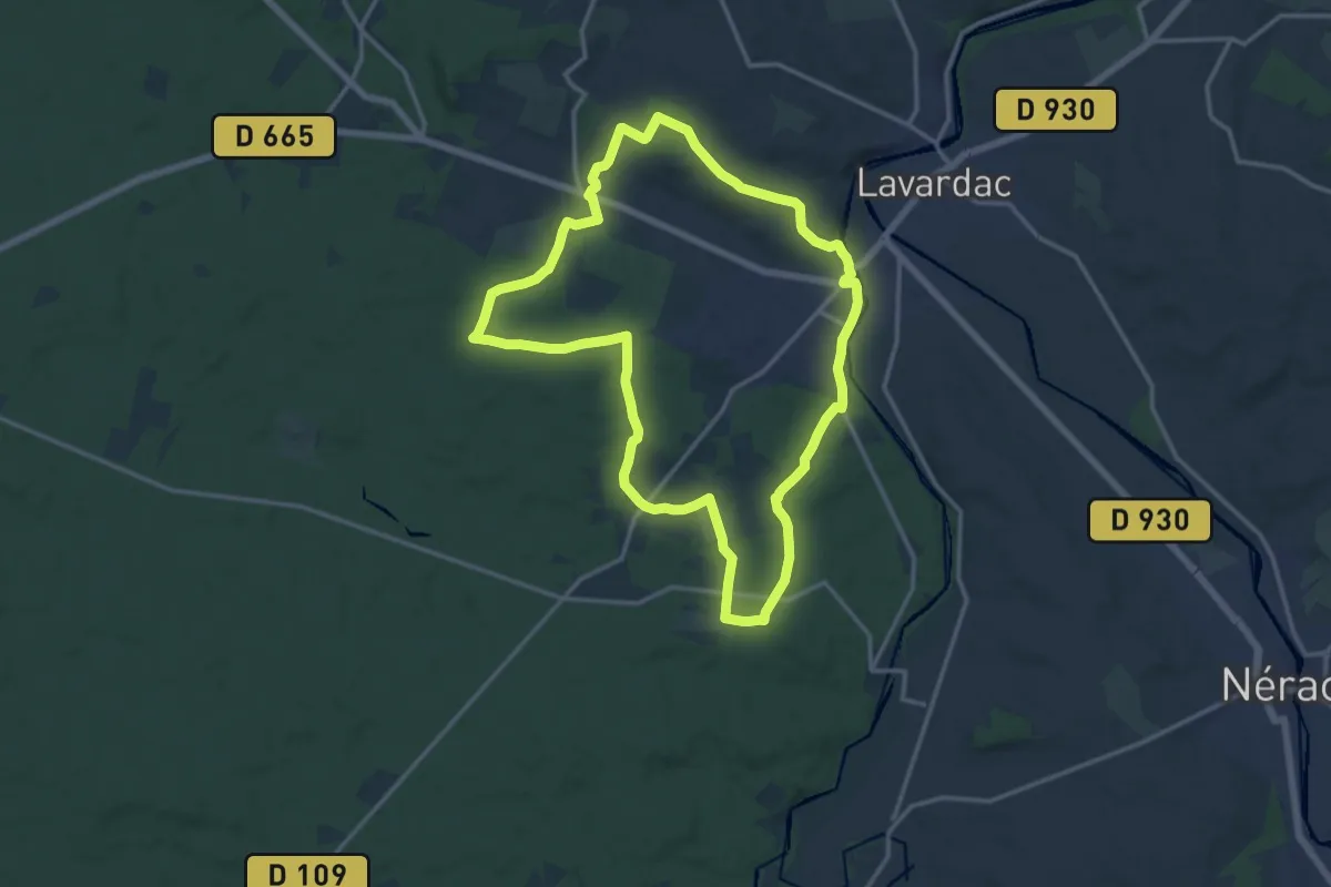
Medium · Trail
Baracou - Cabane de Fontouse
2.7 km · ↑ 227 m · 1 h 8 min
Medium · Trail
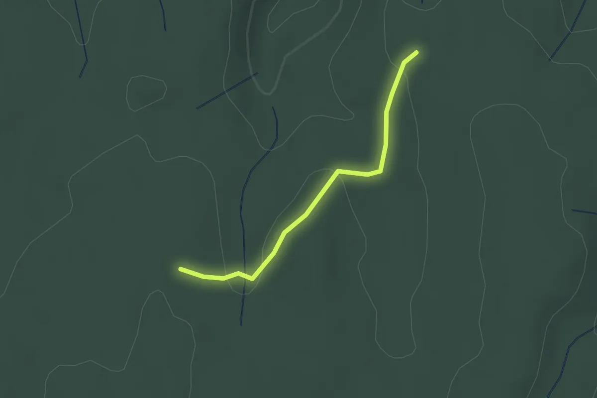
Barbaste, la randonnée de Béas et Lausseignan - 15.5 km
15.4 km · ↑ 299 m · 4 h 30 min
Easy · Trail
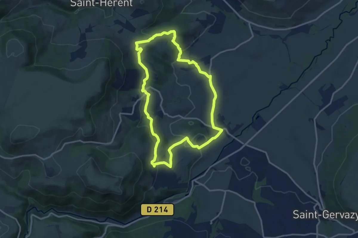
Bardalène - Pins de Saint-Montan
2.0 km · ↑ 43 m · 34 min
Medium · Trail
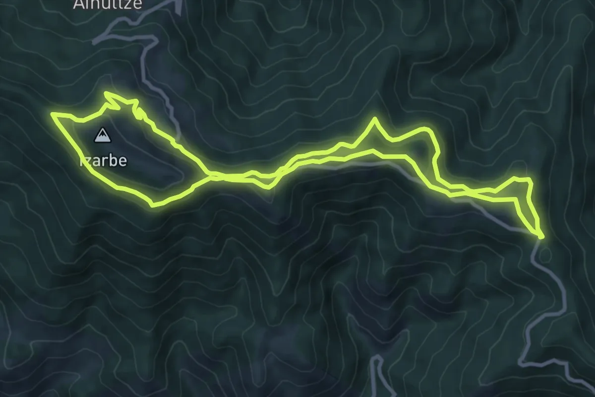
Bard et Letz
9.8 km · ↑ 272 m · 3 h 2 min
Medium · Summit
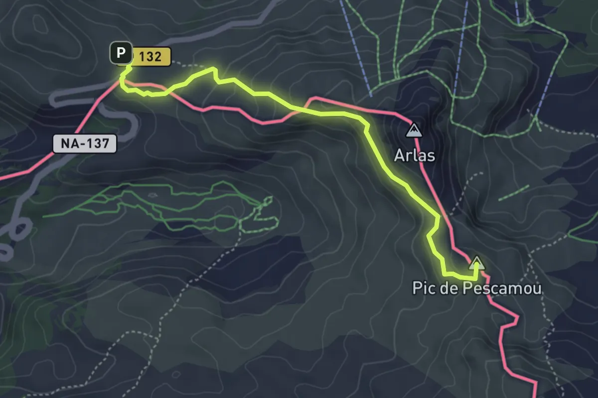
Barétous - Crêtes d'Issarbe
9.9 km · ↑ 318 m · 3 h 10 min
Expert · Summit
Barétous - Tête Sauvage
4.9 km · ↑ 180 m · 1 h 32 min
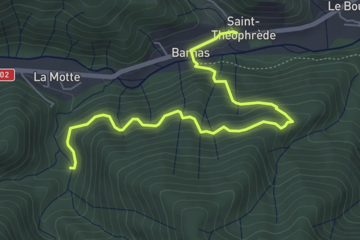
Medium · Trail
Barnas - La Planchette
6.0 km · ↑ 414 m · 2 h 18 min
Medium · Trail
Barrage de Guerlédan
12.1 km · ↑ 338 m · 3 h 46 min
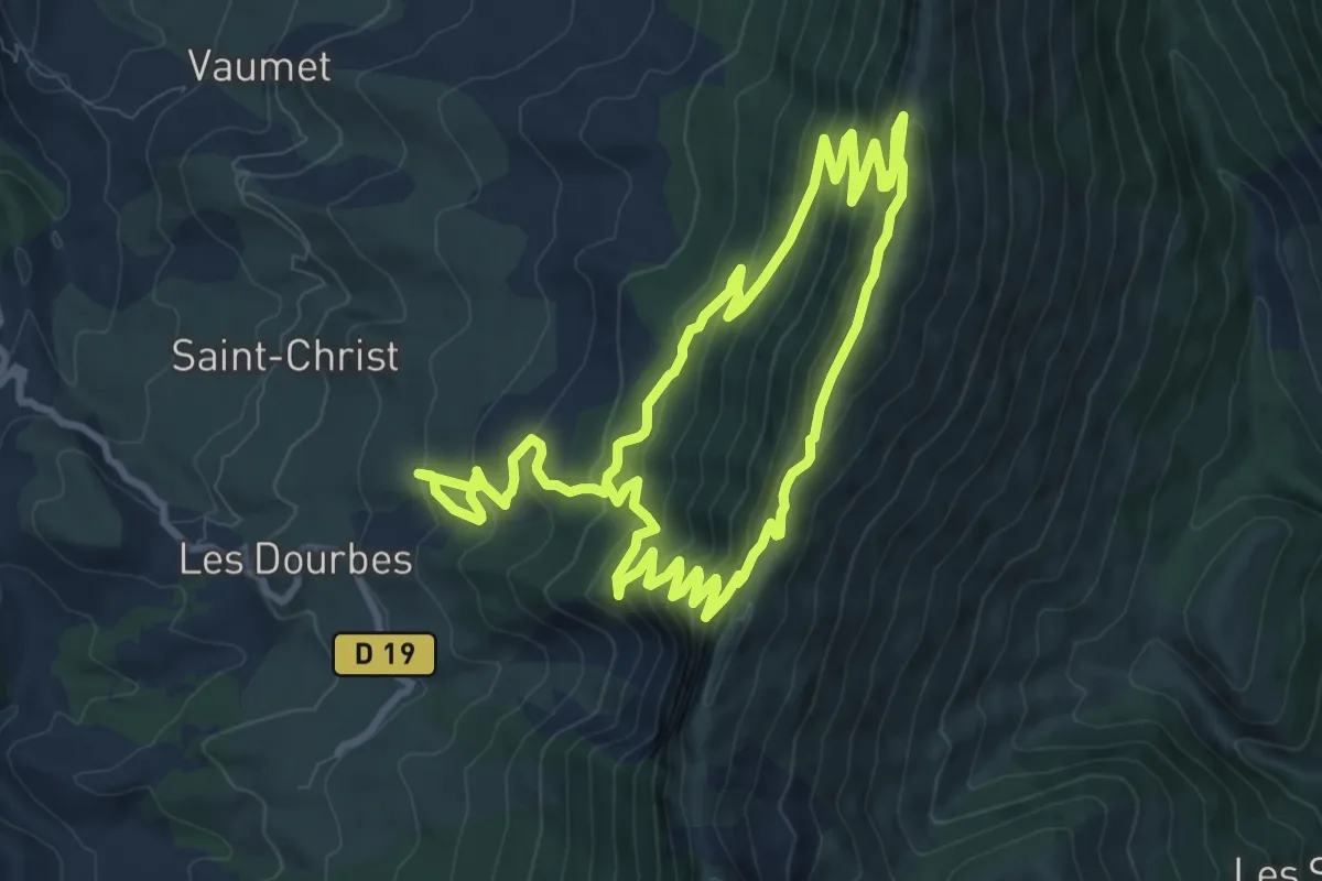
Demanding · Trail
Barre des Dourbes
9.6 km · ↑ 677 m · 3 h 49 min
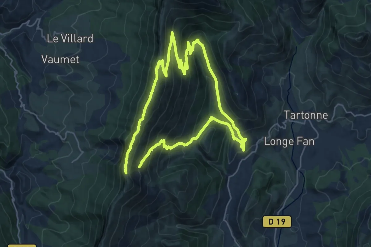
Demanding · Trail
Barre des Dourbes (Par Tartonne)
16.4 km · ↑ 816 m · 5 h 54 min
Easy · Trail
Barsac - Les Gras
2.9 km · ↑ 9 m · 43 min
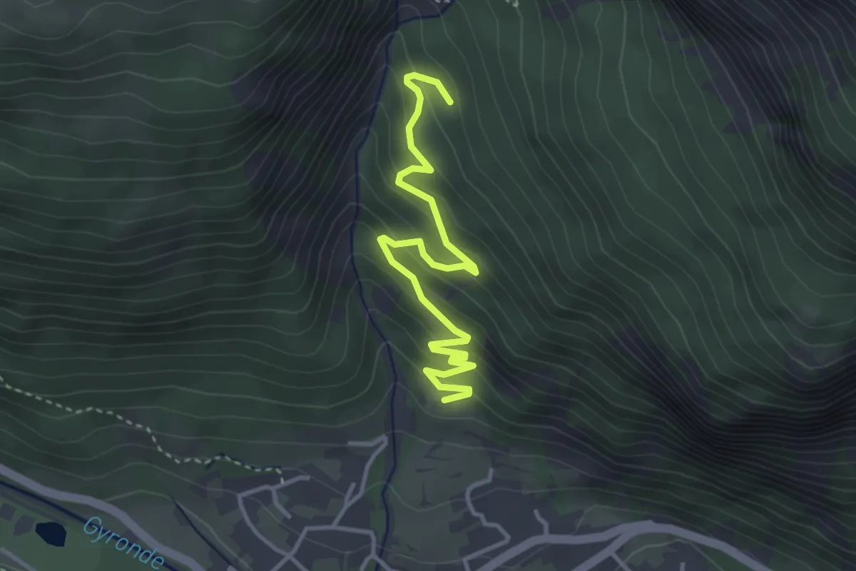
Easy · Trail
Barthalay - ?
3.9 km · ↑ 273 m · 1 h 31 min
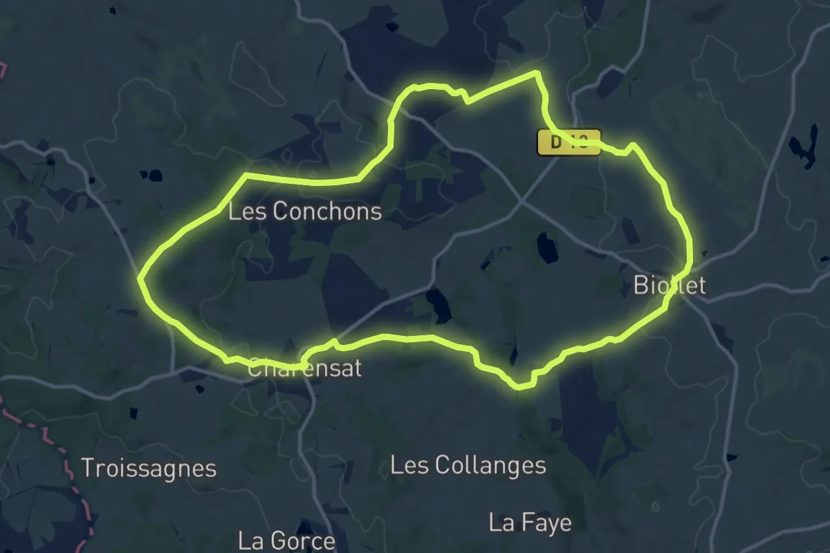
Medium · Trail
Bascobert
14.2 km · ↑ 230 m · 4 h 3 min
Medium · Trail
Bas de Bacqueville
9.3 km · ↑ 148 m · 2 h 39 min
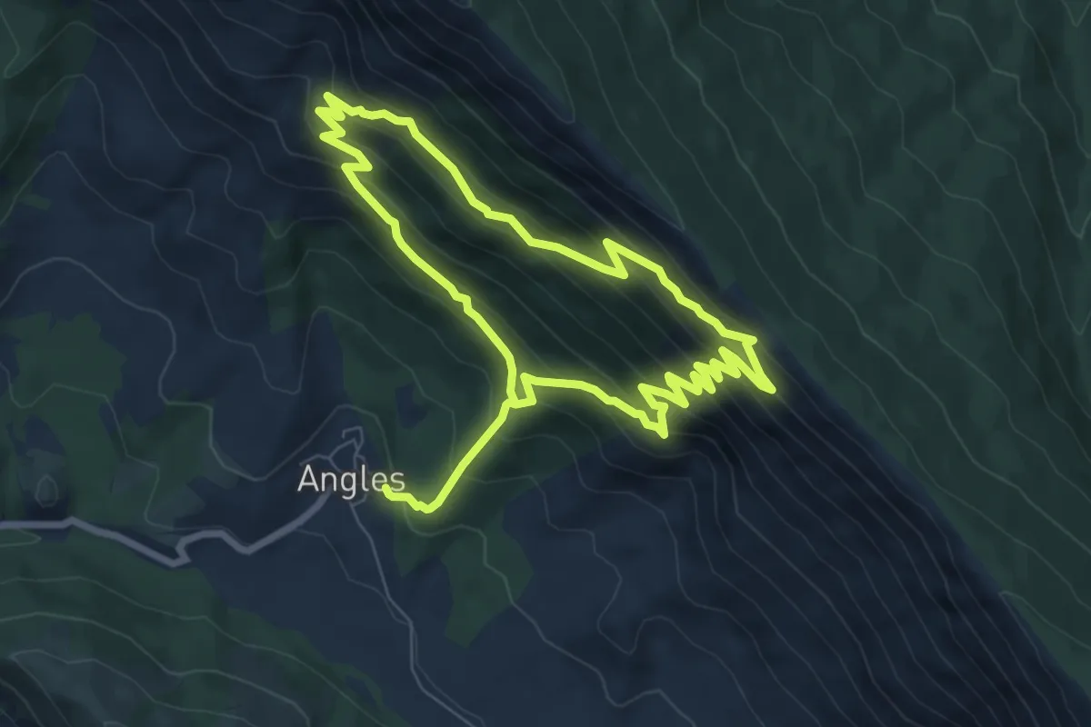
Medium · Trail
Basse d'Angles
7.2 km · ↑ 629 m · 3 h 6 min
Easy · Summit
Basse de Para - Pierre-Percée
5.4 km · ↑ 301 m · 1 h 56 min
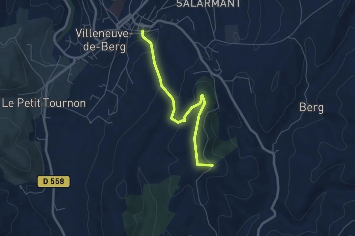
Easy · Trail
Basse Rue - Fournery
5.3 km · ↑ 186 m · 1 h 39 min
Easy · Trail
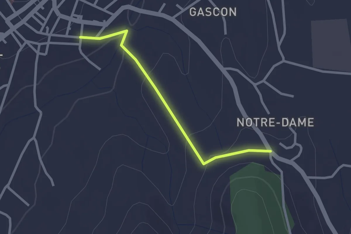
Basse Rue - Route de Saint-Andeol
2.2 km · ↑ 65 m · 40 min
Medium · Trail
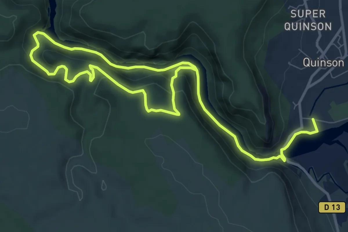
Basses gorges du Verdon - sentier du garde-canal
6.9 km · ↑ 319 m · 2 h 25 min
Medium · Trail
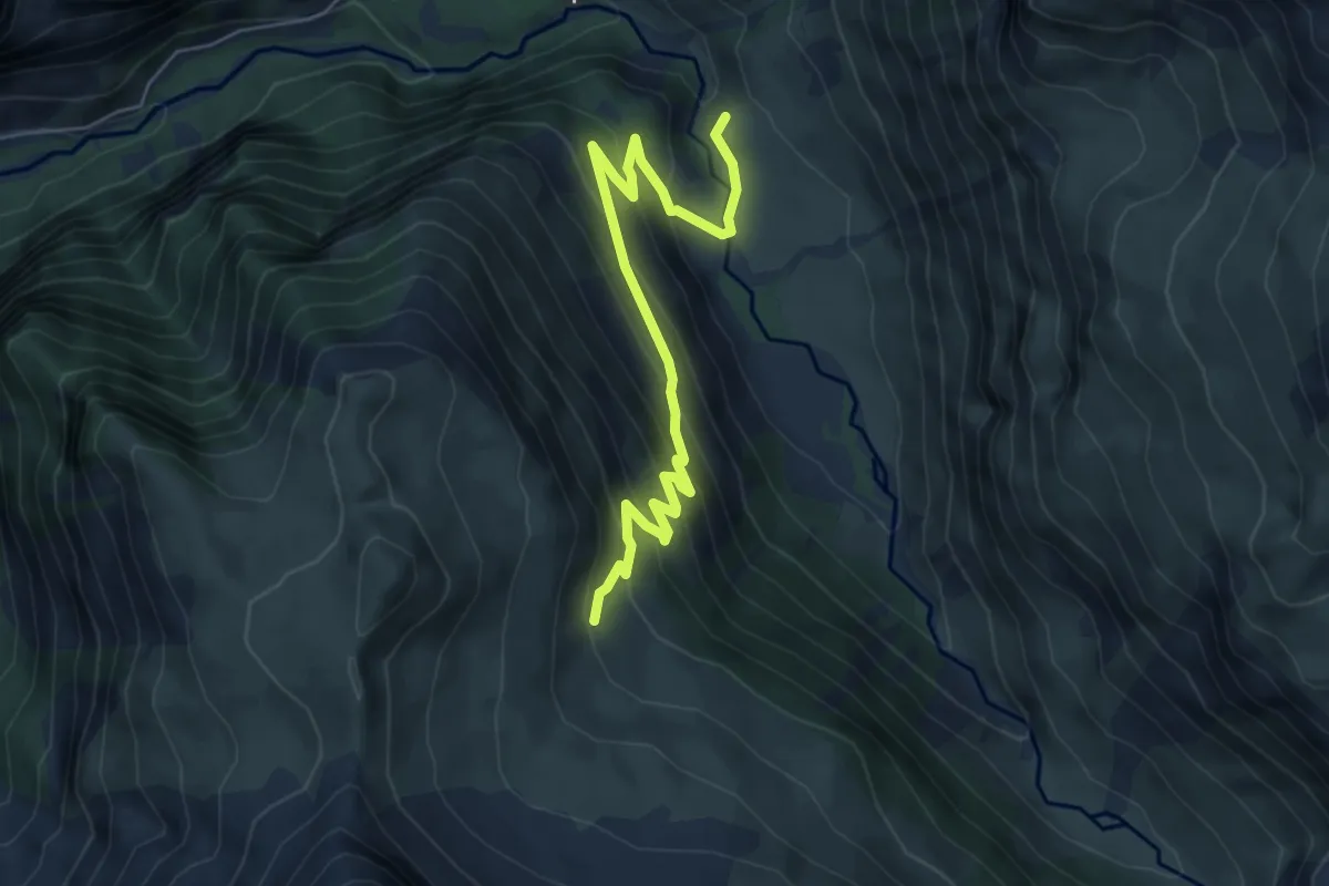
Basset - ?
6.5 km · ↑ 434 m · 2 h 28 min