Trails in France
15,926 hiking trails, each with its route, climb, walking time and grade.
All trails, page 123 of 332
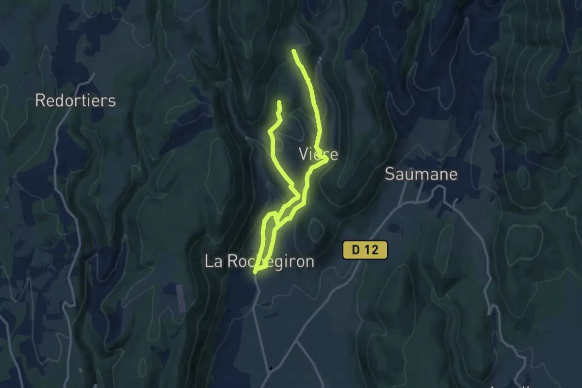
Medium · Trail
Hameau de Vière
8.6 km · ↑ 308 m · 2 h 46 min
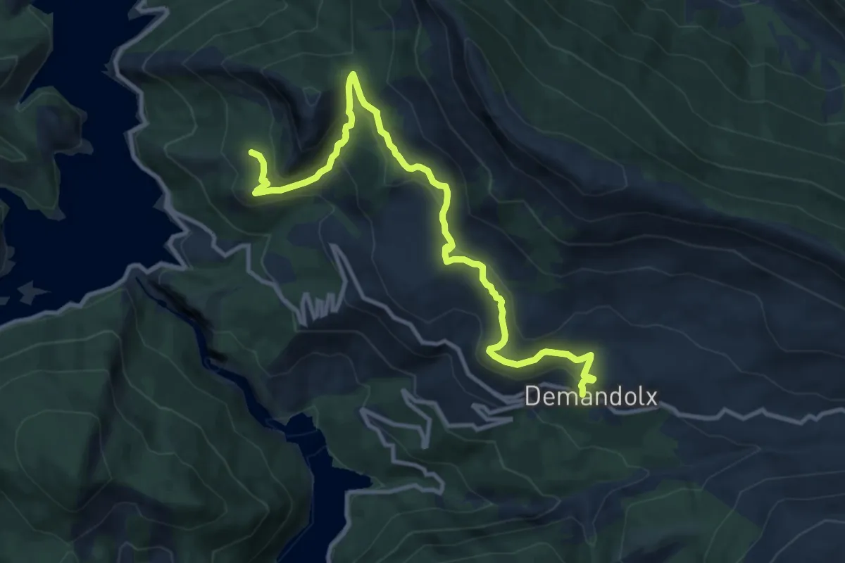
Medium · Trail
Hameau de Ville
6.0 km · ↑ 278 m · 2 h 6 min
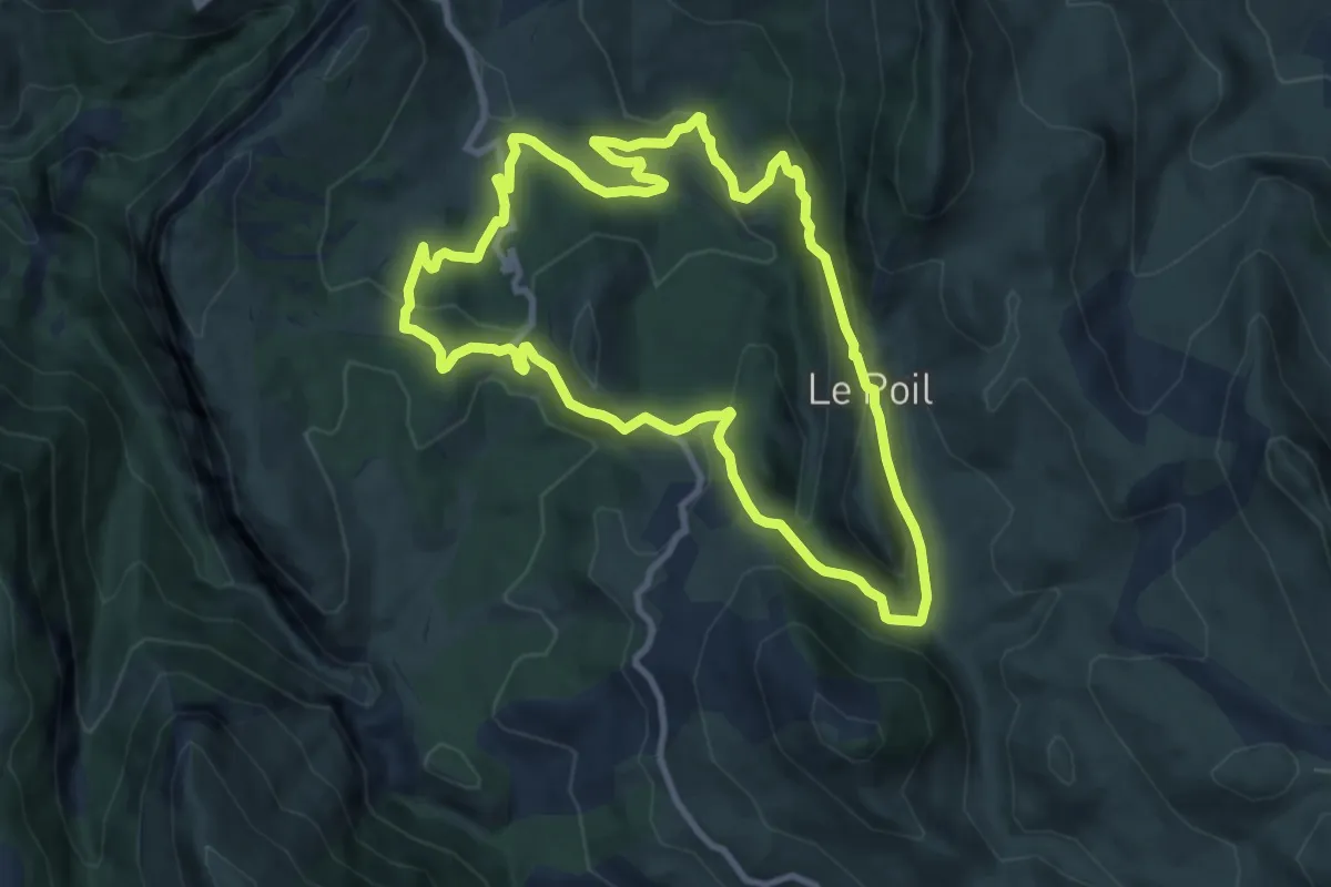
Medium · Trail
Hameau du Poil
9.7 km · ↑ 346 m · 3 h 10 min
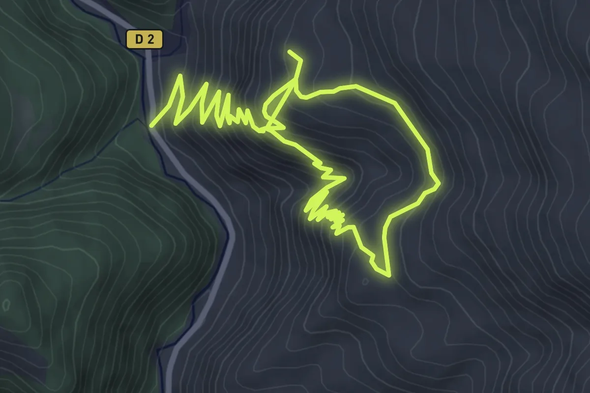
Easy · Trail
Hameau du Seuil
5.4 km · ↑ 249 m · 2 h 1 min
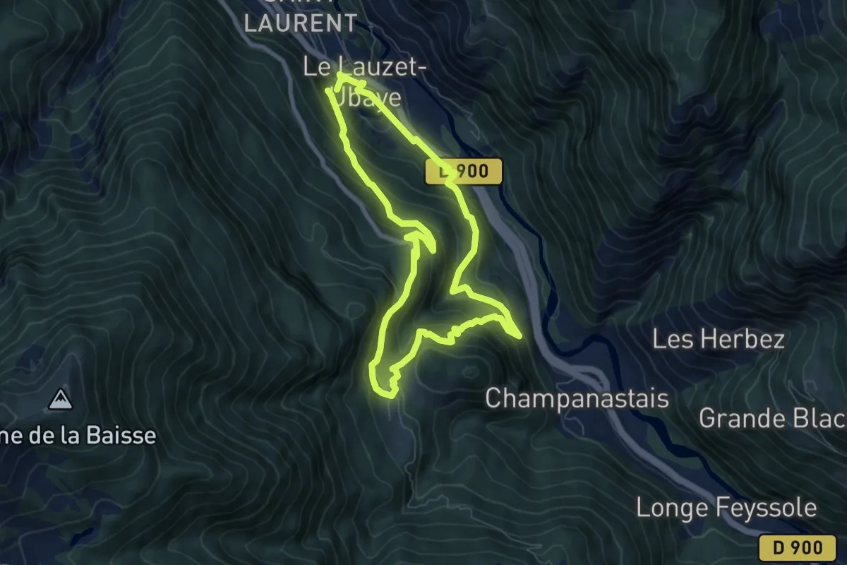
Medium · Summit
Hameau du Villard
7.0 km · ↑ 523 m · 2 h 52 min
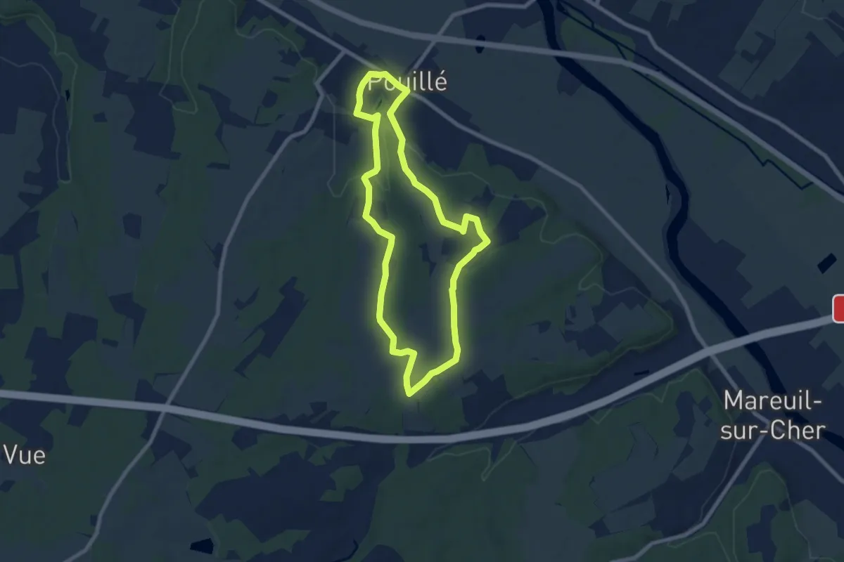
Easy · Trail
Hameau et vignoble
7.0 km · ↑ 85 m · 1 h 56 min
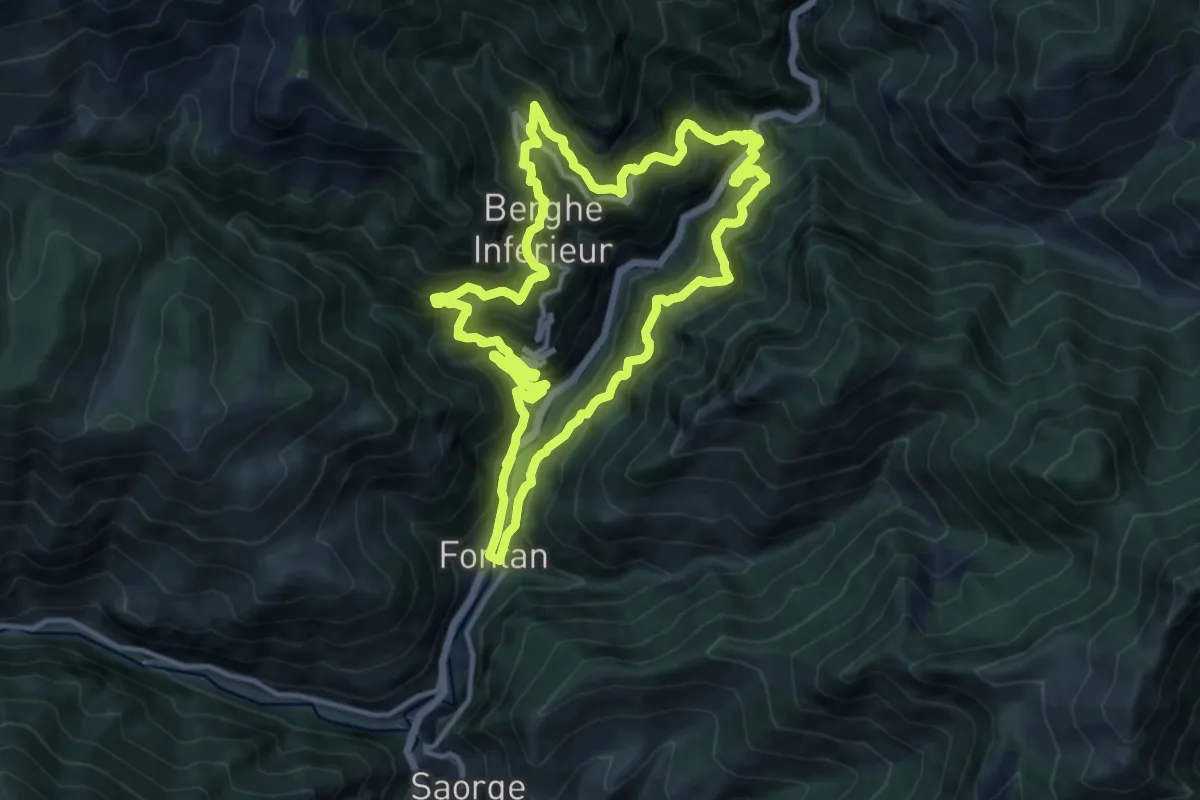
Demanding · Trail
Hameaux de Bergue
13.6 km · ↑ 1189 m · 5 h 59 min
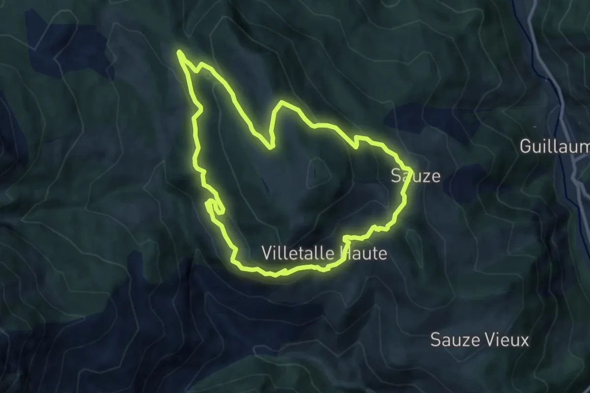
Medium · Trail
Hameaux de Sauze
8.7 km · ↑ 509 m · 3 h 16 min
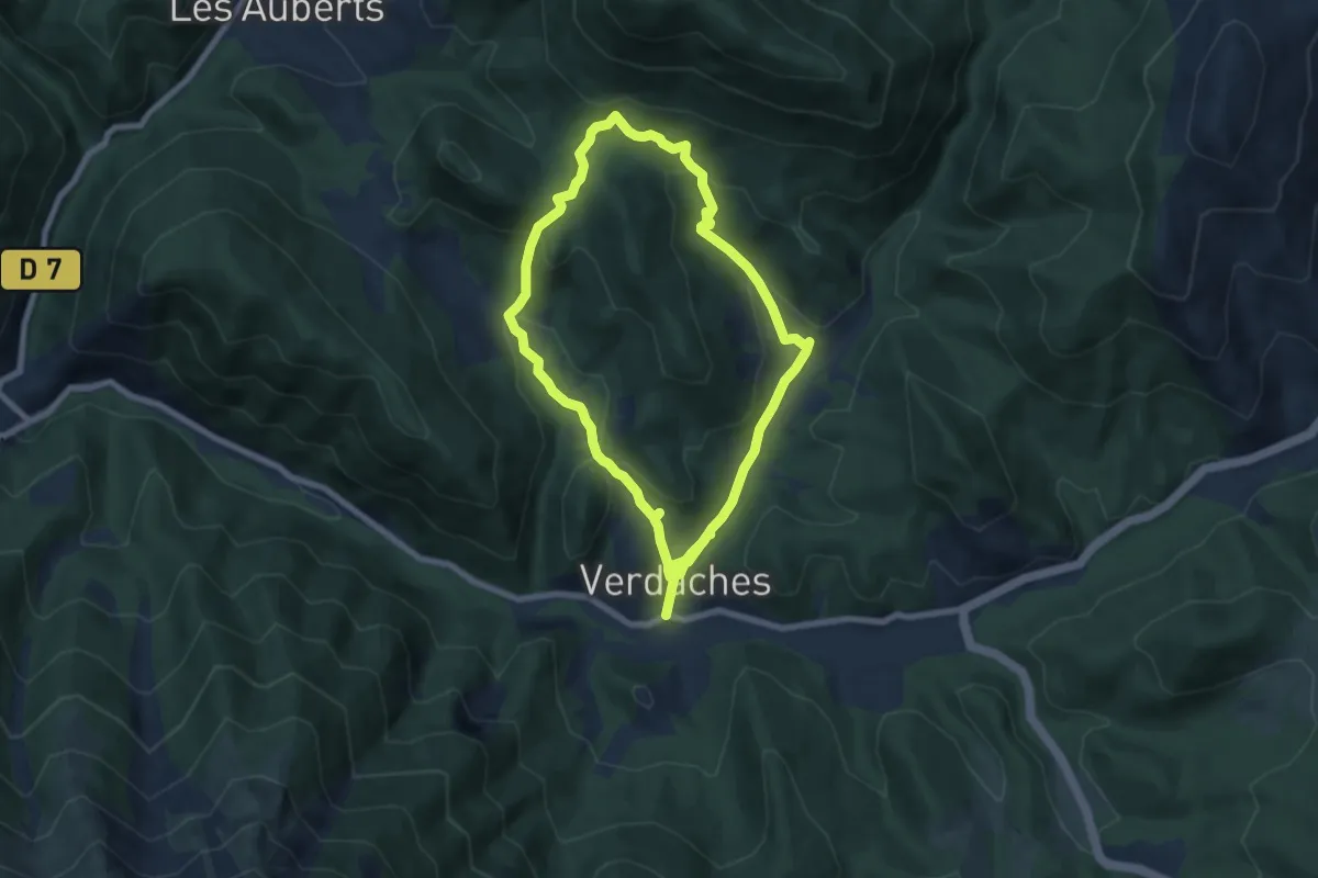
Easy · Trail
Hameaux de Verdaches
6.7 km · ↑ 278 m · 2 h 17 min
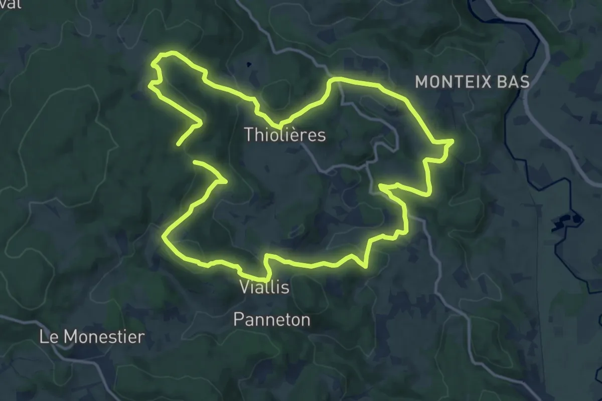
Medium · Trail
Hameaux du Livradois
13.4 km · ↑ 458 m · 4 h 20 min
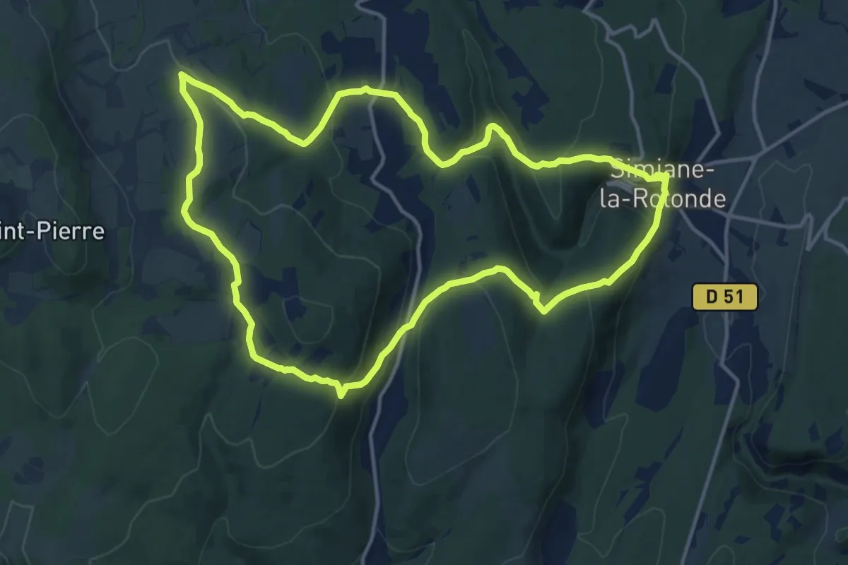
Medium · Trail
Haut Cardinal
14.2 km · ↑ 508 m · 4 h 40 min
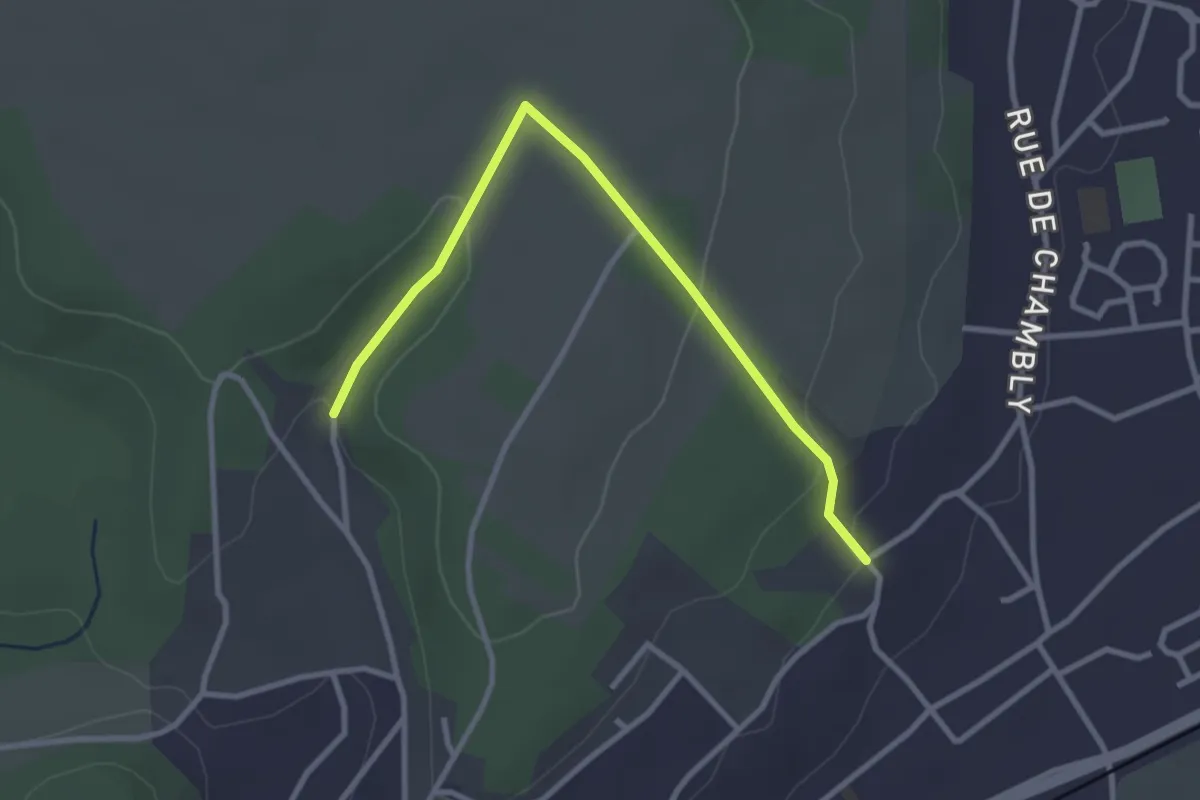
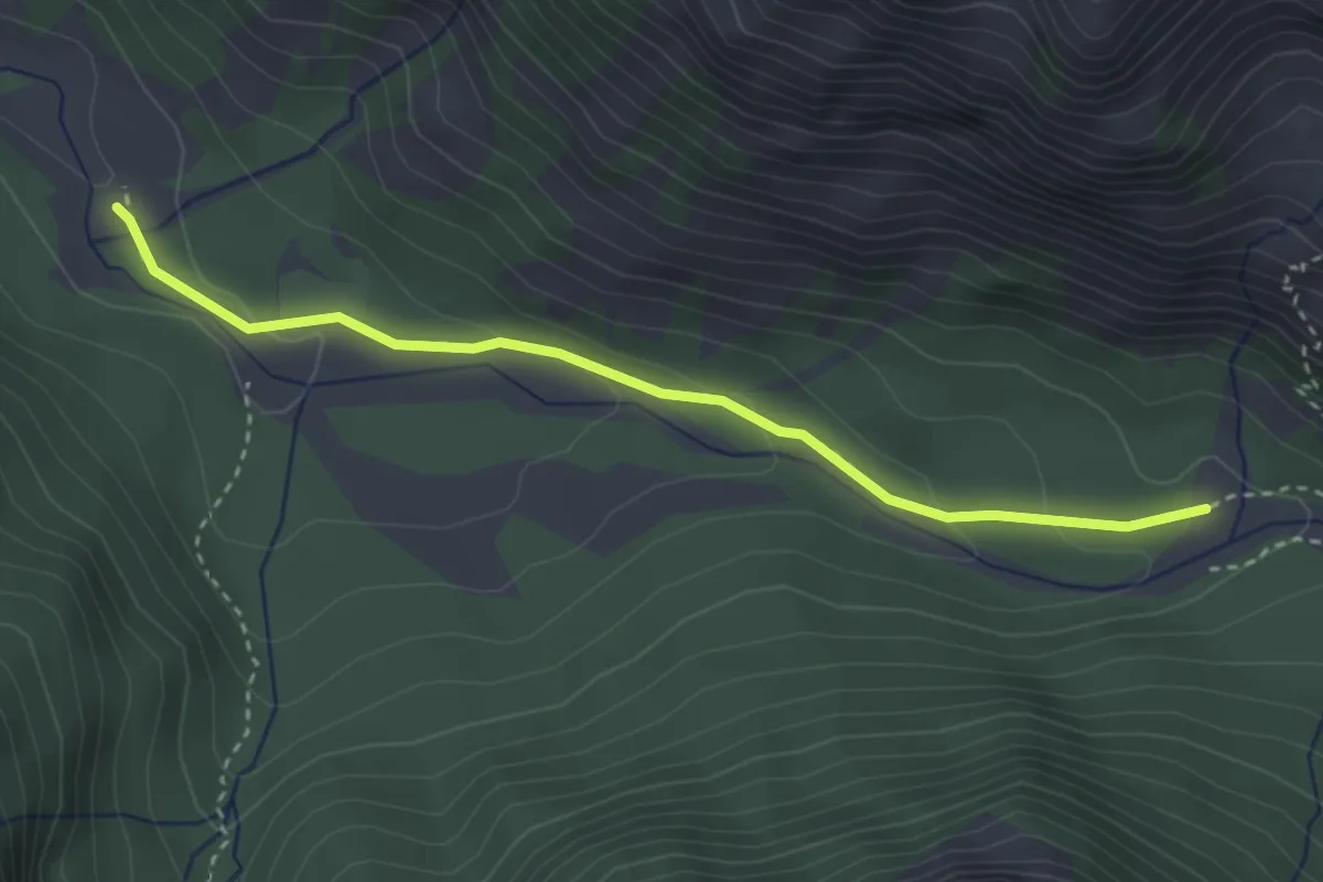
Easy · Trail
Haut de Champagne
3.0 km · ↑ 72 m · 52 min
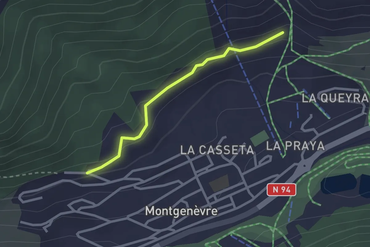
Easy · Trail
Haute Rua - Cabane des Chalances
3.4 km · ↑ 98 m · 1 h
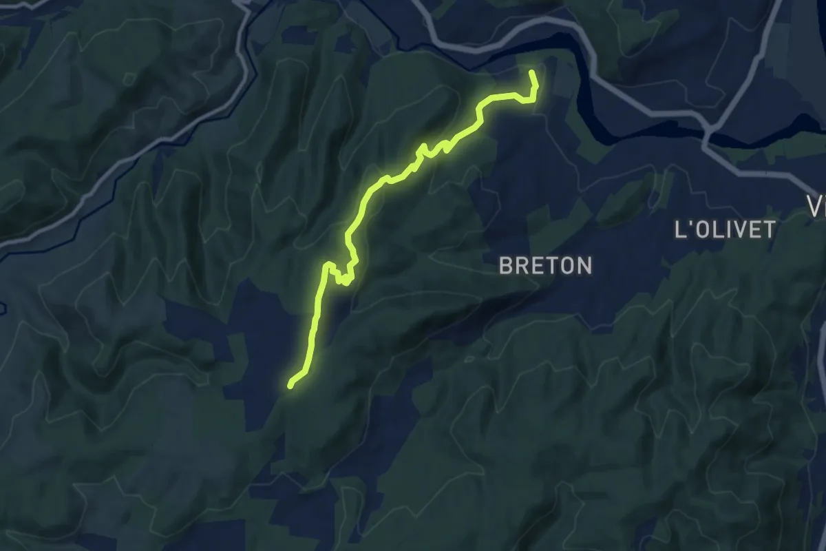
Easy · Trail
Hautes Combes - ?
2.1 km · ↑ 66 m · 39 min
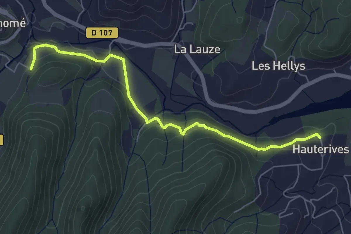
Medium · Trail
Hautes Rives - Bayne
9.2 km · ↑ 341 m · 2 h 55 min
Easy · Trail
Hautes Rives - La Pignatelle
5.6 km · ↑ 129 m · 1 h 37 min
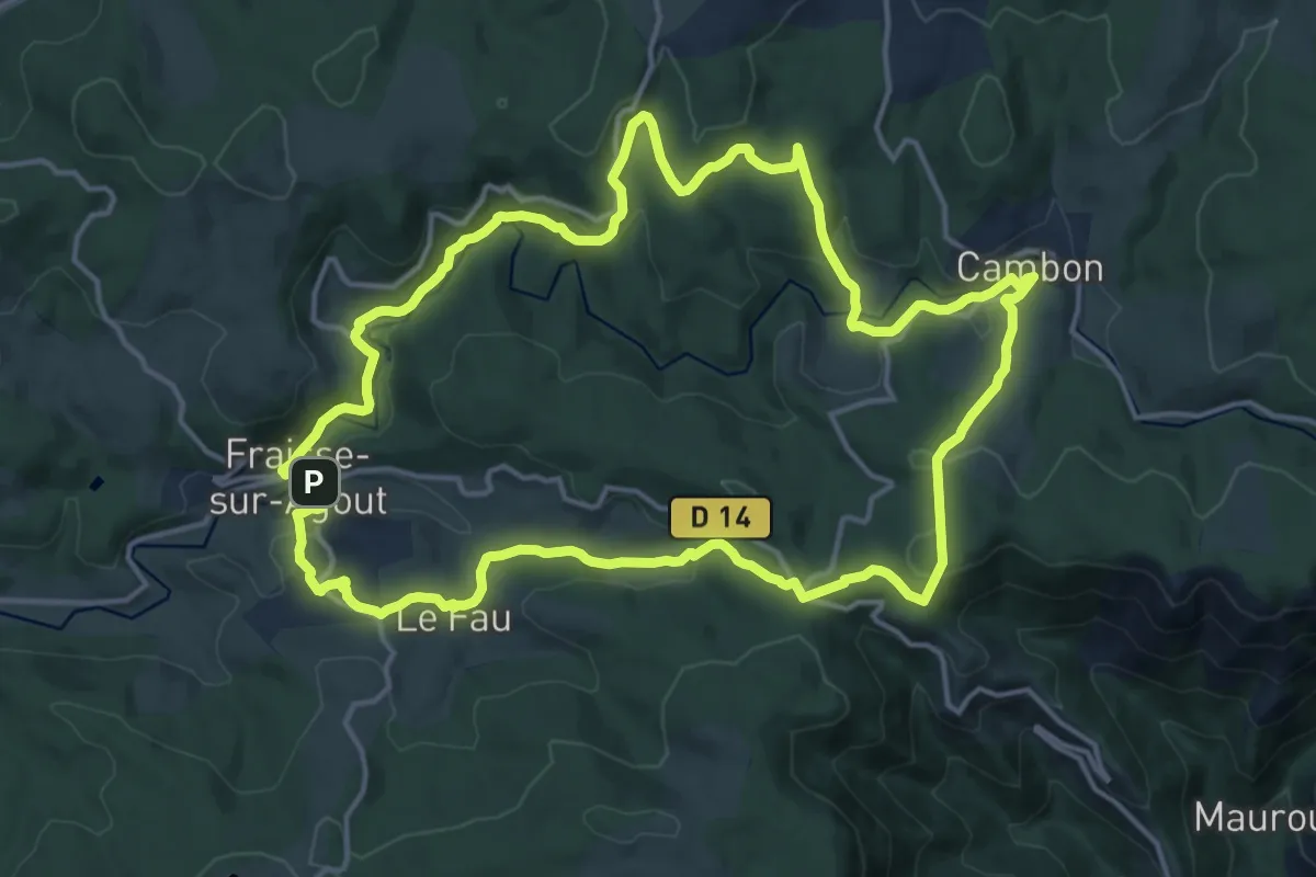
Medium · Trail
Haute Vallée de l'Agout
16.9 km · ↑ 478 m · 5 h 16 min
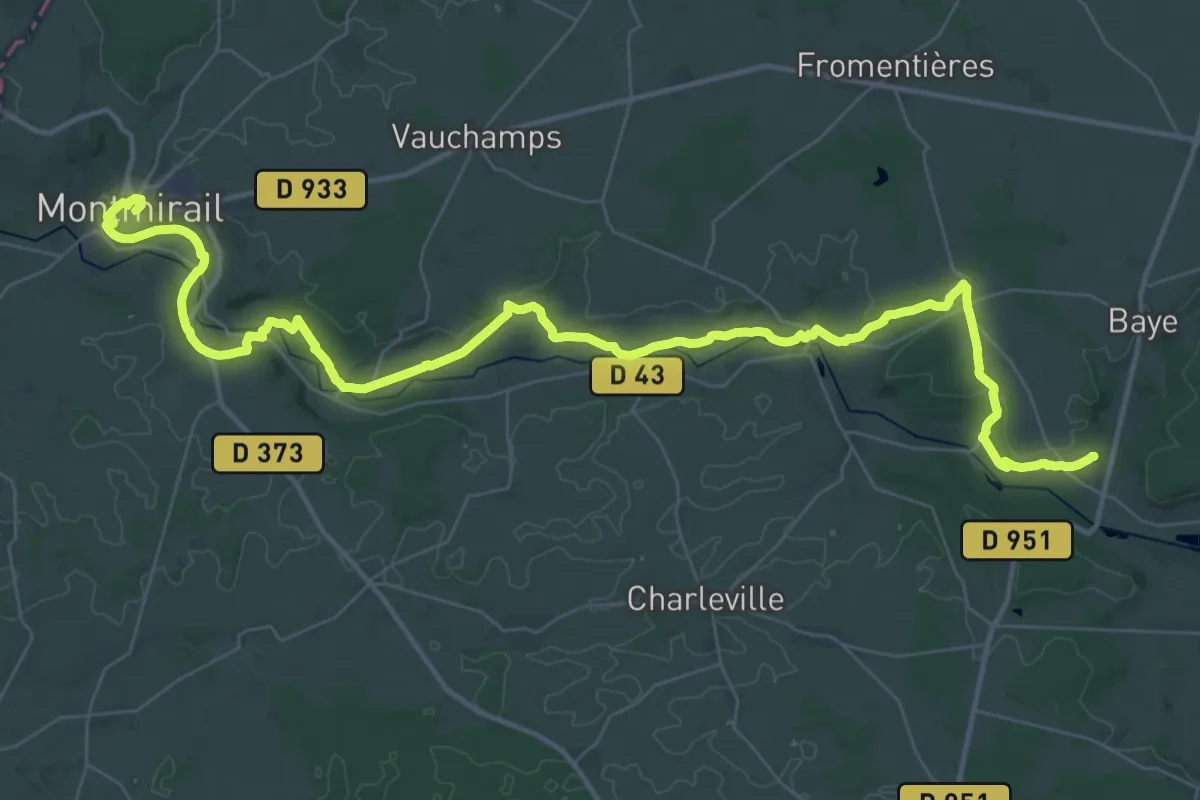
Demanding · Trail
Haute Vallée du Petit Morin
25.4 km · ↑ 324 m · 7 h 4 min
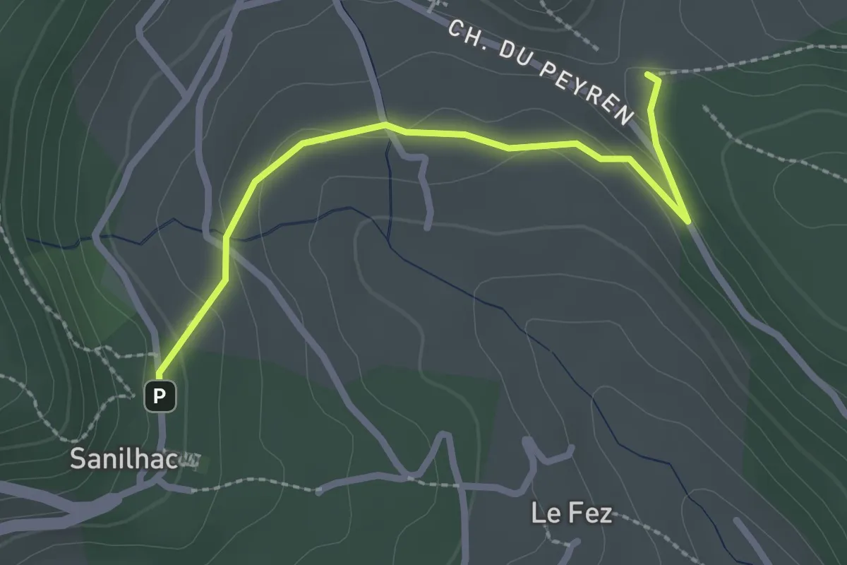
Easy · Trail
Haut Laval - Sanilhac Info Rando
2.4 km · ↑ 58 m · 42 min
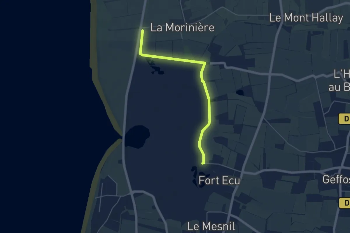
Easy · Trail
Havre de Geffosses
4.3 km · ↑ 0 m · 1 h 1 min
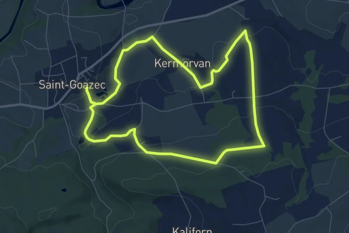
Easy · Trail
Hent ar gurun
7.3 km · ↑ 175 m · 2 h 13 min
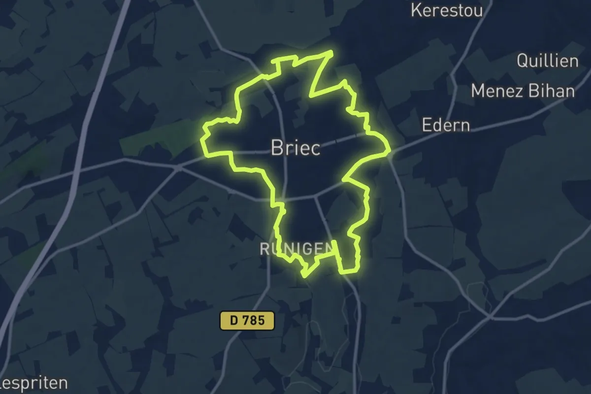
Medium · Trail
Hent Glaz
10.3 km · ↑ 117 m · 2 h 50 min
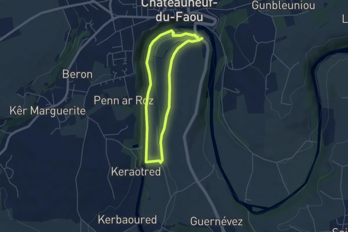
Easy · Trail
Hent Kozh Steraon
4.1 km · ↑ 56 m · 1 h 8 min
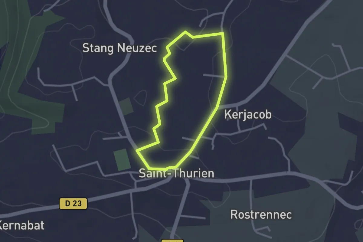
Easy · Trail
Hentou Kozh 1
2.1 km · ↑ 34 m · 36 min
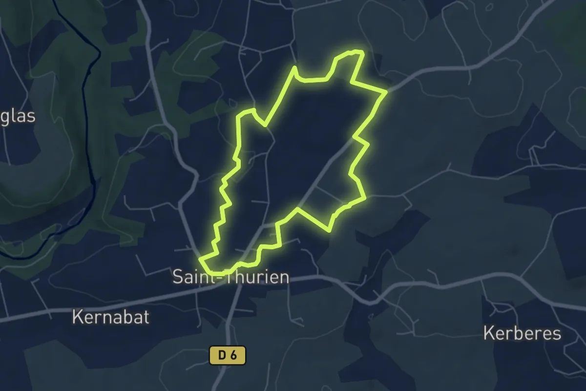
Easy · Trail
Hentou Kozh 2
5.5 km · ↑ 64 m · 1 h 30 min
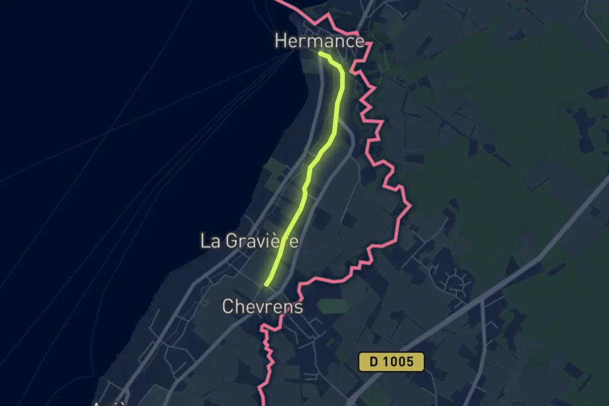
Easy · Trail
Hermance - Chevrens
4.1 km · ↑ 38 m · 1 h 3 min
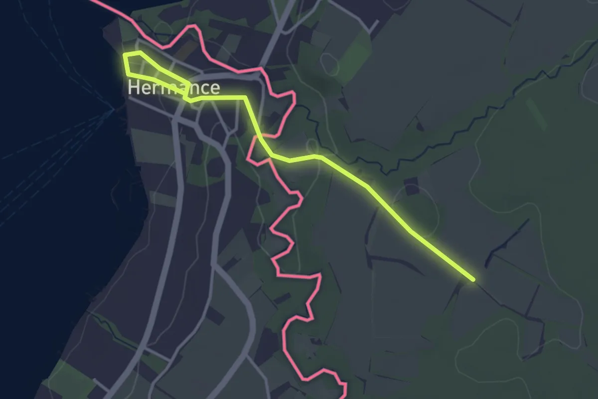
Easy · Trail
Hermance - Les Lombards (F)
3.6 km · ↑ 50 m · 58 min
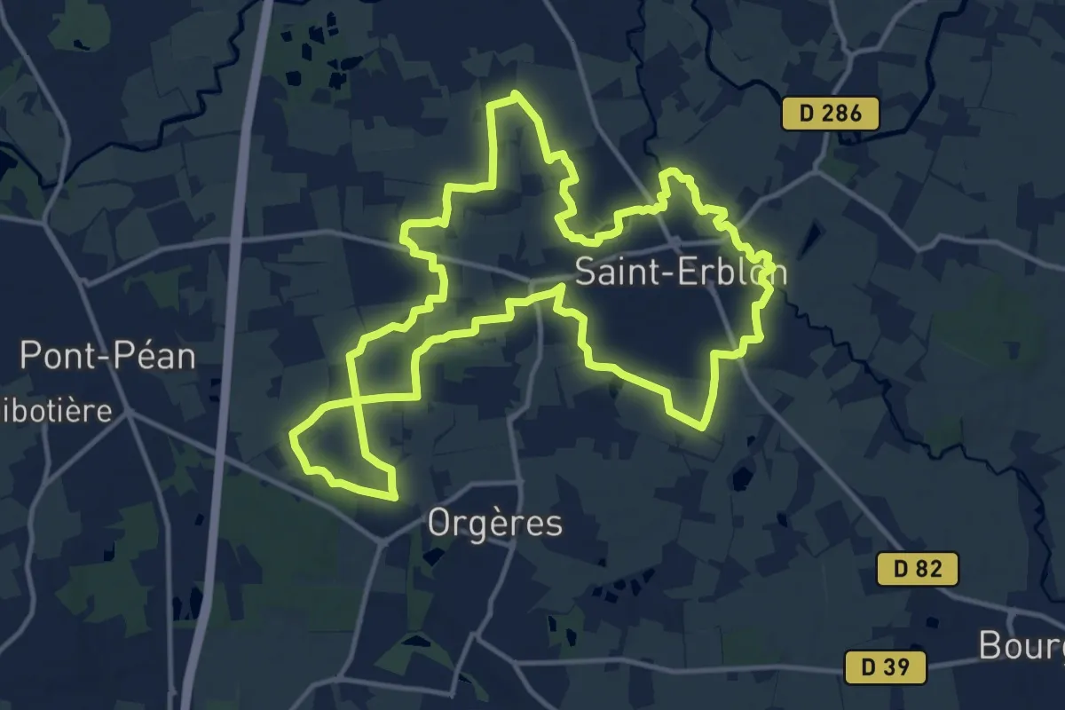
Medium · Trail
Hermeland Ouest
14.1 km · ↑ 62 m · 3 h 40 min
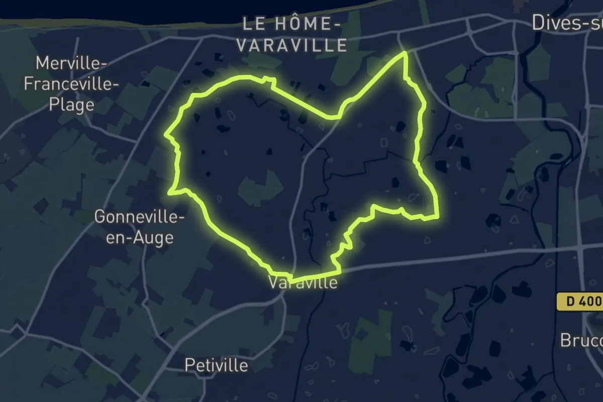
Medium · Trail
Hérons et Cigognes
13.5 km · ↑ 4 m · 3 h 24 min
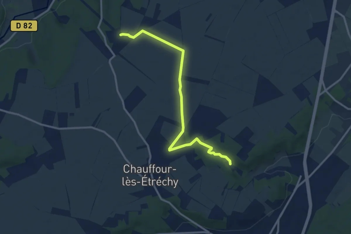
Easy · Trail
Hespérides à Héliomonde
7.7 km · ↑ 38 m · 1 h 54 min
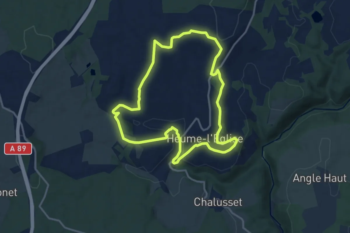
Medium · Trail
Heume-l'Eglise
8.8 km · ↑ 200 m · 2 h 38 min
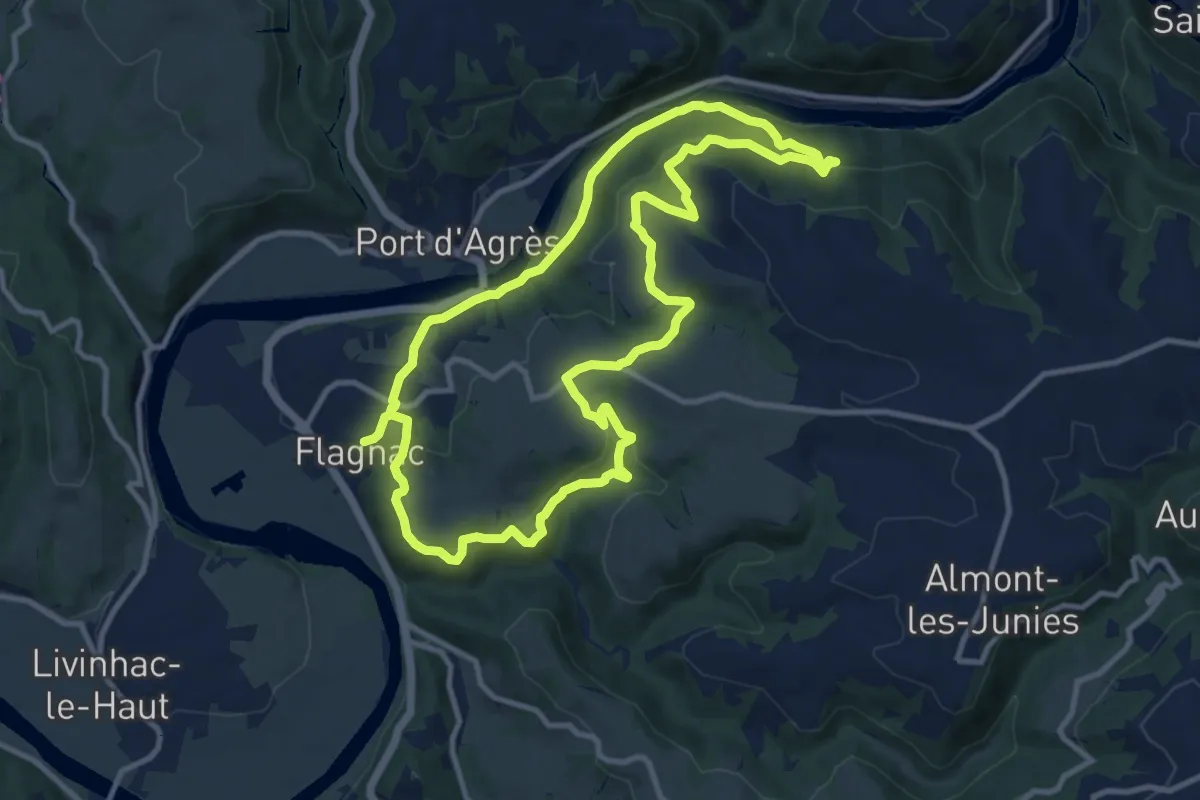
Medium · Trail
Hier, un village
11.2 km · ↑ 409 m · 3 h 41 min
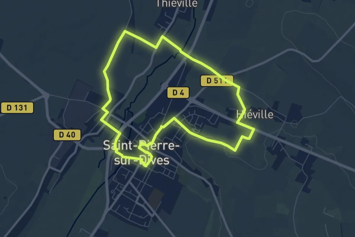
Easy · Trail
Hiéville par le Moulin d’Antais
7.0 km · ↑ 27 m · 1 h 49 min
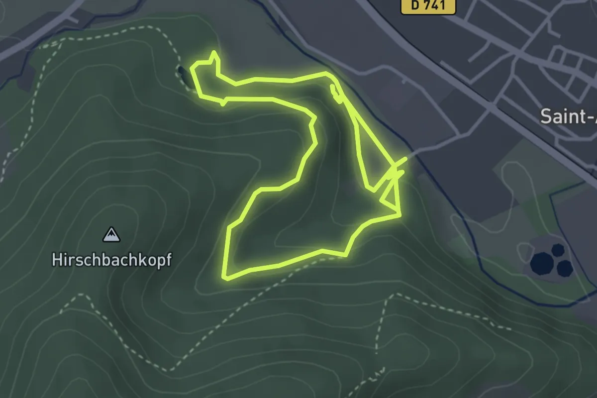
Easy · Trail
Hirschenbach
3.2 km · ↑ 117 m · 1 h 4 min
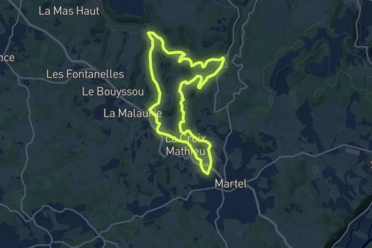
Medium · Trail
Histoire d'eau au pays des pierres
11.8 km · ↑ 348 m · 3 h 43 min
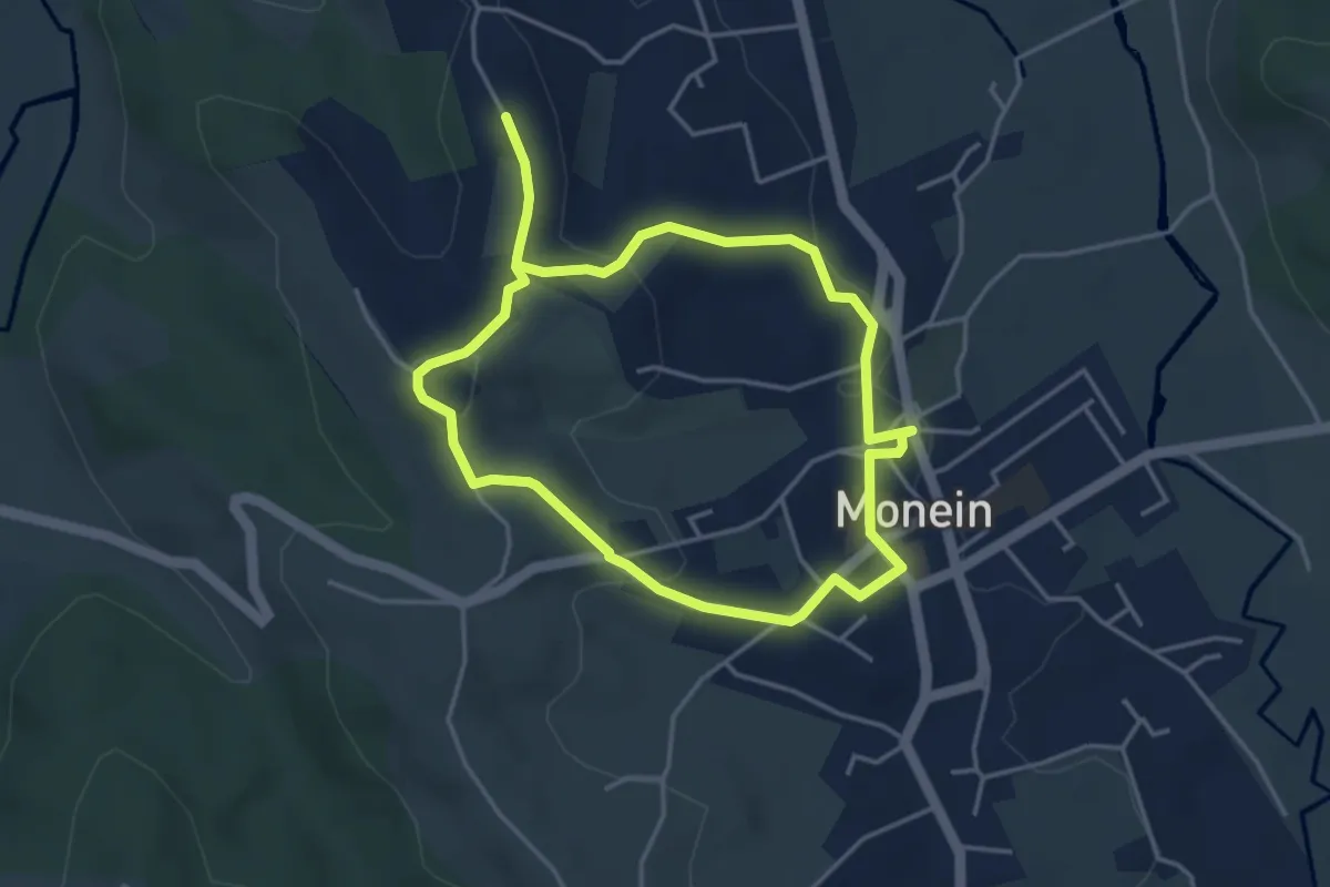
Easy · Trail
Histoire de Monein
3.8 km · ↑ 96 m · 1 h 10 min
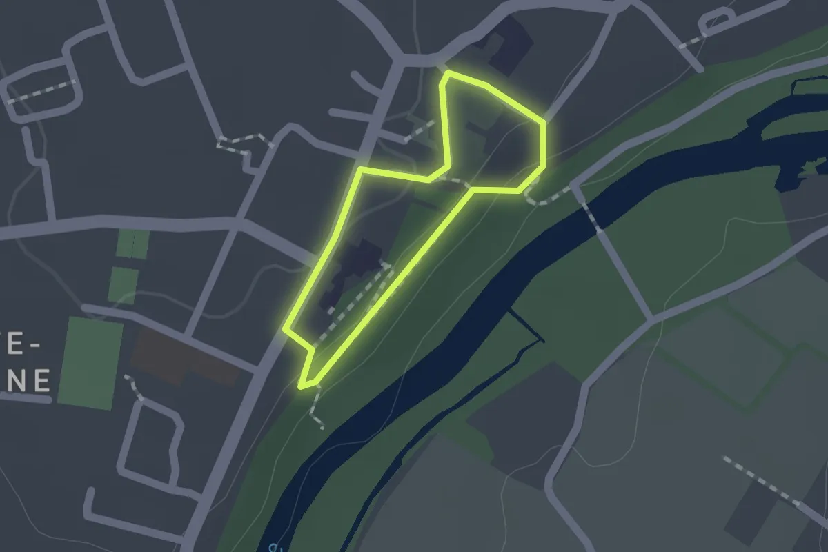
Easy · Trail
Histoire et patrimoine
1.1 km · ↑ 25 m · 19 min
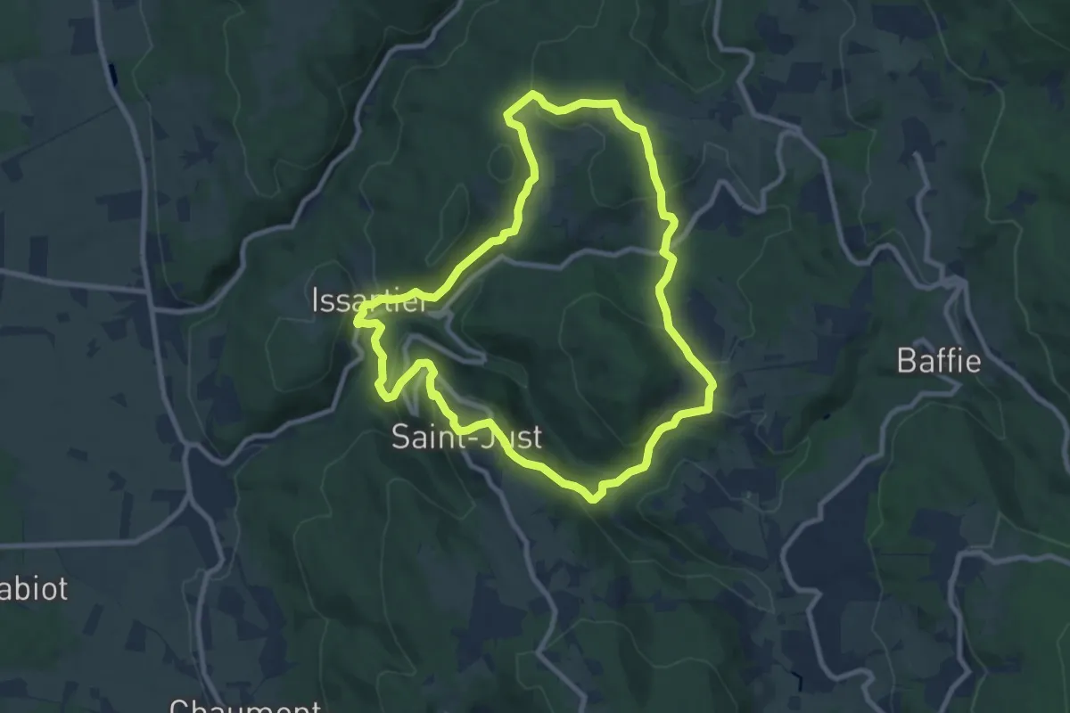
Medium · Trail
Histoires d'eau
8.8 km · ↑ 344 m · 2 h 56 min
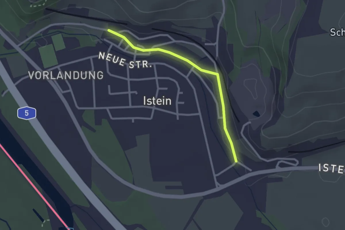
Easy · Trail
Hodbach - Istein Stapflehus
2.2 km · ↑ 29 m · 35 min
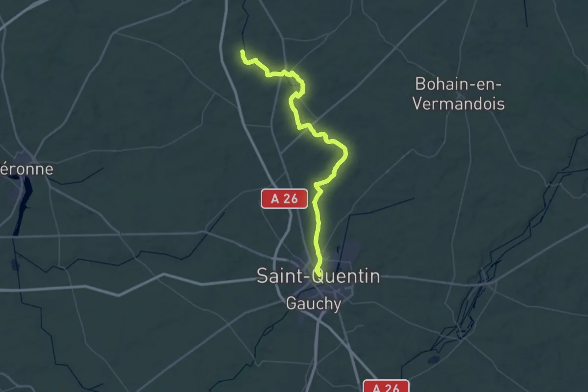
Demanding · Trail
Hordain - Saint-Quentin
30.3 km · ↑ 198 m · 8 h
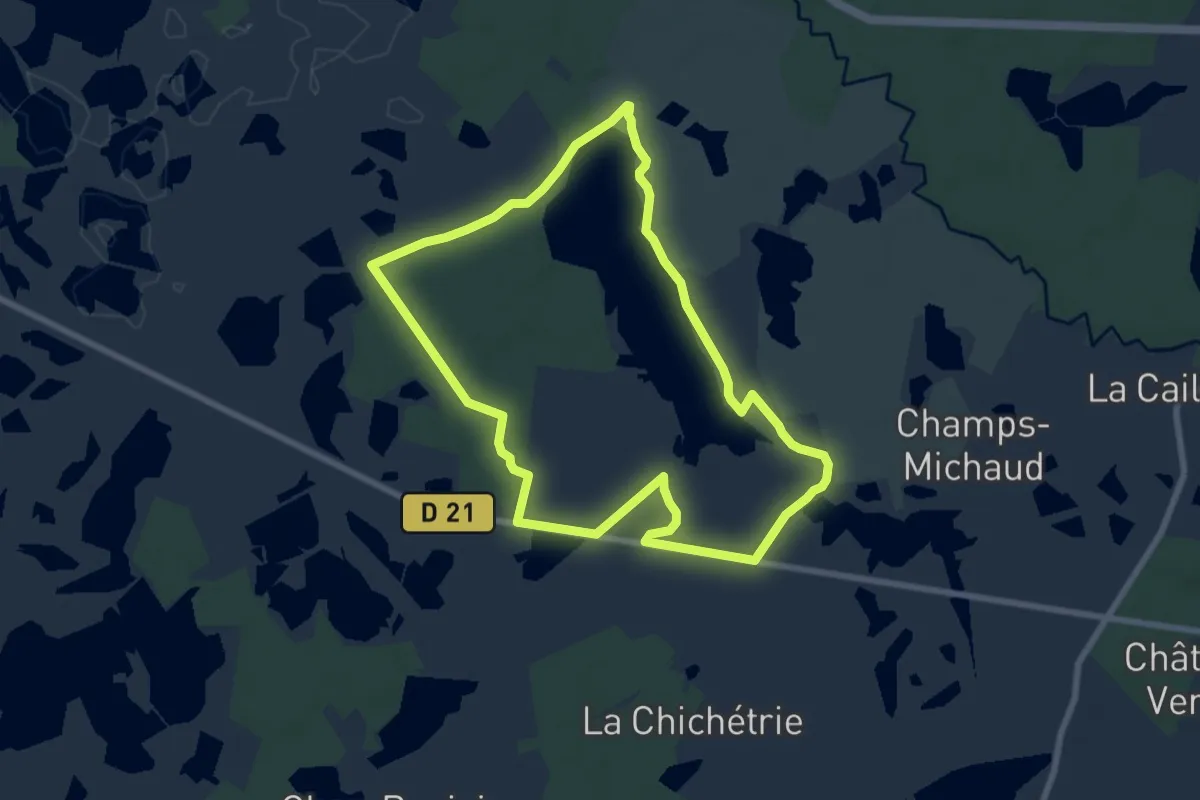
Easy · Trail
Horizon de nénuphars
7.4 km · ↑ 21 m · 1 h 54 min
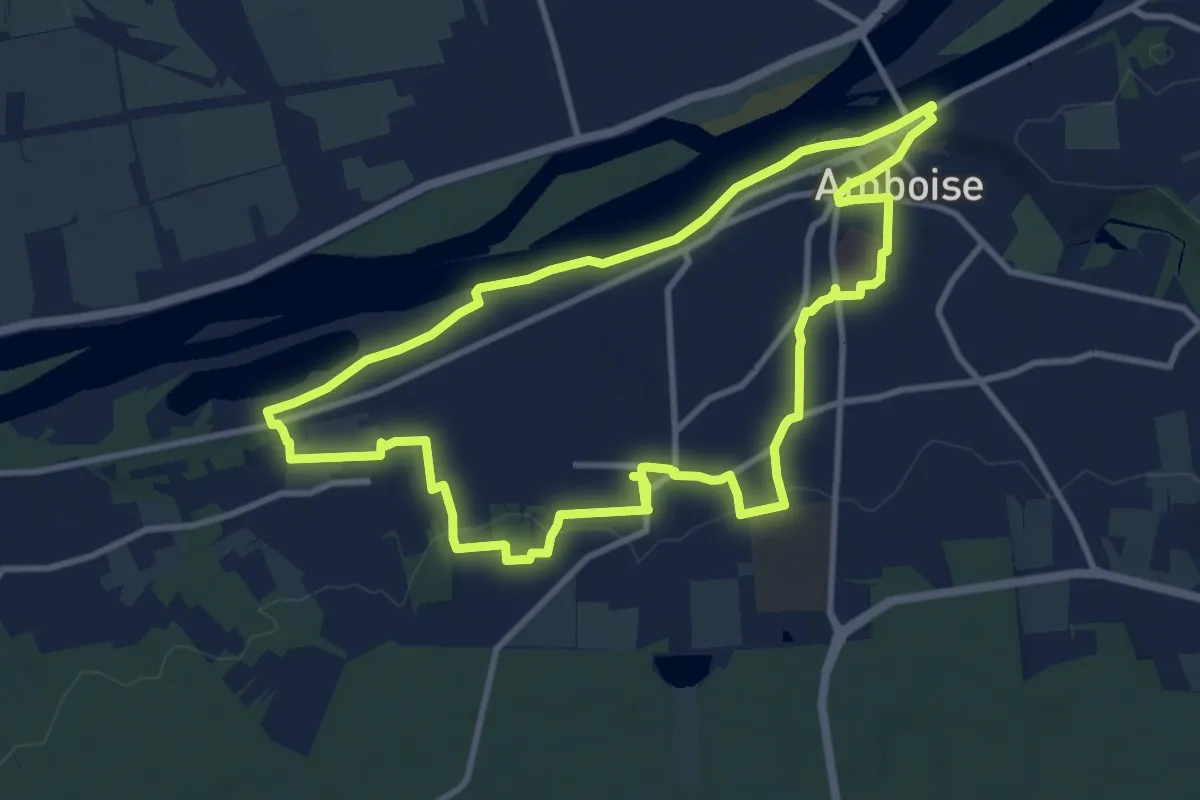
Medium · Trail
Hors des Sentiers Battus - Amboise
10.4 km · ↑ 82 m · 2 h 47 min
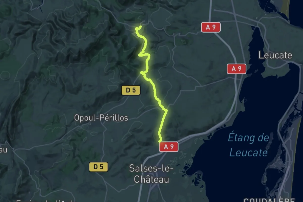
Demanding · Trail
Hortoux - Plana de Salses
23.0 km · ↑ 512 m · 6 h 32 min
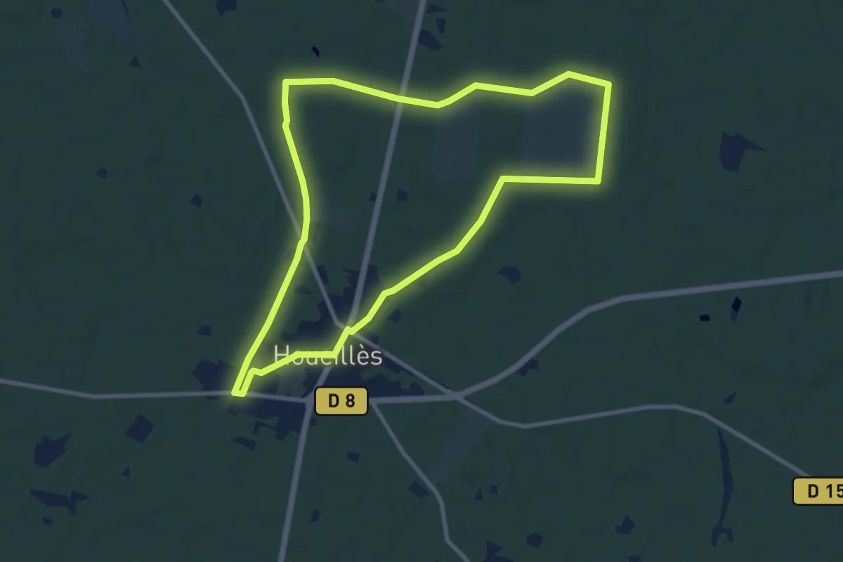
Medium · Trail
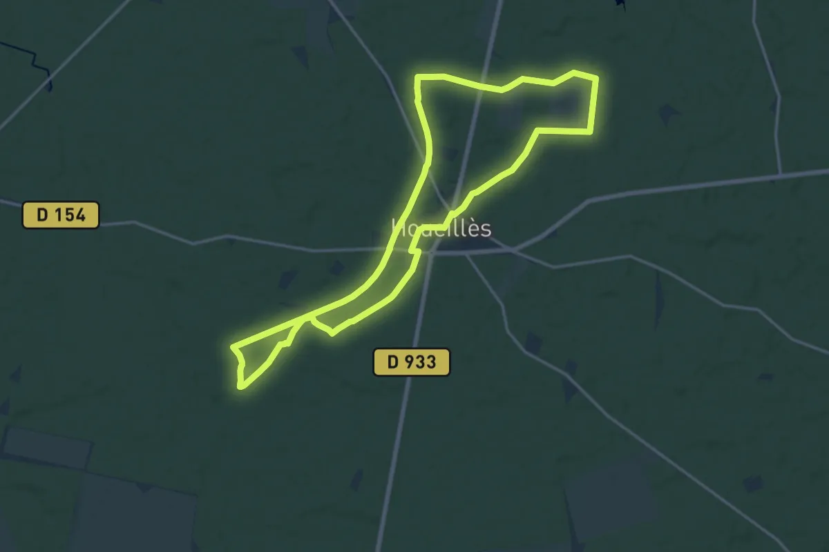
Houeillès, balade en forêt - 9.4 km
9.3 km · ↑ 46 m · 2 h 26 min
Medium · Trail
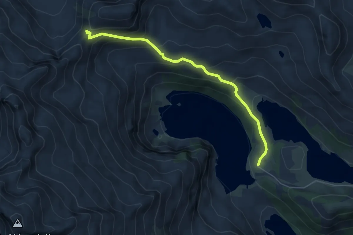
Houeillès, dans la forêt des Lugues - 16.1 km
15.9 km · ↑ 61 m · 4 h 7 min
Medium · Cabin
Hourquette d'Aubert
5.2 km · ↑ 339 m · 1 h 58 min
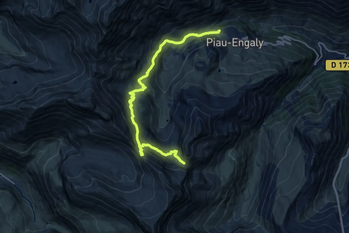
Demanding · Trail
Hourquette de Héas et Hourquette de Chermentas
15.8 km · ↑ 1130 m · 6 h 10 min
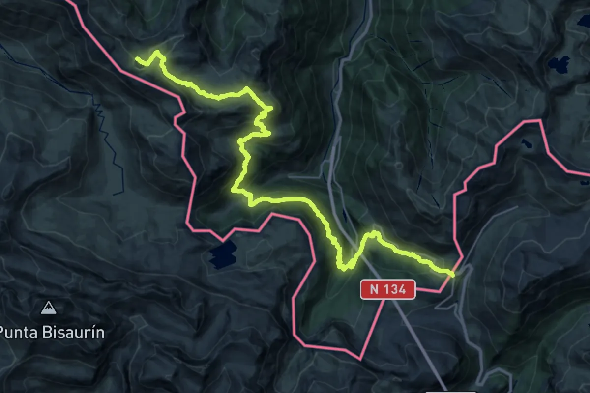
Demanding · Summit
HRP Étape 10
31.8 km · ↑ 1662 m · 11 h 6 min