Trails in France
15,906 hiking trails, each with its route, climb, walking time and grade.
All trails, page 14 of 332
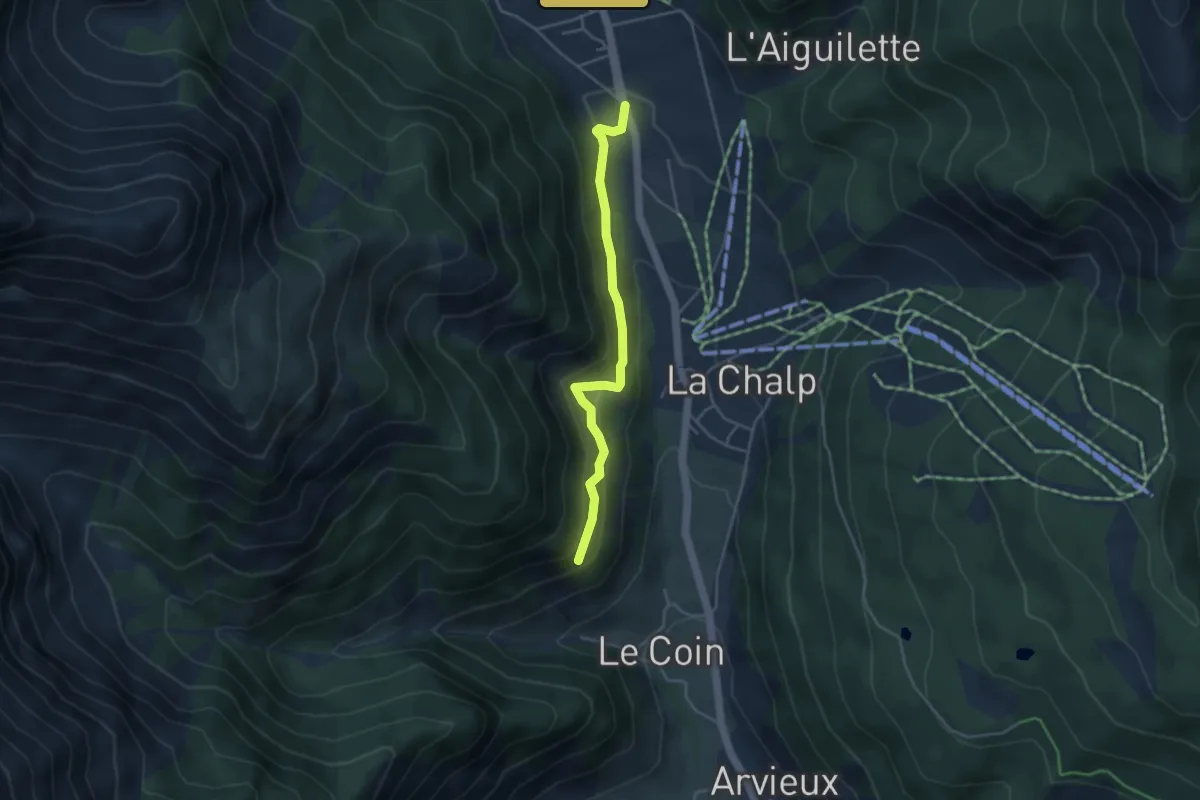
Easy · Trail
Belvédère du Coin - Brunissard L'Ardouine
3.9 km · ↑ 203 m · 1 h 22 min
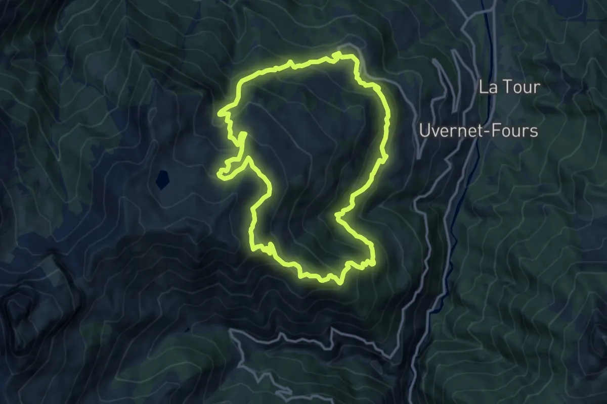
Demanding · Summit
Belvédère du Fau
12.5 km · ↑ 843 m · 4 h 58 min
Easy · Trail
Belvédère du Gratteris
5.6 km · ↑ 112 m · 1 h 38 min
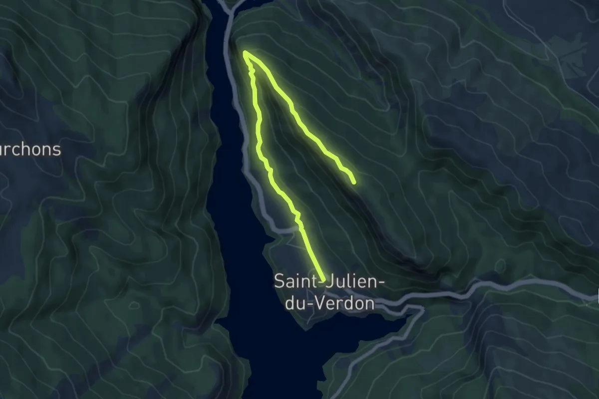
Easy · Trail
Belvédère du Pidanoux
3.7 km · ↑ 304 m · 1 h 27 min
Medium · Trail
Belvédère Edgar Faure
8.8 km · ↑ 331 m · 2 h 47 min
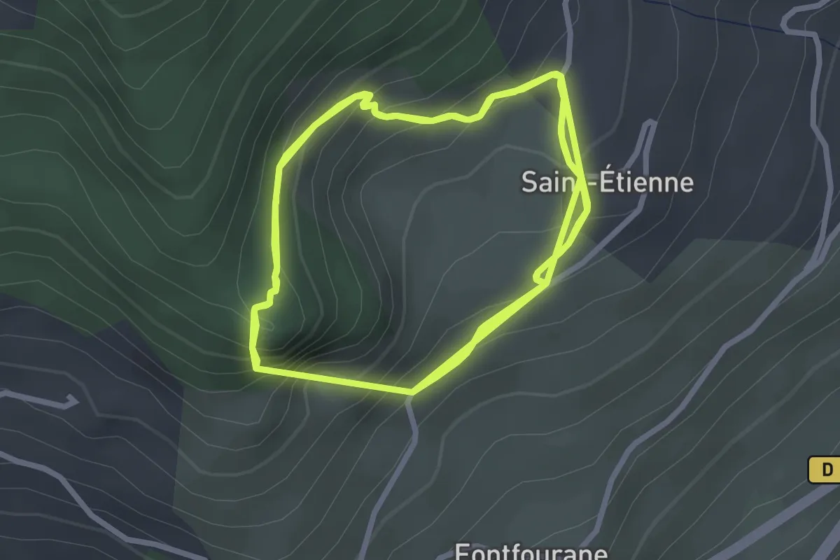
Medium · Trail
Belvédère Roche Rousse
4.4 km · ↑ 368 m · 1 h 51 min
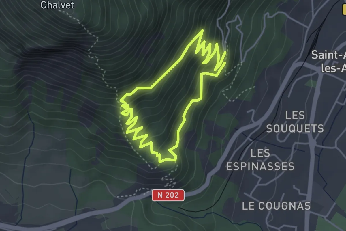
Easy · Trail
Belvédères de la Dindière
3.7 km · ↑ 264 m · 1 h 30 min
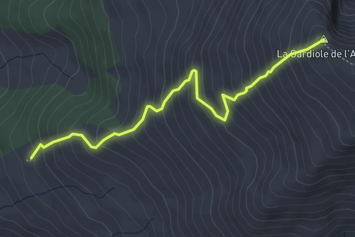
Medium · Summit
Bergerie de l'Alp - La Gardiole de l'Alp
4.7 km · ↑ 575 m · 2 h 22 min
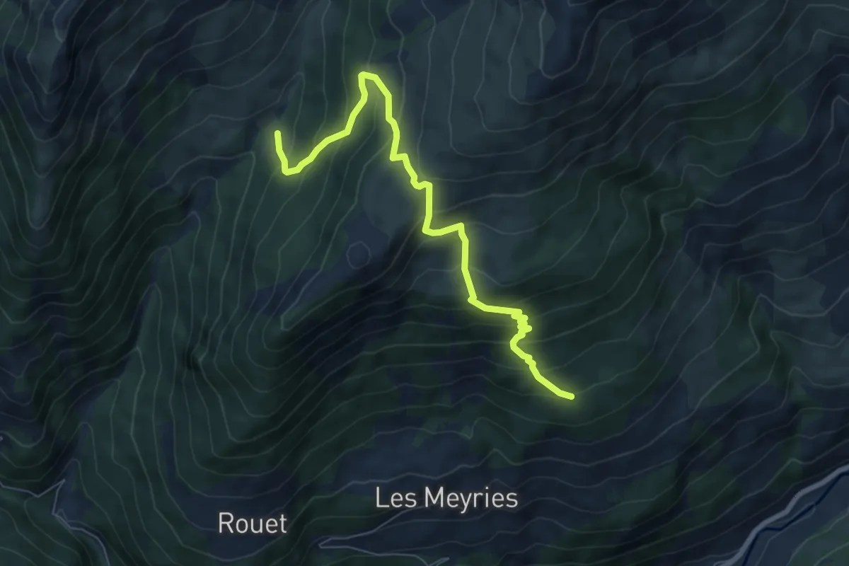
Medium · Trail
Bergerie de Péas - Platenq La Charpenelle
7.6 km · ↑ 660 m · 3 h 13 min
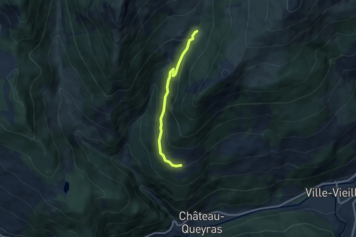
Easy · Trail
Bergerie de Péas - Rouet
5.4 km · ↑ 303 m · 1 h 57 min
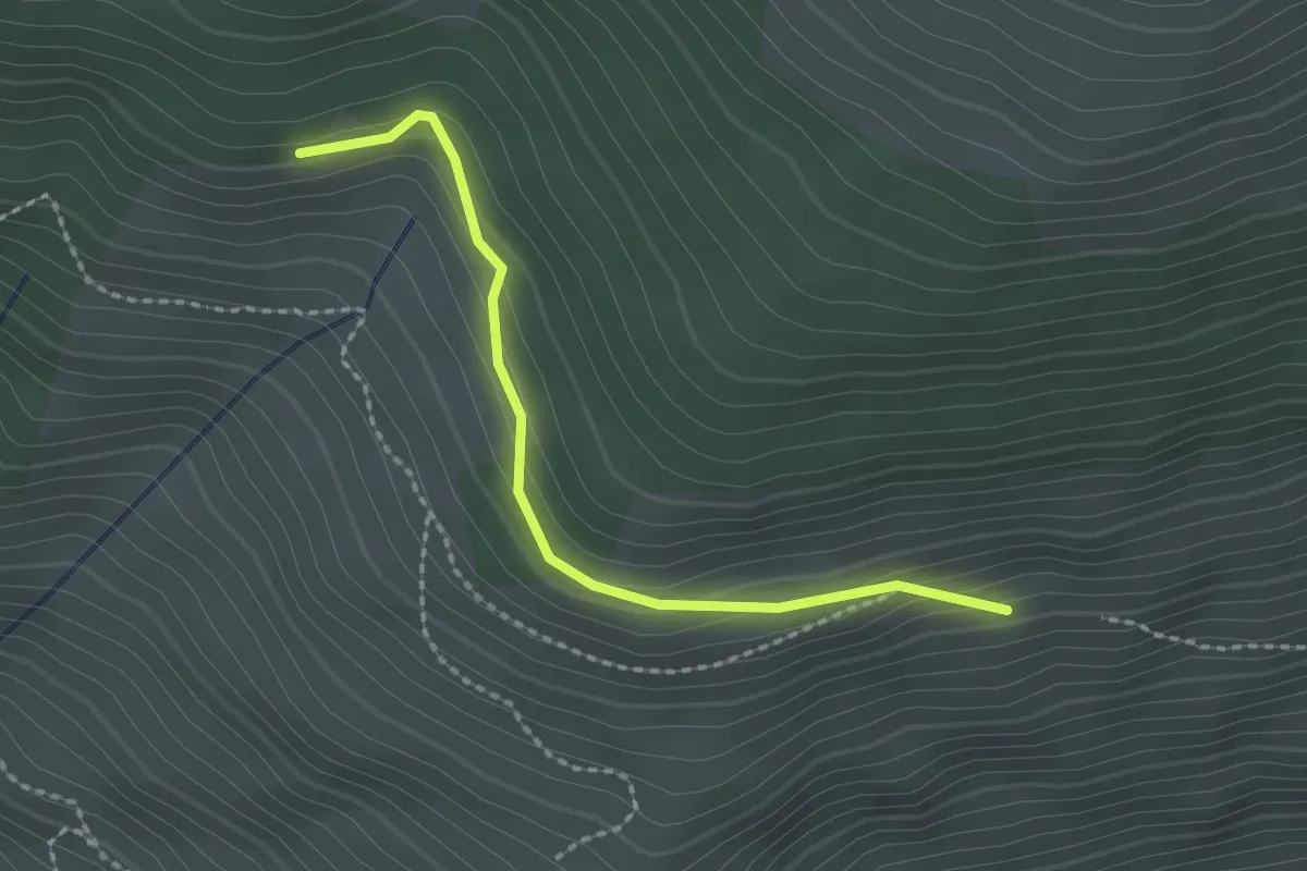
Easy · Trail
Bergerie des Salins - Le Châtellard
2.1 km · ↑ 104 m · 44 min
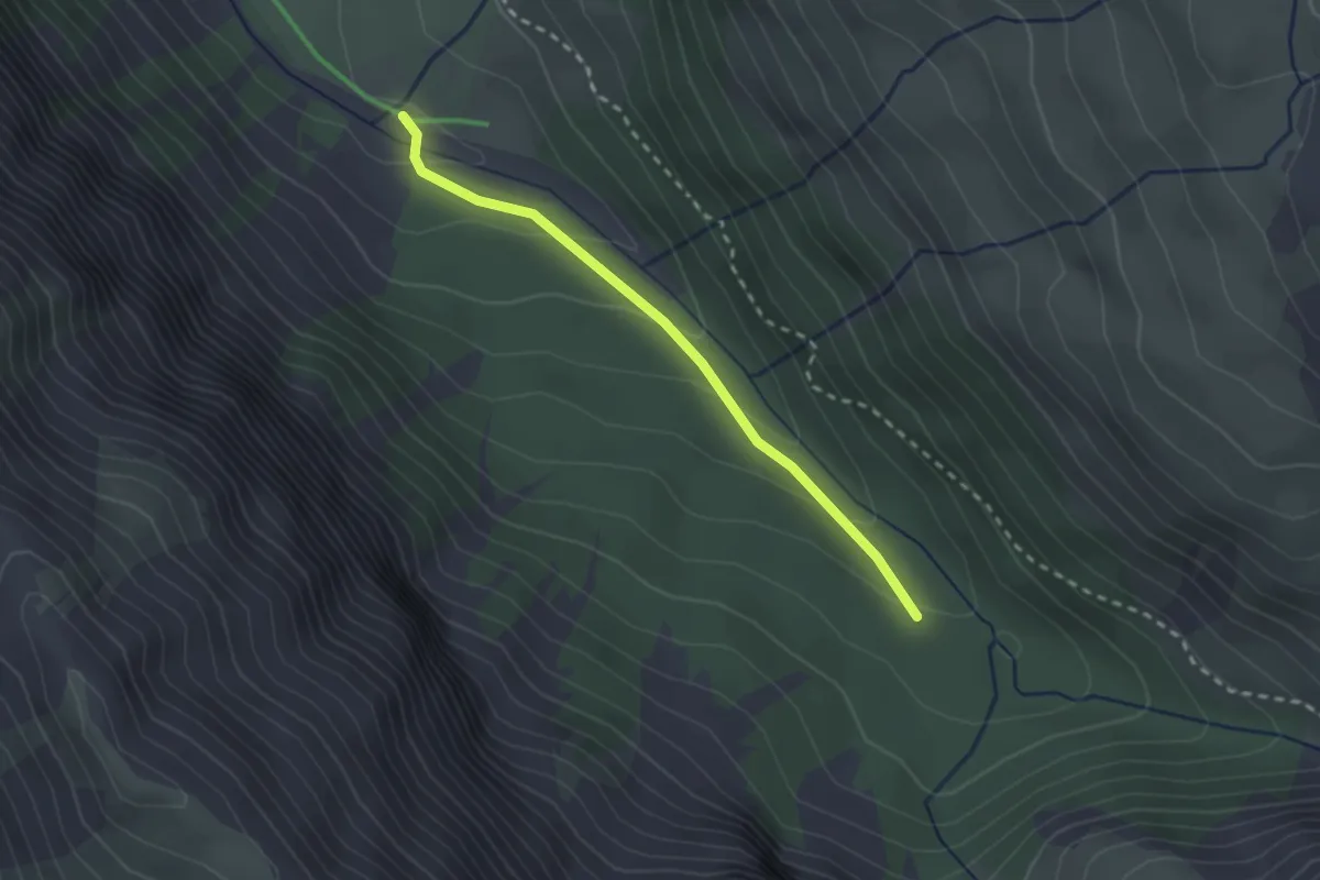
Easy · Trail
Bergerie du Bois Noir - Cabane de la Lavine
2.3 km · ↑ 97 m · 46 min
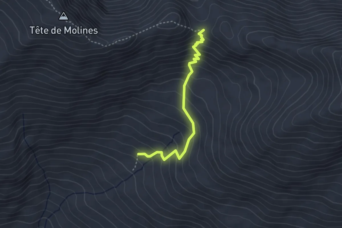
Medium · Trail
Bergerie du Clot du Loup - Col du Clot du Loup
3.2 km · ↑ 311 m · 1 h 25 min
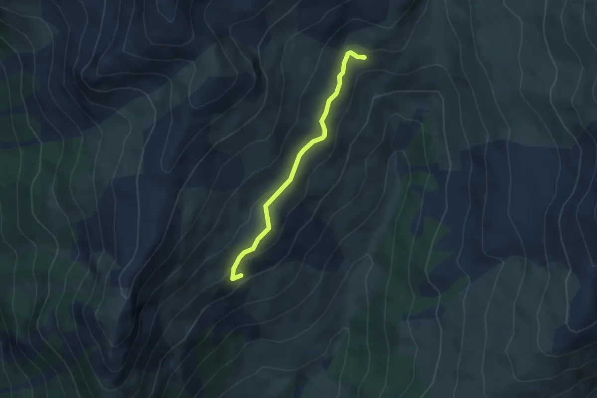
Medium · Trail
Bergerie Haute de Péas - La Cuche
3.5 km · ↑ 122 m · 1 h 6 min
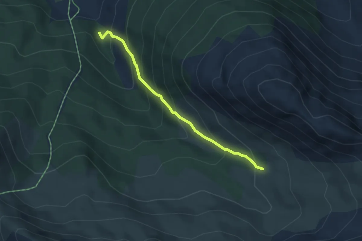
Medium · Trail
Bergerie sous Roche - Torrent d'Urine
3.6 km · ↑ 325 m · 1 h 34 min
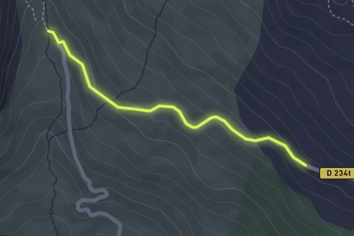
Easy · Trail
Bergerie St Joseph - Les Ruines
3.2 km · ↑ 138 m · 1 h 3 min
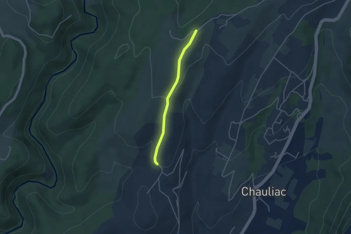
Medium · Trail
Berjou, de haut en bas
15.9 km · ↑ 243 m · 4 h 30 min
Easy · Trail
Berlandier - Les Blachères
2.9 km · ↑ 84 m · 53 min
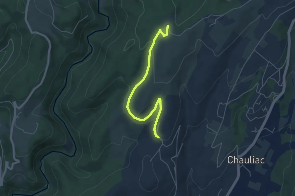
Easy · Trail
Berlandier - Le Taillé
4.9 km · ↑ 101 m · 1 h 23 min
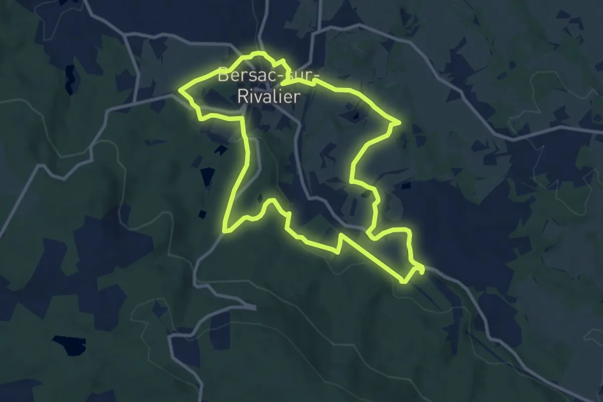
Medium · Summit
Bersac/Le Périgord
9.5 km · ↑ 222 m · 2 h 51 min
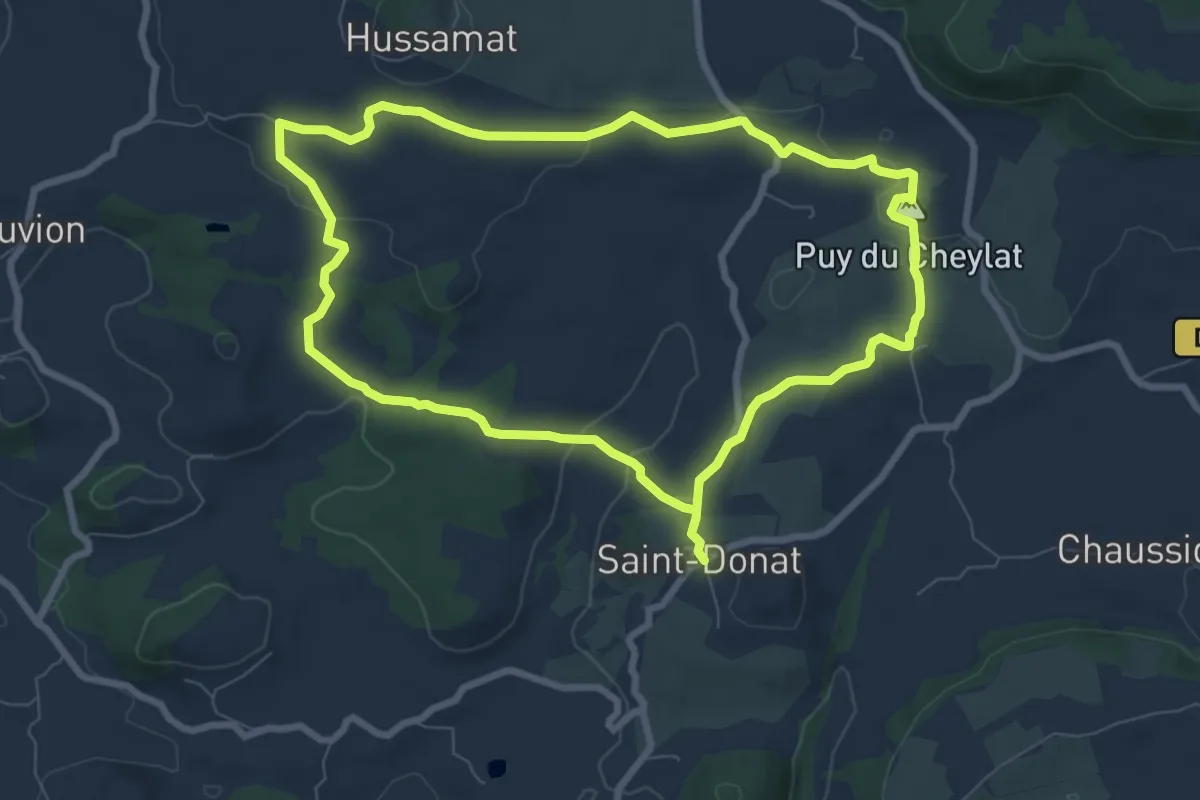
Easy · Summit
Bertinet
7.8 km · ↑ 136 m · 2 h 15 min
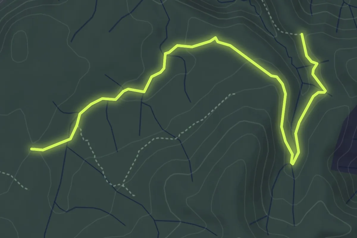
Easy · Trail
Bertras - Combe de Bonne Fille
6.2 km · ↑ 102 m · 1 h 42 min
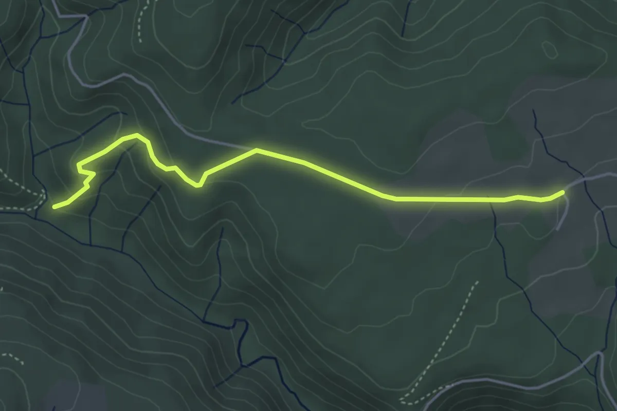
Easy · Trail
Berty - Les Lauzières
4.5 km · ↑ 141 m · 1 h 22 min
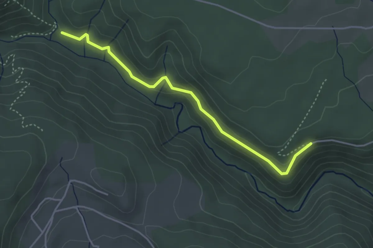
Easy · Trail
Berty - Les Vers
4.0 km · ↑ 82 m · 1 h 7 min
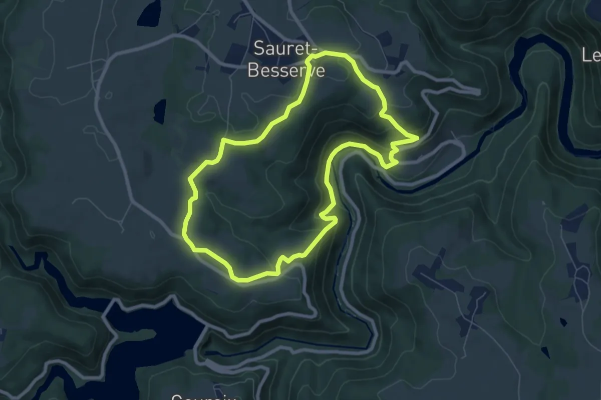
Easy · Trail
Besserve et Sioule
6.7 km · ↑ 283 m · 2 h 18 min
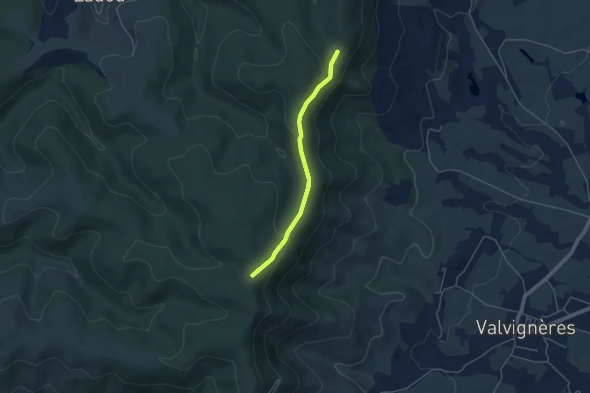
Demanding · Trail
Béthune - Ollain
24.5 km · ↑ 119 m · 6 h 28 min
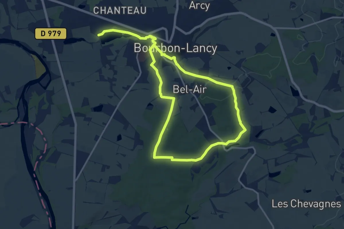
Easy · Trail
Bétoulet - Léouze
3.7 km · ↑ 84 m · 1 h 3 min
Medium · Trail
Beurdin des bois
9.8 km · ↑ 125 m · 2 h 44 min
Easy · Summit
Beuvron
6.0 km · ↑ 125 m · 1 h 46 min
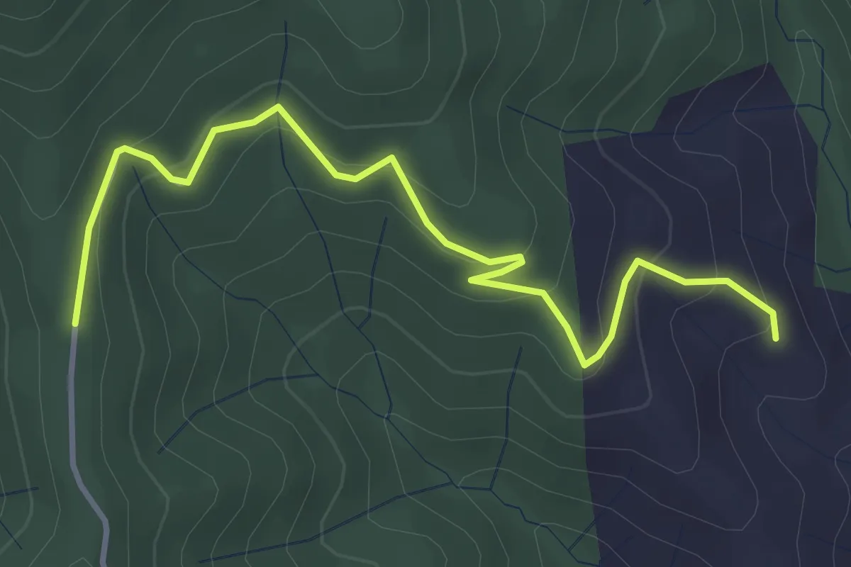
Easy · Trail
Beylon - Pifaut
4.1 km · ↑ 234 m · 1 h 28 min
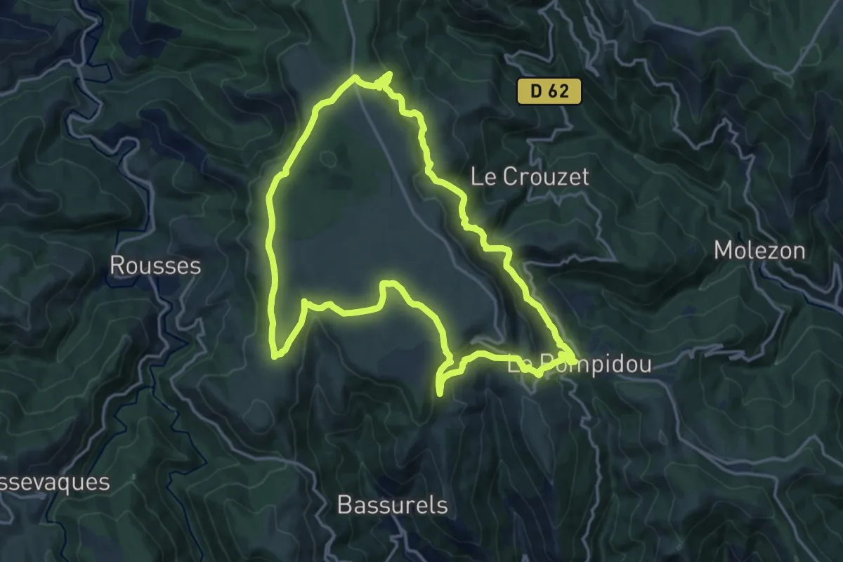
Medium · Trail
Bézuc
16.0 km · ↑ 475 m · 5 h 1 min
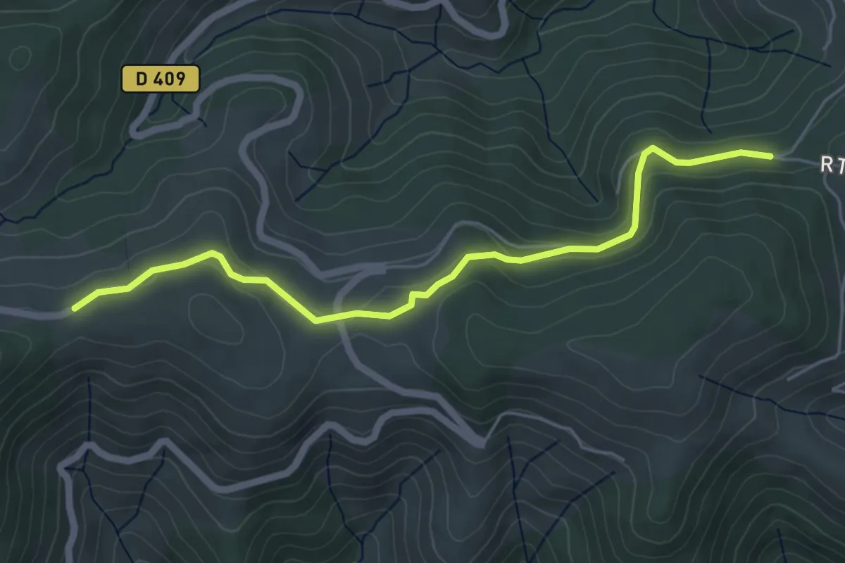
Easy · Trail
Bichou - La Ventouse
5.3 km · ↑ 141 m · 1 h 34 min
Easy · Trail
Big Bining Oak circular hike
5.6 km · ↑ 115 m · 1 h 39 min
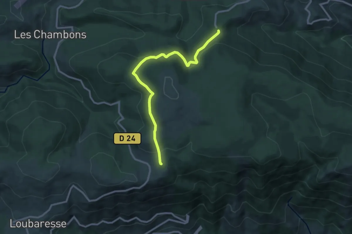
Easy · Trail
Billeterie Station - Col de Meyrand
7.8 km · ↑ 243 m · 2 h 22 min
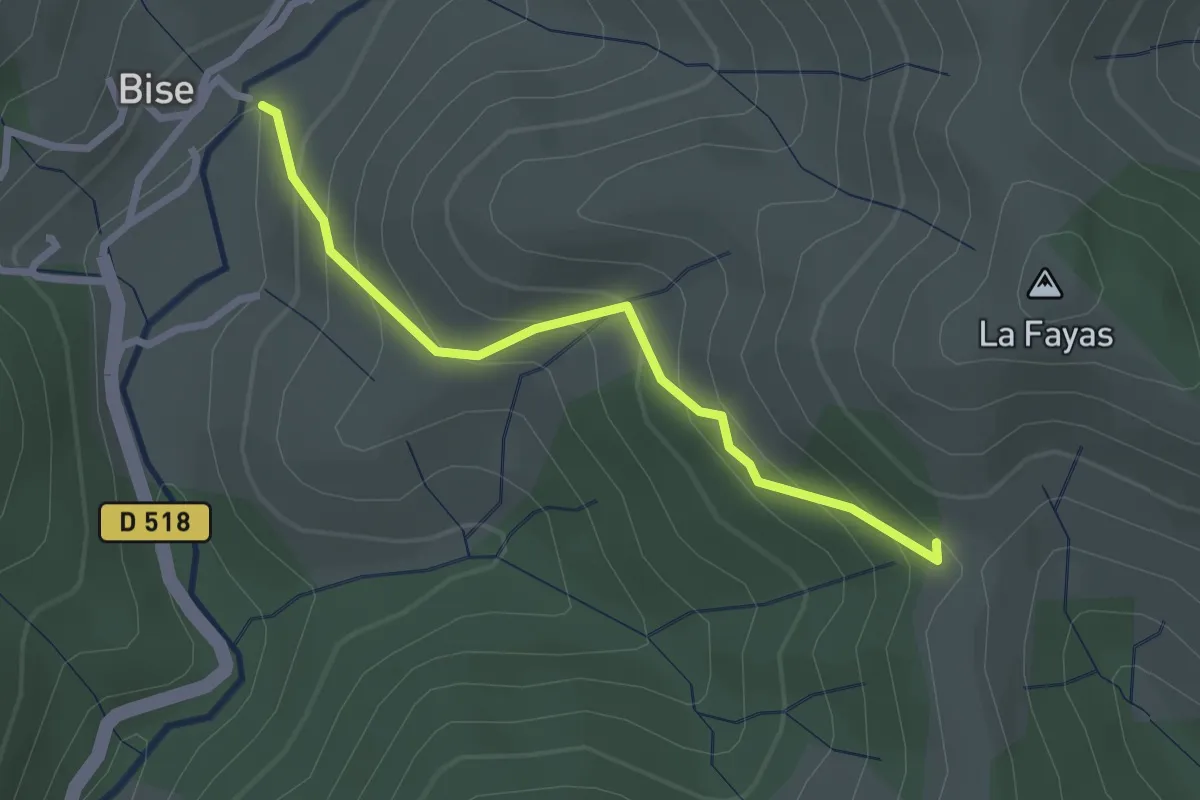
Easy · Trail
Bise - Col des Fraysses
2.5 km · ↑ 209 m · 1 h 3 min
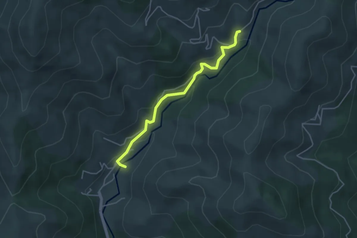
Easy · Trail
Bise - Gamondès
3.5 km · ↑ 186 m · 1 h 14 min
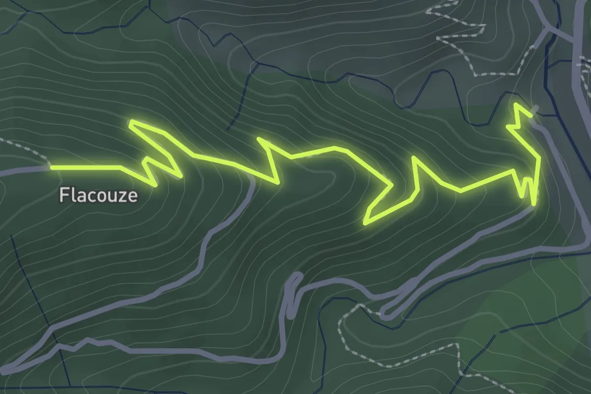
Easy · Trail
Bisourne - Flacouze
3.7 km · ↑ 234 m · 1 h 23 min
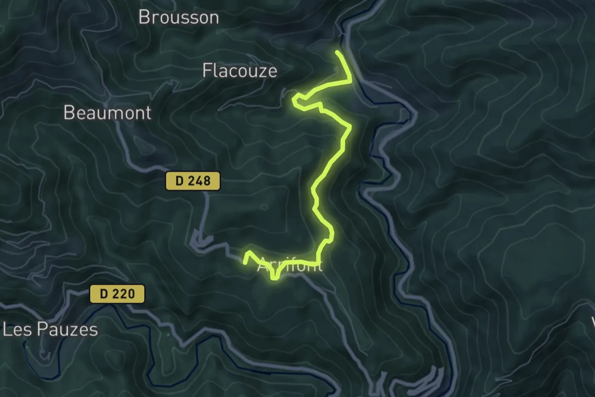
Medium · Trail
Bisourne - L'Abeurador
6.6 km · ↑ 358 m · 2 h 20 min
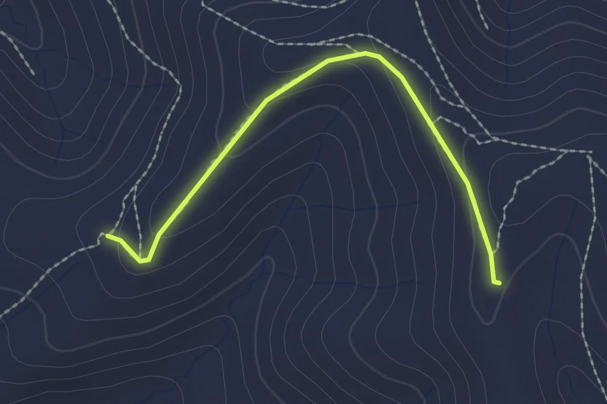
Easy · Trail
Blache de Gros - Terme Noir
2.1 km · ↑ 72 m · 39 min
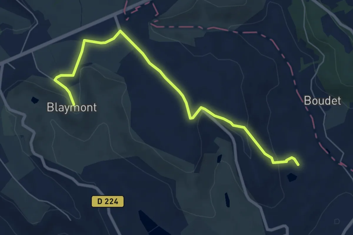
Easy · Trail
Blaymont, avec le pech de Beauville en point de mire - 7,5km
3.3 km · ↑ 95 m · 59 min
Easy · Trail
Bleu
1.3 km · ↑ 4 m · 20 min
Medium · Trail
Blies-Grenz-Weg
14.7 km · ↑ 393 m · 4 h 32 min
Demanding · Trail
Bliessteig - Etappe 1
18.8 km · ↑ 261 m · 5 h
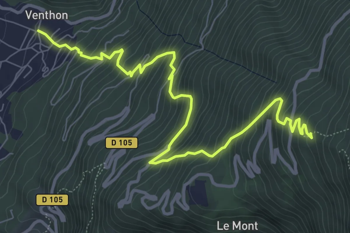
Demanding · Trail
Blockhaus du Laitelet
8.8 km · ↑ 905 m · 4 h 3 min
Easy · Trail
Blue cross
2.4 km · ↑ 110 m · 49 min
Easy · Summit
Blue cross
3.0 km · ↑ 40 m · 47 min
Demanding · Summit
Blue cross
31.2 km · ↑ 774 m · 9 h 3 min
Demanding · Trail
Blue dot
28.2 km · ↑ 597 m · 7 h 57 min