Trails in France
15,926 hiking trails, each with its route, climb, walking time and grade.
All trails, page 145 of 332
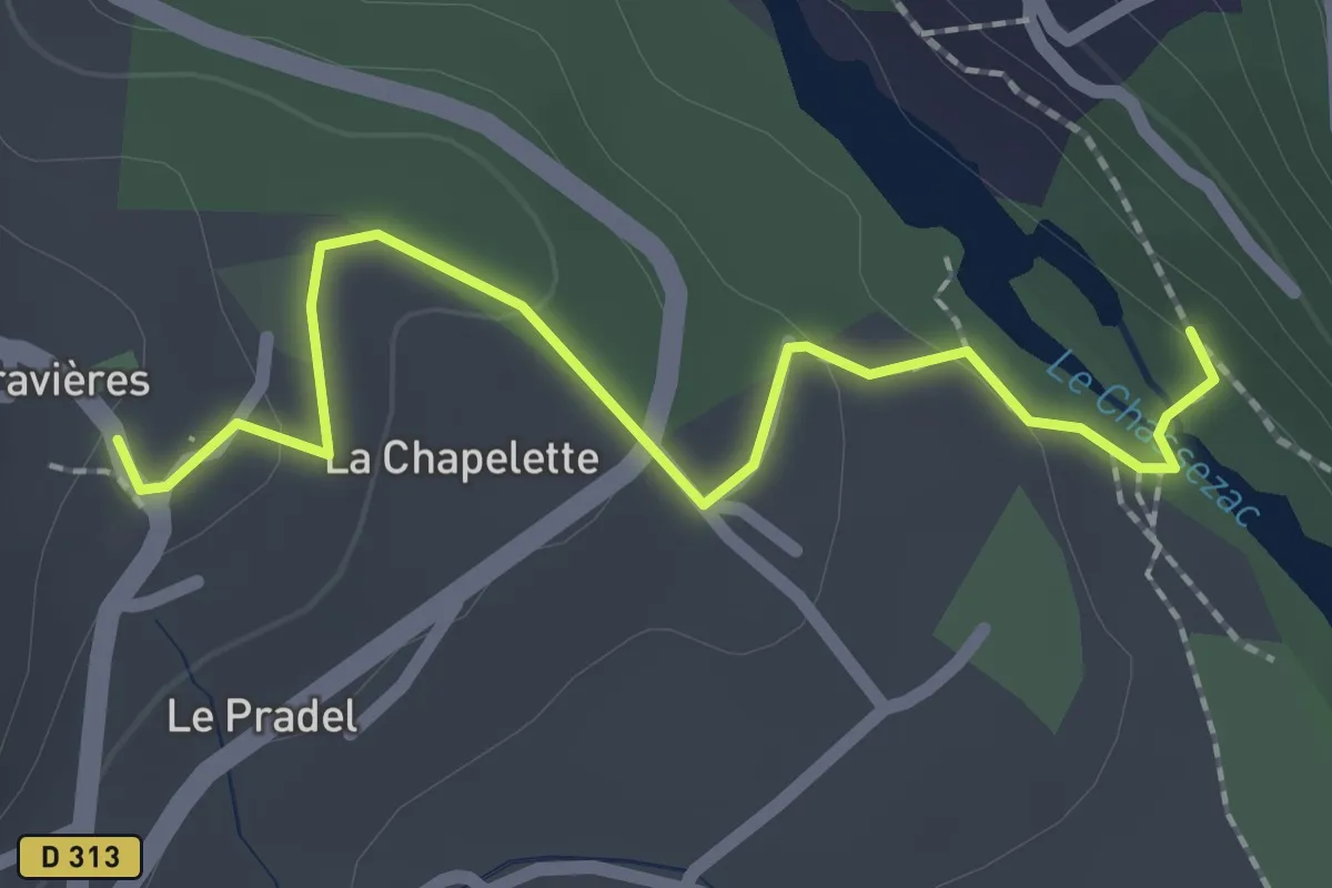
Easy · Trail
La Pontière - Gravières parking
2.4 km · ↑ 67 m · 42 min
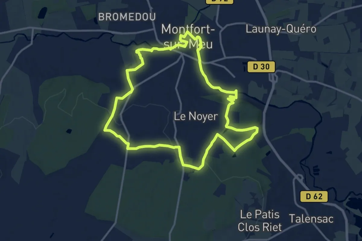
Medium · Trail
La porte de Brocéliande
10.1 km · ↑ 139 m · 2 h 50 min
Medium · Trail
La Porte des Bourdeaux
10.9 km · ↑ 177 m · 3 h 6 min
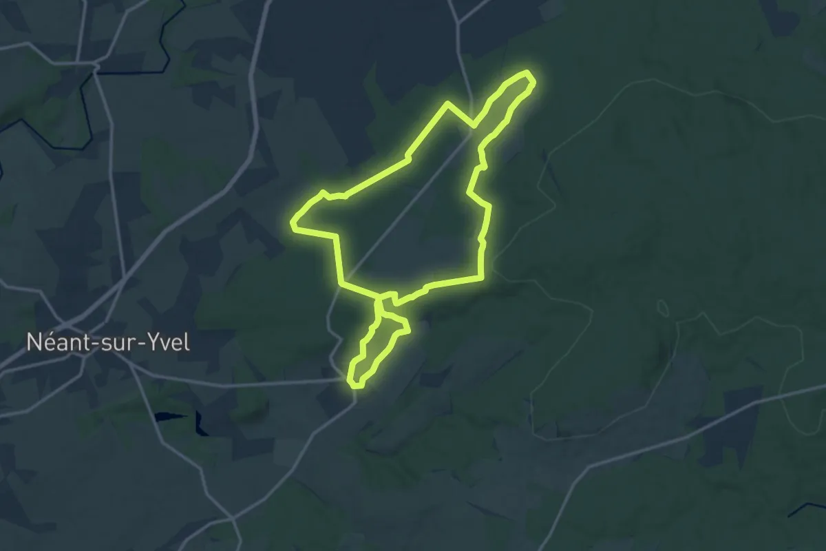
Medium · Trail
La Porte du Ciel
13.1 km · ↑ 162 m · 3 h 38 min
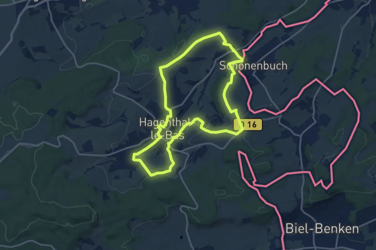
Medium · Trail
La Porte du Sundgau 11Km
10.4 km · ↑ 151 m · 2 h 56 min
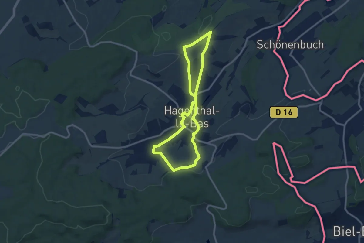
Easy · Trail
La Porte du Sundgau 7 Km
6.7 km · ↑ 79 m · 1 h 51 min
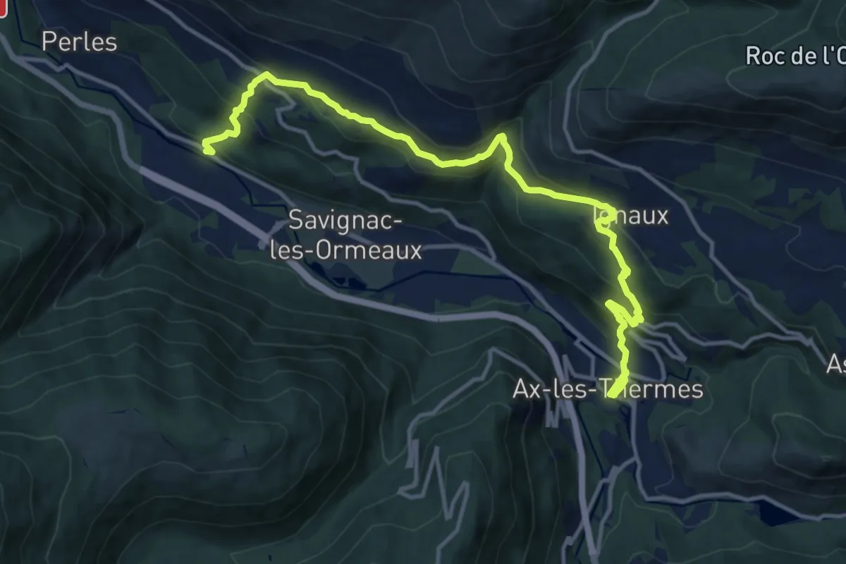
Medium · Trail
La Porteille d'Orgeix
14.6 km · ↑ 778 m · 5 h 8 min
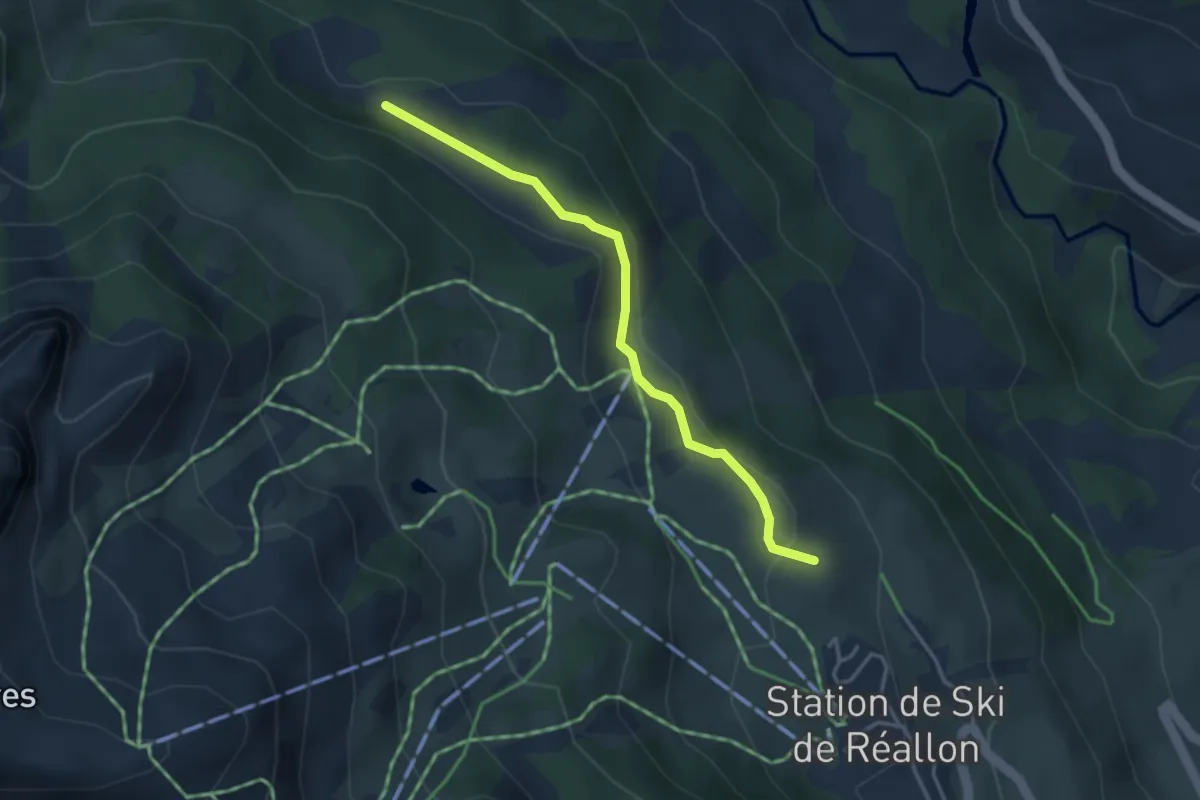
Easy · Trail
La Posette - Réallon Station (Est)
3.5 km · ↑ 108 m · 1 h 3 min
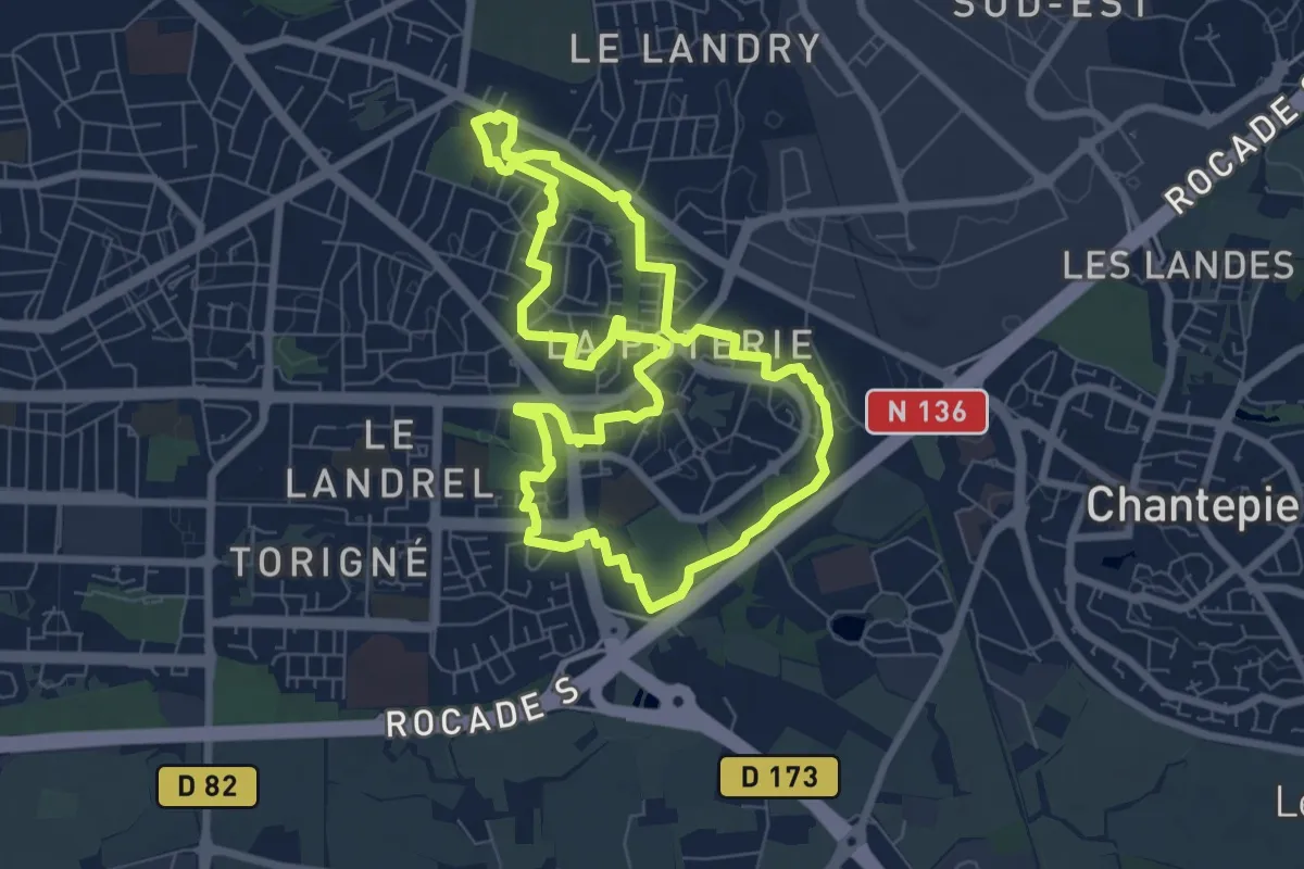
Easy · Trail
La Poterie
7.1 km · ↑ 41 m · 1 h 51 min
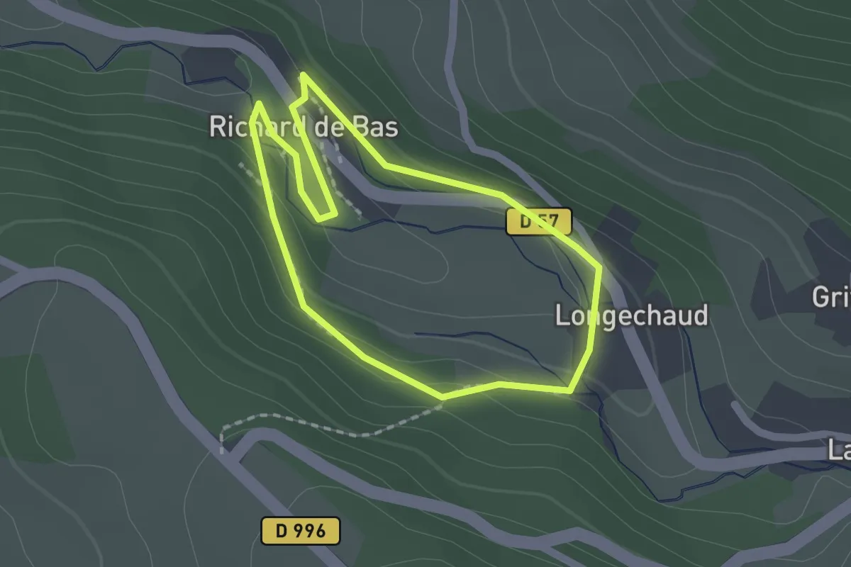
Easy · Trail
L'Apprenti du Moulin
1.6 km · ↑ 48 m · 30 min
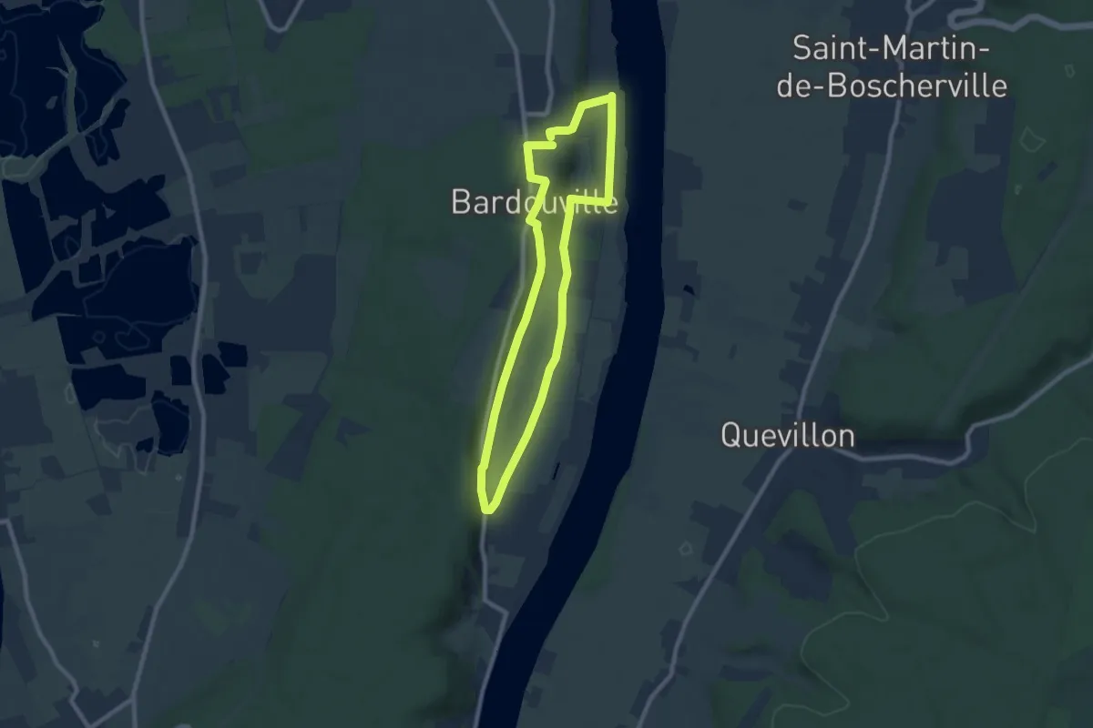
Easy · Trail
La Prairie du But
7.2 km · ↑ 105 m · 2 h 2 min
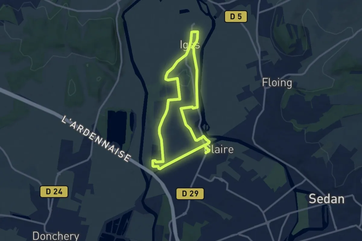
Easy · Trail
La Presqu’île d’Iges
7.9 km · ↑ 91 m · 2 h 11 min
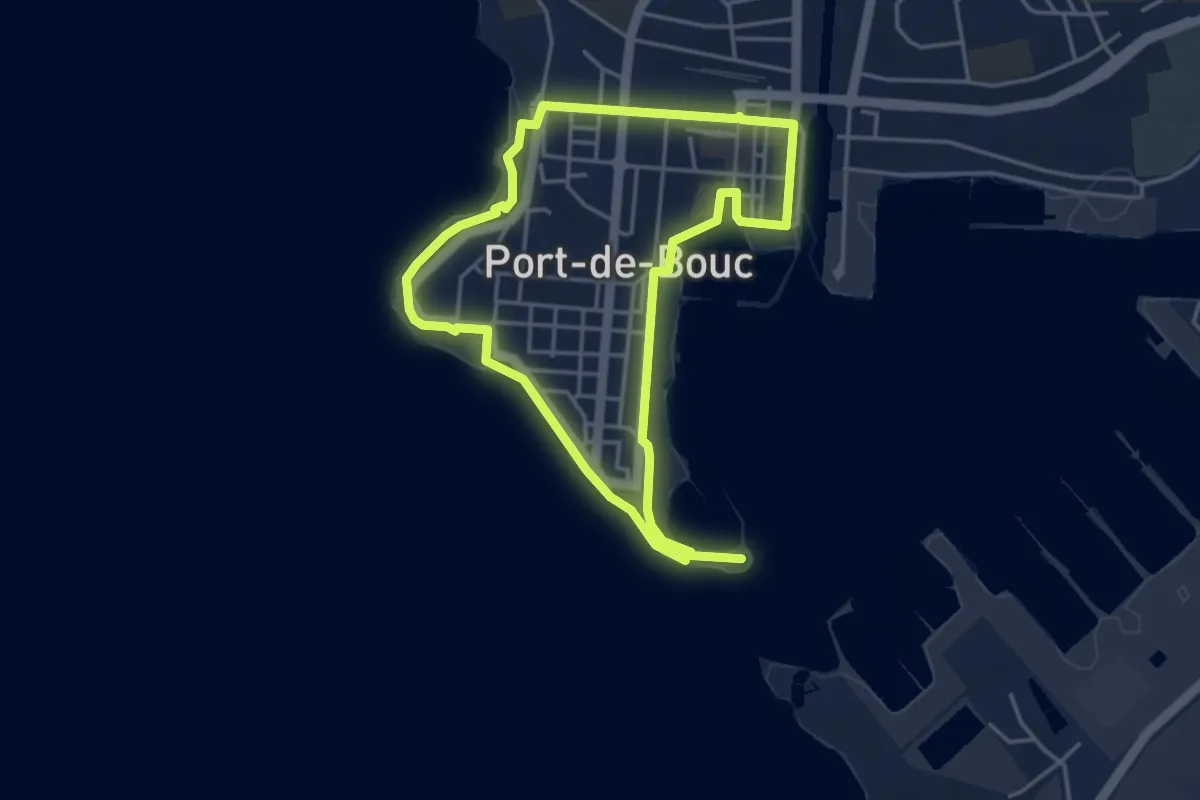
Easy · Trail
La Presqu’ile - Le sentier du littoral
4.1 km · ↑ 24 m · 1 h 5 min
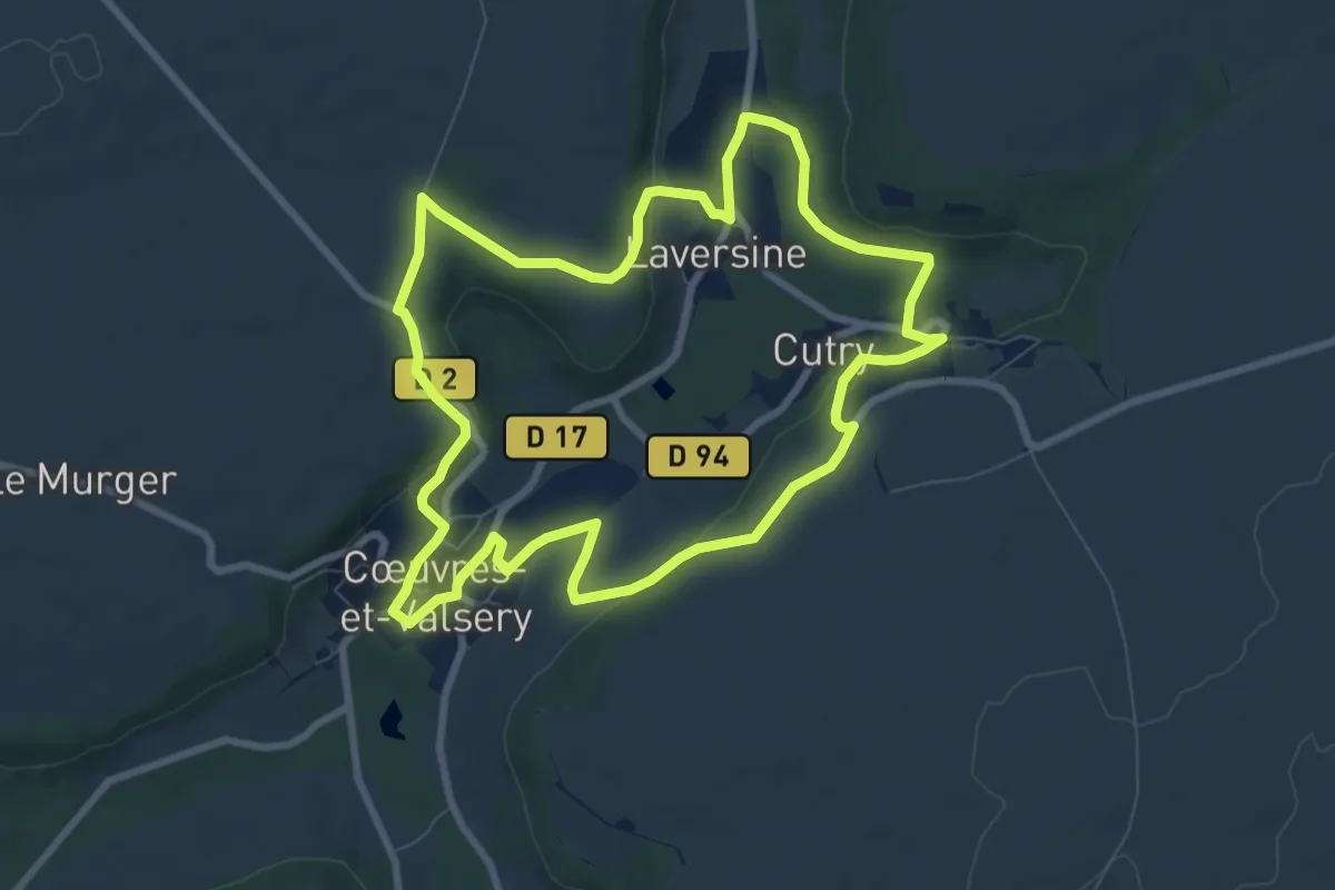
Medium · Trail
La Promenade de Gabrielle
8.1 km · ↑ 145 m · 2 h 20 min
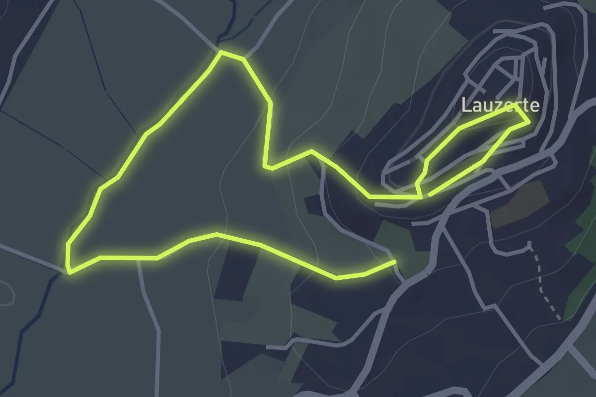
Easy · Trail
La promenade de l'eau et des fontaines
2.9 km · ↑ 87 m · 56 min
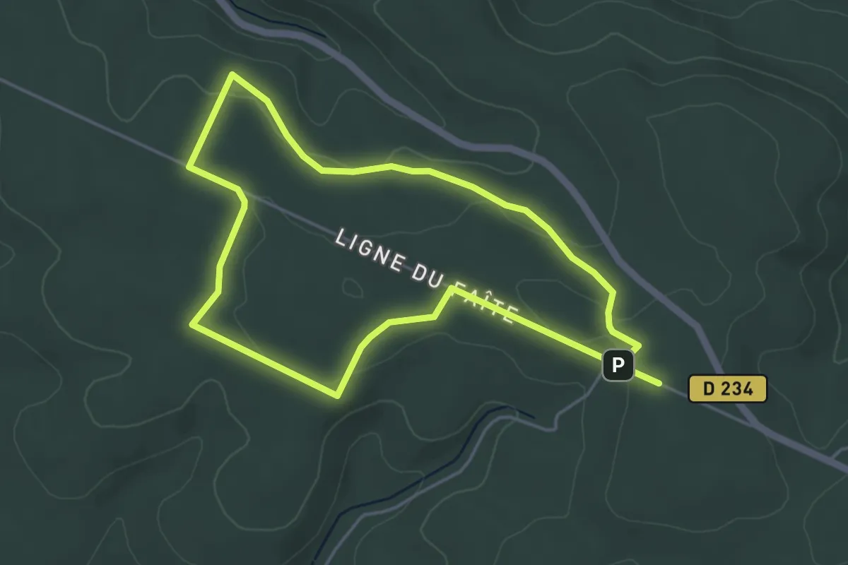
Easy · Summit
La Promenade de Perseigne
4.1 km · ↑ 117 m · 1 h 16 min
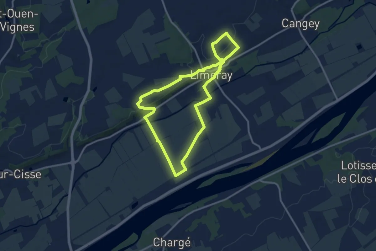
Easy · Trail
La Promenade des Buttelières
7.7 km · ↑ 86 m · 2 h 6 min
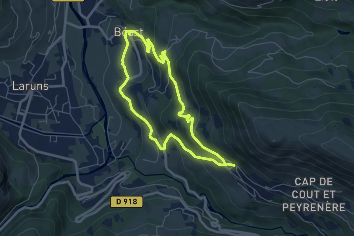
Easy · Trail
La promenade des trois villages
5.1 km · ↑ 305 m · 1 h 56 min
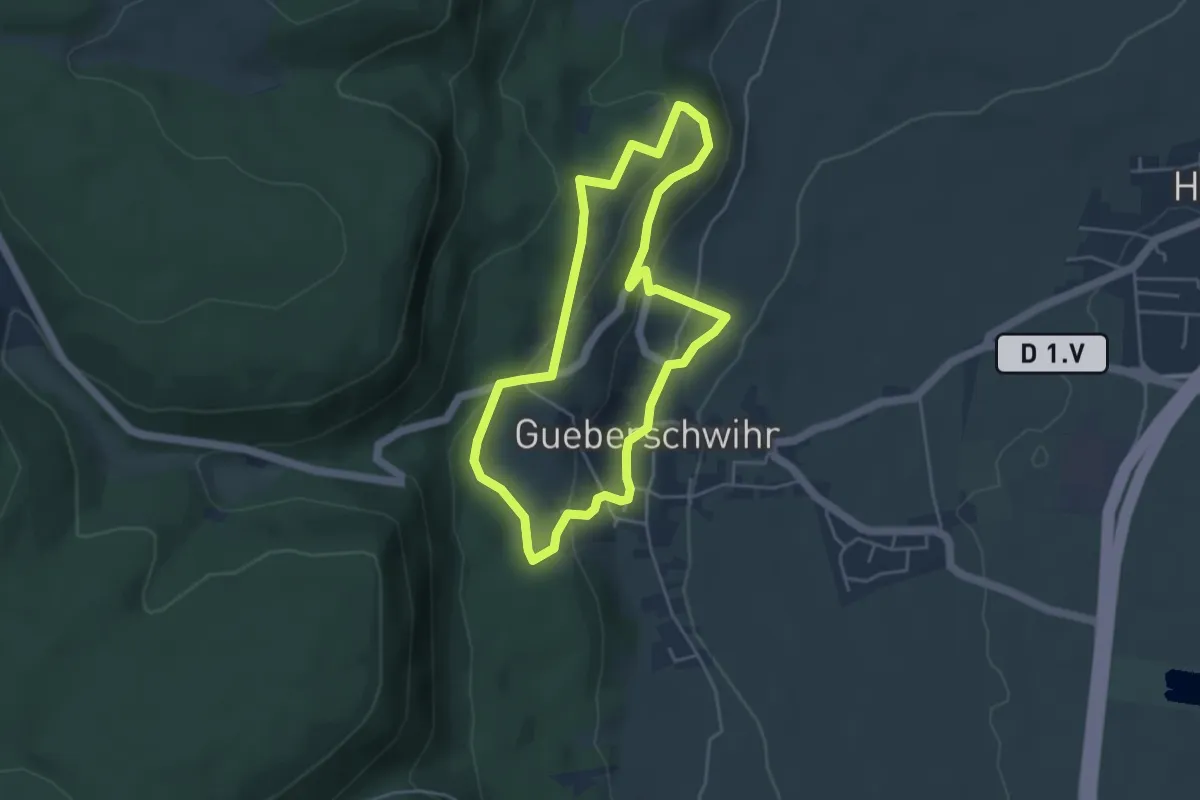
Easy · Trail
La promenade du Grand Cru Goldert
4.0 km · ↑ 157 m · 1 h 20 min
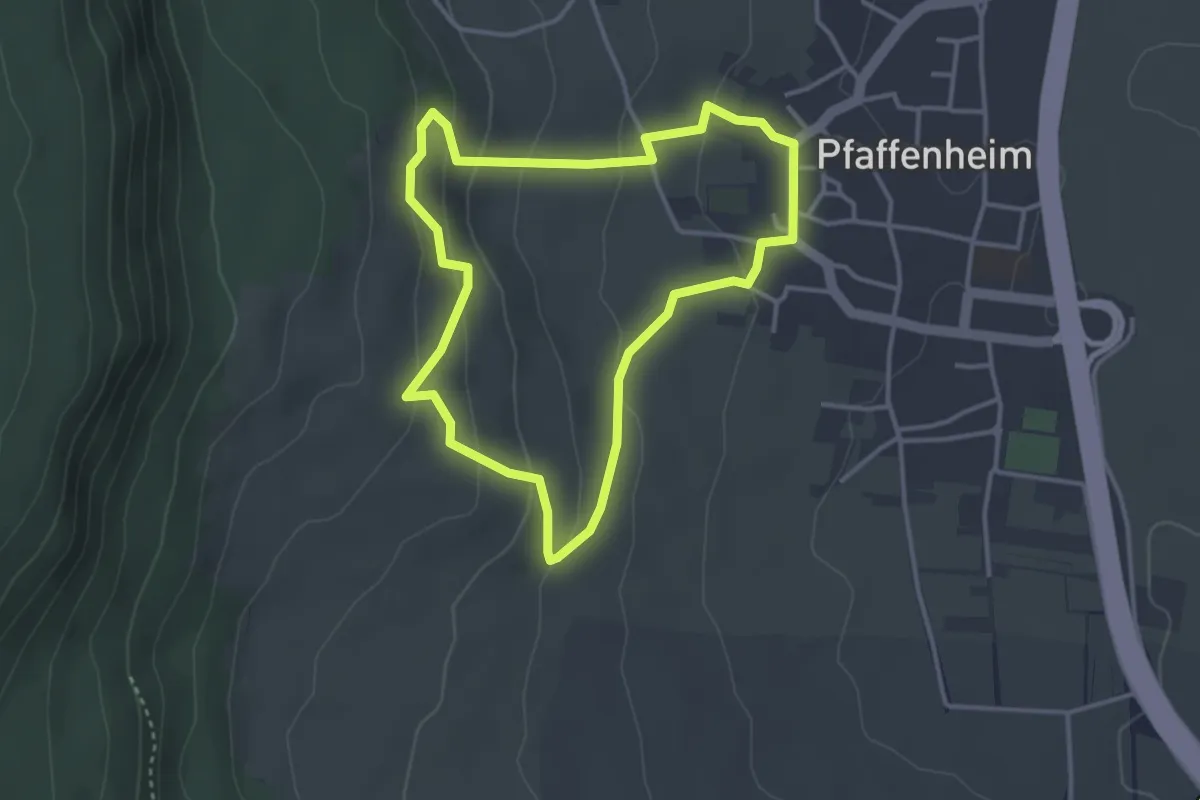
Easy · Trail
La promenade du Grand Cru Steinert
3.2 km · ↑ 139 m · 1 h 6 min
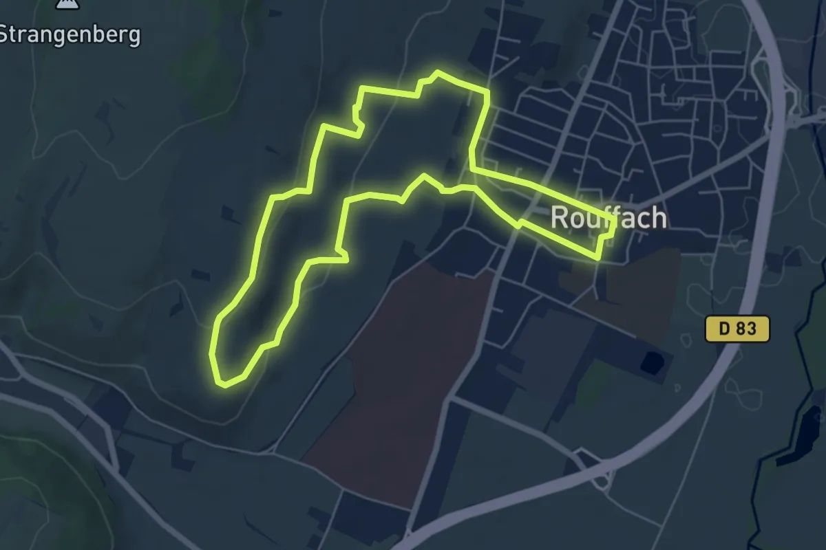
Easy · Trail
La promenade du Grand Cru Vorbourg
5.6 km · ↑ 139 m · 1 h 42 min
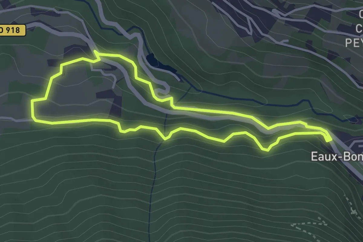
Easy · Trail
La promenade horizontale
3.5 km · ↑ 192 m · 1 h 17 min
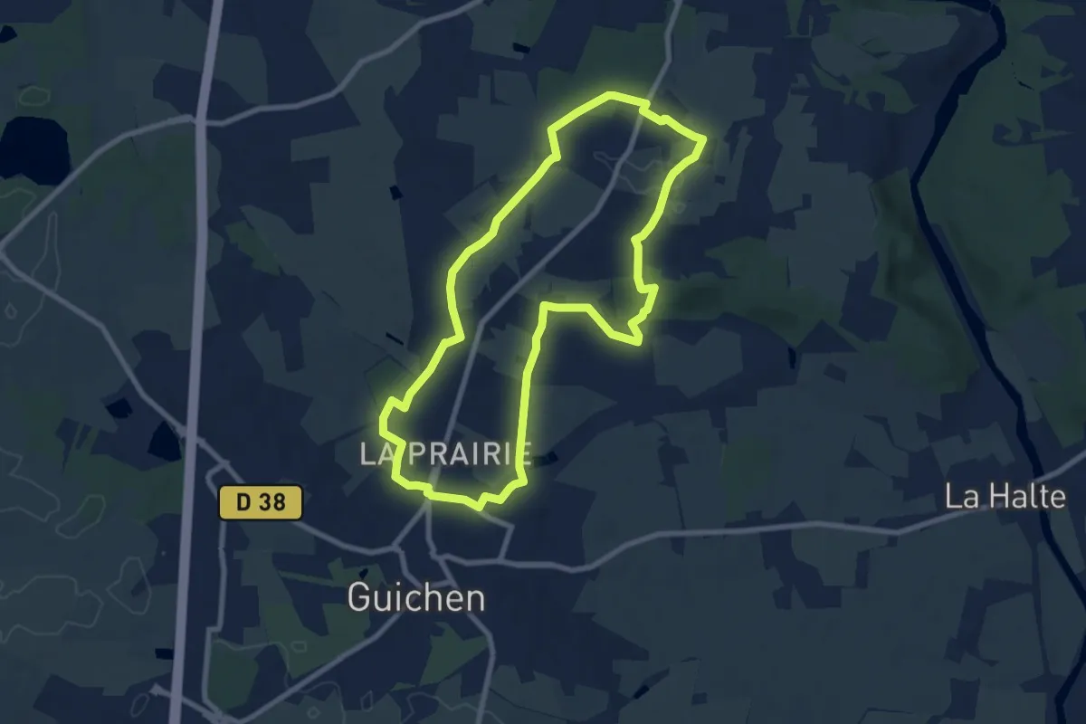
Easy · Trail
La Provostais
7.7 km · ↑ 116 m · 2 h 11 min
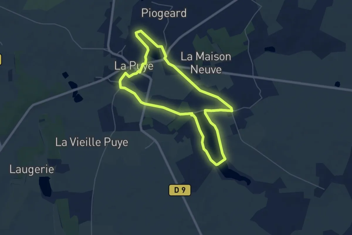
Easy · Trail
La Puye - Circuit Vert
5.4 km · ↑ 48 m · 1 h 27 min
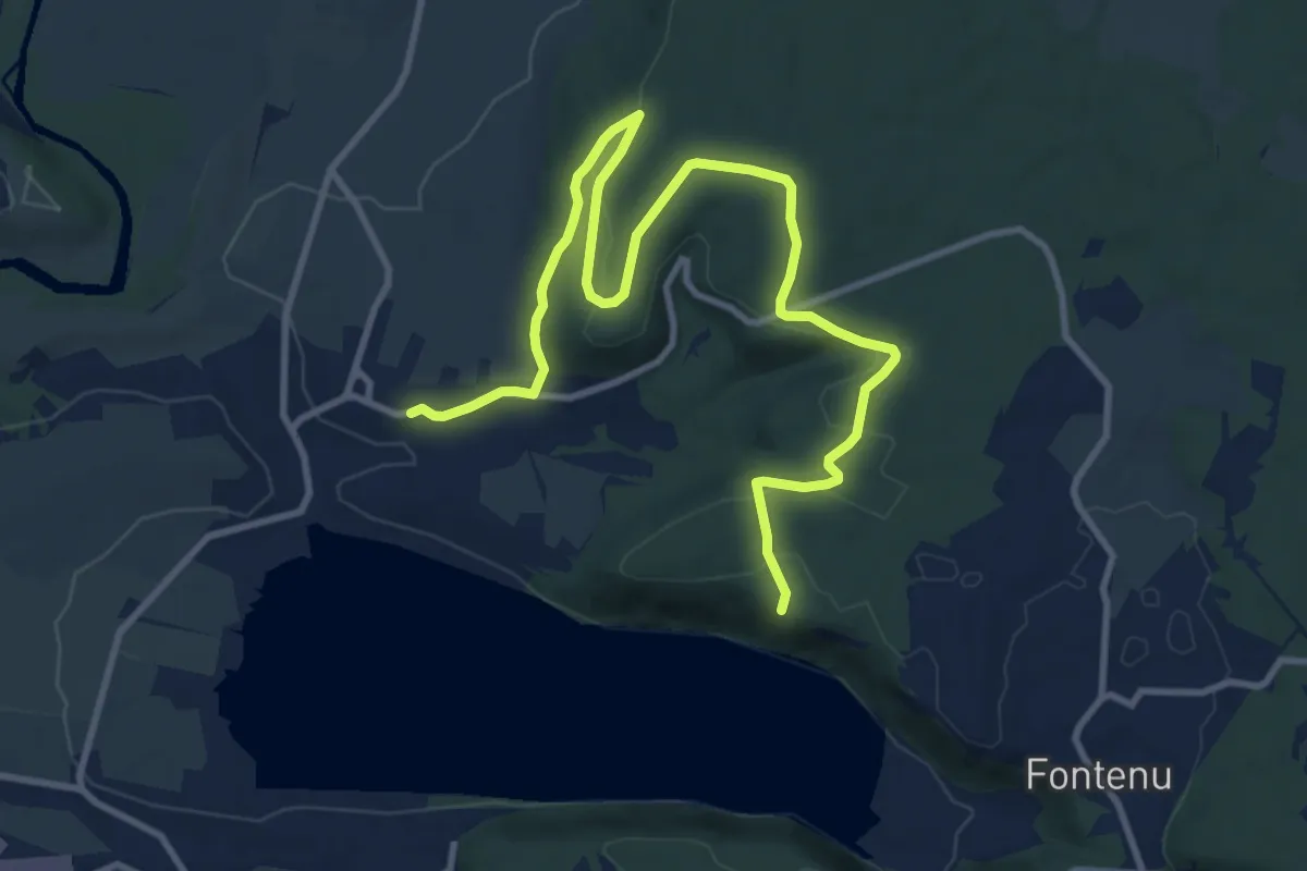
Medium · Trail
La Queille
13.3 km · ↑ 234 m · 3 h 38 min
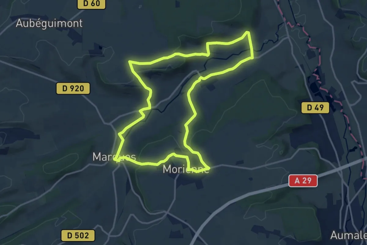
Medium · Trail
La Quesnoye
11.3 km · ↑ 221 m · 3 h 18 min
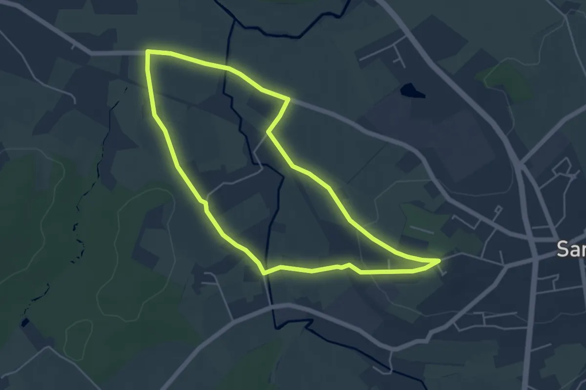
Easy · Trail
La Quevalerie
4.2 km · ↑ 60 m · 1 h 11 min
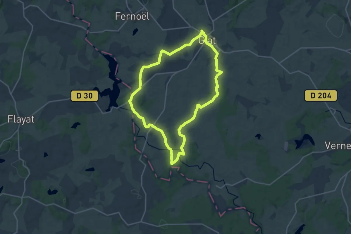
Medium · Trail
La Ramade
13.8 km · ↑ 170 m · 3 h 50 min
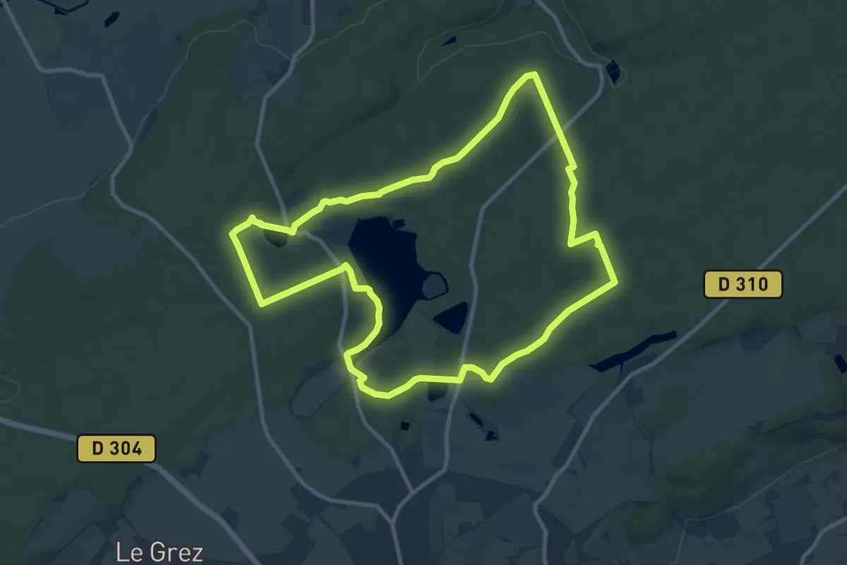
Medium · Trail
La rando des 3 étangs
9.5 km · ↑ 128 m · 2 h 40 min
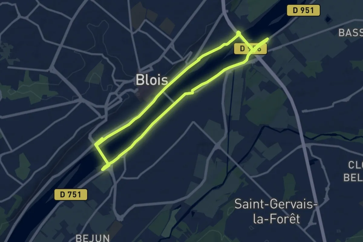
Medium · Trail
La rando des trois ponts de Blois
8.4 km · ↑ 22 m · 2 h 8 min
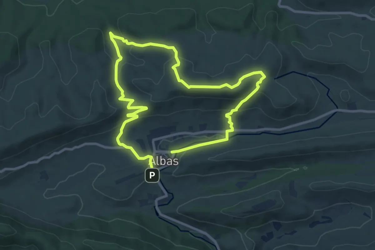
Medium · Trail
La Rando Du Géologue
13.5 km · ↑ 414 m · 4 h 6 min
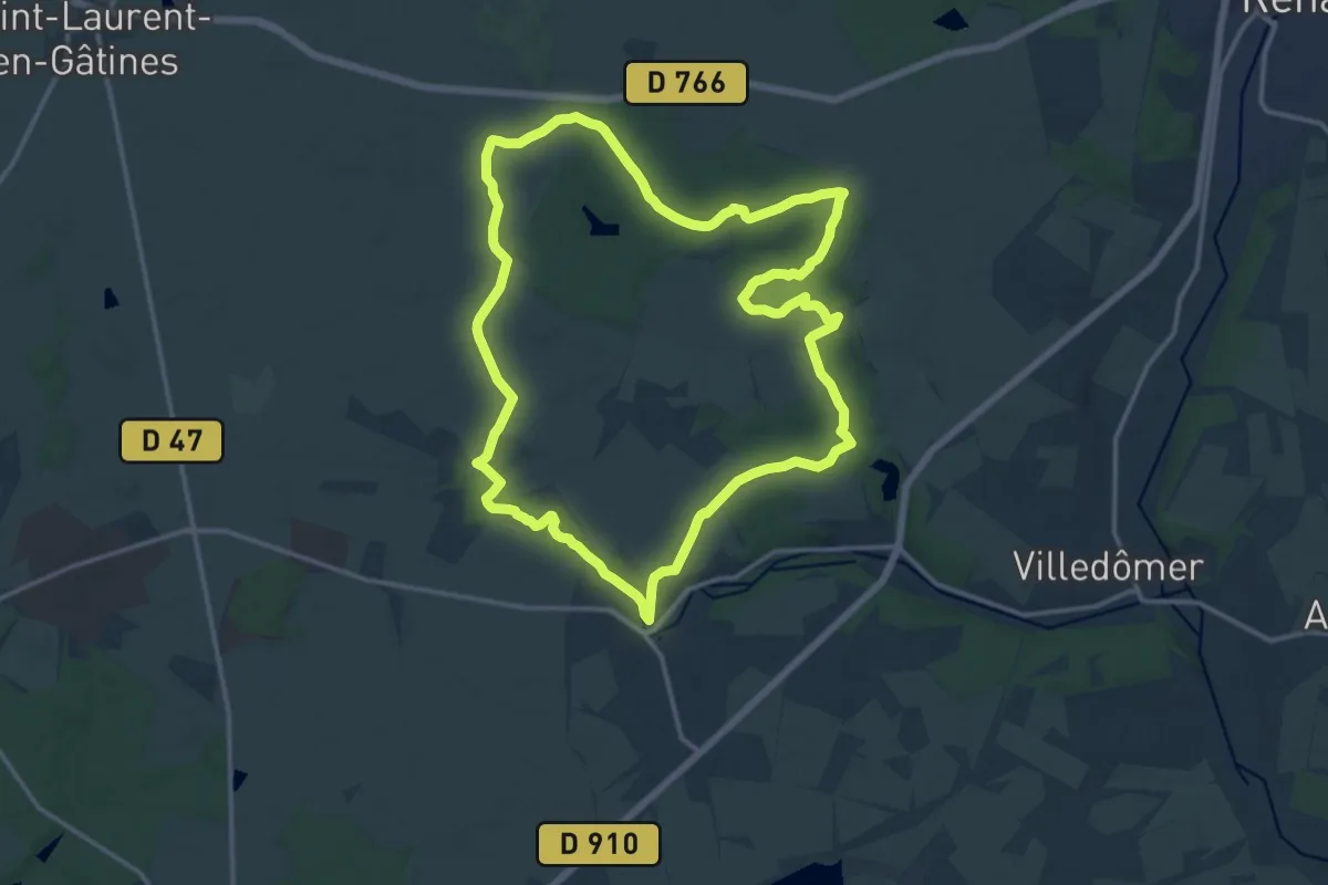
Medium · Trail
La Rando du Madelon - Crotelles
14.7 km · ↑ 132 m · 3 h 57 min
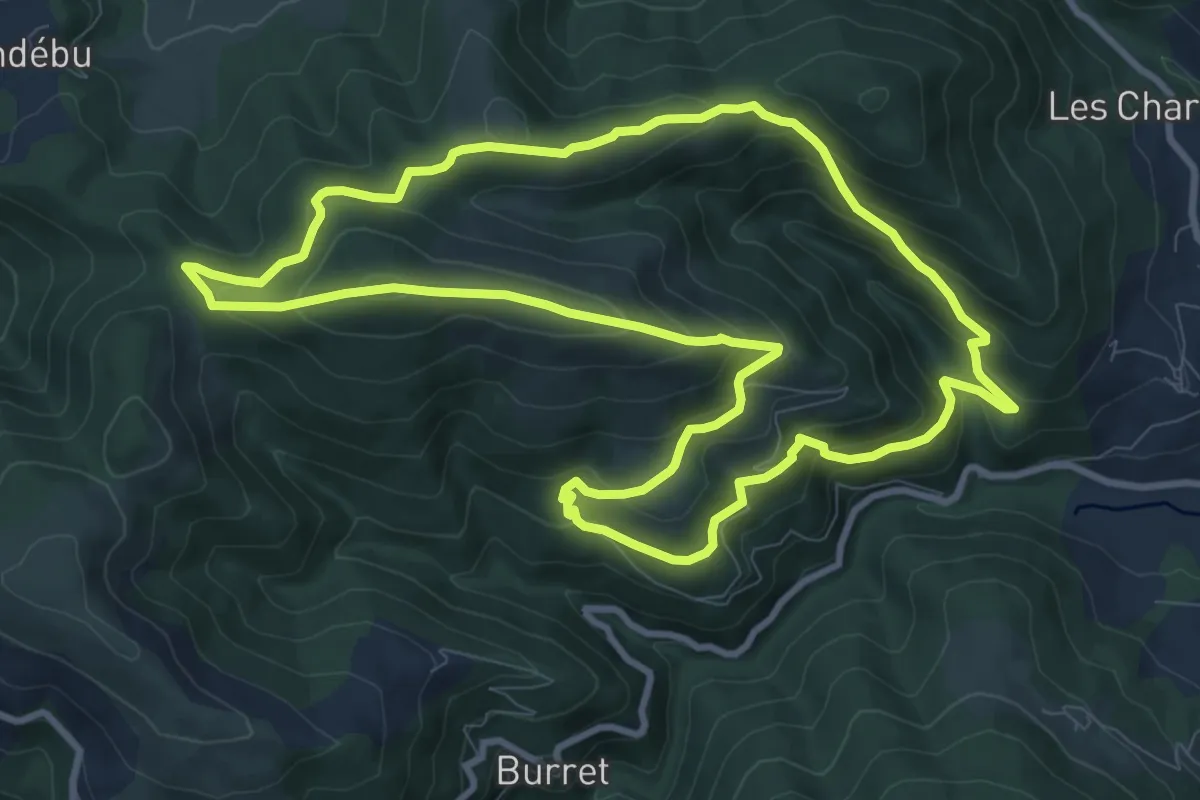
Medium · Trail
La Randonnée de la Grasale
10.8 km · ↑ 551 m · 3 h 54 min
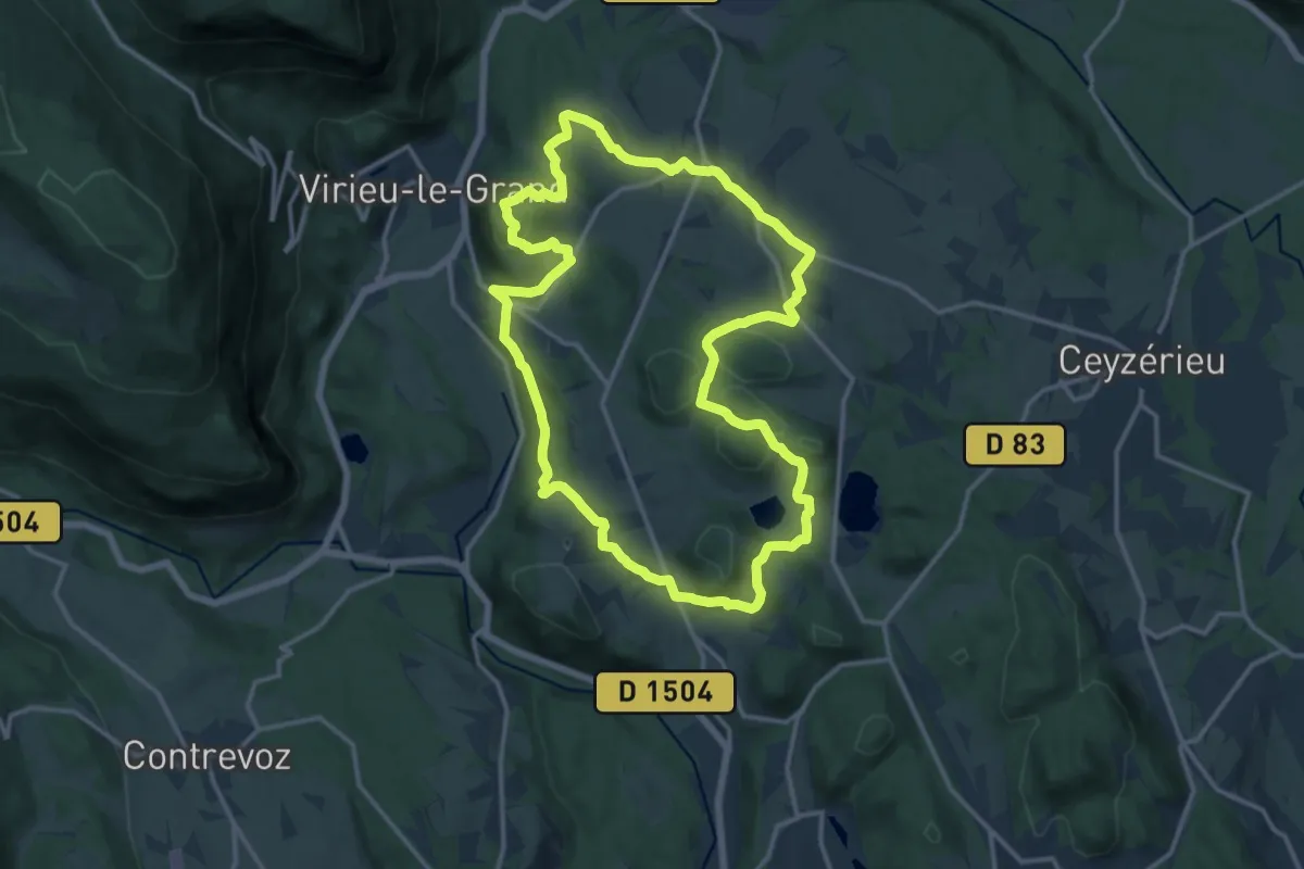
Medium · Trail
La randonnée de la Pierre Grise
14.4 km · ↑ 349 m · 4 h 21 min
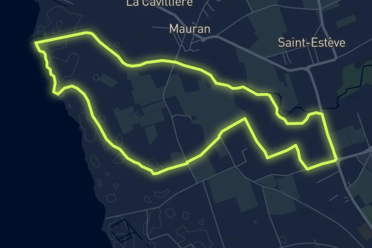
Medium · Trail
La randonnée des amis
9.1 km · ↑ 8 m · 2 h 18 min
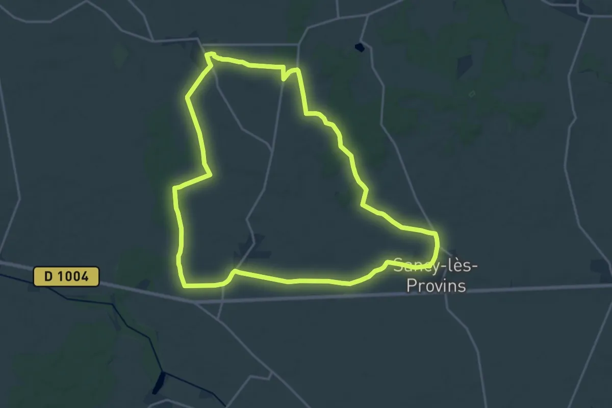
Medium · Trail
La randonnée des amoureux
15.8 km · ↑ 87 m · 4 h 8 min
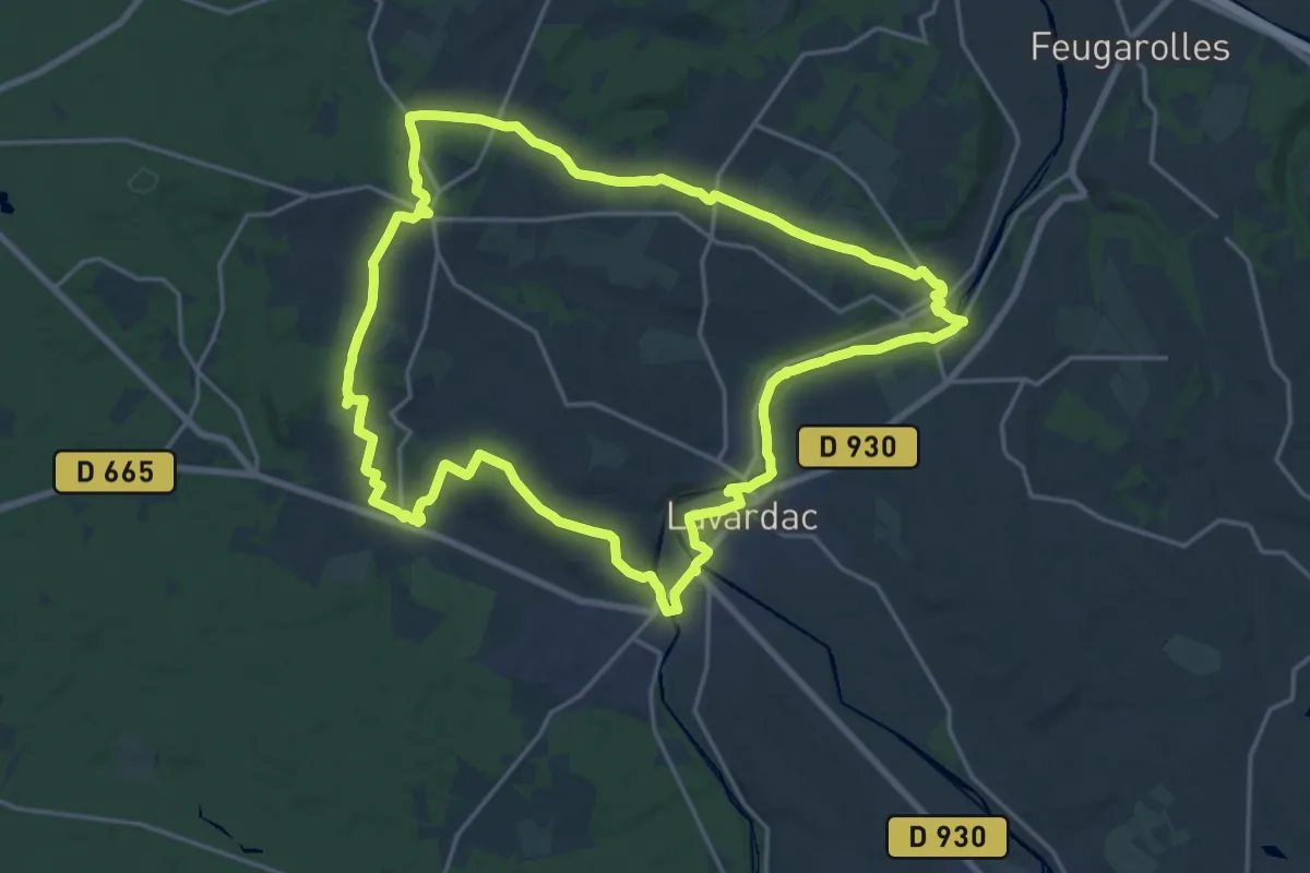
Demanding · Trail
La Randonnée des Bastides et Châteaux en Albret - 21.4 km
21.7 km · ↑ 341 m · 6 h 10 min
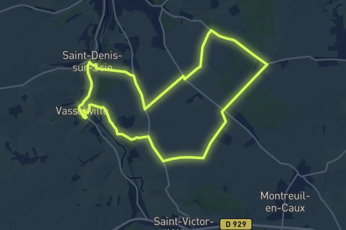
Medium · Trail
L'Arbalète et le Bosmelet
12.4 km · ↑ 104 m · 3 h 19 min
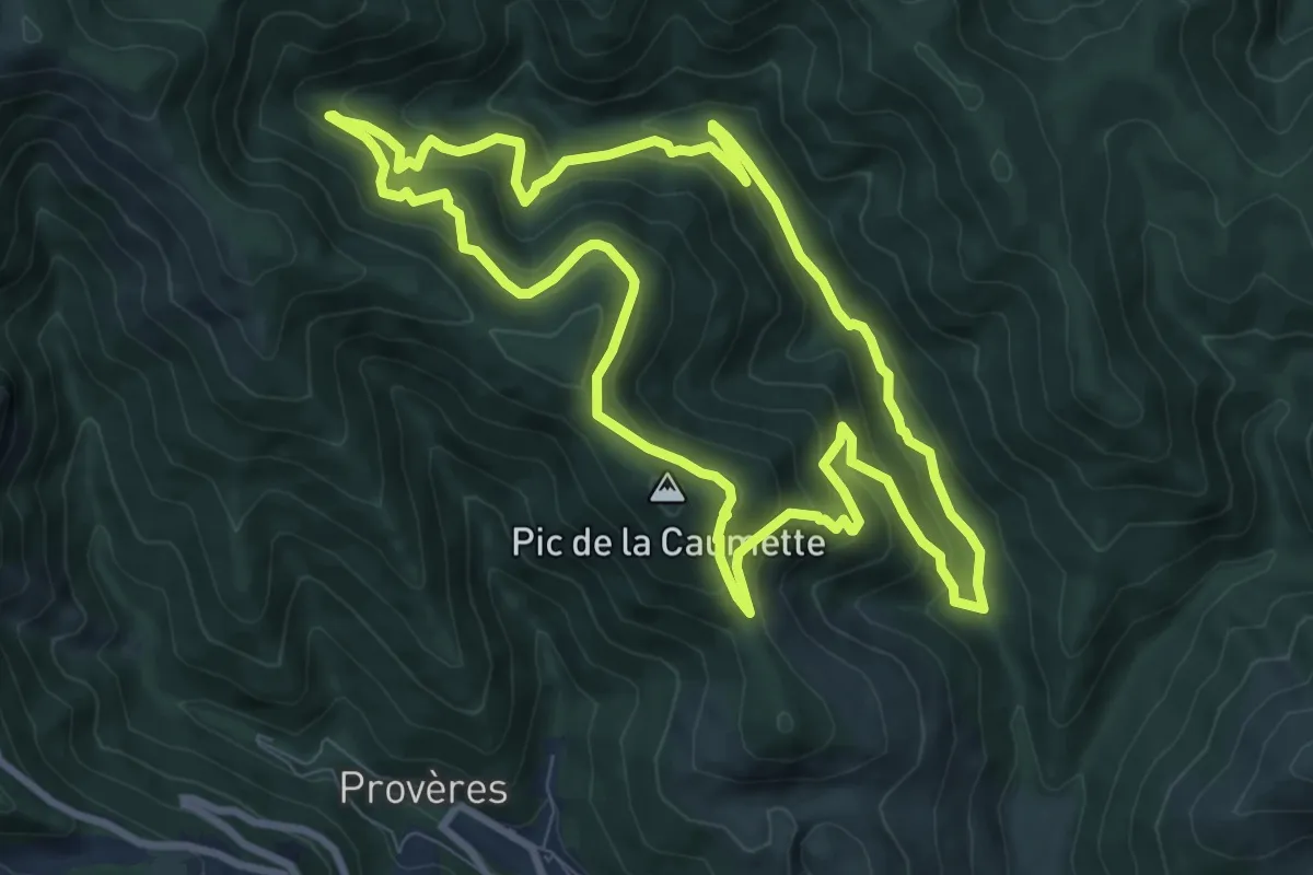
Medium · Summit
L'Arboretum de l'Espaze
9.4 km · ↑ 574 m · 3 h 36 min
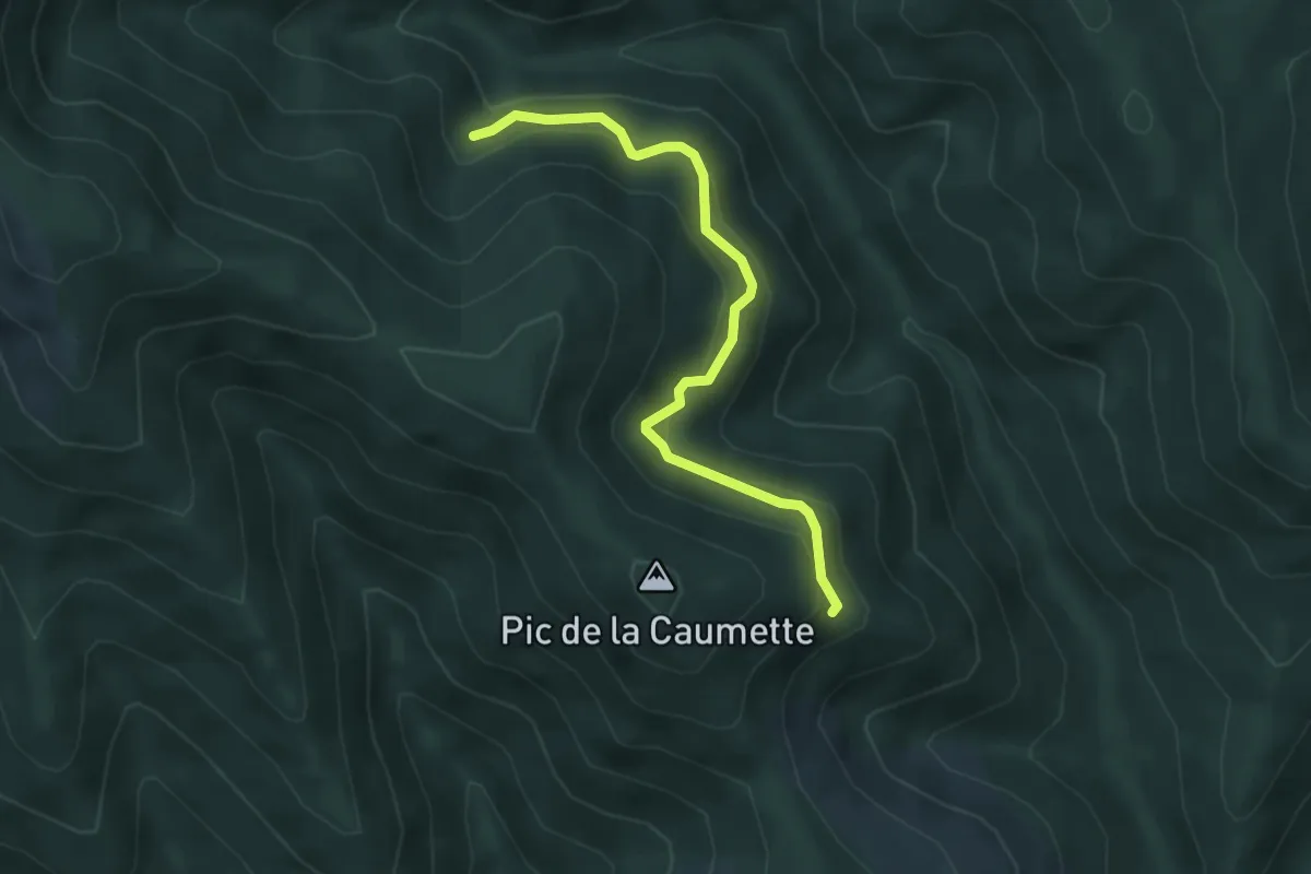
Easy · Trail
L'Arboretum de l'Espaze Variante
2.2 km · ↑ 190 m · 54 min
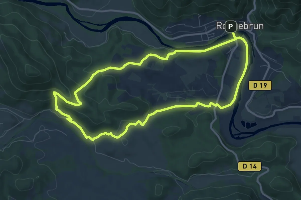
Medium · Trail
L’Arboussié
8.6 km · ↑ 219 m · 2 h 38 min
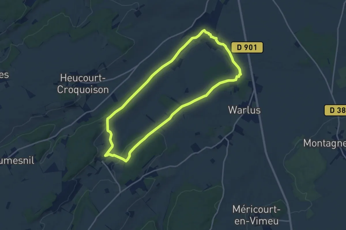
Medium · Trail
L'Arbre à Mouches
11.4 km · ↑ 140 m · 3 h 8 min
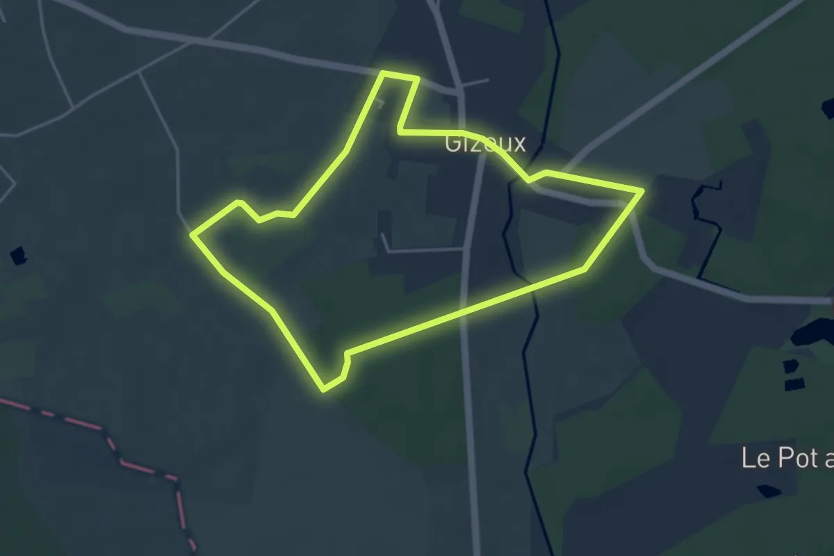
Easy · Trail
L'Arbre, des Racines à la Cime - Gizeux
3.9 km · ↑ 17 m · 1 h 1 min
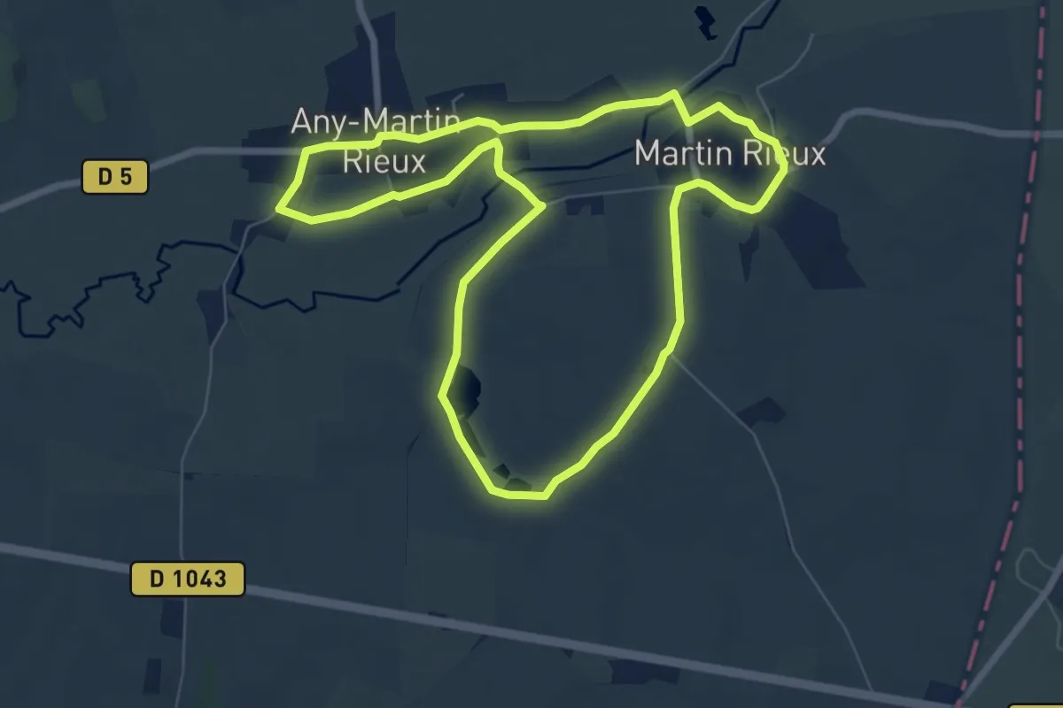
Easy · Trail
L'Arbre du Chaufour
6.5 km · ↑ 36 m · 1 h 42 min
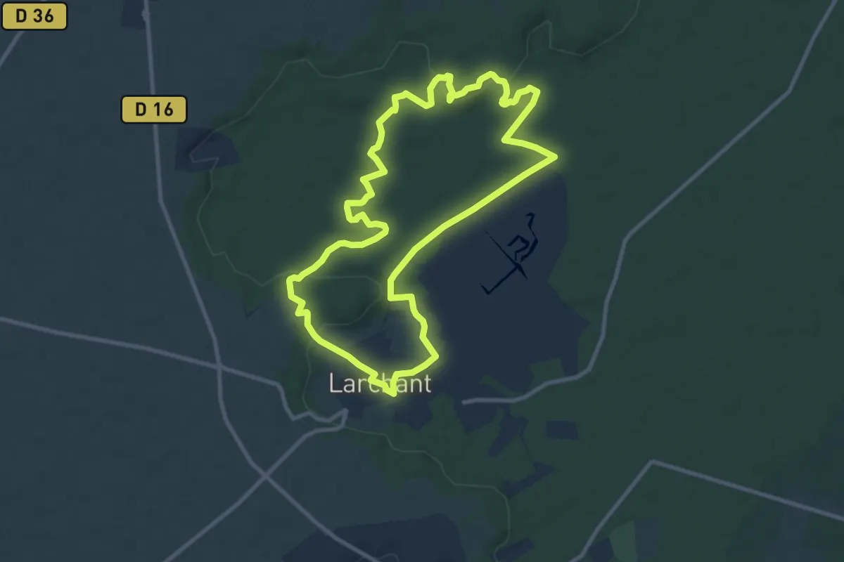
Medium · Summit
Larchant
9.3 km · ↑ 121 m · 2 h 36 min
Medium · Trail
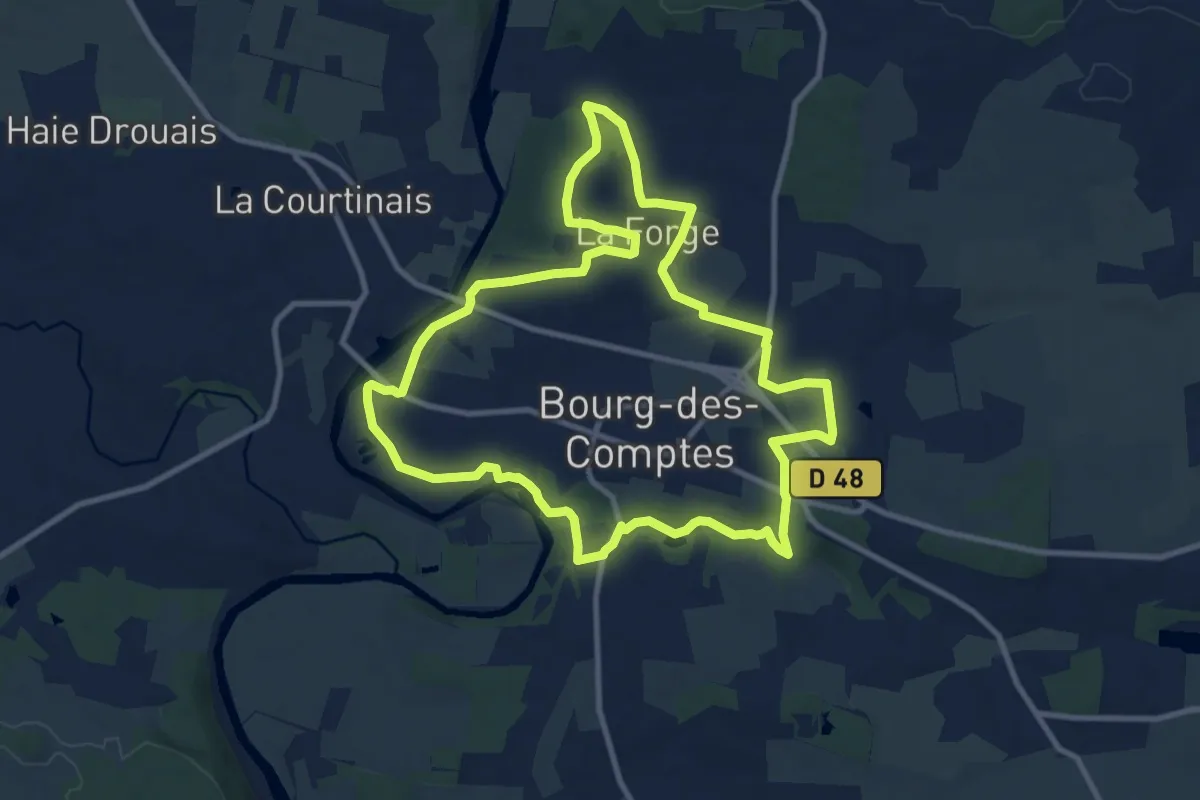
La Réauté
10.3 km · ↑ 121 m · 2 h 50 min
Medium · Trail
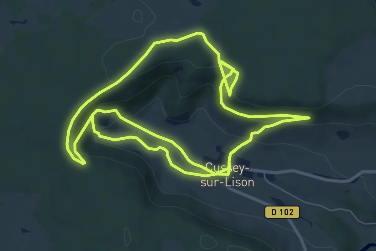
La Reculée de Cussey-sur-Lison
14.2 km · ↑ 489 m · 4 h 25 min
Easy · Trail
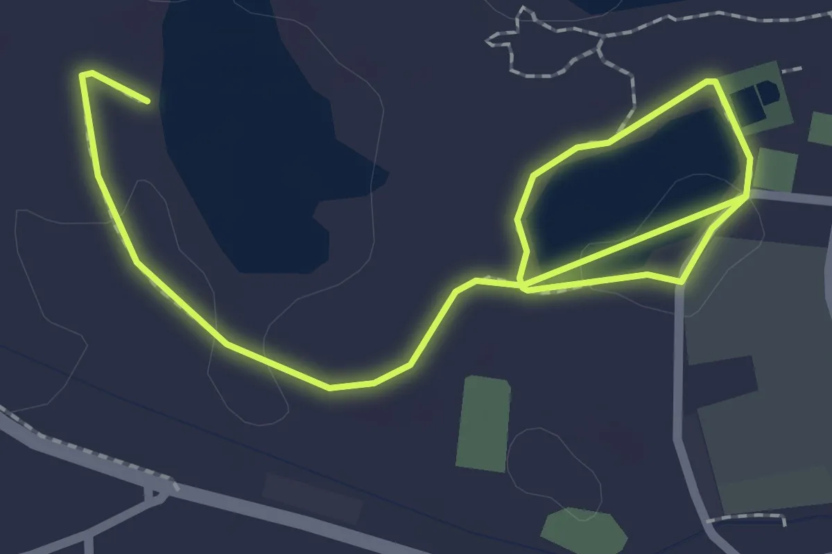
La Reculée du Plain
1.5 km · ↑ 0 m · 23 min