Trails in France
15,906 hiking trails, each with its route, climb, walking time and grade.
All trails, page 16 of 332
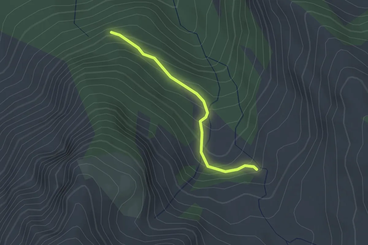
Easy · Trail
Bois des Mondas - Cabane de la Selle
2.1 km · ↑ 175 m · 53 min
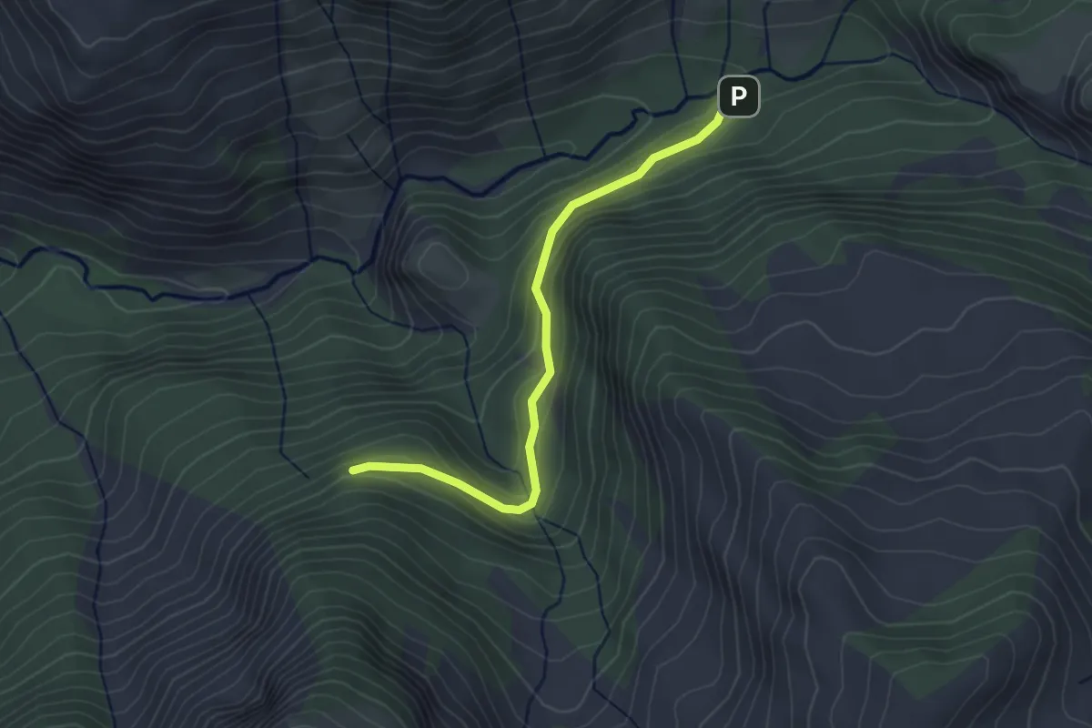
Easy · Trail
Bois des Mondas - Les Paras
3.2 km · ↑ 168 m · 1 h 8 min
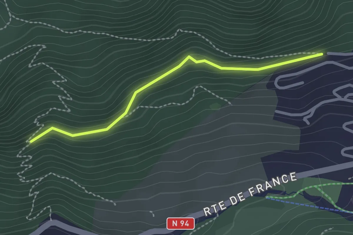
Easy · Trail
Bois des Suffins - Rachas
2.2 km · ↑ 93 m · 44 min
Easy · Trail
Bois de Vincennes
4.0 km · ↑ 5 m · 1 h
Easy · Trail
Bois de Vincennes
4.1 km · ↑ 13 m · 1 h 3 min
Easy · Trail
Bois de Vincennes
5.2 km · ↑ 12 m · 1 h 19 min
Medium · Trail
Bois de Vincennes
9.9 km · ↑ 12 m · 2 h 22 min
Easy · Trail
Bois de Vincennes
6.2 km · ↑ 17 m · 1 h 30 min
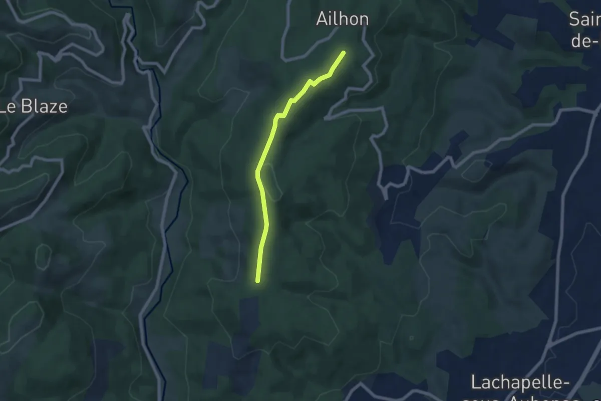
Easy · Trail
Bois de Vogüé - Bonnes Eglises
5.4 km · ↑ 72 m · 1 h 26 min
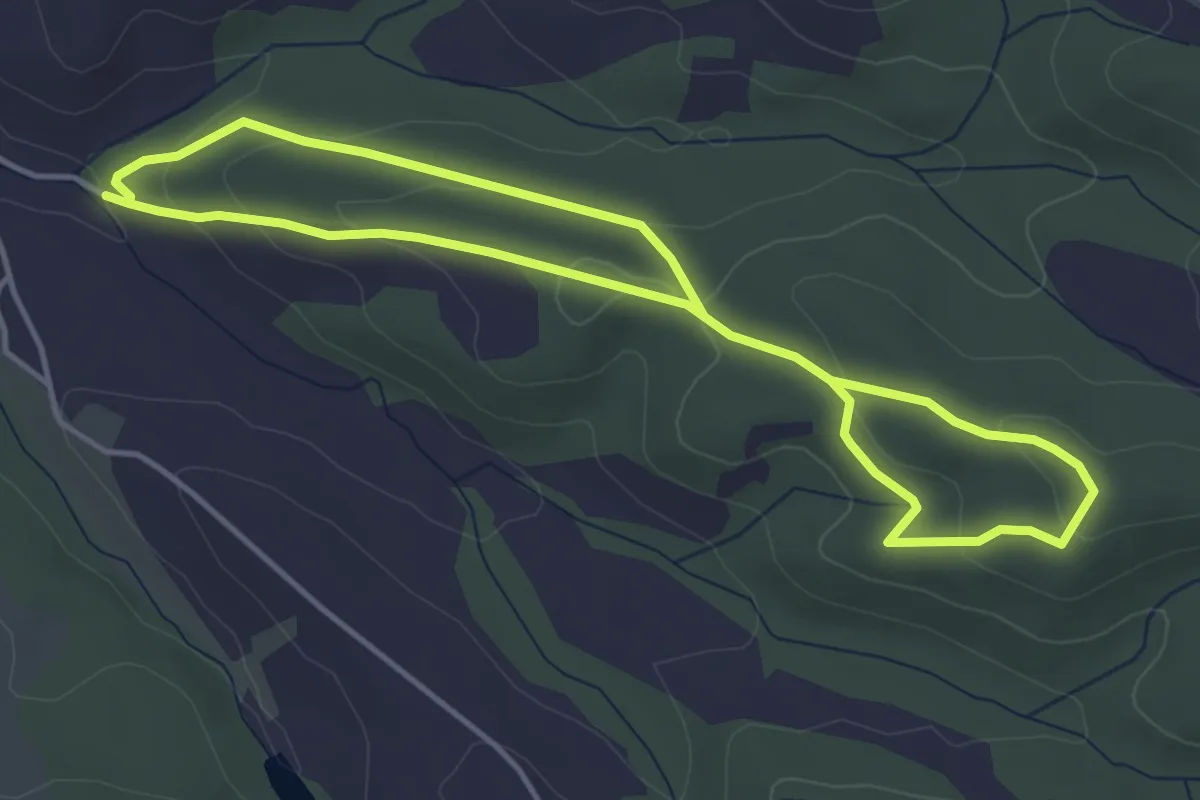
Medium · Trail
Bois du Chapitre
8.0 km · ↑ 267 m · 2 h 29 min
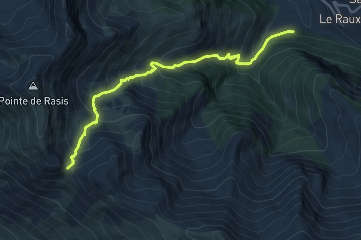
Medium · Trail
Bois du Moulin - Col des Estronques
7.5 km · ↑ 783 m · 3 h 28 min
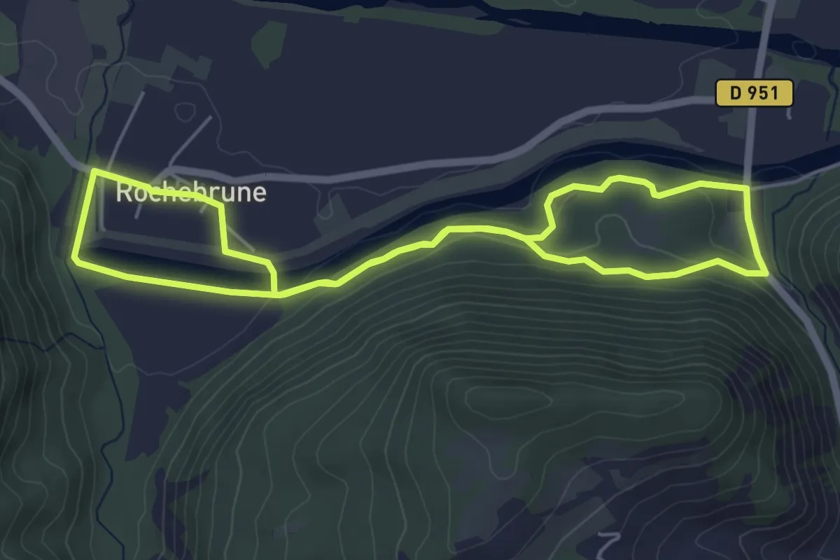
Easy · Trail
Bois du Plan
5.0 km · ↑ 112 m · 1 h 30 min
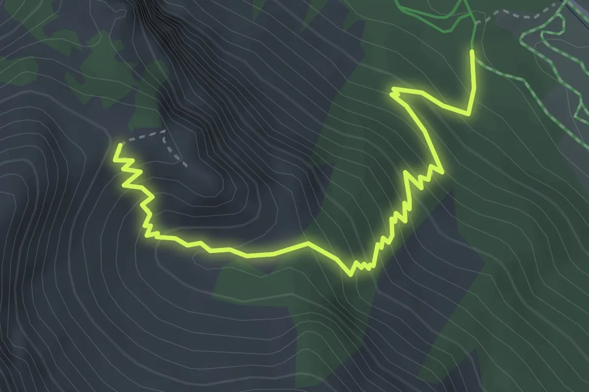
Medium · Trail
Bois du Planet - Col du Cros
4.4 km · ↑ 453 m · 2 h 1 min
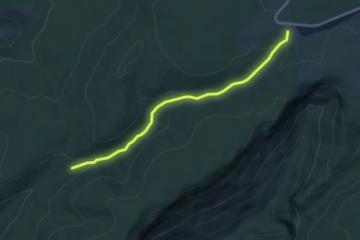
Easy · Trail
Bois du Roi - Mayres
4.5 km · ↑ 117 m · 1 h 19 min
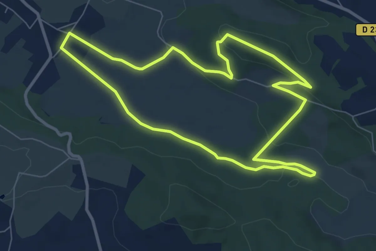
Easy · Trail
Bois et Landes d'Urdès
6.7 km · ↑ 103 m · 1 h 55 min
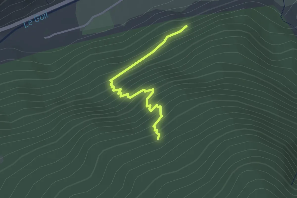
Easy · Trail
Bois Foran - Balarin
2.7 km · ↑ 306 m · 1 h 19 min
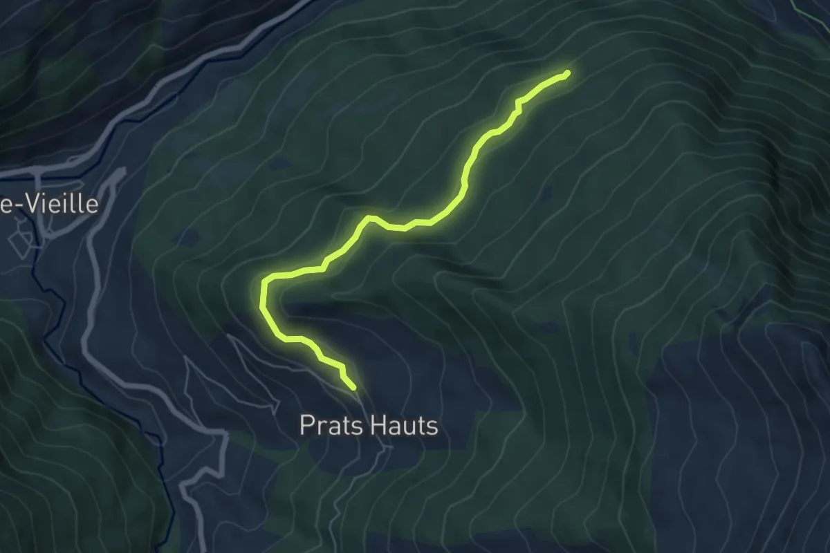
Easy · Trail
Bois Foran - Prats Hauts Jourdanne
5.7 km · ↑ 232 m · 1 h 50 min
Easy · Trail
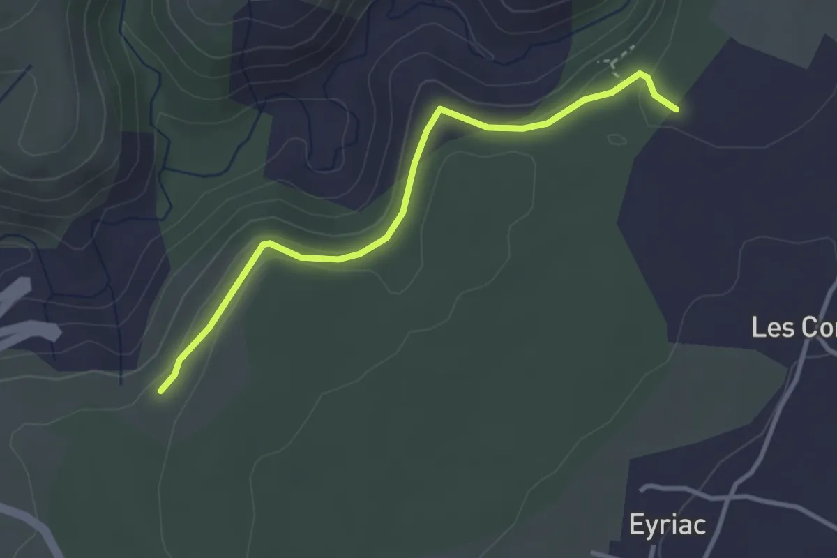
Bois Gardette - Issard de Madame
3.3 km · ↑ 146 m · 1 h 6 min
Easy · Trail
Boisgard - Stades du Monnet
1.7 km · ↑ 8 m · 26 min
Easy · Trail
Bois Joly
7.0 km · ↑ 105 m · 1 h 58 min
Demanding · Trail
Bois Marières et vallée Malamain
18.5 km · ↑ 255 m · 4 h 55 min
Medium · Trail
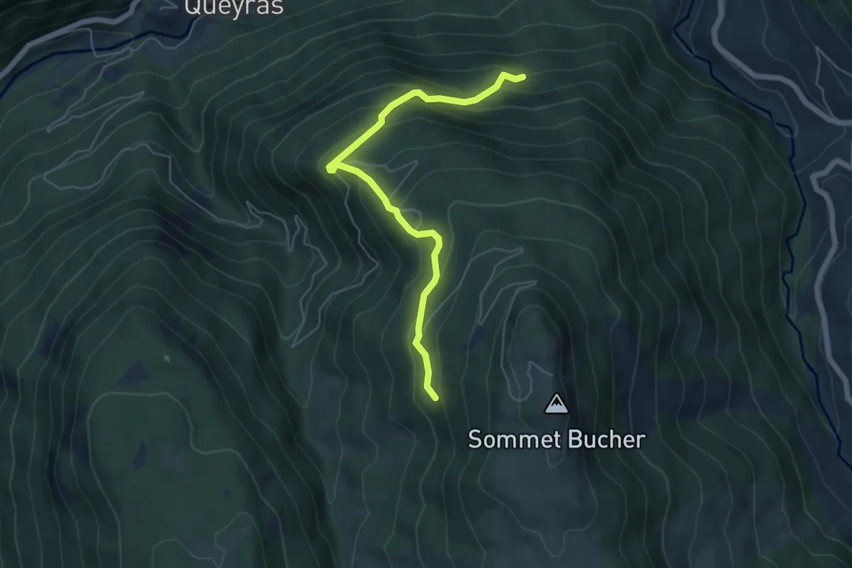
Bois Noir - Ravin de Thioure
5.5 km · ↑ 419 m · 2 h 12 min
Medium · Trail
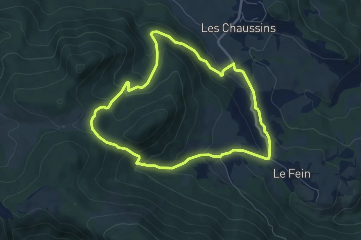
Bois Seignières
6.3 km · ↑ 331 m · 2 h 17 min
Easy · Trail
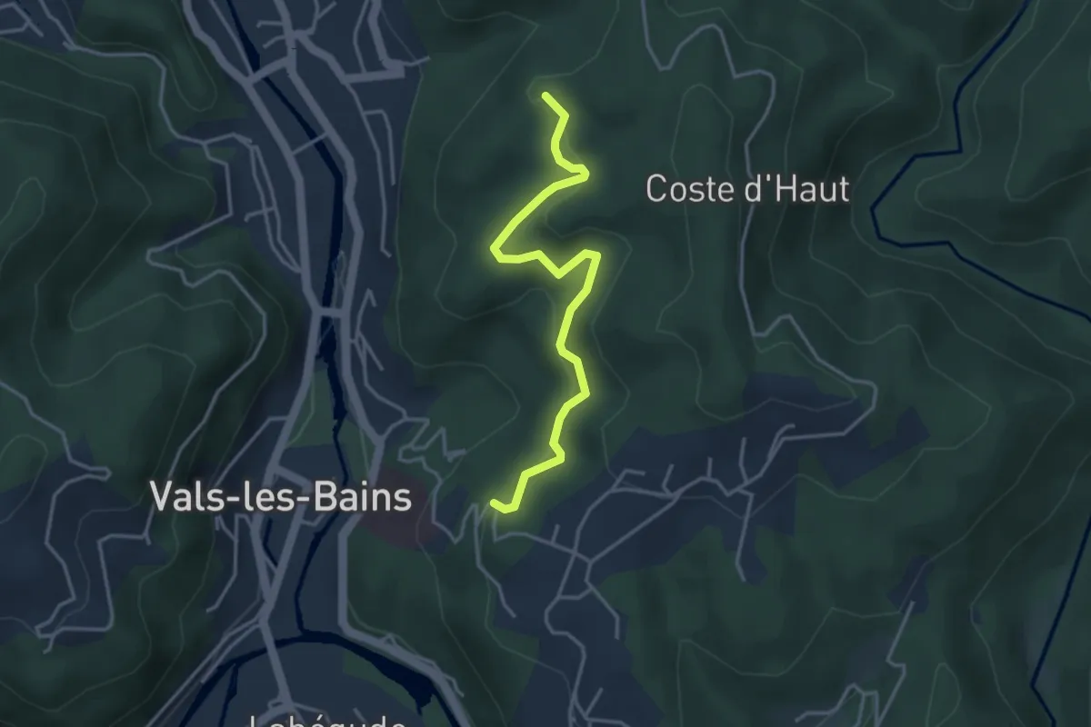
Bois Vert - Le Bosc
3.6 km · ↑ 150 m · 1 h 11 min
Easy · Trail
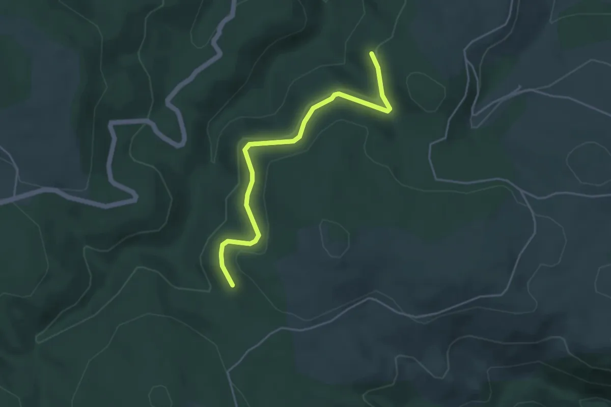
Bois Vert - Rastélède
4.2 km · ↑ 113 m · 1 h 14 min
Demanding · Trail
Bois, Vignes, Champs et Prés
20.4 km · ↑ 152 m · 5 h 26 min
Medium · Trail
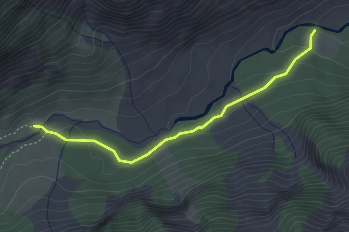
Bonjurian - ?
3.6 km · ↑ 99 m · 1 h 3 min
Easy · Trail
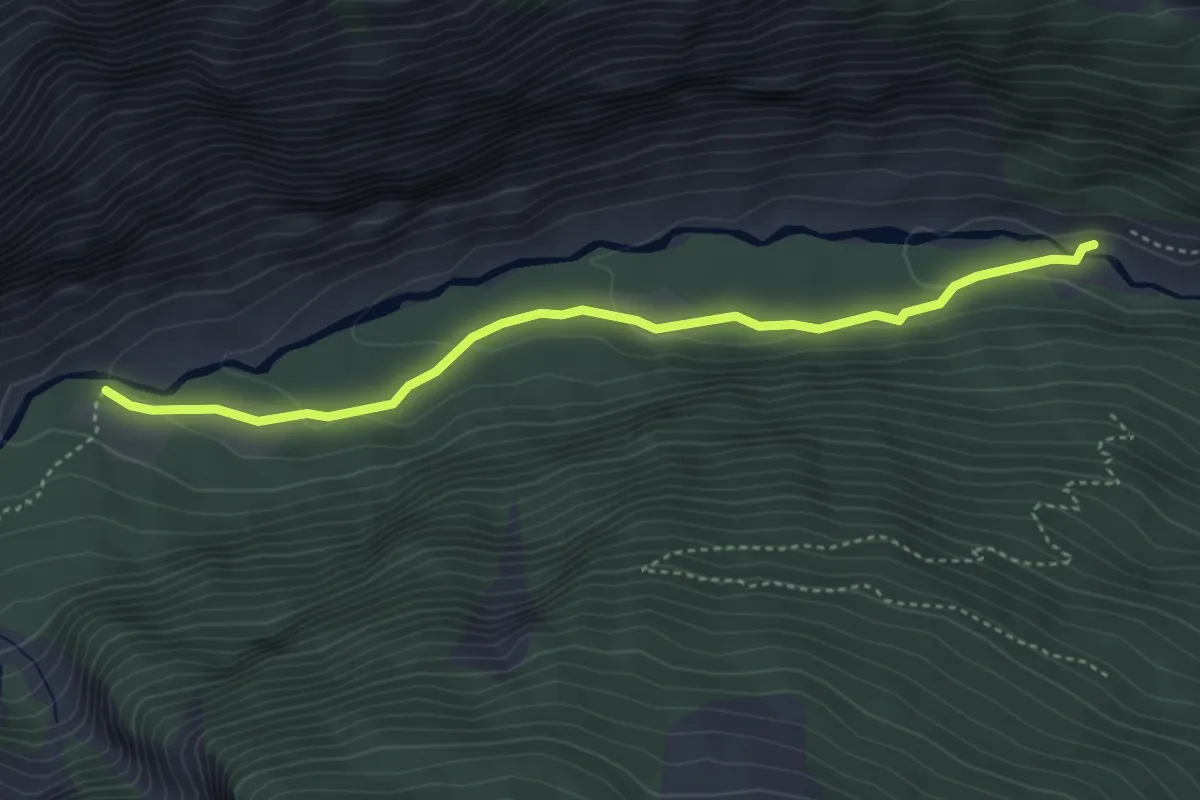
Bonjurian - Les Albrands
4.2 km · ↑ 105 m · 1 h 13 min
Medium · Trail
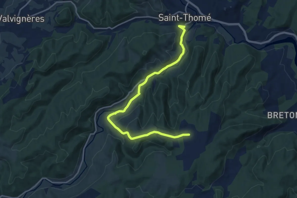
Bonnefoy - Brugette
11.9 km · ↑ 354 m · 3 h 34 min
Medium · Trail
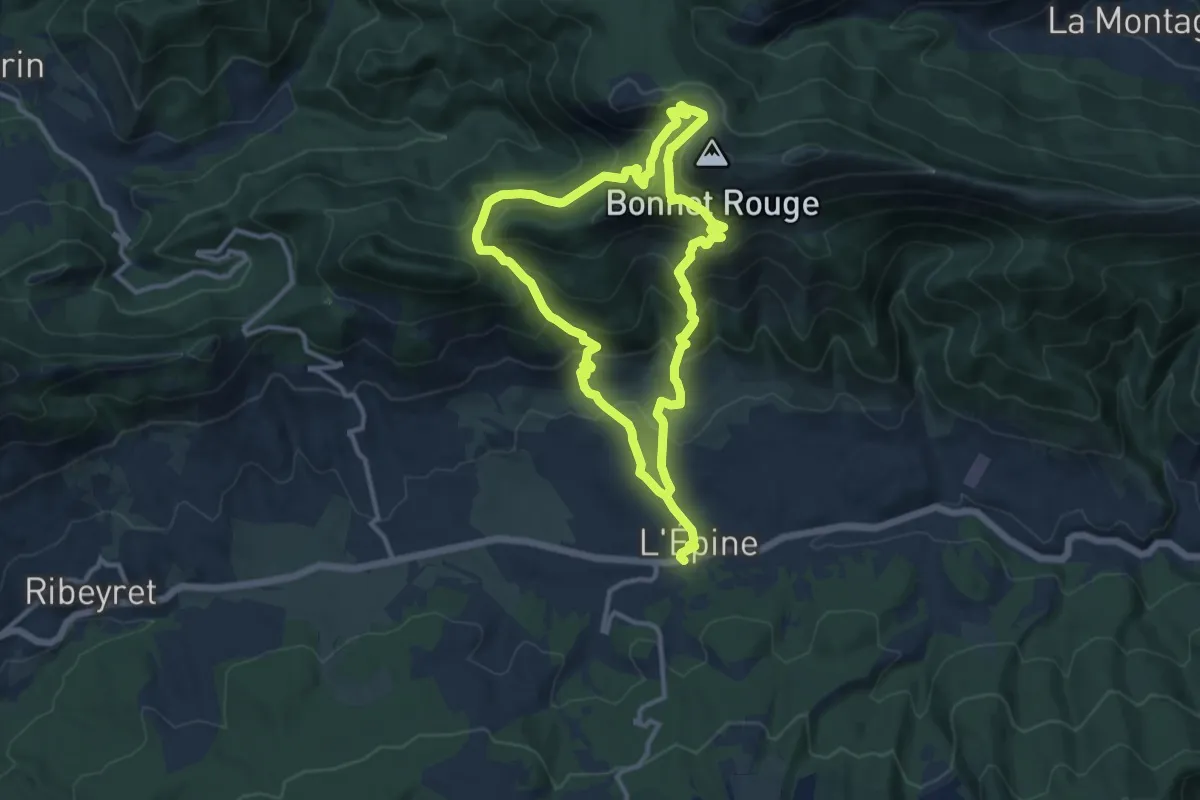
Bonnet Rouge
10.9 km · ↑ 688 m · 4 h 14 min
Easy · Trail
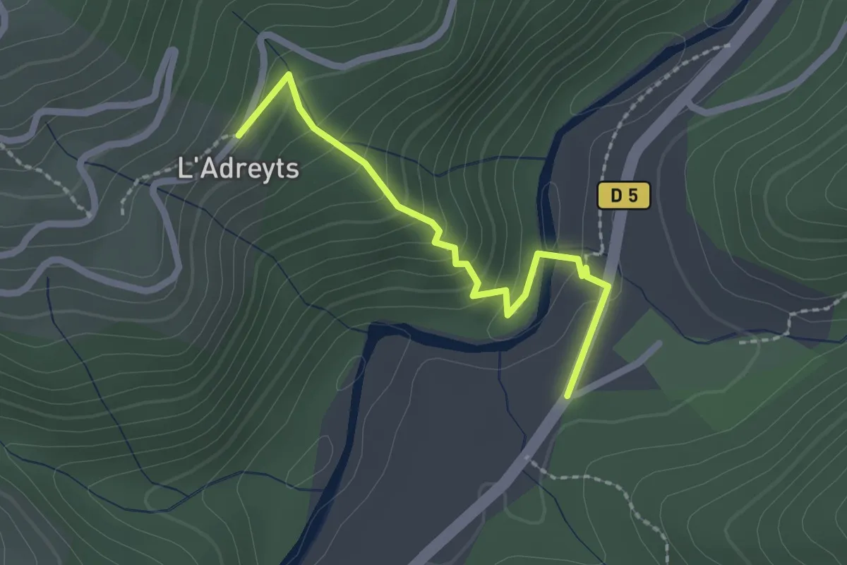
Bonneval - La Brousse
2.1 km · ↑ 133 m · 47 min
Easy · Trail
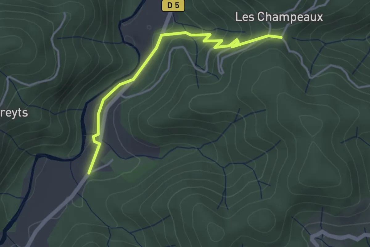
Bonneval - La croix de Chareyre
3.6 km · ↑ 153 m · 1 h 11 min
Easy · Trail
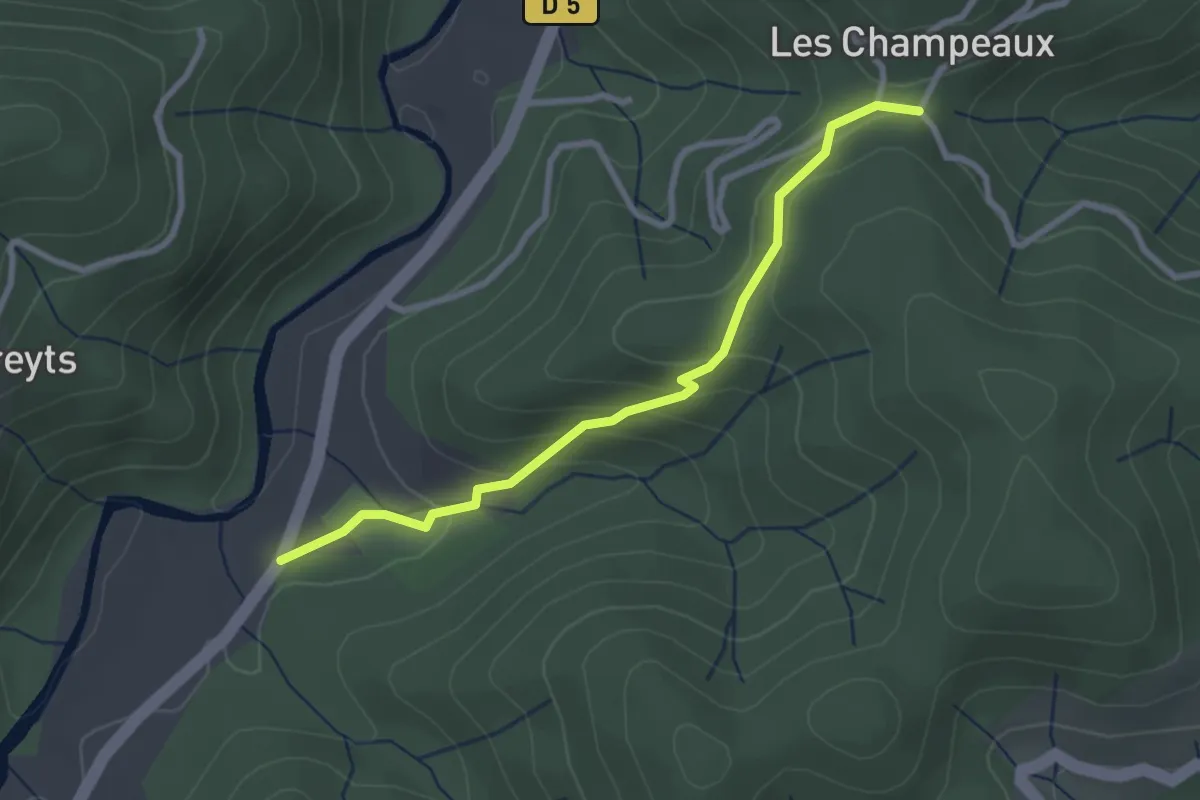
Bonneval - La croix de Chareyre
2.8 km · ↑ 137 m · 58 min
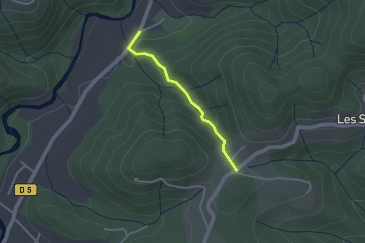
Easy · Trail
Bonneval - Larmande
2.0 km · ↑ 89 m · 41 min
Demanding · Summit
Bon-Secours - Son
24.4 km · ↑ 401 m · 6 h 37 min
Medium · Trail
Bordebure et Gâtacier
10.8 km · ↑ 62 m · 2 h 49 min
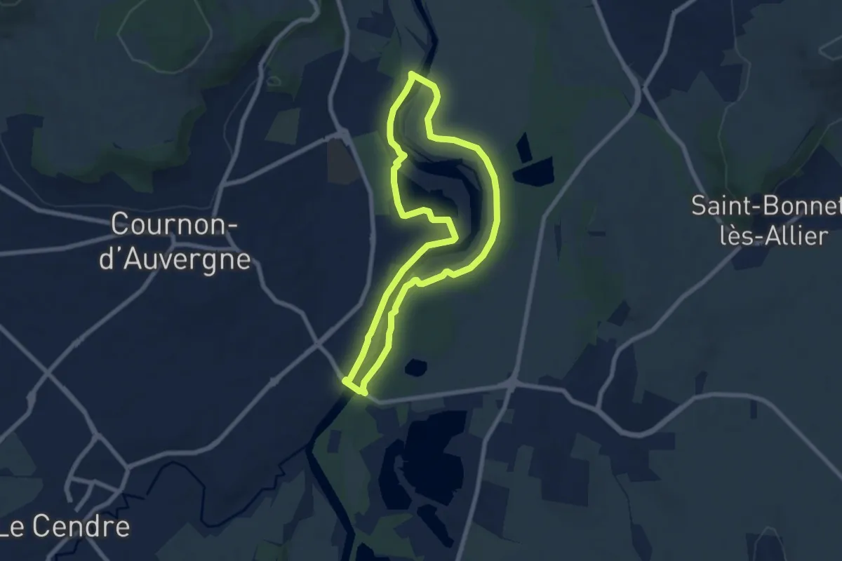
Easy · Trail
Bords d'Allier
6.6 km · ↑ 19 m · 1 h 41 min
Demanding · Trail
Bords de Canal de l'Ourcq
31.9 km · ↑ 42 m · 7 h 37 min
Demanding · Trail
Bords de Marne
26.0 km · ↑ 92 m · 6 h 42 min
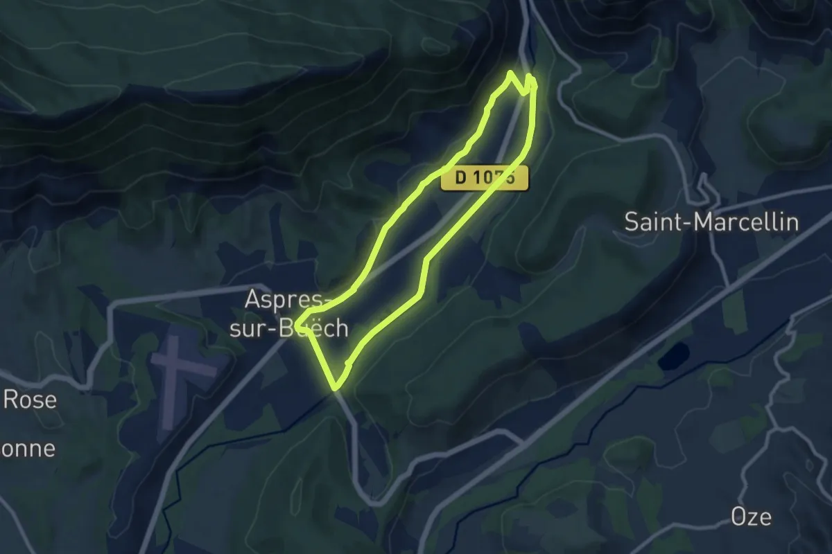
Medium · Trail
Bords du Buëch
8.1 km · ↑ 69 m · 2 h 10 min
Medium · Trail
Borne des Quatre Seigneurs
12.5 km · ↑ 160 m · 3 h 17 min
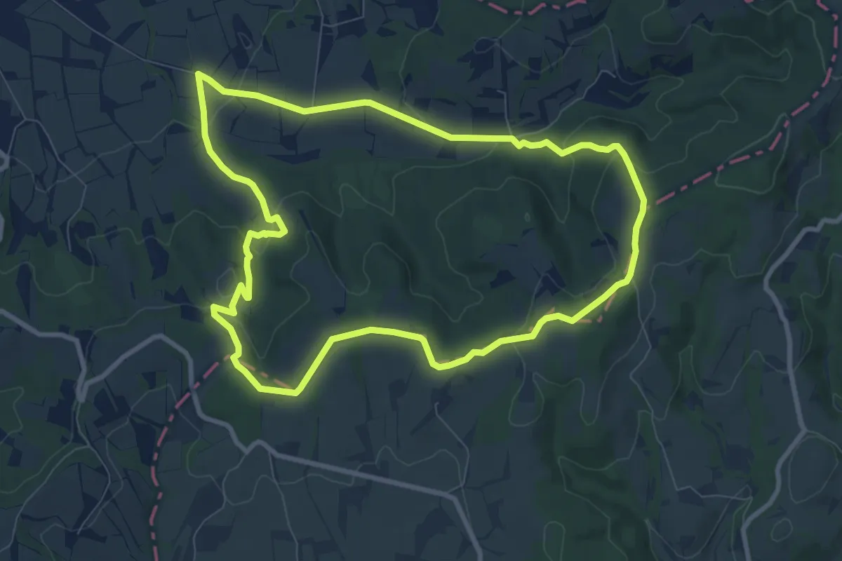
Medium · Trail
Bornes Papales
8.9 km · ↑ 215 m · 2 h 41 min
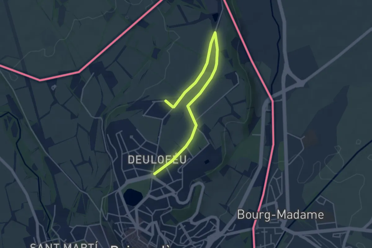
Easy · Trail
Bosquet de Puigcerdà llac de Torniquet
2.5 km · ↑ 4 m · 38 min
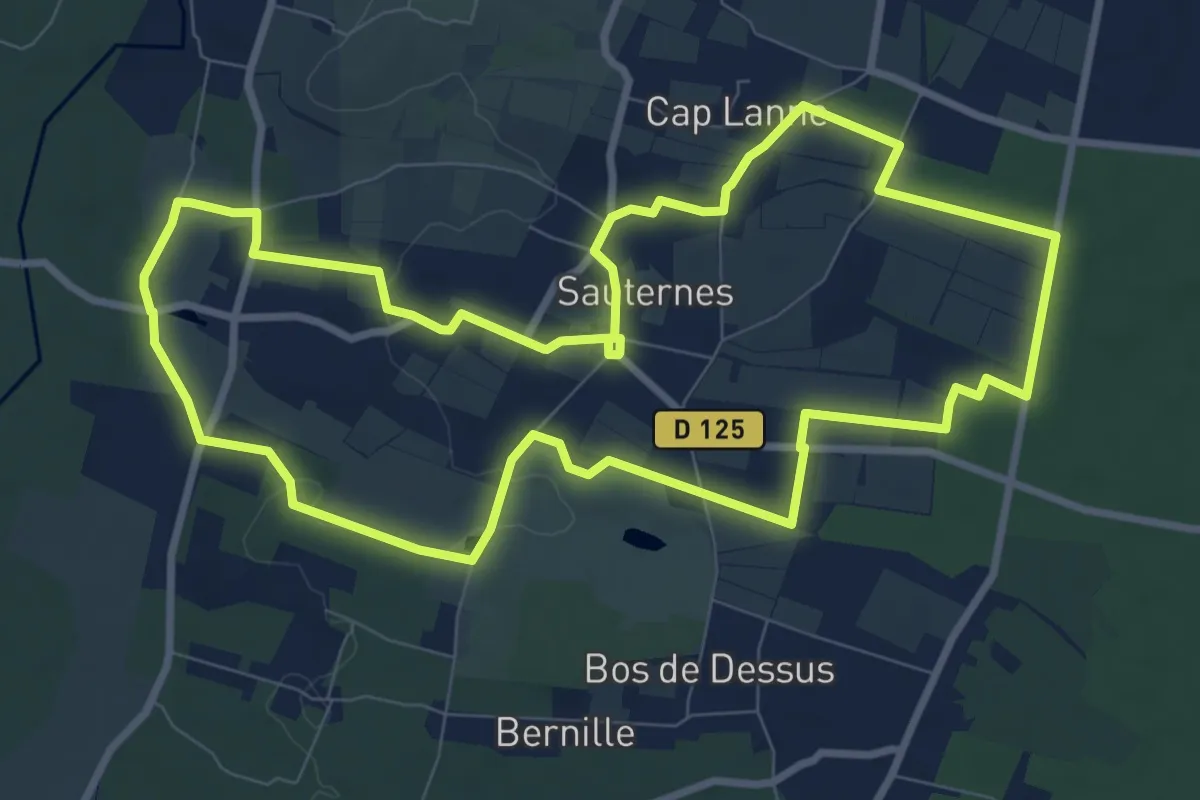
Medium · Trail
Botrytis Cinéréa : boucle locale
9.9 km · ↑ 77 m · 2 h 39 min
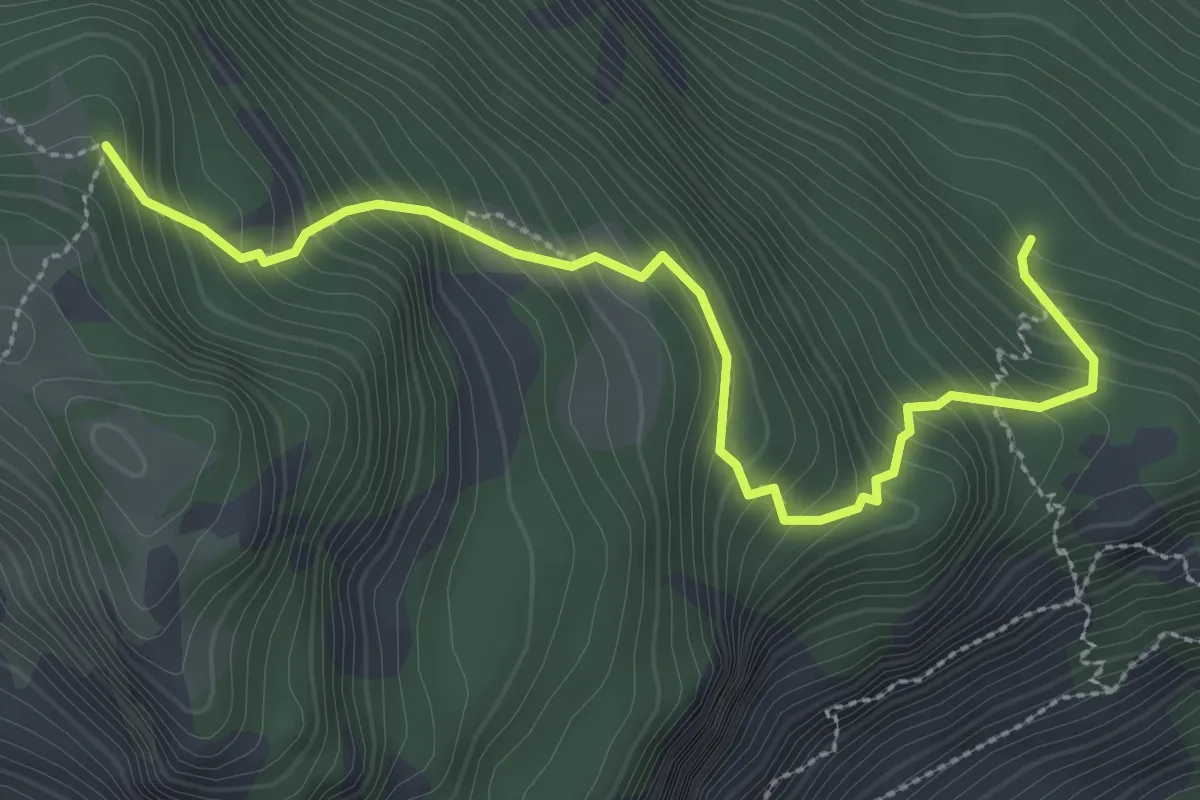
Medium · Trail
Bouchet - ?
3.5 km · ↑ 393 m · 1 h 40 min
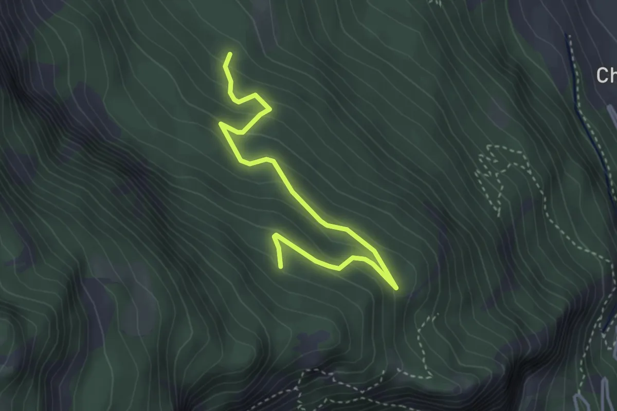
Easy · Trail
Bouchet - Clot des Vignes
3.8 km · ↑ 257 m · 1 h 28 min
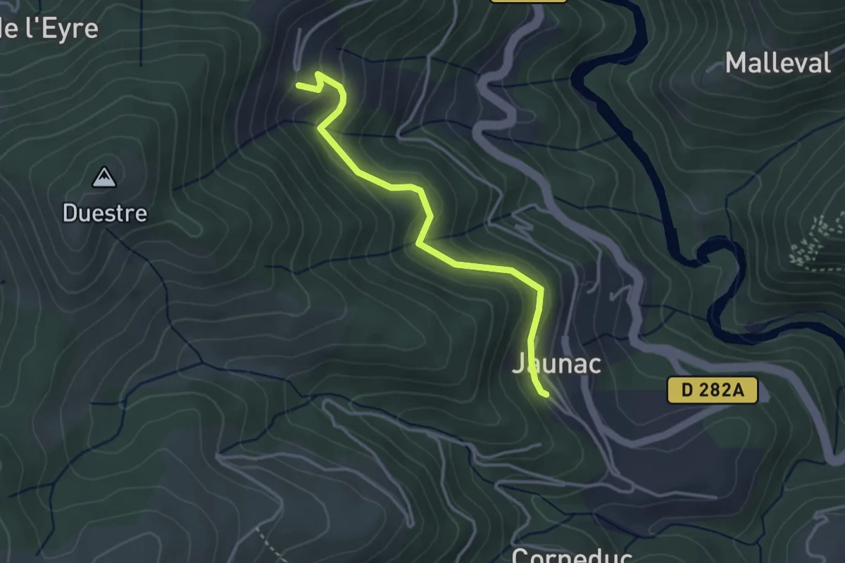
Easy · Trail
Bouchet Ravaux - Jaunac Ouest
3.3 km · ↑ 163 m · 1 h 8 min
Medium · Trail
Boucle 1
15.6 km · ↑ 117 m · 4 h 9 min