Trails in France
15,926 hiking trails, each with its route, climb, walking time and grade.
All trails, page 240 of 332
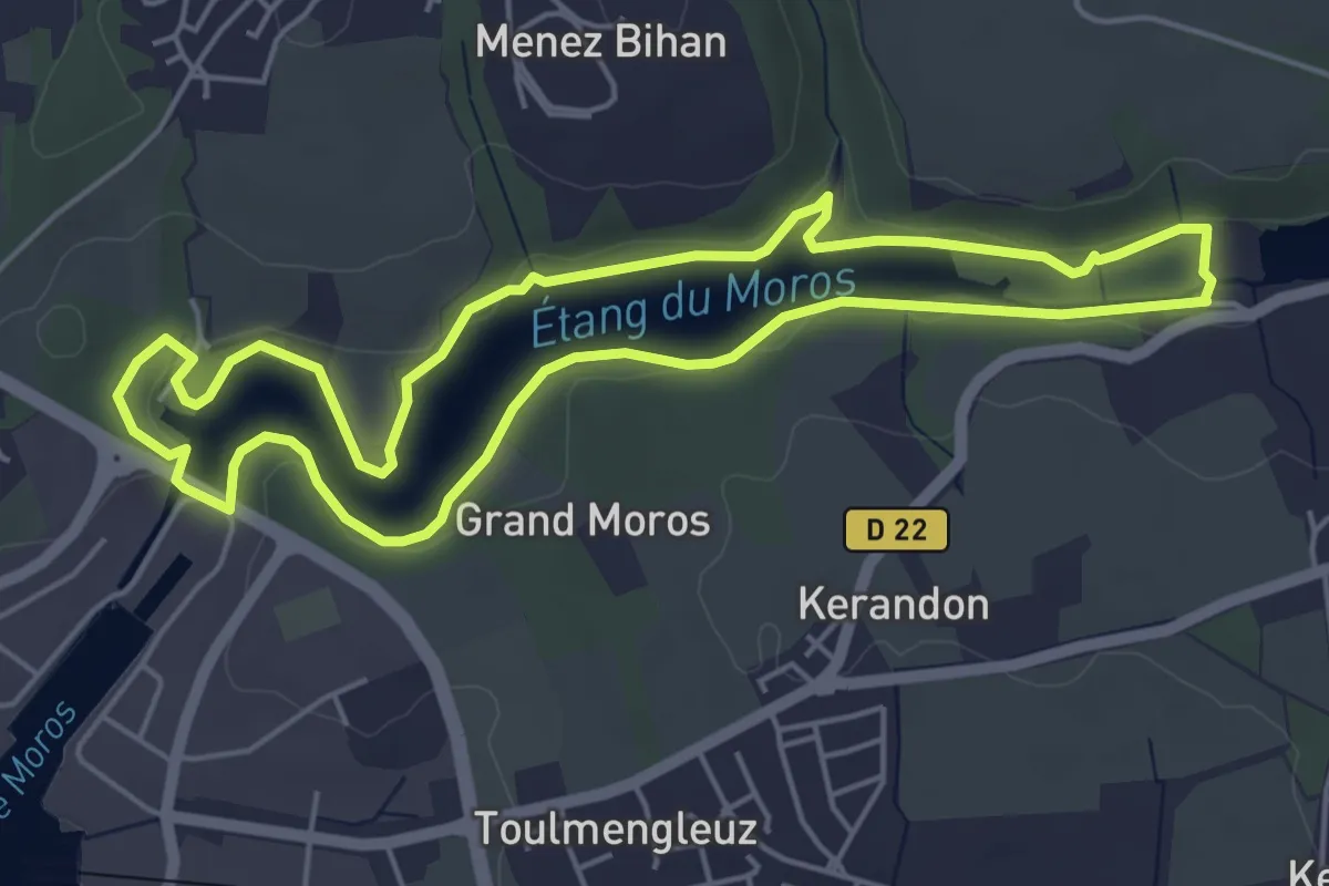
Easy · Trail
Sentier Côtier du Moros
5.0 km · ↑ 49 m · 1 h 22 min
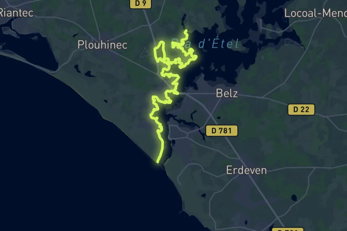
Demanding · Trail
Sentier Côtier Rivière d'Etel
20.9 km · ↑ 57 m · 5 h 20 min
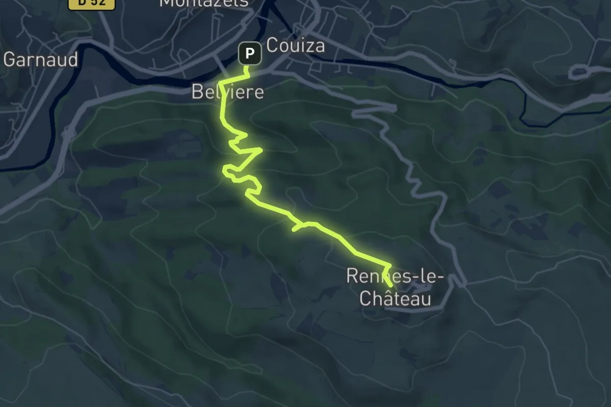
Easy · Trail
Sentier Couiza – Rennes-le-Château
6.7 km · ↑ 275 m · 2 h 11 min
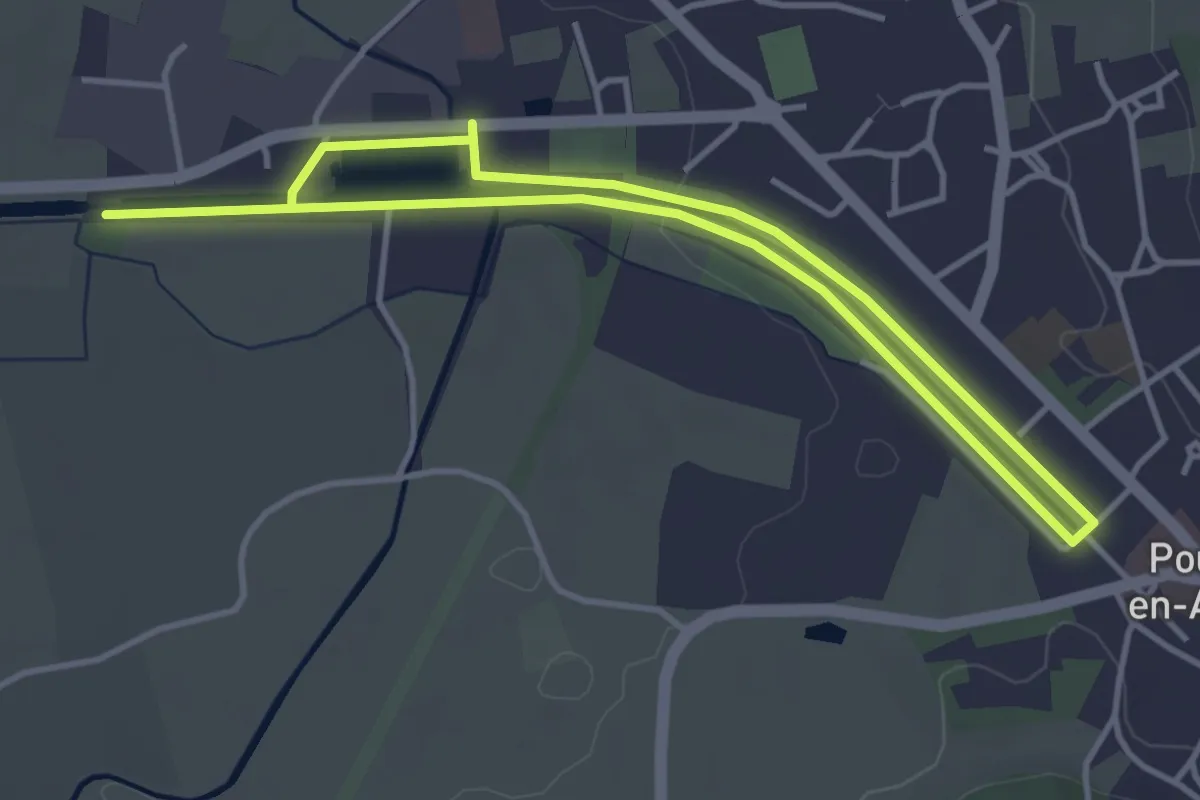
Easy · Trail
Sentier créatif « Dessine-moi le canal de Bourgogne »
3.4 km · ↑ 17 m · 53 min
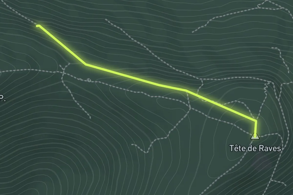
Easy · Summit
Sentier Cuny
2.1 km · ↑ 111 m · 44 min
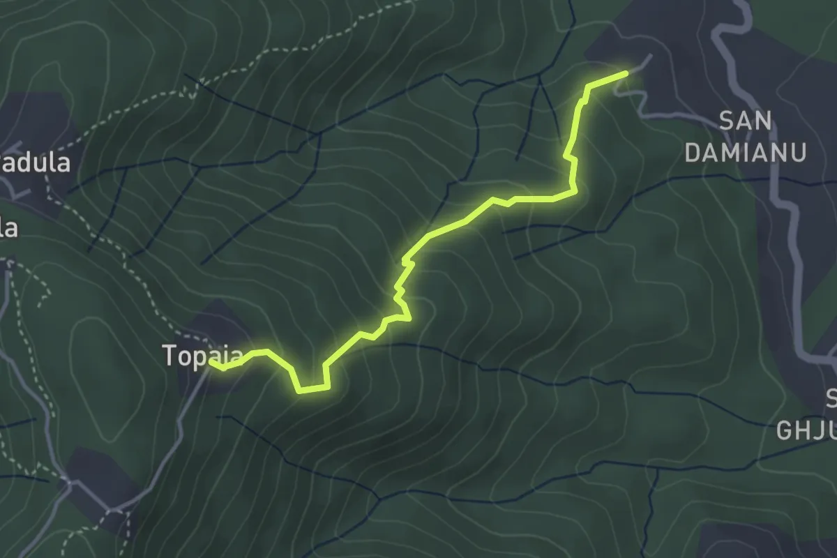
Medium · Trail
Sentier Cuva-Topaja
3.8 km · ↑ 334 m · 1 h 37 min
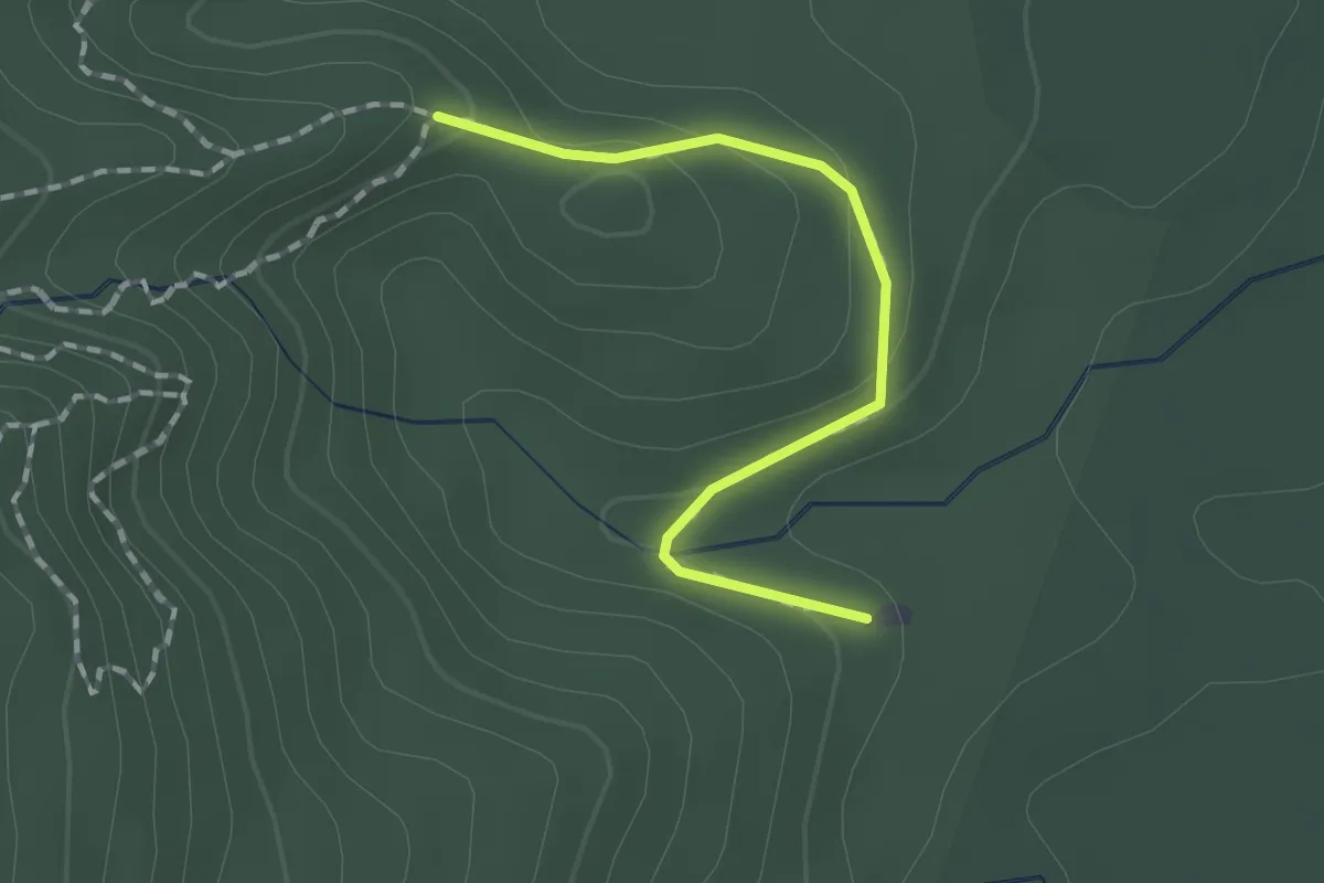
Easy · Trail
Sentier d'accès
2.1 km · ↑ 83 m · 41 min
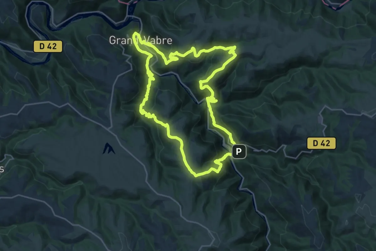
Demanding · Trail
Sentier Dadon
20.3 km · ↑ 945 m · 7 h 7 min
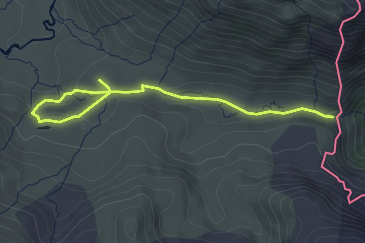
Easy · Trail
Sentier d'Aguas Tuertas
4.8 km · ↑ 80 m · 1 h 18 min
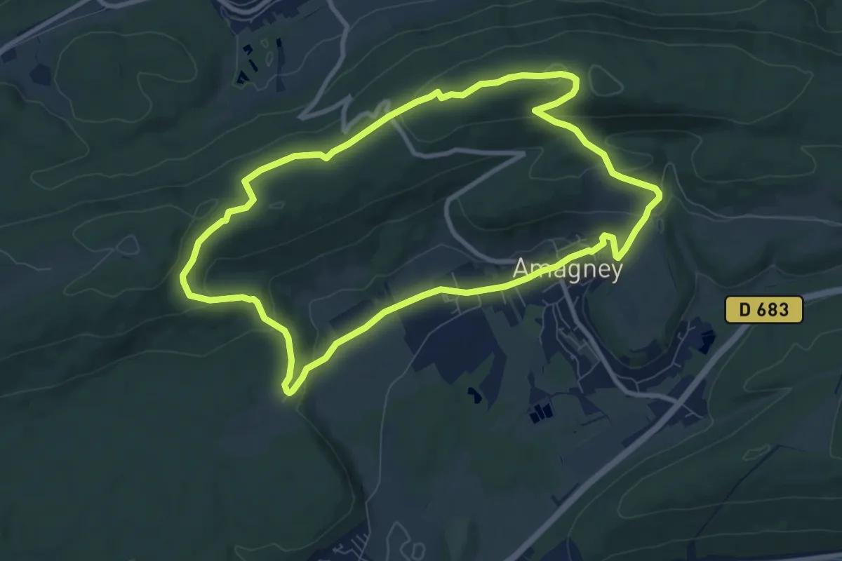
Medium · Trail
Sentier d'Amagney
8.5 km · ↑ 236 m · 2 h 39 min
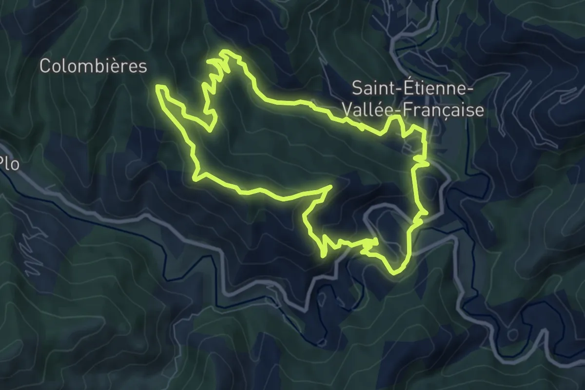
Medium · Trail
Sentier d'Auriol
9.1 km · ↑ 383 m · 3 h 7 min
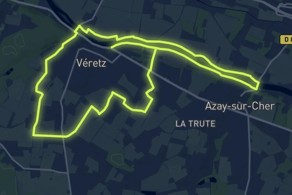
Medium · Trail
Sentier de Bacchus - Véretz
13.8 km · ↑ 45 m · 3 h 33 min
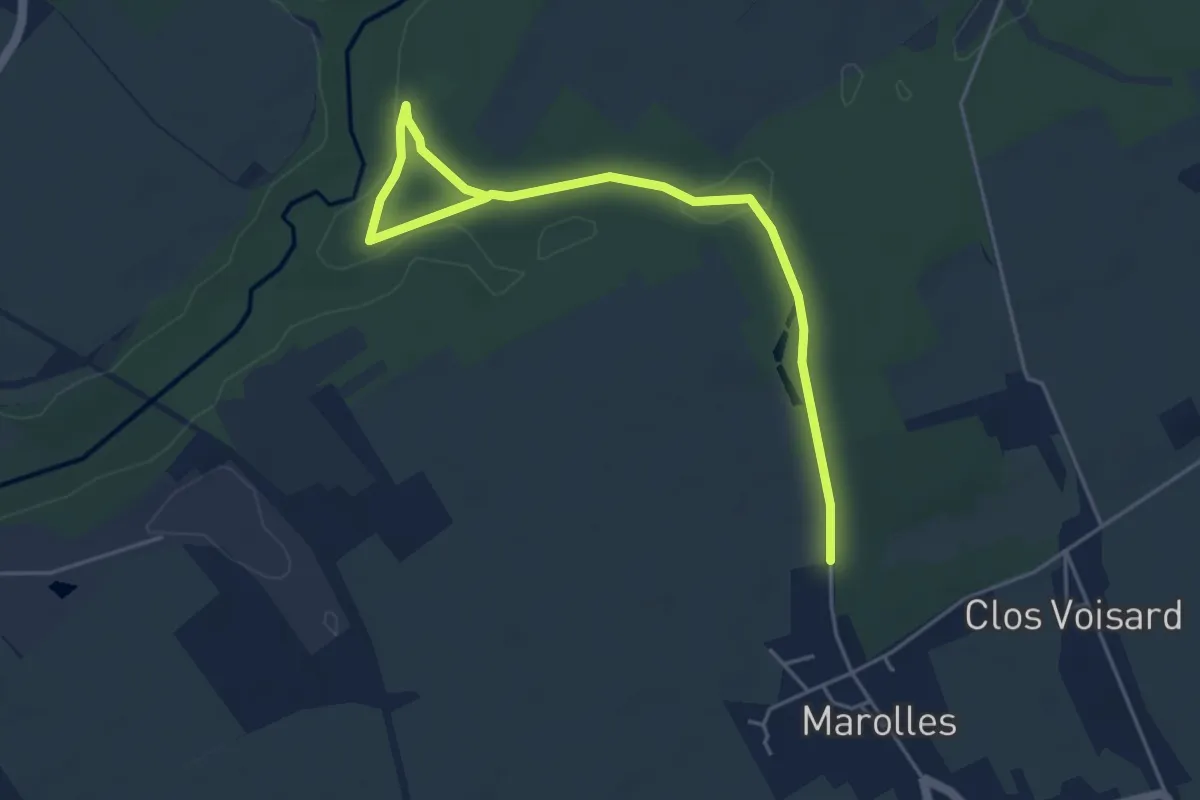
Easy · Trail
Sentier de balade de la réserve naturelle de Marolles
2.6 km · ↑ 18 m · 42 min
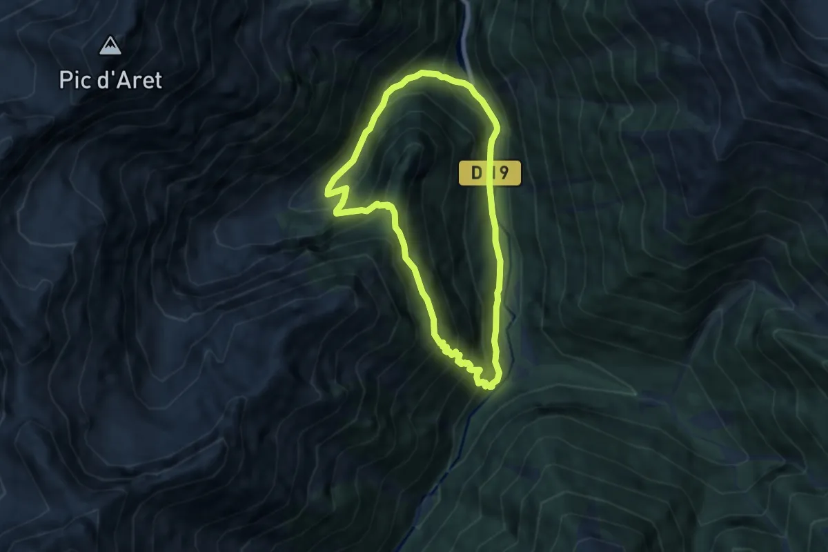
Medium · Trail
Sentier de Baricave
6.1 km · ↑ 537 m · 2 h 42 min
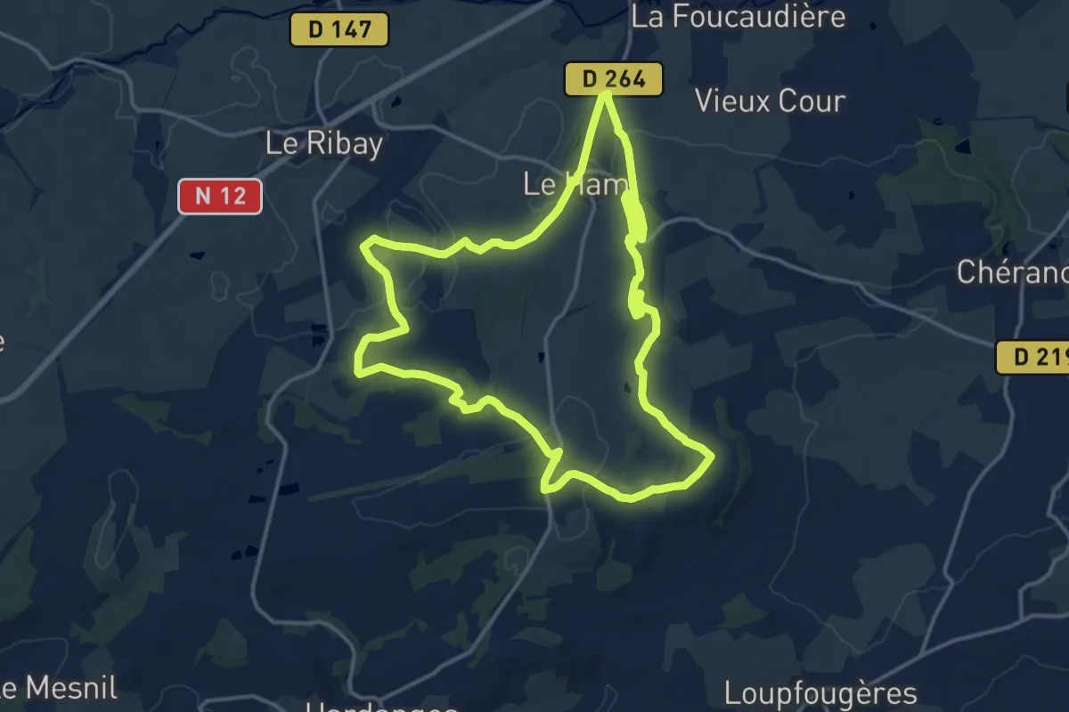
Medium · Trail
Sentier de Bazeilles
14.4 km · ↑ 222 m · 4 h 5 min
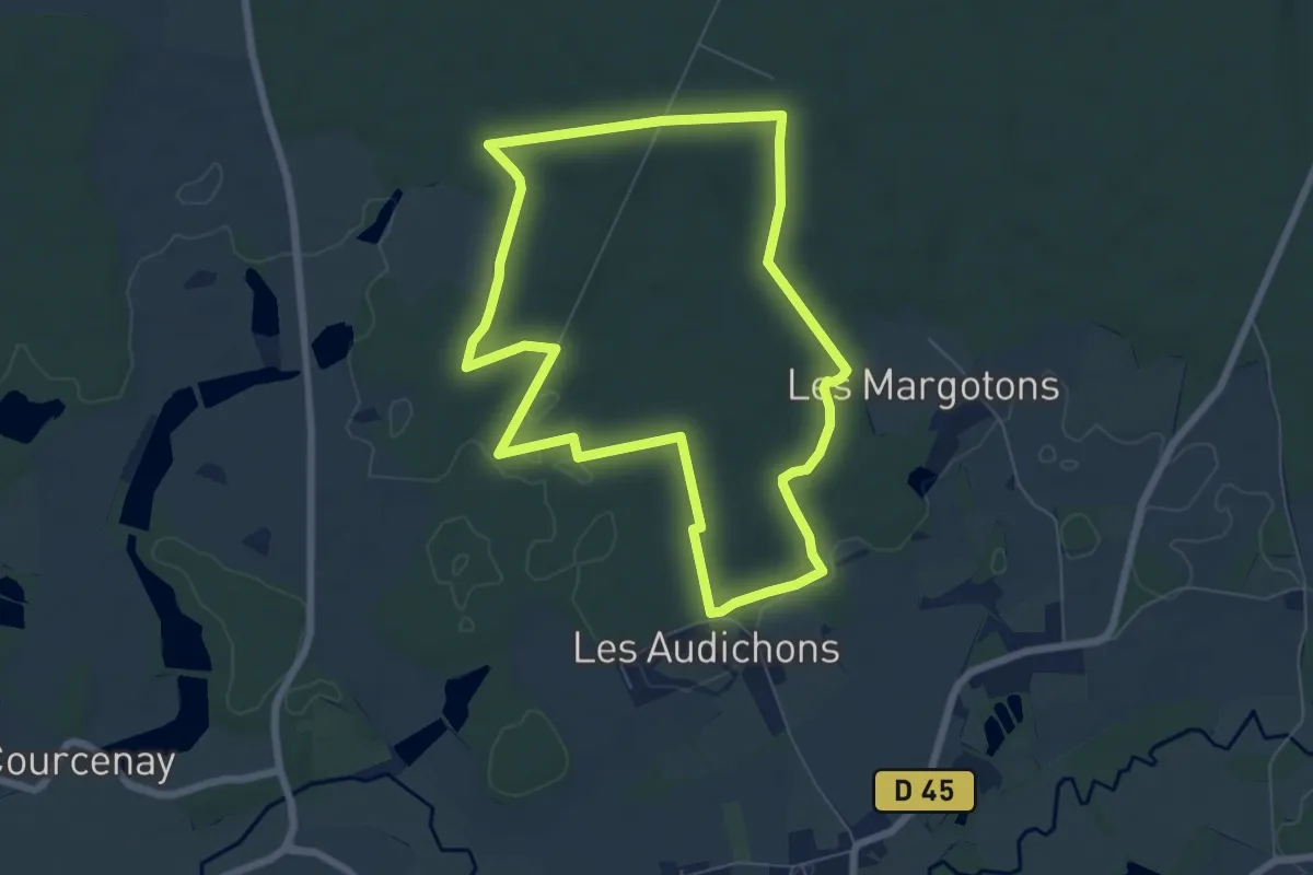
Easy · Trail
Sentier de Beauregard
6.7 km · ↑ 53 m · 1 h 47 min
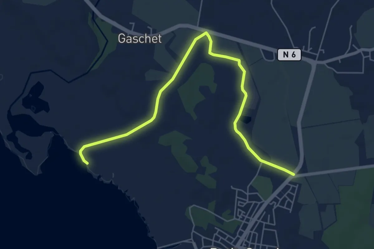
Medium · Trail
Sentier de Beautiran
8.5 km · ↑ 62 m · 2 h 9 min
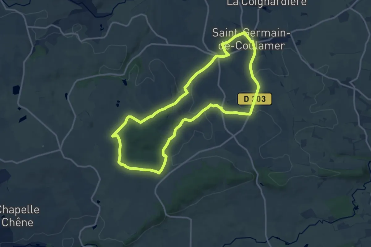
Medium · Trail
Sentier de Bel Air
10.4 km · ↑ 181 m · 3 h
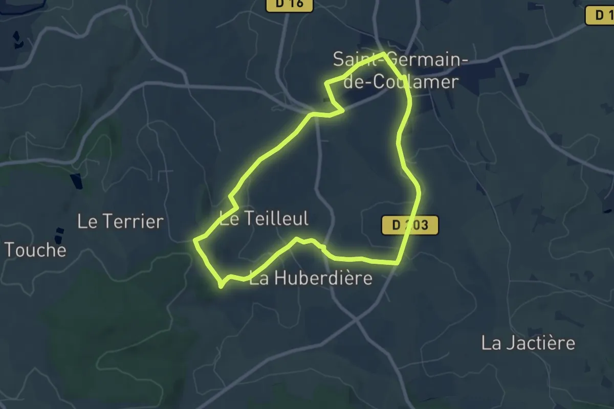
Easy · Trail
Sentier de Bel Air (a)
6.5 km · ↑ 98 m · 1 h 50 min
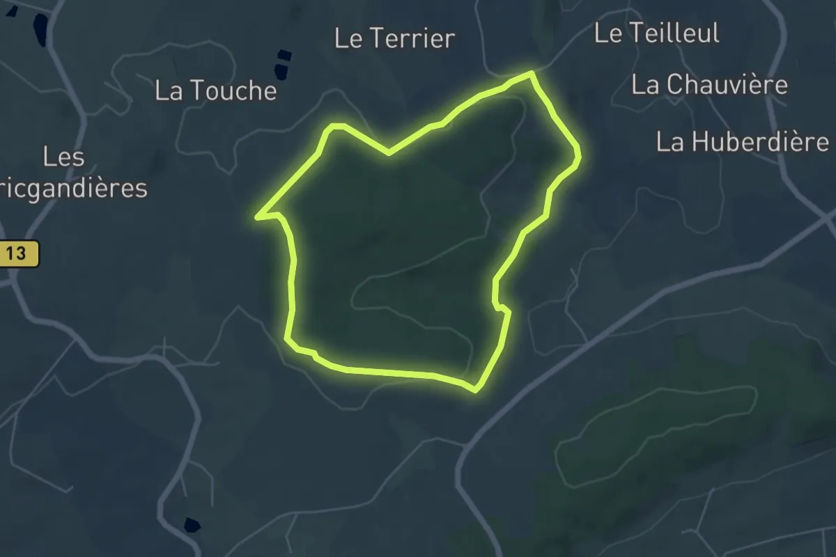
Easy · Trail
Sentier de Bel Air (b)
4.8 km · ↑ 113 m · 1 h 26 min
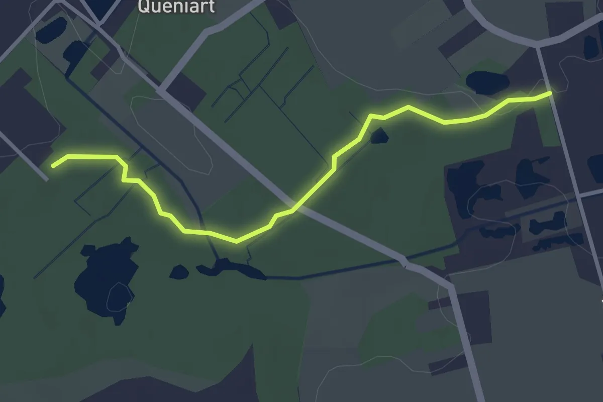
Easy · Trail
Sentier de Bellenville
2.7 km · ↑ 16 m · 40 min
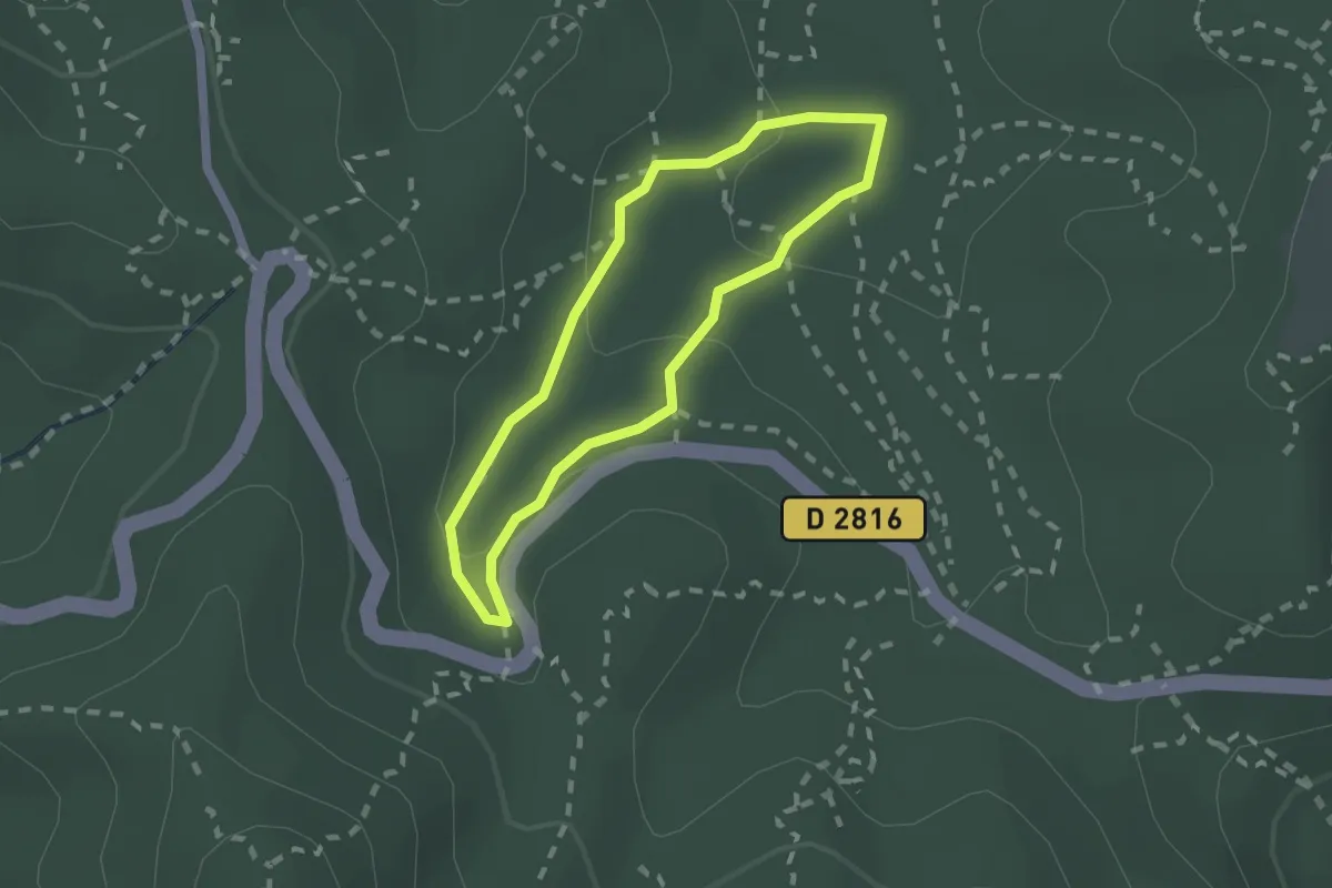
Easy · Trail
Sentier de Belle Pierre
1.7 km · ↑ 61 m · 33 min
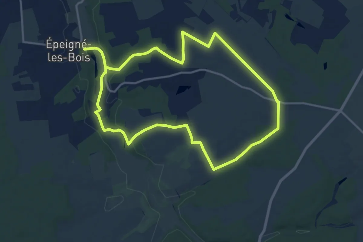
Medium · Trail
Sentier de Bellevue - Épeigné-les-Bois
9.0 km · ↑ 85 m · 2 h 26 min
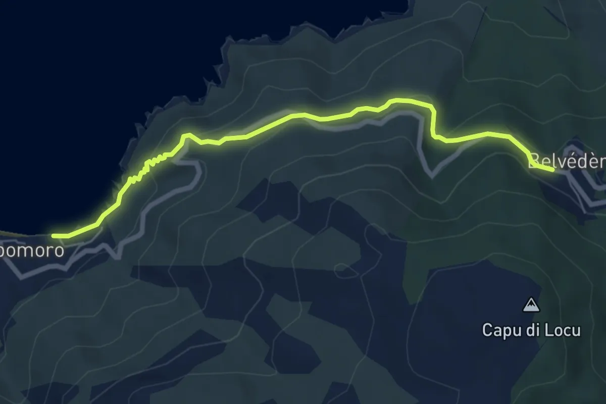
Easy · Trail
Sentier de Belvédère à Campomoro
6.4 km · ↑ 307 m · 2 h 11 min
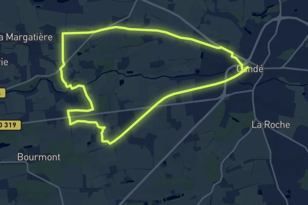
Medium · Trail
Sentier de Bennefraye
11.5 km · ↑ 64 m · 3 h 1 min
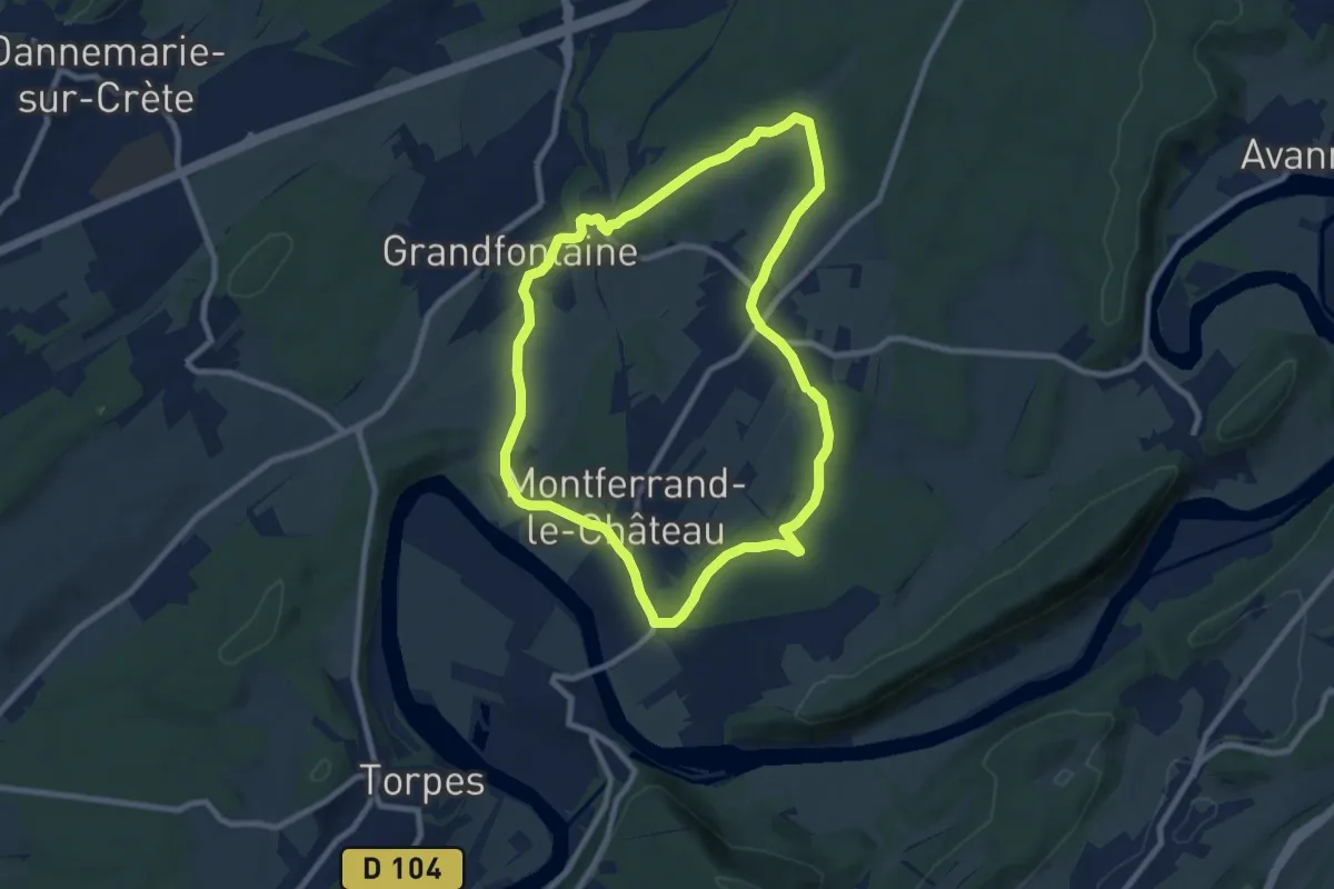
Medium · Trail
Sentier de Béthanier-la-Marne
8.3 km · ↑ 102 m · 2 h 18 min
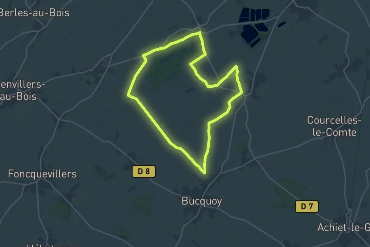
Medium · Trail
Sentier de Bois d'Adinfer
15.6 km · ↑ 127 m · 4 h 10 min
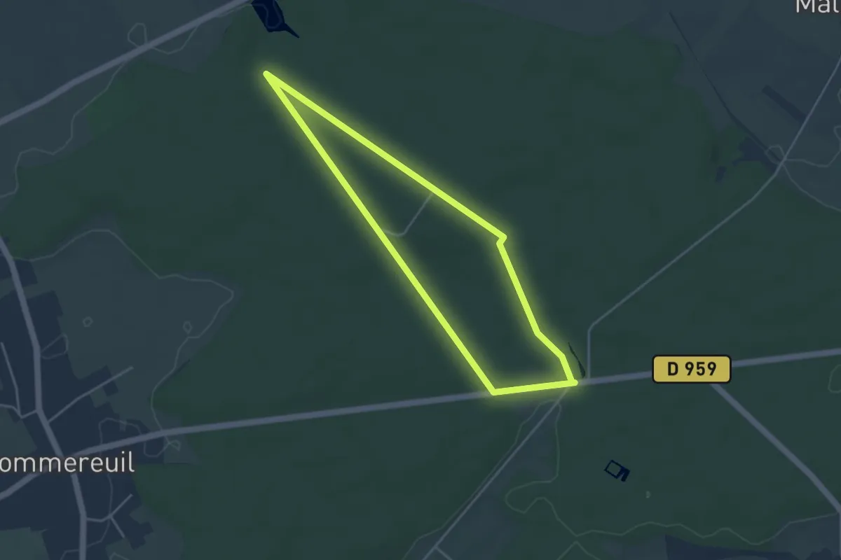
Easy · Trail
Sentier de Bois l'Évêque
3.5 km · ↑ 18 m · 55 min
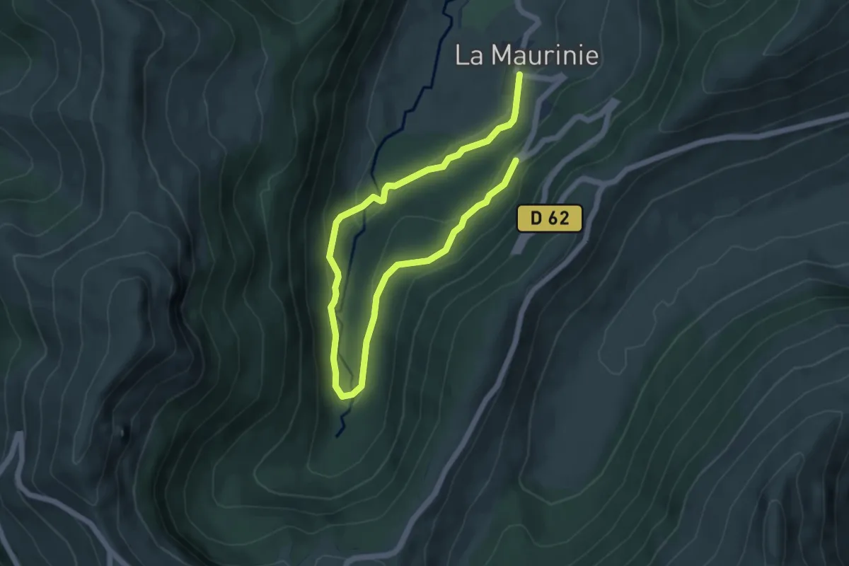
Easy · Trail
Sentier de Bois Mary
7.6 km · ↑ 189 m · 2 h 12 min
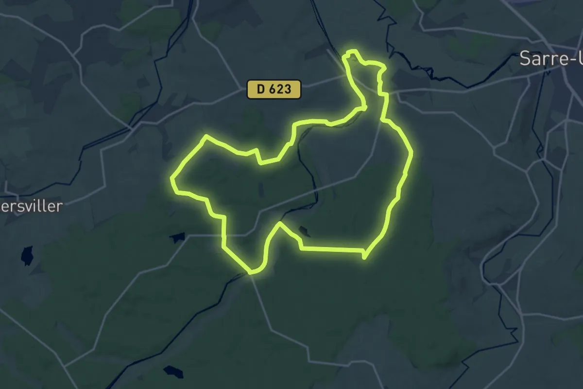
Medium · Trail
Sentier de Bonnefontaine
17.5 km · ↑ 207 m · 4 h 49 min
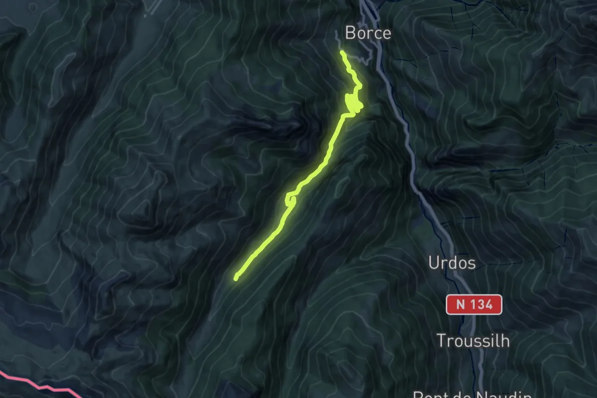
Demanding · Trail
Sentier de Borce à Belonce PNP
12.8 km · ↑ 934 m · 5 h 3 min
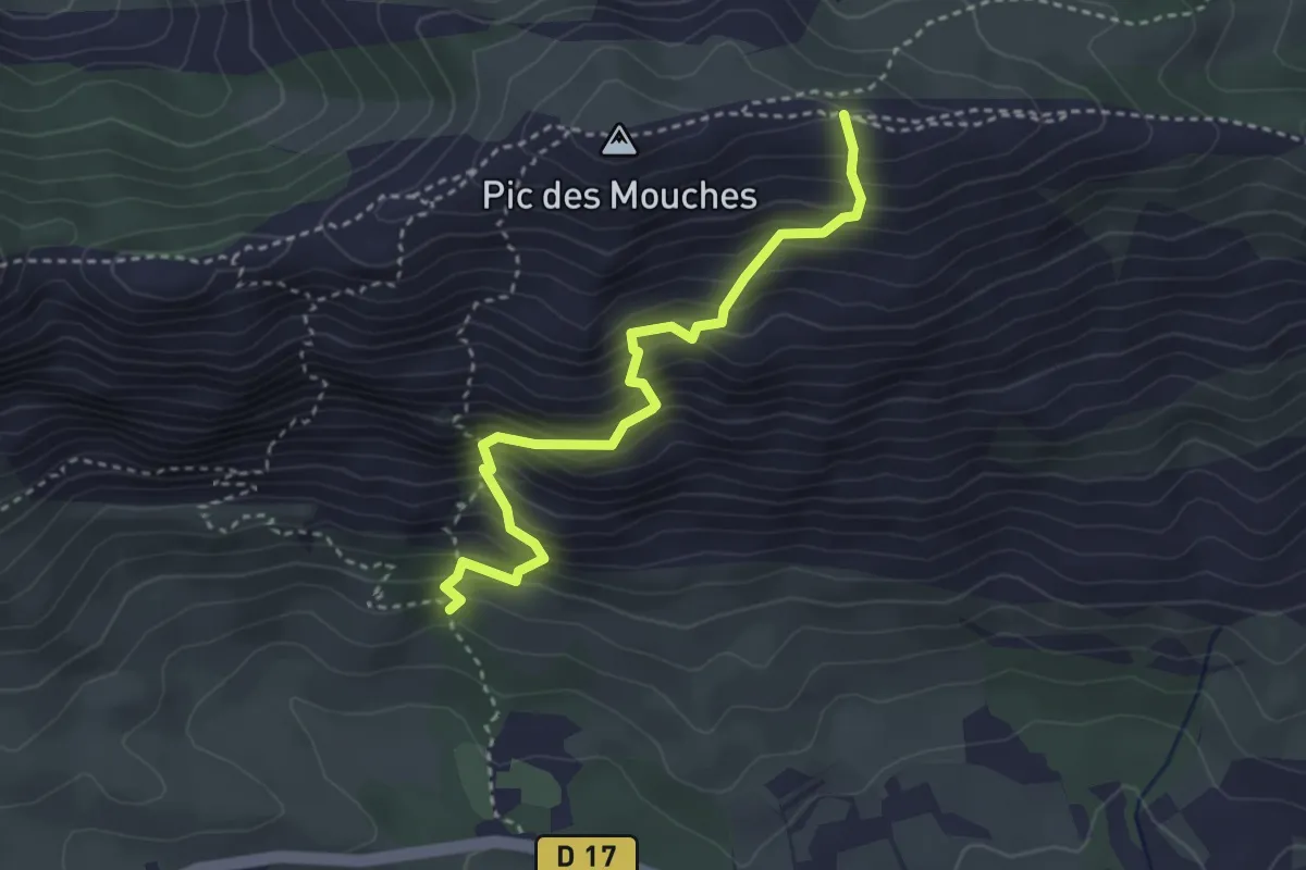
Demanding · Trail
Sentier de Bramefan
3.5 km · ↑ 523 m · 1 h 58 min
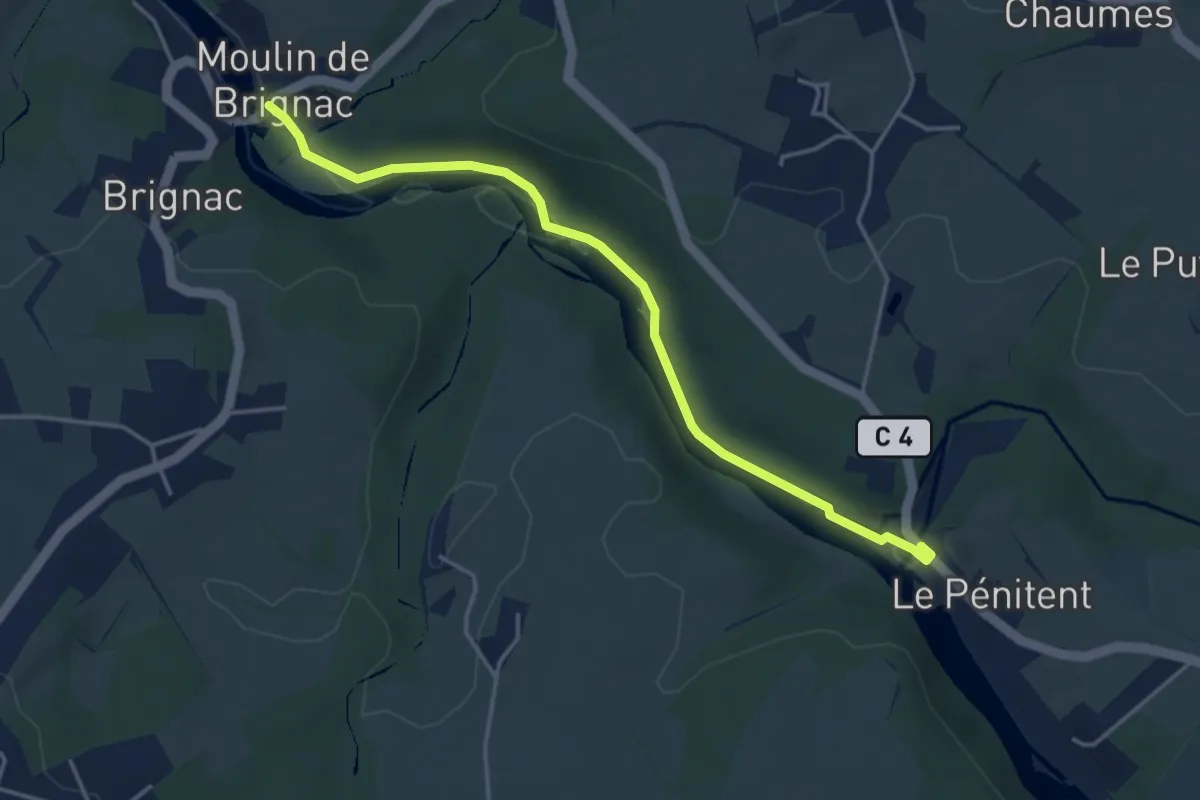
Easy · Trail
Sentier de Brignac au Moulin du Got
4.2 km · ↑ 33 m · 1 h 4 min
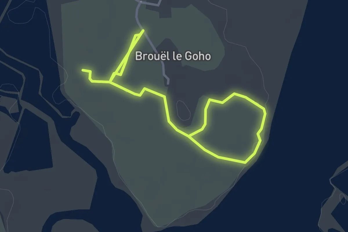
Easy · Trail
Sentier de Brouel le Goho
4.2 km · ↑ 0 m · 59 min
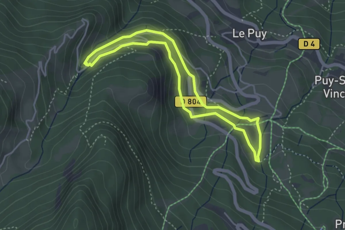
Medium · Trail
Sentier de Canaux
3.4 km · ↑ 149 m · 1 h 10 min
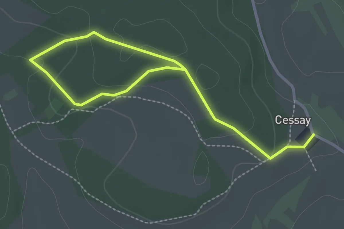
Easy · Trail
Sentier de Cessay
3.3 km · ↑ 66 m · 55 min
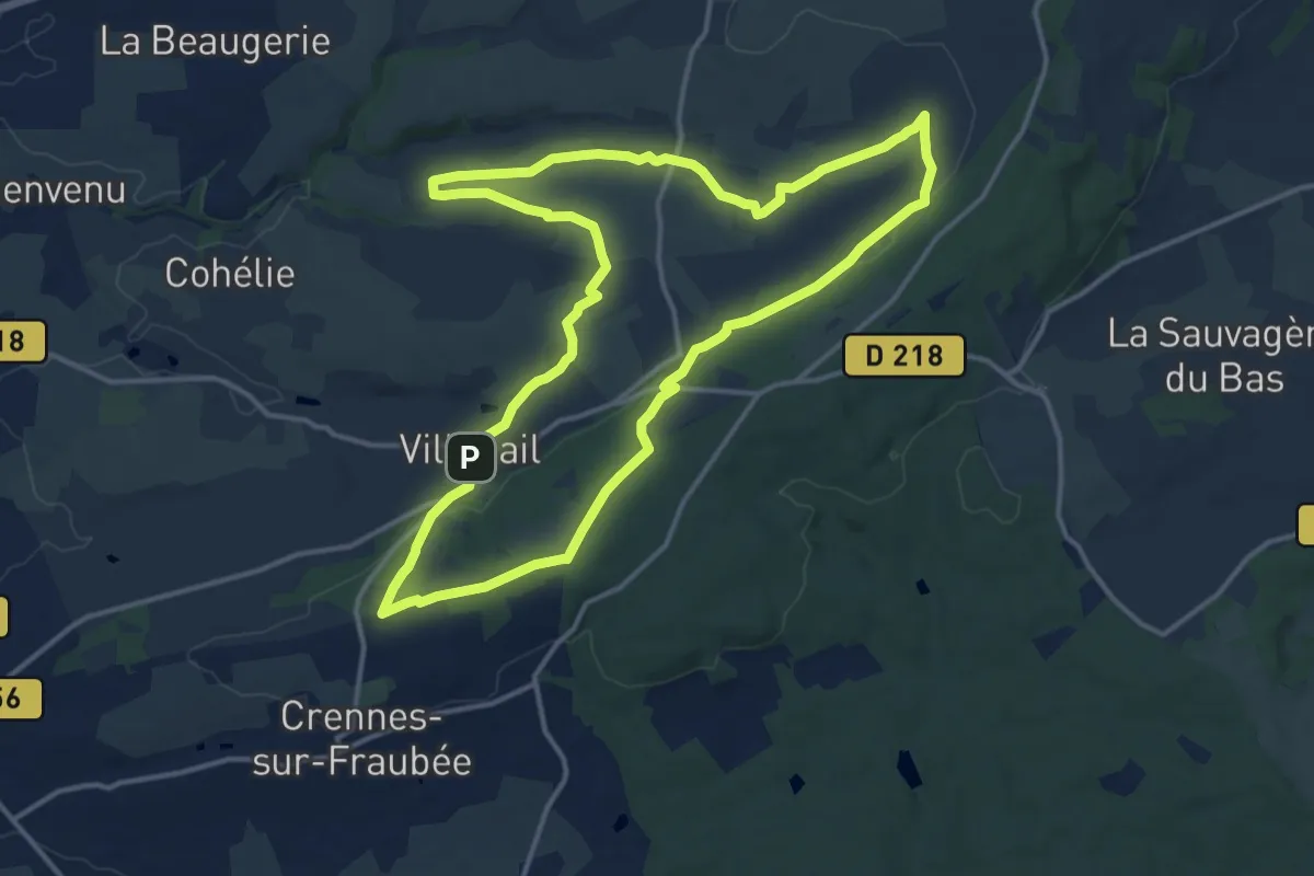
Medium · Summit
Sentier de Chapelle du Bon Secours
14.1 km · ↑ 200 m · 3 h 57 min
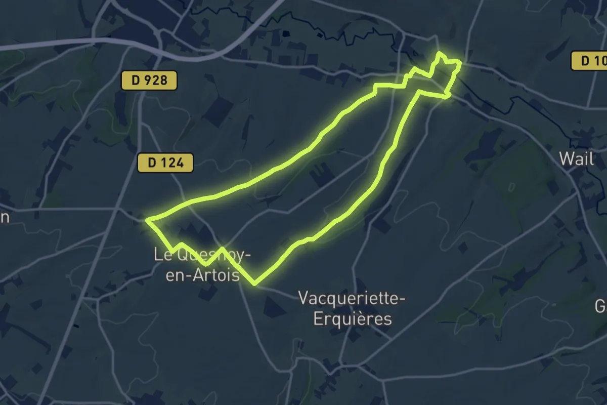
Medium · Trail
Sentier de Charles Quint
13.0 km · ↑ 120 m · 3 h 30 min
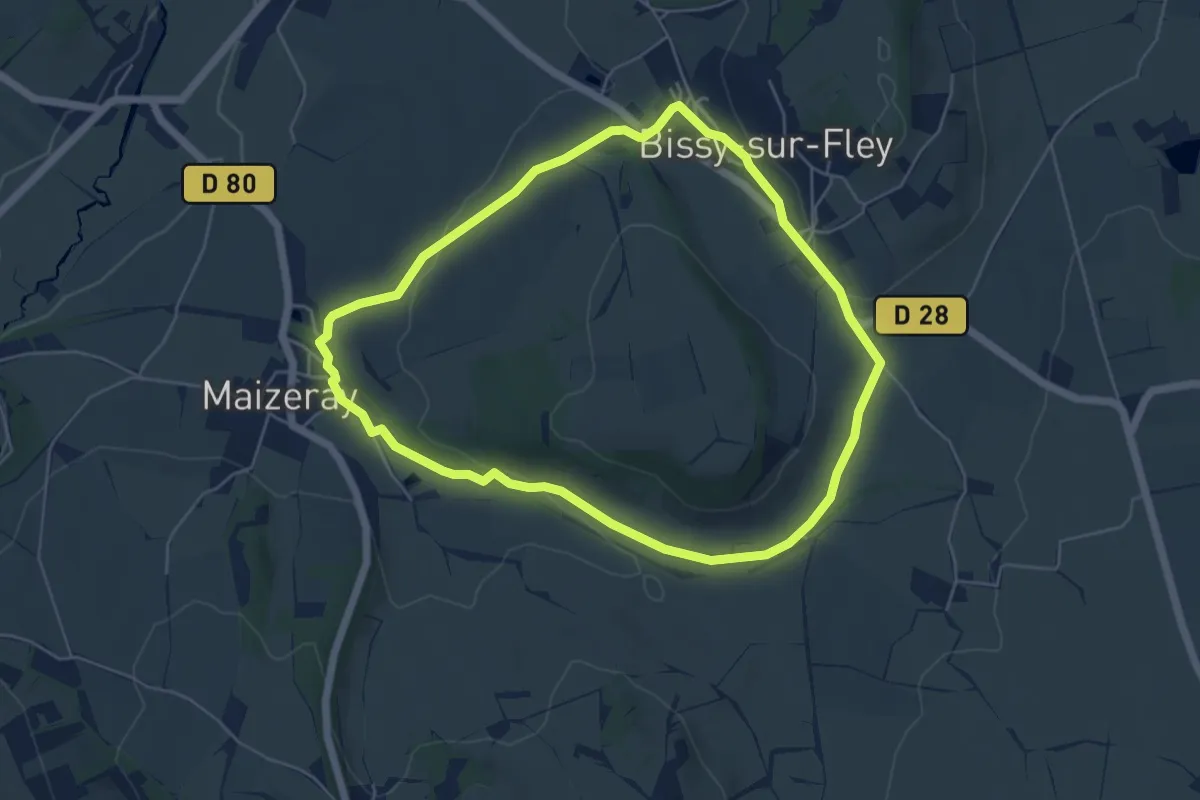
Easy · Trail
Sentier de Chemin de Fer
5.2 km · ↑ 77 m · 1 h 29 min
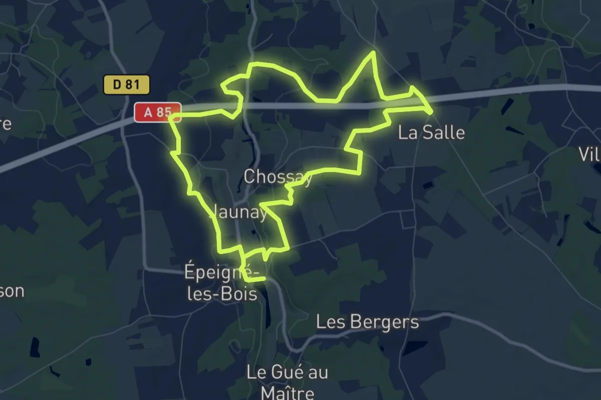
Medium · Trail
Sentier de Chossay - Épeigné-les-Bois
9.1 km · ↑ 104 m · 2 h 29 min
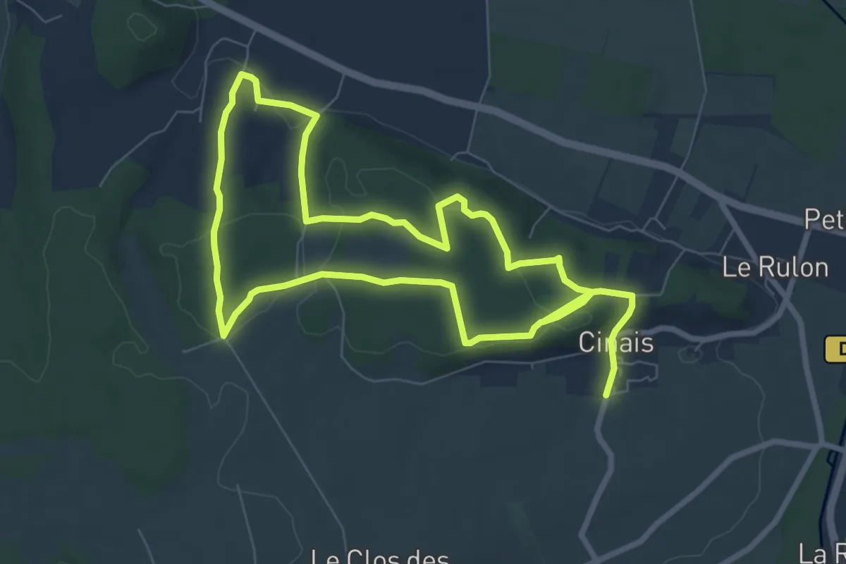
Medium · Trail
Sentier de Cinais
13.7 km · ↑ 212 m · 3 h 42 min
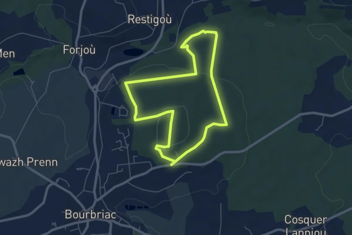
Easy · Trail
Sentier de Coat Liou
4.8 km · ↑ 96 m · 1 h 25 min
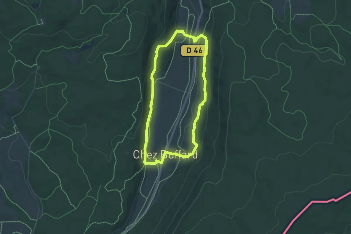
Easy · Trail
Sentier de Combe des Cives
4.9 km · ↑ 175 m · 1 h 37 min
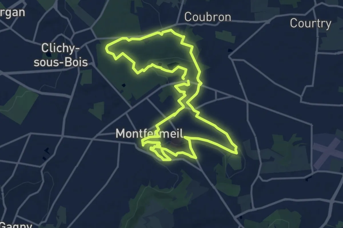
Medium · Trail
Sentier de Cosette
11.3 km · ↑ 122 m · 3 h 5 min
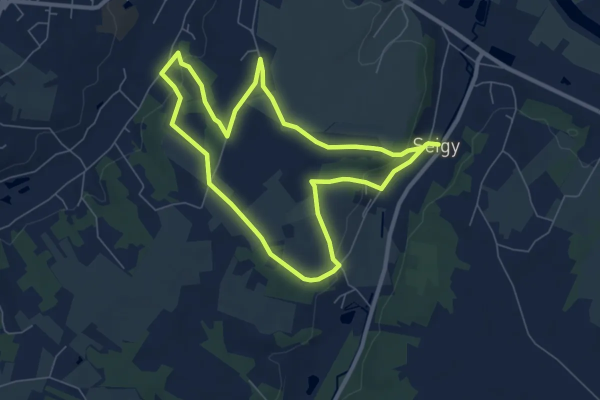
Easy · Trail
Sentier de Coupe-Gorge
6.0 km · ↑ 97 m · 1 h 42 min
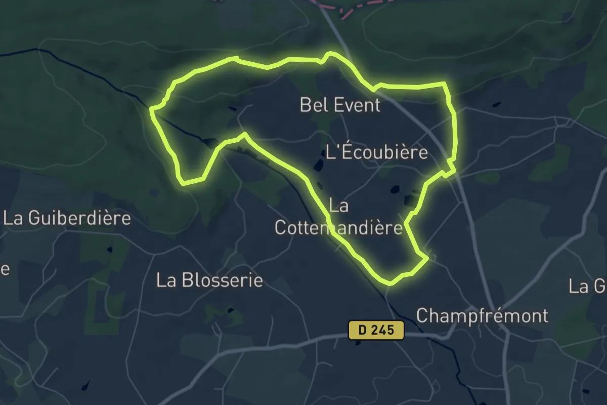
Easy · Trail
Sentier de Courtemiche
7.2 km · ↑ 169 m · 2 h 9 min
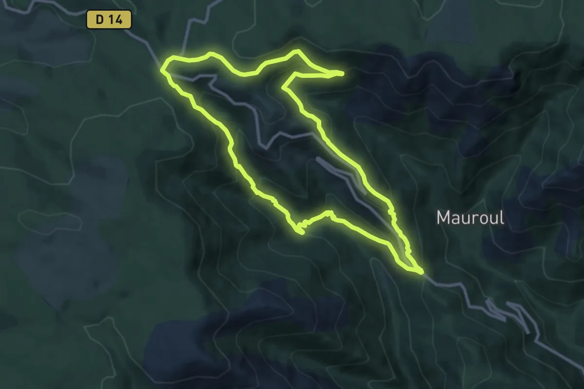
Medium · Trail
Sentier de Coustorgues
9.1 km · ↑ 448 m · 3 h 15 min
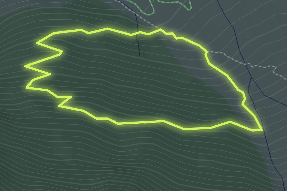
Medium · Trail
sentier découverte
2.4 km · ↑ 157 m · 56 min