Trails in France
15,906 hiking trails, each with its route, climb, walking time and grade.
All trails, page 25 of 332
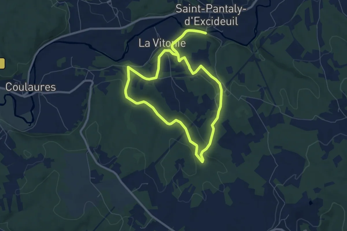
Easy · Trail
Boucle des Causses Verts
7.0 km · ↑ 145 m · 2 h 4 min
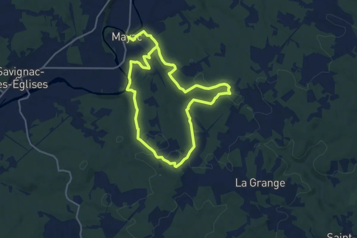
Demanding · Trail
Boucle des Chambrettes
18.9 km · ↑ 344 m · 5 h 12 min
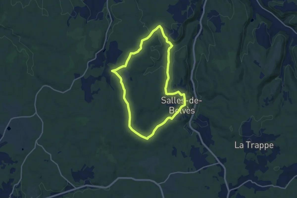
Medium · Trail
Boucle des Châtaigniers
11.0 km · ↑ 156 m · 3 h 5 min
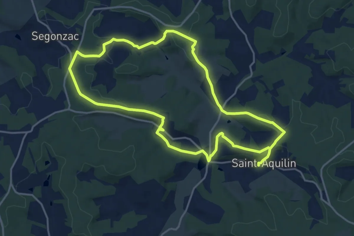
Demanding · Trail
Boucle des Châteaux
22.4 km · ↑ 566 m · 6 h 31 min
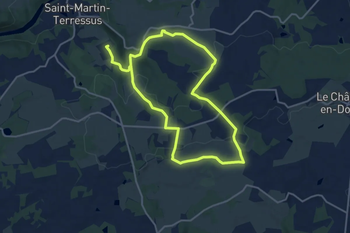
Demanding · Trail
Boucle des Châteaux
18.1 km · ↑ 294 m · 4 h 54 min
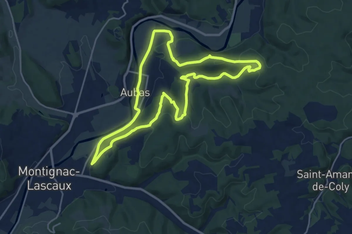
Medium · Trail
Boucle des Châteaux
13.7 km · ↑ 310 m · 4 h 5 min
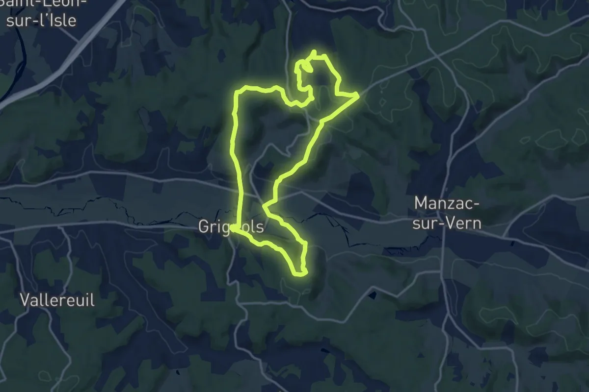
Medium · Trail
Boucle des Chaulnes
13.1 km · ↑ 333 m · 4 h
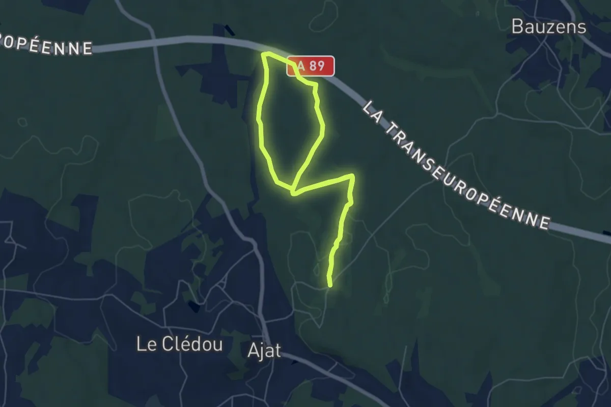
Easy · Trail
Boucle des Chauprades
5.0 km · ↑ 45 m · 1 h 21 min
Easy · Trail
Boucle d'Escherange
7.6 km · ↑ 149 m · 2 h 14 min
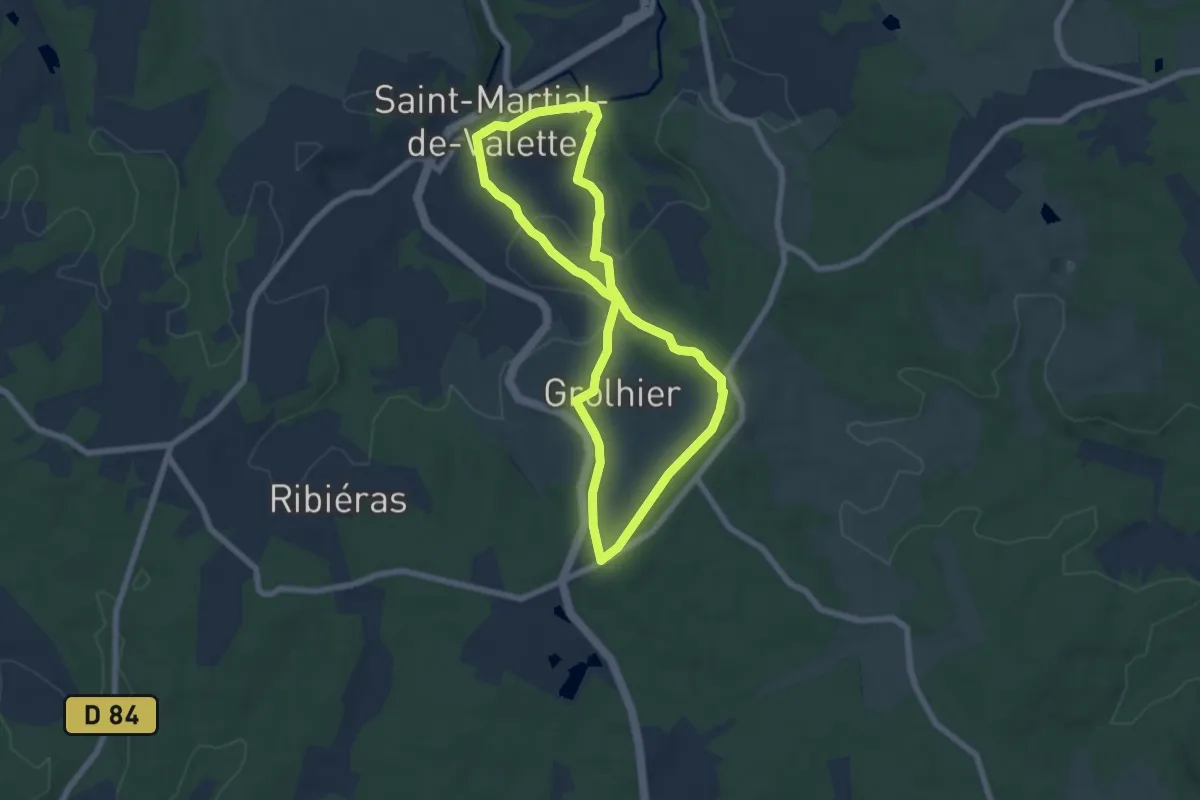
Easy · Trail
Boucle des Cimes
6.3 km · ↑ 124 m · 1 h 51 min
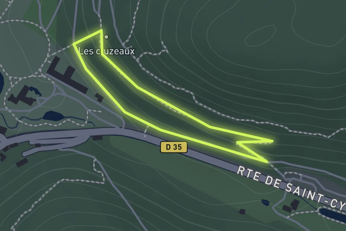
Easy · Trail
Boucle des Cluzeaux
1.0 km · ↑ 35 m · 20 min
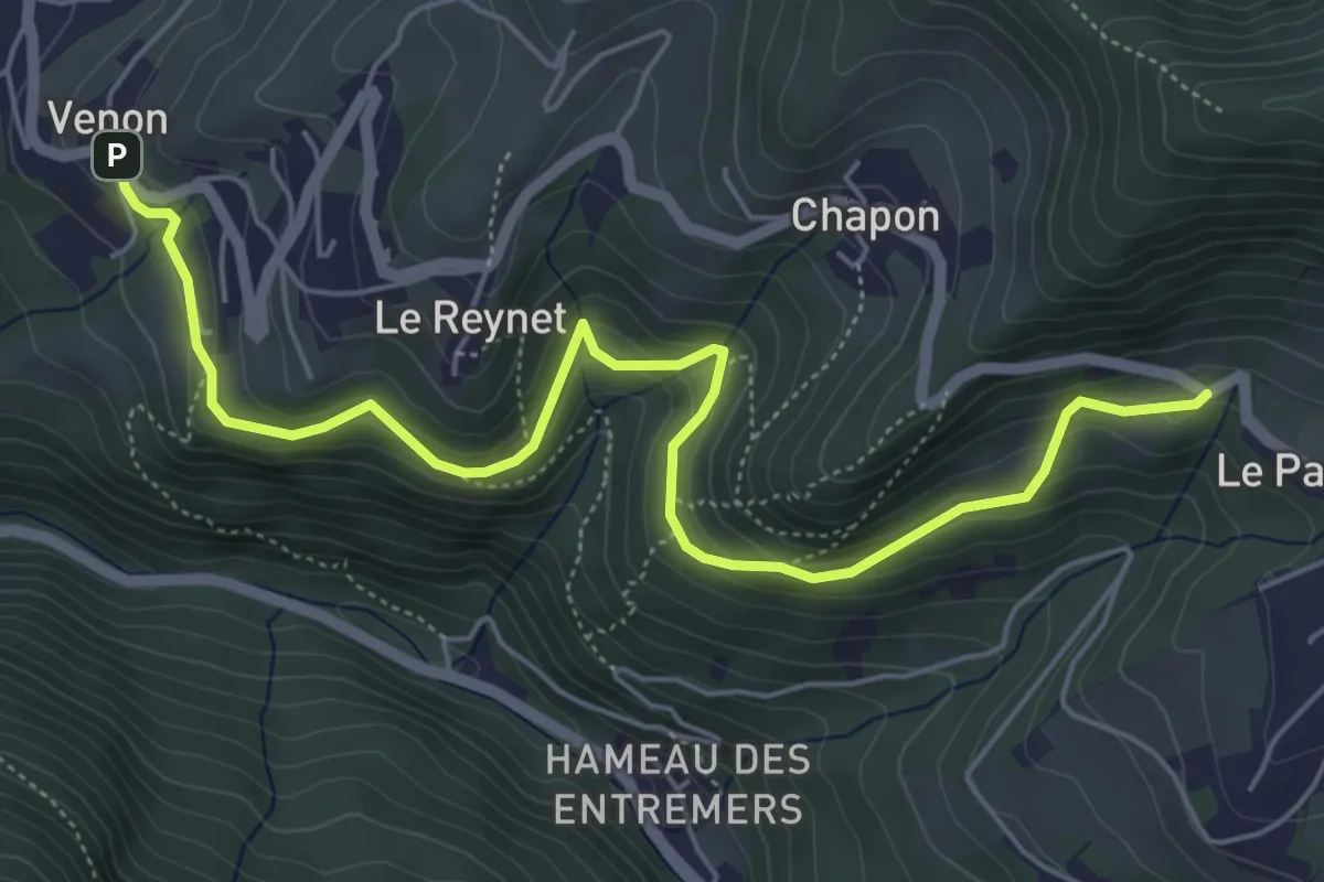
Easy · Trail
Boucle Des Cochettes
3.3 km · ↑ 270 m · 1 h 20 min
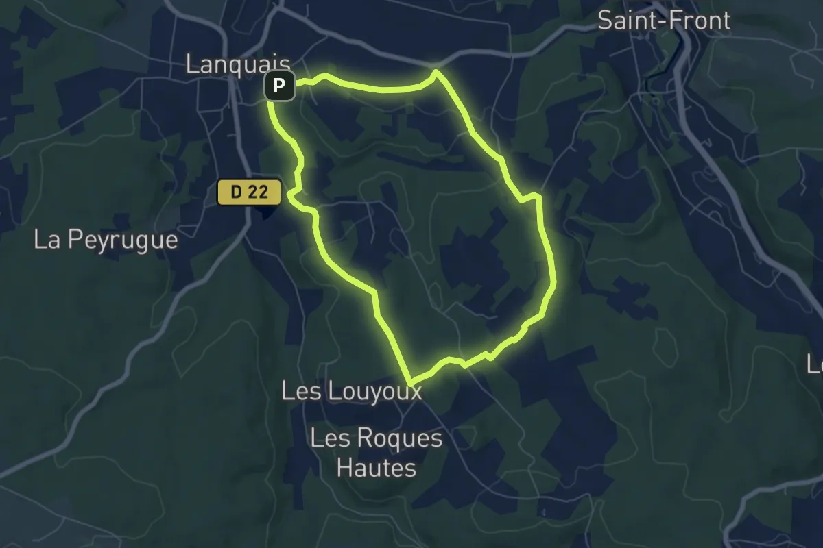
Easy · Trail
Boucle des coteaux
6.2 km · ↑ 109 m · 1 h 48 min
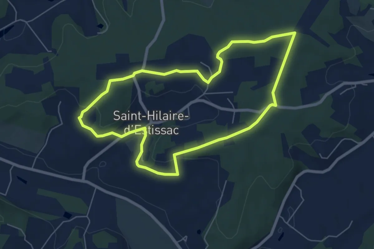
Easy · Trail
Boucle des Coteaux Crempsois
5.5 km · ↑ 84 m · 1 h 34 min
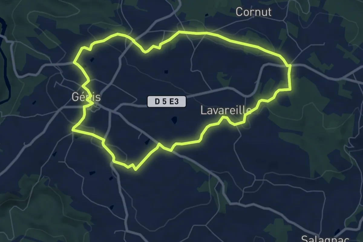
Easy · Summit
Boucle des Côteaux et des Gorges
7.5 km · ↑ 125 m · 2 h 8 min
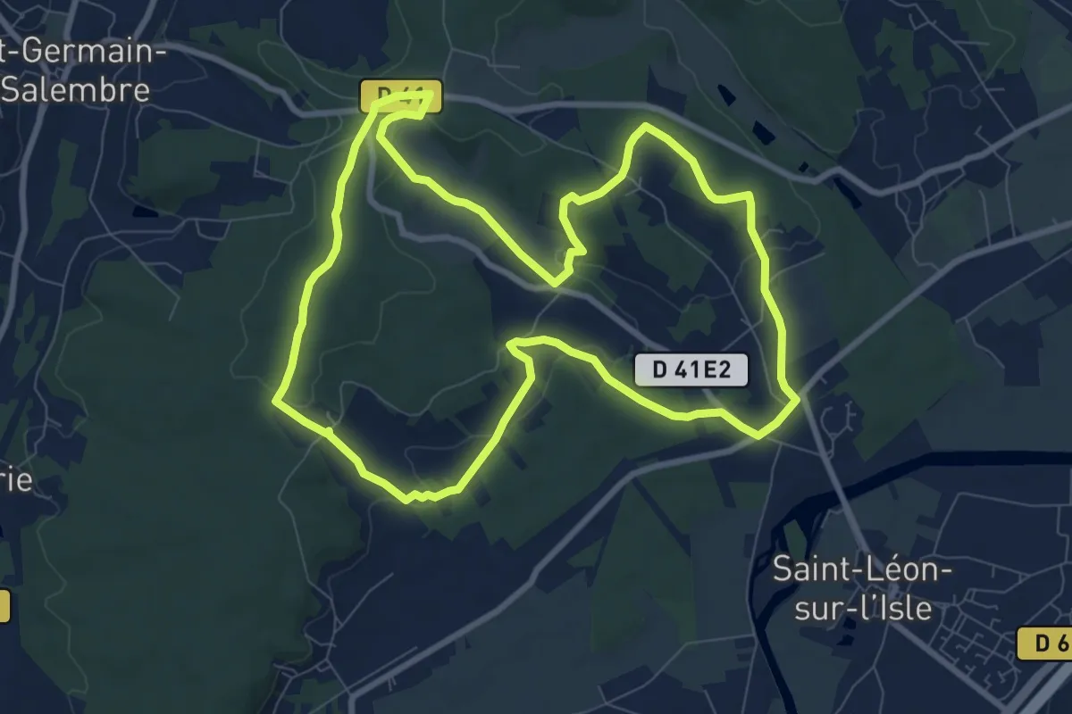
Medium · Trail
Boucle des Coteaux Nord
9.3 km · ↑ 146 m · 2 h 39 min
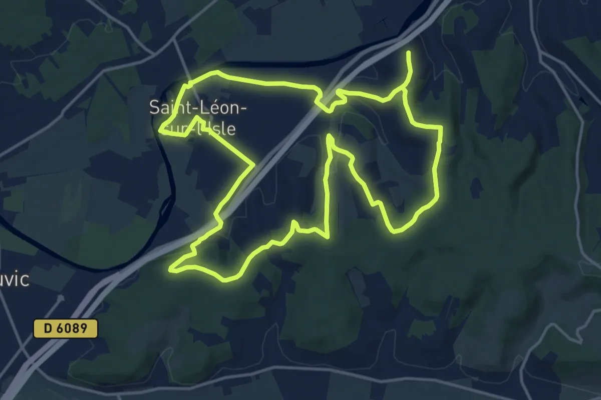
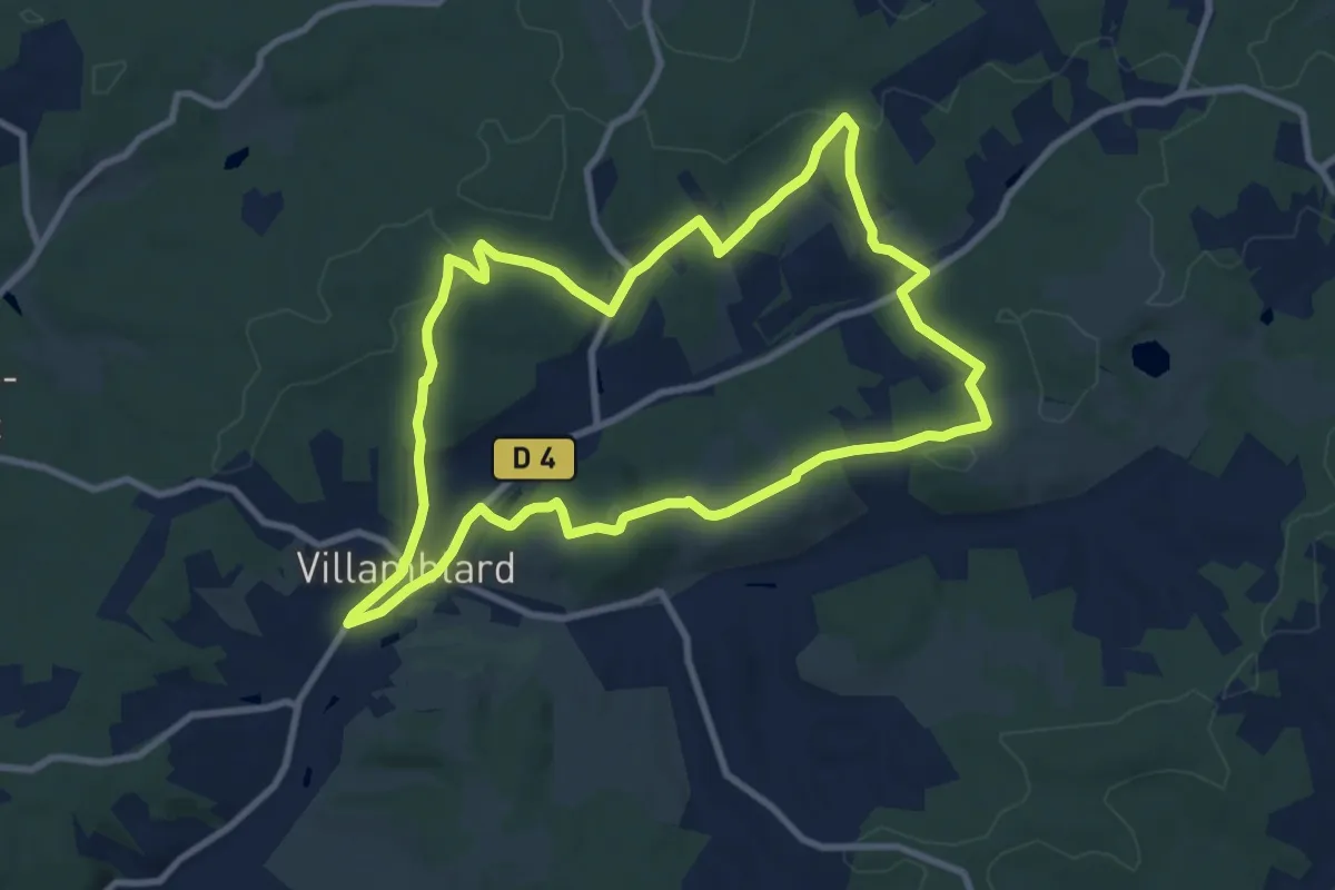
Demanding · Trail
Boucle des Coteaux Sud
28.4 km · ↑ 532 m · 7 h 51 min
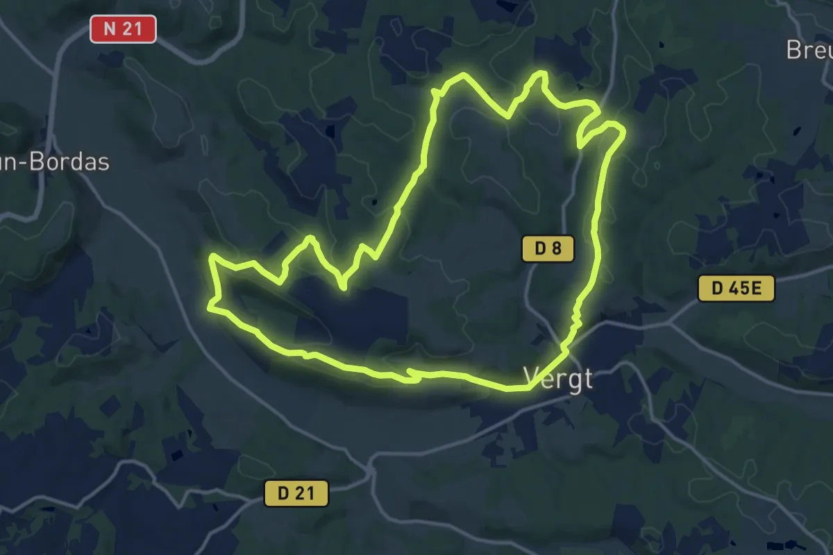
Medium · Trail
Boucle des crètes
9.7 km · ↑ 190 m · 2 h 50 min
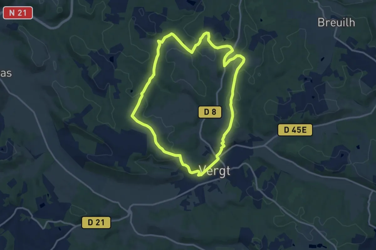
Medium · Trail
Boucle des Crêtes
15.3 km · ↑ 329 m · 4 h 32 min
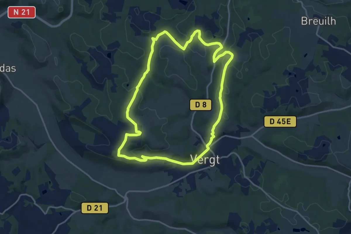
Medium · Trail
Boucle des crêtes (Variante 1)
10.6 km · ↑ 199 m · 3 h 6 min
Medium · Trail
Boucle des crêtes (Variante 2)
12.0 km · ↑ 208 m · 3 h 28 min
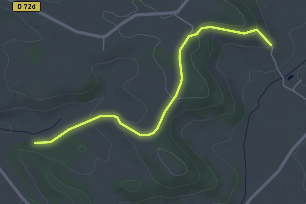
Easy · Trail
boucle des cuestas
4.6 km · ↑ 101 m · 1 h 18 min
Easy · Trail
Boucle des deux départements
5.6 km · ↑ 33 m · 1 h 29 min
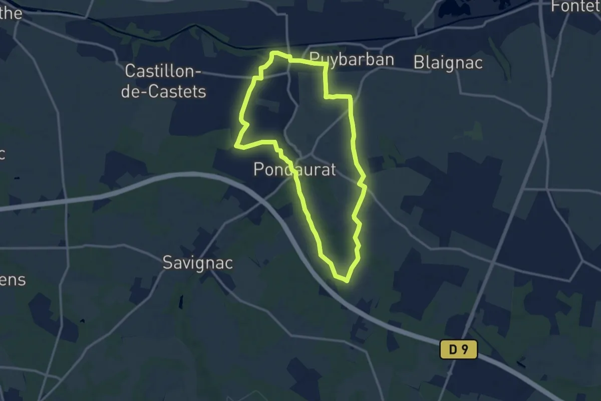
Medium · Trail
Boucle des Deux Églises
10.6 km · ↑ 85 m · 2 h 50 min
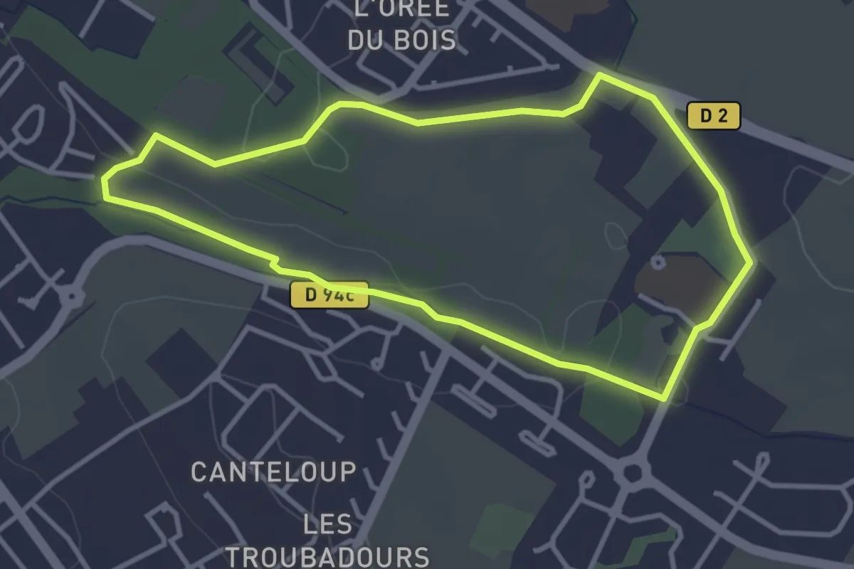
Easy · Trail
Boucle des Deux Fontaines
3.3 km · ↑ 21 m · 53 min
Medium · Trail
Boucle des Deux Plateaux
14.9 km · ↑ 260 m · 4 h 4 min
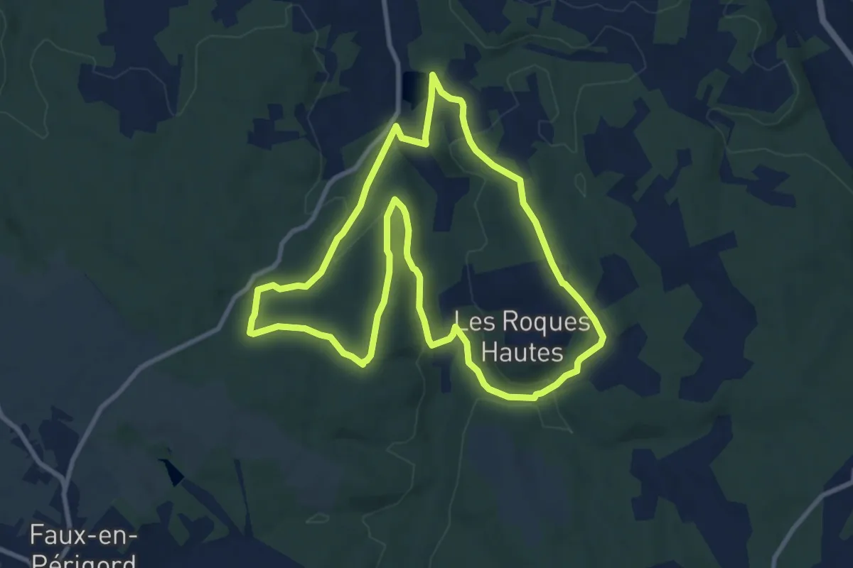
Medium · Trail
Boucle des eaux
9.3 km · ↑ 194 m · 2 h 44 min
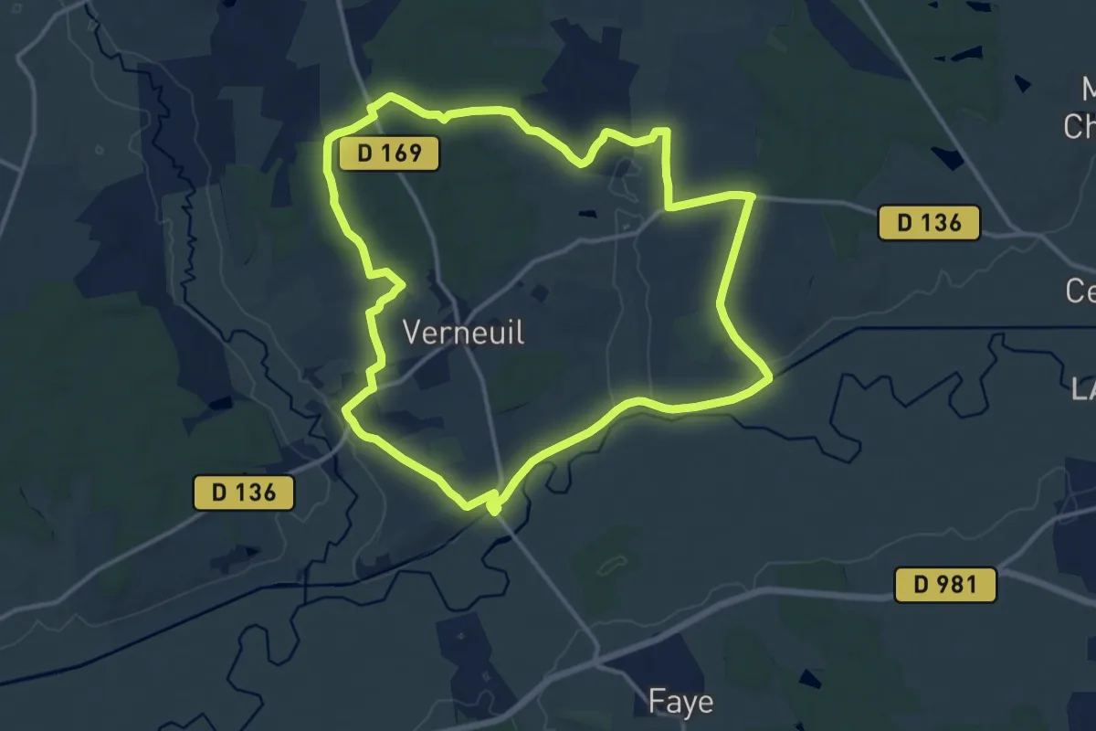
Medium · Trail
boucle des Échards
13.6 km · ↑ 188 m · 3 h 49 min
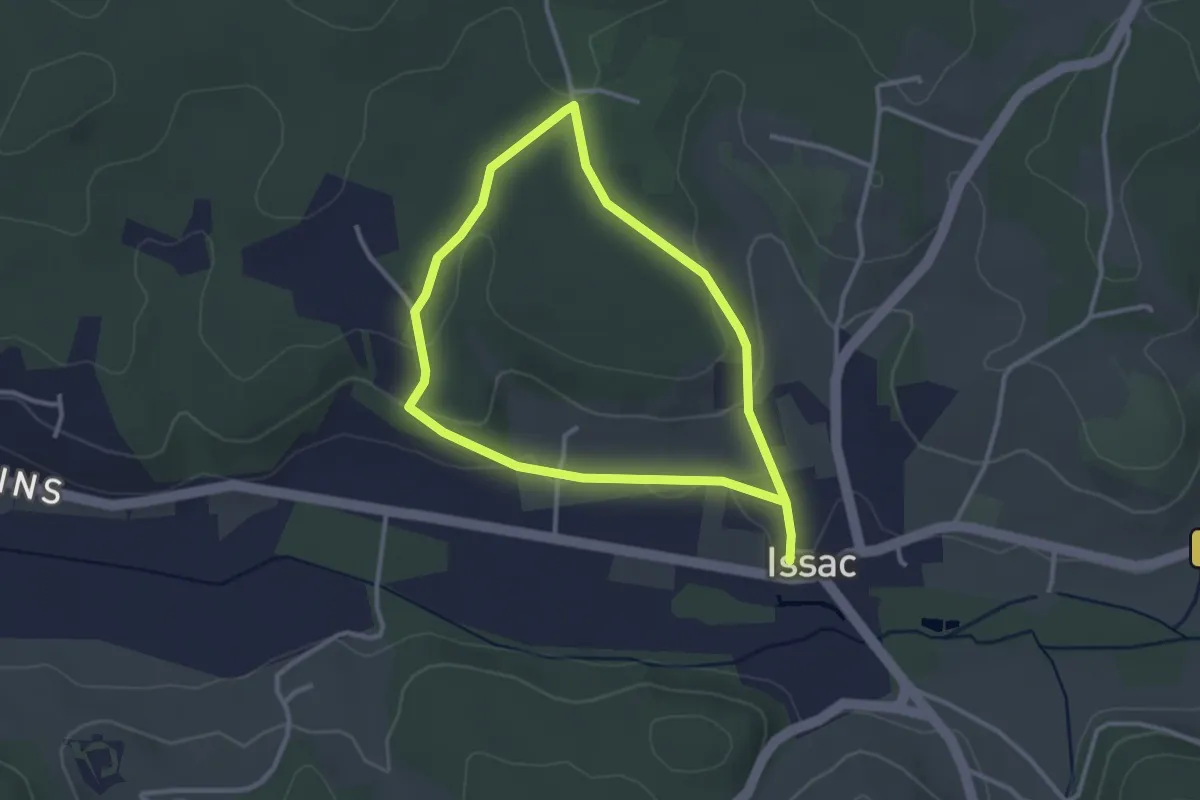
Easy · Trail
Boucle des écoliers
2.8 km · ↑ 59 m · 49 min
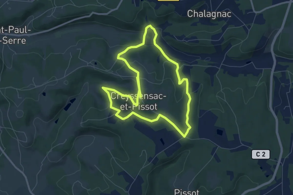
Medium · Trail
Boucle des écureuils
14.3 km · ↑ 312 m · 4 h 3 min
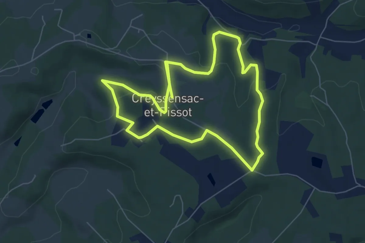
Medium · Trail
Boucle des écureuils (Variante)
11.9 km · ↑ 247 m · 3 h 20 min
Medium · Trail
Boucle des Eglantiers
13.8 km · ↑ 273 m · 4 h 2 min
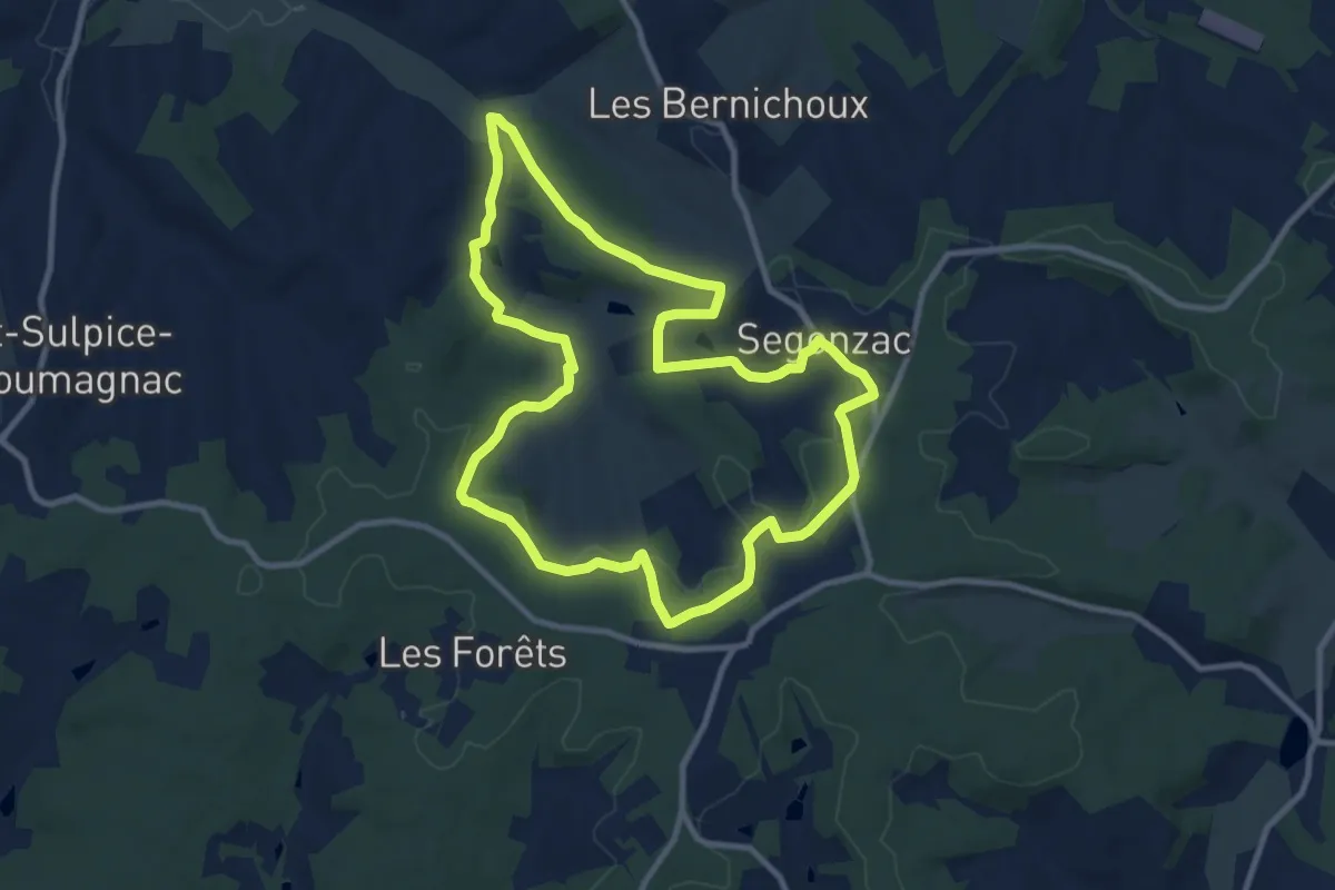
Medium · Trail
Boucle de Ségonzac
10.3 km · ↑ 204 m · 3 h
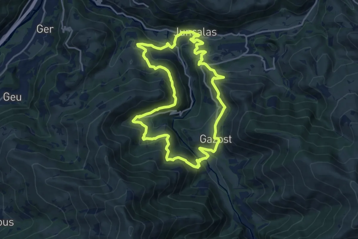
Medium · Trail
Boucle des Enfers
13.2 km · ↑ 643 m · 4 h 41 min
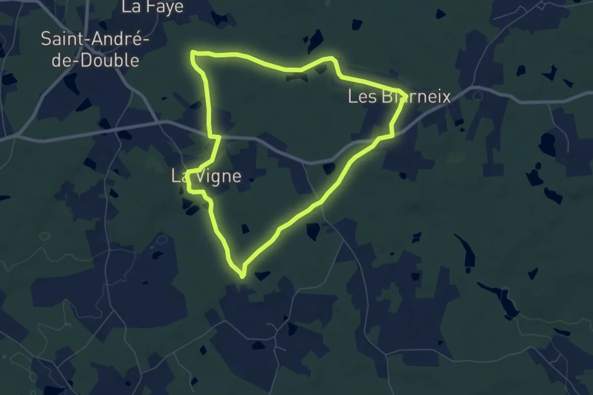
Easy · Trail
Boucle des étangs
7.0 km · ↑ 58 m · 1 h 52 min
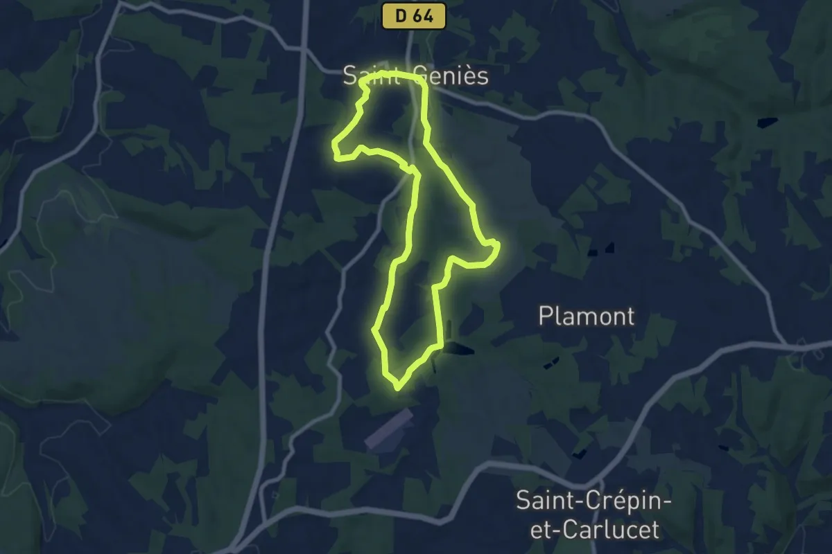
Easy · Trail
Boucle des Étangs
7.7 km · ↑ 128 m · 2 h 12 min
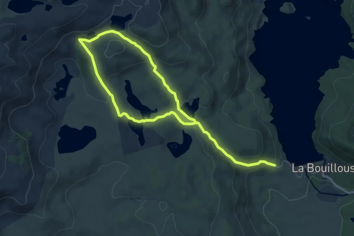
Medium · Trail
Boucle des etangs du Carlit (variante 9 lacs)
5.1 km · ↑ 96 m · 1 h 33 min
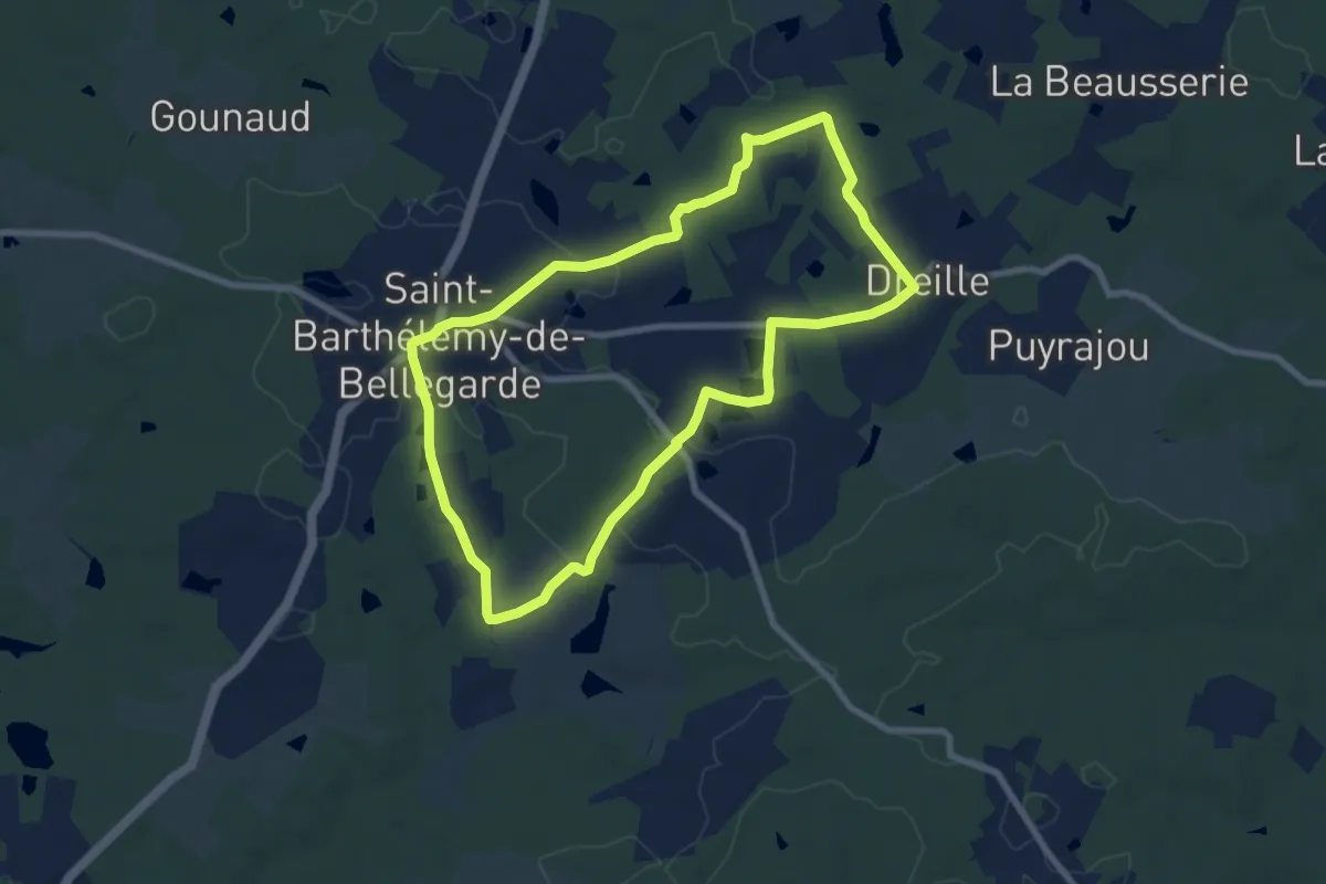
Medium · Trail
Boucle des étangs du Jard
8.0 km · ↑ 99 m · 2 h 13 min
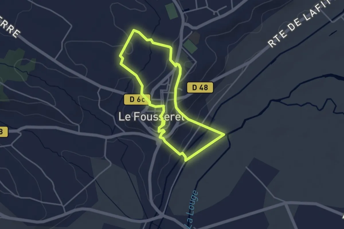
Easy · Trail
Boucle des Fontaines
3.2 km · ↑ 82 m · 58 min
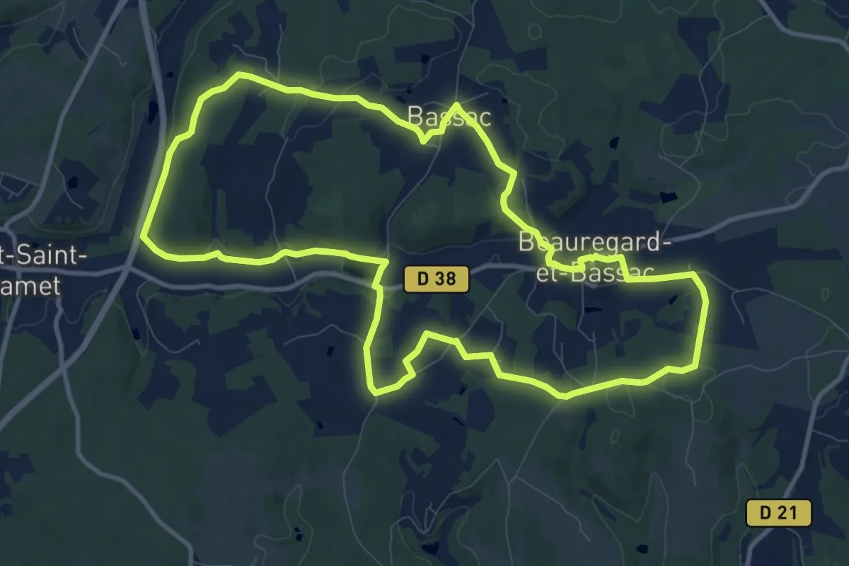
Medium · Trail
Boucle des Fontaines
11.0 km · ↑ 164 m · 3 h 7 min
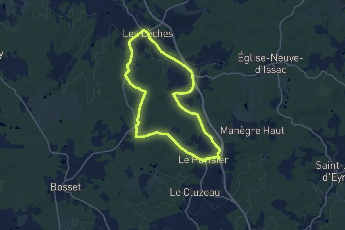
Medium · Trail
Boucle des Fontaines
11.5 km · ↑ 119 m · 3 h 8 min
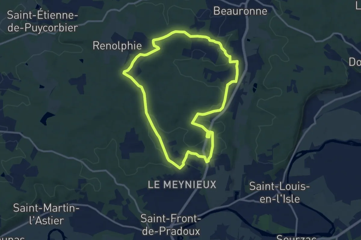
Medium · Trail
Boucle des Fontanelles
9.8 km · ↑ 127 m · 2 h 43 min
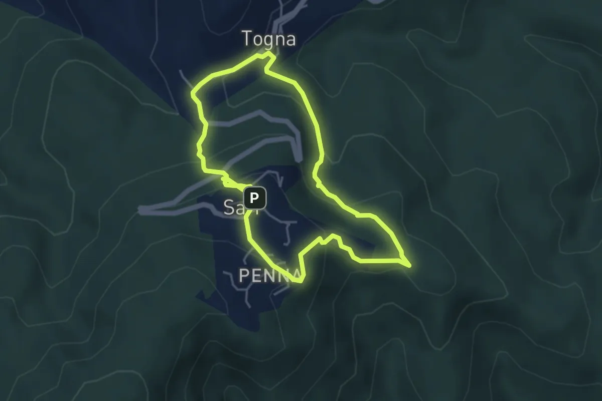
Medium · Trail
Boucle des Fours à Chaux
4.1 km · ↑ 191 m · 1 h 27 min
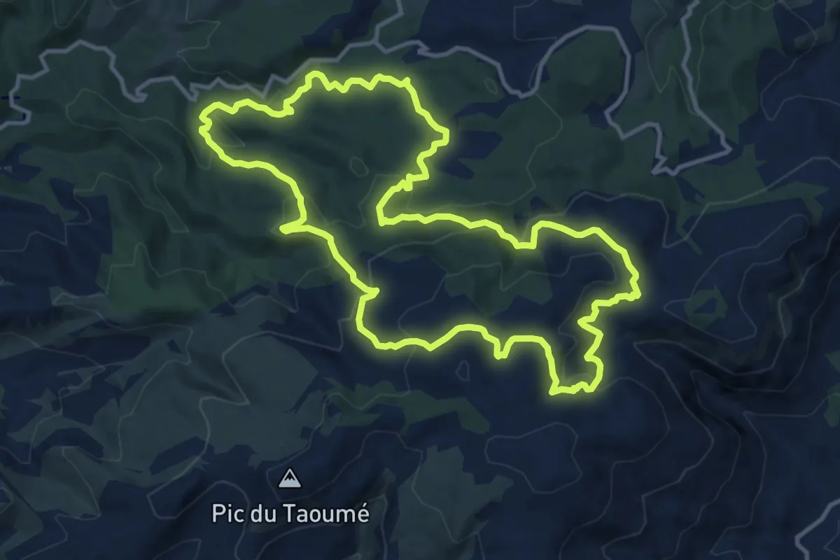
Medium · Trail
Boucle des Grands Ubacs
12.9 km · ↑ 511 m · 4 h 20 min
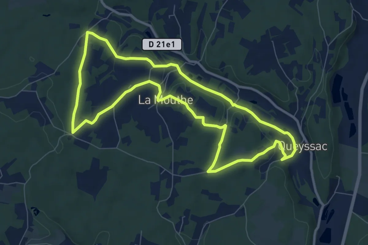
Easy · Trail
Boucle des hameaux
8.0 km · ↑ 147 m · 2 h 19 min
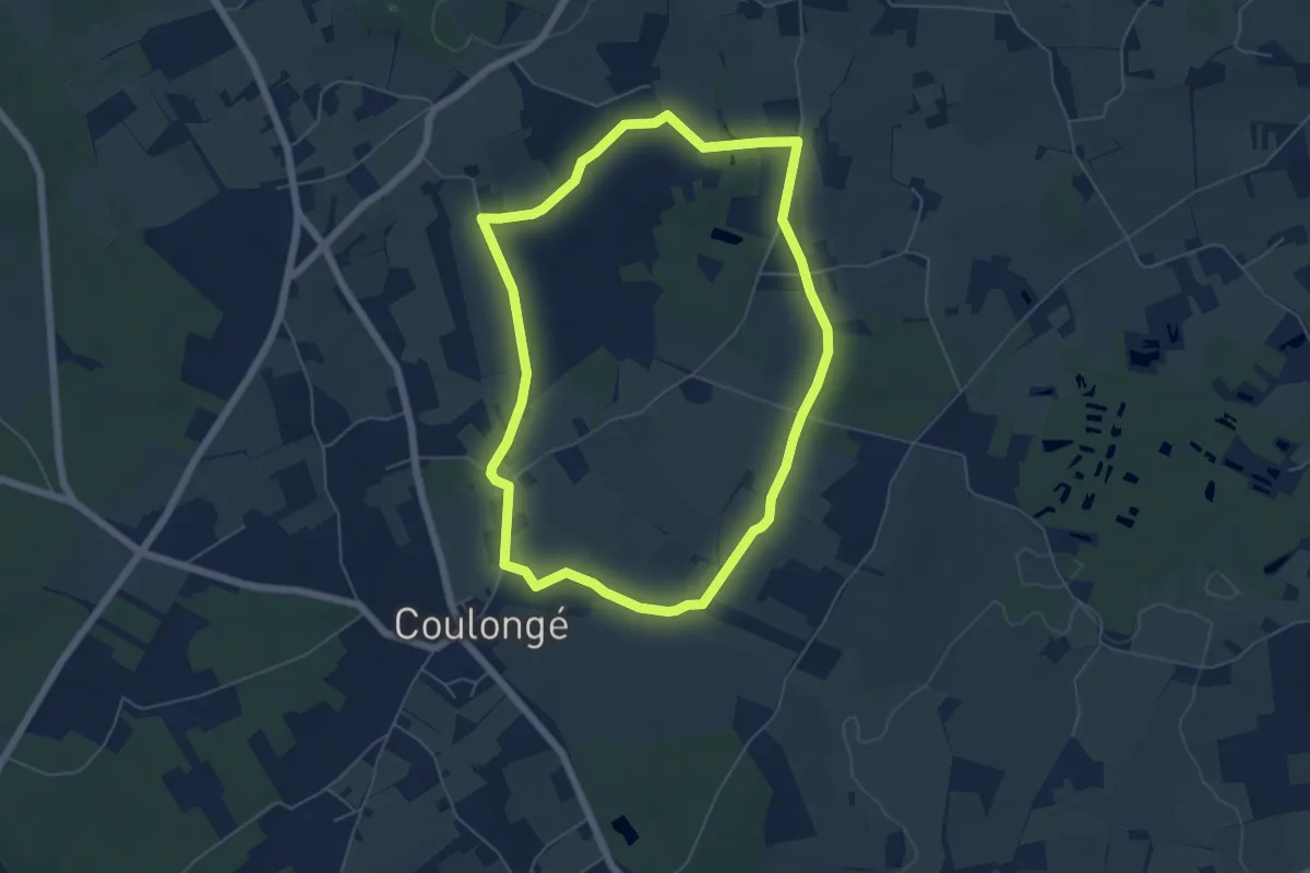
Easy · Trail
Boucle des hameaux
5.6 km · ↑ 38 m · 1 h 29 min
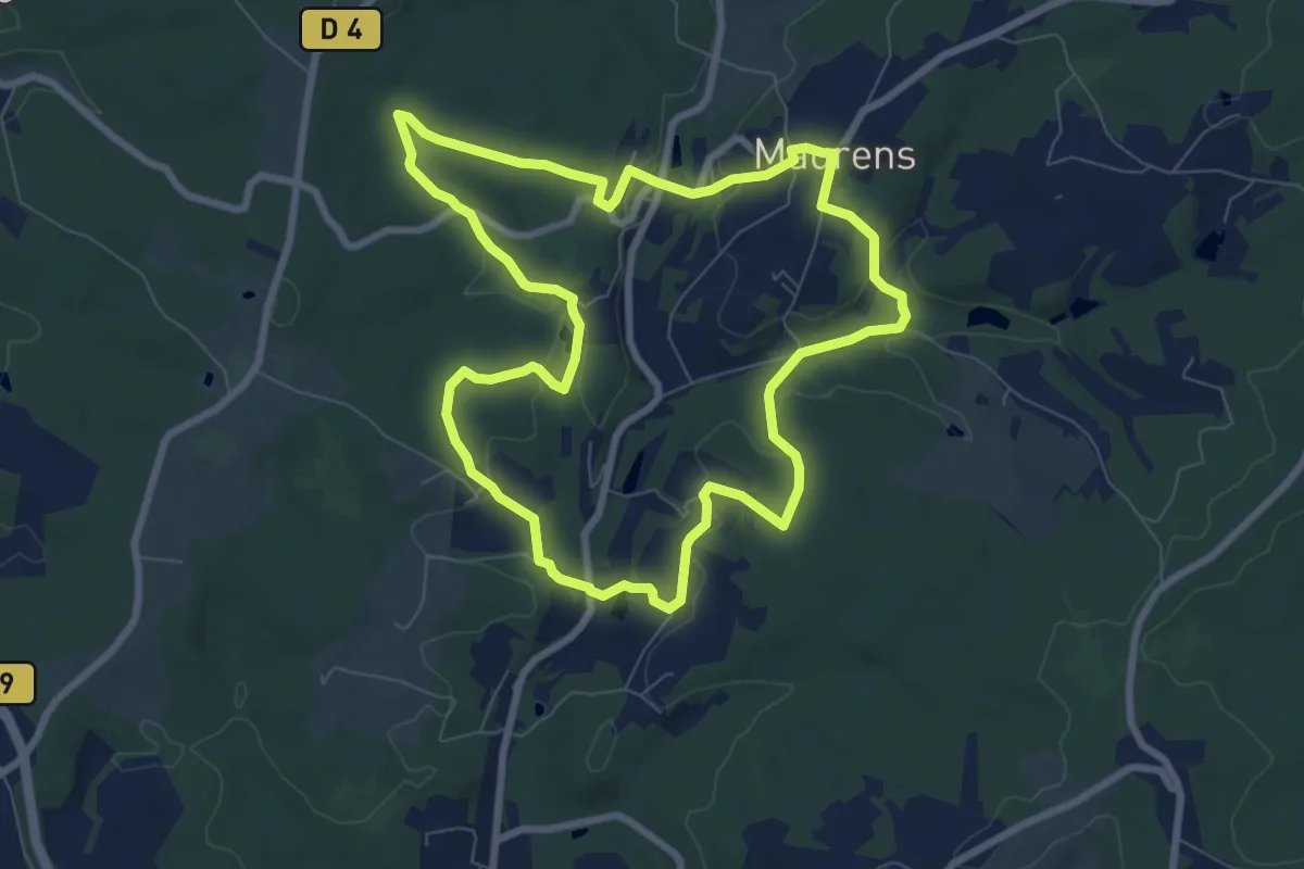
Medium · Trail
Boucle des Hameaux
8.2 km · ↑ 162 m · 2 h 23 min
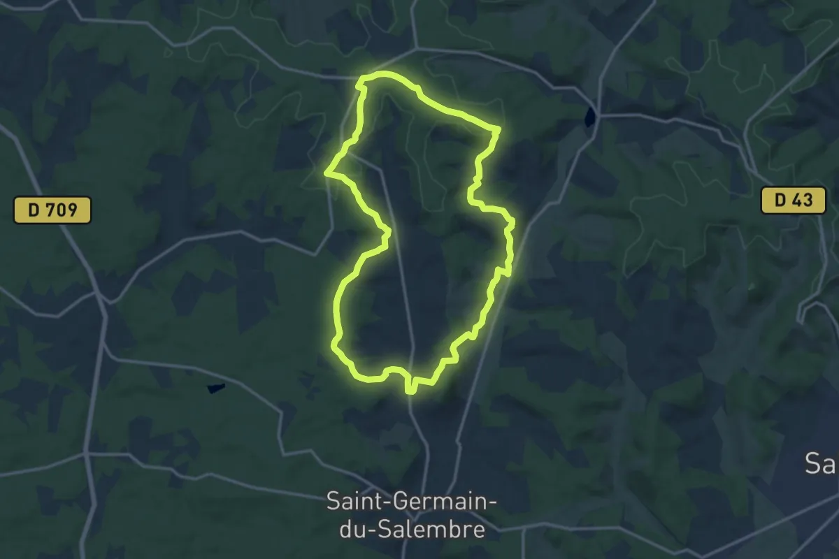
Medium · Trail
Boucle des Hameaux
13.4 km · ↑ 269 m · 3 h 55 min