Trails in France
15,926 hiking trails, each with its route, climb, walking time and grade.
All trails, page 253 of 332
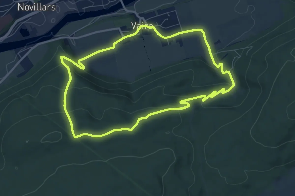
Easy · Trail
Sentier des Sources 1
7.6 km · ↑ 247 m · 2 h 25 min
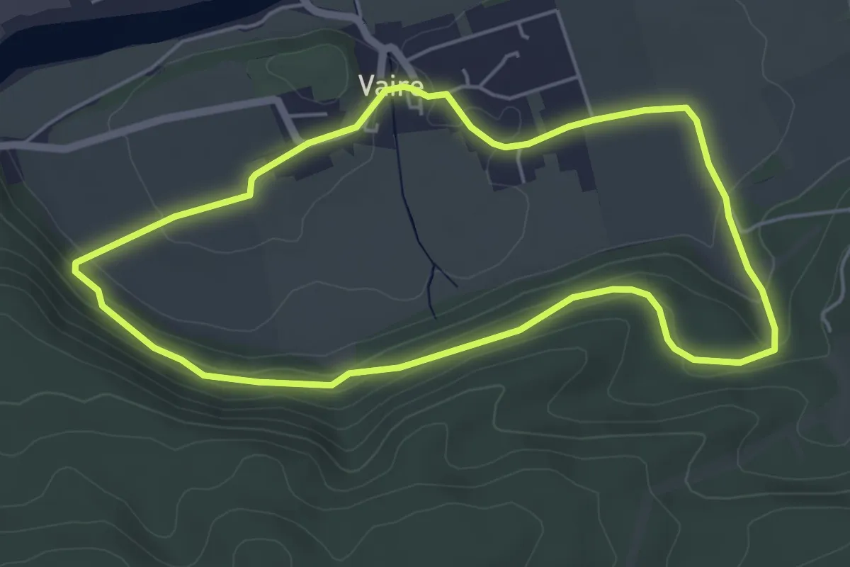
Easy · Trail
Sentier des Sources 2
4.8 km · ↑ 139 m · 1 h 30 min
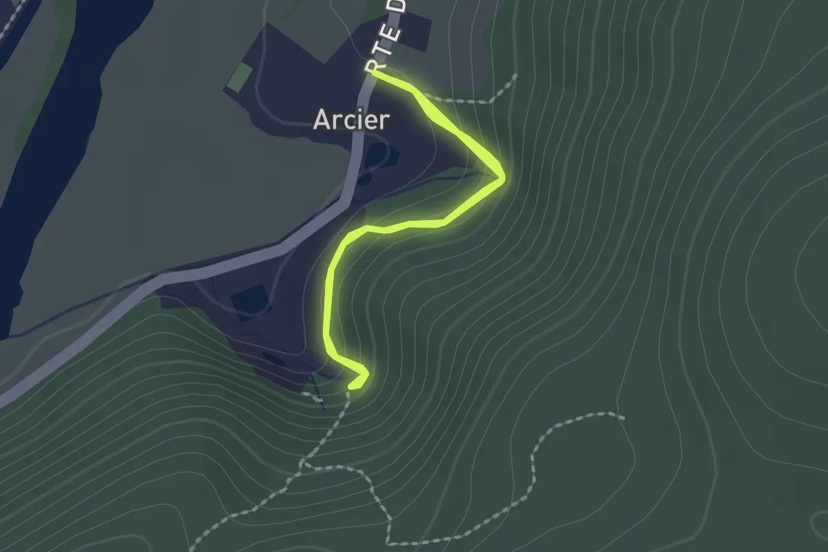
Easy · Trail
Sentier des Sources d'Arcier
1.7 km · ↑ 134 m · 41 min
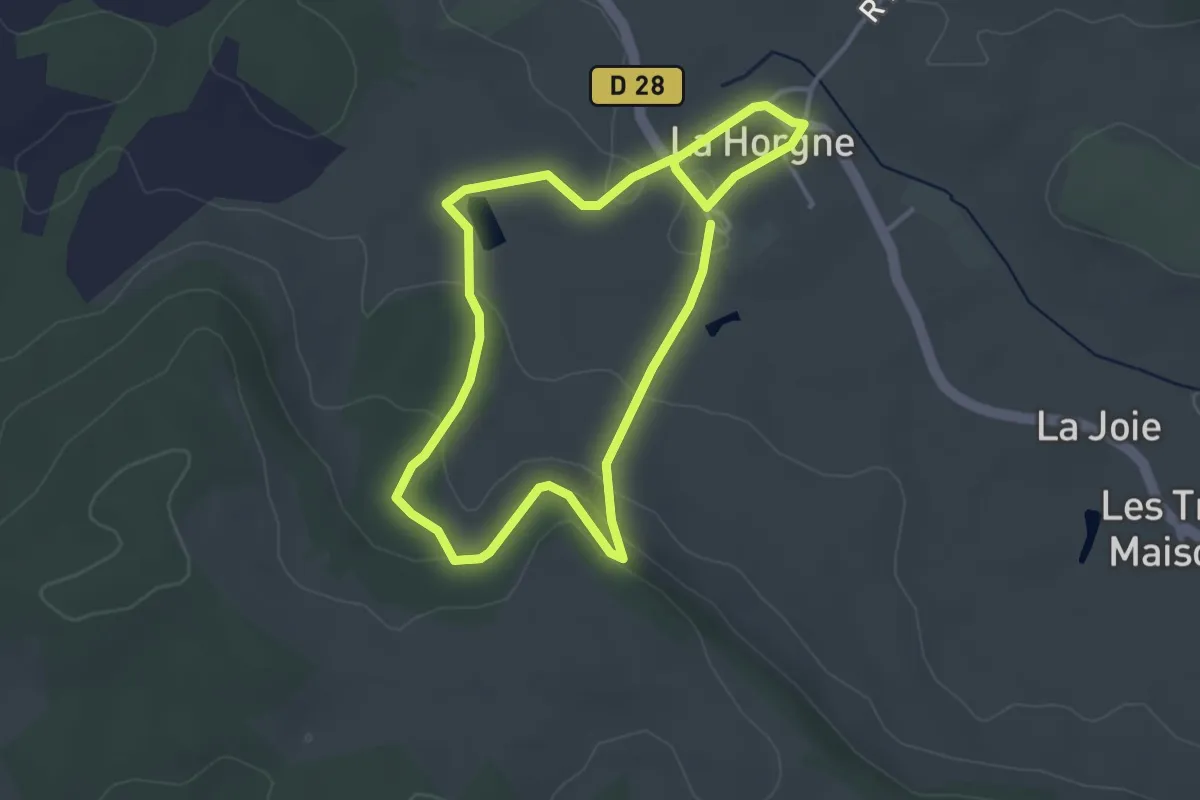
Easy · Trail
Sentier des Spahis
3.1 km · ↑ 59 m · 54 min
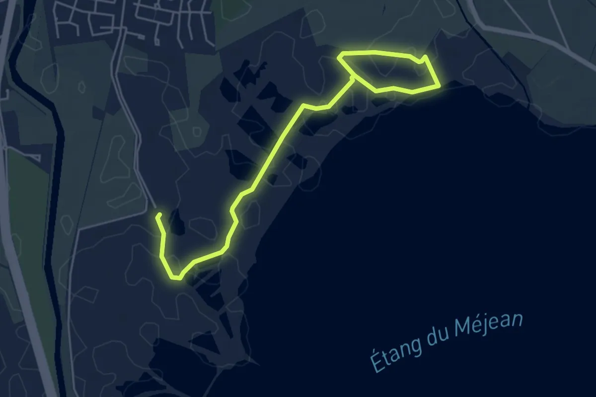
Easy · Trail
Sentier des tamaris
6.1 km · ↑ 0 m · 1 h 26 min
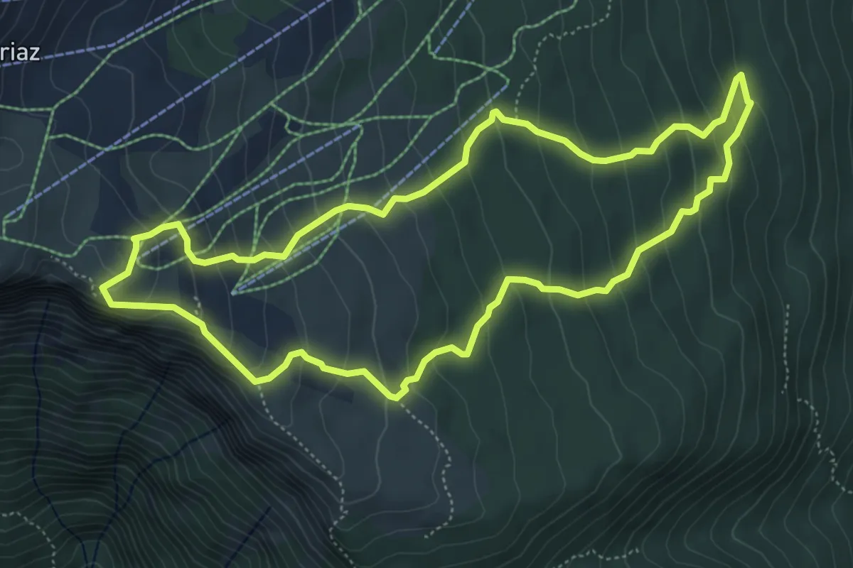
Medium · Cabin
Sentier des Tannes et Glacières du Margériaz
5.6 km · ↑ 417 m · 2 h 18 min
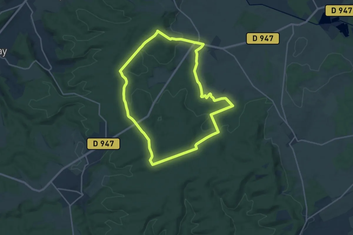
Medium · Trail
Sentier des Templiers
13.2 km · ↑ 215 m · 3 h 46 min
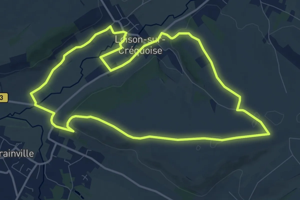
Medium · Trail
Sentier des Templiers
9.0 km · ↑ 93 m · 2 h 28 min
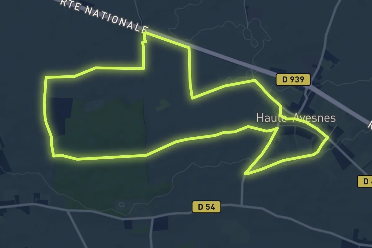
Medium · Trail
Sentier des Templiers
9.4 km · ↑ 64 m · 2 h 30 min
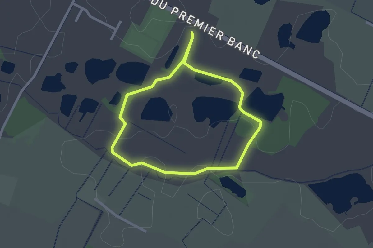
Easy · Trail
Sentier des Têtards
1.7 km · ↑ 0 m · 25 min
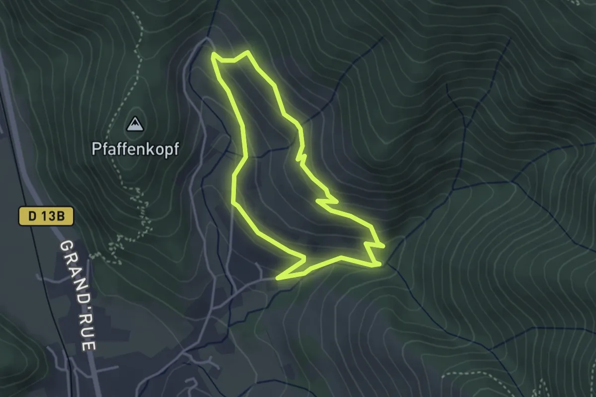
Easy · Trail
Sentier des Tilleuls
3.0 km · ↑ 148 m · 1 h 5 min
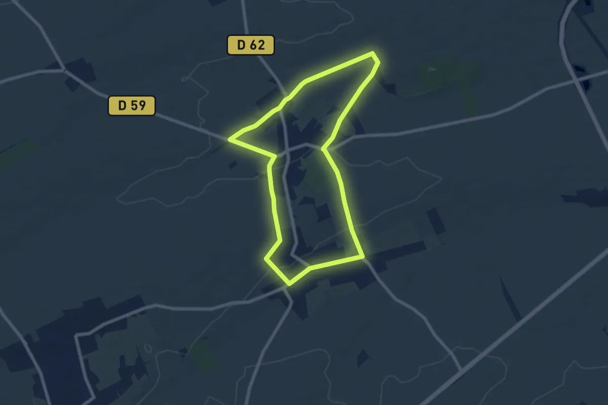
Easy · Trail
Sentier des Tourelles
5.9 km · ↑ 41 m · 1 h 33 min
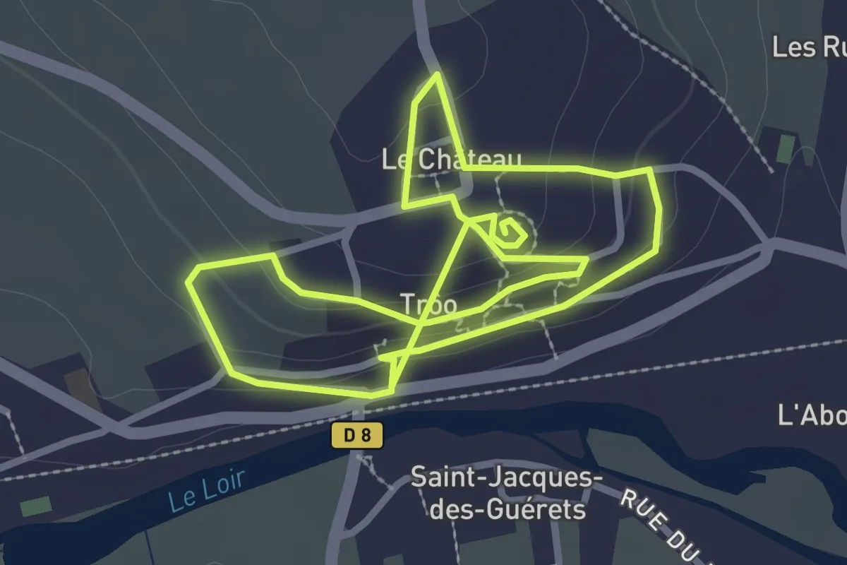
Easy · Trail
Sentier des troglodytes
2.6 km · ↑ 103 m · 51 min
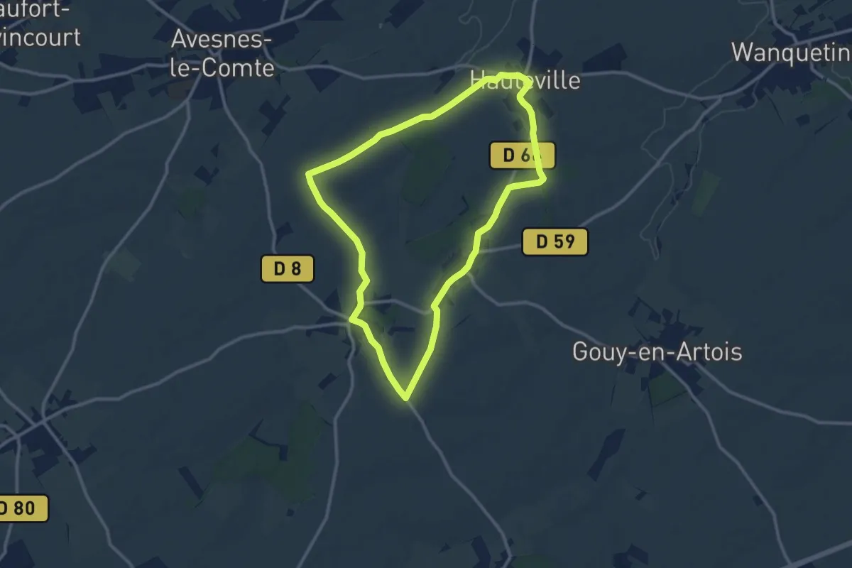
Medium · Trail
Sentier des Trois Châteaux
9.6 km · ↑ 64 m · 2 h 33 min
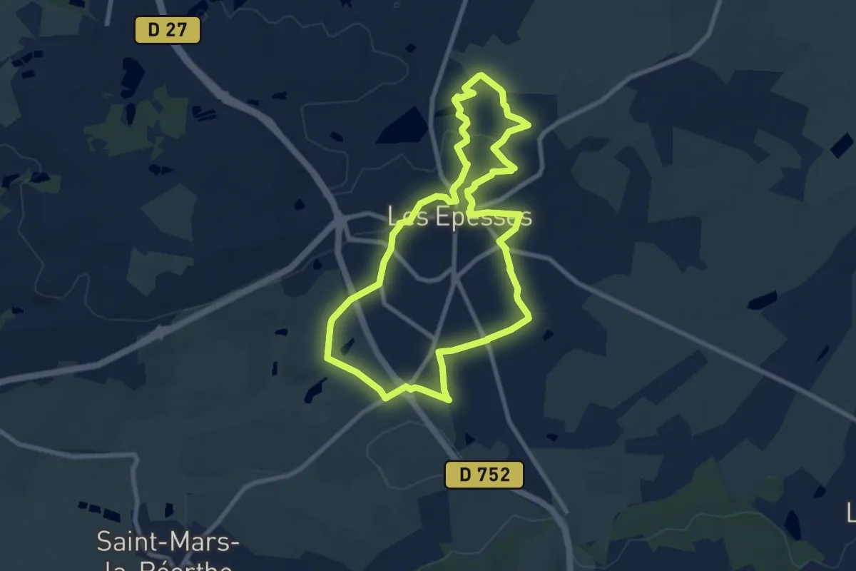
Easy · Trail
Sentier des Trois chênes
7.5 km · ↑ 96 m · 2 h 6 min
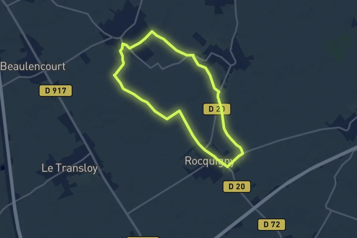
Easy · Trail
Sentier des Trois Clochers
8.0 km · ↑ 14 m · 2 h 1 min
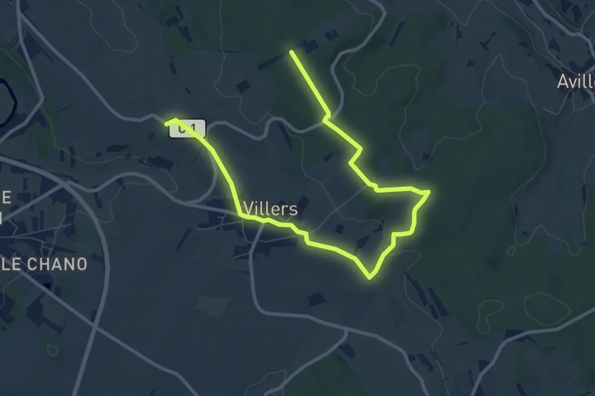
Easy · Trail
Sentier des Trois Fontaines
5.1 km · ↑ 27 m · 1 h 22 min
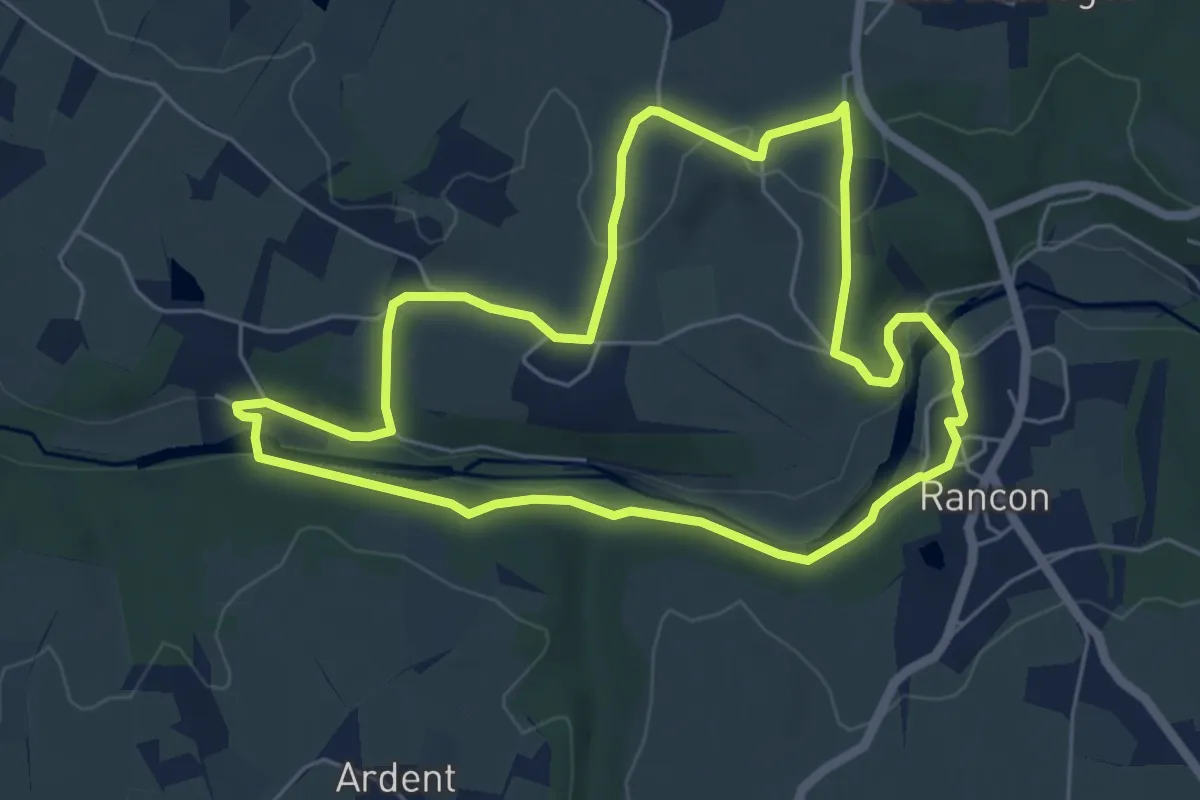
Easy · Trail
Sentier des trois moulins
5.8 km · ↑ 106 m · 1 h 40 min
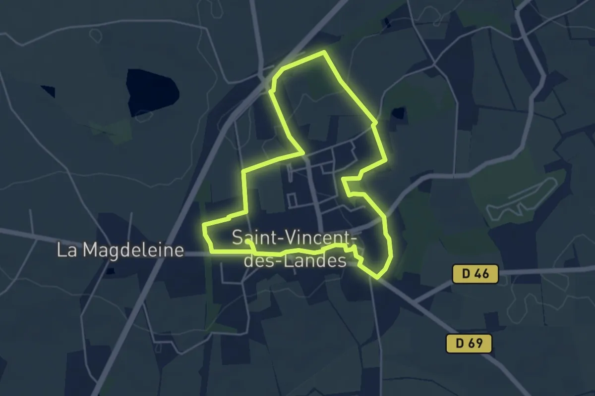
Easy · Trail
Sentier des Trois Ponts
4.3 km · ↑ 25 m · 1 h 8 min
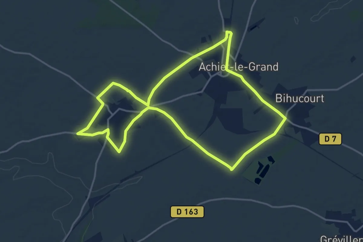
Medium · Trail
Sentier des Trois Pourchains
11.5 km · ↑ 52 m · 3 h
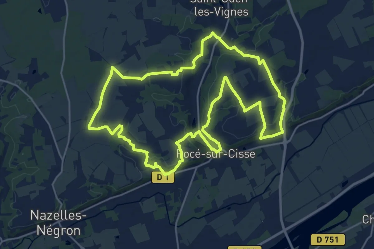
Medium · Trail
Sentier des Trois Vallées
14.5 km · ↑ 182 m · 4 h 1 min
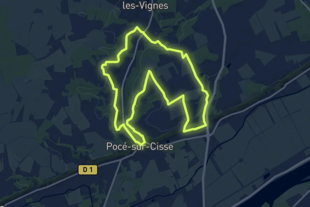
Medium · Trail
Sentier des Trois Vallées (est)
9.7 km · ↑ 167 m · 2 h 47 min
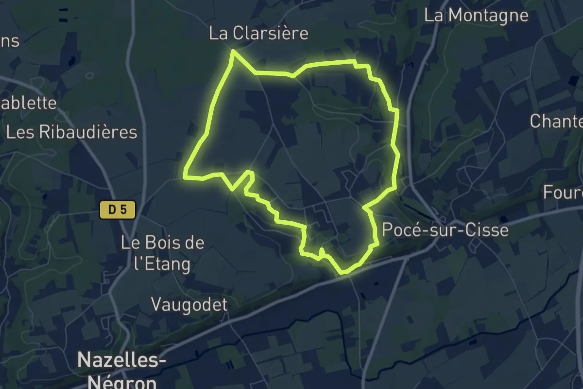
Easy · Trail
Sentier des Trois Vallées (ouest)
7.3 km · ↑ 90 m · 2 h 1 min
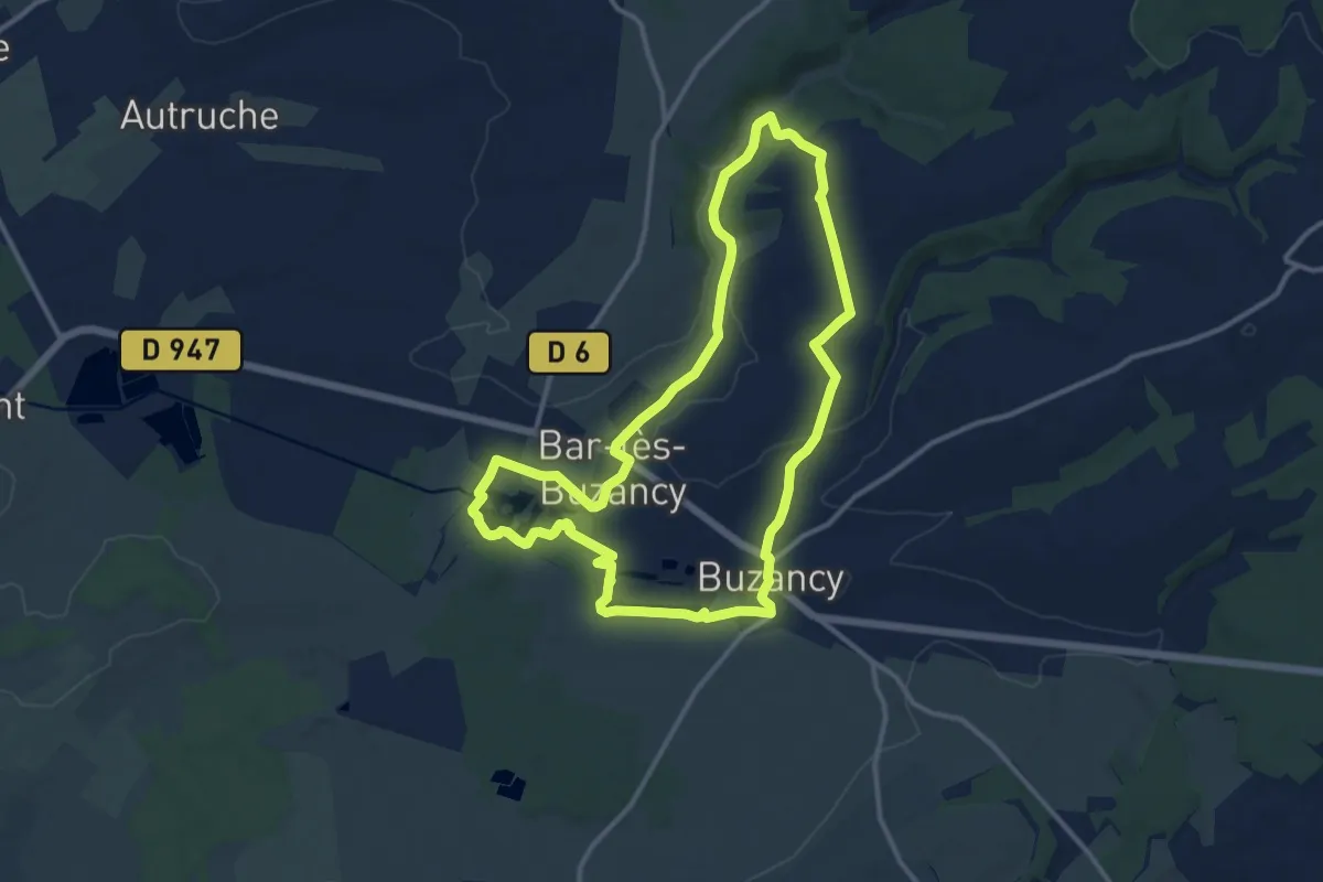
Medium · Trail
Sentier des Trois Villages
11.6 km · ↑ 94 m · 3 h 7 min
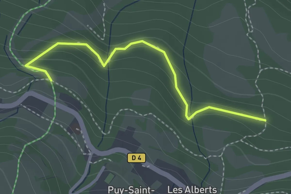
Easy · Trail
Sentier des Trolls
1.1 km · ↑ 39 m · 23 min
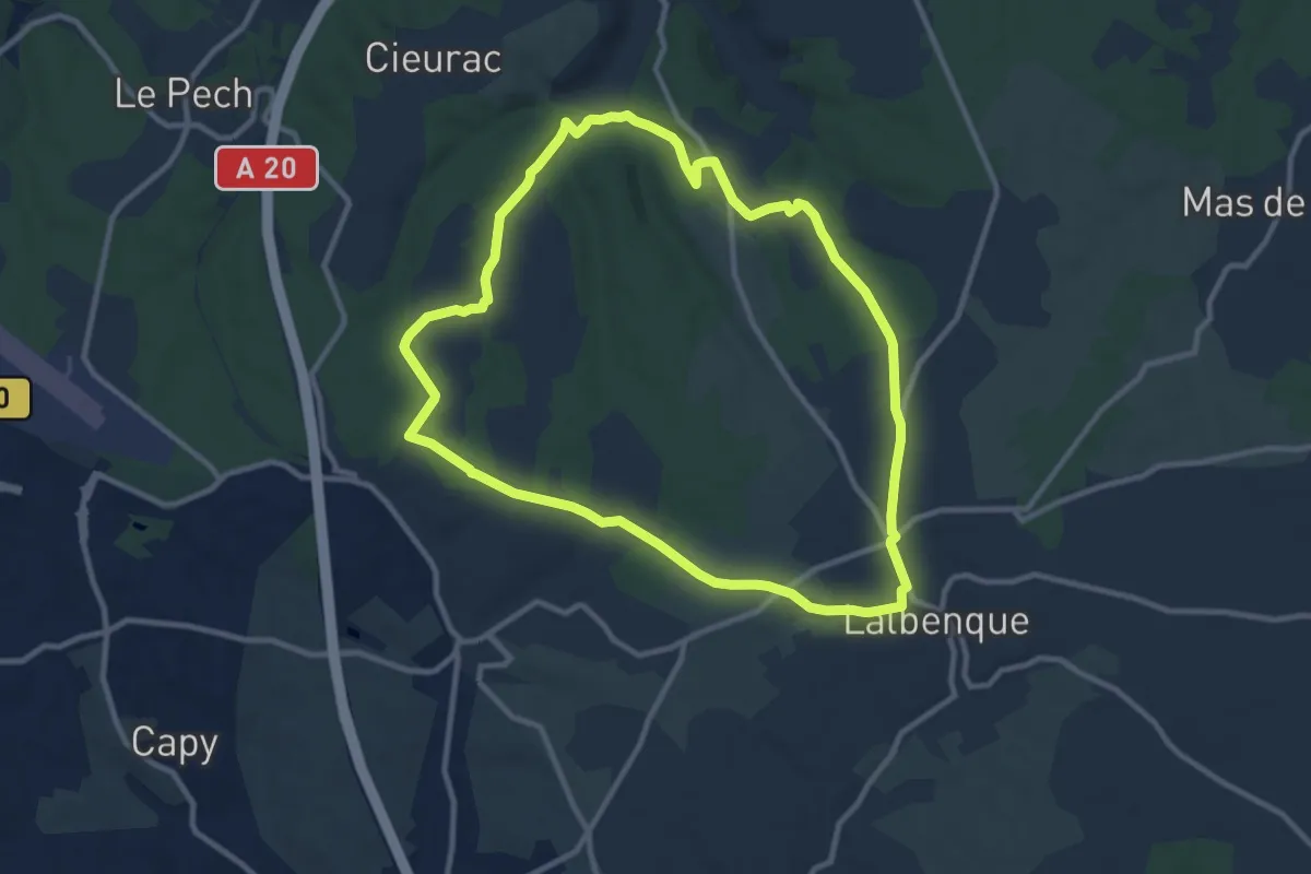
Medium · Trail
Sentier des truffes
10.6 km · ↑ 129 m · 2 h 56 min
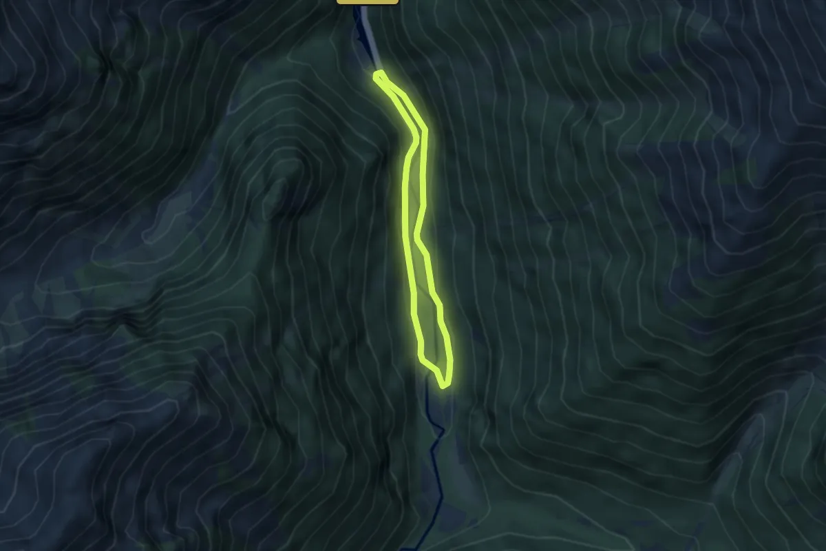
Easy · Trail
Sentier des Vaches
3.0 km · ↑ 68 m · 54 min
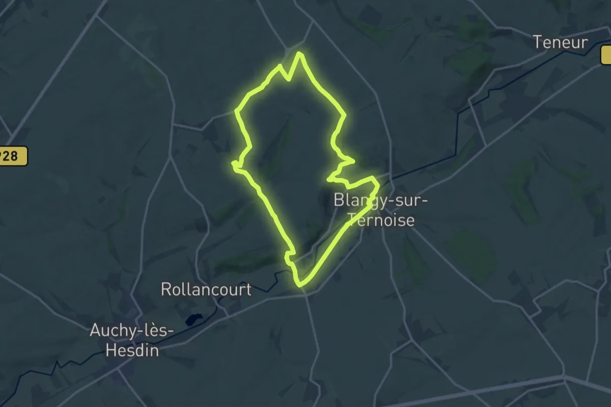
Medium · Trail
Sentier des Vallons
13.3 km · ↑ 166 m · 3 h 41 min
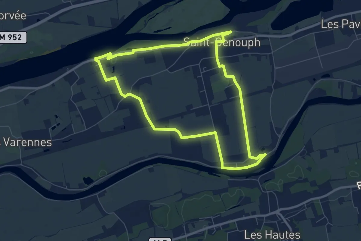
Easy · Trail
Sentier des Varennes
7.1 km · ↑ 5 m · 1 h 47 min
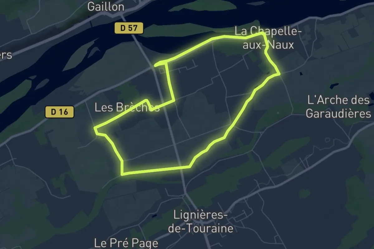
Easy · Trail
Sentier des Varennes - La Chapelle-aux-Naux
7.1 km · ↑ 0 m · 1 h 46 min
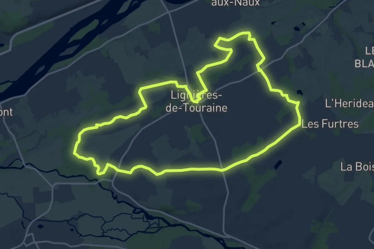
Medium · Trail
Sentier des Vergers - Lignières-de-Touraine
15.7 km · ↑ 82 m · 4 h 6 min
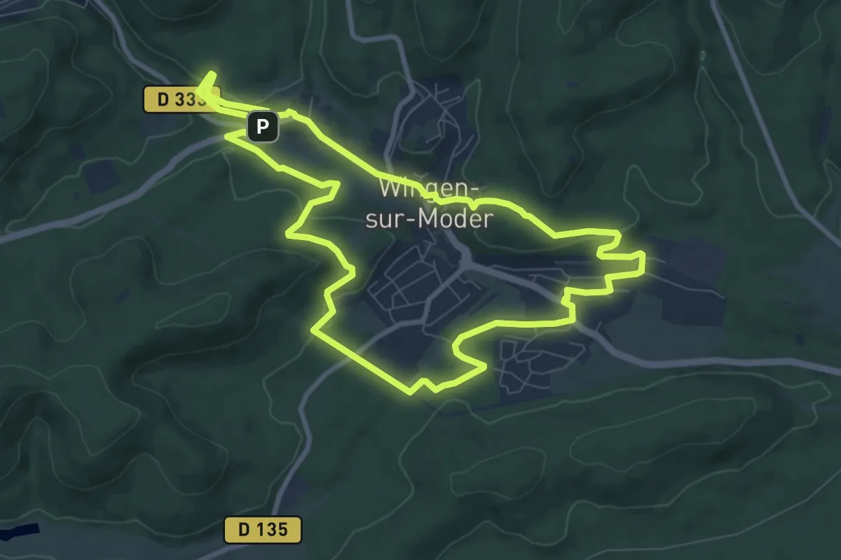
Medium · Trail
Sentier des Verriers Wingen-sur-Moder
8.3 km · ↑ 147 m · 2 h 24 min
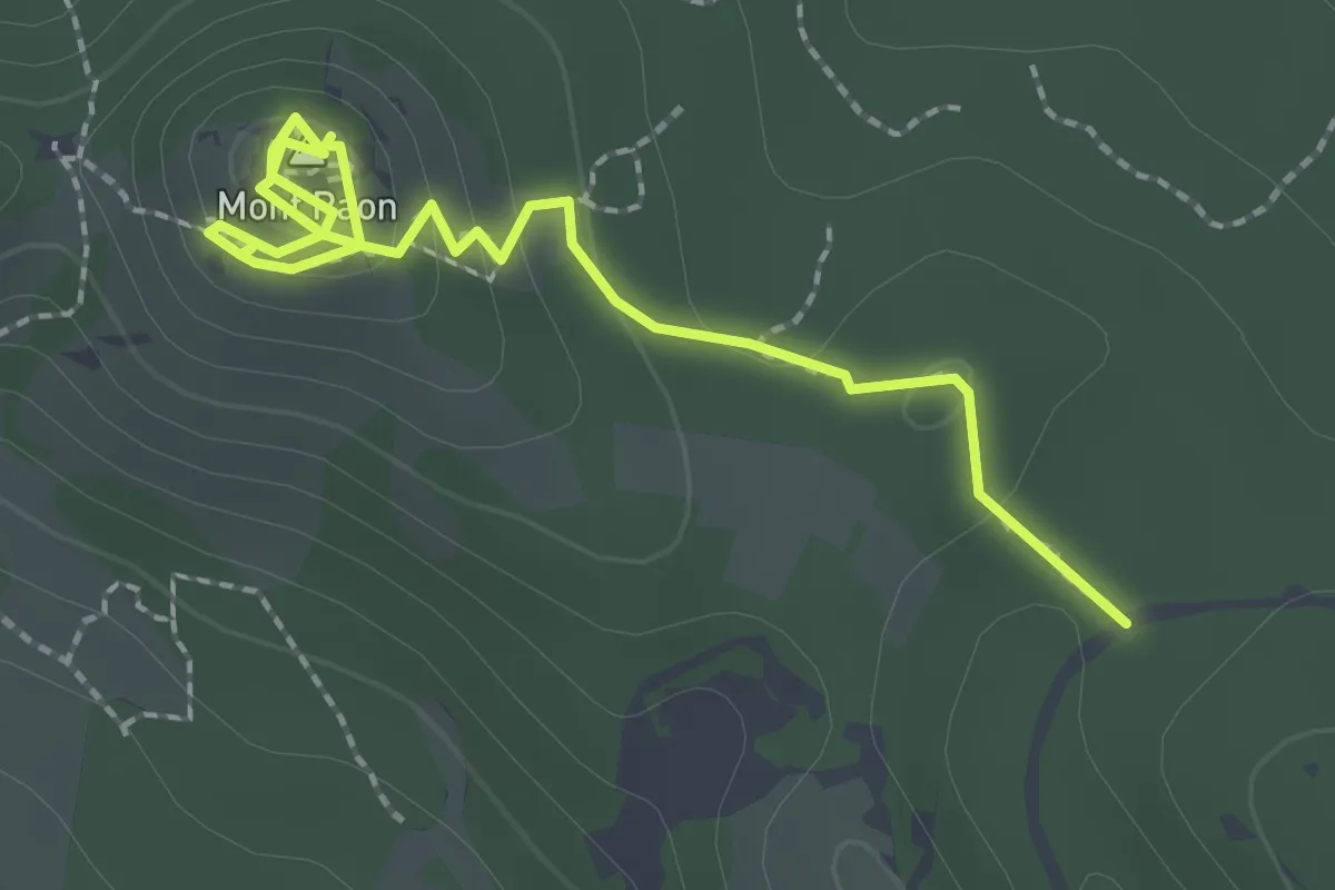
Medium · Summit
Sentier des vestiges du castrum du Mont Paon
2.8 km · ↑ 116 m · 55 min
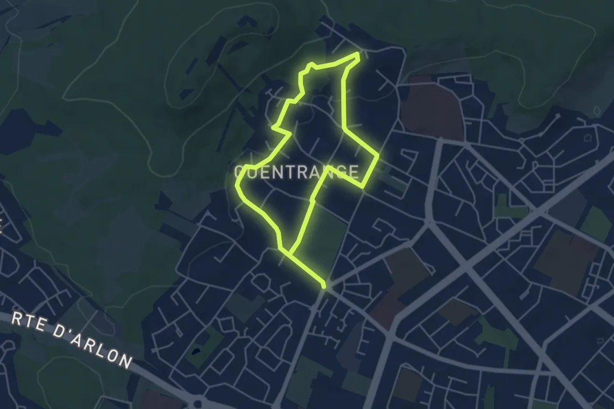
Easy · Trail
Sentier des vignerons
3.6 km · ↑ 66 m · 1 h 3 min
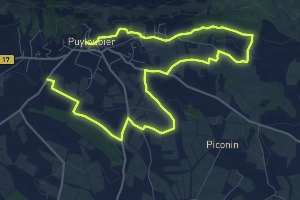
Medium · Trail
Sentier des Vignerons
14.9 km · ↑ 226 m · 4 h 1 min
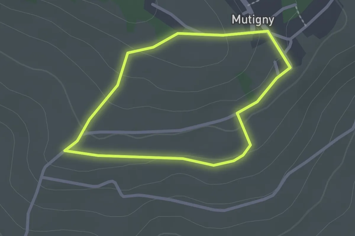
Easy · Trail
Sentier des Vignerons
1.8 km · ↑ 49 m · 33 min
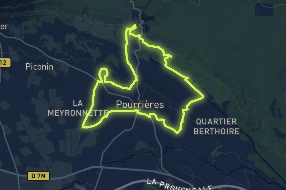
Medium · Trail
Sentier des vignerons de Pourrières - Belvedères
16.3 km · ↑ 288 m · 4 h 42 min
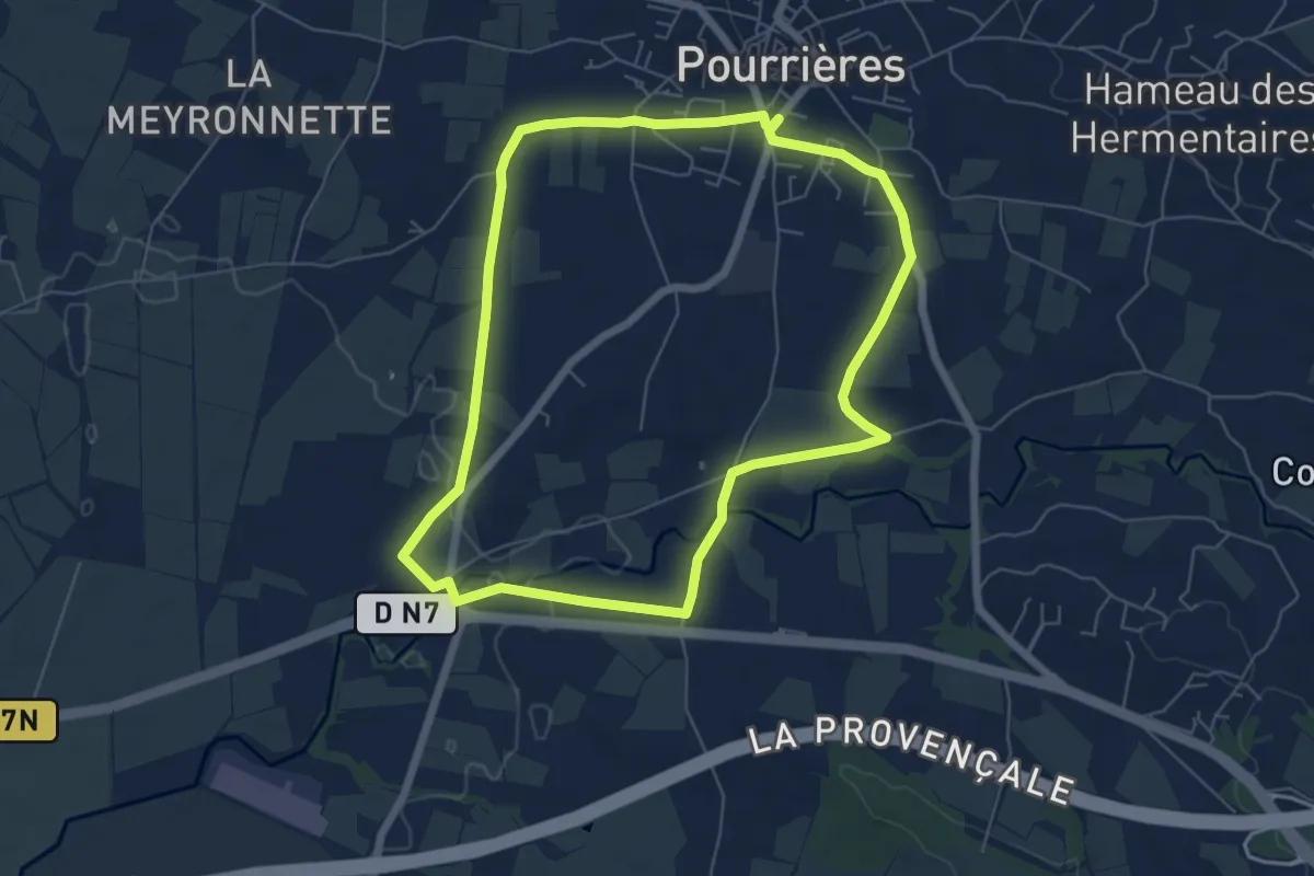
Easy · Trail
Sentier des vignerons de Pourrières - Moulins
6.7 km · ↑ 31 m · 1 h 45 min
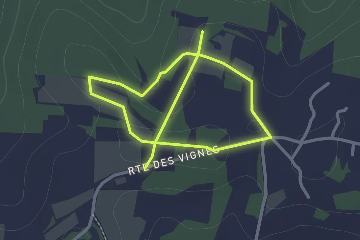
Easy · Trail
Sentier des vignes
3.7 km · ↑ 54 m · 1 h
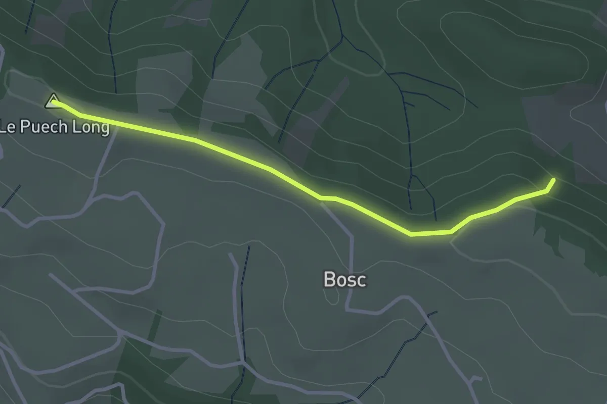
Easy · Summit
Sentier des Vignes
3.0 km · ↑ 45 m · 48 min
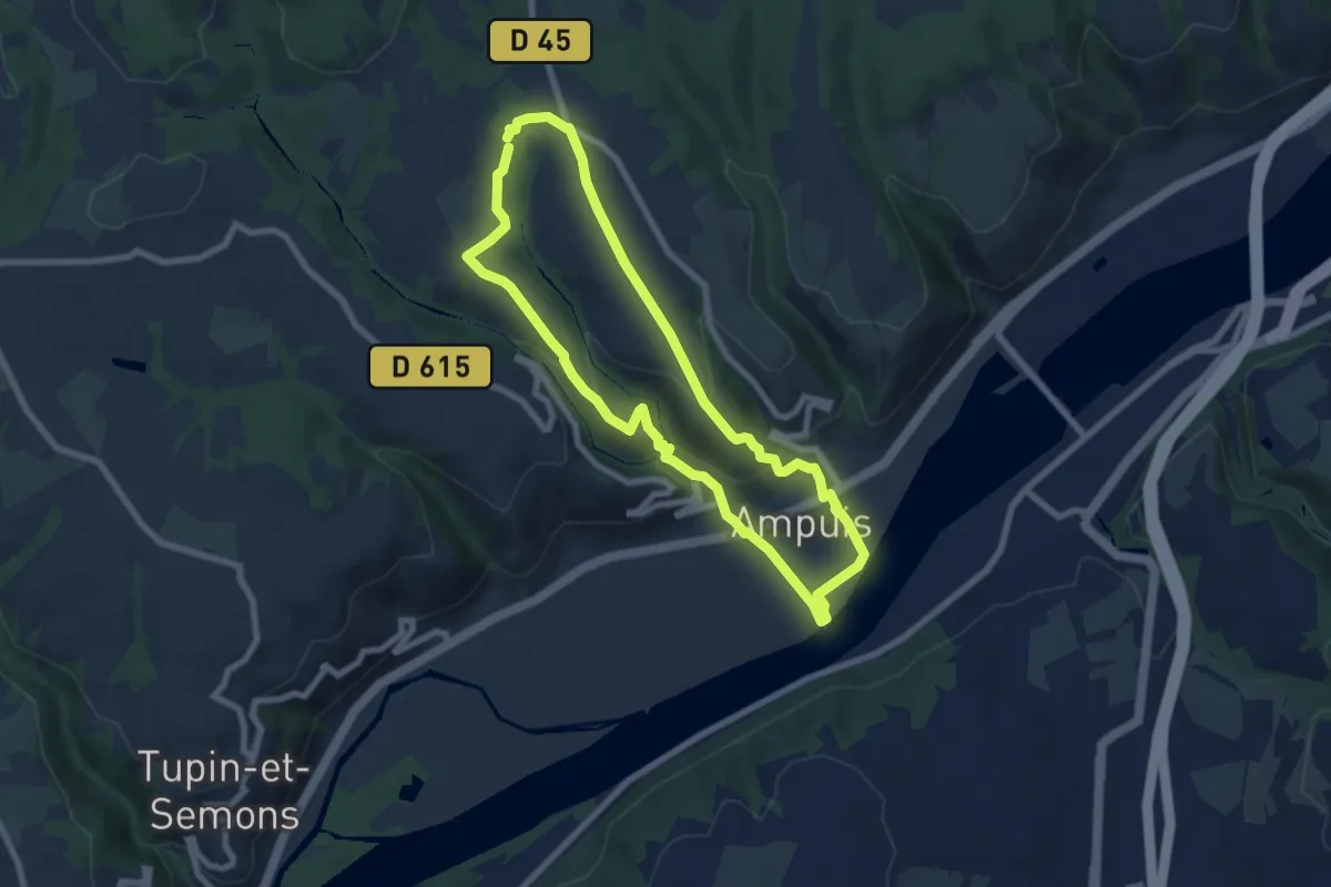
Medium · Trail
Sentier des Vignes
6.9 km · ↑ 235 m · 2 h 15 min
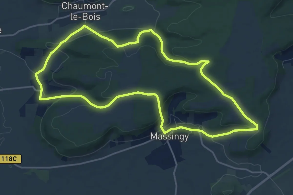
Medium · Trail
Sentier des Vignes
10.1 km · ↑ 270 m · 3 h 6 min
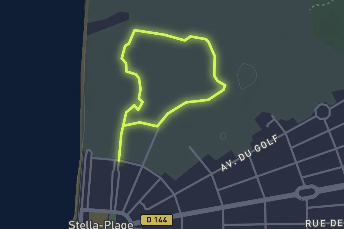
Easy · Trail
Sentier des Violettes
1.7 km · ↑ 4 m · 26 min
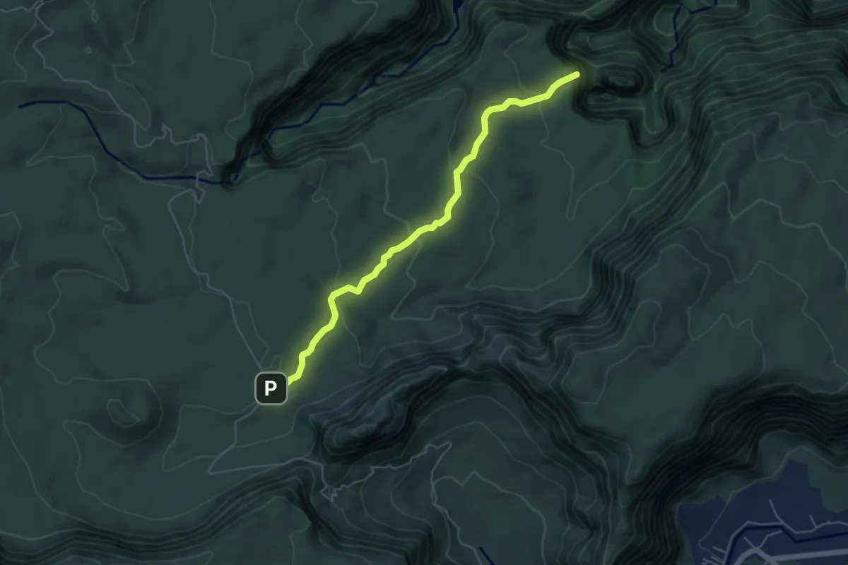
Easy · Trail
sentier de Takamaka
7.1 km · ↑ 218 m · 2 h 8 min
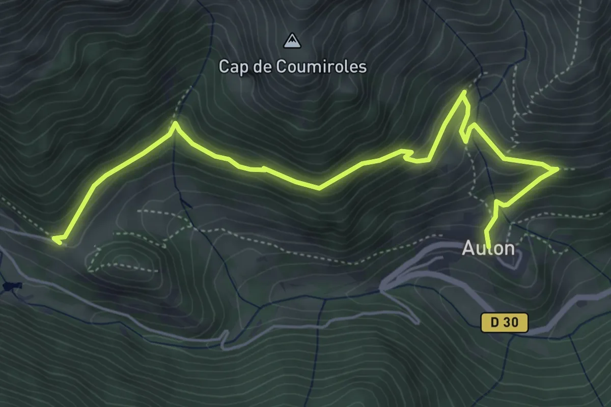
Medium · Trail
Sentier de Tramespeyres
6.5 km · ↑ 466 m · 2 h 33 min
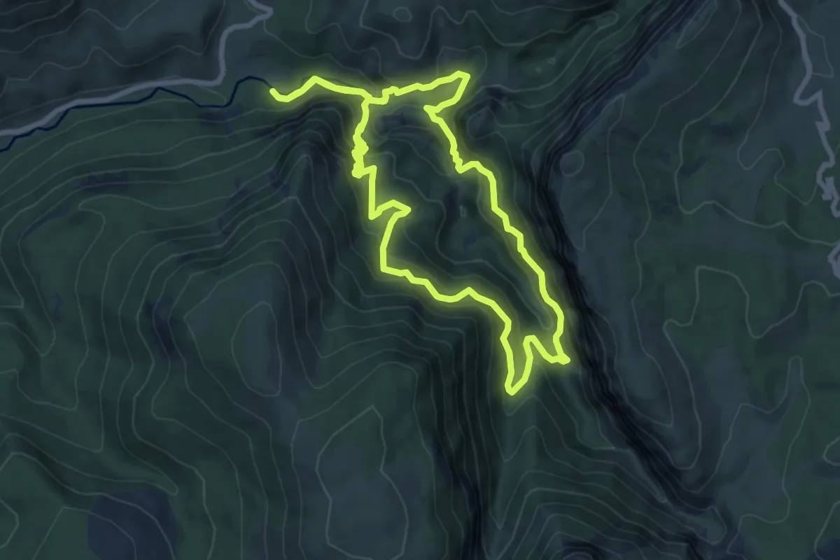
Demanding · Trail
Sentier de Valbonnette
7.9 km · ↑ 670 m · 3 h 26 min
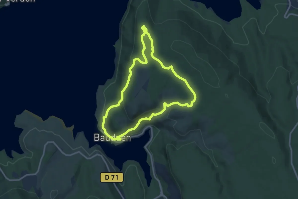
Easy · Trail
Sentier de Véris
7.3 km · ↑ 266 m · 2 h 24 min
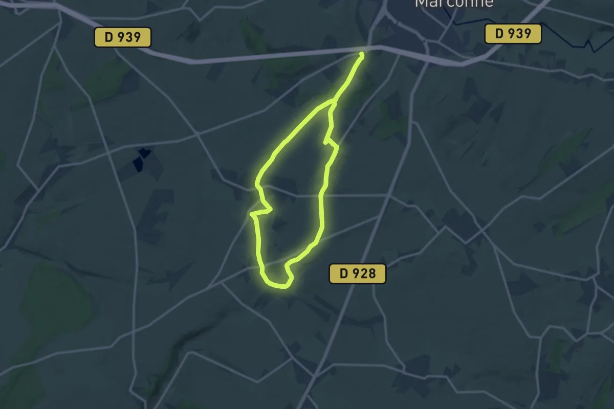
Medium · Trail
Sentier de Victor Jacquemont
9.9 km · ↑ 125 m · 2 h 45 min