Trails in France
15,926 hiking trails, each with its route, climb, walking time and grade.
All trails, page 255 of 332
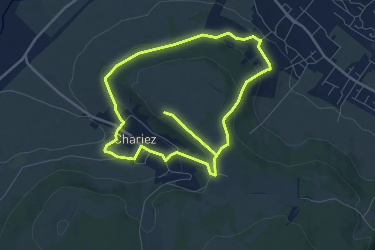
Medium · Trail
Sentier du Camp de César
11.5 km · ↑ 342 m · 3 h 27 min
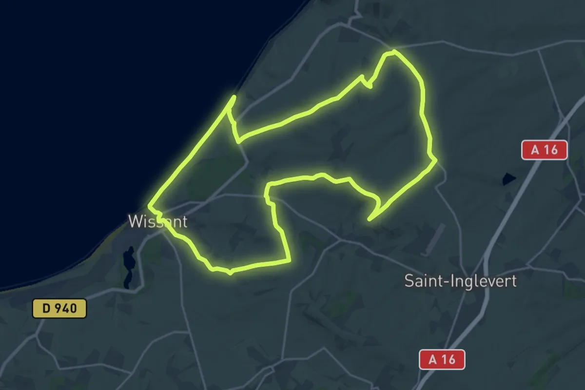
Demanding · Trail
Sentier du Cap Blanc Nez
18.6 km · ↑ 305 m · 5 h 19 min
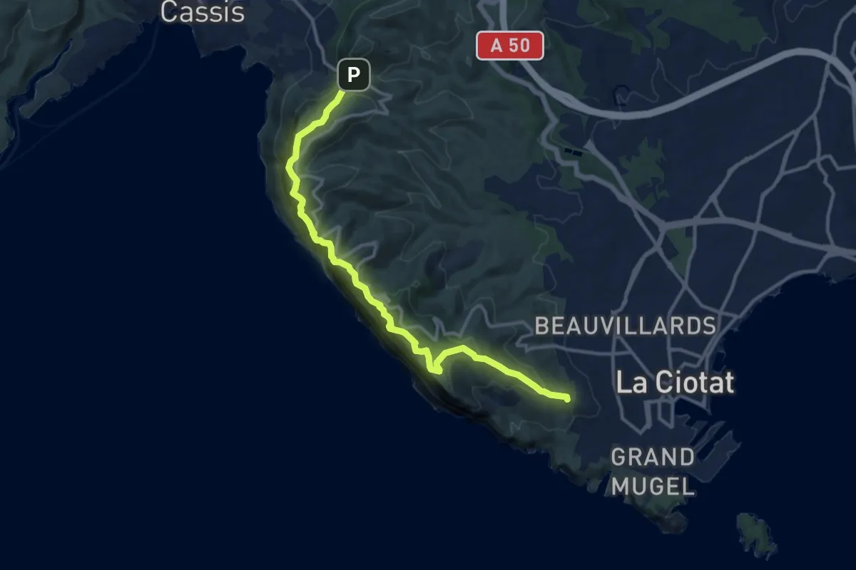
Demanding · Trail
Sentier du Cap Canaille
13.8 km · ↑ 1353 m · 6 h 12 min
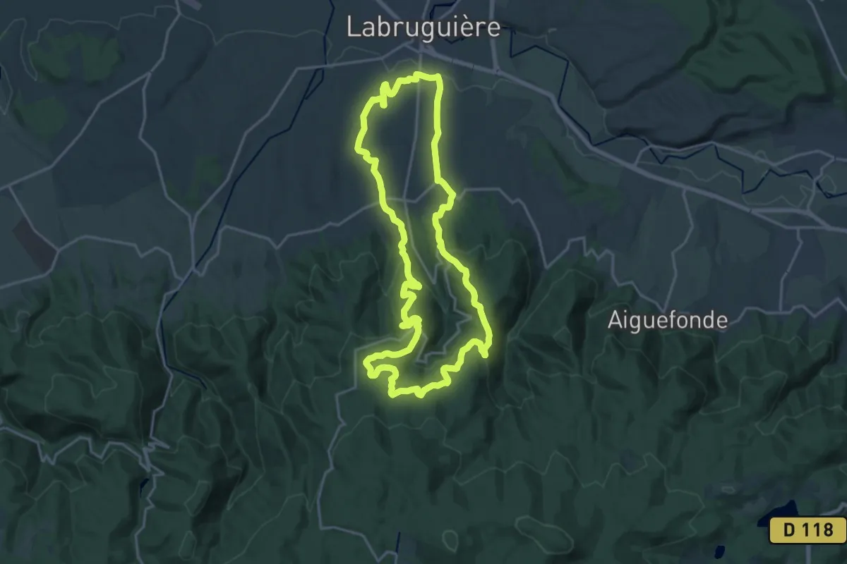
Demanding · Trail
Sentier du Carbonéral
18.7 km · ↑ 551 m · 5 h 53 min
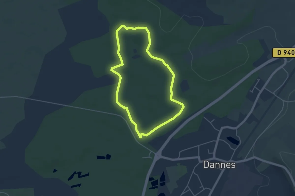
Easy · Trail
Sentier du Chablis
3.4 km · ↑ 13 m · 53 min
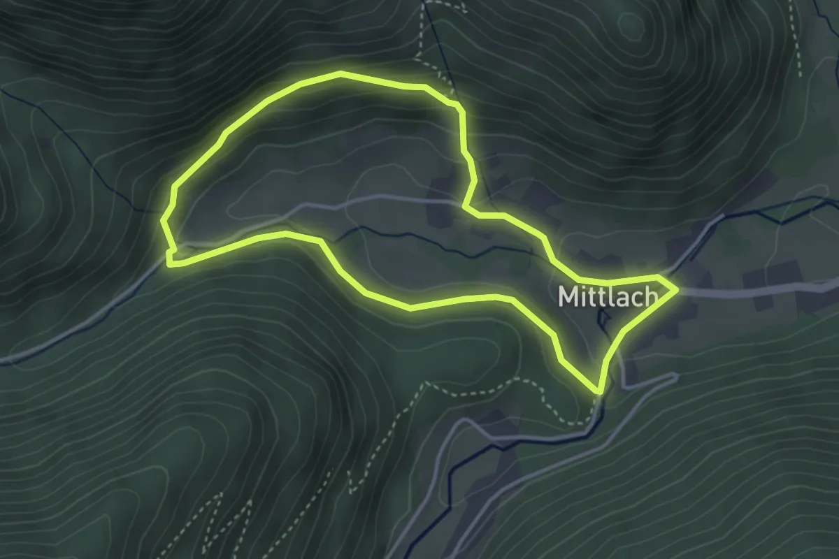
Medium · Trail
Sentier du Chamois
3.6 km · ↑ 158 m · 1 h 14 min
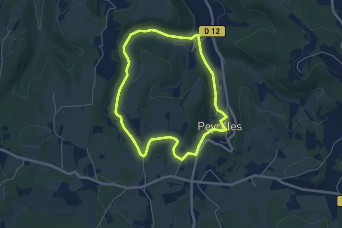
Easy · Trail
Sentier du Château
4.2 km · ↑ 110 m · 1 h 18 min
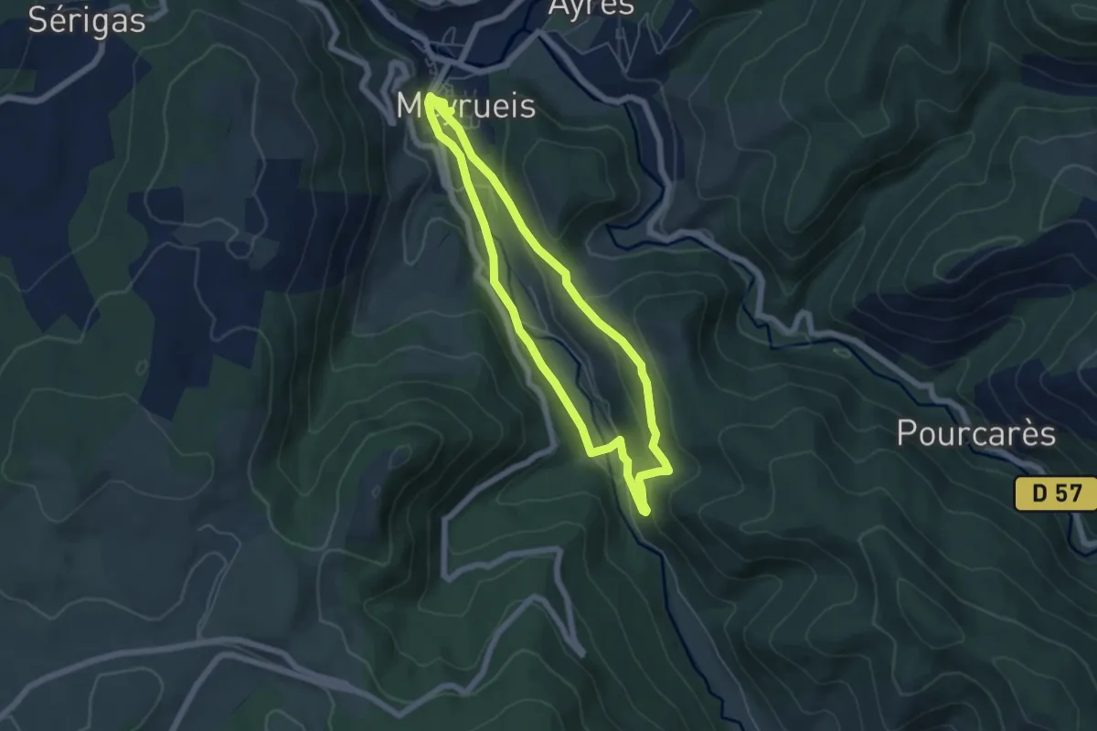
Easy · Trail
Sentier du Château de Roquedols
5.2 km · ↑ 151 m · 1 h 39 min
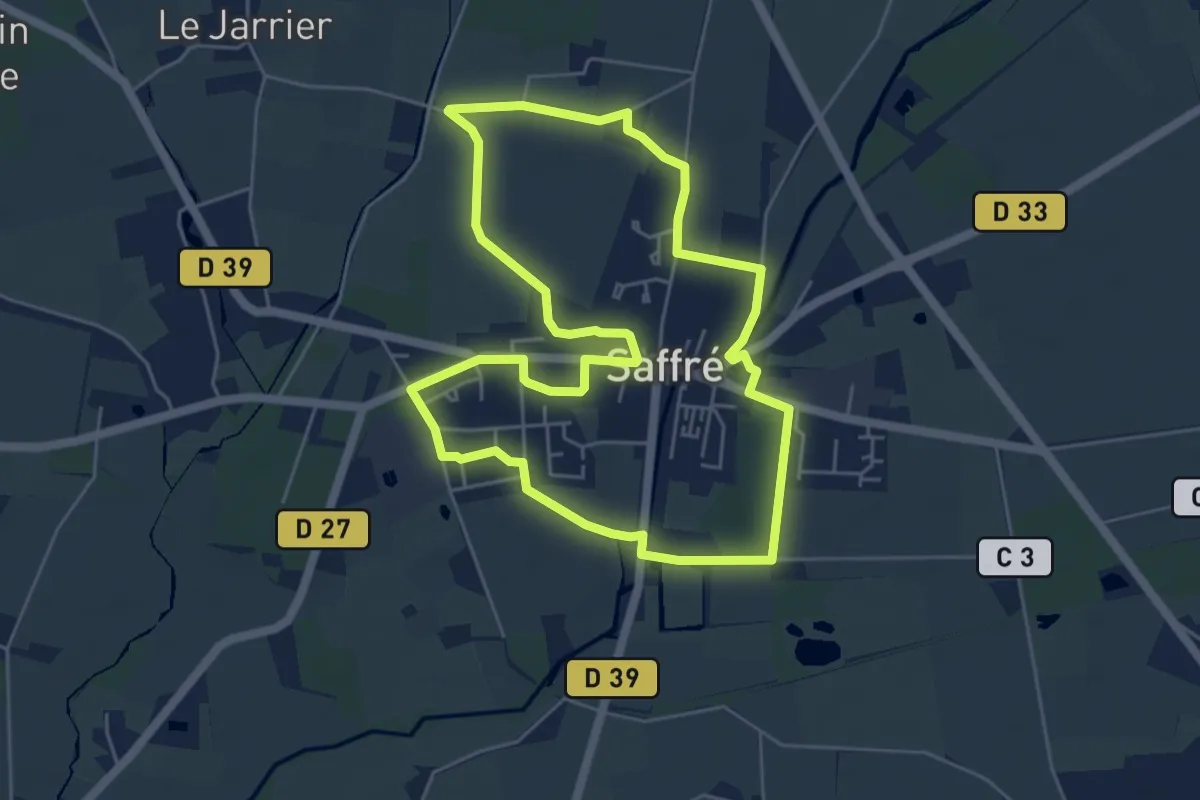
Easy · Trail
Sentier du Château de Saffré
5.3 km · ↑ 13 m · 1 h 21 min
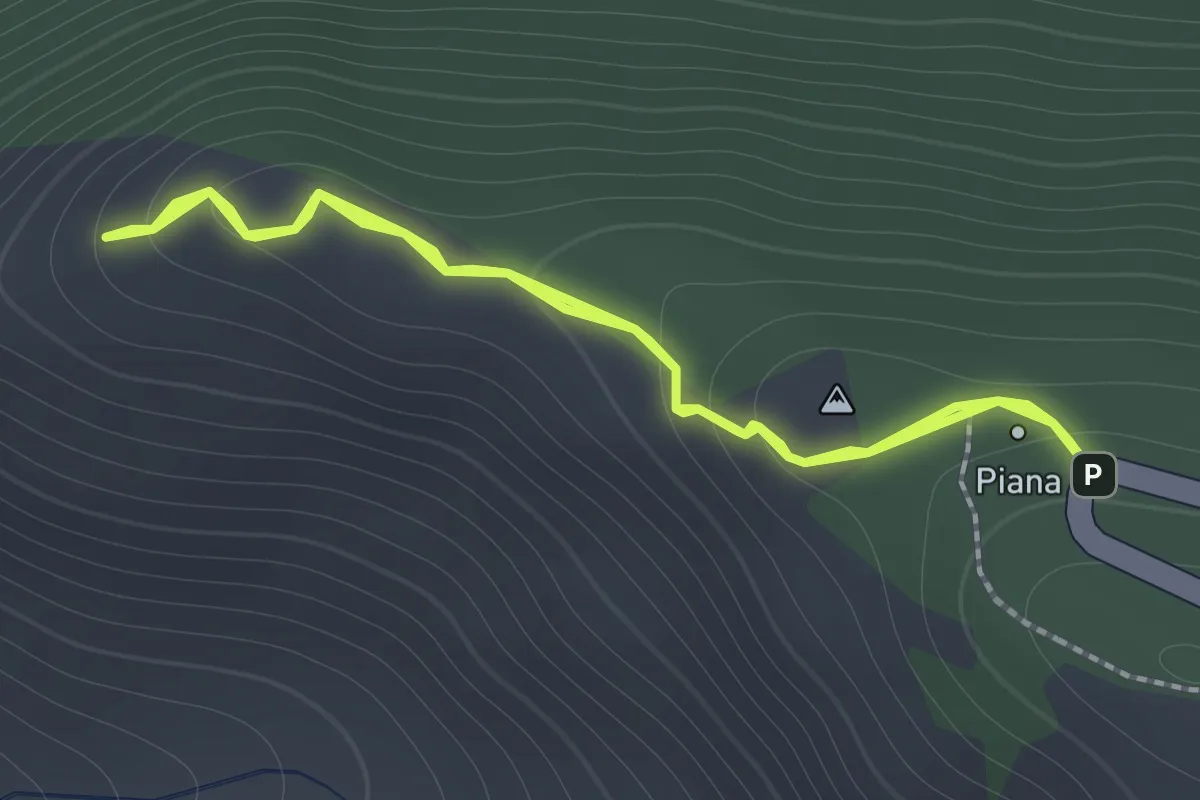
Medium · Trail
Sentier du Château Fort
1.3 km · ↑ 92 m · 32 min
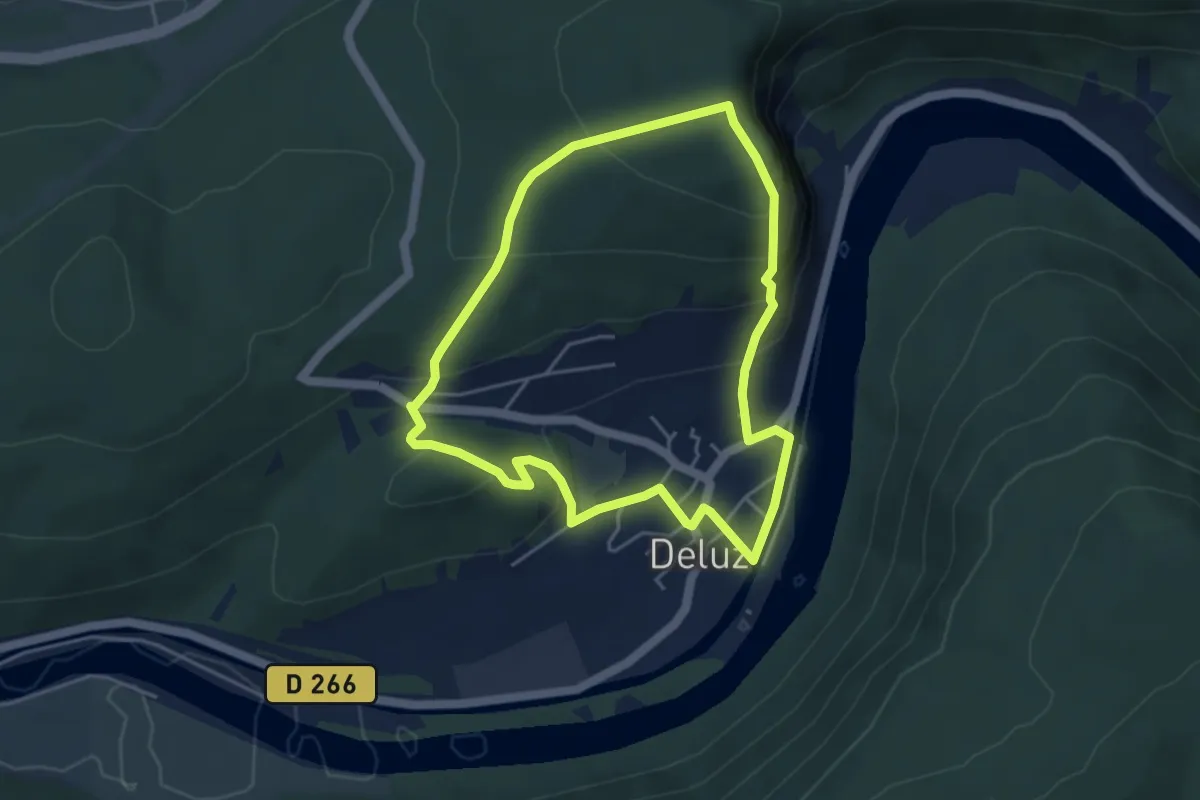
Demanding · Trail
Sentier du Château Loriot
4.2 km · ↑ 241 m · 1 h 34 min
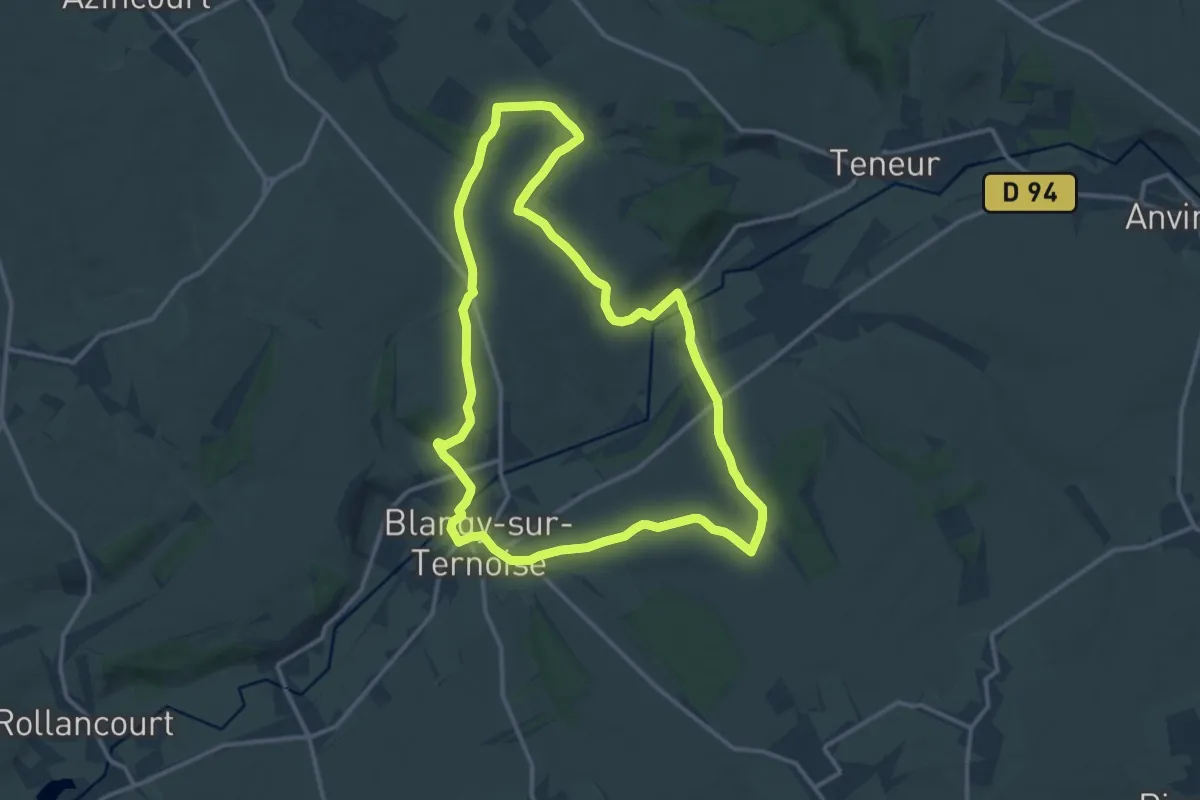
Medium · Trail
Sentier du Chemin Blanc
13.0 km · ↑ 179 m · 3 h 38 min
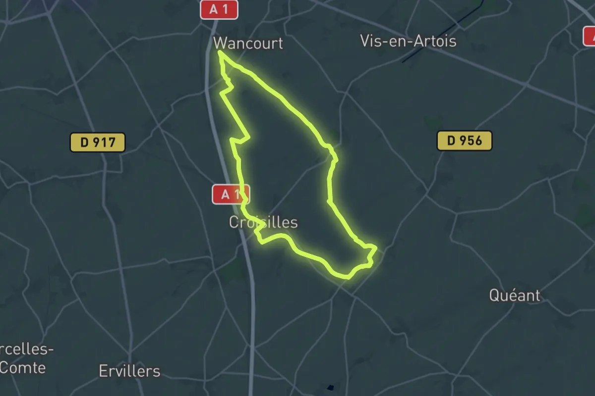
Demanding · Trail
Sentier du Chemin Sansville
19.8 km · ↑ 152 m · 5 h 17 min
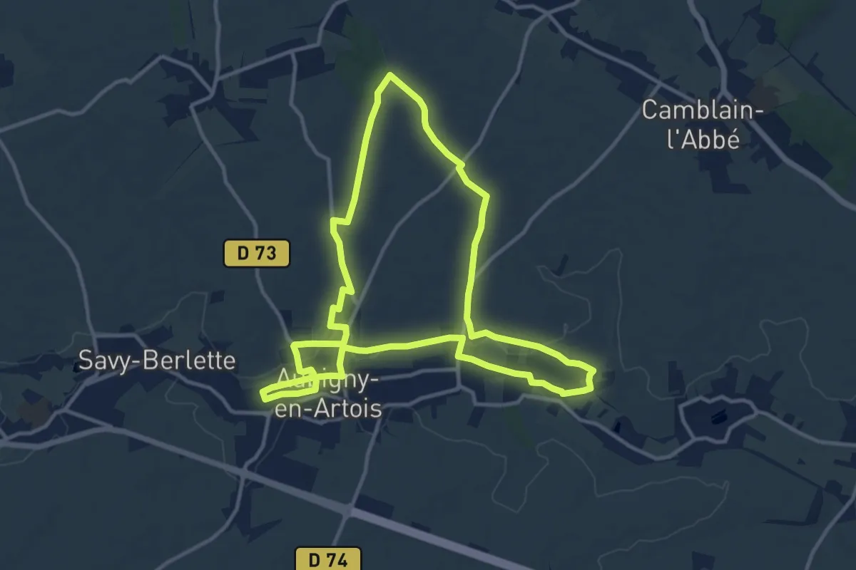
Medium · Trail
Sentier du Chemin Vert
11.1 km · ↑ 69 m · 2 h 55 min
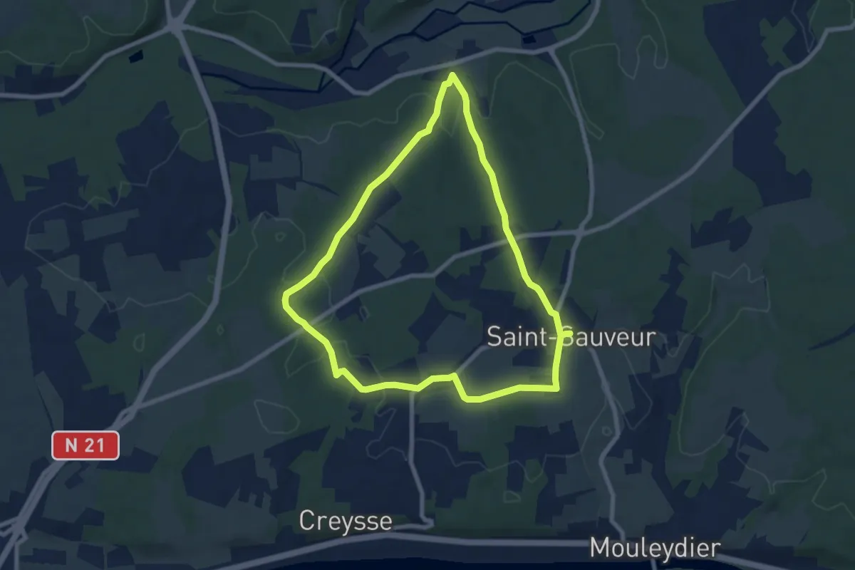
Easy · Trail
Sentier du Chêne
7.0 km · ↑ 114 m · 2 h
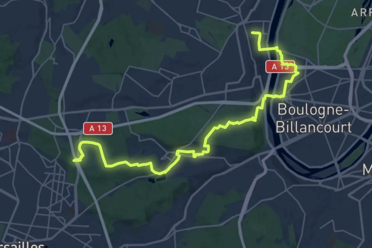
Demanding · Trail
Sentier du Cheval
25.7 km · ↑ 369 m · 6 h 52 min
Medium · Summit
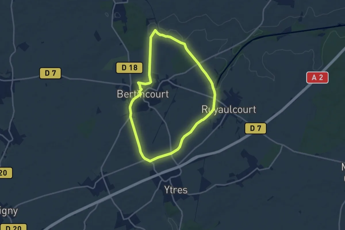
Sentier du Ch'tiot Vélu
9.2 km · ↑ 43 m · 2 h 24 min
Easy · Trail
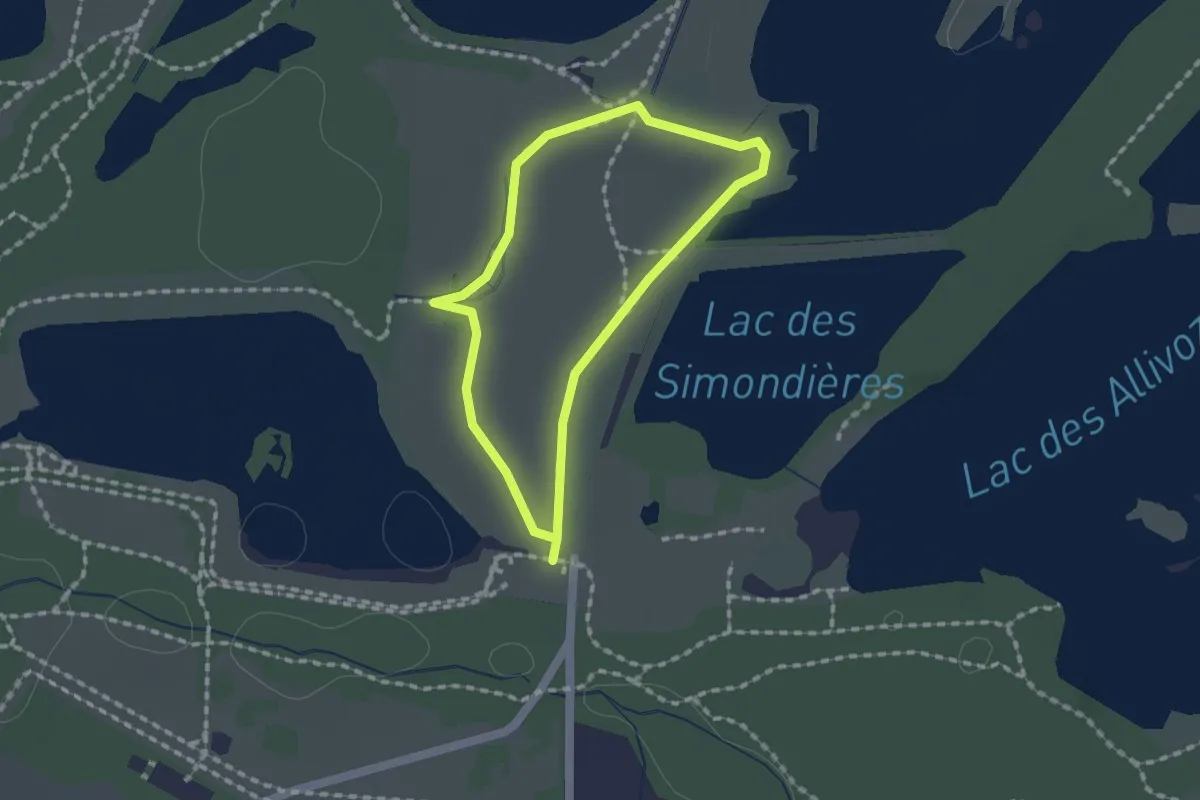
Sentier du Cloizu
1.4 km · ↑ 4 m · 21 min
Medium · Summit
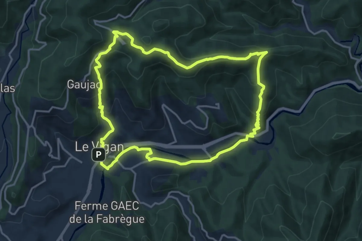
Sentier du Col des Mourèzes
10.8 km · ↑ 405 m · 3 h 34 min
Medium · Trail
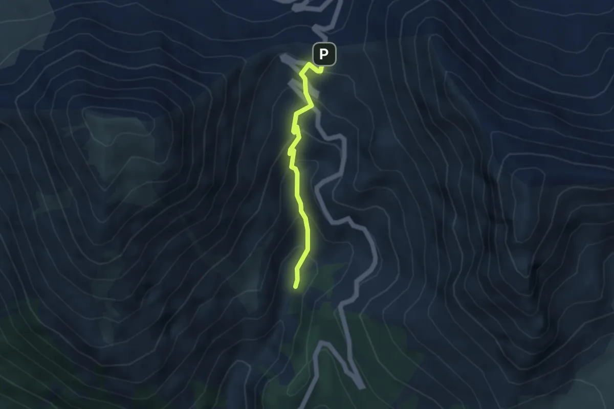
Sentier du Col d'Izoard - Torrent de l'Izoard
3.2 km · ↑ 269 m · 1 h 21 min
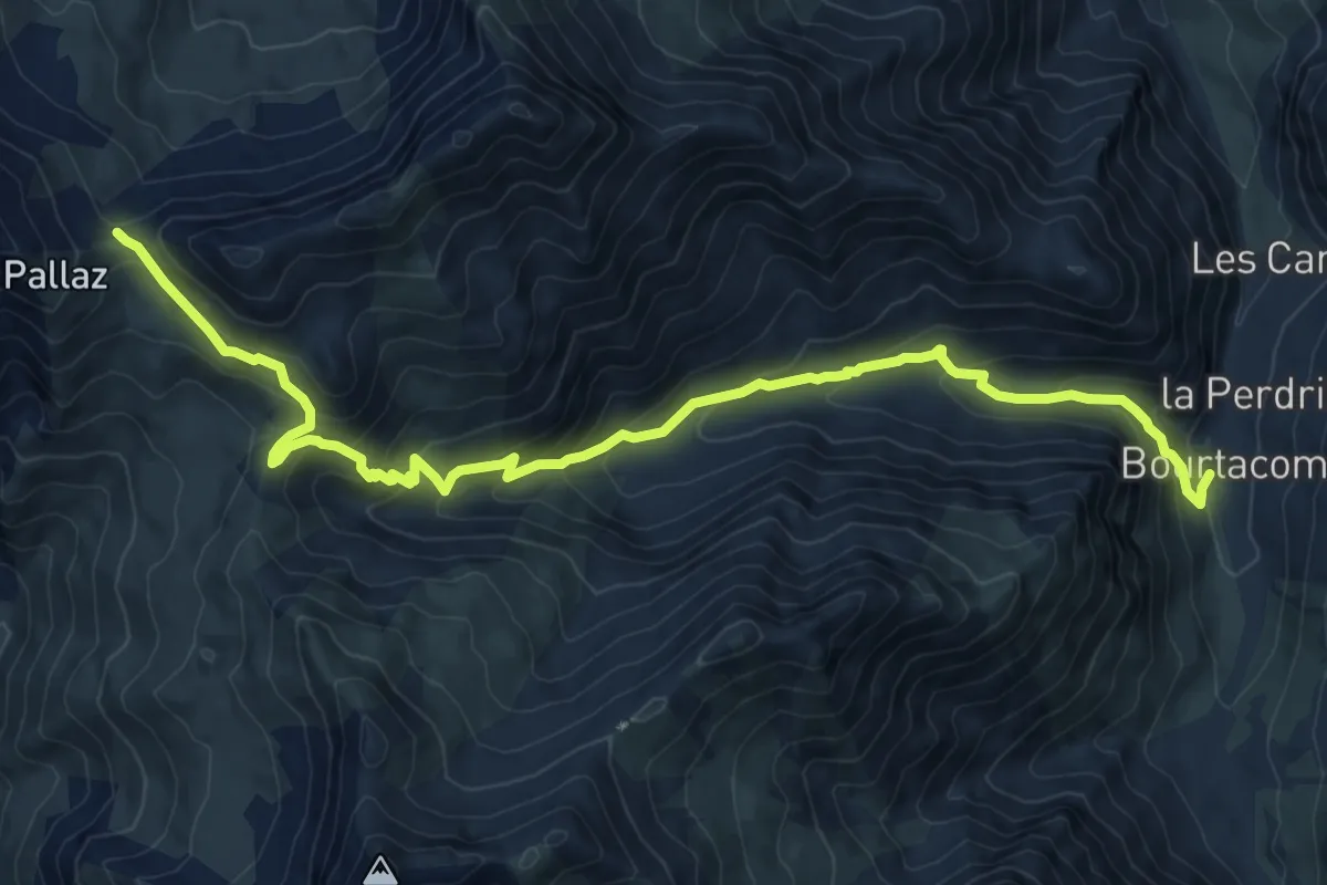
Demanding · Trail
Sentier du col du Bonnet du Prêtre
11.7 km · ↑ 804 m · 4 h 30 min
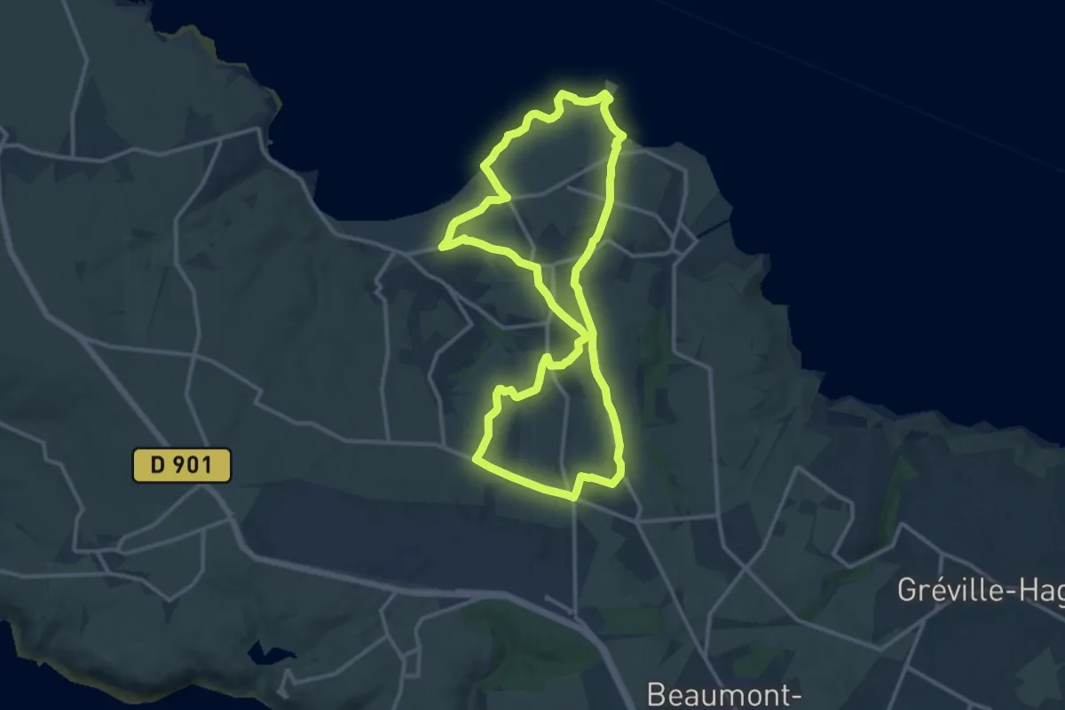
Medium · Trail
Sentier du Corsaire
12.2 km · ↑ 182 m · 3 h 27 min
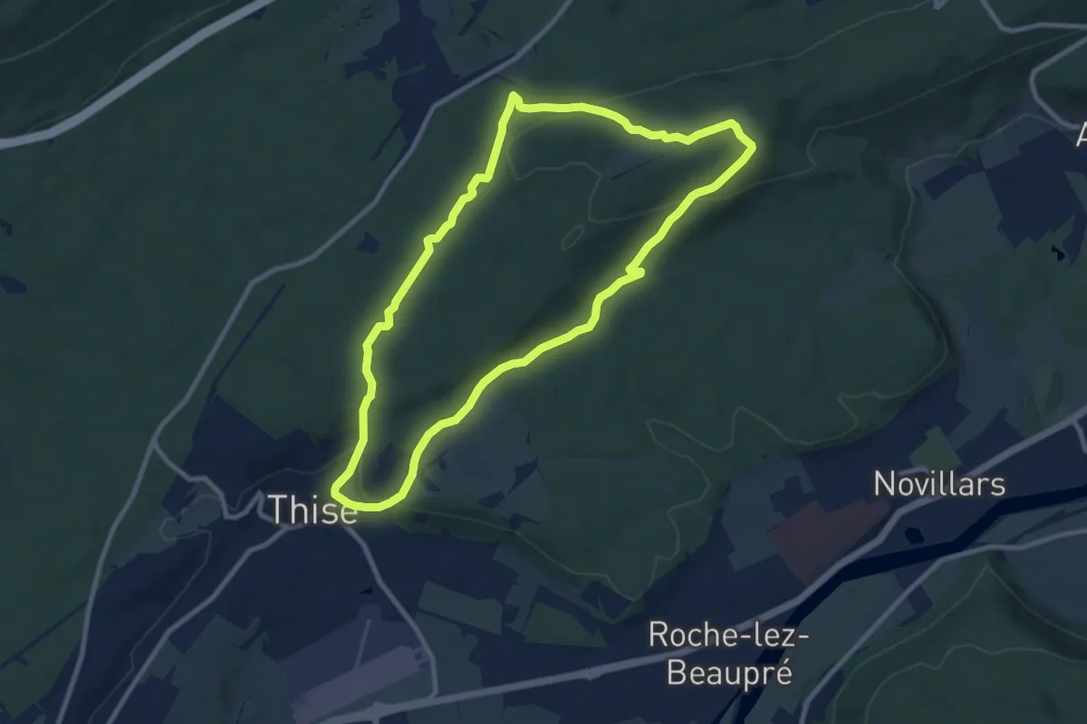
Medium · Trail
Sentier du Coutelot
9.0 km · ↑ 255 m · 2 h 48 min
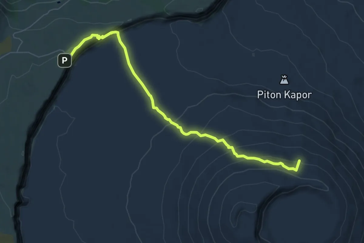
Demanding · Summit
Sentier du Cratère Dolomieu
9.1 km · ↑ 473 m · 3 h 11 min
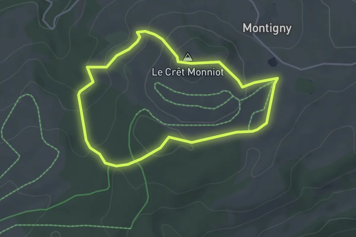
Easy · Summit
Sentier du Crêt Monniot
3.2 km · ↑ 102 m · 1 h 1 min
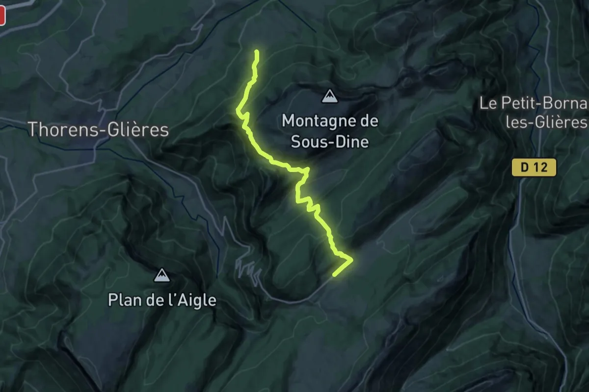
Demanding · Trail
Sentier du Dernier Assault
17.6 km · ↑ 1192 m · 6 h 44 min
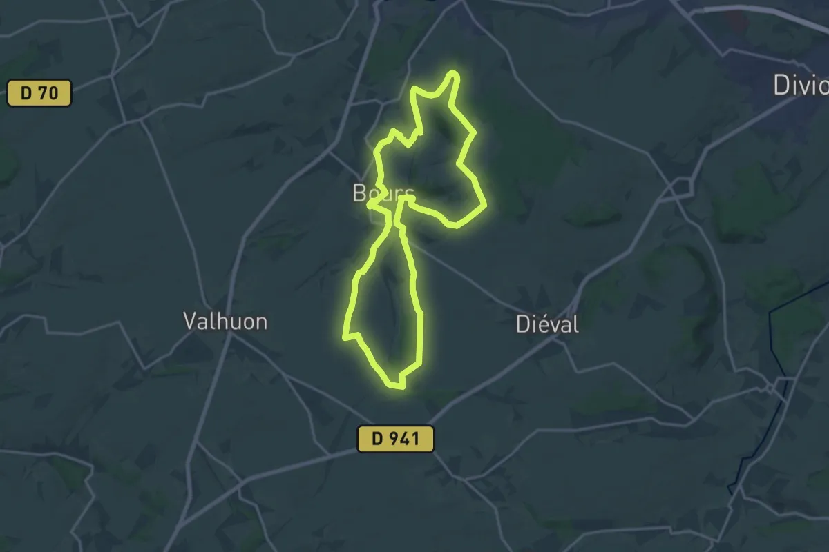
Medium · Trail
Sentier du Donjon
15.1 km · ↑ 163 m · 4 h 7 min
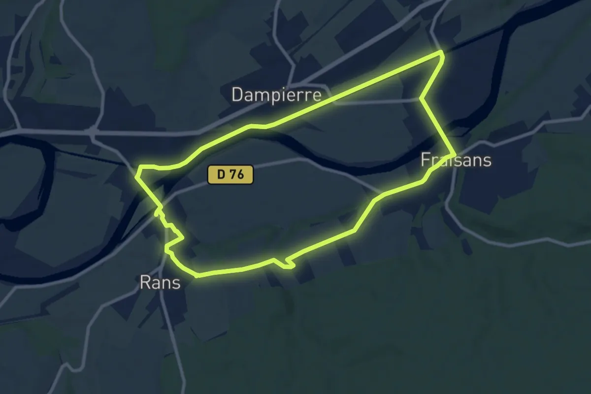
Medium · Trail
Sentier du Doubs
8.3 km · ↑ 76 m · 2 h 15 min
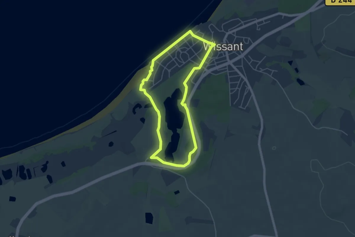
Easy · Trail
Sentier du Fartz
4.0 km · ↑ 25 m · 1 h 3 min
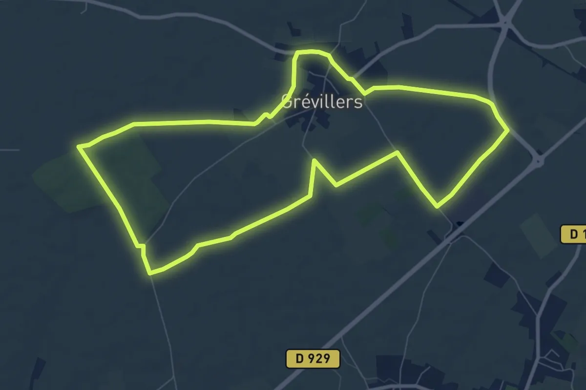
Medium · Trail
Sentier du Florion
8.3 km · ↑ 36 m · 2 h 9 min
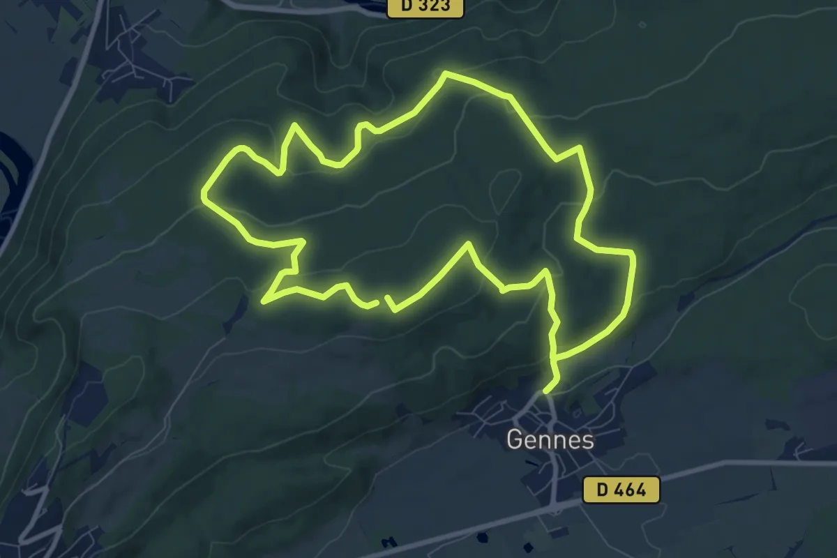
Medium · Summit
Sentier du Fort des Epesses
9.1 km · ↑ 271 m · 2 h 52 min
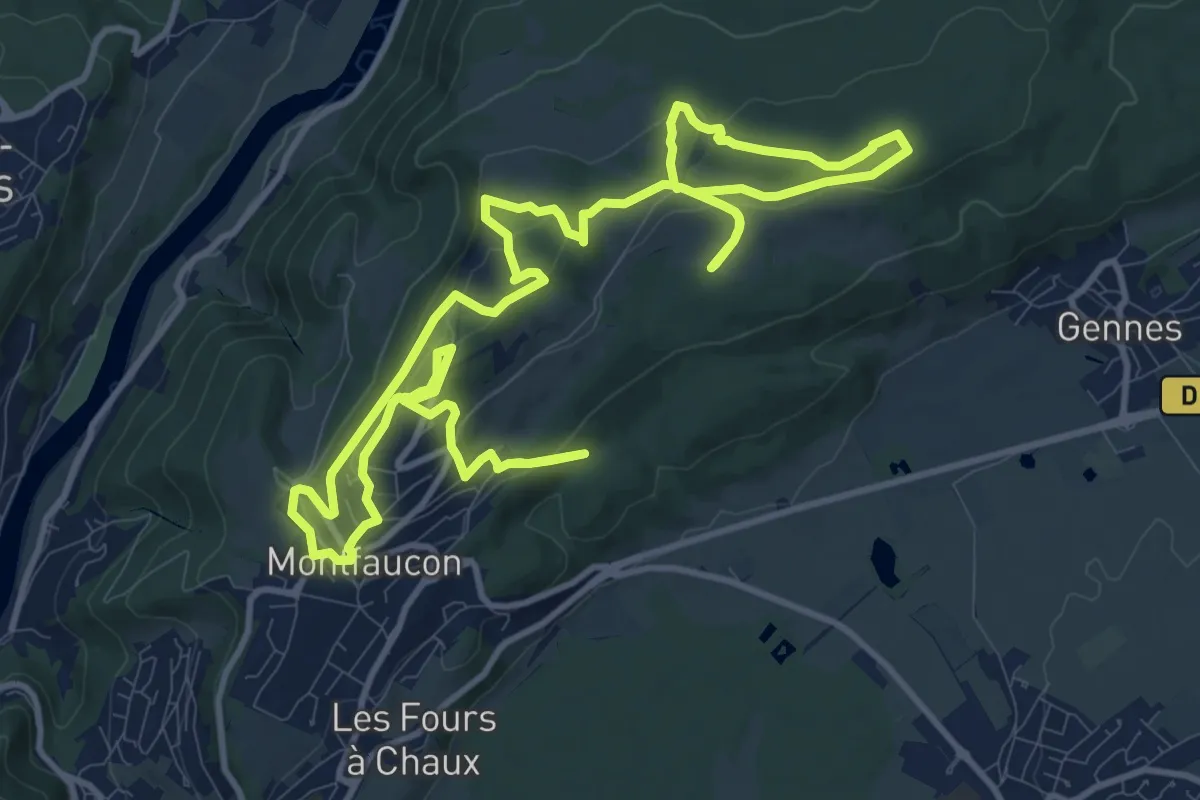
Medium · Summit
Sentier du Fort et des Batteries
10.5 km · ↑ 264 m · 3 h 13 min
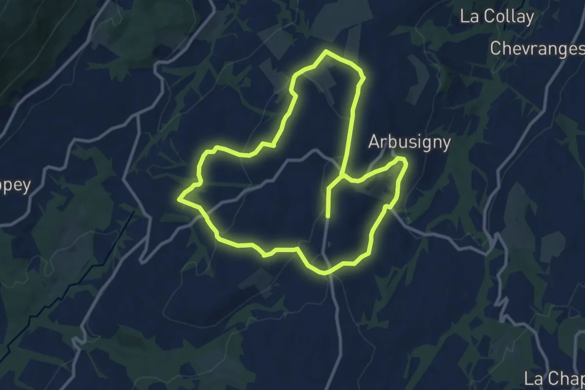
Medium · Trail
Sentier du Four
8.4 km · ↑ 224 m · 2 h 34 min
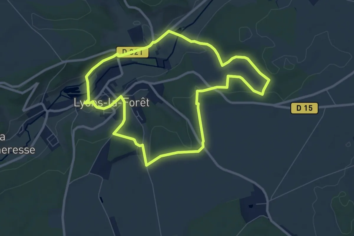
Easy · Trail
Sentier du Four à Chaux
6.7 km · ↑ 113 m · 1 h 55 min
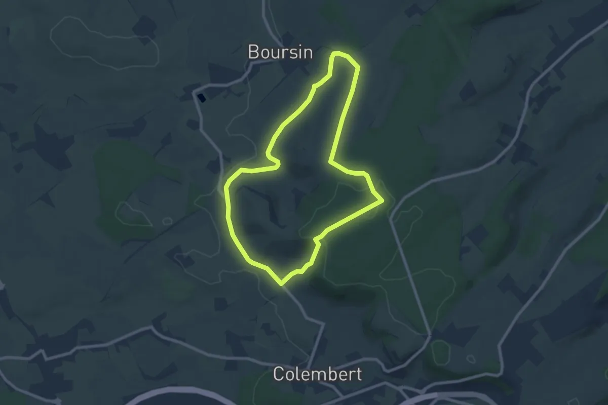
Easy · Trail
Sentier du Funquet
6.6 km · ↑ 106 m · 1 h 53 min
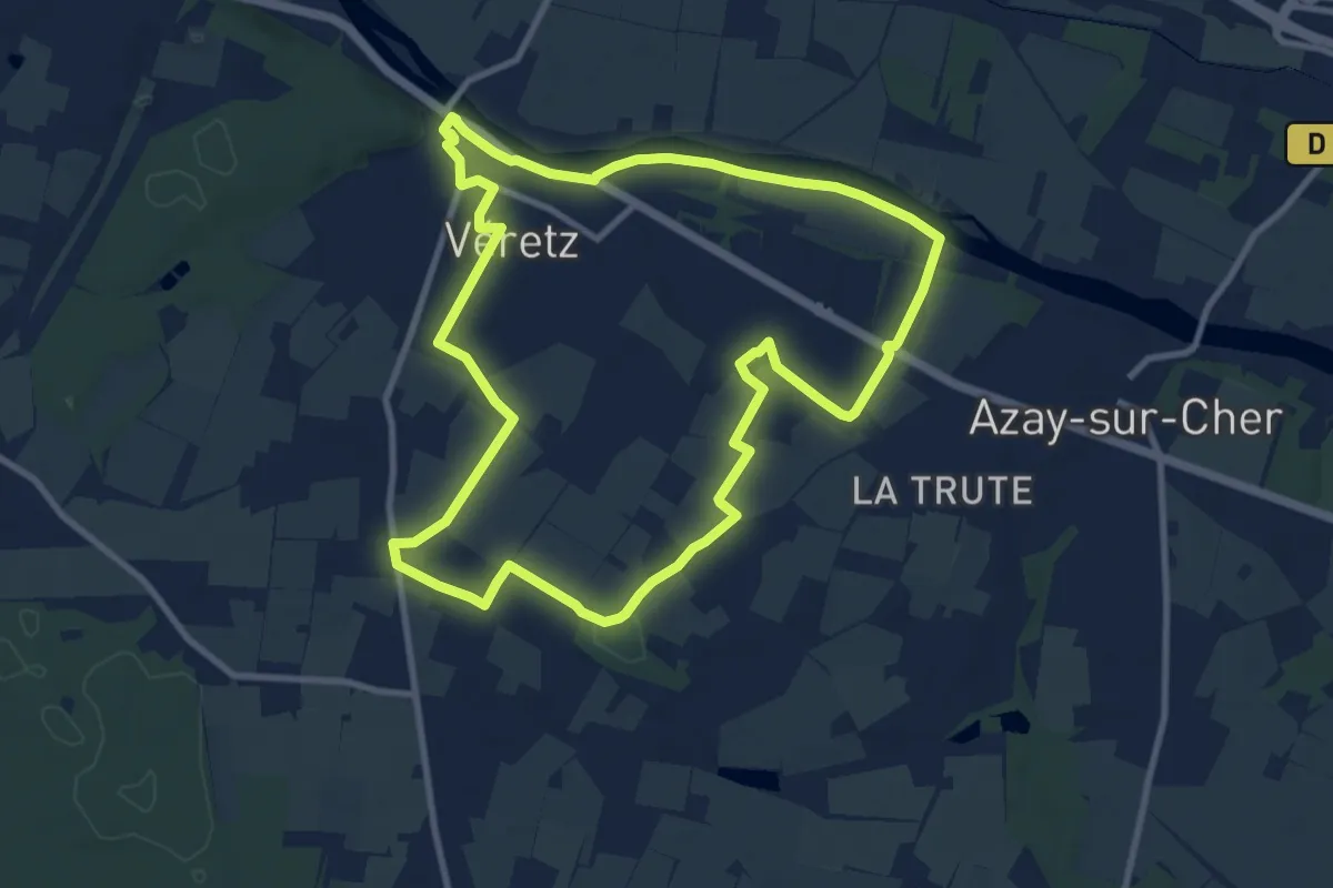
Medium · Trail
Sentier du Futreau - Véretz
9.9 km · ↑ 62 m · 2 h 36 min
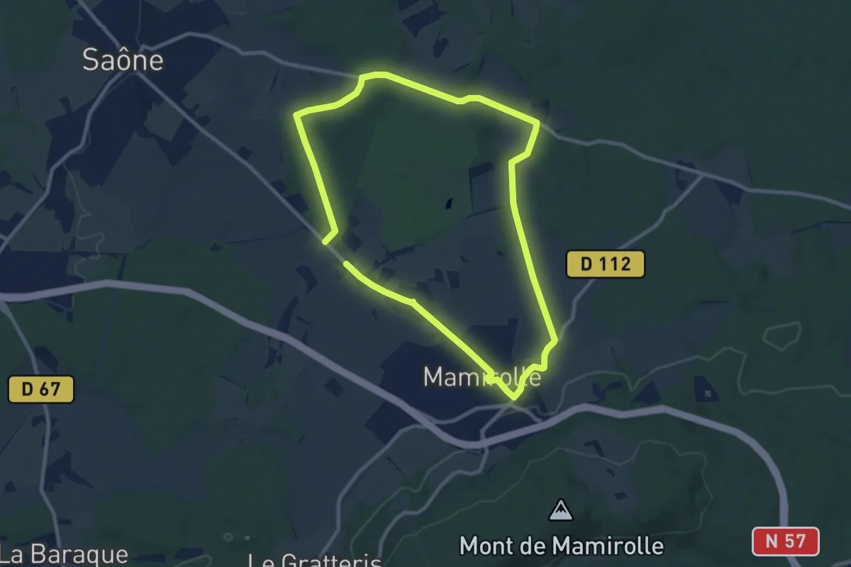
Medium · Trail
Sentier du Golf
8.4 km · ↑ 106 m · 2 h 20 min
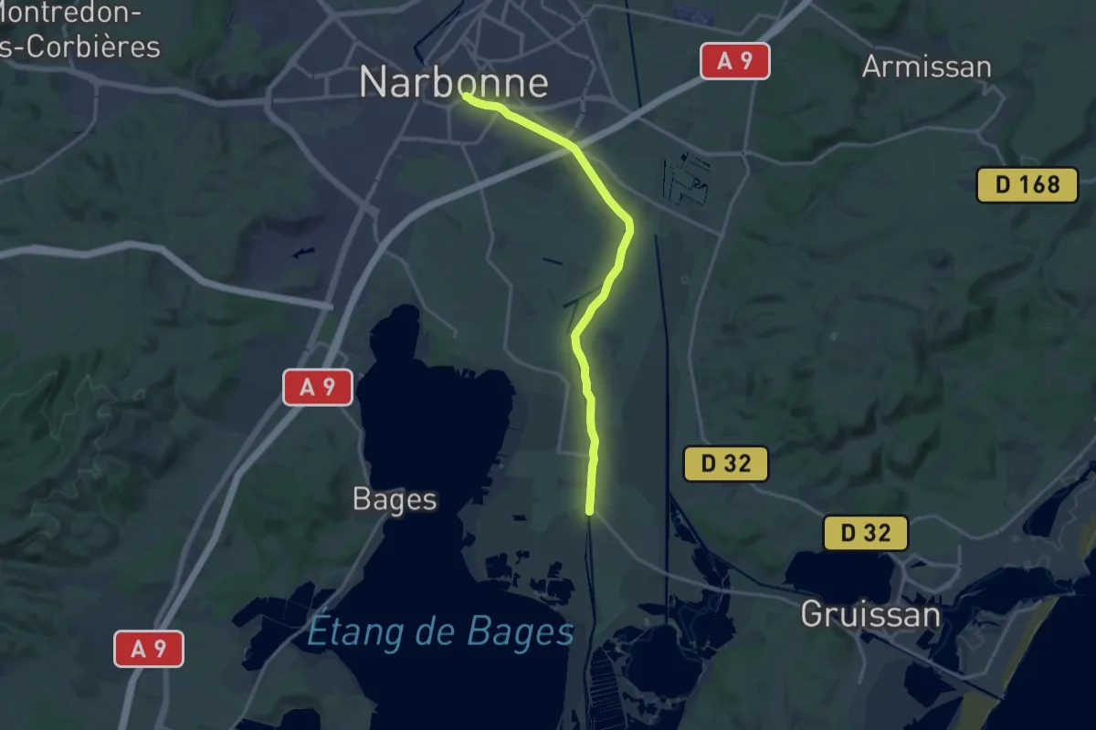
Medium · Trail
Sentier du golfe Antique - partie 1
16.7 km · ↑ 8 m · 3 h 58 min
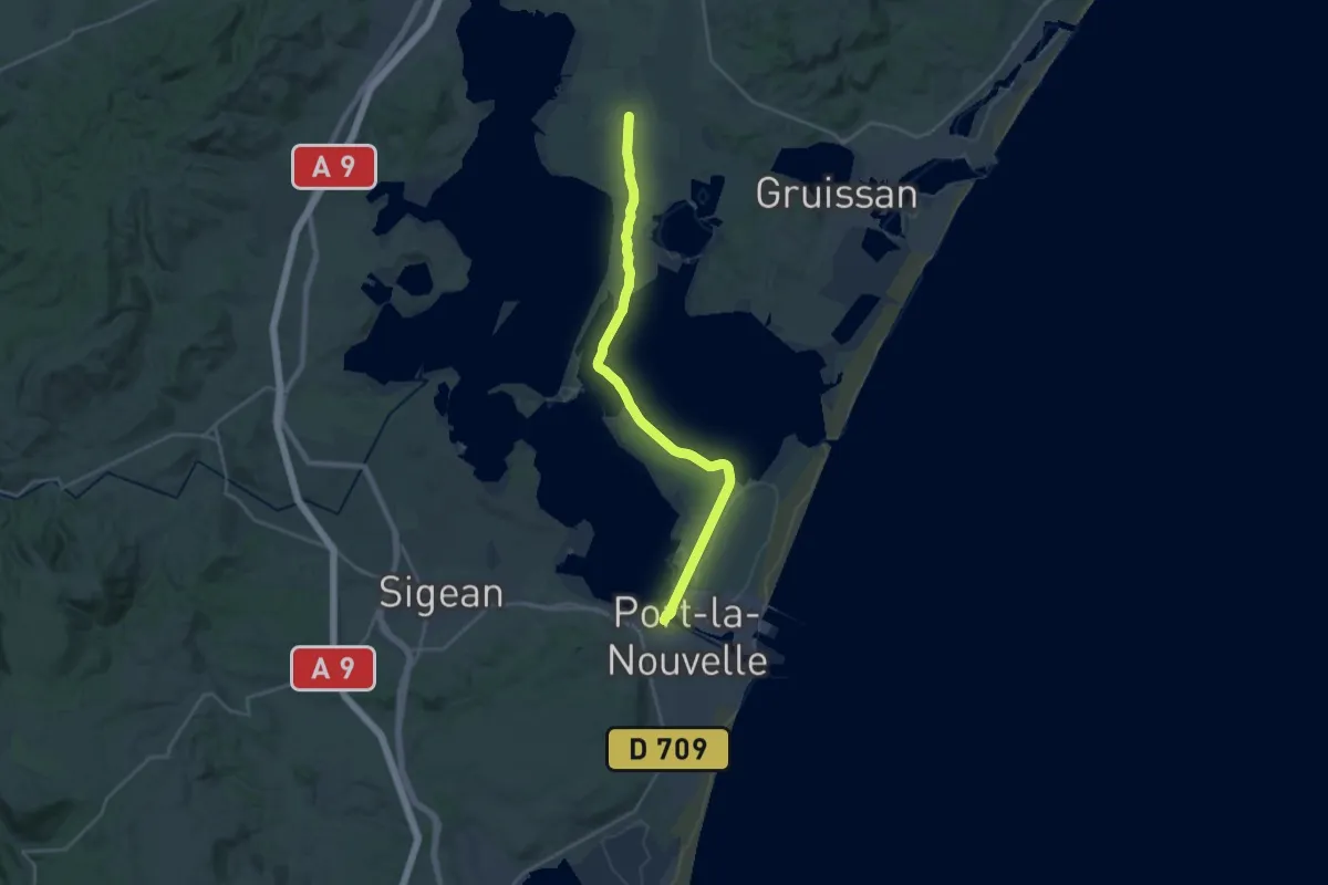
Demanding · Trail
Sentier du golfe Antique - partie 2
26.3 km · ↑ 4 m · 6 h 13 min
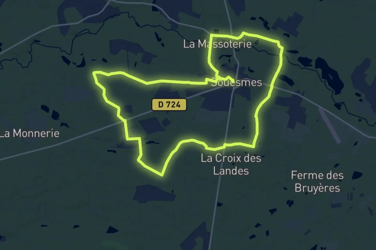
Medium · Trail
Sentier du Grand-Gué
16.7 km · ↑ 38 m · 4 h 15 min
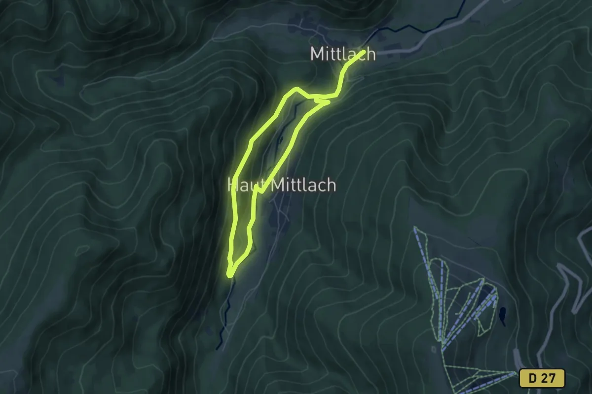
Easy · Trail
Sentier du grand Tétras
4.5 km · ↑ 230 m · 1 h 36 min
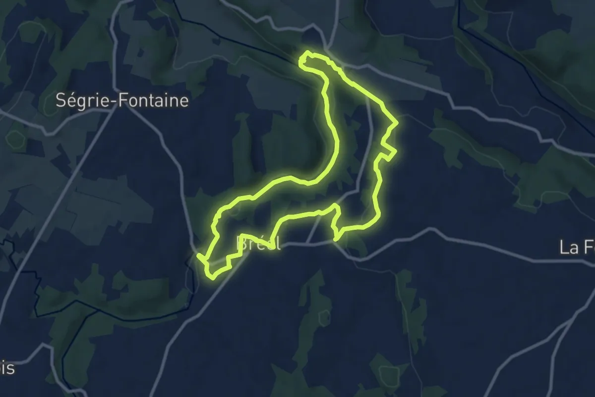
Medium · Trail
Sentier du granite
8.5 km · ↑ 199 m · 2 h 34 min
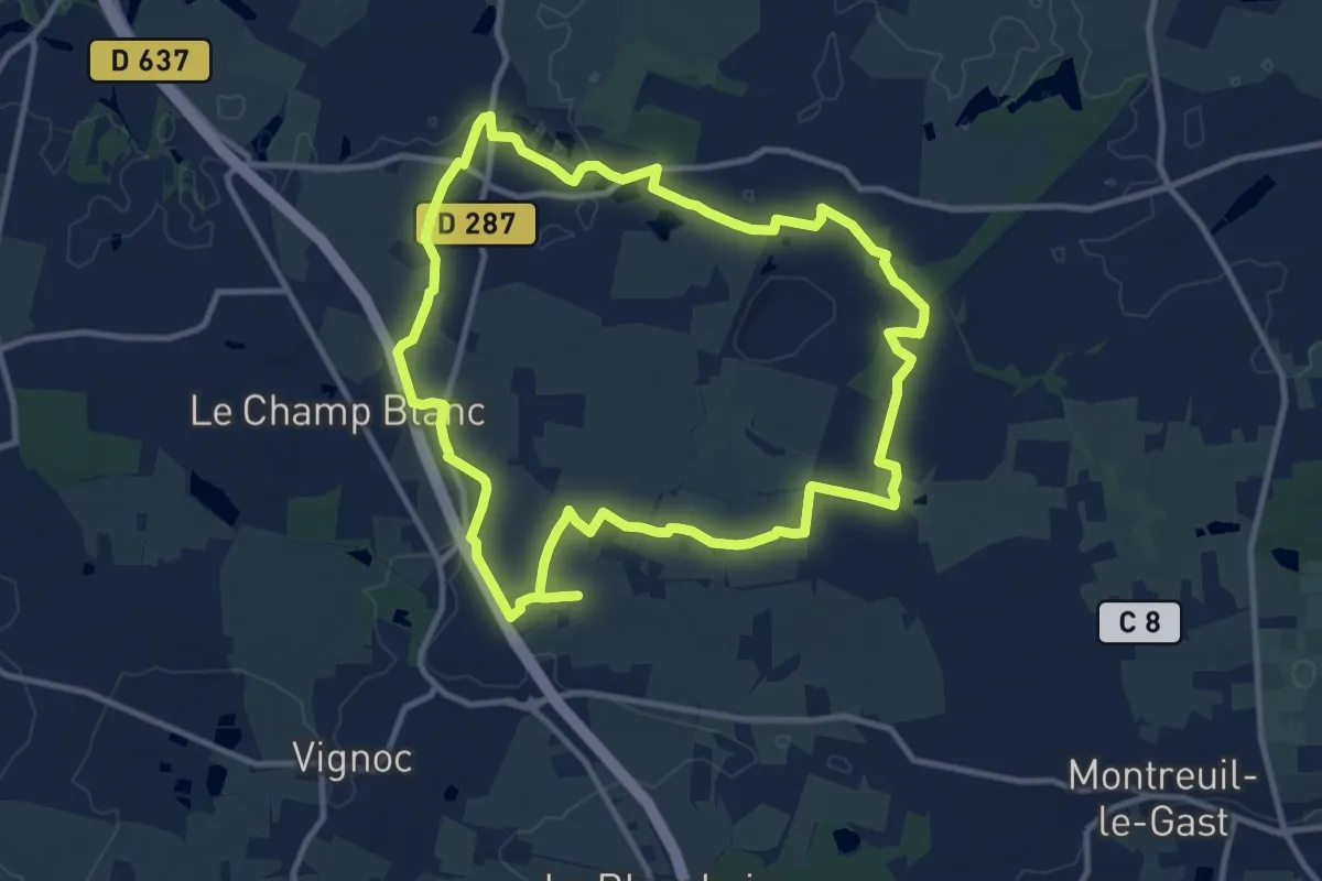
Medium · Trail
Sentier du Gripail
10.8 km · ↑ 44 m · 2 h 48 min
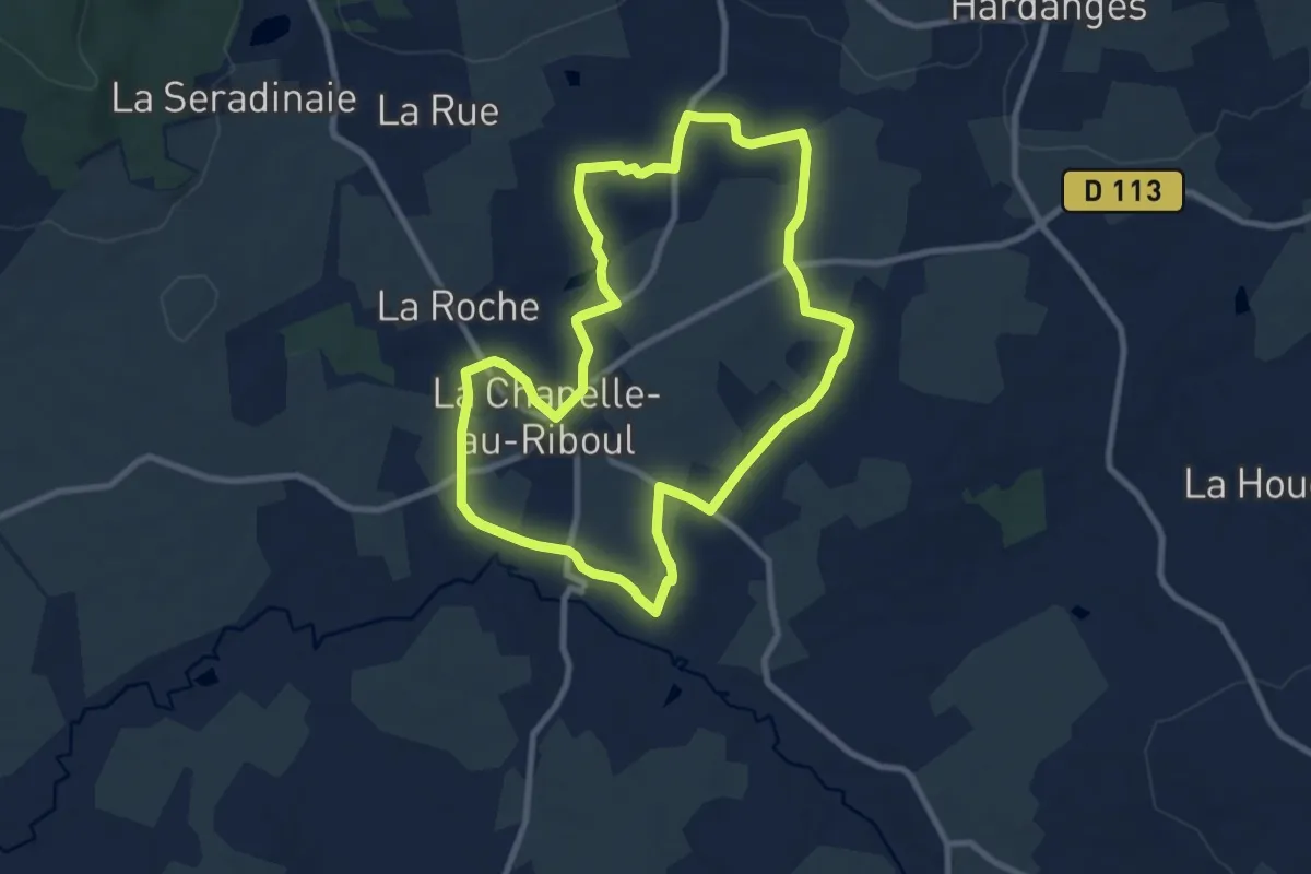
Medium · Trail
Sentier du Gué Marie
8.5 km · ↑ 72 m · 2 h 17 min
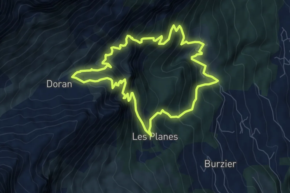
Medium · Trail
Sentier du Gypaète
7.5 km · ↑ 776 m · 3 h 33 min
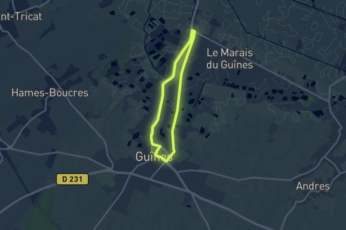
Easy · Trail
Sentier du Halage
5.7 km · ↑ 8 m · 1 h 27 min
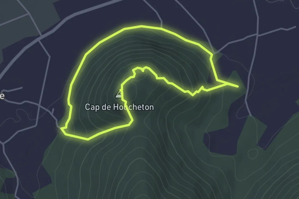
Easy · Summit
Sentier du Houcheton
3.7 km · ↑ 174 m · 1 h 19 min
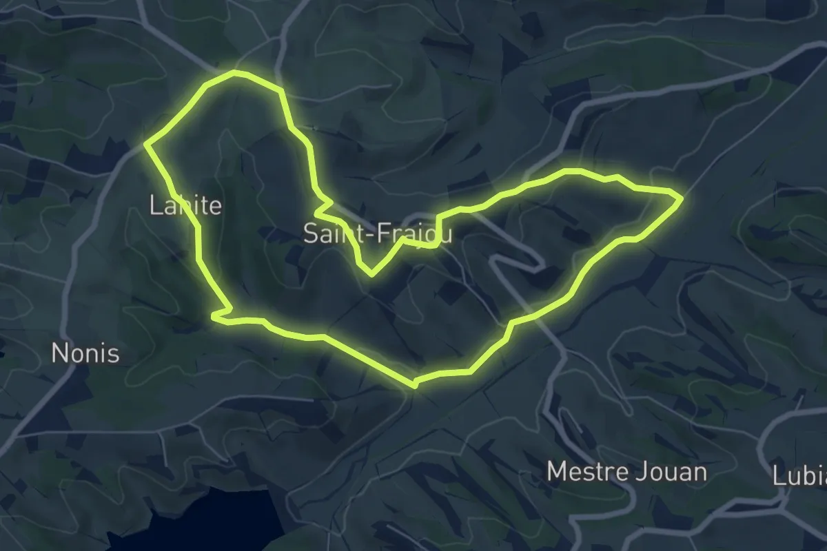
Easy · Trail
Sentier du Lac
7.4 km · ↑ 157 m · 2 h 12 min