Trails in France
15,906 hiking trails, each with its route, climb, walking time and grade.
All trails, page 42 of 332
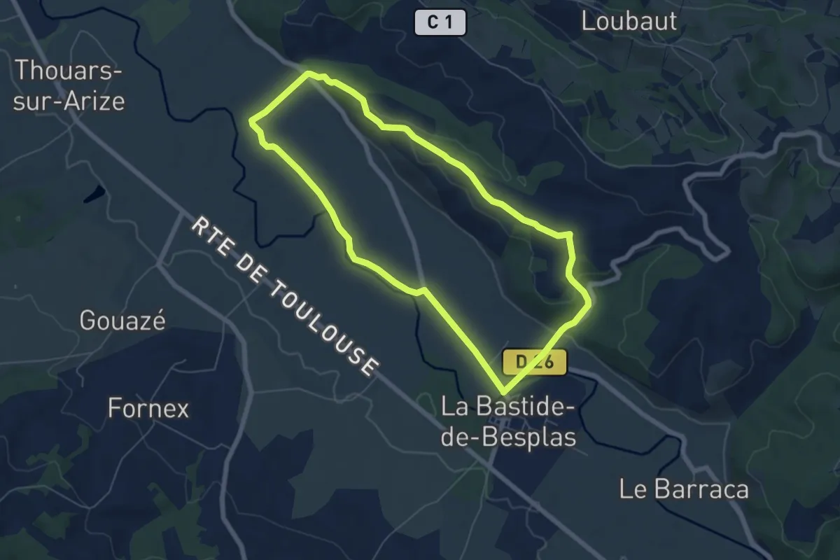
Easy · Trail
Chemin des crêtes
6.2 km · ↑ 98 m · 1 h 46 min
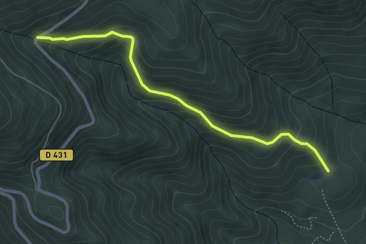
Medium · Trail
Chemin des Dames
4.8 km · ↑ 333 m · 1 h 51 min
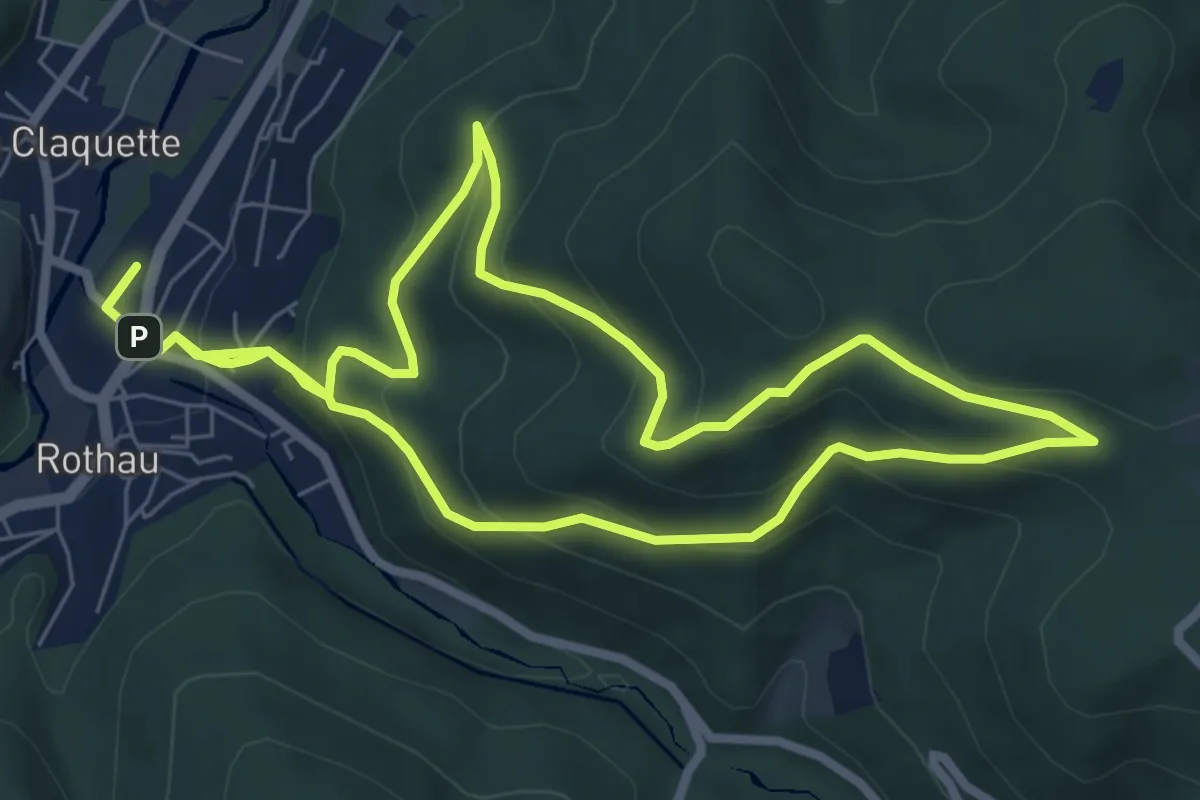
Medium · Trail
Chemin des déportés
14.7 km · ↑ 781 m · 5 h 10 min
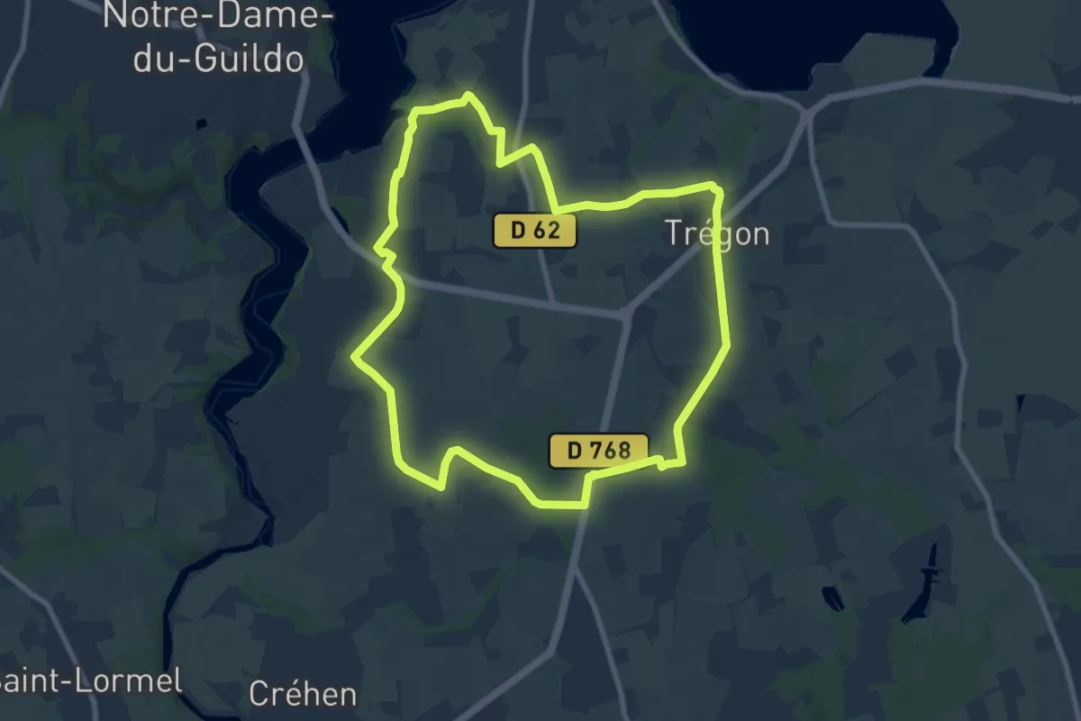
Medium · Trail
Chemin des Dolmens
8.3 km · ↑ 61 m · 2 h 12 min
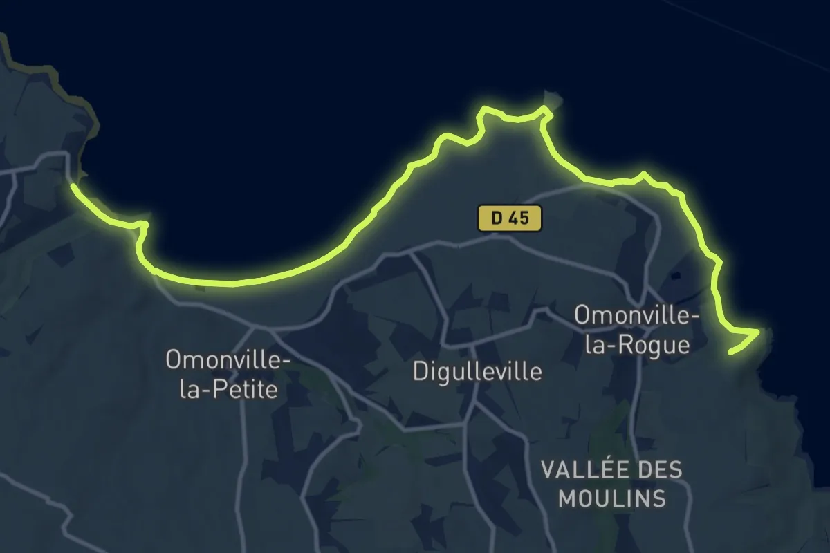
Medium · Trail
Chemin des Douaniers
14.3 km · ↑ 71 m · 3 h 31 min
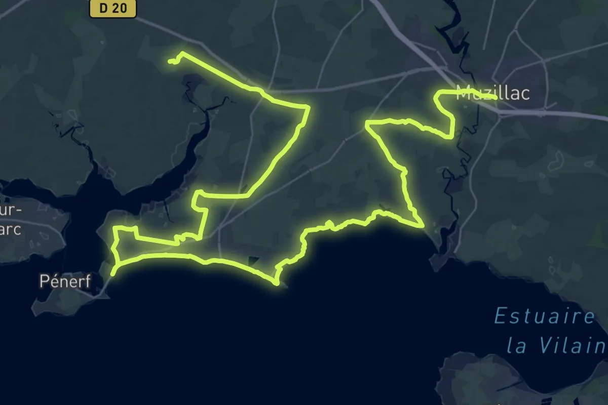
Demanding · Trail
Chemin des Douaniers, Ambon - Muzillac
31.0 km · ↑ 89 m · 7 h 57 min
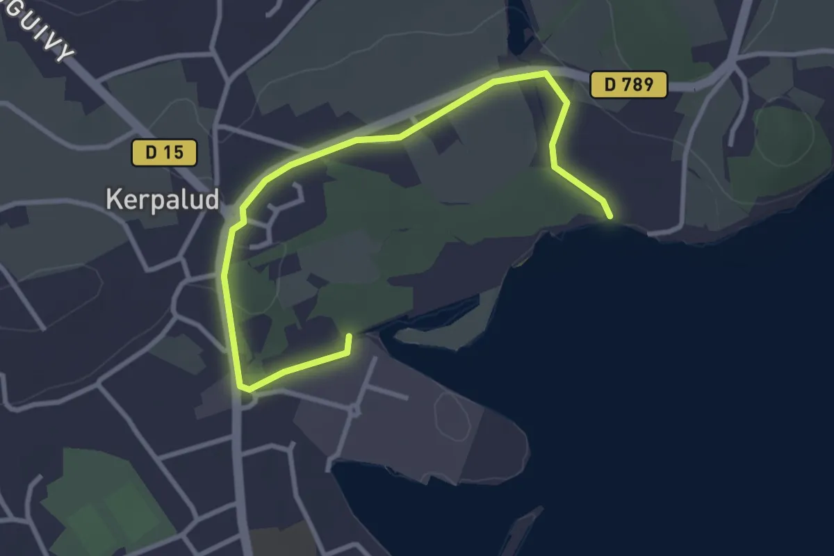
Easy · Trail
Chemin des Douaniers, Brehec - Keriec, variante marée haute
3.3 km · ↑ 29 m · 50 min
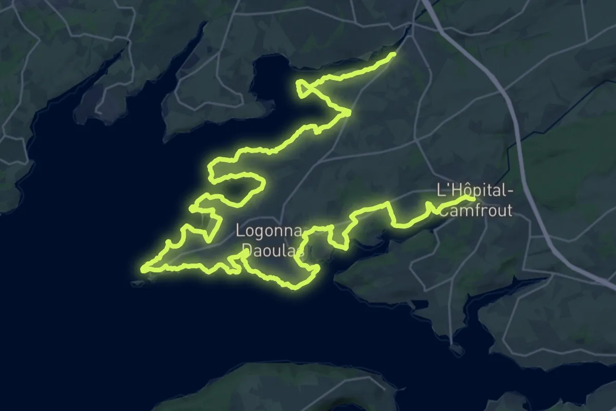
Demanding · Trail
Chemin des Douaniers, Brest - Le Faou, variante côtière
27.4 km · ↑ 287 m · 7 h 28 min
Medium · Trail
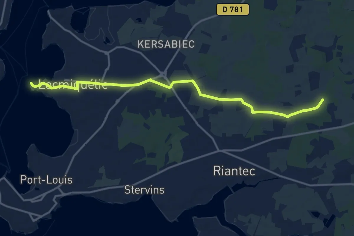
Chemin des Douaniers, Concarneau - Le Magouëro variante par Batobus
10.4 km · ↑ 48 m · 2 h 33 min
Easy · Trail
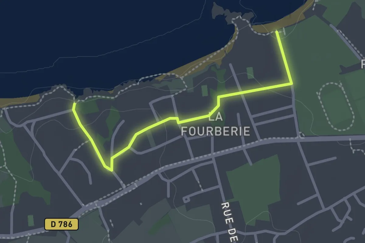
Chemin des Douaniers, La Rance - Erquy, variante marée haute
2.4 km · ↑ 43 m · 39 min
Easy · Trail
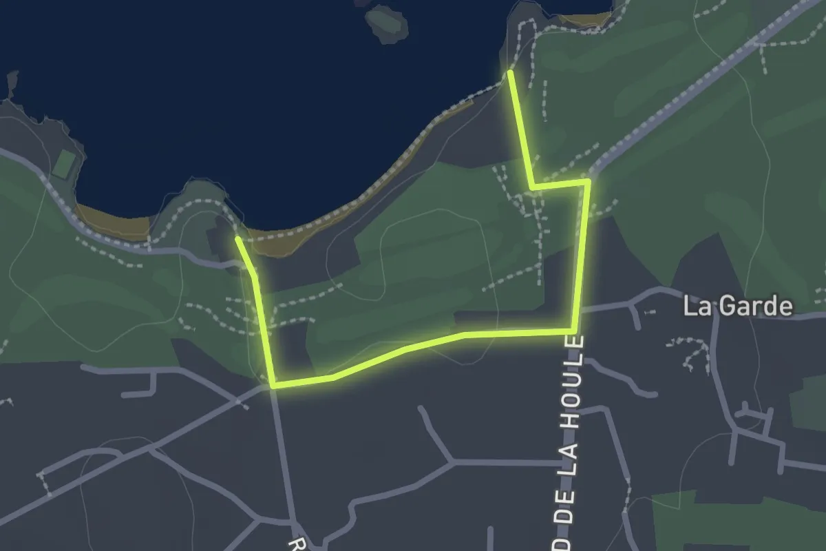
Chemin des Douaniers, La Rance - Erquy, variante marée haute
2.3 km · ↑ 20 m · 35 min
Demanding · Trail
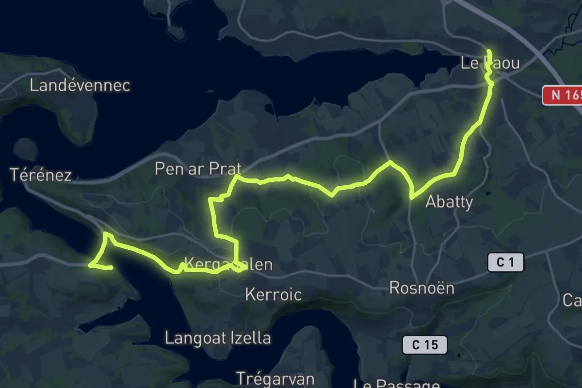
Chemin des Douaniers, Le Faou - Marros
24.0 km · ↑ 626 m · 7 h 1 min
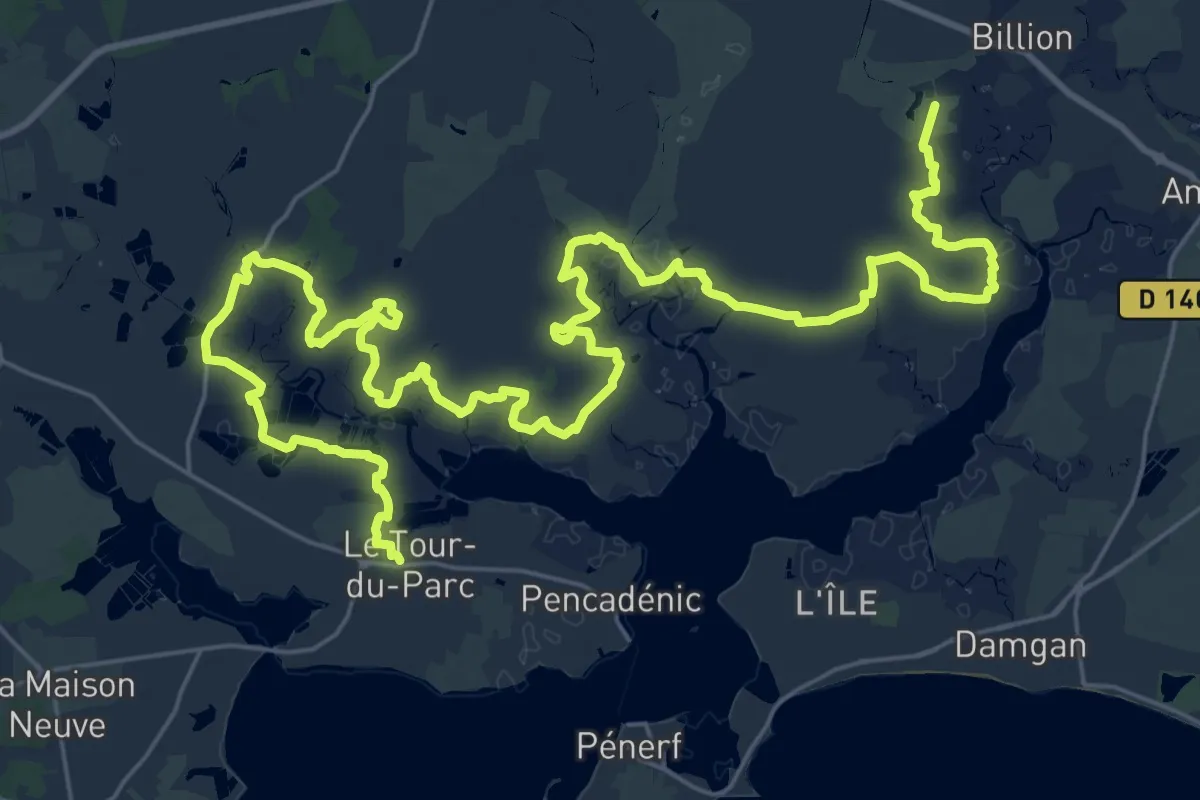
Demanding · Trail
Chemin des Douaniers, Le Tour-du-Parc - Ambon
20.6 km · ↑ 60 m · 5 h 17 min
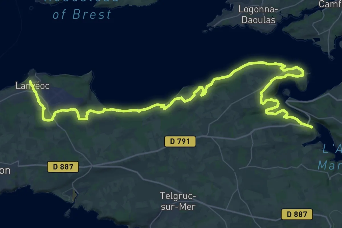
Demanding · Trail
Chemin des Douaniers, Marros - Lanvéoc
29.1 km · ↑ 693 m · 8 h 45 min
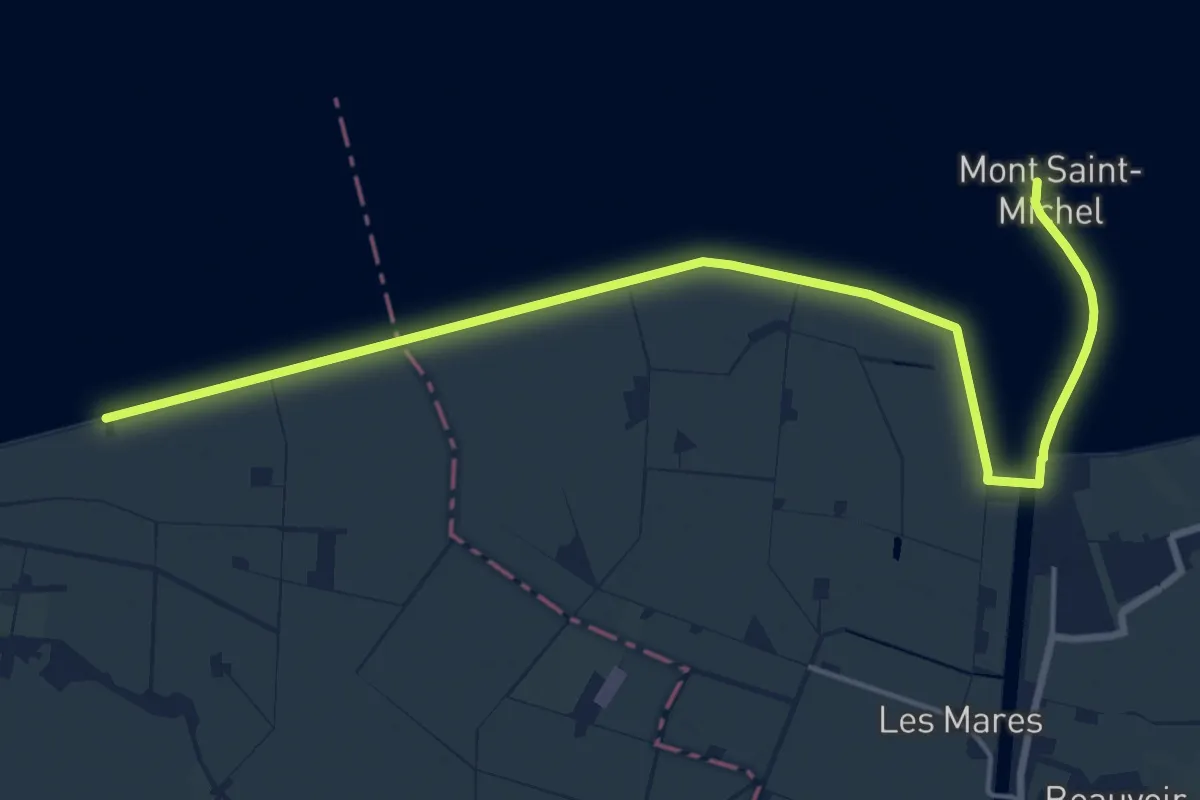
Demanding · Summit
Chemin des Douaniers, Mont Saint-Michel - Saint-Méloir-des-Ondes
19.4 km · ↑ 44 m · 4 h 40 min
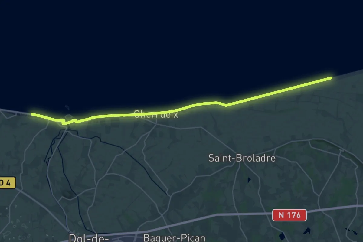
Demanding · Trail
Chemin des Douaniers, Mont Saint-Michel - Saint-Méloir-des-Ondes variante baie
29.7 km · ↑ 17 m · 7 h 2 min
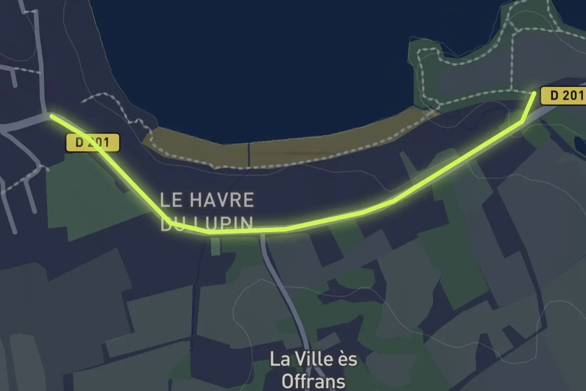
Easy · Trail
Chemin des Douaniers, Saint-Méloir-des-Ondes - La Rance, variante marée haute
2.2 km · ↑ 4 m · 32 min
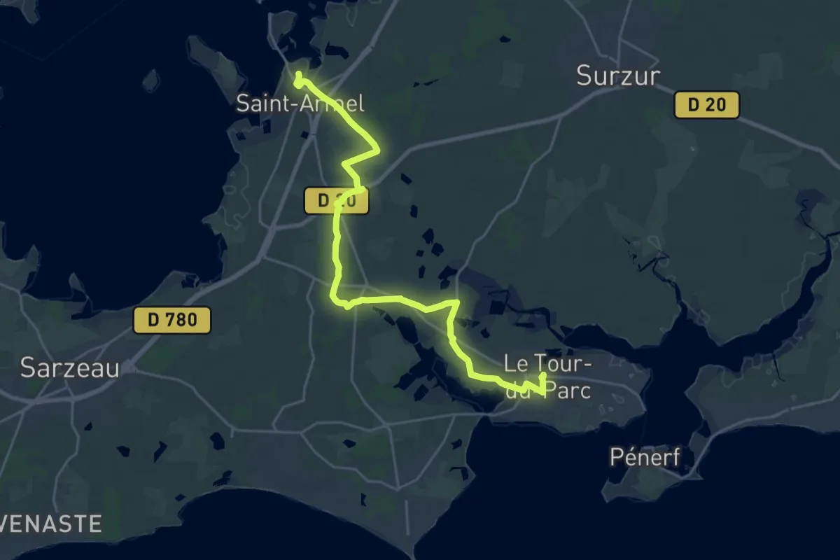
Demanding · Trail
Chemin des Douaniers, variante à vérifier
24.3 km · ↑ 77 m · 5 h 54 min
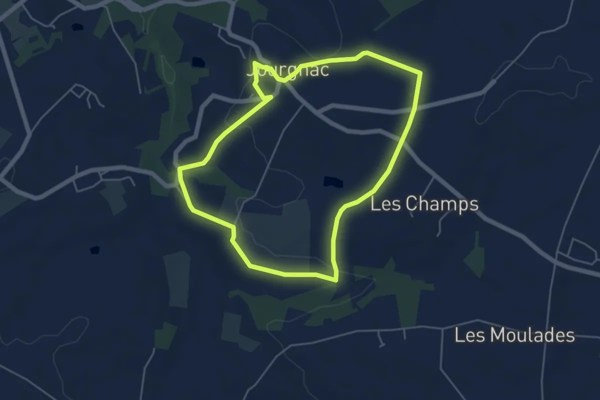
Easy · Trail
Chemin des Écoliers
4.5 km · ↑ 103 m · 1 h 20 min
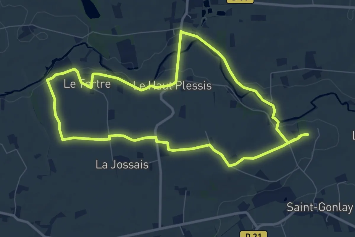
Easy · Trail
Chemin des Écoliers
7.3 km · ↑ 68 m · 1 h 59 min
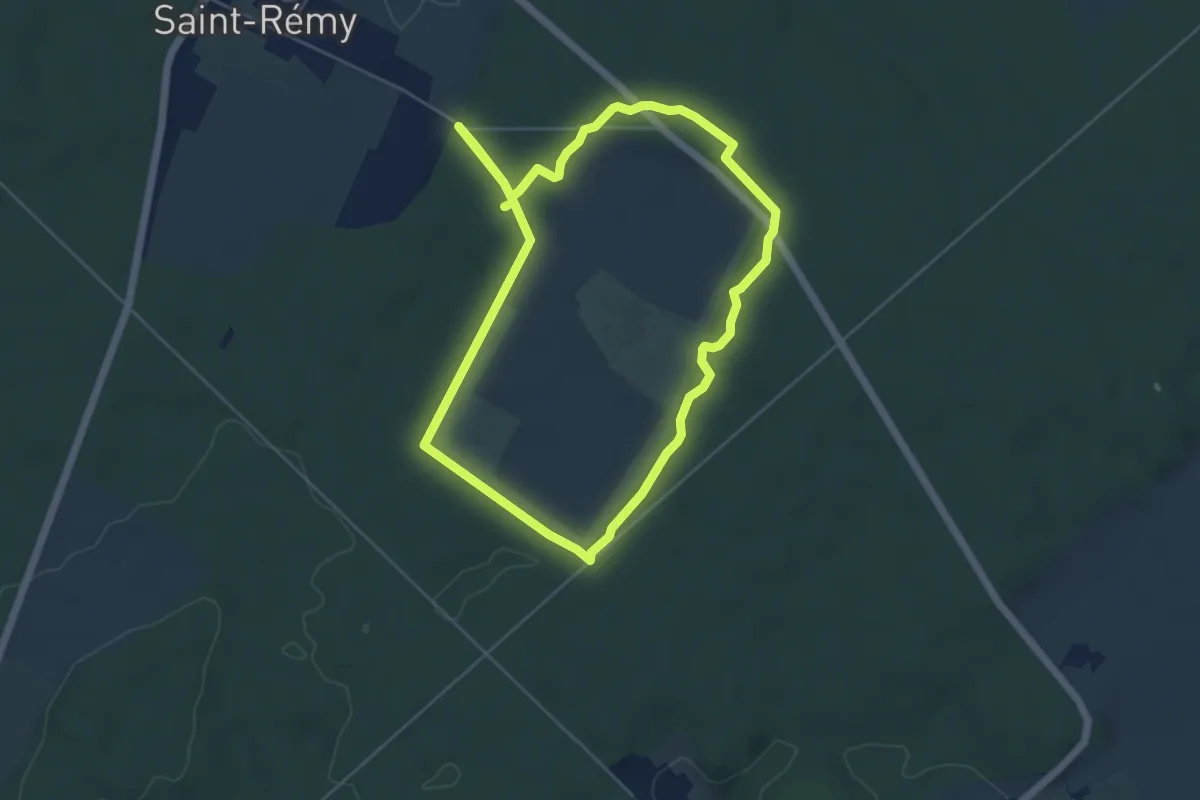
Easy · Trail
Chemin des Écoliers
4.8 km · ↑ 50 m · 1 h 19 min
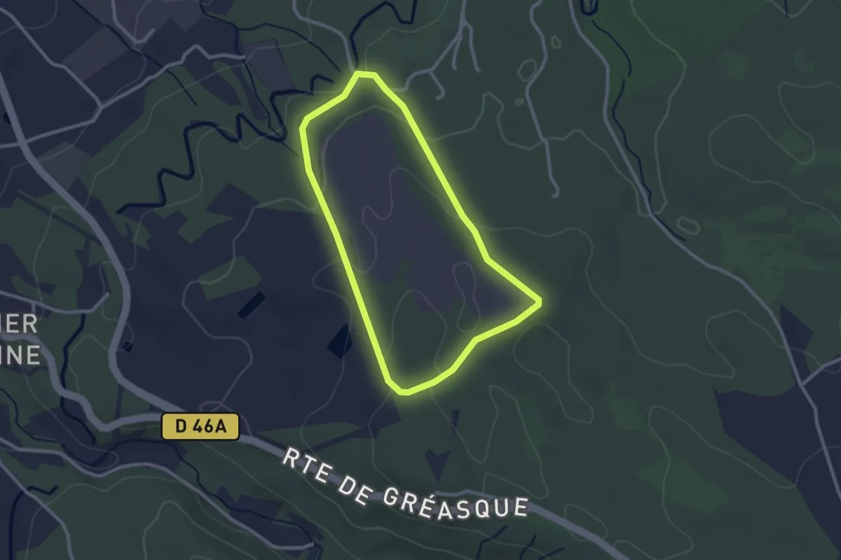
Easy · Trail
Chemin des énergies
2.5 km · ↑ 60 m · 46 min
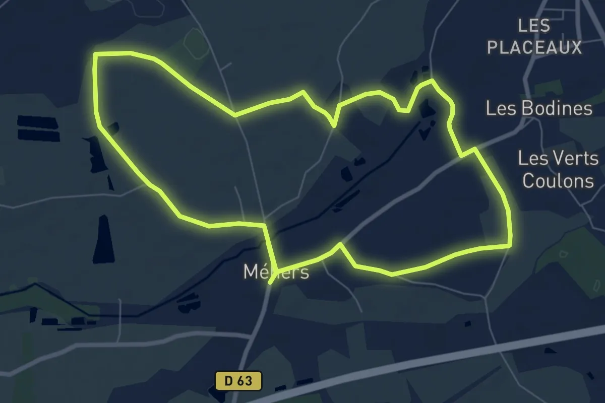
Easy · Trail
Chemin des étangs
7.2 km · ↑ 16 m · 1 h 50 min
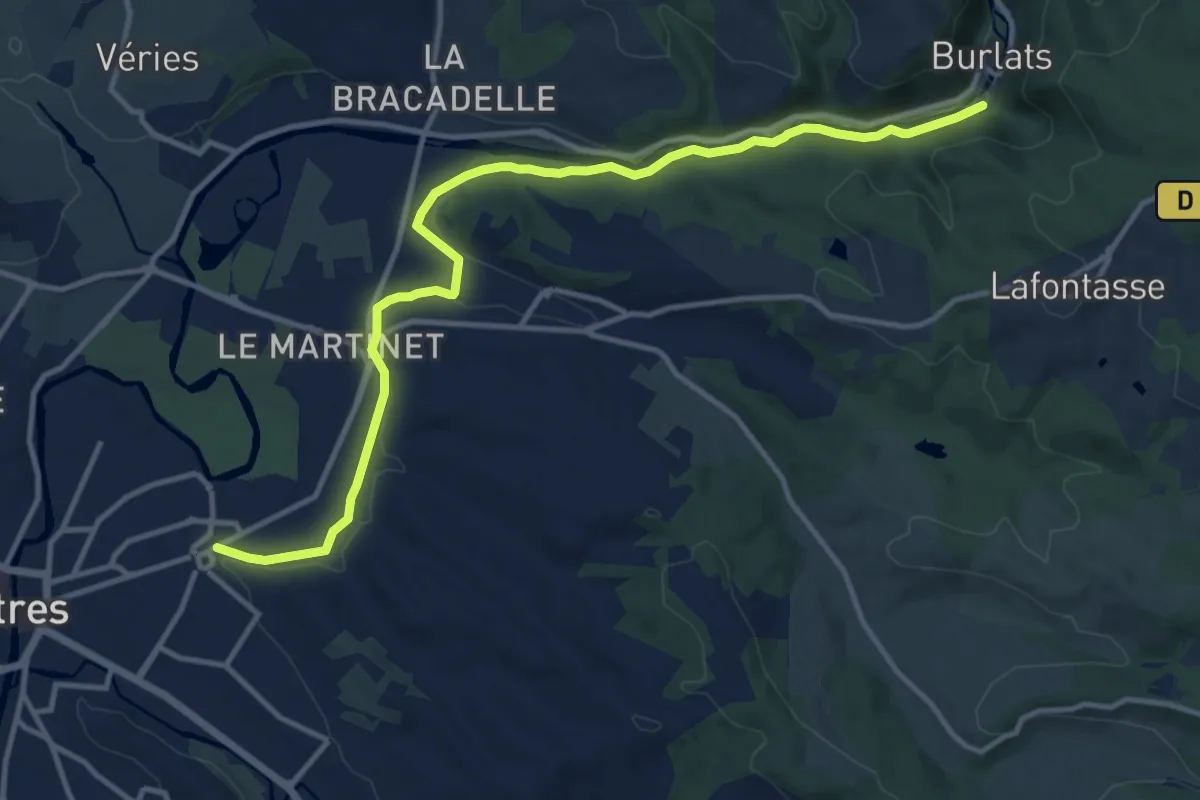
Medium · Trail
Chemin des Fontaines
14.5 km · ↑ 89 m · 3 h 36 min
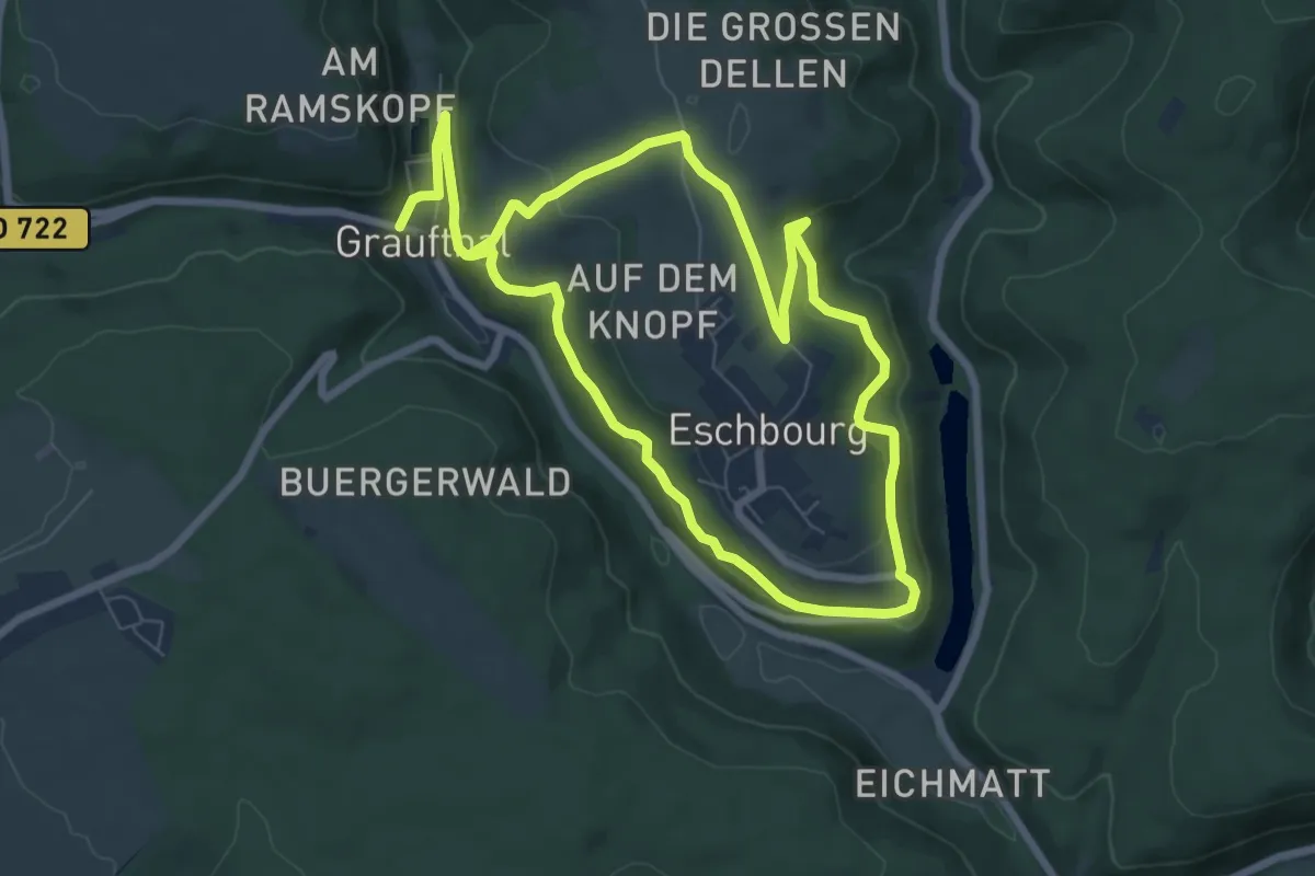
Medium · Trail
Chemin des Fontaines
13.1 km · ↑ 426 m · 4 h 1 min
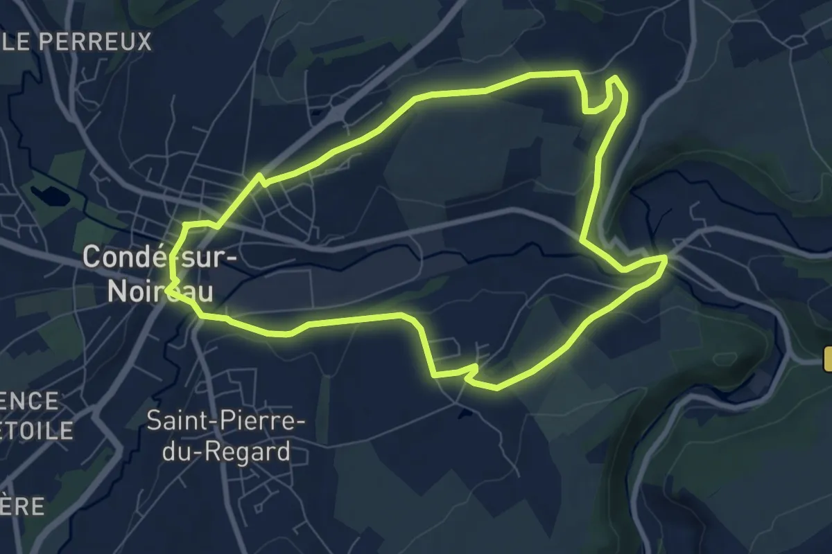
Easy · Trail
Chemin des Genêts
7.3 km · ↑ 126 m · 2 h 6 min
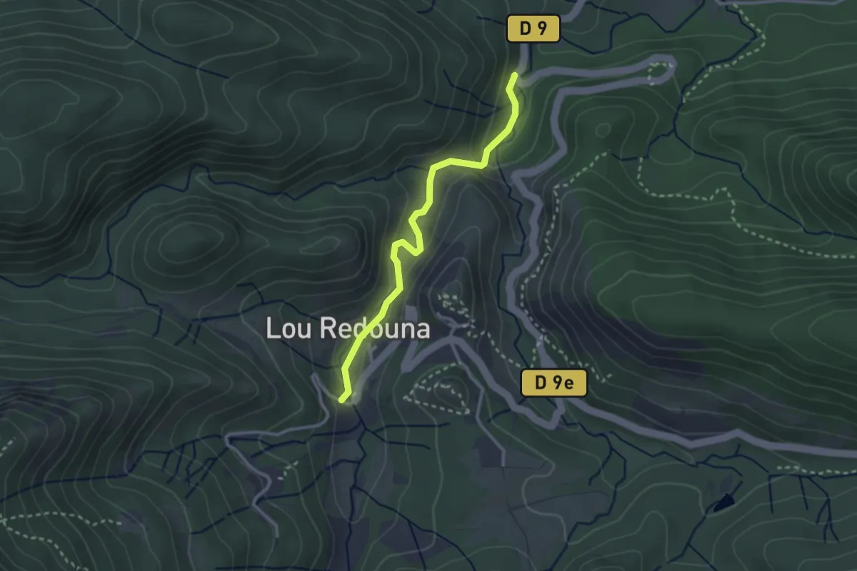
Easy · Trail
Chemin des gorges de Saint-Jaume
2.8 km · ↑ 86 m · 51 min
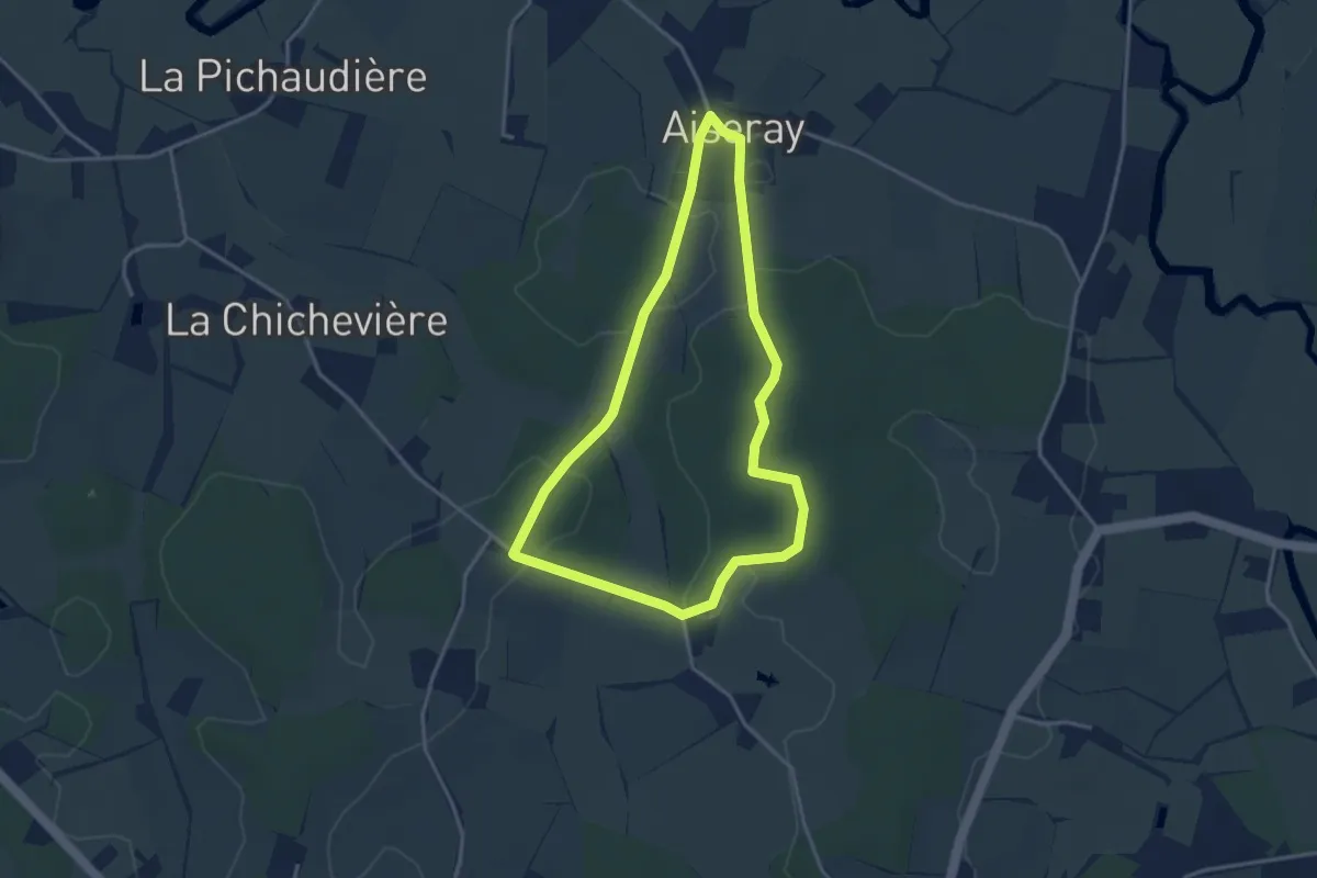
Easy · Trail
Chemin des grands Bois Rebouton
3.3 km · ↑ 38 m · 54 min
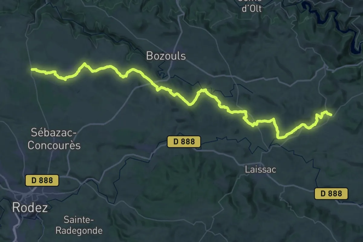
Demanding · Trail
Chemin des Granges Monastiques Fortifiées du Causse Comtal
37.5 km · ↑ 458 m · 10 h 23 min
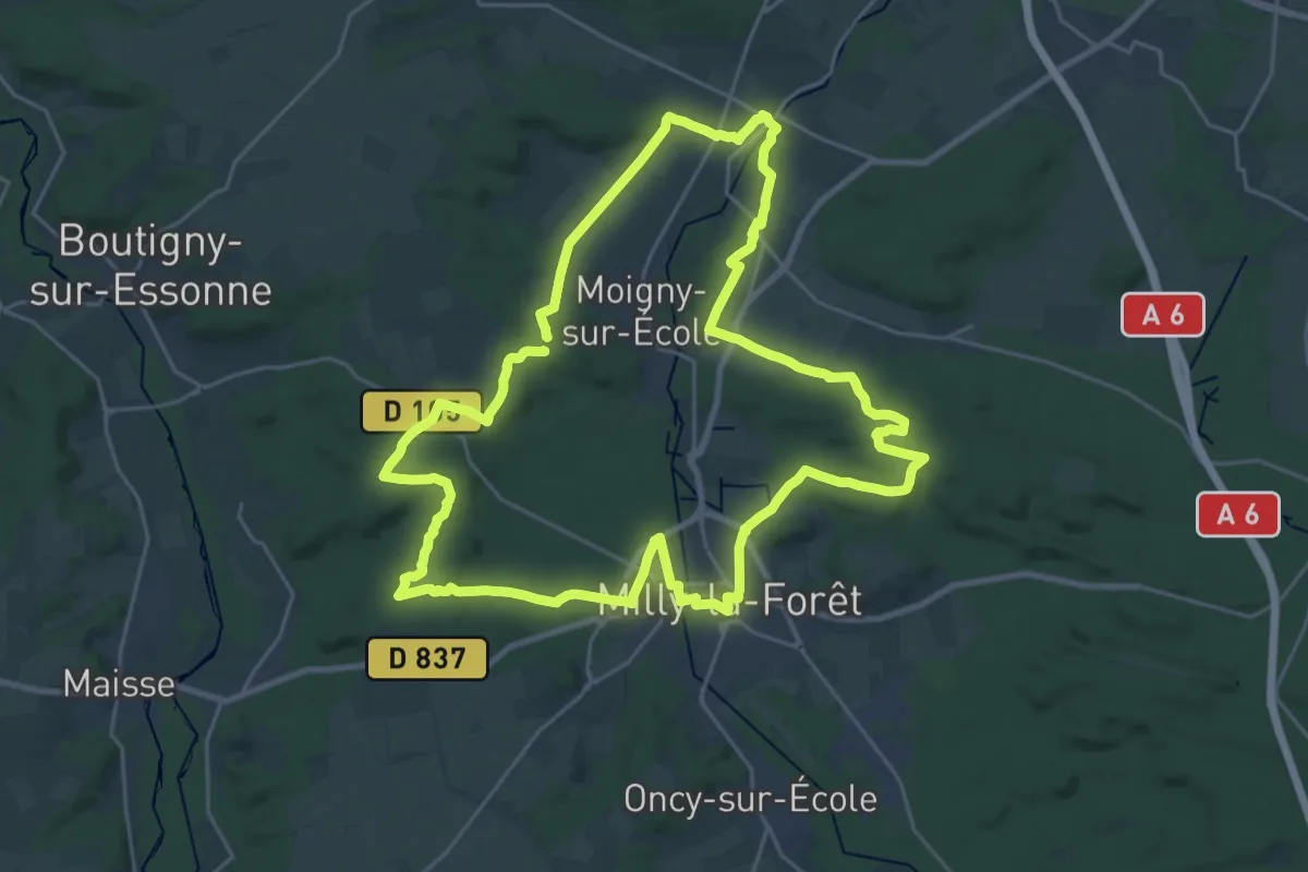
Demanding · Trail
Chemin des Grés et des Bruyères
25.2 km · ↑ 208 m · 6 h 45 min
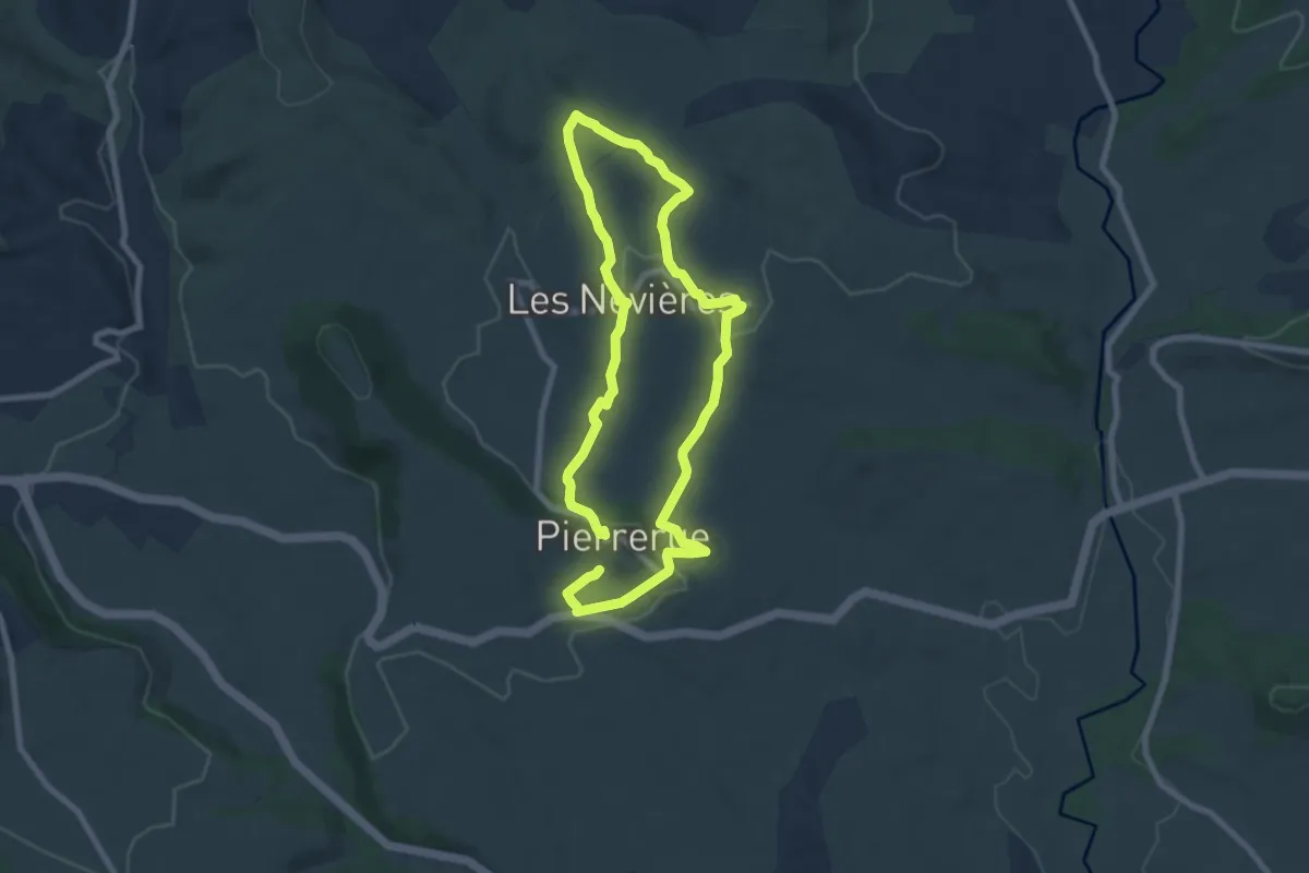
Easy · Trail
Chemin des hameaux
7.4 km · ↑ 207 m · 2 h 17 min
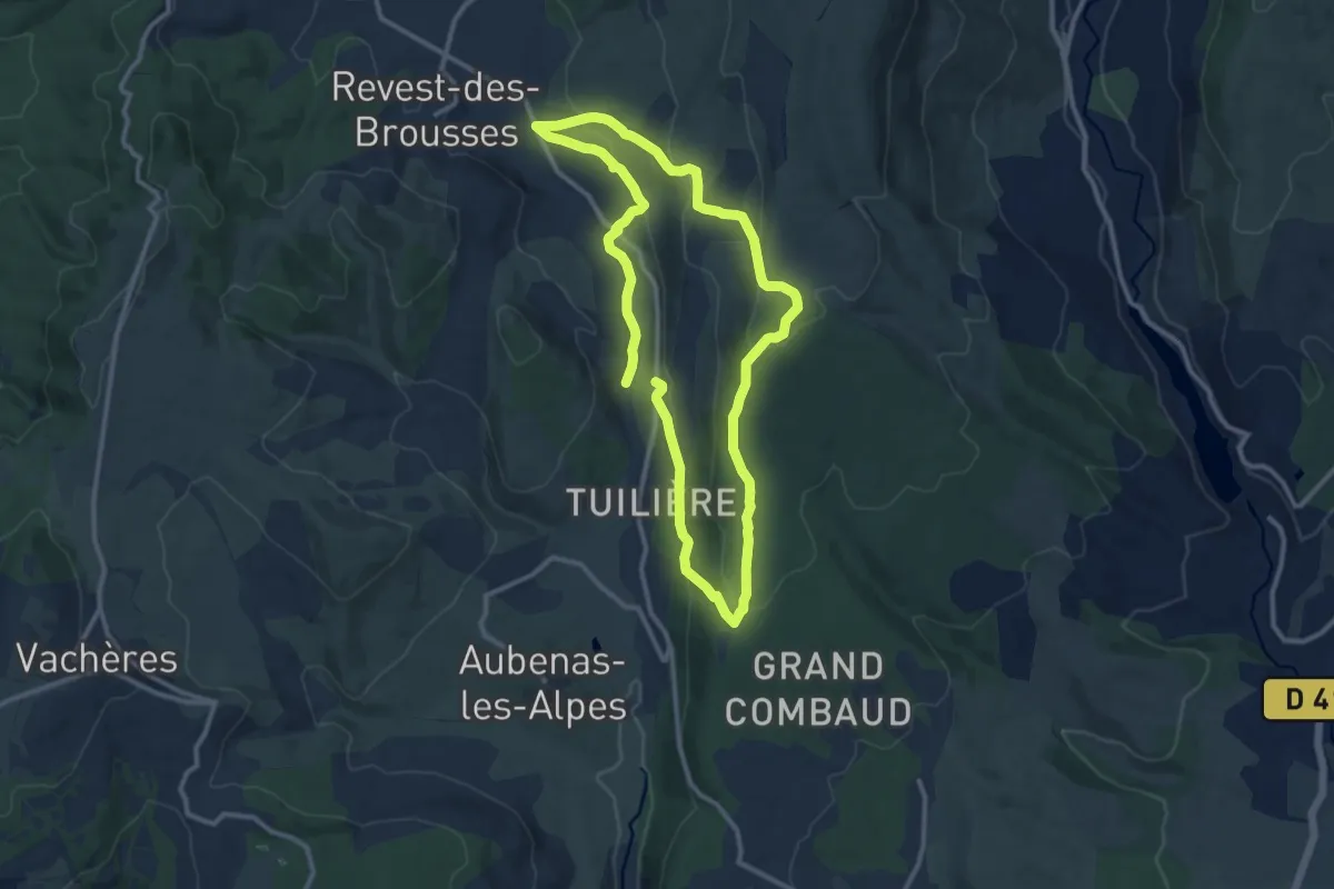
Medium · Trail
Chemin des Hautes Plaines
10.7 km · ↑ 317 m · 3 h 22 min
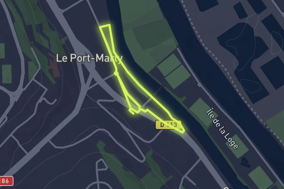
Easy · Trail
Chemin des Impressionnistes au Port-Marly
1.9 km · ↑ 6 m · 28 min
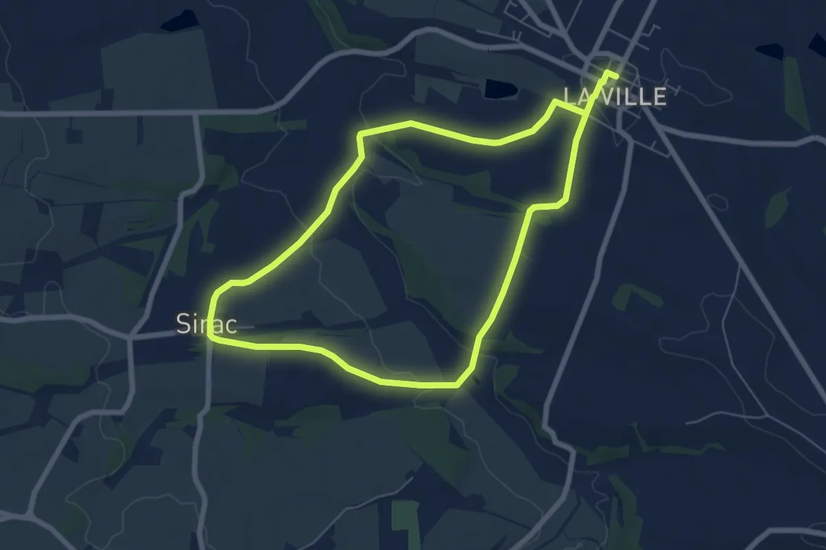
Medium · Trail
Chemin de Sirac boucle
12.0 km · ↑ 212 m · 3 h 18 min
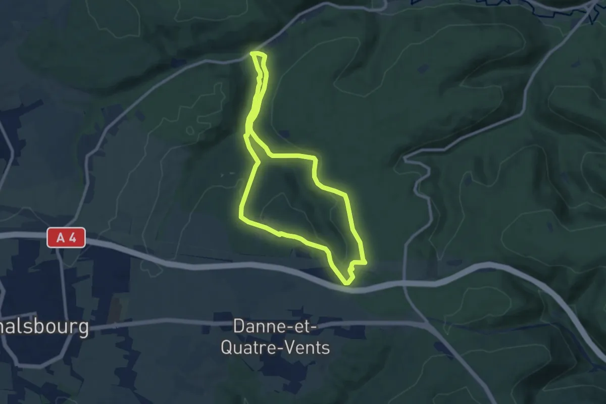
Easy · Trail
Chemin des Italiens
7.2 km · ↑ 204 m · 2 h 14 min
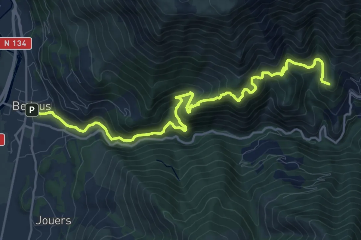
Demanding · Summit
Chemin des Jaupins asp14
14.0 km · ↑ 1022 m · 5 h 31 min
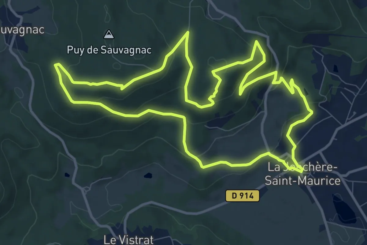
Medium · Summit
Chemin des Kaoliniers
9.9 km · ↑ 391 m · 3 h 19 min
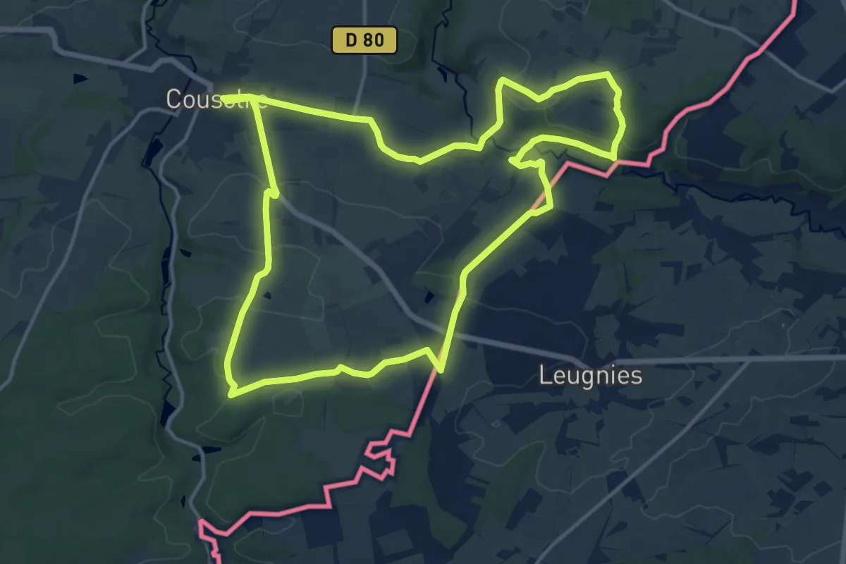
Medium · Trail
Chemin des Larrons
13.1 km · ↑ 176 m · 3 h 39 min
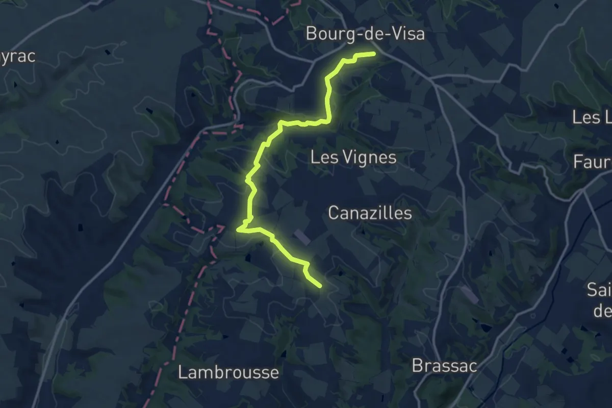
Easy · Trail
Chemin des Lasbourdettes
6.3 km · ↑ 128 m · 1 h 50 min
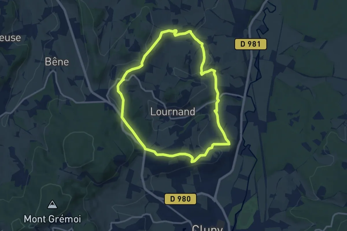
Medium · Trail
Chemin des lavoirs
9.3 km · ↑ 241 m · 2 h 51 min
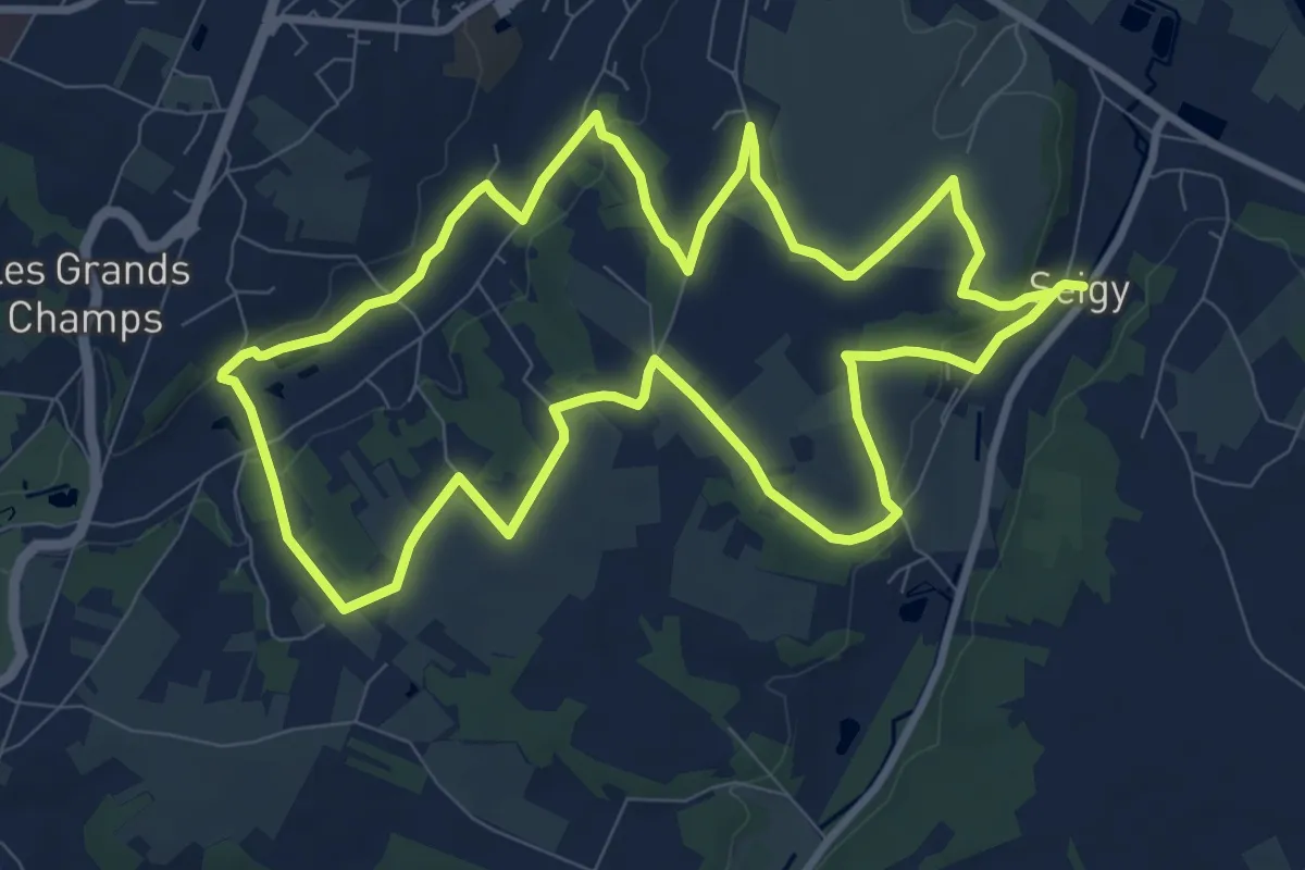
Medium · Trail
Chemin des loges de vignes
9.9 km · ↑ 136 m · 2 h 46 min
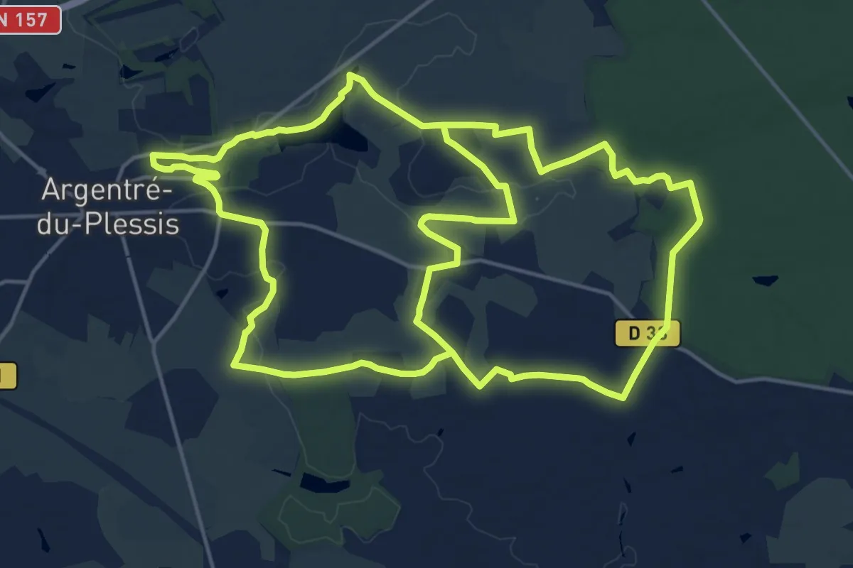
Medium · Trail
Chemin des Loups
17.9 km · ↑ 138 m · 4 h 47 min
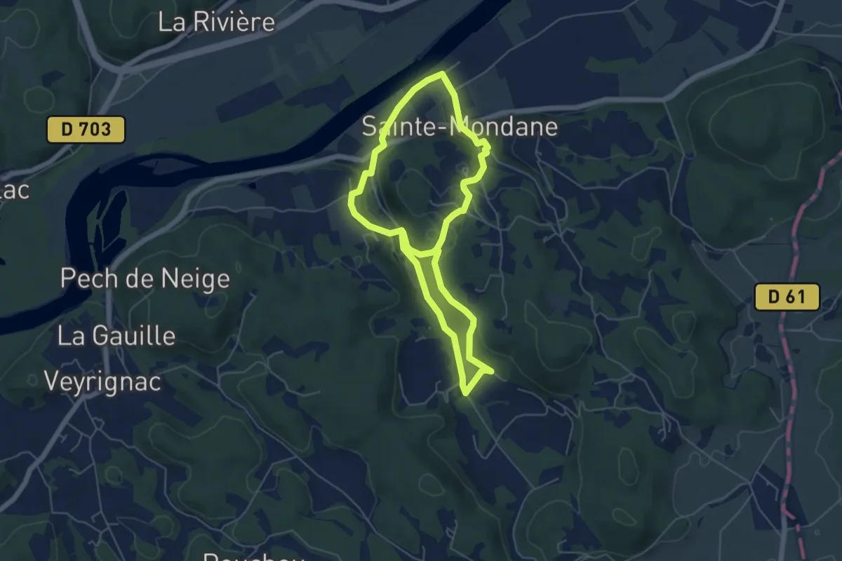
Easy · Trail
Chemin des meniers
5.1 km · ↑ 170 m · 1 h 38 min
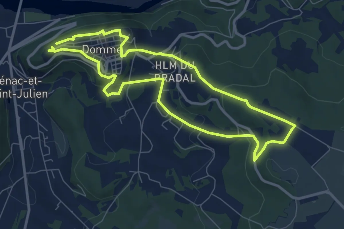
Easy · Trail
Chemin des meulières de Domme
6.3 km · ↑ 241 m · 2 h 6 min
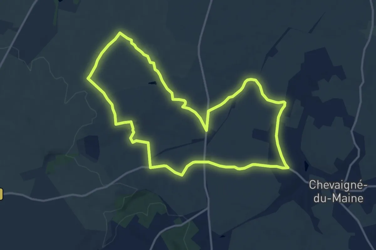
Medium · Trail
Chemin des Meuniers
10.6 km · ↑ 65 m · 2 h 47 min
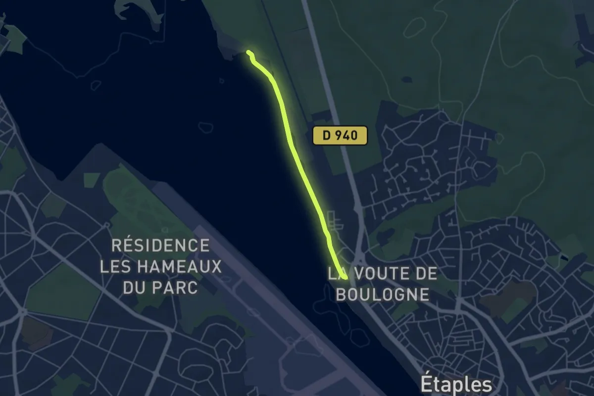
Easy · Trail
Chemin des Molières
3.6 km · ↑ 0 m · 53 min
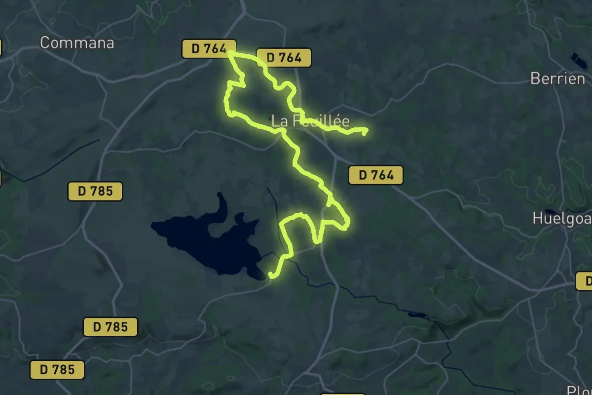
Demanding · Trail
Chemin des Monts d'Arrée
21.6 km · ↑ 284 m · 6 h
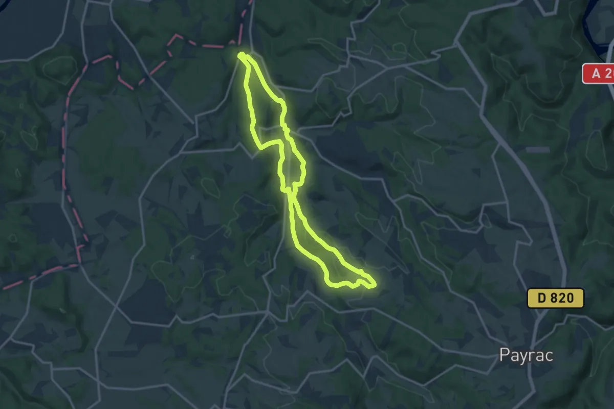
Medium · Trail
Chemin des moulins
12.4 km · ↑ 264 m · 3 h 40 min