Trails in France
15,926 hiking trails, each with its route, climb, walking time and grade.
All trails, page 63 of 332
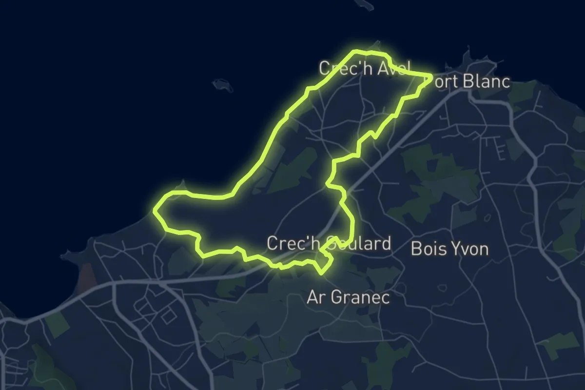
Easy · Trail
Circuit de Port Blanc
6.9 km · ↑ 46 m · 1 h 49 min
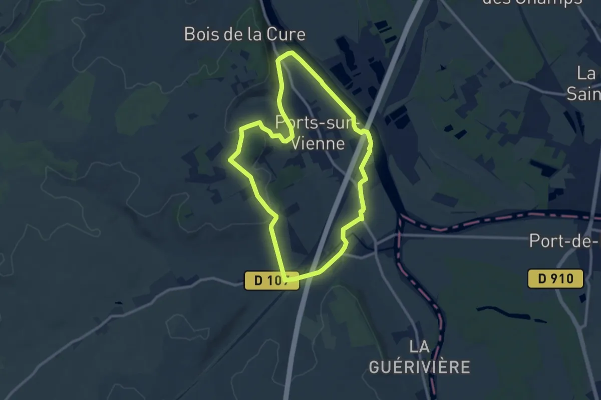
Medium · Trail
Circuit de Ports
8.6 km · ↑ 84 m · 2 h 19 min
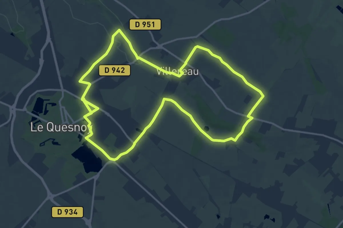
Demanding · Trail
Circuit de Potelle
21.4 km · ↑ 105 m · 5 h 16 min
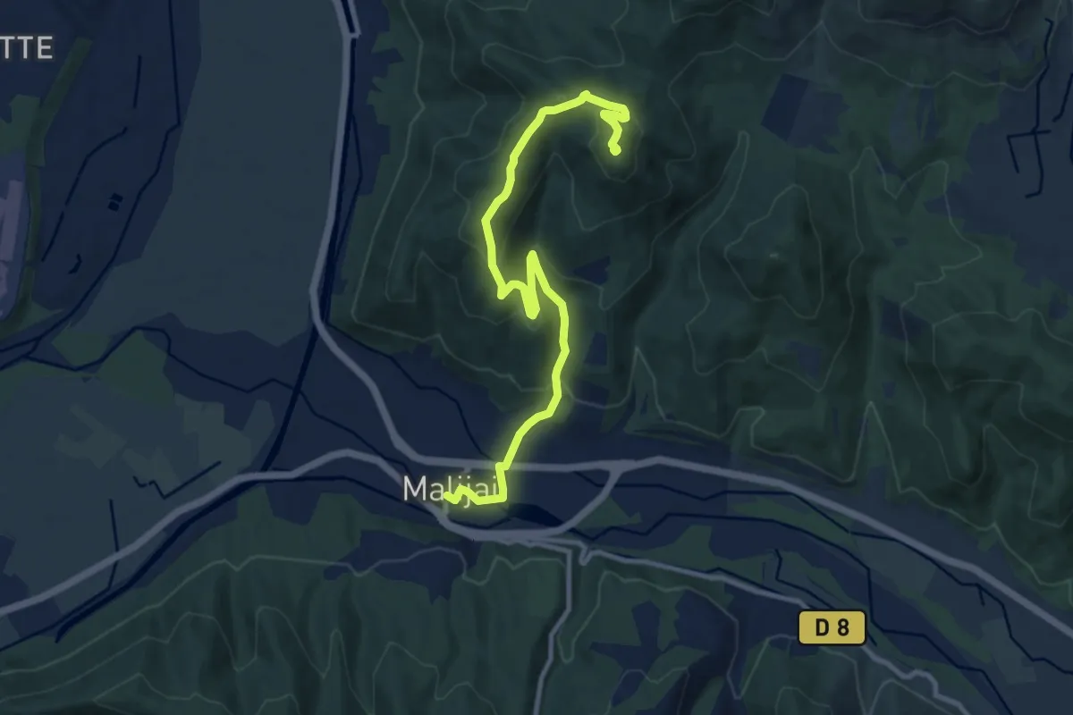
Medium · Summit
Circuit de Pourachère
5.7 km · ↑ 437 m · 2 h 10 min
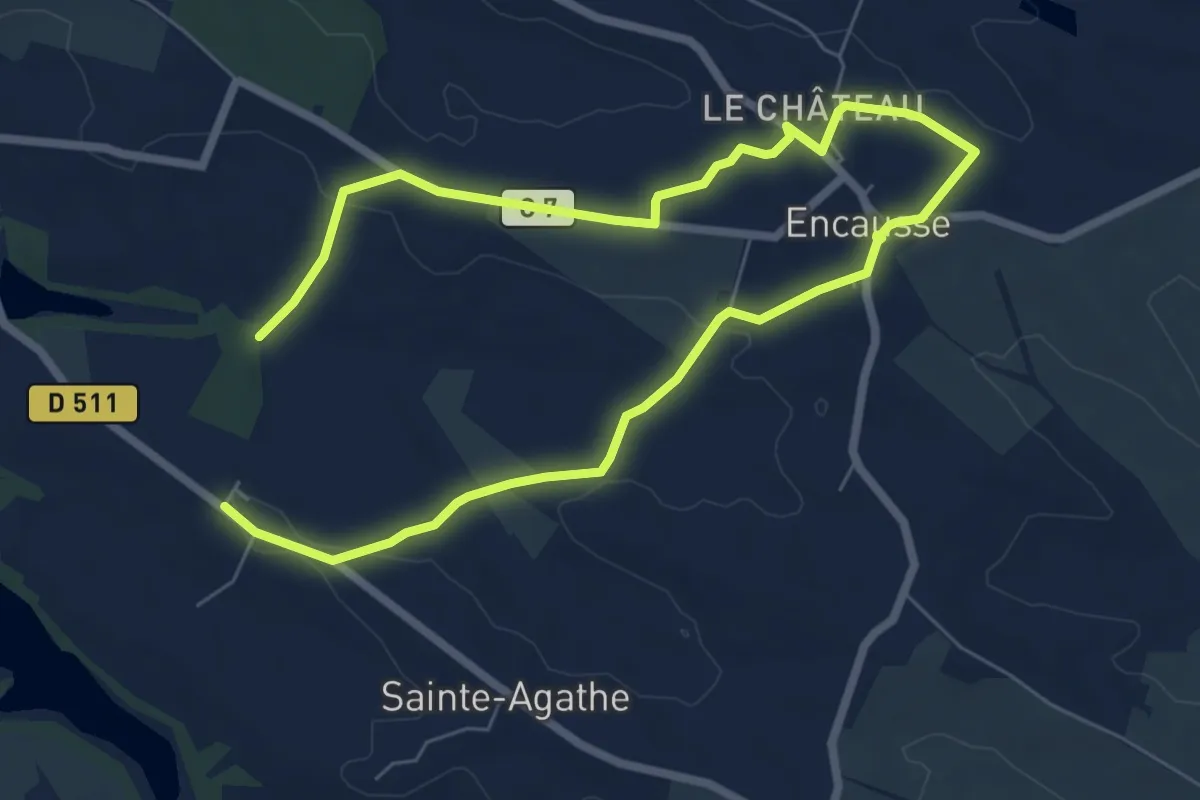
Easy · Trail
Circuit de Pradère
5.7 km · ↑ 79 m · 1 h 37 min
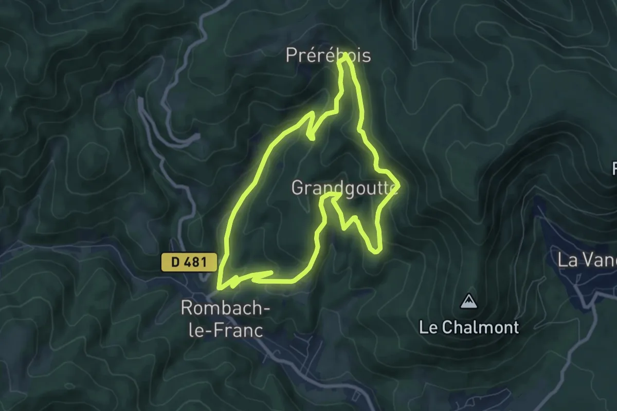
Medium · Trail
Circuit de Prérébois
7.4 km · ↑ 380 m · 2 h 41 min
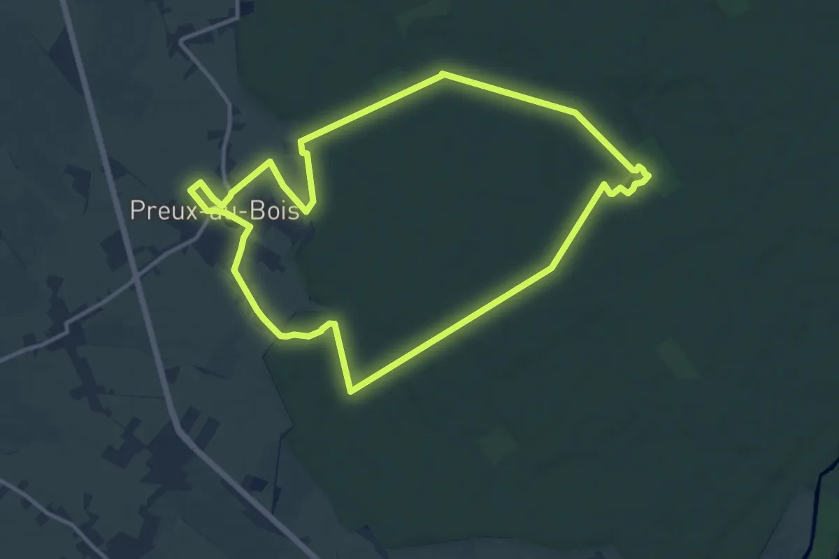
Medium · Trail
Circuit de Preux-au-Bois
10.2 km · ↑ 59 m · 2 h 40 min
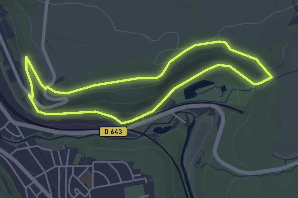
Easy · Trail
Circuit de Profonde Fontaine
3.5 km · ↑ 80 m · 1 h 3 min
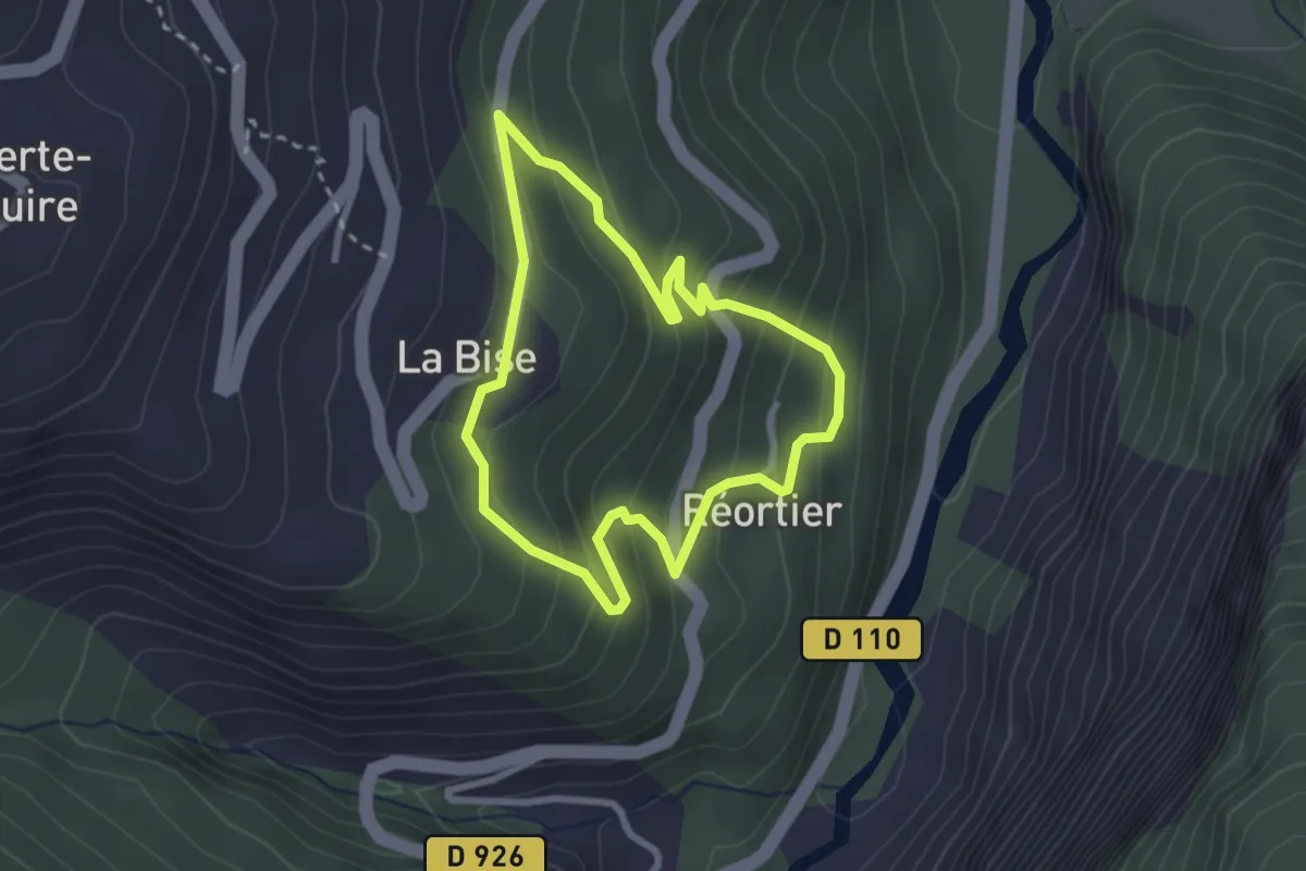
Easy · Trail
Circuit de promenade La Bise - Le Crêt
2.5 km · ↑ 194 m · 1 h 3 min
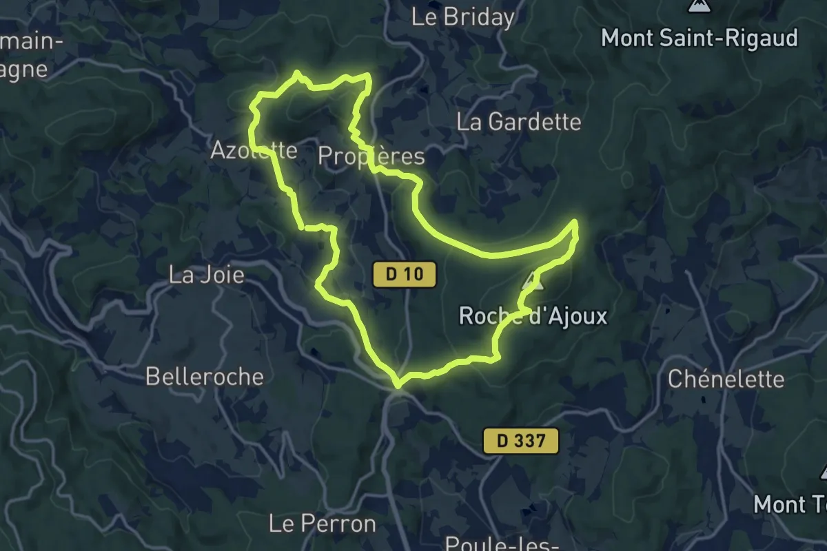
Medium · Summit
Circuit de Propières
14.1 km · ↑ 471 m · 4 h 33 min
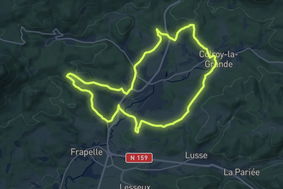
Medium · Trail
Circuit de Provenchères-sur-Fave
13.3 km · ↑ 299 m · 3 h 59 min
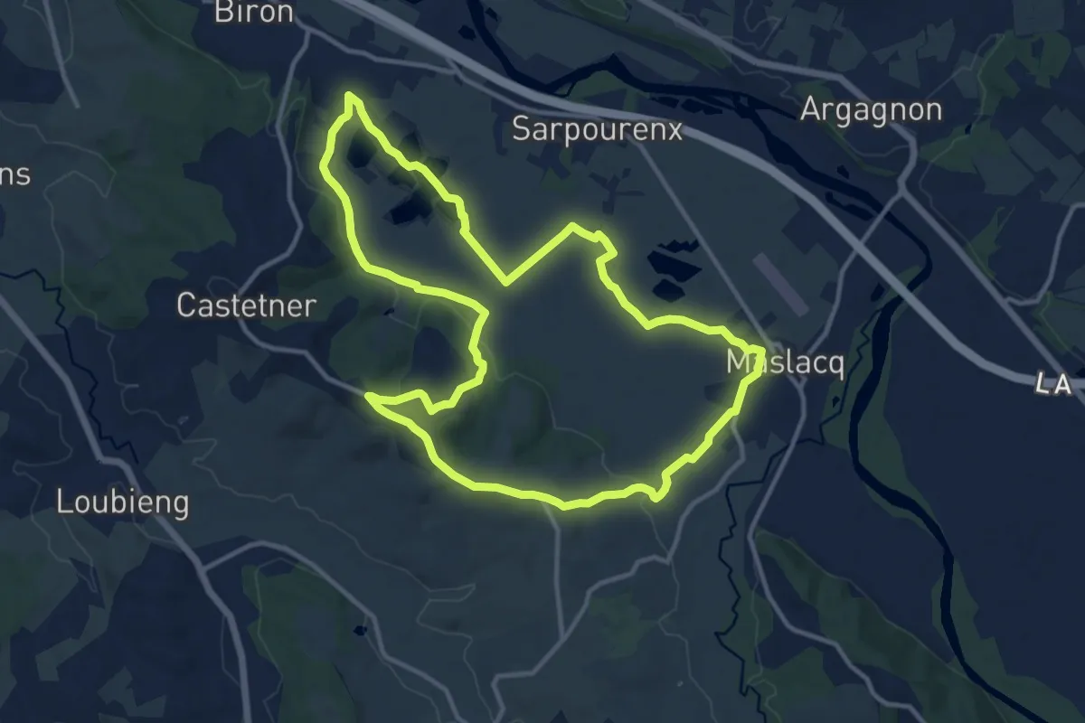
Medium · Trail
Circuit de randonnée Biron - Maslacq - Castetner
13.2 km · ↑ 140 m · 3 h 36 min
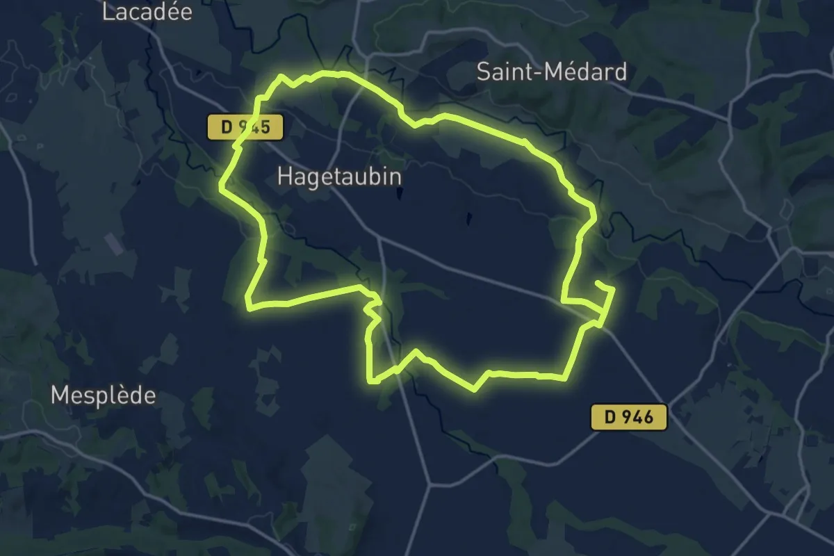
Medium · Trail
Circuit de randonnée de la chapelle d'Aurit (Hagetaubin)
17.2 km · ↑ 65 m · 4 h 27 min
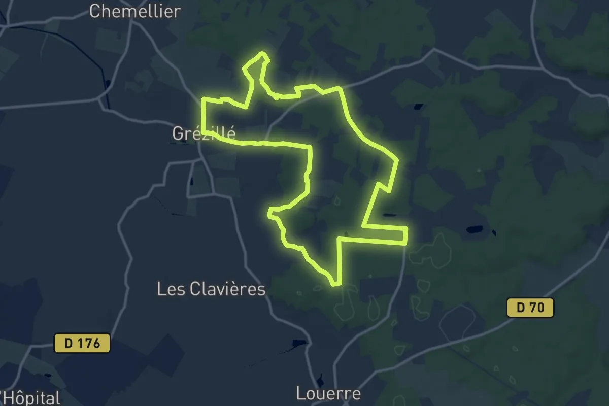
Medium · Trail
Circuit de Randonnée Pédestre PDIPR 'Entre Vigne et Forêt'
12.3 km · ↑ 92 m · 3 h 16 min
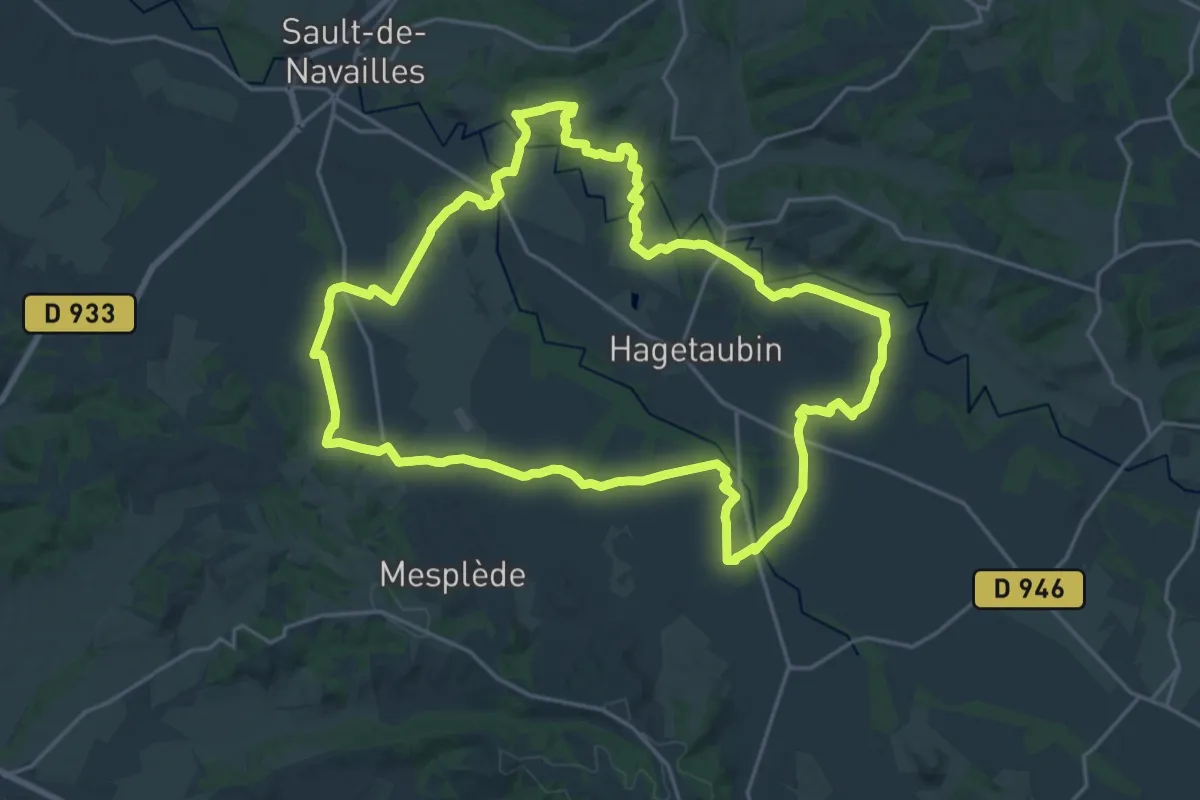
Demanding · Trail
Circuit de randonnée : Vallée du Luy de Béarn (Hagetaubin / Lacadée)
23.9 km · ↑ 167 m · 6 h 20 min
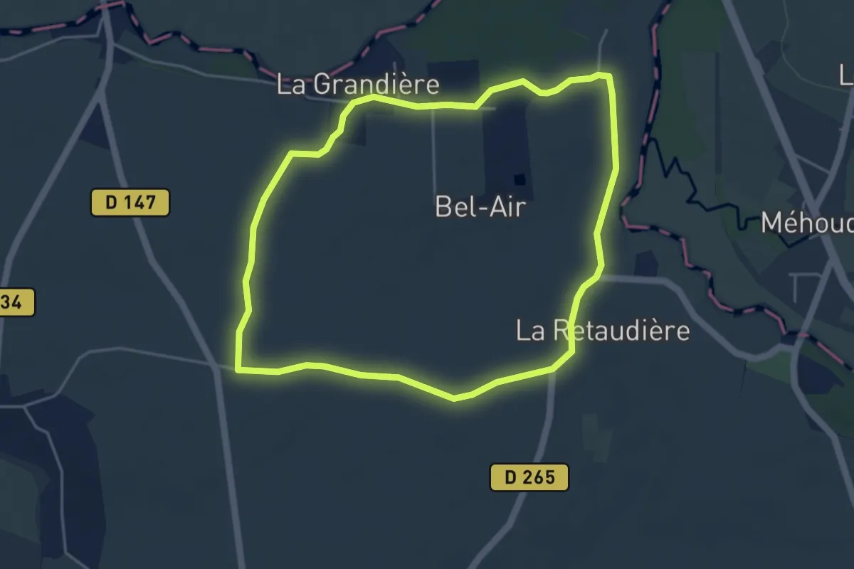
Easy · Trail
Circuit de Réaumur
4.2 km · ↑ 22 m · 1 h 5 min
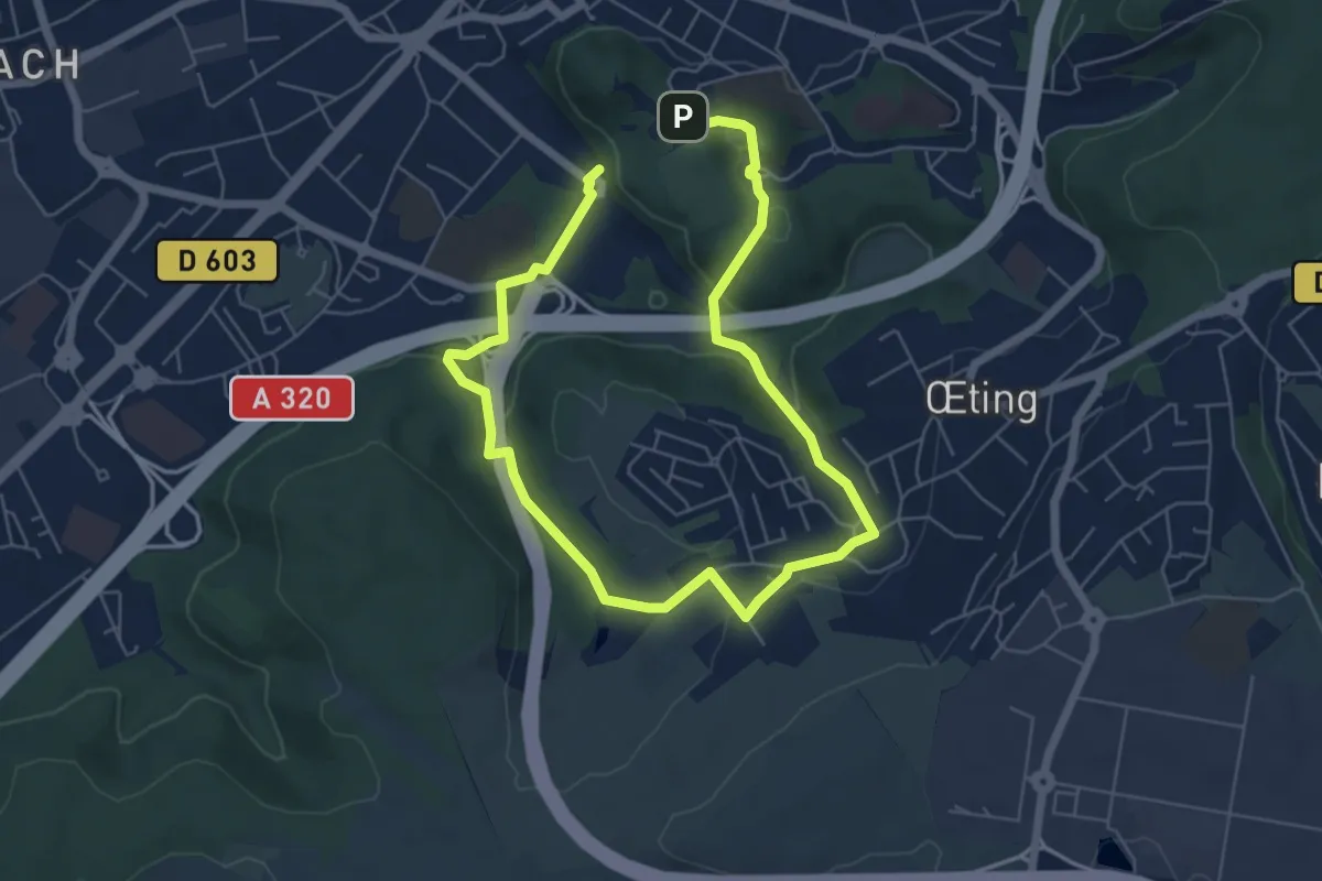
Medium · Trail
Circuit de Remsing
9.0 km · ↑ 230 m · 2 h 38 min
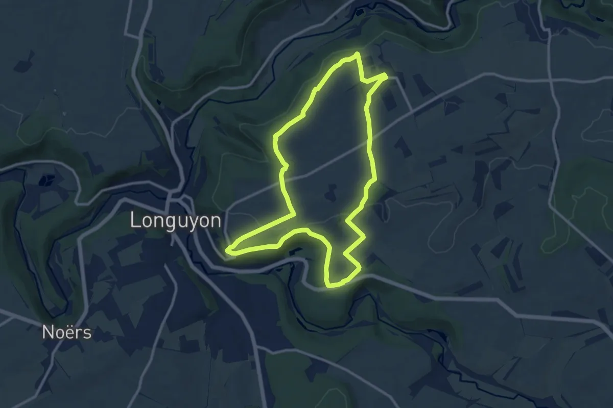
Medium · Trail
Circuit de Revémont
9.4 km · ↑ 114 m · 2 h 36 min
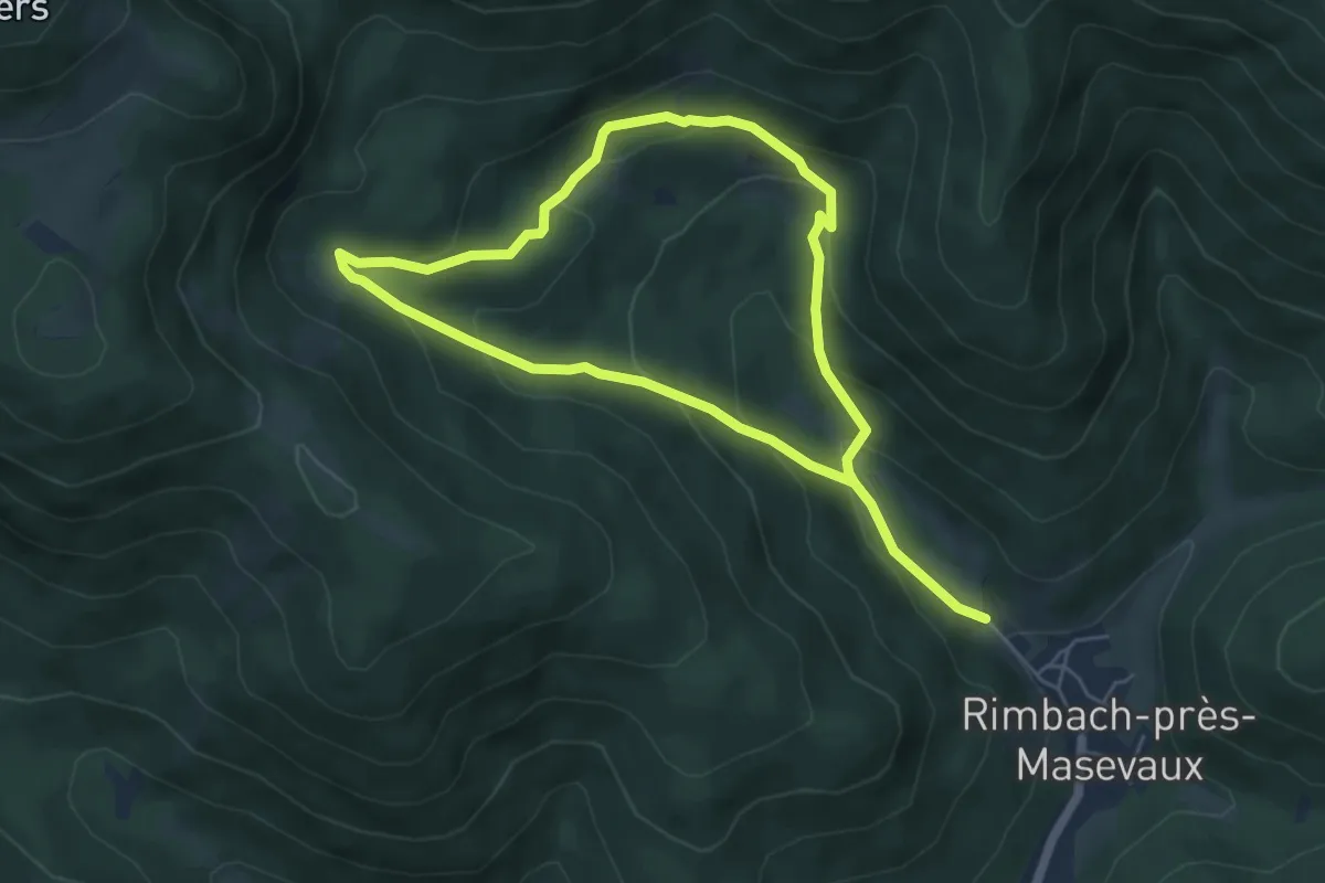
Medium · Trail
Circuit de Rimbach-près-Masevaux
4.5 km · ↑ 255 m · 1 h 41 min
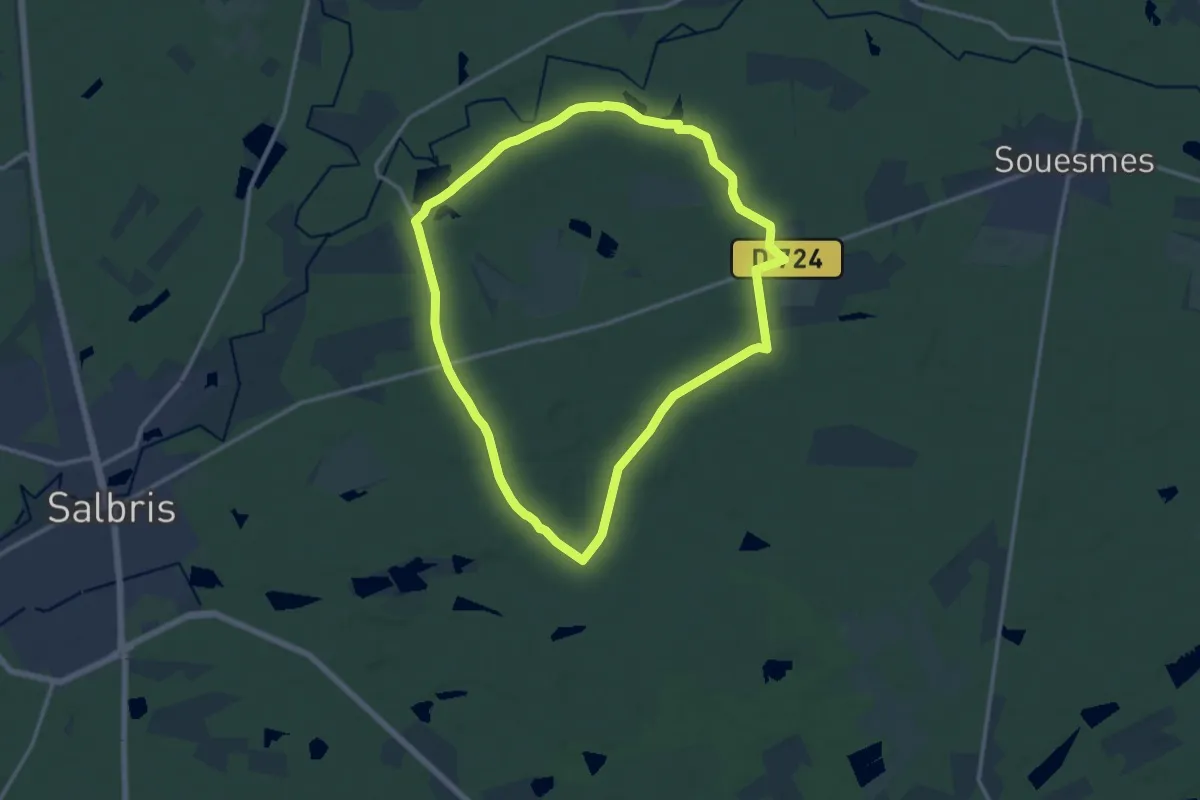
Medium · Trail
Circuit de Rivaulde
13.0 km · ↑ 61 m · 3 h 22 min
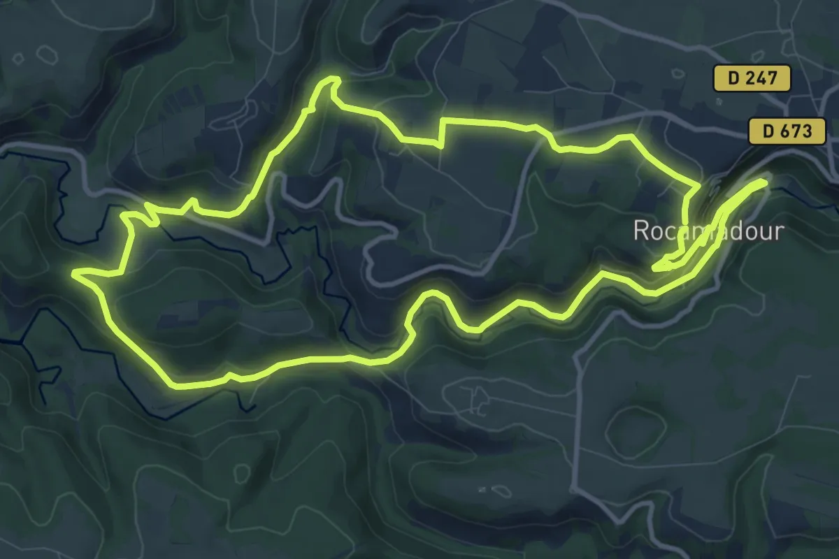
Medium · Trail
Circuit de Rocamadour et des deux vallées
12.2 km · ↑ 332 m · 3 h 47 min
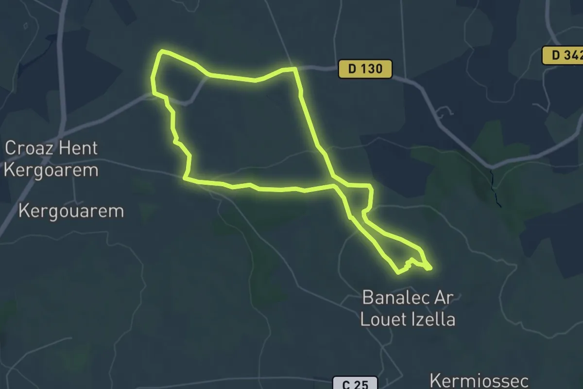
Easy · Summit
Circuit de Roch an Daol
5.8 km · ↑ 109 m · 1 h 41 min
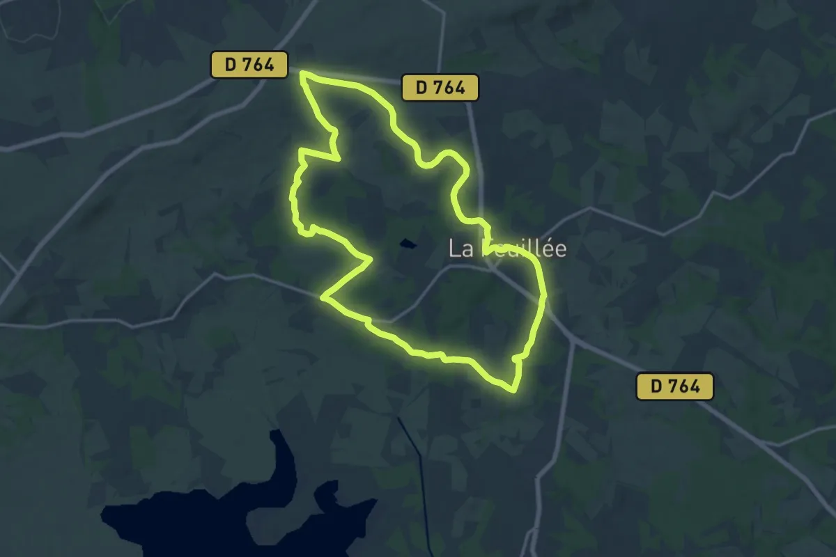
Medium · Trail
Circuit de Roc'h an Teuz
14.1 km · ↑ 175 m · 3 h 53 min
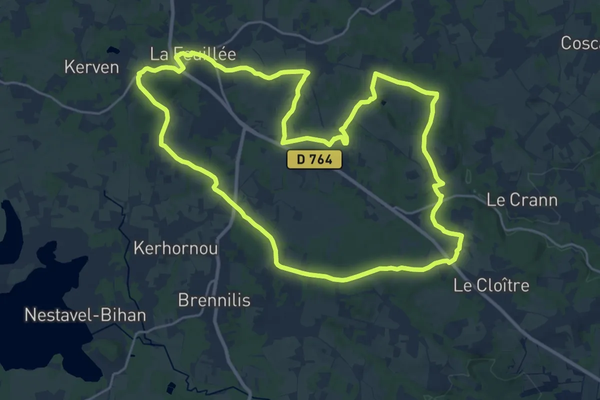
Demanding · Trail
Circuit de Roc'h ar Bic
18.0 km · ↑ 194 m · 4 h 55 min
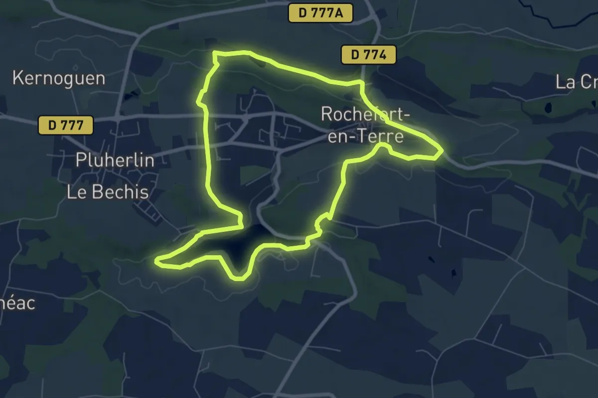
Easy · Trail
Circuit de Rochefort
7.4 km · ↑ 77 m · 2 h 1 min
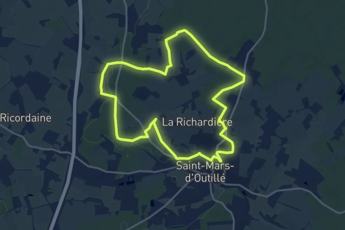
Medium · Trail
Circuit de Rochefort
9.3 km · ↑ 107 m · 2 h 33 min
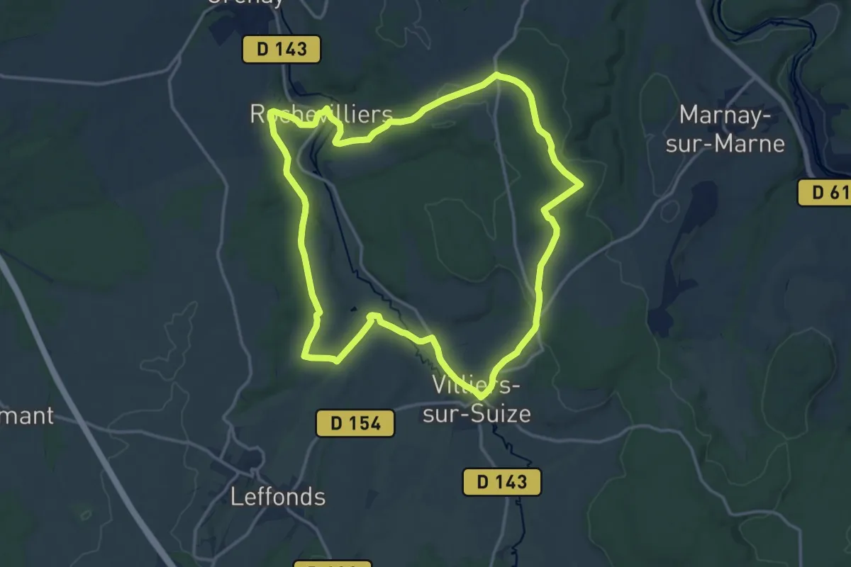
Medium · Trail
Circuit de Rochevilliers
14.3 km · ↑ 178 m · 3 h 57 min
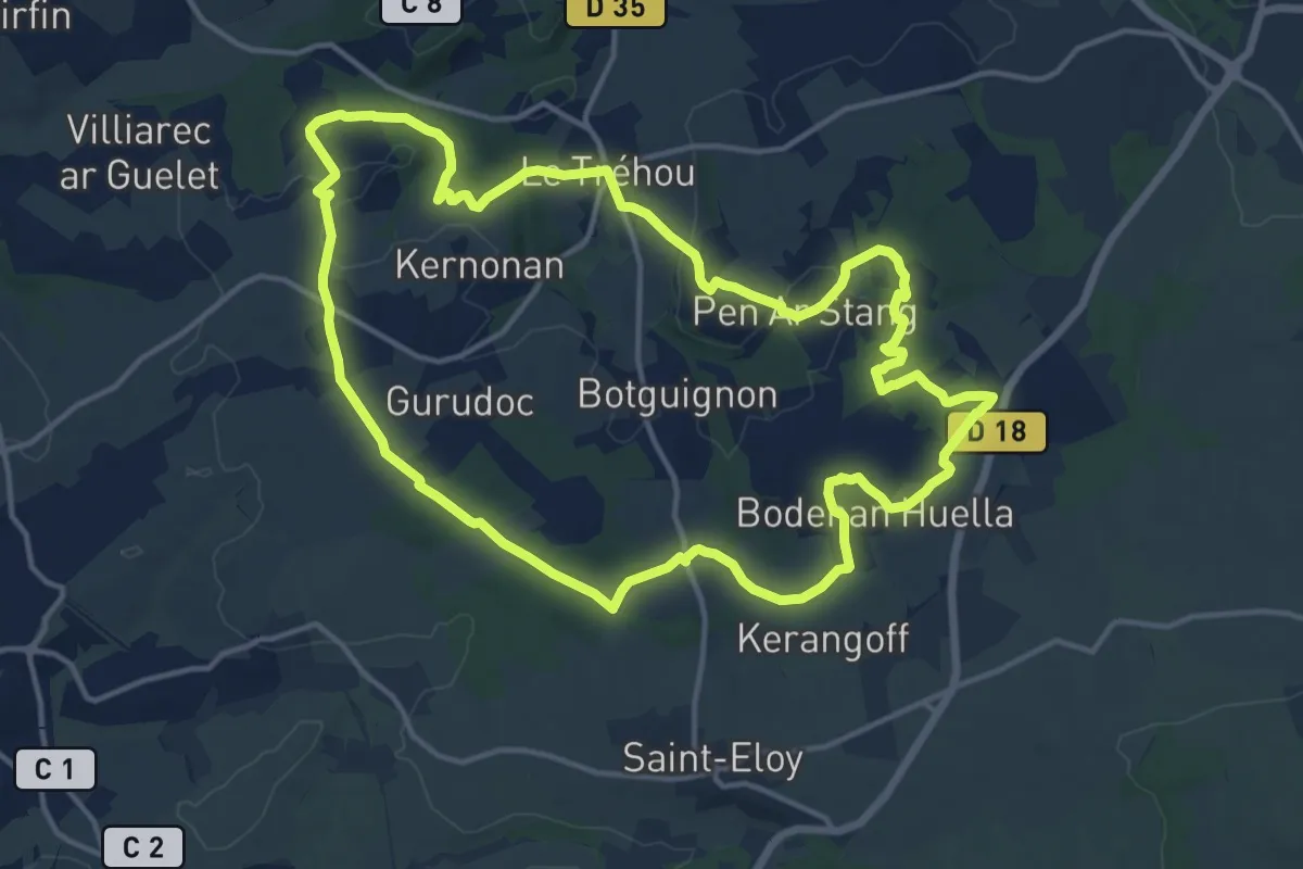
Medium · Trail
Circuit de Roc'h Gad
14.7 km · ↑ 216 m · 4 h 8 min
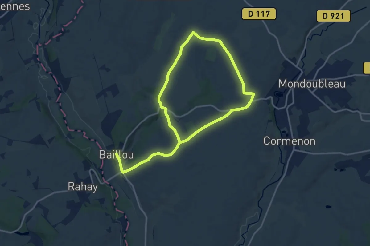
Medium · Trail
Circuit de Roclane
17.6 km · ↑ 142 m · 4 h 28 min
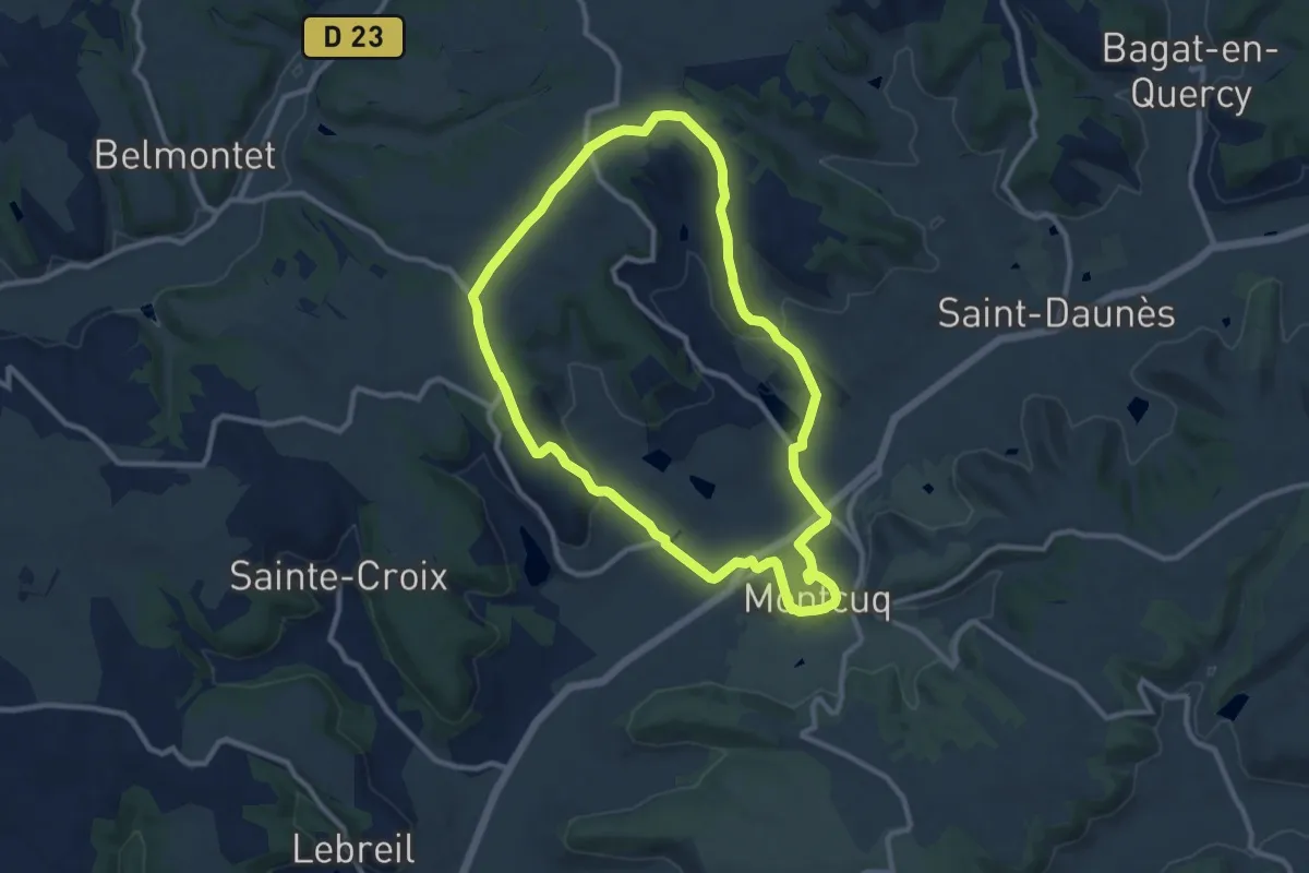
Medium · Trail
Circuit de Roland
10.3 km · ↑ 186 m · 2 h 58 min
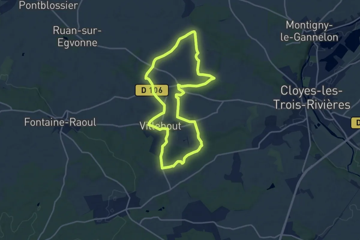
Medium · Trail
Circuit de Romainville
12.1 km · ↑ 112 m · 3 h 17 min
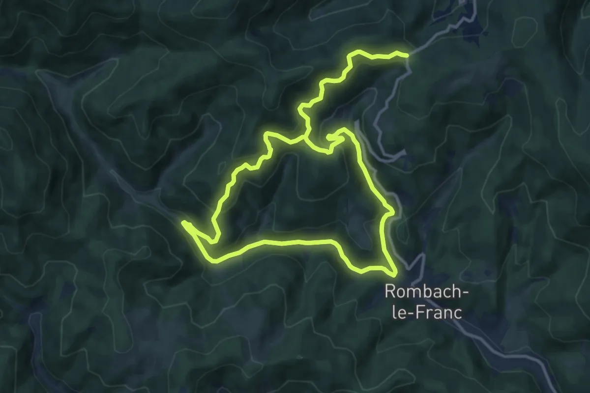
Medium · Trail
Circuit de Rombach-le-Franc
9.1 km · ↑ 518 m · 3 h 22 min
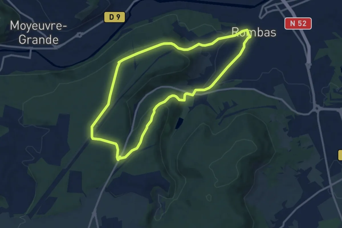
Easy · Trail
Circuit de Rombas
7.8 km · ↑ 183 m · 2 h 20 min
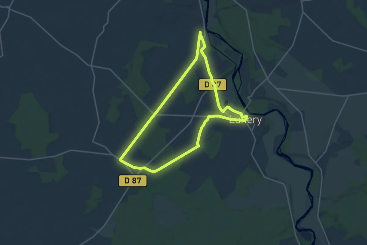
Medium · Trail
Circuit de Rosières
13.2 km · ↑ 70 m · 3 h 28 min
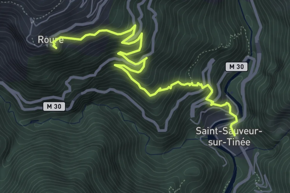
Medium · Trail
Circuit de Roure
7.3 km · ↑ 663 m · 3 h 10 min
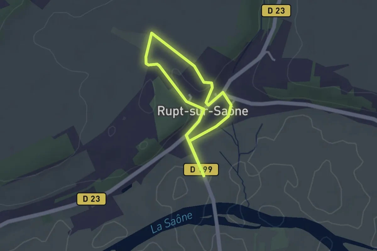
Easy · Trail
Circuit de Rupt-sur-Saône
2.2 km · ↑ 37 m · 37 min
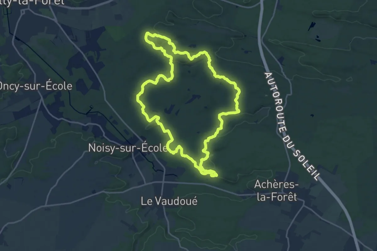
Demanding · Trail
Circuit des 25 bosses
14.7 km · ↑ 332 m · 4 h 23 min
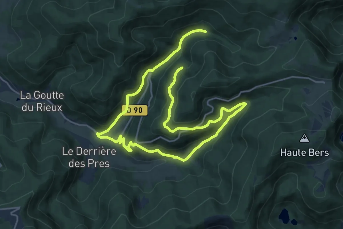
Medium · Trail
Circuit des 2 chapelles
10.2 km · ↑ 458 m · 3 h 35 min
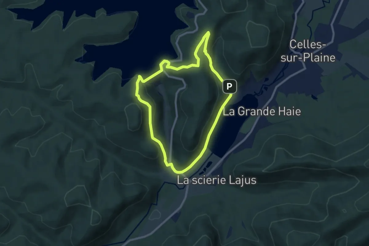
Easy · Trail
Circuit des 2 lacs
6.1 km · ↑ 268 m · 2 h 7 min
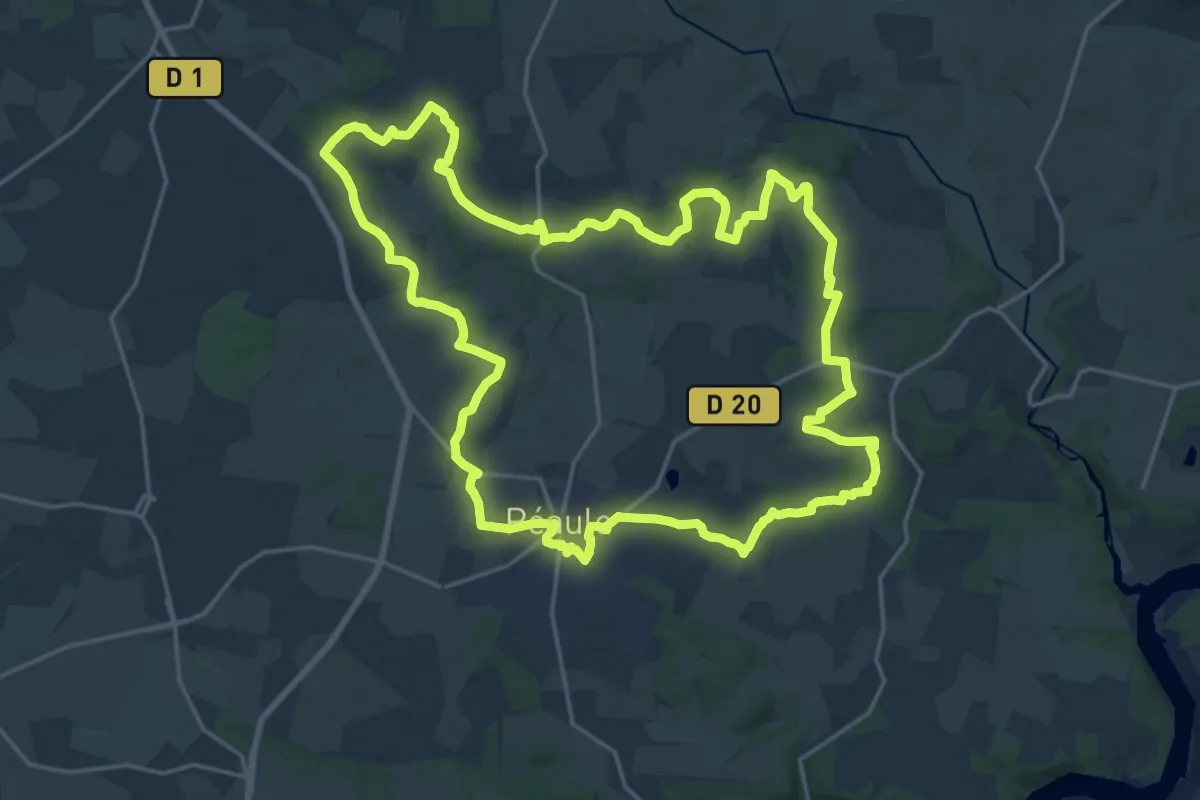
Demanding · Trail
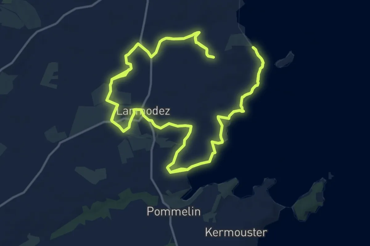
Circuit des 2 Vallées
21.5 km · ↑ 287 m · 6 h
Demanding · Trail
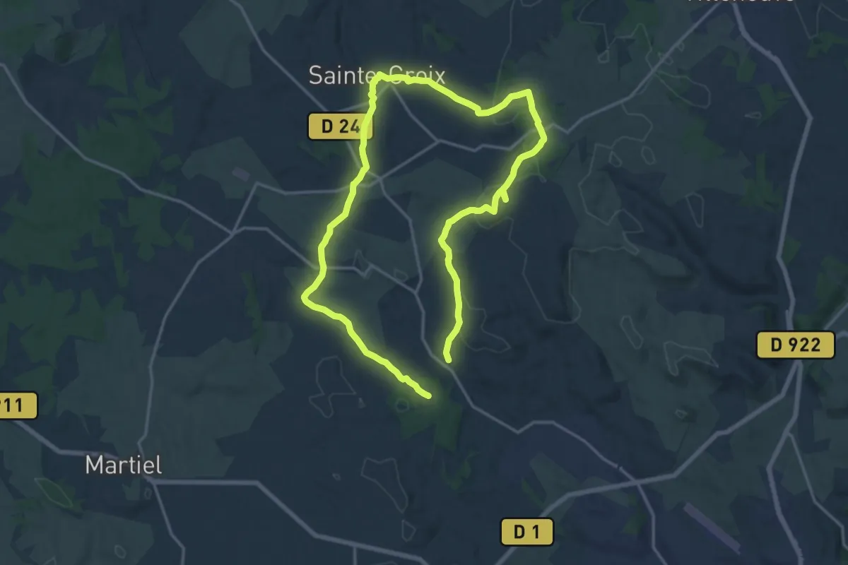
Circuit des 3 chapelles
26.2 km · ↑ 212 m · 6 h 39 min
Medium · Trail
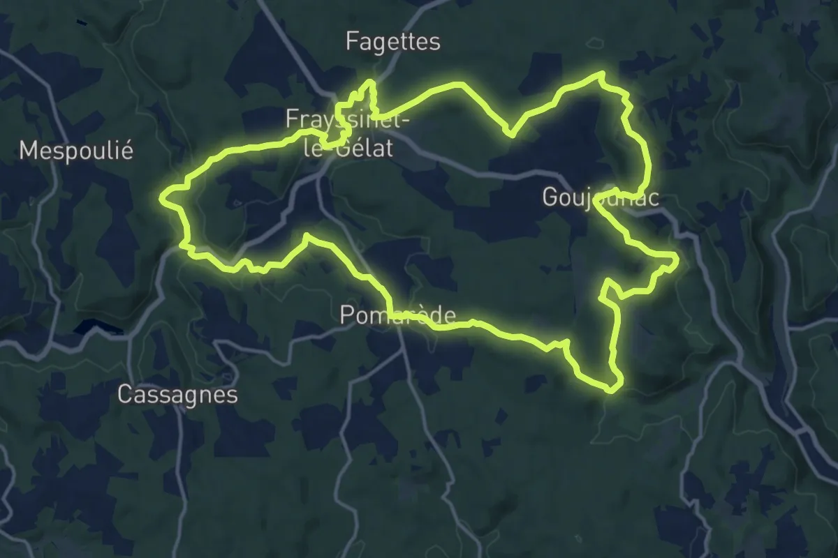
Circuit des 3 clochers
14.0 km · ↑ 233 m · 4 h
Demanding · Trail
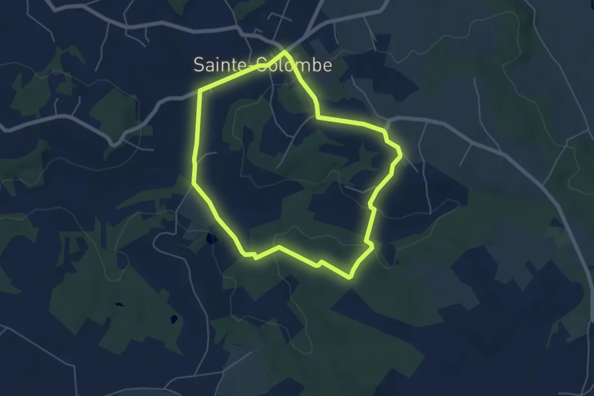
Circuit des 3 communes
18.5 km · ↑ 410 m · 5 h 30 min
Easy · Trail
Circuit des 3 fontaines
5.2 km · ↑ 99 m · 1 h 31 min
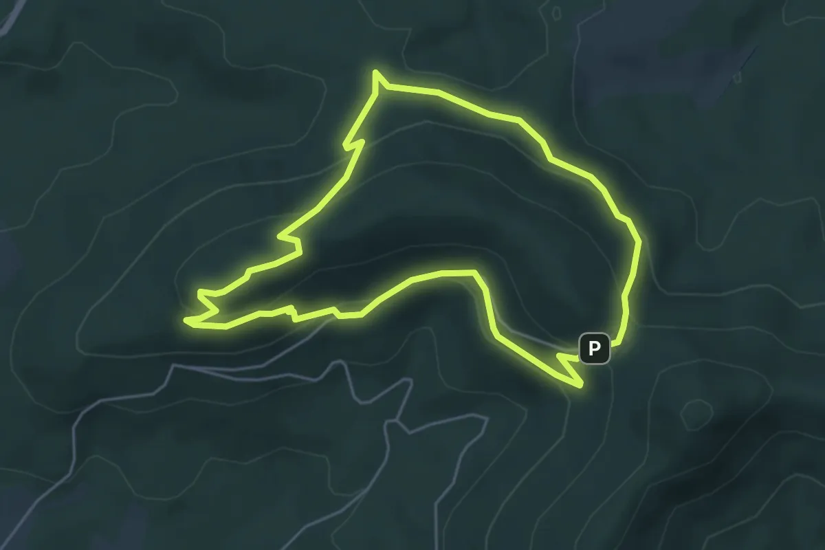
Medium · Trail
Circuit des 3 fontaines
4.6 km · ↑ 200 m · 1 h 35 min
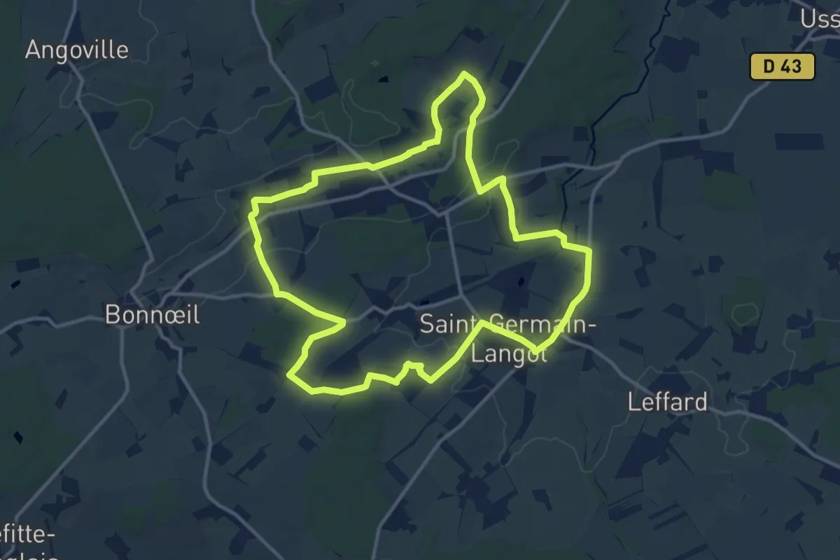
Medium · Trail
Circuit des 3 Moulins
11.8 km · ↑ 156 m · 3 h 17 min
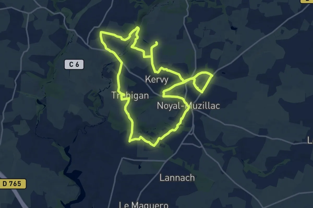
Demanding · Trail
Circuit des 3 rivières
27.8 km · ↑ 353 m · 7 h 20 min
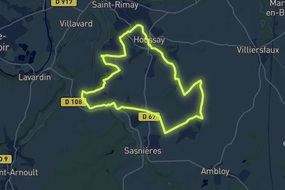
Medium · Trail
Circuit des 3 vallées
15.6 km · ↑ 165 m · 4 h 16 min