Trails in France
15,906 hiking trails, each with its route, climb, walking time and grade.
All trails, page 9 of 332
Medium · Trail
Aux Sources de l'Ourdel
12.6 km · ↑ 211 m · 3 h 37 min
Medium · Trail
Avec Pierre T. Husnot
15.1 km · ↑ 384 m · 4 h 37 min
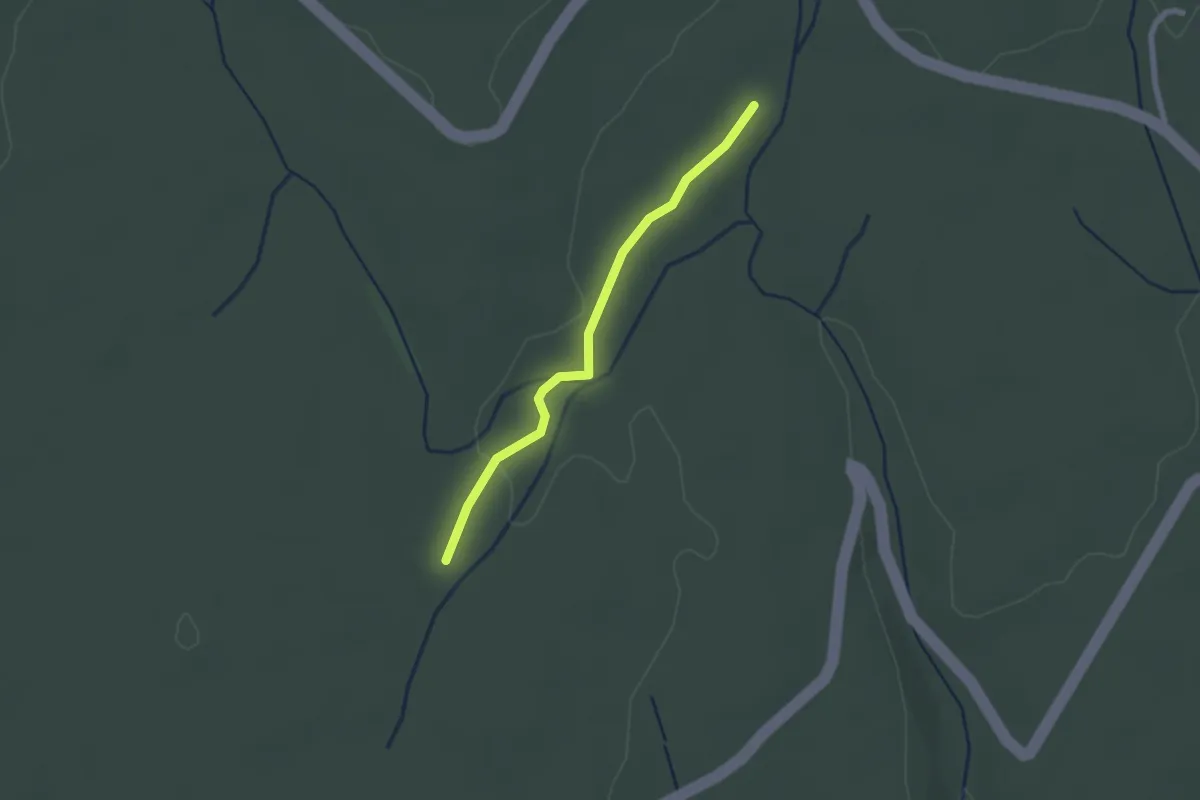
Easy · Trail
Aven de Fontanille - Plaine du Cayre
2.0 km · ↑ 9 m · 30 min
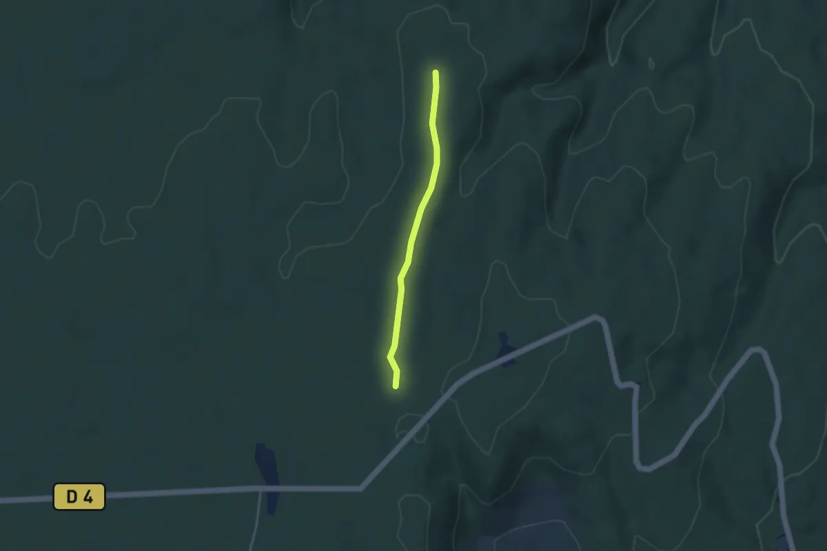
Easy · Trail
Aven des Aubes - Combe Chabaud
3.1 km · ↑ 23 m · 46 min
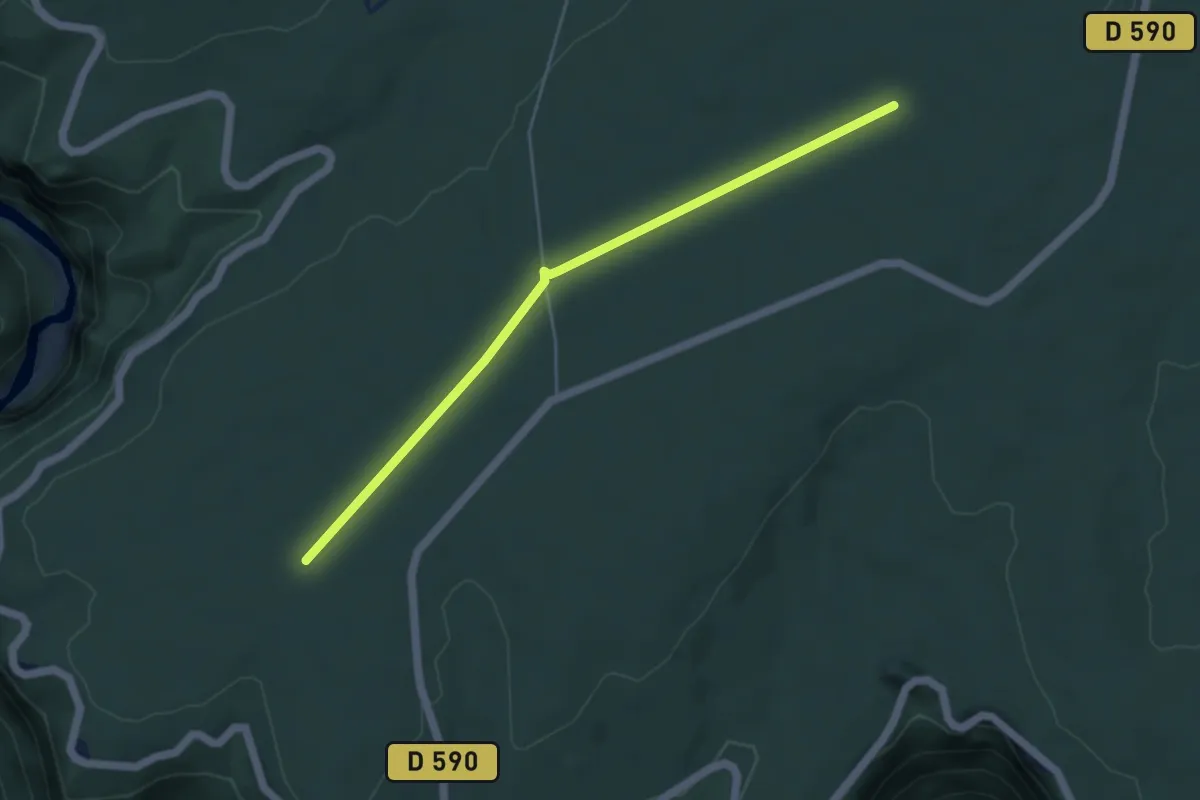
Easy · Trail
Aven du Cadet - Malbosc
4.9 km · ↑ 30 m · 1 h 14 min
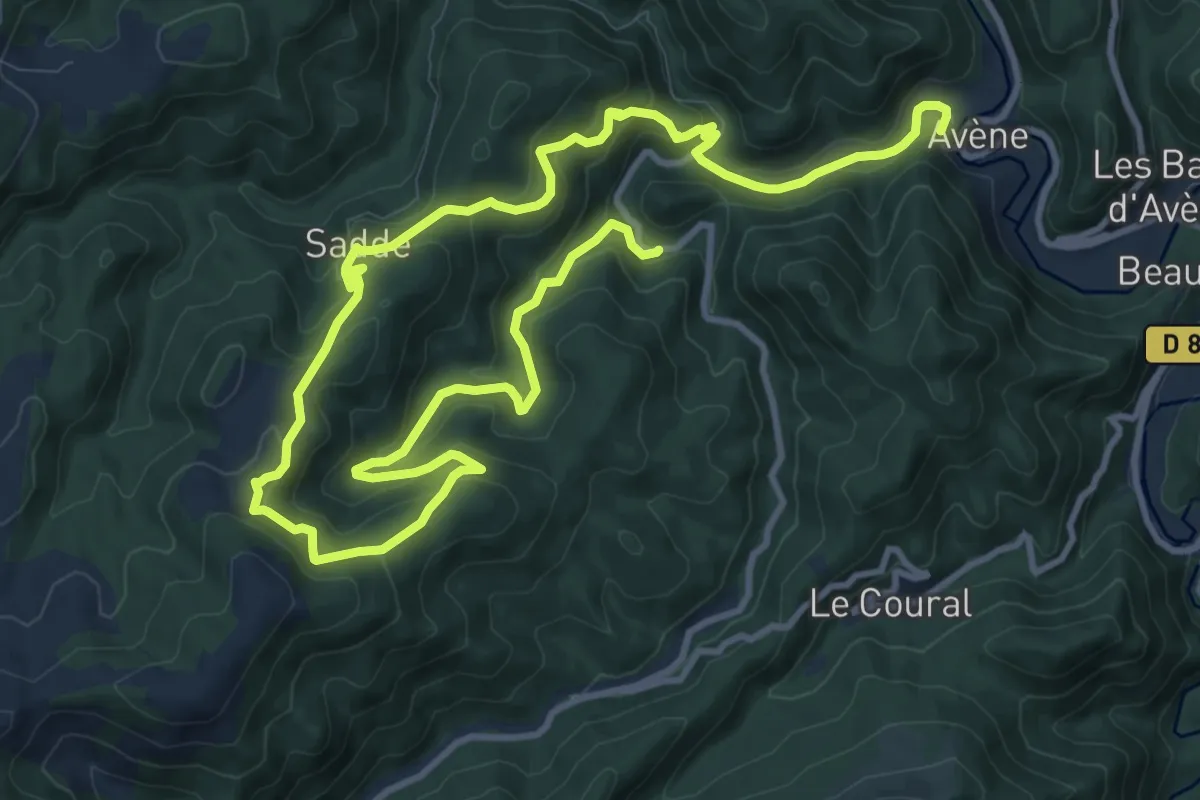
Demanding · Trail
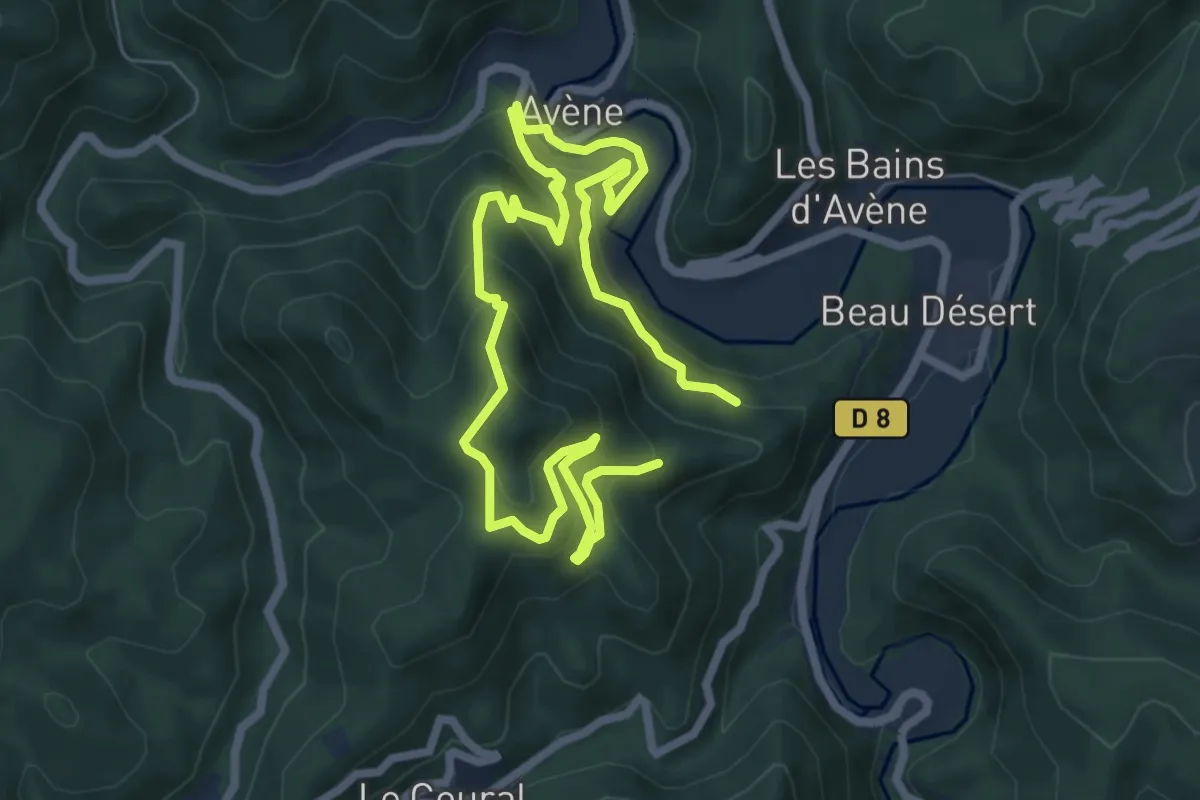
Avène La Plaine de Sadde
18.9 km · ↑ 982 m · 6 h 36 min
Demanding · Trail
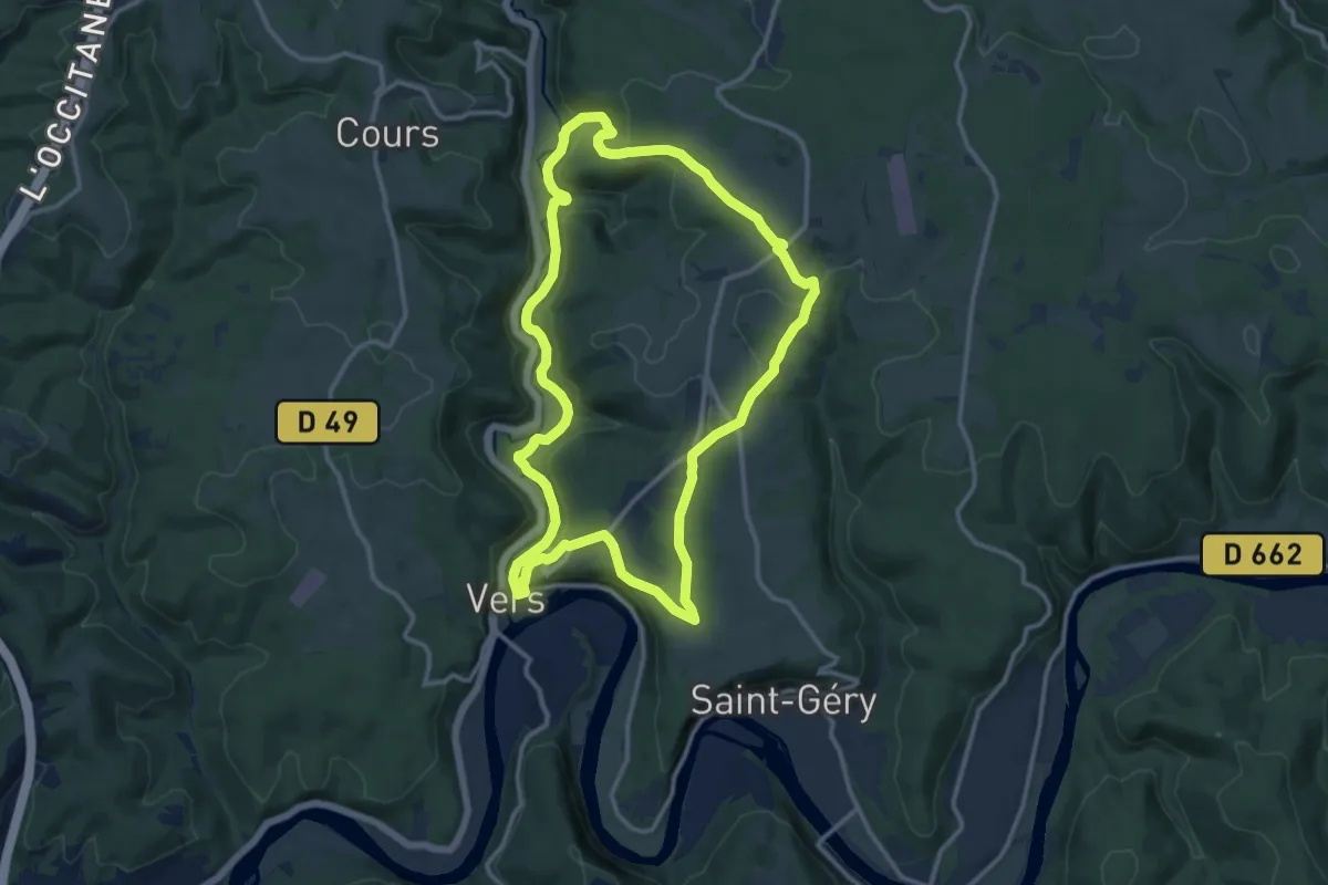
Avène Peyreguille
11.0 km · ↑ 810 m · 4 h 21 min
Medium · Trail
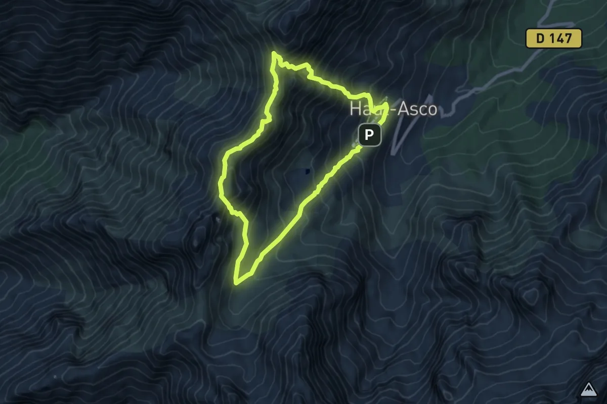
A Vercinge(to)ry
12.8 km · ↑ 297 m · 3 h 50 min
Expert · Summit
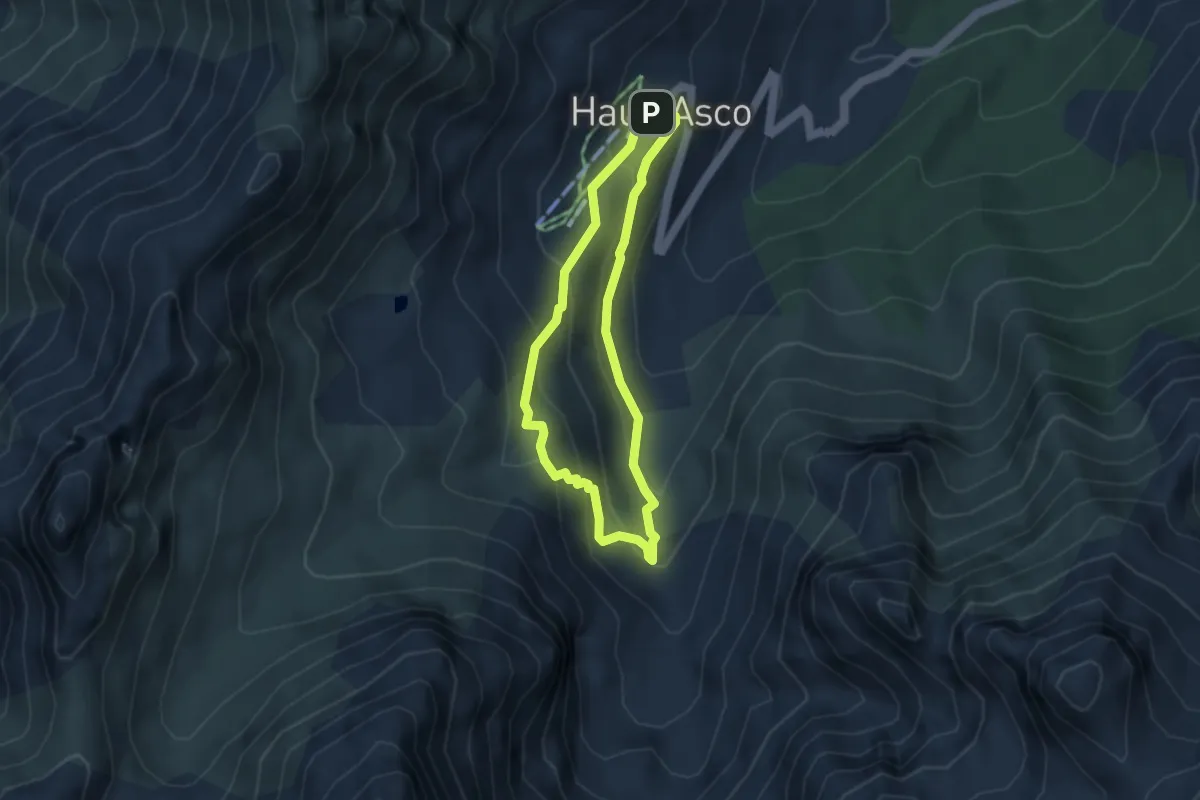
A Vinta di Bocca Stagnu
6.4 km · ↑ 632 m · 2 h 58 min
Medium · Cabin
A Vinta di u Tighjettu
3.4 km · ↑ 224 m · 1 h 21 min
Medium · Trail
Avon-les-Roches - Lavoirs et Collégiales des Roches Tranchelion
13.4 km · ↑ 156 m · 3 h 42 min
Demanding · Trail
Avre et Iton
30.0 km · ↑ 109 m · 7 h 20 min
Medium · Trail
Azay - Chambourg- sur-Indre
12.9 km · ↑ 86 m · 3 h 25 min
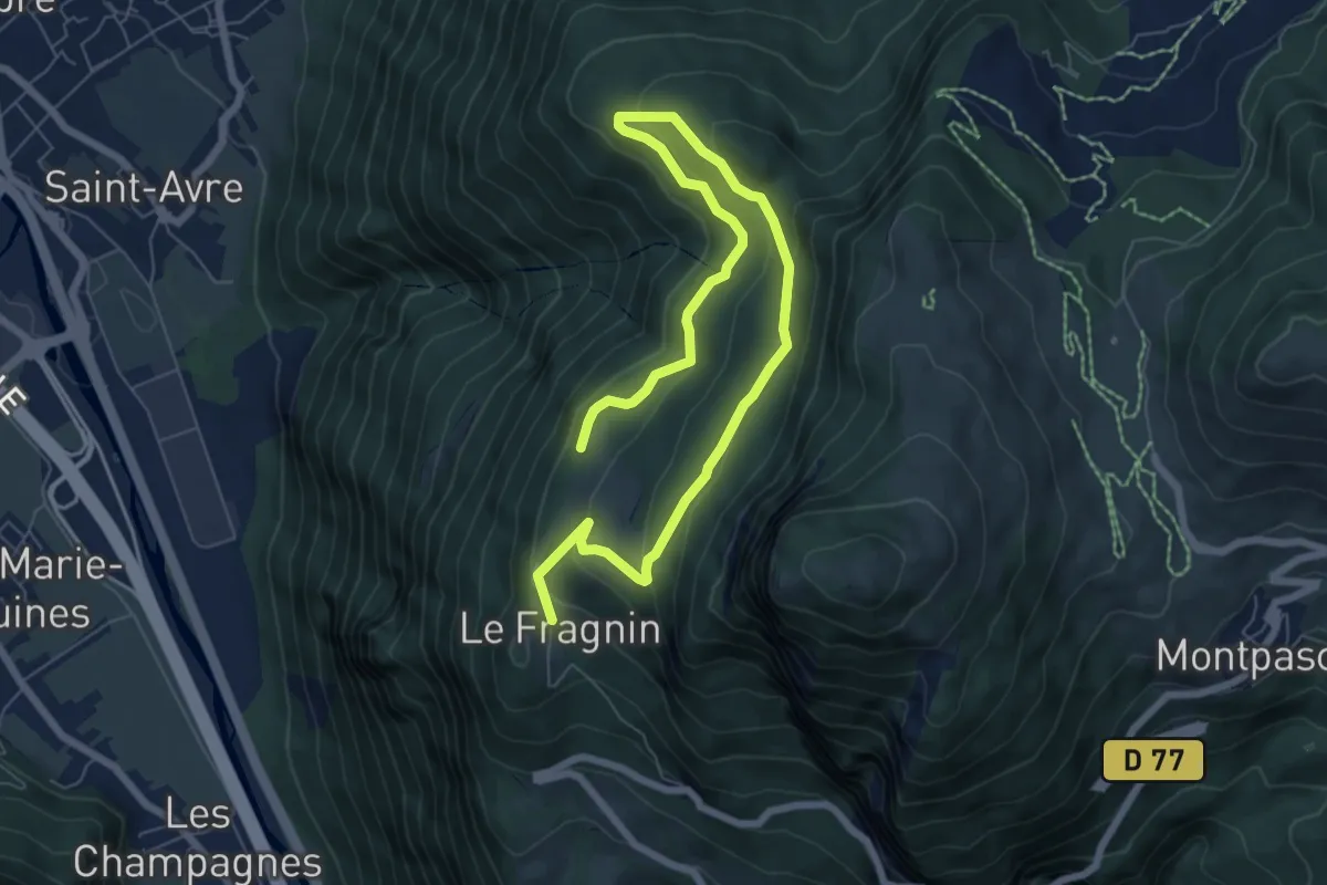
Easy · Trail
B01 - Le Plan de la Lie
4.8 km · ↑ 182 m · 1 h 37 min
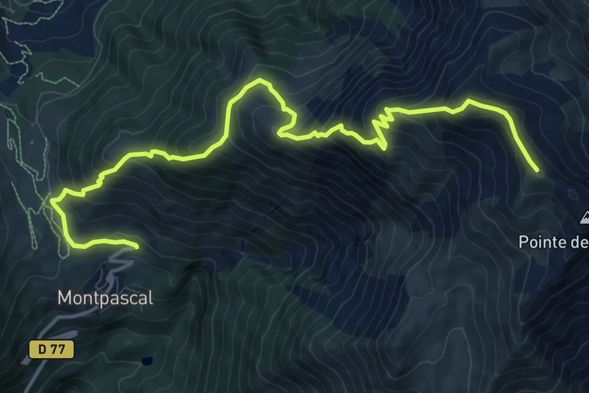
Demanding · Summit
B03 - Le Grand Coin
6.5 km · ↑ 1248 m · 3 h 44 min
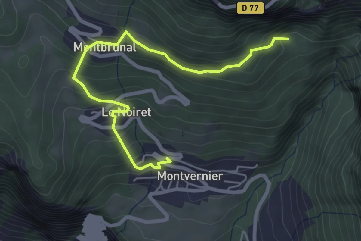
Easy · Trail
B04 - Le tour des villages de Montvernier
2.5 km · ↑ 254 m · 1 h 5 min
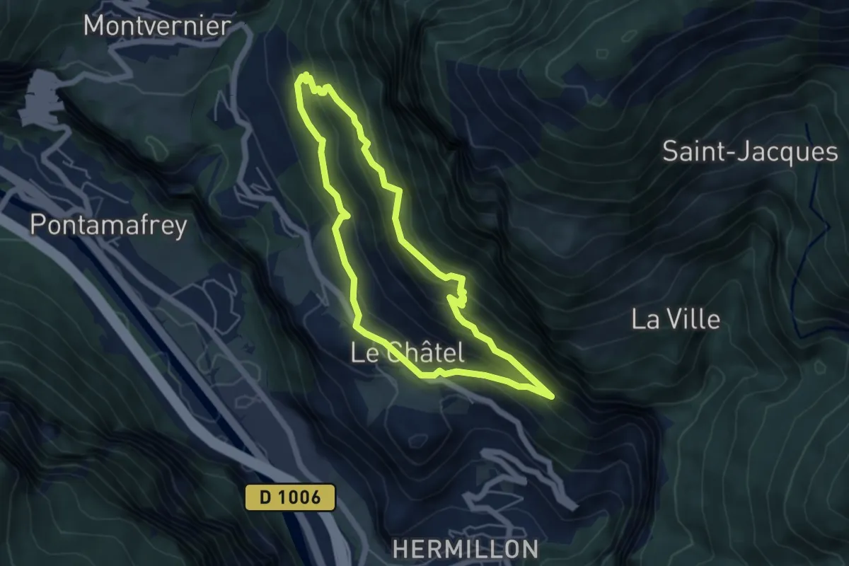
Medium · Trail
B05 - Le Balcon des Plagnes
4.6 km · ↑ 324 m · 1 h 51 min
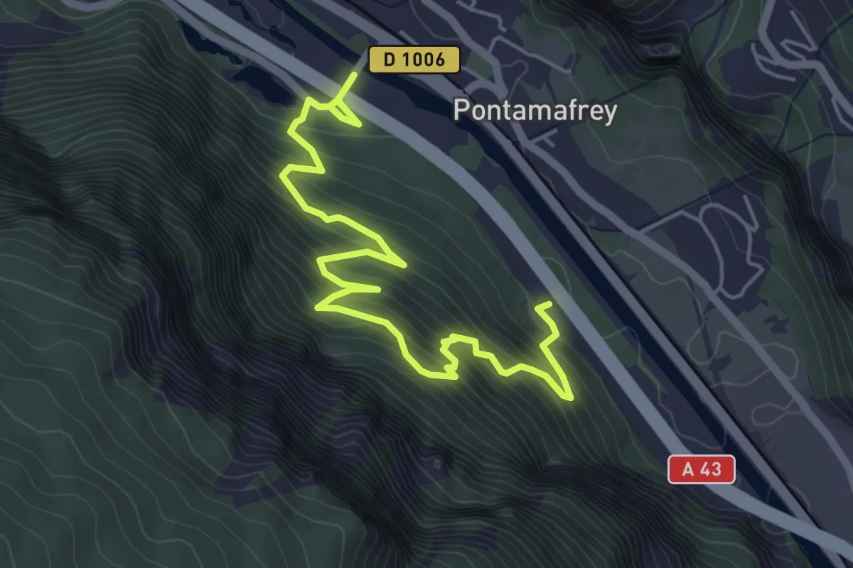
Easy · Trail
B06 - Le Balcon du Rocher aux Chamois
3.2 km · ↑ 294 m · 1 h 26 min
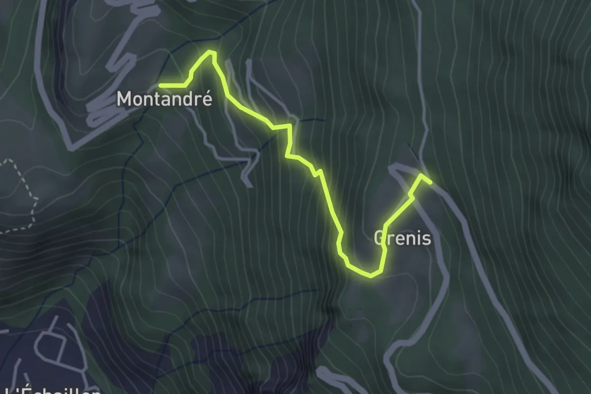
Medium · Trail
B08 - Le tour des hameaux de Montandré, Champessuit et Grenis
1.7 km · ↑ 364 m · 1 h 2 min
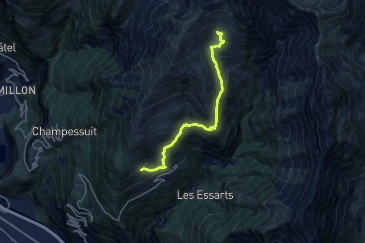
Medium · Trail
B09 - Le tour de Montdenis
4.9 km · ↑ 721 m · 2 h 28 min
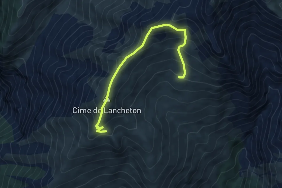
Demanding · Summit
B10 - Lancheton
3.1 km · ↑ 273 m · 1 h 20 min
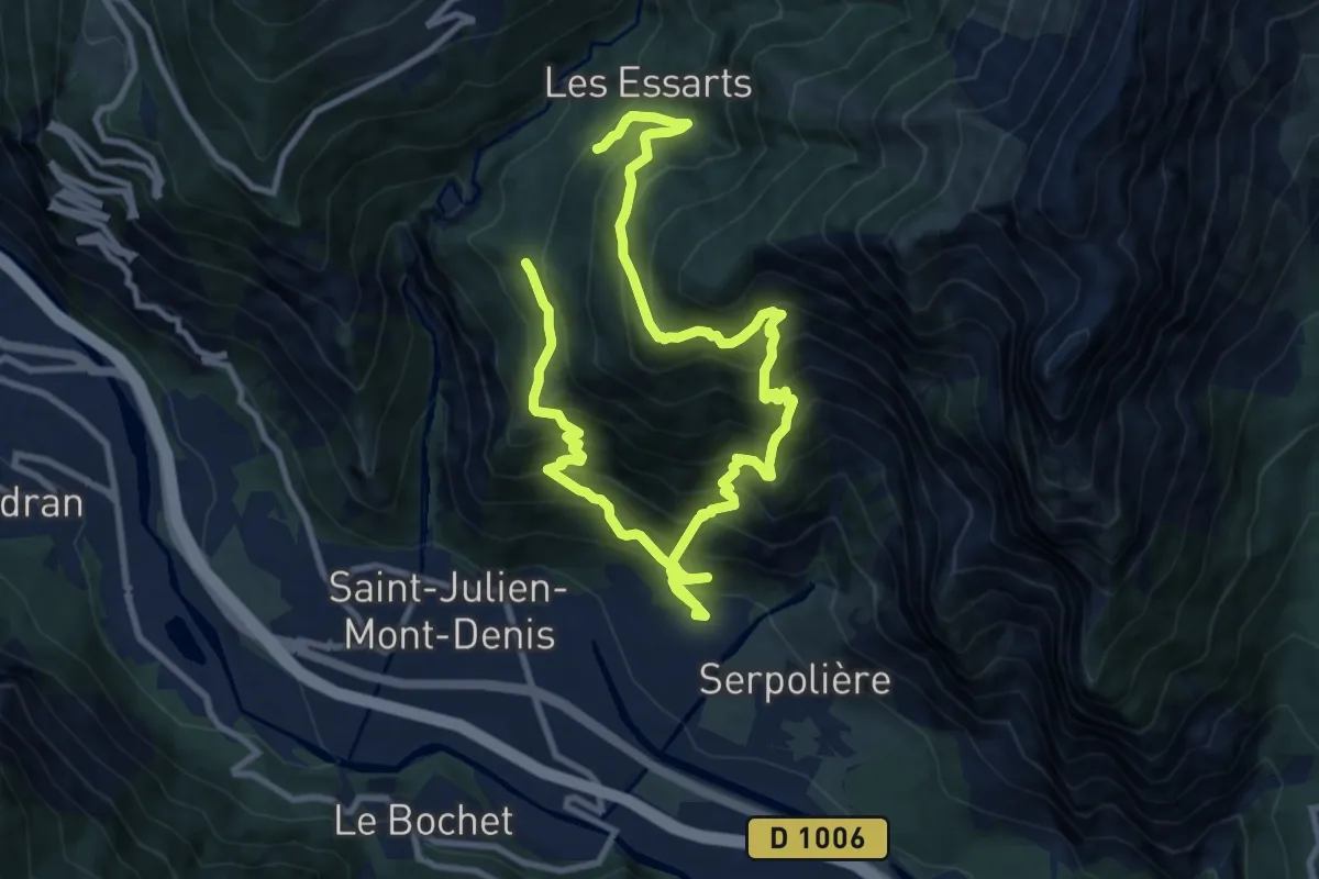
Demanding · Trail
B11 - Les Hauts de Tourmentier
8.0 km · ↑ 951 m · 4 h 1 min
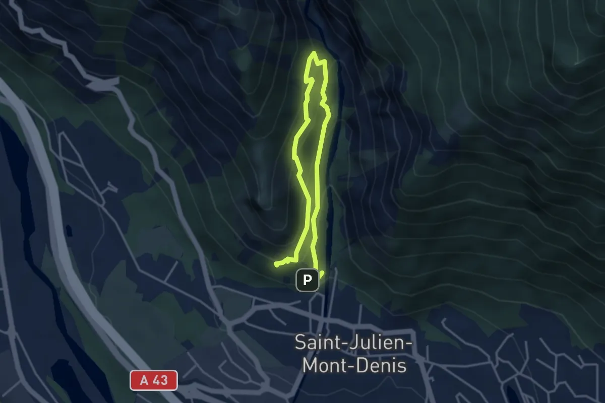
Demanding · Trail
B12 - Les Ardoisiers
2.4 km · ↑ 229 m · 1 h 5 min
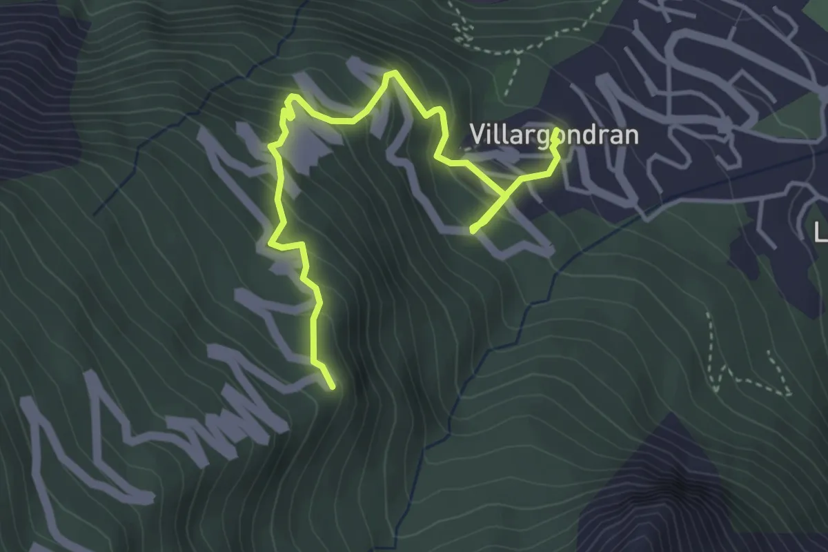
Medium · Trail
B13 - Malpasset
2.2 km · ↑ 363 m · 1 h 10 min
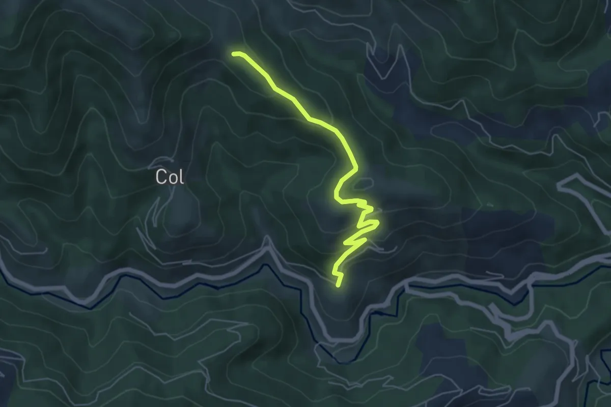
Easy · Trail
Bachasson - Jouan Blanc
5.3 km · ↑ 239 m · 1 h 46 min
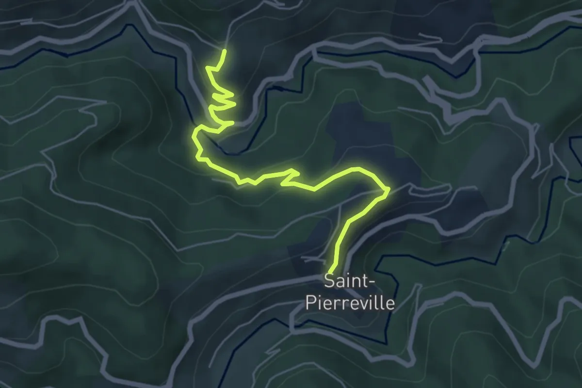
Easy · Trail
Bachasson - Saint-Pierreville
5.6 km · ↑ 232 m · 1 h 50 min
Easy · Trail
Badischer Winzerkeller - Breisach Bahnhof
2.5 km · ↑ 4 m · 36 min
Medium · Trail
Bagnoles-de-l'Orne
13.4 km · ↑ 186 m · 3 h 46 min
Medium · Trail
Baie de l'Orne
14.5 km · ↑ 52 m · 3 h 44 min
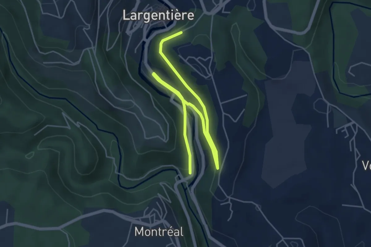
Easy · Trail
Baille - Le Bédéret
6.3 km · ↑ 133 m · 1 h 46 min
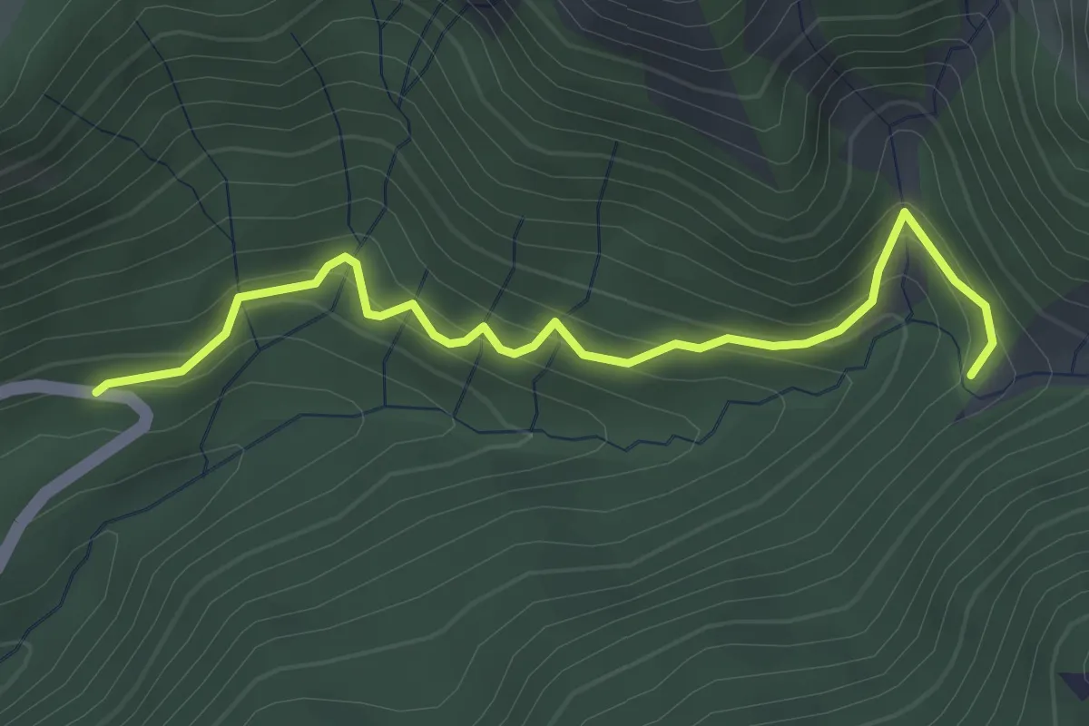
Easy · Trail
Baillenq - Torrent du Sapet
3.6 km · ↑ 290 m · 1 h 28 min
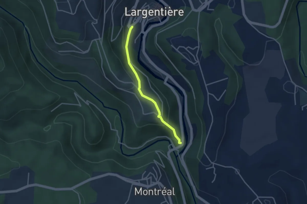
Easy · Trail
Baille - Place de l'église
2.6 km · ↑ 163 m · 58 min
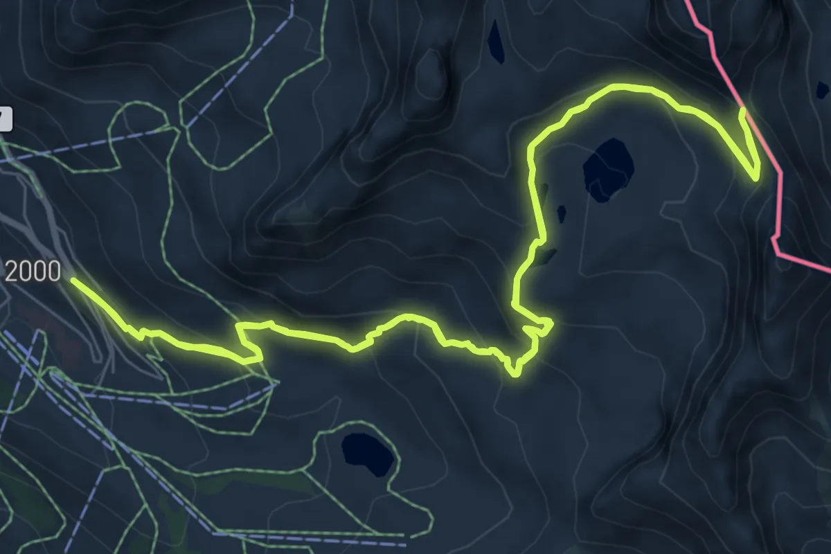
Demanding · Trail
Baisse de Druos
13.2 km · ↑ 890 m · 5 h 13 min
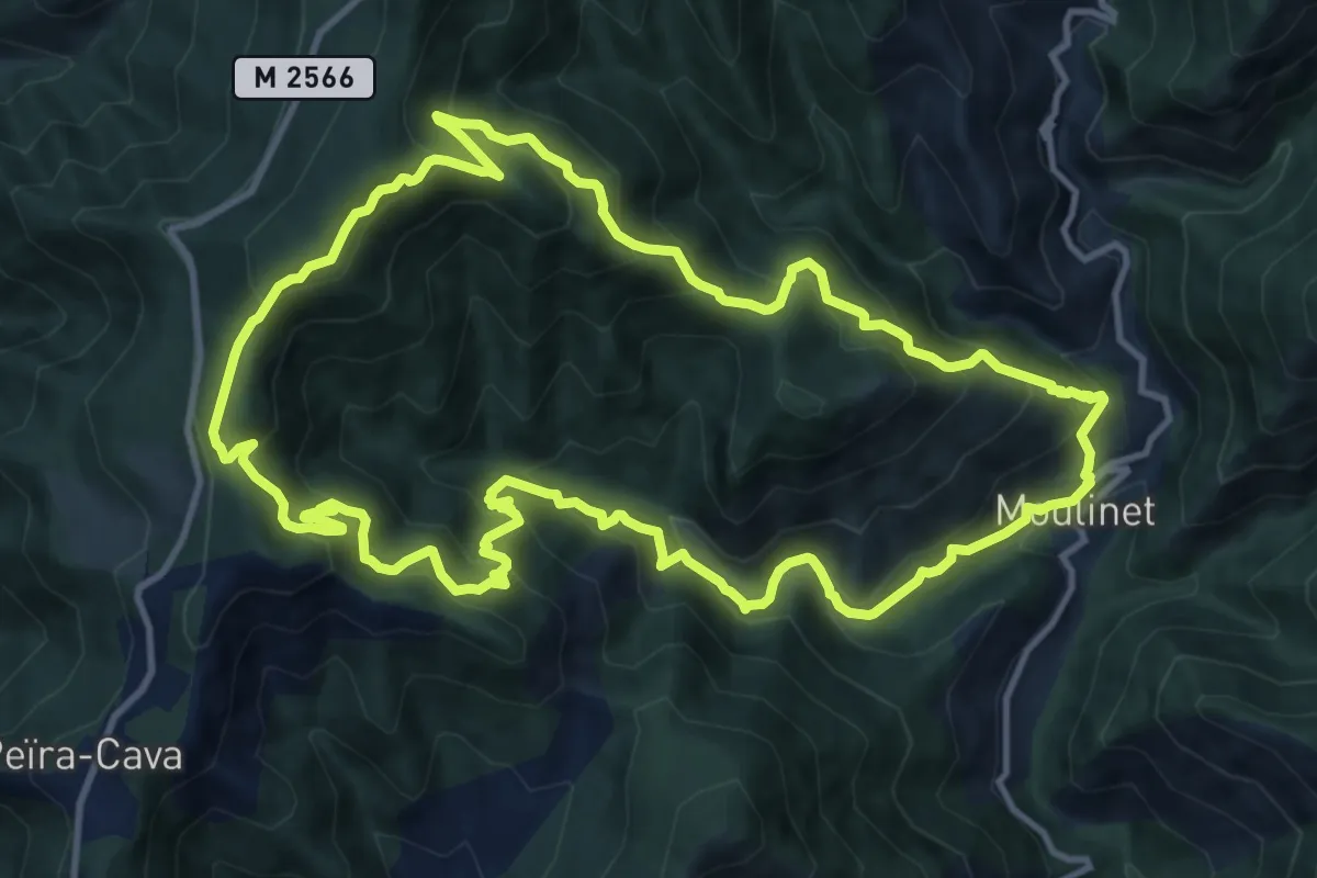
Demanding · Summit
Baisse de Peira Cava
13.1 km · ↑ 1175 m · 5 h 50 min
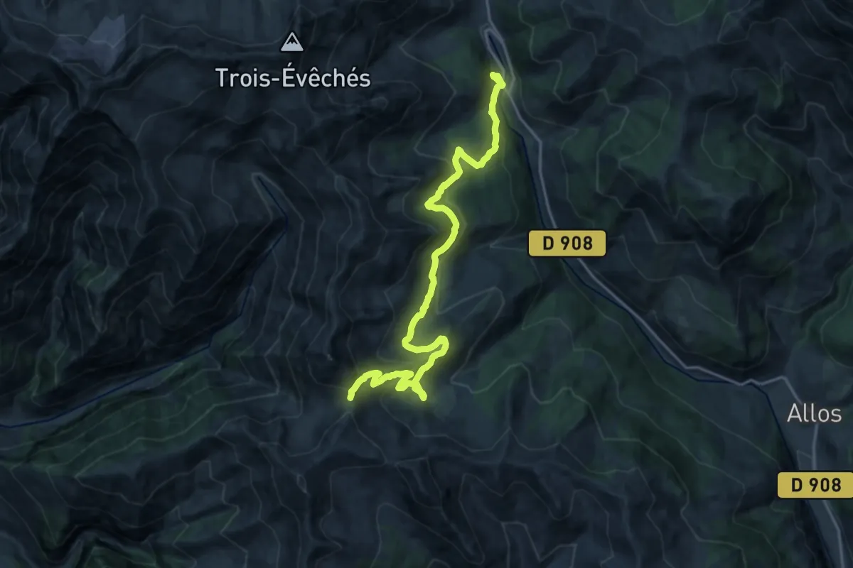
Medium · Trail
Baisse de Valdemars
9.9 km · ↑ 220 m · 3 h 16 min
Easy · Trail
Balade à 1000 temps
4.7 km · ↑ 79 m · 1 h 21 min
Easy · Trail
Balade à Féricy
7.3 km · ↑ 59 m · 1 h 57 min
Easy · Trail
Balade à travers bois
7.8 km · ↑ 93 m · 2 h 8 min
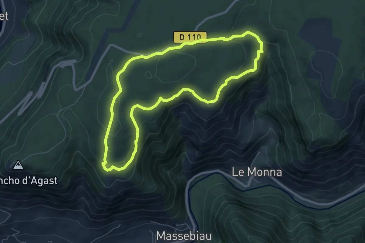
Medium · Trail
Balade au Cade
6.6 km · ↑ 227 m · 2 h 8 min
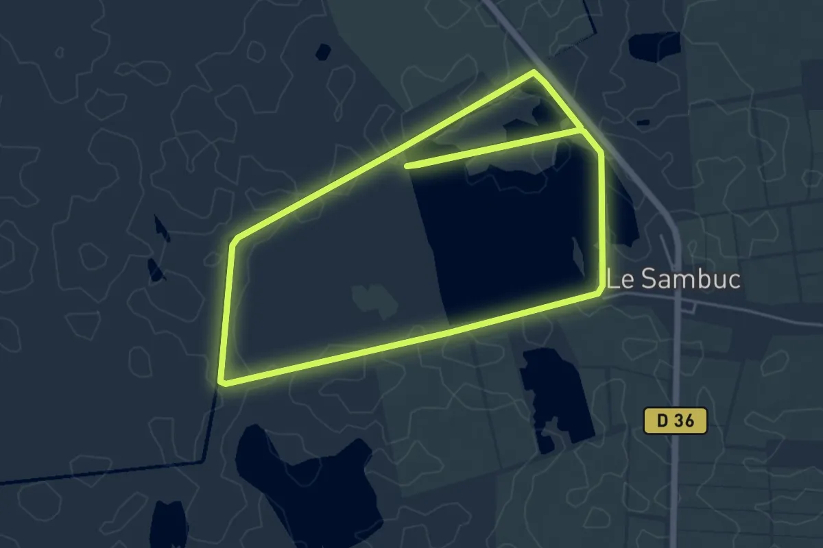
Easy · Trail
Balade au cœur des Marais du Verdier
5.7 km · ↑ 0 m · 1 h 26 min
Medium · Trail
Balade au Cœur du Bois de la Grande Vallée
10.2 km · ↑ 178 m · 2 h 56 min
Medium · Trail
Balade au Crotoy
10.1 km · ↑ 9 m · 2 h 32 min
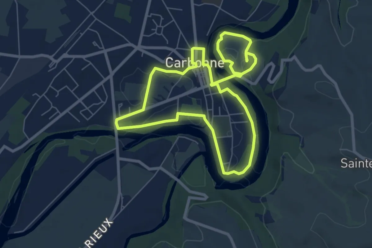
Medium · Trail
Balade au fil de l’eau
12.0 km · ↑ 103 m · 3 h 4 min
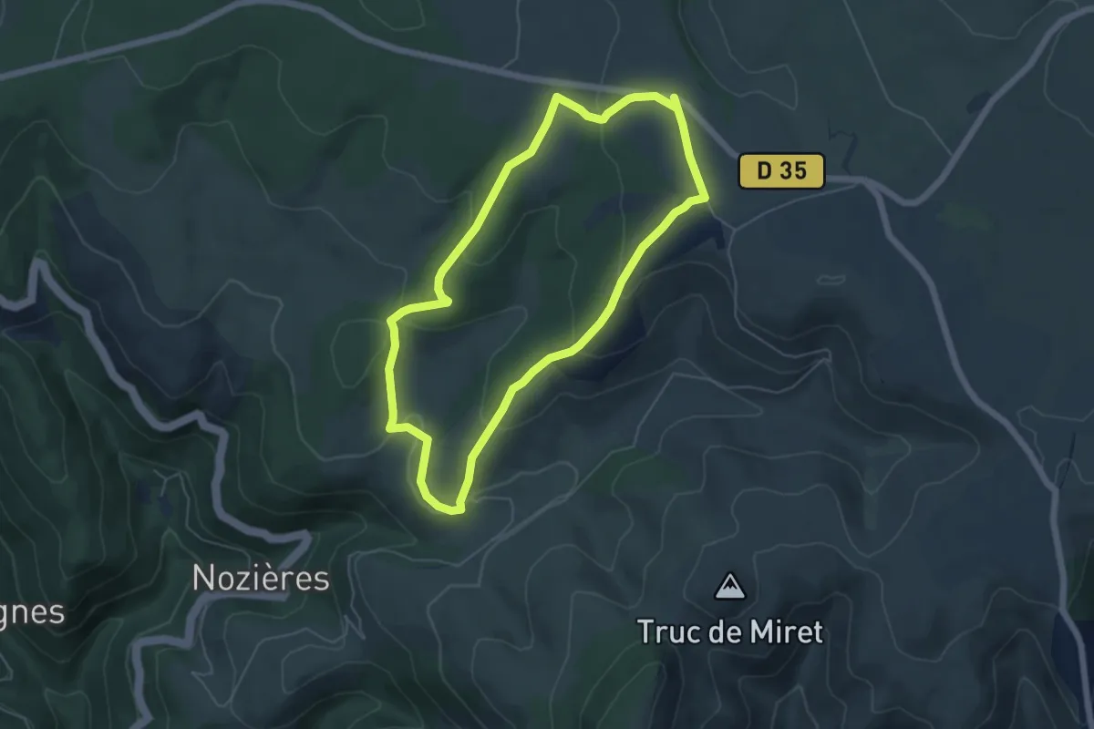
Easy · Trail
Balade au pays des menhirs
5.4 km · ↑ 177 m · 1 h 44 min
Medium · Trail
Balade au Pays du Couesnon
10.1 km · ↑ 125 m · 2 h 48 min
Medium · Trail
Balade au pied du château
8.7 km · ↑ 329 m · 2 h 53 min
Easy · Trail
Balade autour de Chevreuse
4.1 km · ↑ 64 m · 1 h 9 min
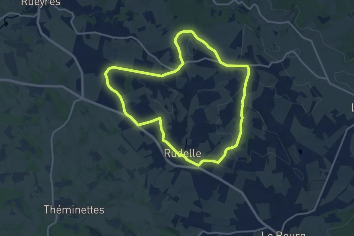
Medium · Trail
Balade autour de la Bastide
9.1 km · ↑ 151 m · 2 h 36 min