Trails in France
15,926 hiking trails, each with its route, climb, walking time and grade.
All trails, page 92 of 332
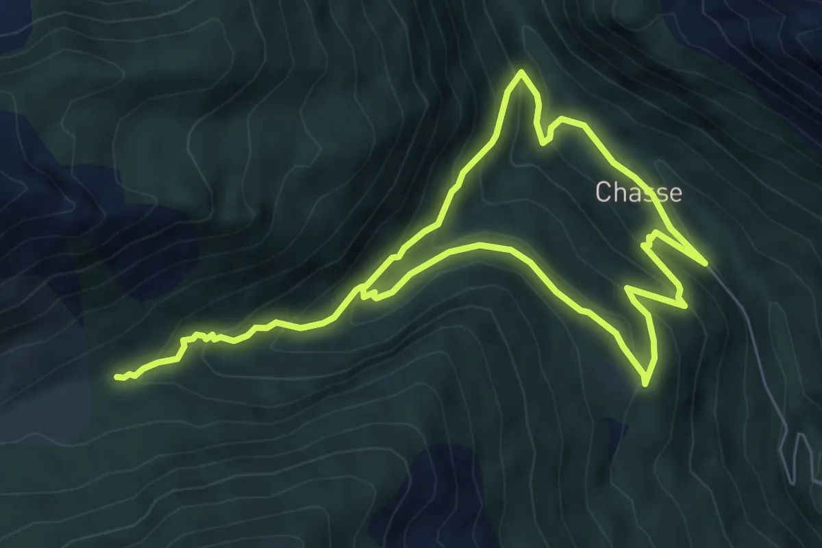
Easy · Trail
Cirque de Juan
5.9 km · ↑ 291 m · 2 h 12 min
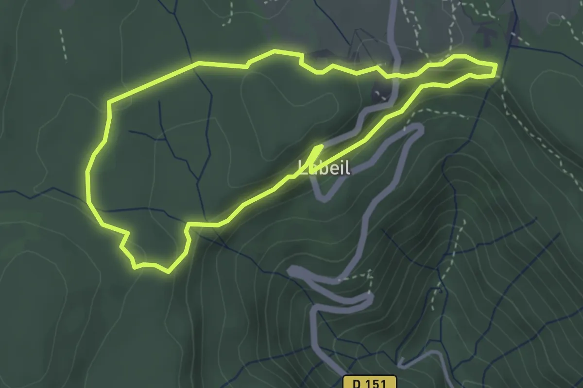
Easy · Trail
Cirque de Labeil
3.5 km · ↑ 104 m · 1 h 5 min
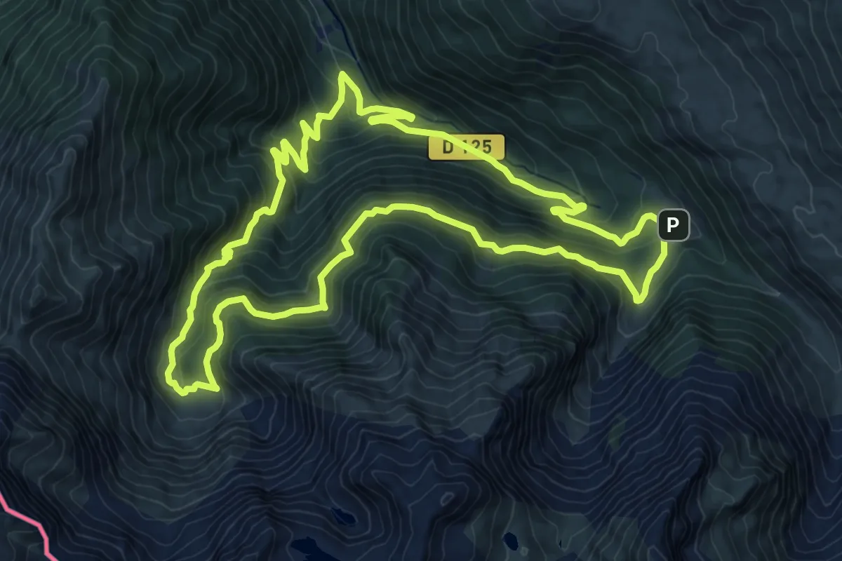
Demanding · Cabin
Cirque de la Glère
12.6 km · ↑ 803 m · 4 h 53 min
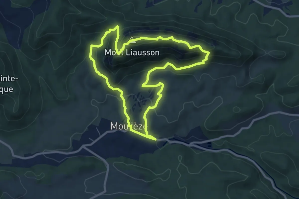
Medium · Summit
Cirque de Mourèze
6.8 km · ↑ 324 m · 2 h 24 min
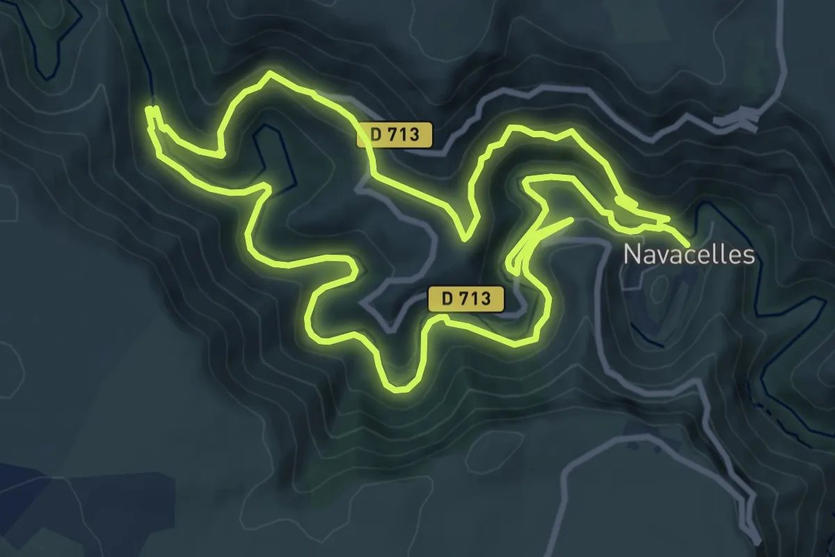
Medium · Trail
Cirque de Navacelles
9.4 km · ↑ 362 m · 3 h 9 min
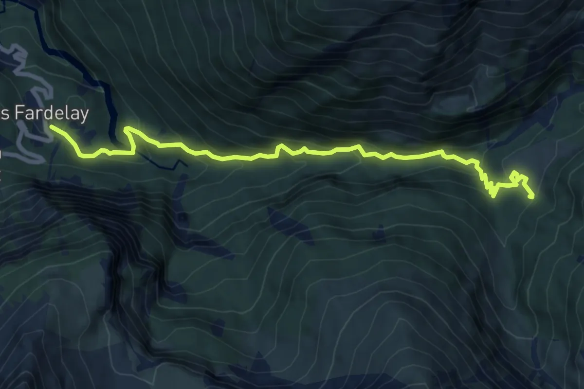
Expert · Cabin
Cirque des Fonts
3.8 km · ↑ 489 m · 1 h 50 min
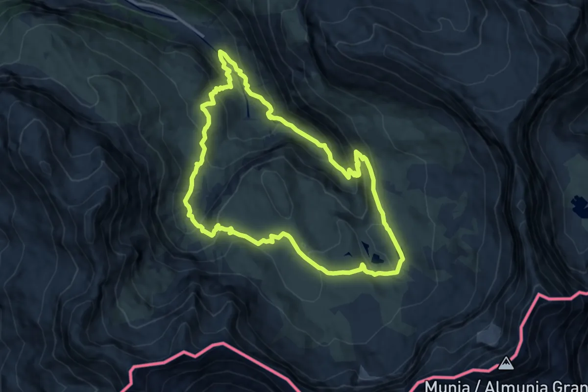
Medium · Cabin
Cirque de Troumouse
10.7 km · ↑ 662 m · 4 h 6 min
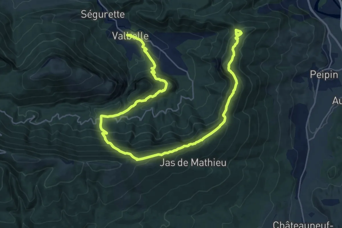
Medium · Trail
Cirque de Valbelle
14.5 km · ↑ 585 m · 5 h 7 min
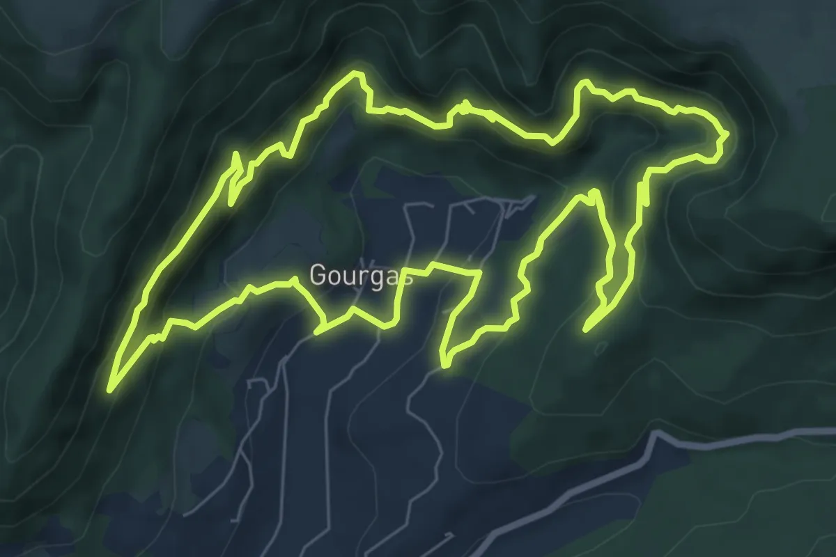
Demanding · Trail
Cirque du bout du Monde
18.3 km · ↑ 1137 m · 6 h 47 min
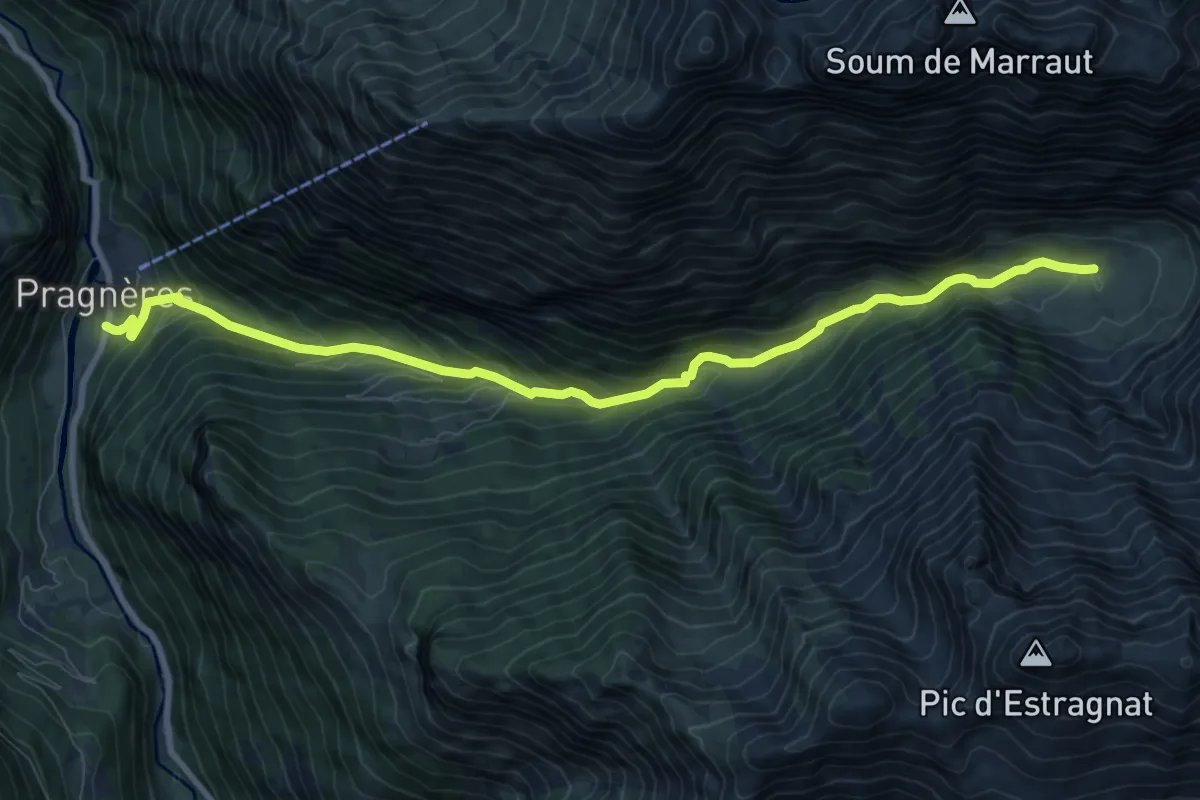
Medium · Trail
Cirque du Lis
10.4 km · ↑ 701 m · 3 h 59 min
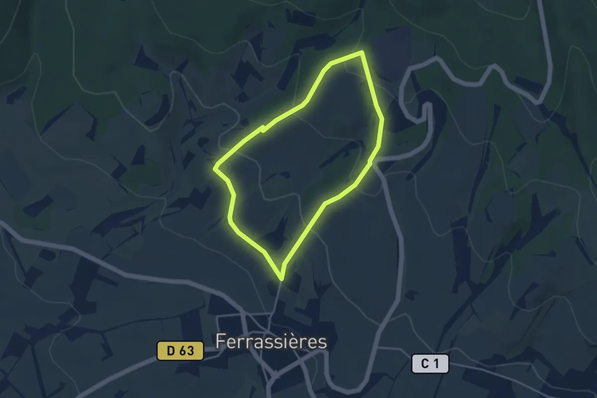
Easy · Trail
Cirquit Botanique
3.3 km · ↑ 140 m · 1 h 7 min
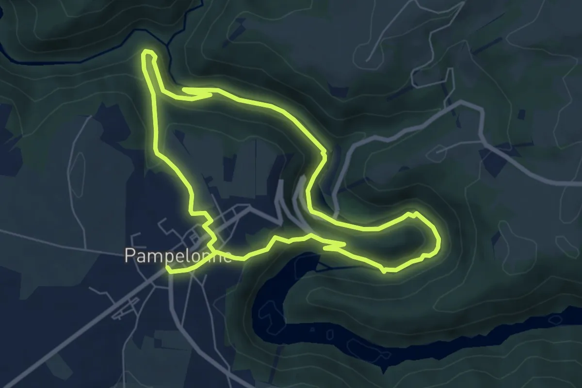
Medium · Trail
Ciruit du Château de Thuriès et du Viaur
12.9 km · ↑ 433 m · 3 h 58 min
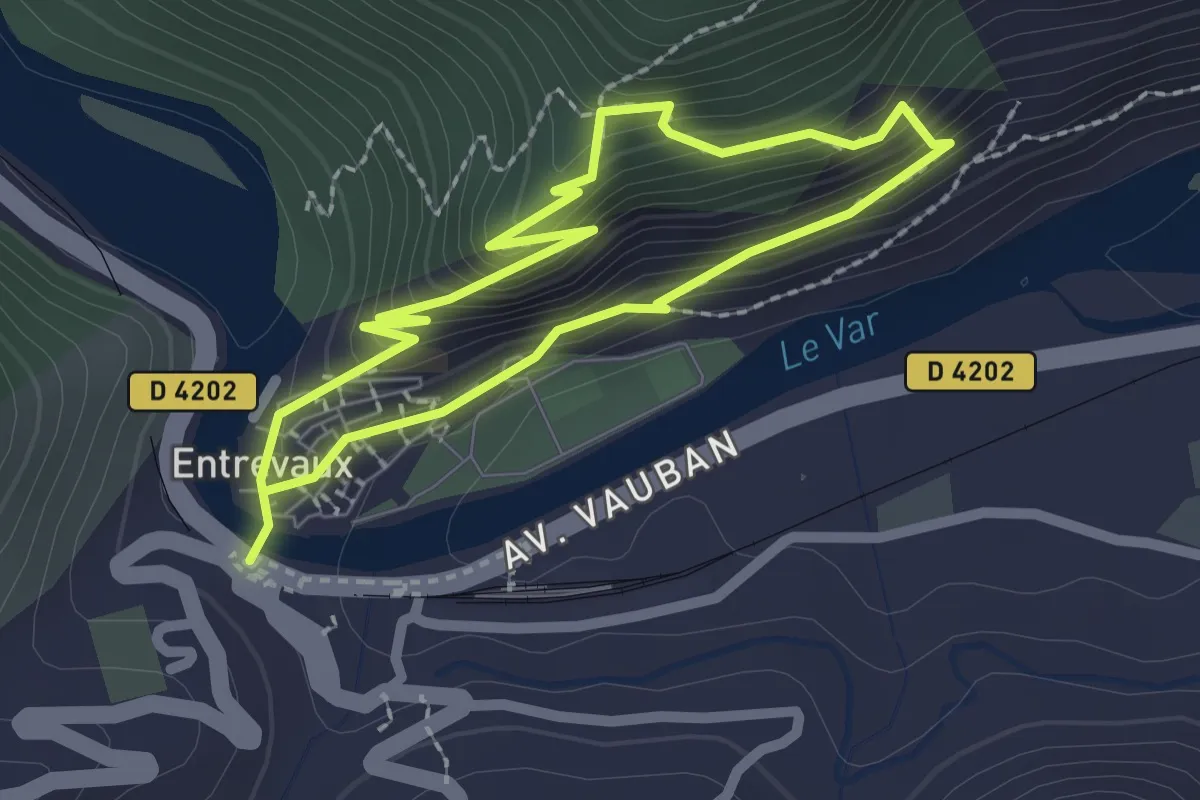
Easy · Trail
Citadelle et oliveraies d'Entrevaux
2.0 km · ↑ 152 m · 50 min
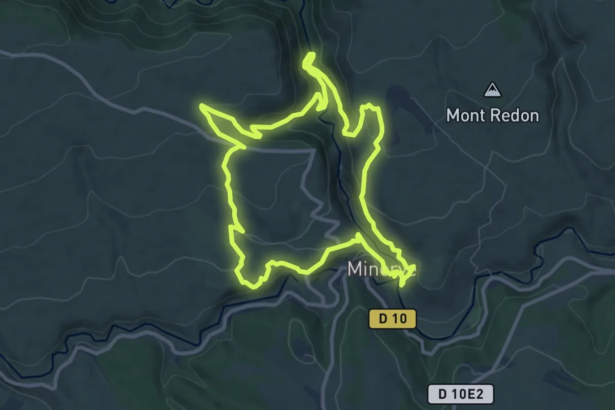
Medium · Trail
Cité de Minerve
8.8 km · ↑ 396 m · 3 h 4 min
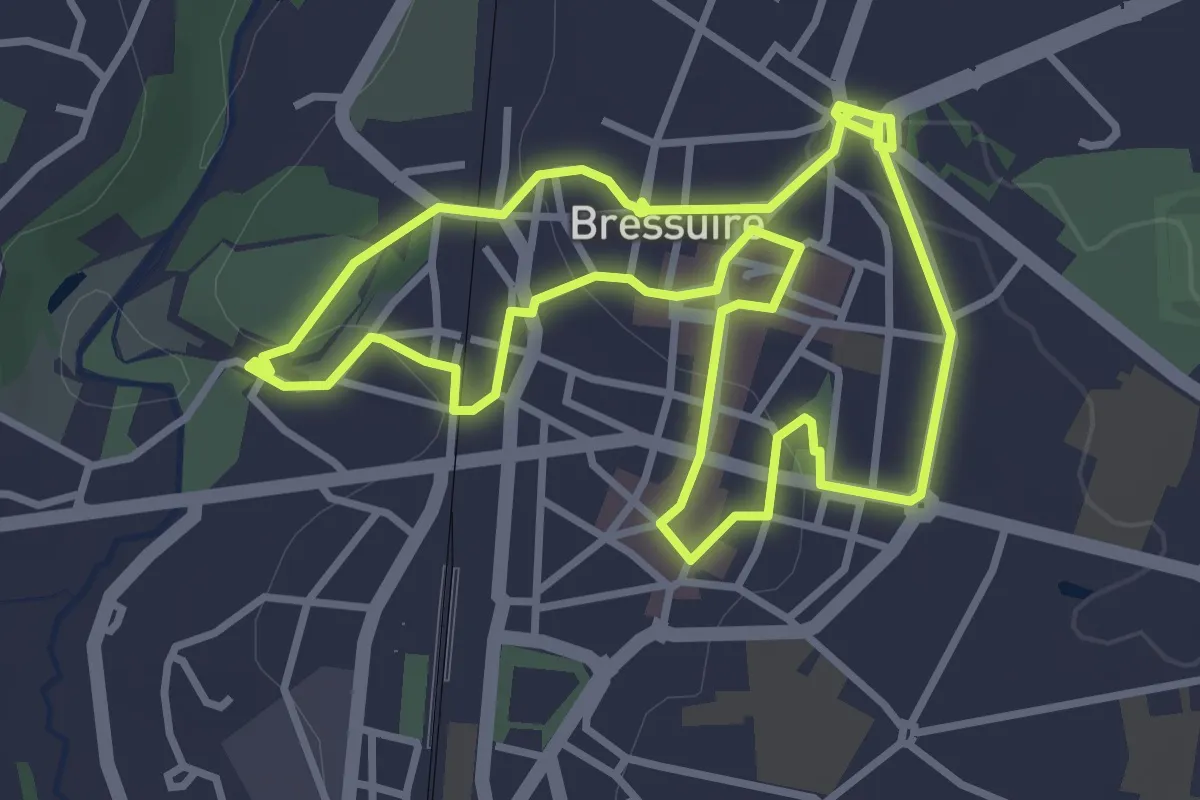
Easy · Trail
Cité des Beaumont
3.5 km · ↑ 63 m · 1 h 1 min
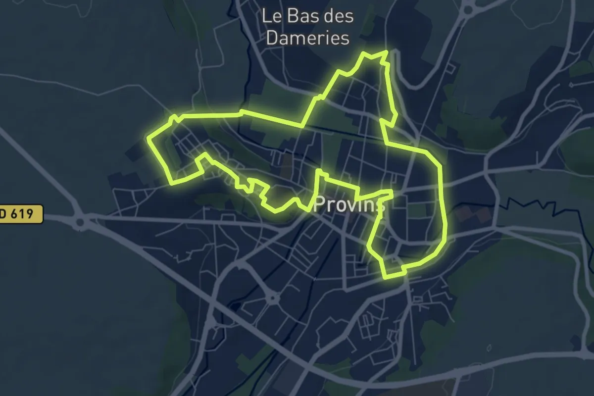
Easy · Trail
Cité médiévale de Provins
7.5 km · ↑ 85 m · 2 h 3 min
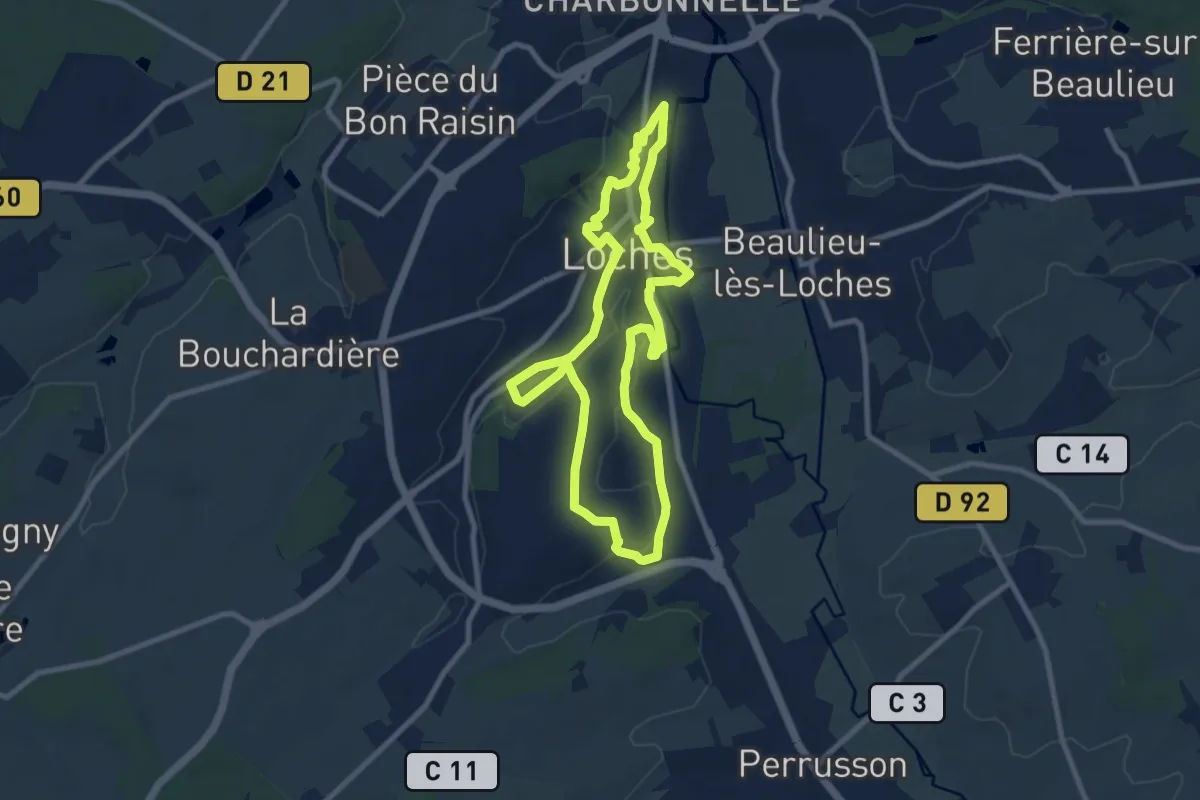
Medium · Trail
Cité royale et sentiers secrets
8.7 km · ↑ 121 m · 2 h 26 min
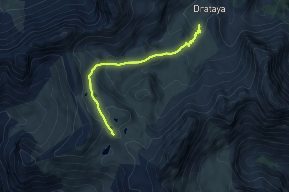
Medium · Trail
Clapeyto - Lacs Marion
6.0 km · ↑ 266 m · 1 h 59 min
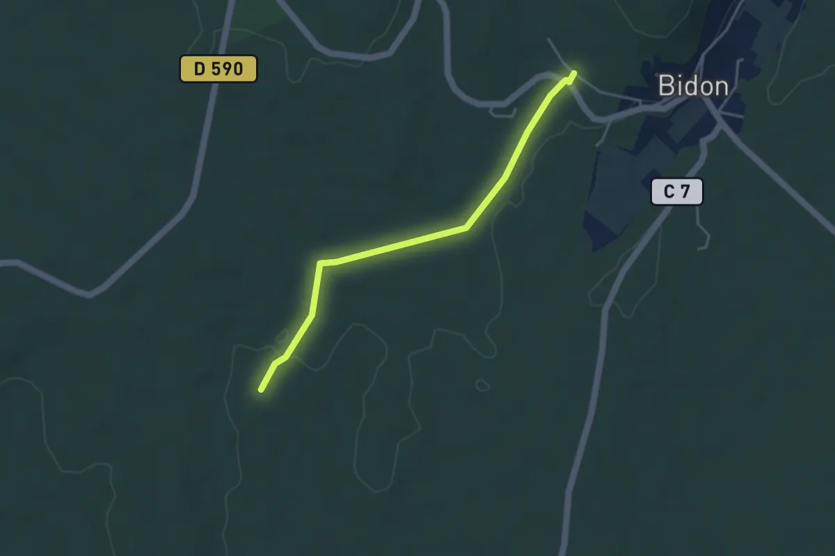
Easy · Trail
Claud de Goudaud - La Charette
3.7 km · ↑ 26 m · 56 min
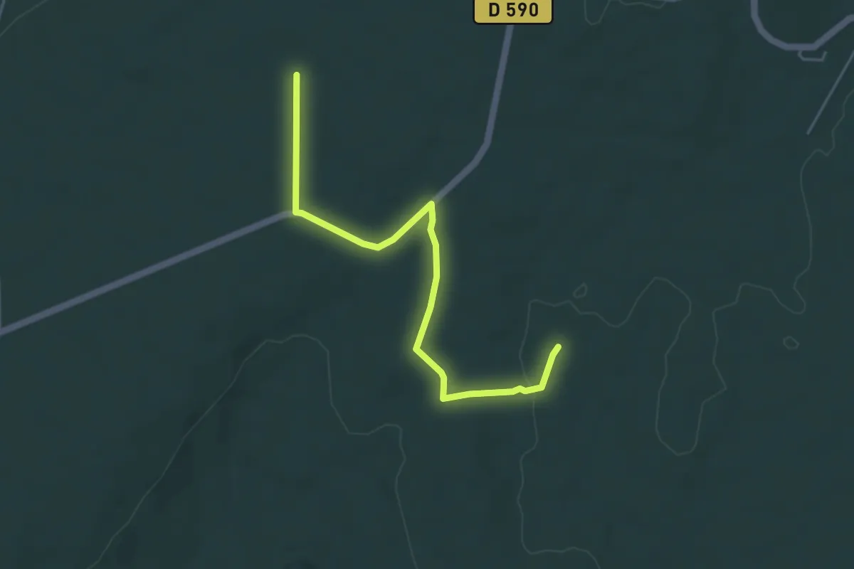
Easy · Trail
Claud de Goudaud - Malbosc
4.8 km · ↑ 44 m · 1 h 13 min
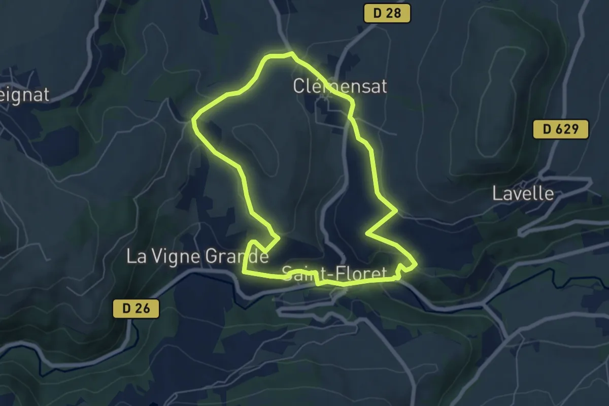
Easy · Trail
Clemensat
5.8 km · ↑ 181 m · 1 h 51 min
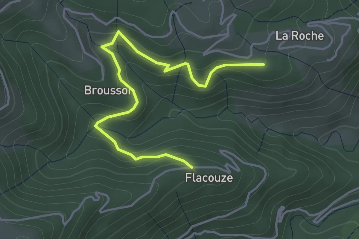
Easy · Trail
Clément - Flacouze
4.2 km · ↑ 254 m · 1 h 32 min
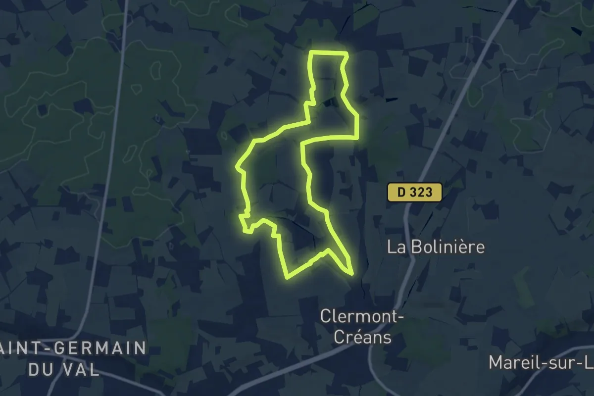
Medium · Trail
Clermont-Créans - le centre
8.6 km · ↑ 132 m · 2 h 26 min
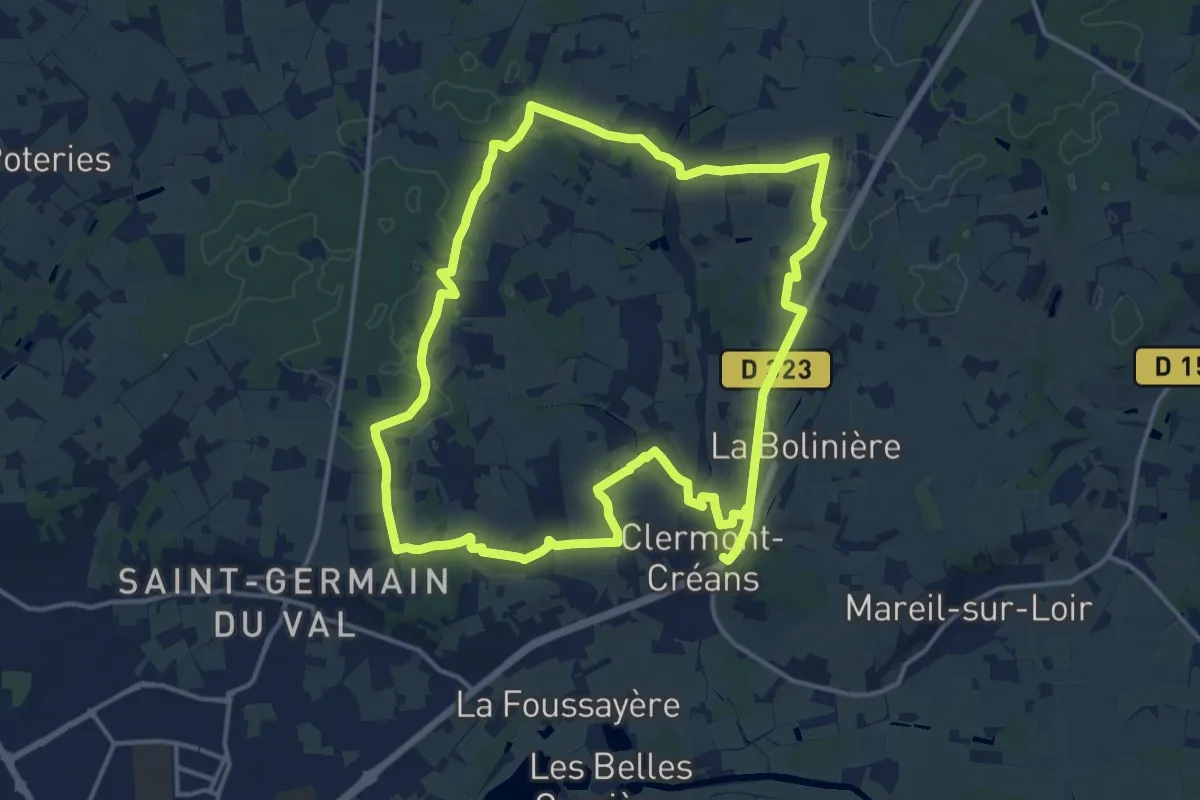
Medium · Trail
Clermont-Créans - le grand tour
15.2 km · ↑ 197 m · 4 h 13 min
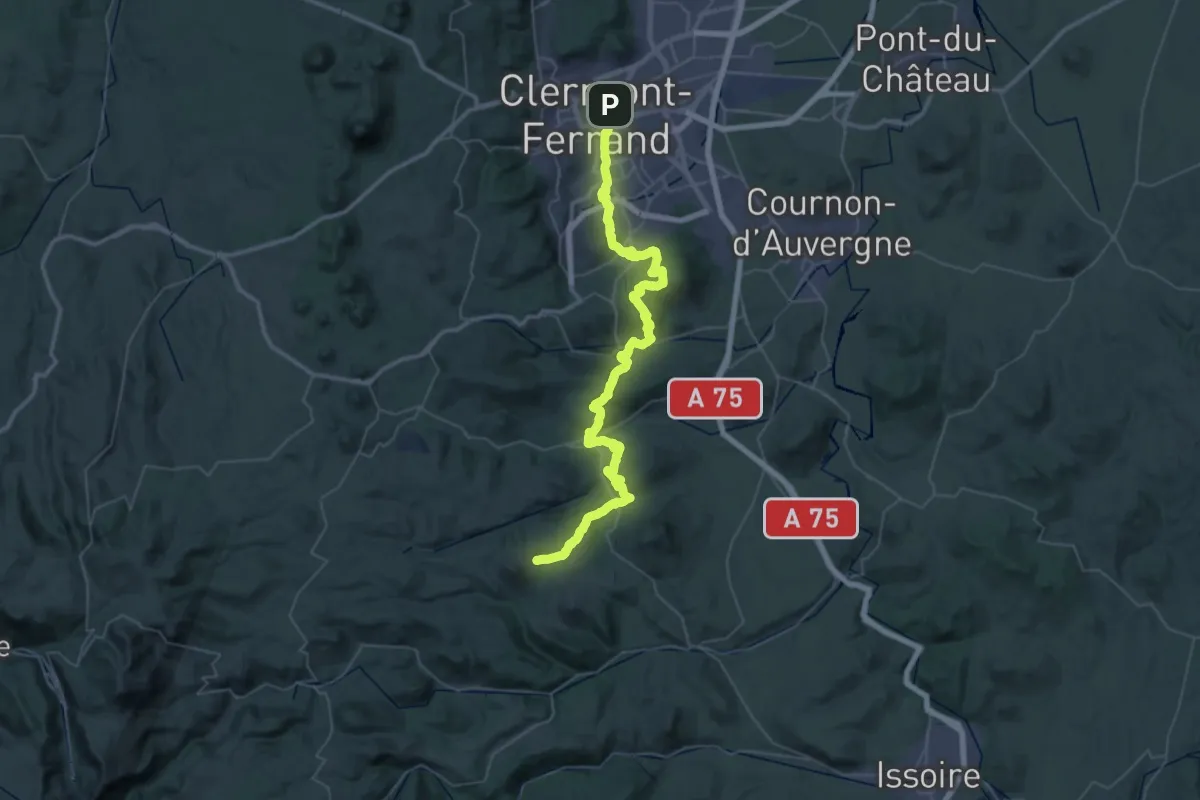
Demanding · Trail
Clermont-Ferrand - Olloix
31.3 km · ↑ 1148 m · 10 h 7 min
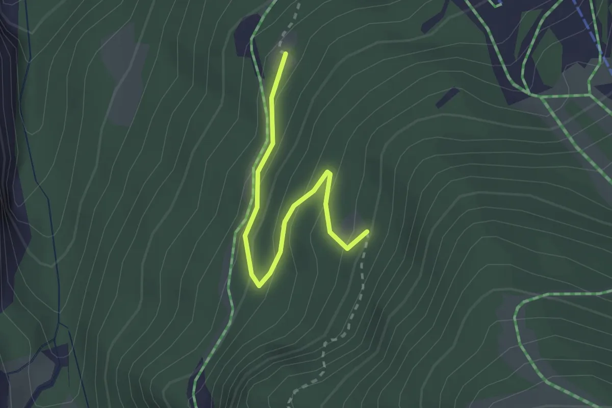
Medium · Trail
Clos Chisa - ?
2.4 km · ↑ 179 m · 57 min
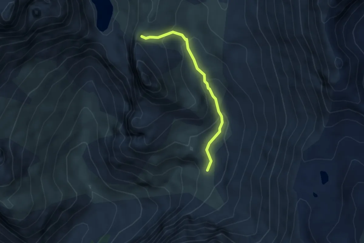
Medium · Trail
Clos d'Âne - Clot des Vaches
3.4 km · ↑ 223 m · 1 h 17 min
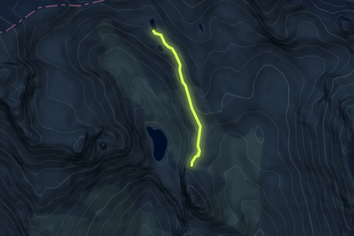
Medium · Trail
Clos d'Âne - Lac de la Ponsonnière
3.2 km · ↑ 142 m · 1 h 3 min
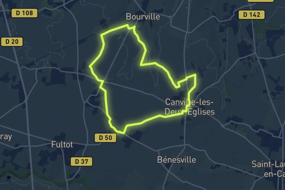
Medium · Trail
clos des marniere
12.1 km · ↑ 84 m · 3 h 12 min
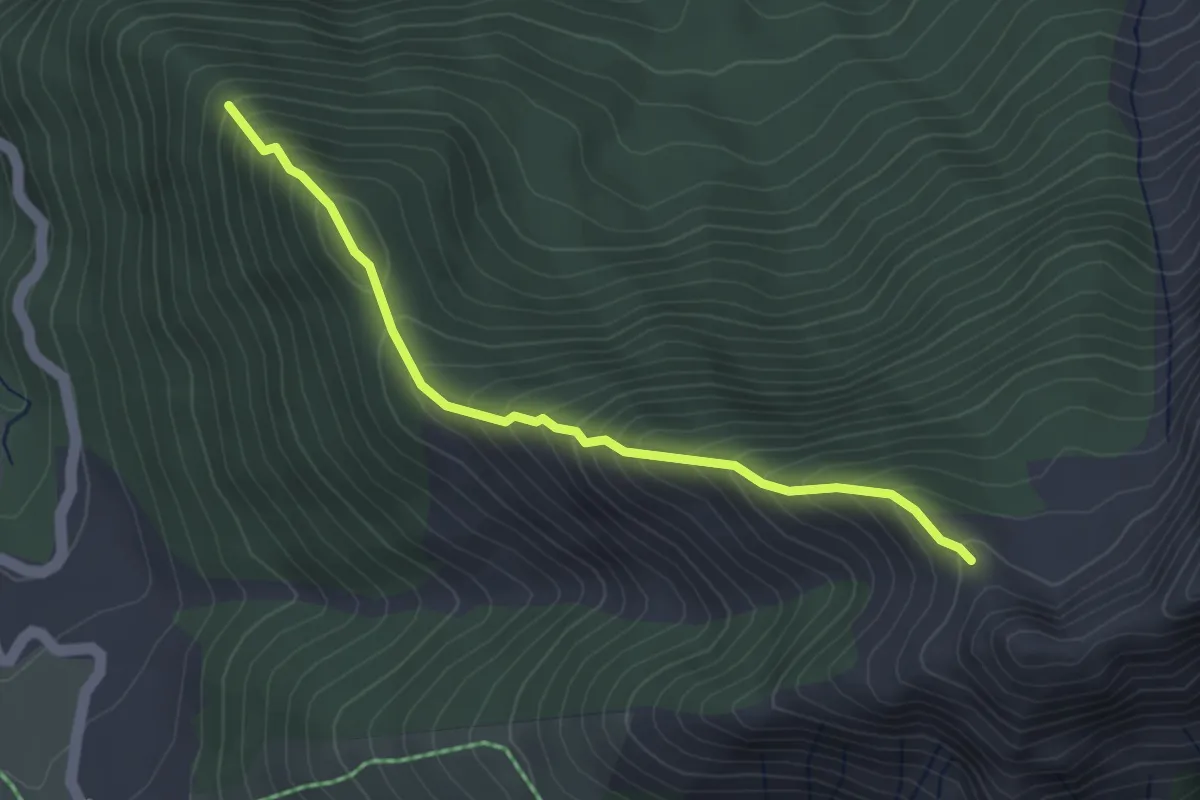
Medium · Trail
Clos Tourci - La Pinouse
3.6 km · ↑ 403 m · 1 h 43 min
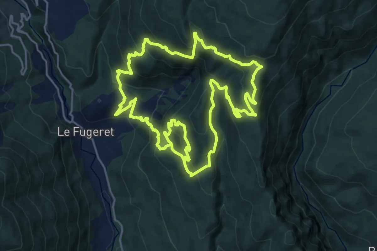
Medium · Trail
Clot Bernard - La Rate
13.5 km · ↑ 776 m · 5 h 3 min
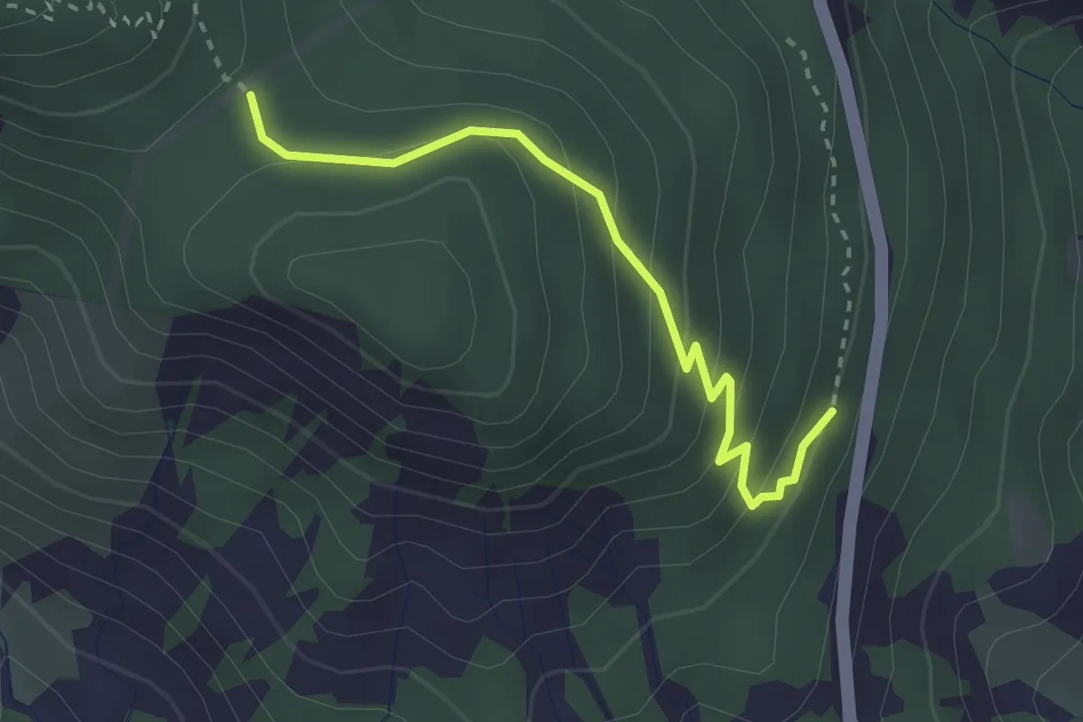
Medium · Trail
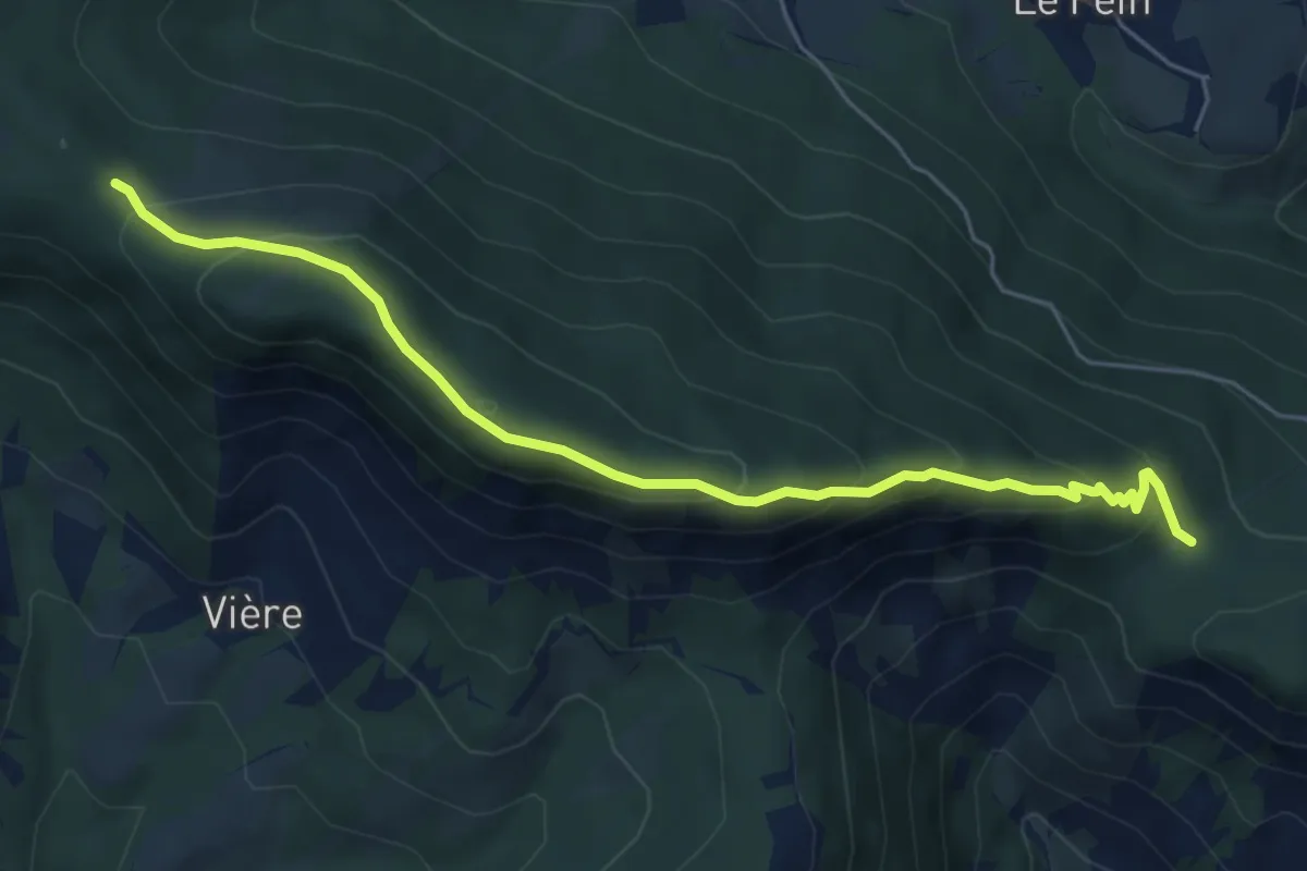
Clot Charmentier - ?
2.8 km · ↑ 182 m · 1 h 4 min
Medium · Trail
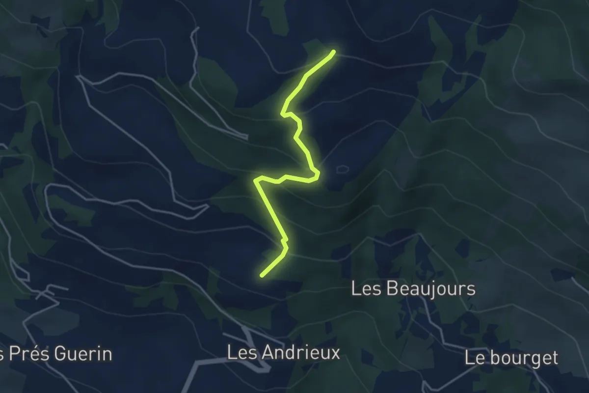
Clot Charmentier - Clot Clavary
6.2 km · ↑ 375 m · 2 h 16 min
Easy · Trail
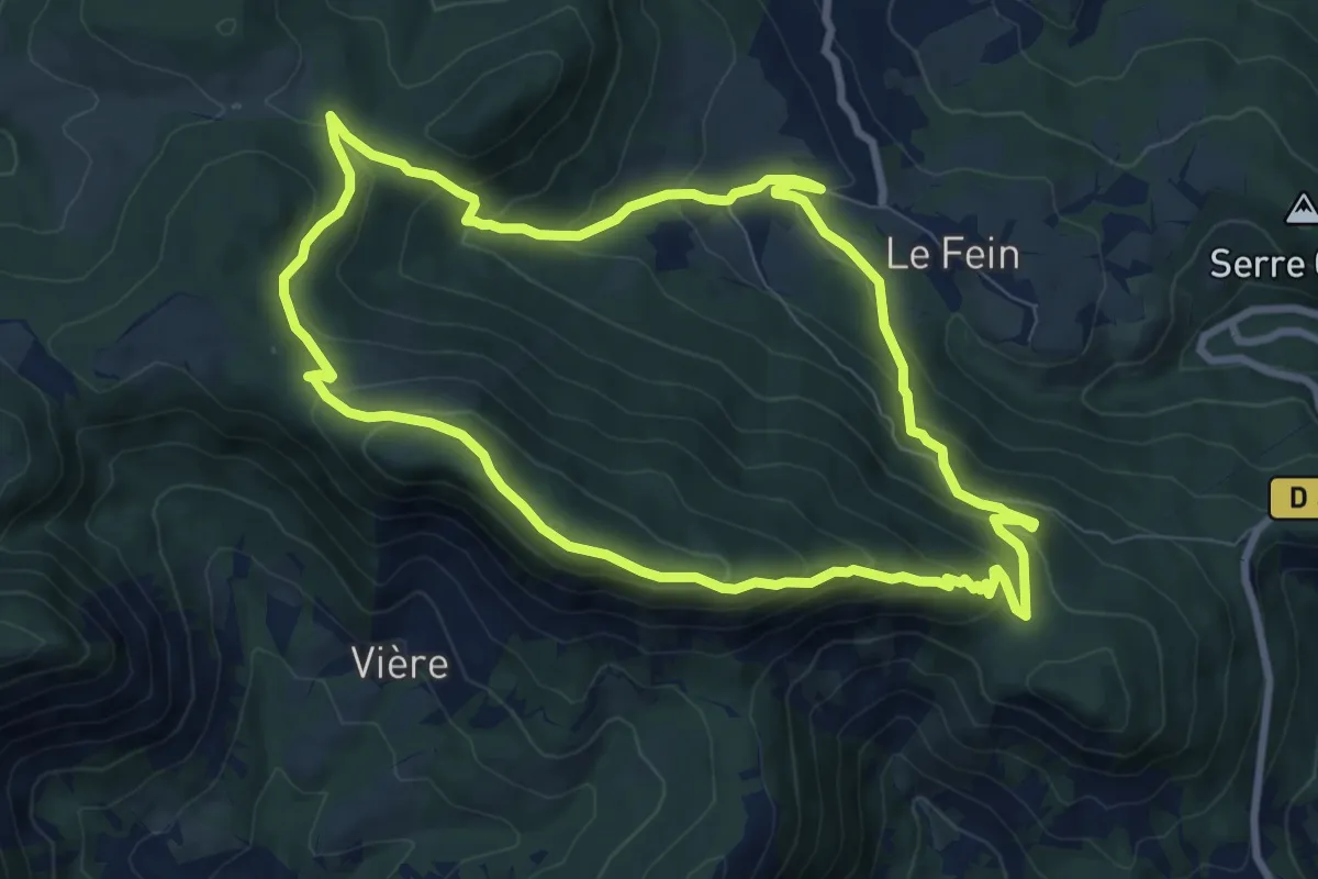
Clot Chaud - Serre Gontier
3.4 km · ↑ 282 m · 1 h 25 min
Medium · Trail
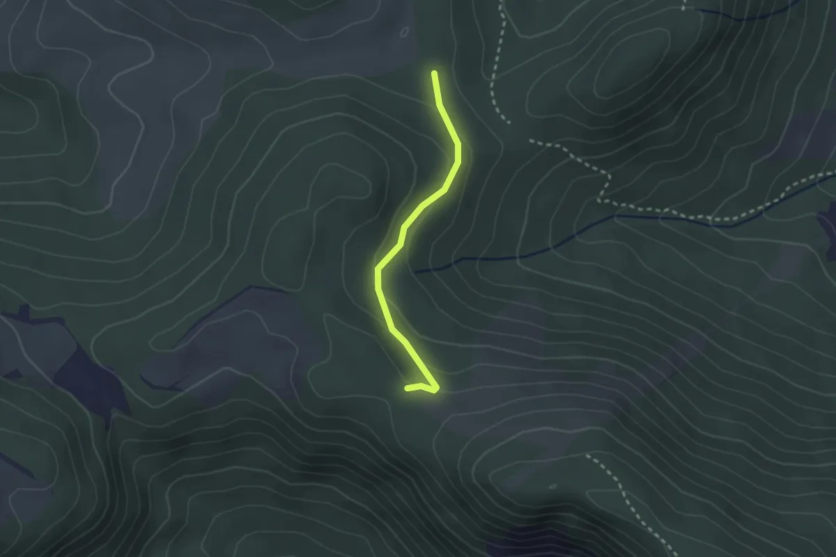
Clot-Clavary
8.6 km · ↑ 460 m · 3 h 9 min
Easy · Trail
Clot Clavary - Le Sarrouet
2.3 km · ↑ 88 m · 44 min
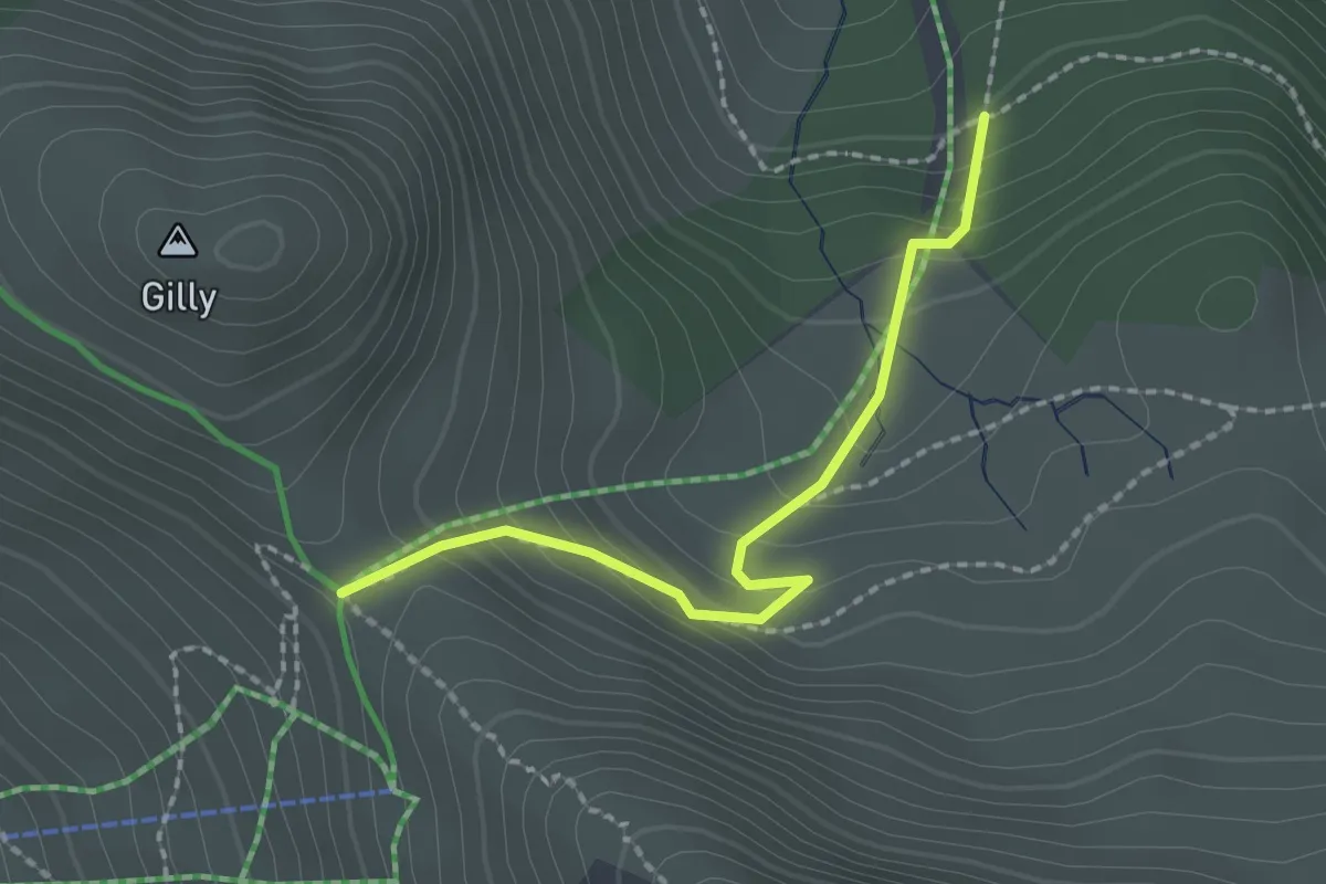
Medium · Trail
Clot de Besseys - Collette de Gilly
2.0 km · ↑ 169 m · 50 min
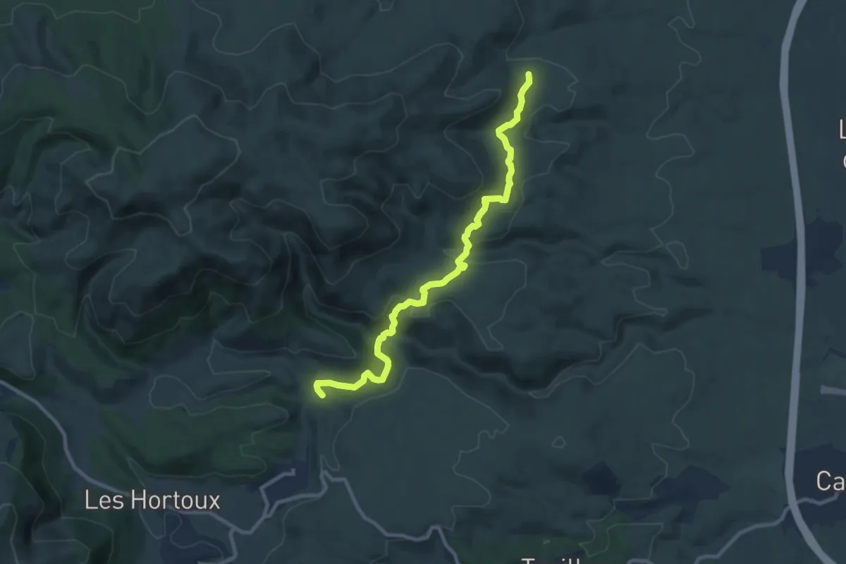
Medium · Trail
Clot de l'Aigue - Gauja
10.0 km · ↑ 301 m · 3 h 1 min
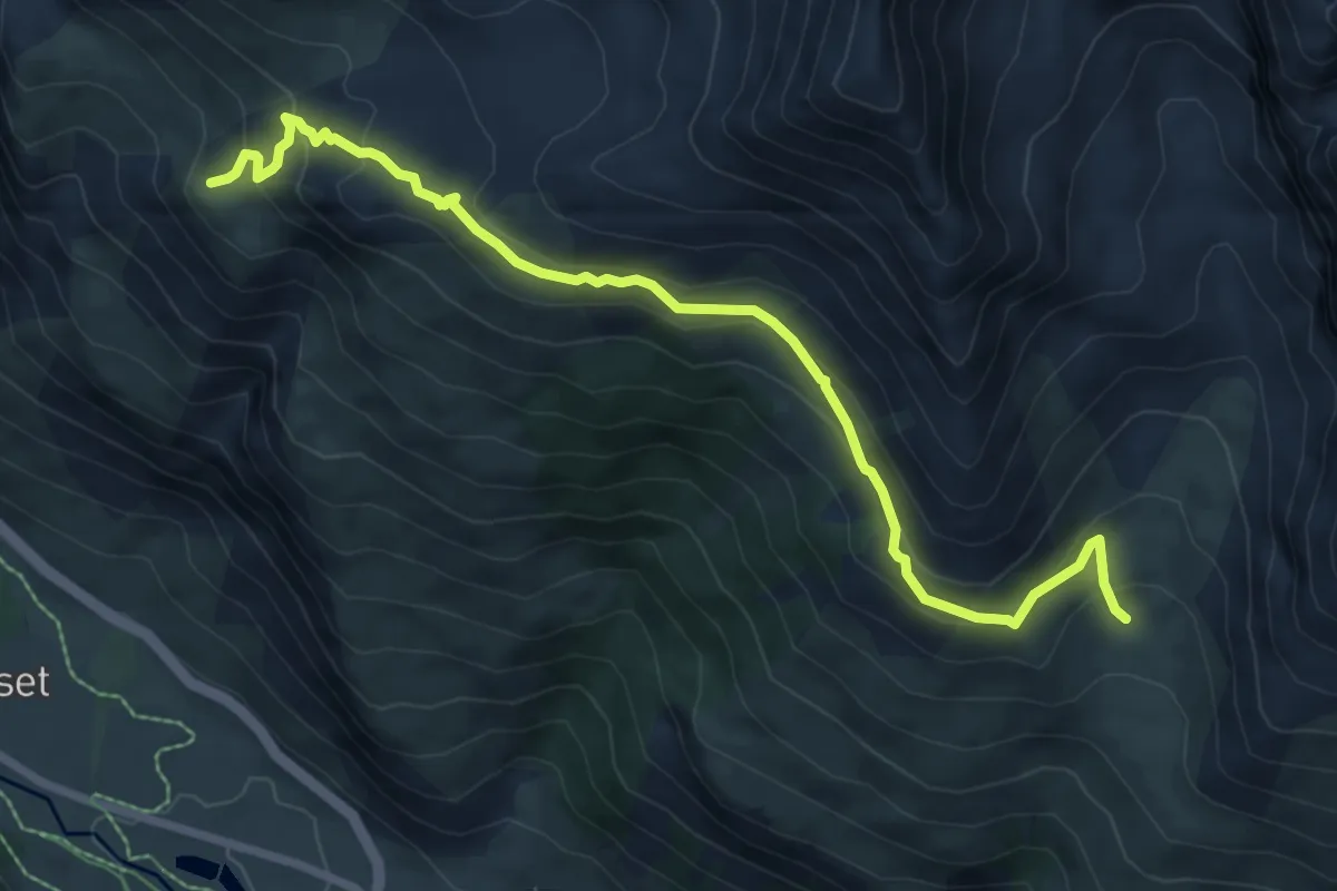
Medium · Trail
Clot de la Selle - Près du Vallon
8.6 km · ↑ 410 m · 2 h 55 min
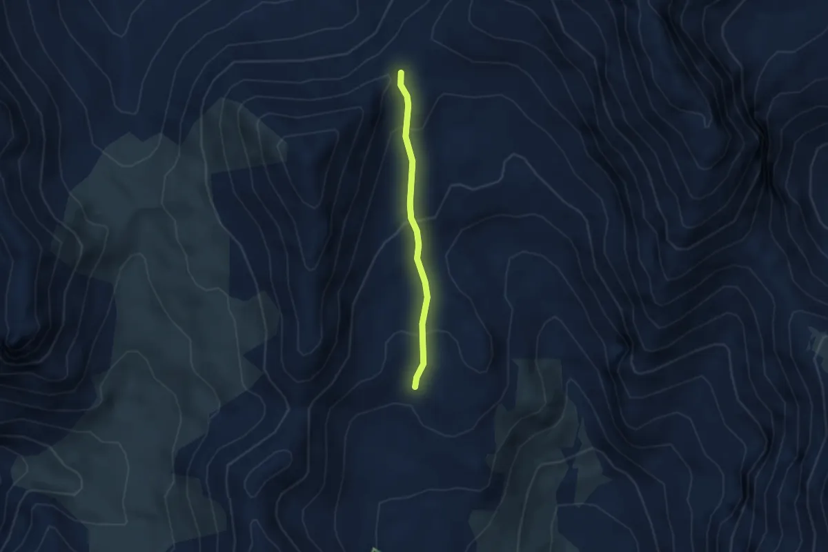
Easy · Trail
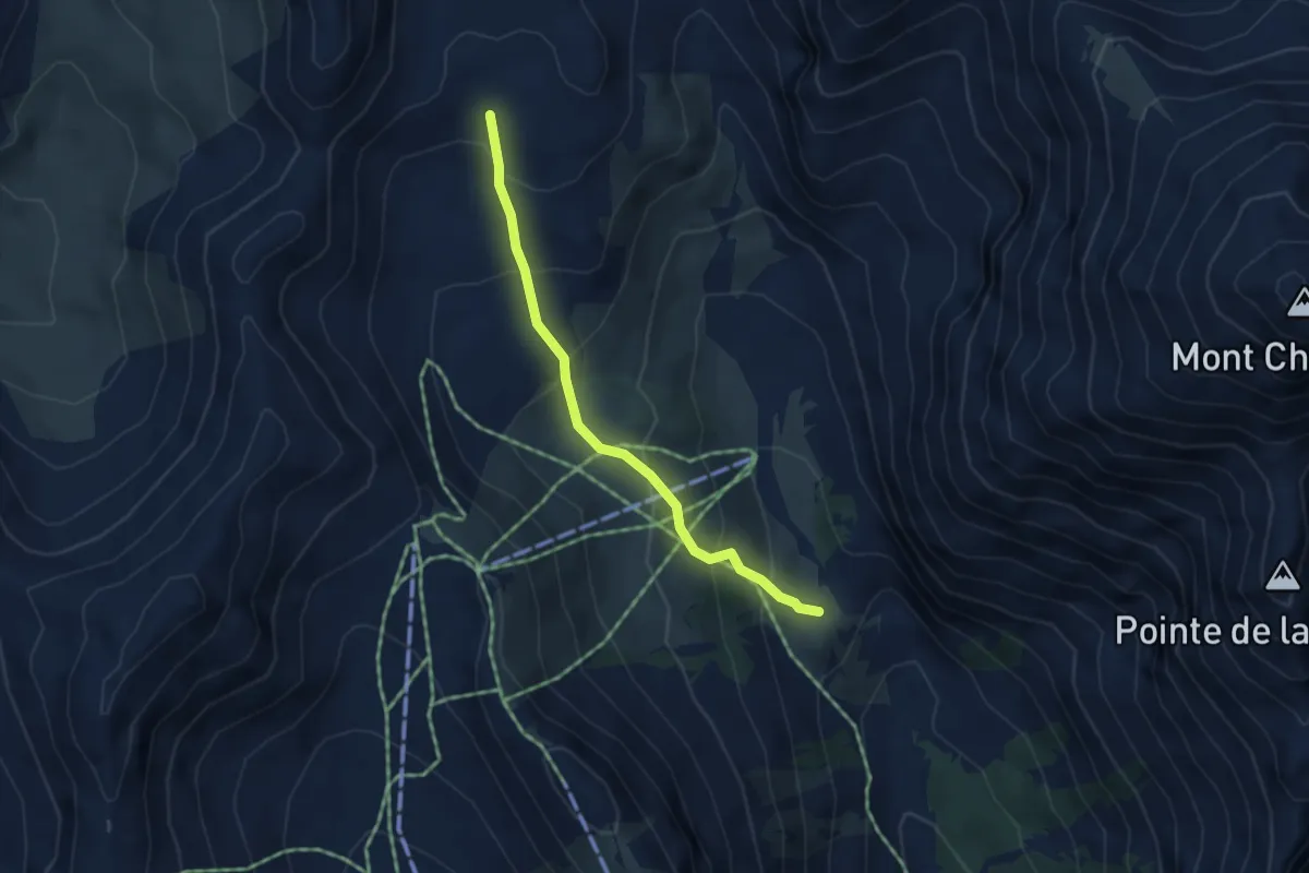
Clot des Fonds - Col des 3 Frères Mineurs
2.9 km · ↑ 155 m · 1 h 1 min
Medium · Trail
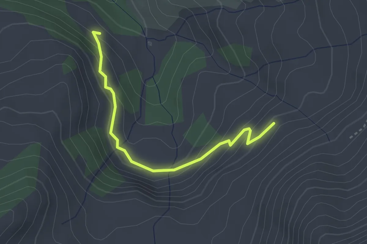
Clot des Fonds - Plateau des Baïsses
3.7 km · ↑ 290 m · 1 h 31 min
Easy · Trail
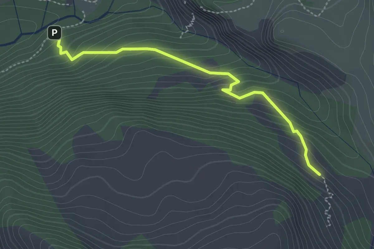
Clot des Naïs - La Chabane
3.0 km · ↑ 202 m · 1 h 8 min
Easy · Trail
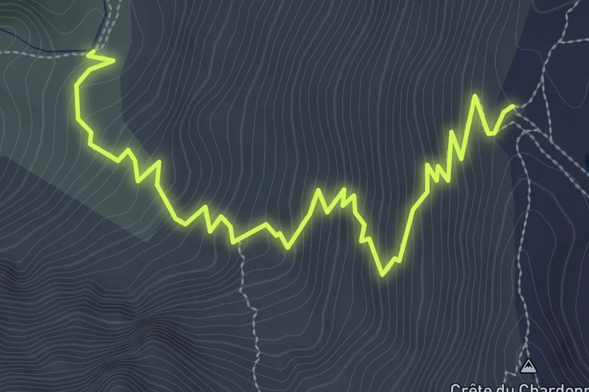
Clot des Naïs - Les Paras
2.7 km · ↑ 207 m · 1 h 6 min
Medium · Trail
Clot des Vaches - Col du Chardonnet
4.2 km · ↑ 426 m · 1 h 55 min
Easy · Trail
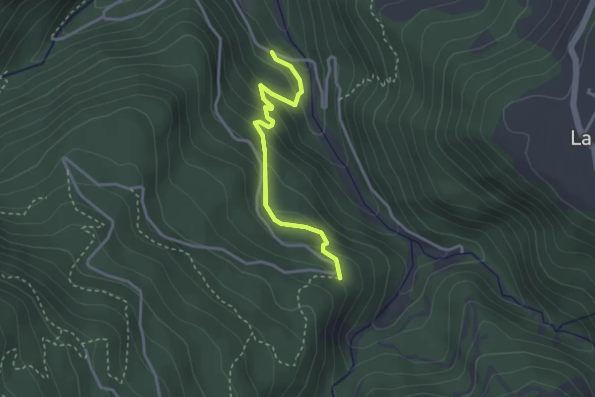
Clot des Vernes - Les Chevalets
2.6 km · ↑ 210 m · 1 h 5 min
Easy · Trail
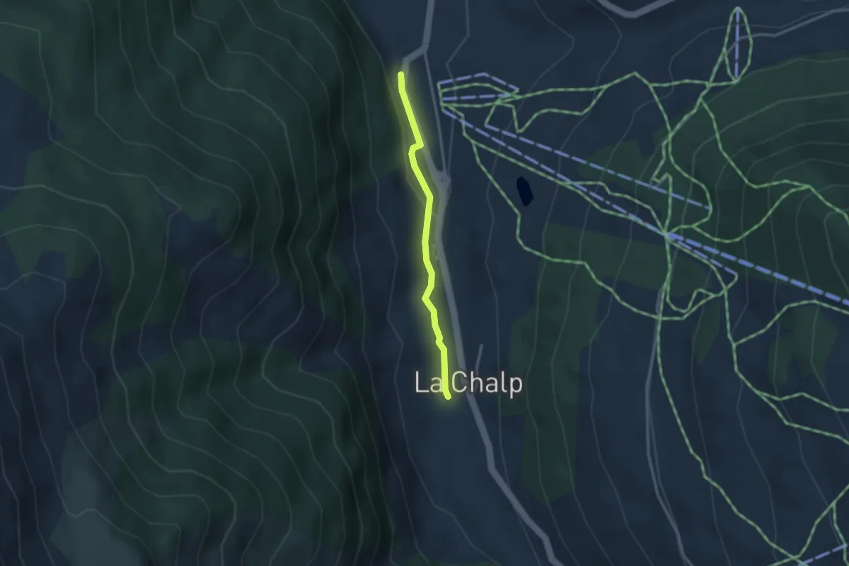
Clot La Chalp - La Chalp de Saint-Véran
2.5 km · ↑ 53 m · 42 min
Medium · Trail
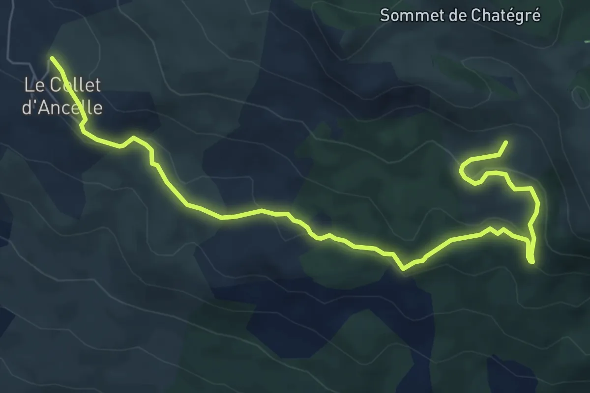
Clot Loubine - ?
8.4 km · ↑ 269 m · 2 h 34 min
Medium · Trail
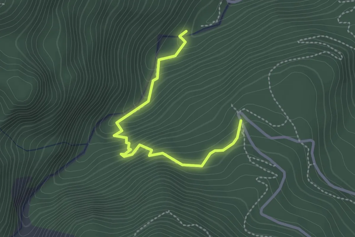
Clôt Napoléon et Clôt Mélèze - Belvédère du Colombier
2.6 km · ↑ 234 m · 1 h 7 min