Trails near Bohmte
95 hikes starting within 15 km, nearest first.
Nearest first, page 1 of 2

Medium · Trail
Kleeblattweg 3
15.1 km · ↑ 32 m · 3 h 51 min · 1 km away

Medium · Trail
Kleeblattweg 1
13.6 km · ↑ 26 m · 3 h 28 min · 1 km away

Medium · Trail
Kleeblattweg 2
12.0 km · ↑ 48 m · 3 h 6 min · 3 km away

Medium · Summit
Kleeblattweg 4
11.5 km · ↑ 115 m · 3 h 7 min · 4 km away

Easy · Trail
TERRA.track "Stirper Berg" - ZUWEG
7.7 km · ↑ 4 m · 1 h 50 min · 4 km away

Easy · Summit
TERRA.track "Stirper Berg"
7.3 km · ↑ 113 m · 2 h 4 min · 4 km away

Demanding · Summit
Bad Essener Ringweg
28.4 km · ↑ 649 m · 8 h 34 min · 5 km away

Demanding · Summit
DiVa Walk - Etappe 2
44.3 km · ↑ 634 m · 11 h 50 min · 5 km away

Easy · Trail
TERRA.track "Dampfross"
3.4 km · ↑ 89 m · 1 h 3 min · 5 km away

Demanding · Summit
Ems-Hase-Hunte-Else-Weg
22.5 km · ↑ 227 m · 5 h 48 min · 5 km away

Easy · Trail
GesundheitsPfad 3 Blau
3.5 km · ↑ 21 m · 55 min · 5 km away

Easy · Trail
TERRA.track "Hünnefelder Tannen"
4.4 km · ↑ 134 m · 1 h 23 min · 5 km away

Easy · Summit
Weißer Punkt in Rotem Quadrat
4.2 km · ↑ 78 m · 1 h 10 min · 5 km away

Easy · Summit
Rundwege Bad Essen (5)
4.7 km · ↑ 154 m · 1 h 30 min · 6 km away

Easy · Summit
Rundwege Bad Essen (6)
1.4 km · ↑ 10 m · 23 min · 6 km away

Easy · Summit
GesundheitsPfad 2 Lila
4.6 km · ↑ 88 m · 1 h 20 min · 6 km away

Medium · Summit
Rundwege Bad Essen (2)
9.4 km · ↑ 234 m · 2 h 51 min · 6 km away

Easy · Trail
Rundwege Bad Essen (7)
7.2 km · ↑ 161 m · 2 h 10 min · 6 km away

Easy · Summit
TERRA.track "Dorftraum"
3.2 km · ↑ 47 m · 54 min · 6 km away

Easy · Summit
Rundwege Bad Essen (1)
3.1 km · ↑ 134 m · 1 h 5 min · 7 km away

Easy · Summit
GesundheitsPfad 1 Rot
2.6 km · ↑ 112 m · 54 min · 7 km away

Easy · Summit
TERRA.track "Goethegang"
3.2 km · ↑ 125 m · 1 h 5 min · 7 km away

Demanding · Summit
DiVa Walk - Etappe 4
34.1 km · ↑ 651 m · 9 h 28 min · 7 km away

Easy · Trail
TERRA.track "Wildstein"
3.3 km · ↑ 27 m · 54 min · 7 km away

Easy · Trail
Rundweg Levern - Durchs Bruch
4.4 km · ↑ 9 m · 1 h 4 min · 8 km away

Easy · Trail
Rundweg Levern - Die Kirche im Blick
5.7 km · ↑ 9 m · 1 h 21 min · 8 km away
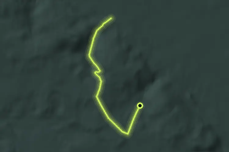
Easy · Trail
5
7.0 km · ↑ 146 m · 1 h 58 min · 9 km away

Easy · Trail
TERRA.track "Streithorst"
3.5 km · ↑ 9 m · 54 min · 9 km away

Easy · Trail
Rundweg Levern - Diekhoffs Busch
2.2 km · ↑ 17 m · 35 min · 9 km away

Medium · Trail
Rundweg Nr 3 (Krebsburger Wald)
8.1 km · ↑ 128 m · 2 h 18 min · 9 km away

Easy · Trail
Rundweg Nr 5
3.5 km · ↑ 90 m · 1 h 5 min · 9 km away

Medium · Trail
TERRA.track "Schnippenburg"
11.8 km · ↑ 237 m · 3 h 27 min · 9 km away

Easy · Trail
Rundweg Levern - Badeallee
3.7 km · ↑ 5 m · 52 min · 10 km away

Easy · Summit
Schwarze Route - Stemweder Berg
2.2 km · ↑ 60 m · 40 min · 10 km away

Easy · Summit
blau gepunktete Route - Stemweder Berg
2.6 km · ↑ 60 m · 47 min · 10 km away

Easy · Trail
Leverner Südhang
3.5 km · ↑ 22 m · 55 min · 10 km away

Easy · Trail
Gelb gestrichelte Route- Stemweder Berg
2.6 km · ↑ 101 m · 52 min · 10 km away

Medium · Trail
Rund um Levern
14.3 km · ↑ 26 m · 3 h 27 min · 10 km away

Easy · Trail
Orange gestrichelte Route - Stemweder Berg
1.3 km · ↑ 35 m · 24 min · 10 km away

Easy · Trail
TERRA.track "Teufelssteine" - VARIANTE
2.4 km · ↑ 24 m · 37 min · 10 km away

Easy · Trail
Lintorf Rundweg 2
2.3 km · ↑ 75 m · 44 min · 11 km away

Easy · Trail
Rundweg Nr 1
3.1 km · ↑ 36 m · 51 min · 11 km away

Medium · Trail
TERRA.track "Teufelssteine"
9.1 km · ↑ 200 m · 2 h 43 min · 11 km away

Easy · Trail
Rundweg Nr 2
7.2 km · ↑ 141 m · 2 h 6 min · 11 km away

Easy · Summit
TERRA.track "Schwarzer Brink"
6.6 km · ↑ 201 m · 2 h 5 min · 11 km away
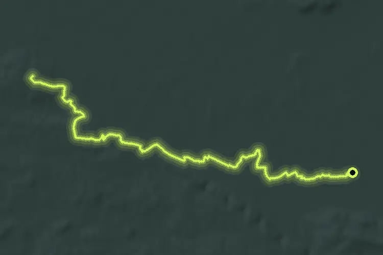
Demanding · Summit
Arminiusweg
69.8 km · ↑ 580 m · 17 h 44 min · 11 km away

Easy · Summit
Blau gestrichelte Route - Stemweder Berg
4.5 km · ↑ 82 m · 1 h 19 min · 11 km away

Easy · Summit
Waldlehrpfad - Stemweder Berg
3.2 km · ↑ 31 m · 53 min · 11 km away