Trails near Schweich
111 hikes starting within 15 km, nearest first.
Nearest first, page 1 of 3

Easy · Trail
Longuich - Weinbergschleife
4.5 km · ↑ 129 m · 1 h 24 min · 1 km away

Easy · Trail
R3
5.0 km · ↑ 159 m · 1 h 31 min · 1 km away

Medium · Trail
Longuich - Große Waldschleife
13.1 km · ↑ 220 m · 3 h 45 min · 1 km away

Medium · Trail
Longuich - Kleine Waldschleife
9.1 km · ↑ 183 m · 2 h 40 min · 2 km away

Medium · Summit
Seitensprung Longuicher Sauerbrunnen
12.6 km · ↑ 216 m · 3 h 37 min · 2 km away

Medium · Summit
Moselsteig Seitensprung Meulenwaldto(u)r Schweich
10.4 km · ↑ 314 m · 3 h 17 min · 3 km away

Medium · Trail
R11
9.5 km · ↑ 153 m · 2 h 43 min · 3 km away

Medium · Summit
Sang-Tour
10.7 km · ↑ 272 m · 3 h 16 min · 3 km away
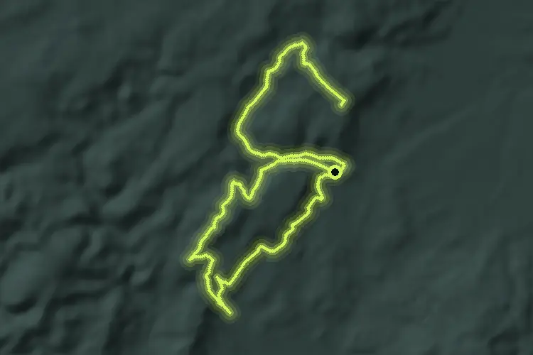
Demanding · Summit
R1
33.6 km · ↑ 812 m · 9 h 41 min · 4 km away

Easy · Summit
Panorama- Weg Fell
4.6 km · ↑ 114 m · 1 h 24 min · 5 km away

Demanding · Trail
Extratour Zitronenkrämerkreuz
20.0 km · ↑ 661 m · 6 h 25 min · 5 km away

Easy · Trail
Mertesdorf 1
6.1 km · ↑ 167 m · 1 h 52 min · 5 km away

Easy · Trail
Mosel Erlebnisroute
2.3 km · ↑ 79 m · 43 min · 6 km away

Expert · Trail
Rioler Klettersteig
1.3 km · ↑ 129 m · 37 min · 6 km away

Demanding · Trail
Ausonius-Wanderweg: 6. Etappe
27.1 km · ↑ 511 m · 7 h 30 min · 6 km away

Medium · Trail
Ruwer-Riesling-Erlebnisweg
8.1 km · ↑ 179 m · 2 h 25 min · 7 km away

Medium · Trail
Rundwanderweg Mehring Sauerborn - Hundsbuckel- Huxlay
9.7 km · ↑ 221 m · 2 h 54 min · 7 km away

Medium · Trail
Mosel.Erlebnis.Route
16.6 km · ↑ 487 m · 4 h 58 min · 7 km away

Expert · Trail
Extra Tour Mehringer Schweiz
13.6 km · ↑ 691 m · 4 h 54 min · 8 km away

Medium · Trail
Zuweg Moselsteig Thörnich über Detzem
8.3 km · ↑ 166 m · 2 h 19 min · 8 km away

Easy · Summit
Trier Wanderweg T1 (Weißhausbrunnen)
5.4 km · ↑ 175 m · 1 h 43 min · 8 km away

Medium · Trail
Waldrach 1
9.8 km · ↑ 191 m · 2 h 43 min · 8 km away

Easy · Trail
Waldrach 2
7.2 km · ↑ 229 m · 2 h 18 min · 8 km away

Medium · Summit
Klüsserather Sagenweg
11.8 km · ↑ 402 m · 3 h 49 min · 8 km away

Medium · Summit
Verbindungsweg XV
9.9 km · ↑ 354 m · 3 h 6 min · 8 km away

Demanding · Trail
RT1
20.2 km · ↑ 743 m · 6 h 23 min · 8 km away
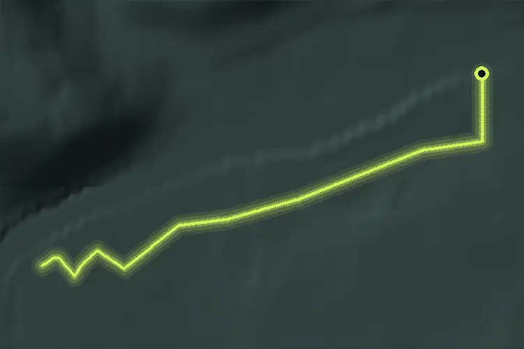
Easy · Trail
R17
2.4 km · ↑ 9 m · 37 min · 8 km away
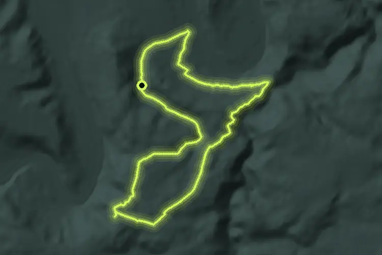
Medium · Trail
R18
15.5 km · ↑ 401 m · 4 h 45 min · 8 km away

Expert · Trail
Römerpfad
9.5 km · ↑ 382 m · 3 h 13 min · 9 km away

Easy · Trail
Zuweg Moselsteig Köwerich
3.8 km · ↑ 76 m · 1 h 3 min · 9 km away
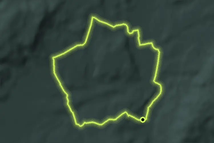
Medium · Trail
Mühlenweg
11.9 km · ↑ 153 m · 3 h 18 min · 9 km away

Easy · Trail
Thomm 1
3.2 km · ↑ 106 m · 1 h · 9 km away

Medium · Trail
Trier Wanderweg T6 (Trier Weißhausbrunnen - Ehrang)
11.4 km · ↑ 443 m · 3 h 39 min · 9 km away

Medium · Summit
Quellenweg
10.9 km · ↑ 302 m · 3 h 23 min · 9 km away

Medium · Summit
Traumschleife Schiefer-Wackenweg
10.9 km · ↑ 418 m · 3 h 38 min · 10 km away

Easy · Trail
Rundwanderweg 11
1.8 km · ↑ 78 m · 35 min · 10 km away

Easy · Summit
W2 Weisshauswald
7.4 km · ↑ 260 m · 2 h 24 min · 10 km away
Easy · Trail
Thomm 2
5.6 km · ↑ 61 m · 1 h 27 min · 10 km away

Easy · Trail
Leiwener Naturforscherpfad
5.9 km · ↑ 94 m · 1 h 36 min · 10 km away

Easy · Trail
W1 Falsches Biewertal
3.2 km · ↑ 112 m · 1 h 3 min · 10 km away

Easy · Trail
Landal - Panoramabad
3.0 km · ↑ 79 m · 53 min · 10 km away

Medium · Summit
Trierer Galgenkopftour
15.9 km · ↑ 424 m · 4 h 53 min · 10 km away

Easy · Trail
Waldlehrpfad im Stadtwald Trier
2.6 km · ↑ 74 m · 49 min · 10 km away

Medium · Trail
Trier Wanderweg T5 (Trier Weißhausbrunnen - Ehrang)
13.3 km · ↑ 421 m · 4 h 3 min · 10 km away

Medium · Summit
W3 Moselblick
8.3 km · ↑ 371 m · 2 h 53 min · 10 km away

Medium · Trail
Lorscheid 2
8.2 km · ↑ 203 m · 2 h 30 min · 11 km away

Easy · Summit
Trier Wanderweg T2 (Euren Helenenbrunnen - Napoleonsbrücke B51)
4.7 km · ↑ 185 m · 1 h 31 min · 11 km away

Medium · Trail
Trier Wanderweg T9
8.2 km · ↑ 186 m · 2 h 27 min · 11 km away