Trails near Todtnau
517 hikes starting within 15 km, nearest first.
Nearest first, page 10 of 11
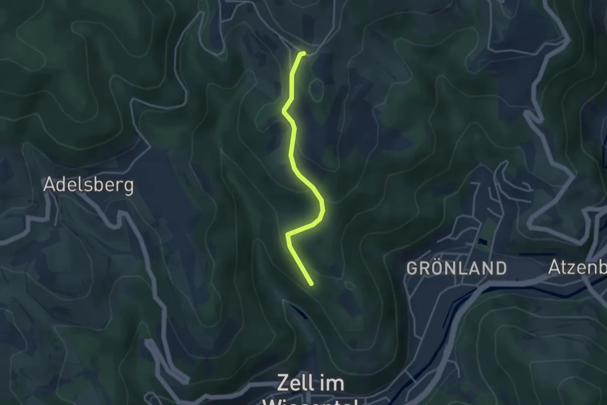
Easy · Trail
Kalter Bühl - St. Bernhardshütte
2.9 km · ↑ 164 m · 1 h 2 min · 14 km away
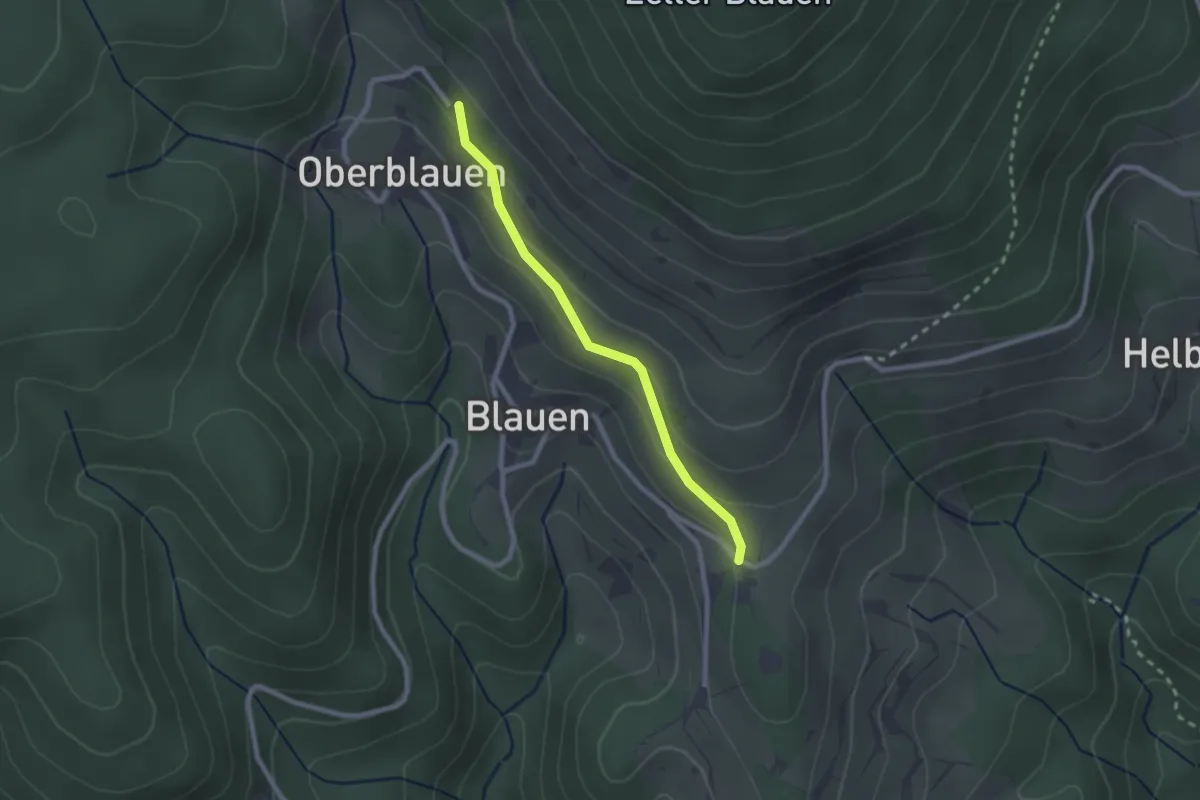
Easy · Trail
Blauen Waldparkplatz - St. Bernhardshütte
2.1 km · ↑ 99 m · 42 min · 14 km away
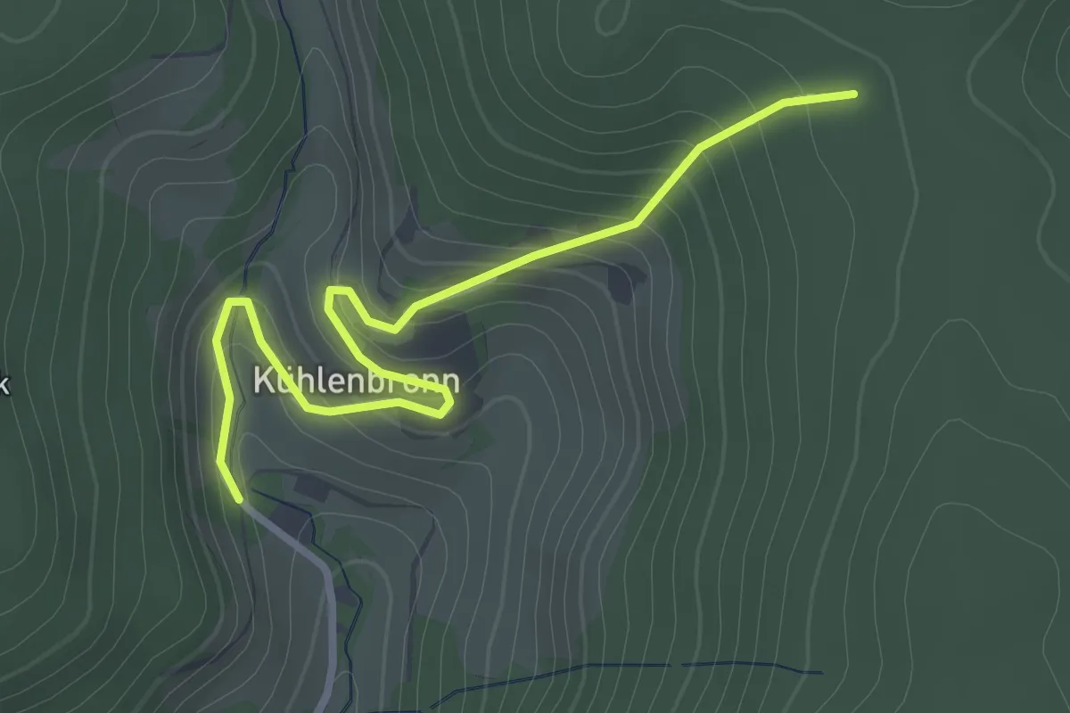
Easy · Trail
Altes Forsthaus - Schattannrundweg
3.0 km · ↑ 202 m · 1 h 8 min · 14 km away
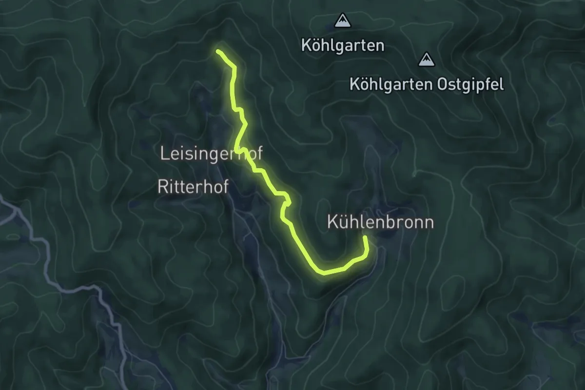
Easy · Trail
Sägengrund - Altes Forsthaus
6.2 km · ↑ 317 m · 2 h 10 min · 14 km away
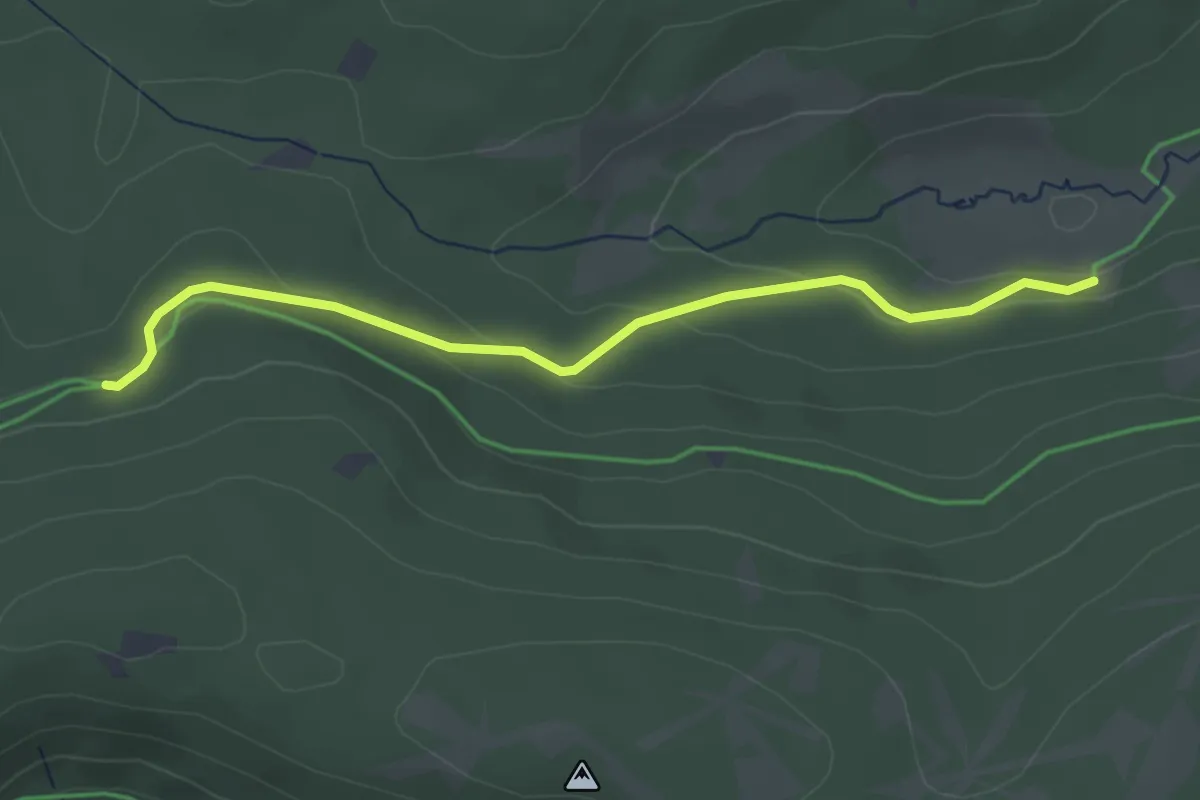
Easy · Trail
Oberkrummen - Roßhüttenweg
3.4 km · ↑ 113 m · 1 h 2 min · 14 km away
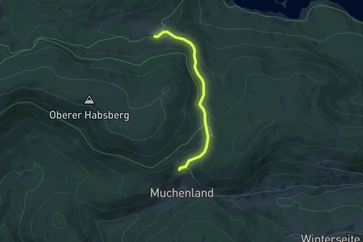
Easy · Trail
Muchenländer Brunnen - Oberkrummen
4.5 km · ↑ 148 m · 1 h 23 min · 14 km away
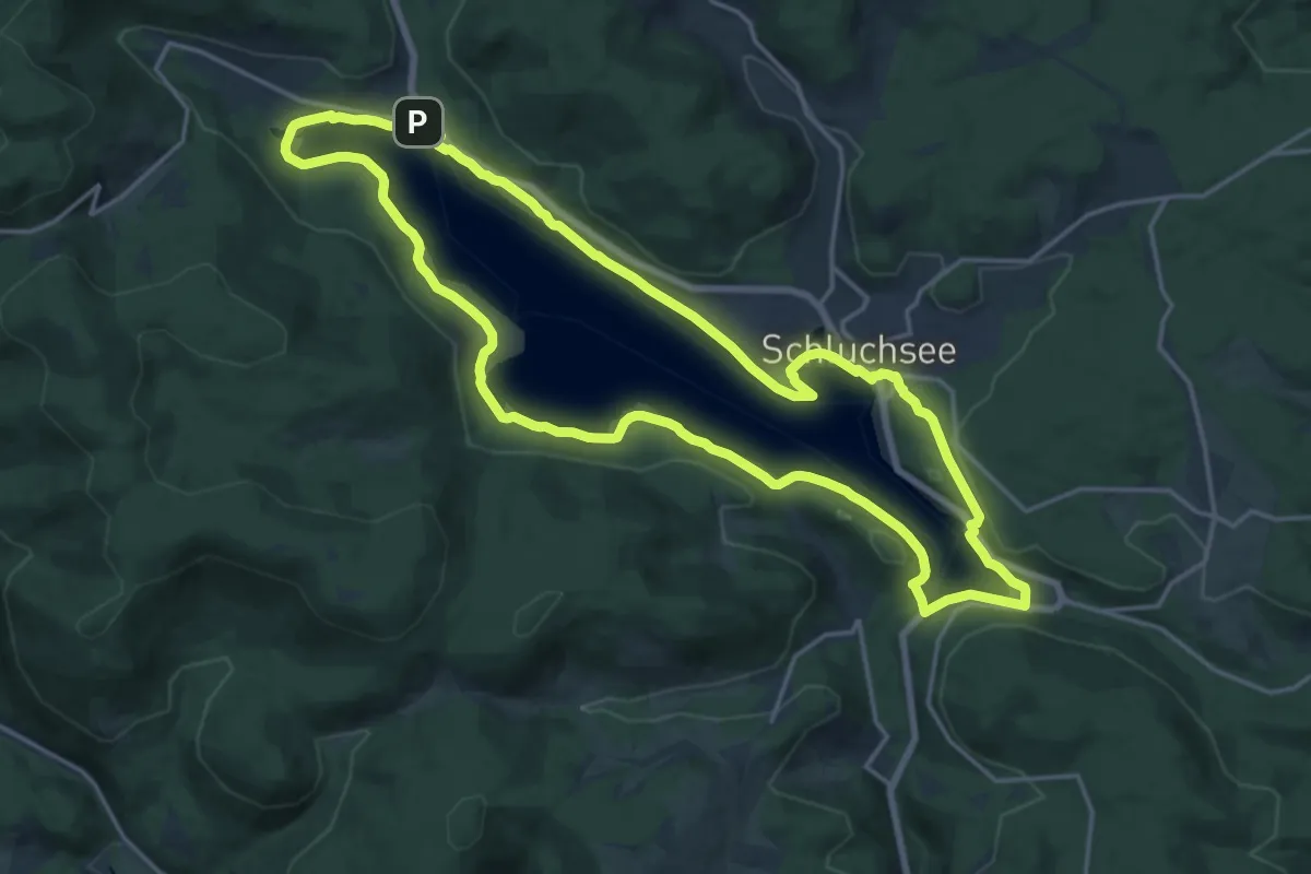
Medium · Trail
Seerundweg
17.6 km · ↑ 276 m · 5 h · 14 km away
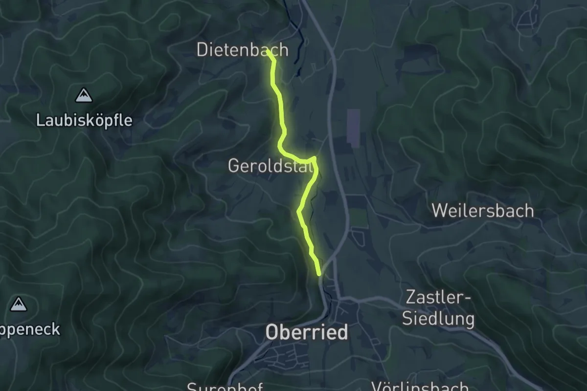
Easy · Trail
Dietenbach Jungbauernhof - Schlößle
4.5 km · ↑ 83 m · 1 h 15 min · 14 km away
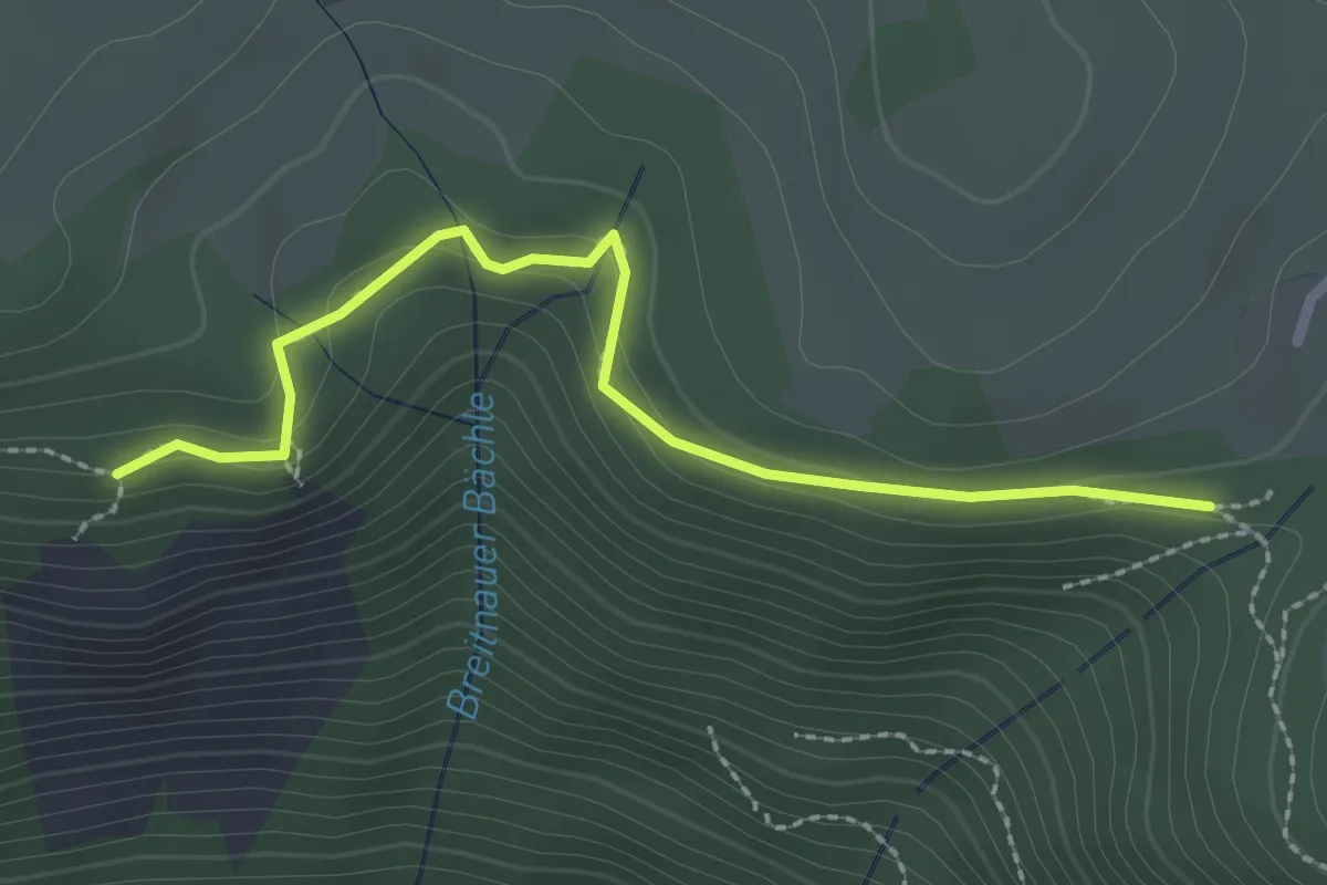
Medium · Trail
Posthaldefelsen - Am Neuhof
2.4 km · ↑ 94 m · 47 min · 14 km away
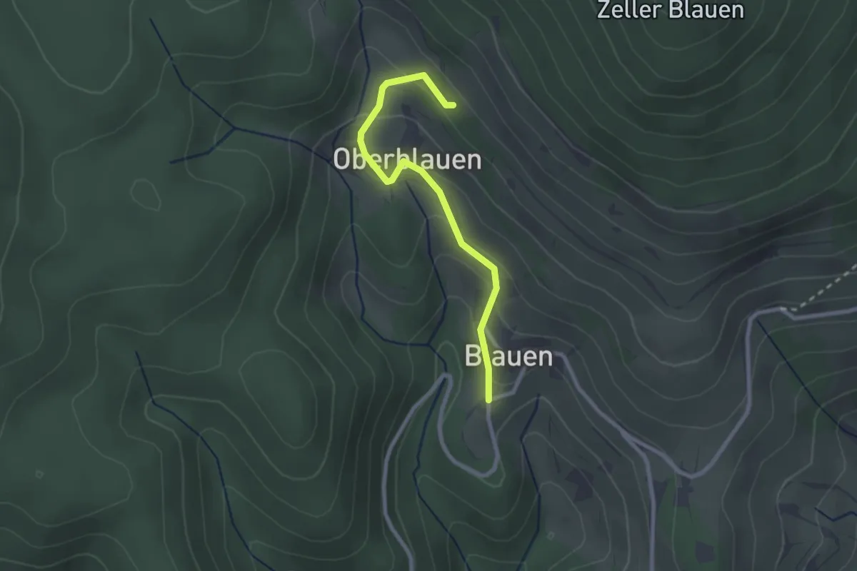
Easy · Trail
Blauen Waldparkplatz - Blauen
2.3 km · ↑ 149 m · 52 min · 14 km away
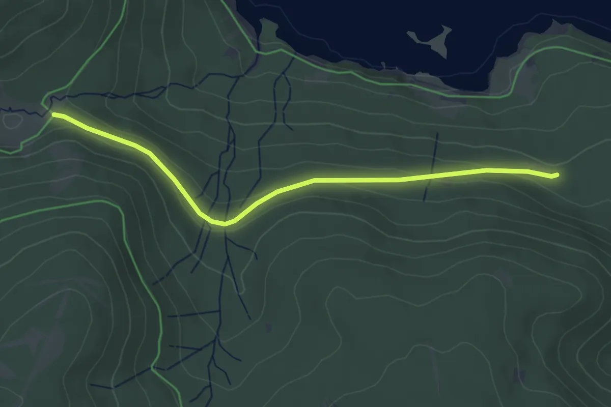
Easy · Trail
Ehemalige Krummensäge - Kohlhütte
4.1 km · ↑ 99 m · 1 h 11 min · 14 km away
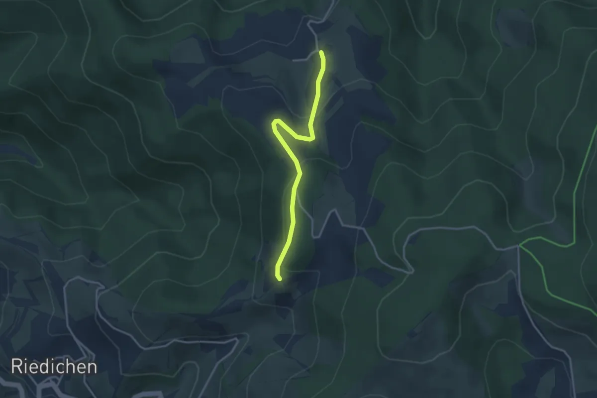
Easy · Trail
Holzschlag - Rohrberg
2.8 km · ↑ 108 m · 54 min · 14 km away
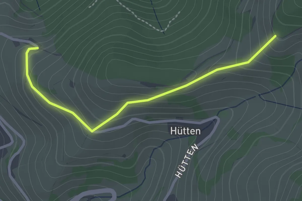
Easy · Trail
Riedichen Bödemle - Holzschlag
2.3 km · ↑ 146 m · 52 min · 14 km away
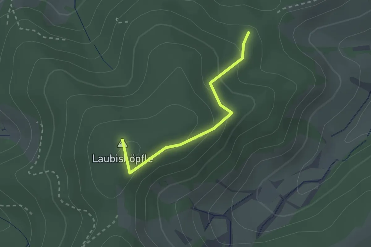
Medium · Summit
Molzenwald - Pfisterhöhe
2.0 km · ↑ 132 m · 45 min · 14 km away
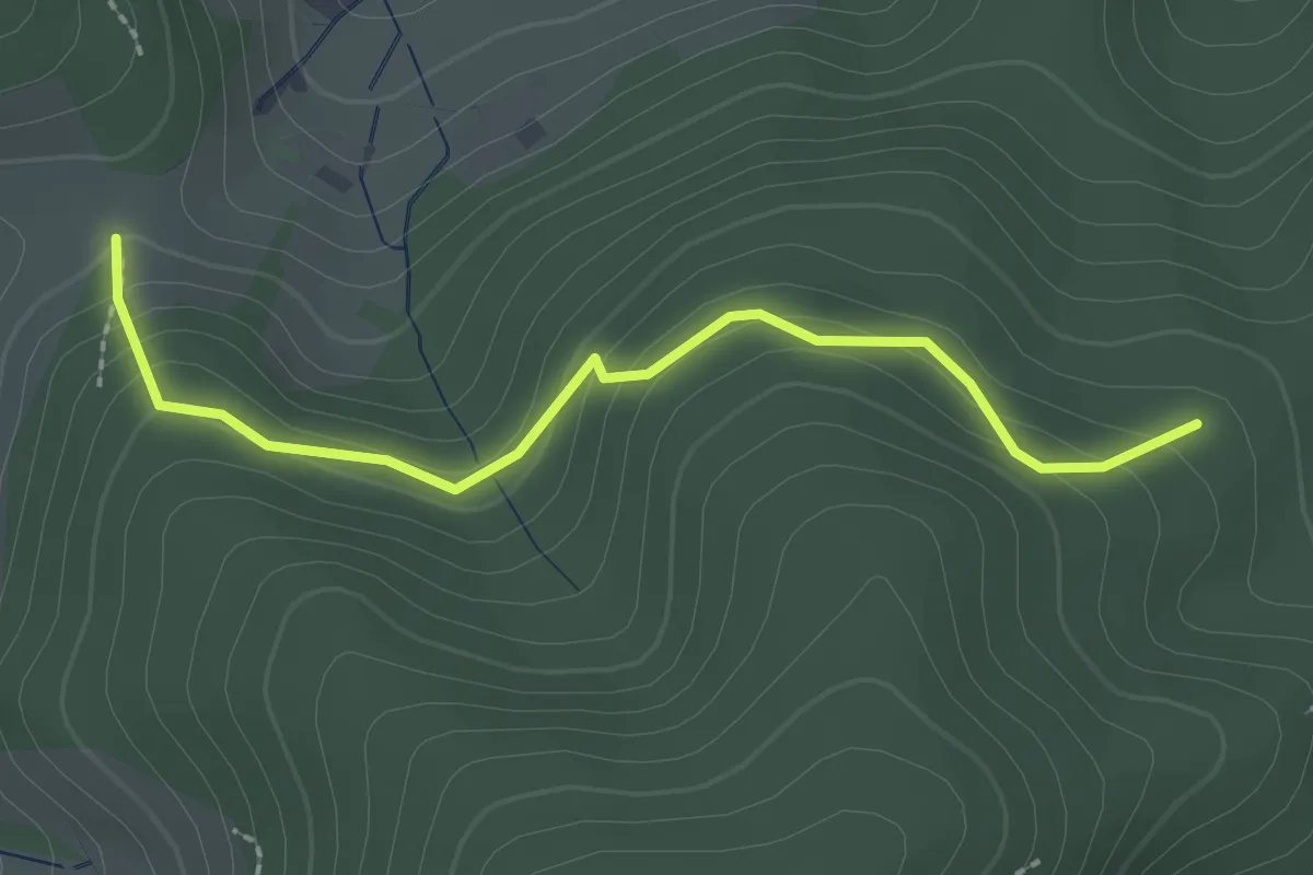
Easy · Trail
Herchersattel - Pfisterhöhe
2.3 km · ↑ 121 m · 48 min · 14 km away
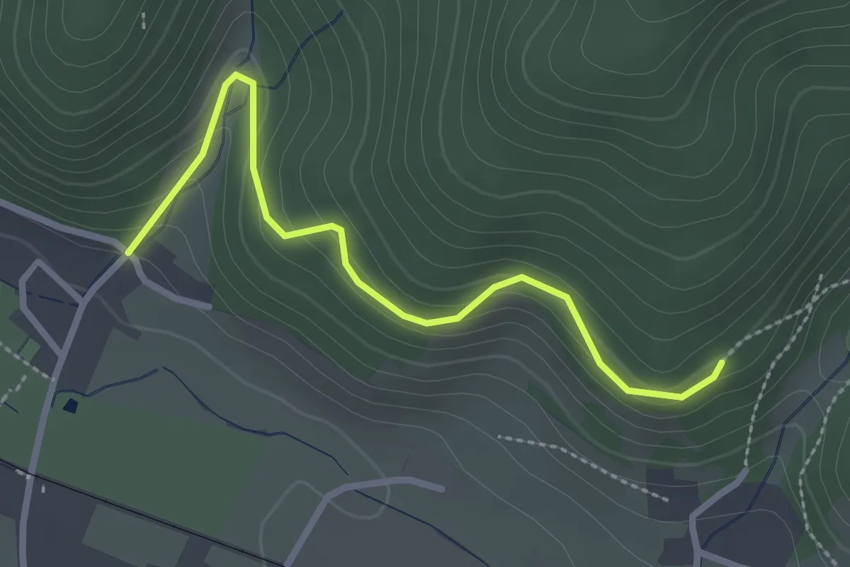
Easy · Trail
Am Riggenbachgang - Dietzelbach
2.6 km · ↑ 146 m · 55 min · 14 km away
Easy · Trail
Windgfällweiher Seerundweg
2.1 km · ↑ 48 m · 37 min · 14 km away
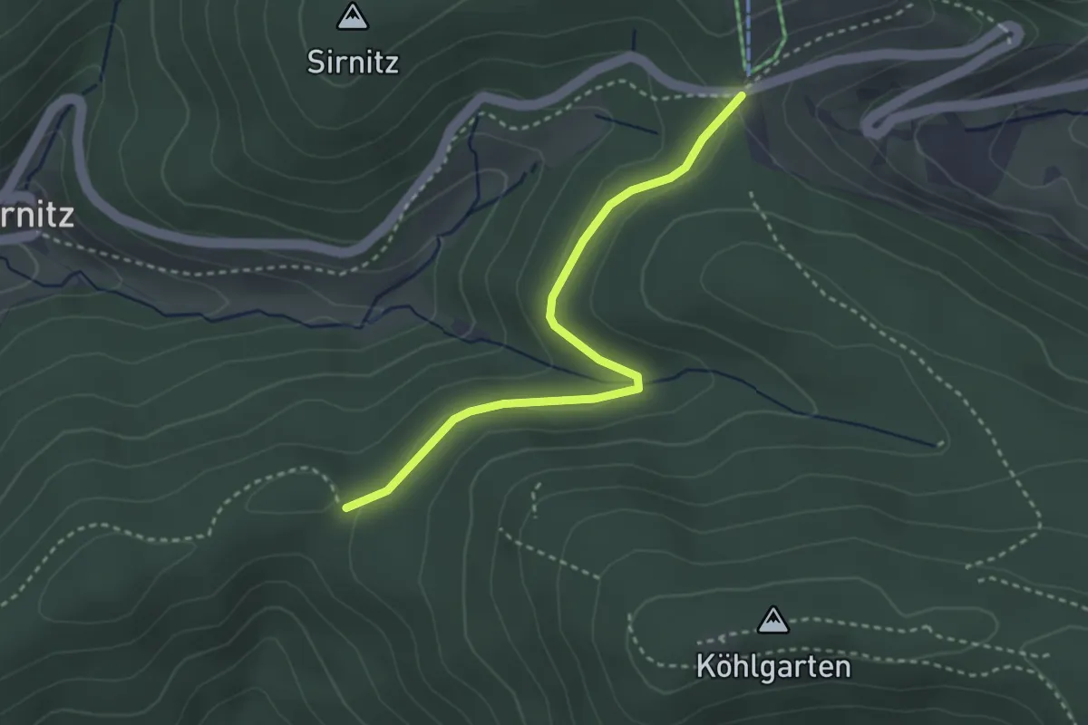
Easy · Trail
Kreuzweg - Spähnplatz
3.0 km · ↑ 79 m · 53 min · 14 km away
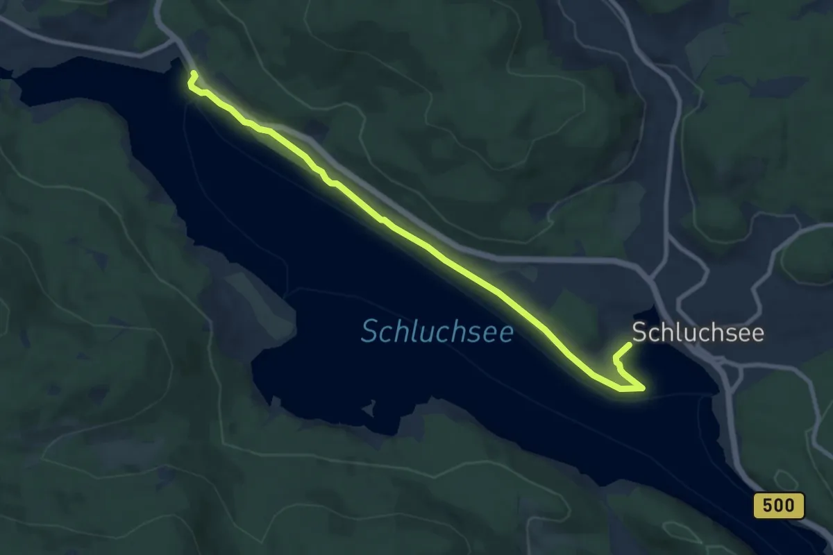
Medium · Trail
Aha Auerhahn - Am Seeweg
8.4 km · ↑ 70 m · 2 h 9 min · 14 km away
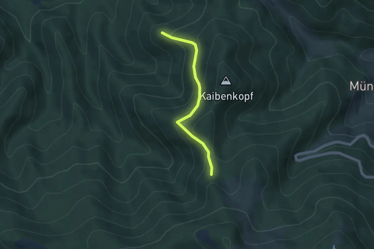
Easy · Trail
Behaghelfels - Heitersheimer Rank
3.1 km · ↑ 206 m · 1 h 11 min · 14 km away
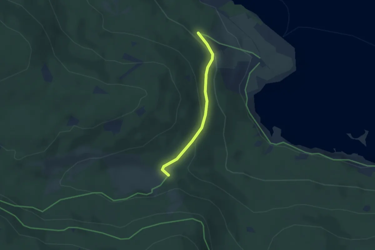
Easy · Trail
Ehemalige Krummensäge - Kirschbaumweg
2.4 km · ↑ 81 m · 45 min · 14 km away
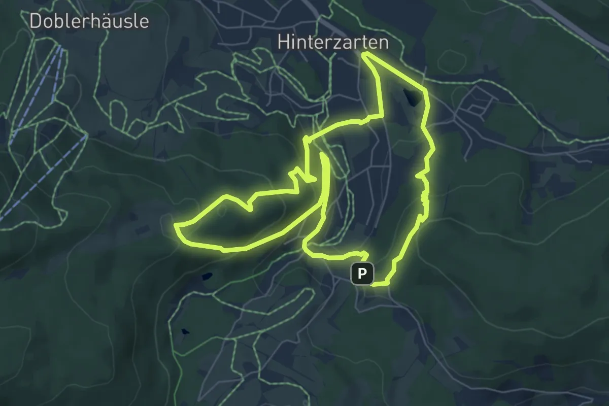
Easy · Summit
Kesslerhöhenweg
6.3 km · ↑ 290 m · 2 h 12 min · 14 km away
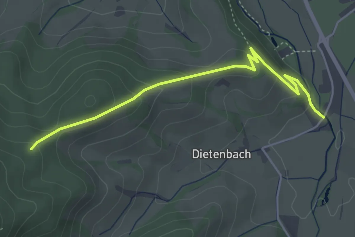
Medium · Trail
Pfisterhöhe - Rössle
4.0 km · ↑ 193 m · 1 h 21 min · 14 km away
Easy · Trail
Über der Posthalde - Am Piketfelsen
2.3 km · ↑ 64 m · 41 min · 14 km away
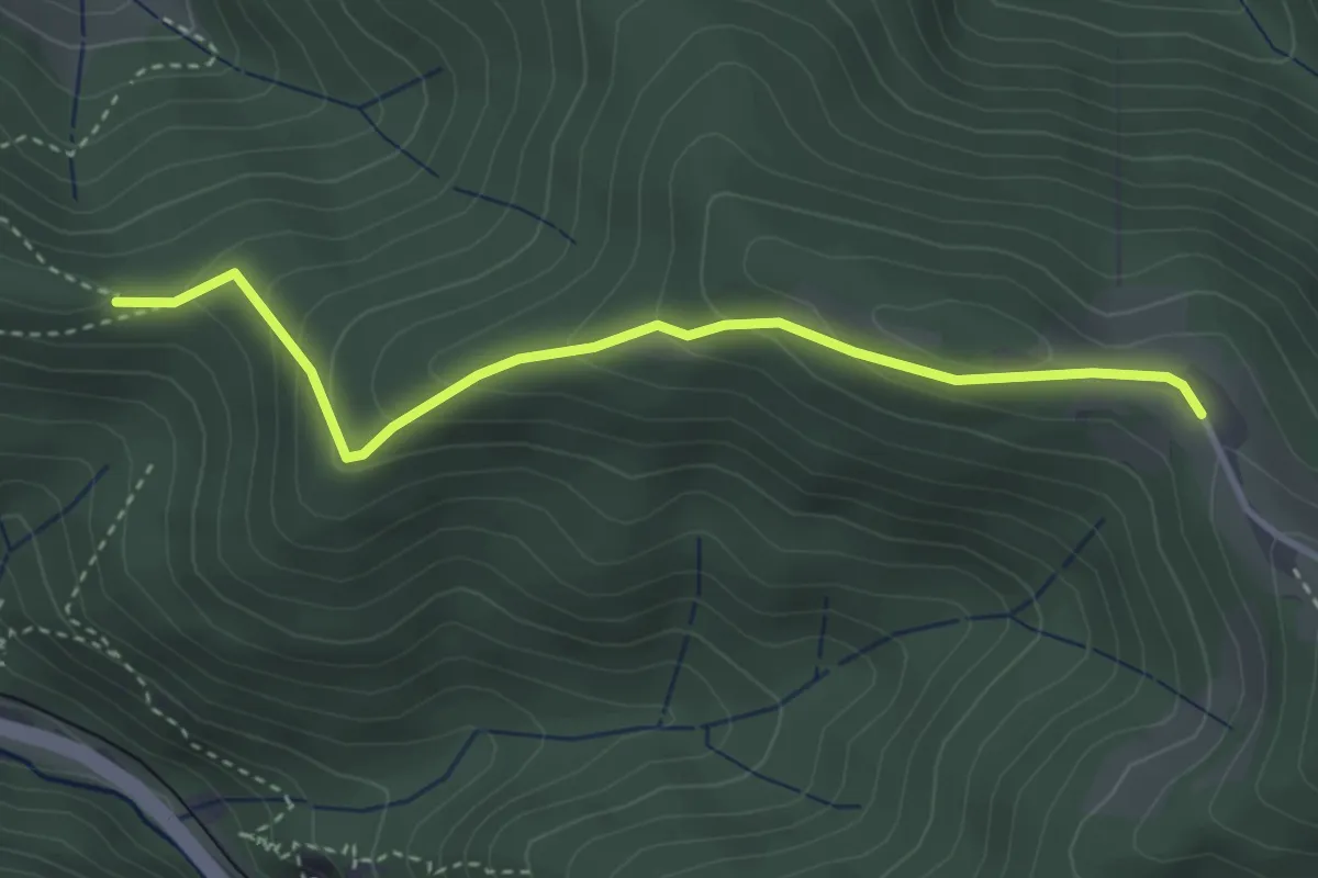
Easy · Trail
Pfaffeneck - Nessellachen Rösslehof
3.4 km · ↑ 202 m · 1 h 14 min · 14 km away
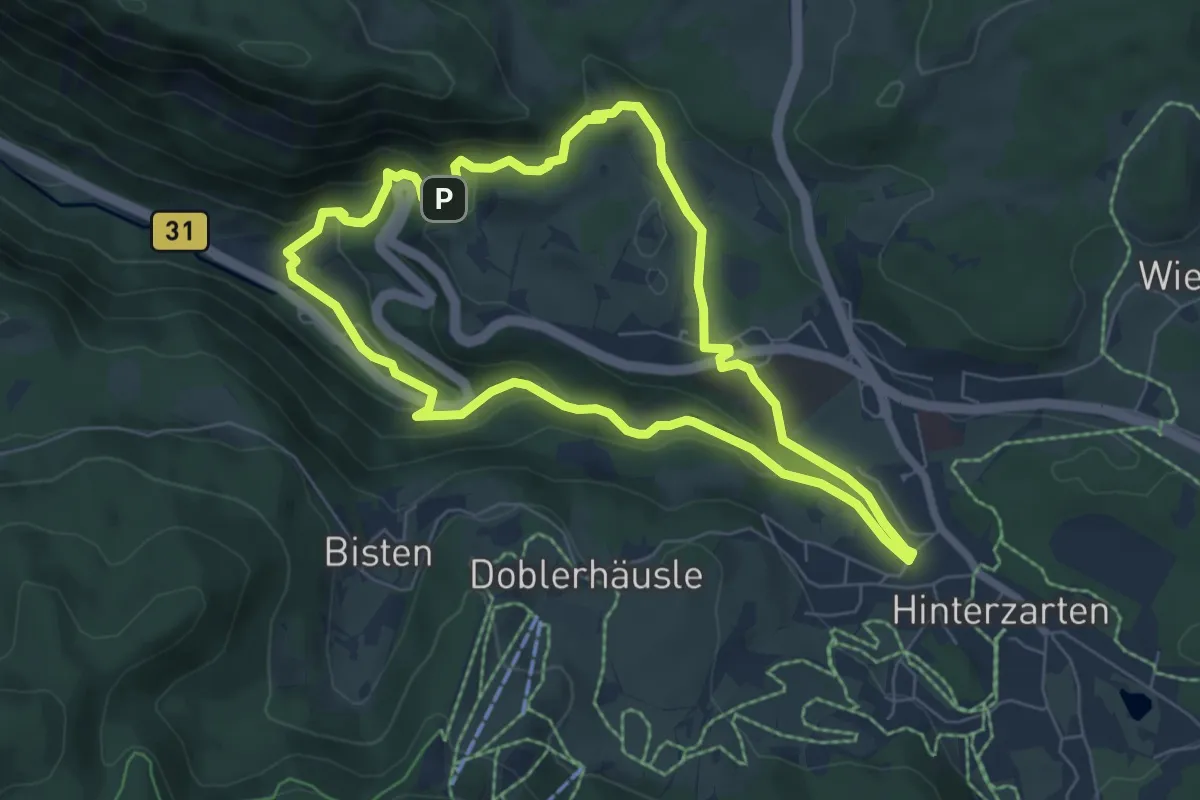
Medium · Trail
Höllsteig
6.2 km · ↑ 199 m · 1 h 59 min · 14 km away
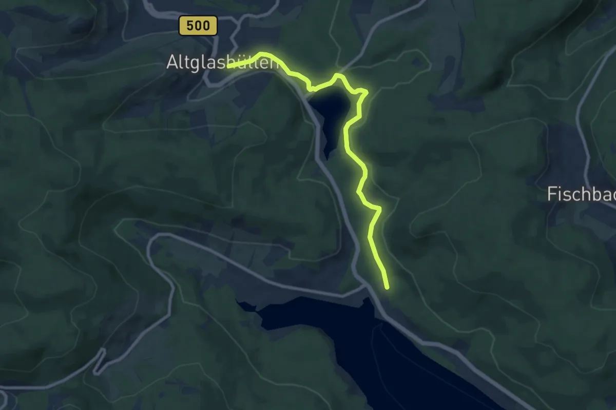
Easy · Trail
Aha - Altglashütten
7.9 km · ↑ 273 m · 2 h 28 min · 14 km away
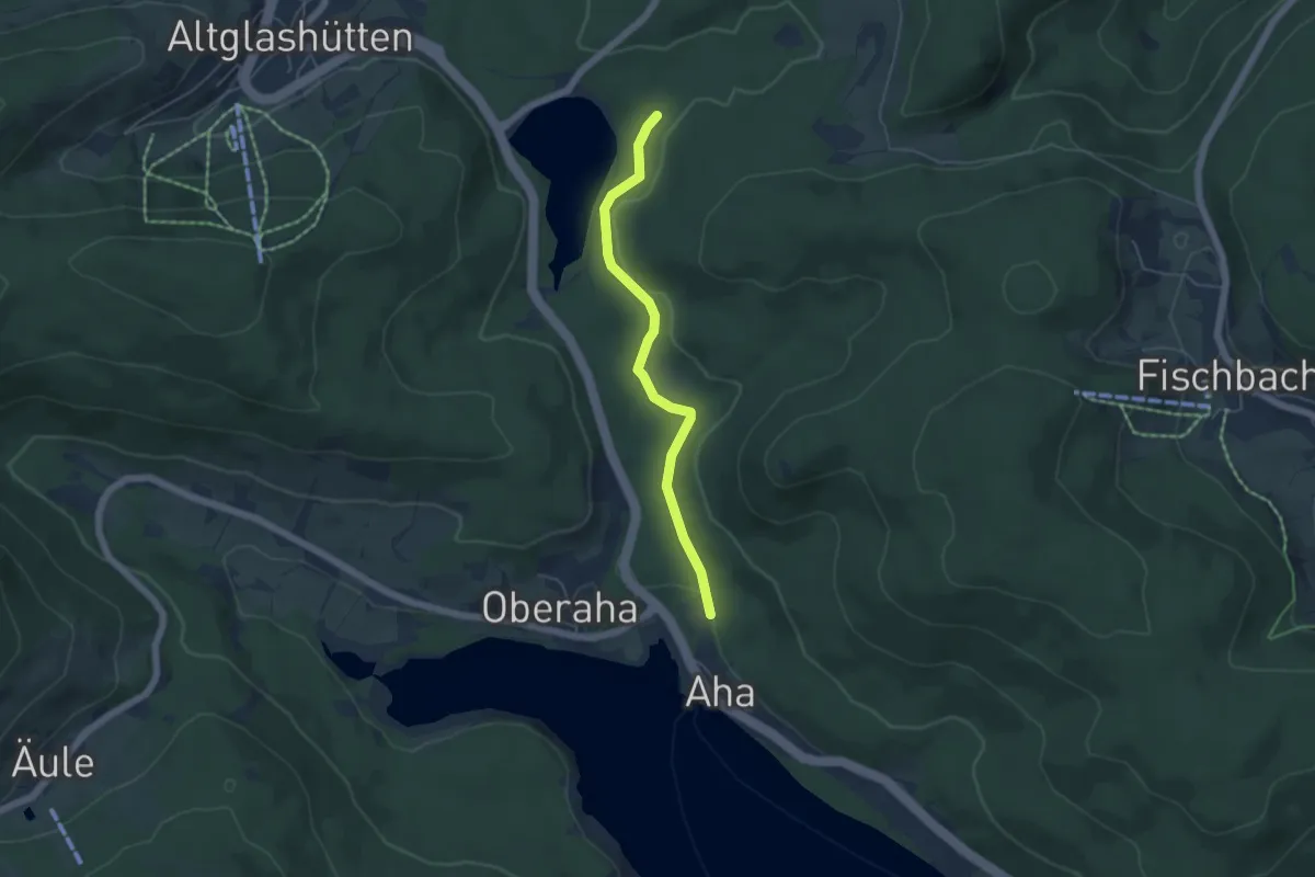
Easy · Trail
Kähnermoos - Unterer Bildsteinweg
4.5 km · ↑ 167 m · 1 h 26 min · 14 km away
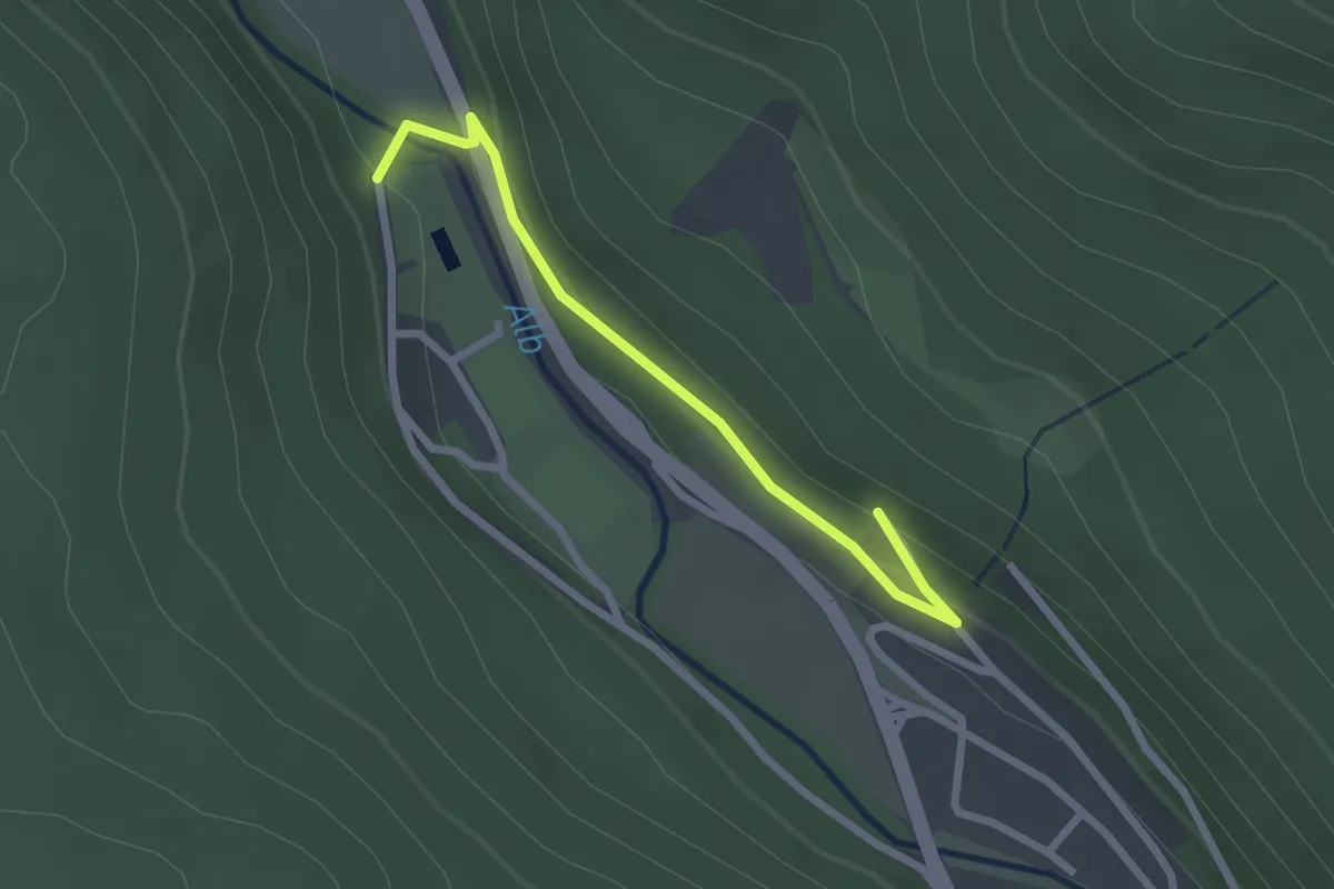
Easy · Trail
Hans-Thoma-Weg - St. Blasien Ehem. Schwimmbad
2.4 km · ↑ 45 m · 39 min · 14 km away
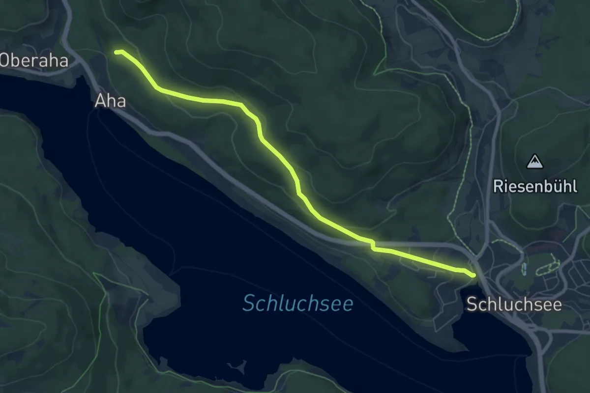
Easy · Trail
Bildsteinweg - Schluchsee Parkplatz Wolfsgrund
7.3 km · ↑ 192 m · 2 h 8 min · 14 km away
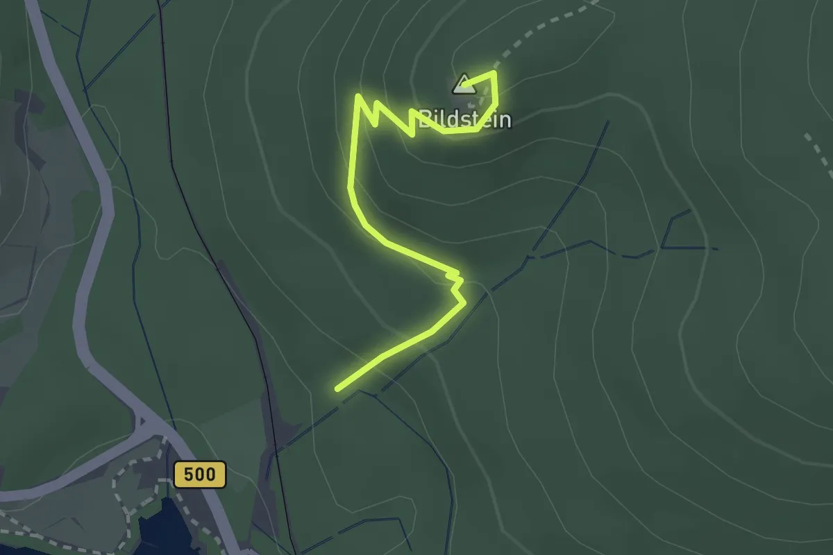
Easy · Summit
Am Bildstein - Bildsteinweg
2.4 km · ↑ 148 m · 53 min · 14 km away
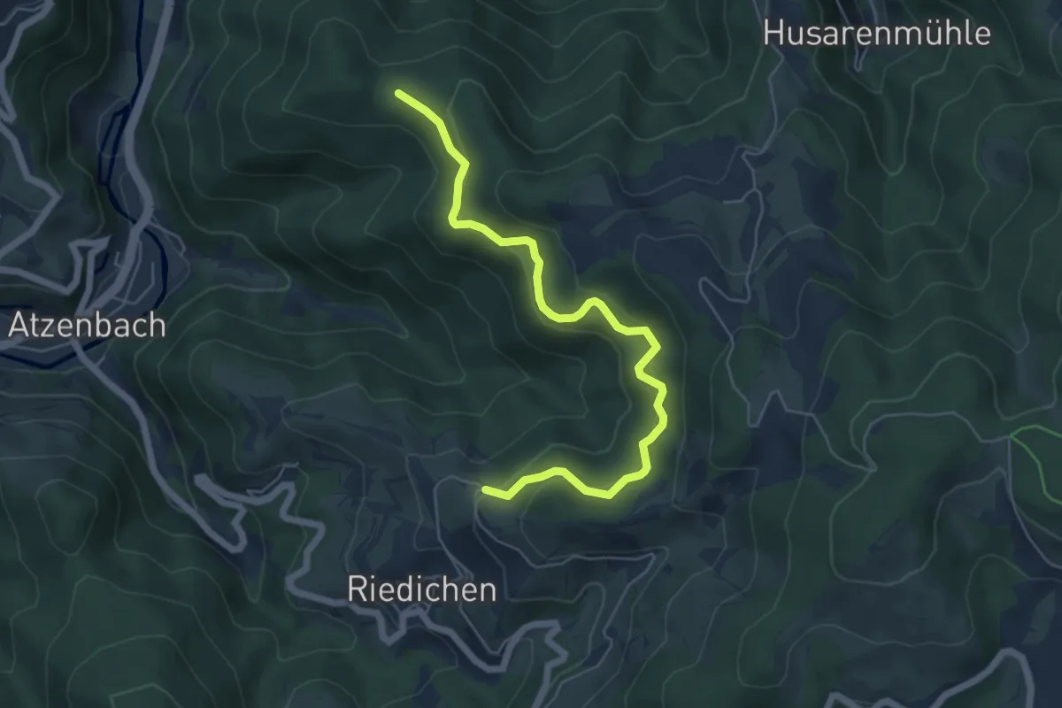
Medium · Trail
Wegscheidekopf - Riedichen Bödemle
5.9 km · ↑ 379 m · 2 h 13 min · 14 km away
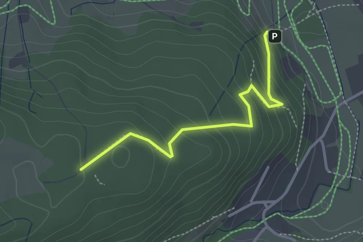
Easy · Trail
Herchenwald - Wolfsgrund
2.5 km · ↑ 163 m · 56 min · 14 km away
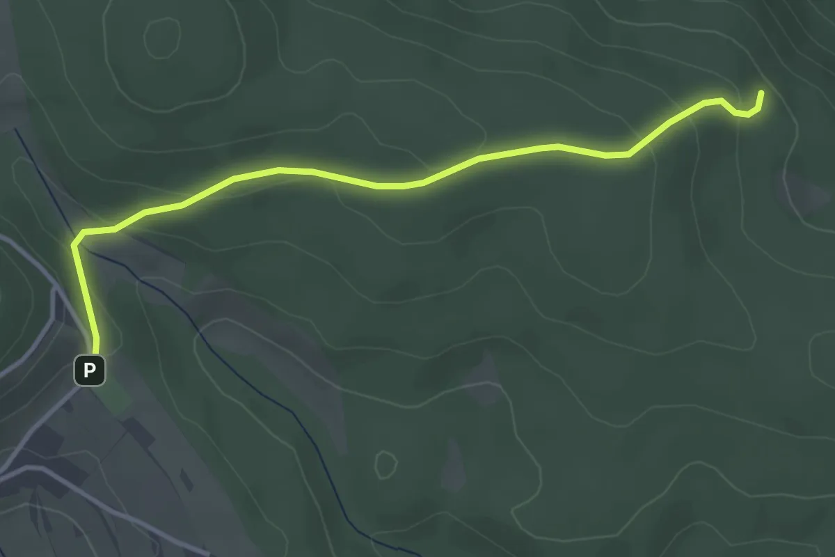
Easy · Trail
Rausbach - Fetzenberg
3.6 km · ↑ 130 m · 1 h 8 min · 14 km away
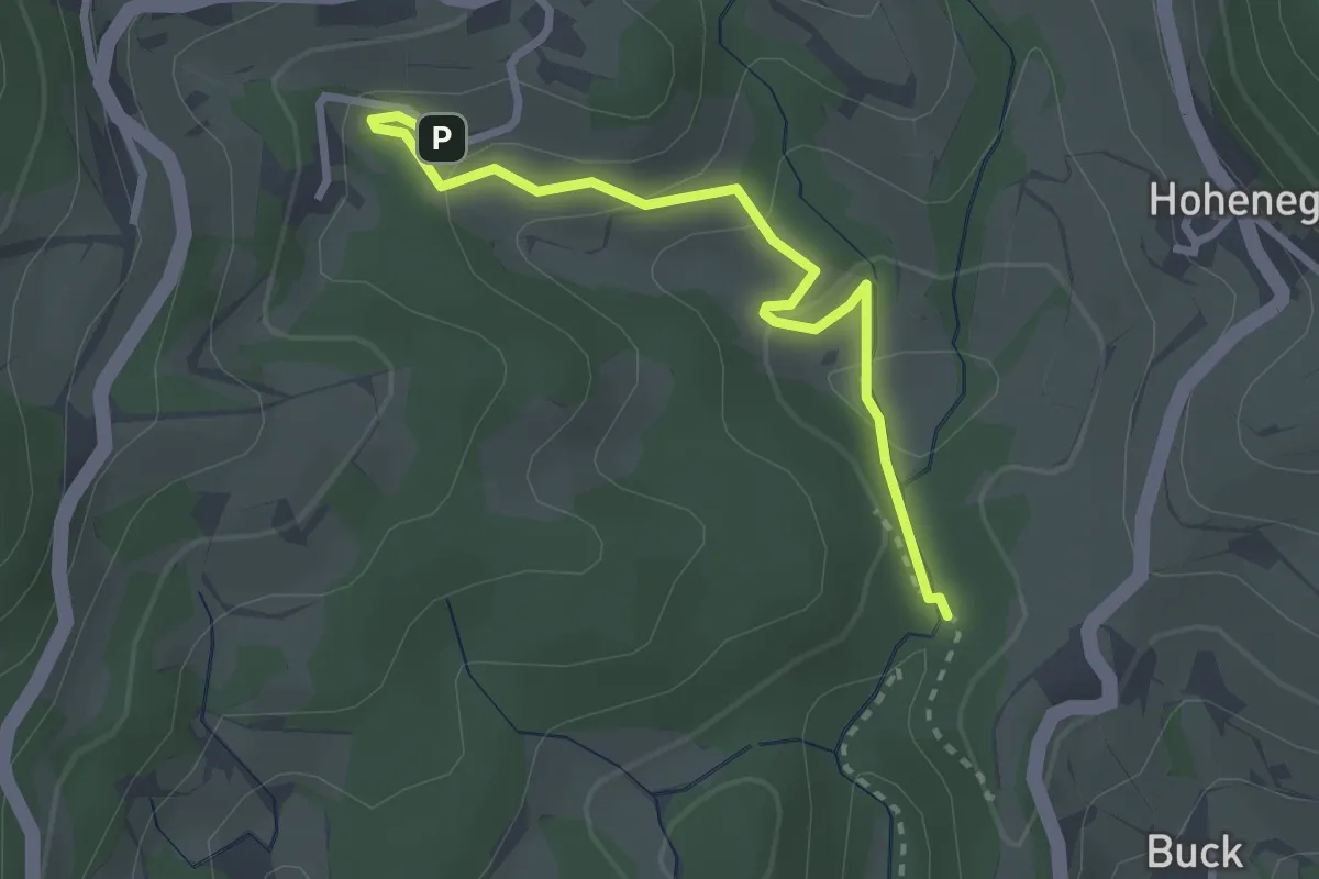
Easy · Trail
Schießhalde - Lochhäuser
2.7 km · ↑ 120 m · 54 min · 14 km away
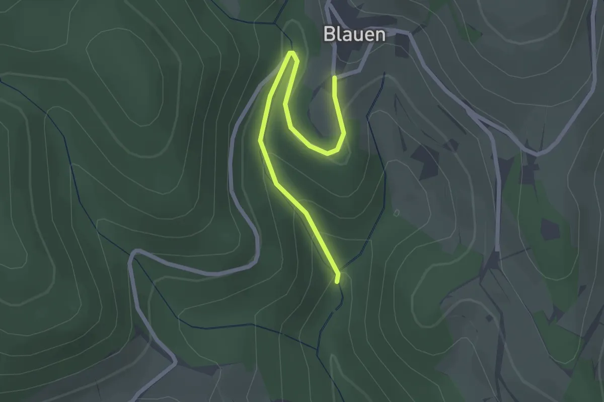
Easy · Trail
Kühlloch-Wildeck - Blauen
2.1 km · ↑ 96 m · 43 min · 14 km away
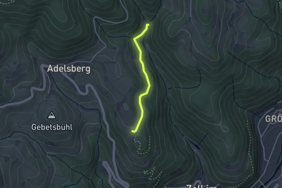
Easy · Trail
Kühlloch-Wildeck - Schänzle
2.2 km · ↑ 58 m · 39 min · 14 km away
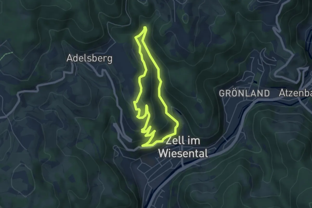
Easy · Trail
Alemannenweg
4.5 km · ↑ 218 m · 1 h 36 min · 14 km away
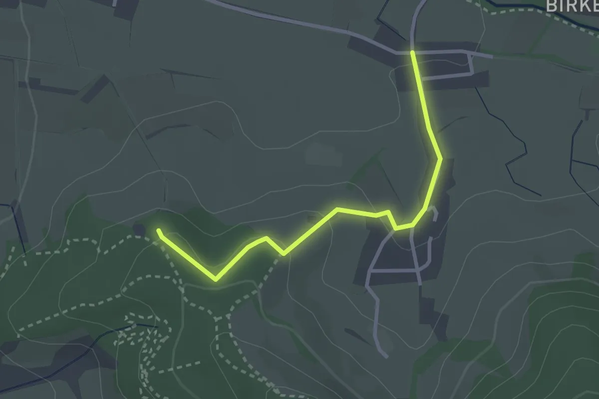
Easy · Trail
Giersberg Parkplatz - Höfen
2.6 km · ↑ 94 m · 49 min · 14 km away
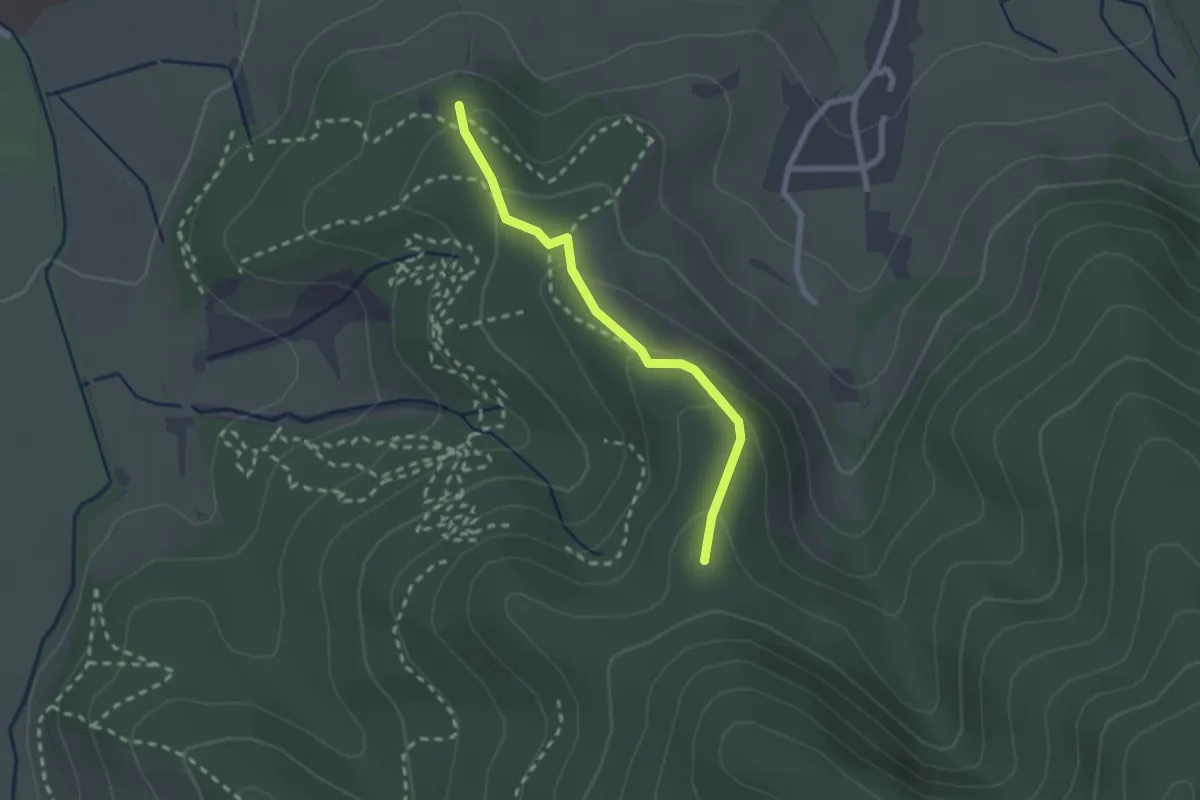
Easy · Trail
Am Sonneck - Giersberg Parkplatz
2.0 km · ↑ 116 m · 44 min · 14 km away
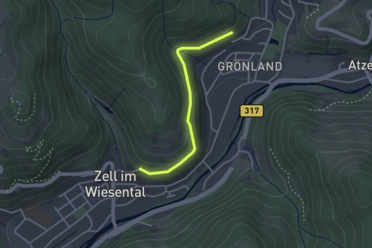
Easy · Trail
Zell im Wiesental Wasserreservoir - Eichwald
2.5 km · ↑ 118 m · 51 min · 14 km away
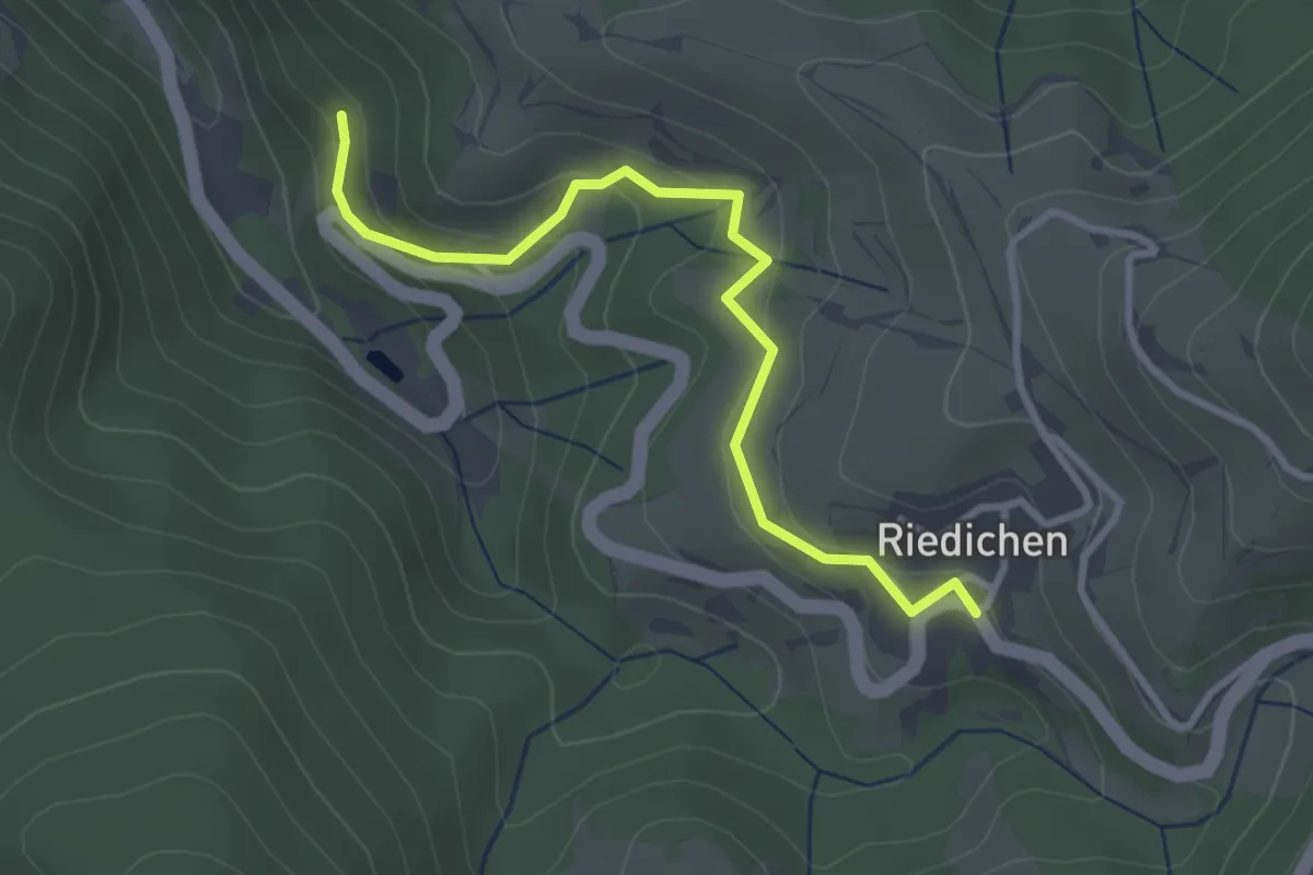
Easy · Trail
Grüneck - Riedichen
3.1 km · ↑ 149 m · 1 h 3 min · 14 km away
Easy · Trail
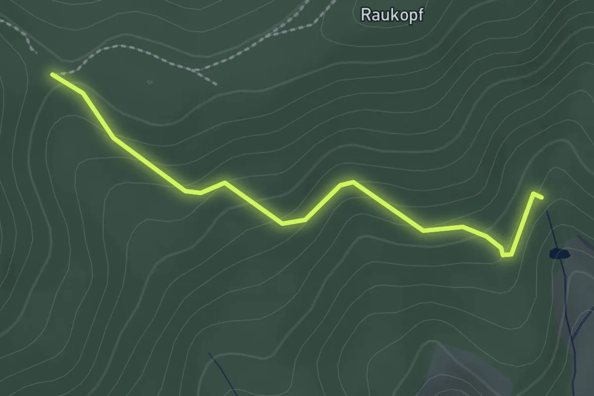
Stühle - Sägengrund
2.2 km · ↑ 118 m · 47 min · 14 km away
Easy · Trail
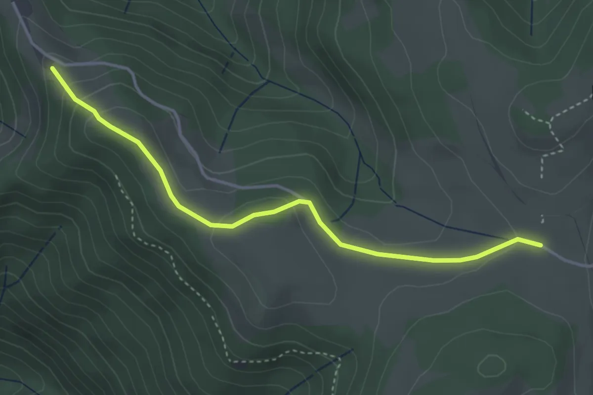
Bei Nessellachen - Windrad
3.7 km · ↑ 115 m · 1 h 7 min · 14 km away
Easy · Trail
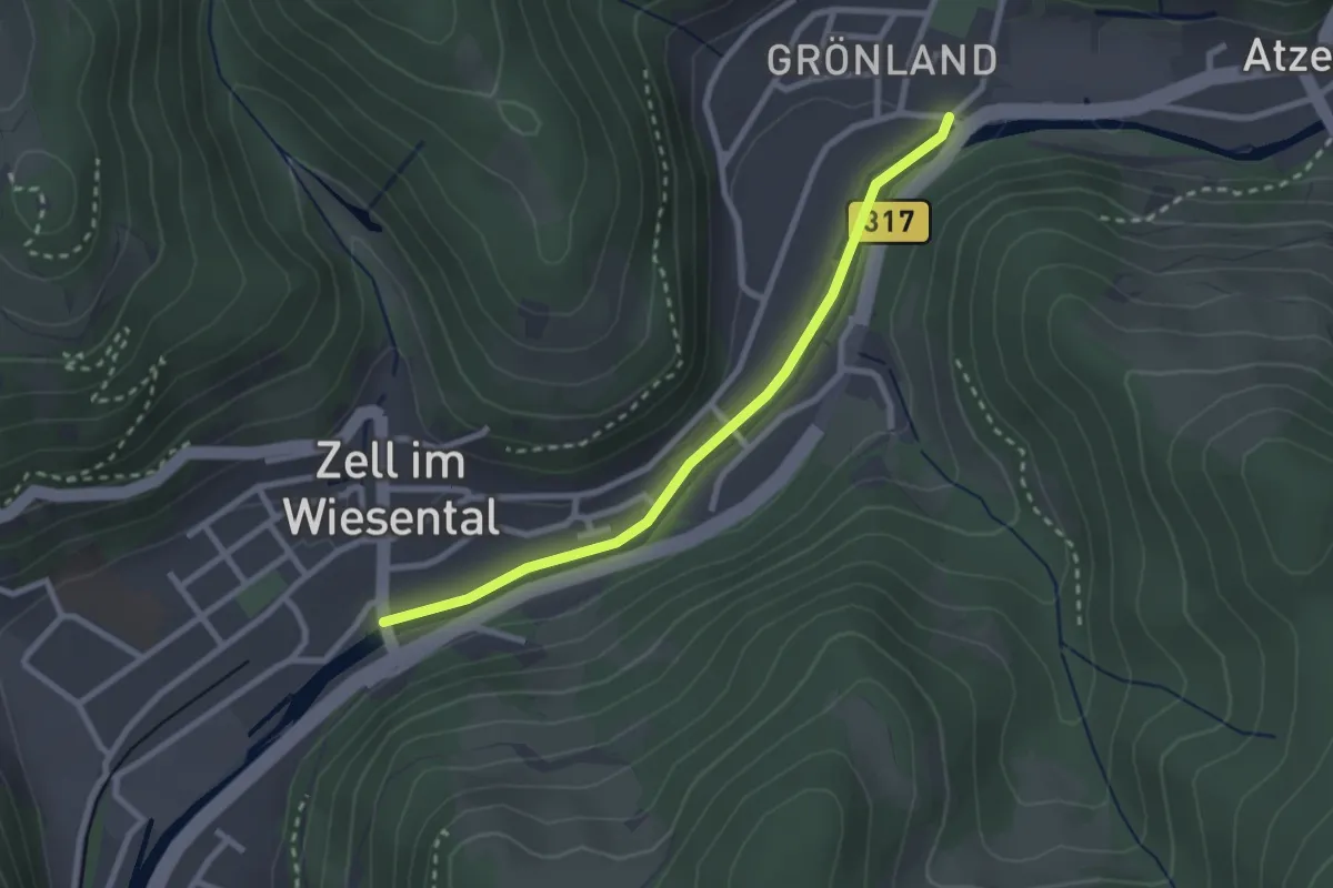
Zell im Wiesental Grönland - Zell im Wiesental Wiesebrücke
2.5 km · ↑ 18 m · 37 min · 14 km away
Easy · Trail
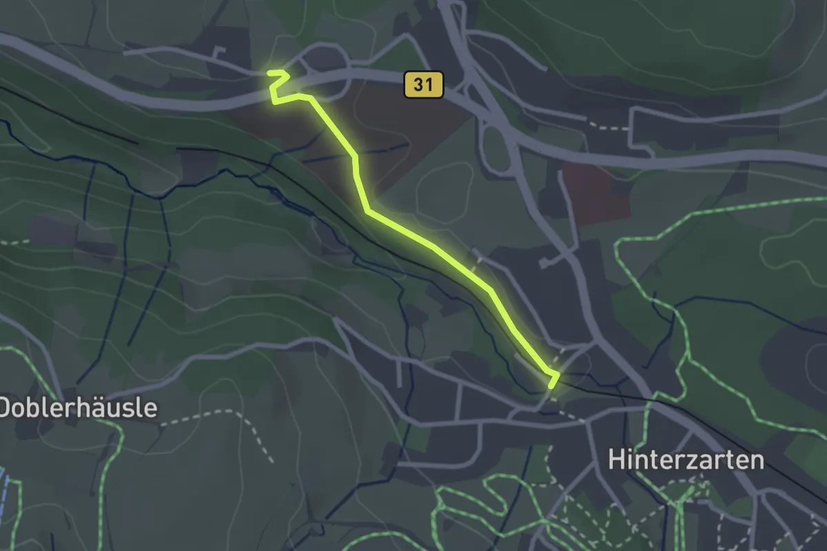
Birklehof - Eingang Löffeltal
2.1 km · ↑ 18 m · 32 min · 14 km away
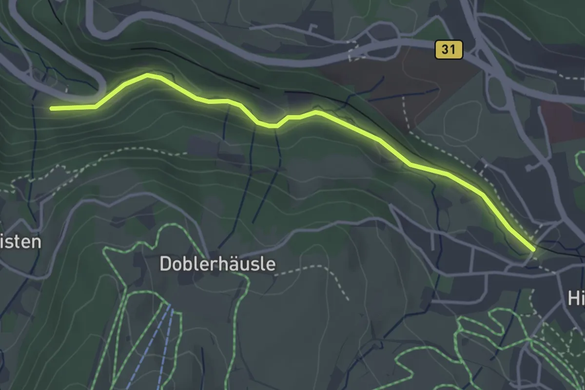
Easy · Trail
Eingang Löffeltal - Unterführung B31
3.6 km · ↑ 125 m · 1 h 8 min · 14 km away
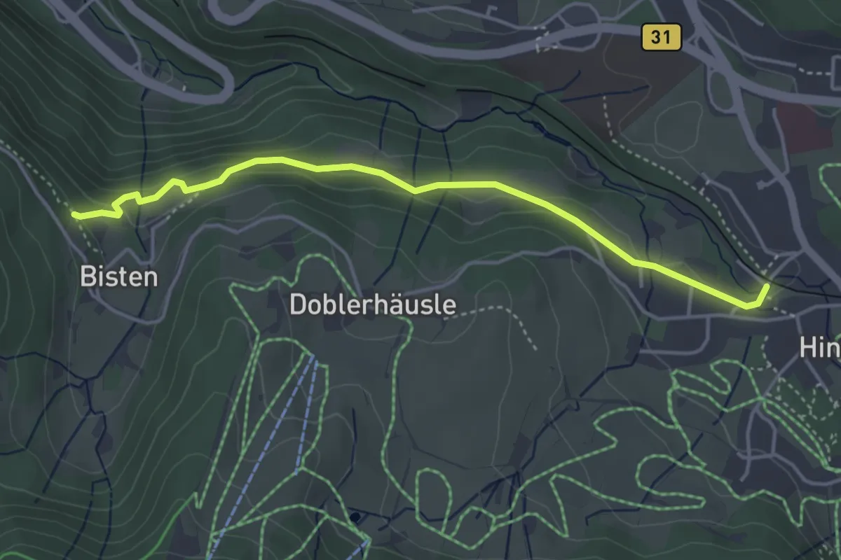
Medium · Trail
Bisten - Eingang Löffeltal
4.1 km · ↑ 89 m · 1 h 10 min · 14 km away