Trails near Weil am Rhein
283 hikes starting within 15 km, nearest first.
Nearest first, page 6 of 6
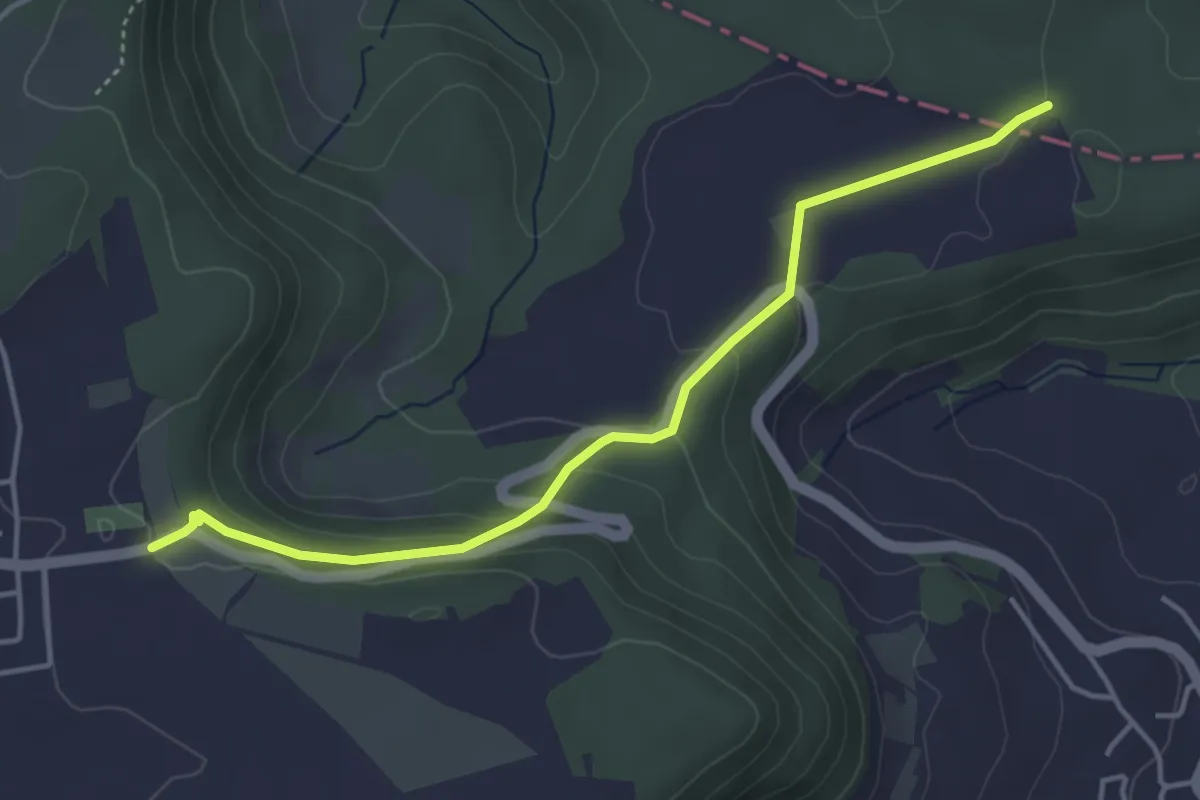
Easy · Trail
Haglenfeld – Muni
4.2 km · ↑ 137 m · 1 h 17 min · 14 km away
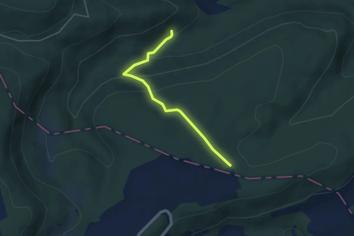
Easy · Trail
Muni – Röserental
3.2 km · ↑ 160 m · 1 h 6 min · 14 km away
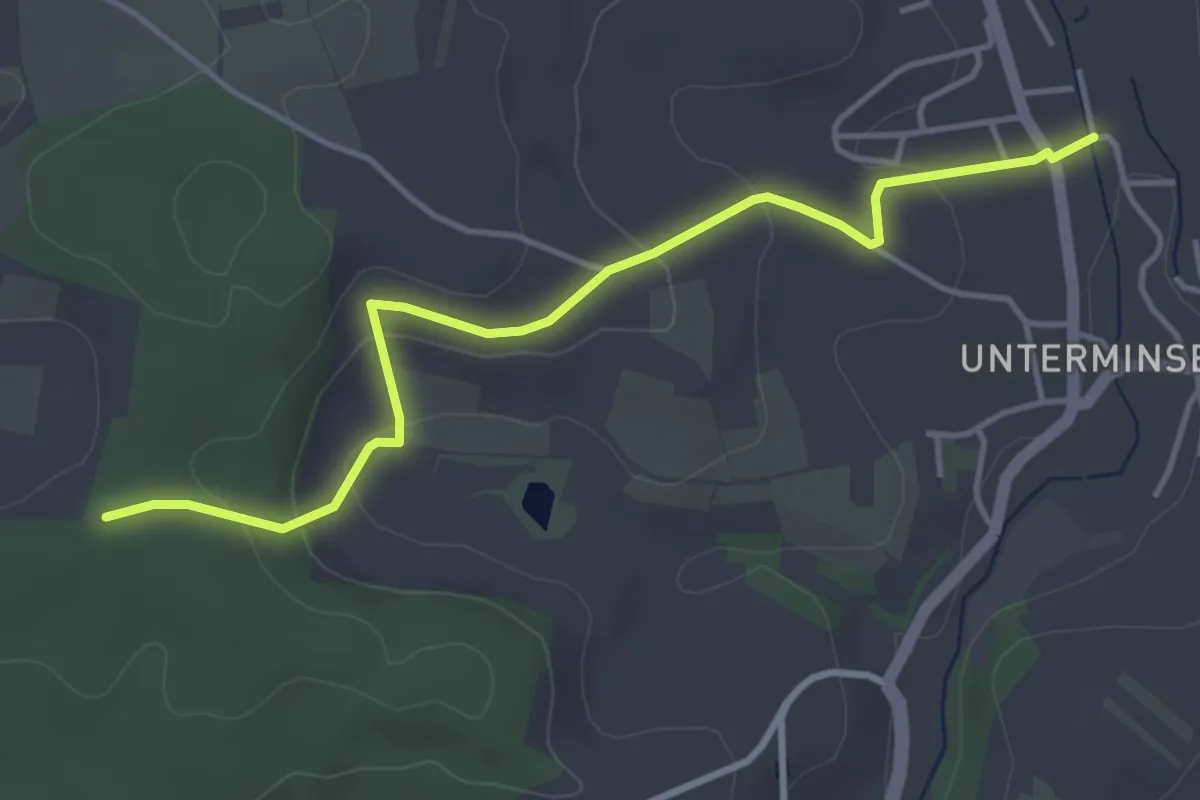
Easy · Trail
Buhrenboden - Minseln am Mühlbach
4.3 km · ↑ 152 m · 1 h 20 min · 14 km away
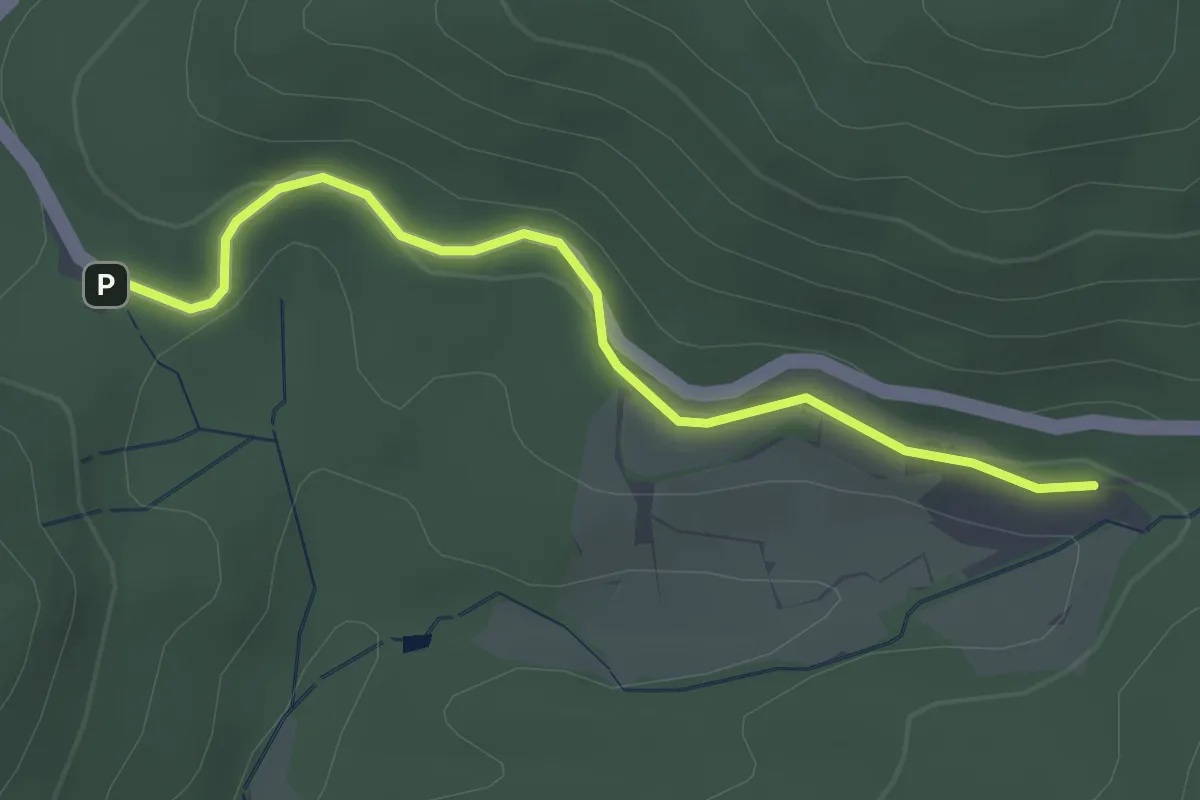
Easy · Trail
Roter Rain - Glashütte St. Christoph
2.7 km · ↑ 87 m · 49 min · 14 km away
Easy · Trail
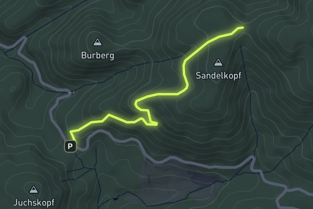
Roter Rain - Rehhütte
4.5 km · ↑ 252 m · 1 h 36 min · 14 km away
Easy · Trail
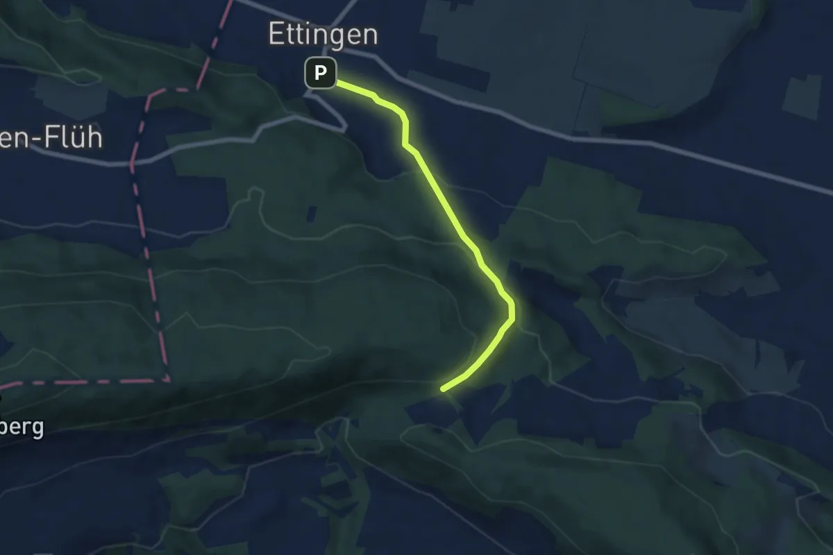
Blattepass – Ettingen Dorf
5.6 km · ↑ 267 m · 1 h 55 min · 14 km away
Easy · Summit
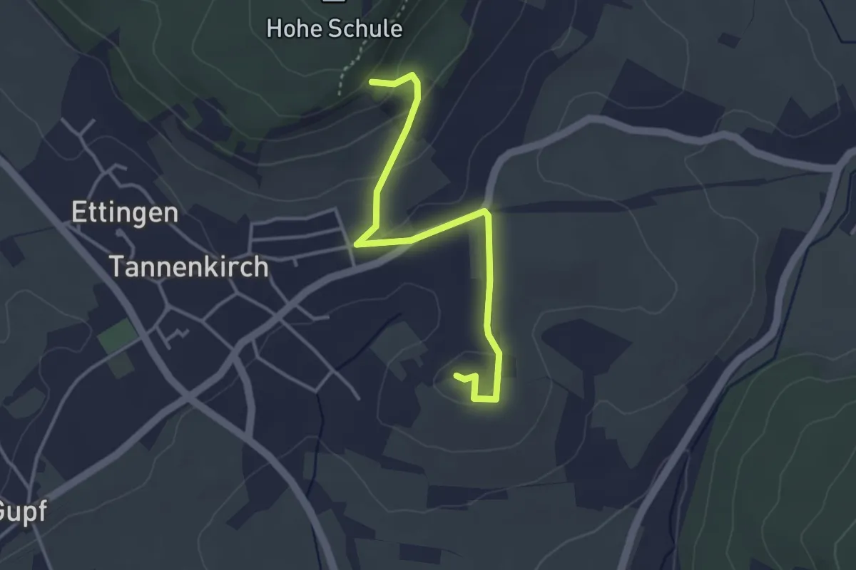
Steingäßle
3.4 km · ↑ 92 m · 1 h 1 min · 14 km away
Easy · Trail
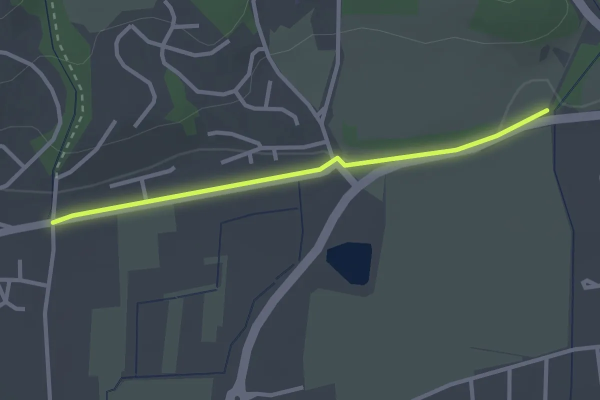
Nollingen Grüttgass - Degussabrücke
2.3 km · ↑ 17 m · 35 min · 14 km away
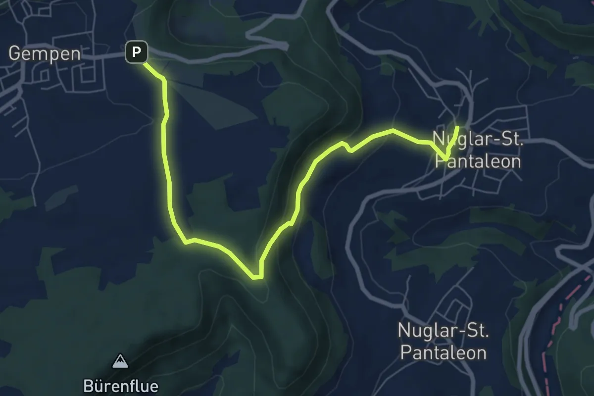
Easy · Trail
Nuglar – Haglenfeld
7.2 km · ↑ 236 m · 2 h 12 min · 14 km away
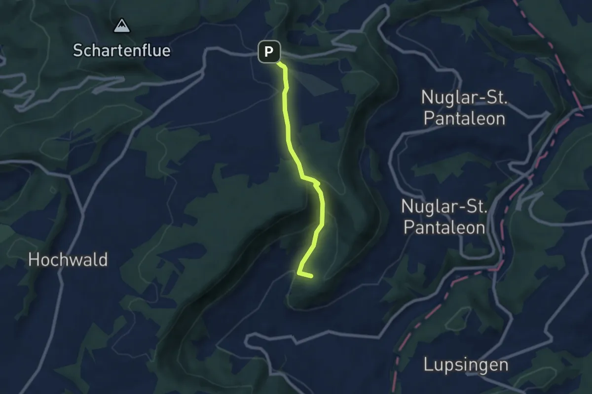
Easy · Summit
Büren – Haglenfeld
5.4 km · ↑ 251 m · 1 h 49 min · 14 km away
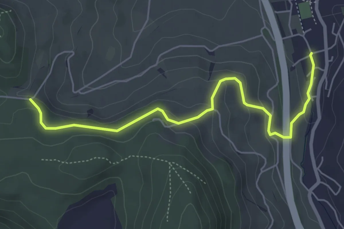
Easy · Trail
Arisdorf – Rankhof
5.3 km · ↑ 188 m · 1 h 40 min · 14 km away
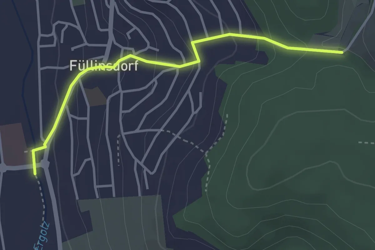
Easy · Trail
Rankhof – Füllinsdorf Schönthal
3.3 km · ↑ 173 m · 1 h 9 min · 14 km away
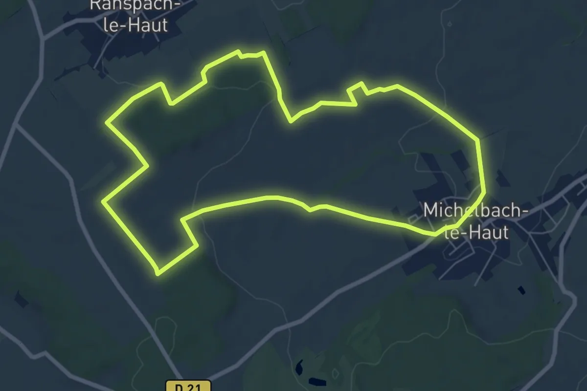
Easy · Trail
Michelbach-le-Haut – Michelbach-le-Haut
6.8 km · ↑ 121 m · 1 h 58 min · 14 km away
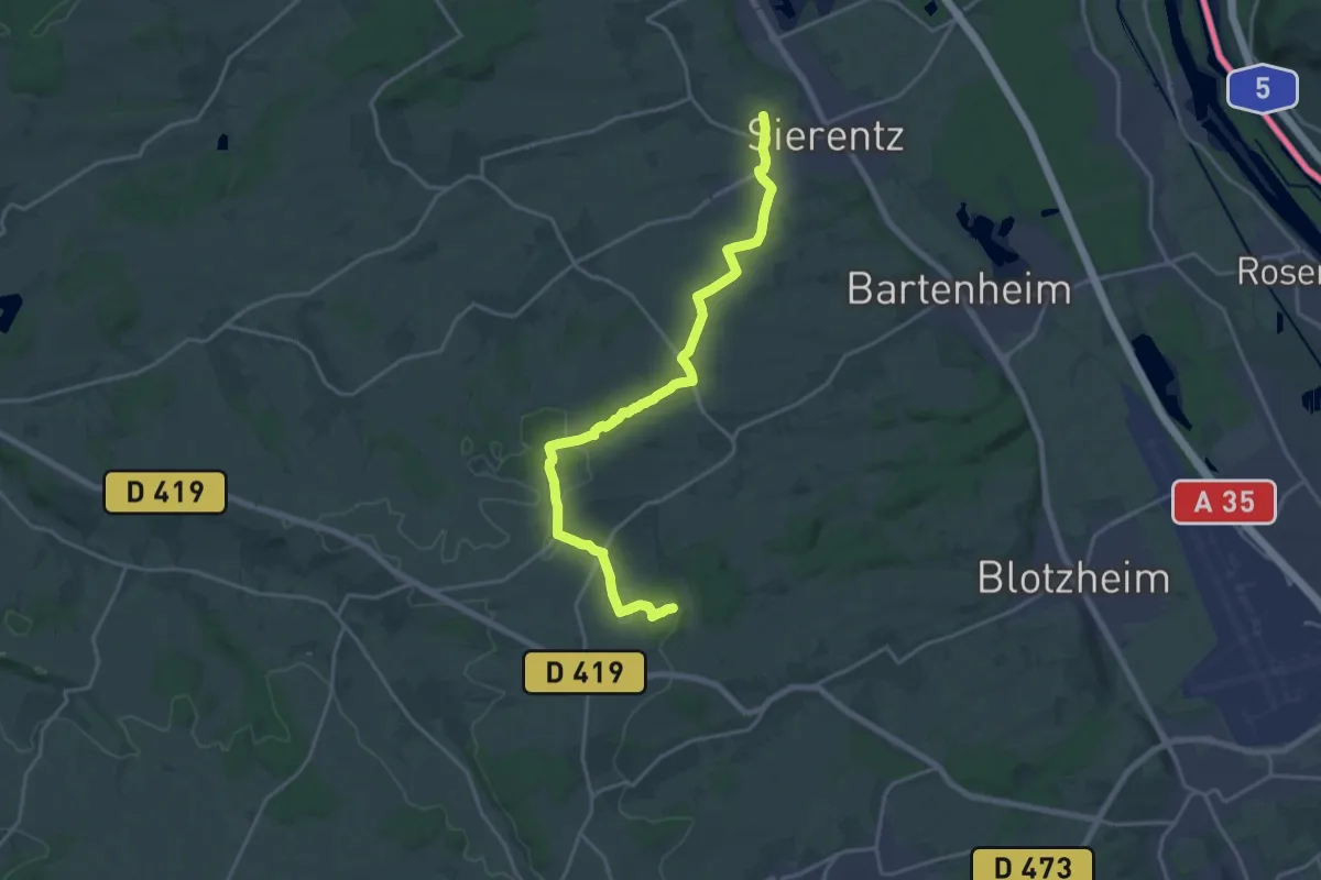
Demanding · Trail
Uffheim – GR 531
20.2 km · ↑ 228 m · 5 h 15 min · 14 km away
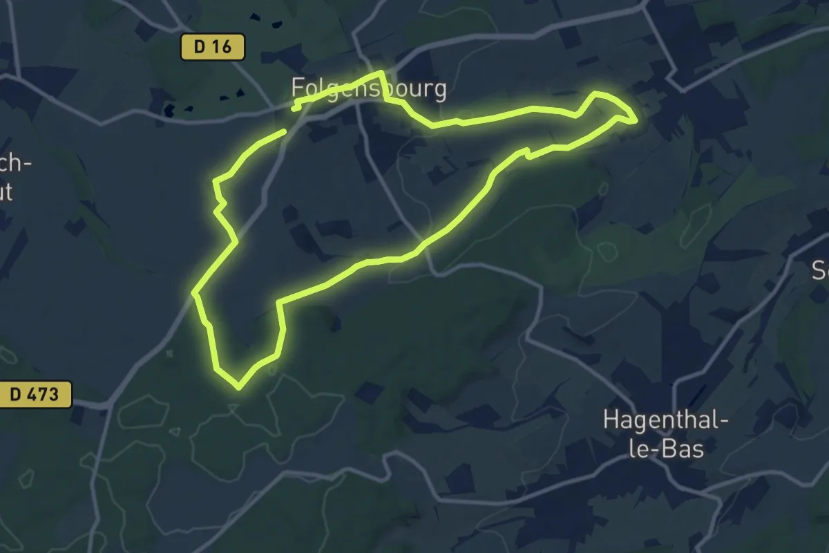
Medium · Trail
Wentzwiller – Wentzwiller
10.2 km · ↑ 156 m · 2 h 54 min · 14 km away
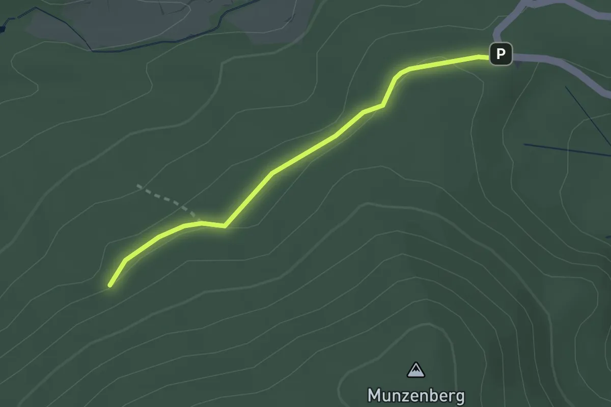
Easy · Trail
Kohlmattschlag - Scheideck
2.3 km · ↑ 33 m · 37 min · 14 km away
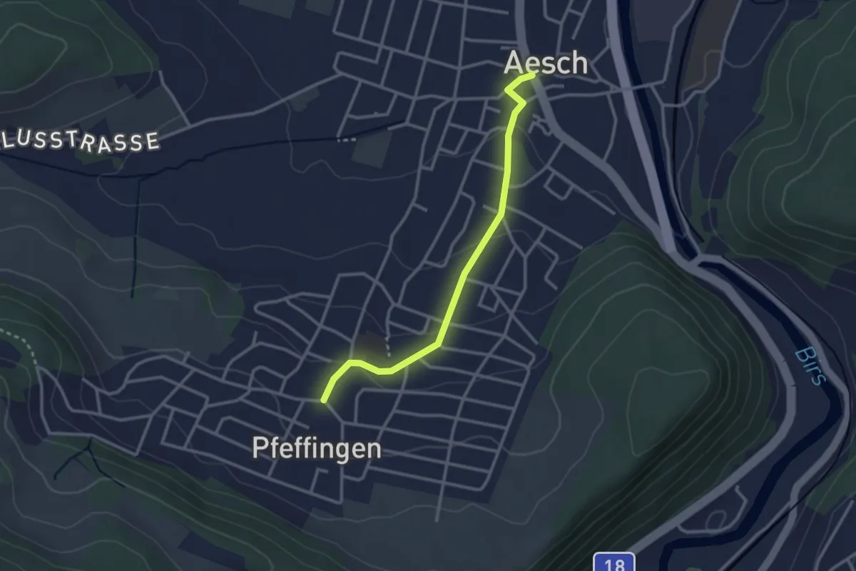
Easy · Trail
Aesch – Pfeffingen
2.7 km · ↑ 75 m · 48 min · 14 km away
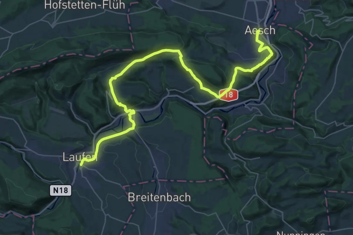
Medium · Trail
ViaJura - Etappe 2
16.5 km · ↑ 480 m · 5 h 9 min · 14 km away
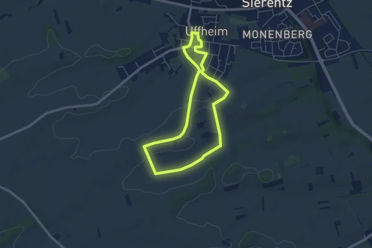
Easy · Trail
Uffheim – Uffheim
4.4 km · ↑ 43 m · 1 h 11 min · 14 km away
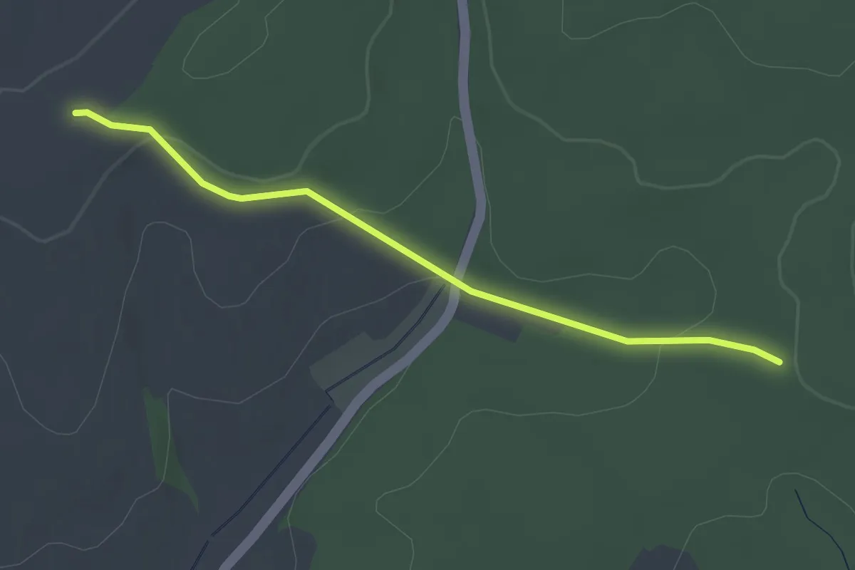
Easy · Trail
Schwinle Kreuz - Holzacker
2.8 km · ↑ 88 m · 51 min · 14 km away
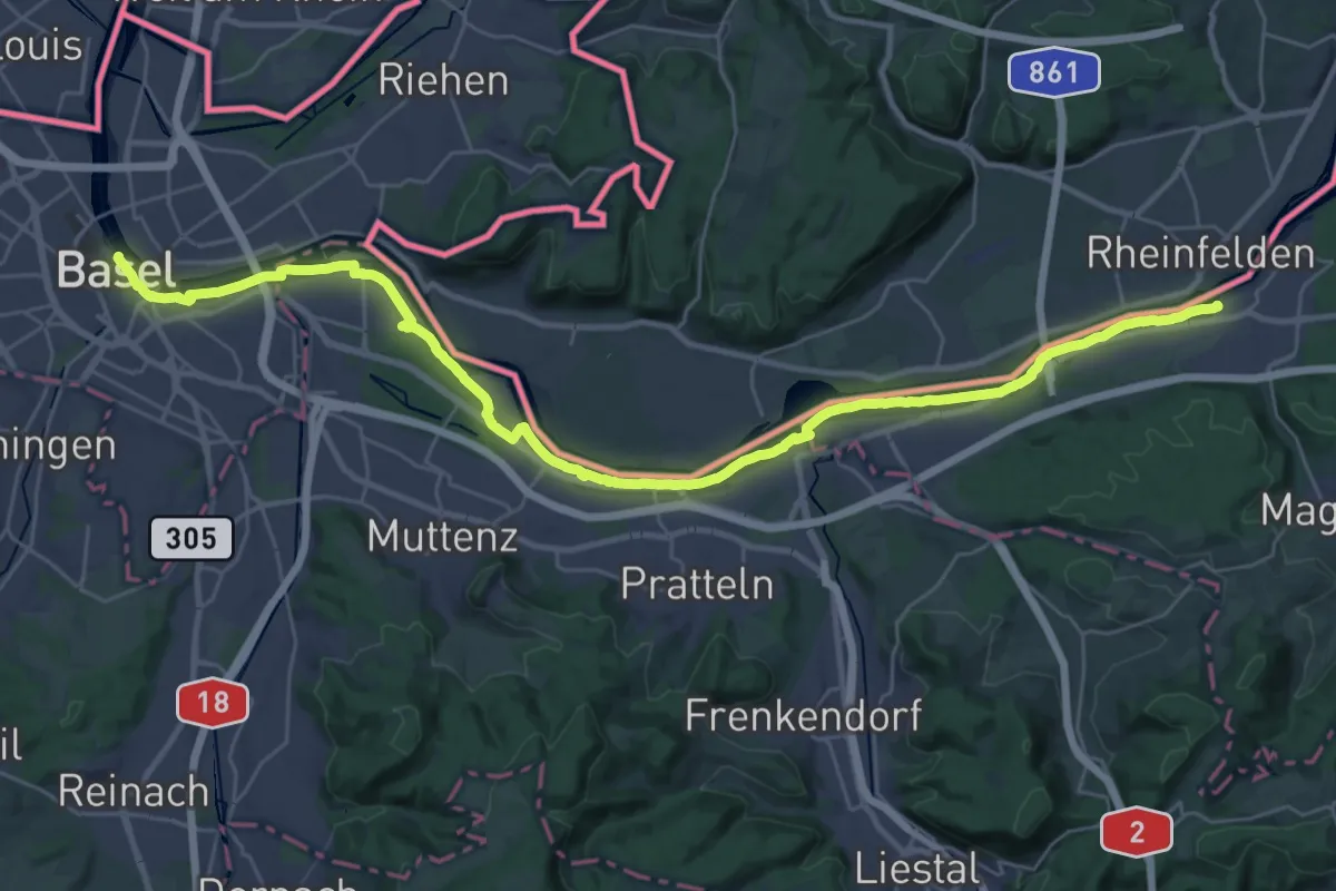
Demanding · Trail
ViaRhenana
18.5 km · ↑ 104 m · 4 h 51 min · 14 km away
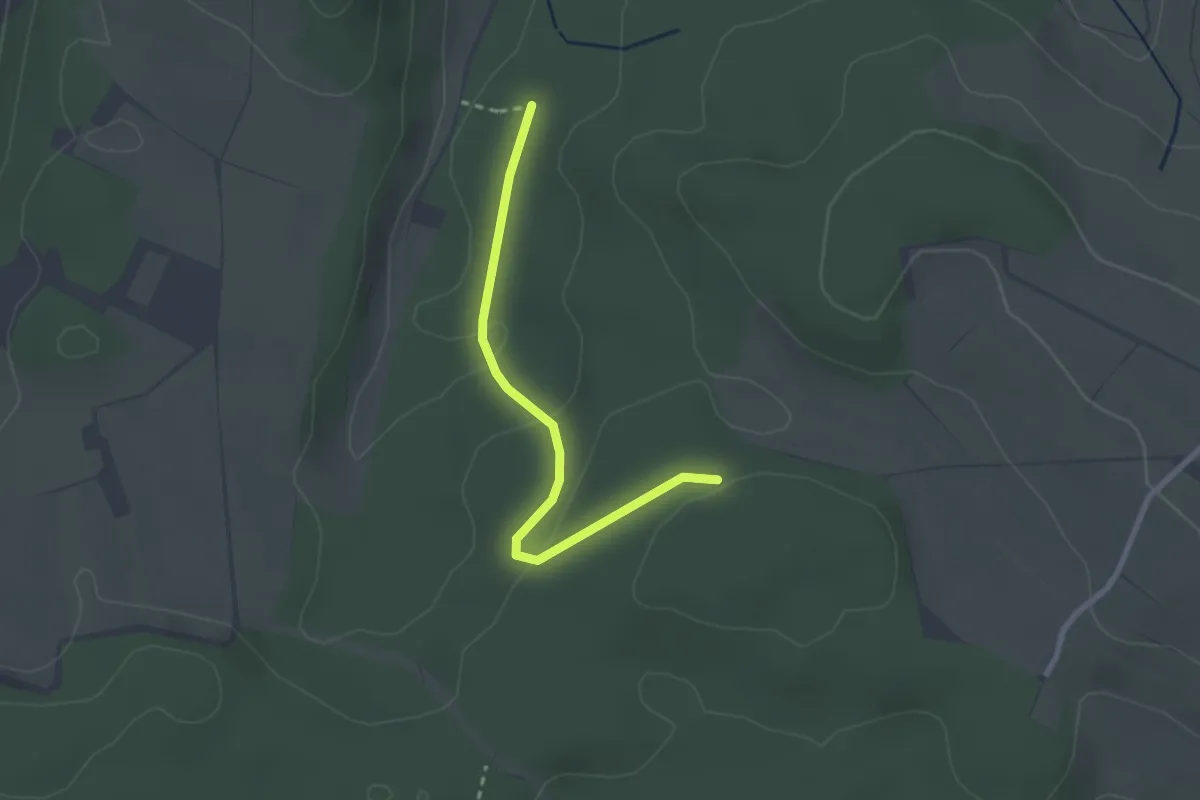
Easy · Trail
Windleter Brünnli - Im Haargarten
2.4 km · ↑ 67 m · 43 min · 14 km away
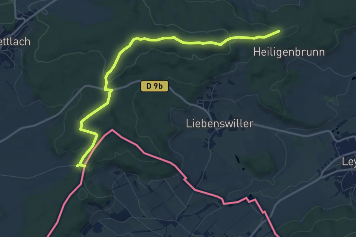
Medium · Trail
GR 531 – Frontière Suisse
9.7 km · ↑ 220 m · 2 h 46 min · 14 km away
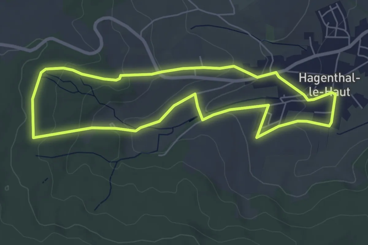
Easy · Trail
Le Sentier Vert 6 km
5.3 km · ↑ 118 m · 1 h 34 min · 14 km away
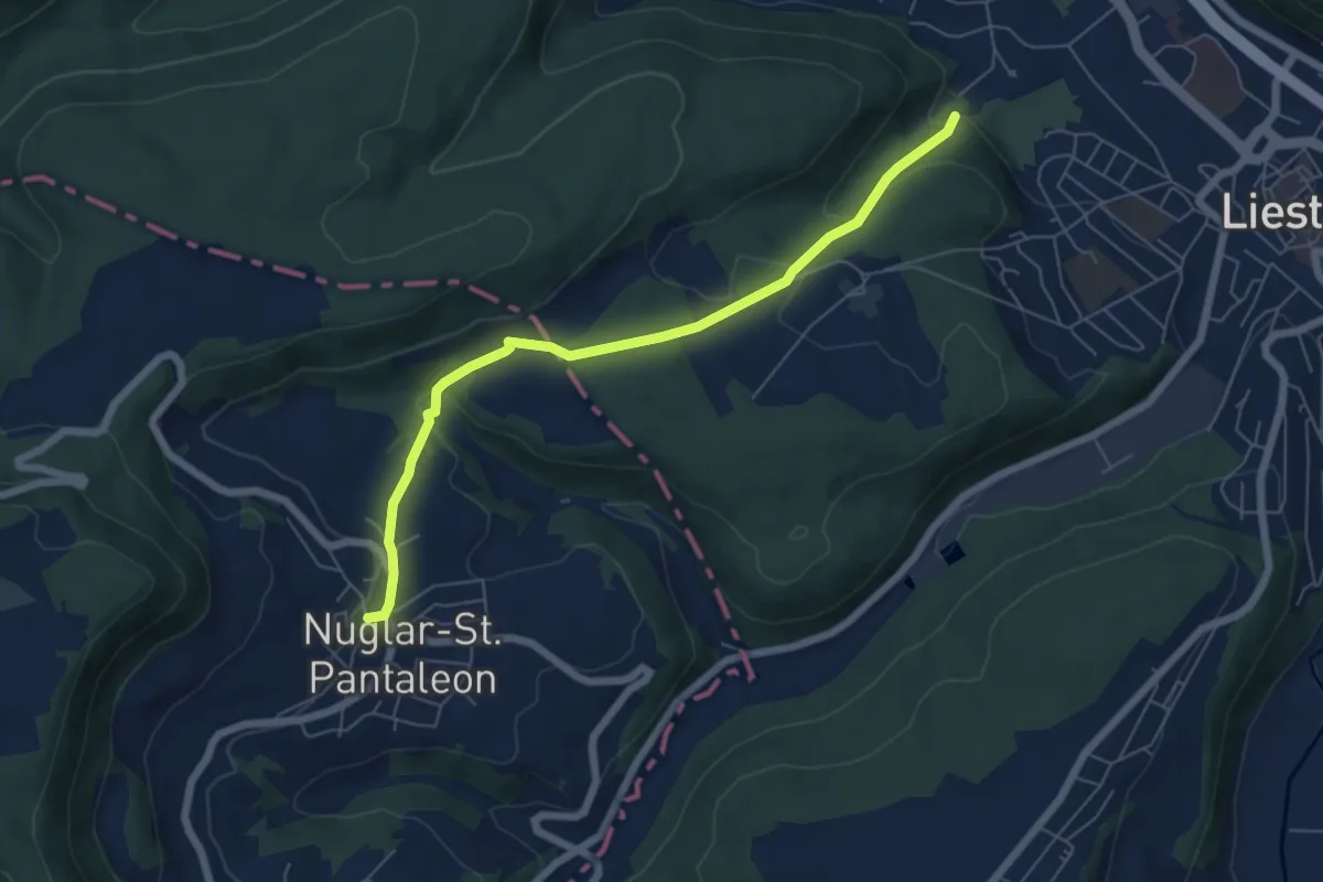
Easy · Trail
Nuglar - Bintal - fixme
6.1 km · ↑ 219 m · 1 h 56 min · 14 km away
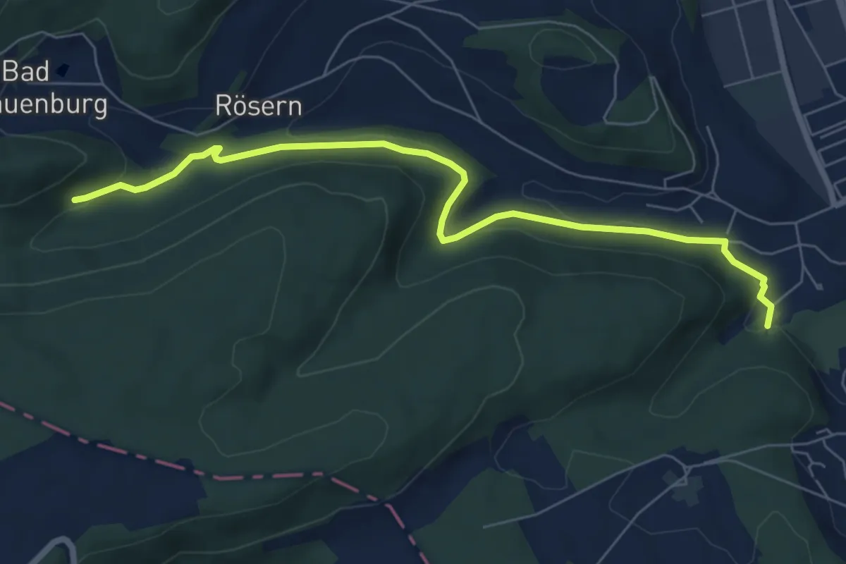
Easy · Trail
Bintal – Röserental
7.0 km · ↑ 217 m · 2 h 8 min · 14 km away
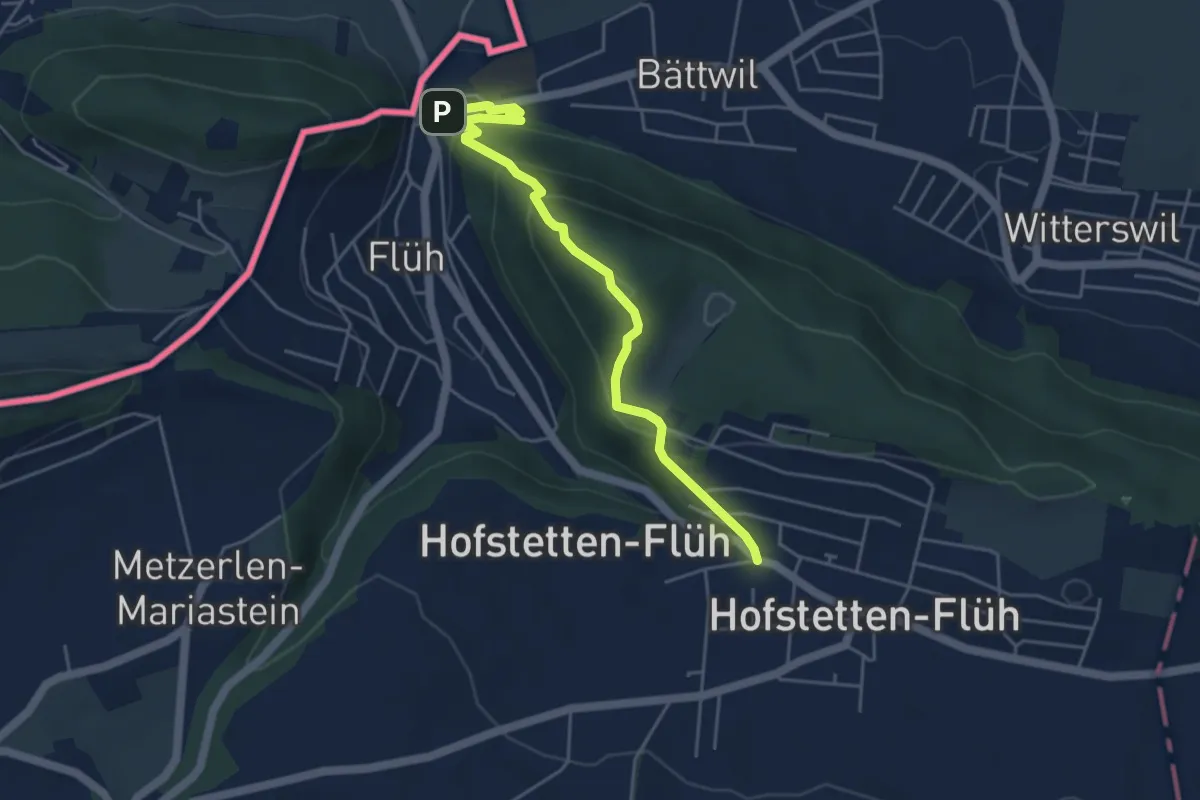
Demanding · Trail
Hofstetten – Flüh Station
4.7 km · ↑ 247 m · 1 h 39 min · 14 km away
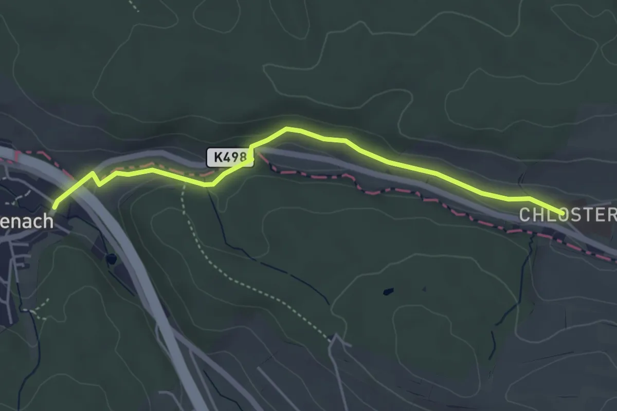
Easy · Trail
Stift Olsberg – Giebenbach
4.3 km · ↑ 67 m · 1 h 10 min · 14 km away
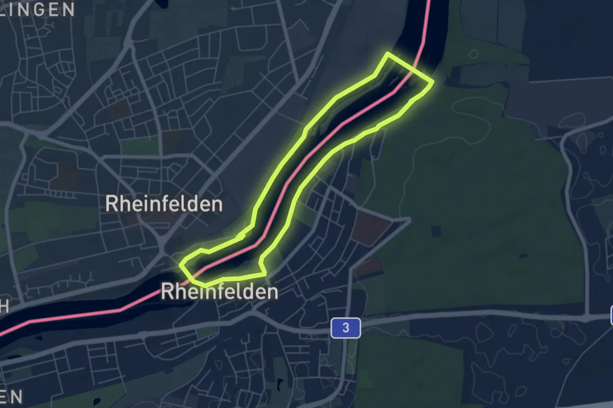
Easy · Trail
Rheinfelder Rheinuferweg
5.5 km · ↑ 23 m · 1 h 26 min · 14 km away
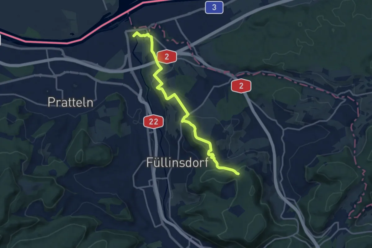
Medium · Trail
Augst-Rankhof-Büchlihau- Chapf
11.9 km · ↑ 330 m · 3 h 31 min · 14 km away
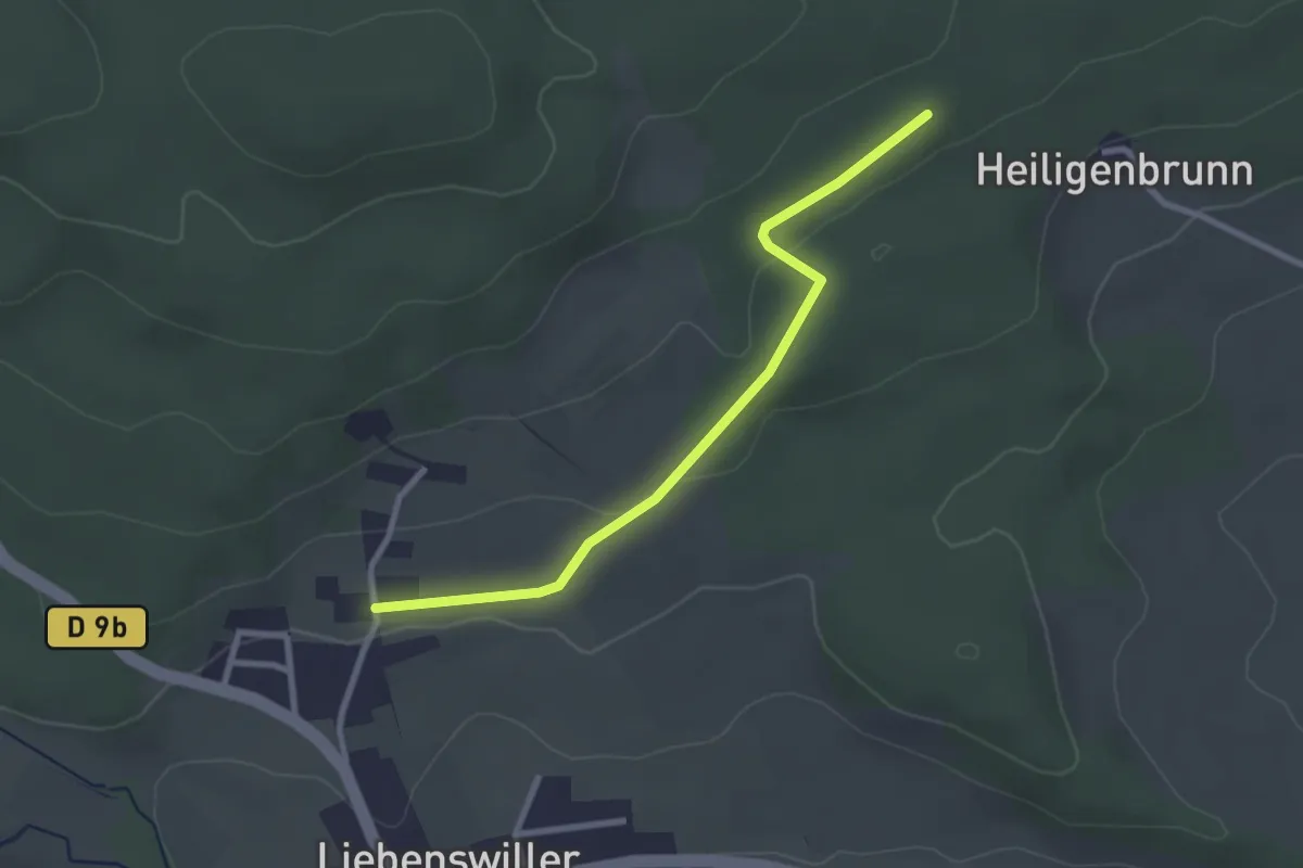
Easy · Trail
Liebenswiller – GR 531
2.6 km · ↑ 44 m · 43 min · 14 km away
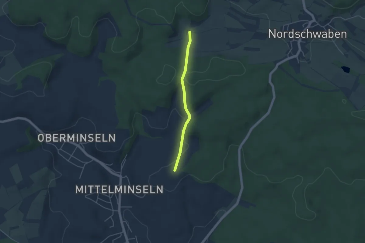
Easy · Trail
Schwinle Kreuz - Schluckacker
3.1 km · ↑ 114 m · 59 min · 14 km away
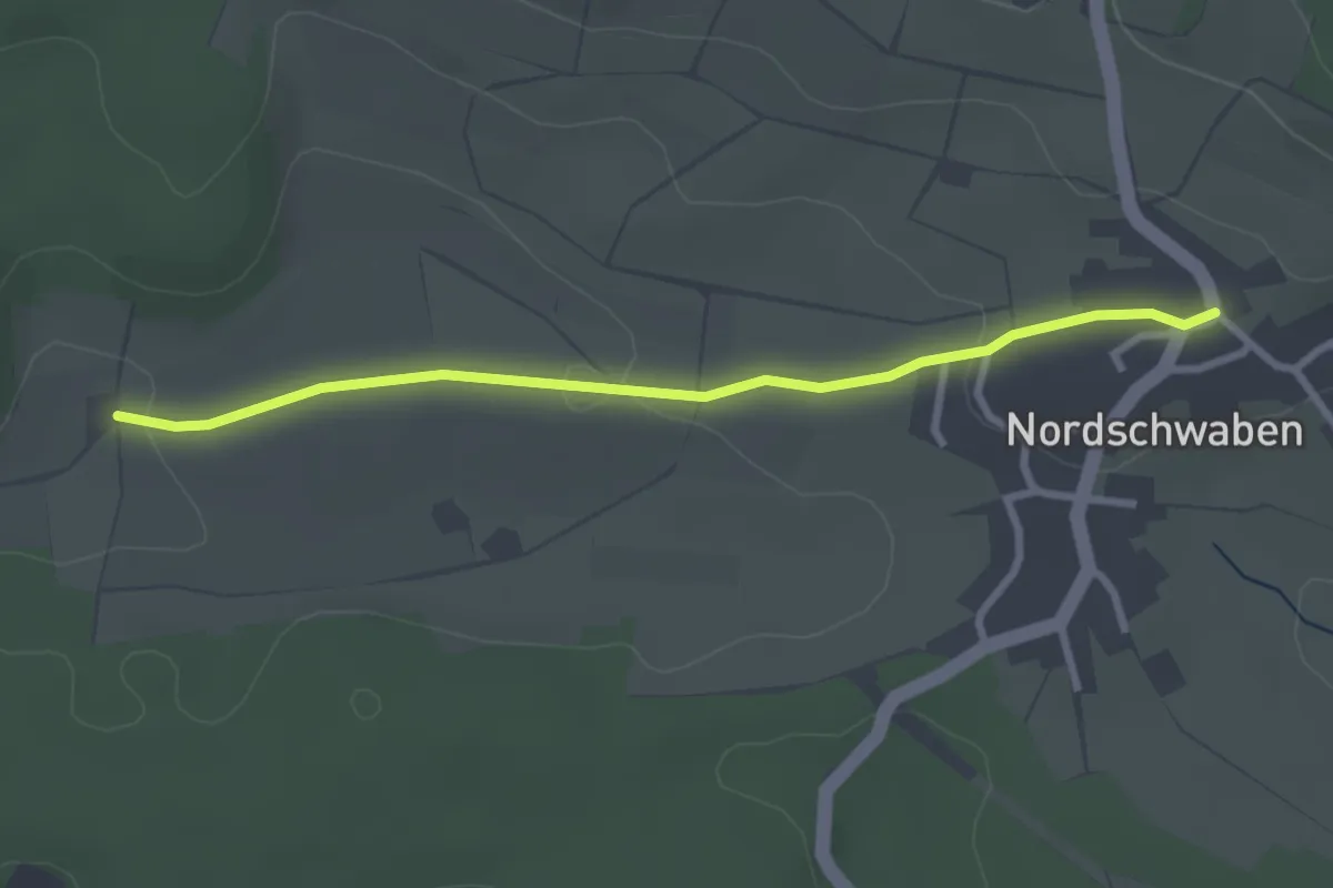
Easy · Trail
Schluckacker - Nordschwaben Oberdorf
2.8 km · ↑ 54 m · 47 min · 14 km away
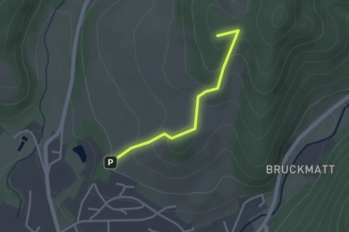
Easy · Summit
Wässerliwald - Im Loh
2.3 km · ↑ 125 m · 49 min · 15 km away
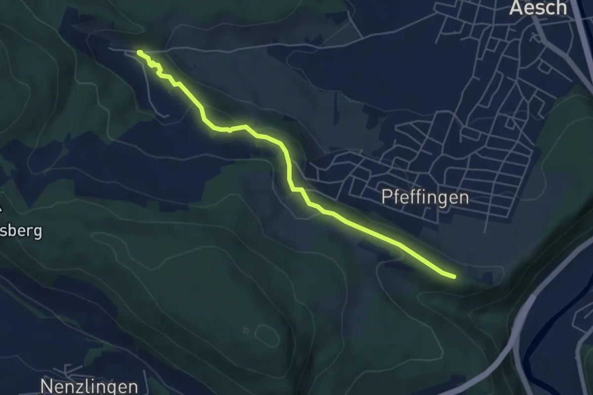
Medium · Trail
Ruine Pfeffingen – Untere Chlus
5.2 km · ↑ 200 m · 1 h 40 min · 15 km away
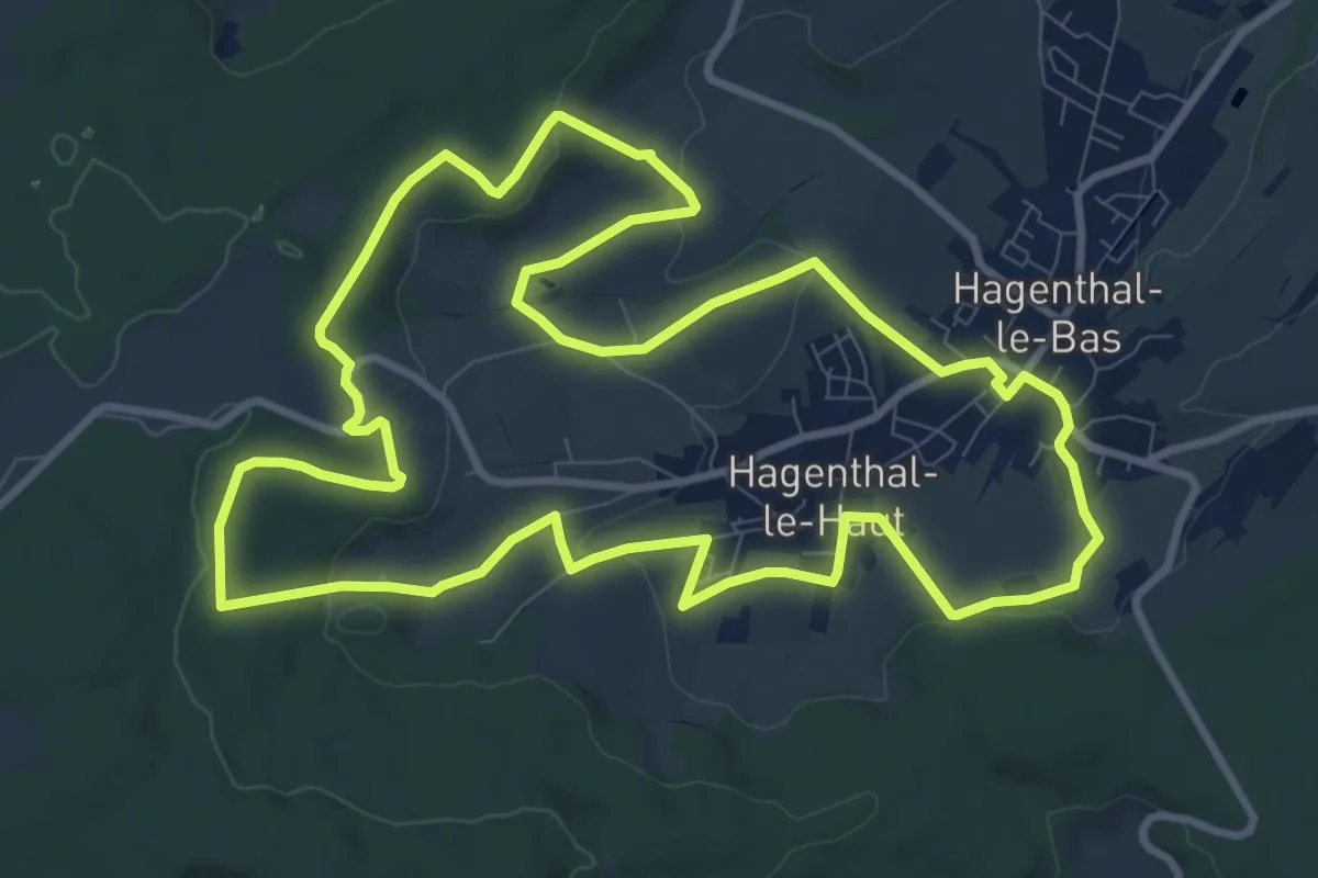
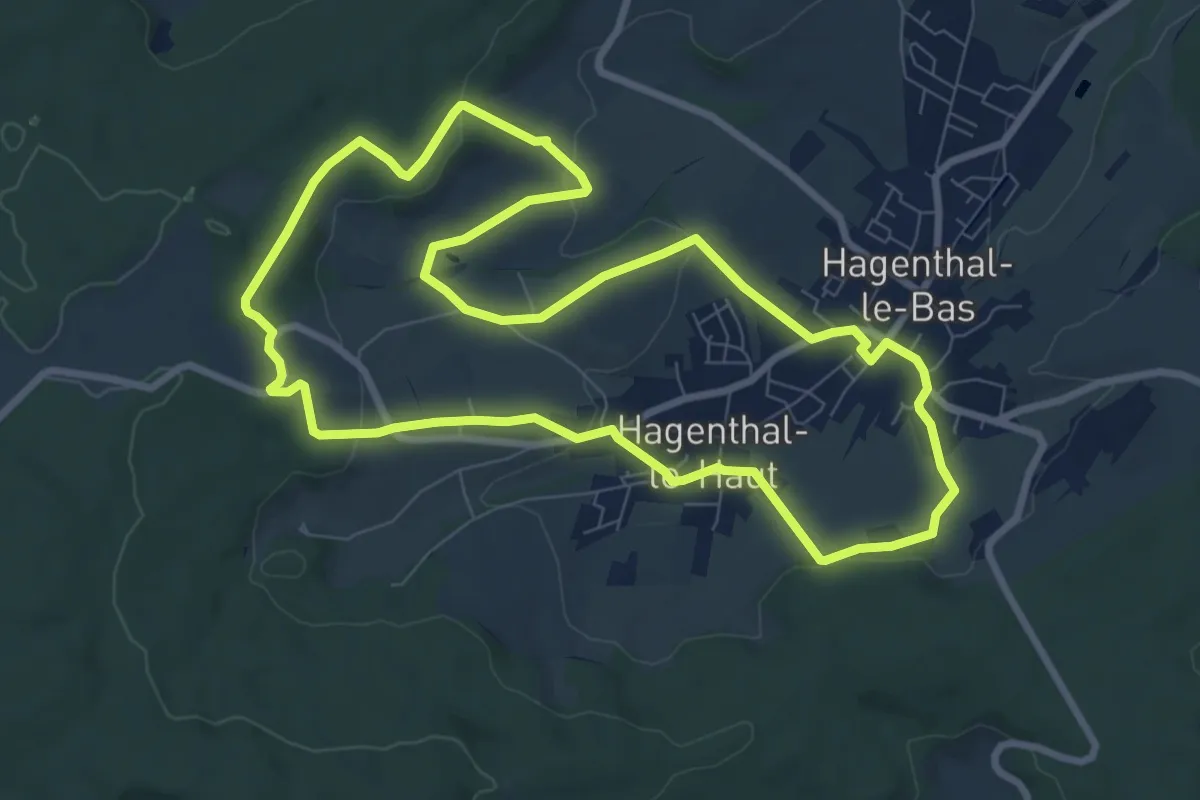
Medium · Trail
Le Sentier Vert 11 km
10.6 km · ↑ 200 m · 3 h 6 min · 15 km away
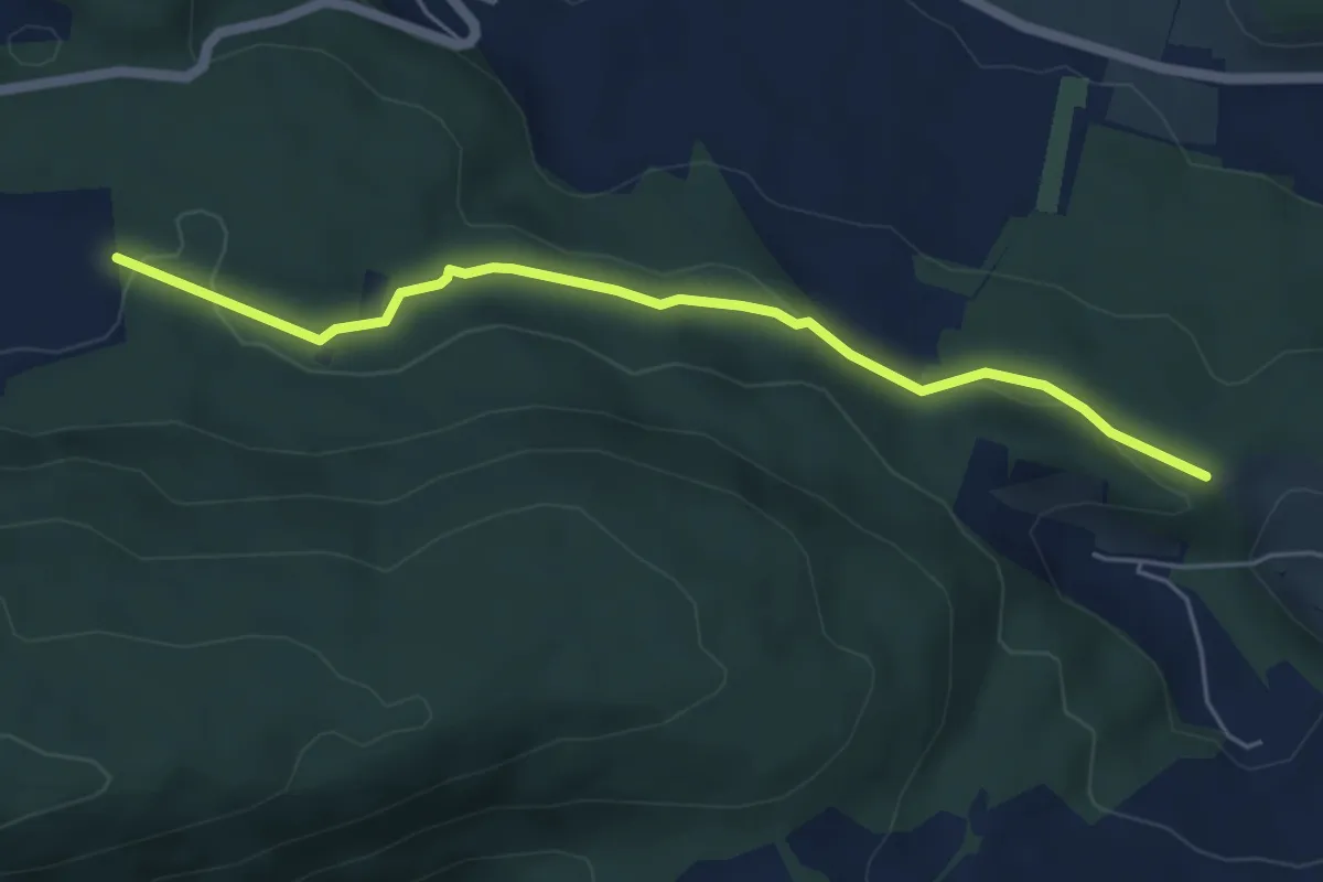
Medium · Trail
Le Sentier Vert 8 km
8.4 km · ↑ 168 m · 2 h 28 min · 15 km away
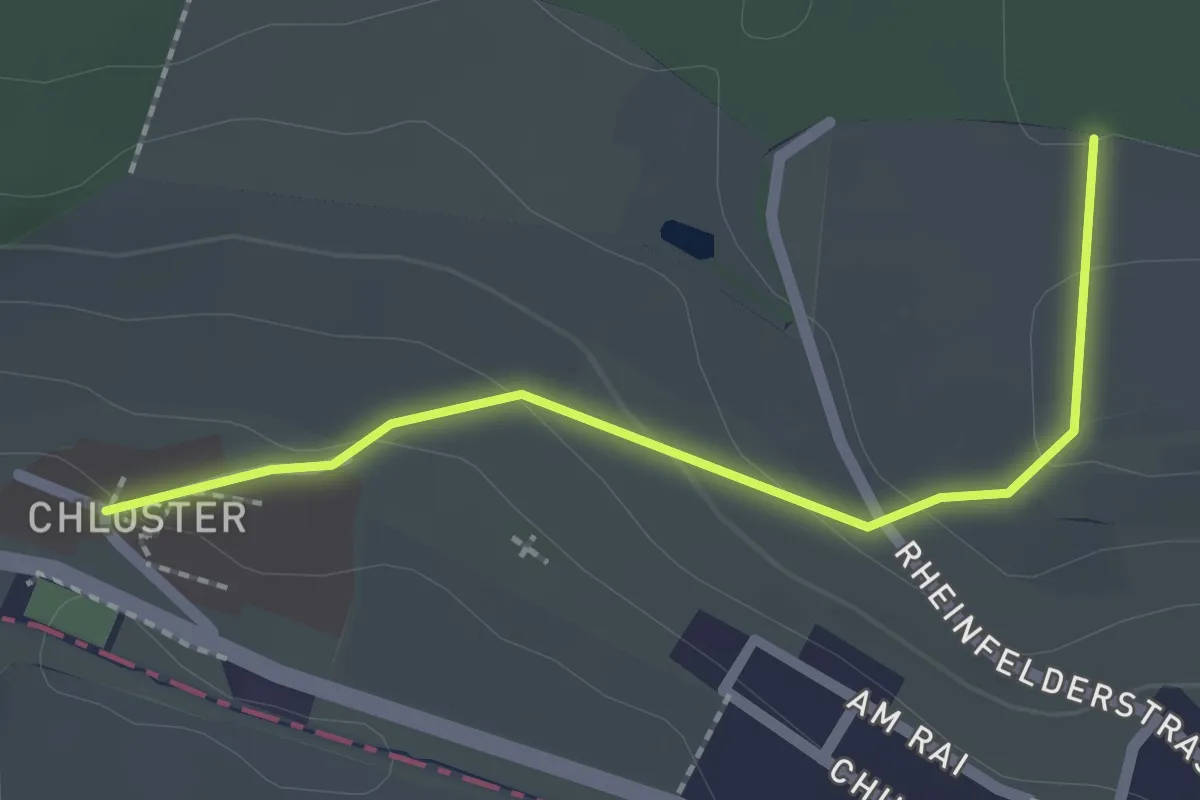
Easy · Trail
Mettli – Chlusboden
5.1 km · ↑ 126 m · 1 h 29 min · 15 km away
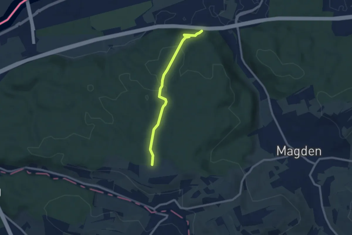
Easy · Trail
Stift Olsberg – Weid
2.0 km · ↑ 56 m · 36 min · 15 km away
Medium · Trail
Belchenblick – Weid
5.0 km · ↑ 137 m · 1 h 29 min · 15 km away
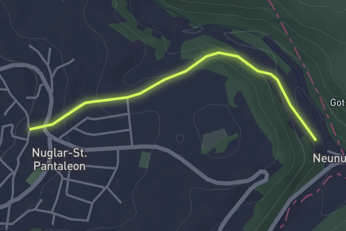
Easy · Trail
Nuglar - Neunuglar - fixme
2.8 km · ↑ 114 m · 55 min · 15 km away
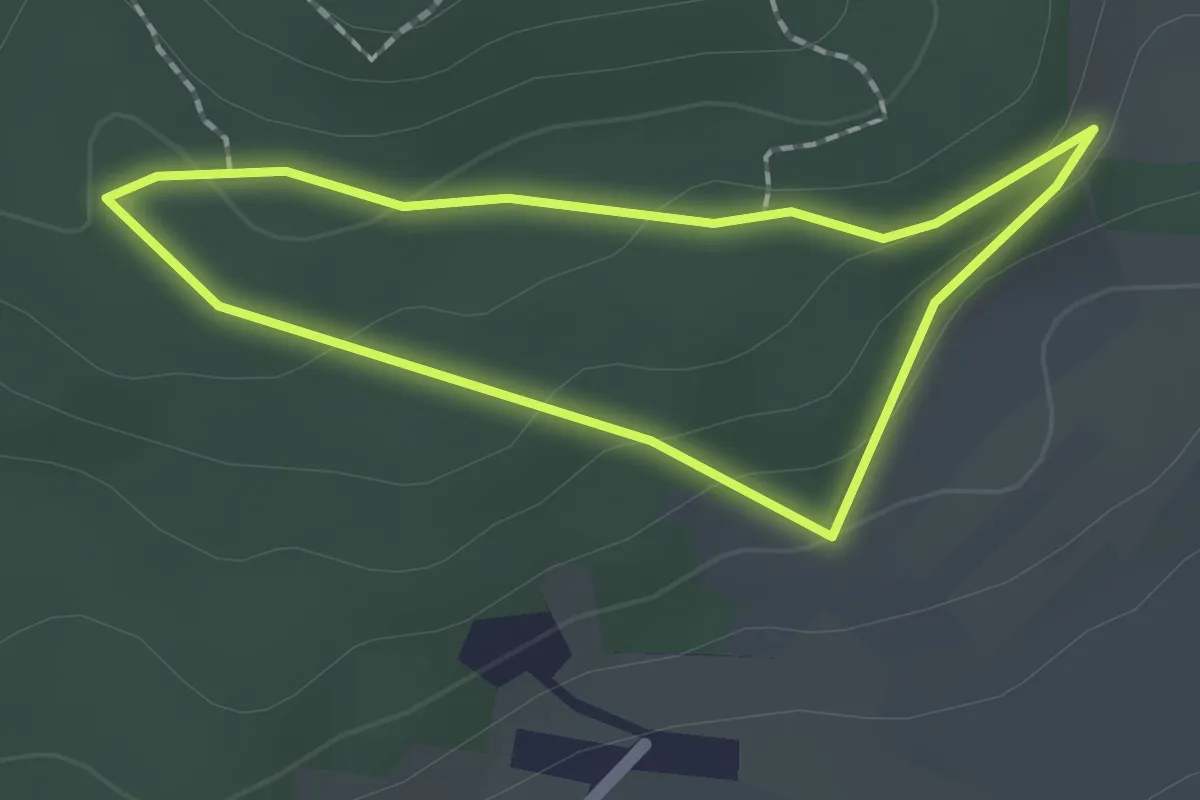
Easy · Trail
Liebenswiller – Liebenswiller
1.5 km · ↑ 50 m · 30 min · 15 km away
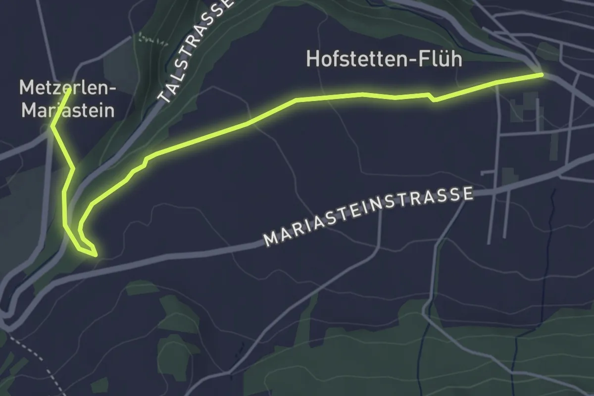
Easy · Trail
Kloster Mariastein – Hofstetten
5.1 km · ↑ 74 m · 1 h 21 min · 15 km away