Trails in Germany
36,852 hiking trails, each with its route, climb, walking time and grade.
All trails, page 158 of 768
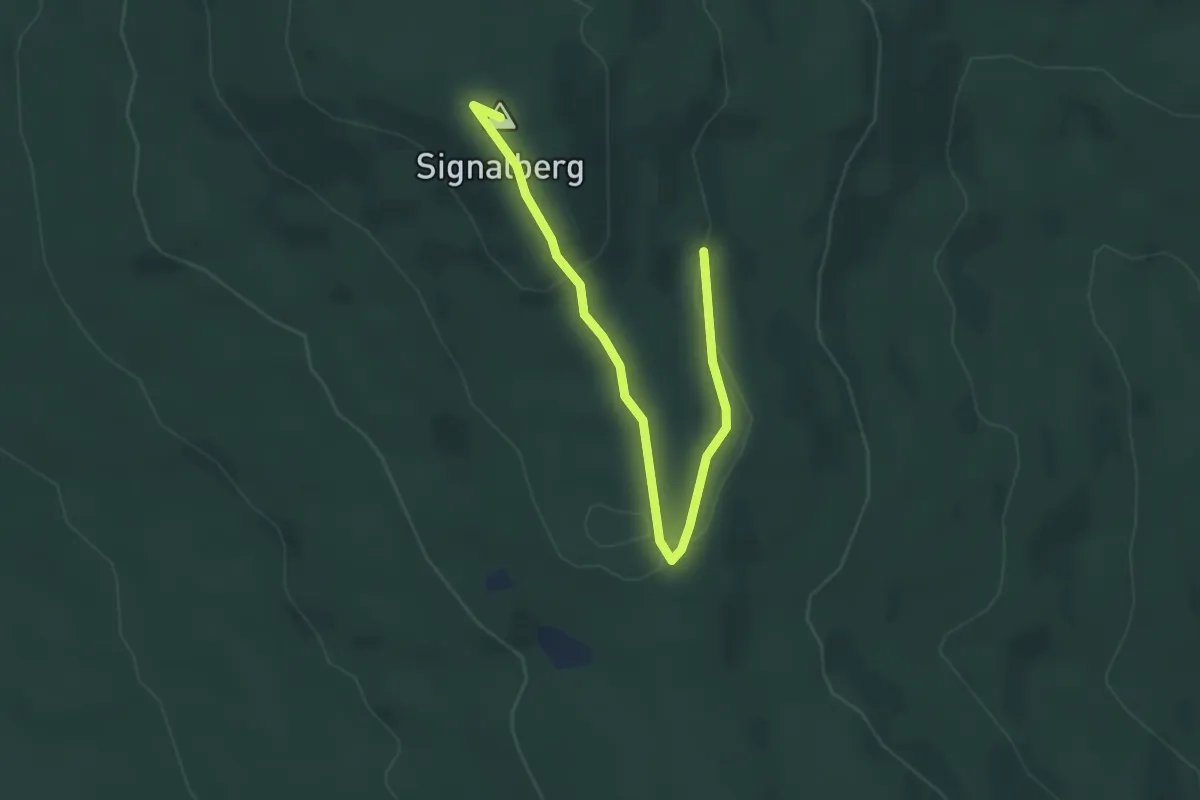
Easy · Summit
Frauensteinweg
3.9 km · ↑ 98 m · 1 h 7 min
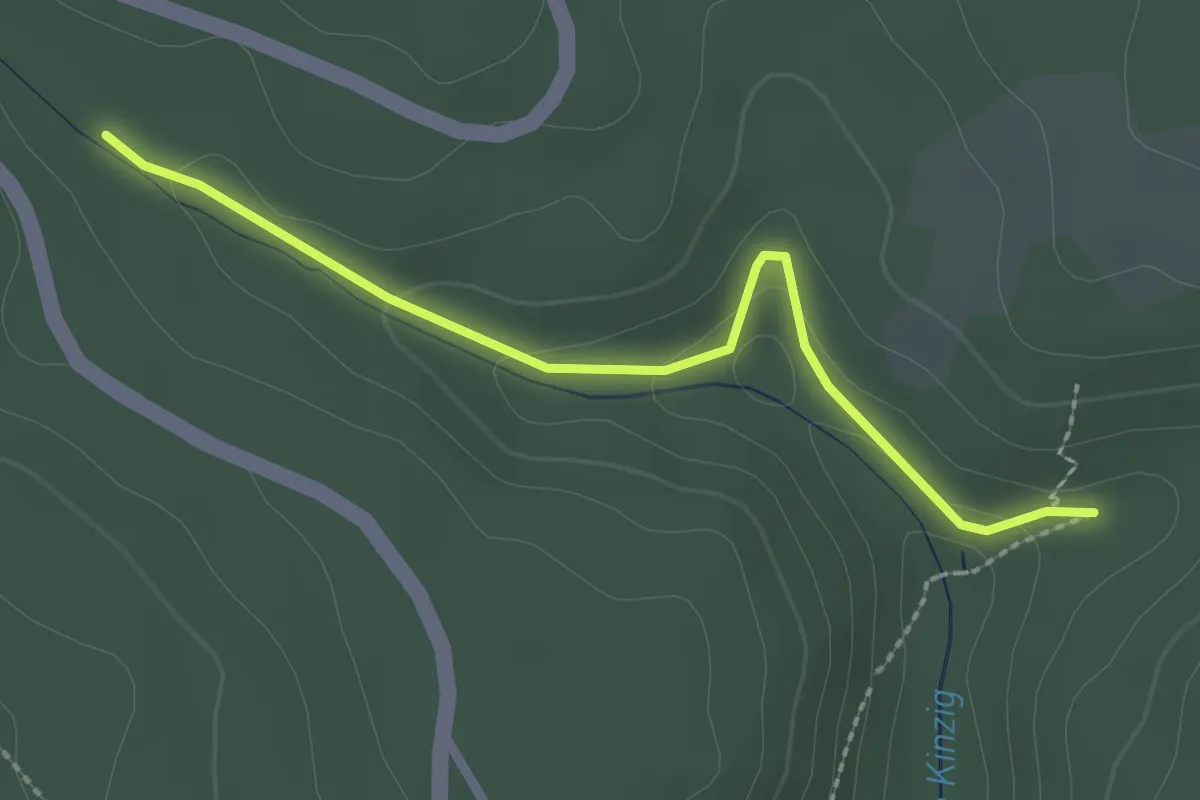
Easy · Trail
Frauenteich - Maushütte
2.3 km · ↑ 76 m · 43 min
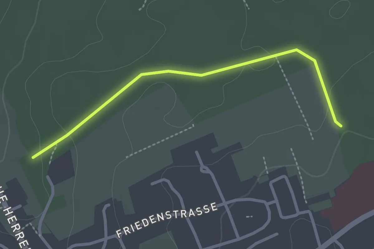
Easy · Trail
Frauenwäldle - Schwanner Rain Waldklinik
2.3 km · ↑ 30 m · 37 min
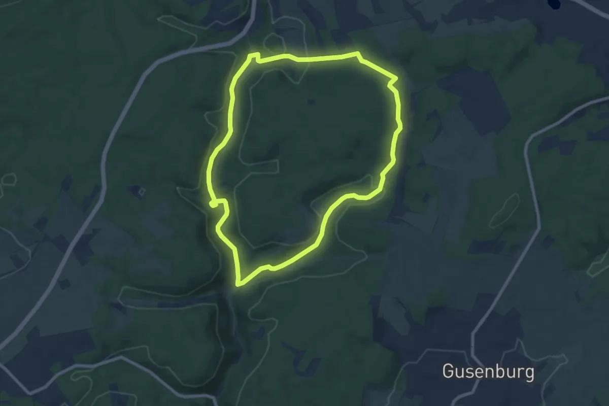
Easy · Trail
Frau Holle
6.9 km · ↑ 206 m · 2 h 11 min
Medium · Trail
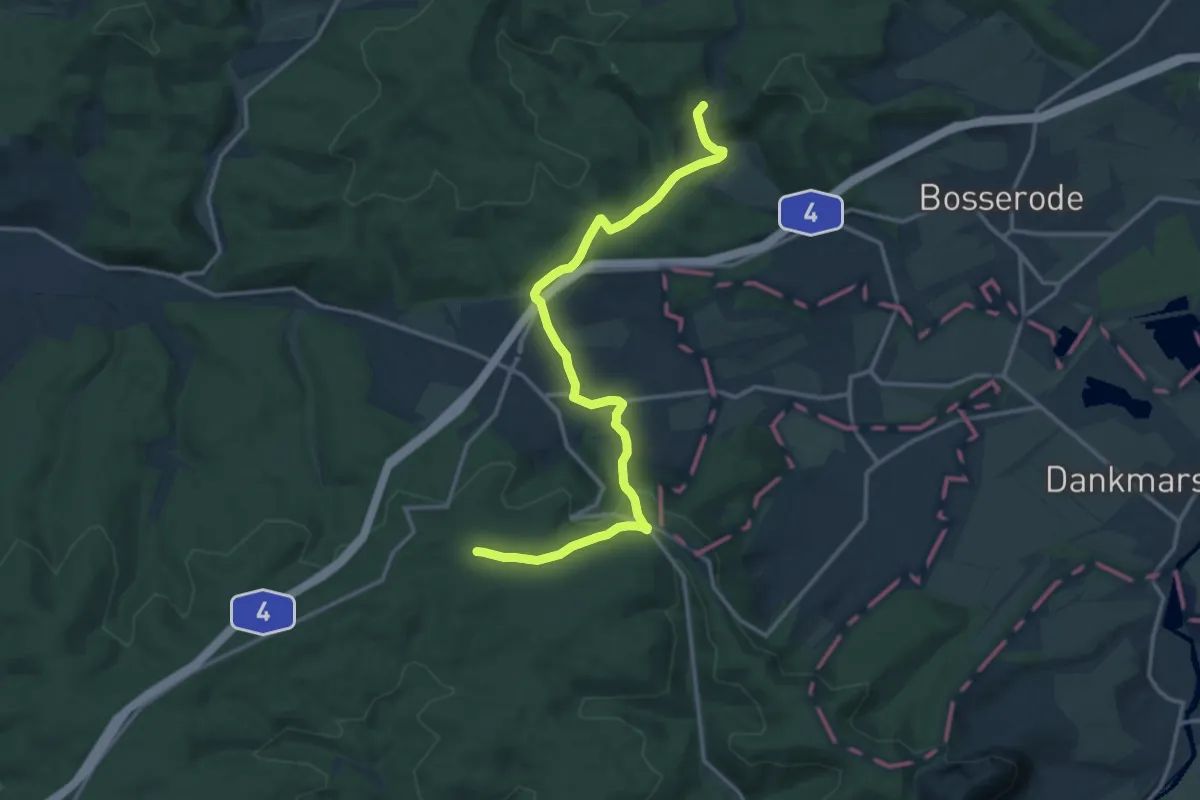
Frau-Holle-Pfad
14.1 km · ↑ 381 m · 4 h 9 min
Easy · Trail
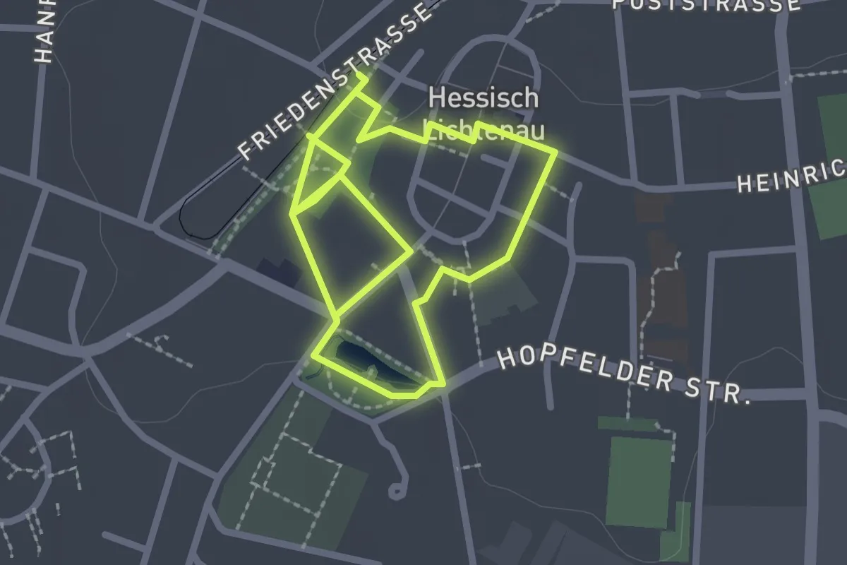
Frau-Holle-Rundweg
1.9 km · ↑ 4 m · 30 min
Easy · Summit
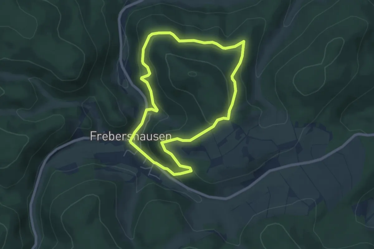
Frebershausen - F6
4.8 km · ↑ 194 m · 1 h 37 min
Easy · Trail
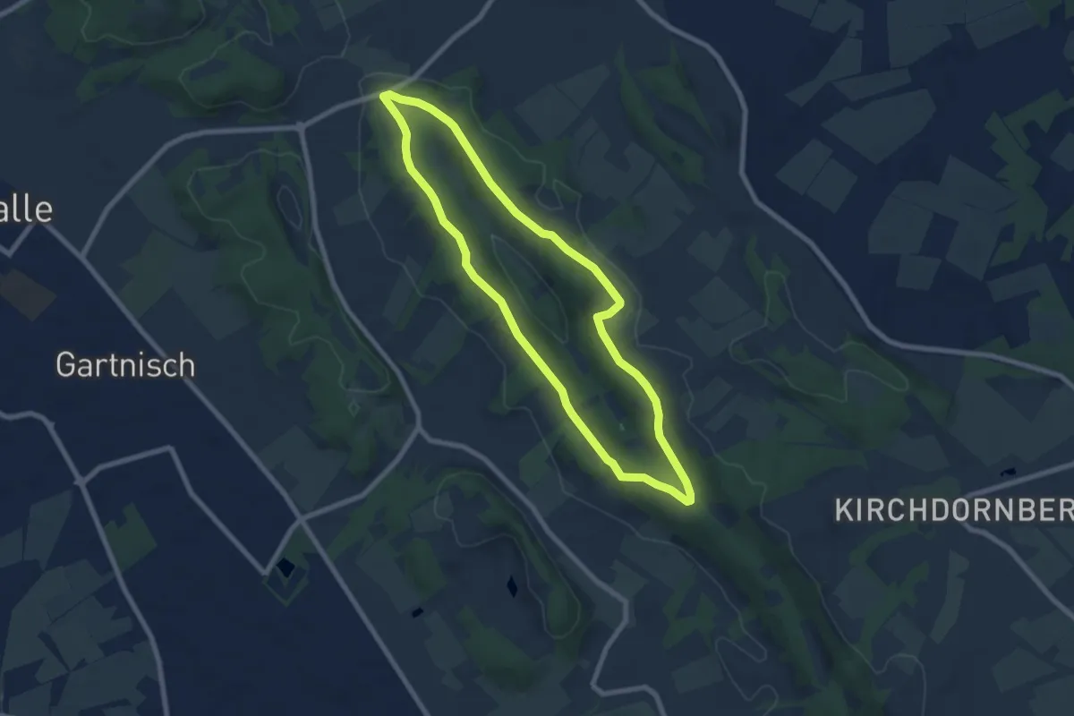
Frederkingweg
6.2 km · ↑ 138 m · 1 h 51 min
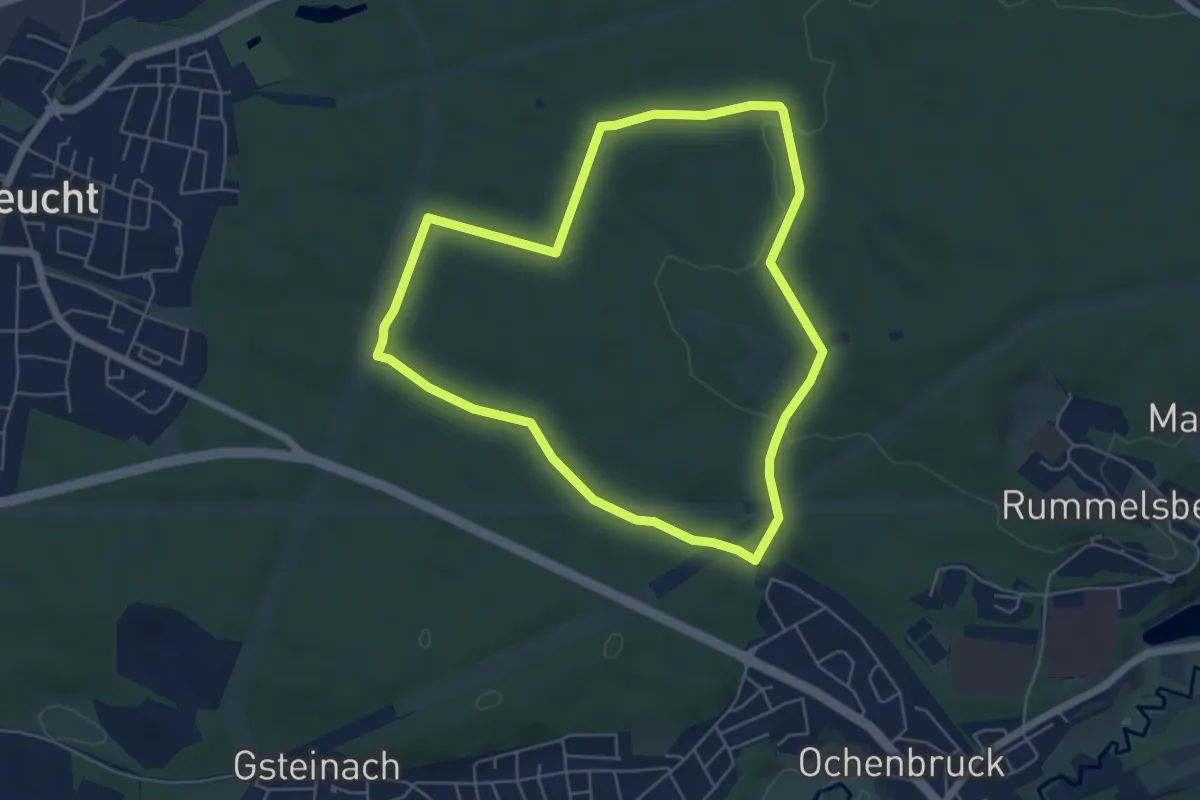
Easy · Trail
Freibad Bienenweg No.8
5.2 km · ↑ 54 m · 1 h 24 min
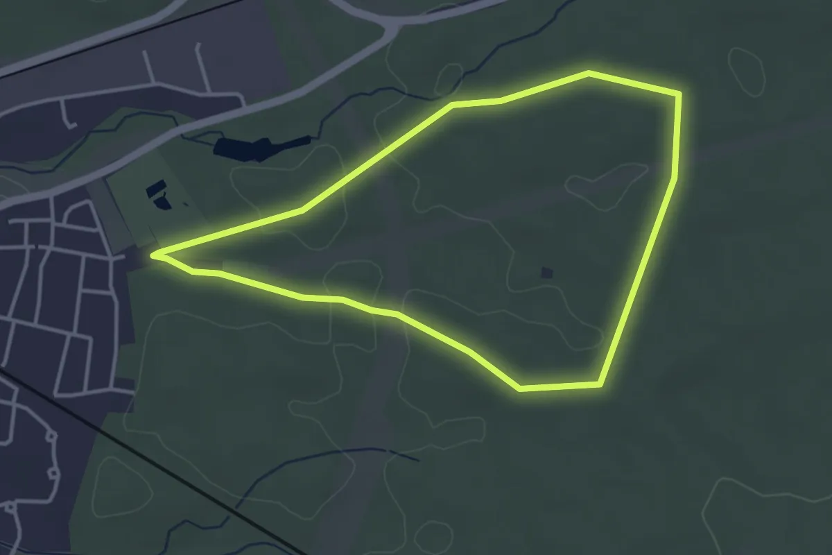
Easy · Trail
Freibad Honigpfad No.7
3.3 km · ↑ 22 m · 53 min
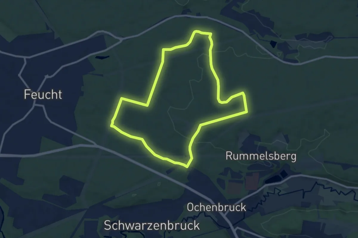
Easy · Trail
Freibad Imkerrunde No.9
7.9 km · ↑ 70 m · 2 h 7 min
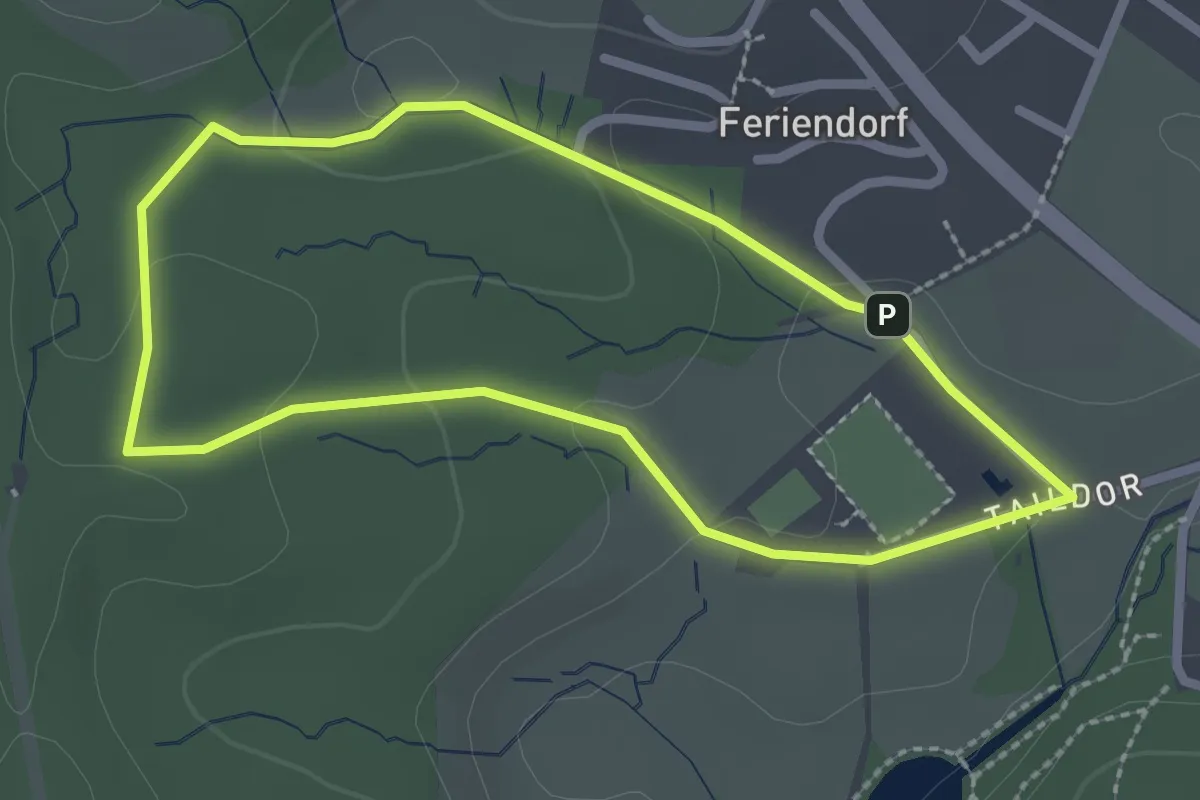
Easy · Trail
Freibad Neuenheerse Rundweg A4
2.0 km · ↑ 41 m · 36 min
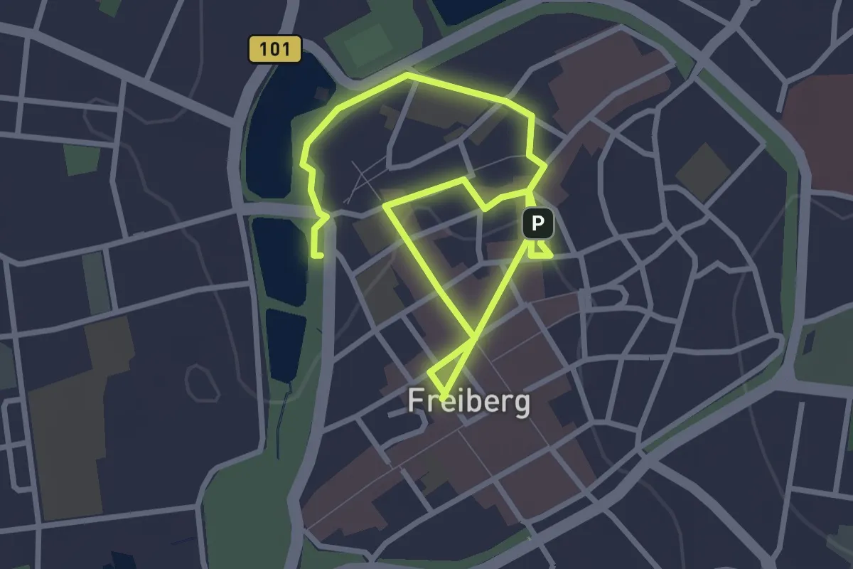
Easy · Trail
Freiberger Gelehrtenweg
3.9 km · ↑ 21 m · 58 min
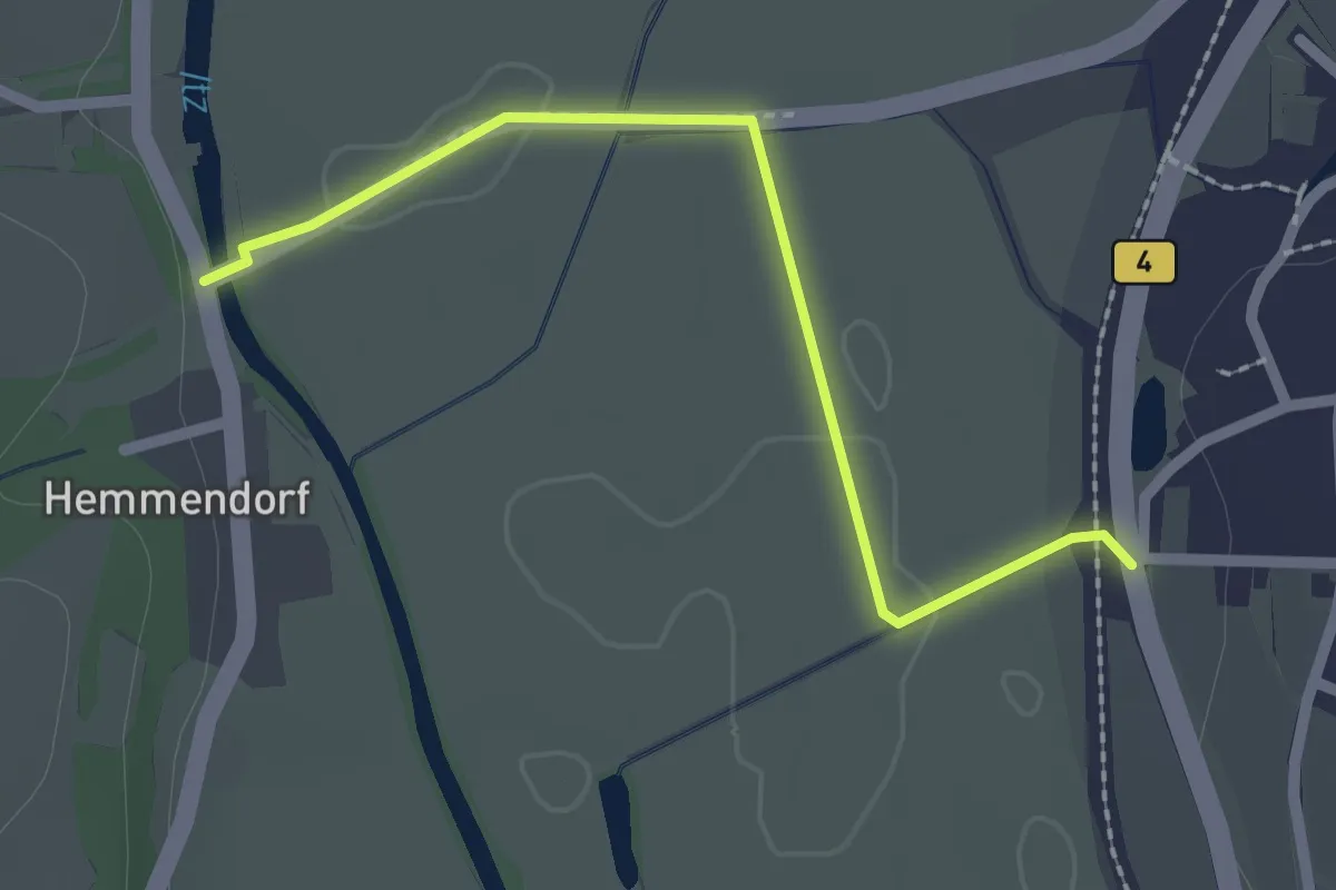
Easy · Trail
Freiberger Panoramaweg
2.1 km · ↑ 9 m · 30 min
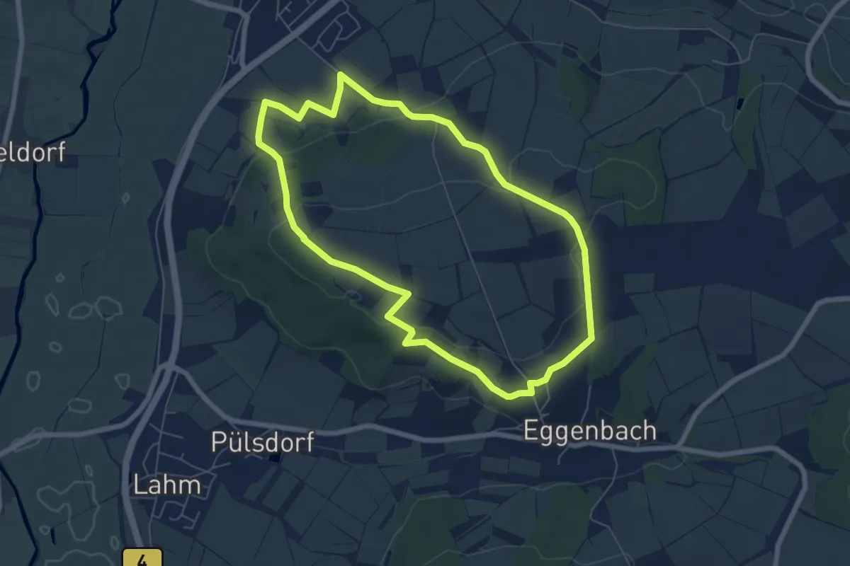
Easy · Trail
Freiberger Runde
5.8 km · ↑ 130 m · 1 h 44 min
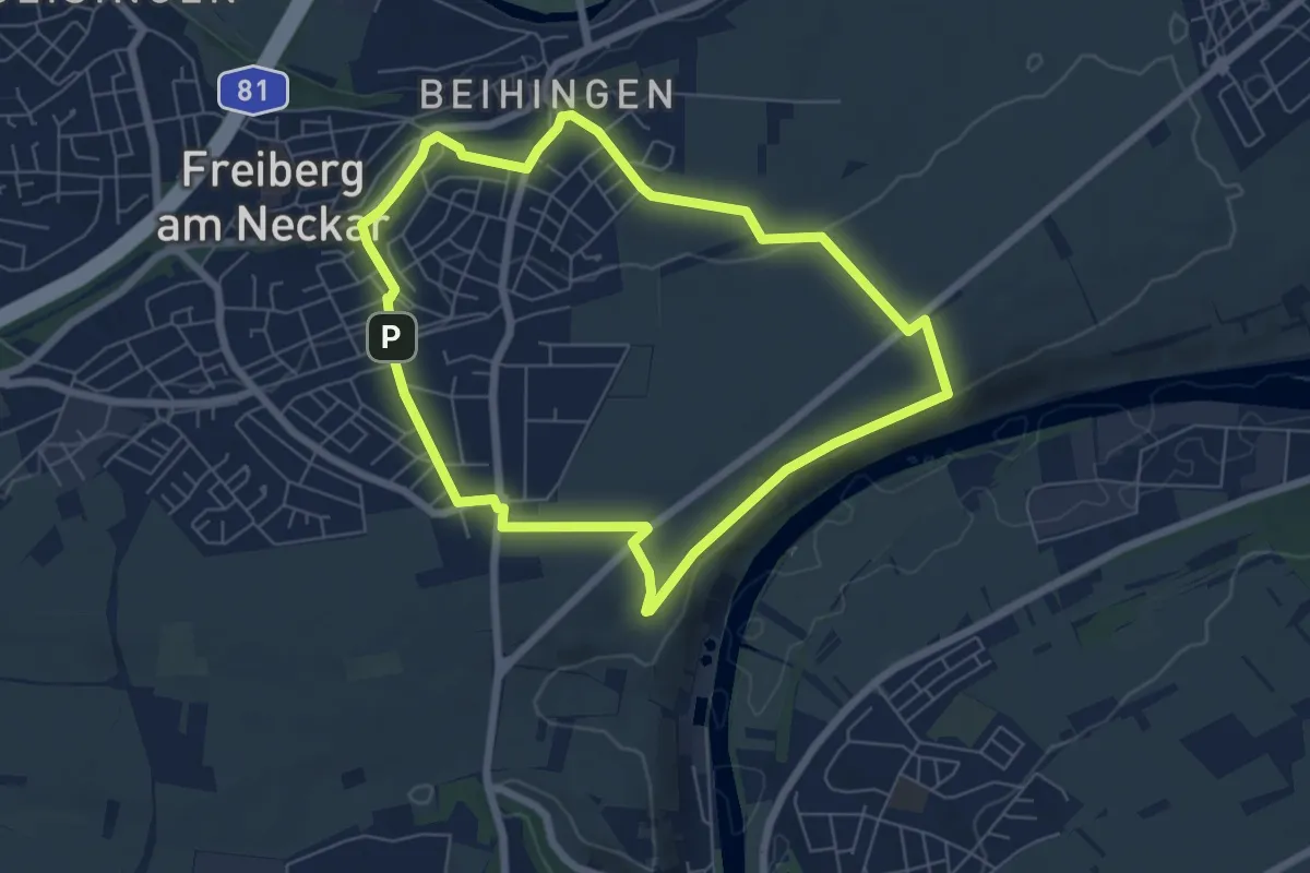
Easy · Trail
Freiberger Rundwanderweg 1
5.9 km · ↑ 85 m · 1 h 39 min
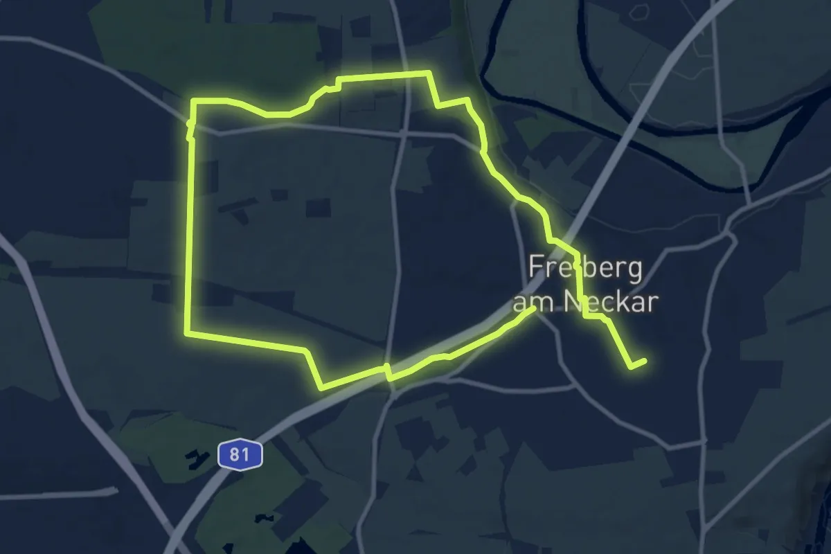
Medium · Trail
Freiberger Rundwanderweg 3
8.3 km · ↑ 119 m · 2 h 19 min
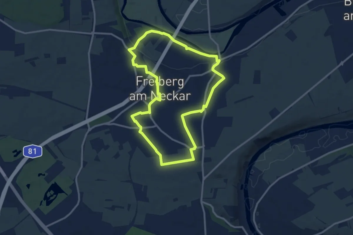
Easy · Trail
Freiberger Rundwanderweg 4
7.7 km · ↑ 108 m · 2 h 10 min
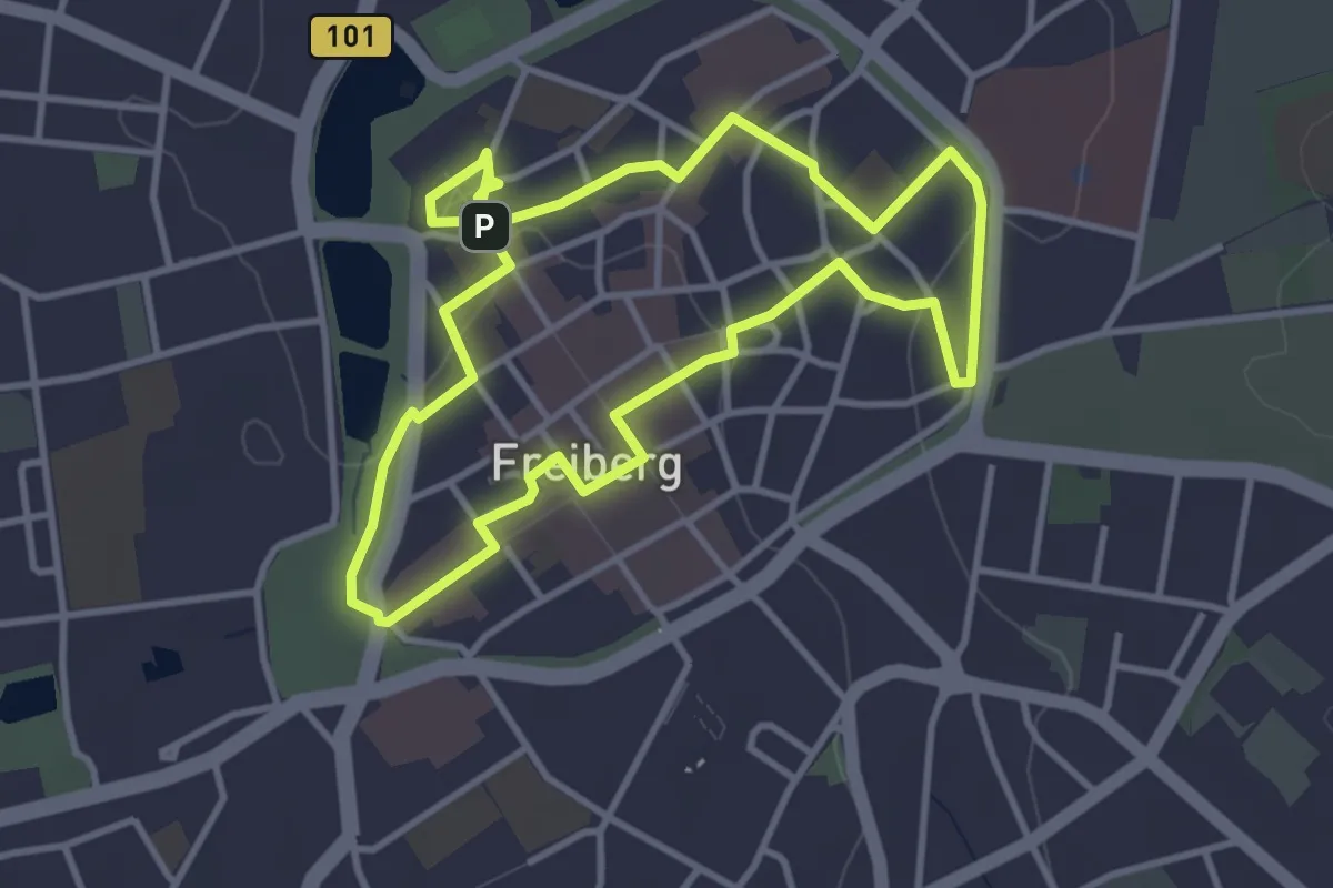
Easy · Trail
Freiberger Silberweg
3.3 km · ↑ 26 m · 53 min
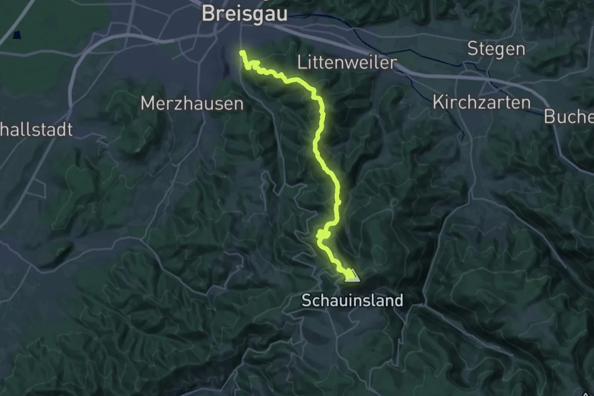
Demanding · Summit
Freiburg - Bonndorf
27.1 km · ↑ 1379 m · 9 h 24 min
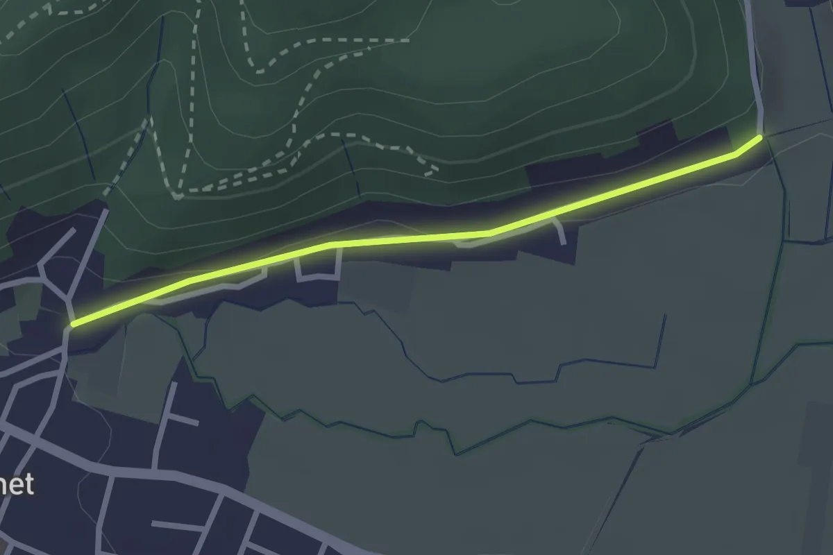
Easy · Trail
Freiburg-Ebnet Kirche - Eingang Welchental
2.2 km · ↑ 30 m · 35 min
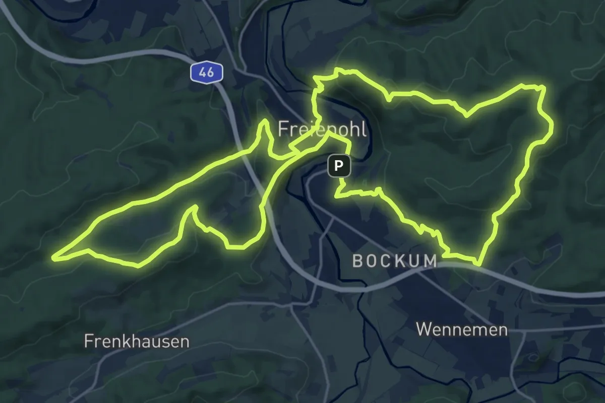
Demanding · Summit
Freienohler Rundweg
19.9 km · ↑ 577 m · 6 h 13 min
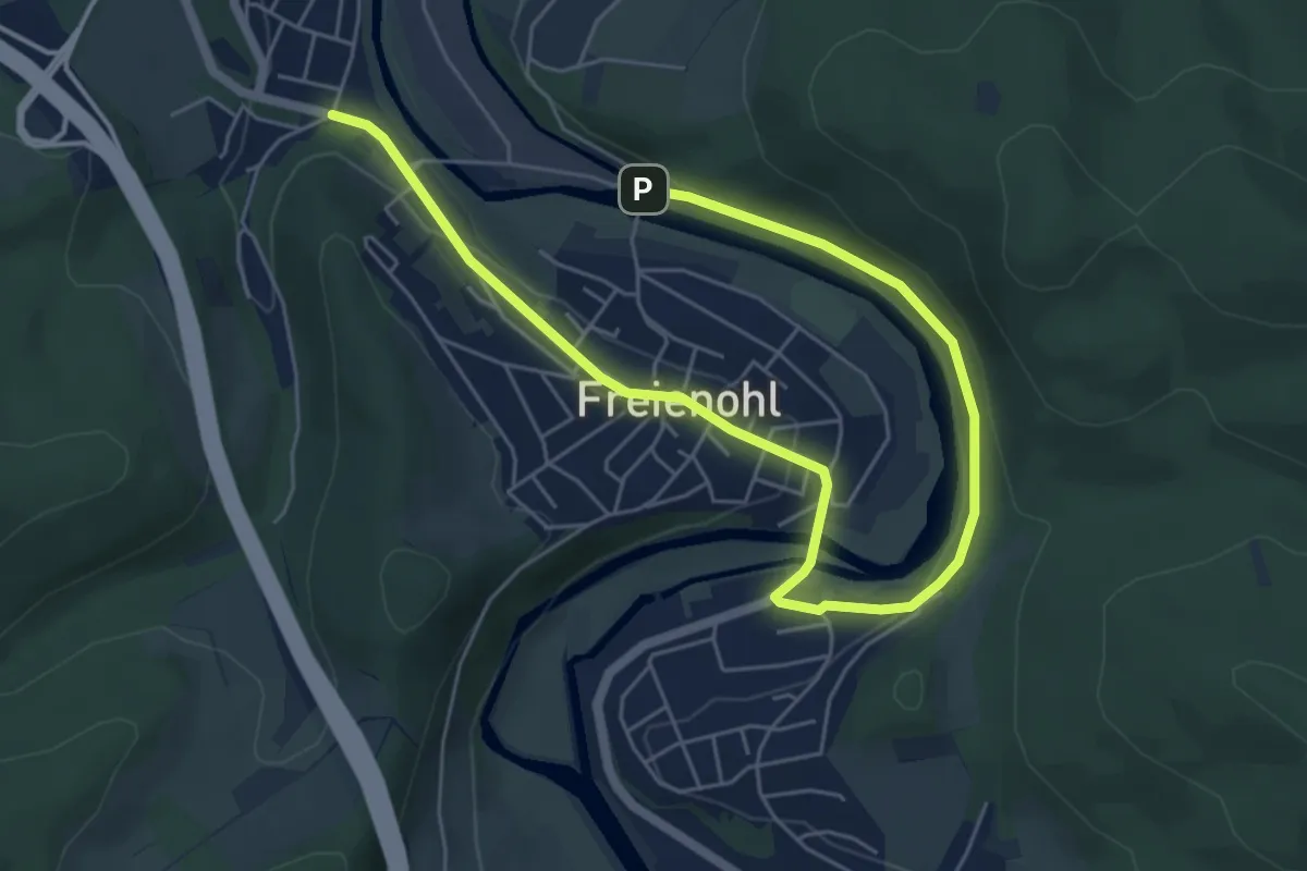
Easy · Trail
Freienohl Rundweg F1
7.0 km · ↑ 152 m · 2 h
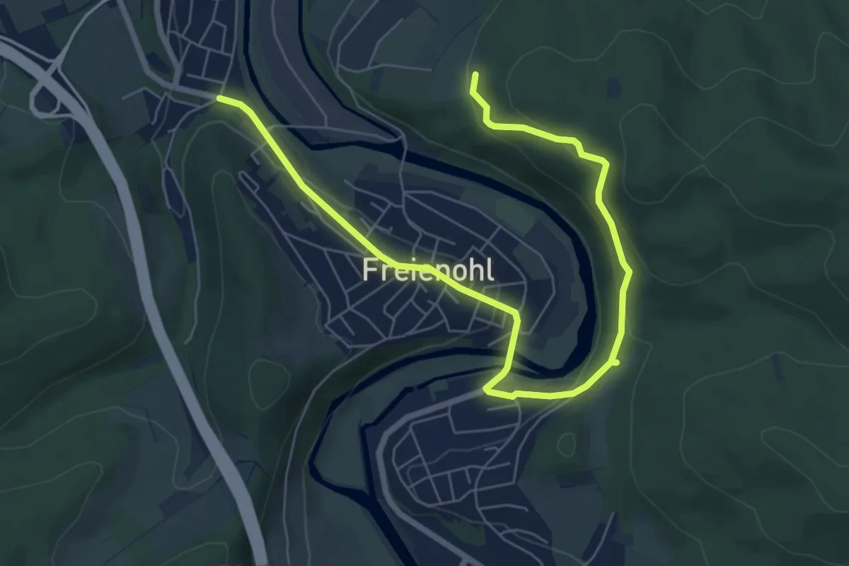
Easy · Trail
Freienohl Rundweg F2
7.6 km · ↑ 286 m · 2 h 25 min
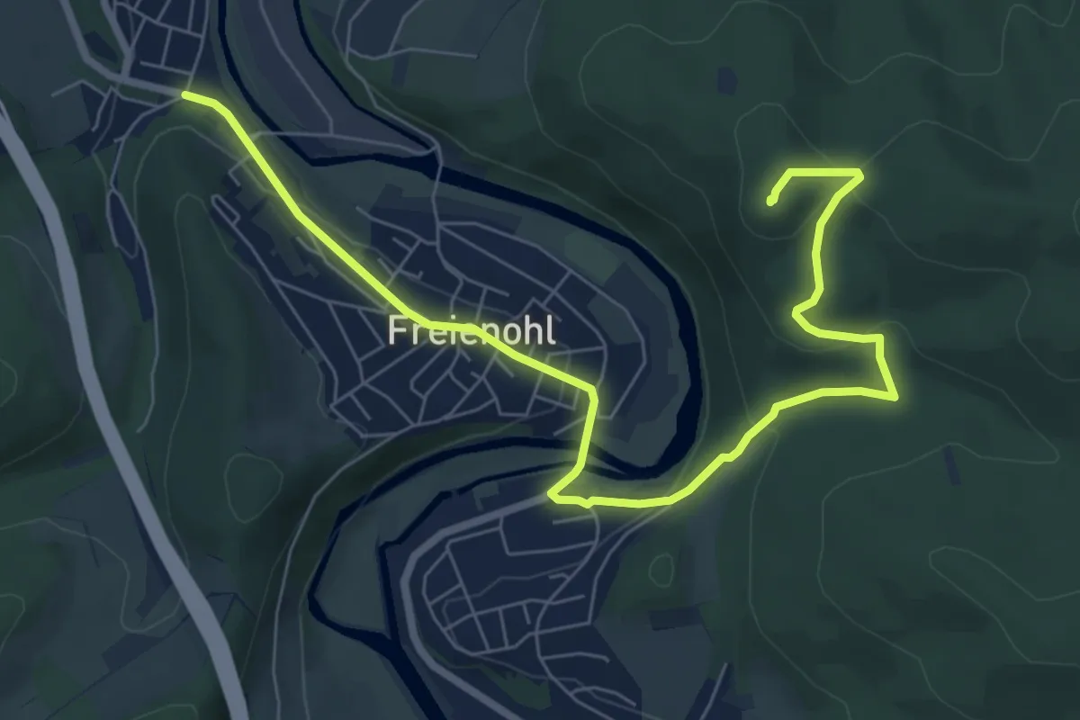
Medium · Summit
Freienohl Rundweg F3
8.0 km · ↑ 235 m · 2 h 24 min
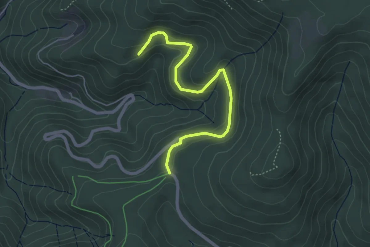
Easy · Trail
Freiersberg - Palmspringseck
4.3 km · ↑ 159 m · 1 h 21 min
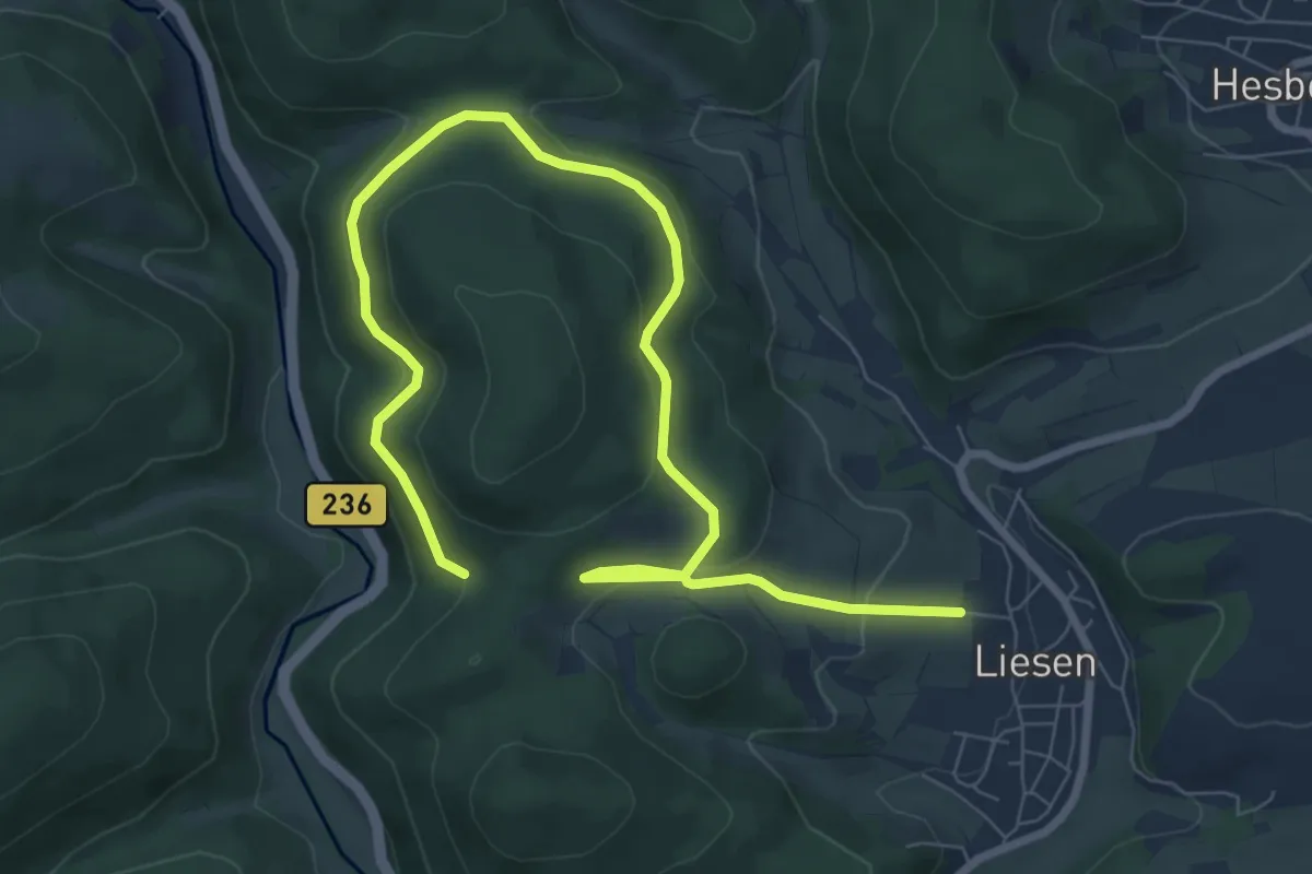
Medium · Trail
Freier Stein Rundweg A3
9.6 km · ↑ 407 m · 3 h 9 min
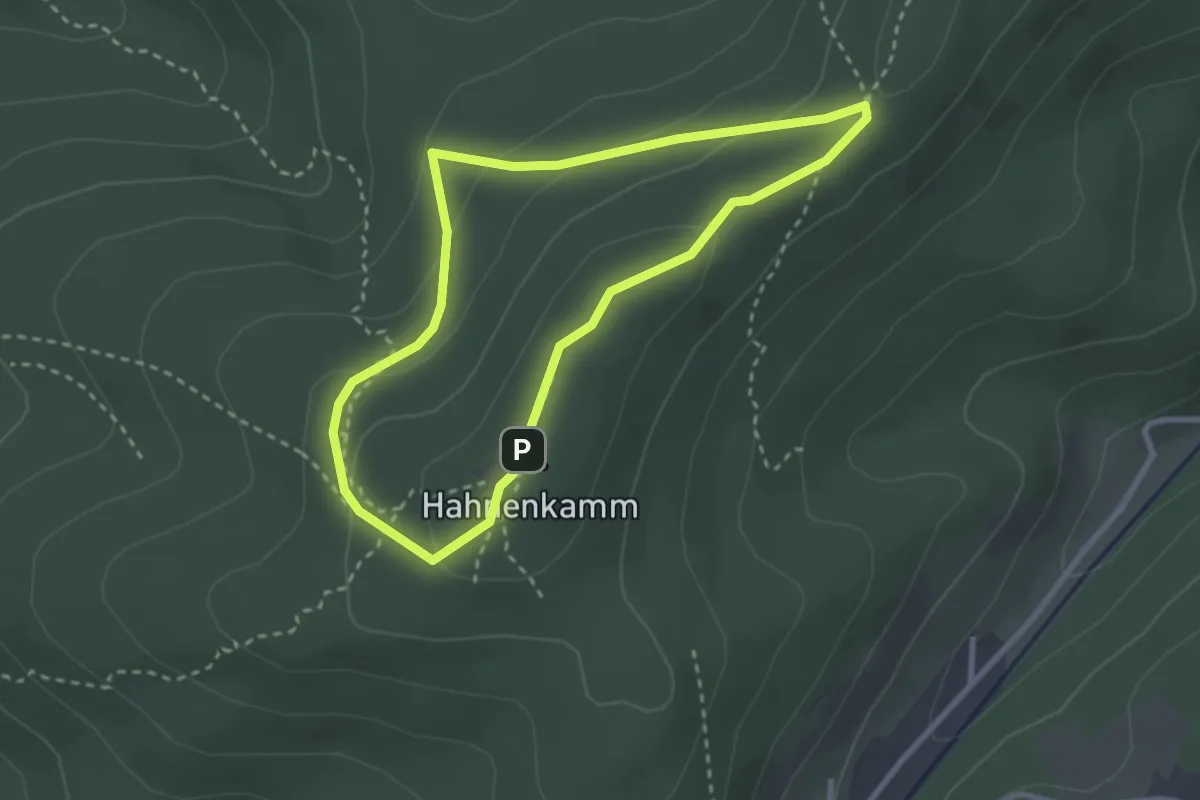
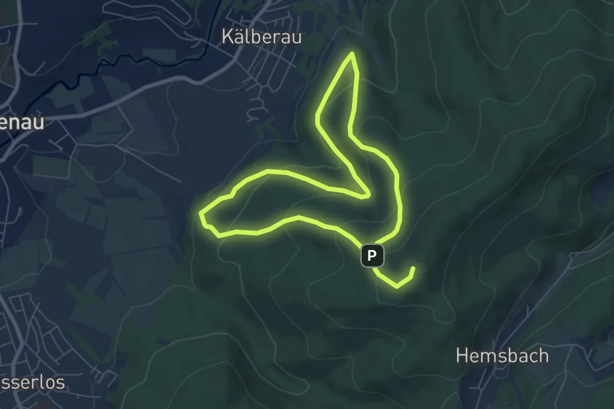
Easy · Summit
Freigerichter Bund Alzenau 1
2.5 km · ↑ 89 m · 49 min
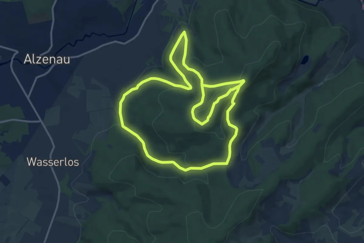
Easy · Summit
Freigerichter Bund Alzenau 2
5.4 km · ↑ 302 m · 1 h 59 min
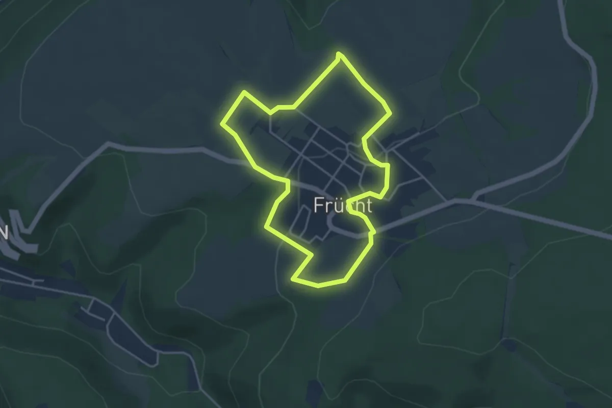
Medium · Summit
Freigerichter Bund Alzenau 3
9.6 km · ↑ 329 m · 3 h 9 min
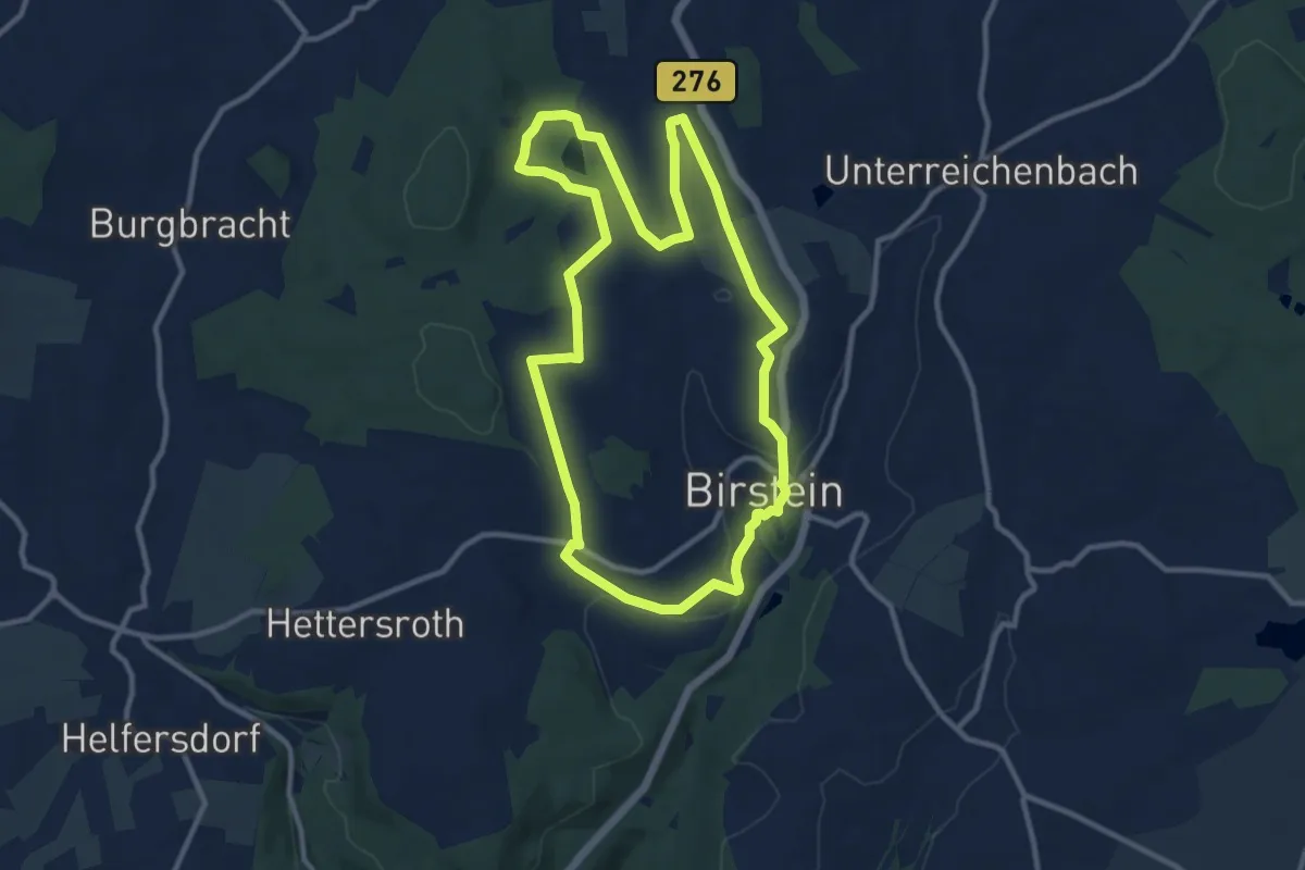
Medium · Summit
Freiherr-vom-Stein-Pfad
3.3 km · ↑ 83 m · 1 h
Medium · Trail
Freihölzer Weg
10.1 km · ↑ 158 m · 2 h 52 min
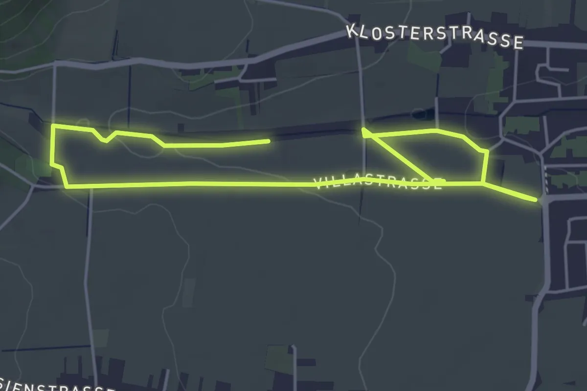
Easy · Trail
Freilichtmuseum "Der historische Weinlehrpfad"
7.1 km · ↑ 63 m · 1 h 48 min
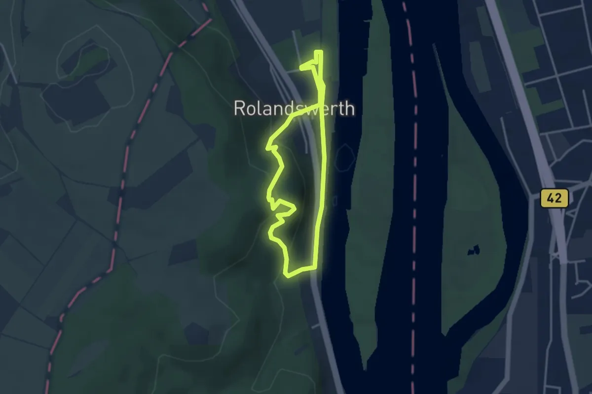
Easy · Trail
Freiligrathweg
2.5 km · ↑ 123 m · 54 min
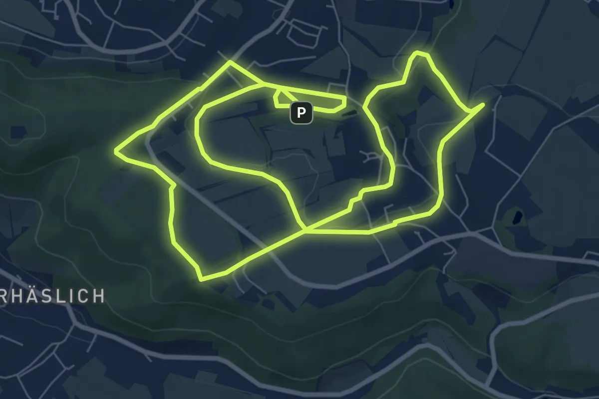
Easy · Trail
Freitaler Rundweg 4
7.5 km · ↑ 128 m · 2 h 8 min
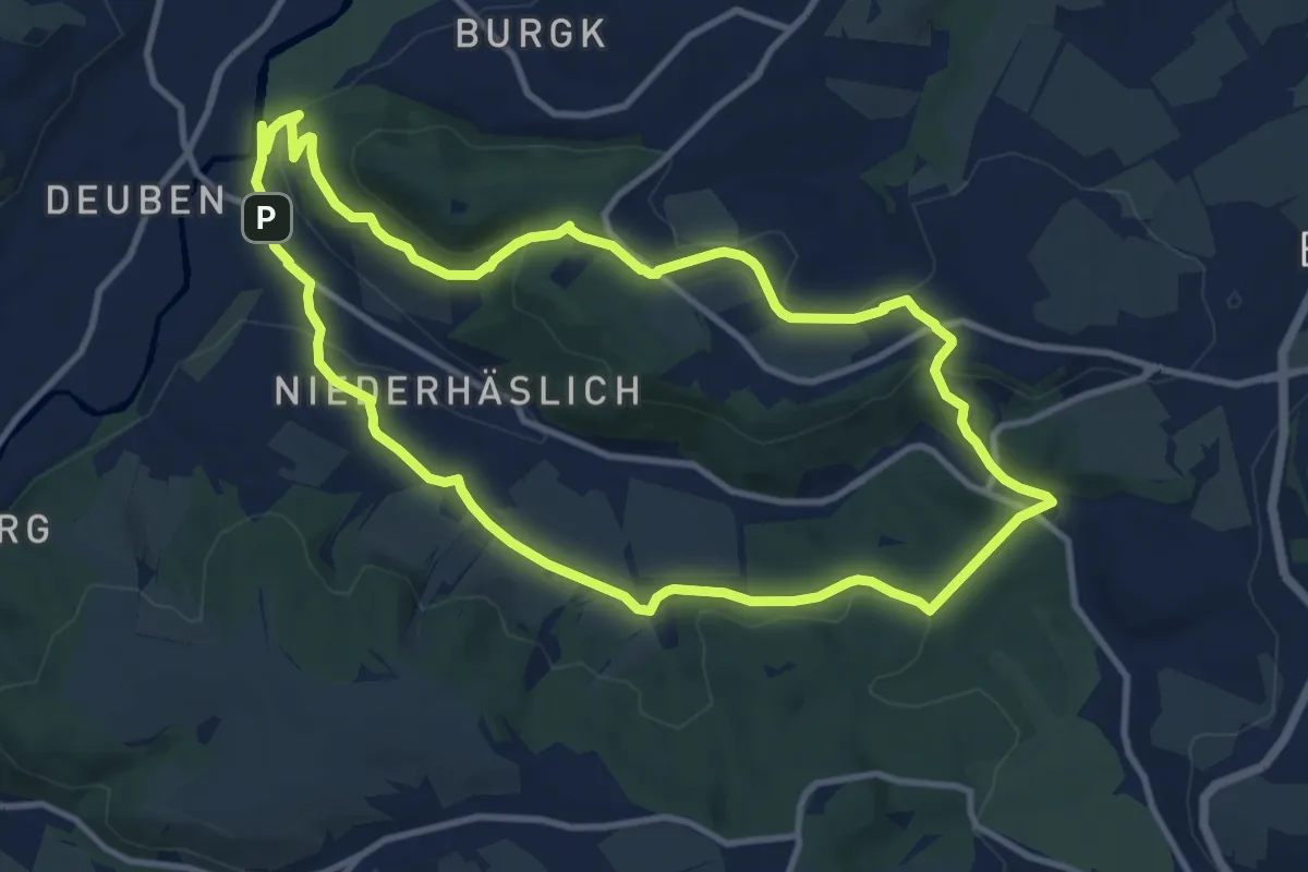
Medium · Trail
Freitaler Rundweg 5
10.0 km · ↑ 212 m · 2 h 57 min
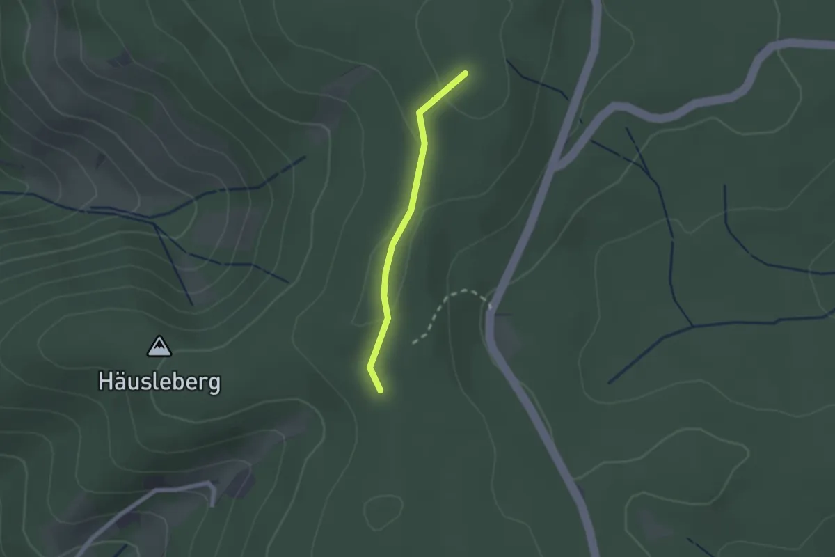
Easy · Summit
Freiwaldkapelle - Kindskreuzle
1.6 km · ↑ 28 m · 26 min
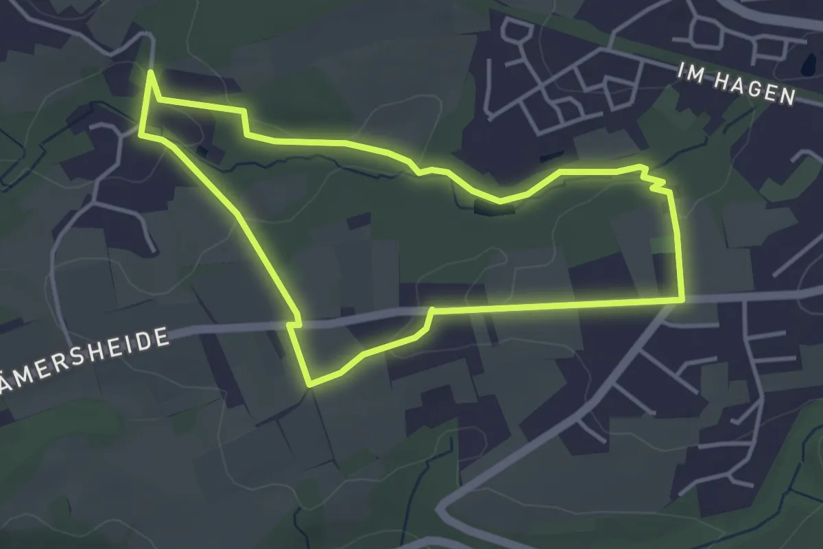
Easy · Trail
Freizeitbad Rundweg A1
3.3 km · ↑ 56 m · 57 min
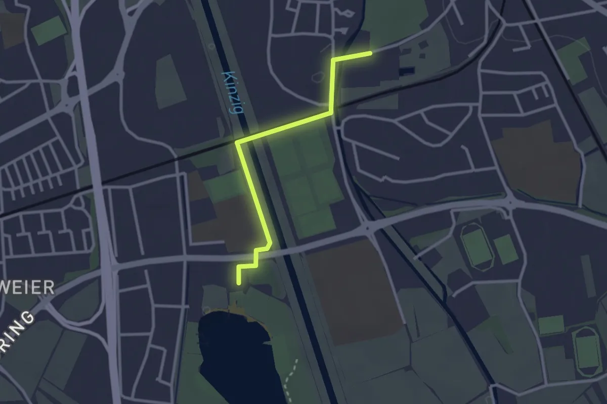
Easy · Trail
Freizeitbad Stegermatt - Gifiz-See
2.4 km · ↑ 0 m · 34 min
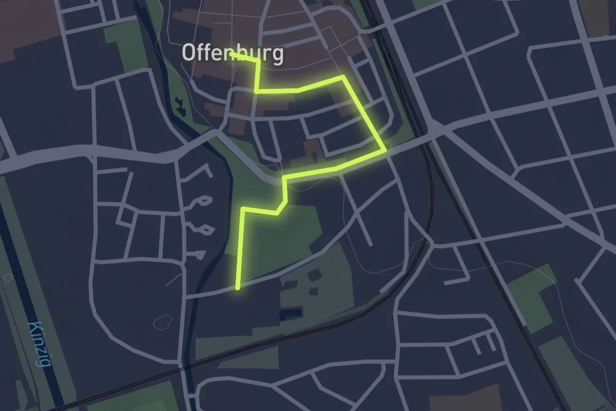
Easy · Trail
Freizeitbad Stegermatt - Offenburg Marktplatz
2.2 km · ↑ 9 m · 33 min
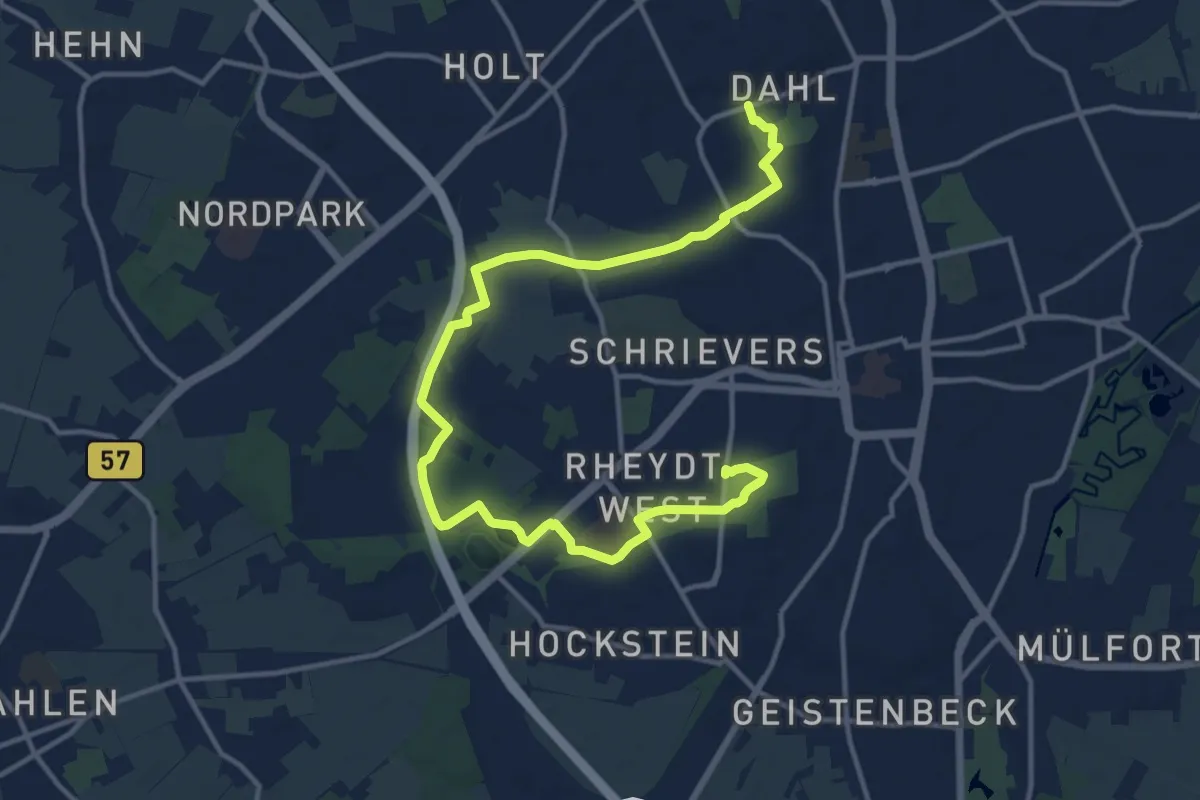
Medium · Trail
Freizeitpark Dahl - Schmölderpark Rheydt
15.4 km · ↑ 42 m · 3 h 43 min
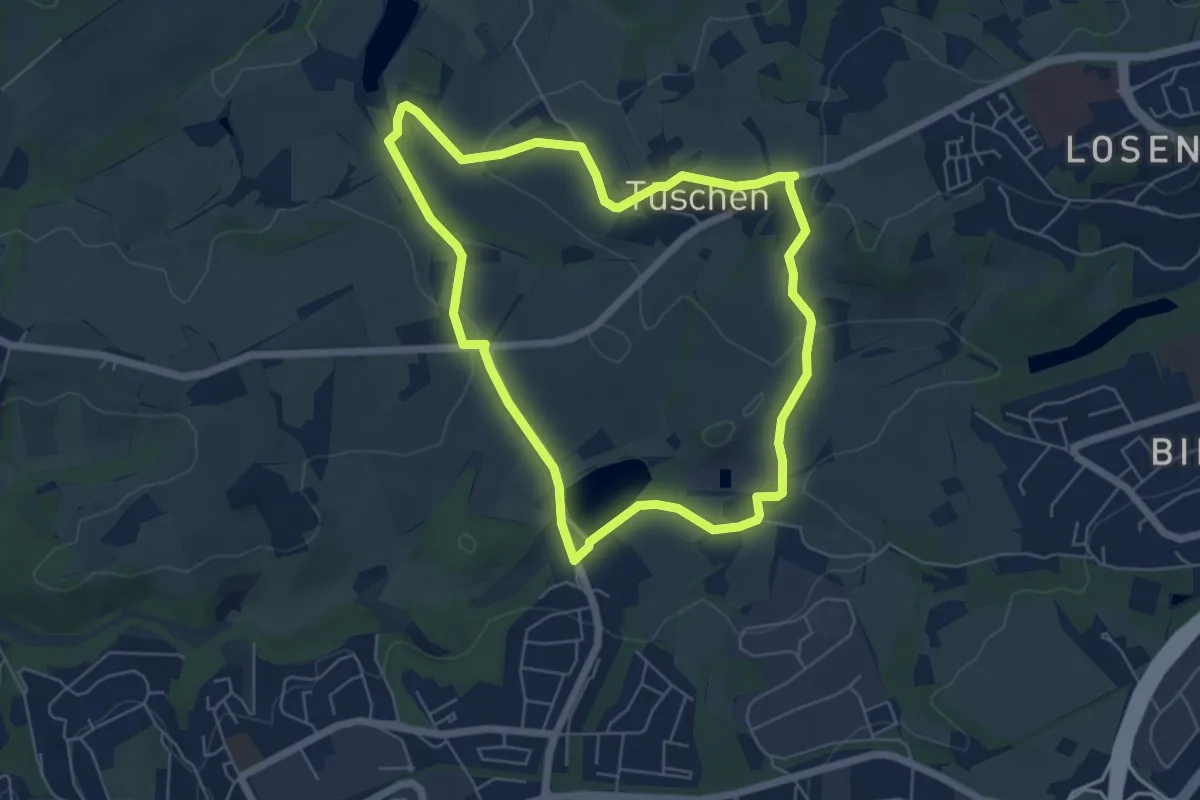
Easy · Trail
Freizeit Rundweg A5
5.2 km · ↑ 87 m · 1 h 29 min
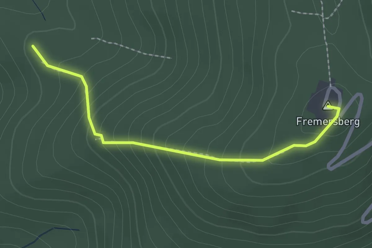
Easy · Summit
Fremersberg - Schauinslandhütte
2.0 km · ↑ 179 m · 51 min
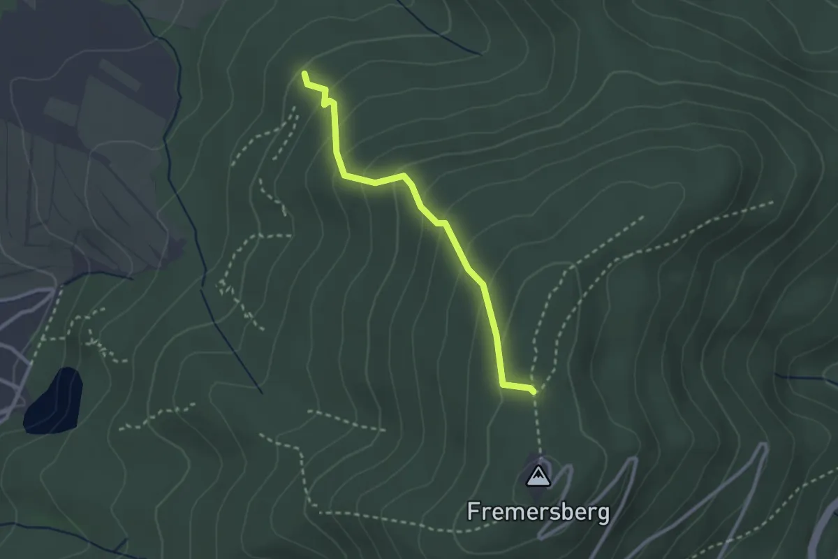
Easy · Trail
Fremersberg - Schleifweg
2.3 km · ↑ 206 m · 1 h
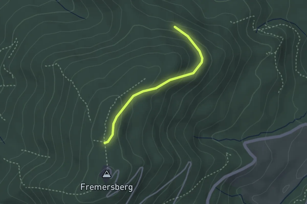
Easy · Trail
Fremersberg - Silbergrube
2.5 km · ↑ 120 m · 51 min
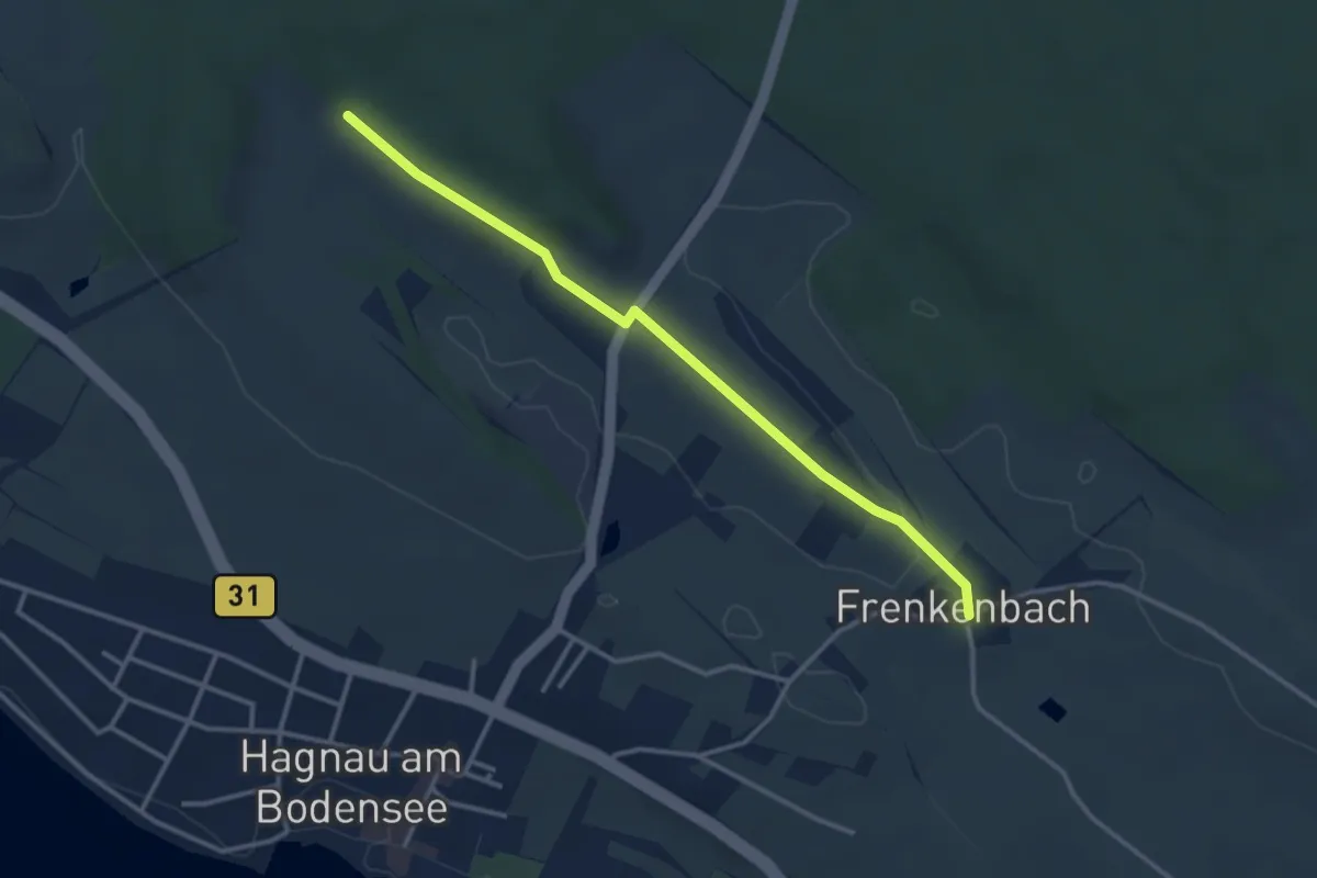
Easy · Trail
Frenkenbach - Stetten
3.3 km · ↑ 27 m · 50 min
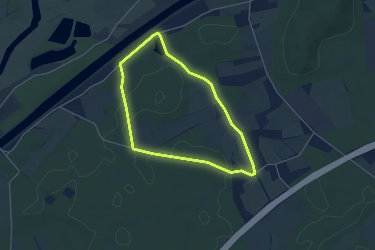
Easy · Trail
Frentruper Mark Rundweg A9
2.9 km · ↑ 17 m · 46 min
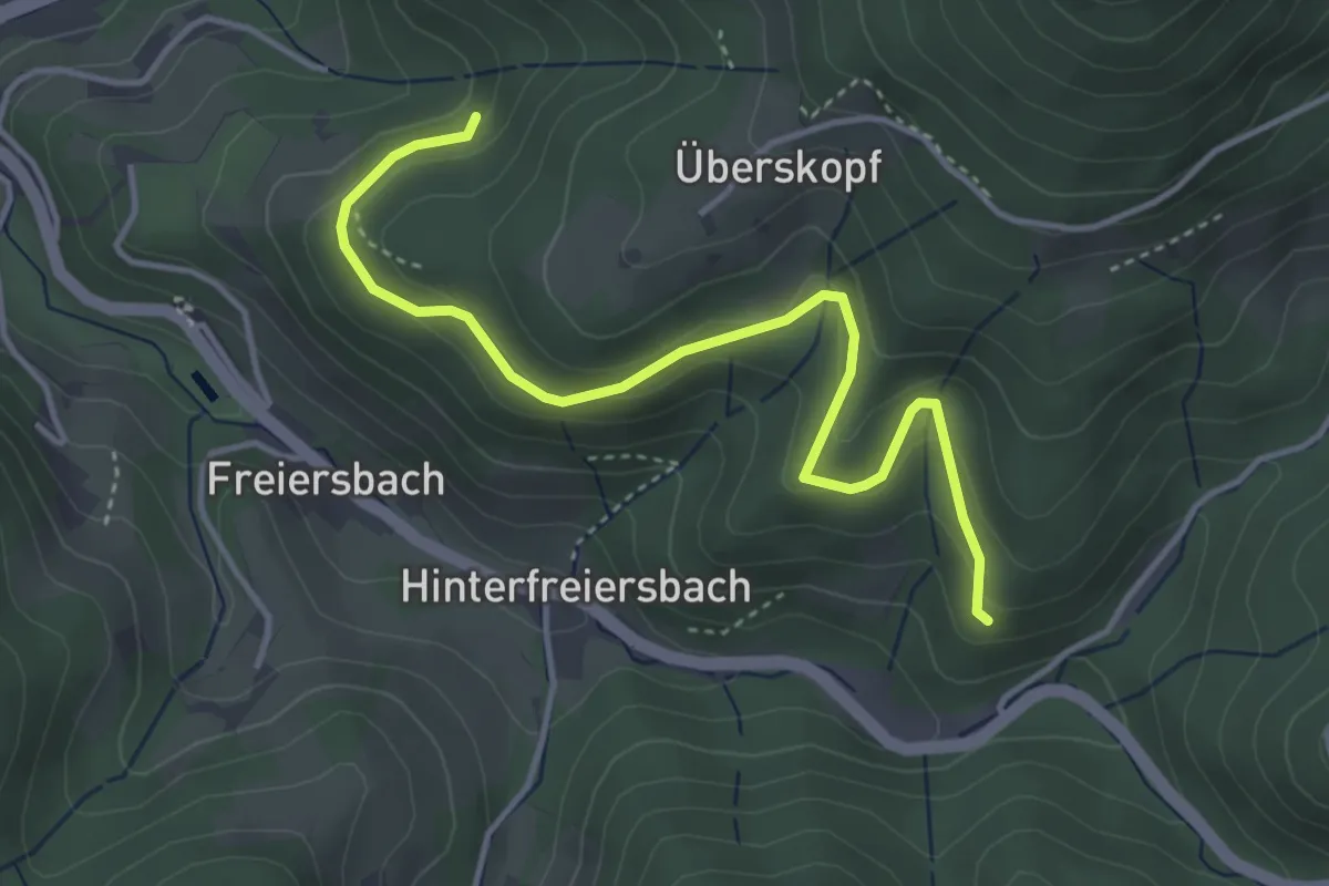
Easy · Trail
Frentzeck - In der Hölle
4.1 km · ↑ 221 m · 1 h 26 min