Trails in Germany
36,852 hiking trails, each with its route, climb, walking time and grade.
All trails, page 173 of 768
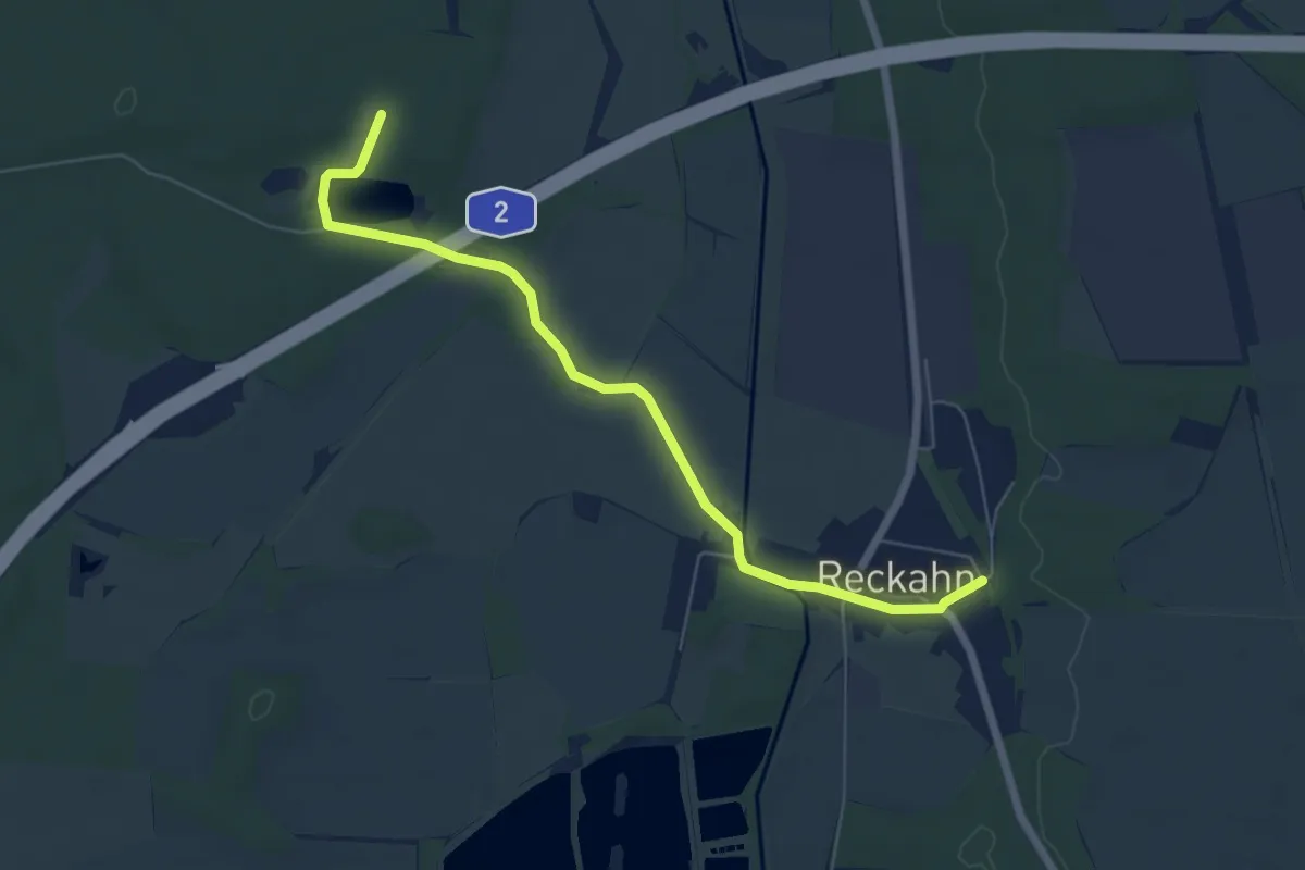
Easy · Trail
Gelber Strich
5.9 km · ↑ 14 m · 1 h 25 min
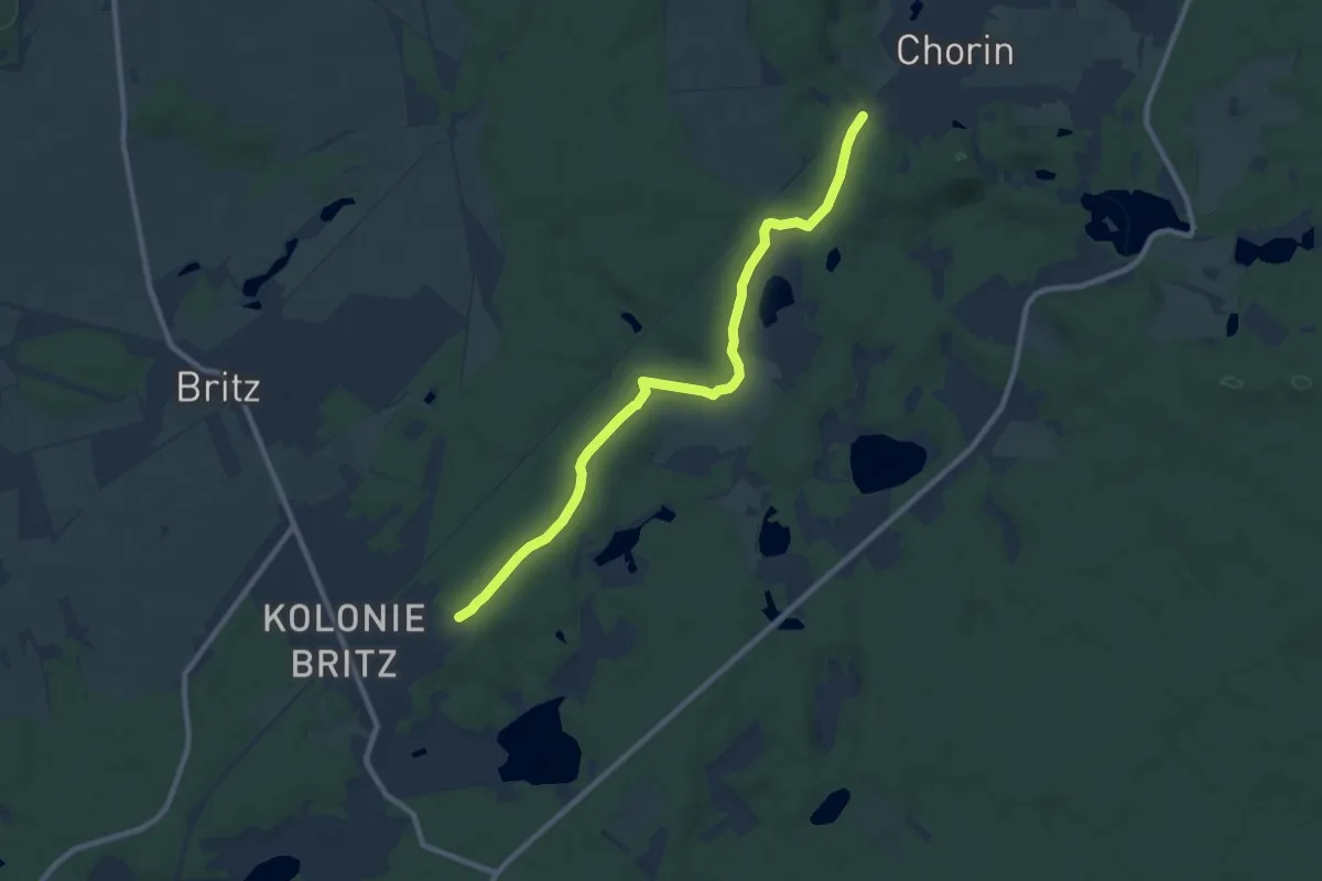
Medium · Trail
Gelber Strich Chorin - Britz
8.4 km · ↑ 100 m · 2 h 12 min
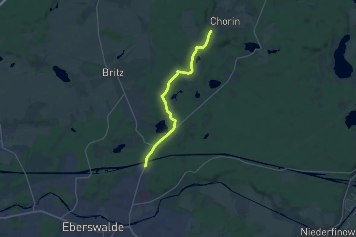
Medium · Trail
Gelber Strich Chorin - Eberswalde
13.7 km · ↑ 142 m · 3 h 32 min
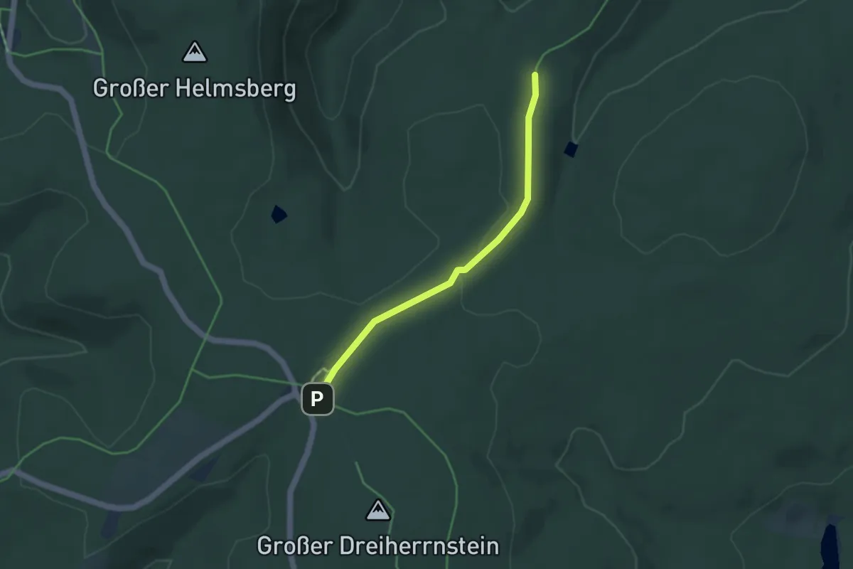
Easy · Trail
Gelber Strich Dreiherrenstein-Oehrenstock
3.3 km · ↑ 44 m · 53 min
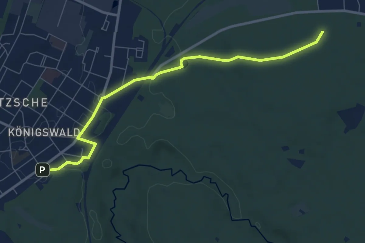
Easy · Summit
Gelber Strich "Dresden - Radeberg - Ullersdorf"
6.7 km · ↑ 53 m · 1 h 42 min
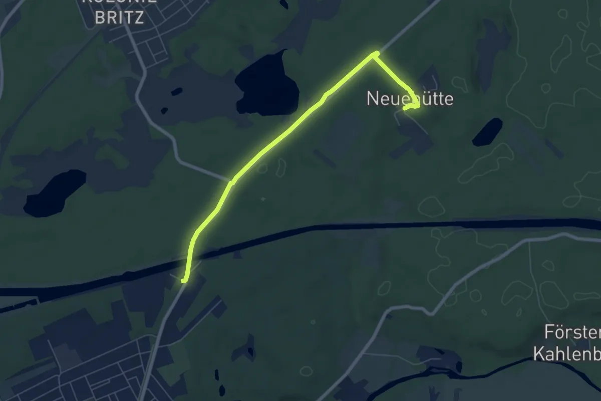
Easy · Trail
Gelber Strich Eberswalde - Neuehütte
5.9 km · ↑ 27 m · 1 h 27 min
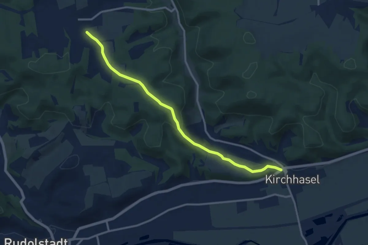
Easy · Trail
Gelber Strich Kirchhasel-Teichweiden
7.7 km · ↑ 175 m · 2 h 12 min
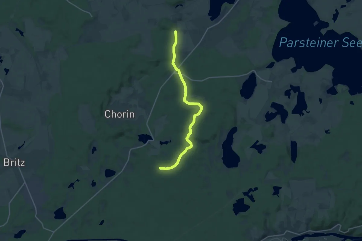
Medium · Trail
Gelber Strich Kloster Chorin - Theerhofen - Senftenhütte
14.3 km · ↑ 143 m · 3 h 42 min
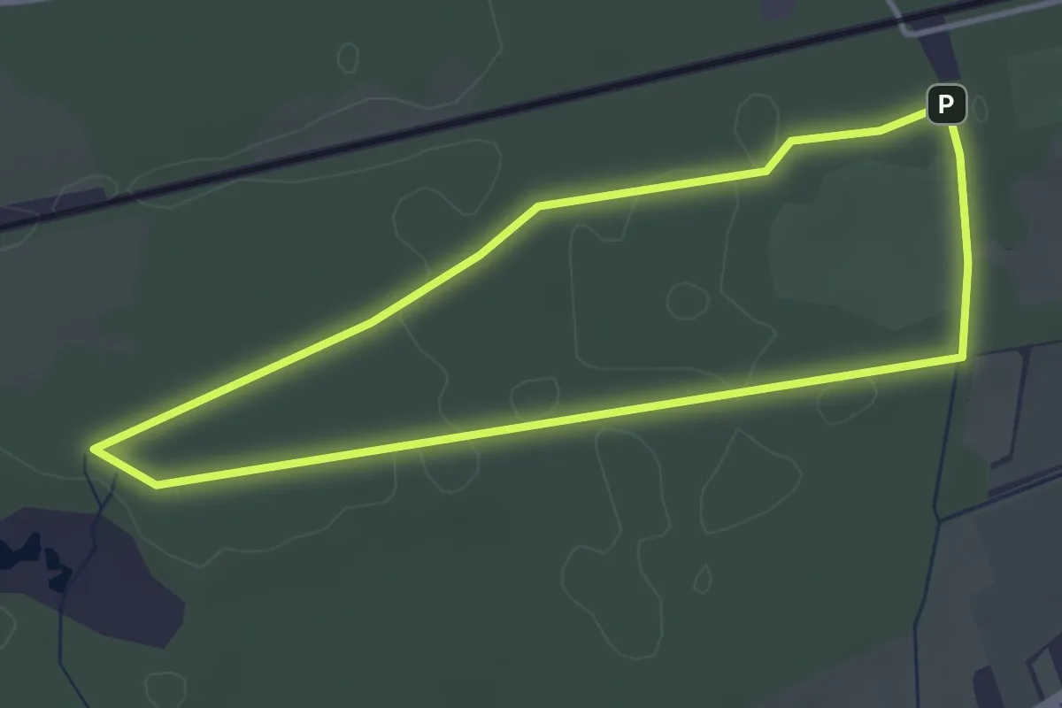
Easy · Trail
Gelber Strich Ringwanderweg am Trimm Dich Pfad.
3.2 km · ↑ 9 m · 48 min
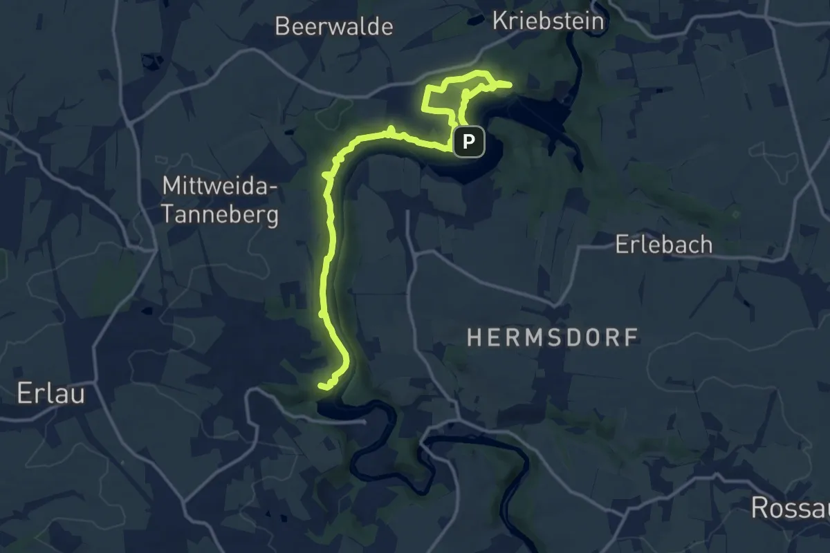
Medium · Summit
Gelber Strich Rundweg, Markierung z.T. mangelhaft
15.1 km · ↑ 684 m · 5 h 3 min
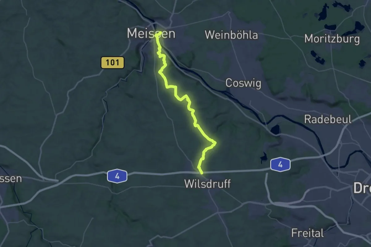
Medium · Trail
Gelber Strich (Scharfenberg - Meißen)
17.3 km · ↑ 322 m · 4 h 58 min
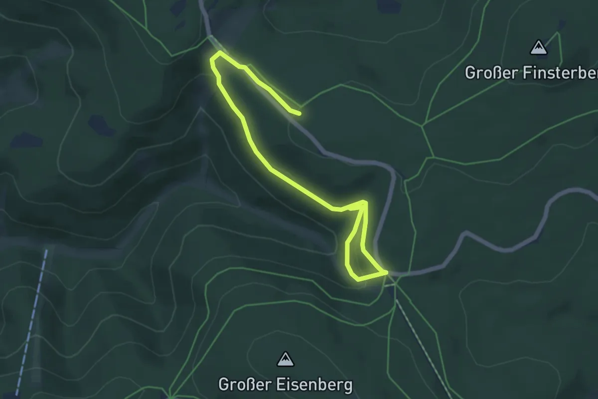
Easy · Trail
Gelber Strich Schmücke
5.8 km · ↑ 223 m · 1 h 50 min
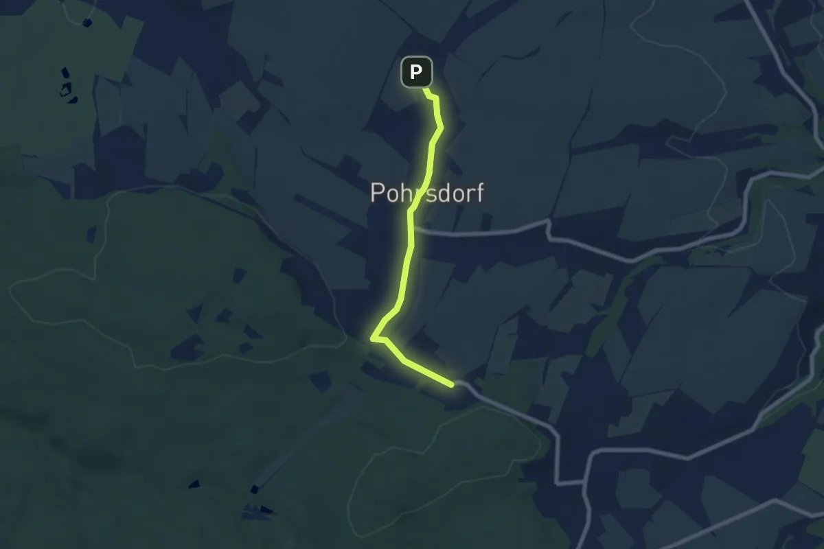
Easy · Trail
Gelber Strich Spechtshausen
5.5 km · ↑ 68 m · 1 h 26 min
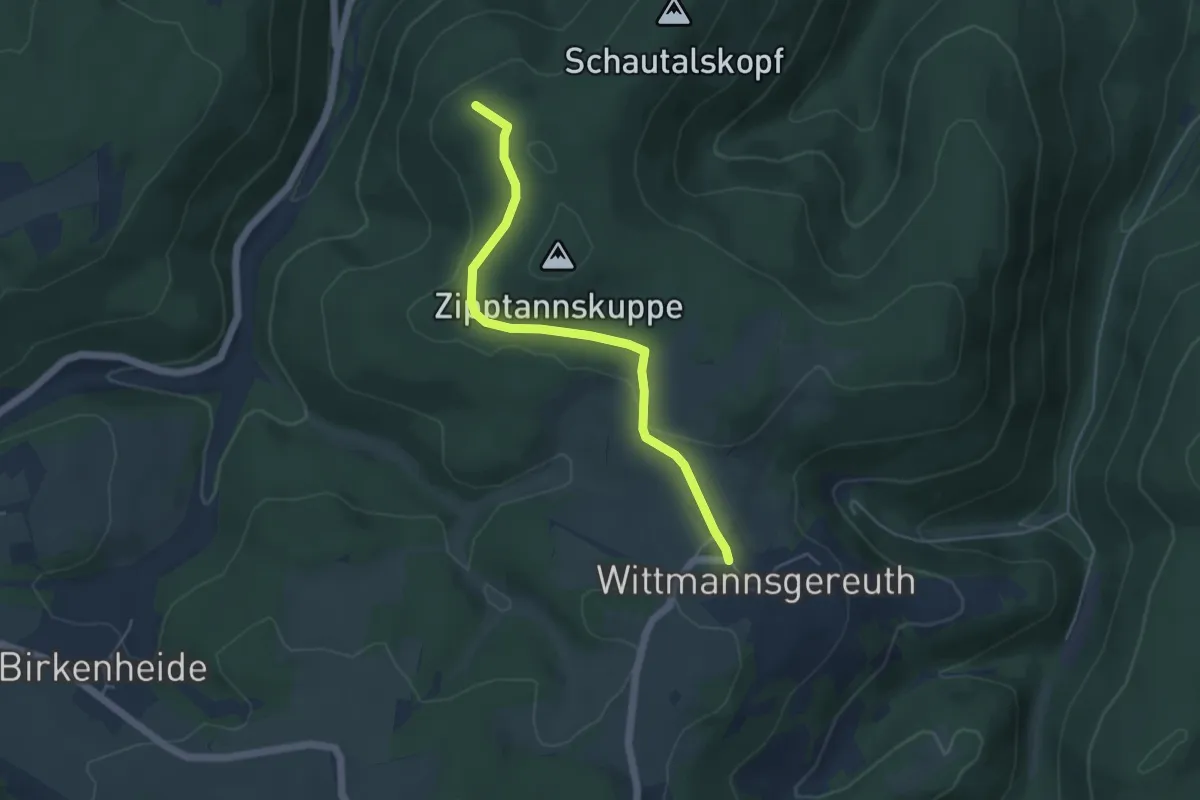
Easy · Summit
Gelber Strich Unterwirbach - Wittmannsgereuth
4.4 km · ↑ 74 m · 1 h 12 min
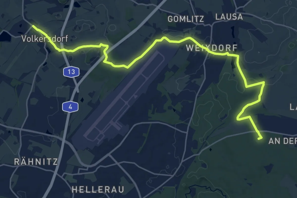
Demanding · Summit
Gelber Strich "Volkersdorf-Weixdorf-Ullersdorf"
20.2 km · ↑ 123 m · 5 h 3 min
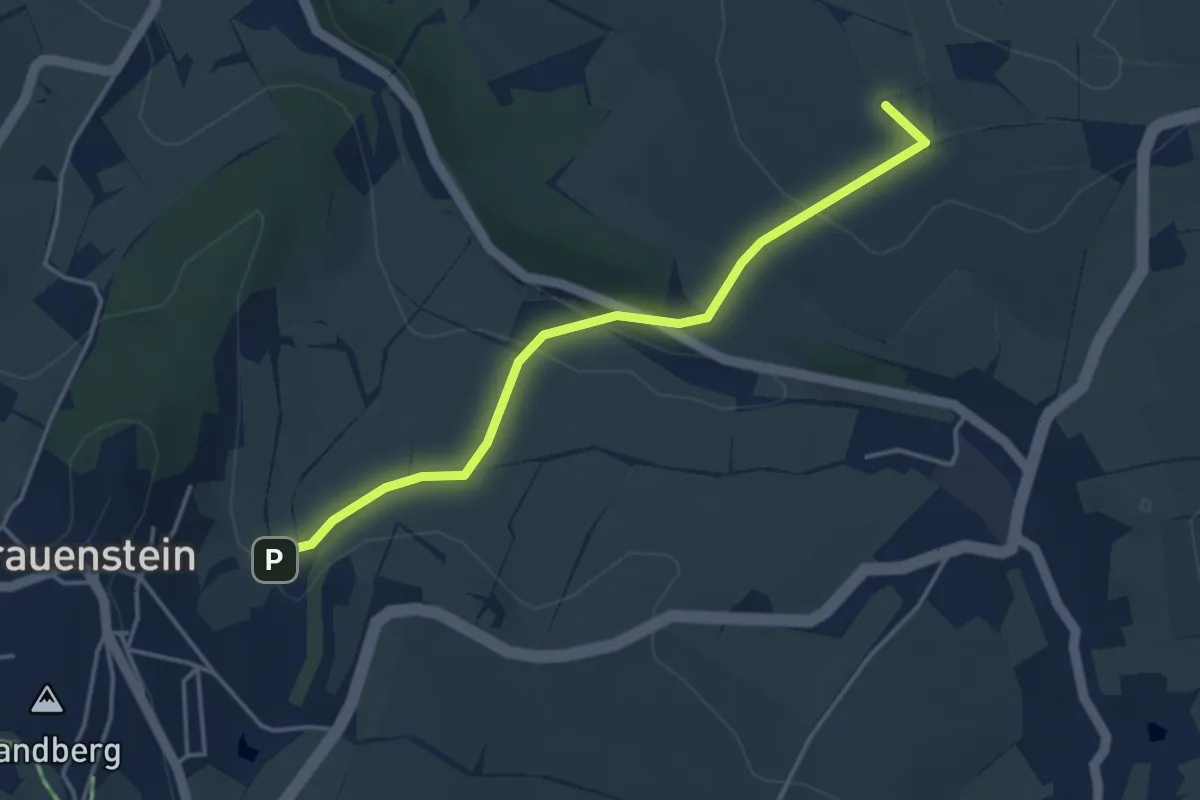
Easy · Summit
Gelber Strich, weißer Grund
3.7 km · ↑ 113 m · 1 h 7 min
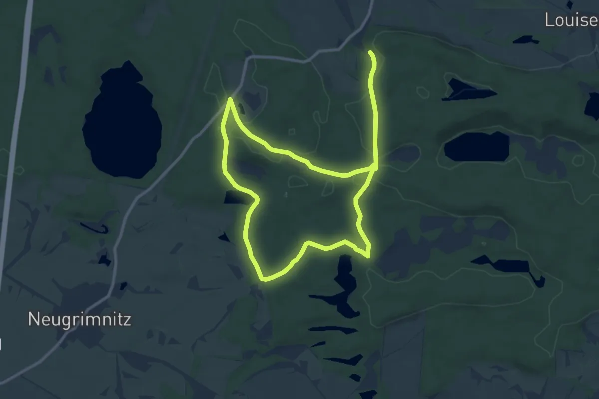
Medium · Trail
Gelbes Buchenblatt
8.1 km · ↑ 83 m · 2 h 12 min
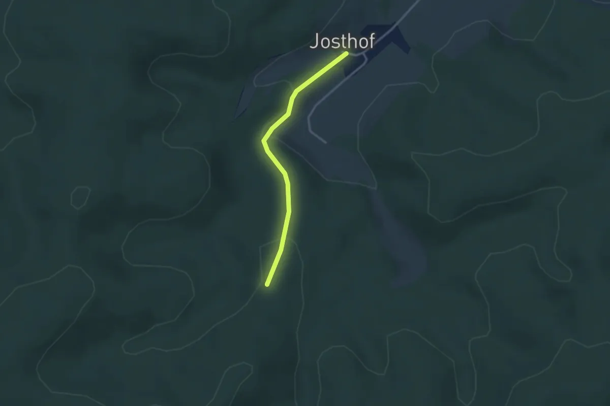
Easy · Trail
gelbes Dreieck
2.3 km · ↑ 72 m · 42 min
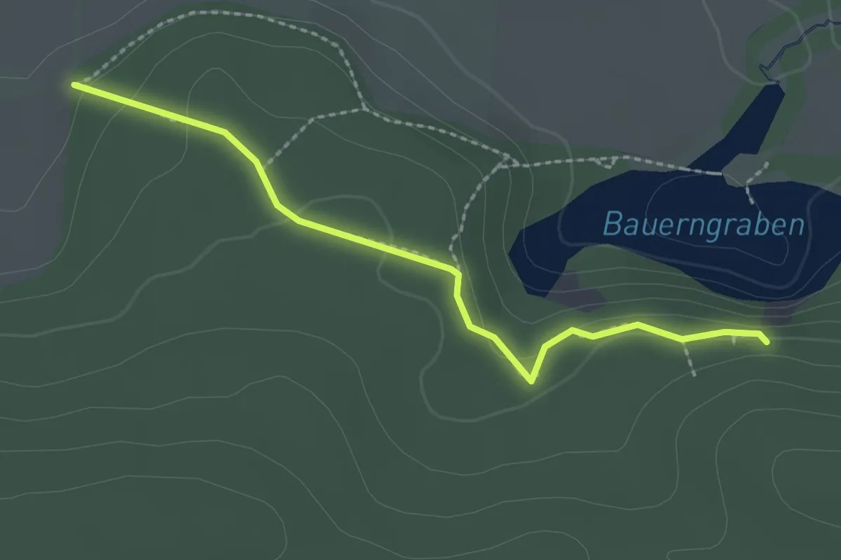
Medium · Trail
Gelbes Dreieck
2.1 km · ↑ 40 m · 35 min
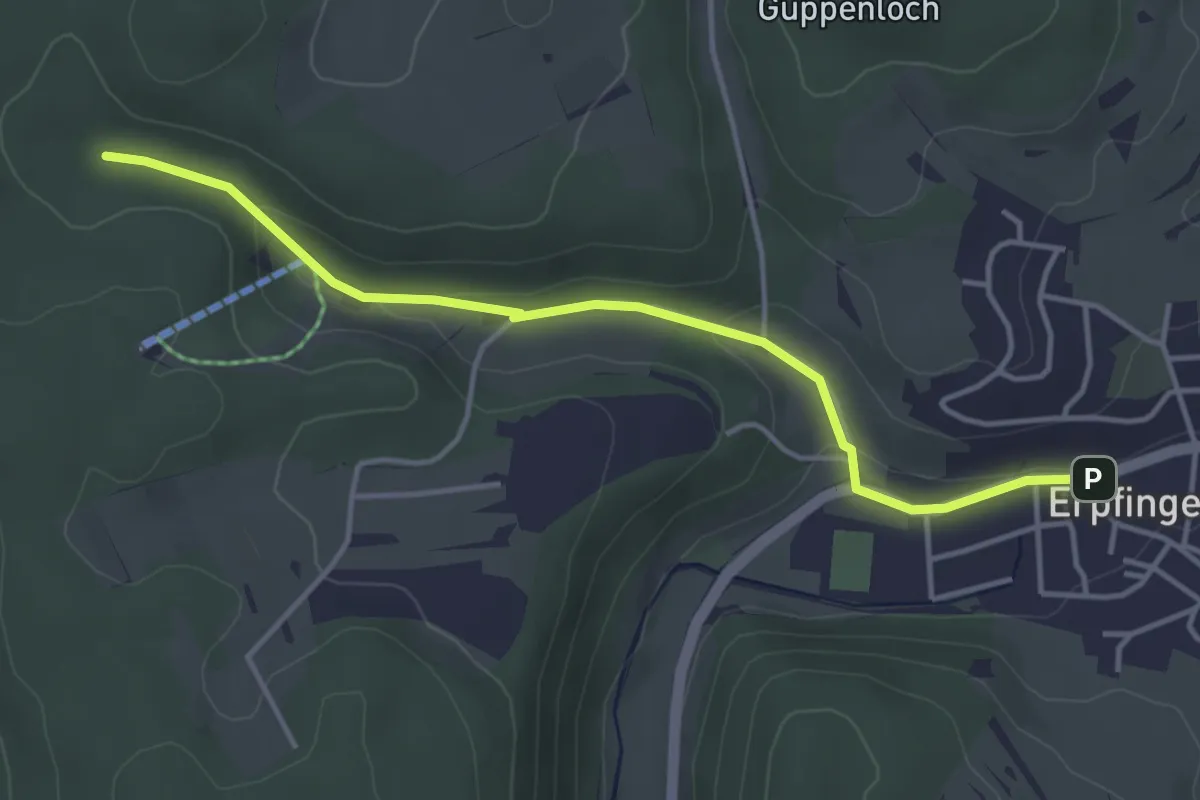
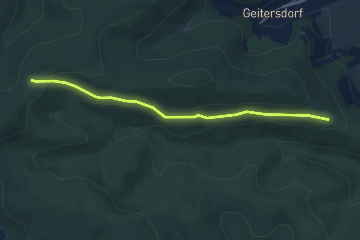
Easy · Trail
gelbes Dreieck Erpfingen
4.0 km · ↑ 79 m · 1 h 7 min
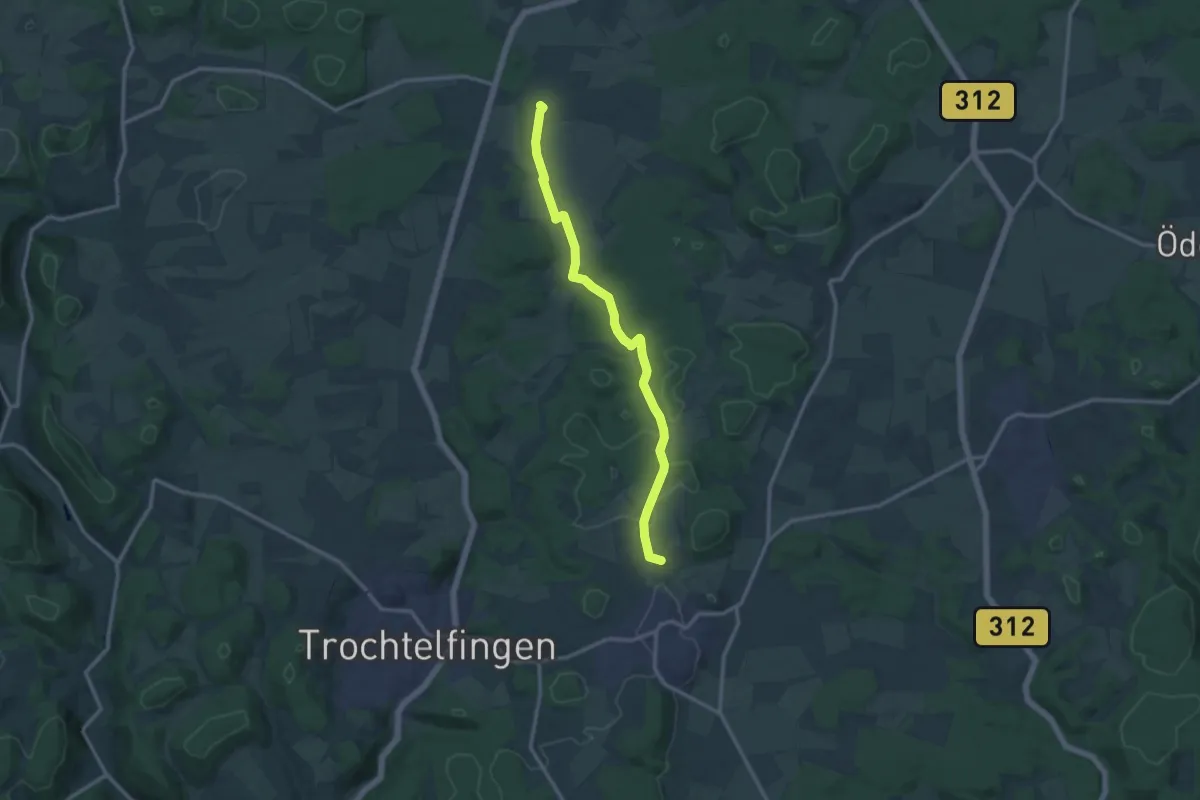
Easy · Trail
Gelbes Dreieck - Frankenstieg
4.6 km · ↑ 186 m · 1 h 29 min
Medium · Summit
gelbes Dreieck Haid - Steinhilben
12.2 km · ↑ 182 m · 3 h 17 min
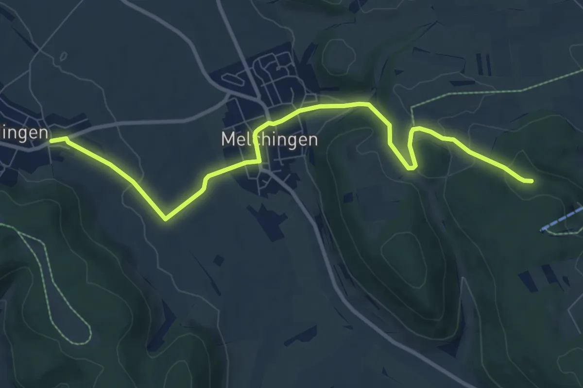
Medium · Trail
gelbes Dreieck Melchingen - Salmendingen
8.9 km · ↑ 158 m · 2 h 27 min
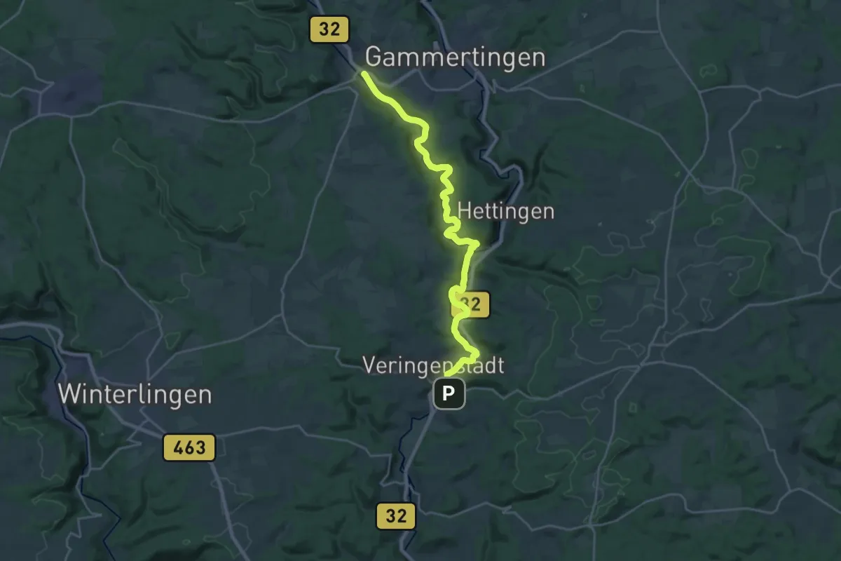
Demanding · Trail
gelbes Dreieck Neufra Hermentingen Veringenstadt
23.0 km · ↑ 366 m · 6 h 14 min
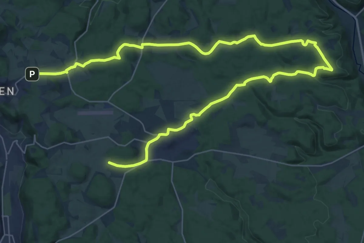
Demanding · Trail
gelbes Dreieck Neuweiler - Ruine Lichtenstein - Bitz
19.3 km · ↑ 331 m · 5 h 33 min
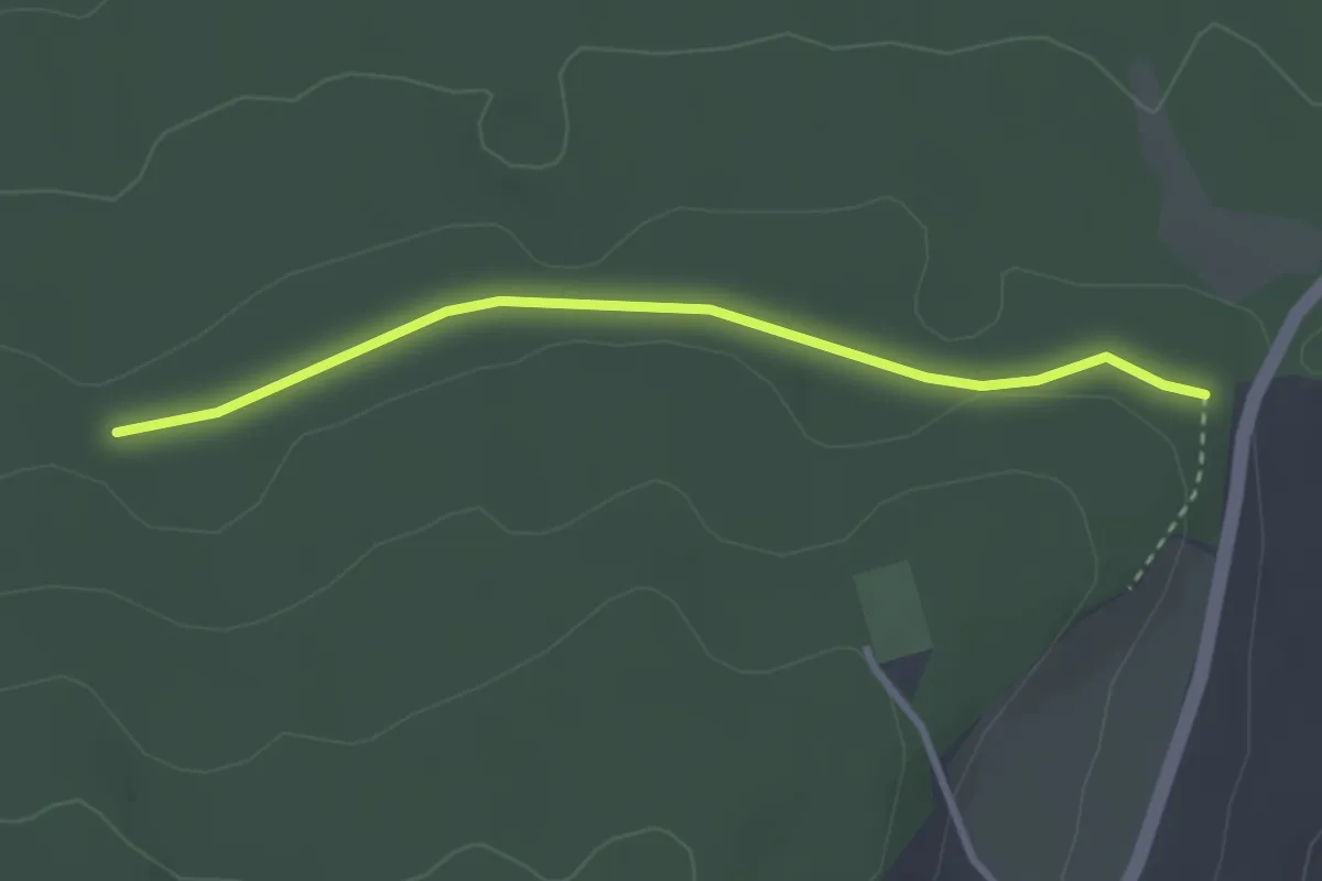
Easy · Trail
Gelbes Dreieck, Pennewitz
2.7 km · ↑ 52 m · 45 min
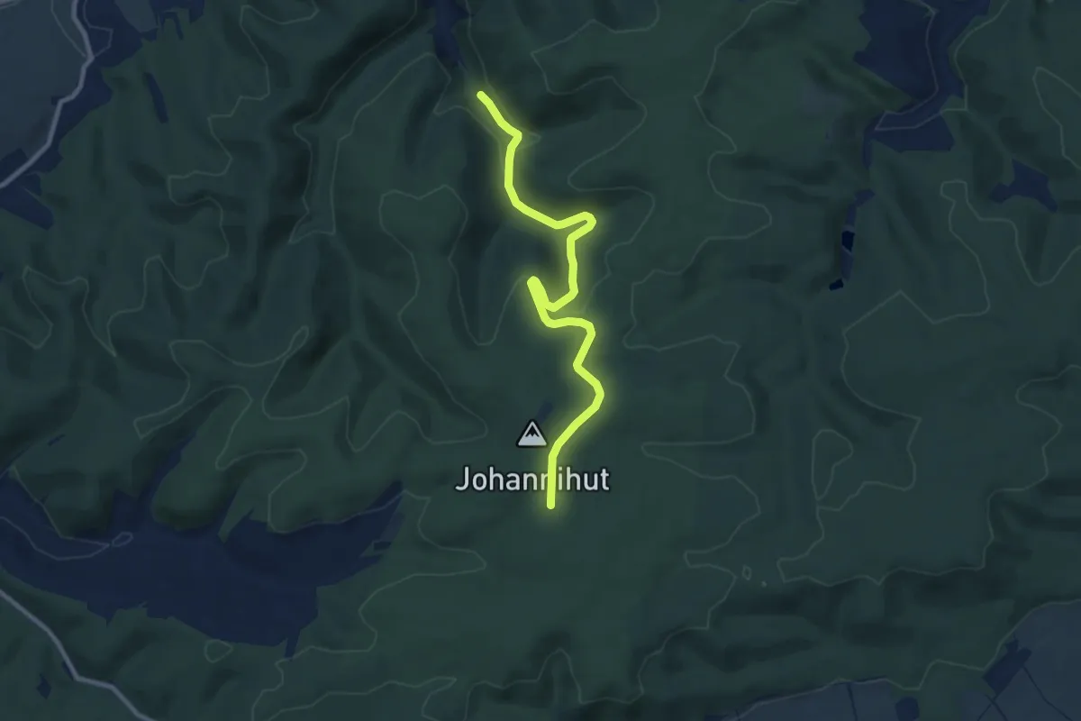
Medium · Trail
Gelbes Dreieck Uhlstädter Heide
8.8 km · ↑ 204 m · 2 h 31 min
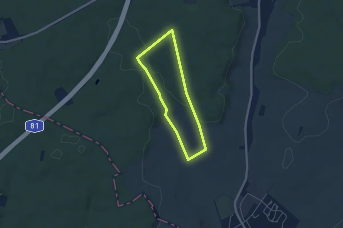
Easy · Trail
Gelbes Eichhörnchen - Kleinrinderfeld
3.1 km · ↑ 57 m · 54 min
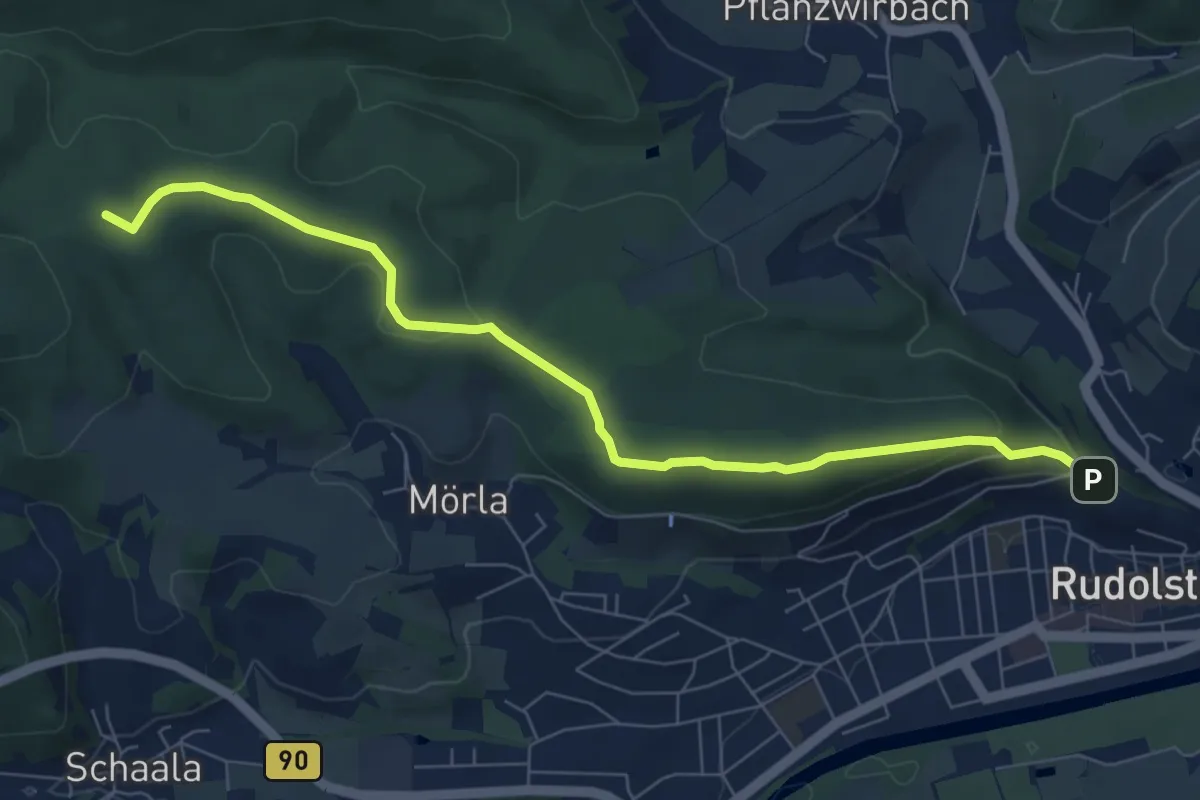
Easy · Summit
Gelbes Quadrat auf weißem Grund (Rudolstadt-Remda)
7.3 km · ↑ 183 m · 2 h 7 min
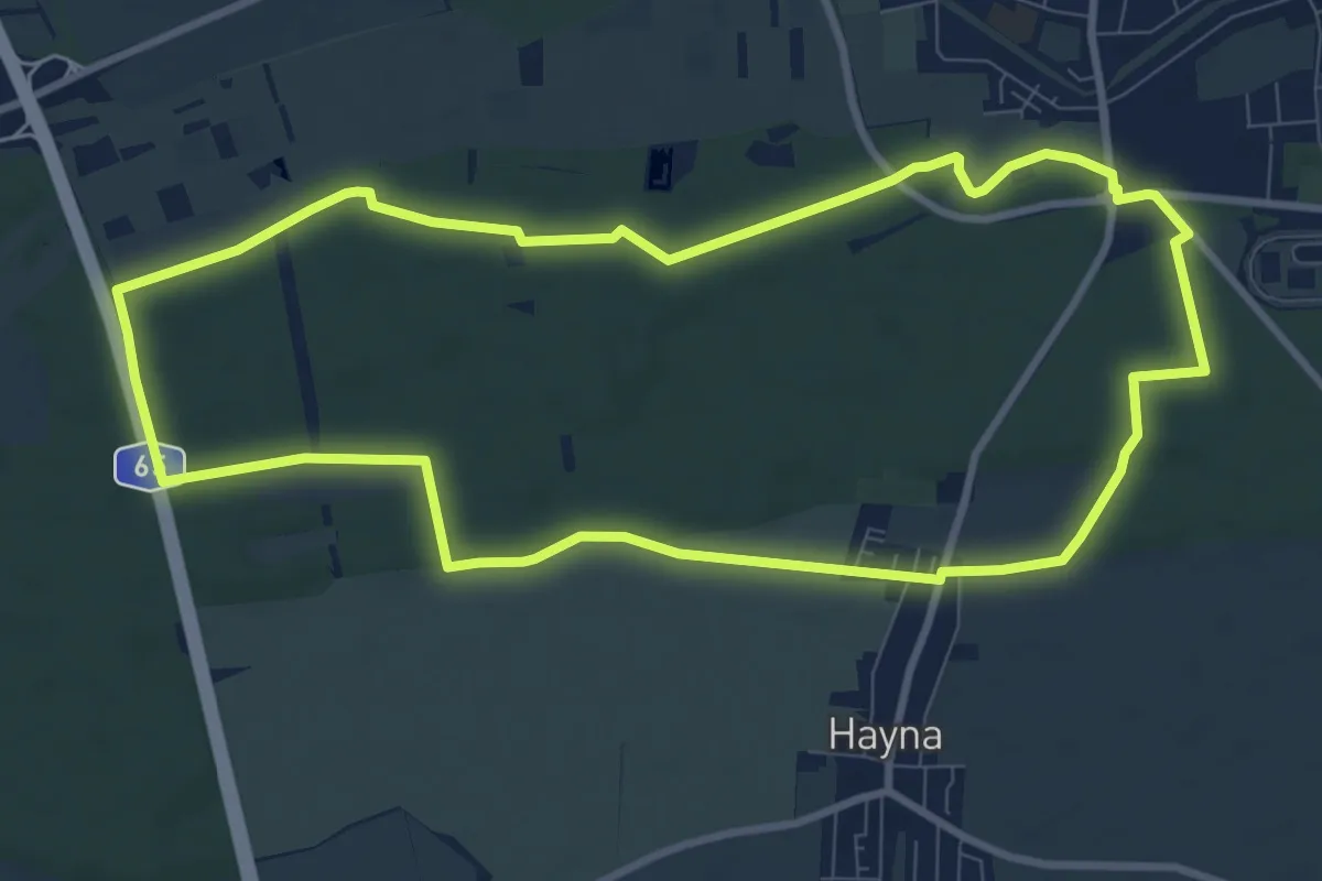
Medium · Trail
Gelbes Rechteck - Rundwanderweg in Herxheim ab Waldkapelle
9.1 km · ↑ 50 m · 2 h 23 min
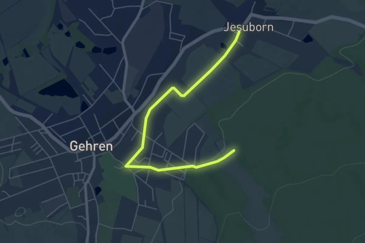
Easy · Trail
Gelbes X bei Gehren/Pennewitz
5.2 km · ↑ 40 m · 1 h 19 min
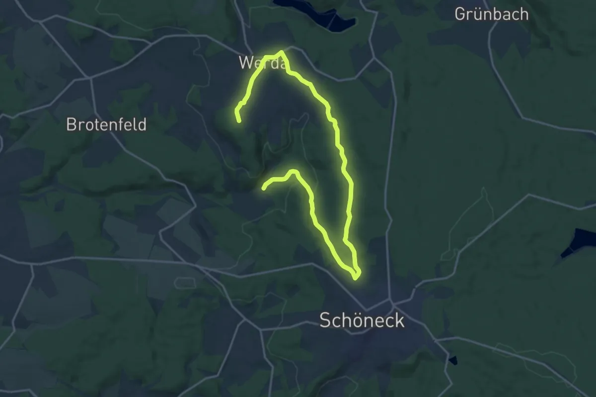
Demanding · Trail
Gelbe Wandermarkierung
20.0 km · ↑ 322 m · 5 h 25 min
Demanding · Summit
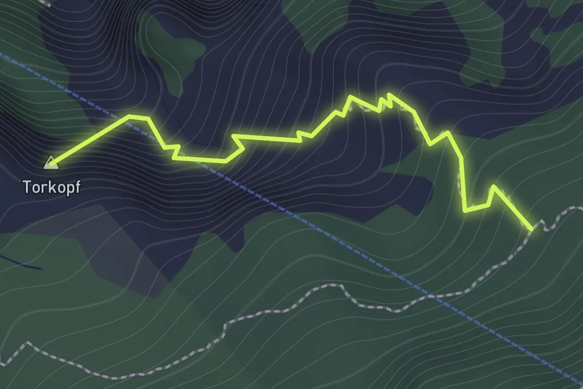
Gelbe-Wand-Steig
1.4 km · ↑ 265 m · 55 min
Easy · Trail
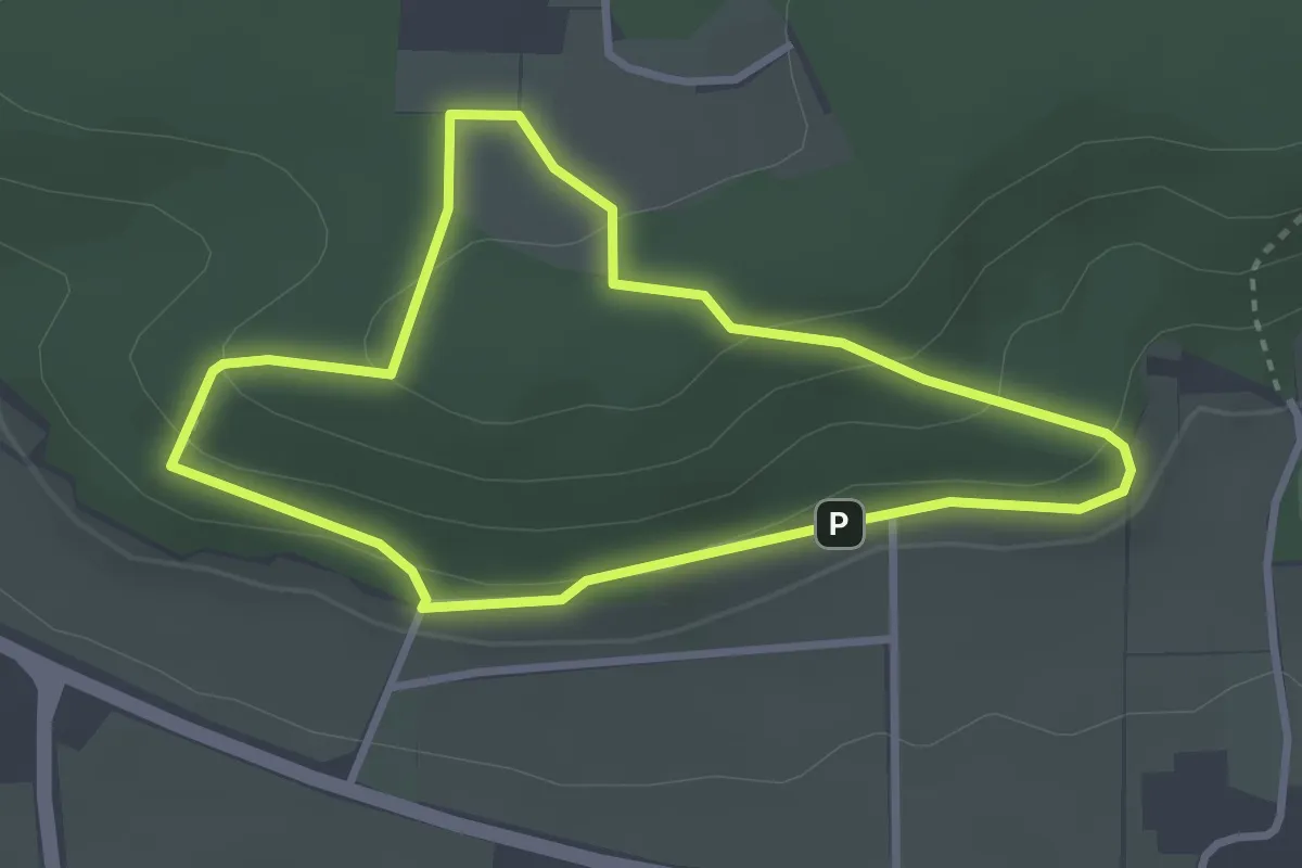
Gelb gestrichelte Route- Stemweder Berg
2.6 km · ↑ 101 m · 52 min
Demanding · Summit
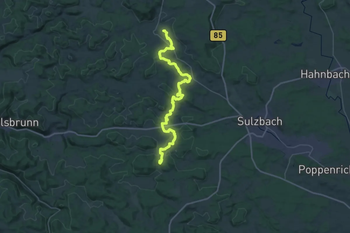
Gelbkreuz
32.1 km · ↑ 652 m · 8 h 59 min
Demanding · Trail
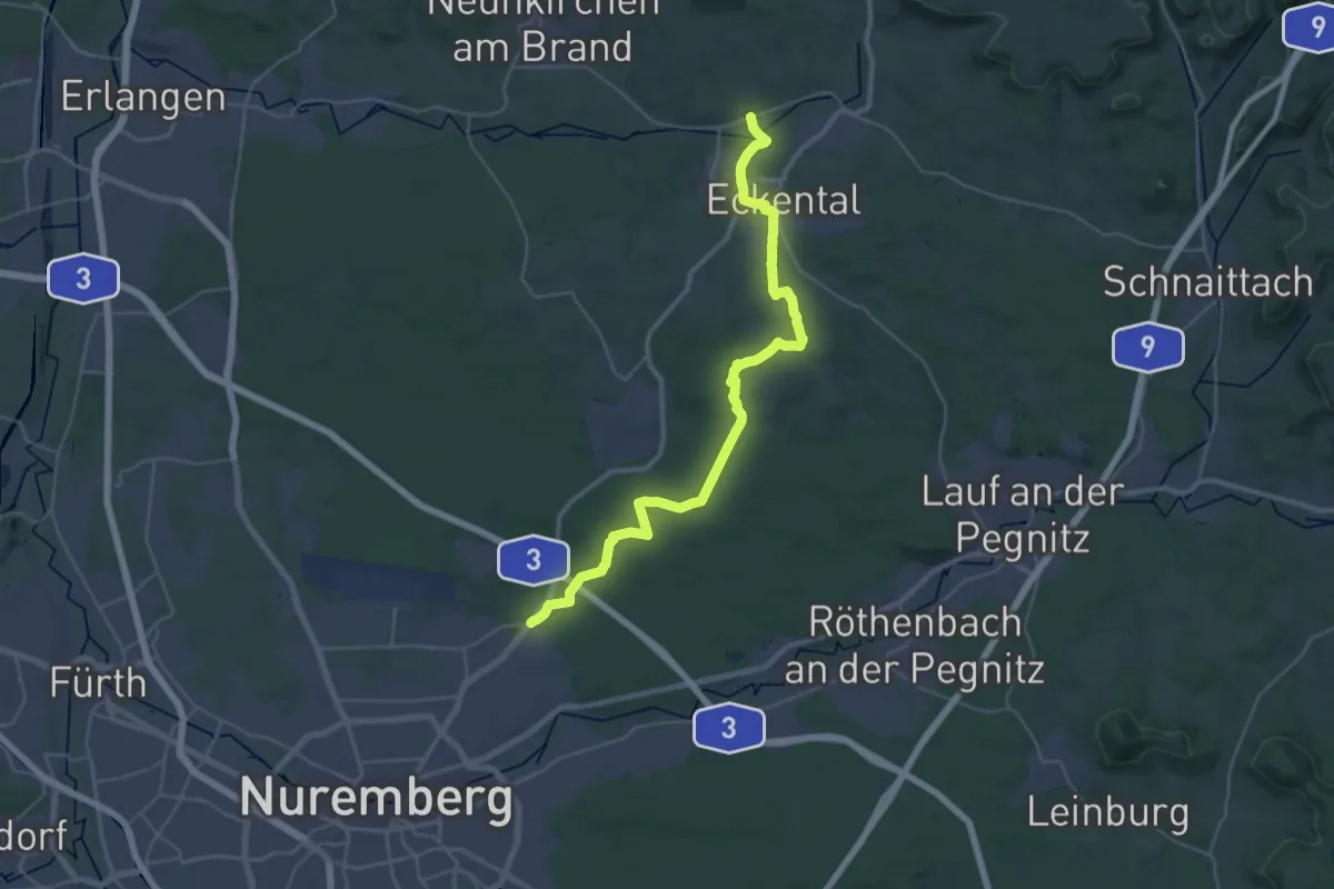
Gelbkreuz
18.1 km · ↑ 207 m · 4 h 58 min
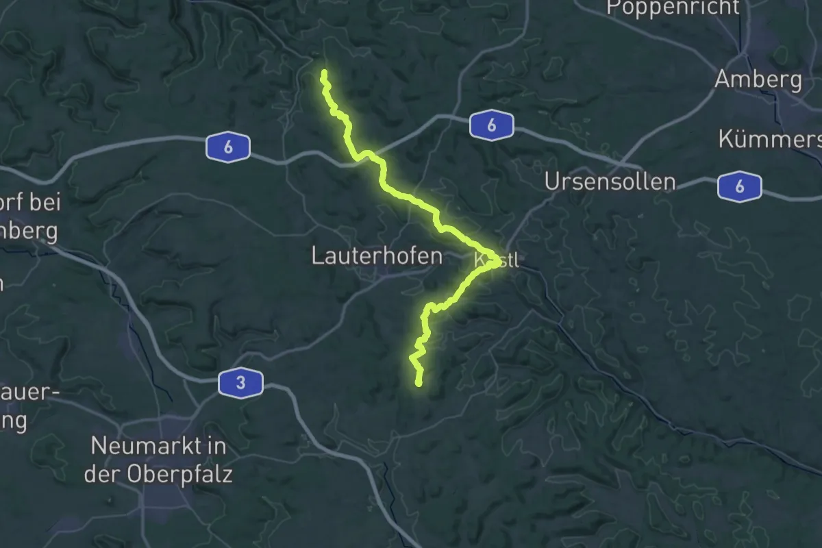
Demanding · Summit
Gelbkreuz (Erzweg Birgland Schlaufe)
51.0 km · ↑ 1219 m · 14 h 41 min
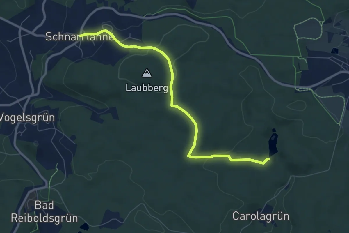
Easy · Trail
gelb mit Teilstück Vogtland-Panorama-Weg Carolagrün
6.7 km · ↑ 171 m · 1 h 57 min
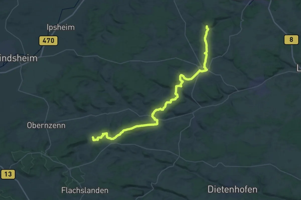
Demanding · Trail
Gelbpunkt
20.8 km · ↑ 411 m · 6 h 4 min
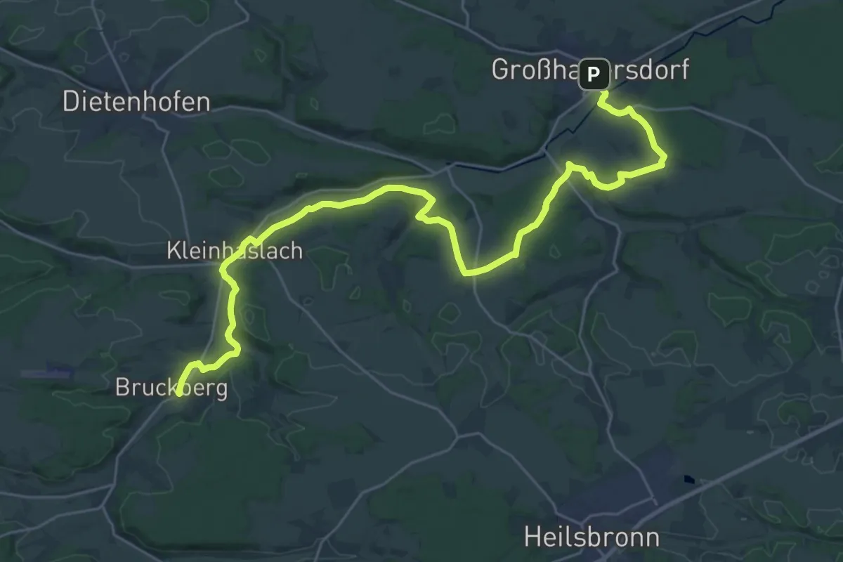
Medium · Trail
Gelbpunkt
15.3 km · ↑ 231 m · 4 h 19 min
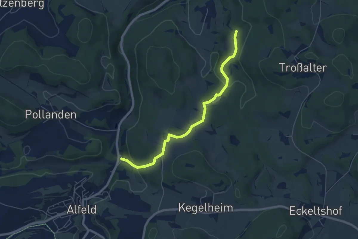
Easy · Summit
Gelbpunkt
2.6 km · ↑ 77 m · 49 min
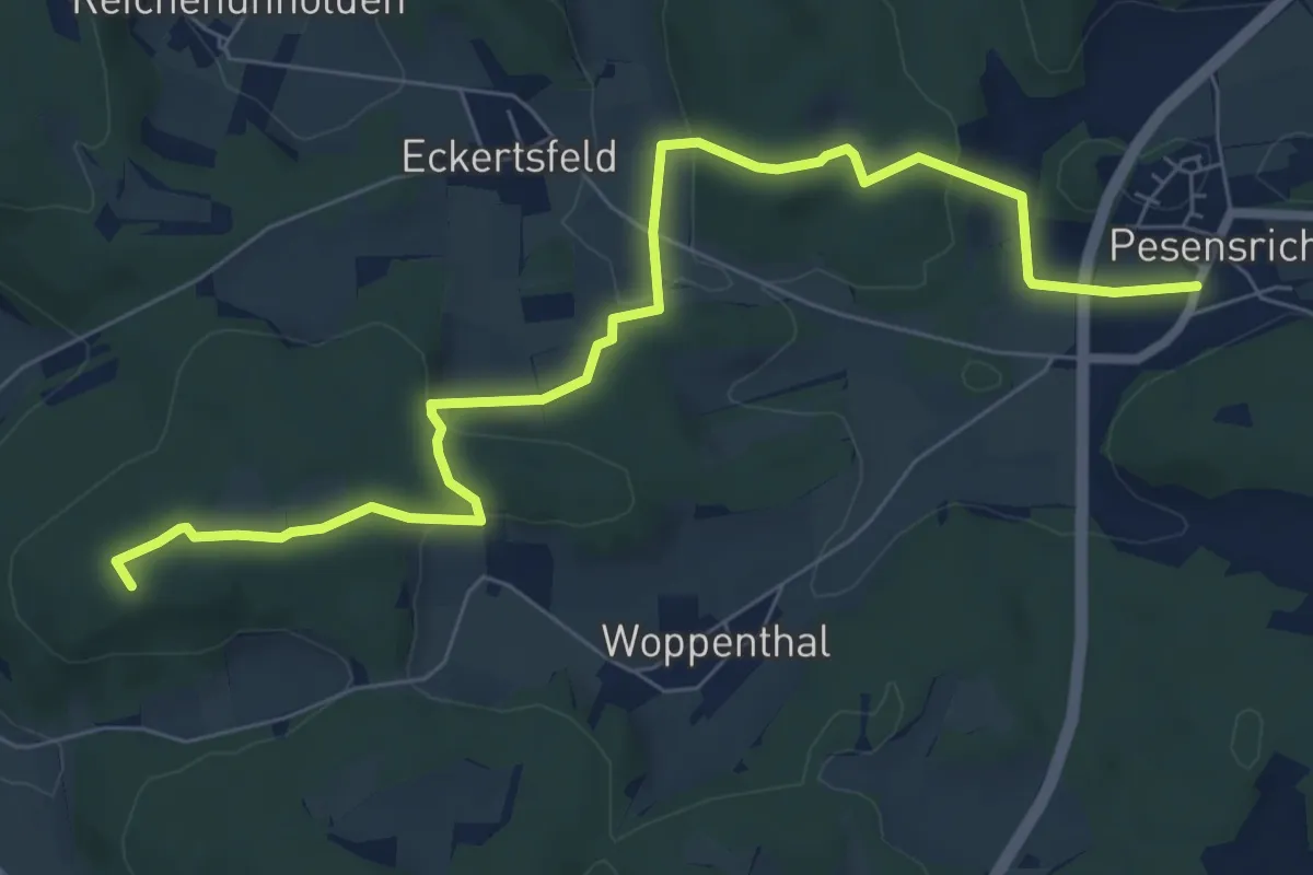
Medium · Summit
Gelbpunkt
8.1 km · ↑ 219 m · 2 h 23 min
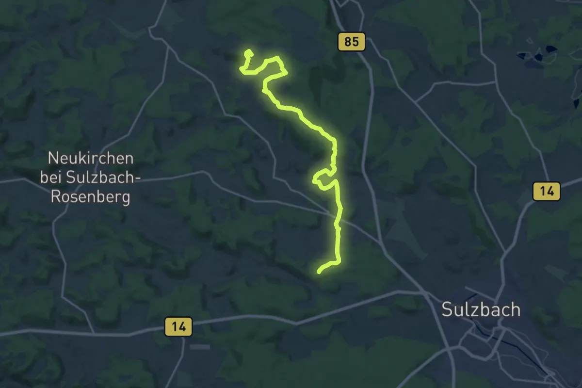
Medium · Summit
Gelbpunkt
16.9 km · ↑ 464 m · 5 h
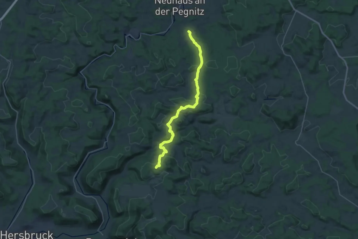
Demanding · Summit
Gelbpunkt
22.0 km · ↑ 643 m · 6 h 35 min
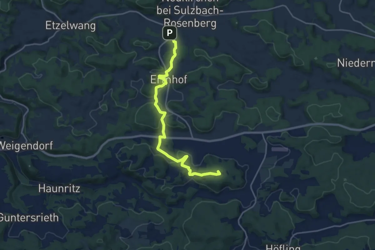
Medium · Summit
Gelbring
12.7 km · ↑ 310 m · 3 h 40 min
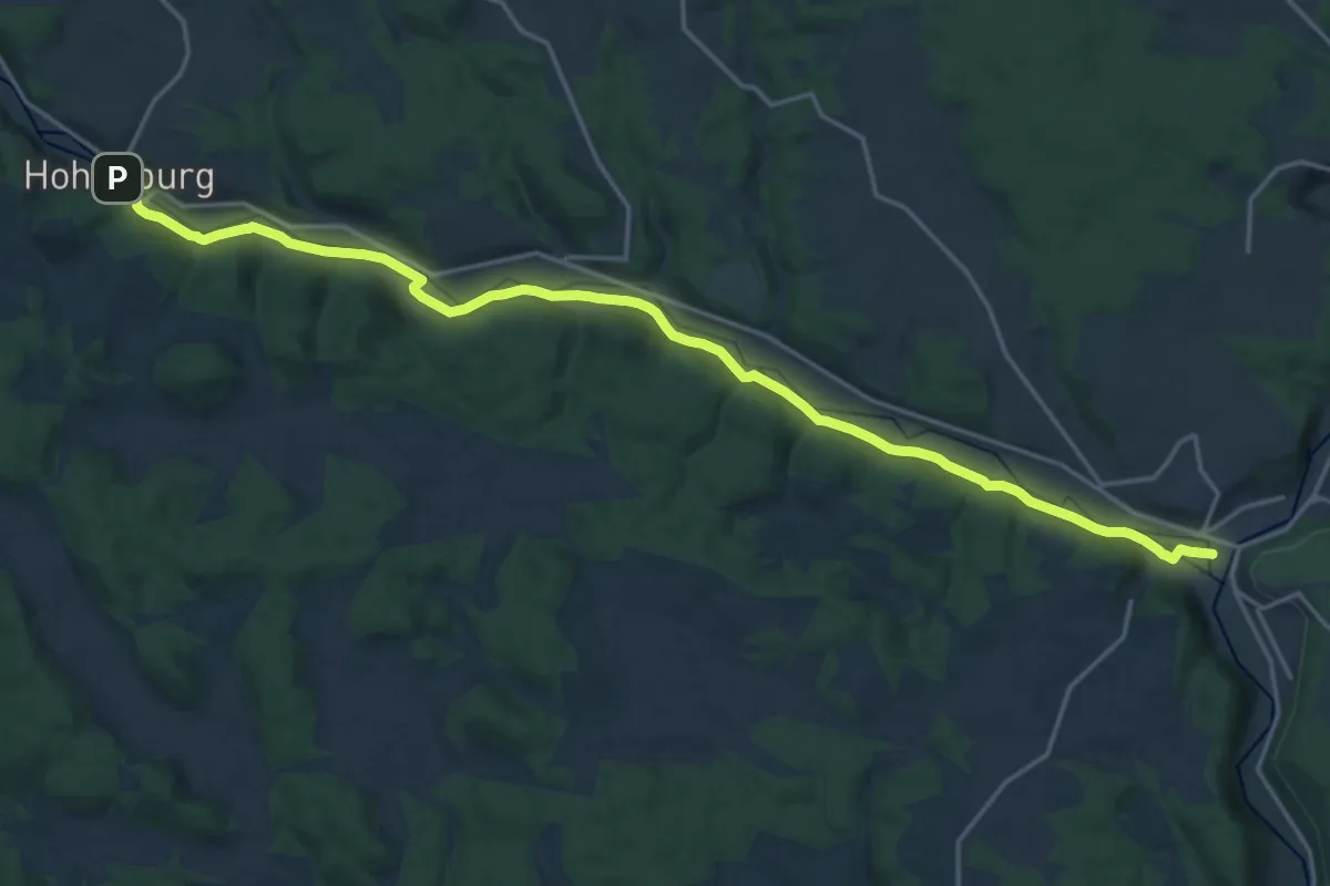
Demanding · Trail
Gelbstrich
20.6 km · ↑ 105 m · 5 h 5 min
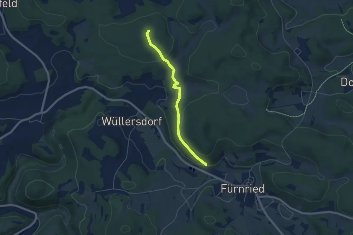
Easy · Summit
Gelbstrich
4.1 km · ↑ 131 m · 1 h 15 min
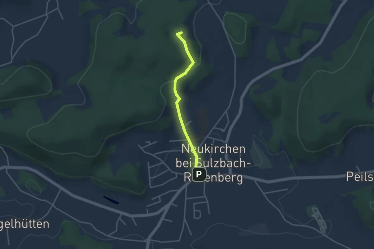
Easy · Summit
Gelbstrich
2.4 km · ↑ 75 m · 44 min