Trails in Germany
36,852 hiking trails, each with its route, climb, walking time and grade.
All trails, page 205 of 768
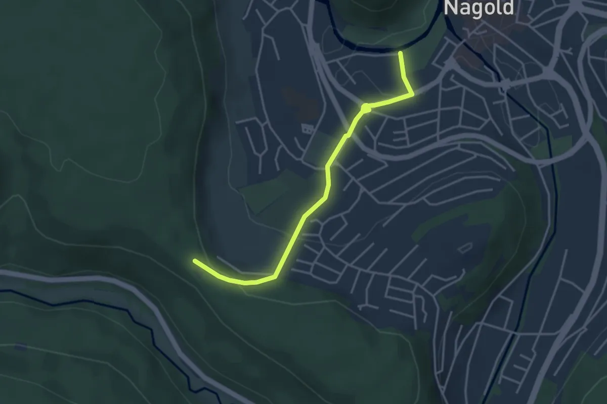
Easy · Trail
Häfele-Hütte - Nagold Badesteg
3.4 km · ↑ 109 m · 1 h 2 min
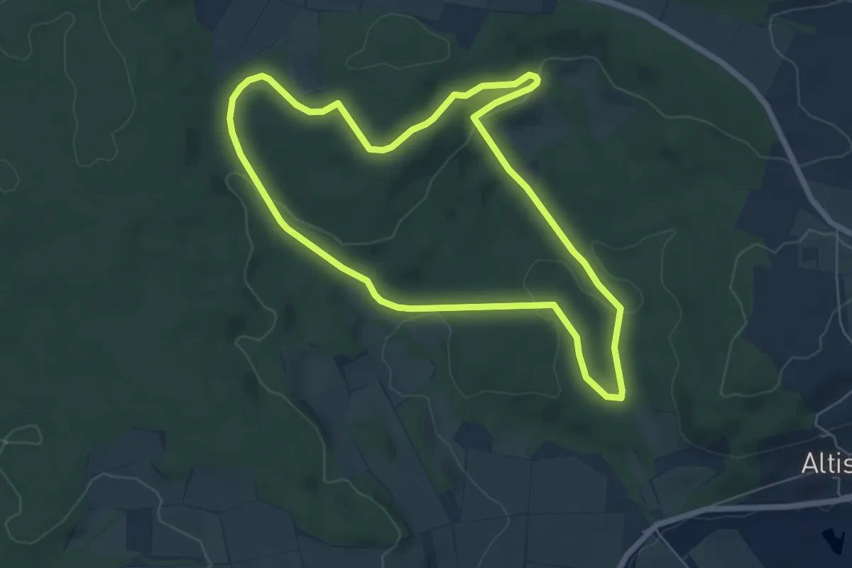
Easy · Trail
Hafenreut durch Pfählau
5.8 km · ↑ 122 m · 1 h 43 min
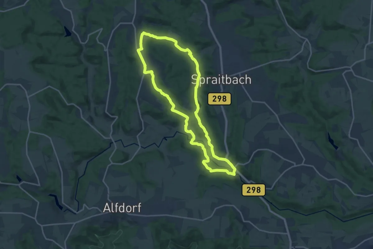
Medium · Trail
Hafental-Rundweg
13.4 km · ↑ 262 m · 3 h 55 min
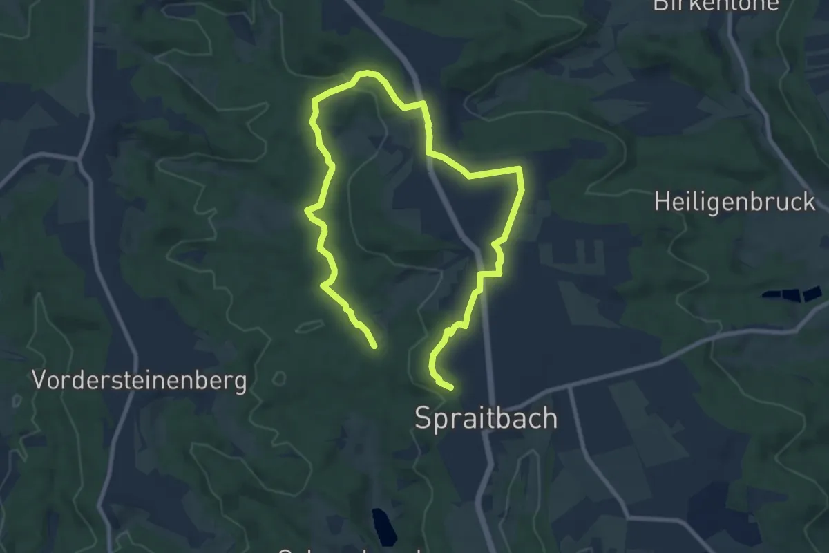
Medium · Trail
Hafentalweg
12.2 km · ↑ 127 m · 3 h 9 min
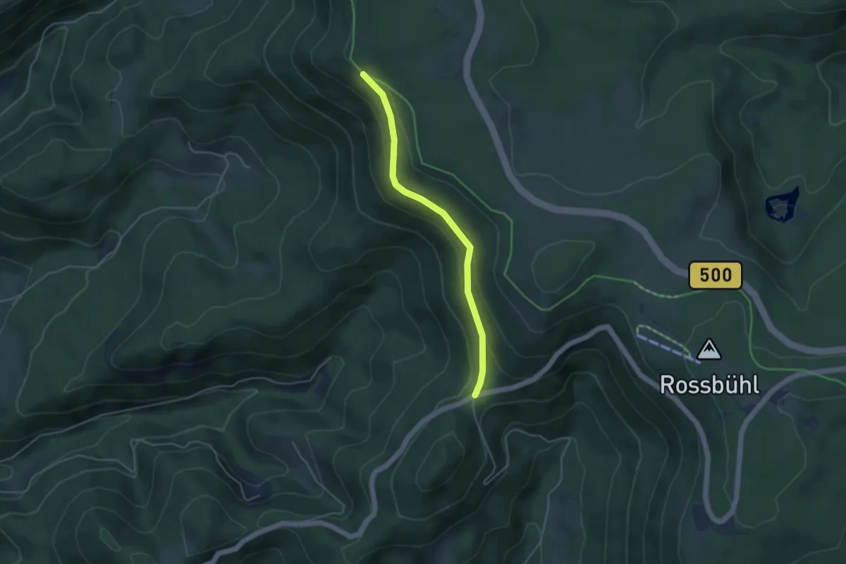
Easy · Trail
Haferrütterank - Horn
3.7 km · ↑ 175 m · 1 h 15 min
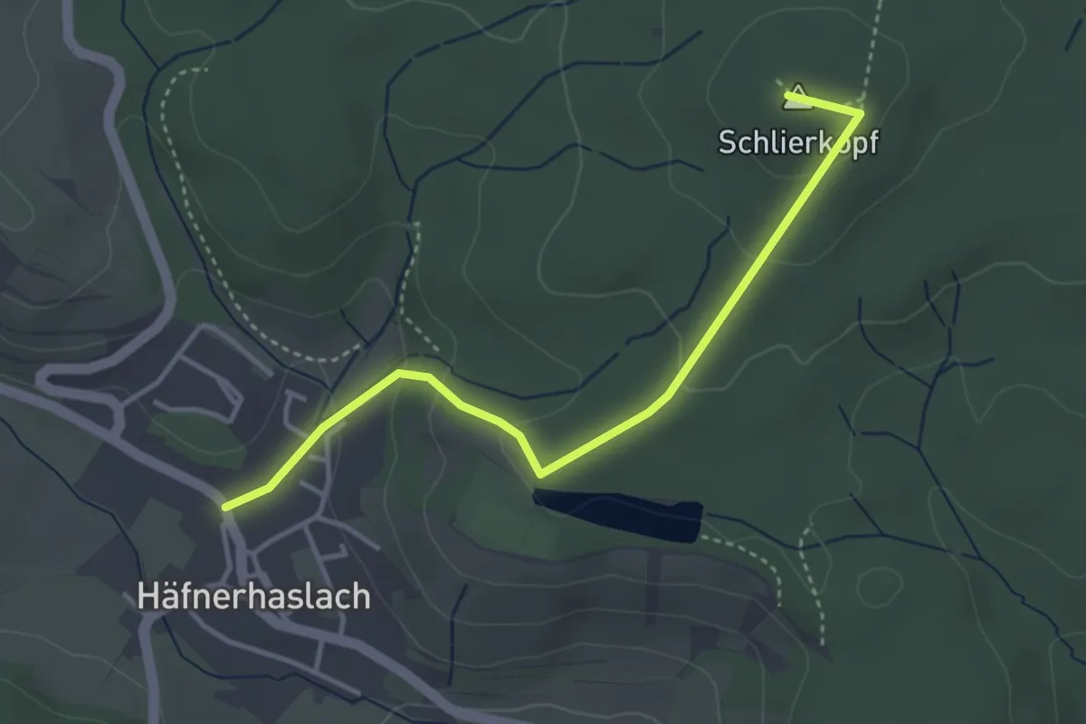
Easy · Summit
Häfnerhaslach - Schlierkopf - Rennweg
3.6 km · ↑ 144 m · 1 h 9 min
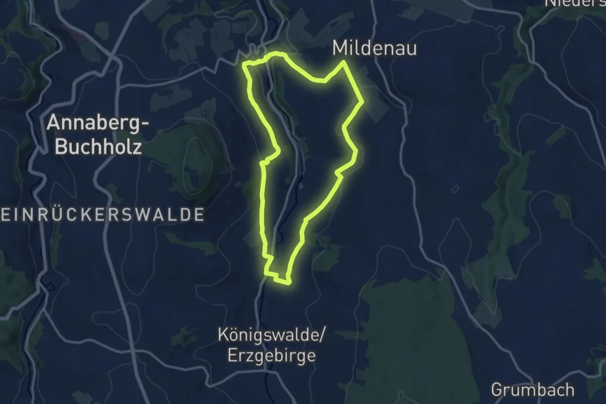
Medium · Trail
Hagebuttenweg
9.8 km · ↑ 230 m · 2 h 57 min
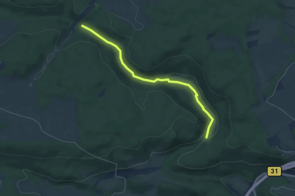
Easy · Trail
Hagelsboden - Fuchsloch
4.9 km · ↑ 84 m · 1 h 20 min
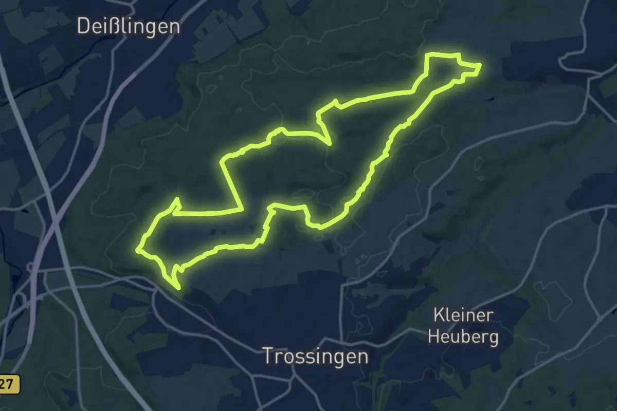
Medium · Trail
Hagenbachidylle
14.0 km · ↑ 242 m · 4 h 1 min
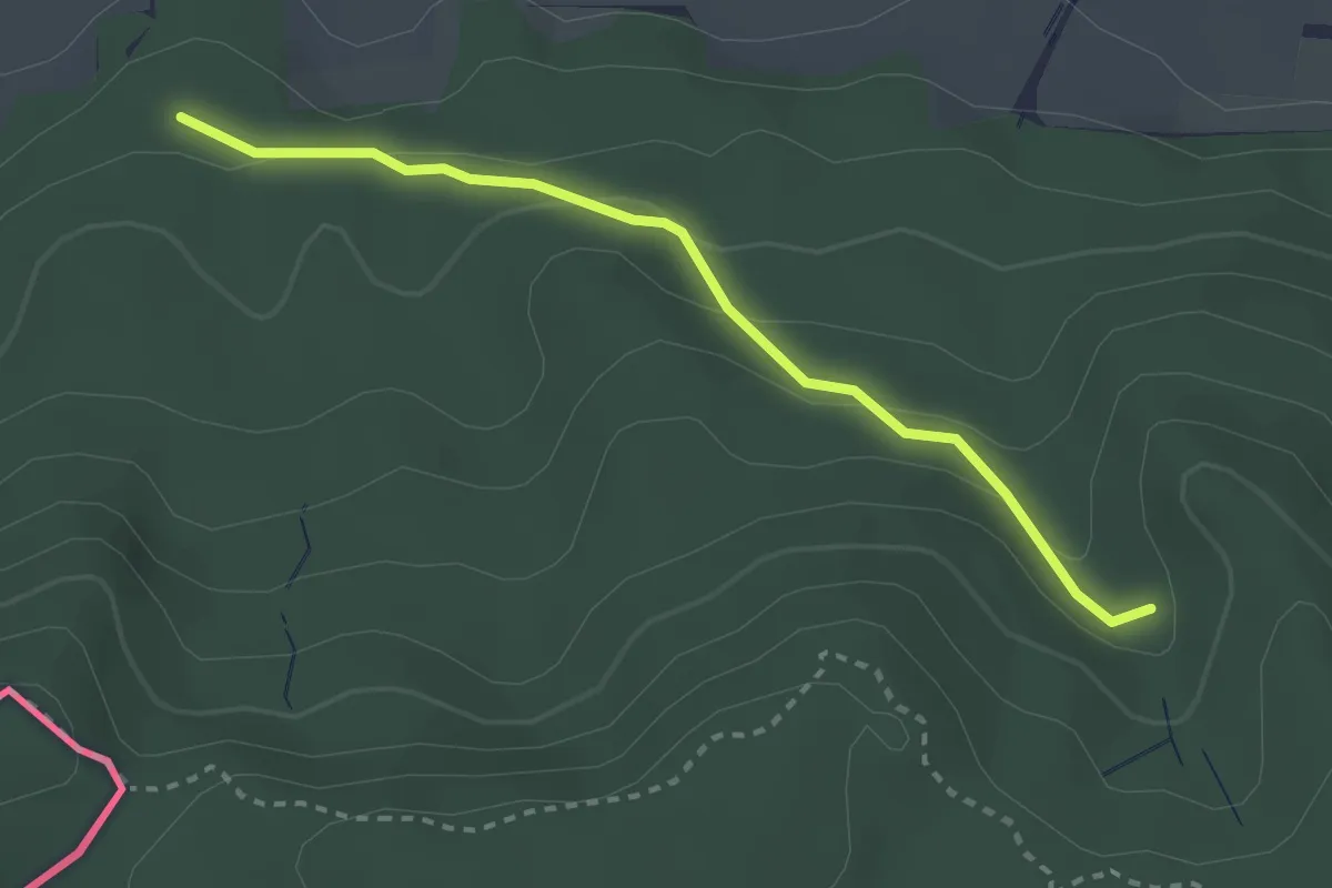
Easy · Trail
Hagenbuchen - Am Kastenbühl
2.7 km · ↑ 102 m · 51 min
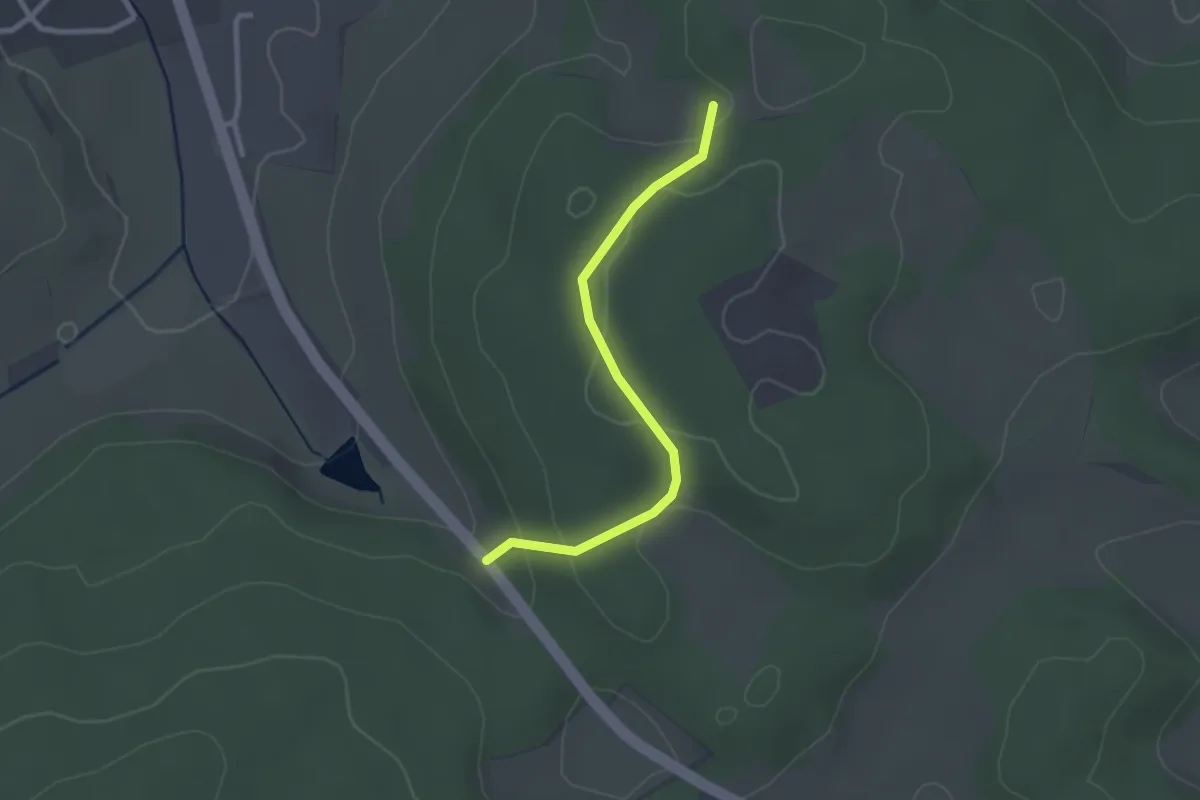
Easy · Trail
Hagenbuch - Tumlinger See
2.3 km · ↑ 73 m · 42 min
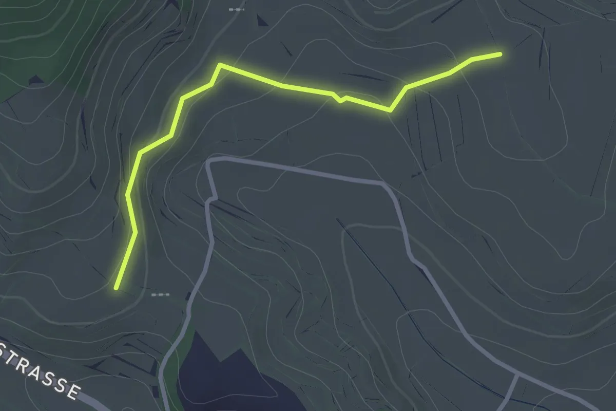
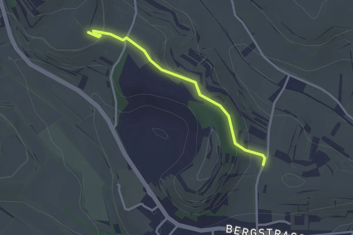
Easy · Trail
Hagengasse - Kreuzweg
2.4 km · ↑ 59 m · 41 min
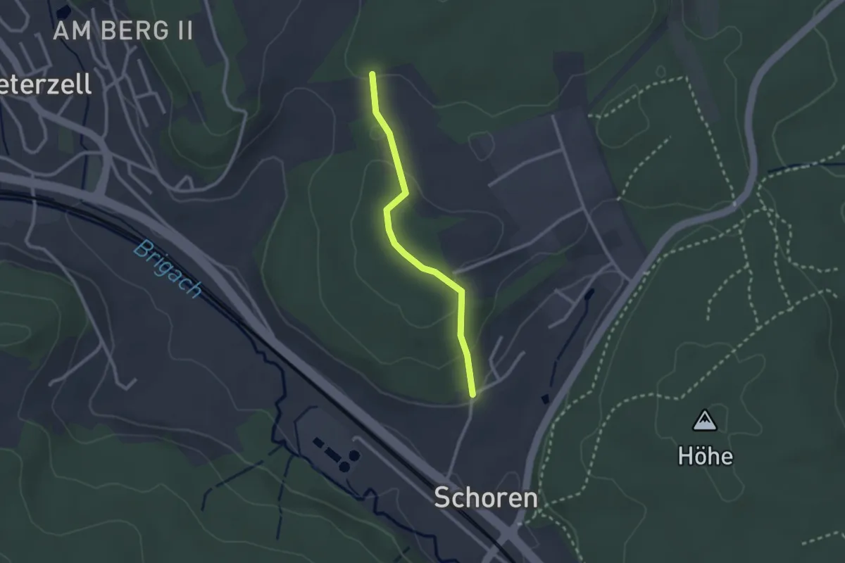
Easy · Trail
Hagengasse - Obere Leimengasse
2.2 km · ↑ 65 m · 39 min
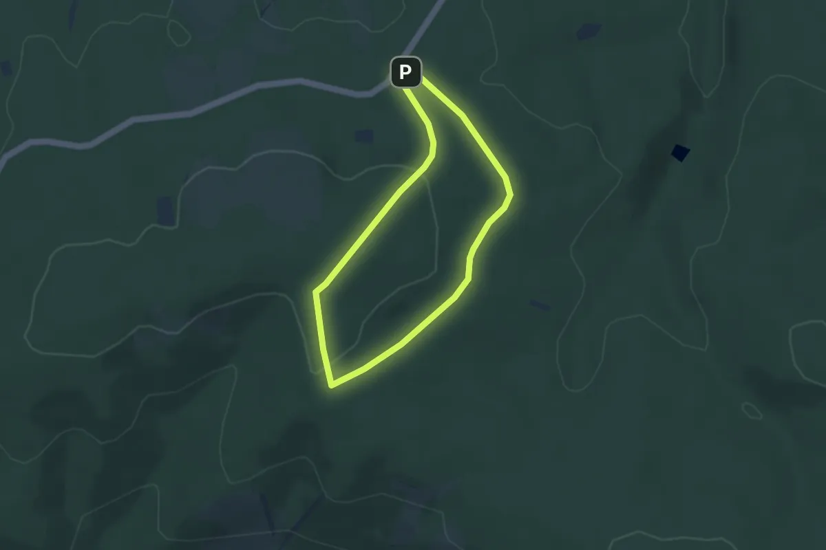
Easy · Trail
Hagenmoos - Brunnendobel
2.1 km · ↑ 66 m · 39 min
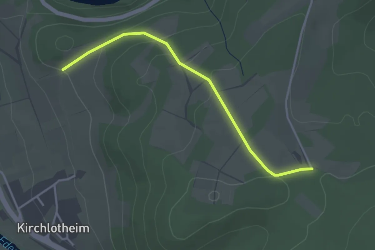
Easy · Trail
Hagensberg Rundweg A7
2.8 km · ↑ 62 m · 50 min
Easy · Trail
Hagenstein-Route
1.4 km · ↑ 89 m · 30 min
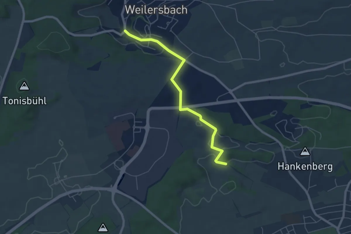
Easy · Trail
Hagen - Weilersbach Zur Zolltafel
5.2 km · ↑ 77 m · 1 h 24 min
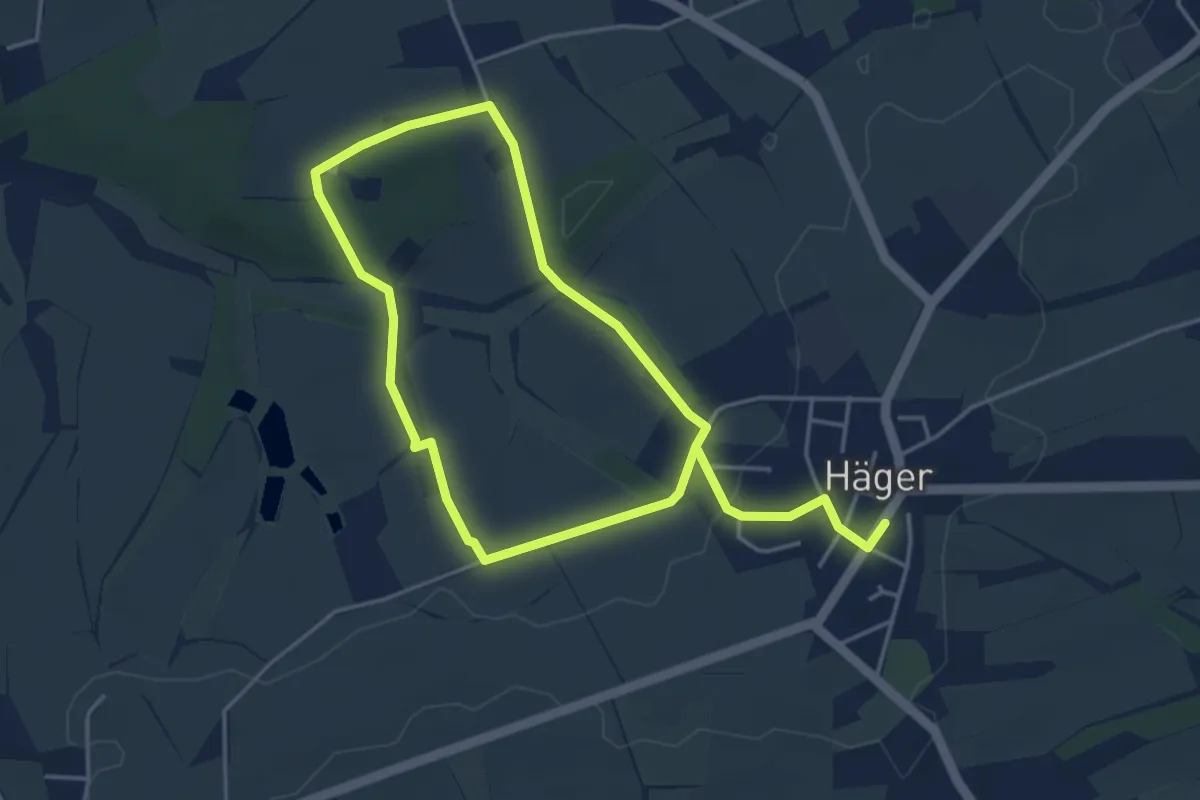
Easy · Trail
Häger 1
3.2 km · ↑ 34 m · 53 min
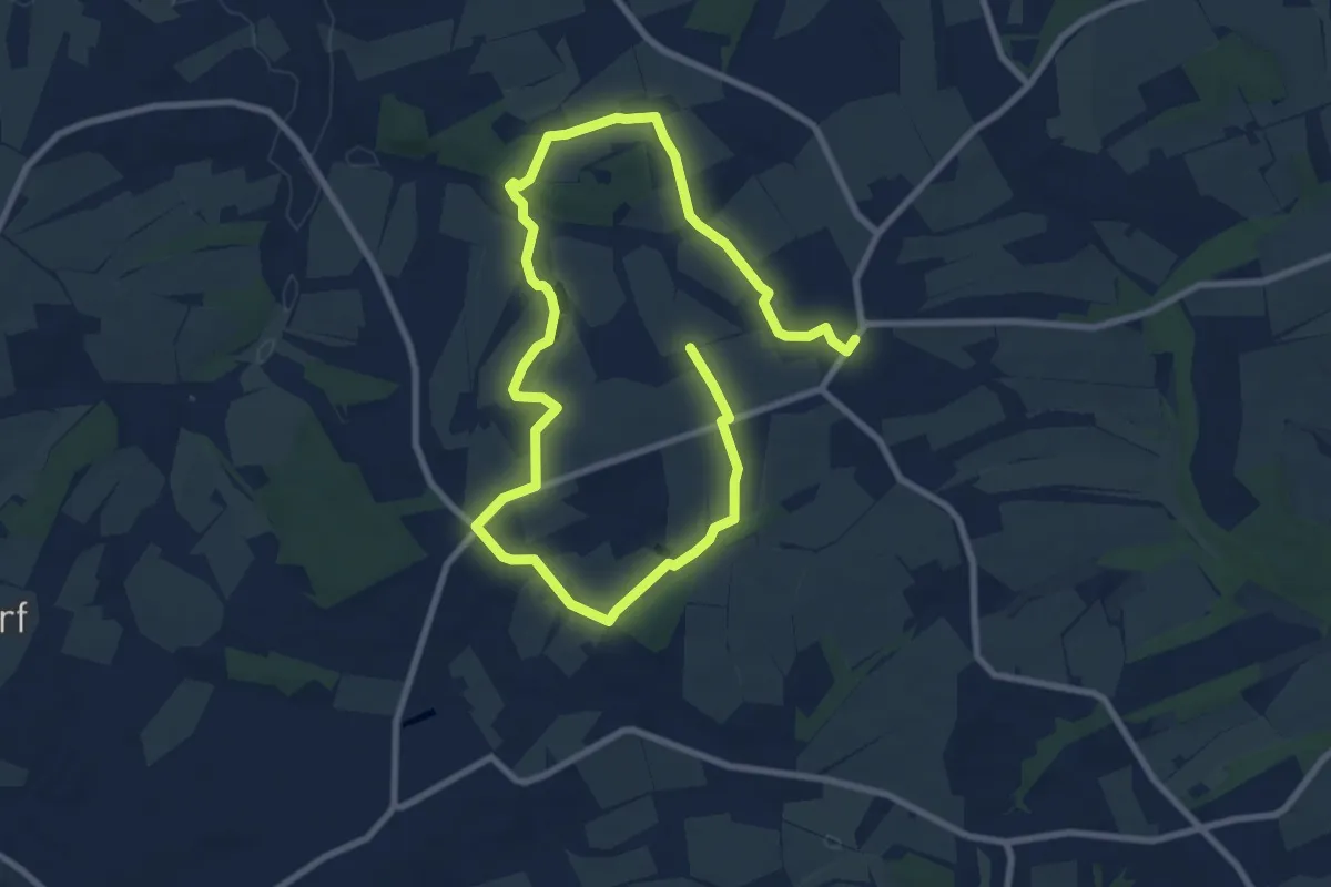
Medium · Trail
Häger 2
12.8 km · ↑ 143 m · 3 h 20 min
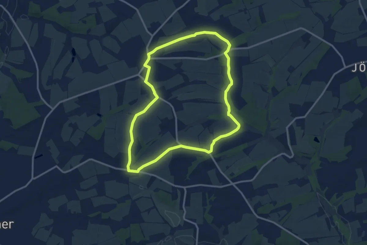
Easy · Trail
Häger 3
7.7 km · ↑ 77 m · 2 h 5 min
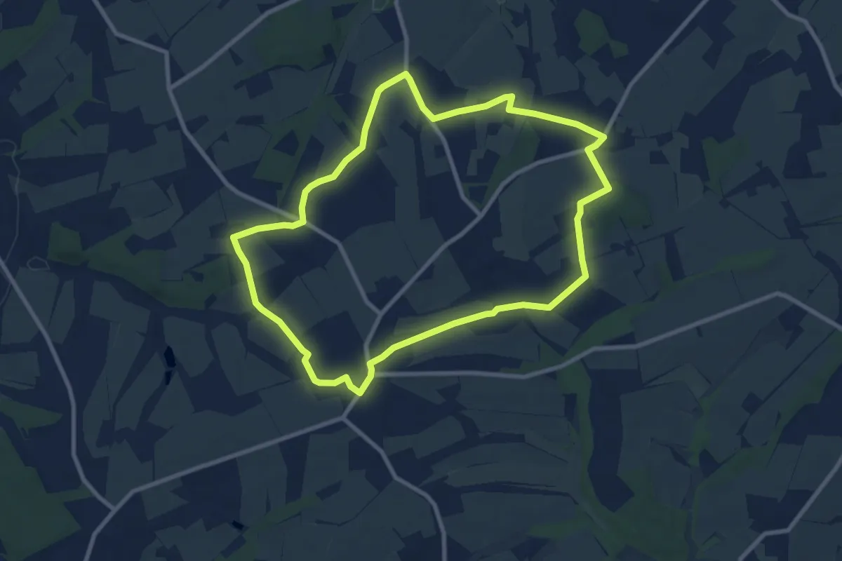
Easy · Trail
Häger 4
7.5 km · ↑ 59 m · 2 h
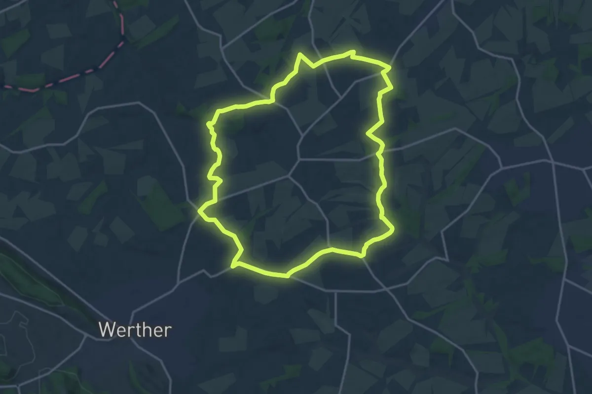
Medium · Trail
Häger RH
13.3 km · ↑ 150 m · 3 h 40 min
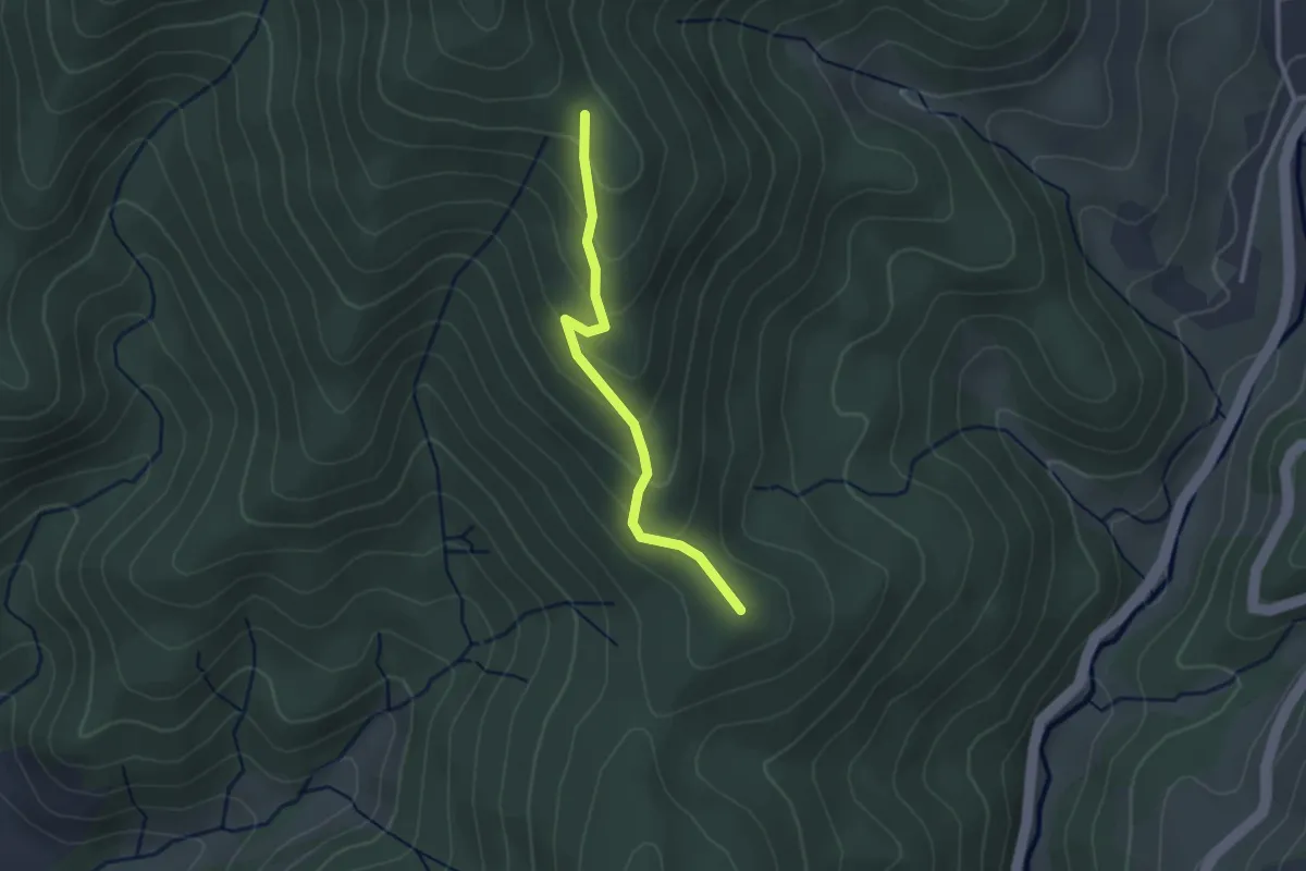
Easy · Summit
Hägi - Hexenplatz
2.4 km · ↑ 137 m · 52 min
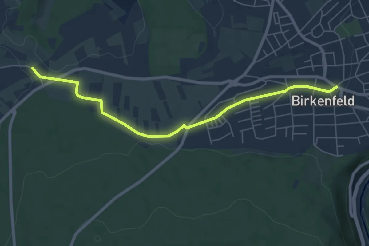
Easy · Trail
Hägnach - Birkenfeld Marktplatz
5.1 km · ↑ 90 m · 1 h 24 min
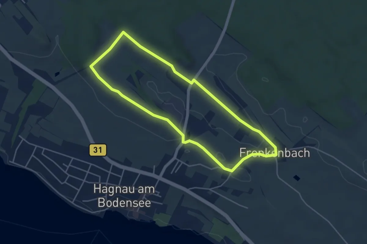
Easy · Trail
Hagnauer Obst- und Weinwanderweg
3.9 km · ↑ 30 m · 1 h 2 min
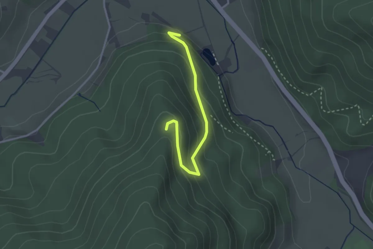
Easy · Trail
Hagsbacherberg - Willy-Kern-Hütte
2.5 km · ↑ 188 m · 1 h
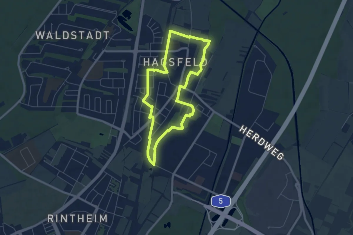
Easy · Trail
Hagsfelder Ökumeneweg
5.1 km · ↑ 4 m · 1 h 18 min
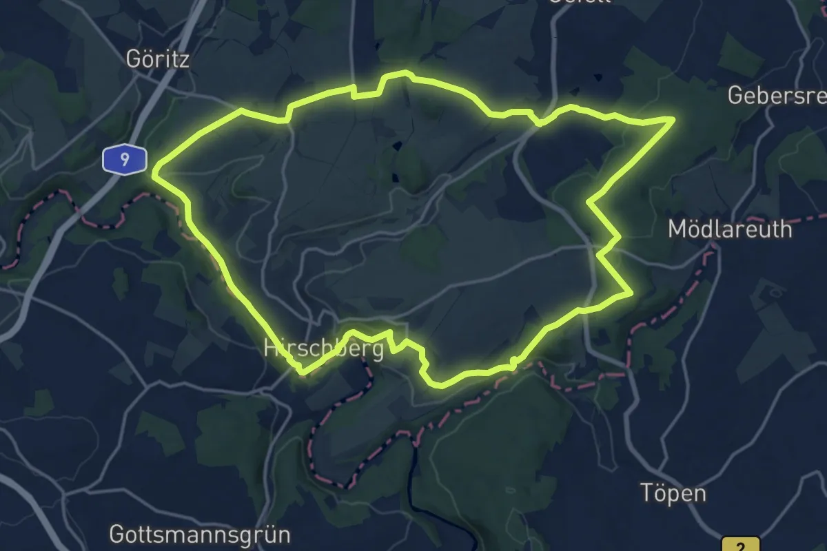
Medium · Trail
Hag-Weg US 93
16.7 km · ↑ 349 m · 4 h 56 min
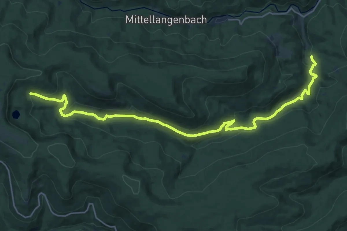
Medium · Trail
Hahnbrunnenwiese - Seeloch
16.8 km · ↑ 534 m · 5 h 8 min
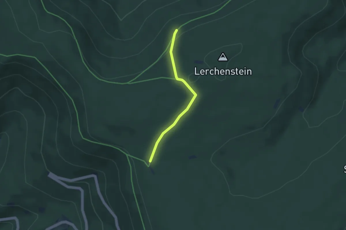
Easy · Trail
Hahnenfalzhütte - Langmartskopfhütte
2.6 km · ↑ 94 m · 49 min
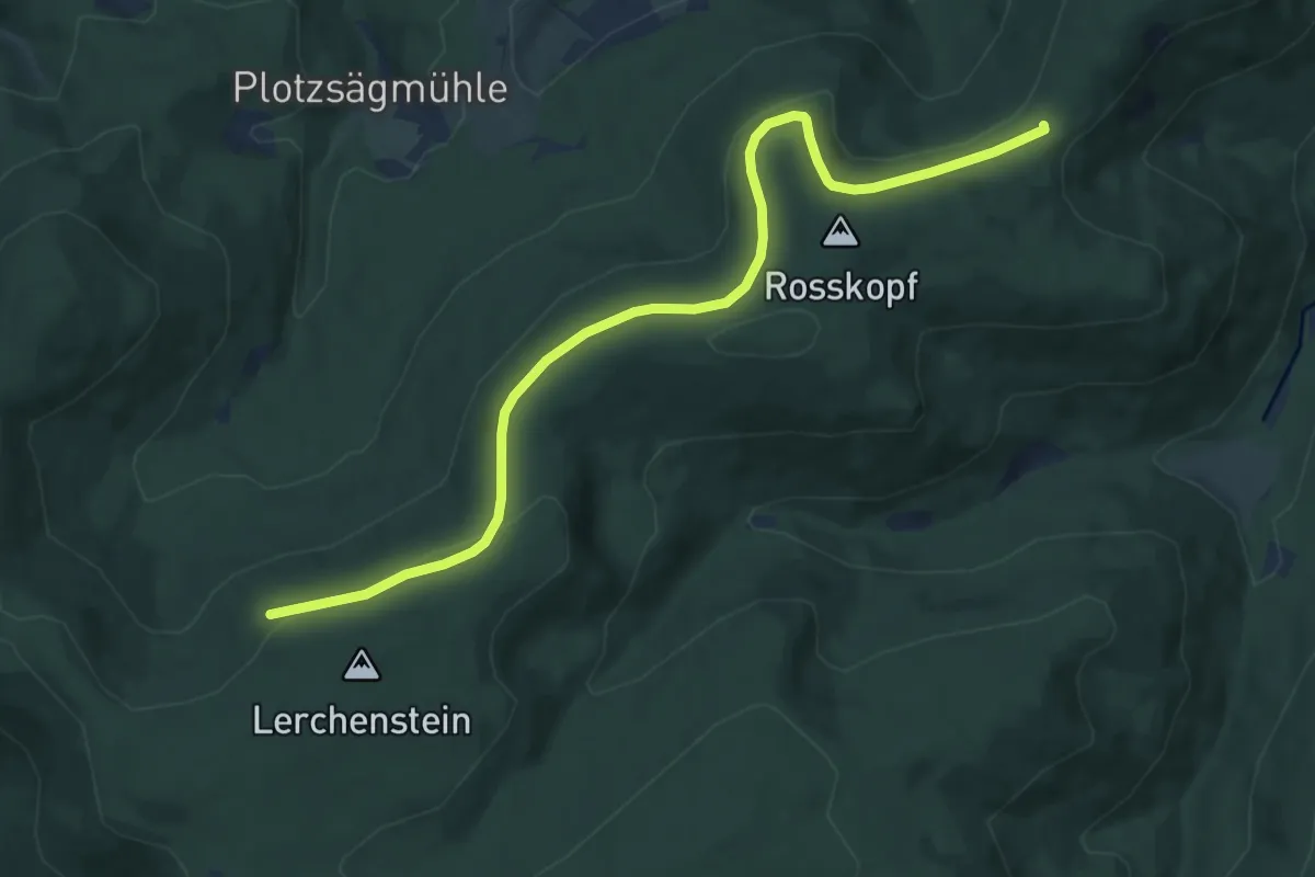
Medium · Trail
Hahnenfalzhütte - Weithäusleplatz
9.7 km · ↑ 200 m · 2 h 43 min
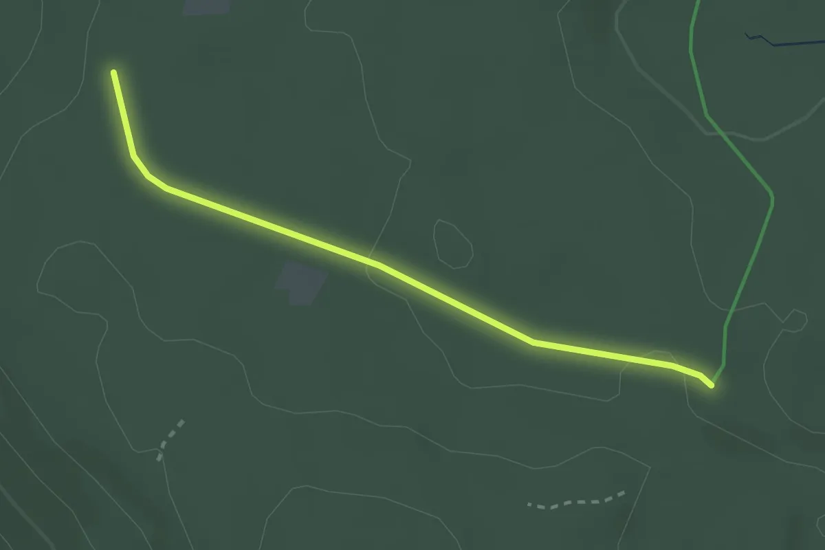
Easy · Trail
Hahnenfalz - Mehlwegle
2.5 km · ↑ 32 m · 39 min
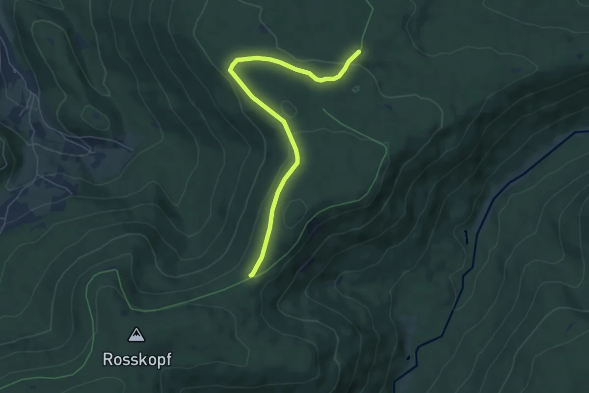
Easy · Trail
Hahnenfalz - Weithäusleplatz
5.9 km · ↑ 118 m · 1 h 39 min
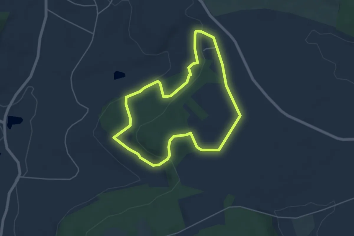
Easy · Trail
Hahnenkamm Erlebnispfad
3.9 km · ↑ 117 m · 1 h 14 min
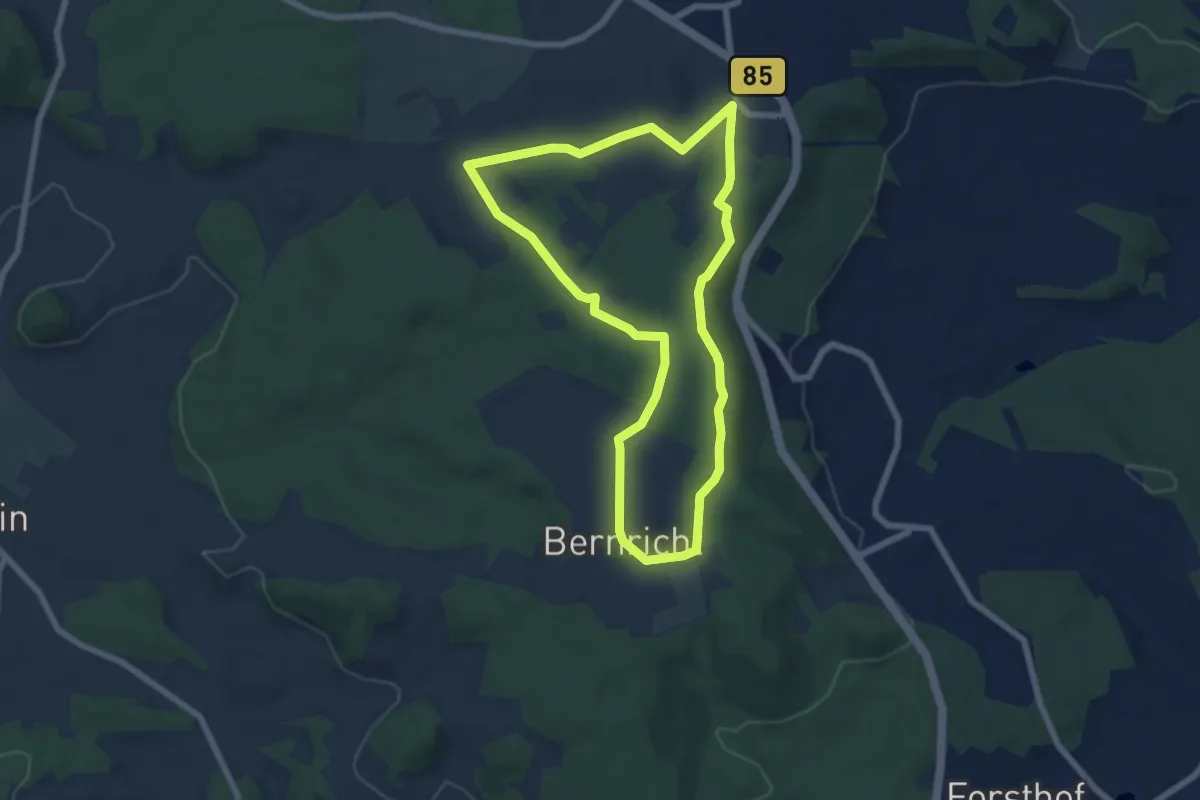
Easy · Trail
Hahnenkamm Höhenwanderweg
6.2 km · ↑ 92 m · 1 h 44 min
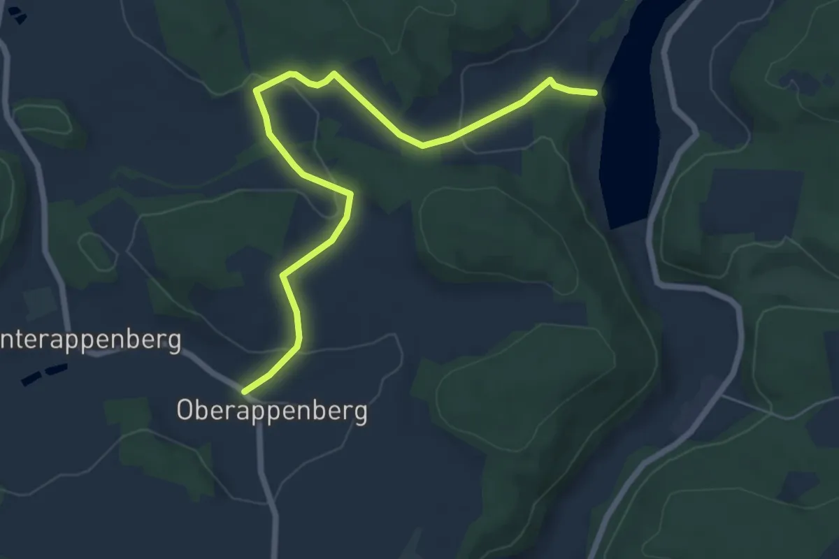
Easy · Trail
Hahnenkammseeweg
6.4 km · ↑ 168 m · 1 h 53 min
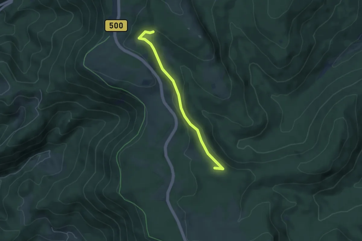
Easy · Summit
Hahnenmisse - Murgursprung
4.4 km · ↑ 134 m · 1 h 20 min
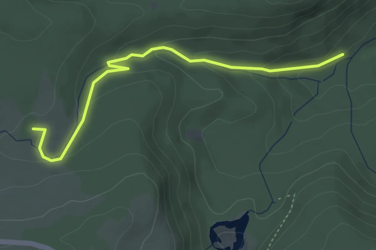
Easy · Trail
Hahnenmisse - Spaltbächle
3.9 km · ↑ 140 m · 1 h 13 min
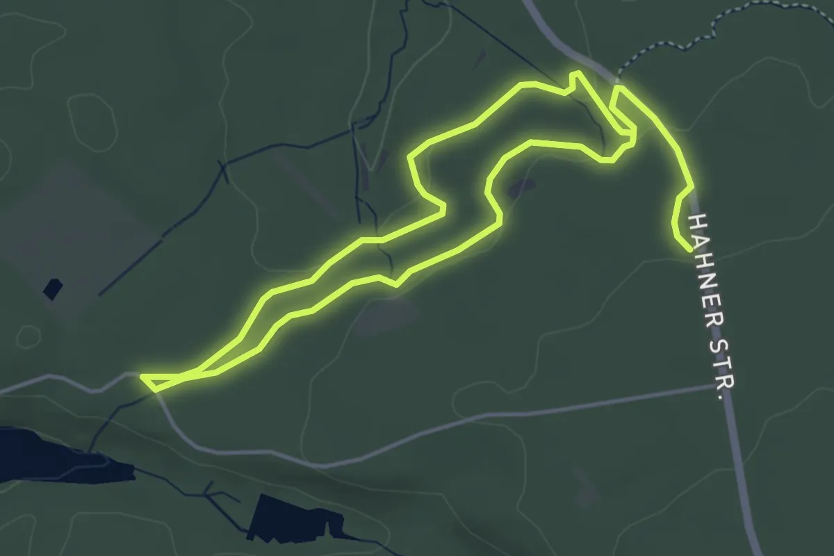
Easy · Trail
Hahner Straße Rundweg A1
3.7 km · ↑ 44 m · 1 h 2 min
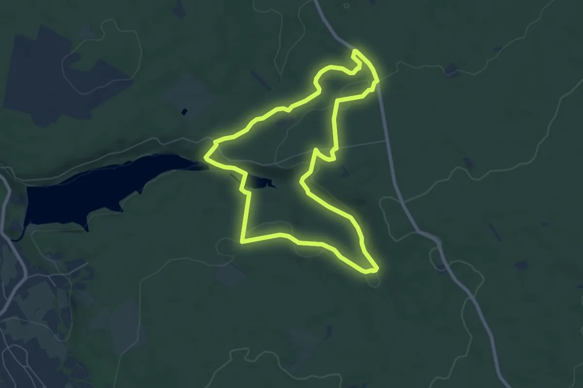
Easy · Trail
Hahner Straße Rundweg A2
6.2 km · ↑ 127 m · 1 h 49 min
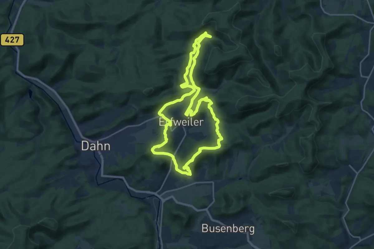
Medium · Summit
Hahnfels-Tour
14.3 km · ↑ 604 m · 4 h 53 min
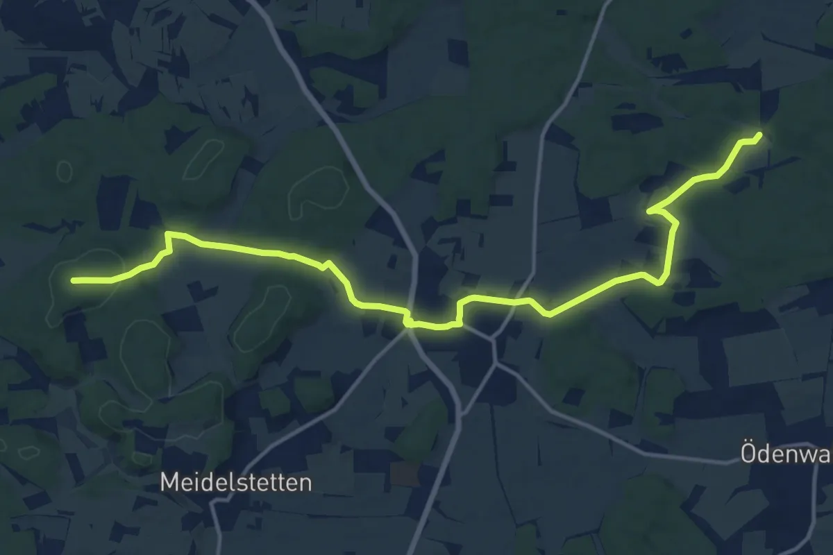
Medium · Summit
Haid - Bernloch
15.3 km · ↑ 217 m · 4 h 5 min
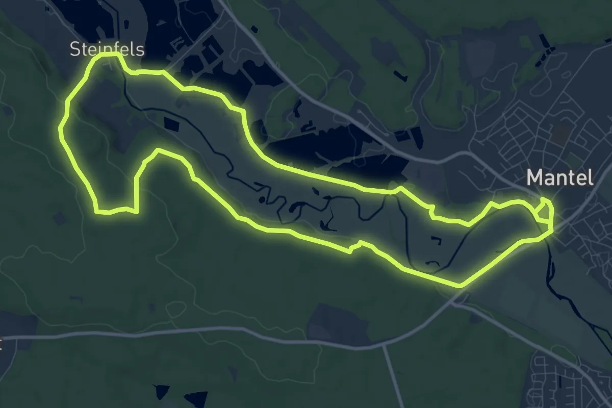
Medium · Trail
Haidenaabtalweg
10.8 km · ↑ 102 m · 2 h 56 min
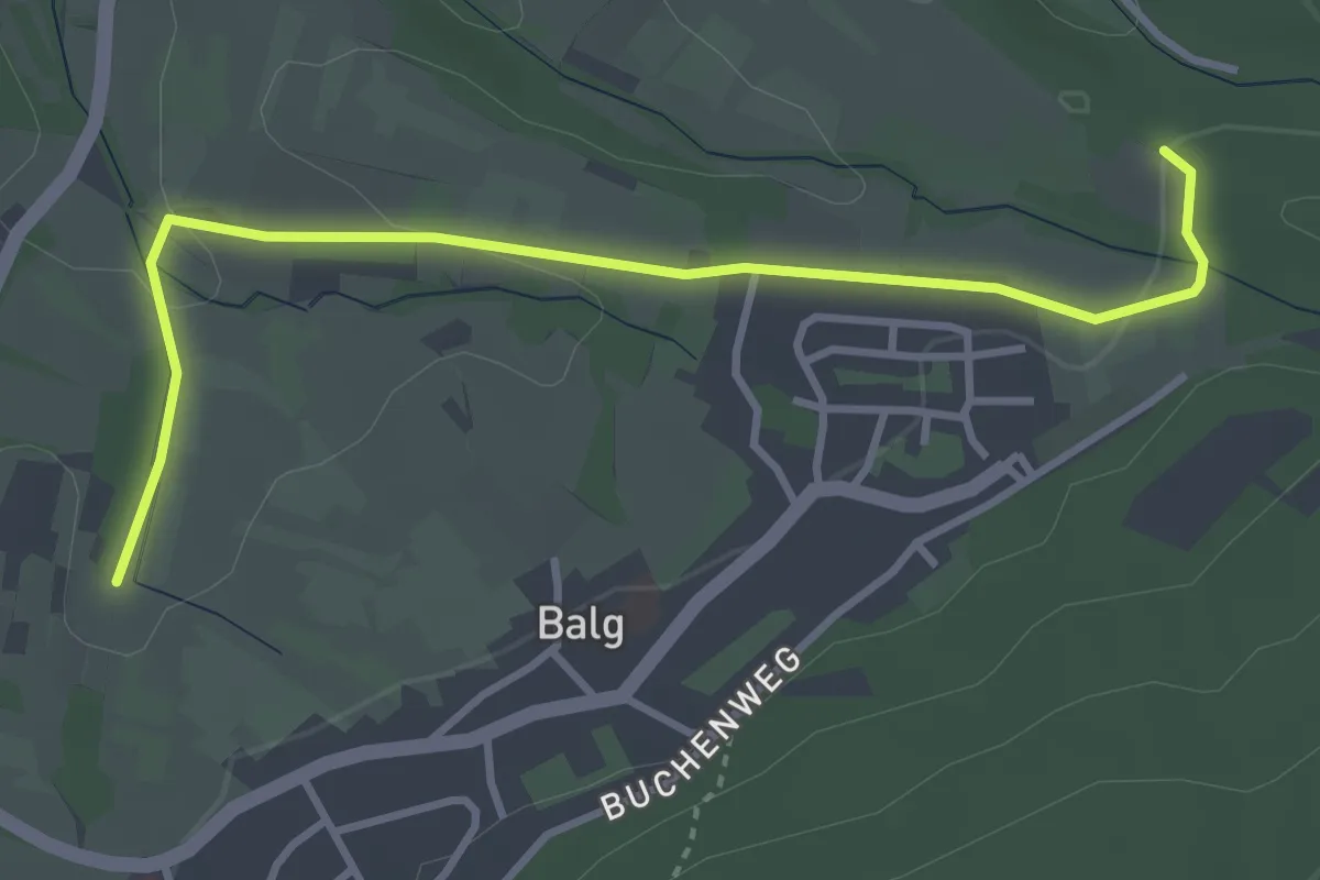
Easy · Trail
Haid - Hinterfeld Hubertushof
3.6 km · ↑ 57 m · 58 min
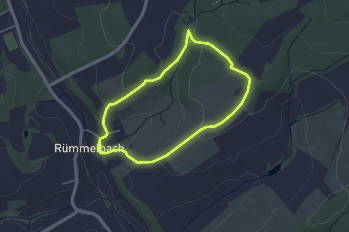
Easy · Trail
Haifisch-Pfad
2.7 km · ↑ 74 m · 51 min
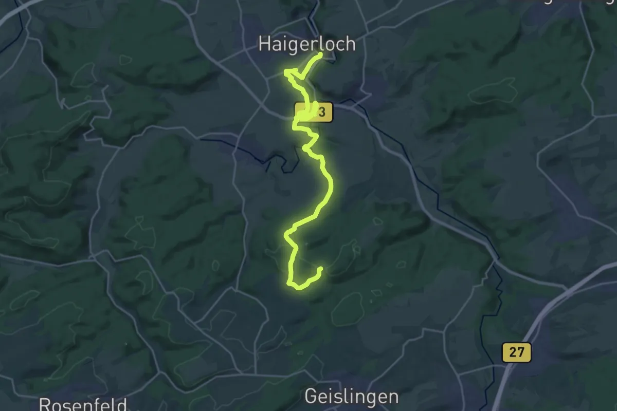
Demanding · Trail
Haigerloch Schlössle - Erlaheim Grillhütte
22.3 km · ↑ 392 m · 6 h 7 min
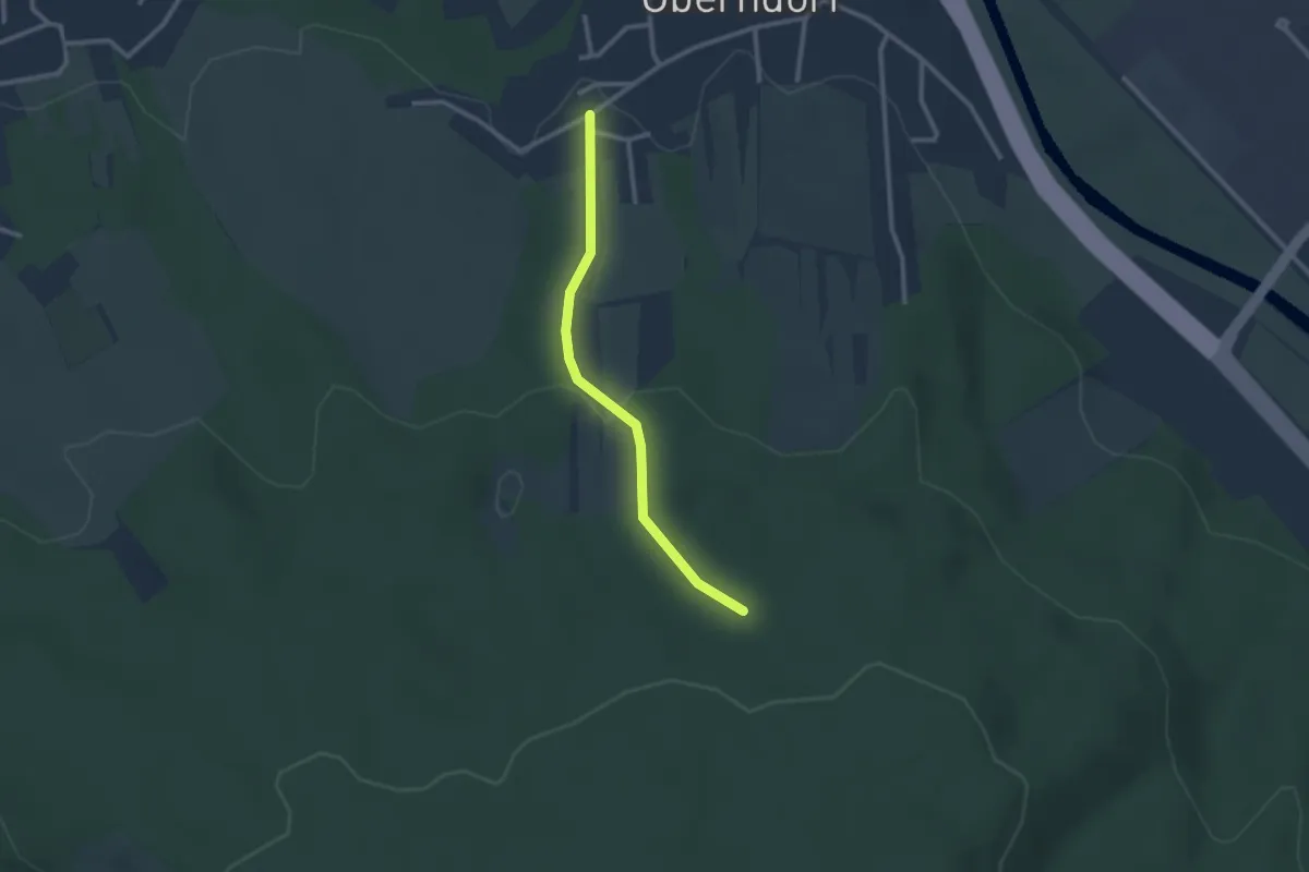
Easy · Trail
Hailweg - Brünnele
2.2 km · ↑ 79 m · 42 min
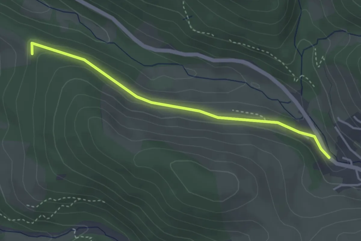
Easy · Trail
Hailweg - Schmietkreuz
3.3 km · ↑ 81 m · 57 min