Trails in Germany
36,852 hiking trails, each with its route, climb, walking time and grade.
All trails, page 224 of 768
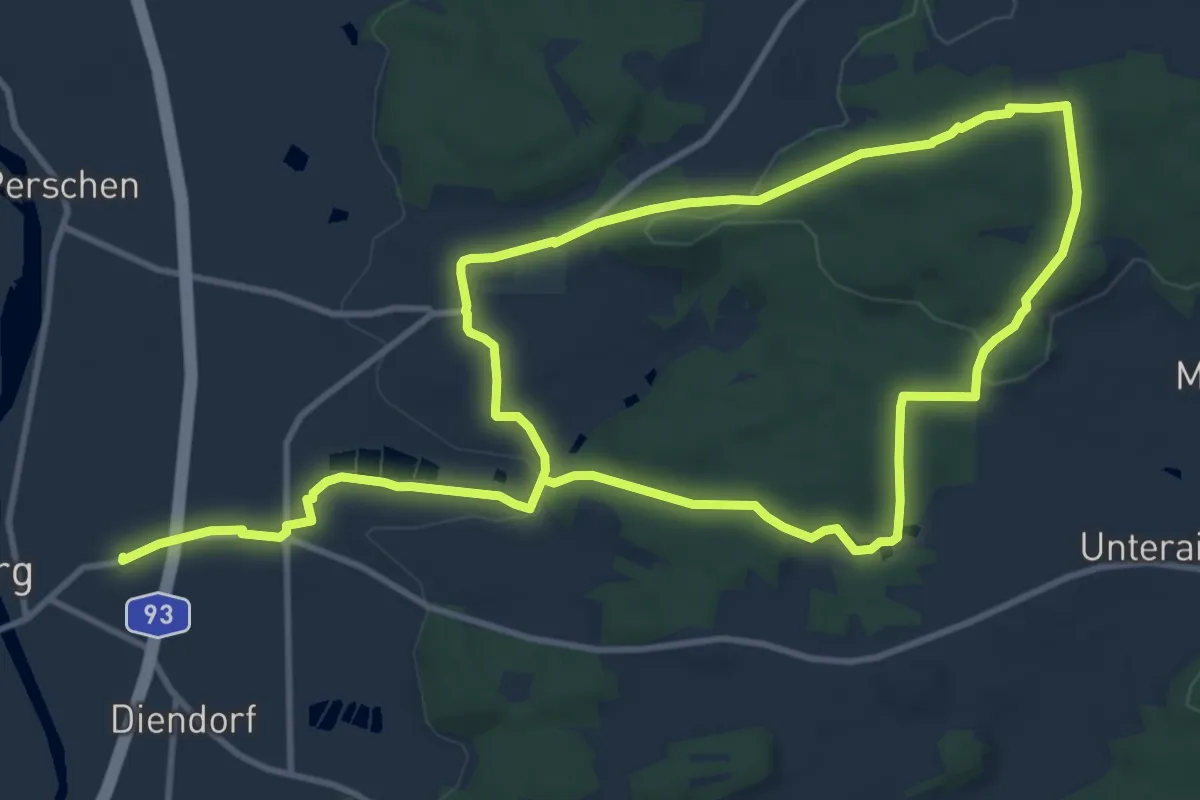
Medium · Summit
Häuslberg-Weg
9.9 km · ↑ 201 m · 2 h 54 min
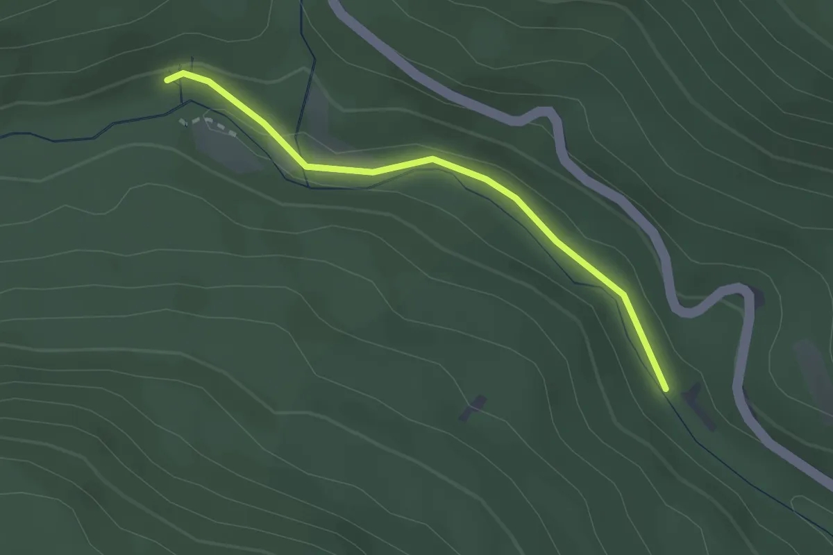
Easy · Trail
Häuslehütte - Teufelsmühle
2.3 km · ↑ 78 m · 42 min
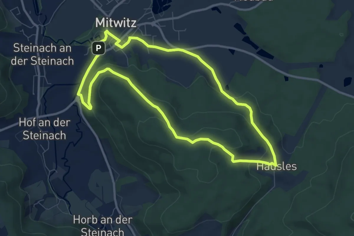
Easy · Summit
Häusles-Weg KC 31
7.3 km · ↑ 186 m · 2 h 14 min
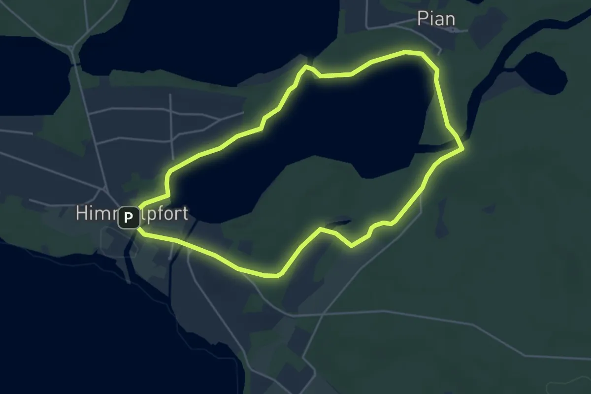
Easy · Summit
Hausseerundweg
3.9 km · ↑ 17 m · 1 h
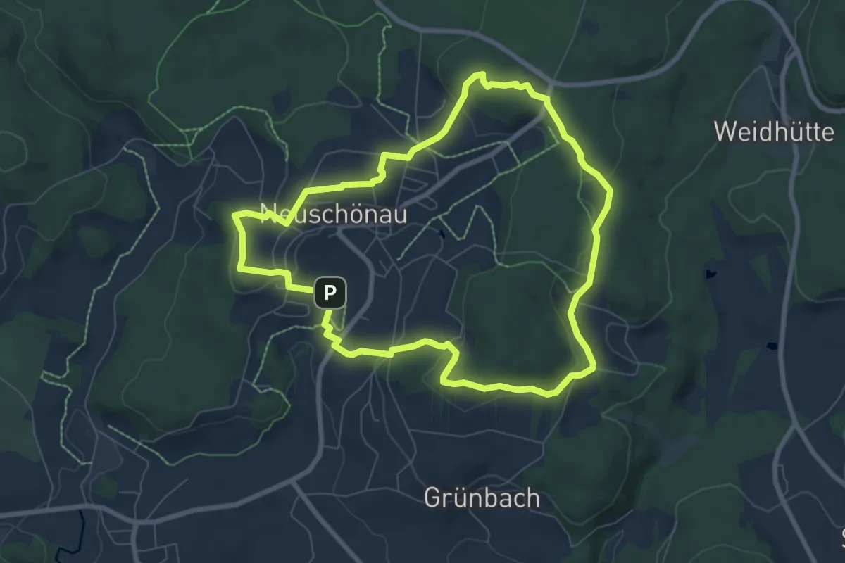
Easy · Trail
Haustaube
6.9 km · ↑ 175 m · 2 h 6 min
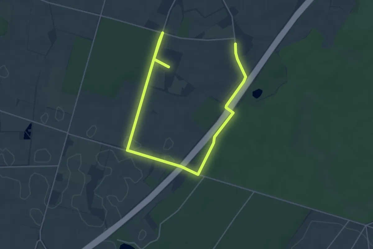
Easy · Trail
Haus Waldfrieden Rundweg A0
2.9 km · ↑ 9 m · 45 min
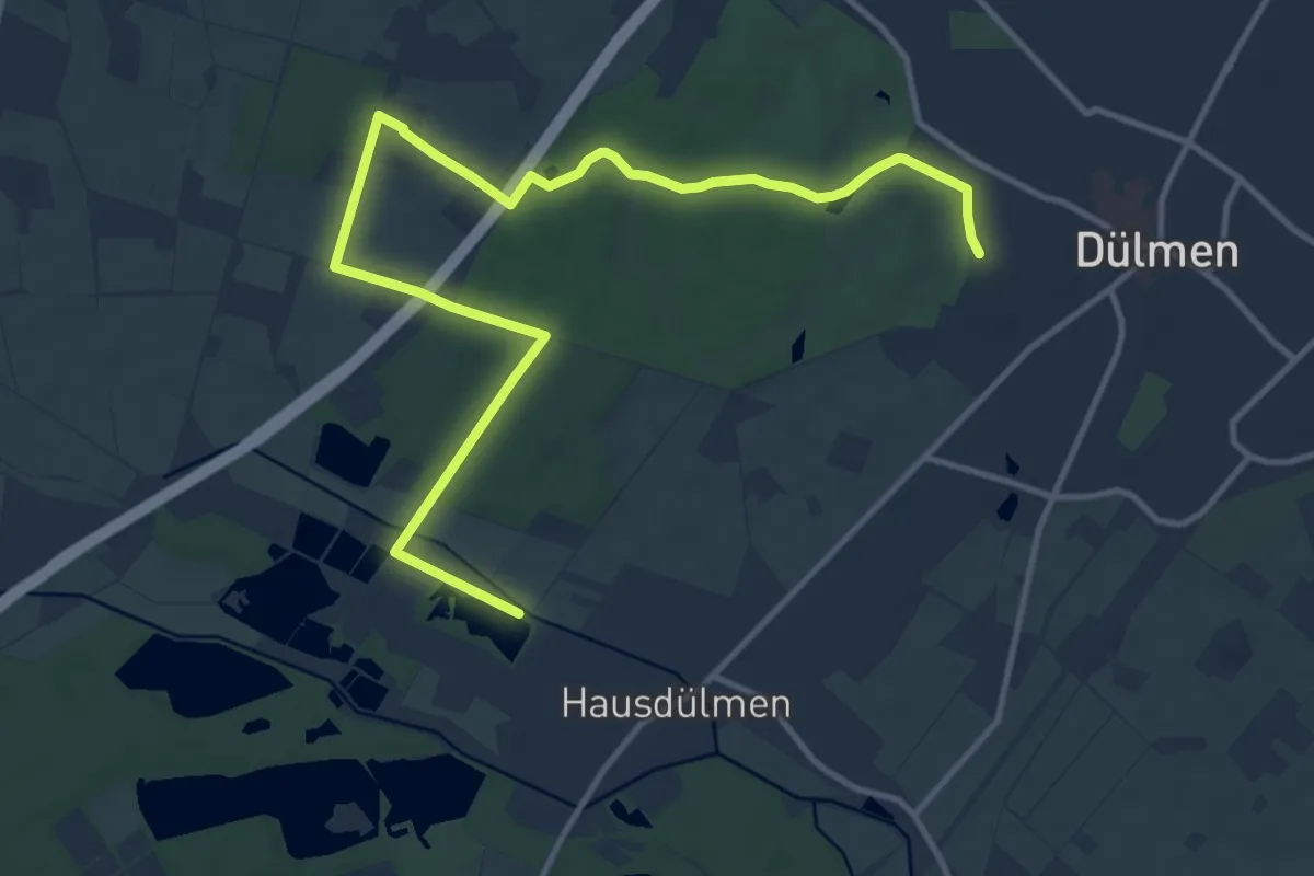
Easy · Trail
Haus Waldfrieden Rundweg A6
6.8 km · ↑ 27 m · 1 h 46 min
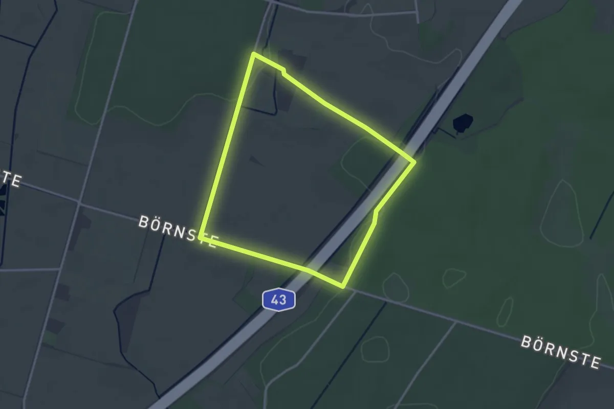
Easy · Trail
Haus Waldfrieden Rundweg A7
2.5 km · ↑ 9 m · 39 min
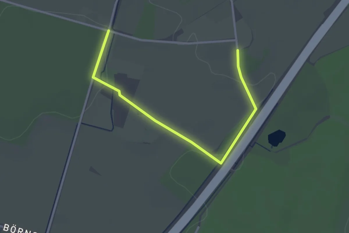
Easy · Trail
Haus Waldfrieden Rundweg A8
1.4 km · ↑ 8 m · 22 min
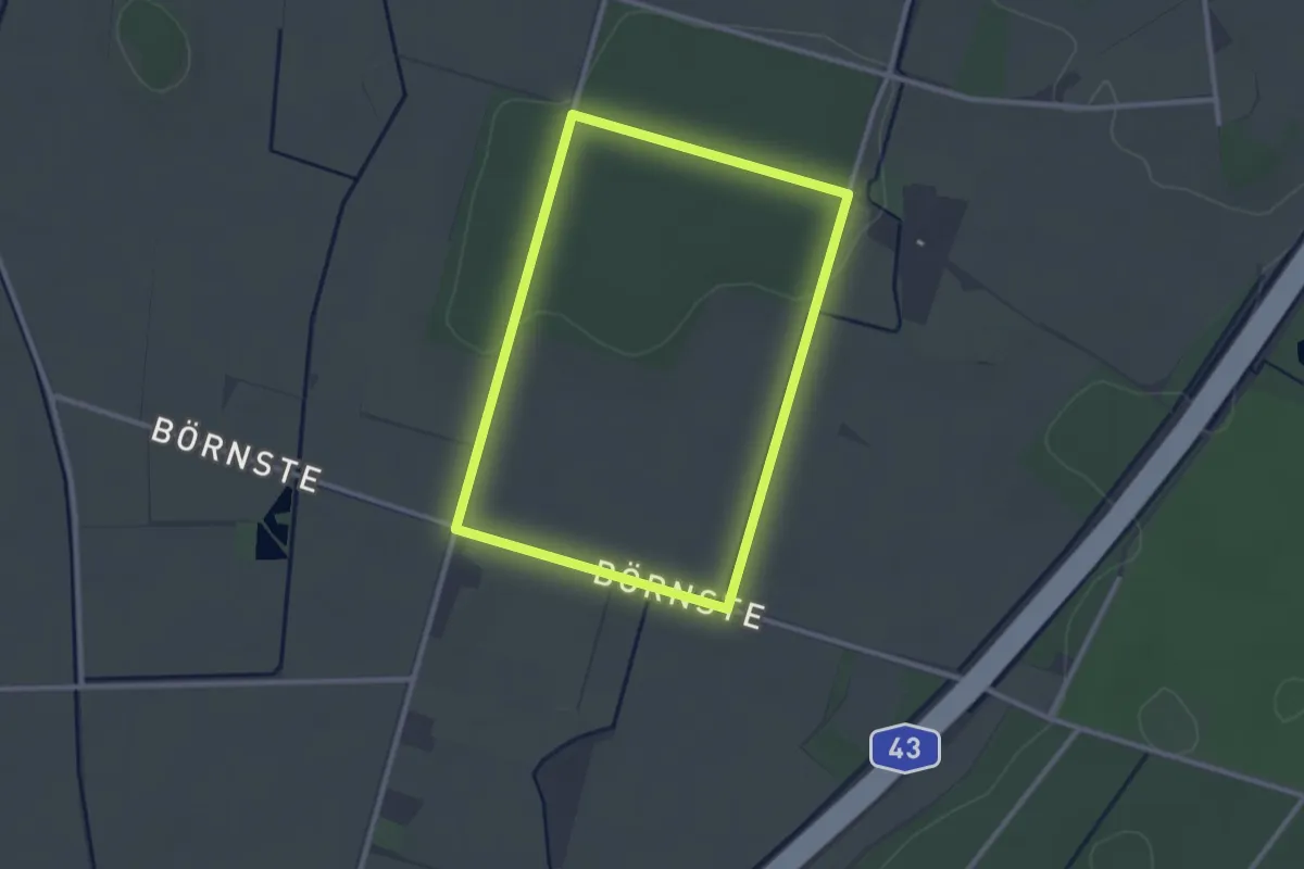
Easy · Trail
Haus Waldfrieden Rundweg A9
2.3 km · ↑ 18 m · 37 min
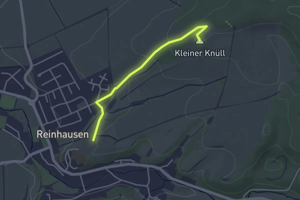
Easy · Summit
Hautflügler-Lehrpfad Reinhausen
2.7 km · ↑ 76 m · 48 min
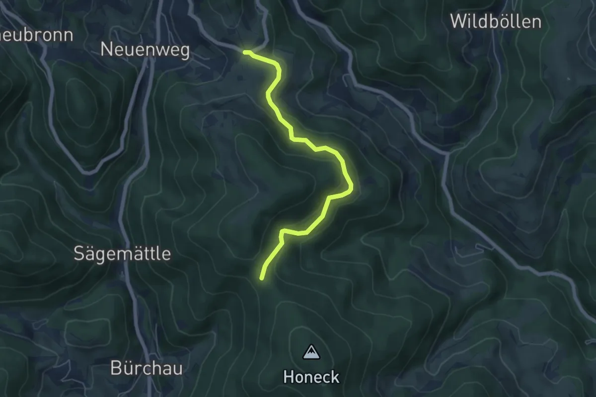
Easy · Trail
Hau - Zeiger
5.1 km · ↑ 245 m · 1 h 44 min
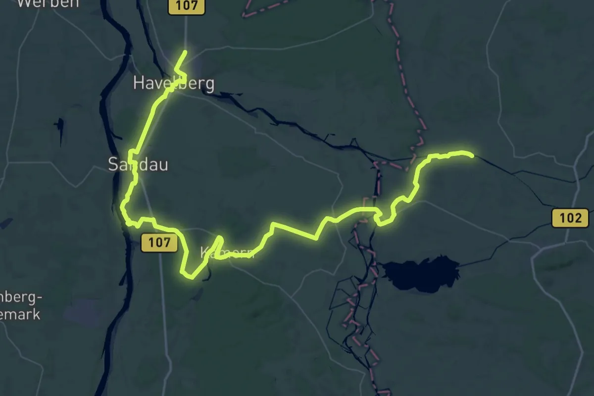
Demanding · Trail
Havel-Elbe-Wanderweg
38.2 km · ↑ 75 m · 9 h 42 min
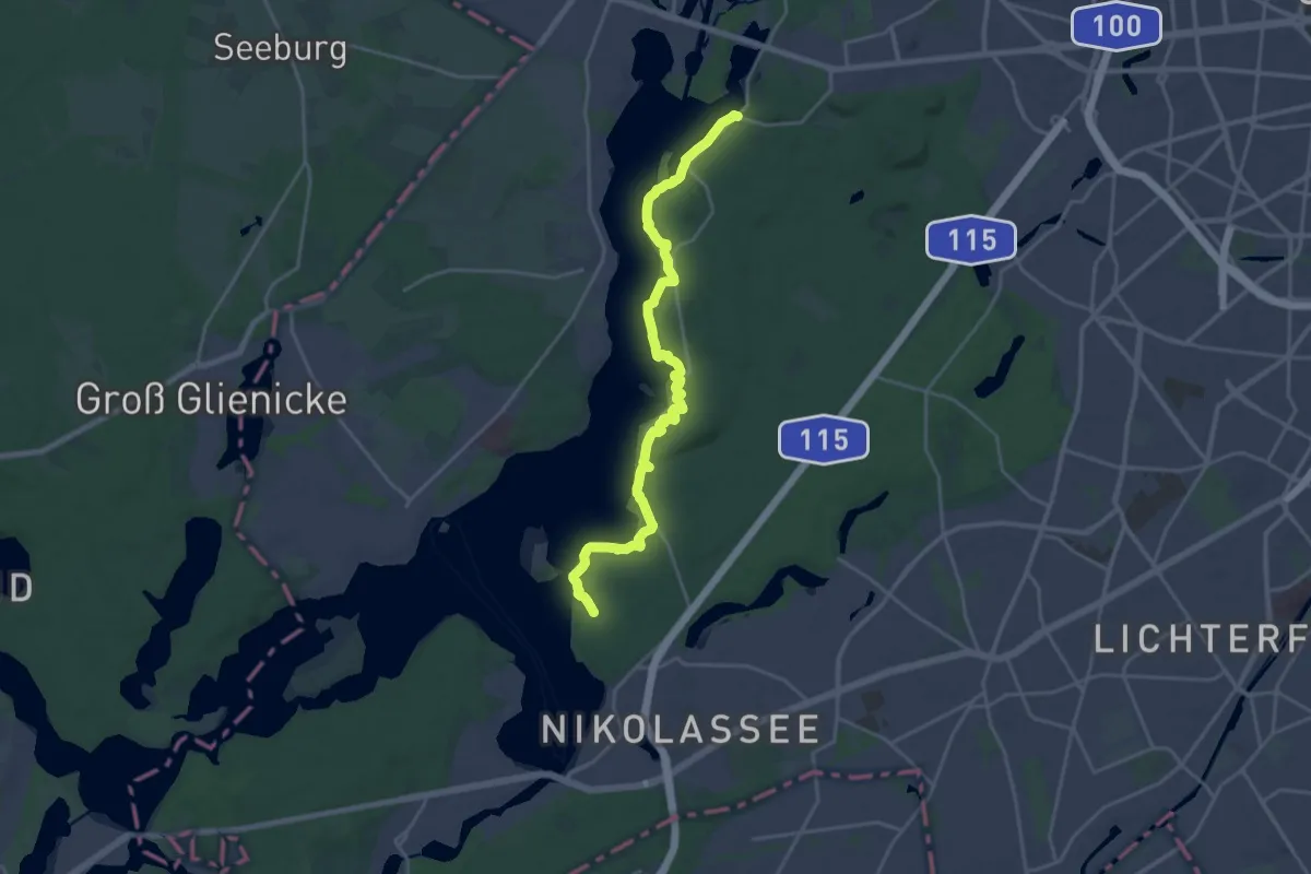
Demanding · Trail
Havelhöhenweg
19.9 km · ↑ 346 m · 5 h 27 min
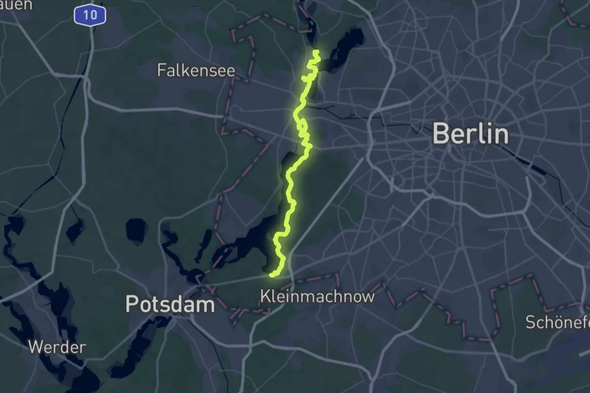
Demanding · Trail
Havelseenweg
27.0 km · ↑ 117 m · 7 h
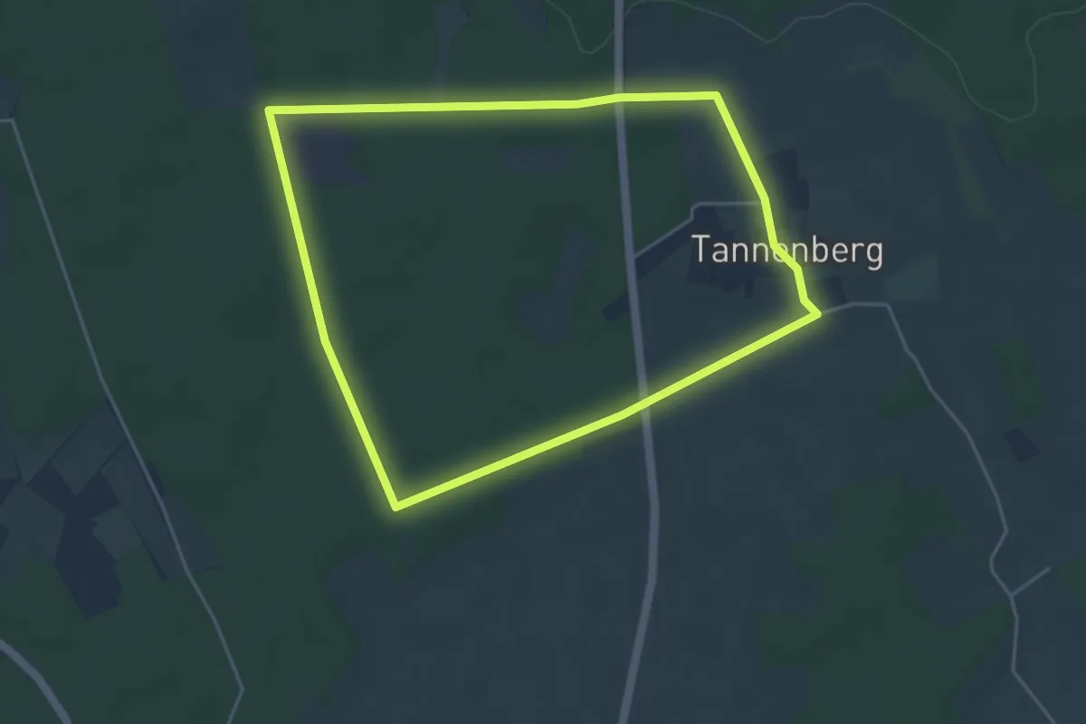
Easy · Trail
Haversberg Rundweg A4
4.0 km · ↑ 14 m · 1 h 2 min
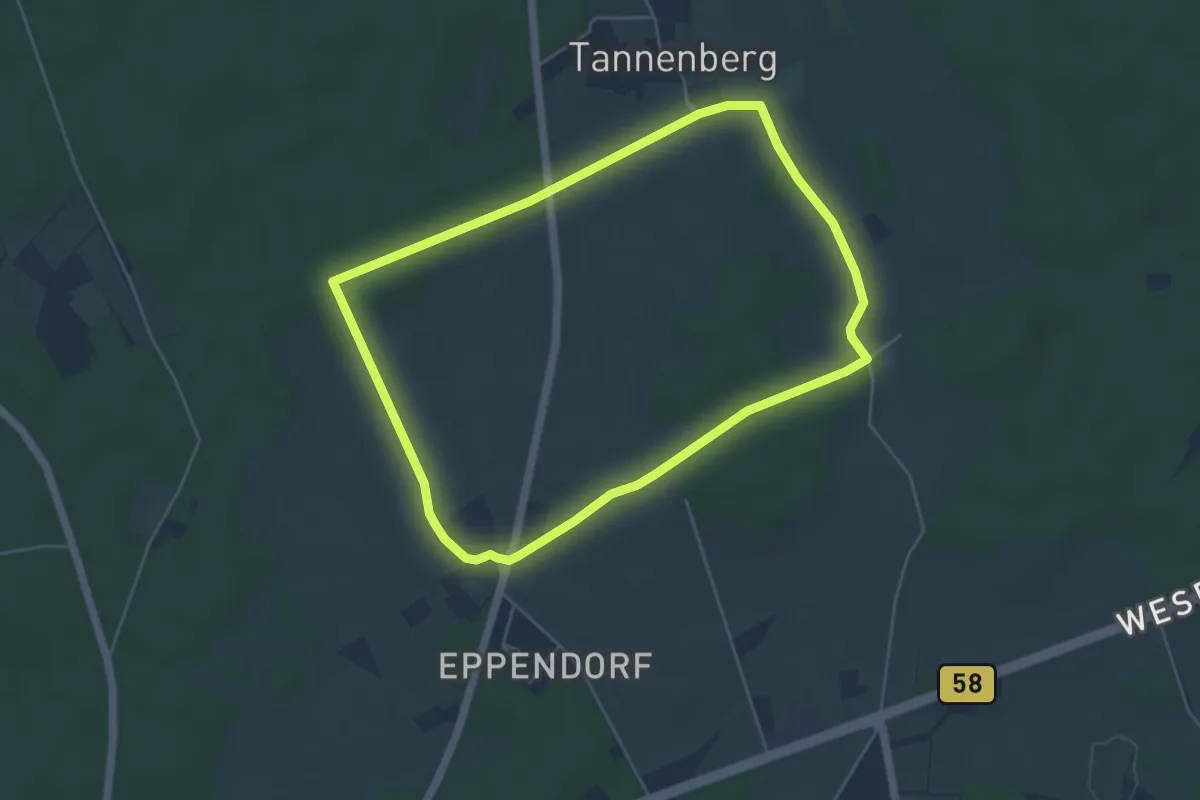
Easy · Trail
Haversberg Rundweg A6
4.5 km · ↑ 37 m · 1 h 12 min
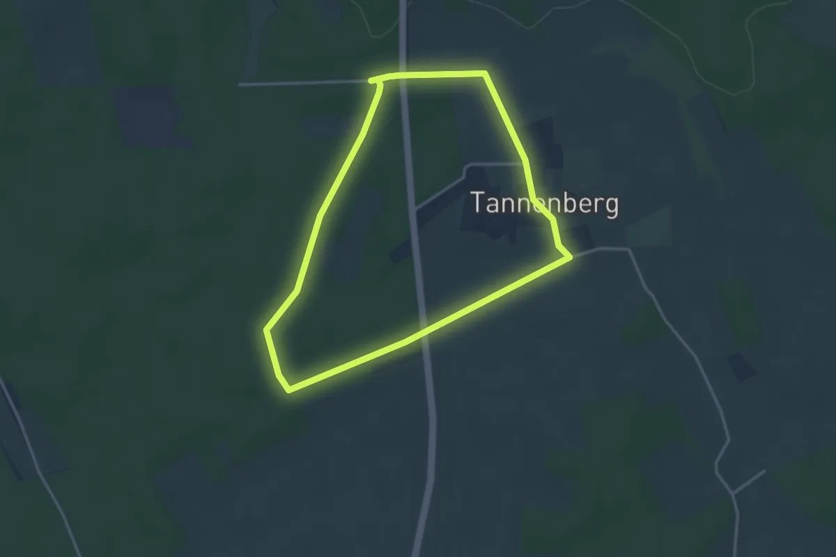
Easy · Trail
Haversberg Rundweg A7
3.0 km · ↑ 17 m · 47 min
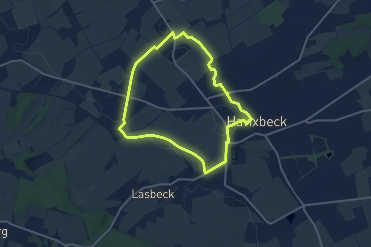
Easy · Trail
Havixbeck Rundweg H1
6.0 km · ↑ 26 m · 1 h 34 min
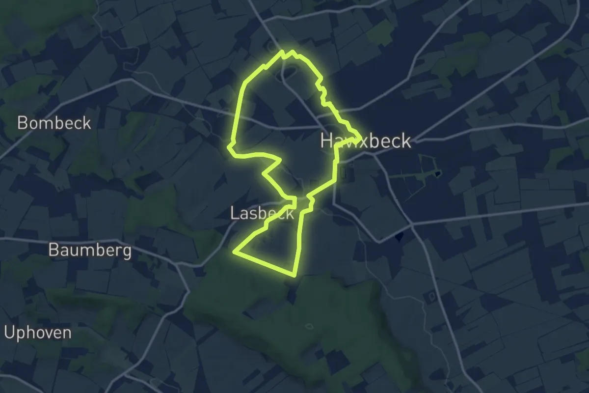
Medium · Trail
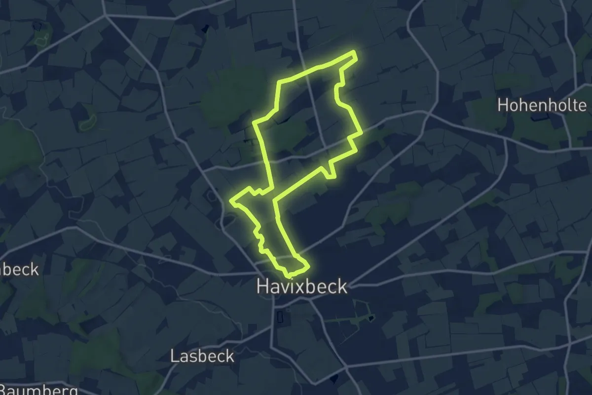
Havixbeck Rundweg H2
9.4 km · ↑ 96 m · 2 h 33 min
Medium · Trail
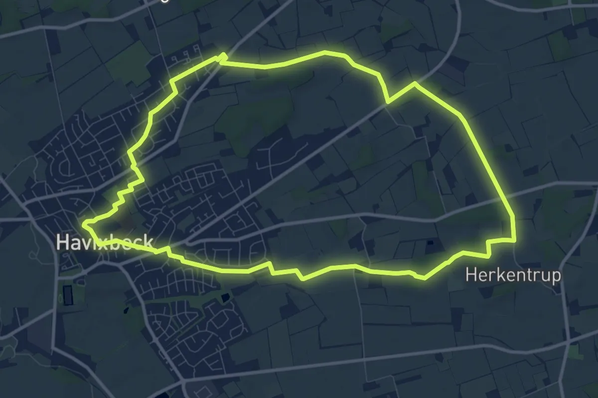
Havixbeck Rundweg H3
9.7 km · ↑ 30 m · 2 h 29 min
Medium · Trail
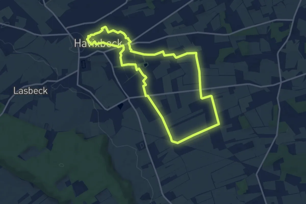
Havixbeck Rundweg H4
9.4 km · ↑ 40 m · 2 h 27 min
Medium · Trail
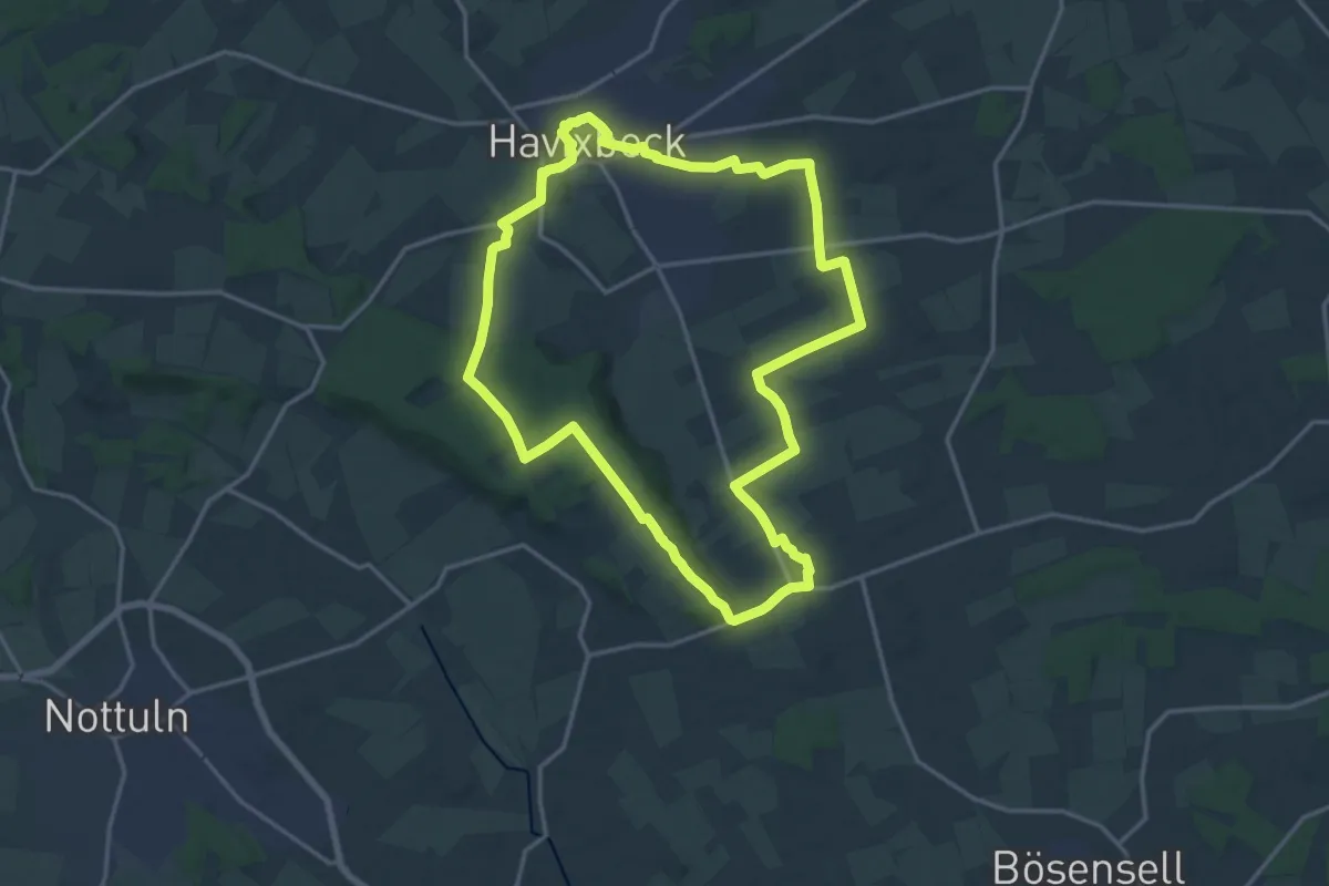
Havixbeck Rundweg H5
9.1 km · ↑ 18 m · 2 h 18 min
Medium · Trail
Havixbeck Rundweg H6
15.1 km · ↑ 153 m · 4 h 7 min
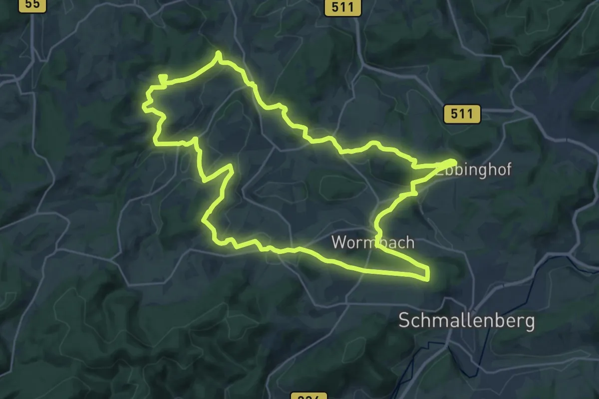
Demanding · Trail
Hawerländer Mythenweg
23.3 km · ↑ 554 m · 7 h 1 min
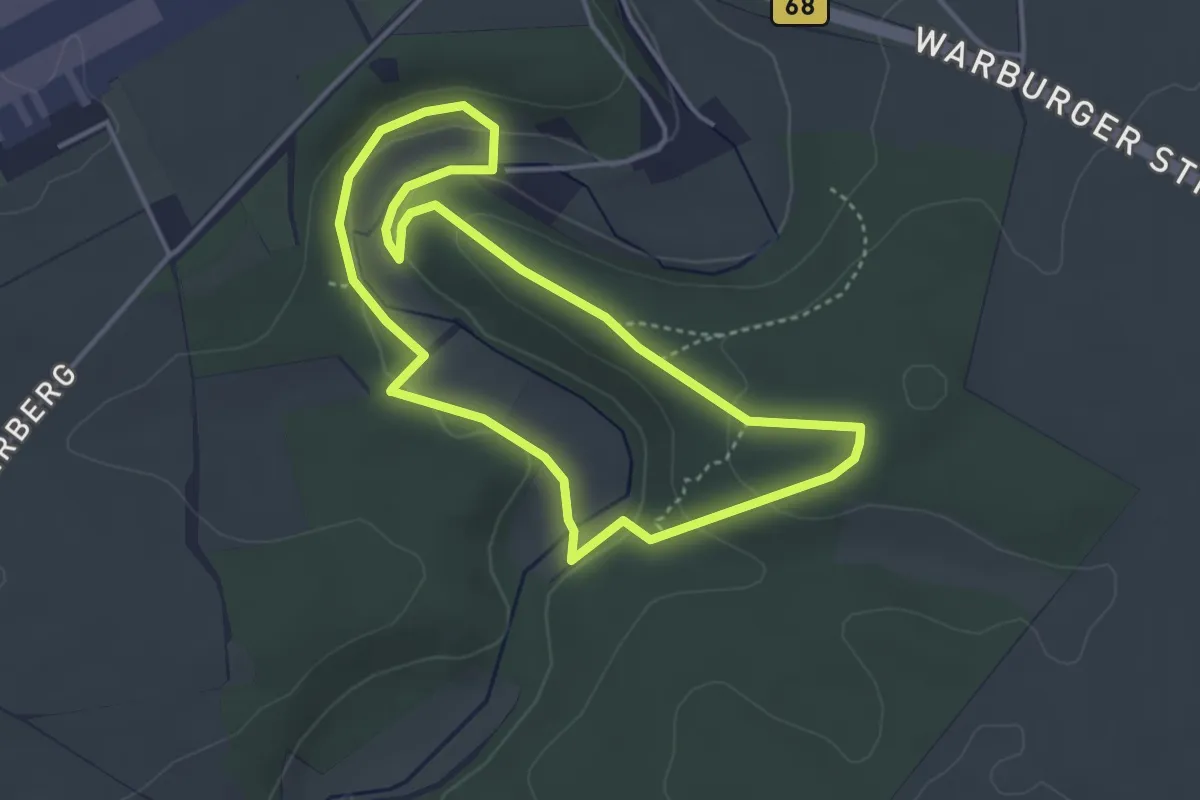
Easy · Trail
Haxtergrund Rundweg Blau
3.3 km · ↑ 89 m · 1 h 1 min
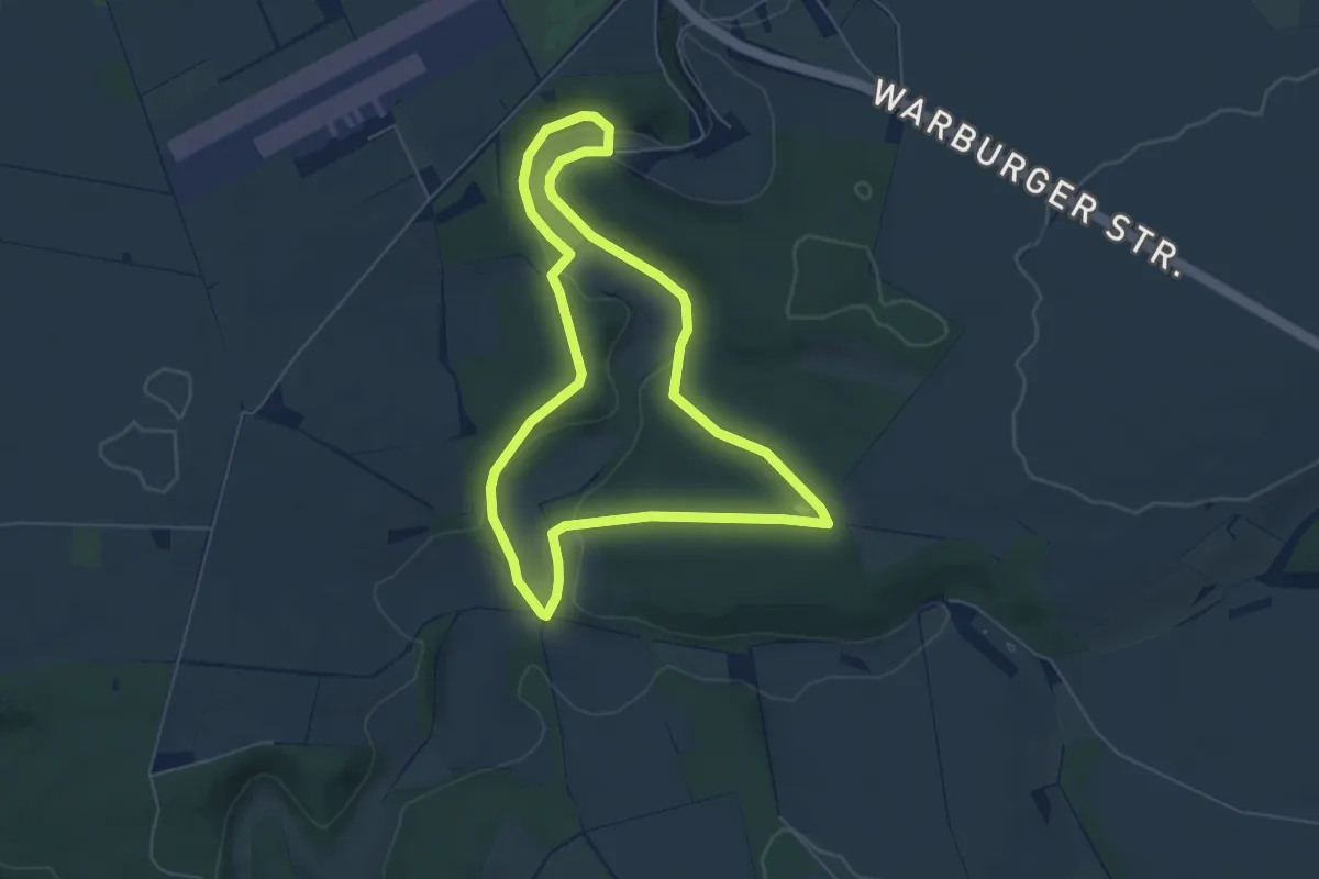
Easy · Trail
Haxtergrund Rundweg Gelb
5.1 km · ↑ 105 m · 1 h 30 min
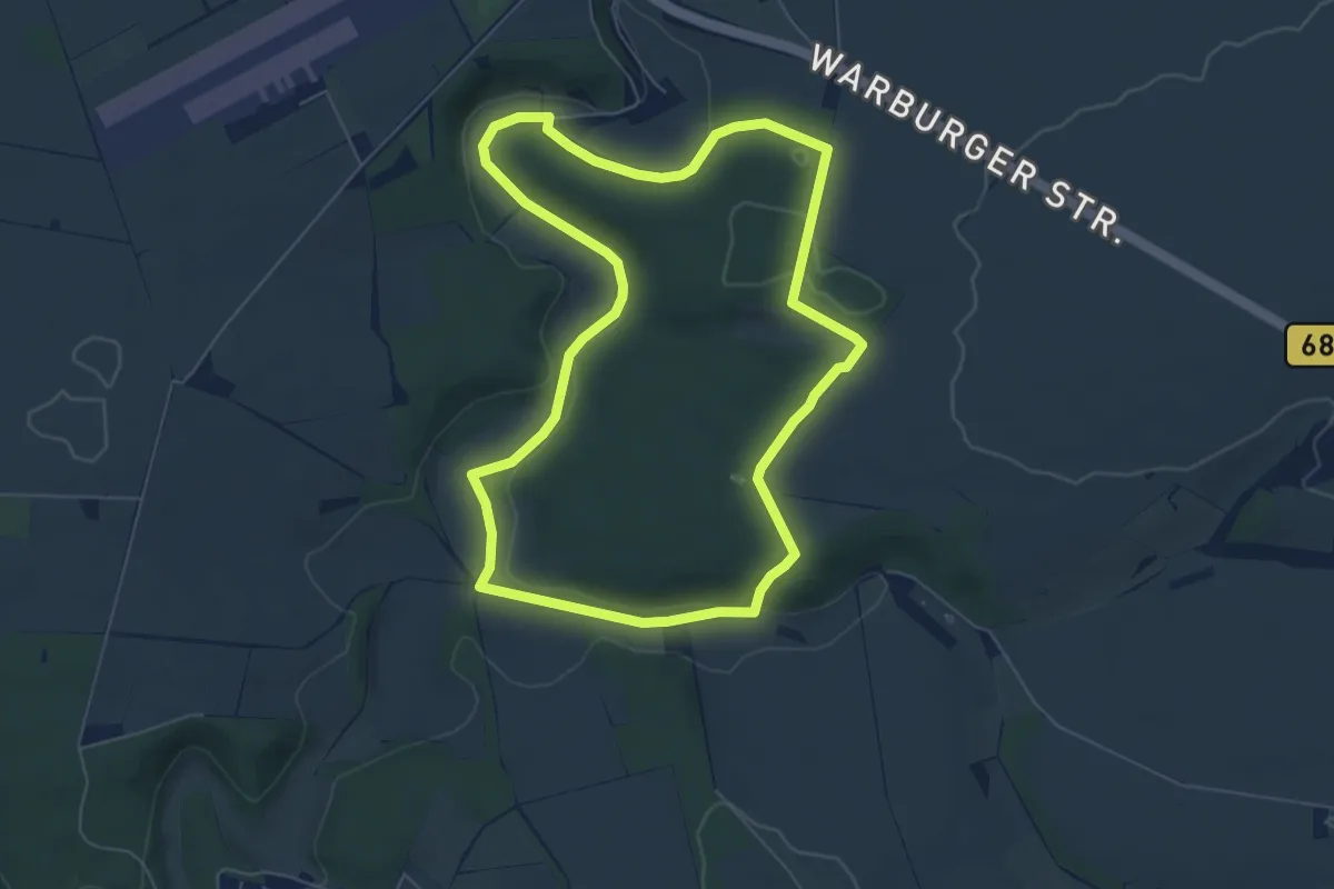
Easy · Trail
Haxtergrund Rundweg Rot
5.9 km · ↑ 83 m · 1 h 39 min
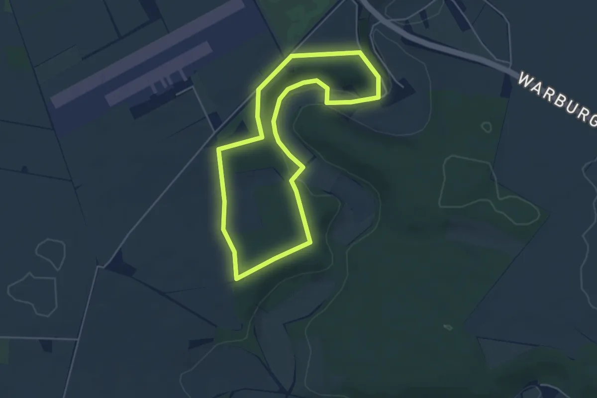
Easy · Trail
Haxtergrund Rundweg Violett
3.9 km · ↑ 77 m · 1 h 8 min
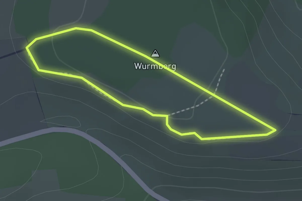
Easy · Summit
Haynrunde
1.6 km · ↑ 19 m · 26 min
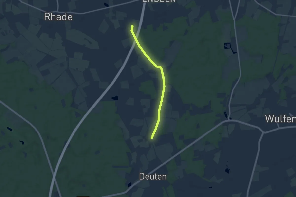
Easy · Trail
H Deuten - SGV-Heim Endeln
7.2 km · ↑ 21 m · 1 h 45 min
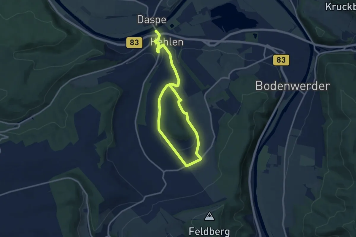
Medium · Trail
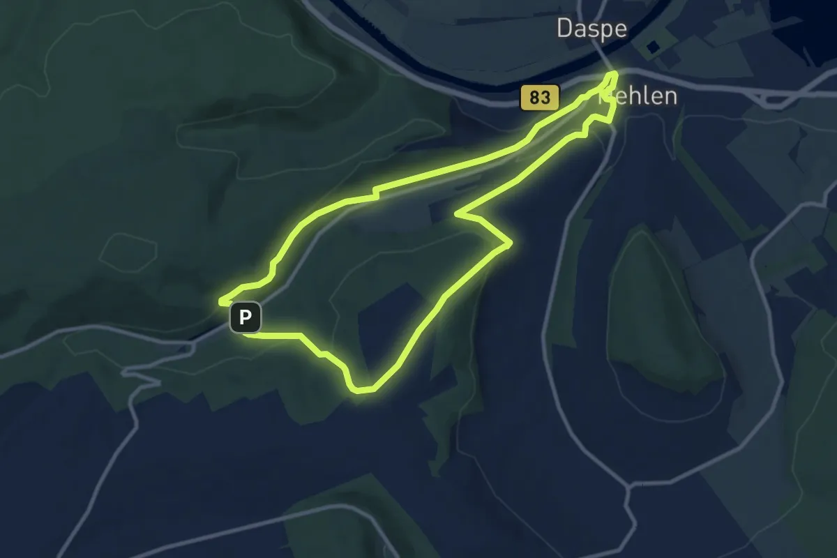
HE1 Rund um den Schiffberg
13.1 km · ↑ 327 m · 3 h 48 min
Medium · Trail
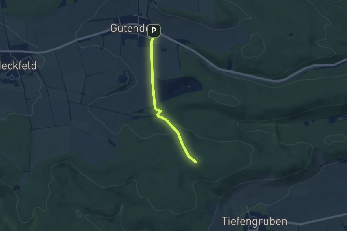
HE2 Wanderung Sievershagener Tal und Övelgönner Hochplateau
9.0 km · ↑ 245 m · 2 h 47 min
Easy · Summit
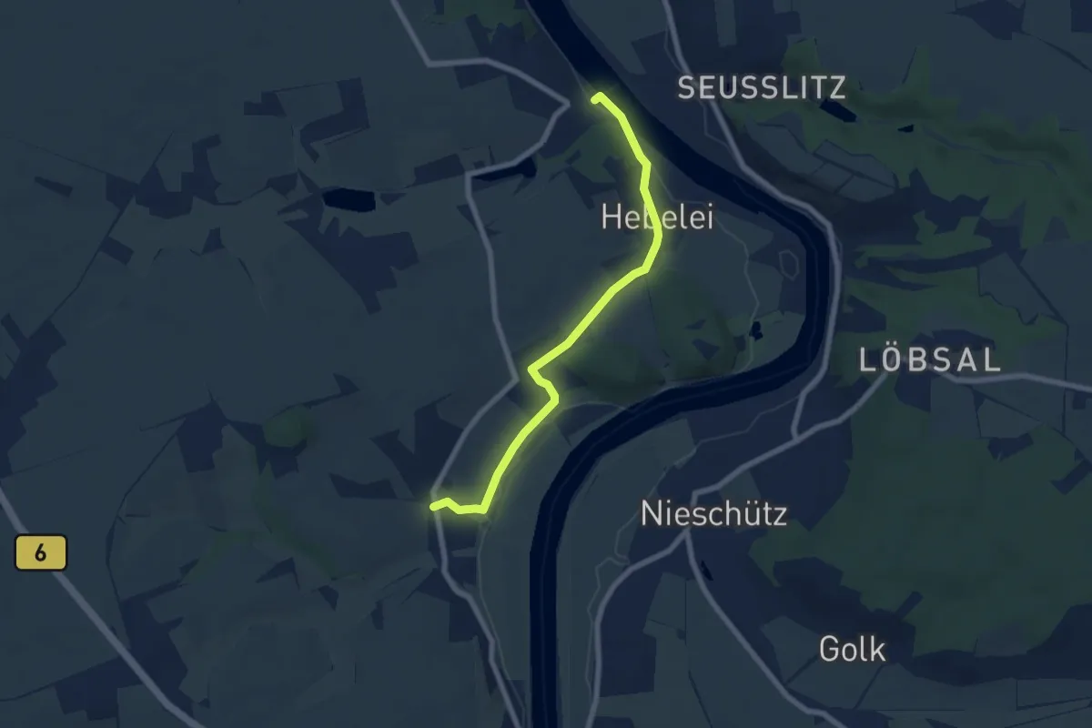
Hebammenweg
3.8 km · ↑ 59 m · 1 h 2 min
Easy · Trail
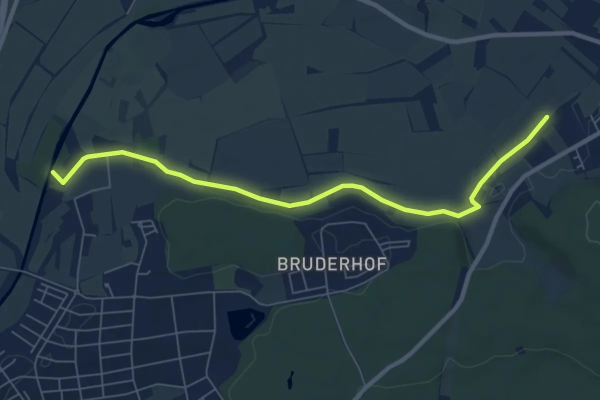
Hebelei-Rundweg
3.0 km · ↑ 28 m · 49 min
Easy · Trail
Hebsäcker - Aachbrücke Remishof
6.3 km · ↑ 31 m · 1 h 34 min
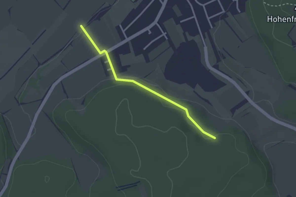
Easy · Trail
Hebsäcker - Am Buchberg
2.3 km · ↑ 50 m · 39 min
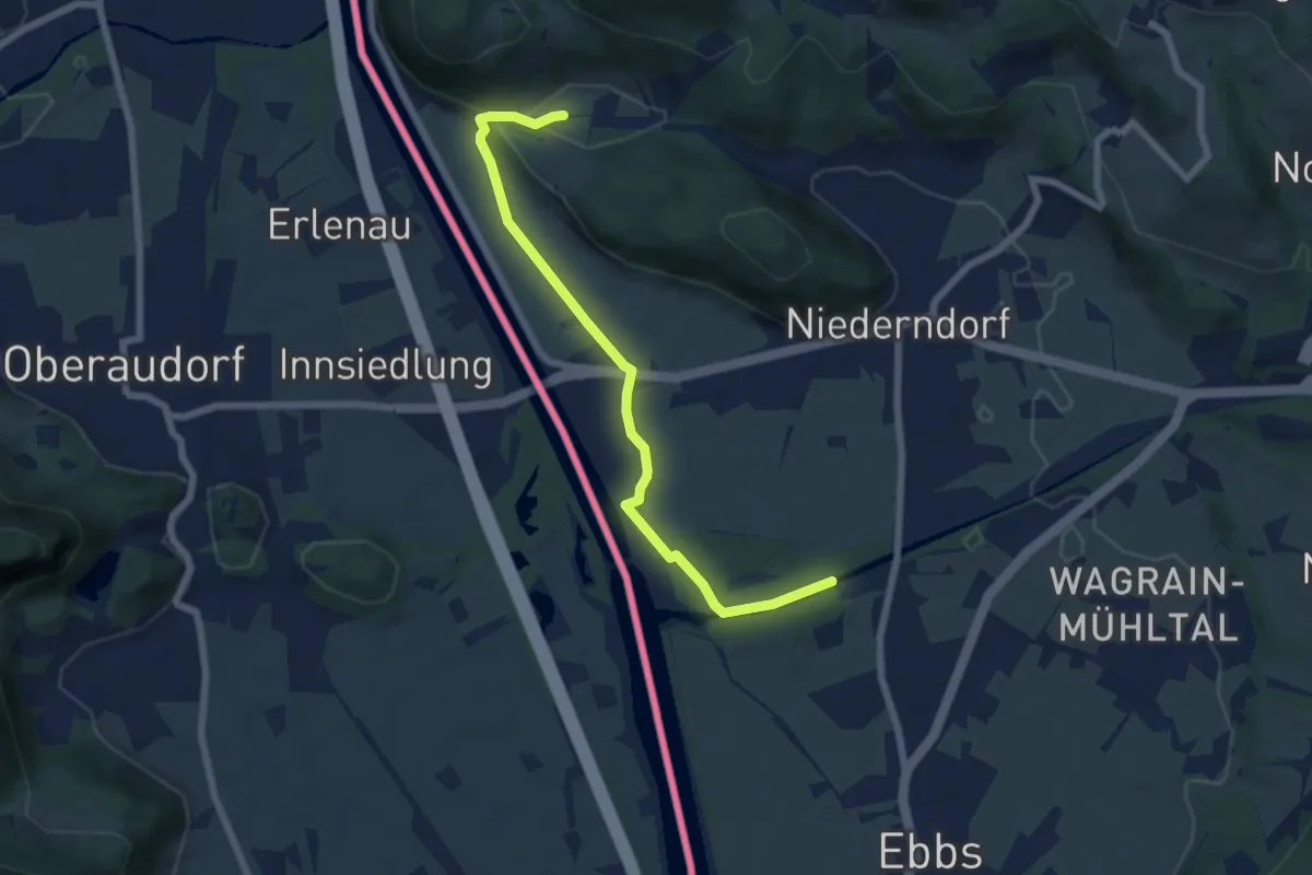
Easy · Trail
Hechenberg-Runde
6.5 km · ↑ 34 m · 1 h 37 min
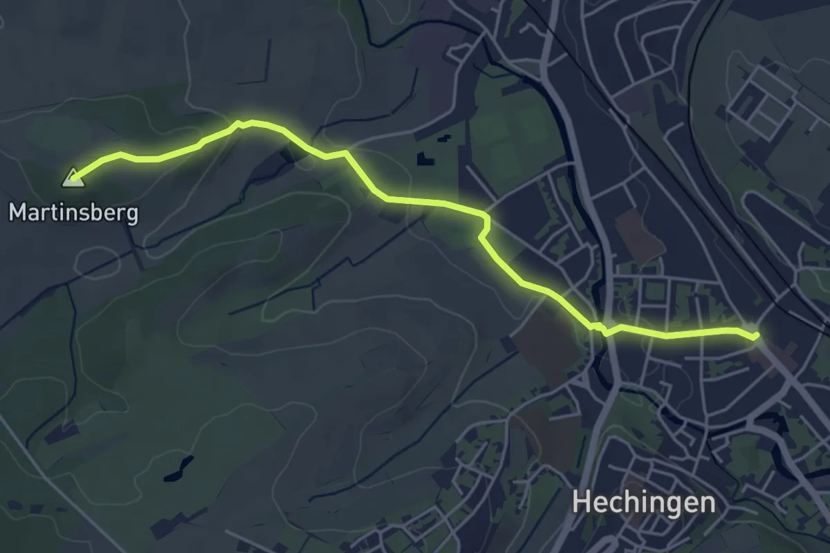
Easy · Summit
Hechingen - Martinsberg
4.8 km · ↑ 77 m · 1 h 18 min
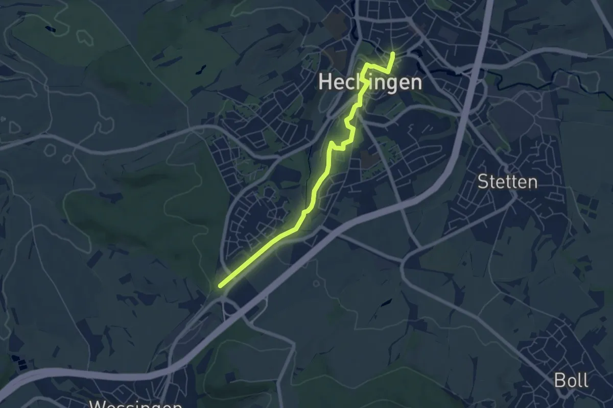
Easy · Trail
Hechingen Staig - Bhf Zollern
5.8 km · ↑ 94 m · 1 h 34 min
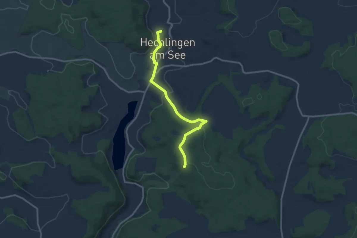
Easy · Trail
Hechlingen Wanderweg 18
7.1 km · ↑ 154 m · 2 h
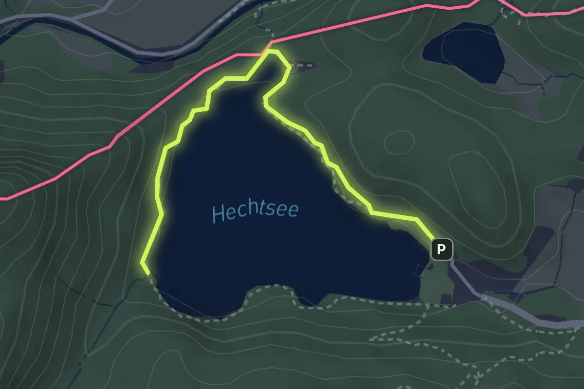
Easy · Trail
Hechtsee-Runde
1.6 km · ↑ 18 m · 26 min
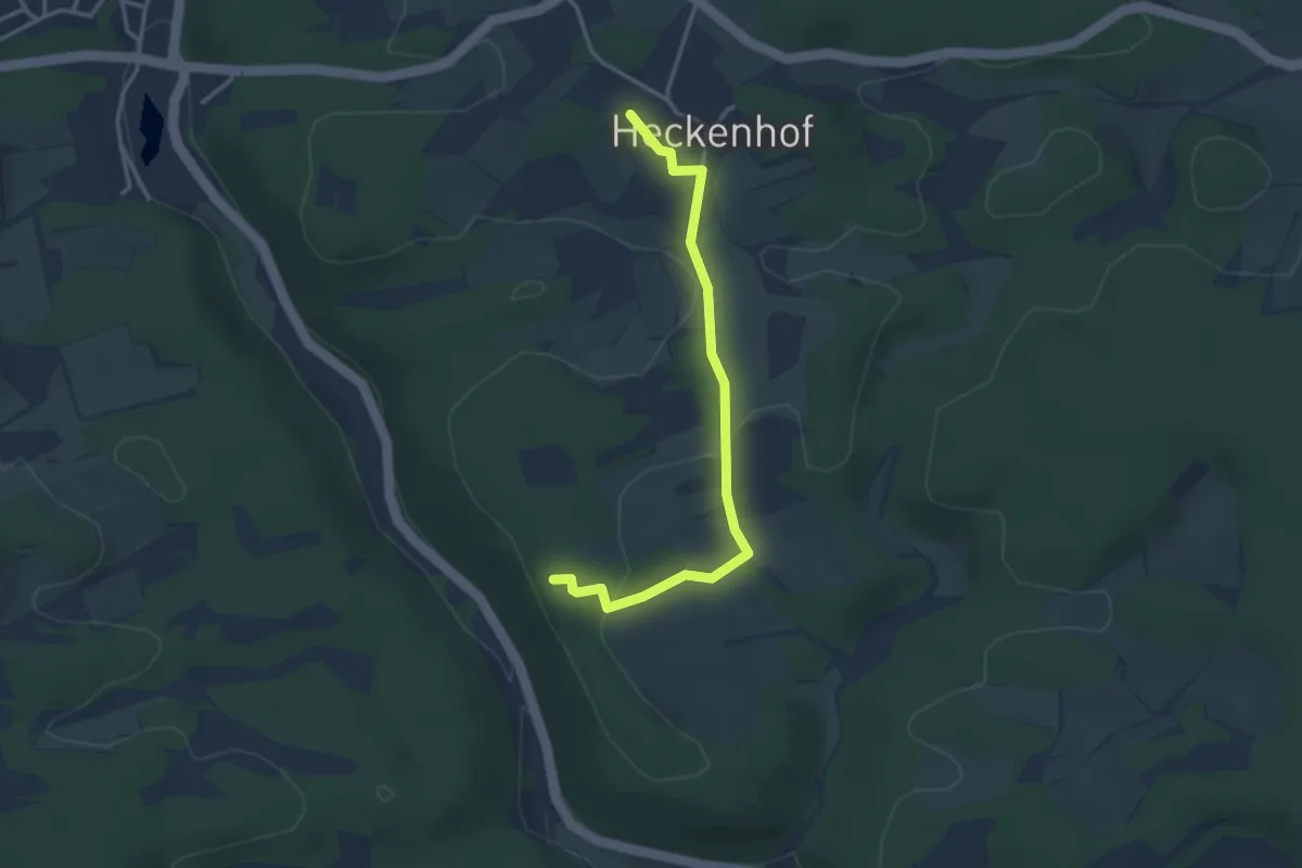
Easy · Trail
Heckenhof Wanderweg St. Friedel
3.1 km · ↑ 61 m · 52 min
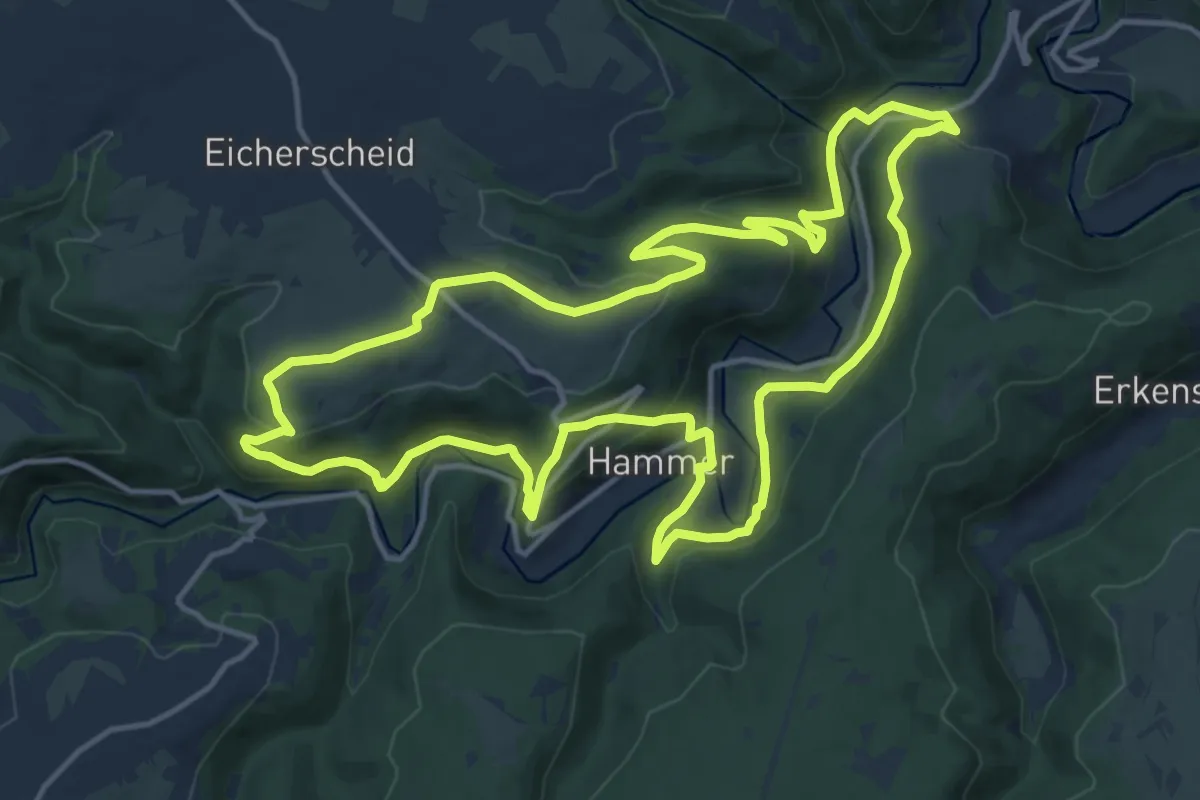
Medium · Trail
Heckenlandroute
14.2 km · ↑ 517 m · 4 h 40 min
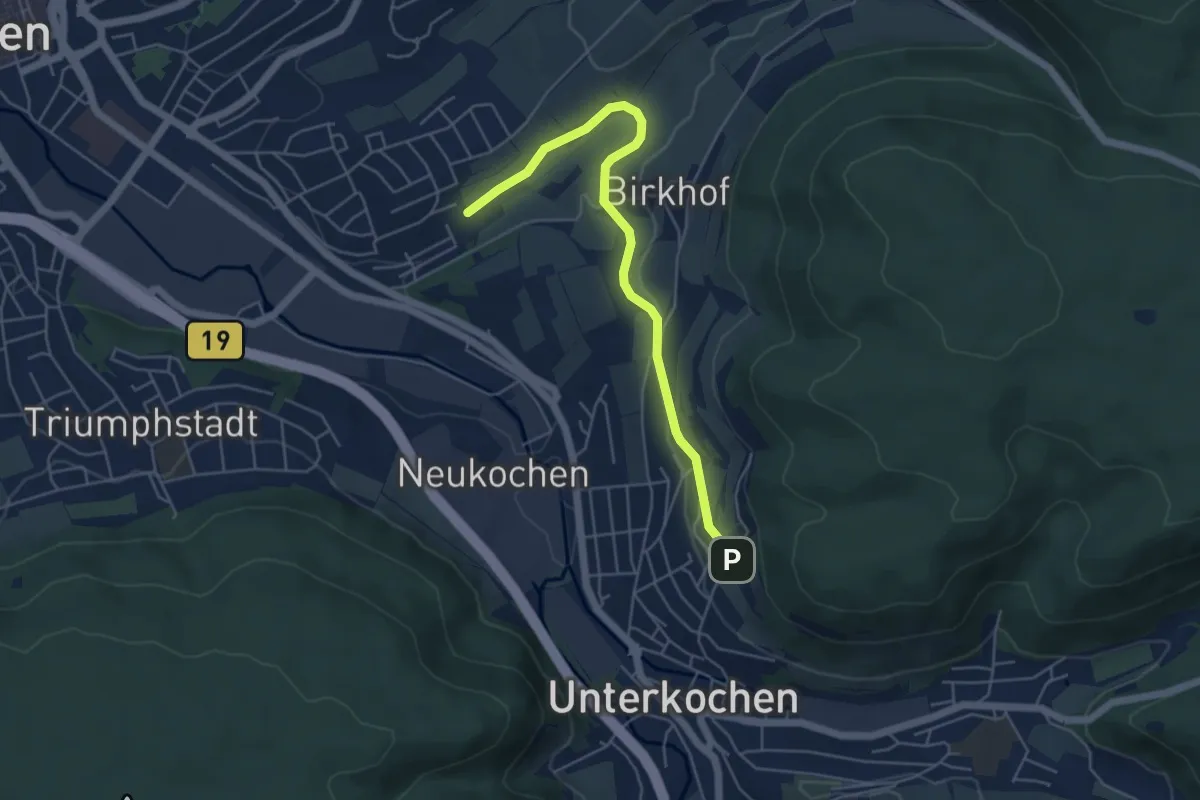
Easy · Trail
Heckenpfad
5.0 km · ↑ 75 m · 1 h 20 min
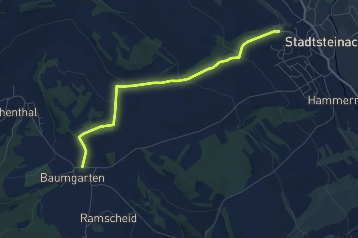
Easy · Trail
Heckenweg
6.4 km · ↑ 158 m · 1 h 51 min
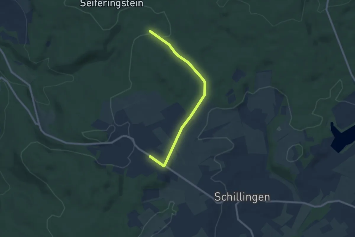
Easy · Trail
Heddert 1
5.6 km · ↑ 56 m · 1 h 27 min
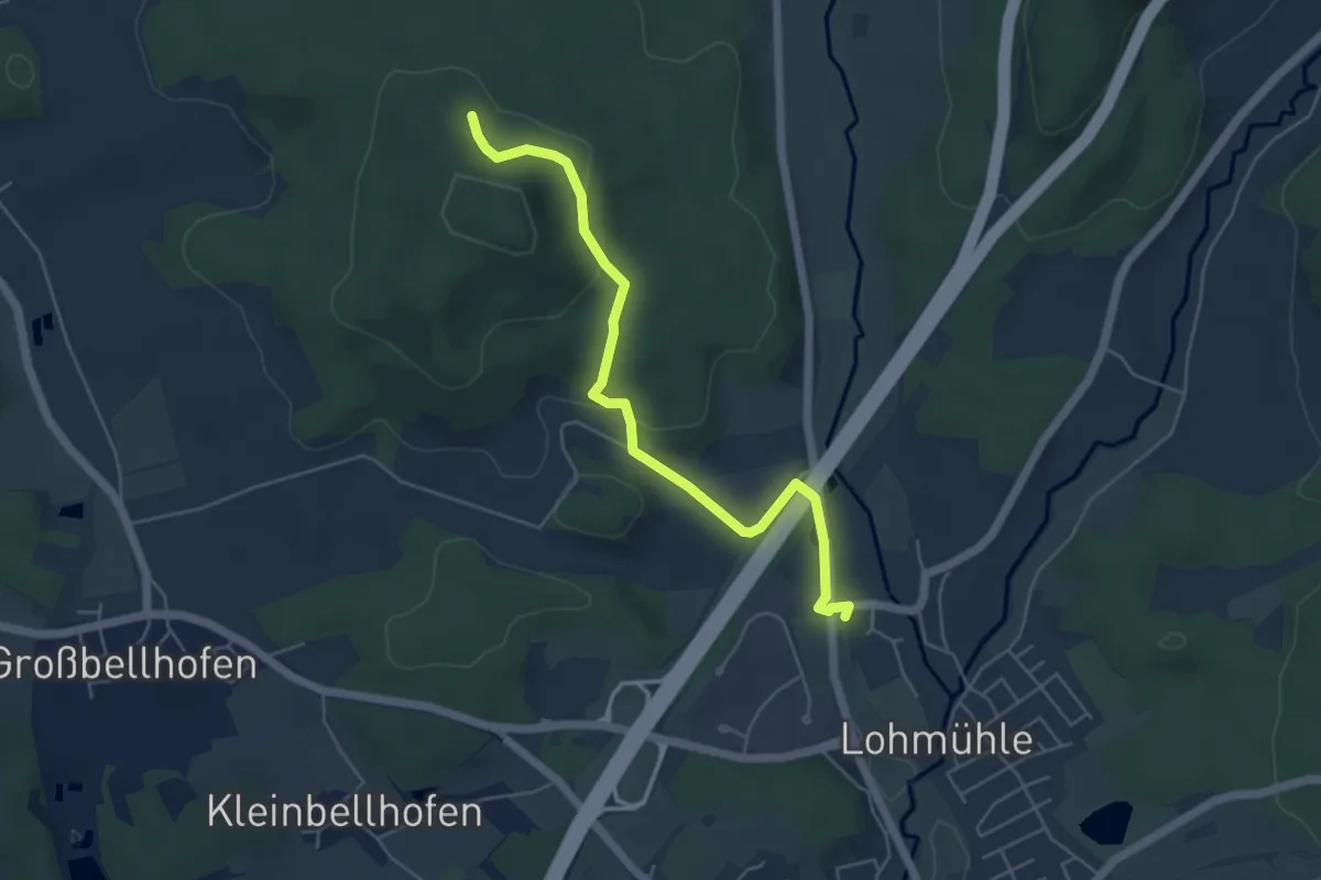
Easy · Trail
Hedersdorf – Frankenweg
4.9 km · ↑ 133 m · 1 h 27 min