Trails in Germany
36,852 hiking trails, each with its route, climb, walking time and grade.
All trails, page 256 of 768
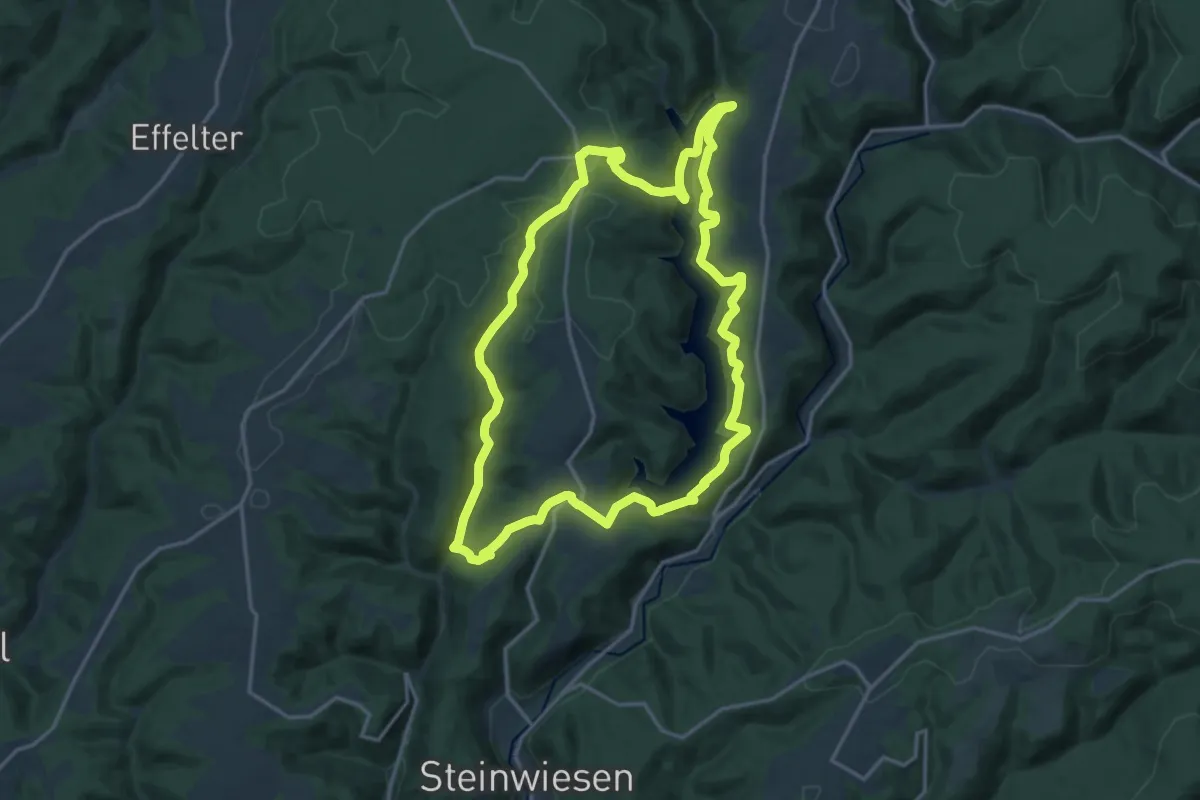
Medium · Trail
Hubertus-Weg RT 25
15.7 km · ↑ 552 m · 5 h 7 min
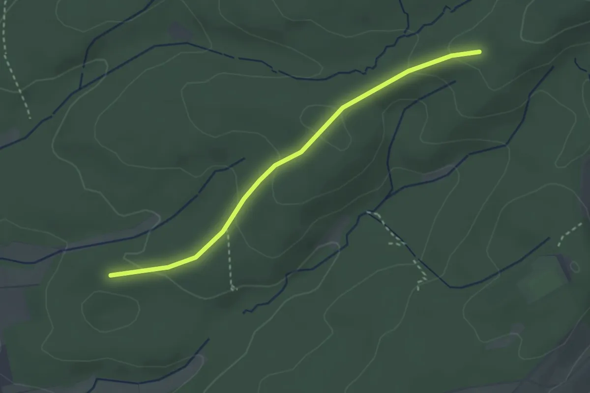
Easy · Trail
Hüblich - Kieserstraße
2.8 km · ↑ 107 m · 54 min
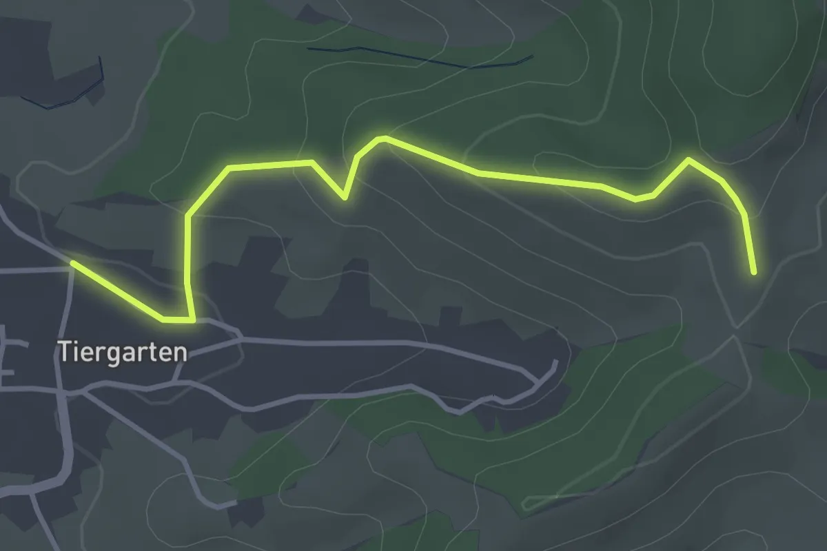
Easy · Trail
Hubneck - Ochsengrund
3.4 km · ↑ 177 m · 1 h 12 min
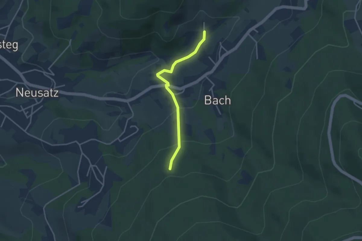
Easy · Trail
Hubrütte - Mättig
2.6 km · ↑ 143 m · 55 min
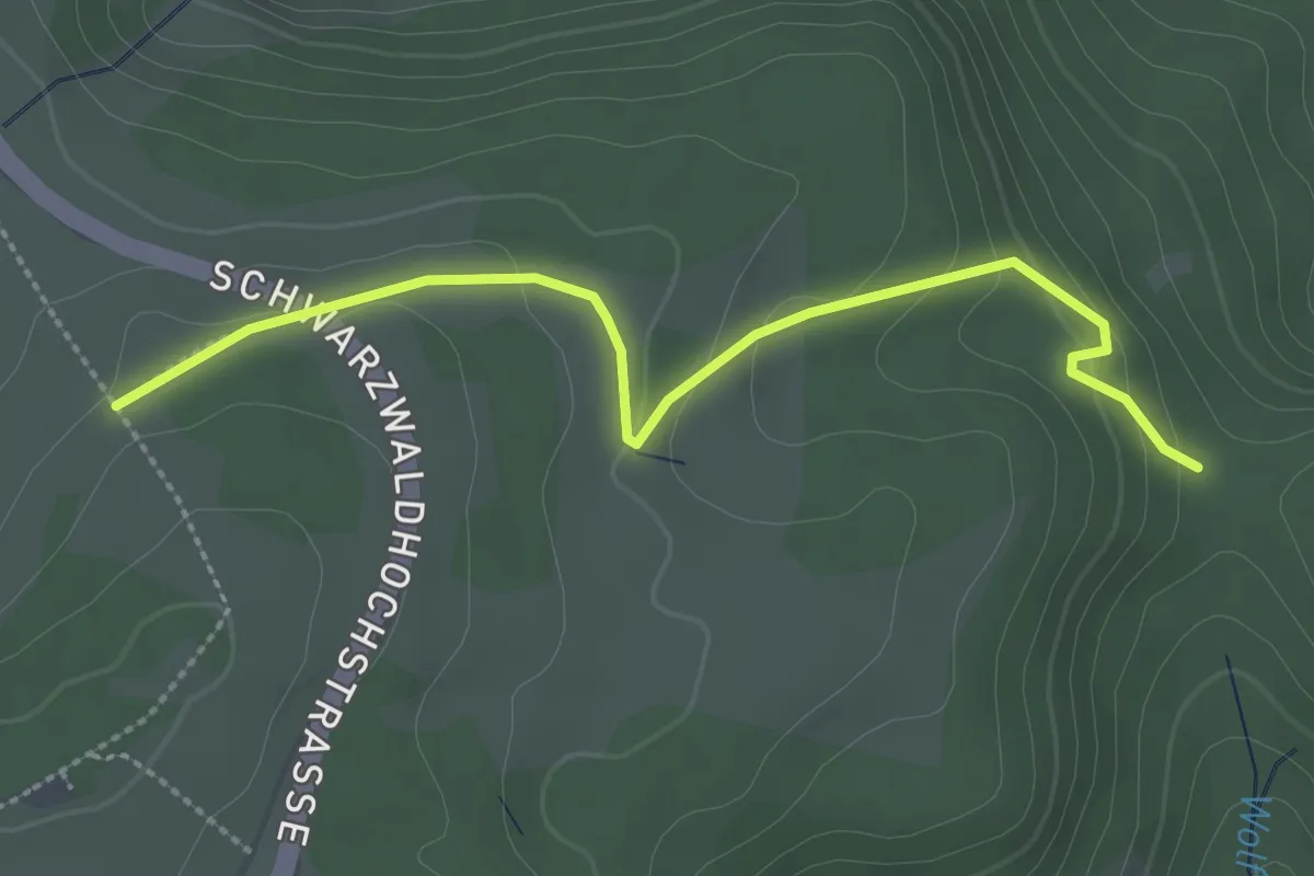
Easy · Trail
Hübscher Platz - Roter Schliff
2.8 km · ↑ 126 m · 56 min
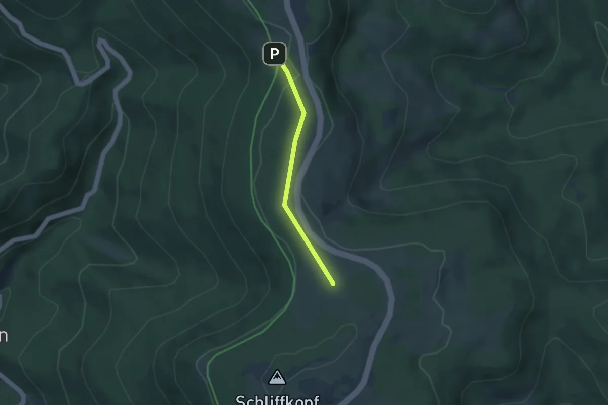
Easy · Trail
Hübscher Platz - Schweinkopf
2.4 km · ↑ 43 m · 40 min
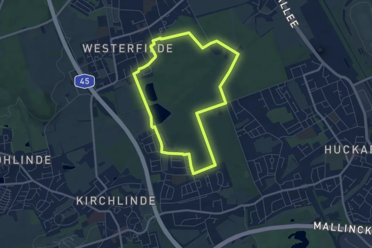
Easy · Trail
Huckarde Rundweg H1
5.7 km · ↑ 43 m · 1 h 31 min
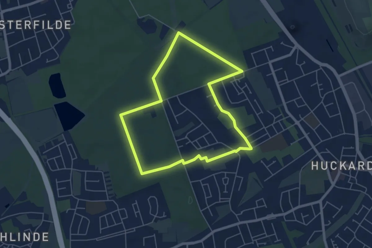
Easy · Trail
Huckarde Rundweg H2
4.5 km · ↑ 26 m · 1 h 11 min
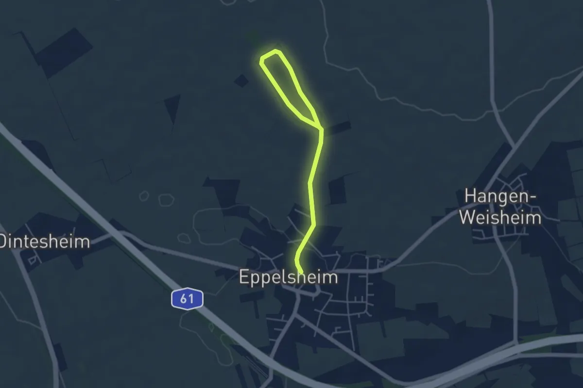
Easy · Trail
Huckenhofweg
2.2 km · ↑ 49 m · 39 min
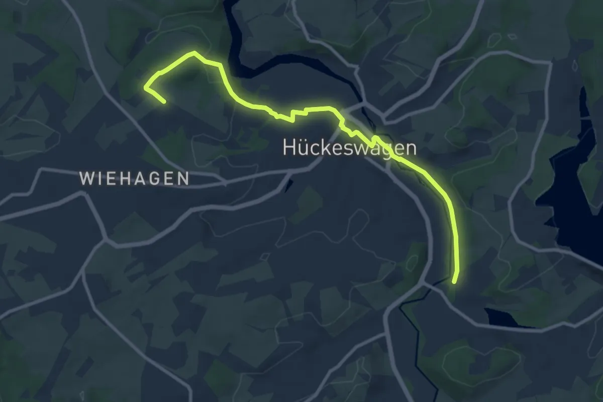
Easy · Trail
[△] Hückeswagen Rundweg
4.2 km · ↑ 45 m · 1 h 10 min
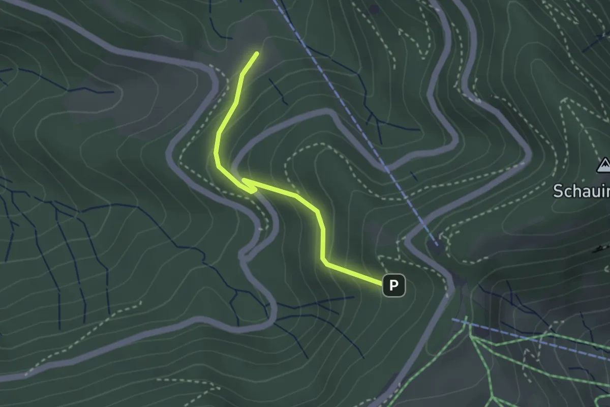
Easy · Trail
Hüetlinsruhe - Sailendobelbach
2.5 km · ↑ 189 m · 1 h
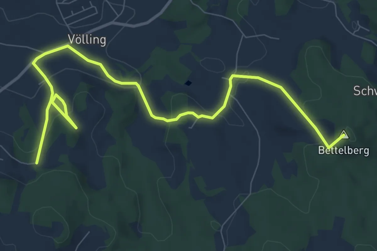
Medium · Summit
Huettnweg
9.2 km · ↑ 335 m · 2 h 54 min
Demanding · Summit
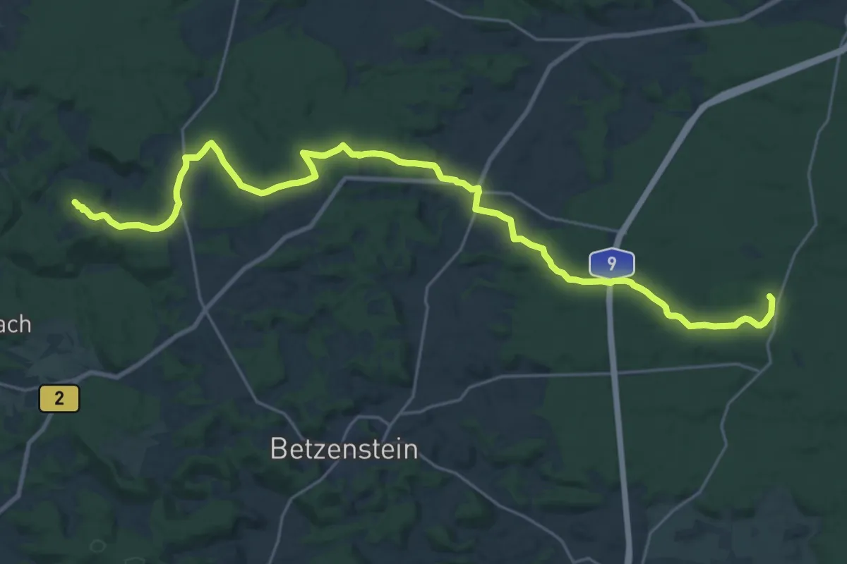
Hufeisen - Leienfels
24.8 km · ↑ 262 m · 6 h 26 min
Easy · Trail
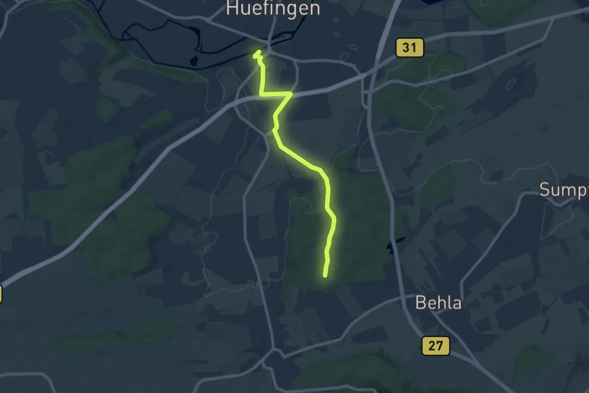
Hüfingen Anlage - Wolfsbühl
6.8 km · ↑ 84 m · 1 h 47 min
Easy · Trail
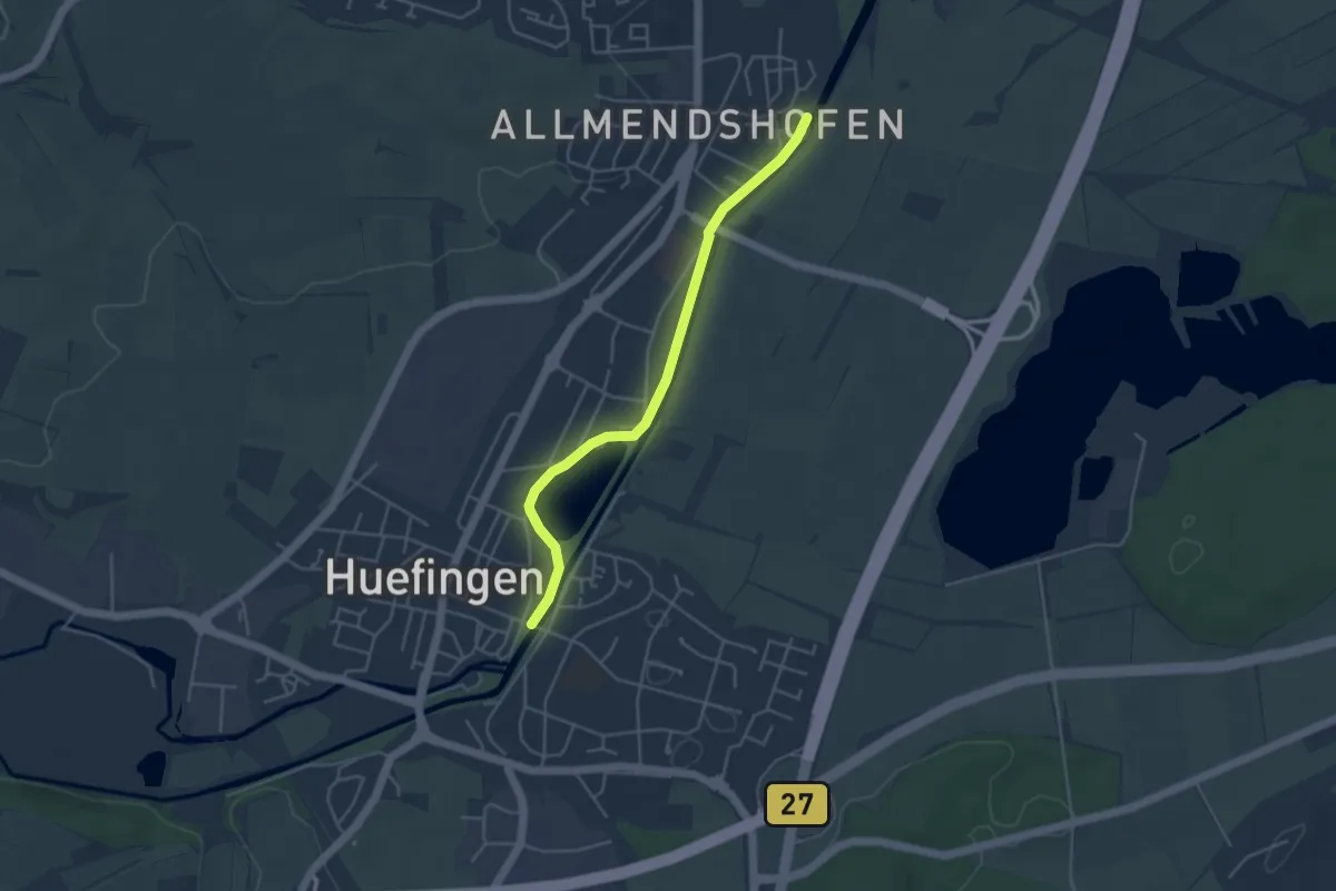
Hüfingen Feldwegbrücke - Allmendshofen Bregbrücke
4.1 km · ↑ 4 m · 59 min
Easy · Trail
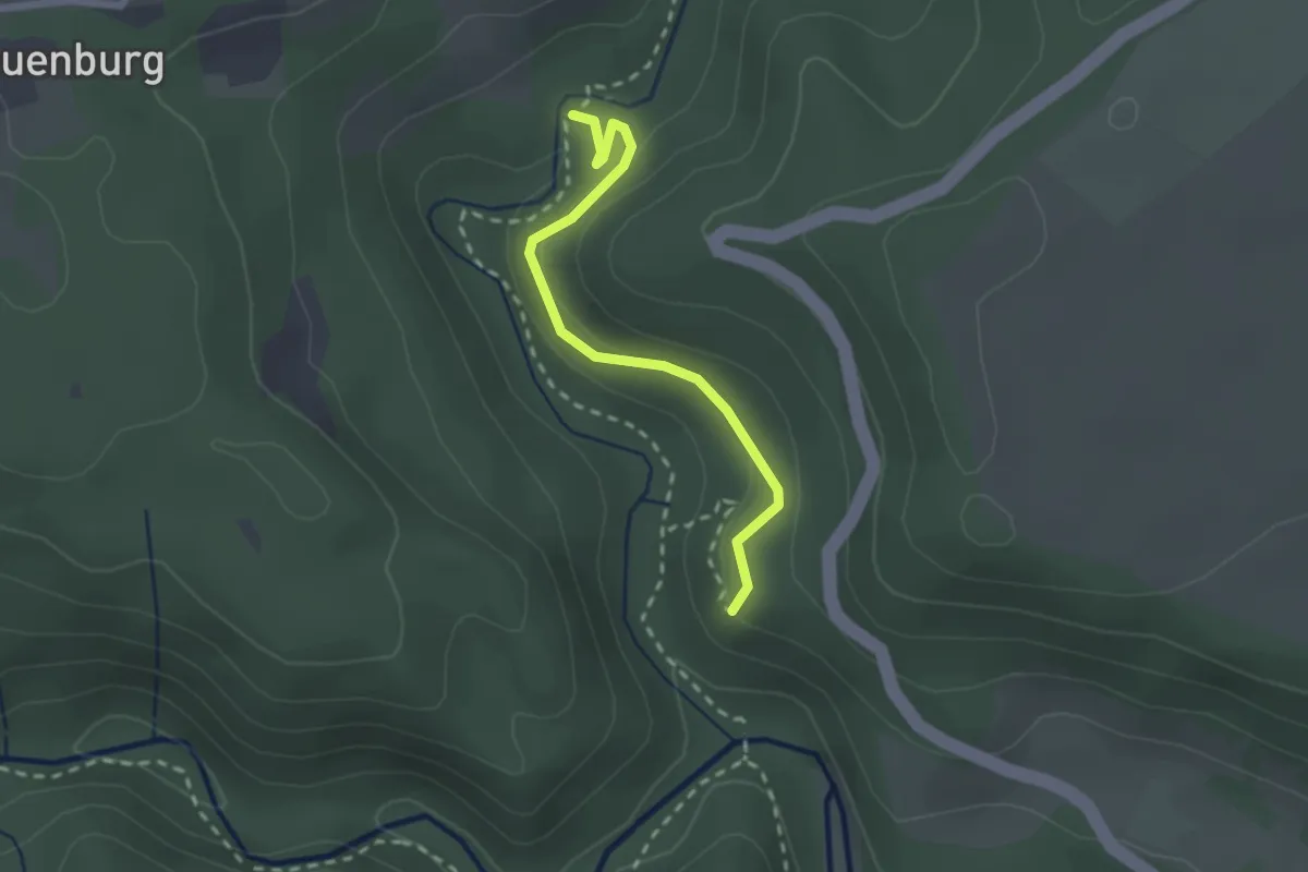
Hüfinger Steg - Parkplatz Waldlehrpfad
2.2 km · ↑ 84 m · 42 min
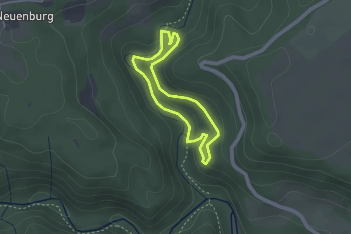
Medium · Trail
Hüfinger Waldlehrpfad
2.2 km · ↑ 54 m · 40 min
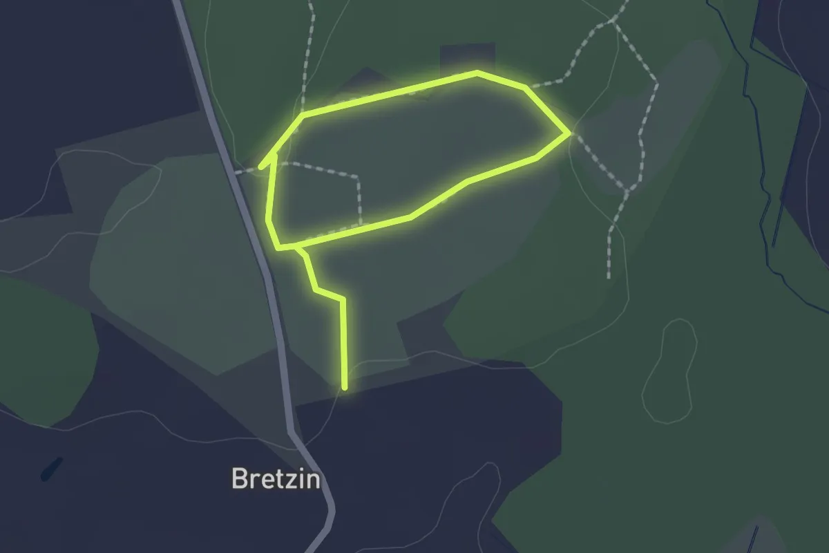
Easy · Trail
Hügelgräberrundweg
2.1 km · ↑ 13 m · 32 min
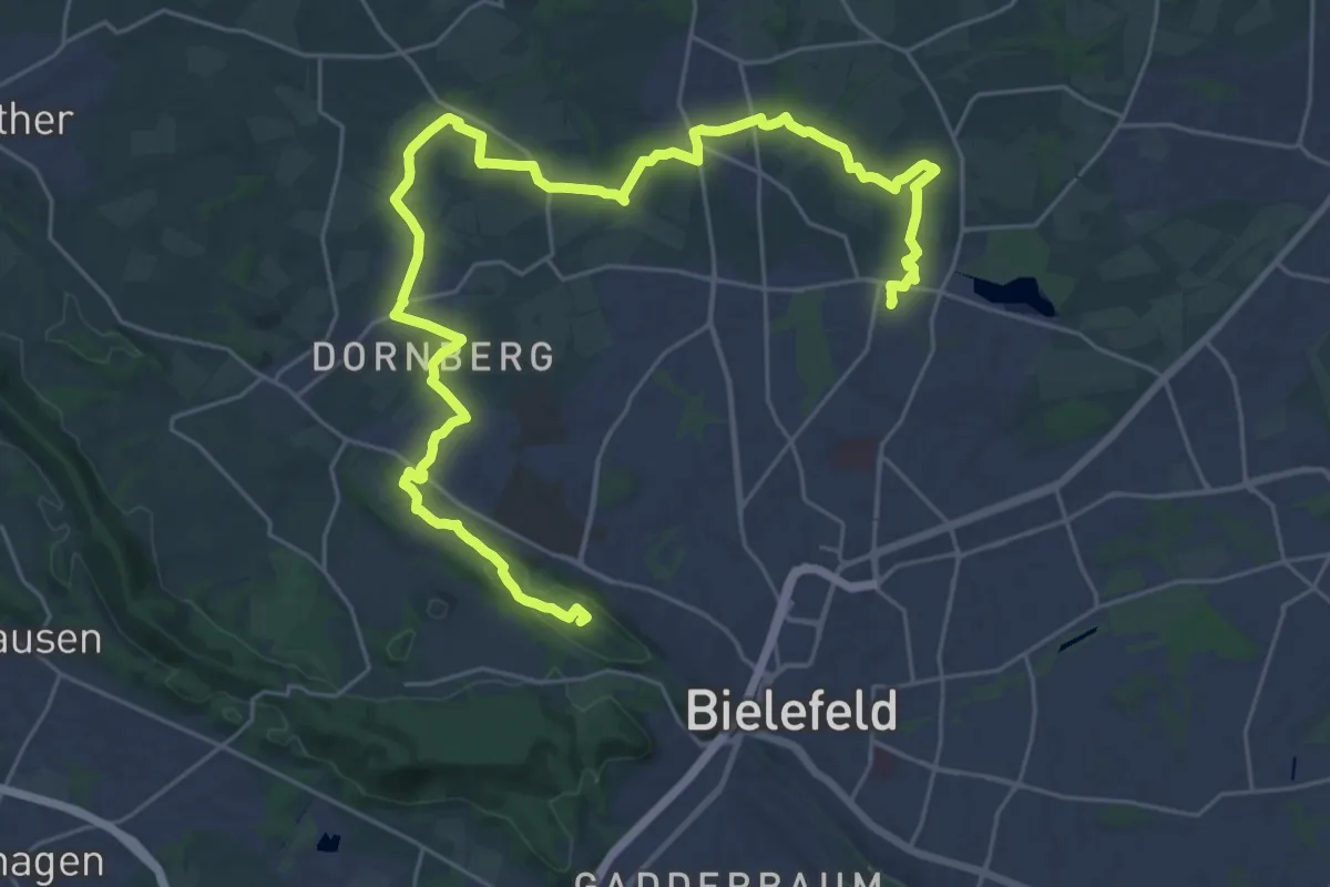
Demanding · Summit
Hügelland-Weg
33.1 km · ↑ 369 m · 8 h 37 min
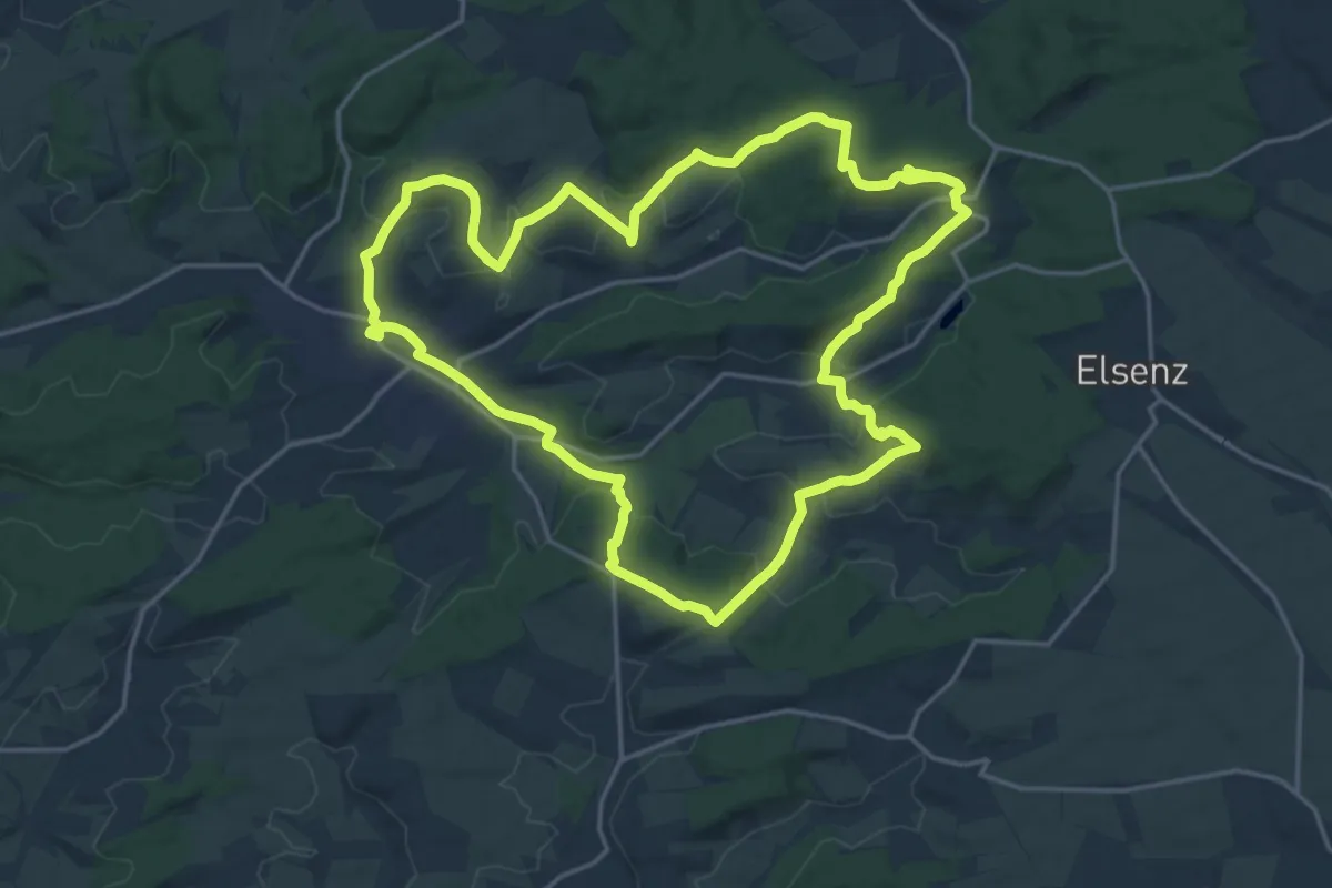
Demanding · Summit
Hügelweg Odenheim
19.1 km · ↑ 432 m · 5 h 42 min
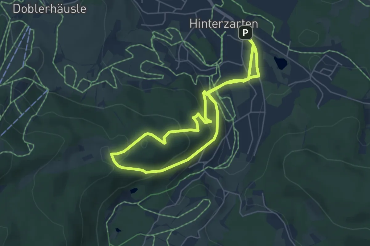
Medium · Trail
Hugenbergrunde
10.2 km · ↑ 360 m · 3 h 11 min
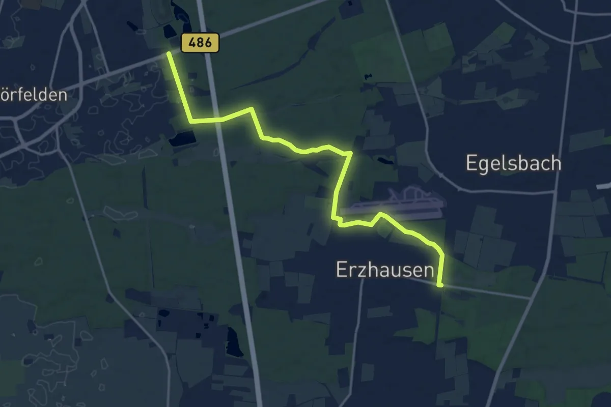
Medium · Trail
Hugenotten- und Waldenserpfad (Abschnitt Erzhausen - Mörfelden-Walldorf)
14.8 km · ↑ 43 m · 3 h 35 min
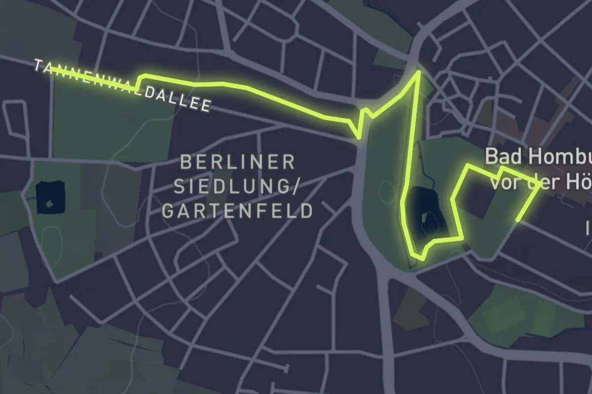
Easy · Pilgrim path
Hugenotten- und Waldenserpfad (Abstecher Bad Homburg)
2.4 km · ↑ 21 m · 38 min
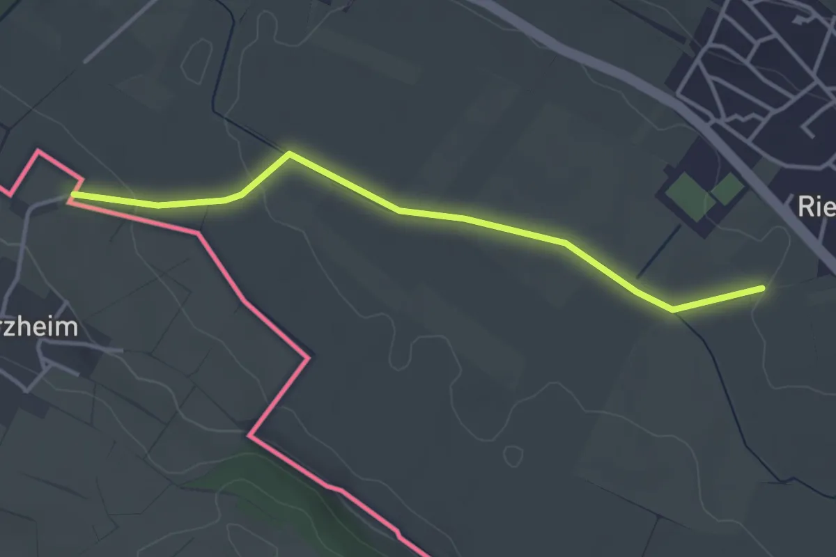
Easy · Trail
Hugenotten- und Waldenserpfad, Etappe Barzheim - Weiterdingen
3.5 km · ↑ 34 m · 54 min
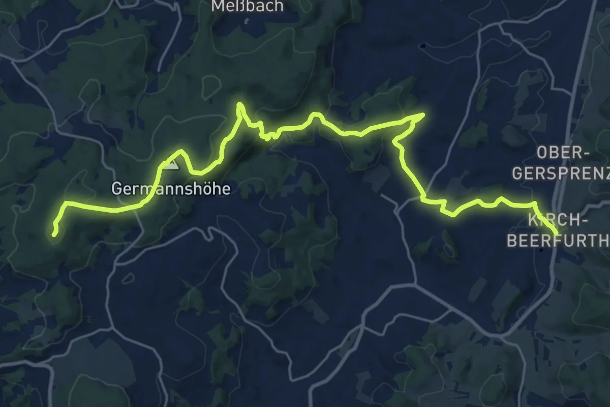
Demanding · Summit
Hugenotten- und Waldenserpfad, Etappe Beerfurth - Lützelbach
23.5 km · ↑ 641 m · 6 h 57 min
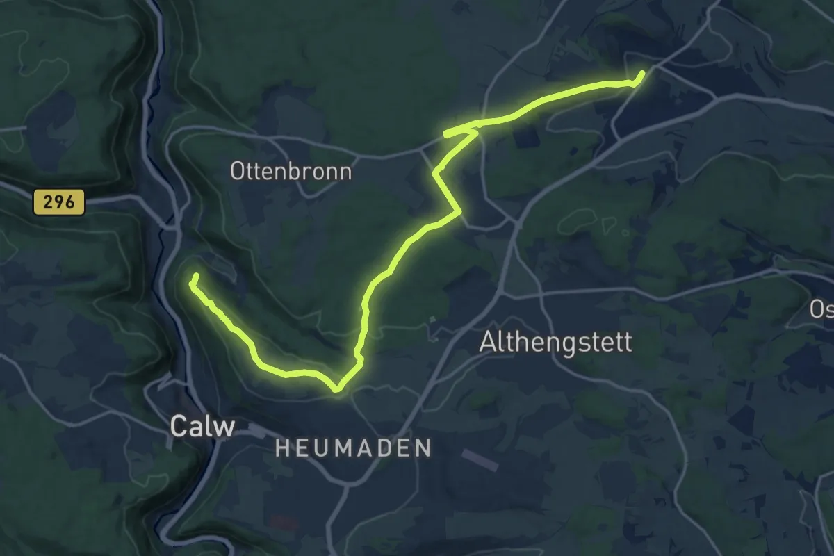
Demanding · Summit
Hugenotten- und Waldenserpfad, Etappe Calw - Simmozheim
18.5 km · ↑ 292 m · 5 h 1 min
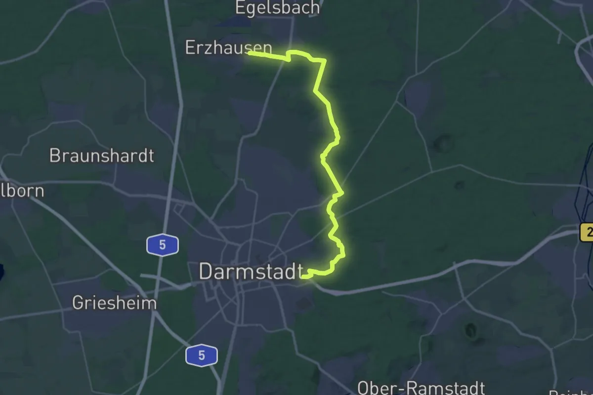
Demanding · Trail
Hugenotten- und Waldenserpfad, Etappe Darmstadt - Erzhausen
30.1 km · ↑ 221 m · 7 h 35 min
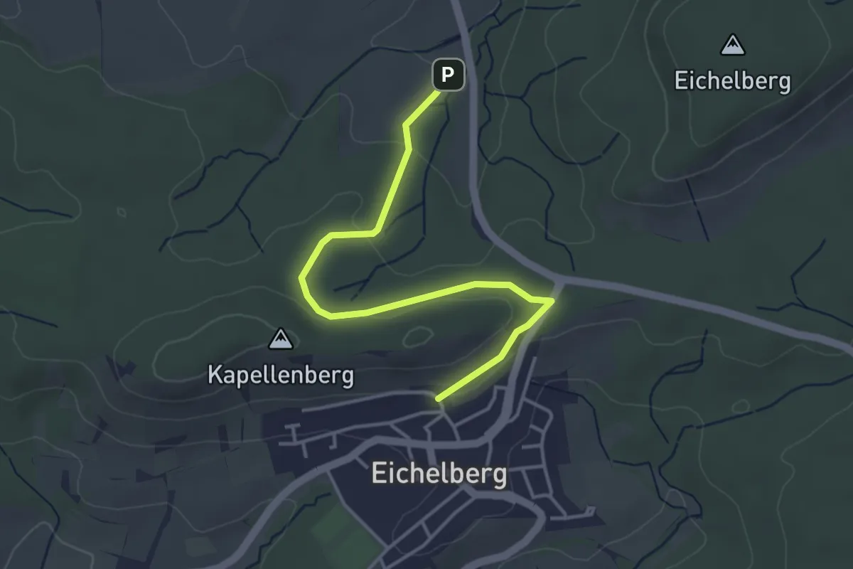
Easy · Trail
Hugenotten- und Waldenserpfad, Etappe Eichelberg - Sinsheim
3.8 km · ↑ 94 m · 1 h 5 min
Demanding · Summit
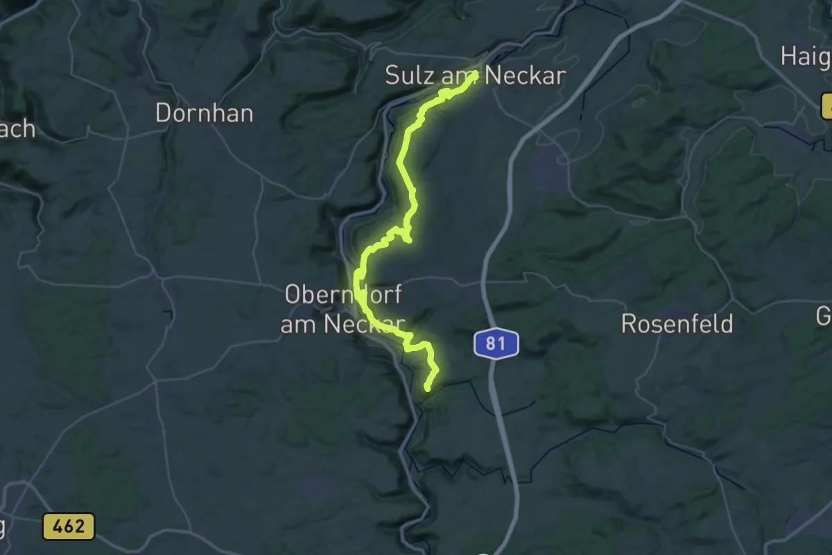
Hugenotten- und Waldenserpfad, Etappe Epfendorf - Sulz am Neckar
36.6 km · ↑ 1002 m · 10 h 48 min
Demanding · Trail
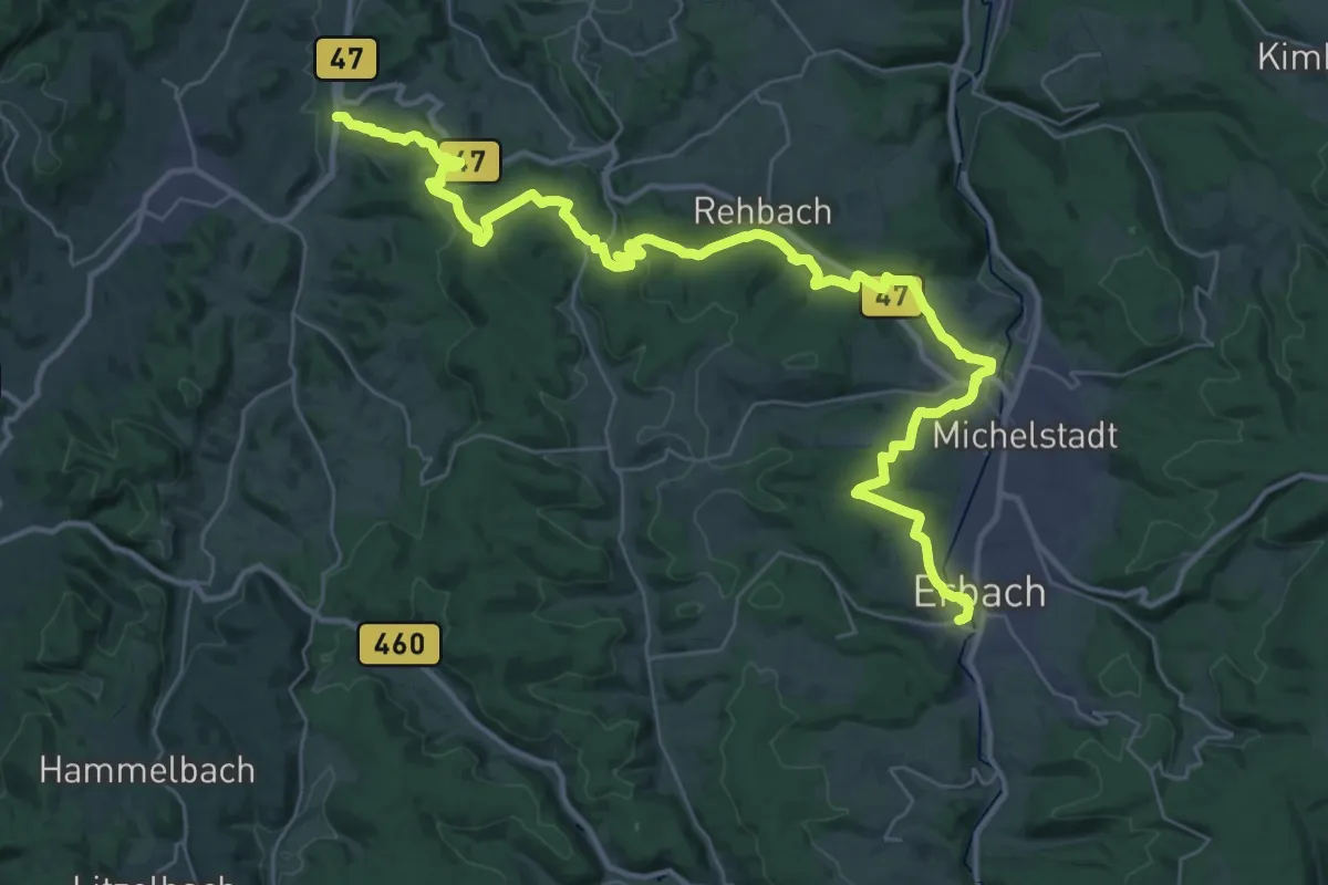
Hugenotten- und Waldenserpfad, Etappe Erbach(Odenwald) - Beerfurth
21.1 km · ↑ 565 m · 6 h 31 min
Demanding · Summit
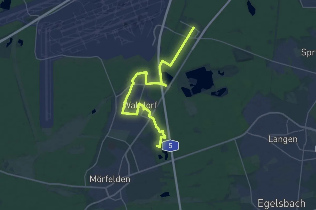
Hugenotten- und Waldenserpfad, Etappe Erzhausen - Zeppelinheim
22.4 km · ↑ 82 m · 5 h 29 min
Medium · Trail
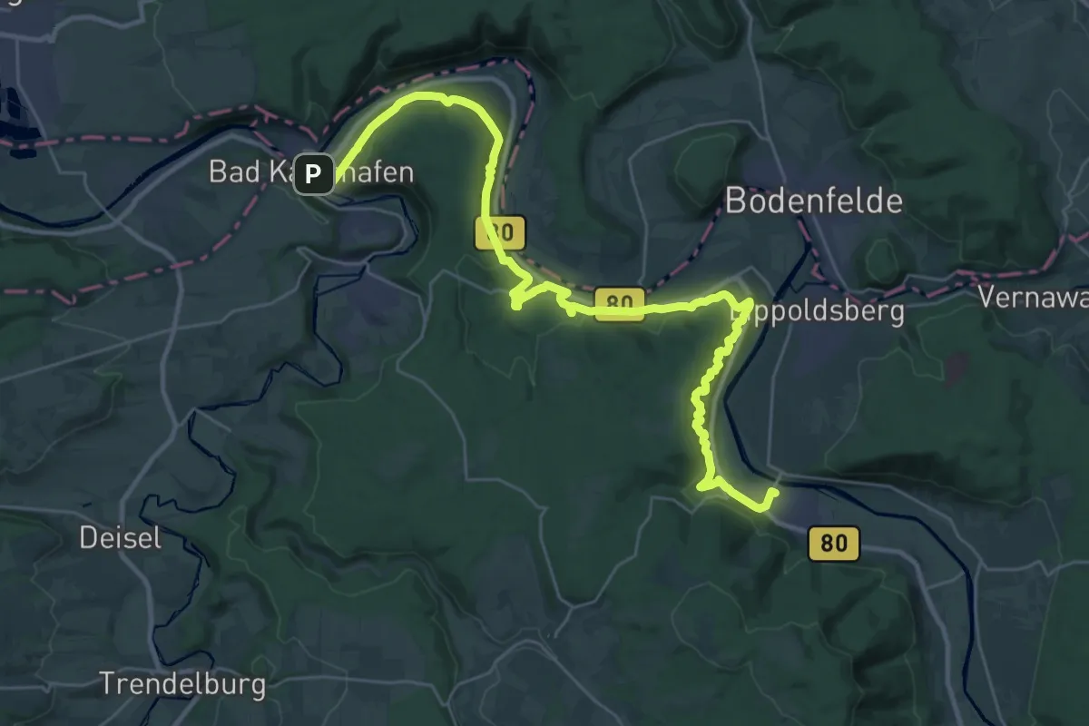
Hugenotten- und Waldenserpfad, Etappe Gieselwerder - Bad Karlshafen
16.4 km · ↑ 585 m · 5 h 22 min
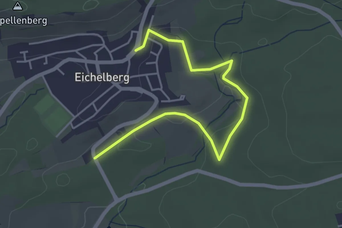
Easy · Trail
Hugenotten- und Waldenserpfad, Etappe Gochsheim - Eichelberg
4.1 km · ↑ 53 m · 1 h 5 min
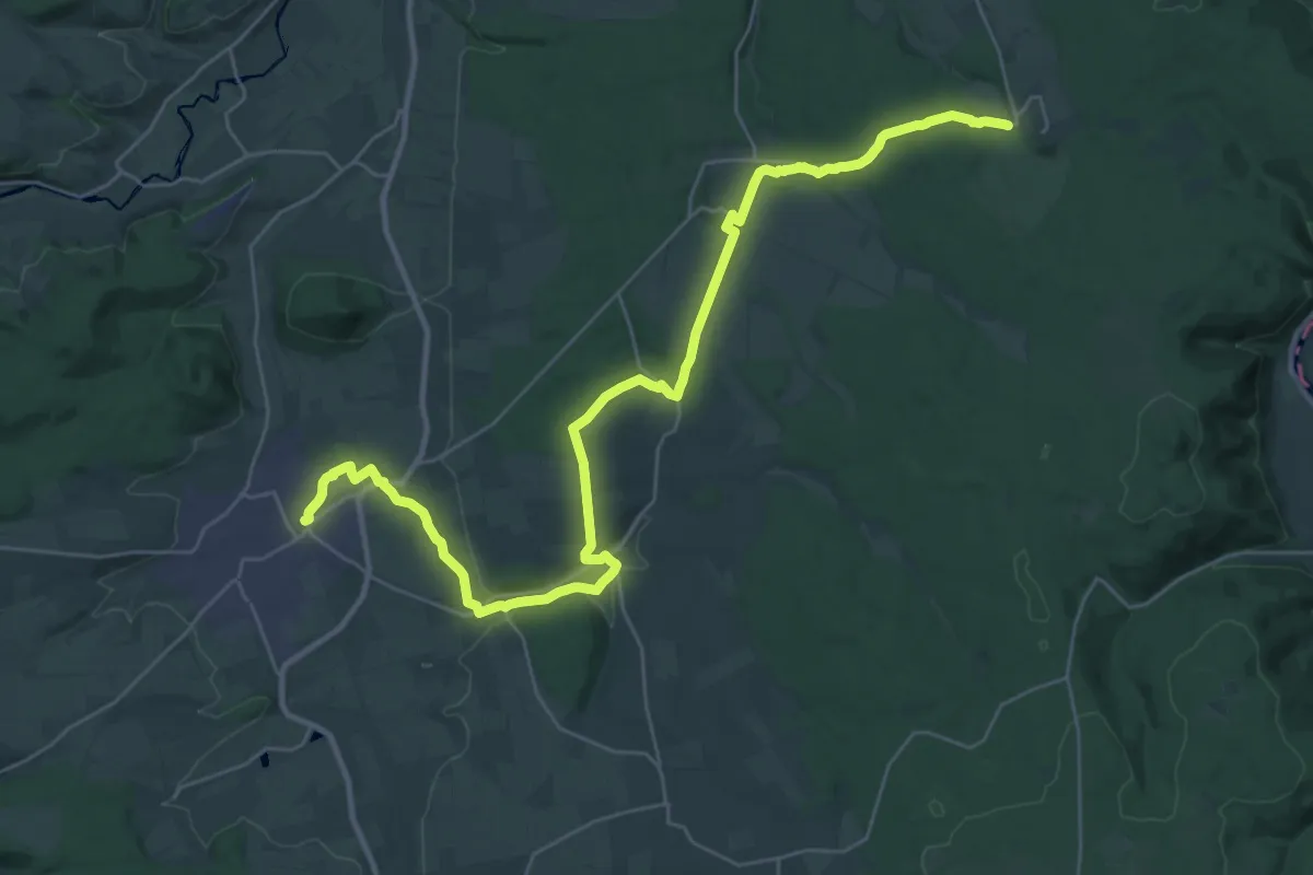
Medium · Trail
Hugenotten- und Waldenserpfad, Etappe Hofgeismar - Sababurg
17.3 km · ↑ 232 m · 4 h 46 min
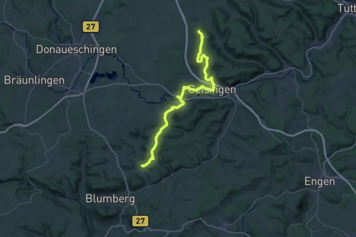
Demanding · Summit
Hugenotten- und Waldenserpfad, Etappe Hondingen - Öfingen
41.2 km · ↑ 1166 m · 12 h 15 min
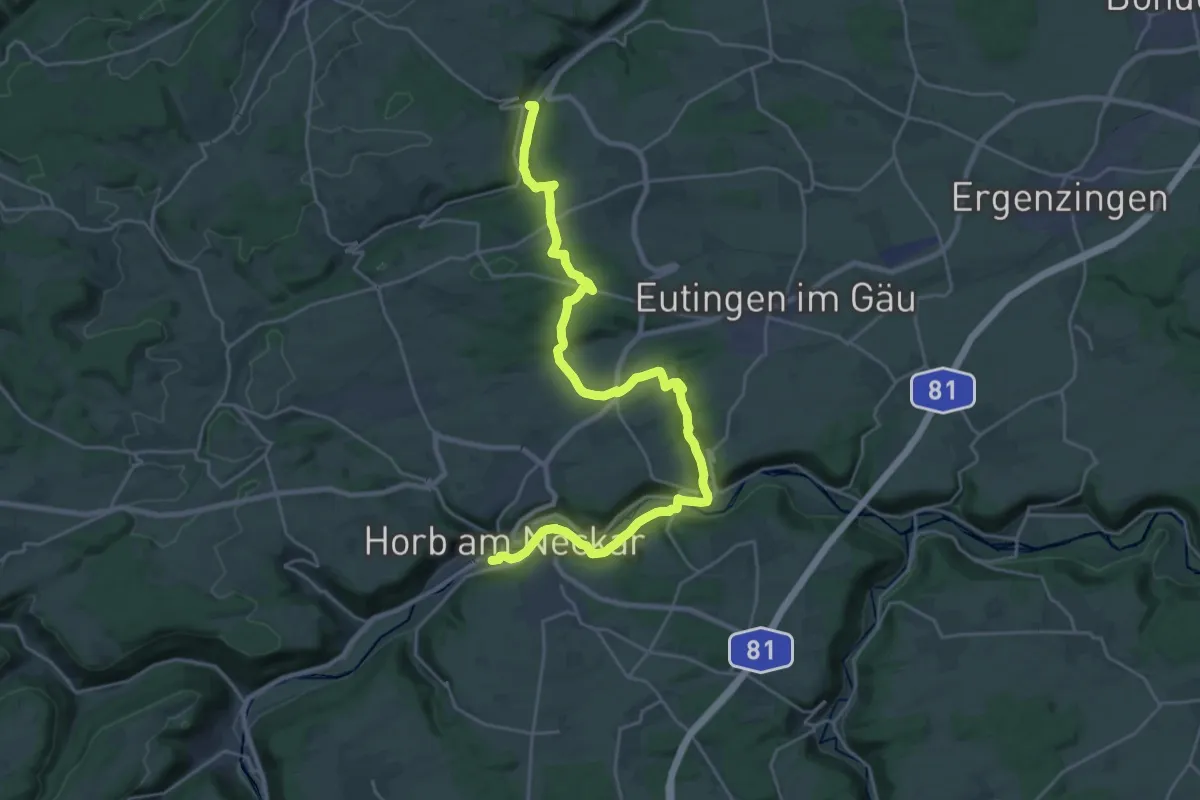
Demanding · Trail
Hugenotten- und Waldenserpfad, Etappe Horb am Neckar - Schietingen, Dorfplatz
28.3 km · ↑ 560 m · 7 h 53 min
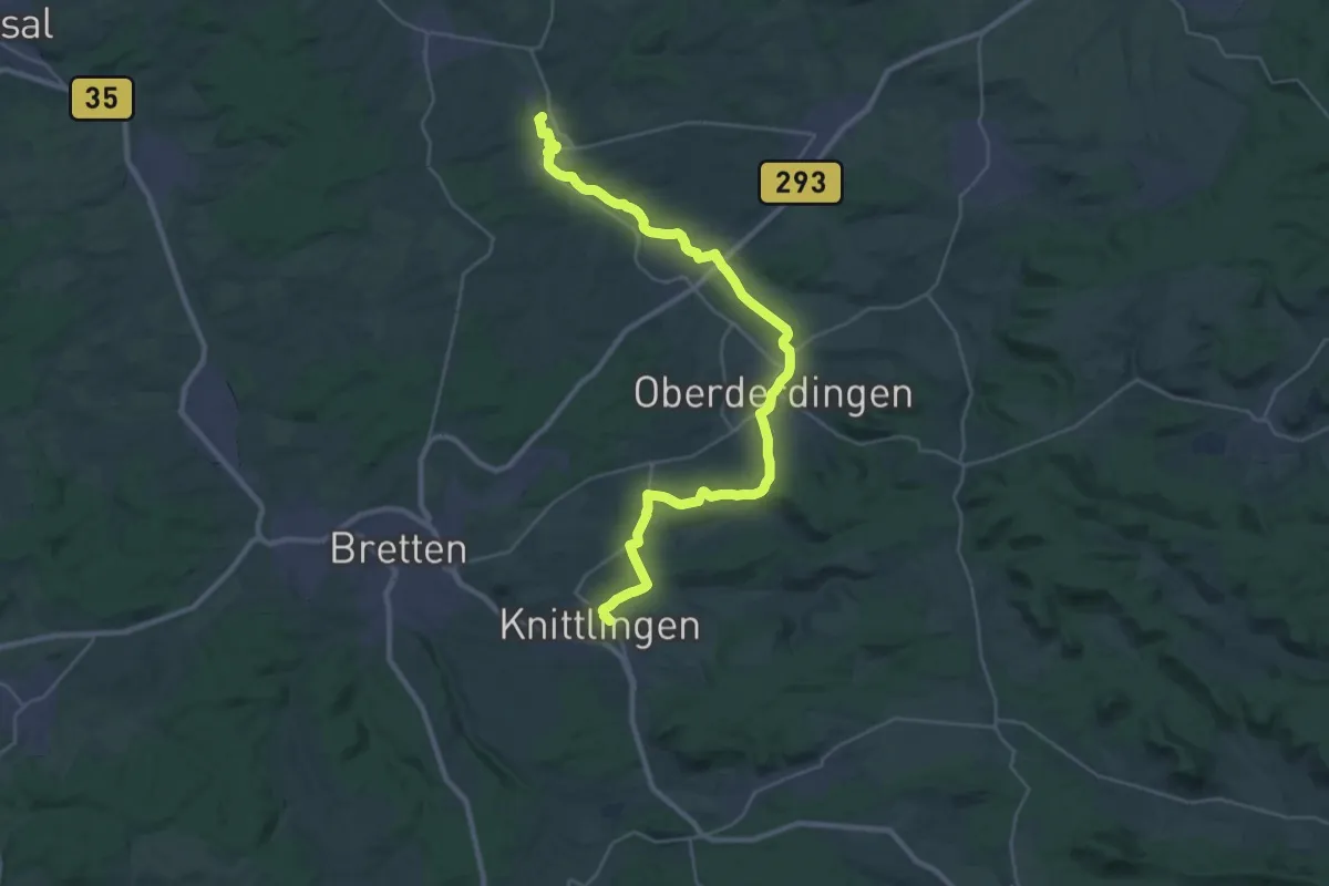
Medium · Trail
Hugenotten- und Waldenserpfad, Etappe Knittlingen - Gochsheim
16.0 km · ↑ 214 m · 4 h 26 min
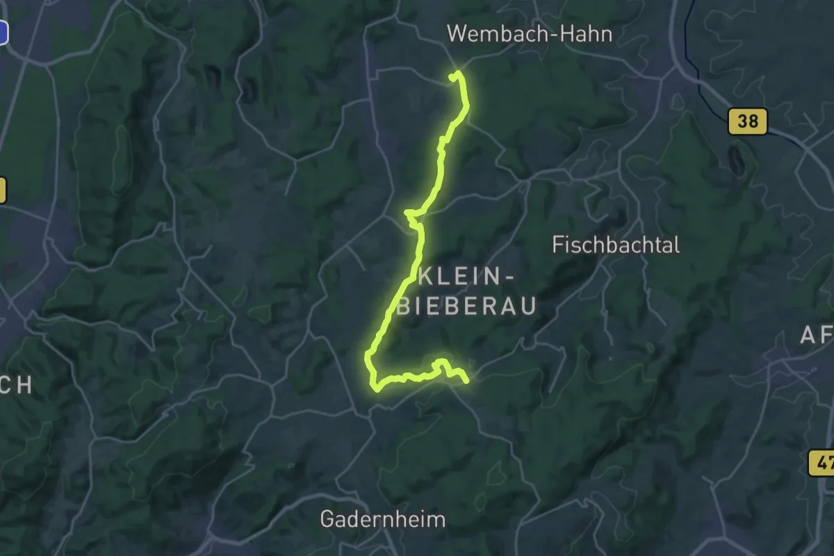
Demanding · Trail
Hugenotten- und Waldenserpfad, Etappe Lützelbach - Rohrbach
21.8 km · ↑ 481 m · 6 h 11 min
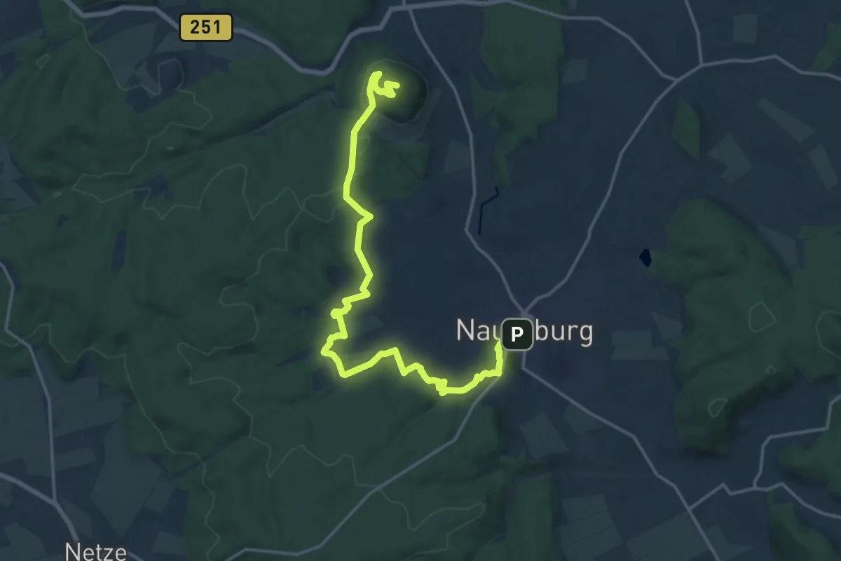
Medium · Summit
Hugenotten- und Waldenserpfad, Etappe Naumburg - Wolfhagen
16.8 km · ↑ 426 m · 4 h 53 min
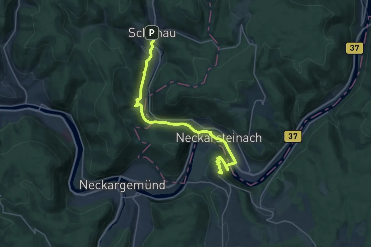
Medium · Summit
Hugenotten- und Waldenserpfad, Etappe Neidenstein - Schönau
16.4 km · ↑ 531 m · 5 h 2 min
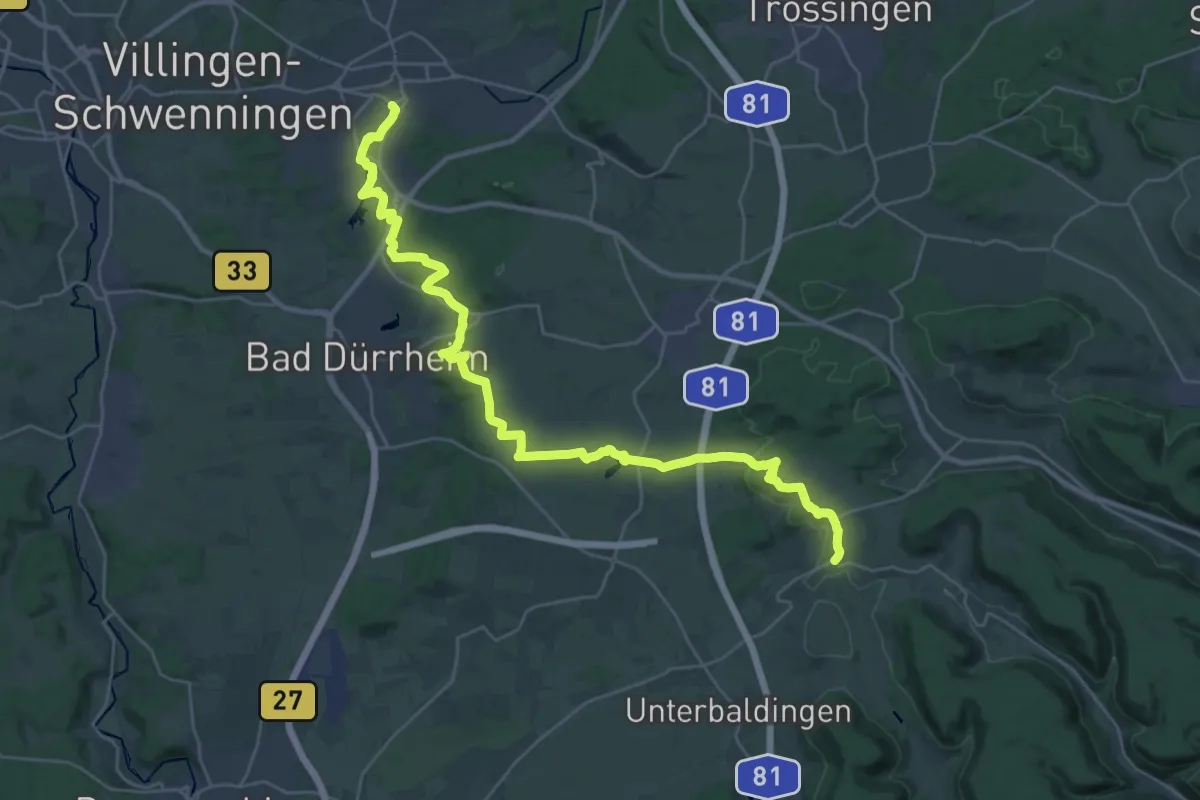
Demanding · Trail
Hugenotten- und Waldenserpfad, Etappe Öfingen - Schwenningen
17.2 km · ↑ 195 m · 4 h 48 min
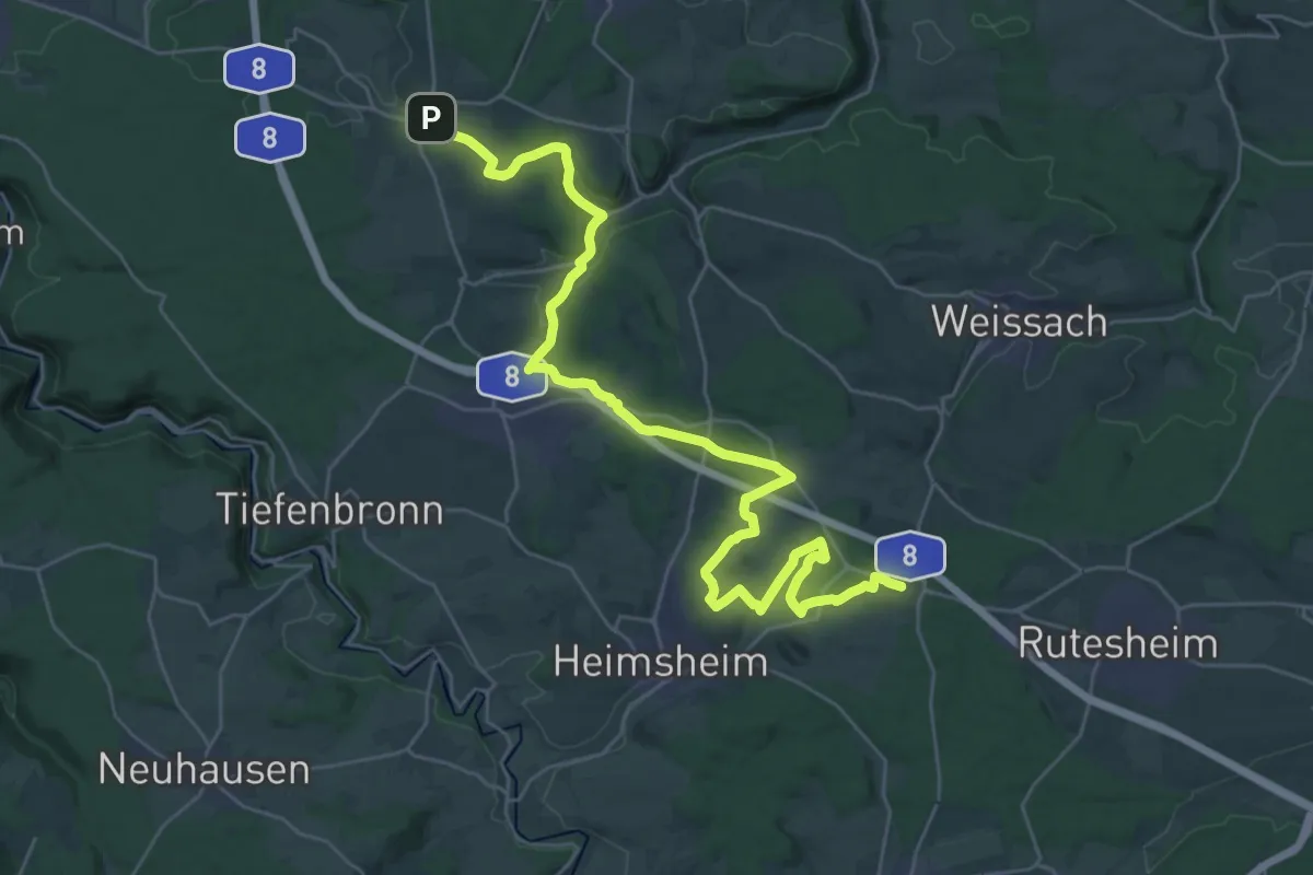
Demanding · Trail
Hugenotten- und Waldenserpfad, Etappe Perouse - Wurmberg
18.3 km · ↑ 278 m · 5 h 10 min
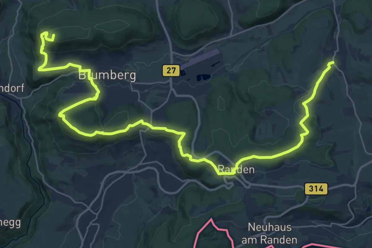
Demanding · Summit
Hugenotten- und Waldenserpfad, Etappe Riedöschingen - Hondingen
30.4 km · ↑ 928 m · 9 h 11 min
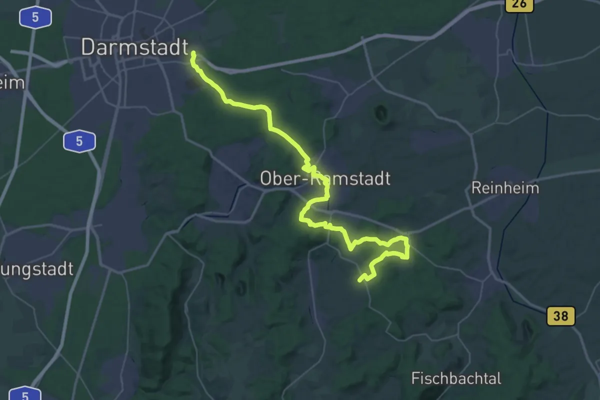
Demanding · Trail
Hugenotten- und Waldenserpfad, Etappe Rohrbach - Darmstadt
18.2 km · ↑ 287 m · 5 h 13 min
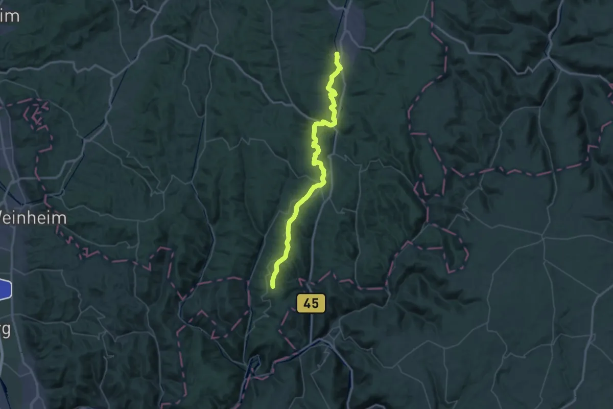
Demanding · Trail
Hugenotten- und Waldenserpfad, Etappe Rothenberg - Erbach(Odenwald)
23.5 km · ↑ 373 m · 6 h 48 min
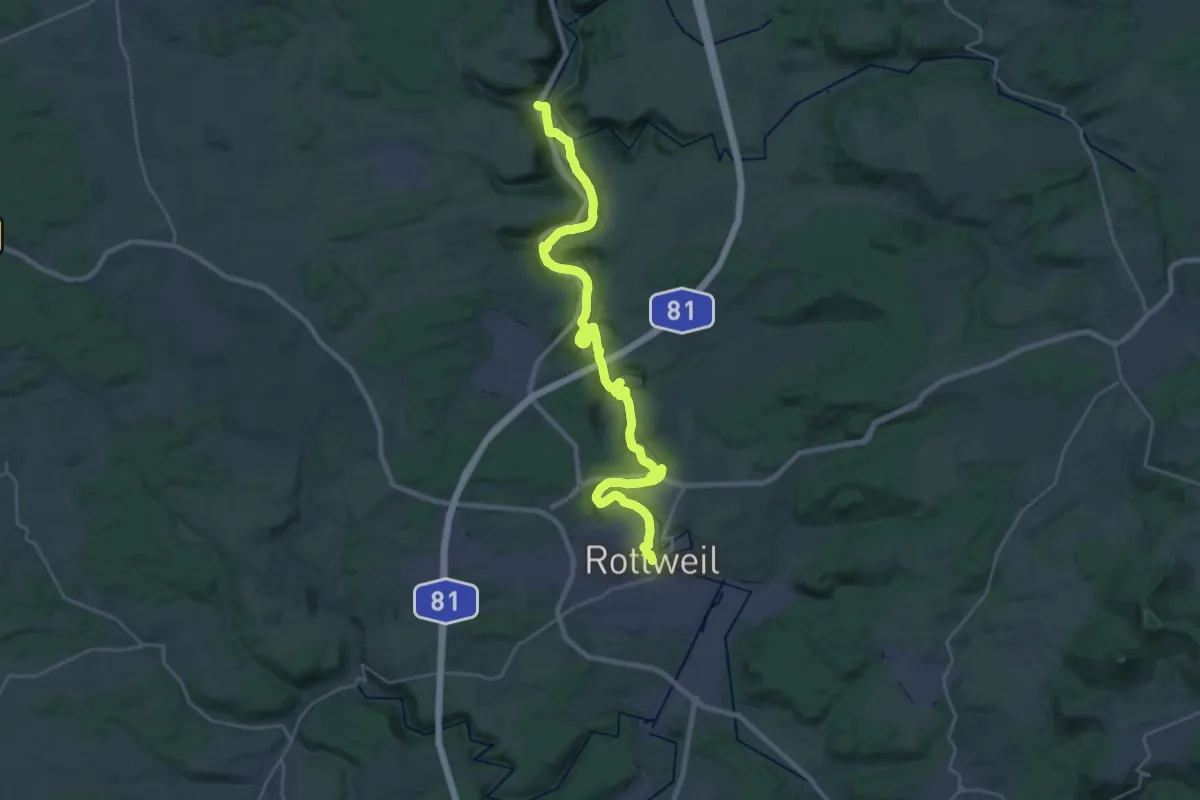
Medium · Trail
Hugenotten- und Waldenserpfad, Etappe Rottweil - Epfendorf
15.1 km · ↑ 302 m · 4 h 29 min
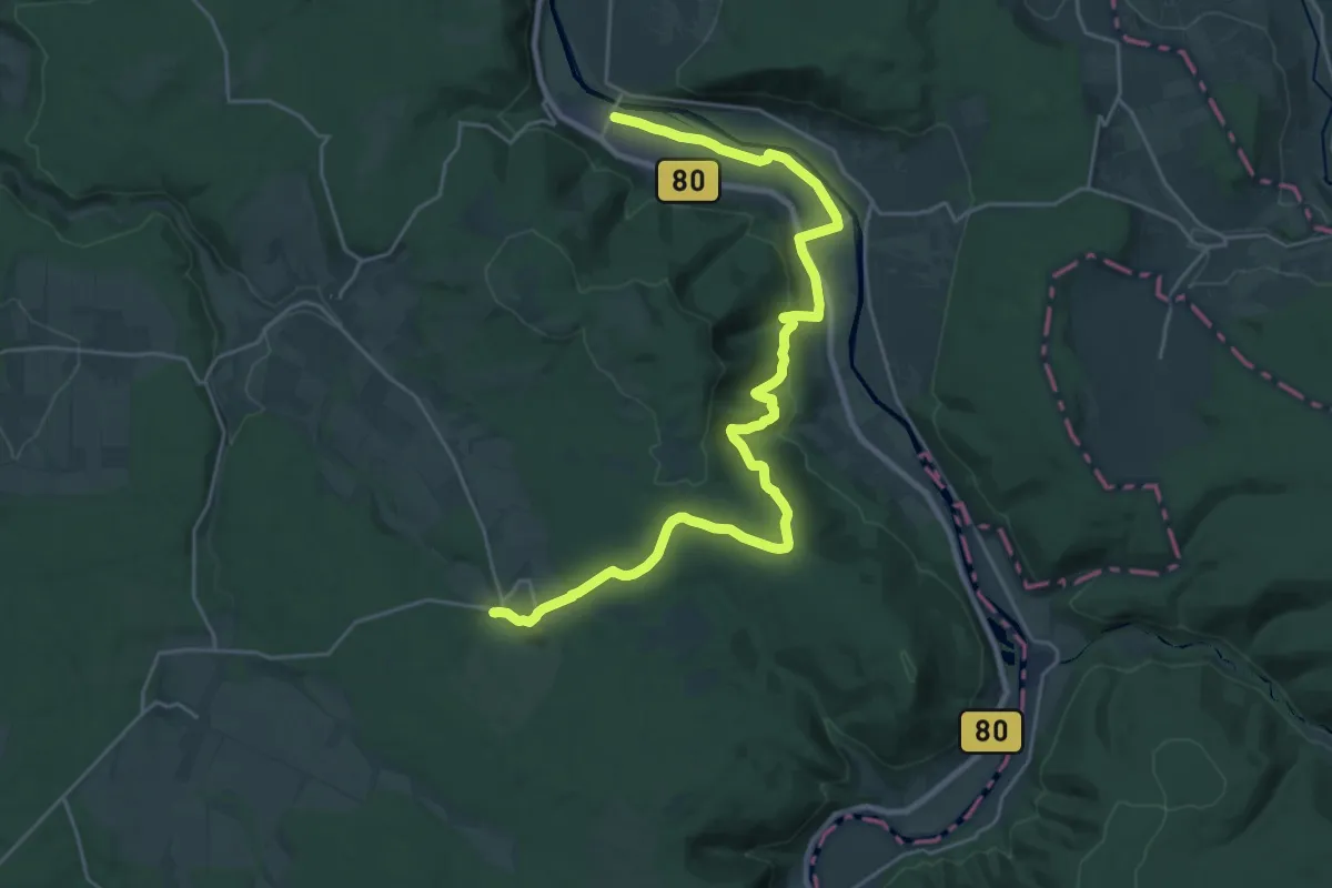
Demanding · Trail
Hugenotten- und Waldenserpfad, Etappe Sababurg - Gieselwerder
26.6 km · ↑ 479 m · 7 h 20 min
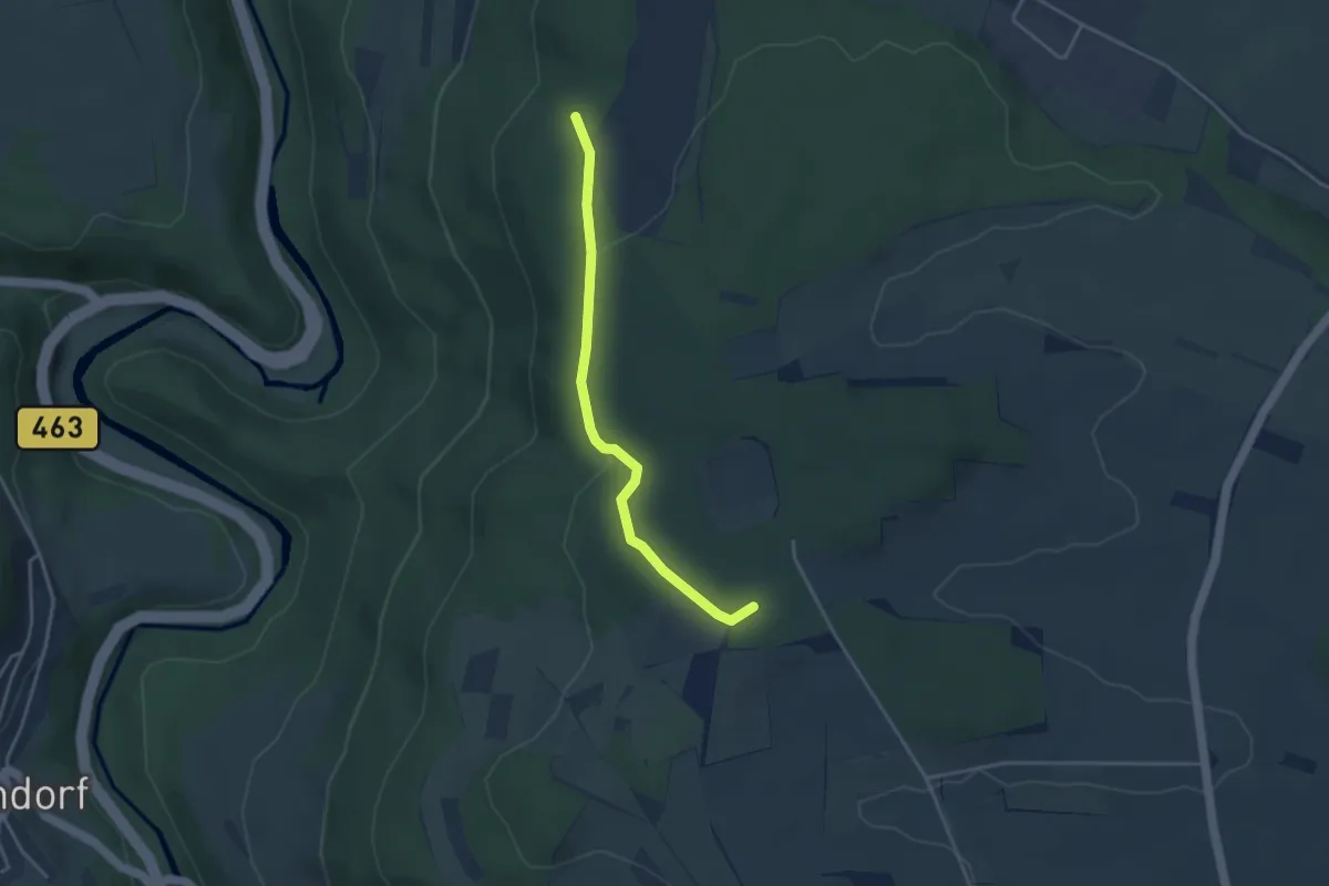
Easy · Summit
Hugenotten- und Waldenserpfad, Etappe Schietingen - Sulz am Eck
3.3 km · ↑ 60 m · 55 min