Trails in Germany
36,852 hiking trails, each with its route, climb, walking time and grade.
All trails, page 259 of 768
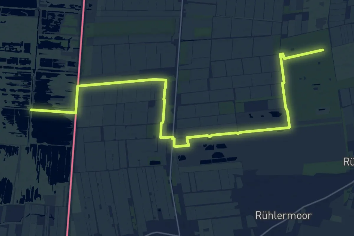
Demanding · Trail
Hünenweg - 11
24.7 km · ↑ 4 m · 5 h 51 min
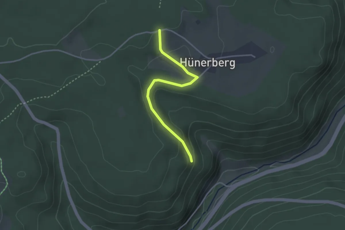
Easy · Trail
Hünerberg - Fautsburg
2.7 km · ↑ 91 m · 51 min
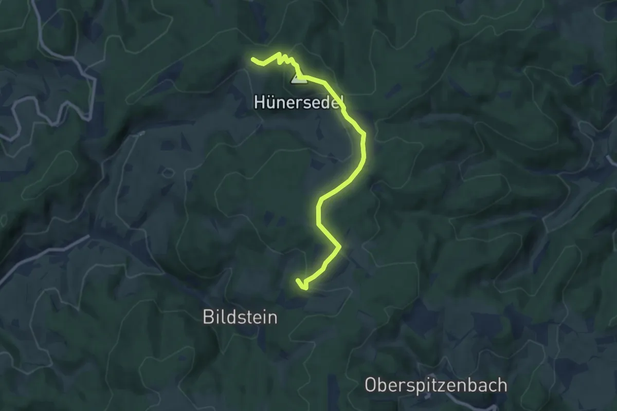
Easy · Summit
Hünersedel-Tour
3.7 km · ↑ 93 m · 1 h 10 min
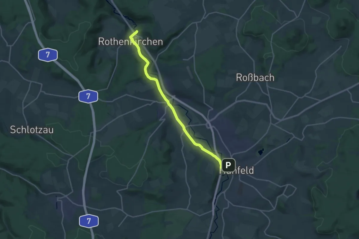
Medium · Trail
Hünfeld - Burgruine Hauneck
15.4 km · ↑ 157 m · 3 h 58 min
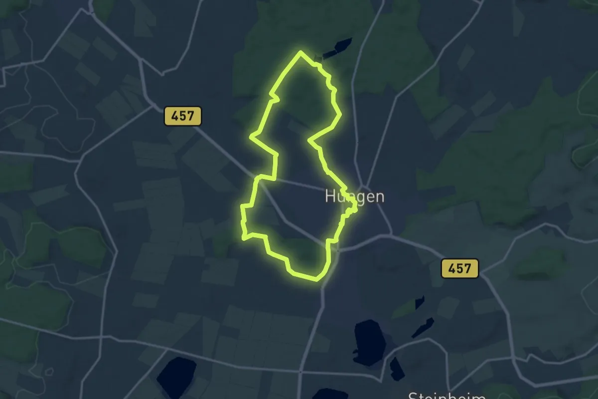
Medium · Trail
Hungen Rundweg Nordschleife
11.8 km · ↑ 113 m · 3 h 11 min
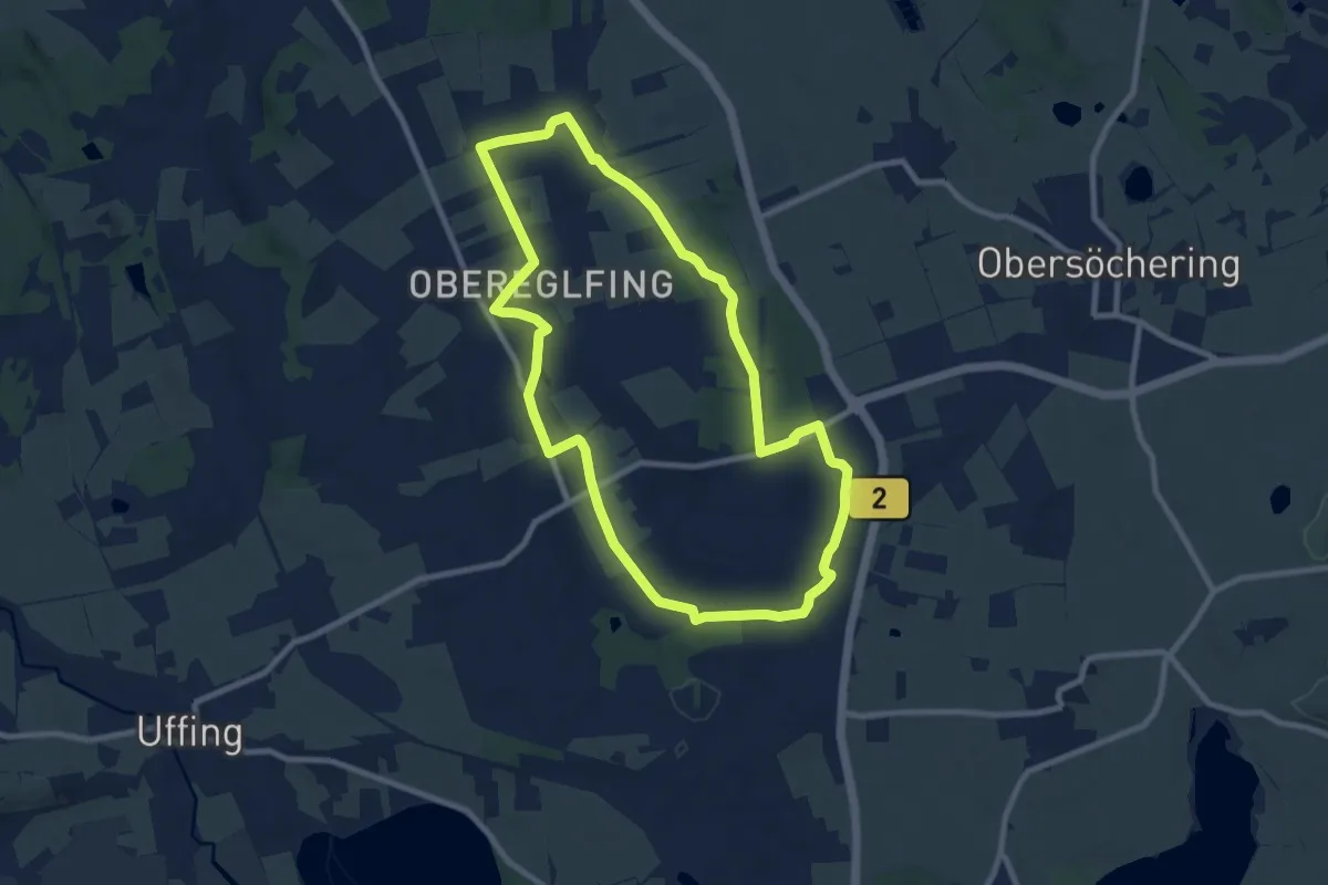
Medium · Trail
Hungerbach-Rundweg
8.7 km · ↑ 49 m · 2 h 17 min
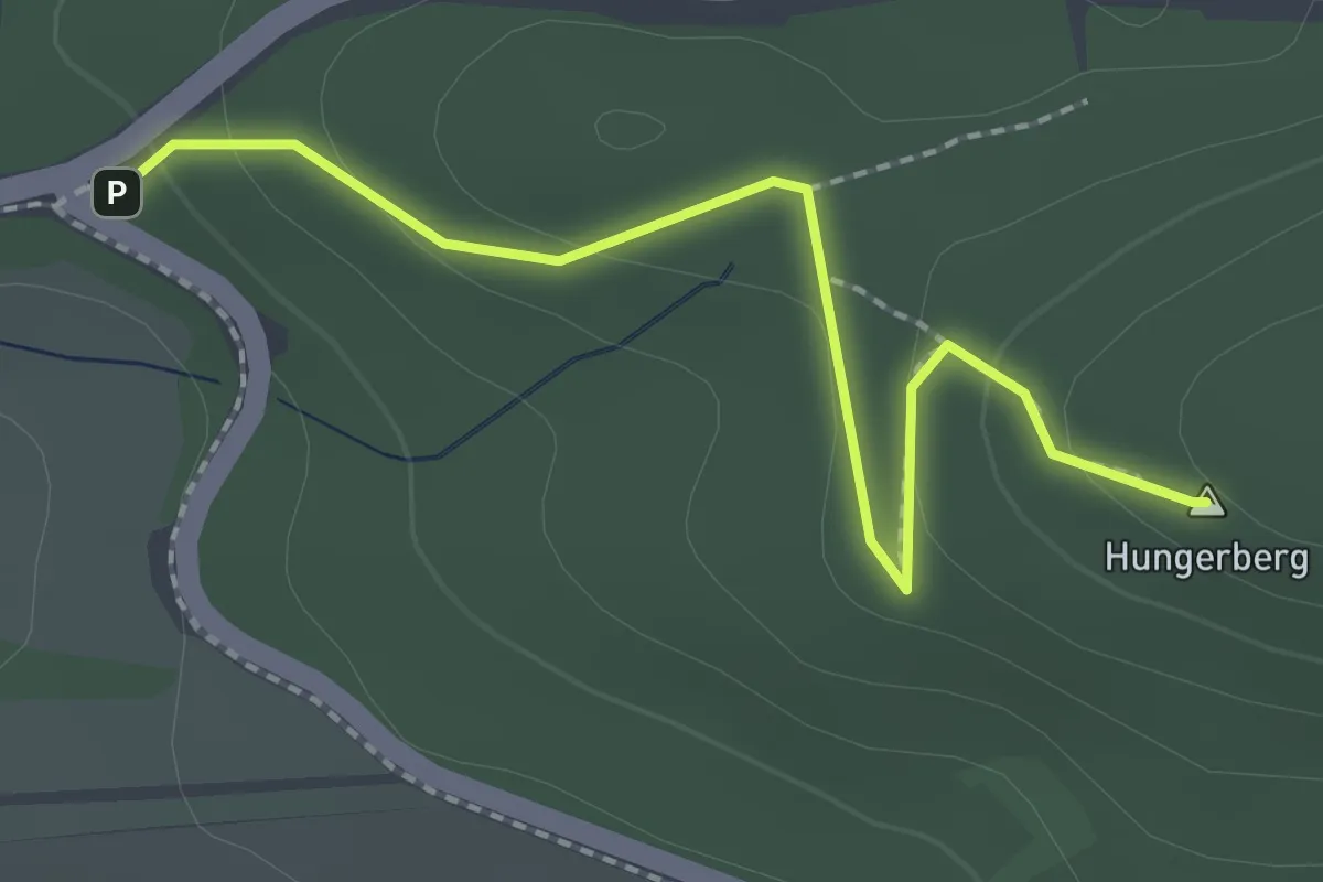
Easy · Summit
Hungerberg
2.0 km · ↑ 70 m · 37 min
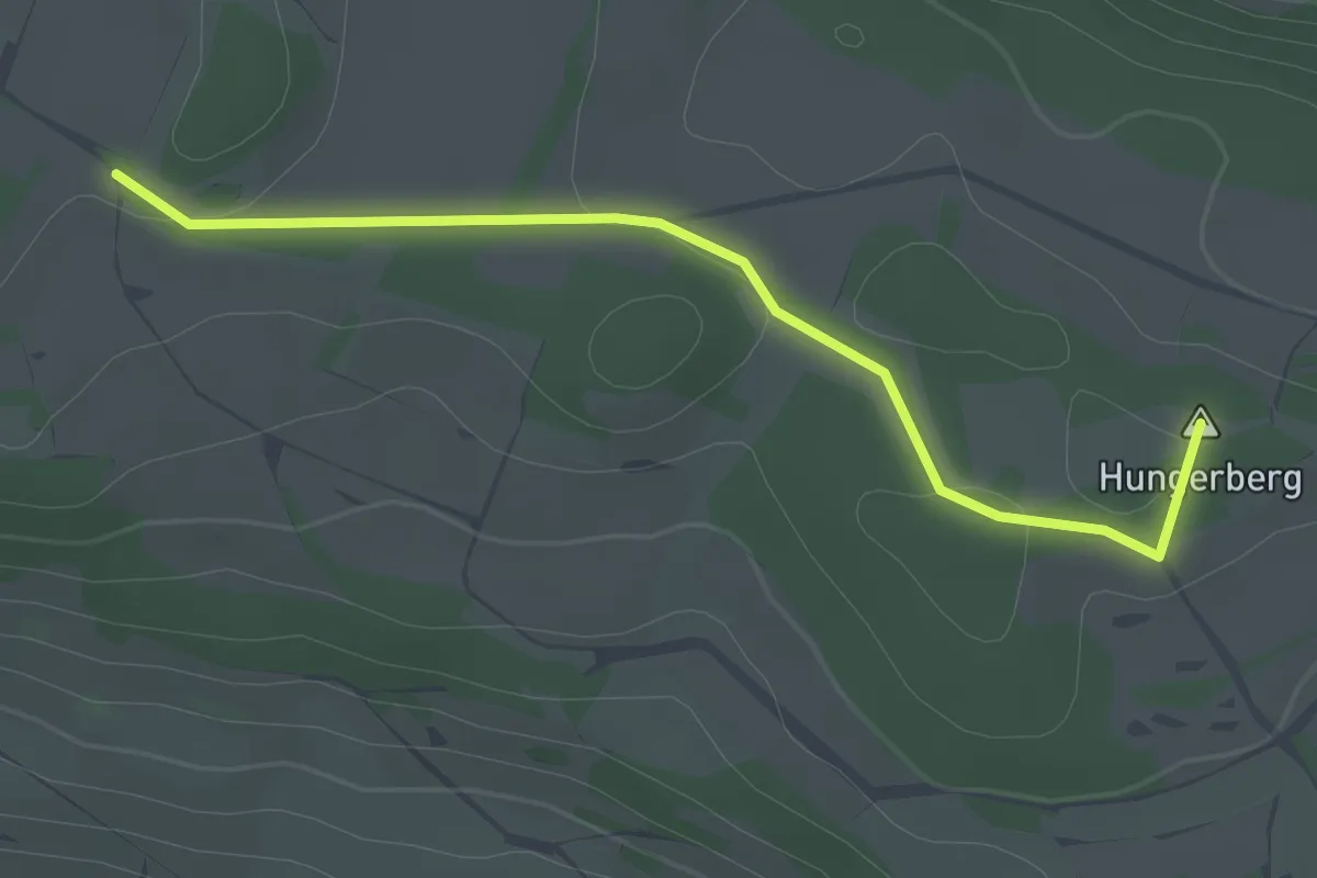
Easy · Summit
Hungerberg Feldkreuz - Langeziel
2.4 km · ↑ 13 m · 35 min
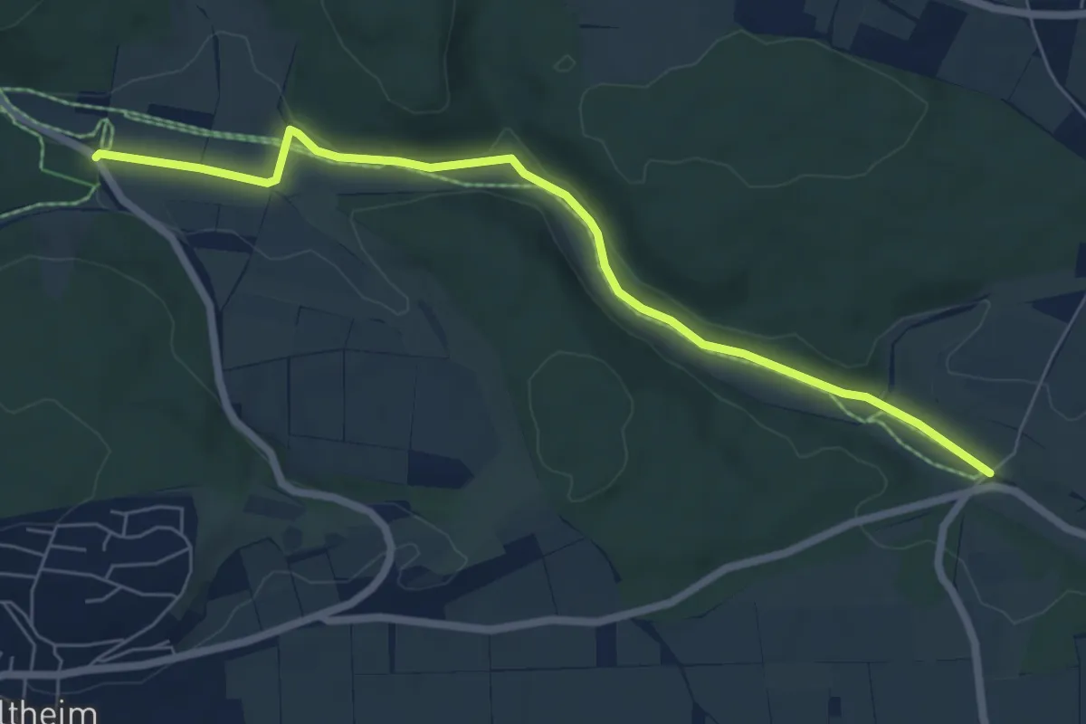
Easy · Trail
Hungerbrunnen
3.3 km · ↑ 32 m · 53 min
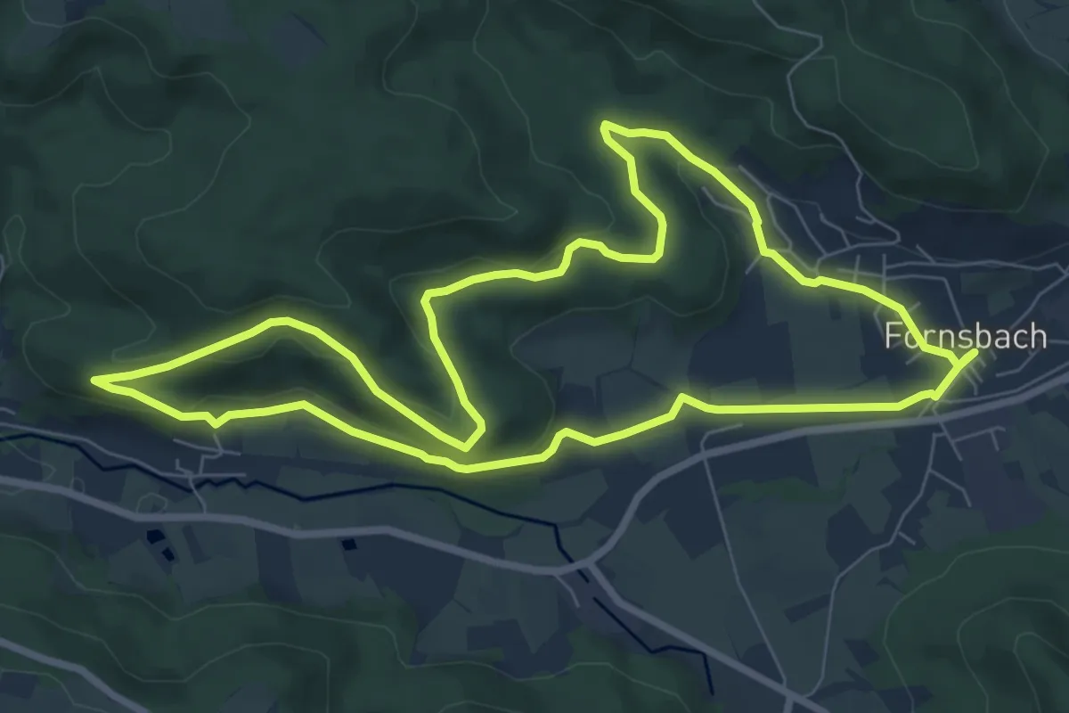
Easy · Summit
Hunnenburgrunde
7.5 km · ↑ 173 m · 2 h 15 min
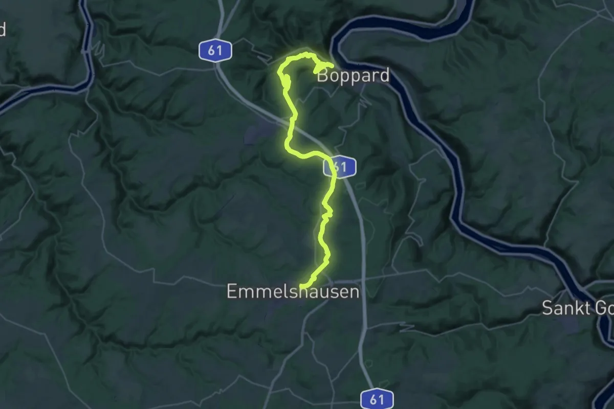
Medium · Trail
Hunsrückbahn-Wanderweg
15.9 km · ↑ 334 m · 4 h 54 min
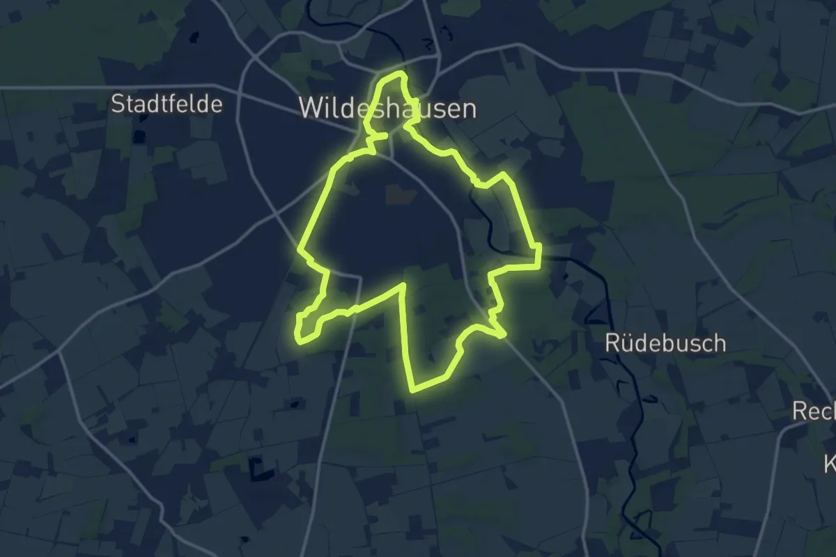
Medium · Trail
Hunte - Heide- Hügelgräber
11.9 km · ↑ 65 m · 3 h 8 min
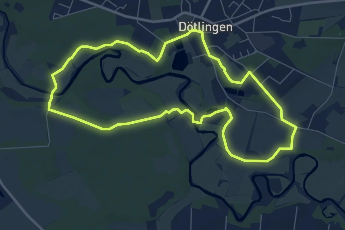
Easy · Summit
Huntepadd - Großer Rundwanderweg
5.6 km · ↑ 24 m · 1 h 27 min
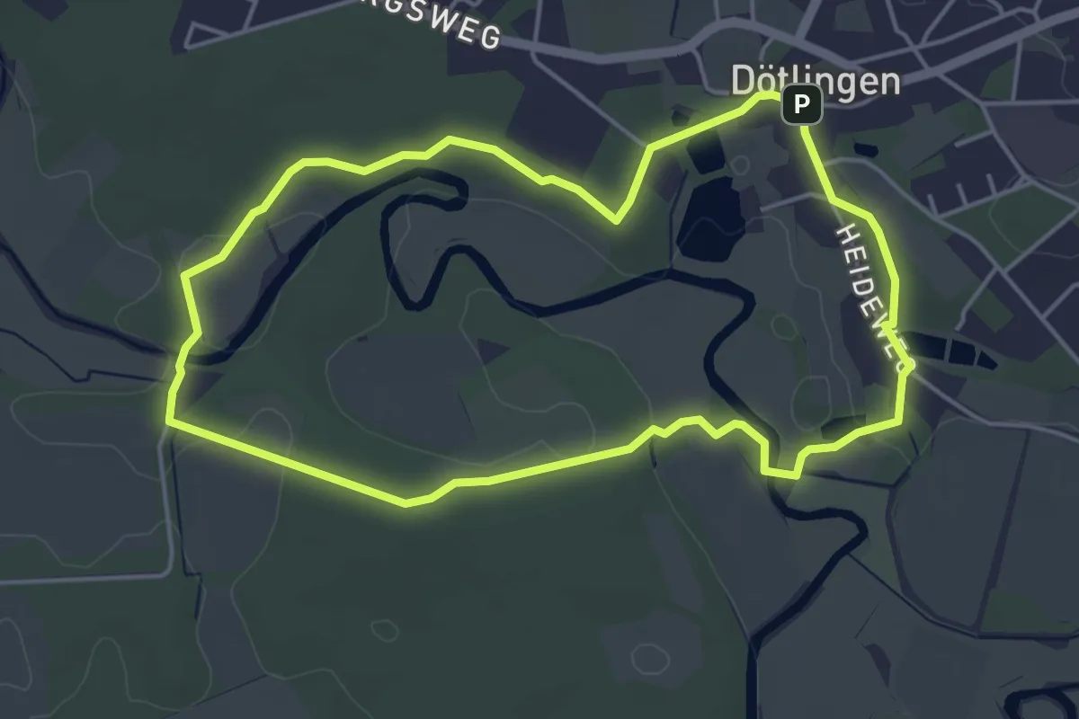
Easy · Summit
Huntepadd - Kleiner Rundweg
3.9 km · ↑ 17 m · 1 h 1 min
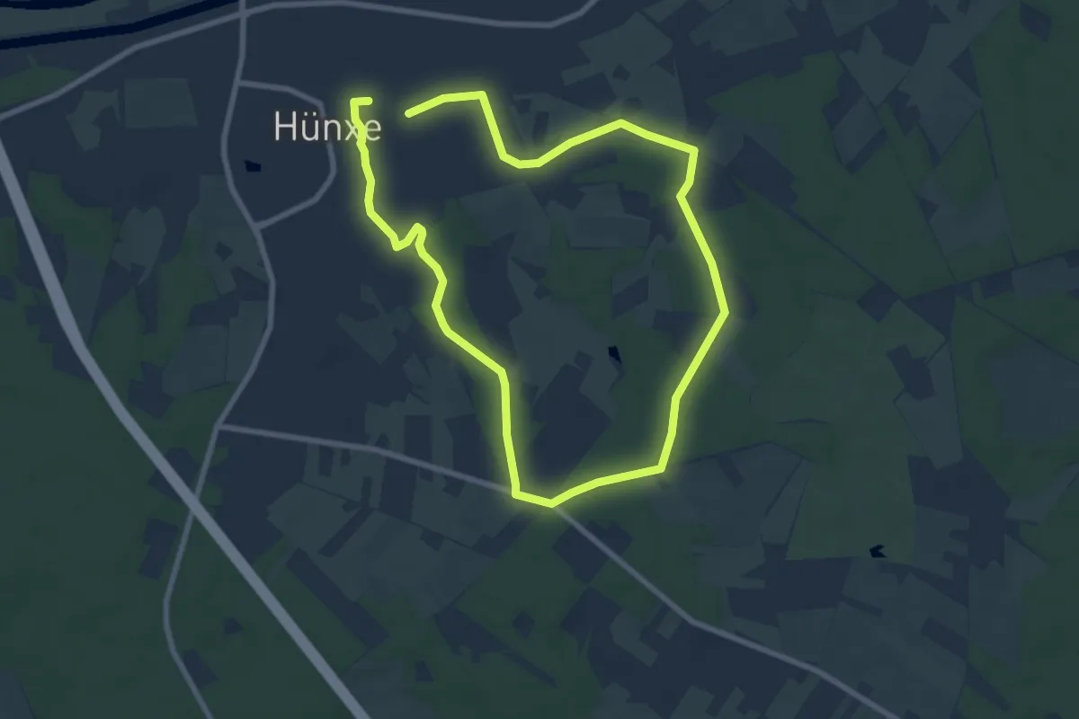
Easy · Trail
Hünxe Rundweg A1
6.5 km · ↑ 45 m · 1 h 43 min
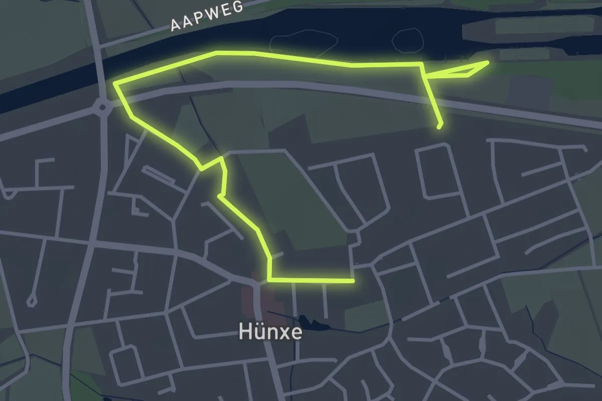
Easy · Trail
Hünxe Rundweg A3
2.1 km · ↑ 4 m · 32 min
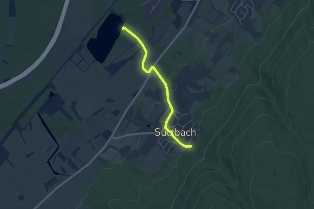
Easy · Trail
Hurstsee - Sulzbach Festplatz
4.2 km · ↑ 100 m · 1 h 13 min
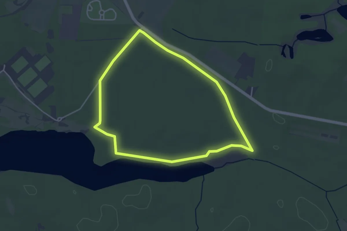
Easy · Trail
Husarenwanderweg
3.0 km · ↑ 8 m · 47 min
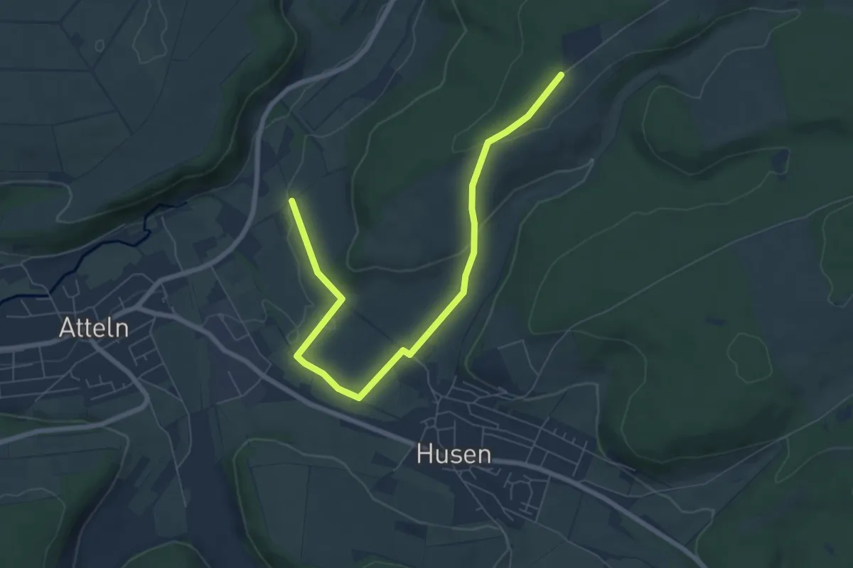
Easy · Trail
Husen Rundweg A1
7.1 km · ↑ 137 m · 1 h 59 min
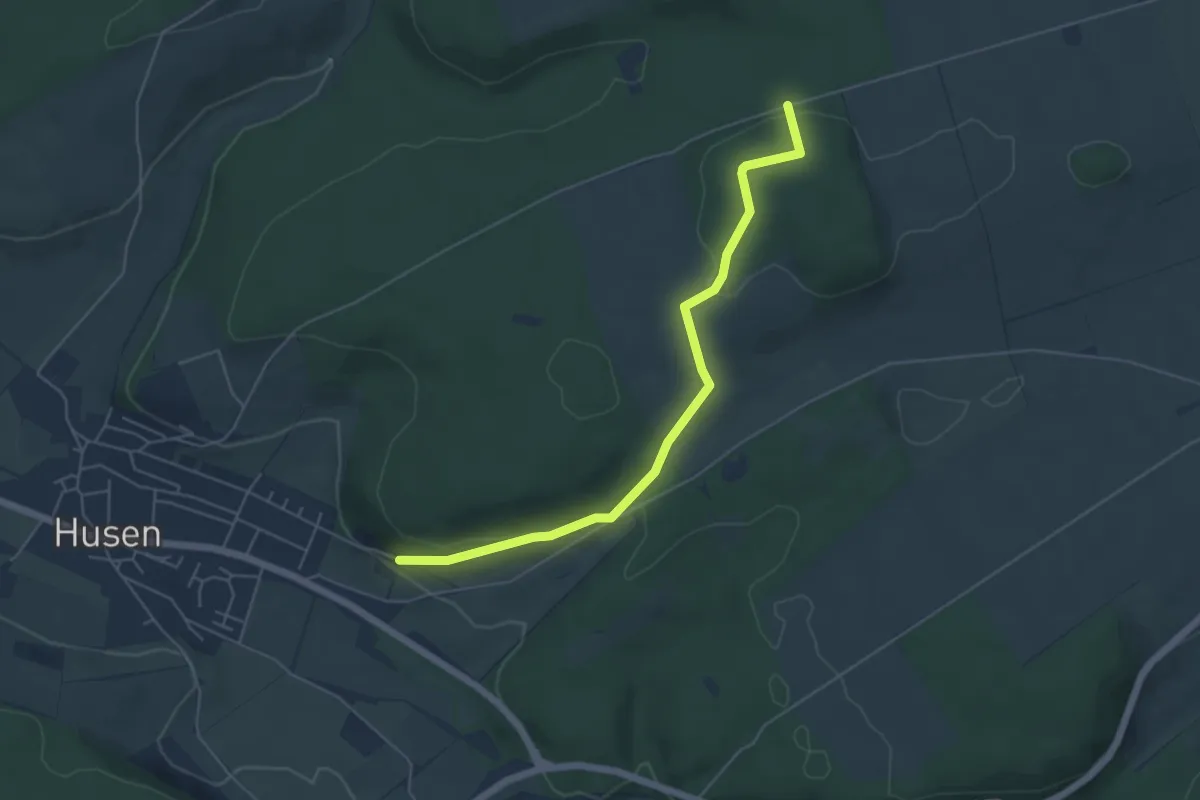
Easy · Trail
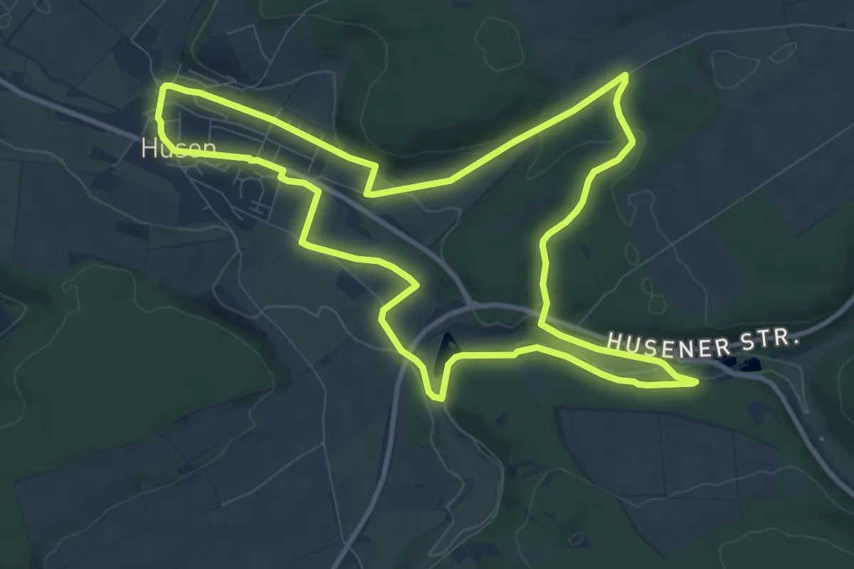
Husen Rundweg A2
4.9 km · ↑ 114 m · 1 h 24 min
Medium · Trail
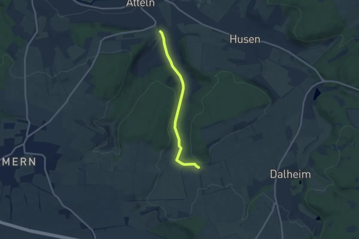
Husen Rundweg A3
9.1 km · ↑ 149 m · 2 h 37 min
Easy · Trail
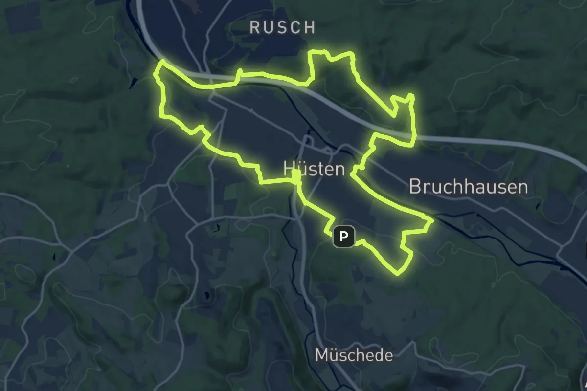
Husen Rundweg A5
5.9 km · ↑ 97 m · 1 h 36 min
Medium · Summit
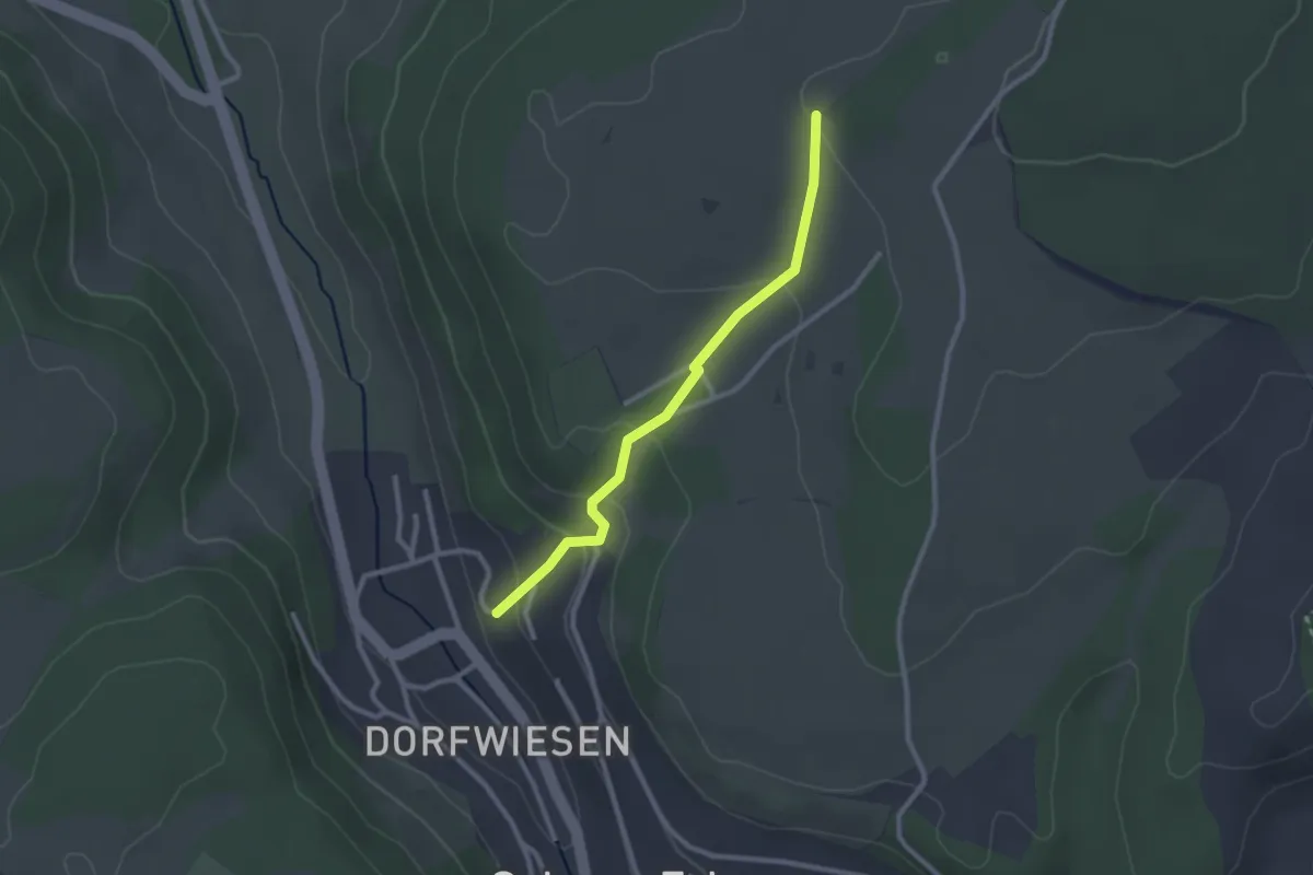
Hüstener Freiheitsweg
17.0 km · ↑ 315 m · 4 h 56 min
Easy · Trail
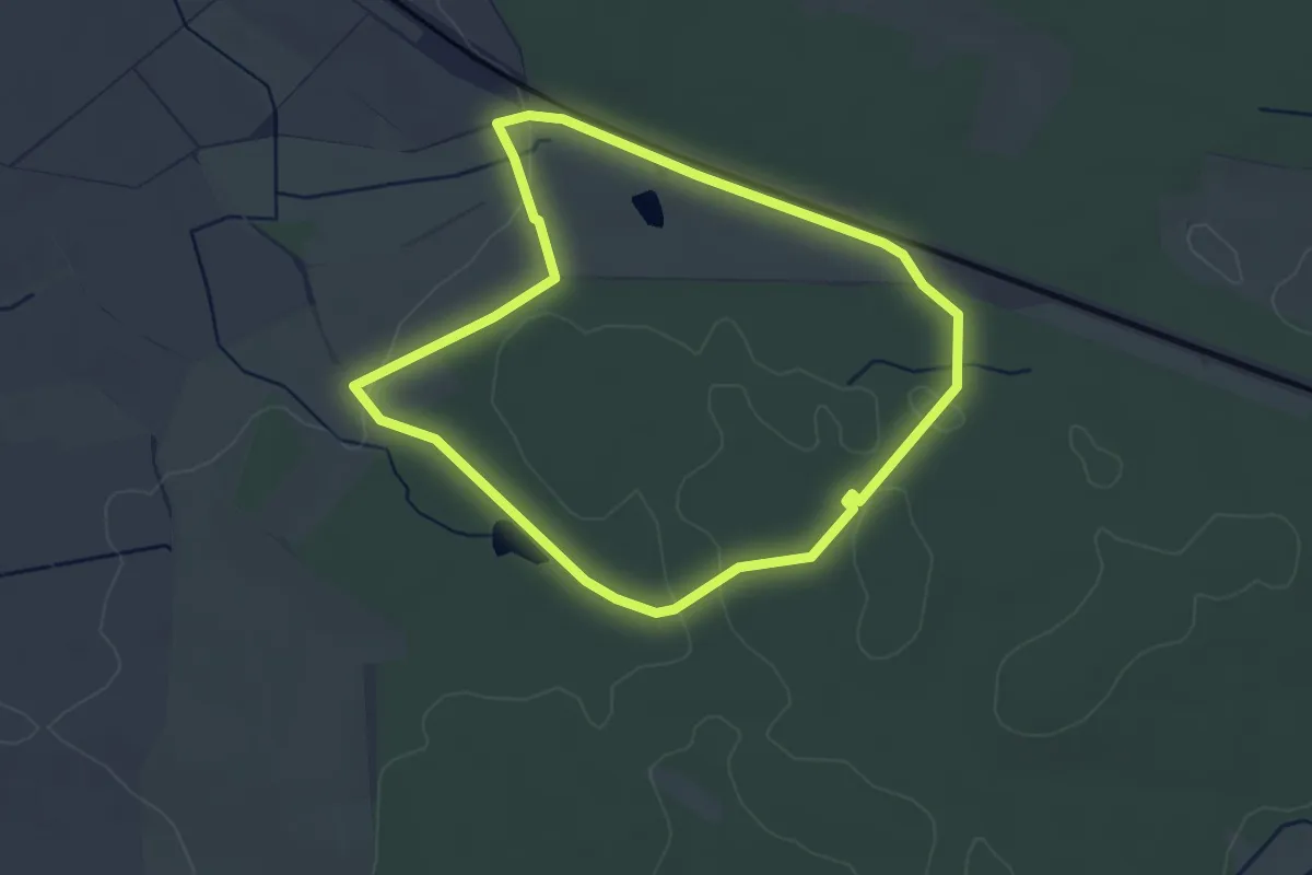
Hüter Hütte - Tierstein
2.3 km · ↑ 105 m · 47 min
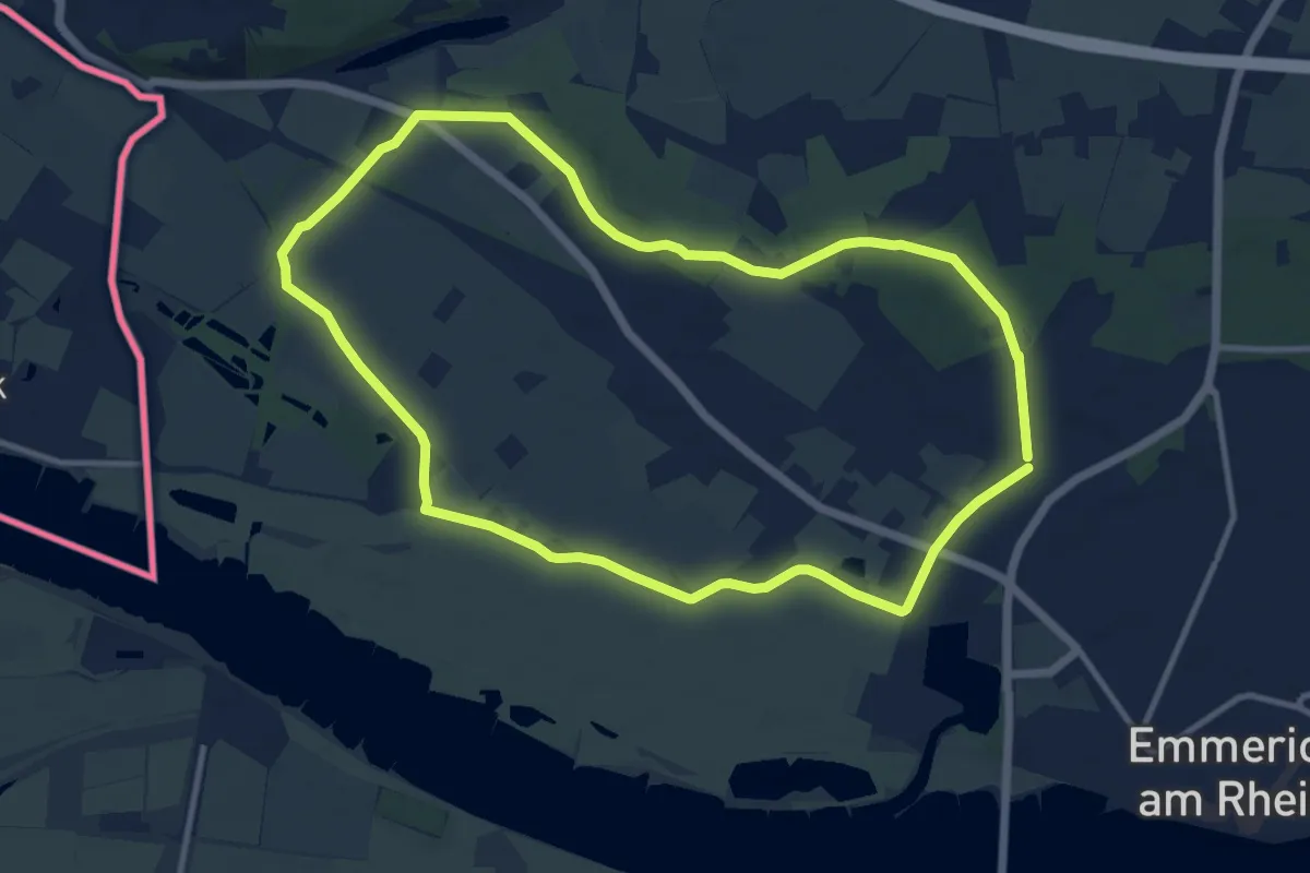
Easy · Trail
Hutewaldweg Hellmitzheim
3.2 km · ↑ 24 m · 51 min
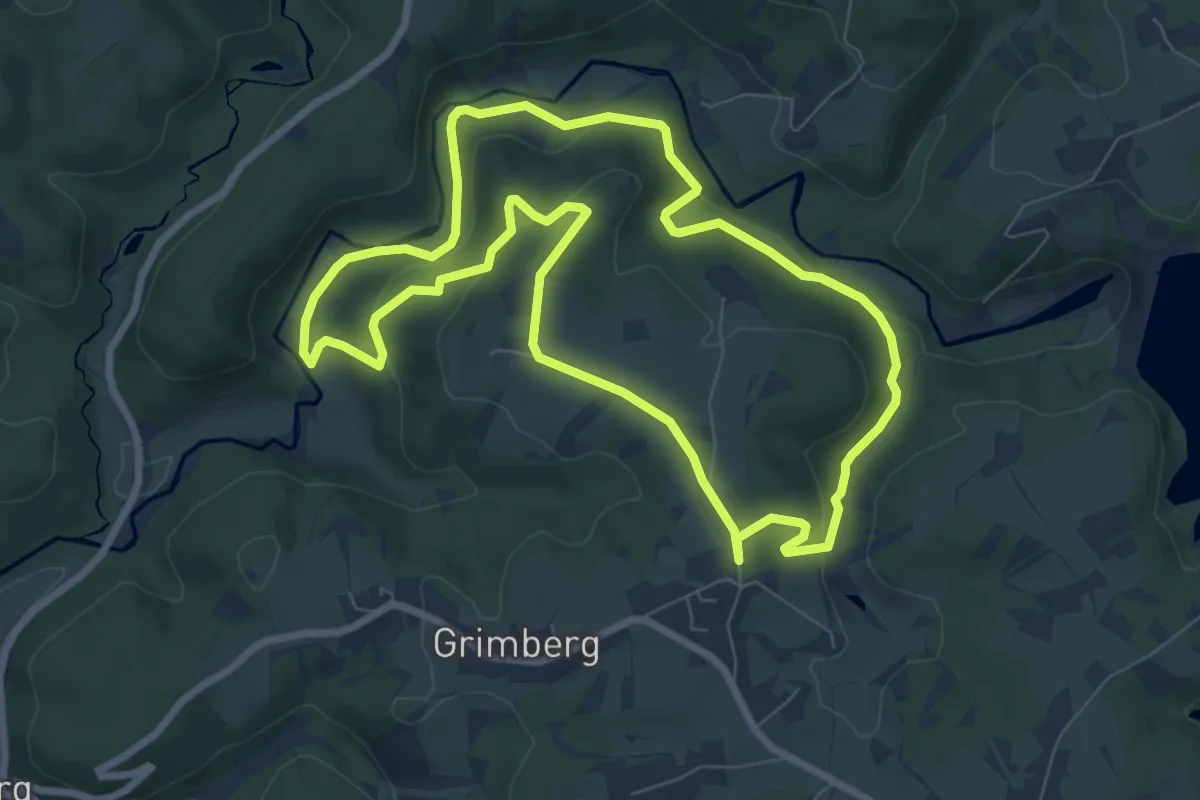
Medium · Trail
Hüthum Rundweg A1
9.9 km · ↑ 17 m · 2 h 31 min
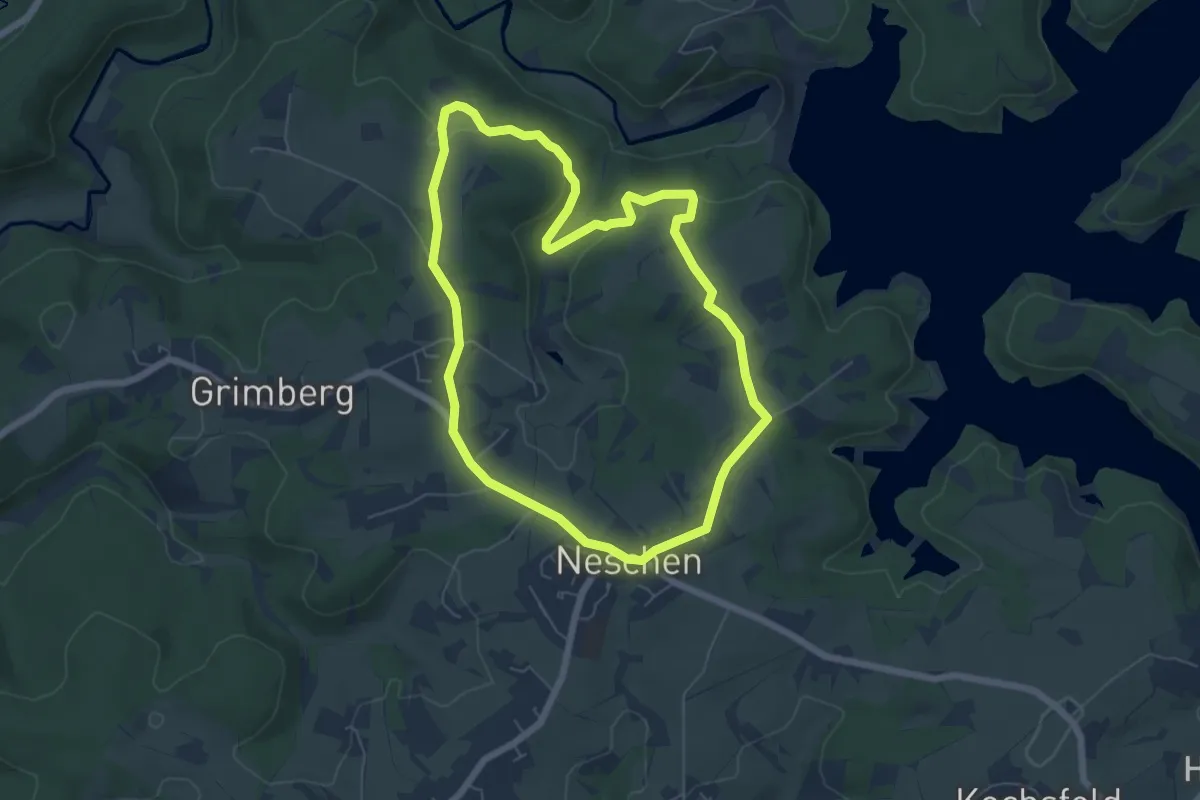
Easy · Trail
Hüttchen Rundweg A1
7.1 km · ↑ 192 m · 2 h 12 min
Easy · Trail
Hüttchen Rundweg A2
5.5 km · ↑ 78 m · 1 h 33 min
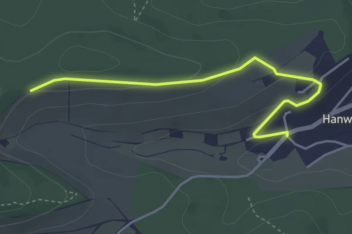
Easy · Trail
Hüttelsrain - Hanweiler
3.2 km · ↑ 92 m · 57 min
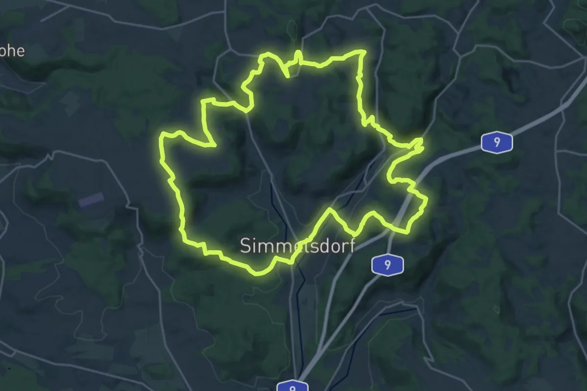
Demanding · Summit
Hüttenbacher Rundwanderweg
21.5 km · ↑ 720 m · 6 h 56 min
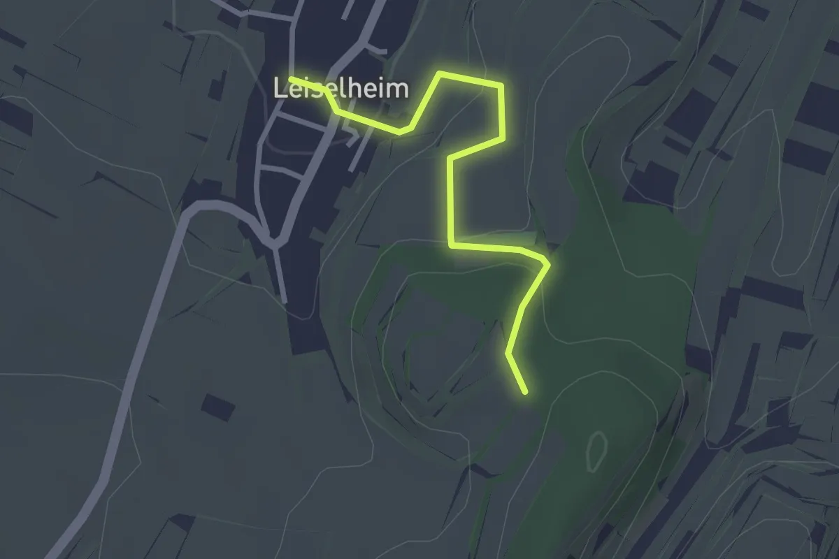
Easy · Trail
Hüttenbühl - Leiselheim Brunnen
2.4 km · ↑ 81 m · 45 min
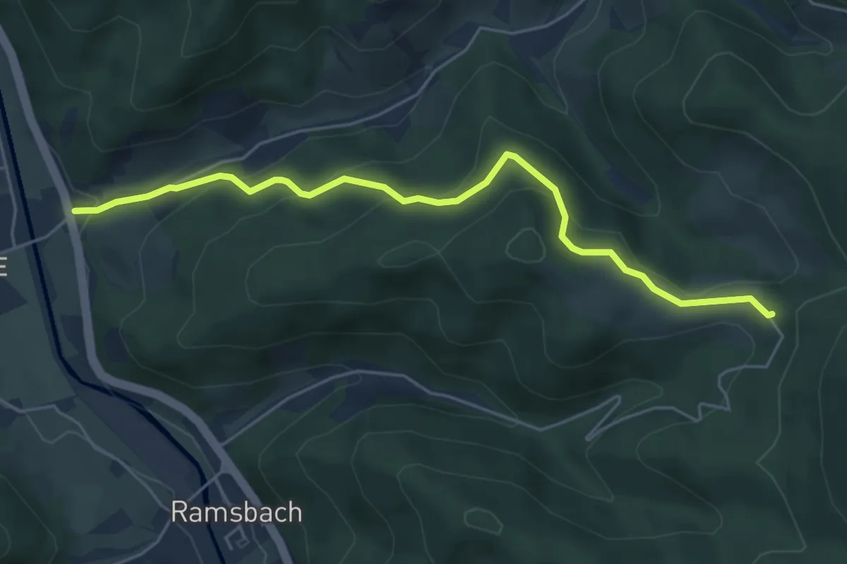
Easy · Trail
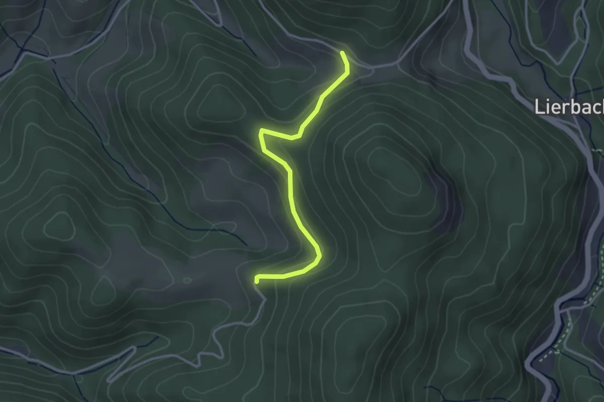
Hutteneck - Ramsbach Bierhäusle
5.0 km · ↑ 273 m · 1 h 46 min
Easy · Trail
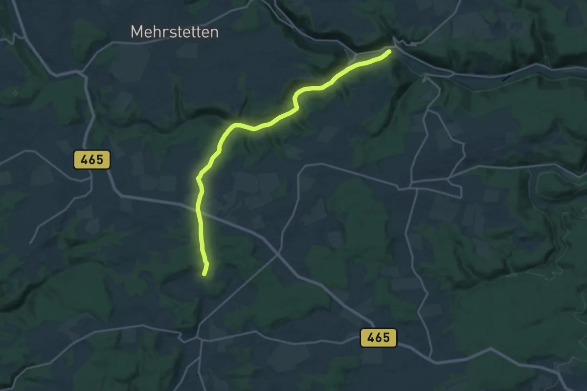
Hutteneck - Rinkenkapelle
2.7 km · ↑ 134 m · 56 min
Medium · Trail
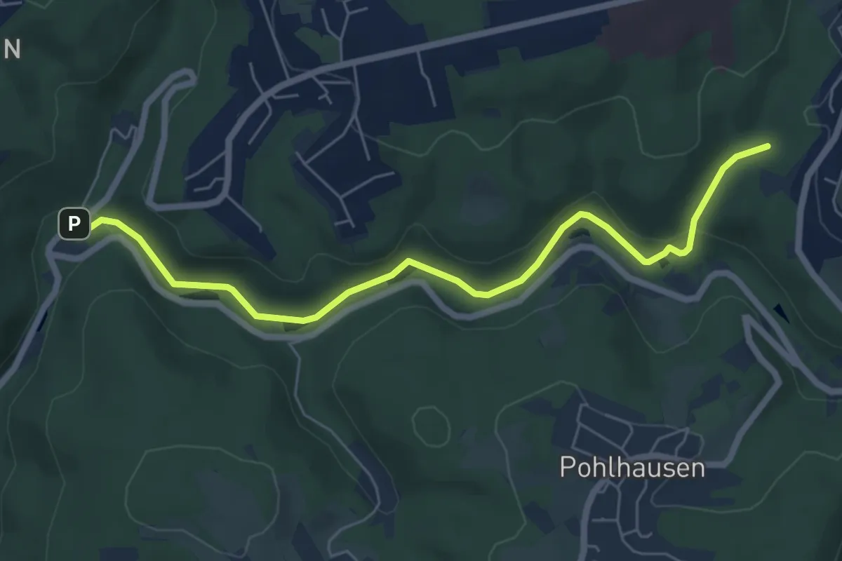
Hütten - Granheim
16.9 km · ↑ 327 m · 4 h 43 min
Easy · Trail
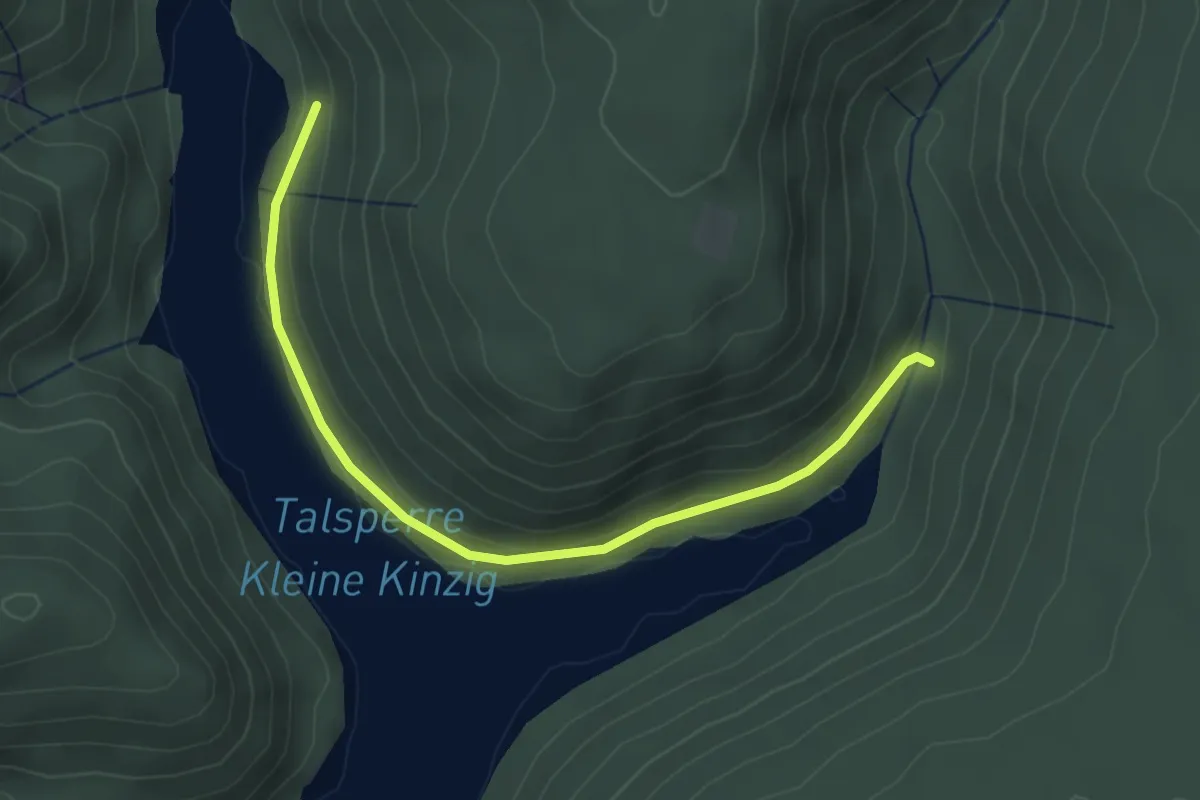
Hüttenhammer Rundweg A6
2.9 km · ↑ 99 m · 54 min
Easy · Trail
Hüttenhardtsträßle - Stausee Hüttenbächle
3.6 km · ↑ 67 m · 59 min
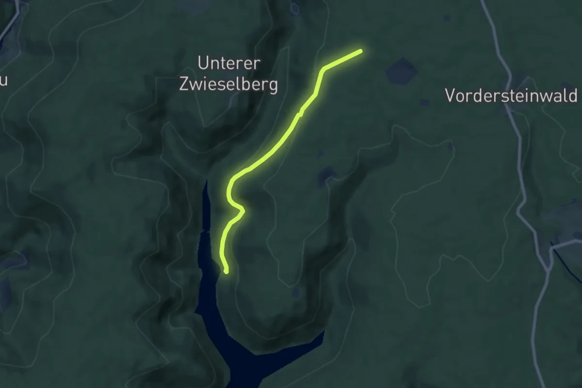
Easy · Trail
Hüttenhardtsträßle - Stumpenplatz
5.7 km · ↑ 203 m · 1 h 47 min
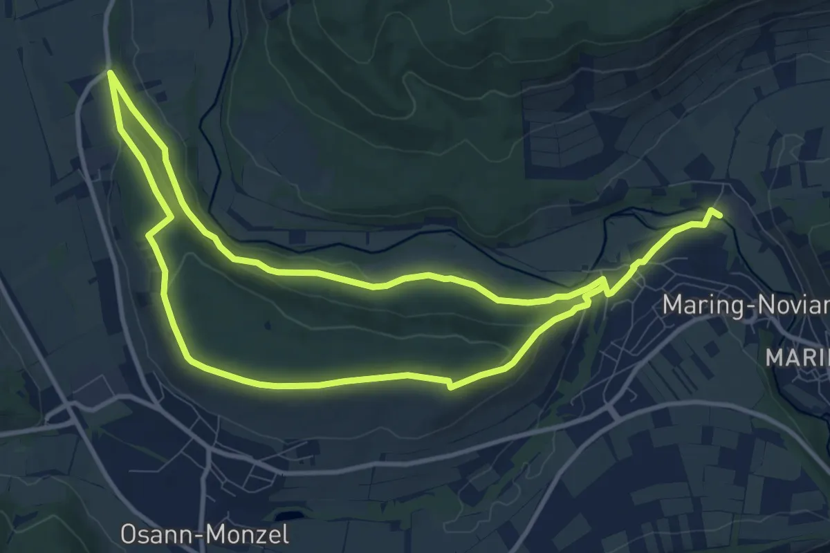
Medium · Trail
Hüttenkopfweg
9.0 km · ↑ 150 m · 2 h 35 min
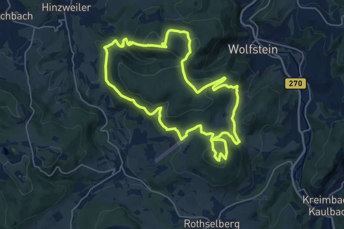
Medium · Summit
HüttenKulTour
14.5 km · ↑ 586 m · 4 h 53 min
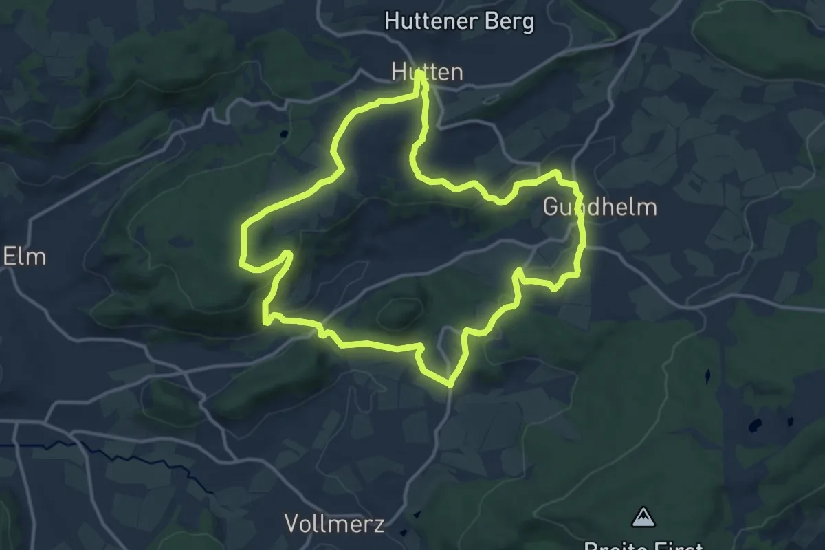
Medium · Trail
Hutten - Rundwanderweg Eichblatt
12.0 km · ↑ 284 m · 3 h 37 min
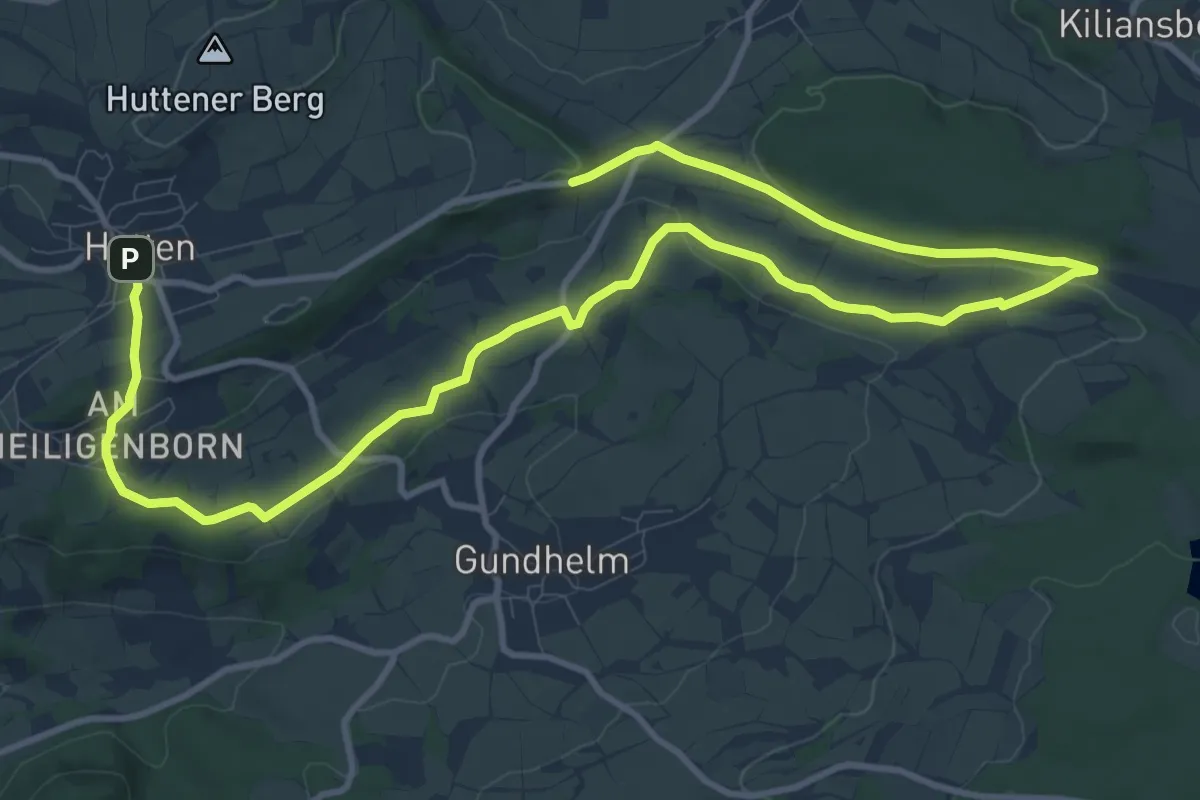
Easy · Trail
Hutten - Rundwanderweg Greifvogel
7.8 km · ↑ 151 m · 2 h 16 min
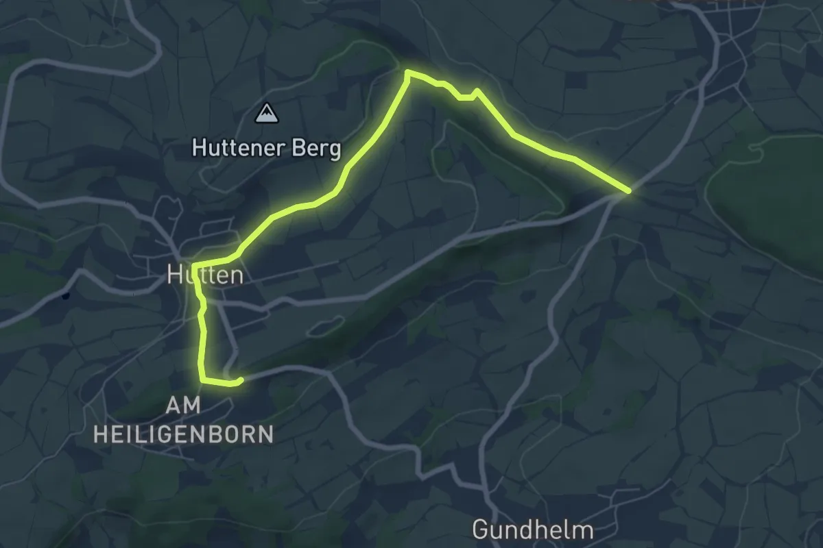
Easy · Trail
Hutten - Rundwanderweg Rehbock
3.5 km · ↑ 59 m · 1 h
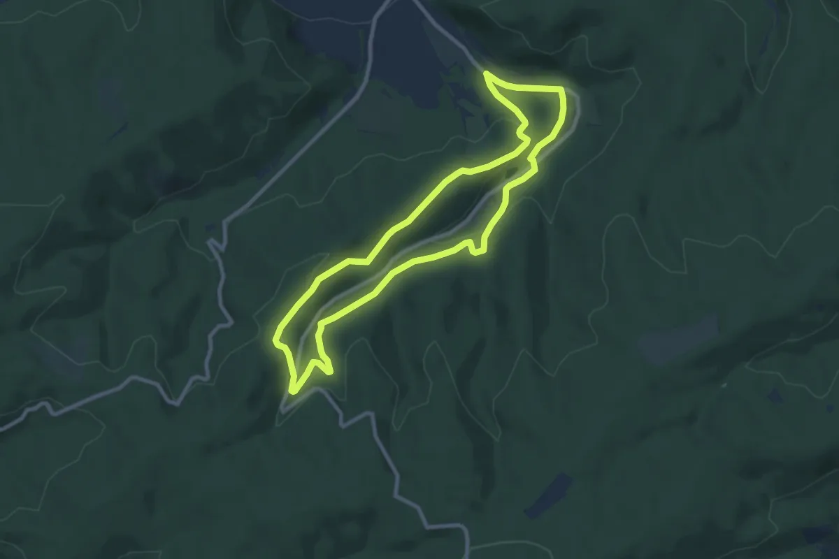
Easy · Summit
Hüttenrundweg
7.7 km · ↑ 191 m · 2 h 20 min
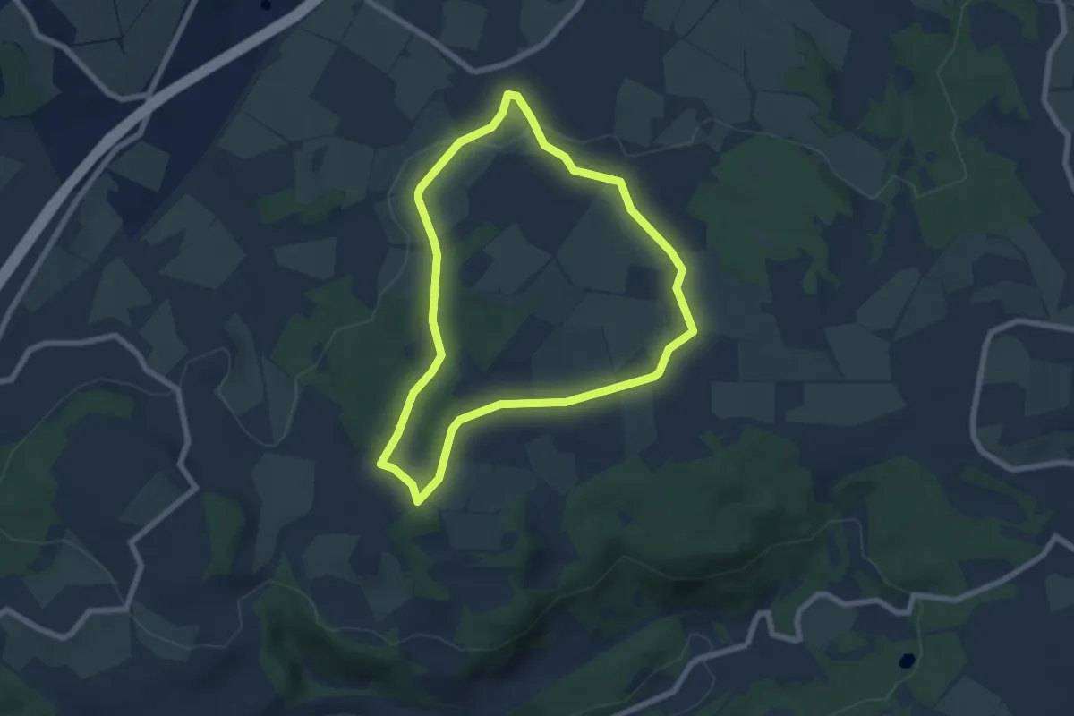
Easy · Trail
Hutten - Rundweg 1
5.6 km · ↑ 89 m · 1 h 35 min
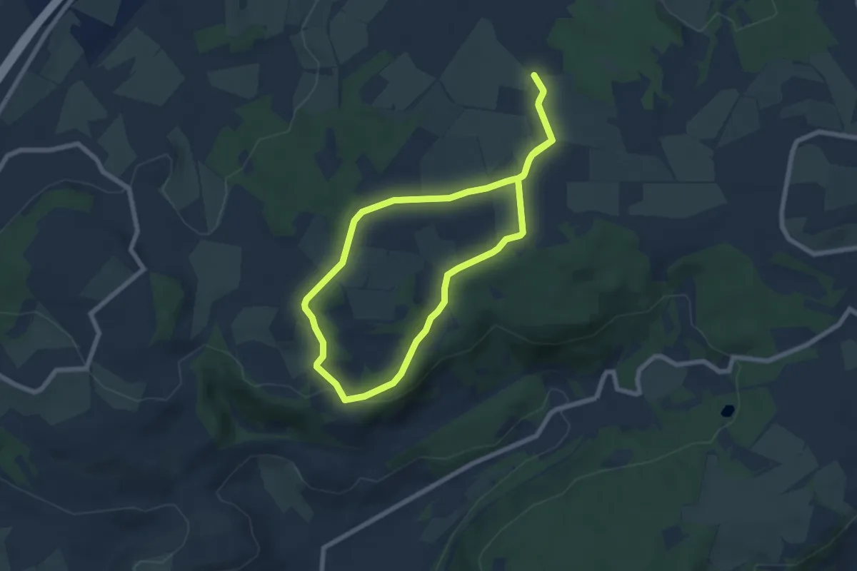
Easy · Trail
Hutten - Rundweg 2
5.5 km · ↑ 88 m · 1 h 34 min
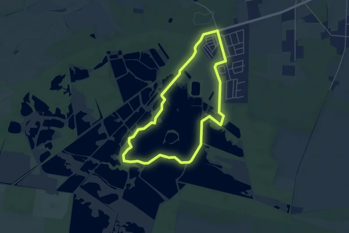
Easy · Trail
Hüttensee-Rundweg
4.4 km · ↑ 13 m · 1 h 7 min
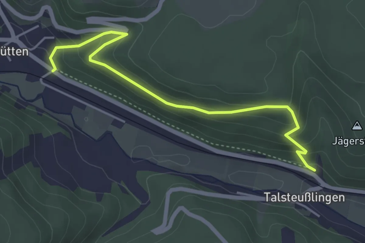
Easy · Trail
Hütten - Talsteußlingen
4.1 km · ↑ 300 m · 1 h 37 min
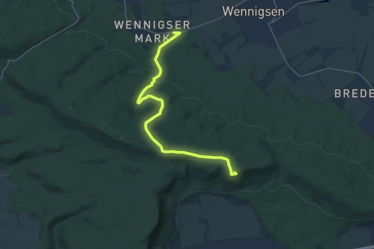
Medium · Summit
Hüttenwanderung im Deister
15.2 km · ↑ 357 m · 4 h 22 min