Trails in Germany
36,852 hiking trails, each with its route, climb, walking time and grade.
All trails, page 292 of 768
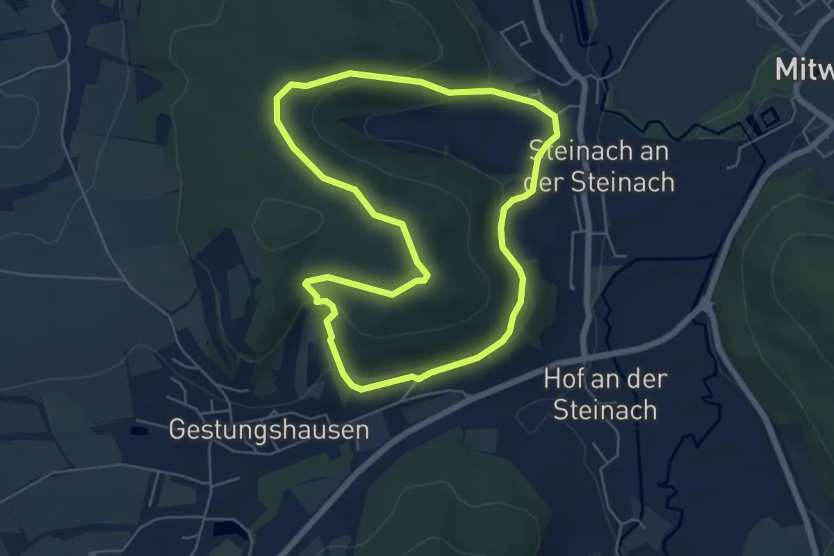
Easy · Trail
Klausenquellen-Weg
4.7 km · ↑ 161 m · 1 h 32 min
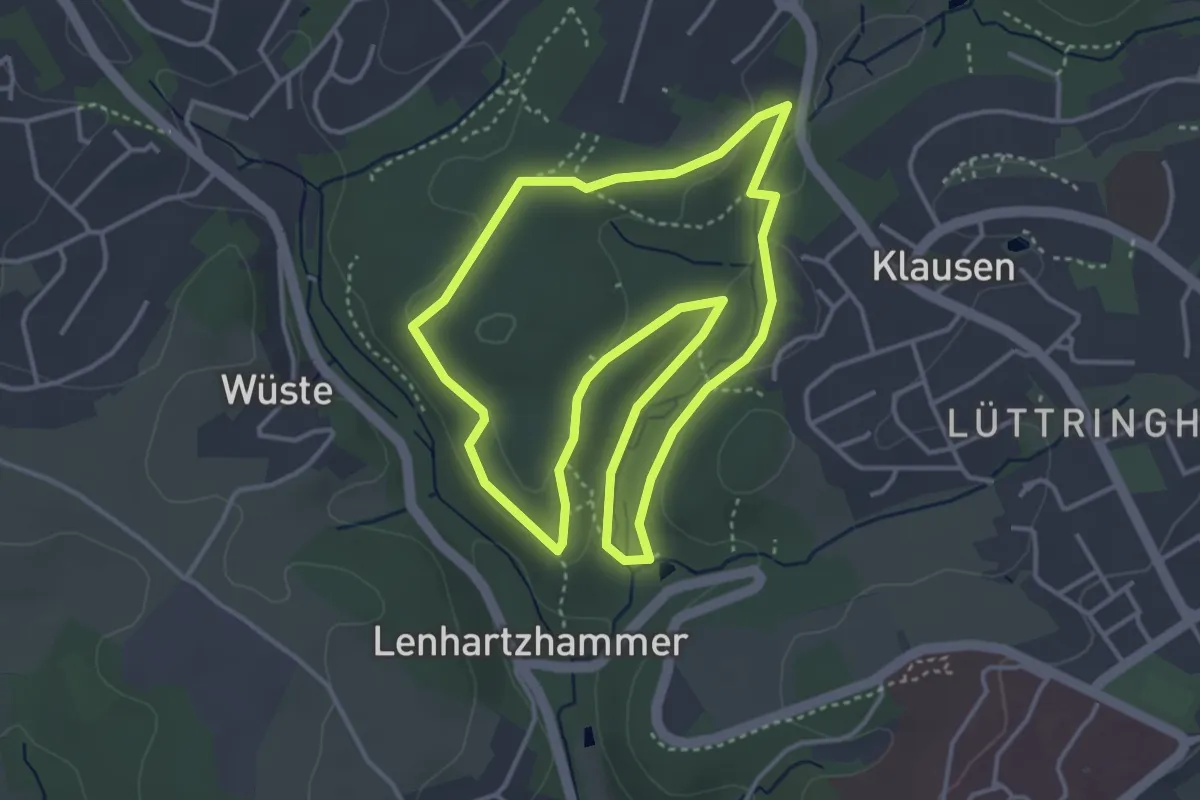
Medium · Trail
Klausen Rundweg A1
3.6 km · ↑ 63 m · 1 h 3 min
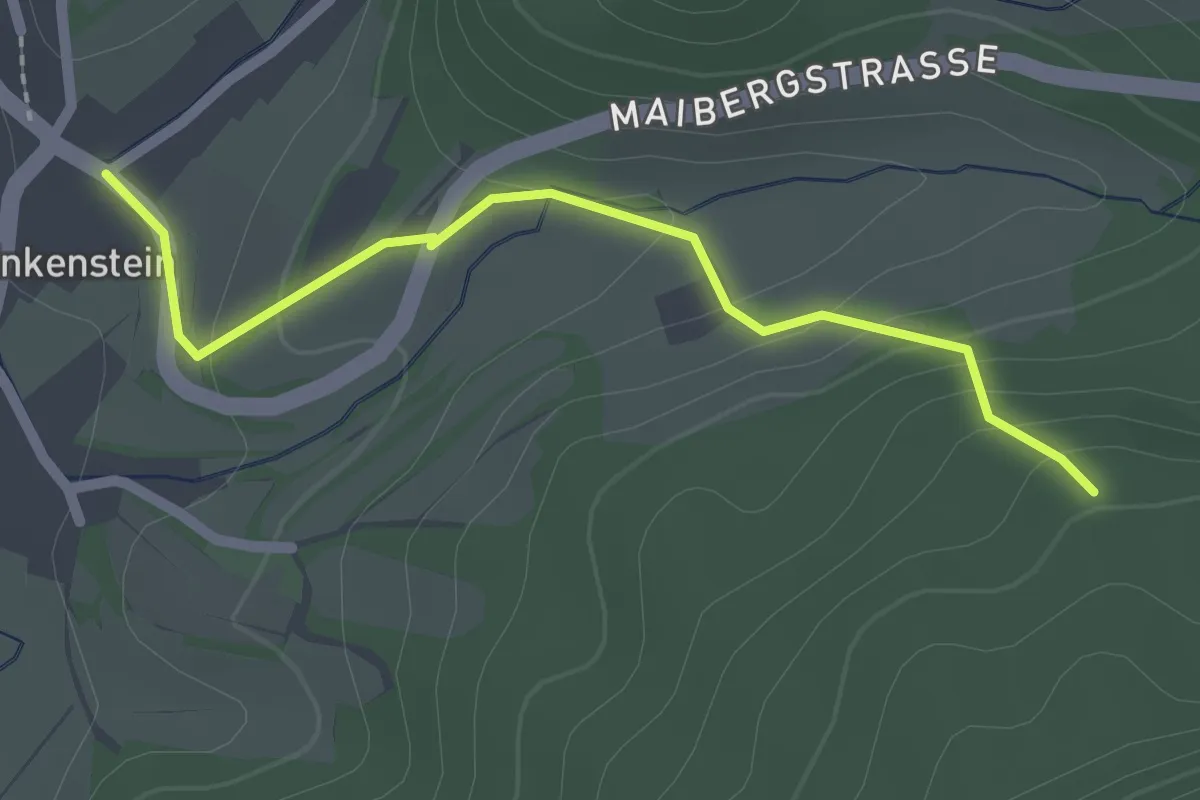
Easy · Trail
Klausenwäldeli - Enkenstein Gresger Weg
2.1 km · ↑ 98 m · 43 min
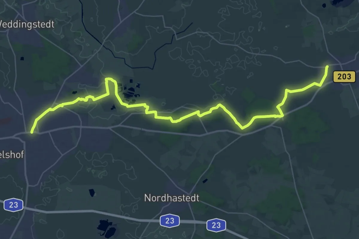
Medium · Trail
Klaus-Groth-Wanderweg
17.5 km · ↑ 99 m · 4 h 35 min
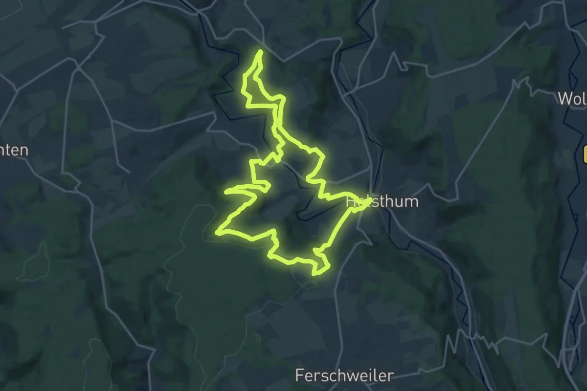
Medium · Trail
Klausnerweg
16.6 km · ↑ 492 m · 5 h 14 min
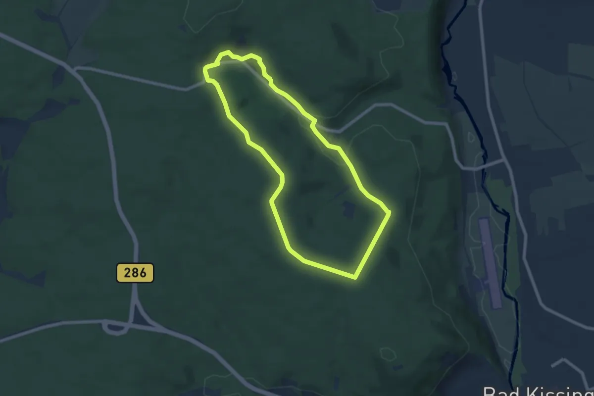
Easy · Trail
Klauswald-Tour
5.6 km · ↑ 104 m · 1 h 38 min
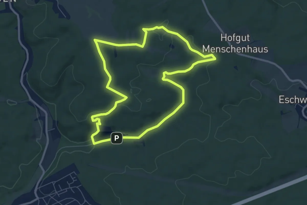
Easy · Trail
Kleberbachtal Runde
6.7 km · ↑ 127 m · 1 h 57 min
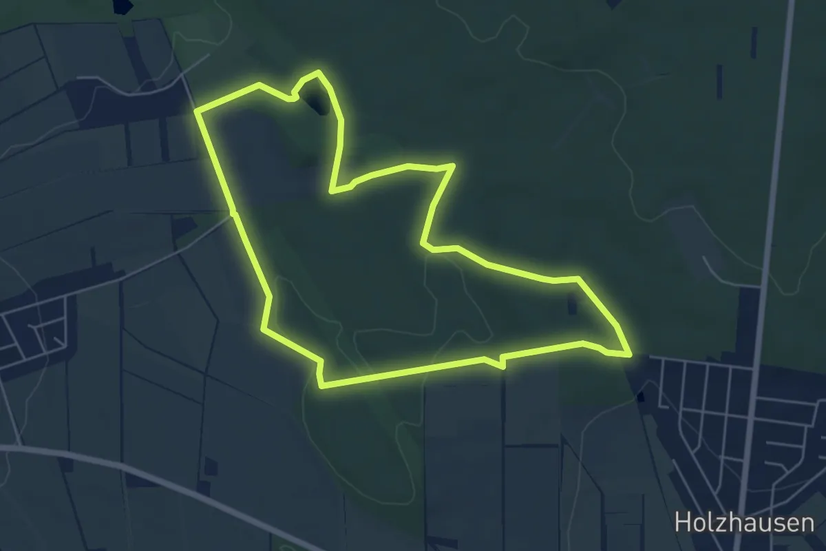
Easy · Trail
Kleeberg-Rundweg
5.3 km · ↑ 79 m · 1 h 29 min
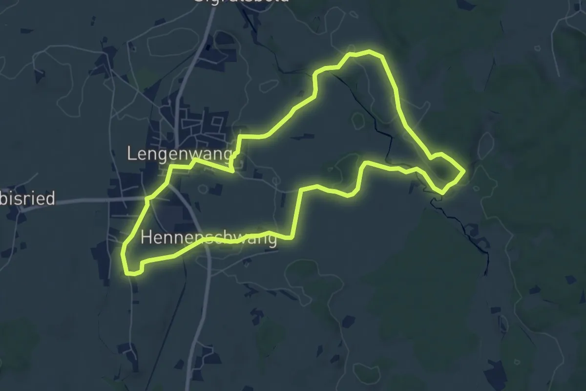
Easy · Trail
Kleeblattweg 1
7.7 km · ↑ 77 m · 2 h 6 min
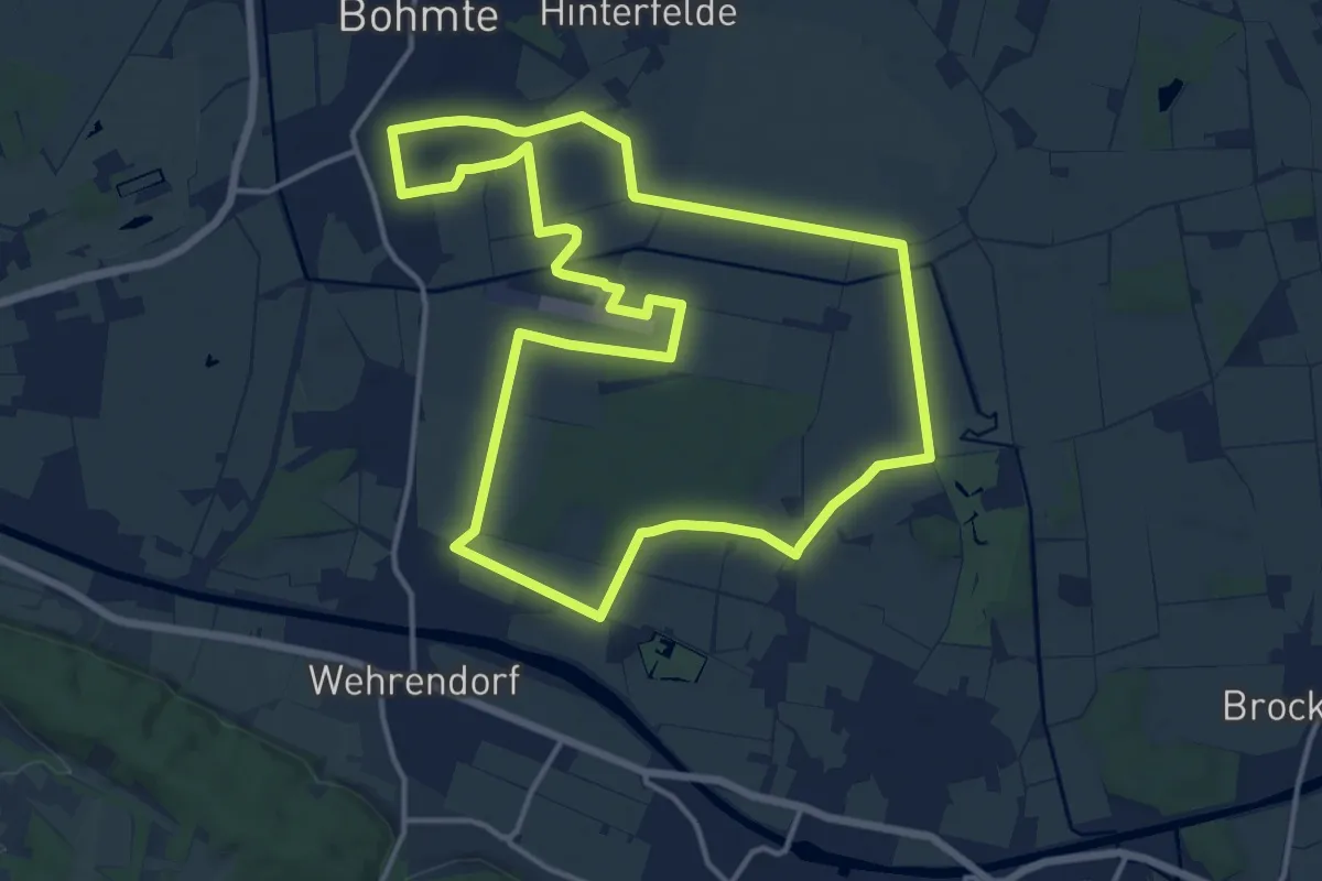
Medium · Trail
Kleeblattweg 1
13.6 km · ↑ 26 m · 3 h 28 min
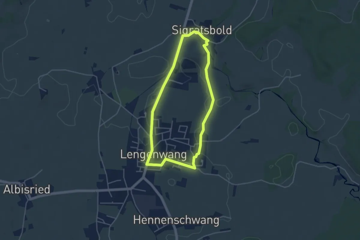
Easy · Trail
Kleeblattweg 2
3.5 km · ↑ 28 m · 56 min
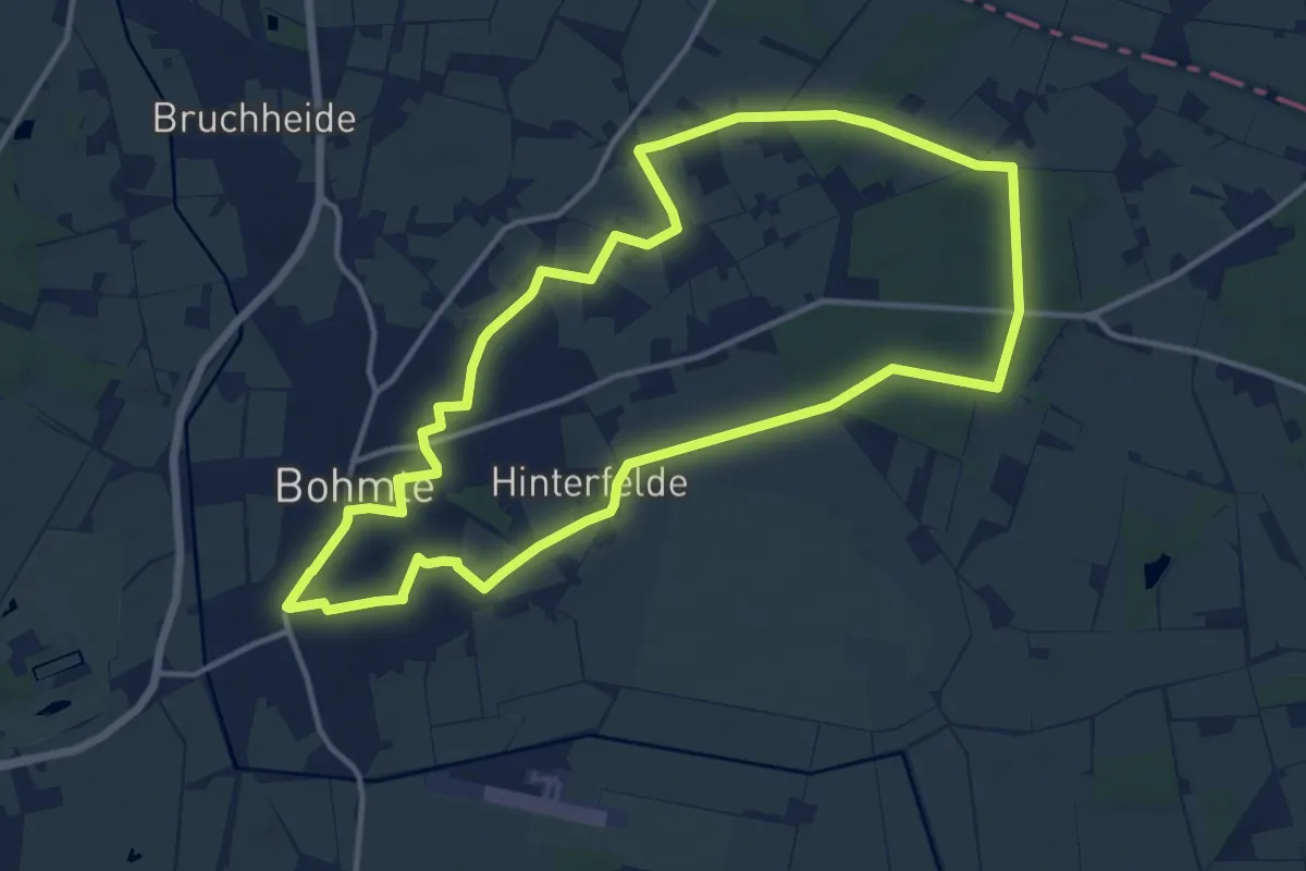
Medium · Trail
Kleeblattweg 2
12.0 km · ↑ 48 m · 3 h 6 min
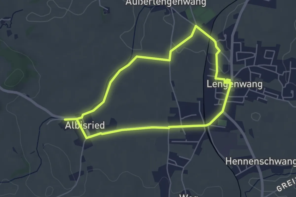
Easy · Trail
Kleeblattweg 3
3.9 km · ↑ 17 m · 1 h 1 min
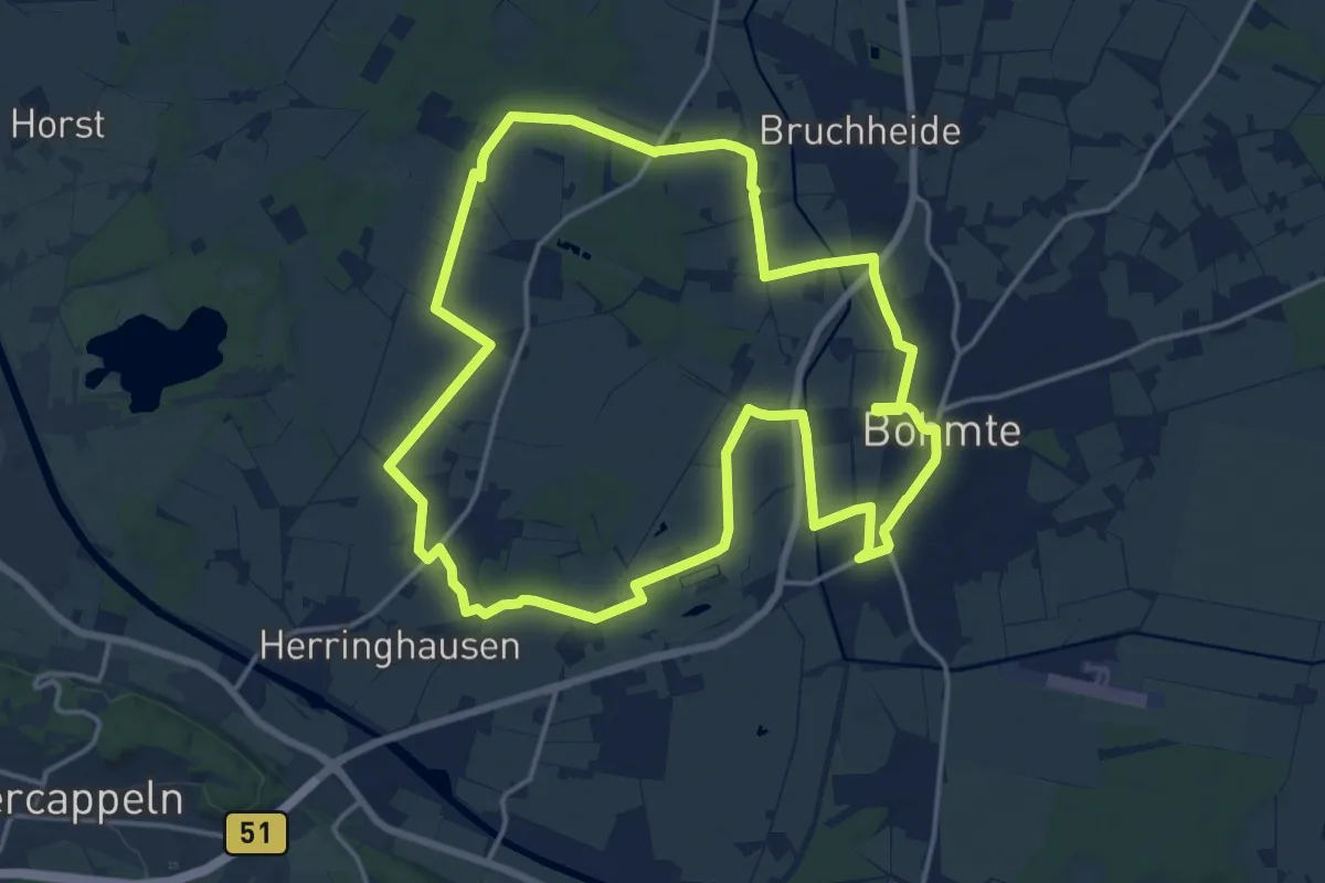
Medium · Trail
Kleeblattweg 3
15.1 km · ↑ 32 m · 3 h 51 min
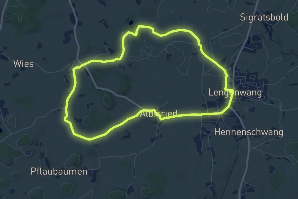
Medium · Trail
Kleeblattweg 4
8.1 km · ↑ 63 m · 2 h 10 min
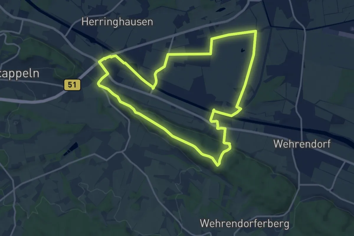
Medium · Summit
Kleeblattweg 4
11.5 km · ↑ 115 m · 3 h 7 min
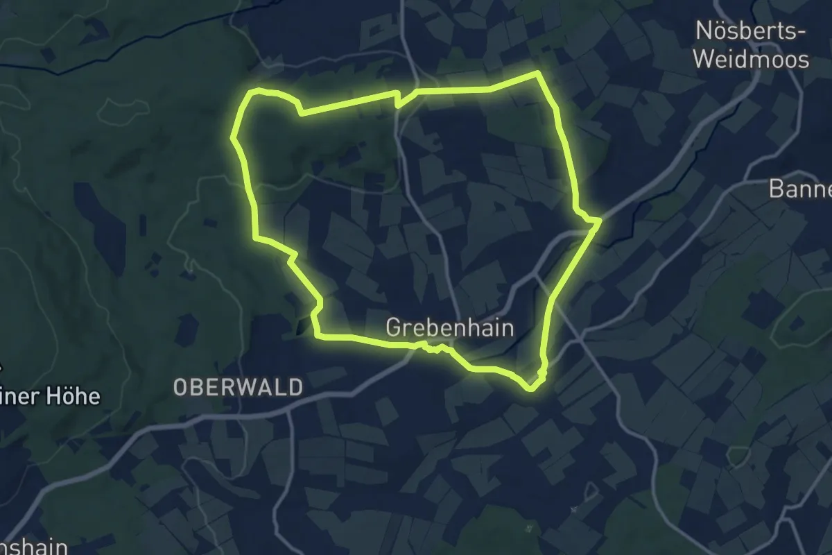
Medium · Trail
Kleekopf Weg
11.4 km · ↑ 161 m · 3 h 12 min
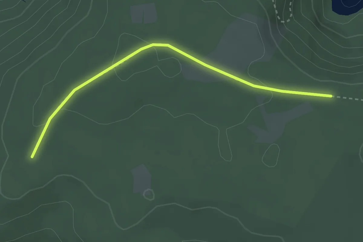
Easy · Trail
Kleemisse - Hinterer Plon
2.8 km · ↑ 71 m · 49 min
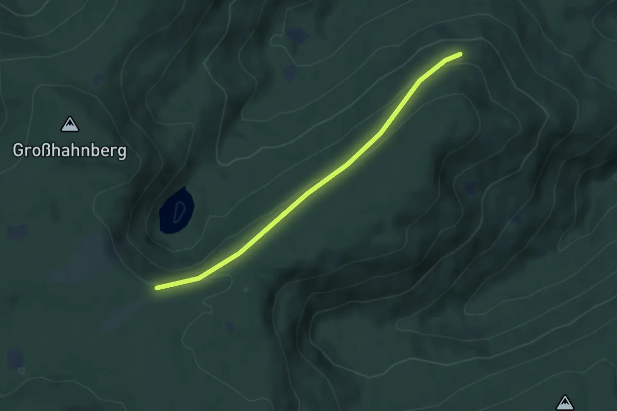
Easy · Trail
Kleemisse - Lieberg
4.1 km · ↑ 126 m · 1 h 14 min
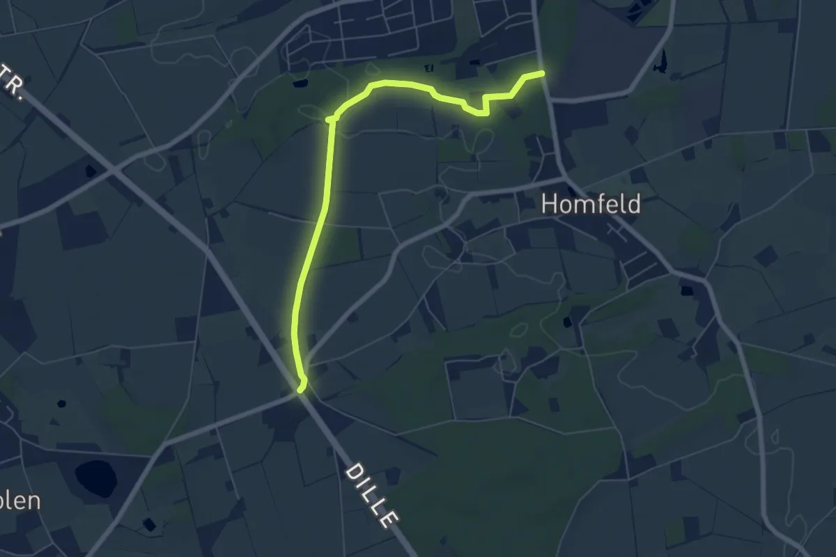
Easy · Trail
Kleinbahnweg
5.6 km · ↑ 23 m · 1 h 22 min
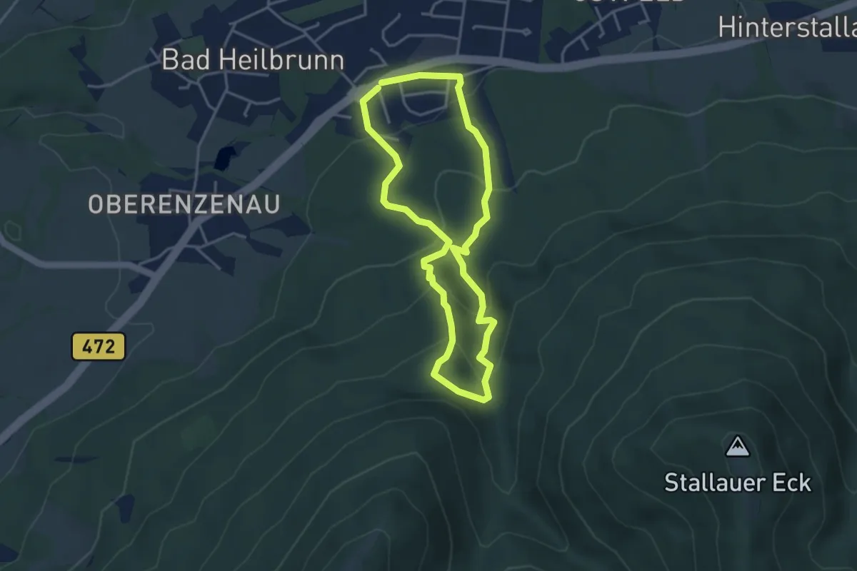
Medium · Trail
Kleine Bergrunde
3.3 km · ↑ 196 m · 1 h 15 min
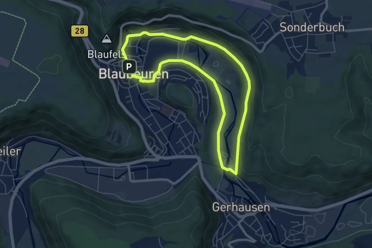
Easy · Summit
Kleine Blautour
5.2 km · ↑ 101 m · 1 h 32 min
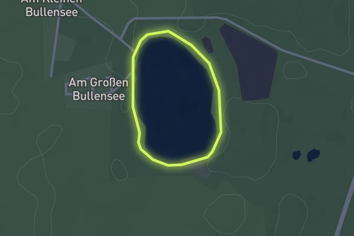
Easy · Trail
Kleine Bullenseerunde Rotenburg
1.3 km · ↑ 0 m · 19 min
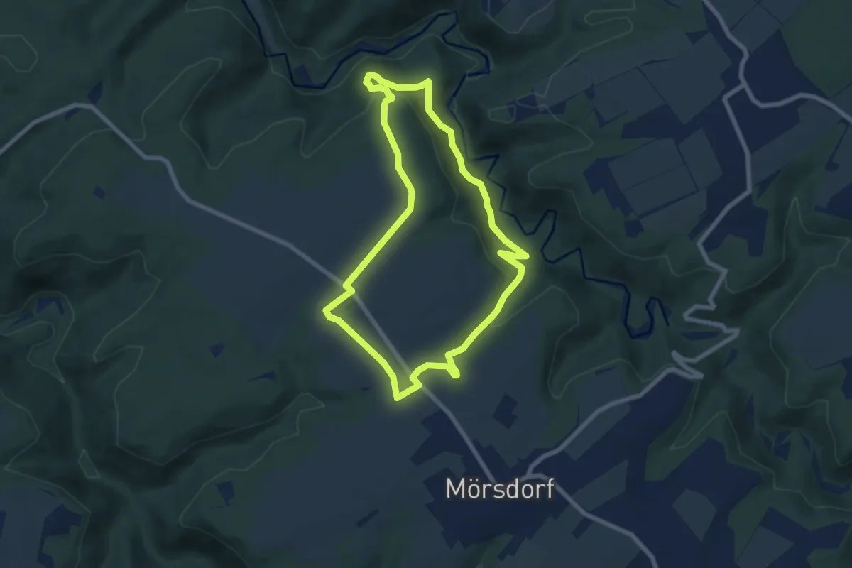
Easy · Trail
Kleine Dachskaul-Runde
6.1 km · ↑ 172 m · 1 h 54 min
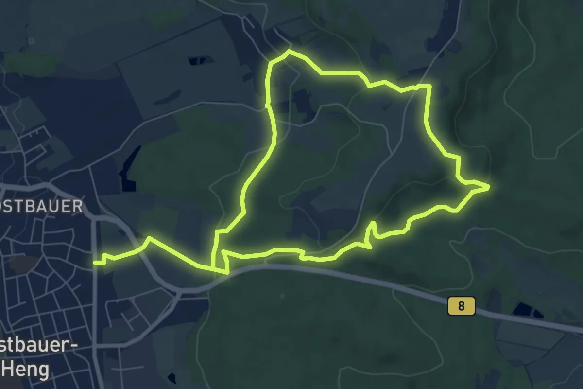
Easy · Trail
Kleine Dillbergrunde
6.3 km · ↑ 207 m · 2 h
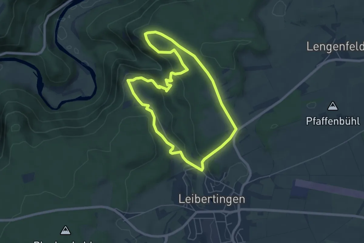
Medium · Trail
Kleine Donautraufrunde
5.1 km · ↑ 145 m · 1 h 35 min
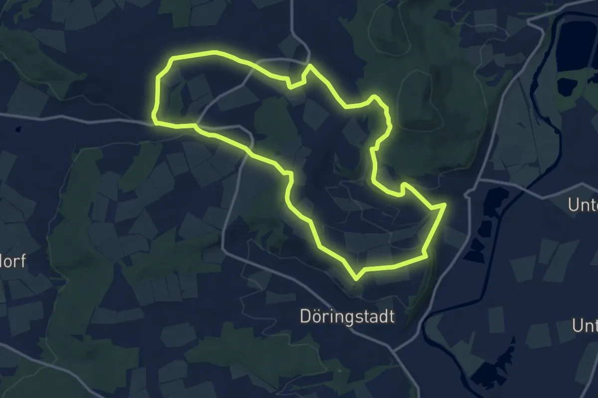
Medium · Summit
Kleine Döringstädter Runde
10.9 km · ↑ 200 m · 3 h 10 min
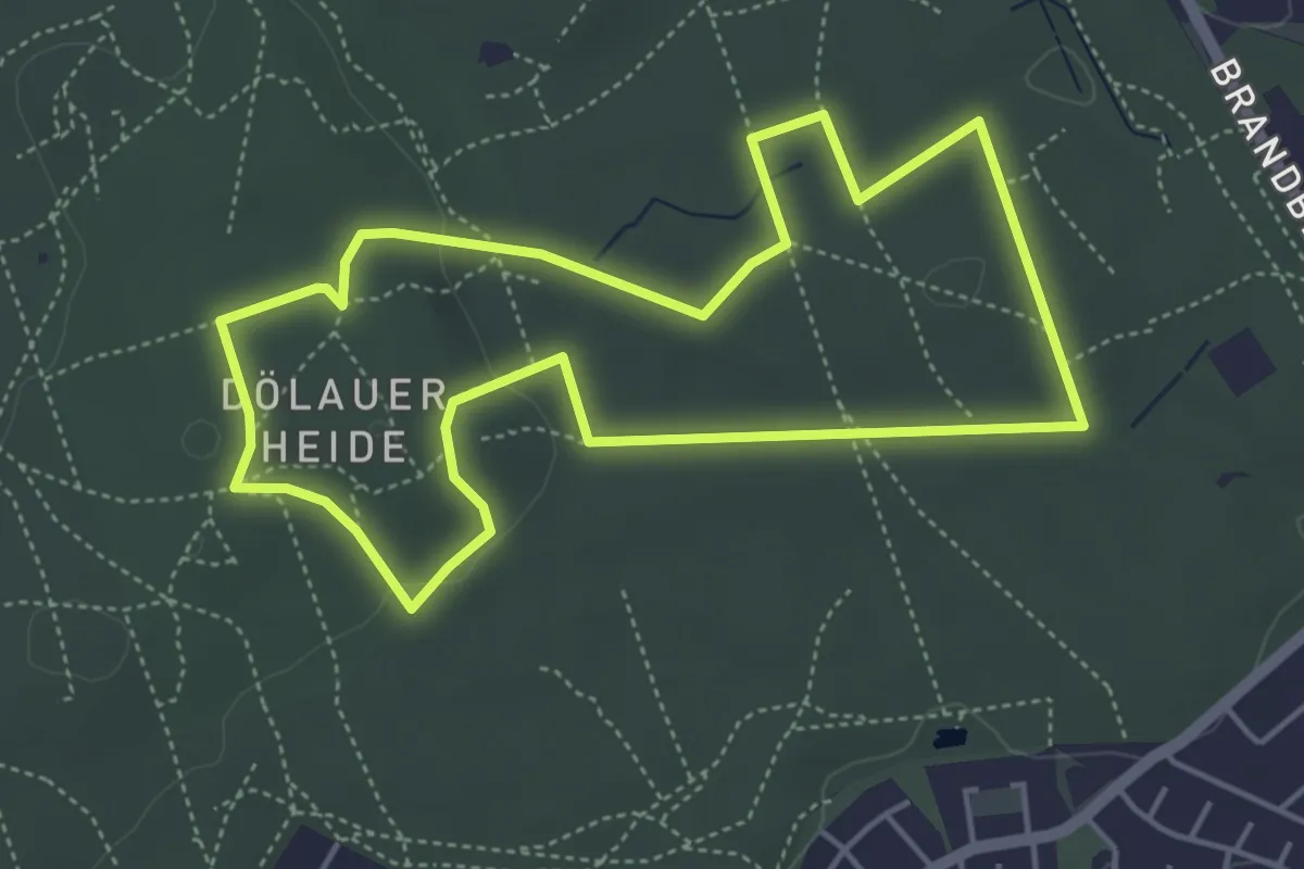
Easy · Summit
Kleine Heidetour
4.2 km · ↑ 46 m · 1 h 9 min
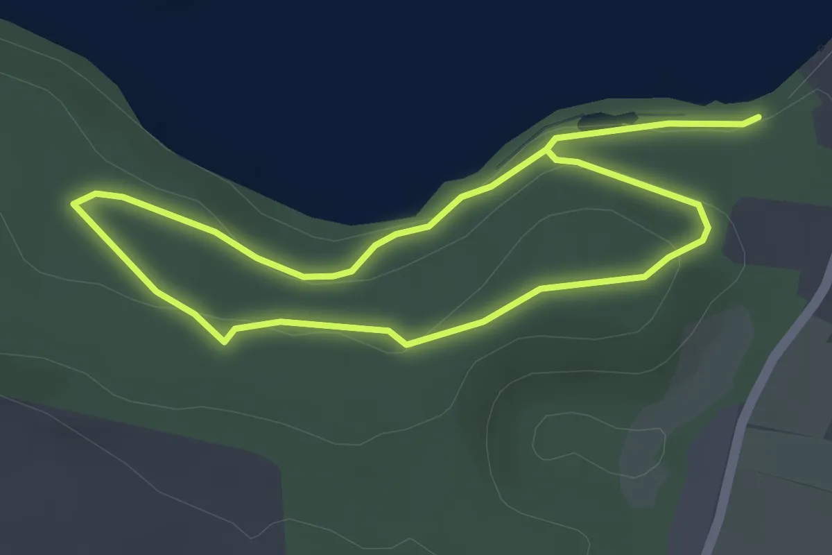
Easy · Trail
Kleine Holm-Route
2.7 km · ↑ 69 m · 49 min
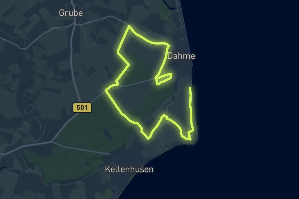
Demanding · Trail
Kleine Holzkoppel-Route
24.0 km · ↑ 39 m · 5 h 45 min
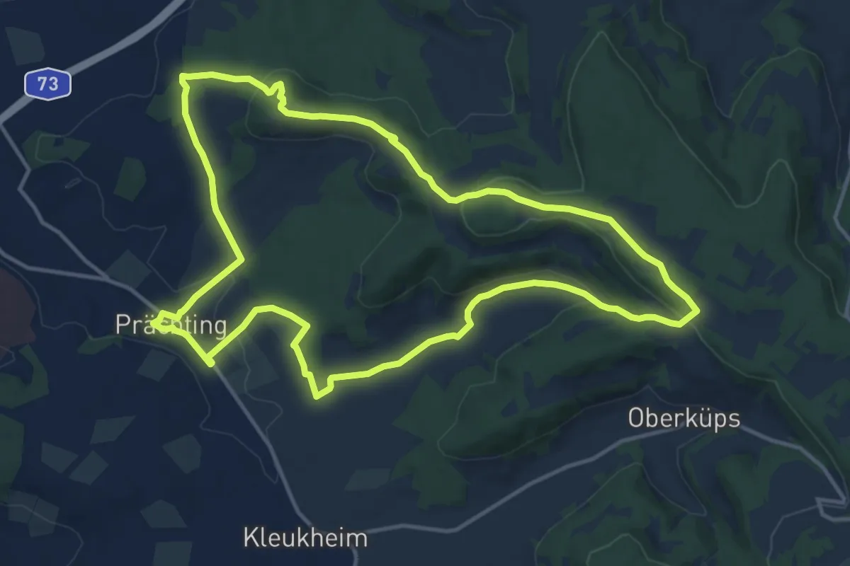
Medium · Summit
Kleine Kleukheimer Runde, auch Kelbachtaler Höhenweg (kleine Runde)
12.7 km · ↑ 302 m · 3 h 50 min
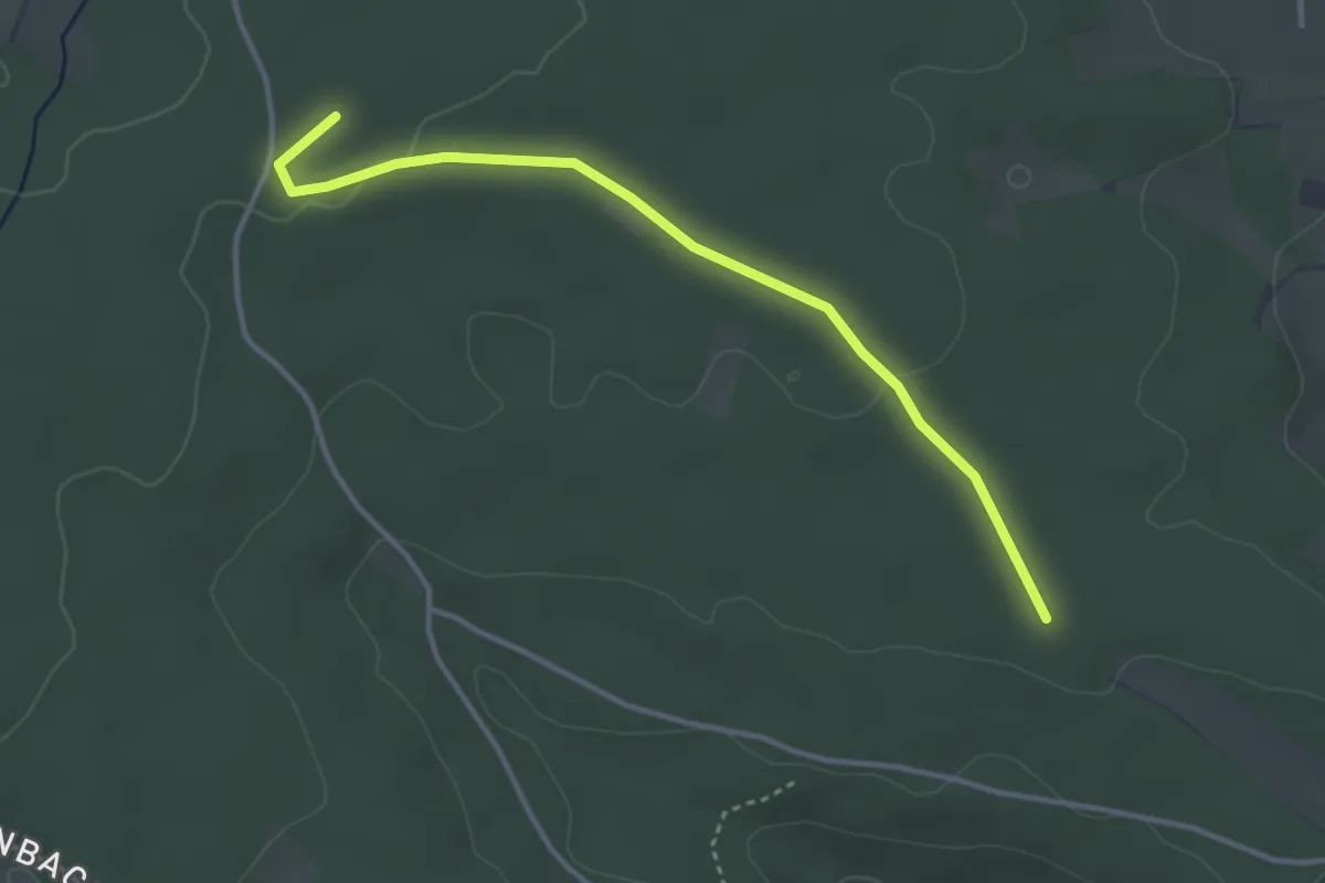
Easy · Trail
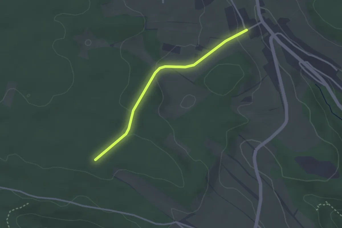
Kleine Misse - Punkt 688
3.5 km · ↑ 35 m · 54 min
Easy · Trail
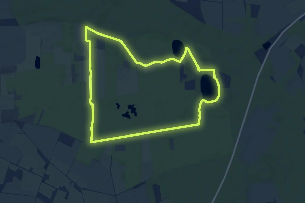
Kleine Misse - Rötenbach Linde
2.6 km · ↑ 51 m · 43 min
Easy · Trail
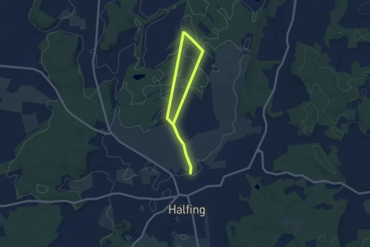
Kleine Moorrunde Rotenburg
7.5 km · ↑ 13 m · 1 h 54 min
Easy · Trail
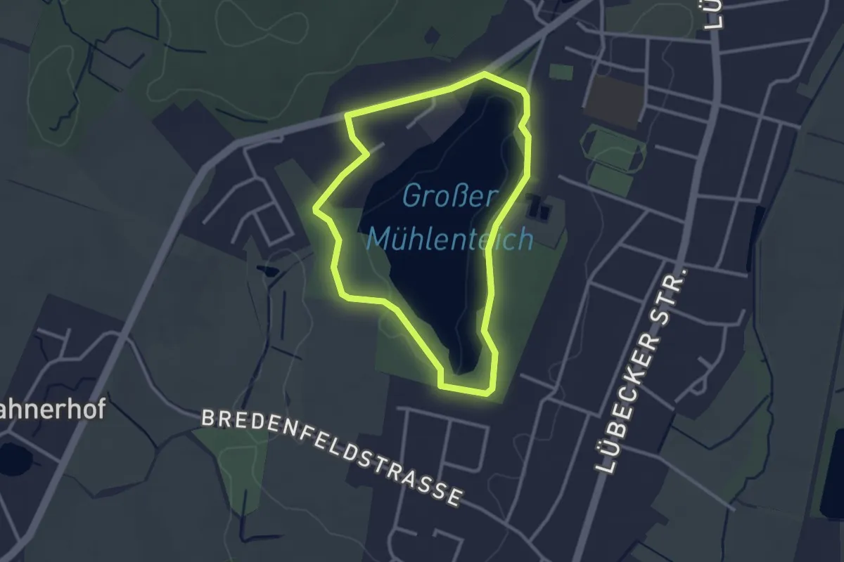
Kleine Moosrunde
4.4 km · ↑ 5 m · 1 h 6 min
Easy · Trail
Kleine Mühlenteich-Route
2.2 km · ↑ 14 m · 35 min
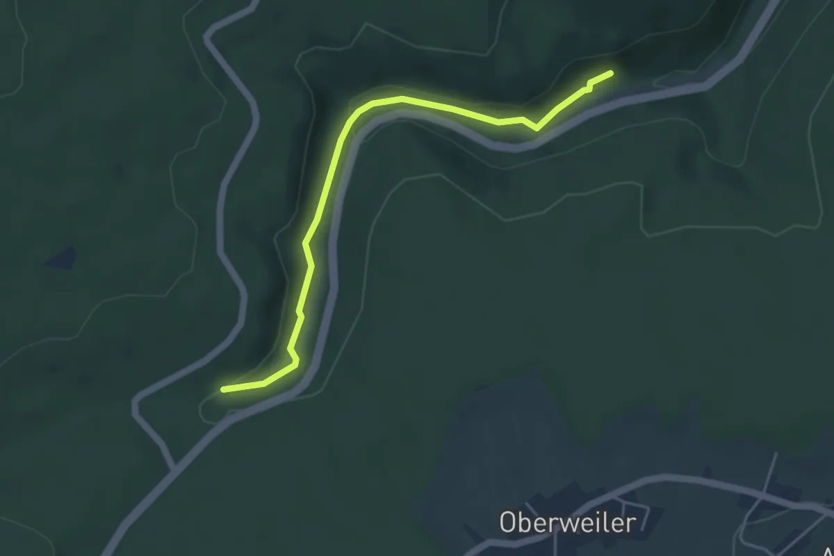
Easy · Trail
Kleinenzbrunnen - Neubachstüble
4.1 km · ↑ 106 m · 1 h 12 min
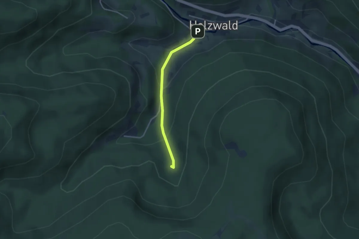
Easy · Trail
Kleiner Absbach - Parkplatz Holzwälder Höhe
2.3 km · ↑ 111 m · 47 min
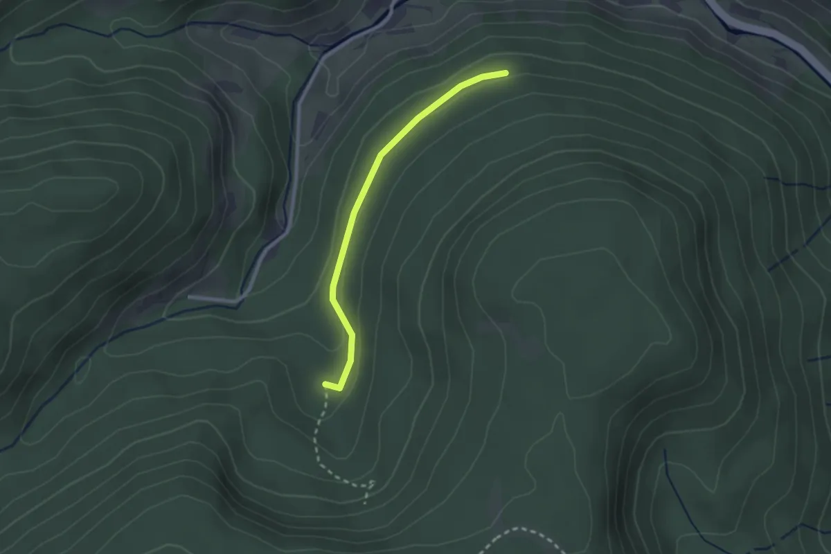
Easy · Trail
Kleiner Absbach - Winterwald
2.1 km · ↑ 73 m · 40 min
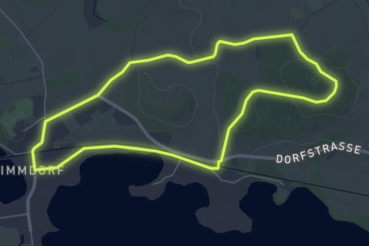
Easy · Trail
Kleine Radlandsichten-Route
4.5 km · ↑ 50 m · 1 h 14 min
Medium · Trail
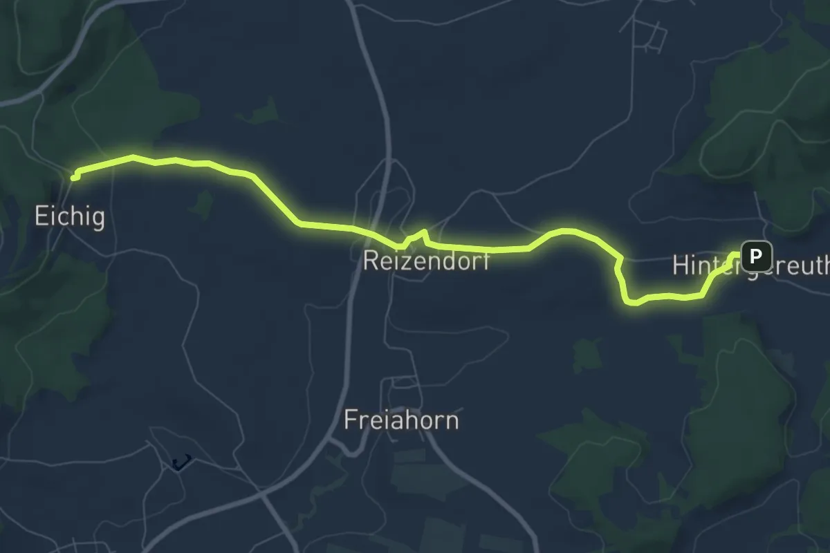
Kleiner Ahorntal Rundweg
8.4 km · ↑ 161 m · 2 h 20 min
Medium · Trail
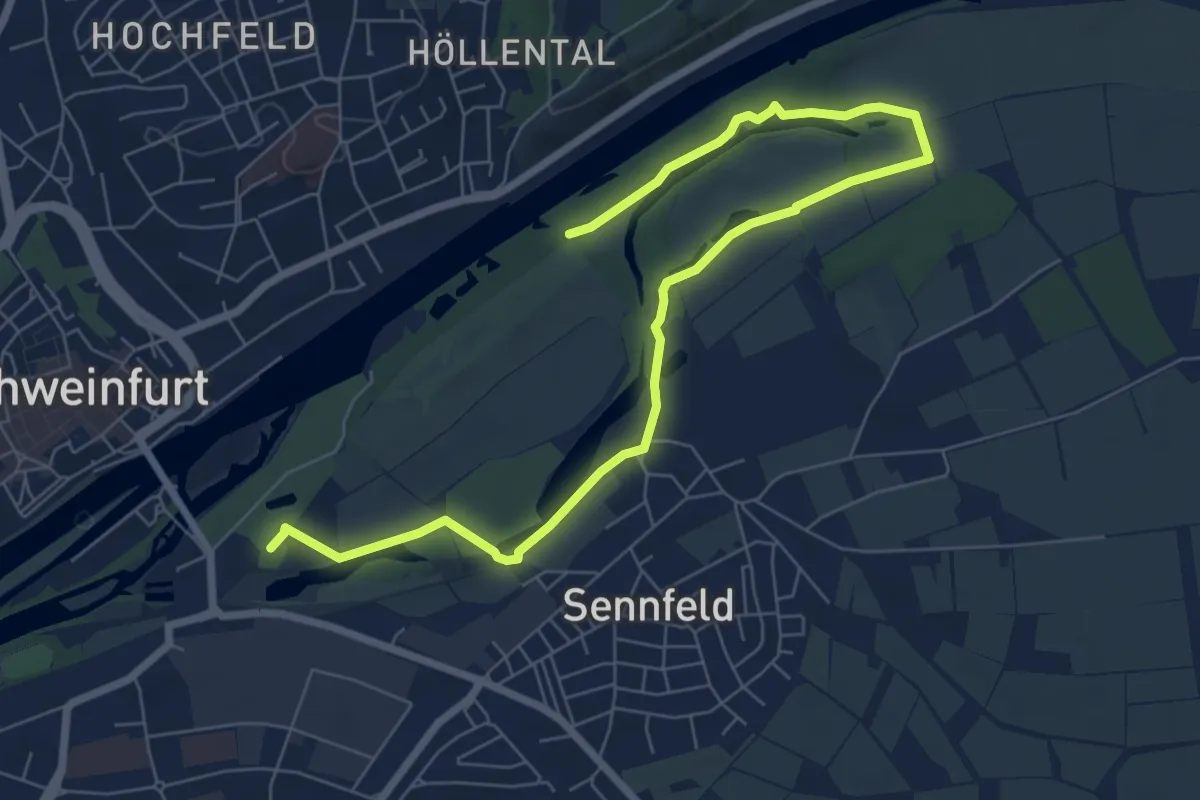
Kleiner Auenwaldachter
8.4 km · ↑ 29 m · 2 h 3 min
Medium · Trail
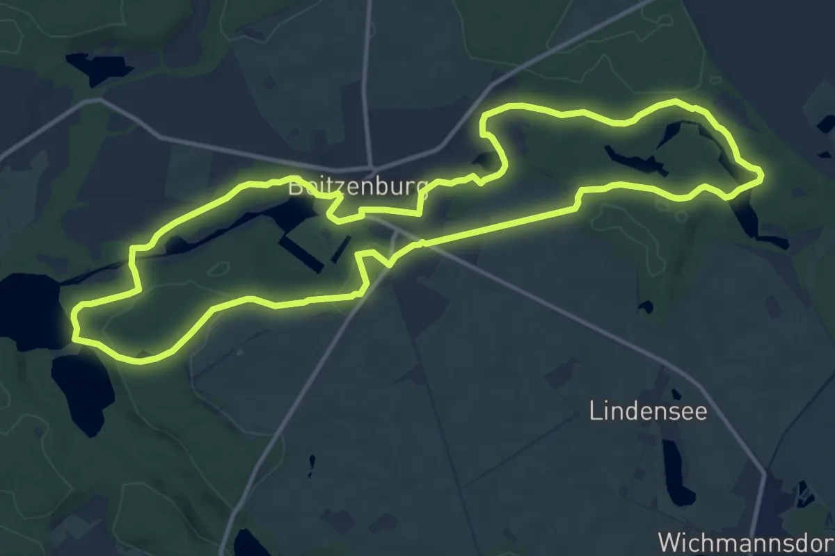
Kleiner Boitzenburger
11.0 km · ↑ 141 m · 3 h 3 min
Easy · Trail
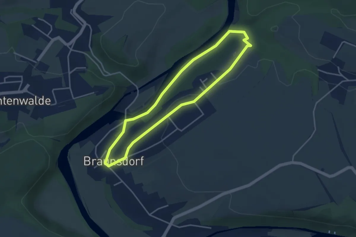
Kleiner Braunsdorfer Rundweg
2.8 km · ↑ 38 m · 48 min
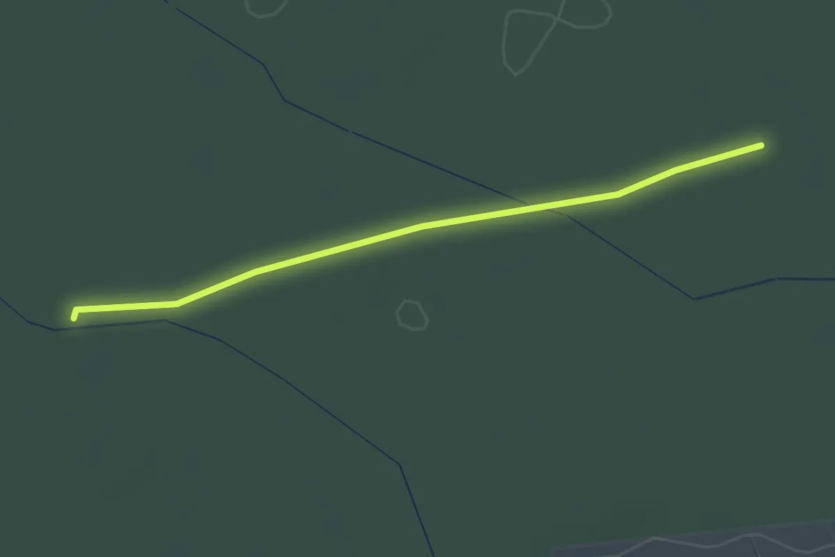
Easy · Trail
Kleiner Dreispitz - Allmend Mitte
2.2 km · ↑ 4 m · 32 min
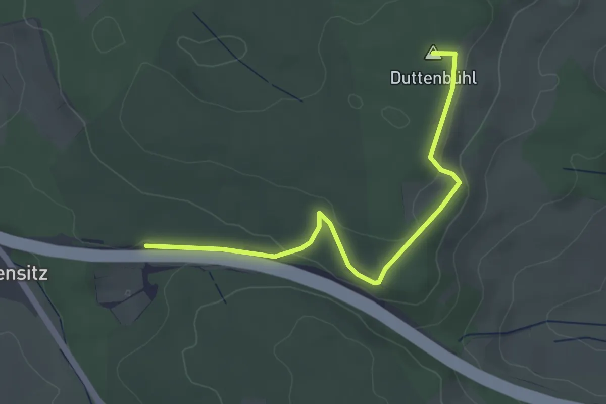
Easy · Summit
Kleine Reute - Fronhau
3.7 km · ↑ 86 m · 1 h 4 min
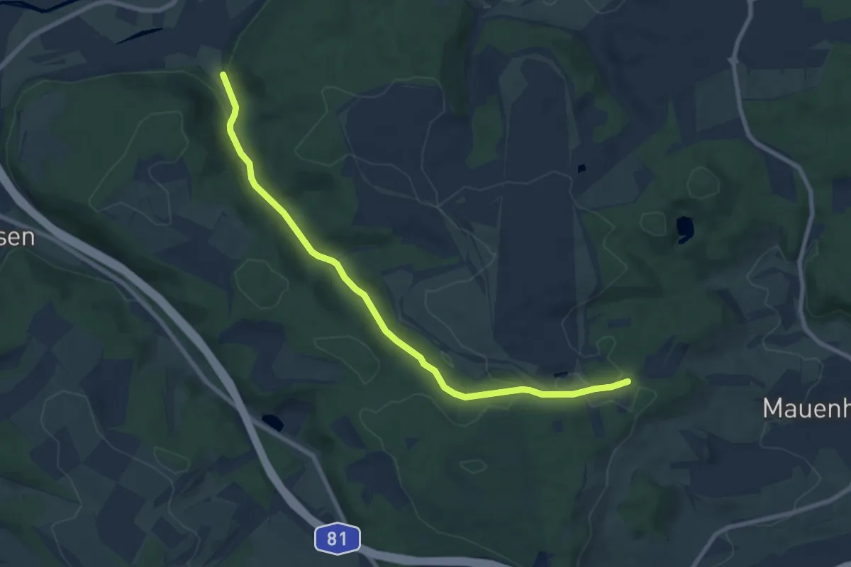
Easy · Trail
Kleine Reute - Hintschingen Schöntalweg
7.8 km · ↑ 129 m · 2 h 8 min
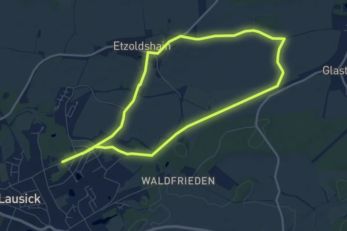
Easy · Trail
Kleiner Glastener Ringweg
6.9 km · ↑ 41 m · 1 h 49 min