Trails in Germany
36,852 hiking trails, each with its route, climb, walking time and grade.
All trails, page 336 of 768
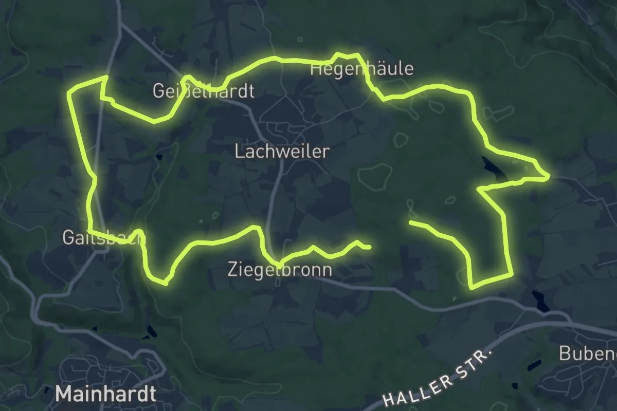
Medium · Trail
Mainhardt - Rundwanderweg 8
11.8 km · ↑ 112 m · 3 h 12 min
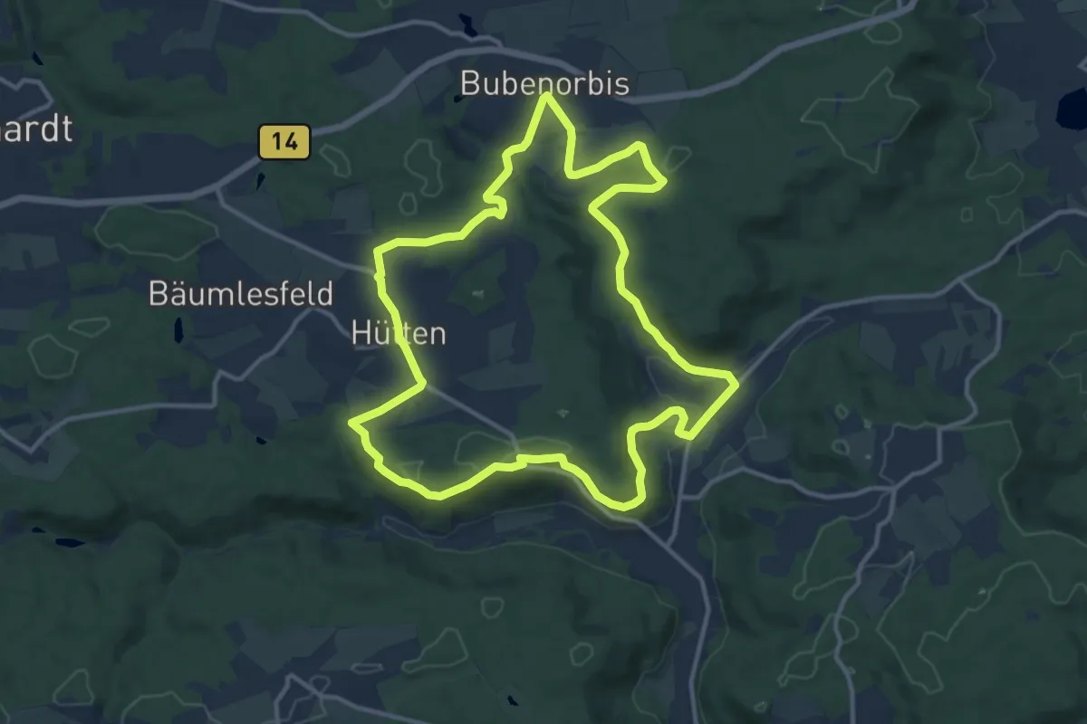
Medium · Trail
Mainhardt - Rundwanderweg 9
11.8 km · ↑ 209 m · 3 h 24 min
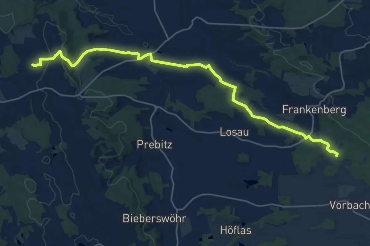
Medium · Summit
Main-Mies-Weg
16.7 km · ↑ 263 m · 4 h 31 min
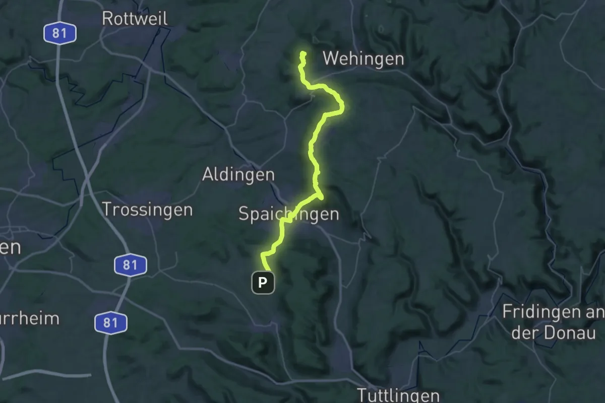
Demanding · Summit
Main-Neckar-Rhein-Weg
36.9 km · ↑ 1189 m · 11 h 17 min
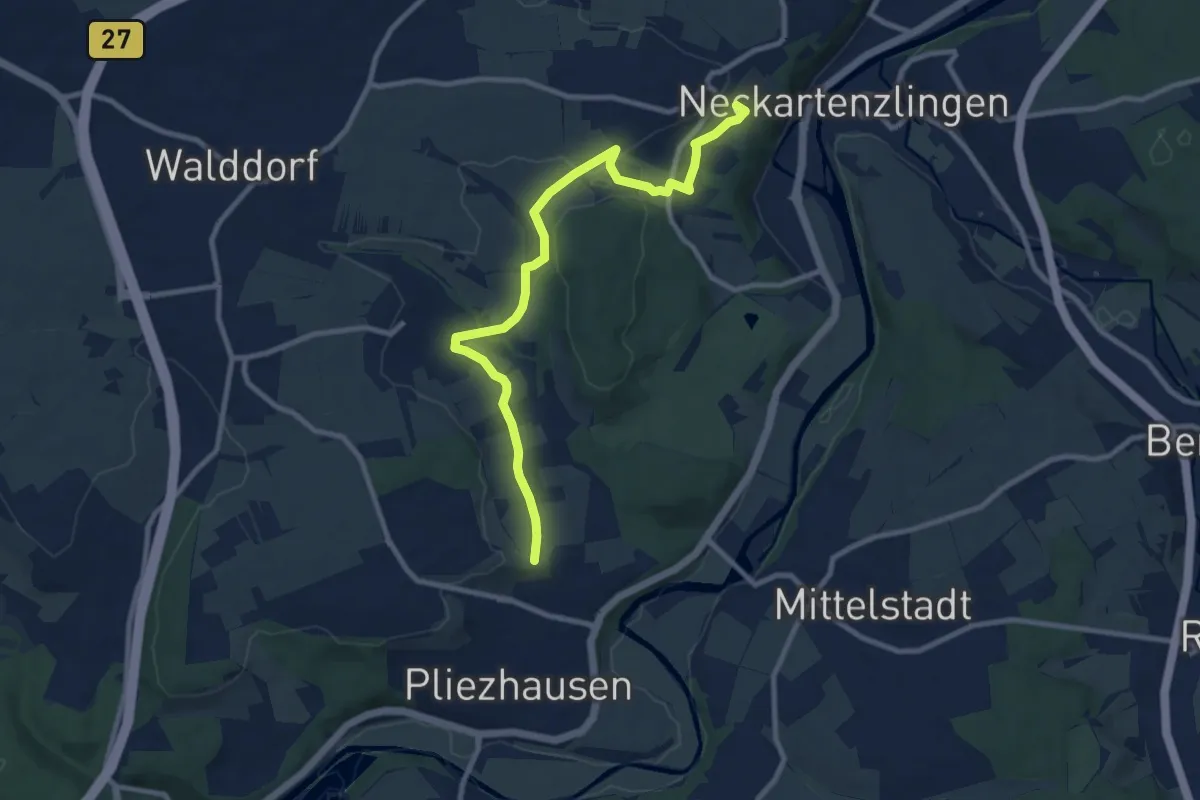
Medium · Trail
Main-Neckar-Rhein-Weg
9.7 km · ↑ 134 m · 2 h 35 min
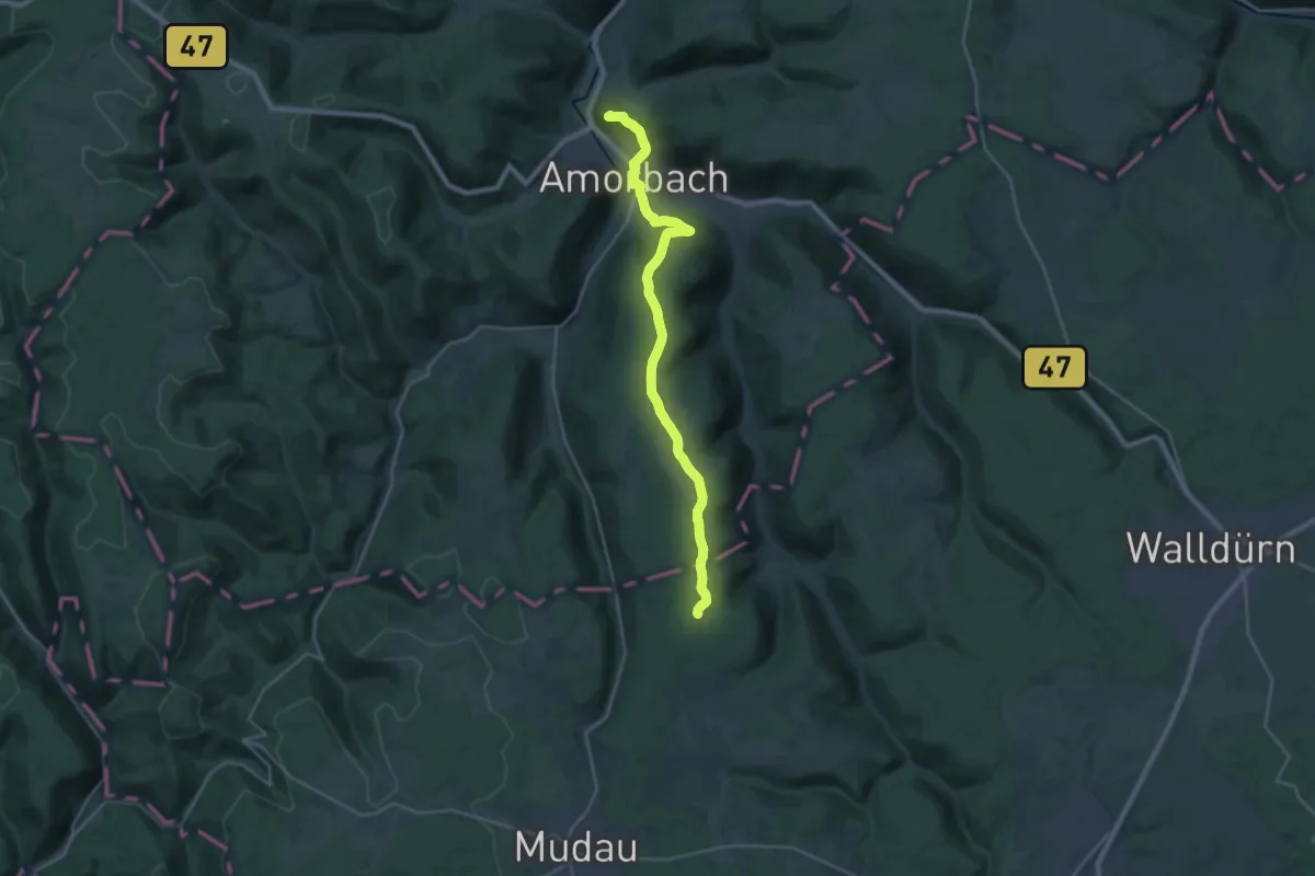
Demanding · Summit
Main-Neckar-Weg
22.9 km · ↑ 600 m · 6 h 43 min
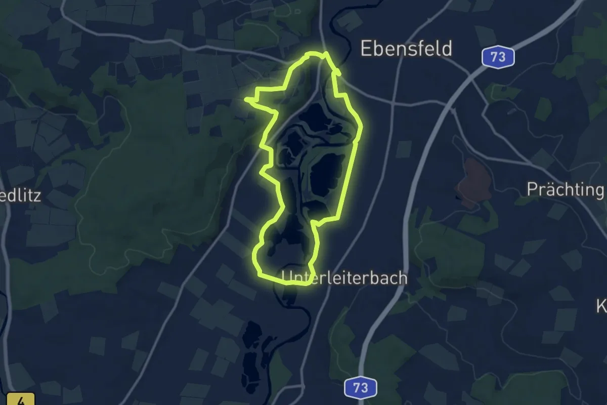
Medium · Trail
Mainseeweg
9.4 km · ↑ 79 m · 2 h 31 min
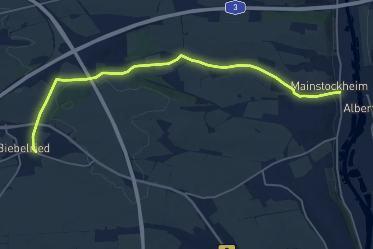
Medium · Trail
Mainstockheim - Biebelried
12.4 km · ↑ 135 m · 3 h 13 min
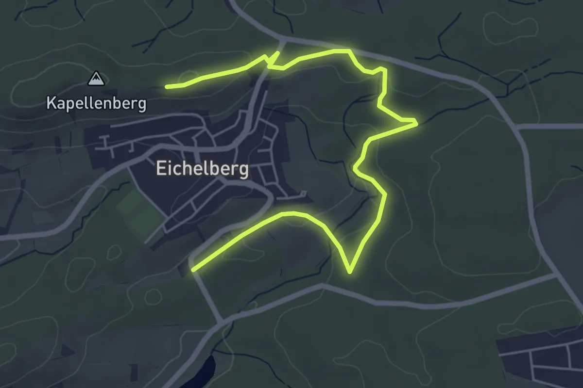
Easy · Trail
Main-Stromberg-Weg (Teilstrecke Neckarsteinach - Sternenfels)
6.0 km · ↑ 94 m · 1 h 37 min
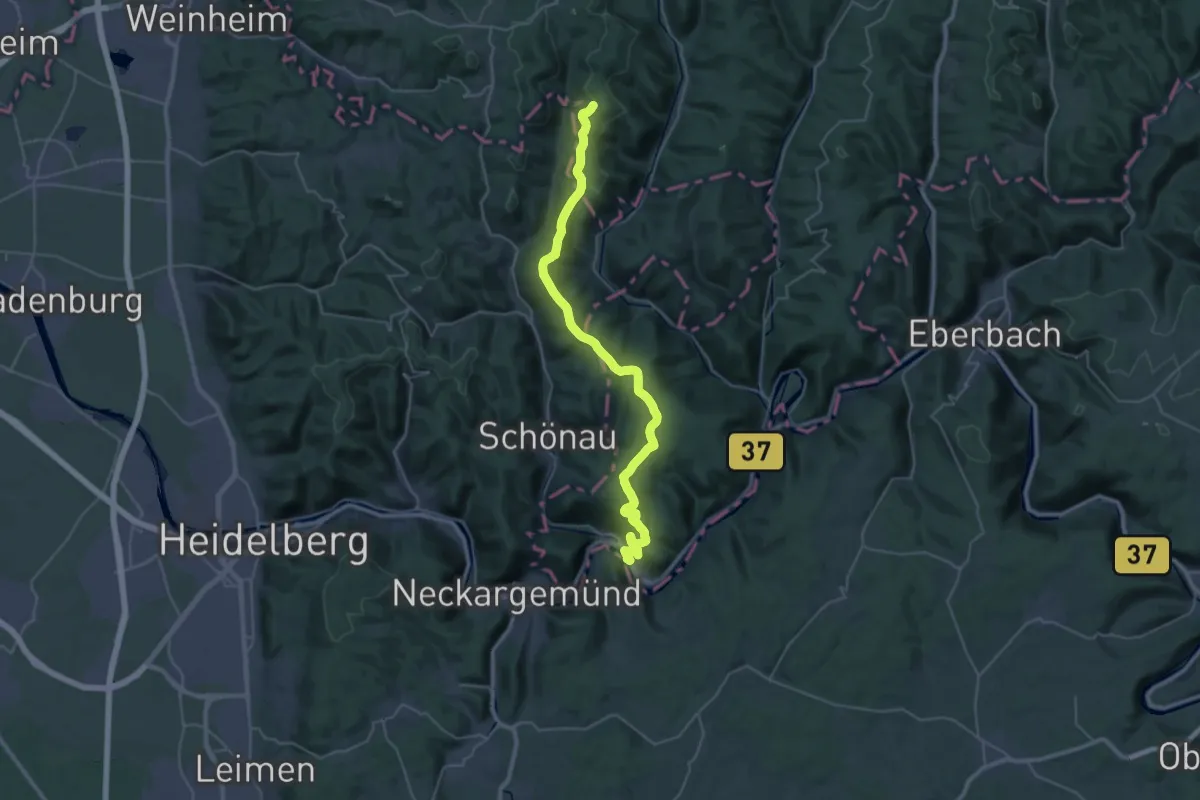
Demanding · Trail
Main-Stromberg-Weg (Teilstrecke Ober-Ramstadt - Neckarsteinach)
18.3 km · ↑ 233 m · 5 h 16 min
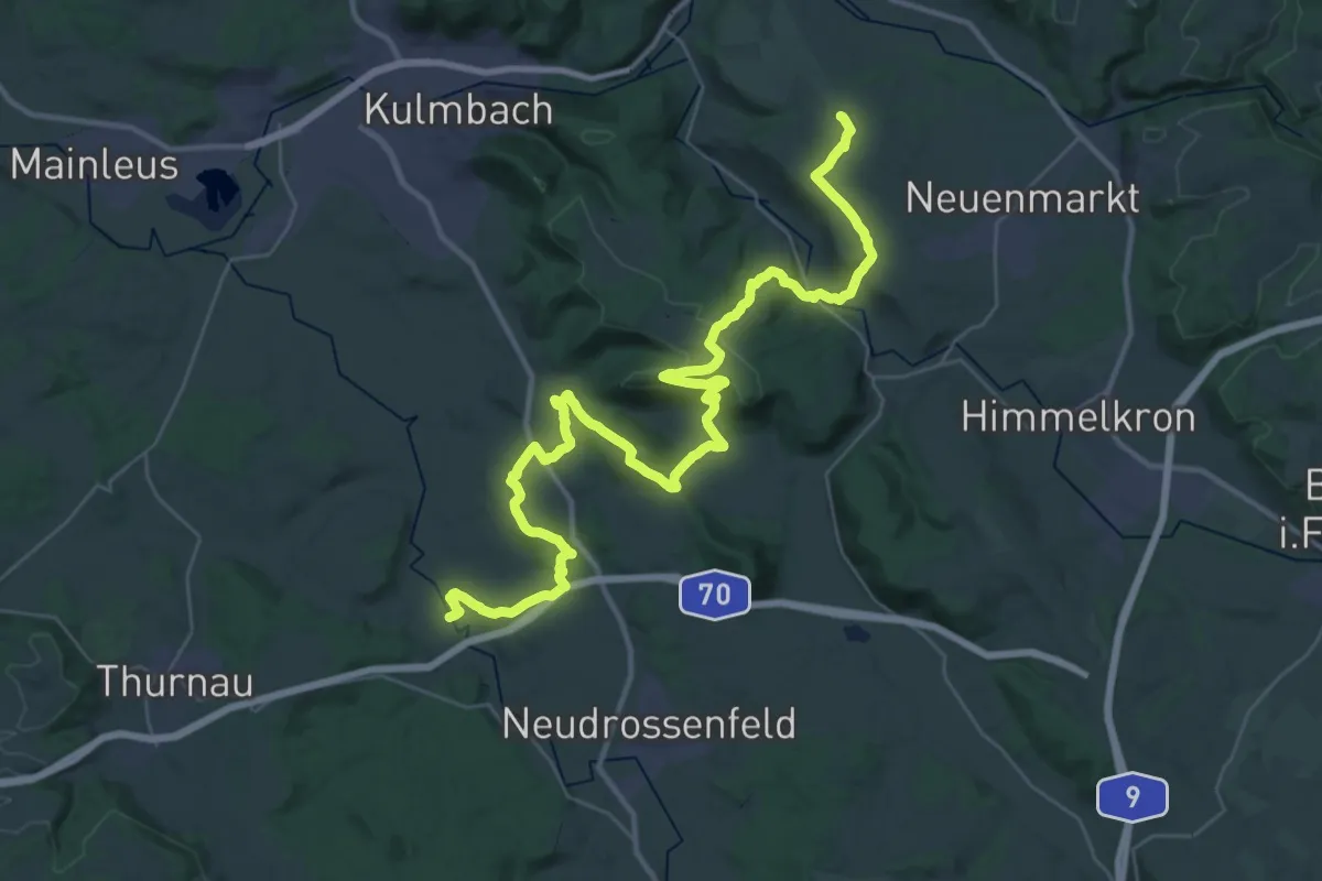
Demanding · Trail
Maintäler-Verbindungsweg
22.0 km · ↑ 561 m · 6 h 40 min
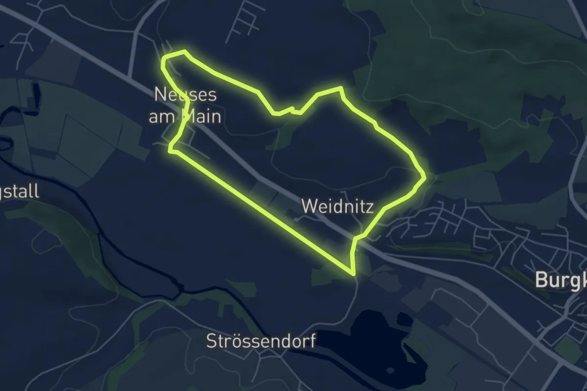
Easy · Trail
Maintal-Höhenweg
5.0 km · ↑ 60 m · 1 h 23 min
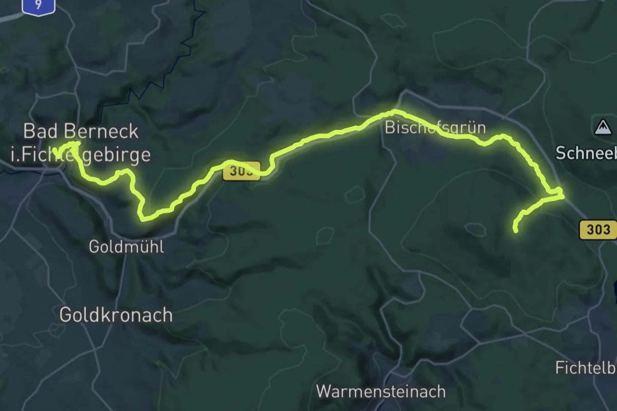
Demanding · Summit
Mainweg Teil 1
38.1 km · ↑ 973 m · 11 h 6 min
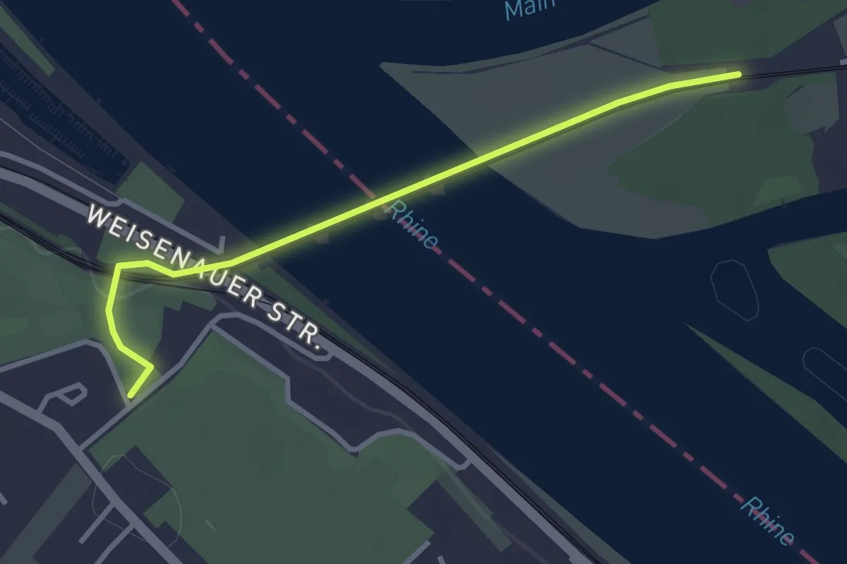
Easy · Trail
Mainweg Teil 10
2.8 km · ↑ 26 m · 42 min
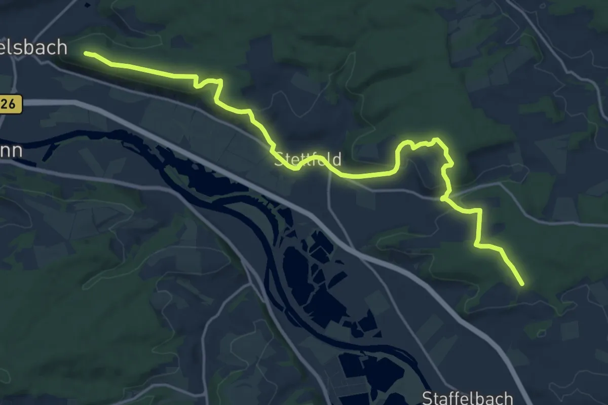
Medium · Summit
Mainweg Teil 4
17.3 km · ↑ 444 m · 5 h 2 min
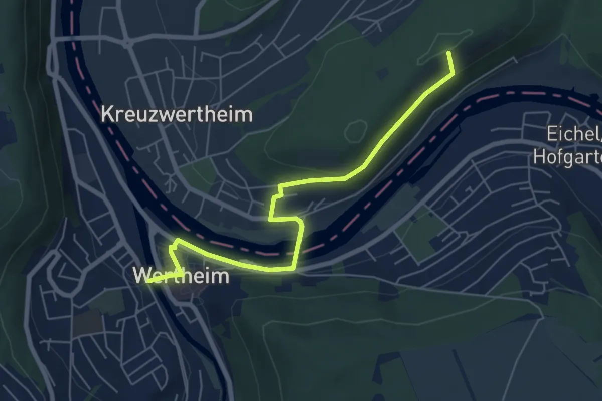
Easy · Summit
Mainweg Teil 7
5.3 km · ↑ 138 m · 1 h 33 min
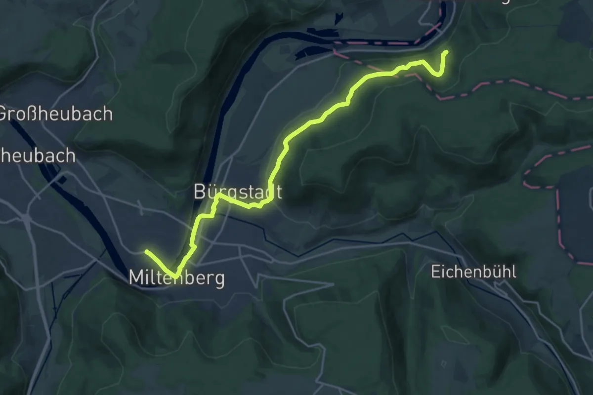
Medium · Trail
Mainweg Teil 8
17.6 km · ↑ 418 m · 5 h 4 min
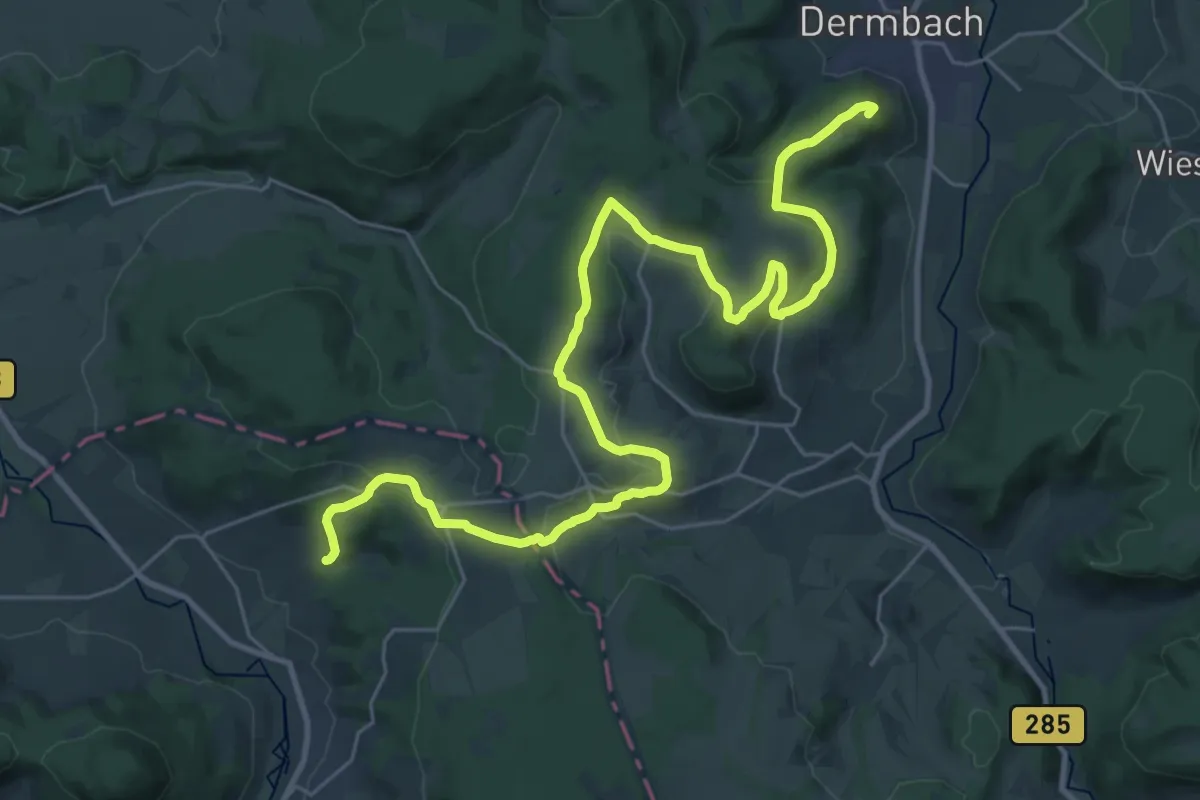
Demanding · Summit
Main-Werra-Weg HSN
33.8 km · ↑ 743 m · 9 h 35 min
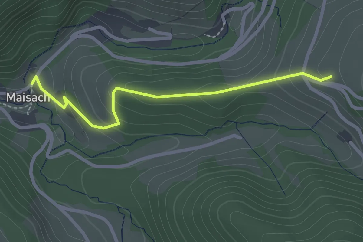
Easy · Trail
Maisach Schule - Wilfeneck
2.0 km · ↑ 109 m · 43 min
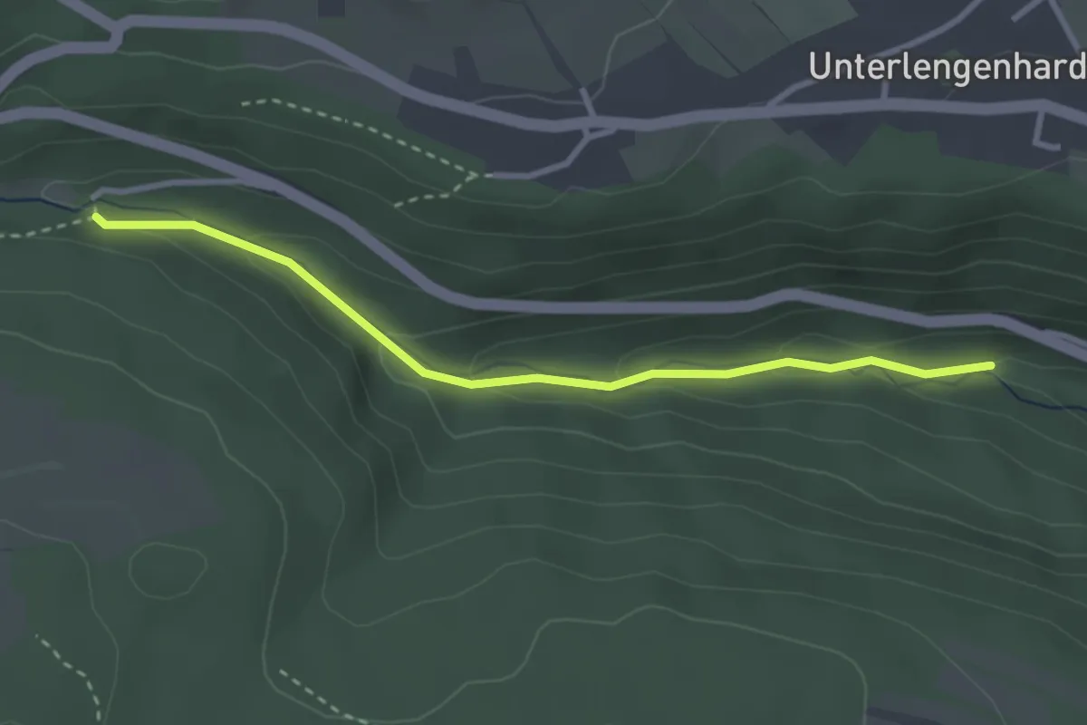
Easy · Trail
Maisenbacher Sägmühle - Lengenbachtal Gansweg
2.9 km · ↑ 106 m · 55 min
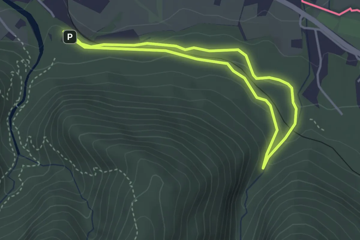
Easy · Trail
Maisrundweg
2.9 km · ↑ 74 m · 54 min
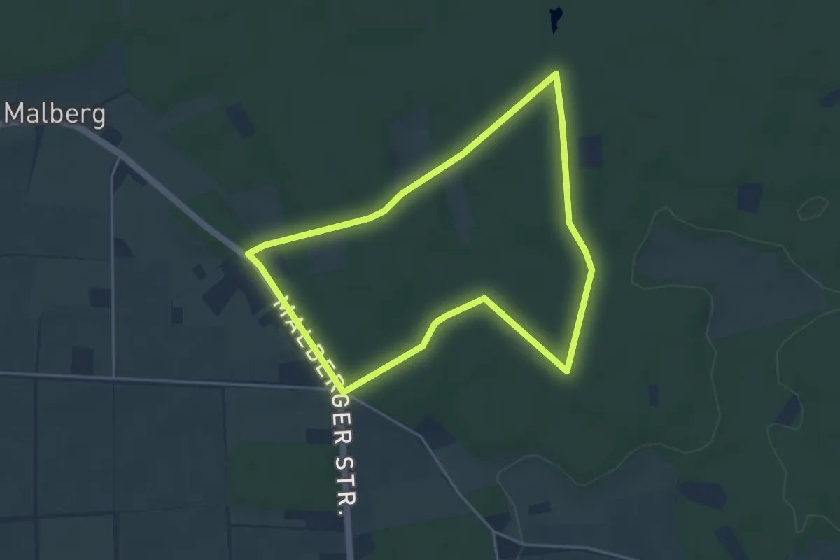
Easy · Trail
Malberg Rundweg A4
3.6 km · ↑ 14 m · 55 min
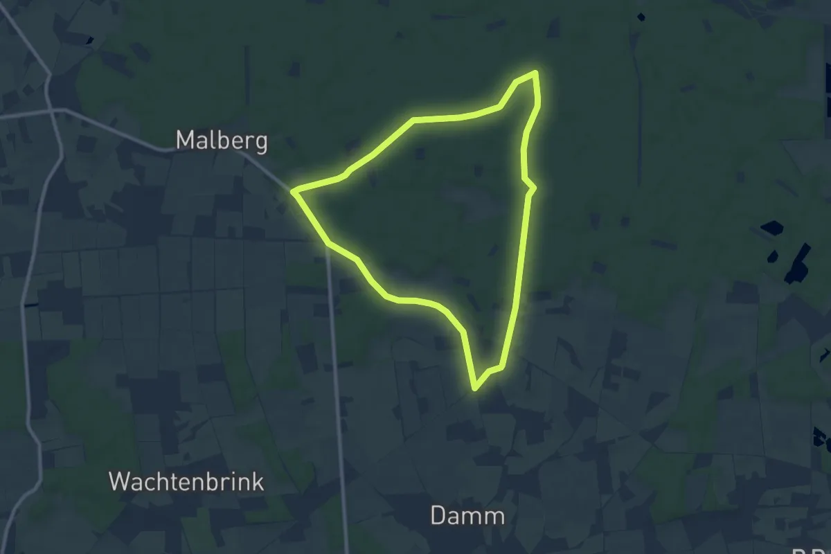
Easy · Trail
Malberg Rundweg A5
7.8 km · ↑ 28 m · 2 h
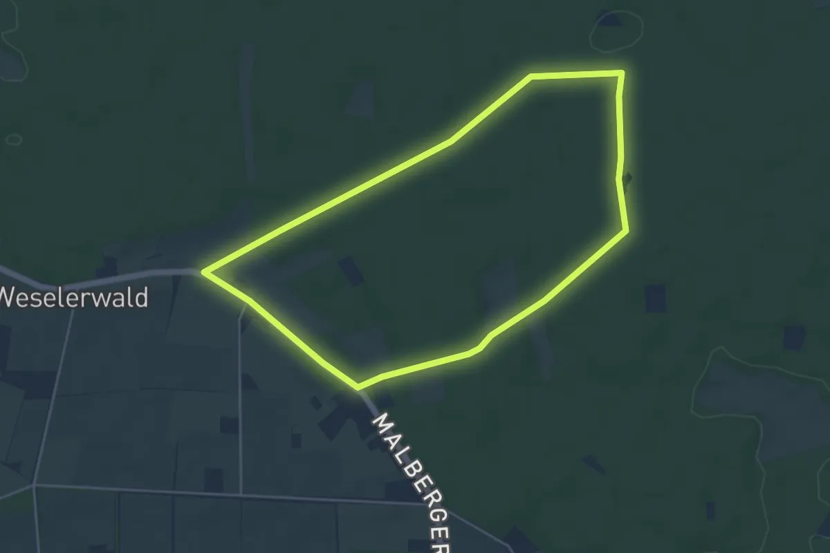
Easy · Trail
Malberg Rundweg A6
4.2 km · ↑ 14 m · 1 h 4 min
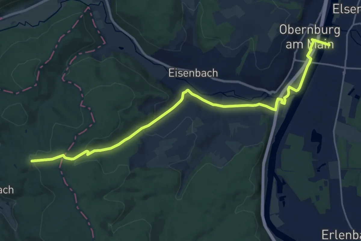
Medium · Trail
Malchen–Obernburg
16.5 km · ↑ 236 m · 4 h 24 min
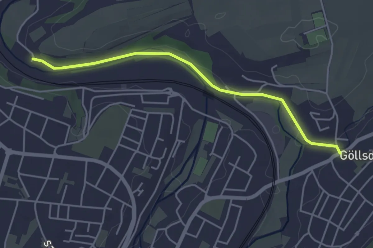
Easy · Trail
Malerisches Rottweil
3.8 km · ↑ 27 m · 57 min
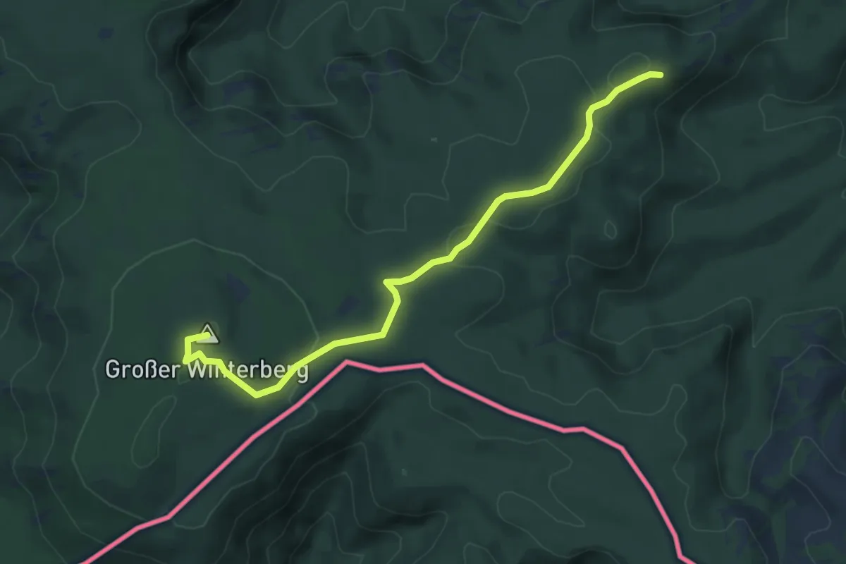
Medium · Summit
Malerweg
5.6 km · ↑ 157 m · 1 h 40 min
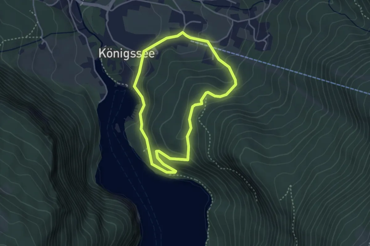
Easy · Trail
Malerwinkelrundweg
3.1 km · ↑ 153 m · 1 h 6 min
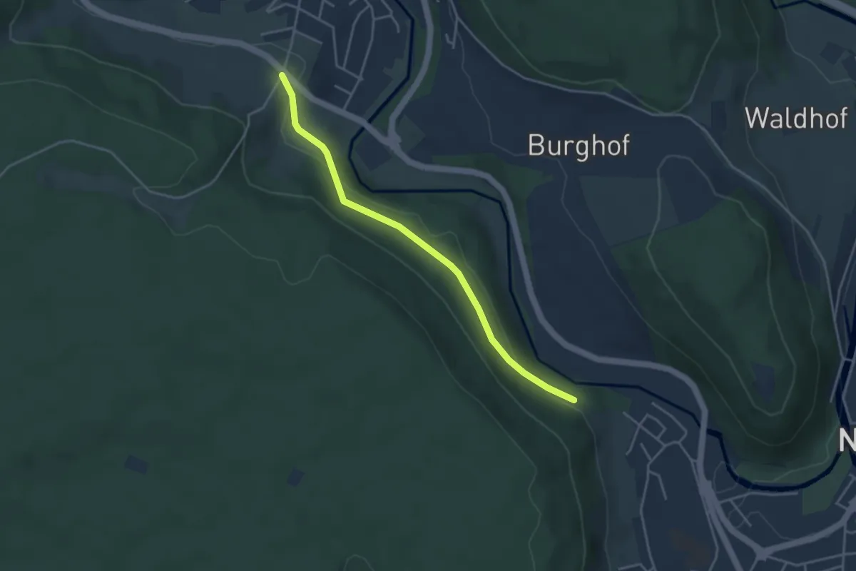
Easy · Trail
Malmentunnel - Ehemalige Seilerei
3.5 km · ↑ 104 m · 1 h 4 min
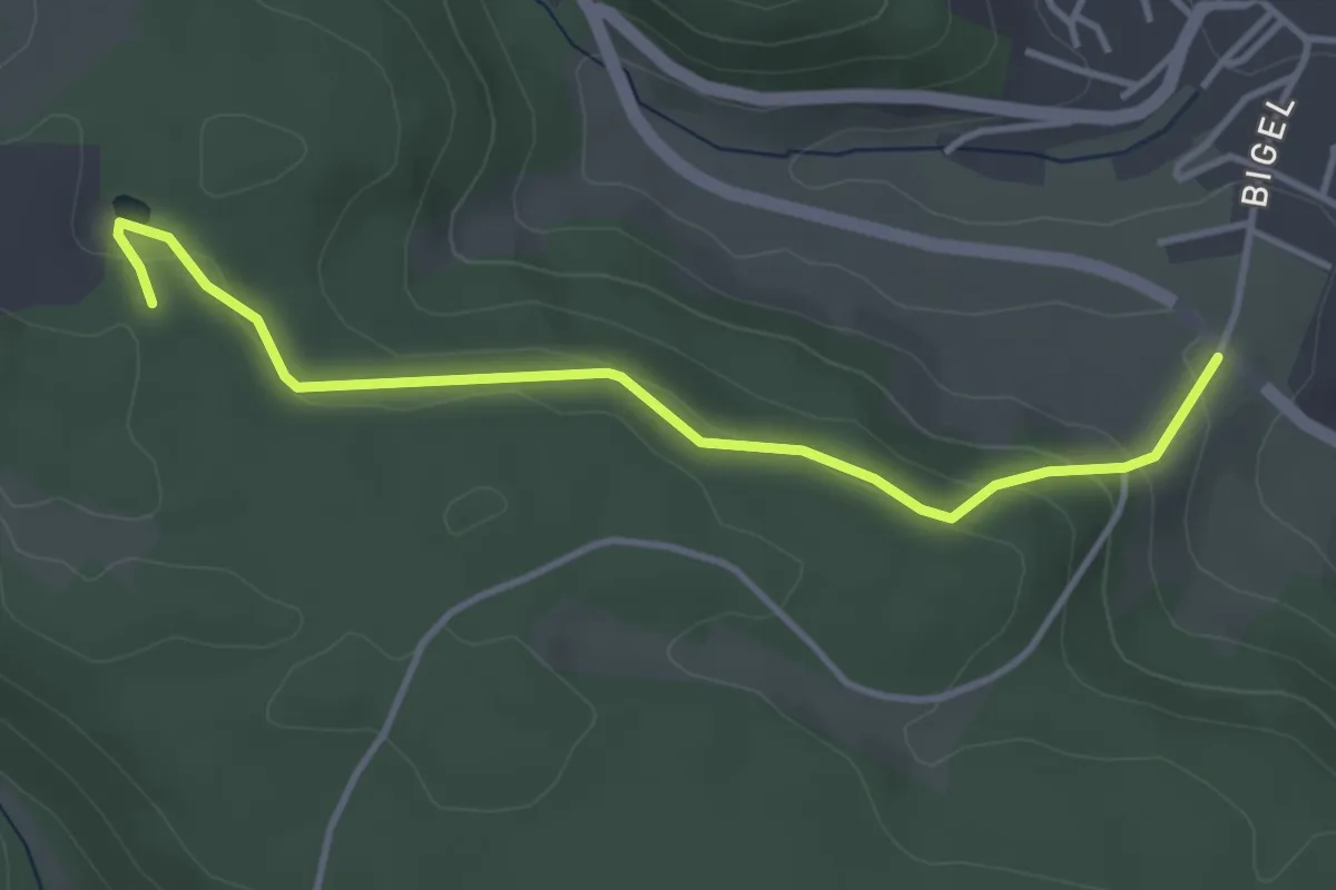
Easy · Trail
Malmentunnel - Mülldeponie
3.8 km · ↑ 130 m · 1 h 10 min
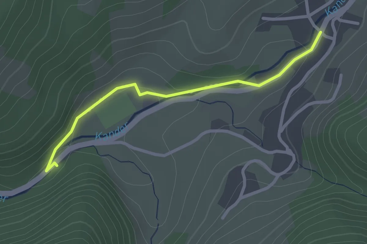
Easy · Trail
Malsburger Brücke - Malsburg
2.1 km · ↑ 33 m · 34 min
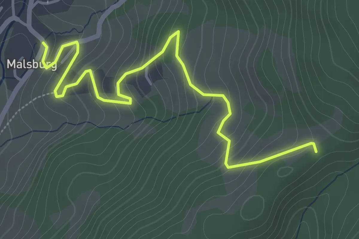
Easy · Trail
Malsburg Rathaus - Stelli
4.1 km · ↑ 243 m · 1 h 30 min
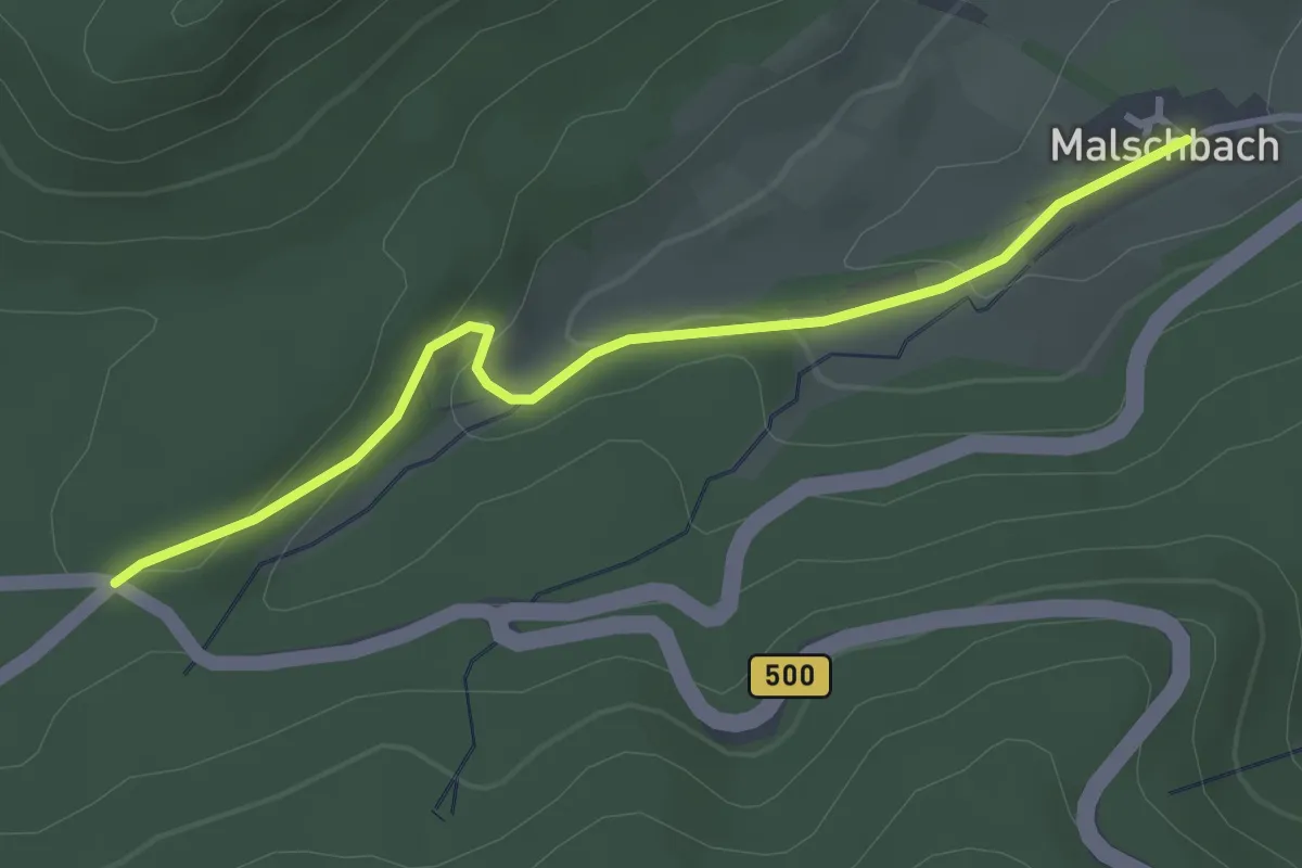
Easy · Trail
Malschbach - Zimmerplatz
3.1 km · ↑ 92 m · 55 min
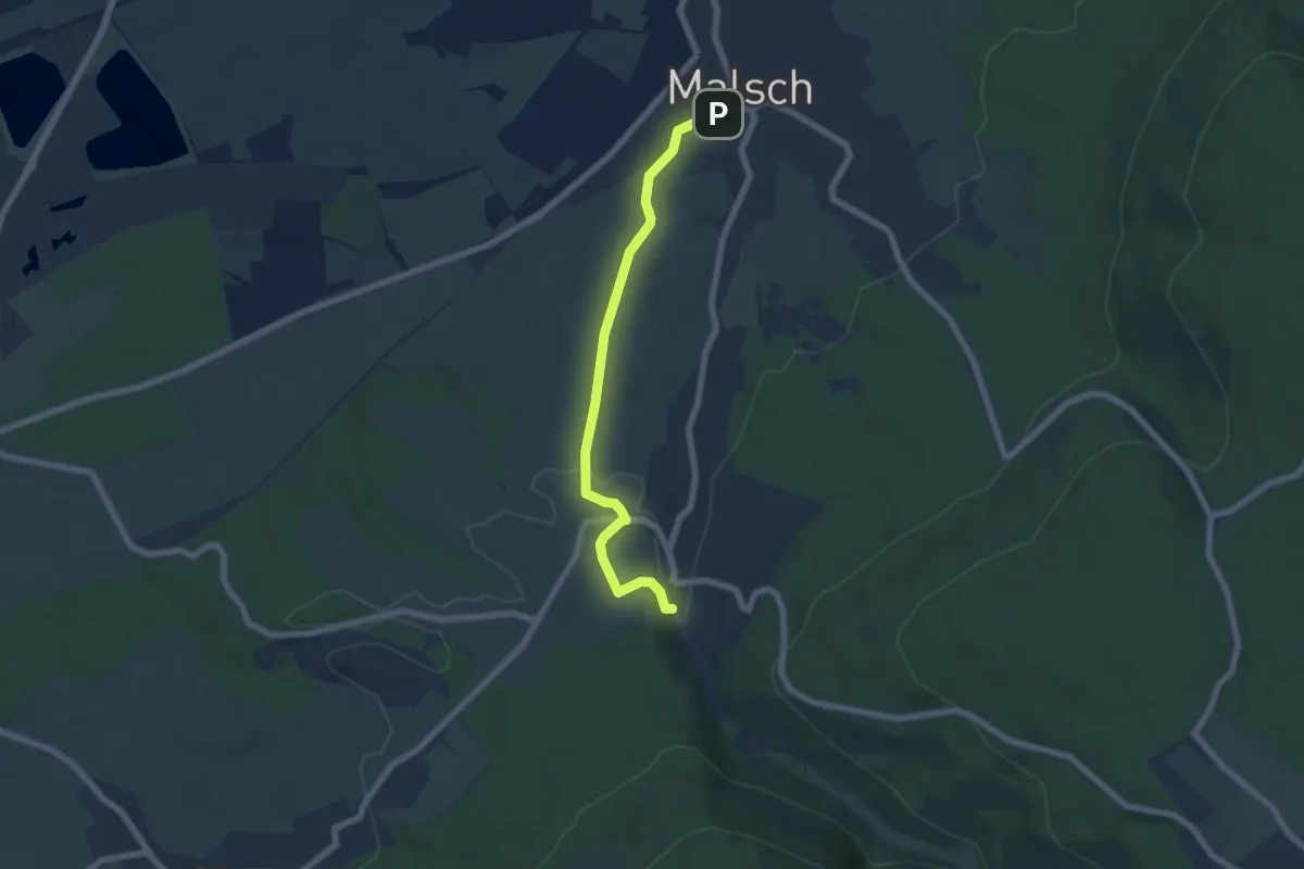
Easy · Trail
Malsch Friedhofstraße - Waldprechtsweier Ortsmitte
5.9 km · ↑ 98 m · 1 h 36 min
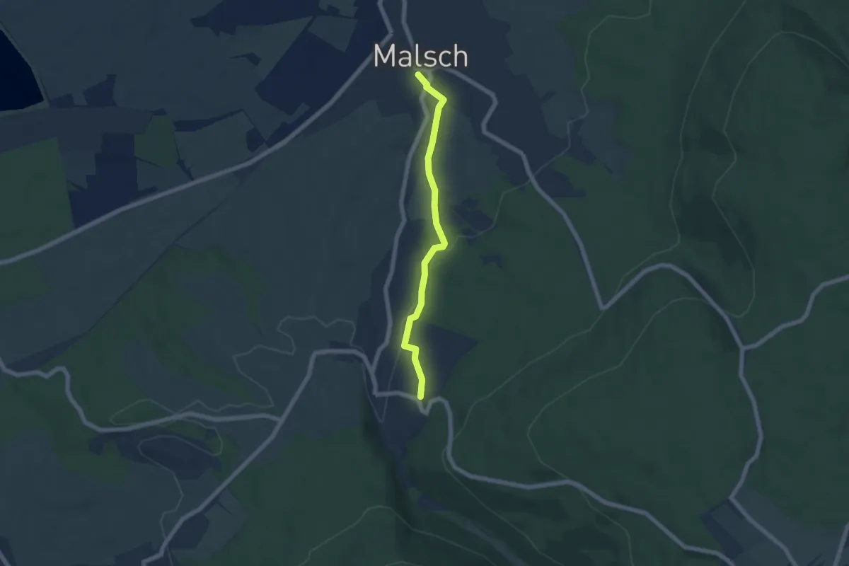
Easy · Trail
Malsch H.-Götz-Straße - Waldprechtsweier Neufeld
4.9 km · ↑ 105 m · 1 h 23 min
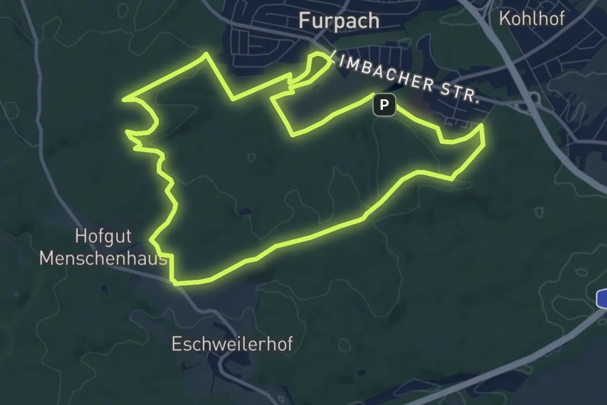
Medium · Summit
Maltitzweg
9.9 km · ↑ 138 m · 2 h 46 min
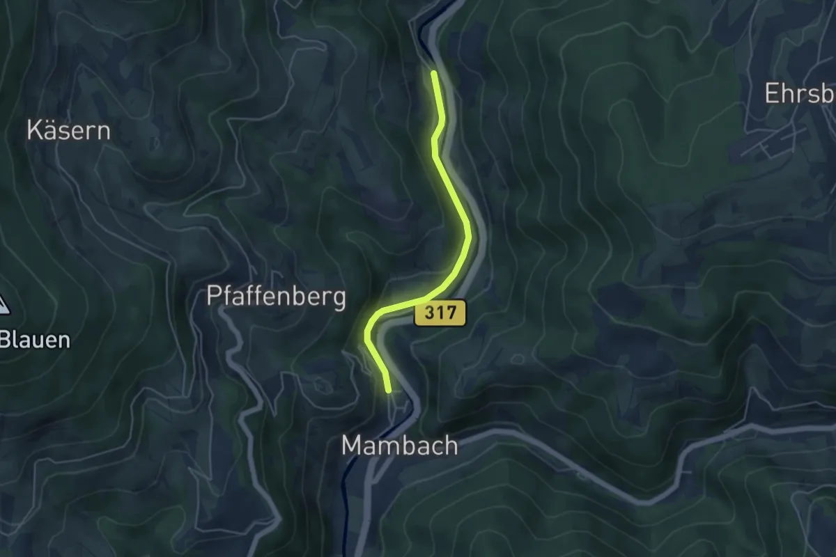
Easy · Trail
Mambach Au - Silbersau
3.8 km · ↑ 116 m · 1 h 9 min
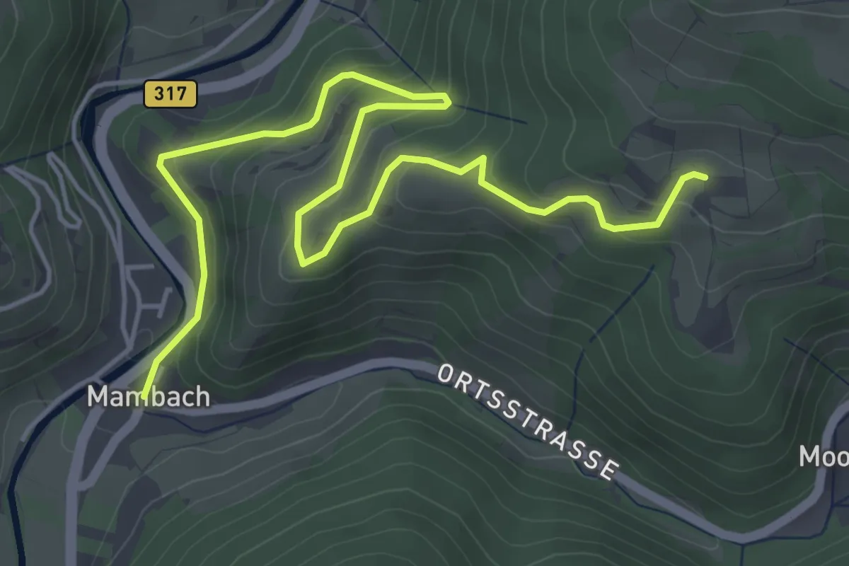
Medium · Trail
Mambach Dorfplatz - Schweine
5.8 km · ↑ 404 m · 2 h 15 min
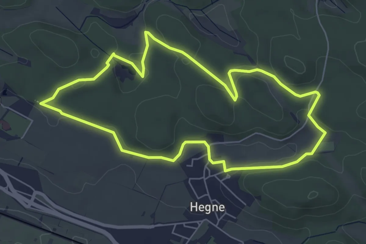
Easy · Summit
Mammut-Runde, Allensbacher Naturkino
5.3 km · ↑ 101 m · 1 h 33 min
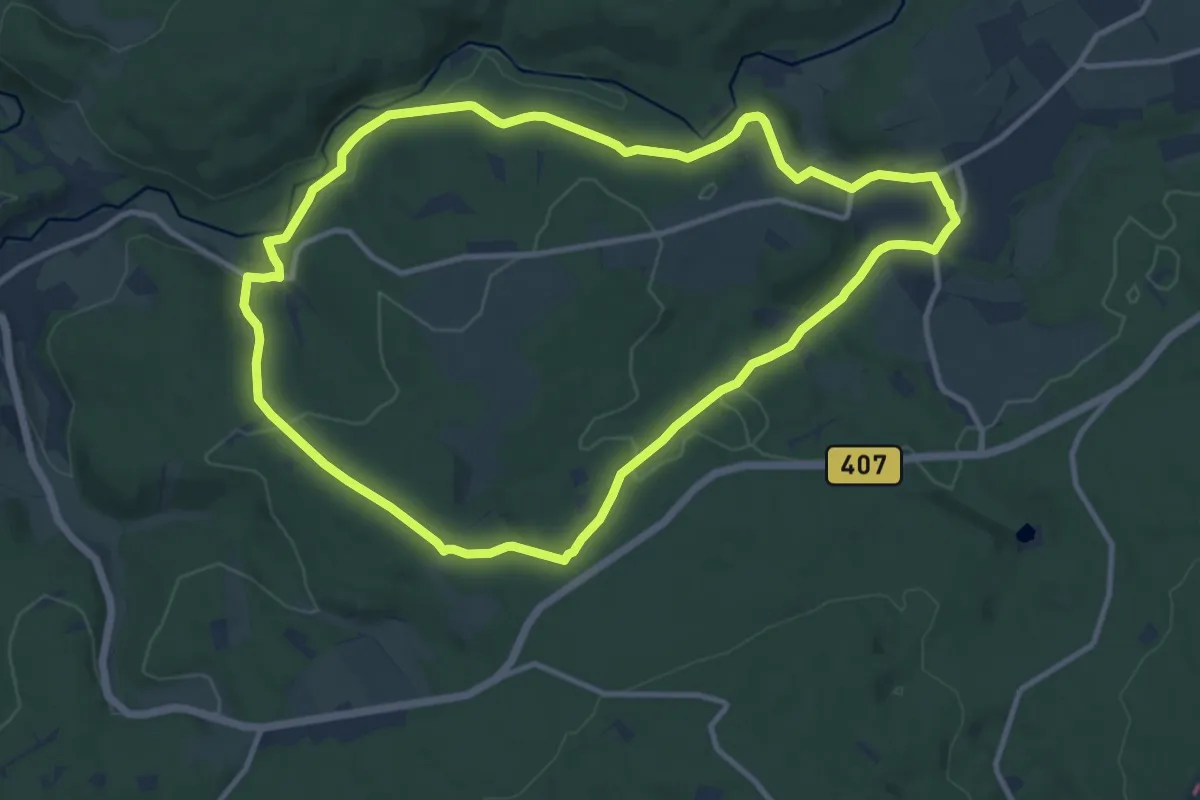
Medium · Trail
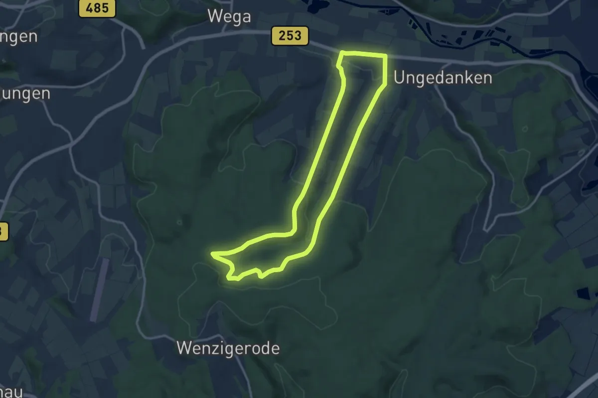
Mandern 1
10.7 km · ↑ 254 m · 3 h 13 min
Medium · Trail
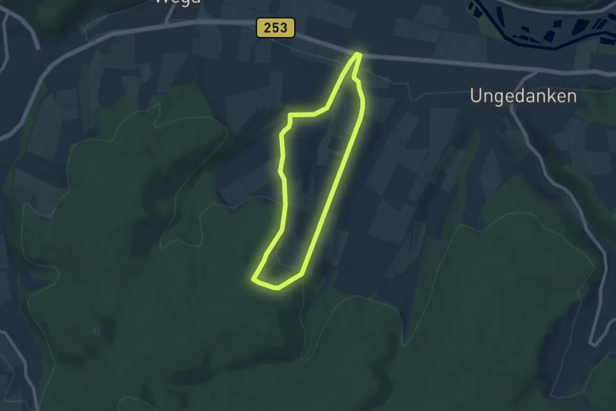
Mandern - M1
9.8 km · ↑ 203 m · 2 h 53 min
Easy · Trail
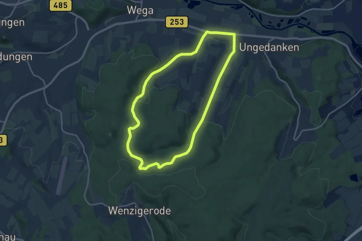
Mandern - M2
5.2 km · ↑ 142 m · 1 h 36 min
Medium · Trail
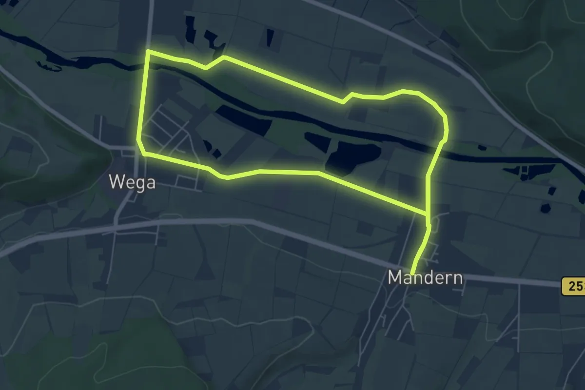
Mandern - M3
9.9 km · ↑ 217 m · 2 h 56 min
Easy · Trail
Mandern - M4
5.9 km · ↑ 18 m · 1 h 30 min
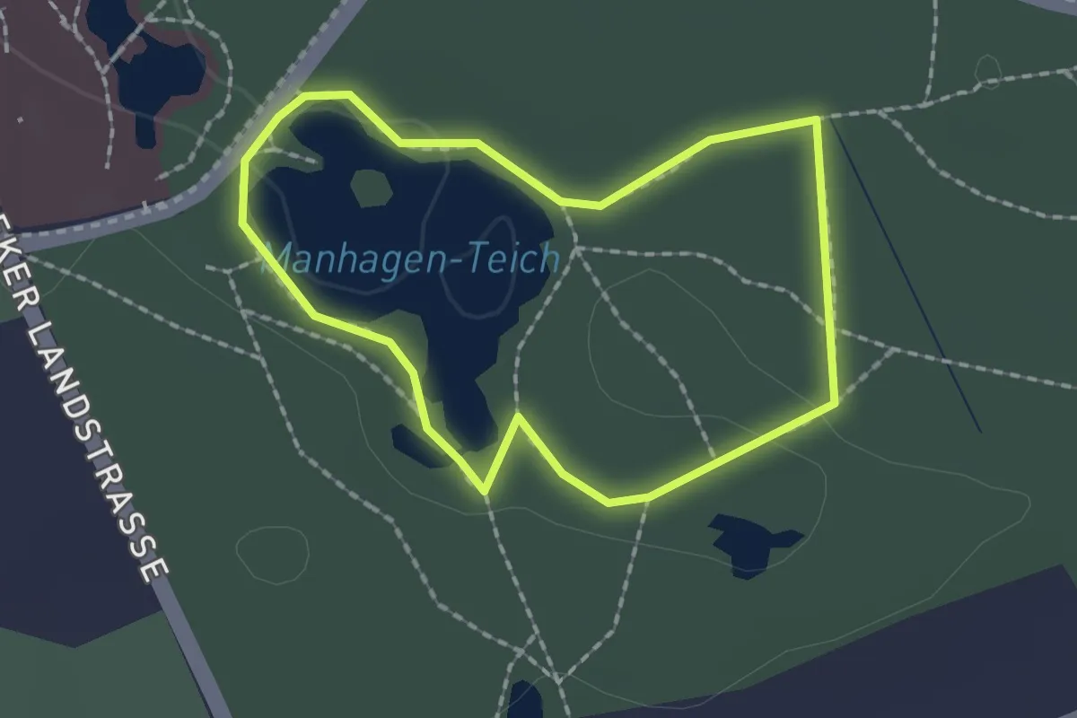
Easy · Trail
Manhagener Teich
1.4 km · ↑ 4 m · 22 min
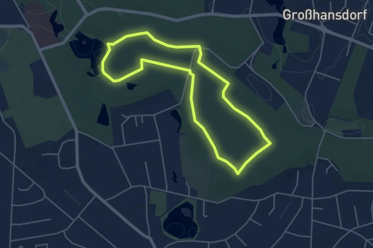
Easy · Trail
Manhagen/Rauhe Berge
3.3 km · ↑ 20 m · 52 min
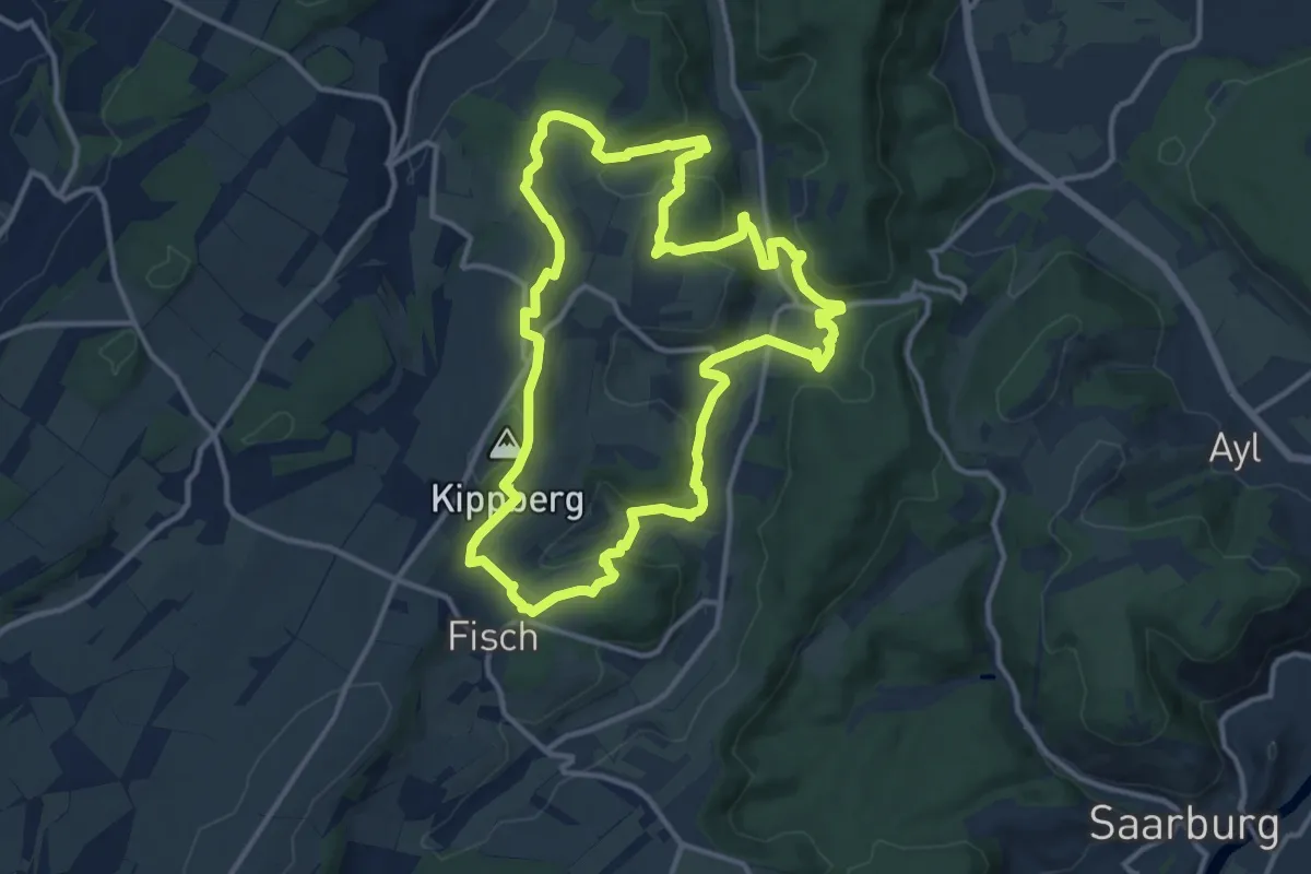
Medium · Summit
Mannebach 111
11.9 km · ↑ 349 m · 3 h 44 min
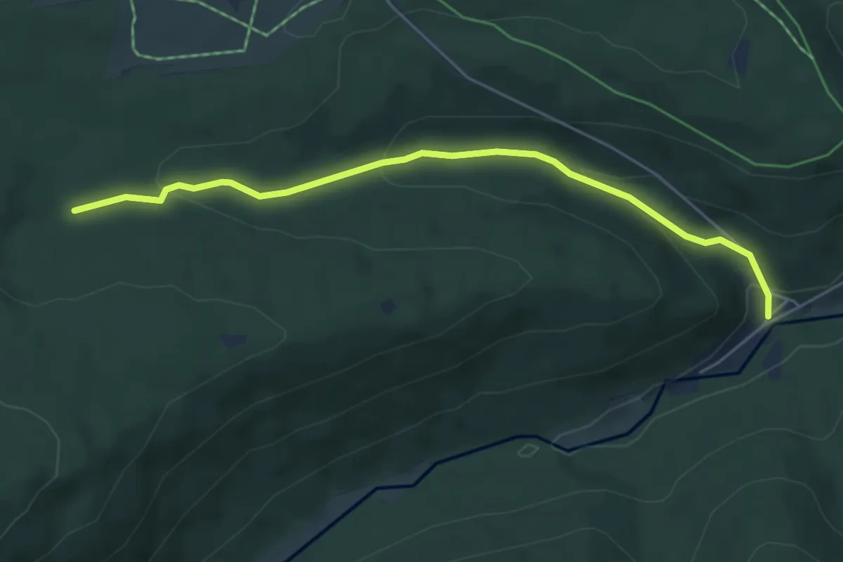
Easy · Trail
Mannenbachquelle - Eyachmühle
4.9 km · ↑ 172 m · 1 h 32 min