Trails in Germany
36,824 hiking trails, each with its route, climb, walking time and grade.
All trails, page 34 of 768
Easy · Trail
Atrium Rundweg A4
5.9 km · ↑ 118 m · 1 h 38 min
Easy · Trail
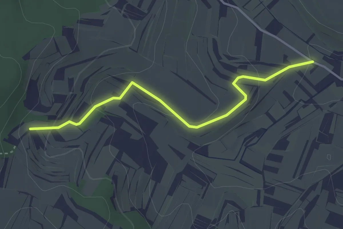
Atrium - Rusental
3.1 km · ↑ 104 m · 58 min
Easy · Trail
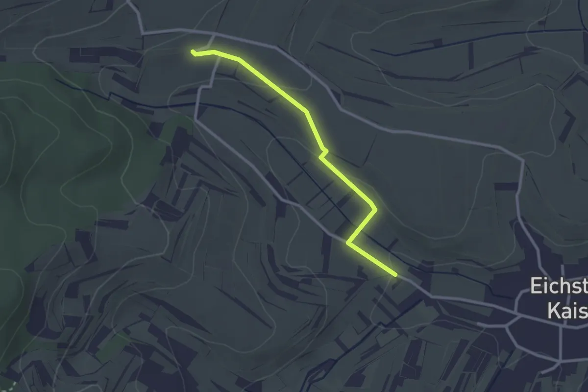
Atrium - Überm Pfaffental
2.4 km · ↑ 52 m · 41 min
Easy · Trail
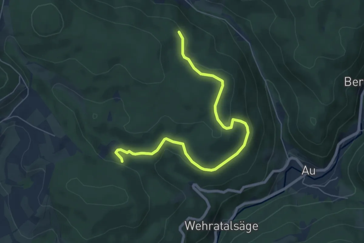
Atschel - Fetzenberg
6.3 km · ↑ 170 m · 1 h 51 min
Easy · Trail
Attendorner Milchweg
4.6 km · ↑ 74 m · 1 h 18 min
Easy · Trail
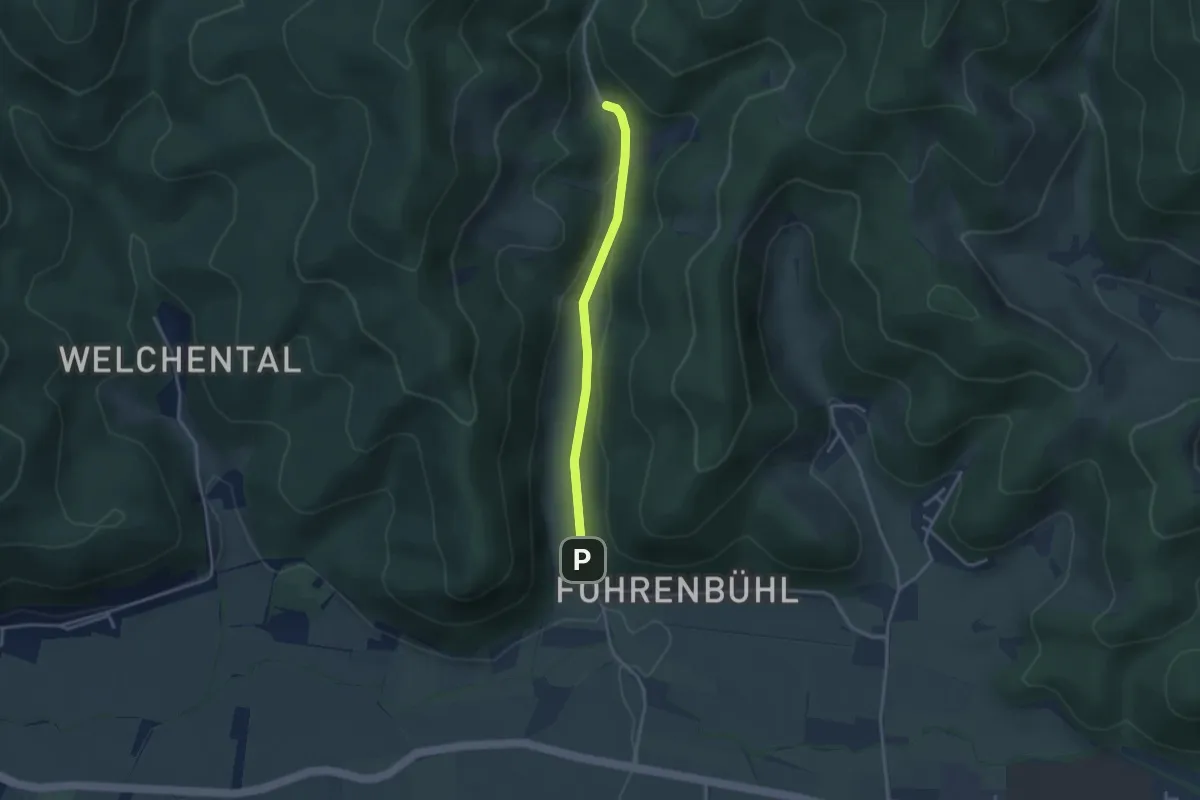
Attental Albrechtenhof - Attental Kreuzmatte
2.9 km · ↑ 57 m · 49 min
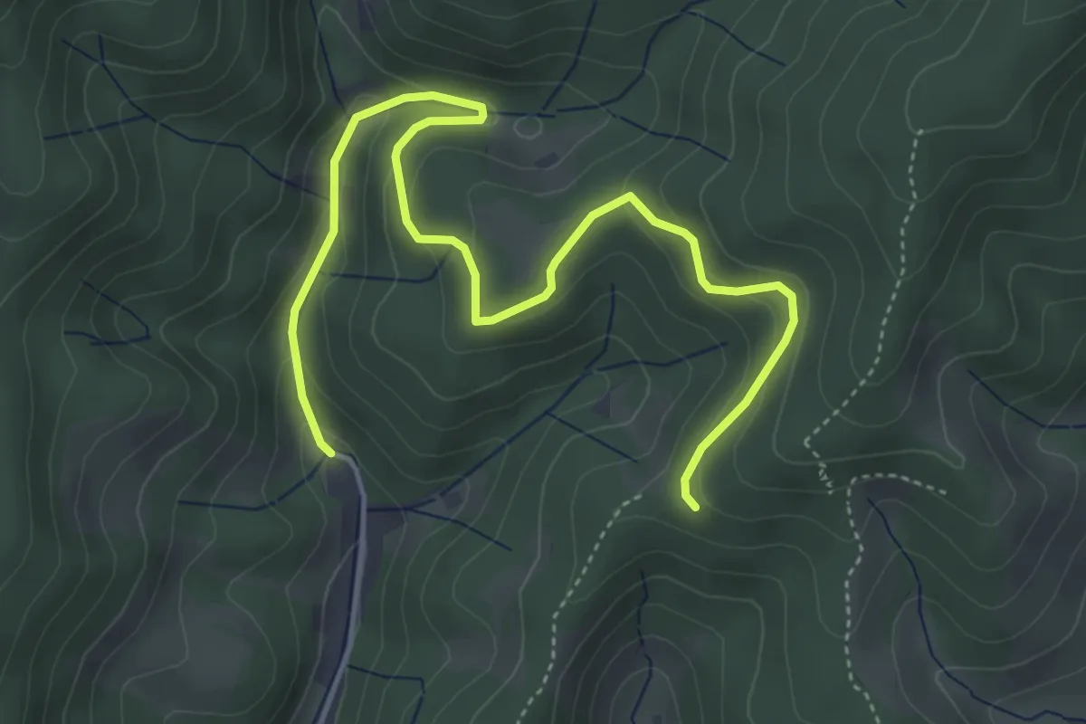
Easy · Trail
Attental Albrechtenhof - Schlangenkapelle
5.4 km · ↑ 252 m · 1 h 50 min
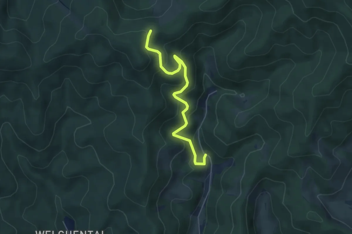
Medium · Trail
Attental Albrechtenhof - Streckereck
4.9 km · ↑ 329 m · 1 h 53 min
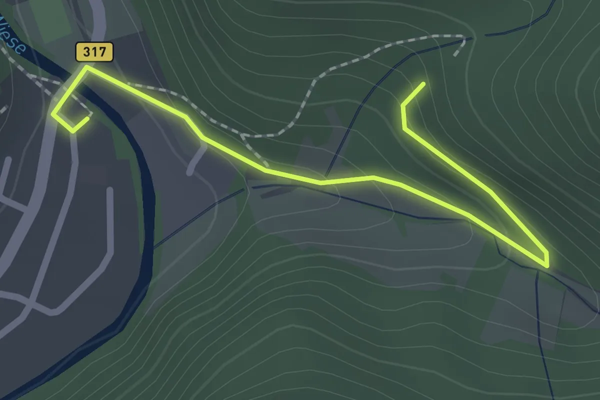
Easy · Trail
Atzenbach Halle - Dinkelsgraben
2.2 km · ↑ 81 m · 41 min
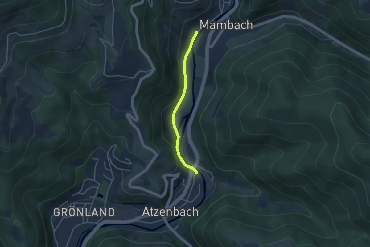
Easy · Trail
Atzenbach Halle - Mambach beim Friedhof
2.6 km · ↑ 103 m · 50 min
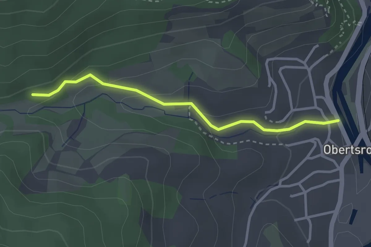
Easy · Trail
Ätzenbachtal - Obertsroter Straße
2.4 km · ↑ 126 m · 51 min
Easy · Trail
AU1 Weg der Selbstzuwendung
4.0 km · ↑ 51 m · 1 h 7 min
Easy · Trail
AU2 Rundwanderweg Auetal 2
6.8 km · ↑ 95 m · 1 h 55 min
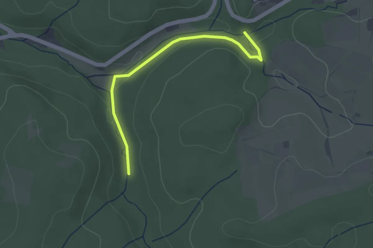
Easy · Trail
Aubach - Kähnerloch
2.8 km · ↑ 46 m · 46 min
Easy · Trail
Auberg Rundweg A9
3.1 km · ↑ 60 m · 54 min
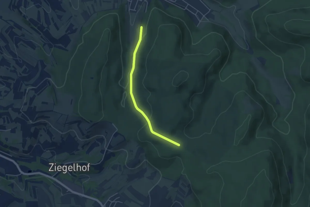
Easy · Trail
Au - Bildstöckle
3.7 km · ↑ 113 m · 1 h 7 min
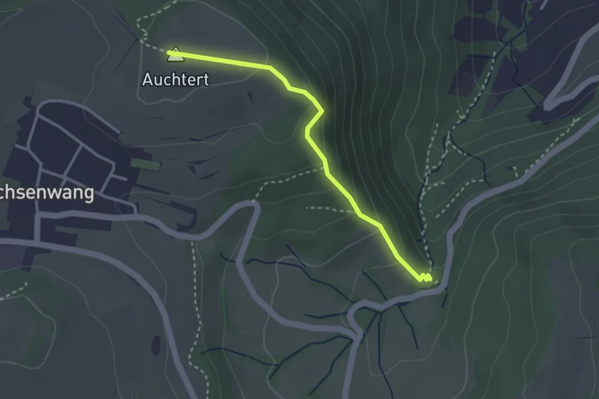
Easy · Summit
Auchtert - Mörikefels
2.7 km · ↑ 161 m · 59 min
Easy · Trail
Audioguide Tour Findlingspark Nochten
5.0 km · ↑ 18 m · 1 h 13 min
Easy · Trail
Audiowalk Detmerode
2.4 km · ↑ 0 m · 37 min
Easy · Trail
Audiowege am Rothaarsteig - Gernsdorfer Weidekämpe
3.9 km · ↑ 100 m · 1 h 12 min
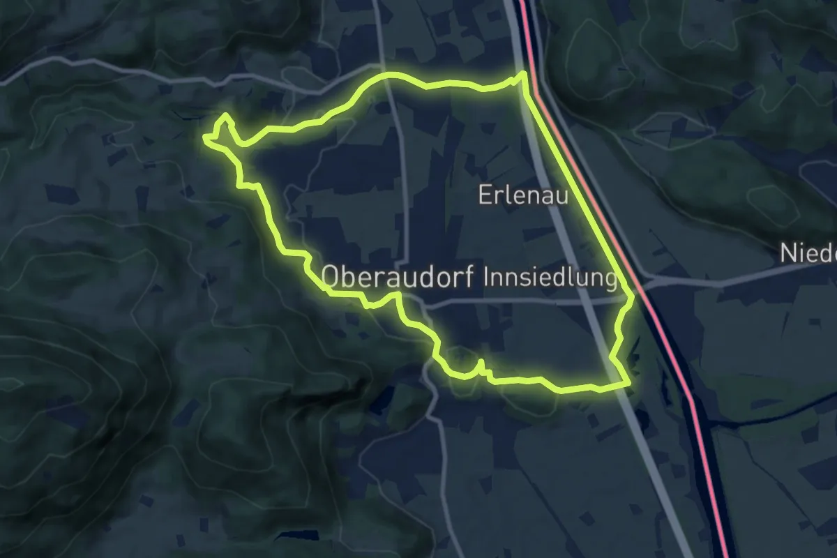
Medium · Summit
Audorfer Rundweg
9.3 km · ↑ 149 m · 2 h 39 min
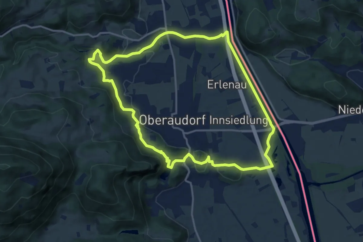
Medium · Summit
Audorfer Rundweg (Sommervariante)
9.7 km · ↑ 169 m · 2 h 47 min
Easy · Summit
Aue - Lauter via Lumpicht
3.2 km · ↑ 135 m · 1 h 3 min
Easy · Trail
Auen 3
4.3 km · ↑ 158 m · 1 h 21 min
Demanding · Trail
Auenbachtalweg (Colditz) – Geringswalde – Waldheim
18.5 km · ↑ 151 m · 4 h 42 min
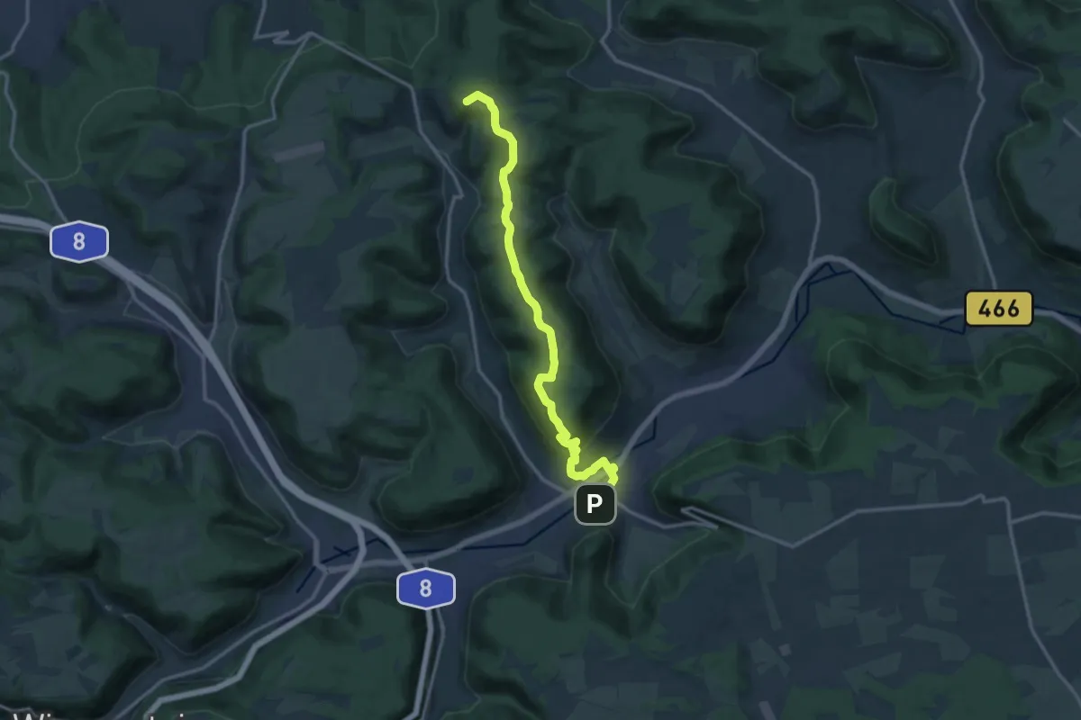
Medium · Summit
Auendorf - Bad Ditzenbach - Hiltenburg
13.9 km · ↑ 457 m · 4 h 17 min
Easy · Trail
Auenlandweg
3.0 km · ↑ 109 m · 59 min
Easy · Trail
Auenpfad Alt Dettenheim
2.1 km · ↑ 4 m · 32 min
Easy · Trail
Auenpfad - Rundweg Schlossblicke
4.3 km · ↑ 84 m · 1 h 12 min
Easy · Summit
Auenthal-Weg US 63
6.4 km · ↑ 136 m · 1 h 53 min
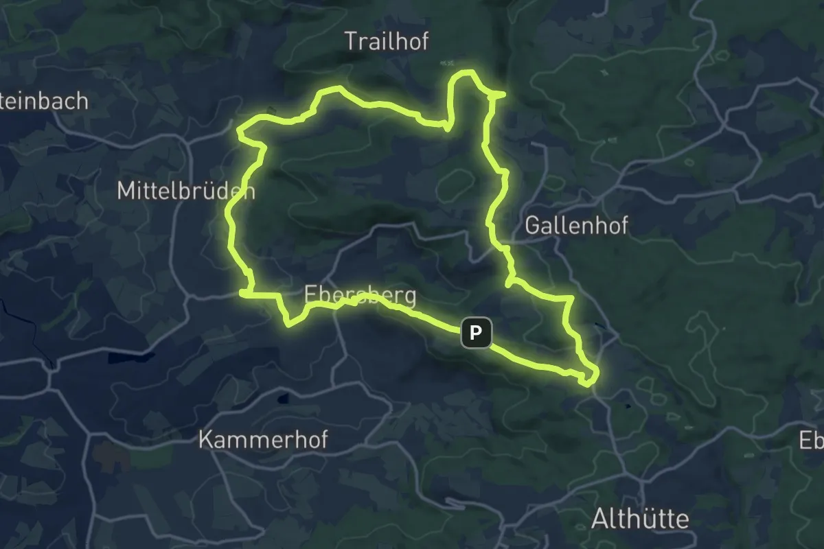
Medium · Summit
Auenwald - Rundwanderweg 1
15.9 km · ↑ 435 m · 4 h 54 min
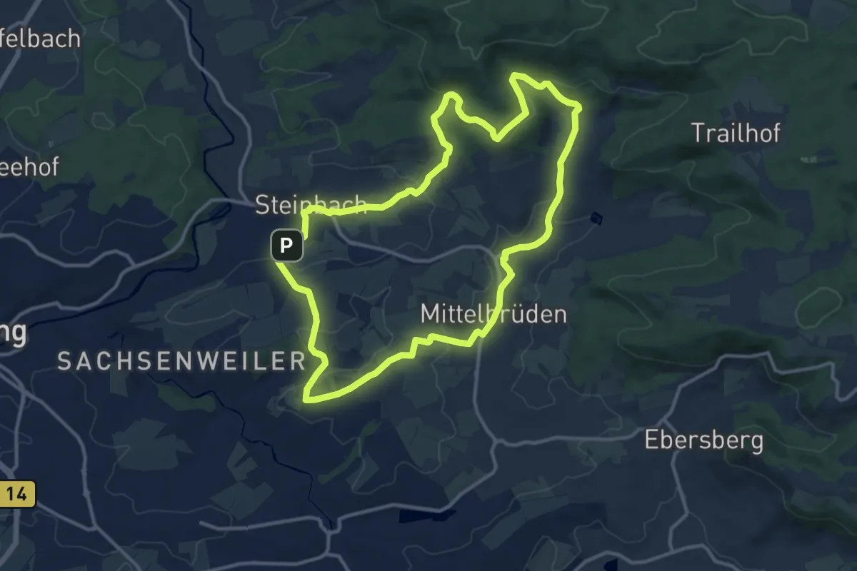
Medium · Summit
Auenwald - Rundwanderweg 2
11.4 km · ↑ 223 m · 3 h 20 min
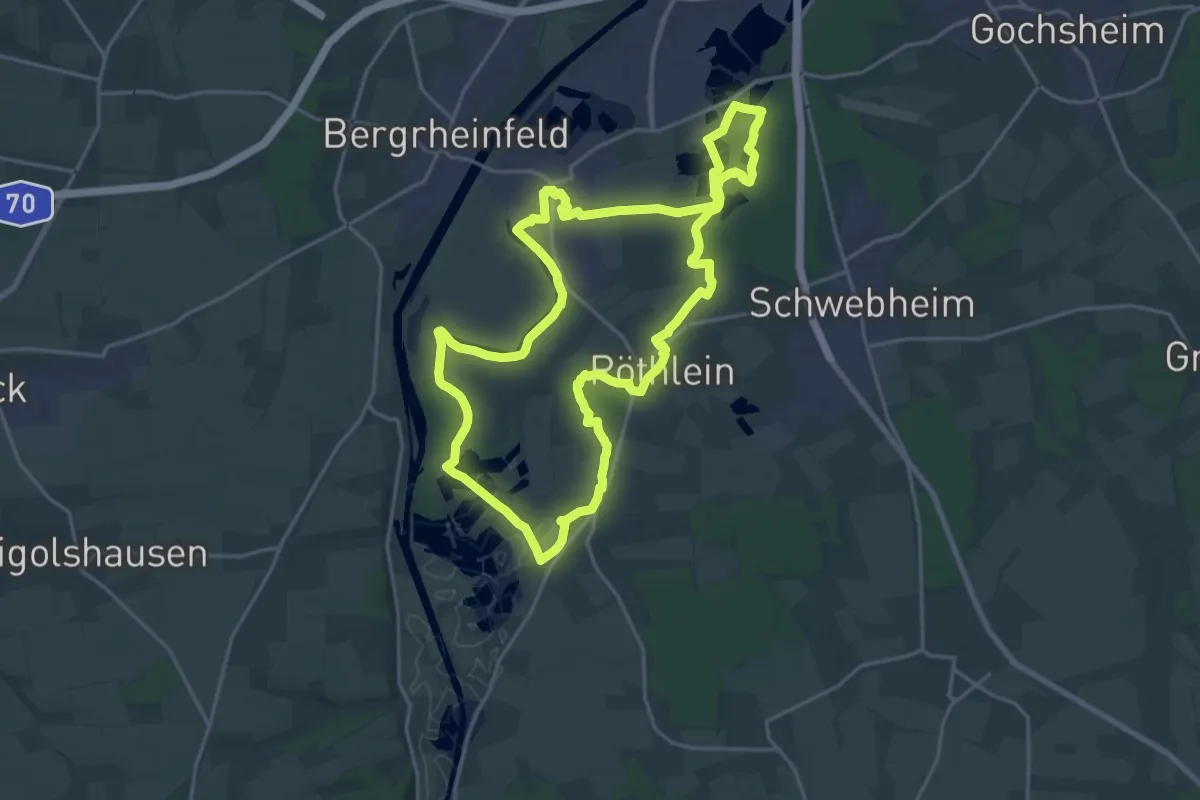
Demanding · Trail
Auenwaldweg - Schweinfurter Mainbogen
19.5 km · ↑ 48 m · 4 h 59 min
Medium · Trail
Auenwanderweg
17.4 km · ↑ 137 m · 4 h 24 min
Medium · Trail
Auen-Weg KU 81
11.2 km · ↑ 111 m · 3 h 2 min
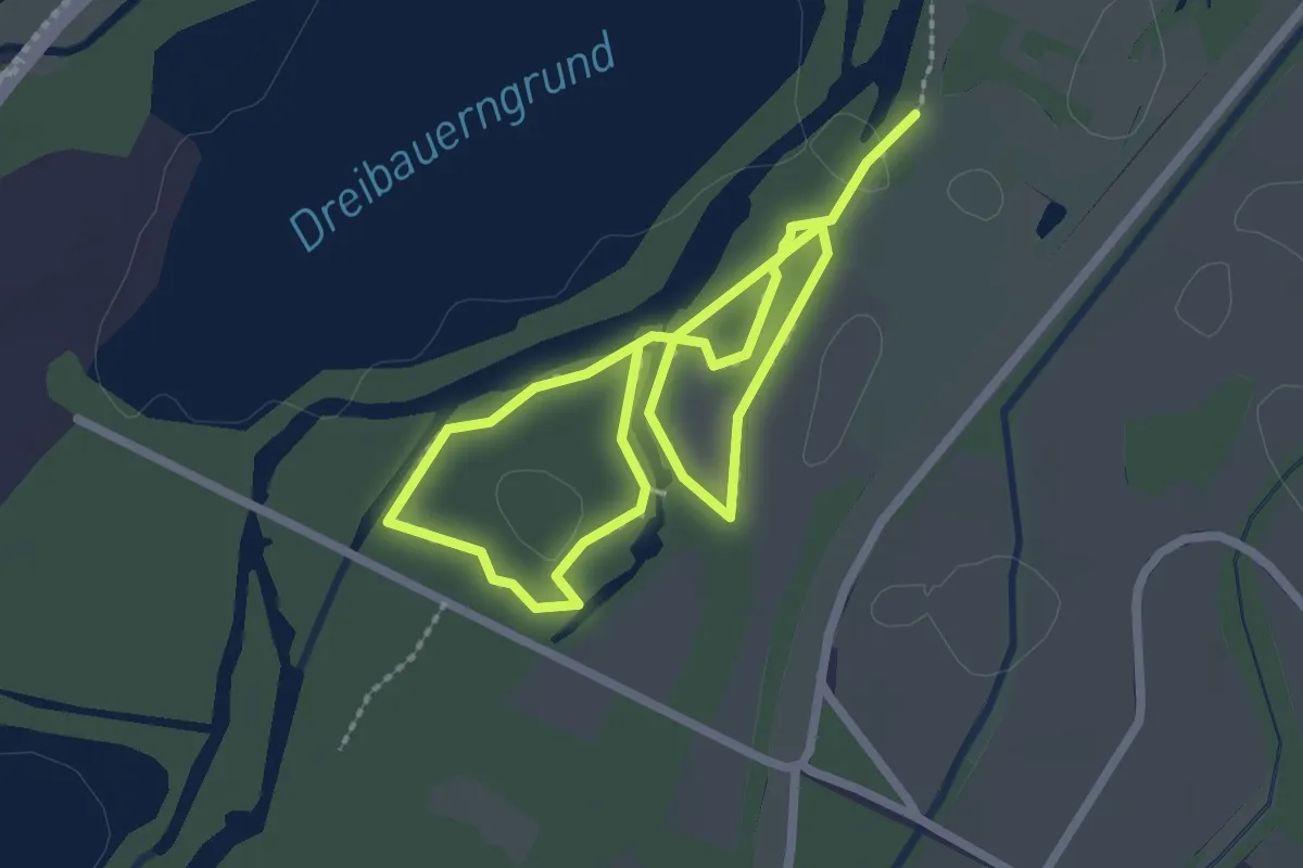
Easy · Trail
Auen-Wildnispfad
3.9 km · ↑ 0 m · 56 min
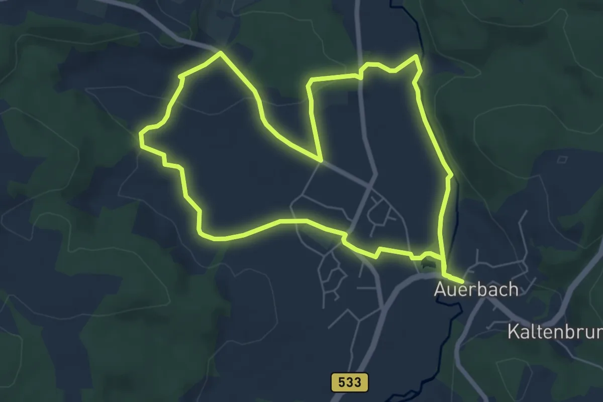
Easy · Trail
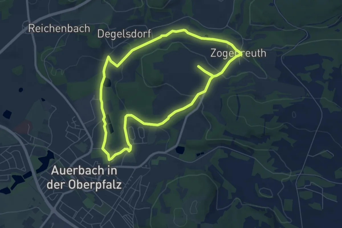
Auerbacher Kneippweg
6.0 km · ↑ 78 m · 1 h 40 min
Easy · Trail
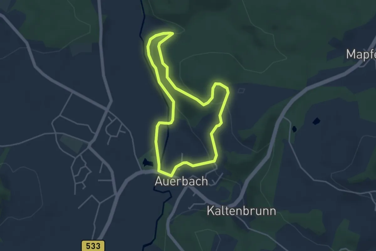
Auerbacher Mühlenweg
6.5 km · ↑ 86 m · 1 h 49 min
Easy · Trail
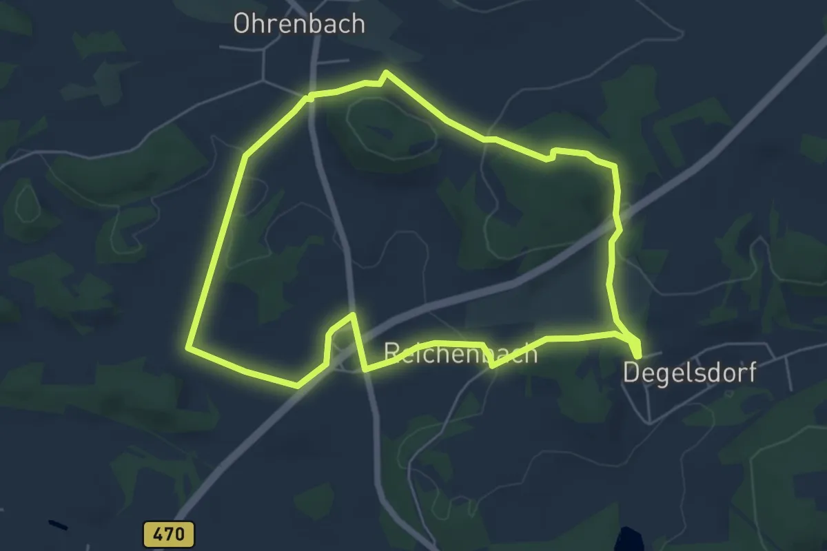
Auerbacher Naturlehrpfad
3.3 km · ↑ 114 m · 1 h 4 min
Easy · Summit
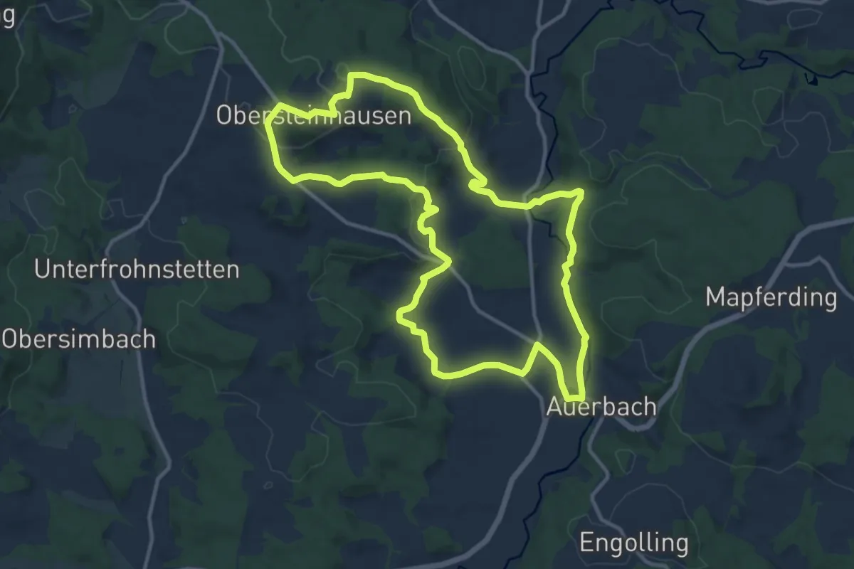
Auerbacher Obstler-Weg
5.2 km · ↑ 138 m · 1 h 35 min
Medium · Summit
Auerbacher Rundwanderweg Nr. 16
11.1 km · ↑ 292 m · 3 h 24 min
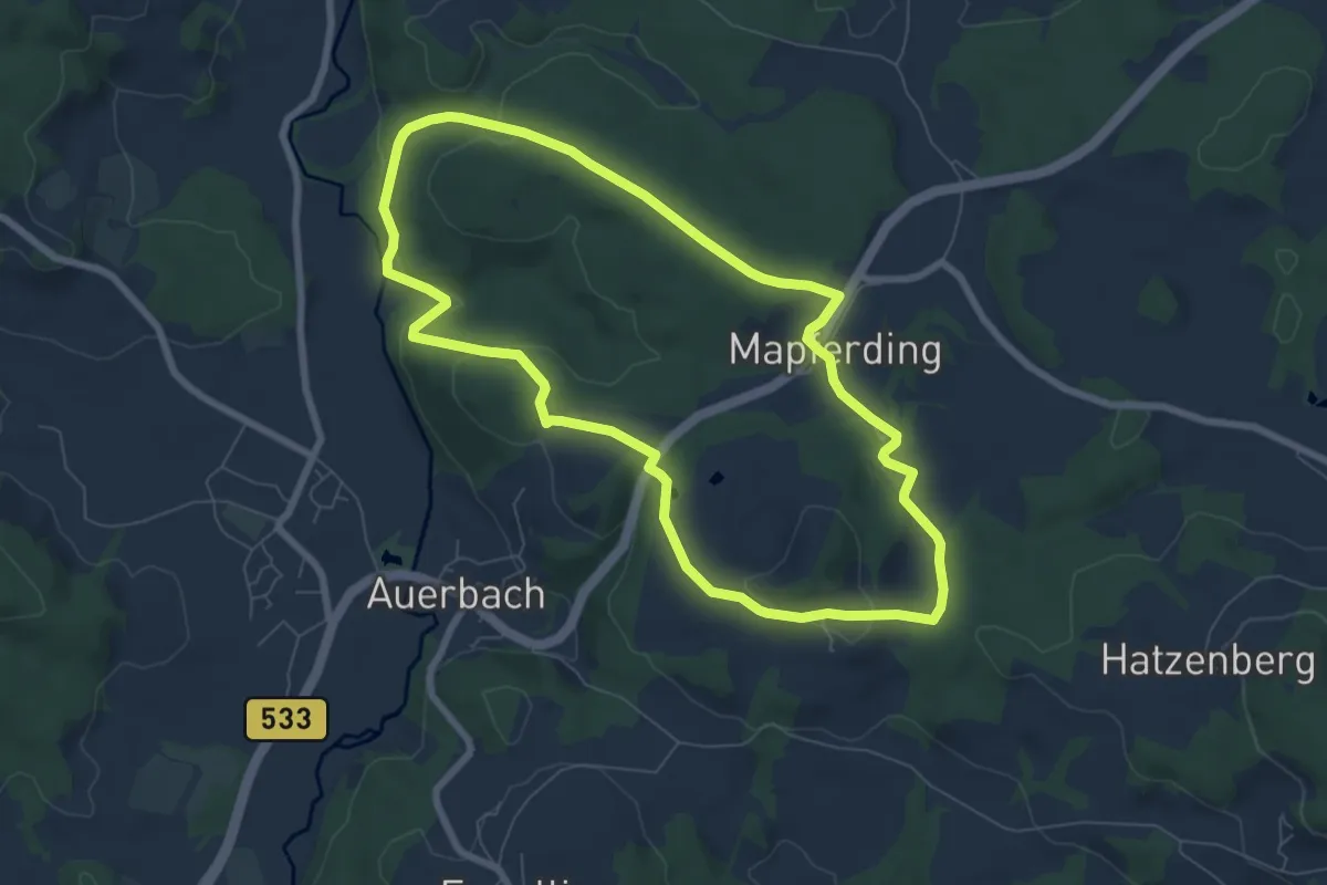
Easy · Trail
Auerbacher Schachtenwanderweg
6.9 km · ↑ 171 m · 2 h 5 min
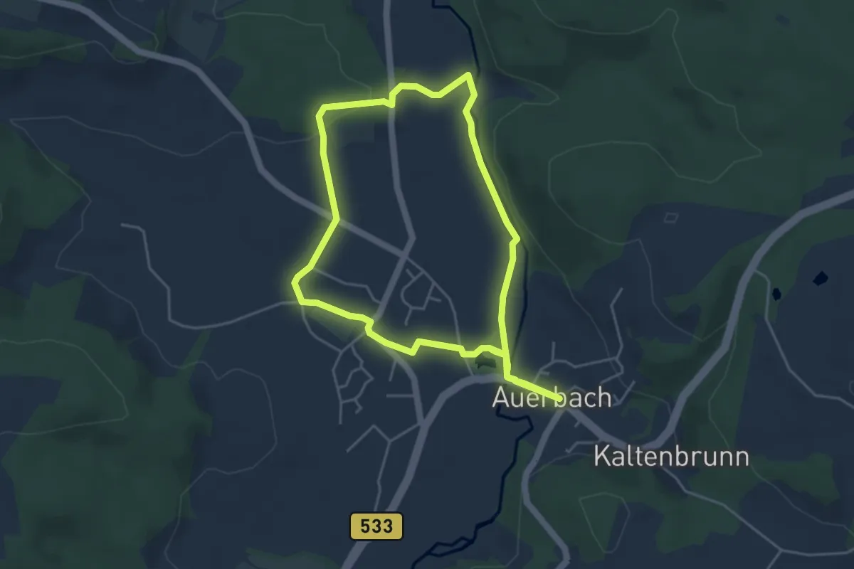
Easy · Trail
Auerbacher Winterwanderweg
4.0 km · ↑ 37 m · 1 h 5 min
Easy · Trail
Auerbach - JH Hormersdorf
6.0 km · ↑ 105 m · 1 h 38 min
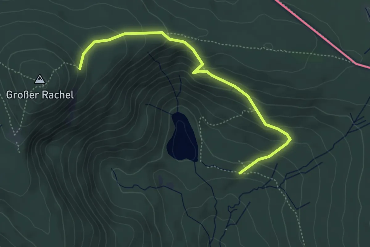
Medium · Trail
Auerhahn
2.3 km · ↑ 12 m · 45 min
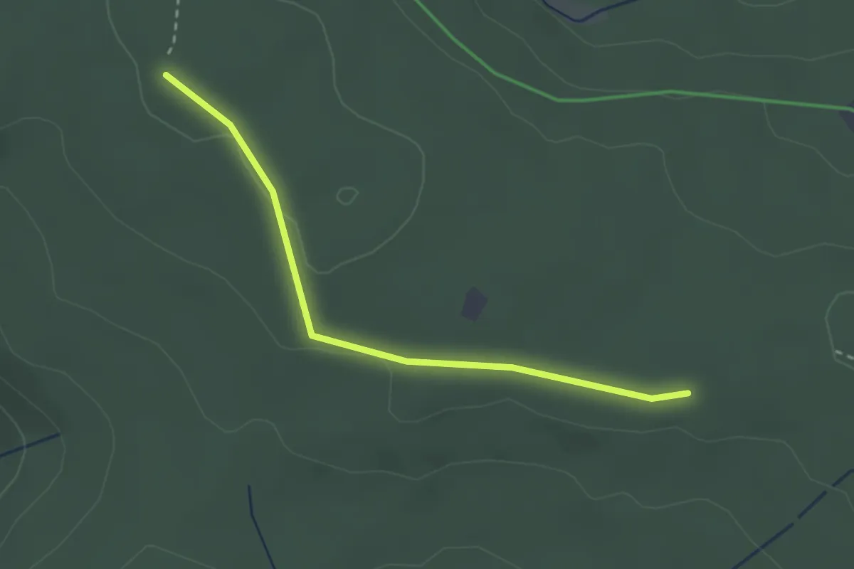
Easy · Trail
Auerhahnköpfle - Spindelhau
2.6 km · ↑ 24 m · 40 min
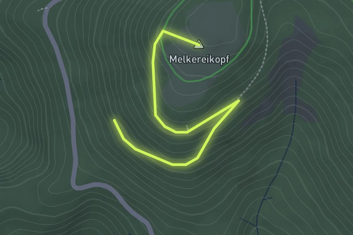
Easy · Summit
Auerhahnweg - Melkereikopf Ettlinger Hütte
2.7 km · ↑ 142 m · 56 min
Easy · Trail
Auermühle Rundweg A3
2.2 km · ↑ 90 m · 44 min