Trails in Germany
36,852 hiking trails, each with its route, climb, walking time and grade.
All trails, page 344 of 768
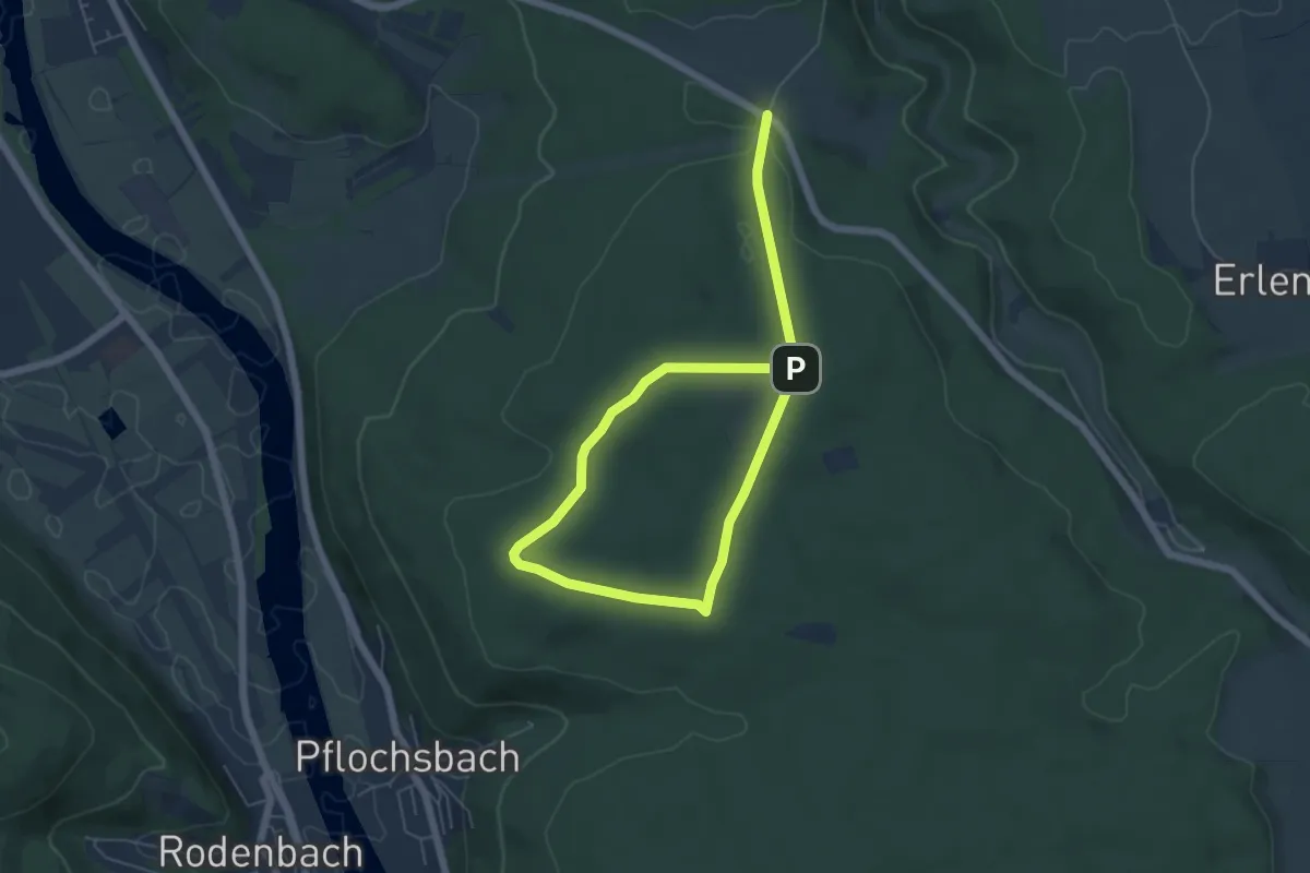
Easy · Trail
Methusalem Wanderweg Rote Route
3.9 km · ↑ 36 m · 1 h 4 min
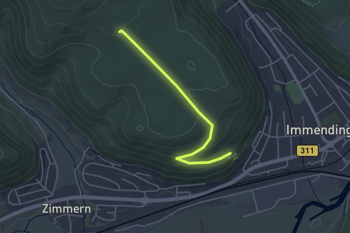
Easy · Trail
Mettenberg - Iltishalde
3.4 km · ↑ 96 m · 1 h 1 min
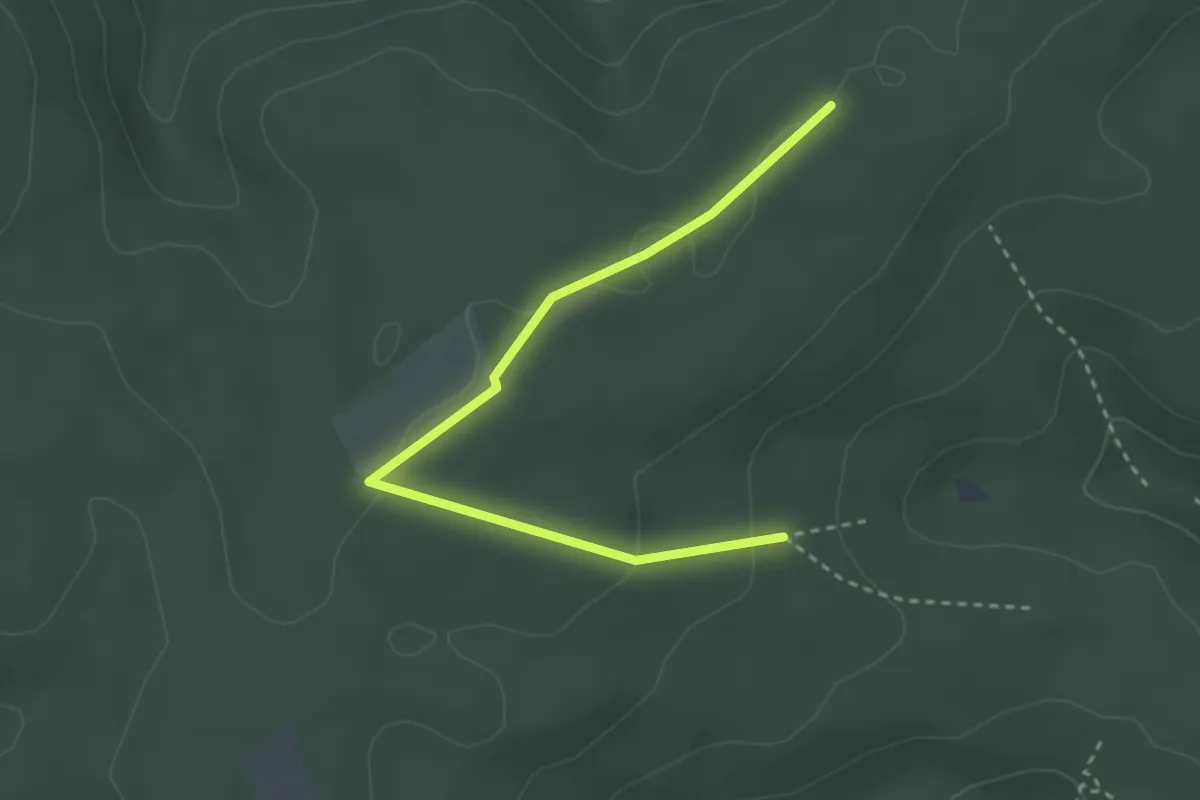
Easy · Trail
Mettenberg-Rundweg
1.6 km · ↑ 22 m · 27 min
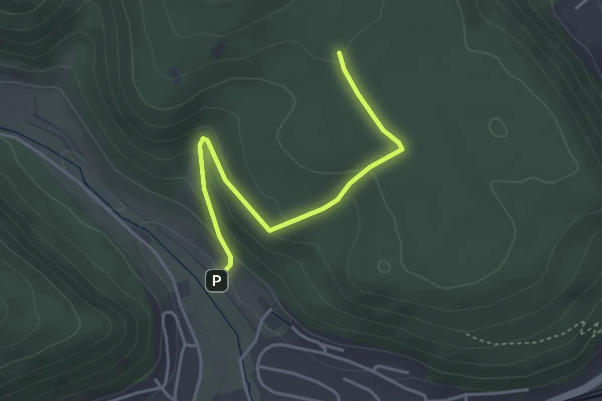
Easy · Trail
Mettenberg - Stolzenmühleäcker
3.5 km · ↑ 141 m · 1 h 7 min
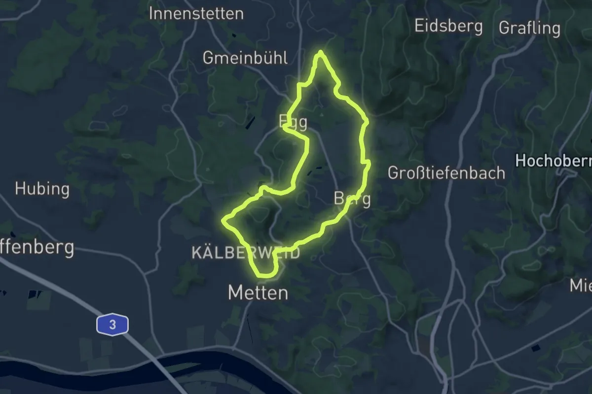
Medium · Trail
Mettener Rundwanderweg Nr. 10
10.9 km · ↑ 245 m · 3 h 15 min
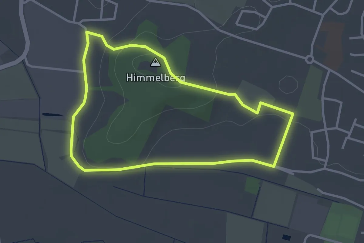
Easy · Summit
Mettener Rundwanderweg Nr. 6
2.7 km · ↑ 50 m · 46 min
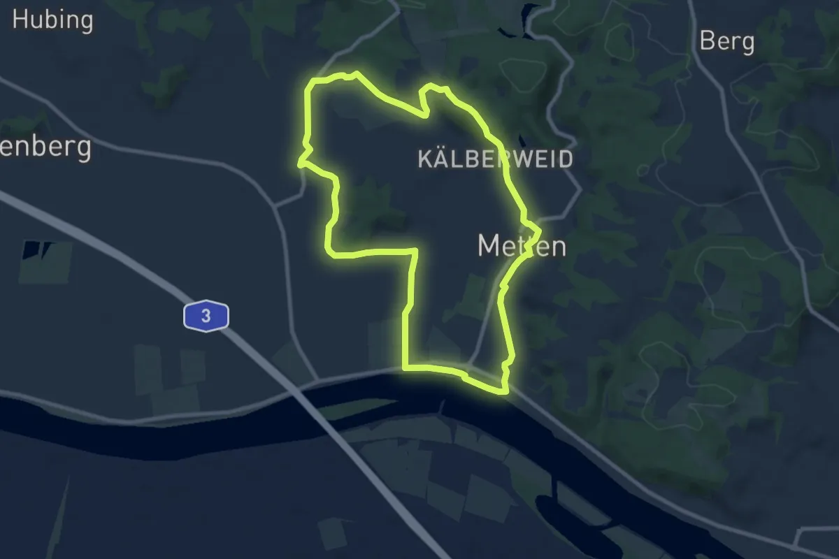
Medium · Trail
Mettener Rundwanderweg Nr. 7
8.1 km · ↑ 83 m · 2 h 13 min
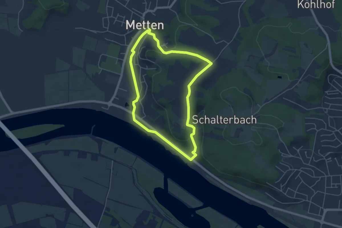
Easy · Trail
Mettener Rundwanderweg Nr. 9
4.3 km · ↑ 76 m · 1 h 15 min
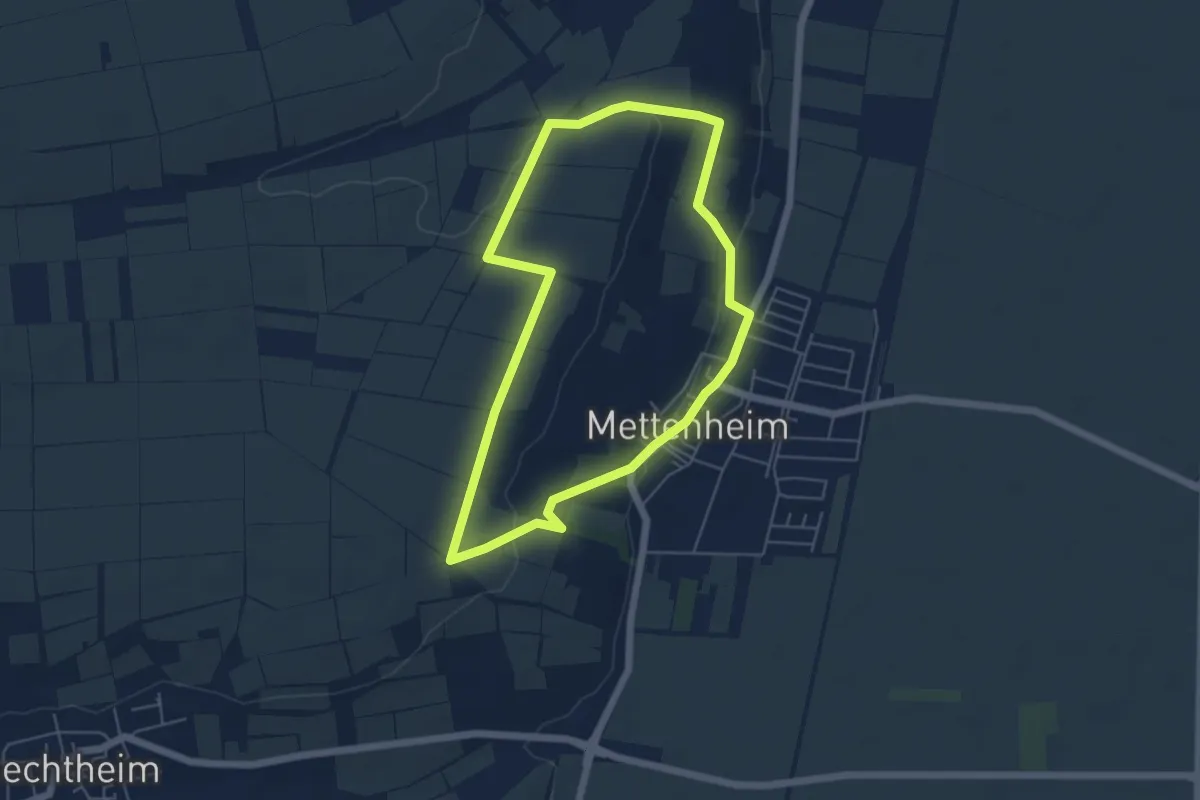
Easy · Trail
Mettenheim P: Panoramaweg
4.8 km · ↑ 90 m · 1 h 23 min
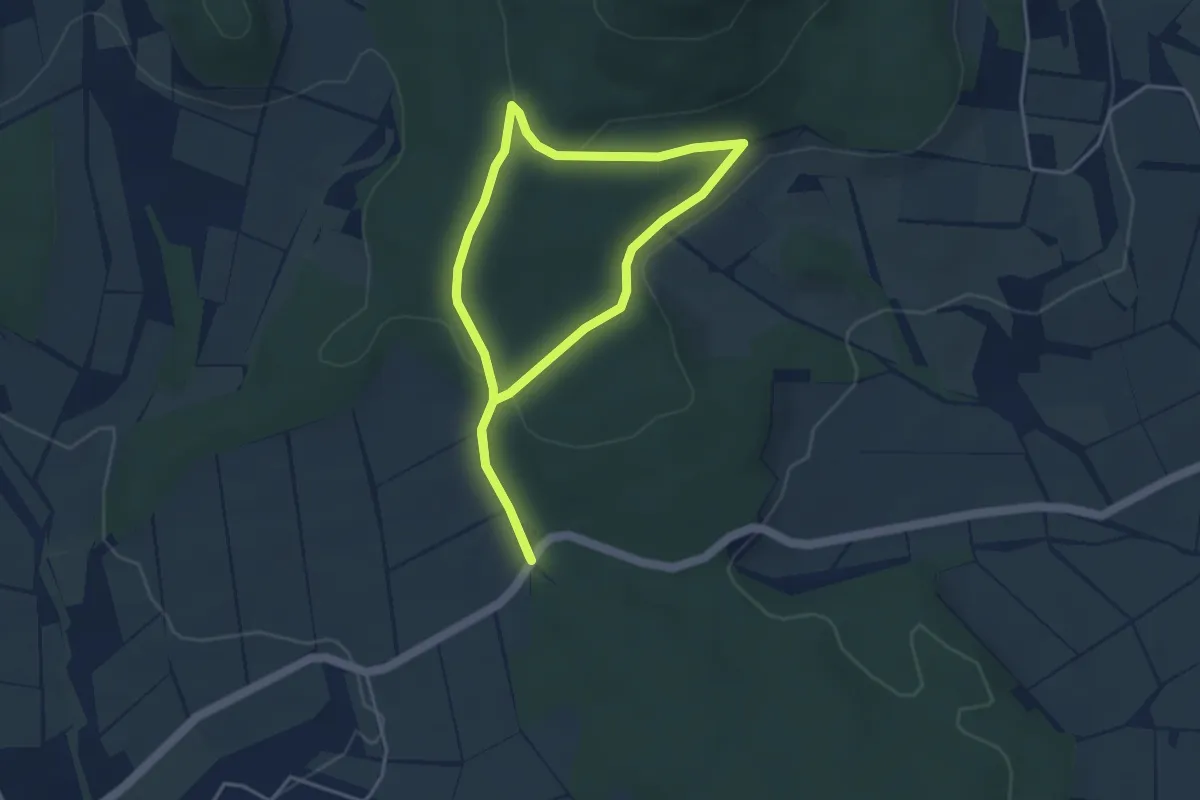
Easy · Trail
Metze, Rundweg 2
3.2 km · ↑ 77 m · 58 min
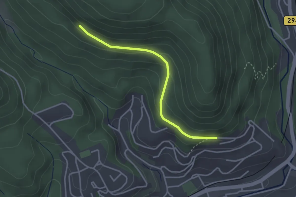
Easy · Trail
Metzgersträßle - Vordere Kapfhütte
2.7 km · ↑ 127 m · 55 min
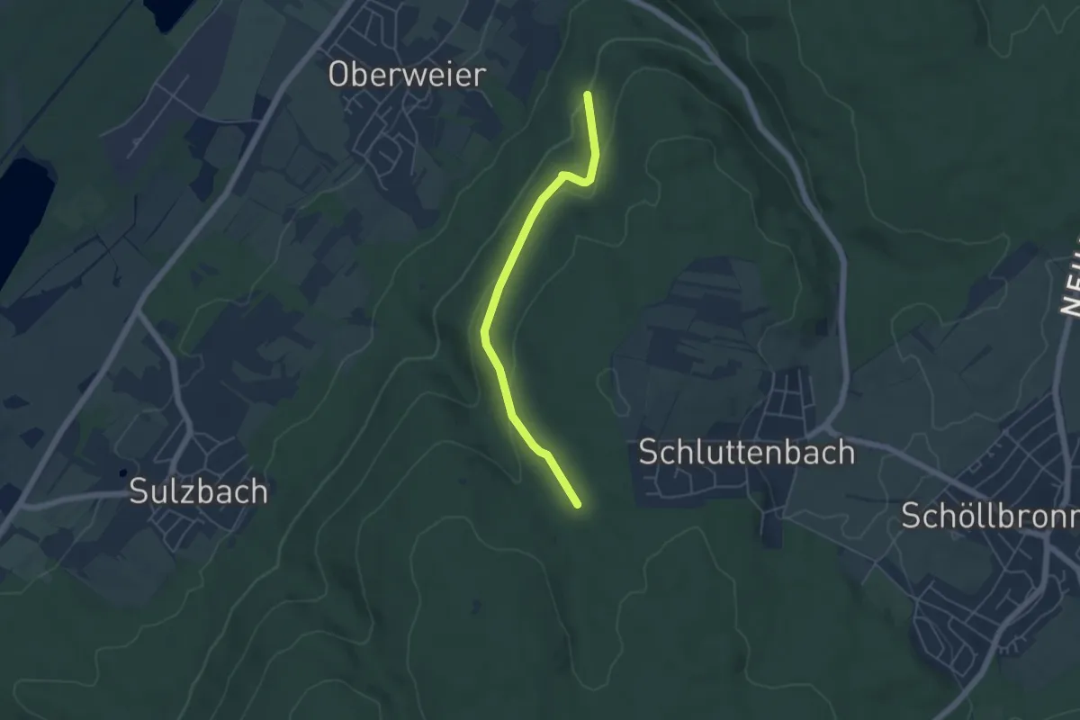
Easy · Trail
Metzgerweg - Winterberg
4.4 km · ↑ 139 m · 1 h 21 min
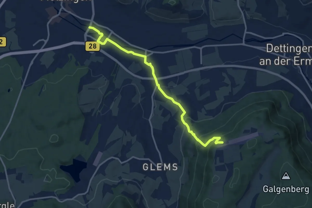
Medium · Trail
Metzingen - Rossfeld
9.6 km · ↑ 405 m · 3 h 8 min
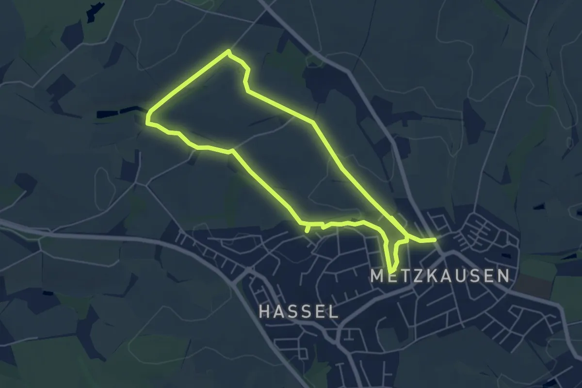
Easy · Trail
Metzkausen Rundweg A7
4.6 km · ↑ 61 m · 1 h 16 min
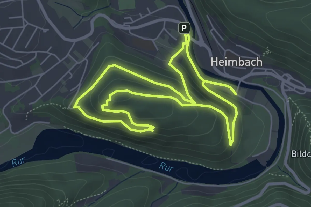
Easy · Trail
Meuchelberg
4.9 km · ↑ 203 m · 1 h 40 min
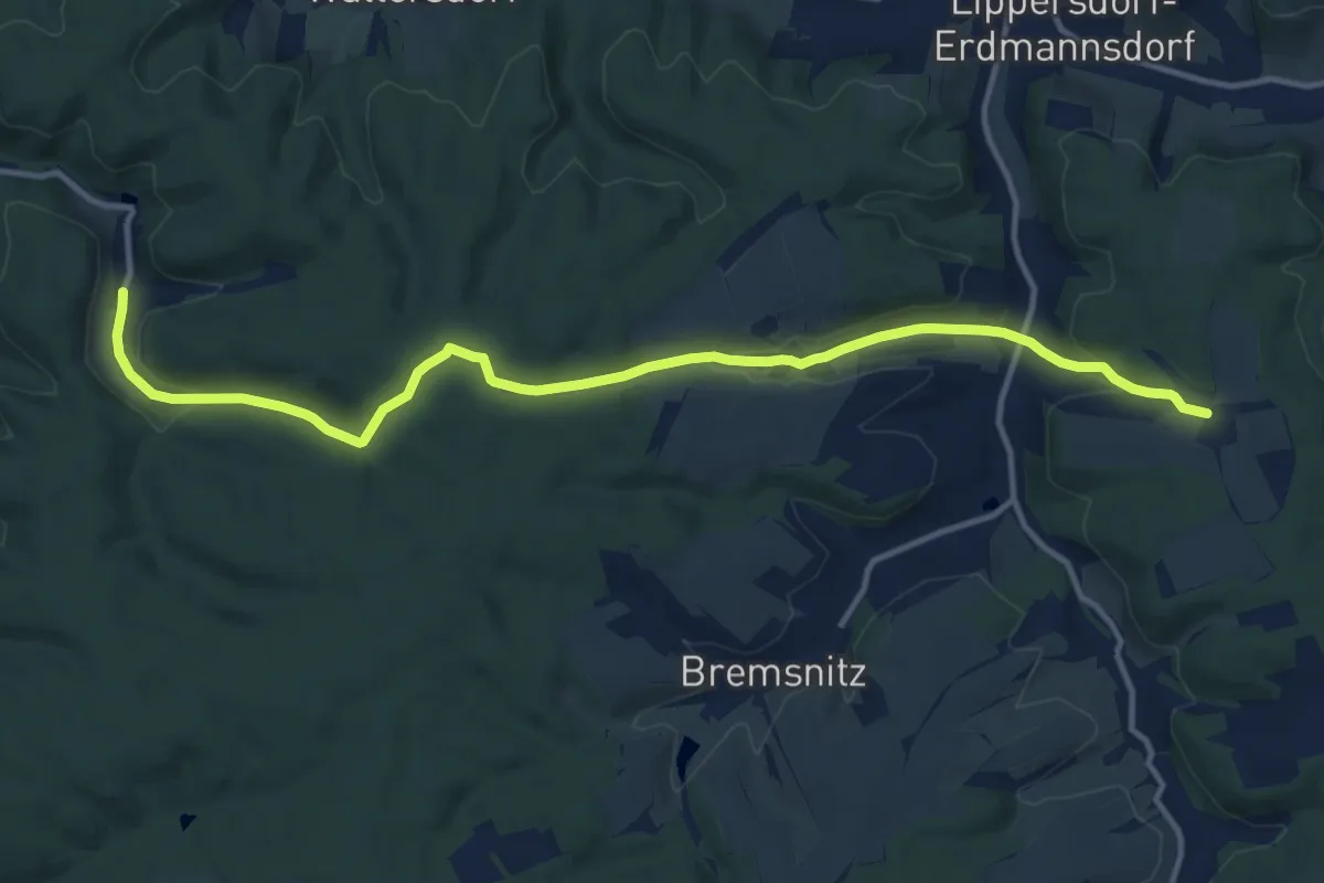
Medium · Trail
Meusebach - Rothvorwerk
13.2 km · ↑ 340 m · 3 h 51 min
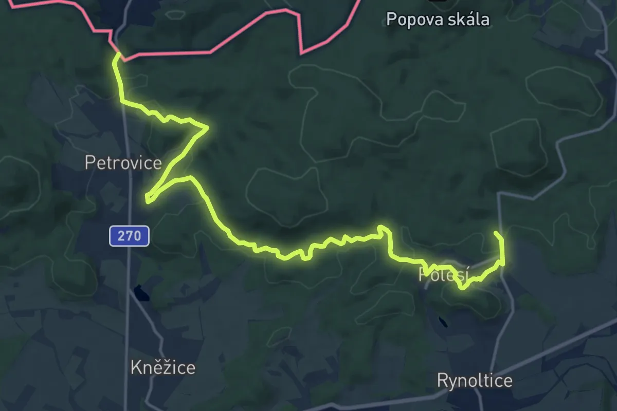
Medium · Summit
[M] Horní Sedlo - Petrovice
16.6 km · ↑ 370 m · 4 h 43 min
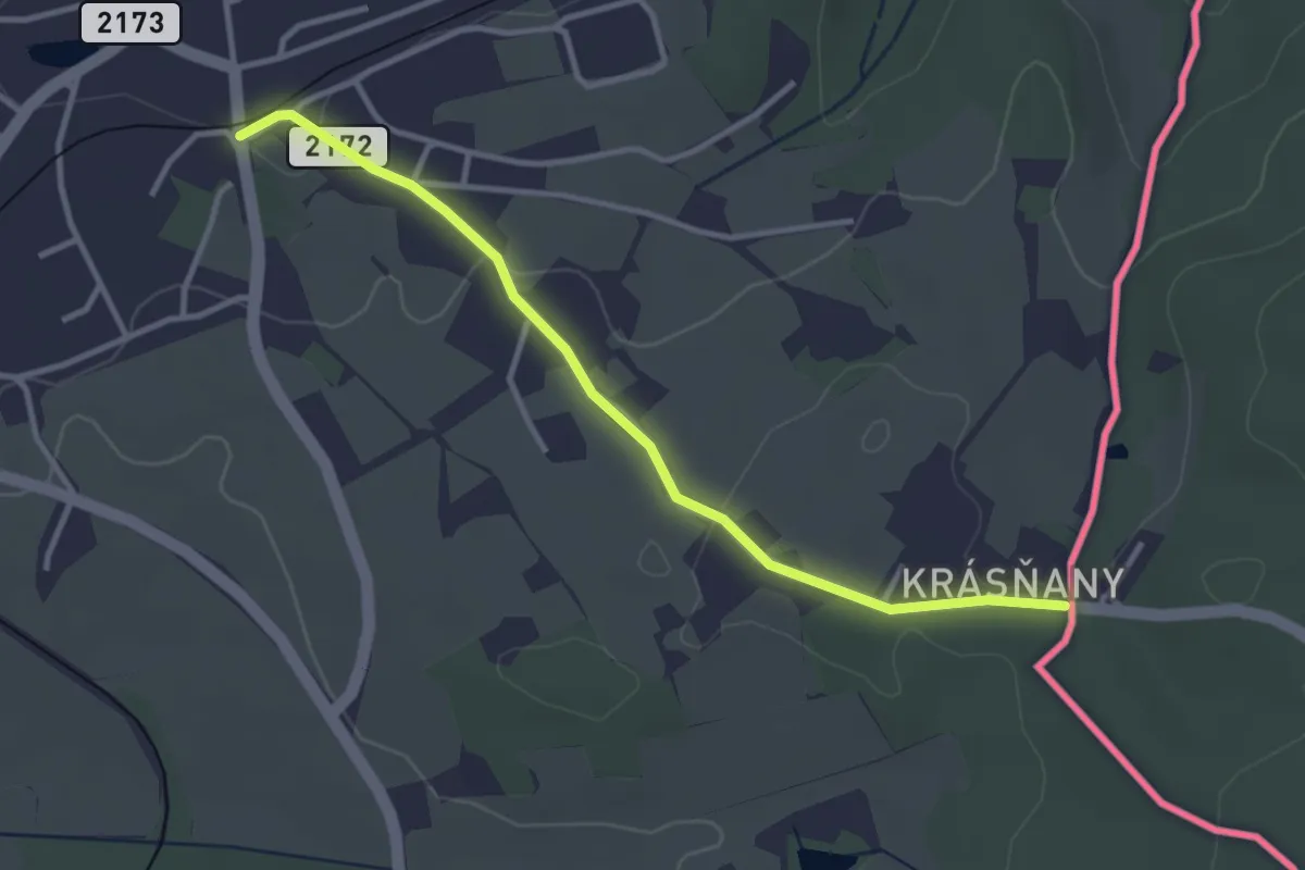
Easy · Trail
[M] Hranice (CZ/D) - Krásňany
3.1 km · ↑ 45 m · 50 min
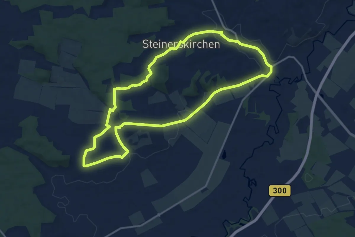
Medium · Trail
Michaels-Weg
9.5 km · ↑ 144 m · 2 h 41 min
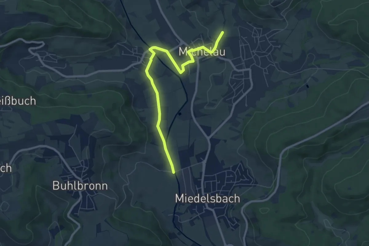
Easy · Trail
Michelau - Miedelsbach
6.9 km · ↑ 70 m · 1 h 47 min
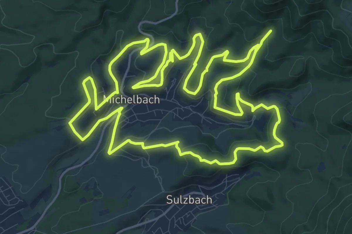
Medium · Trail
Michelbacher Rundweg
15.1 km · ↑ 518 m · 4 h 53 min
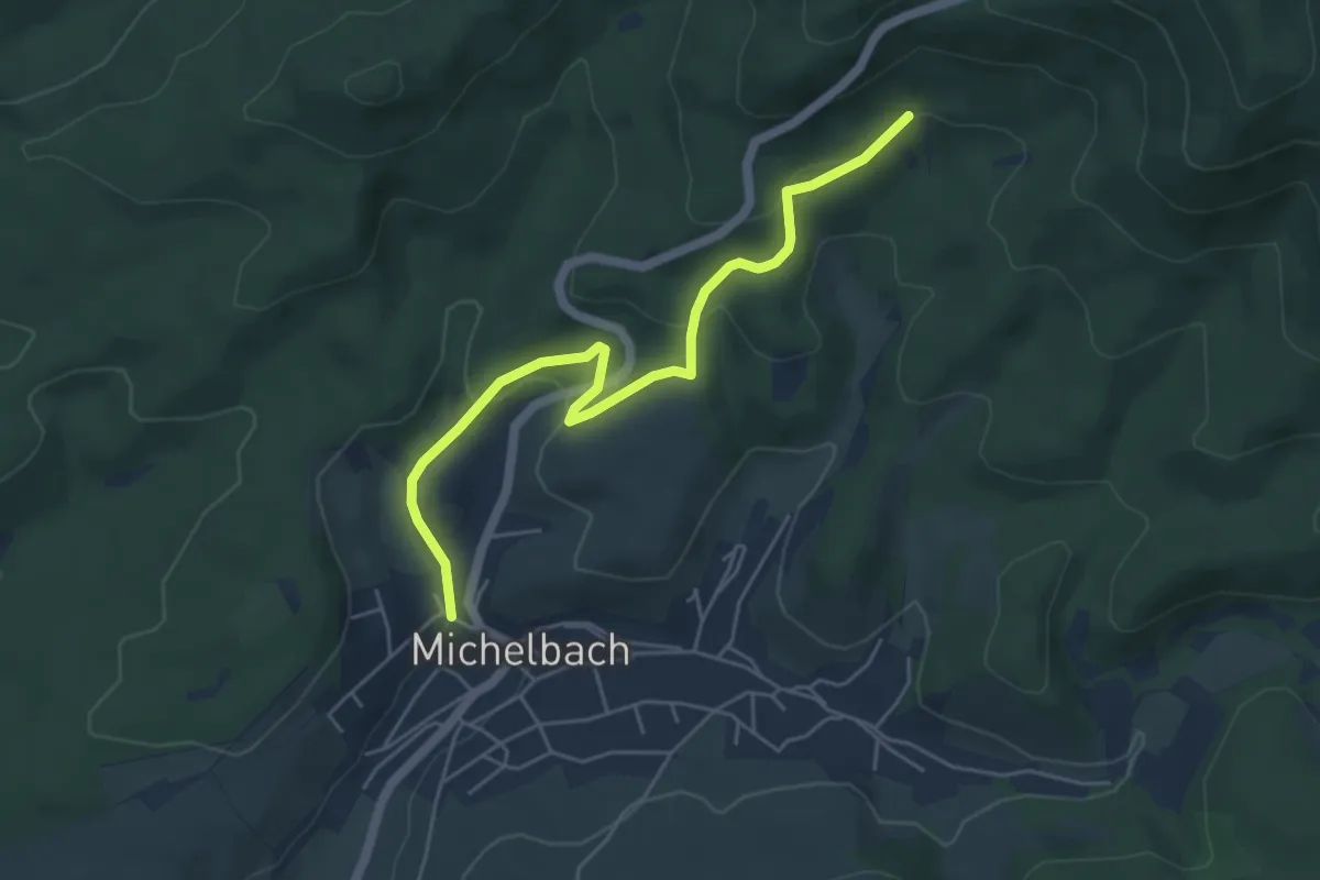
Easy · Trail
Michelbach Schlossgasse - Tirolerbrunnen
5.0 km · ↑ 224 m · 1 h 40 min
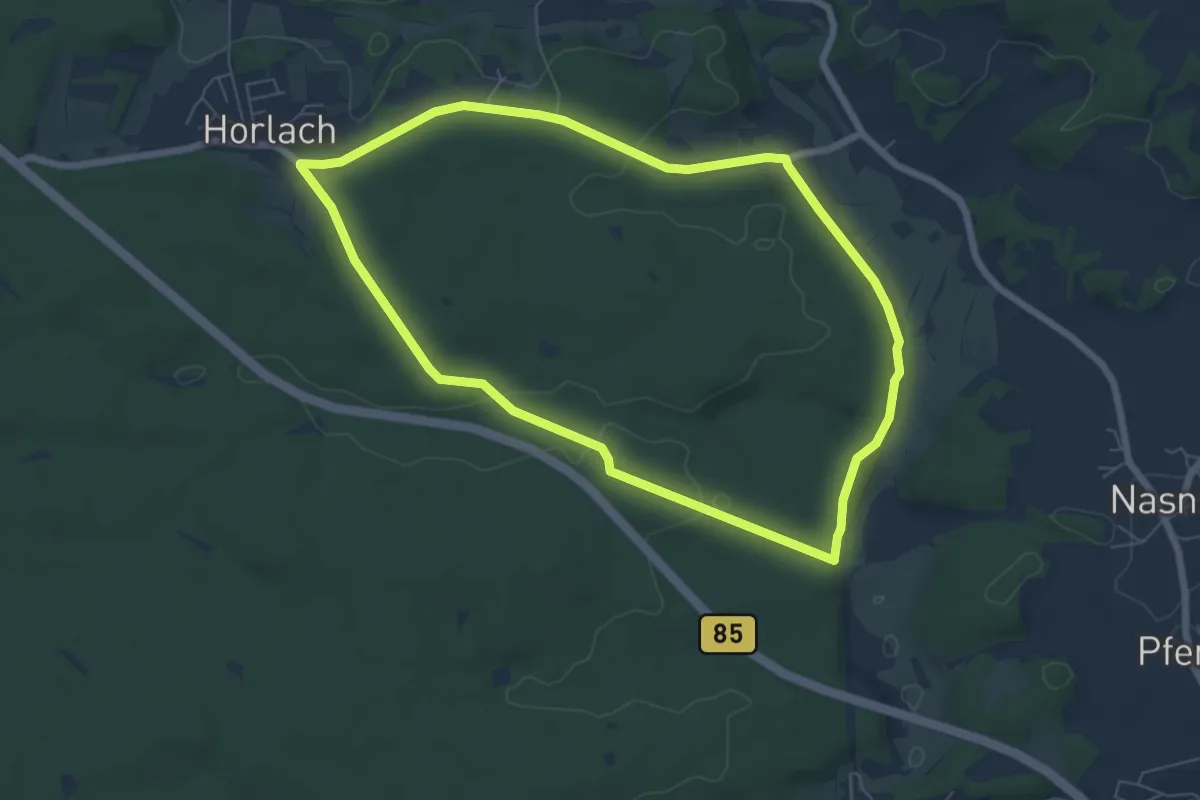
Easy · Trail
Michelfelder Kapellenweg
6.1 km · ↑ 89 m · 1 h 43 min
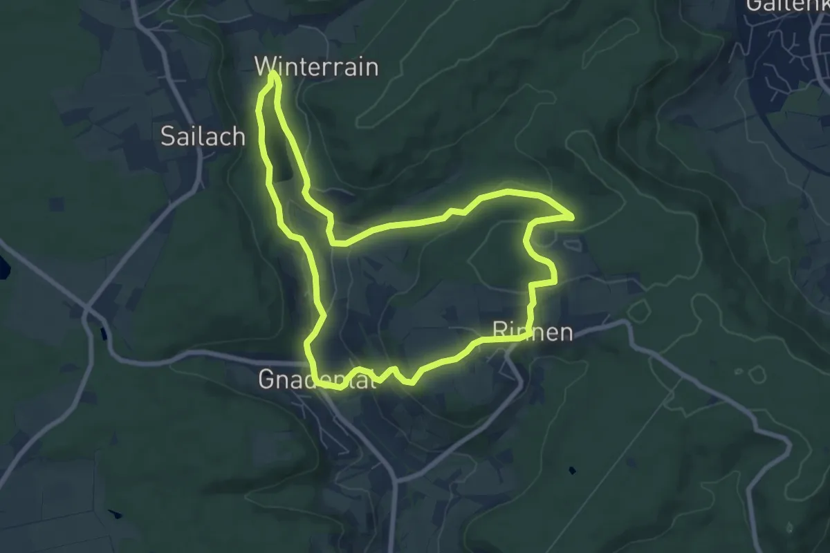
Easy · Trail
Michelfeld - Rundwanderweg 1
7.0 km · ↑ 176 m · 2 h 8 min
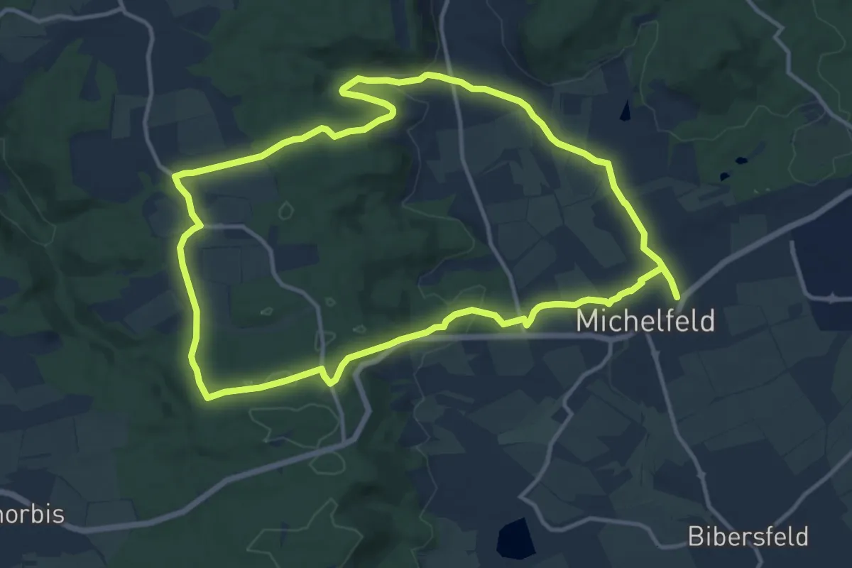
Medium · Trail
Michelfeld - Rundwanderweg 3
11.3 km · ↑ 176 m · 3 h 13 min
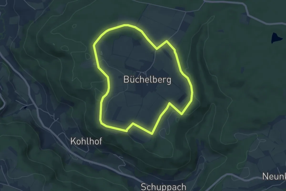
Easy · Trail
Michelfeld - Rundwanderweg 4
5.0 km · ↑ 35 m · 1 h 19 min
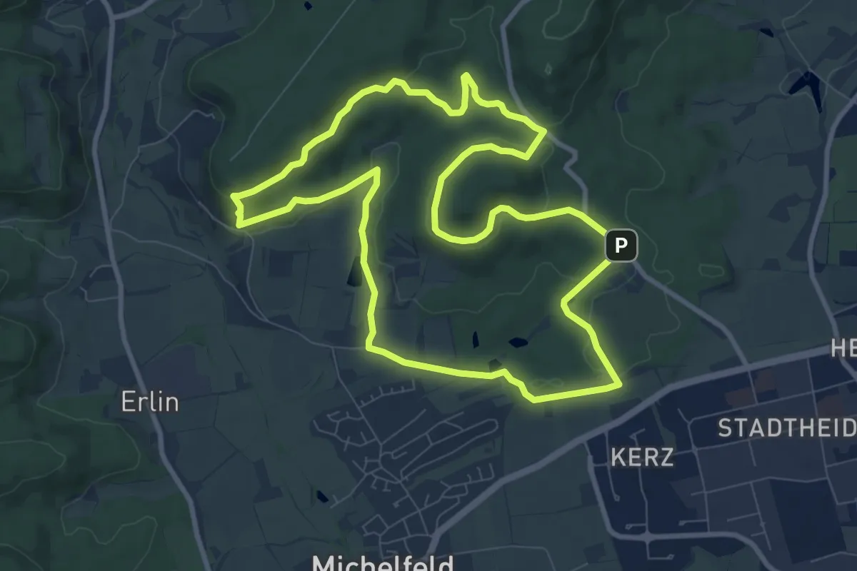
Medium · Summit
Michelfeld - Rundwanderweg 5
8.6 km · ↑ 168 m · 2 h 30 min
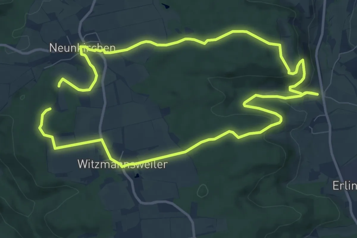
Medium · Trail
Michelfeld - Rundwanderweg 6
8.5 km · ↑ 154 m · 2 h 27 min
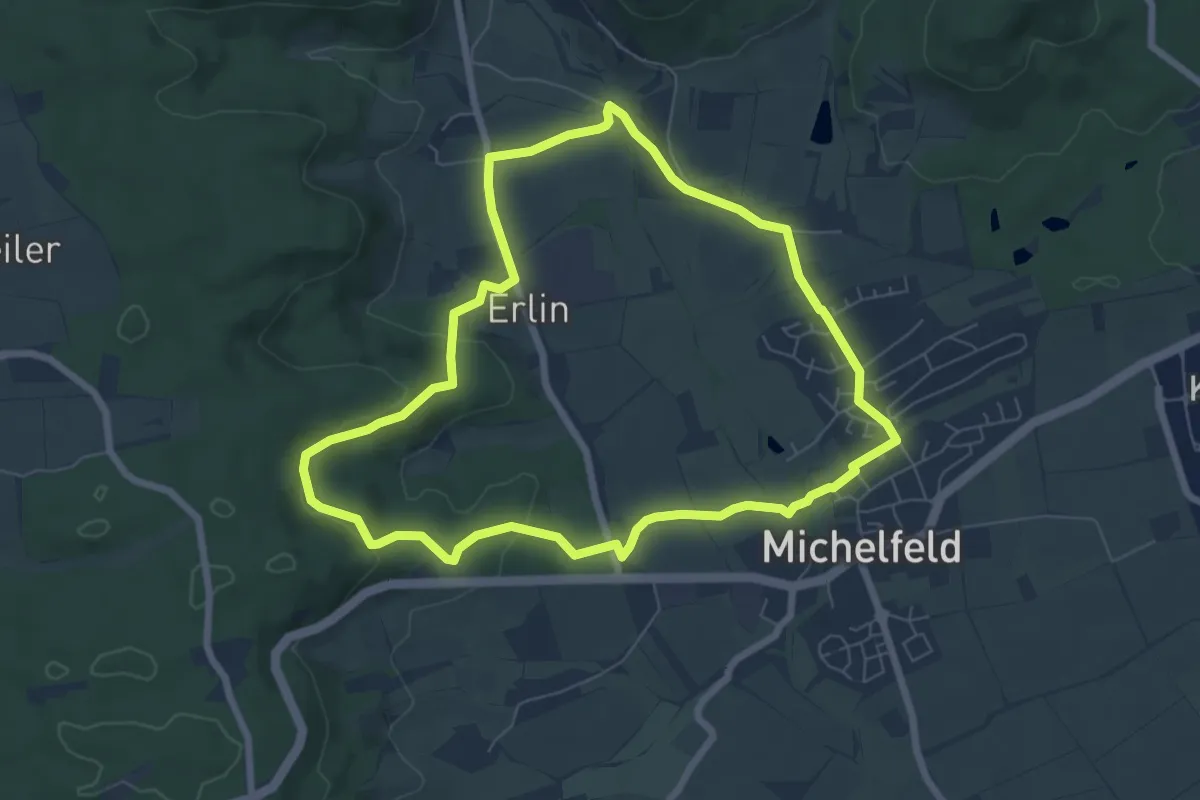
Easy · Trail
Michelfeld - Rundwanderweg 7
6.5 km · ↑ 105 m · 1 h 51 min
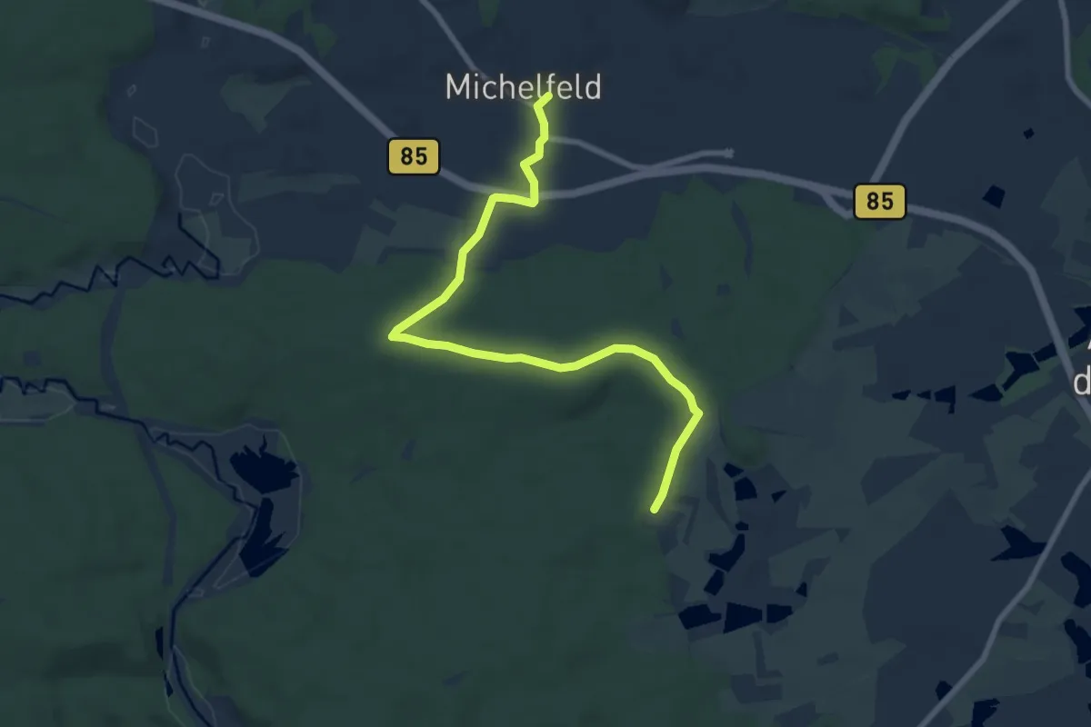
Easy · Trail
Michelfeld-Rußhütte
7.9 km · ↑ 101 m · 2 h 6 min
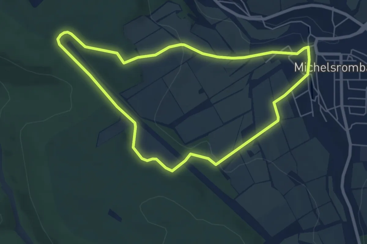
Easy · Summit
Michelsrombach Rhön 1
4.8 km · ↑ 94 m · 1 h 24 min
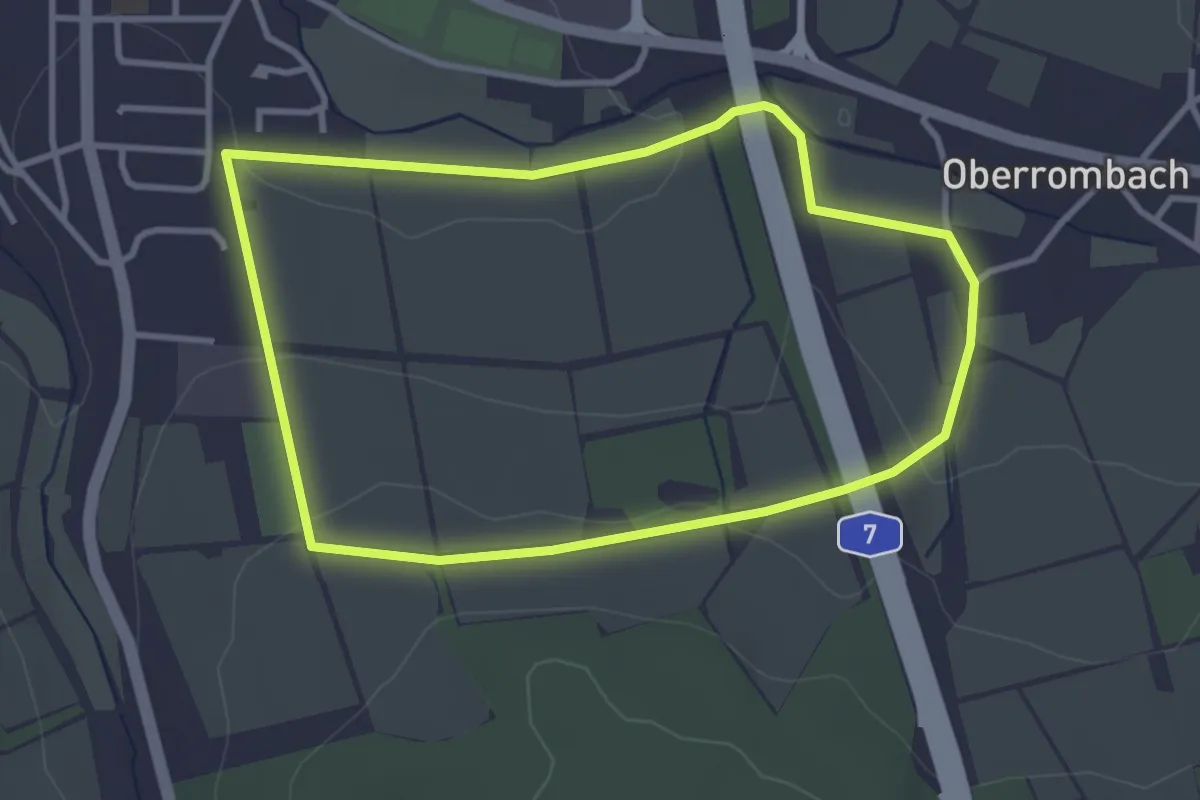
Easy · Trail
Michelsrombach Rhön 2
3.0 km · ↑ 61 m · 53 min
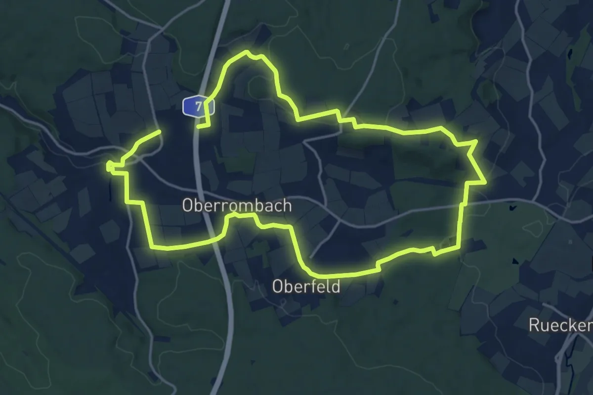
Medium · Trail
Michelsrombach Rhön 3
13.9 km · ↑ 217 m · 3 h 58 min
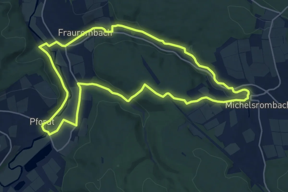
Medium · Summit
Michelsrombach Rhön 4
13.5 km · ↑ 214 m · 3 h 51 min
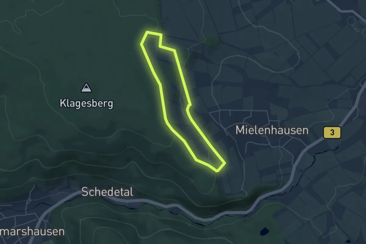
Easy · Trail
Mielenhausen 40min
3.7 km · ↑ 77 m · 1 h 5 min
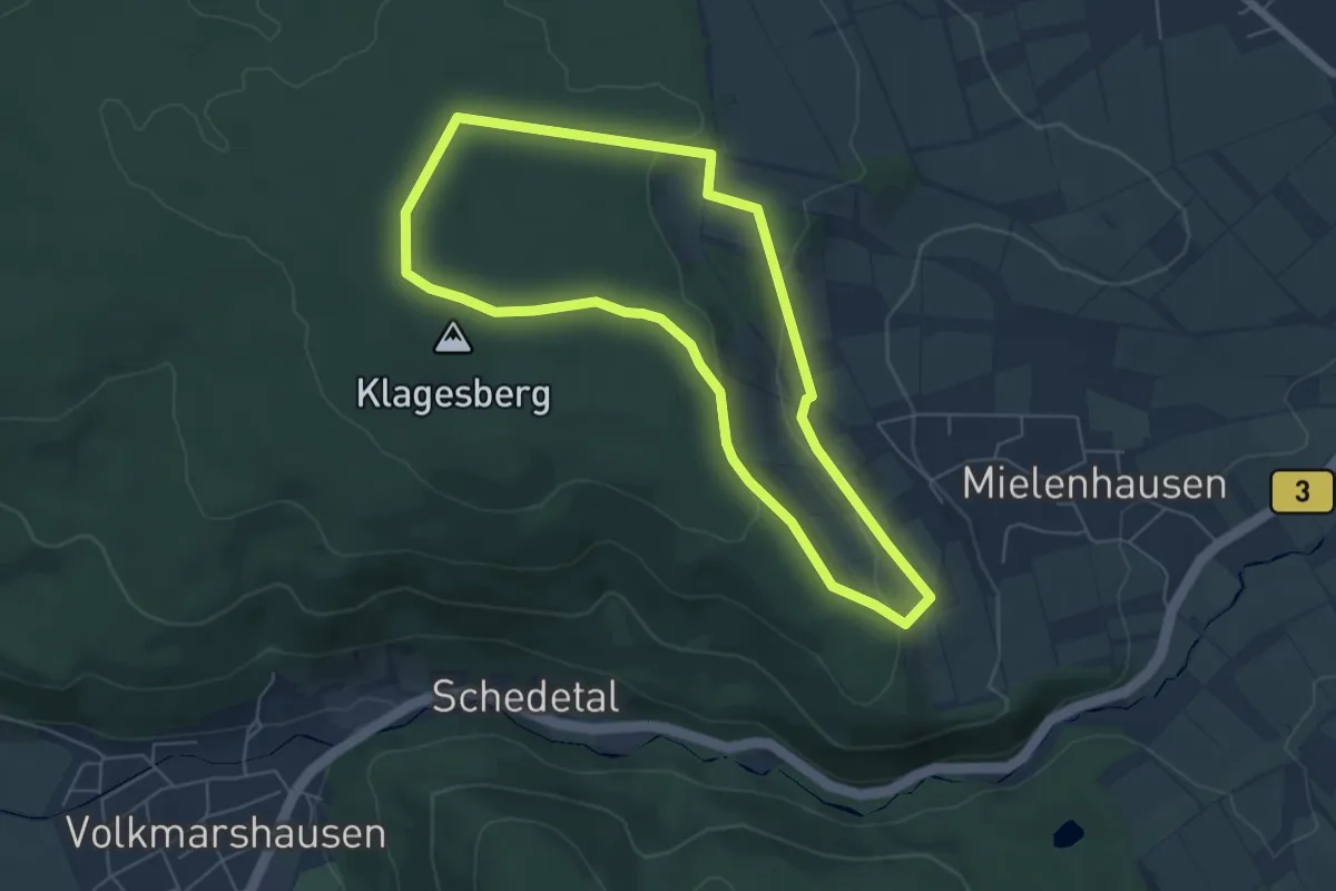
Easy · Summit
Mielenhausen 75min
5.1 km · ↑ 112 m · 1 h 31 min
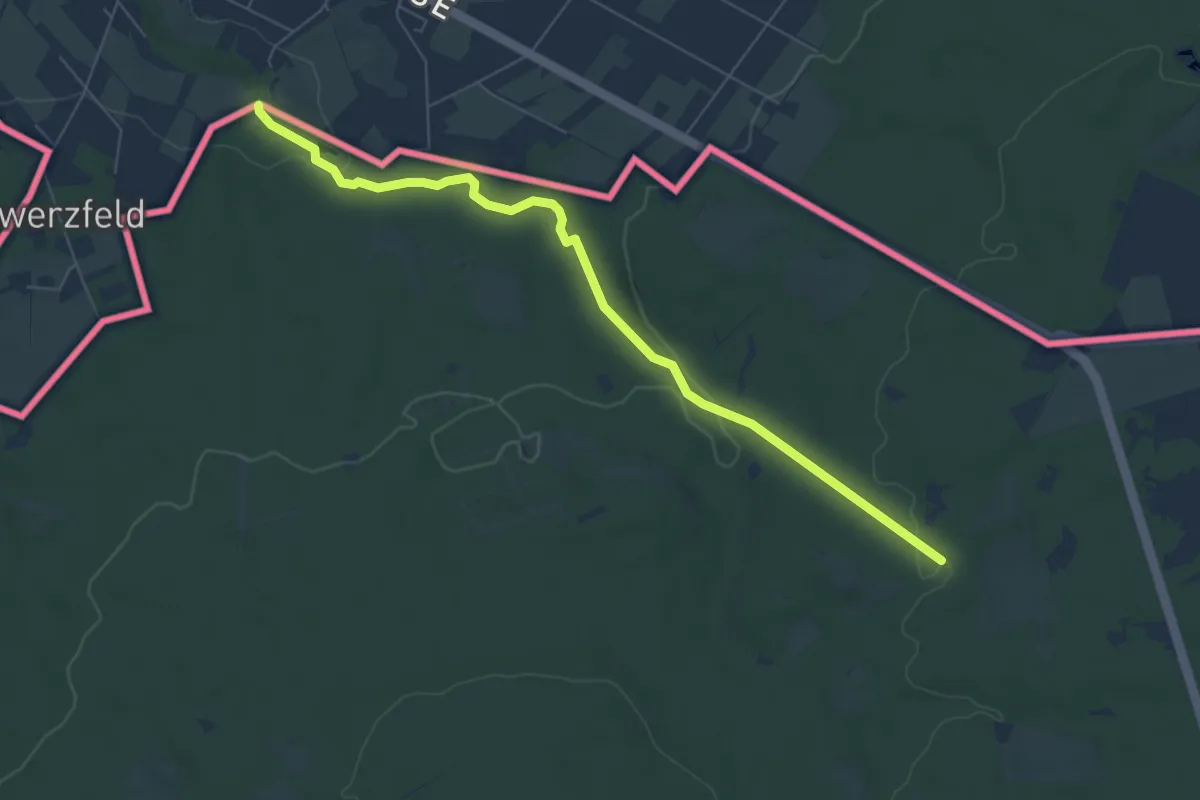
Easy · Trail
Miesbaum
3.3 km · ↑ 114 m · 1 h
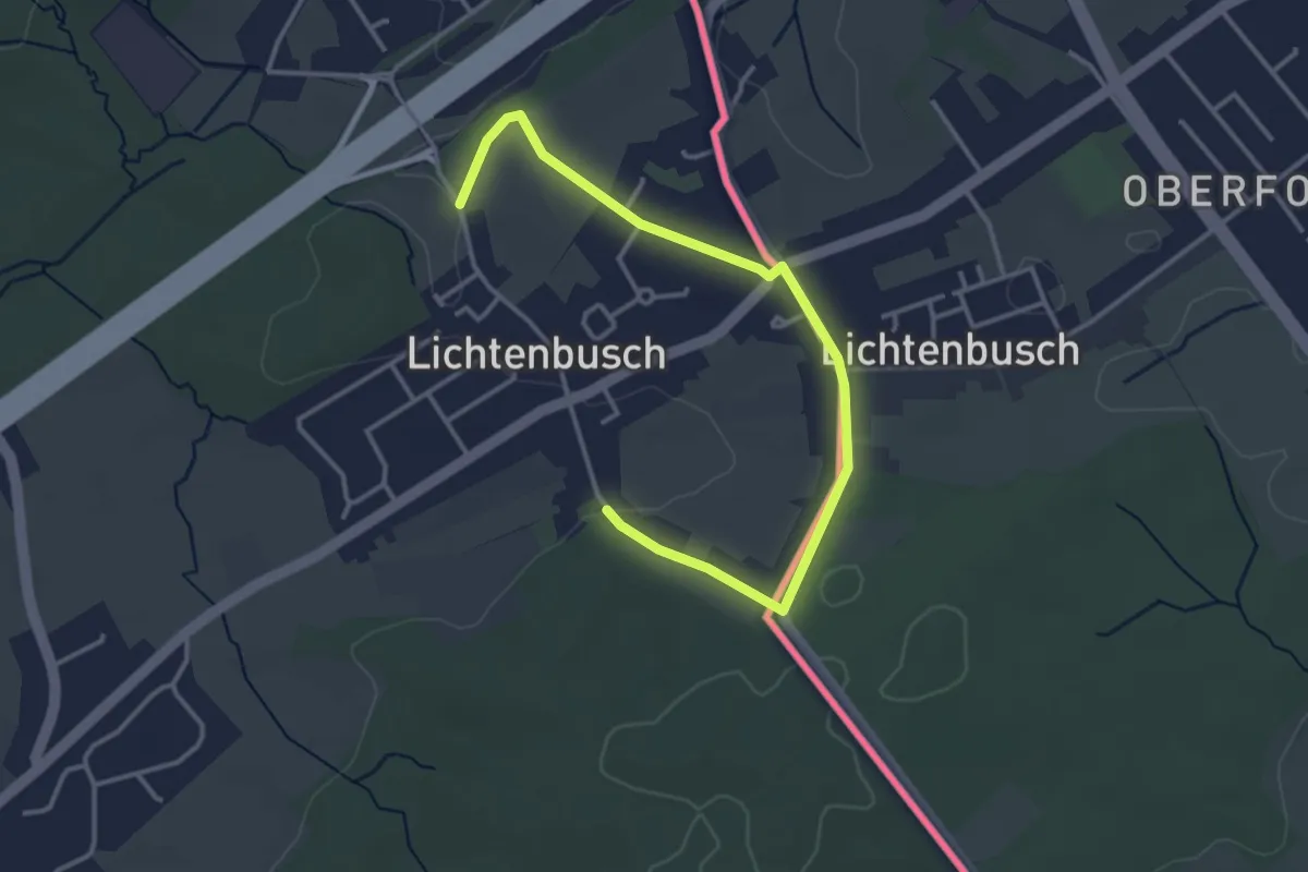
Easy · Trail
Mießbaum
1.8 km · ↑ 15 m · 29 min
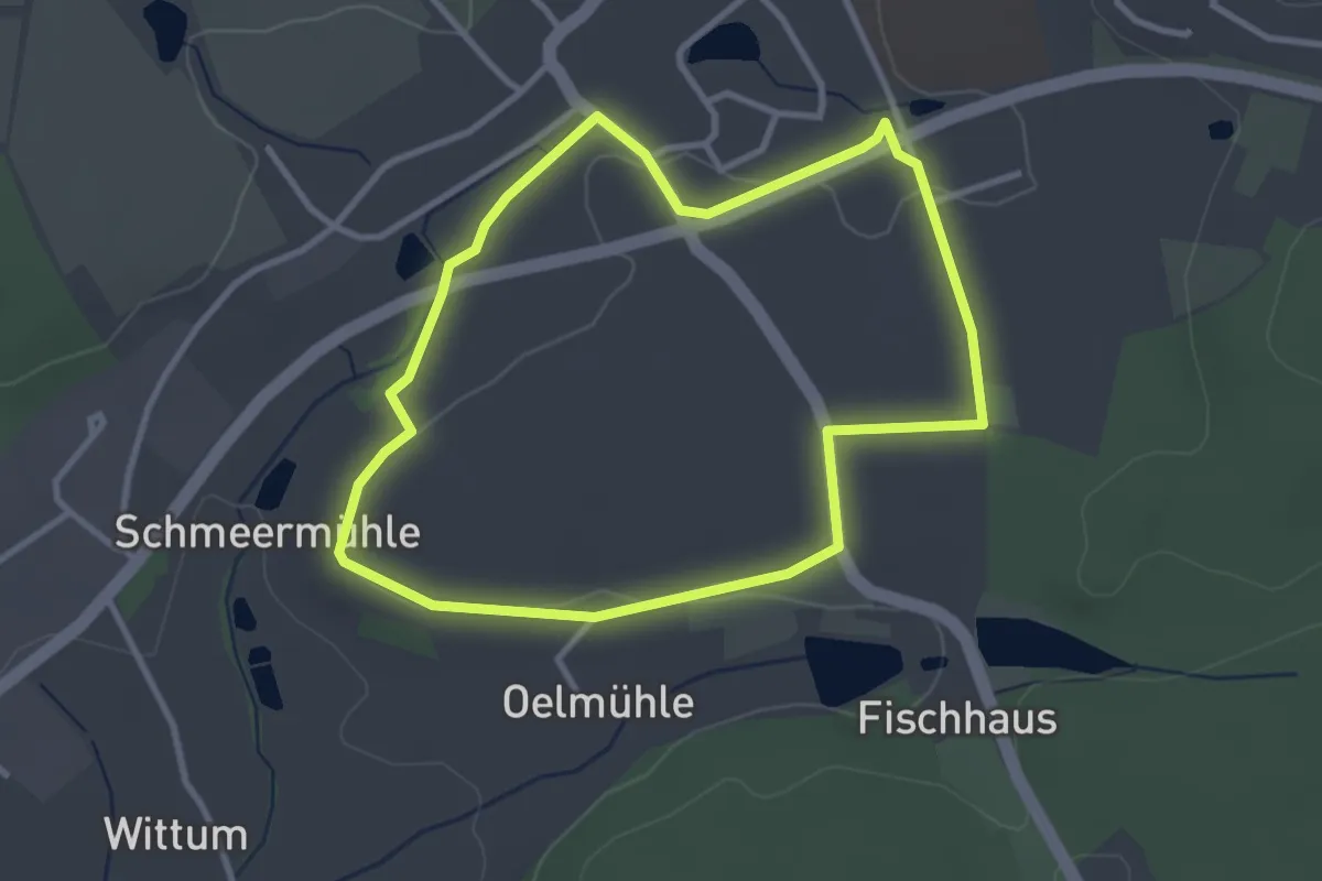
Easy · Summit
Milan
2.9 km · ↑ 34 m · 47 min
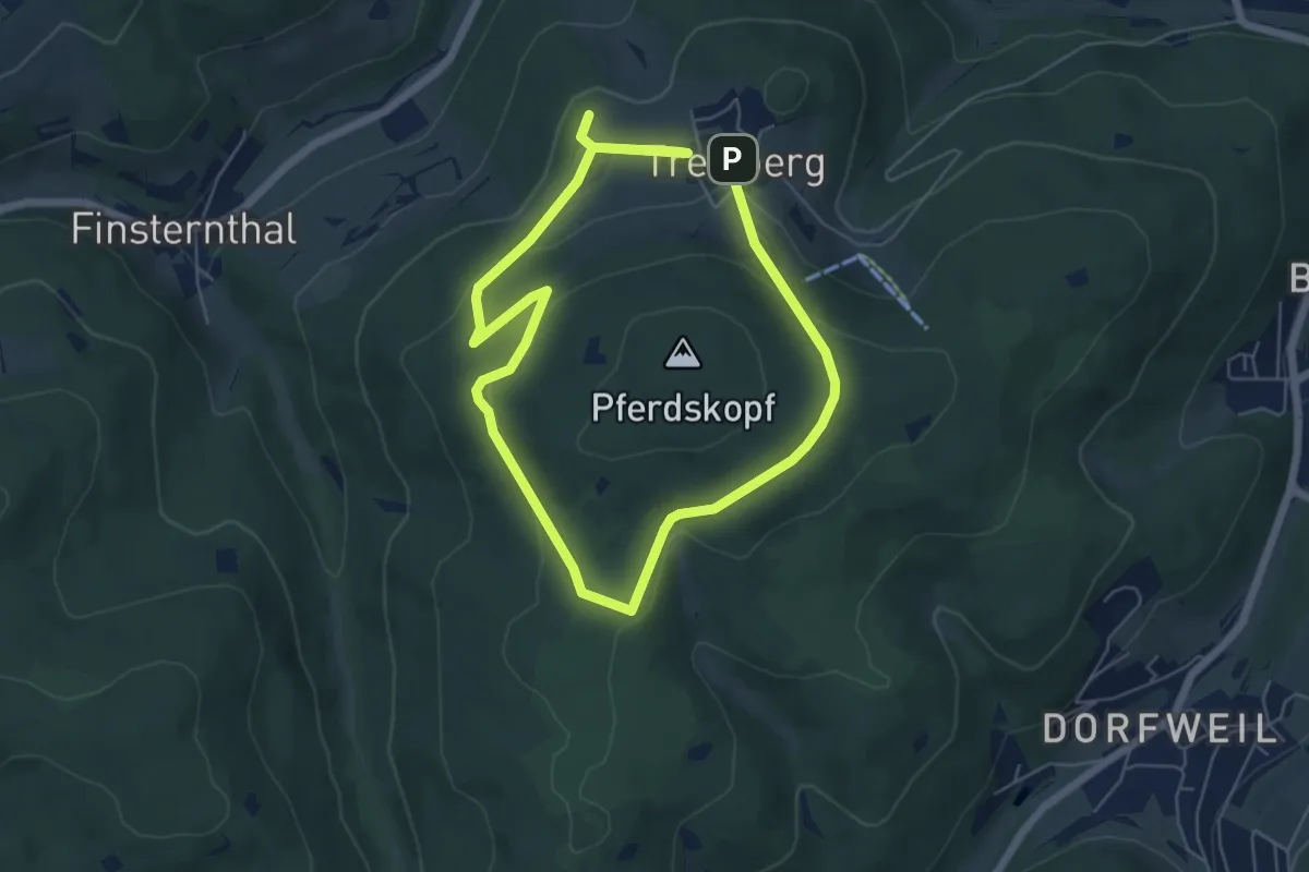
Medium · Trail
Milan
9.5 km · ↑ 280 m · 2 h 51 min
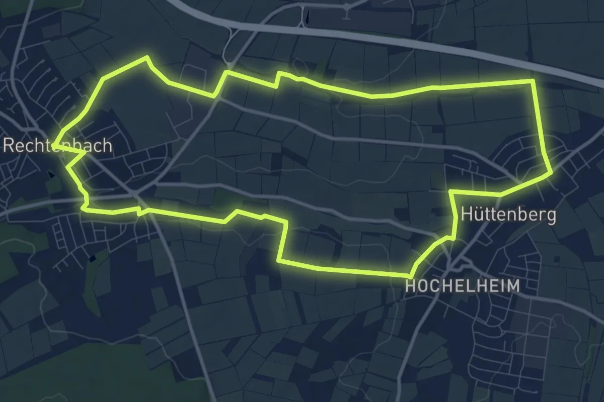
Medium · Trail
Milan Rechtenbach
10.1 km · ↑ 66 m · 2 h 41 min
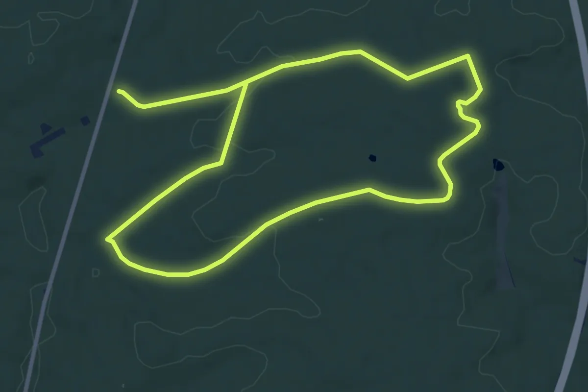
Easy · Trail
Milan rot
6.5 km · ↑ 99 m · 1 h 50 min
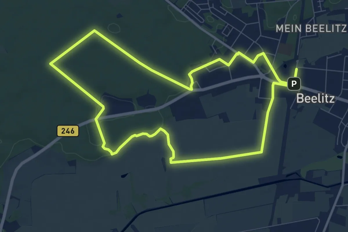
Easy · Trail
Milanrundweg
8.0 km · ↑ 34 m · 2 h 4 min
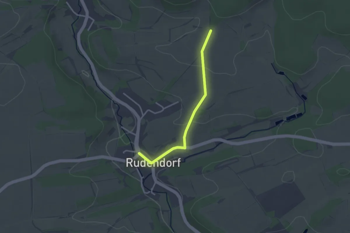
Easy · Trail
Milan-Wanderweg Rudendorf
2.3 km · ↑ 44 m · 38 min
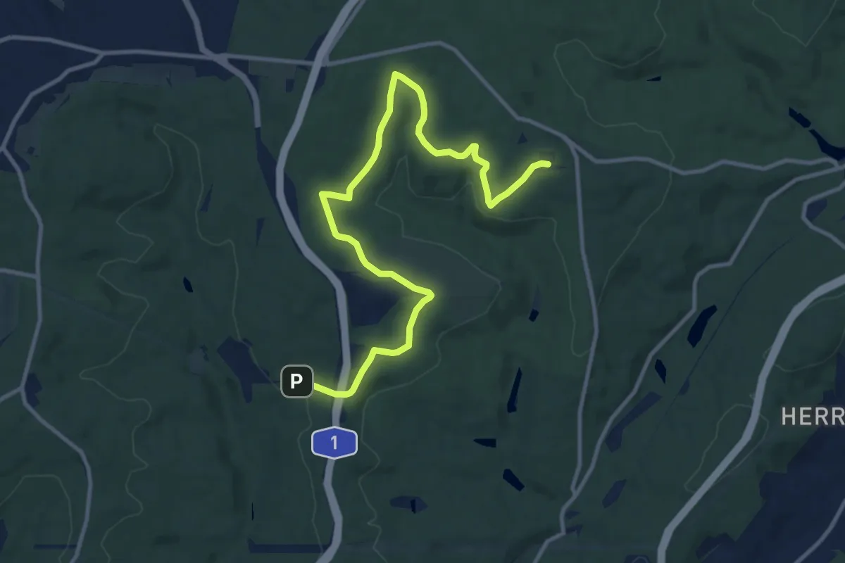
Medium · Summit
Milanweg
11.7 km · ↑ 265 m · 3 h 20 min
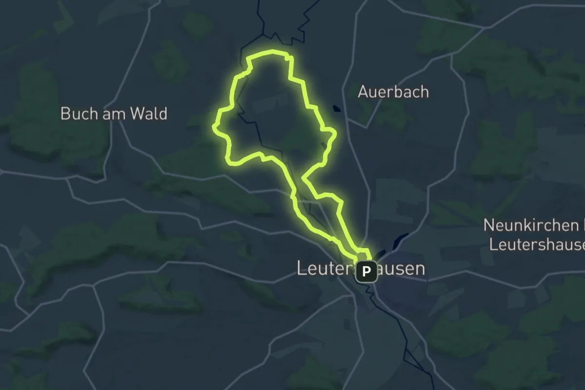
Medium · Trail
Milanweg Leutershausen
14.6 km · ↑ 127 m · 3 h 56 min
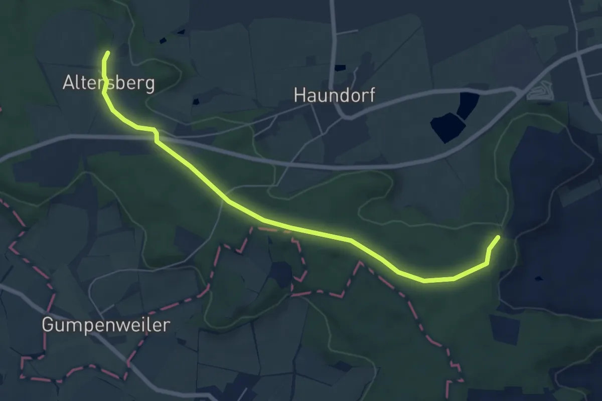
Easy · Trail
Milanweg Schnelldorf
3.1 km · ↑ 35 m · 50 min
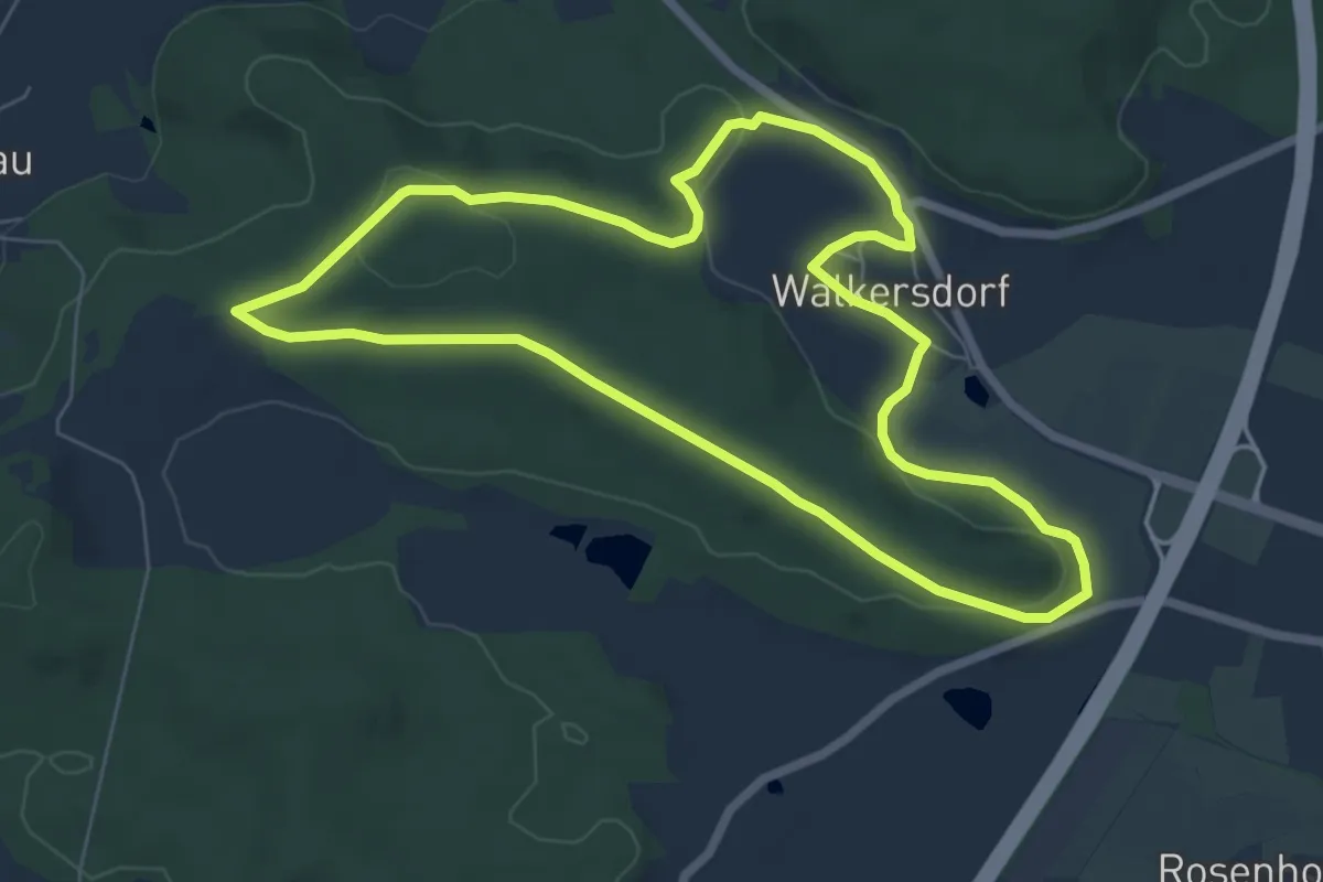
Easy · Summit
Milanweg Wörnitz (Walkersdorf Runde)
6.5 km · ↑ 111 m · 1 h 51 min