Trails in Germany
36,852 hiking trails, each with its route, climb, walking time and grade.
All trails, page 346 of 768
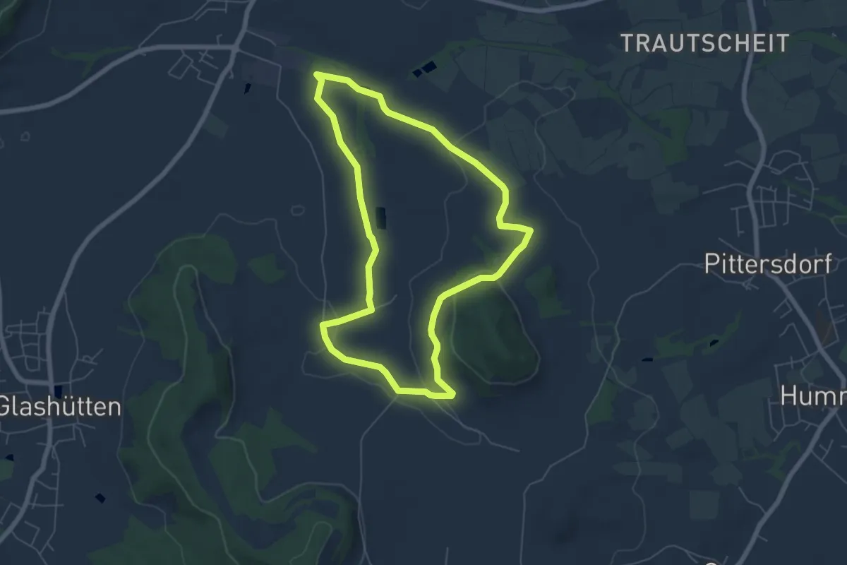
Easy · Trail
Mistelgau Rundwanderweg "Schobertsberg"
5.5 km · ↑ 88 m · 1 h 34 min
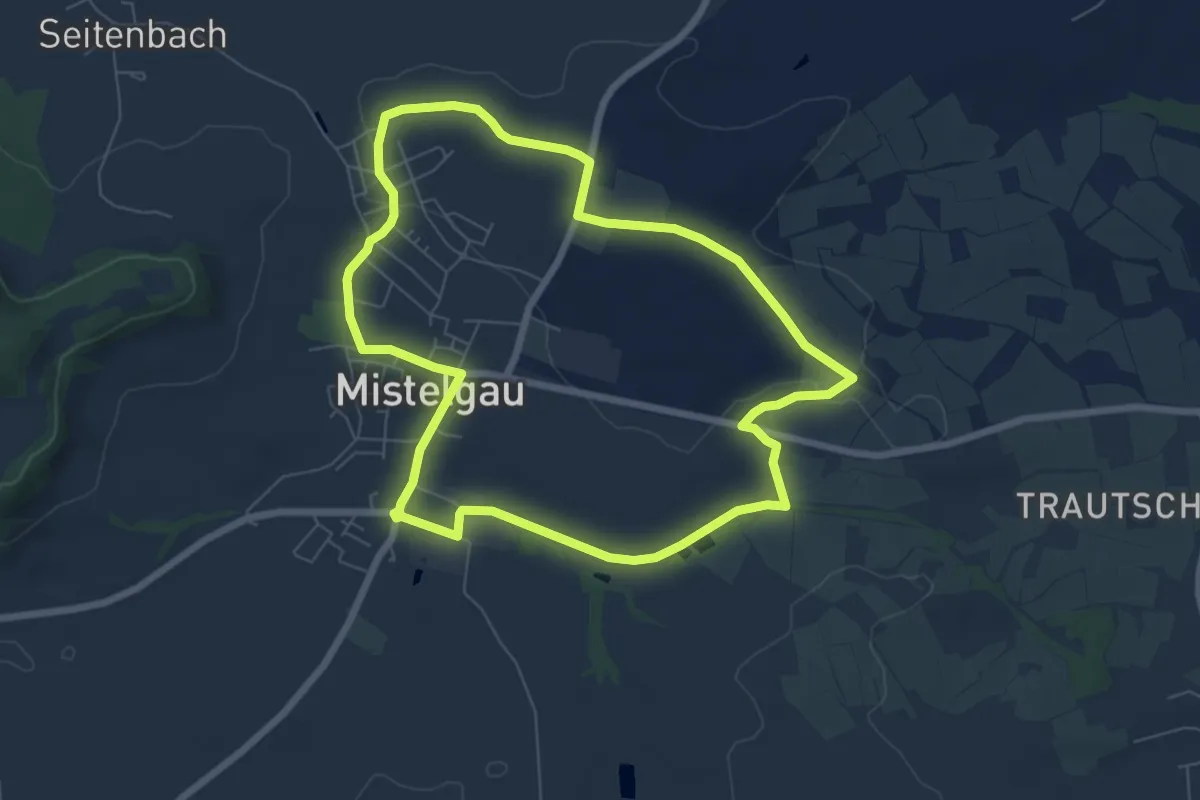
Easy · Trail
Mistelgau Rundwanderweg "Um Mistelgau"
6.4 km · ↑ 50 m · 1 h 43 min
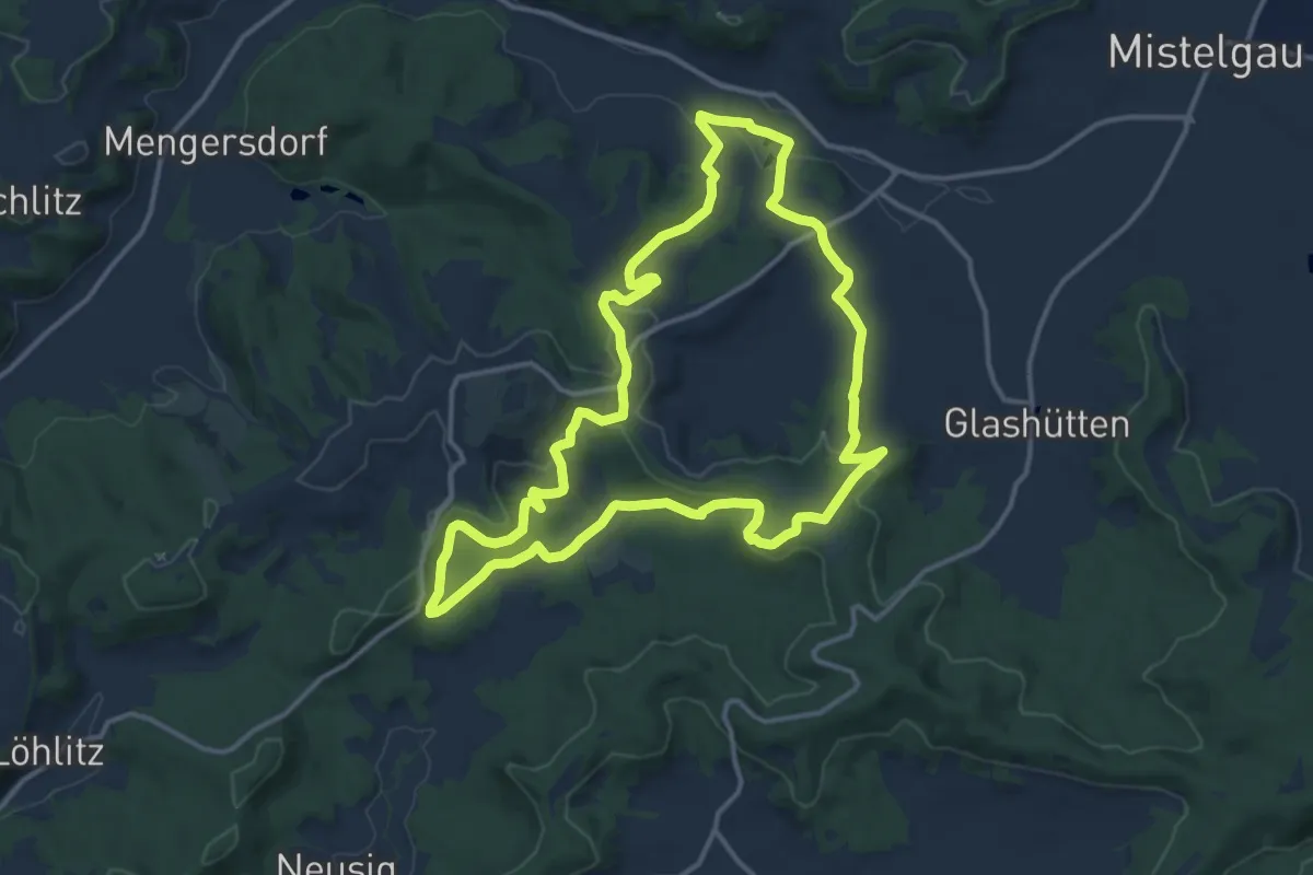
Medium · Summit
Mistelgau Zeubachtal-Rundweg
12.8 km · ↑ 297 m · 3 h 51 min
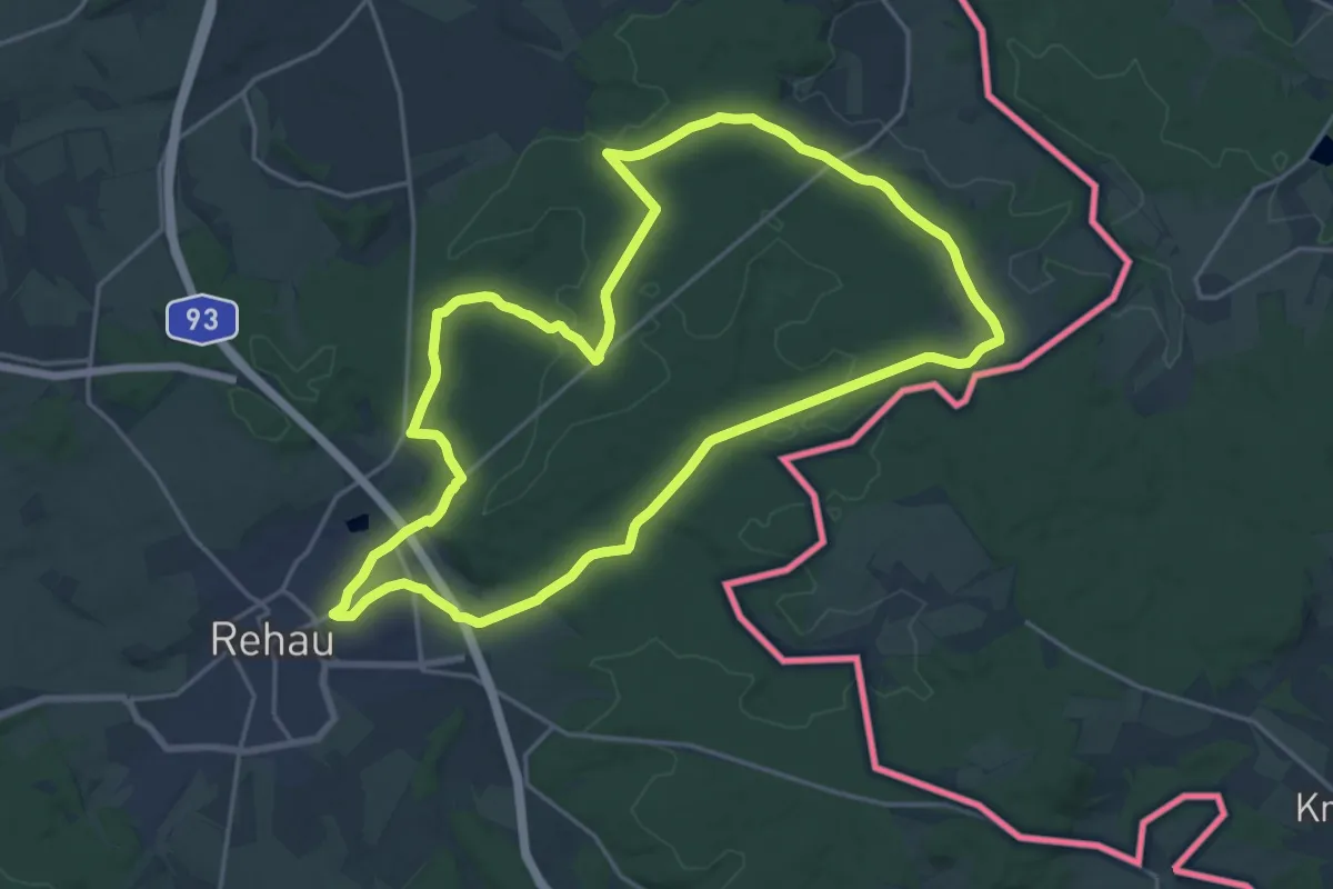
Demanding · Trail
Mit der Arnika in den Rehauer Forst
18.6 km · ↑ 210 m · 5 h 7 min
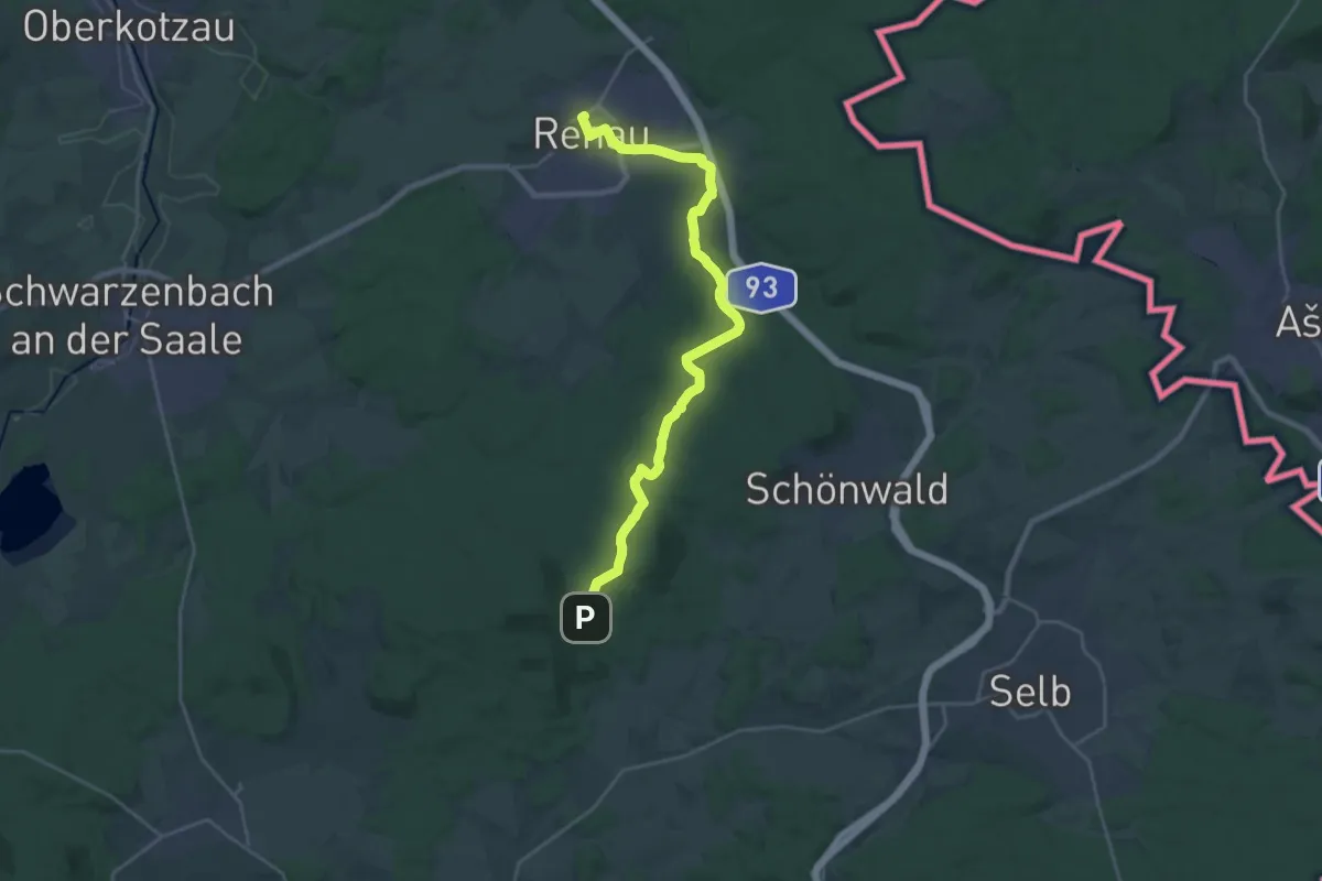
Demanding · Trail
Mit der Arnika zum Kornberg
23.3 km · ↑ 370 m · 6 h 18 min
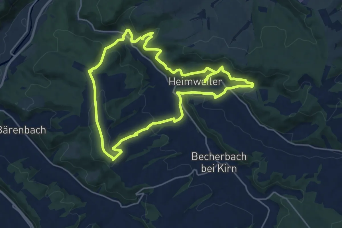
Medium · Trail
Mit Krebs un Karer unerwäschs
12.6 km · ↑ 568 m · 4 h 21 min
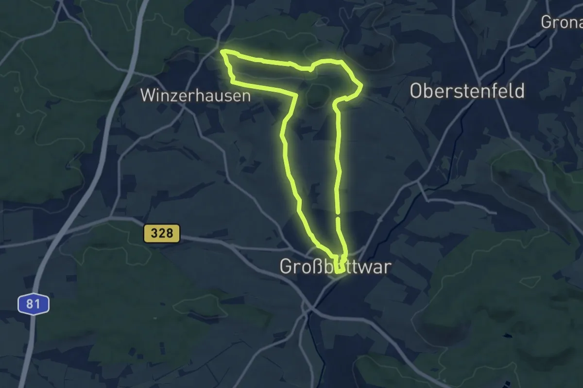
Medium · Summit
Mittelalter, Fachwerk und Wein
9.7 km · ↑ 190 m · 2 h 50 min
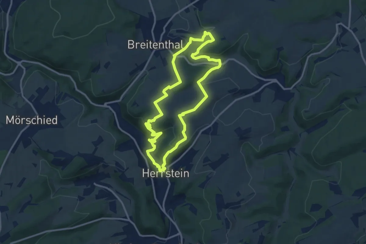
Medium · Summit
Mittelalterpfad
8.3 km · ↑ 286 m · 2 h 42 min
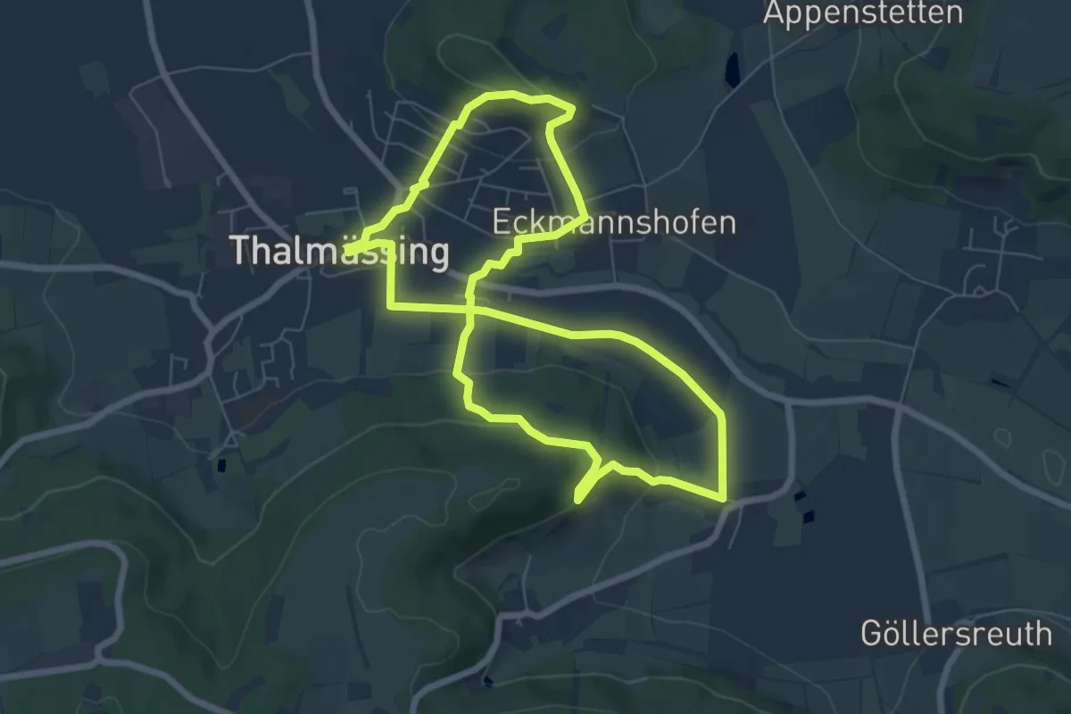
Easy · Trail
Mittelalterweg
6.4 km · ↑ 204 m · 2 h 2 min
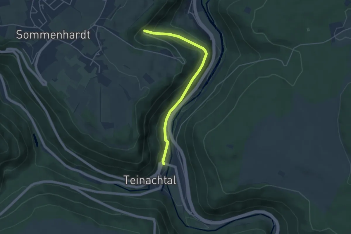
Easy · Trail
Mittelbach - Bahnhof Bad Teinach
3.8 km · ↑ 187 m · 1 h 18 min
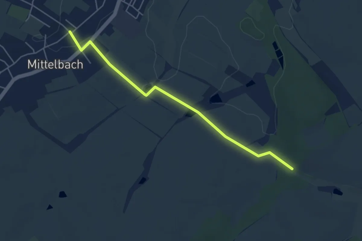
Easy · Trail
Mittelbach-Neukirchen
4.0 km · ↑ 24 m · 1 h
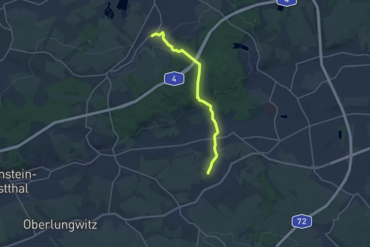
Medium · Trail
Mittelbach-Pleißa
11.4 km · ↑ 198 m · 3 h 7 min
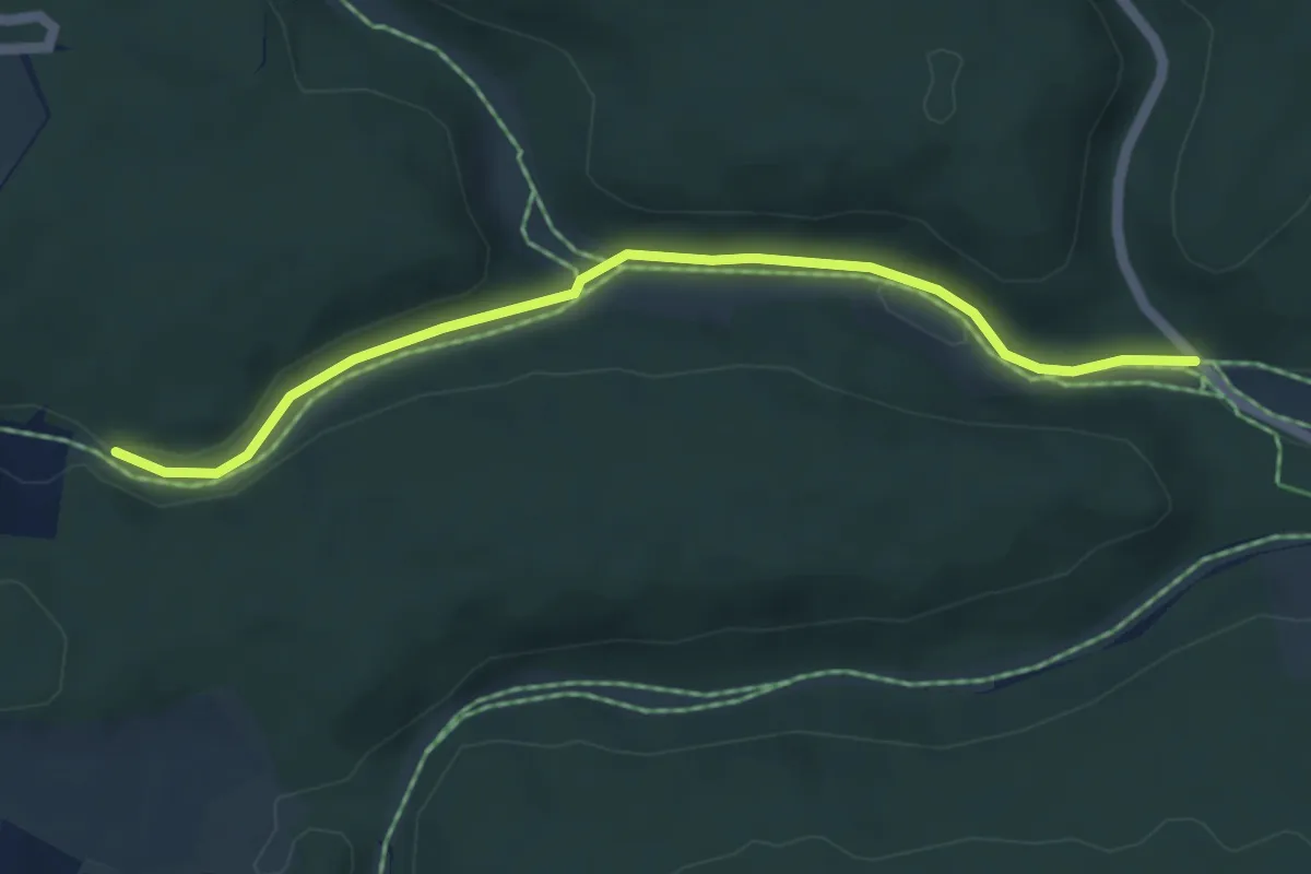
Easy · Trail
Mittelberg
2.4 km · ↑ 46 m · 41 min
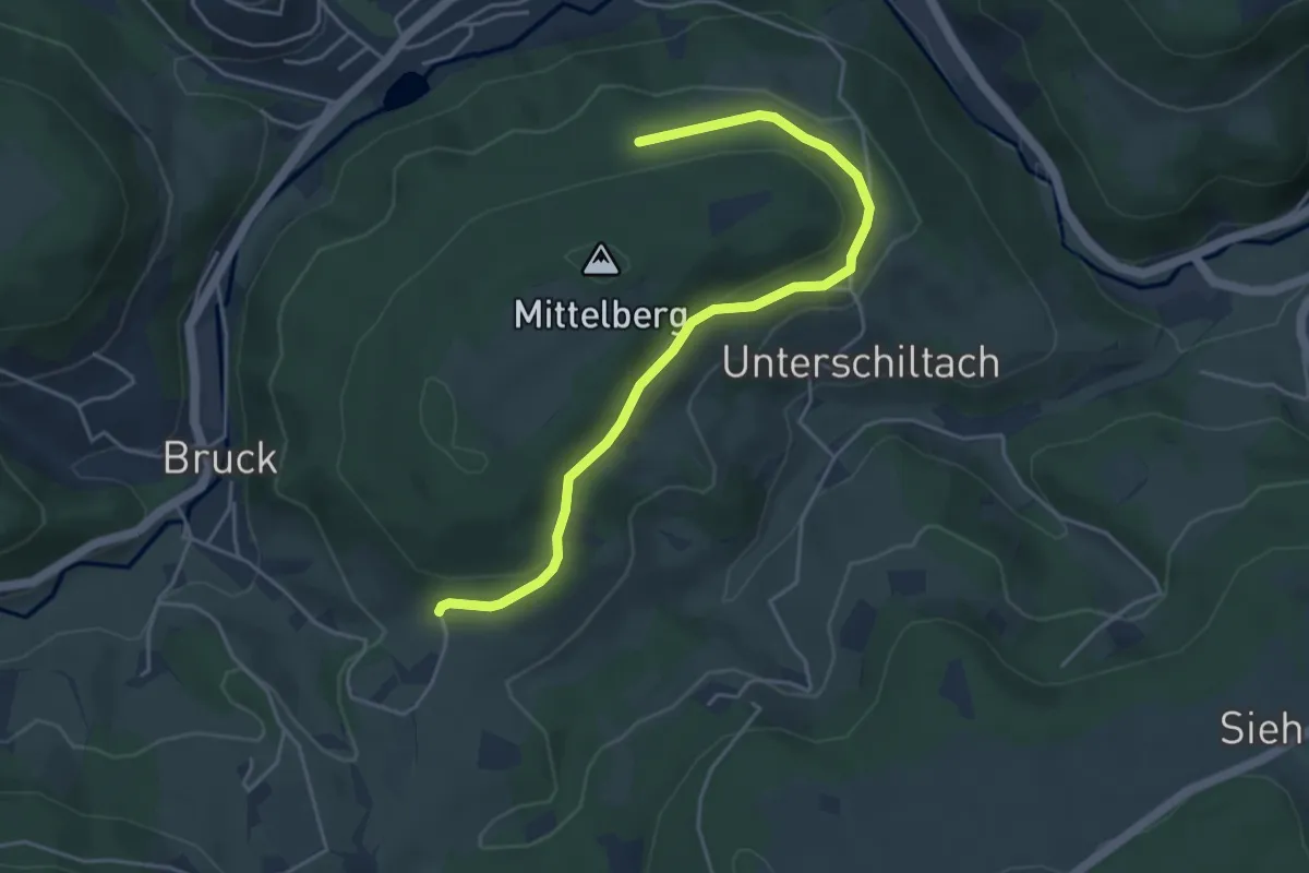
Easy · Trail
Mittelberg - Beim Kohlplatz
4.6 km · ↑ 84 m · 1 h 17 min
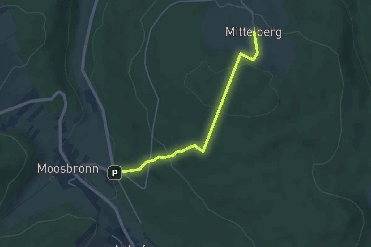
Easy · Trail
Mittelberg - Oberes Moosalbtal
3.4 km · ↑ 149 m · 1 h 8 min
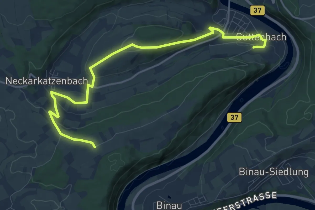
Easy · Trail
Mittelberg-Weg
5.7 km · ↑ 216 m · 1 h 50 min
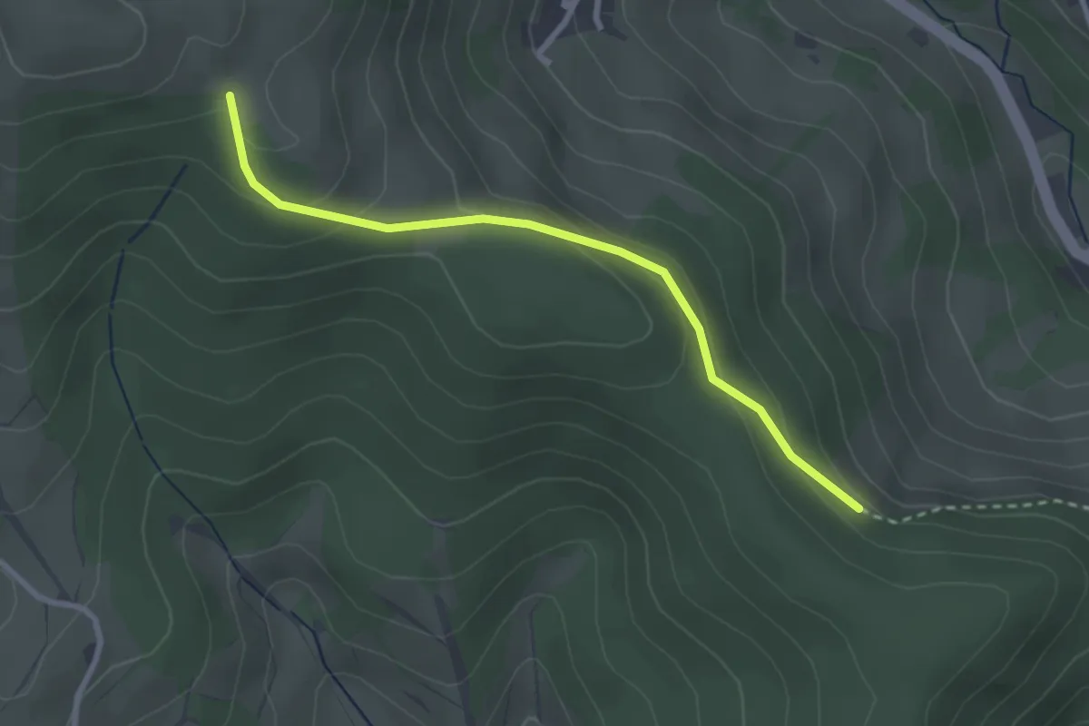
Easy · Trail
Mittelbühl - Ochsenberg
2.7 km · ↑ 151 m · 57 min
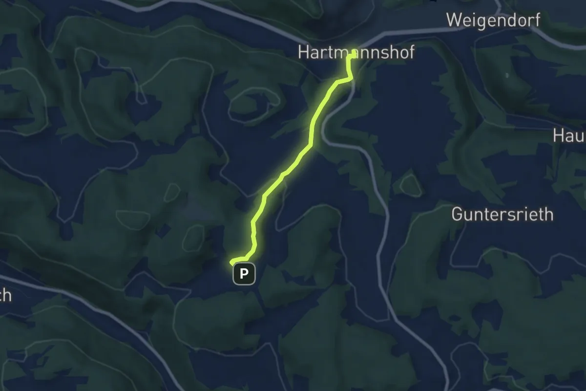
Easy · Trail
Mittelburg-Hartmannshof
5.4 km · ↑ 220 m · 1 h 45 min
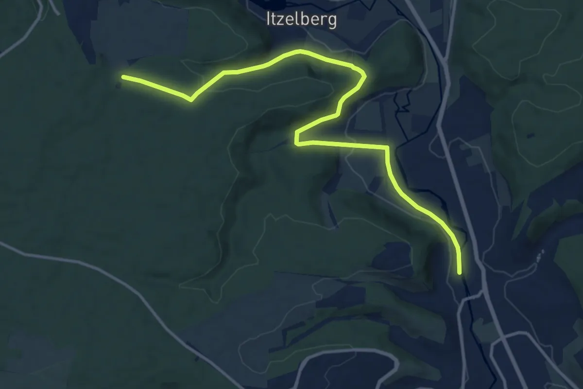
Medium · Trail
Mittelburren - Brünneleskopf - Schnaitheim
12.2 km · ↑ 217 m · 3 h 21 min
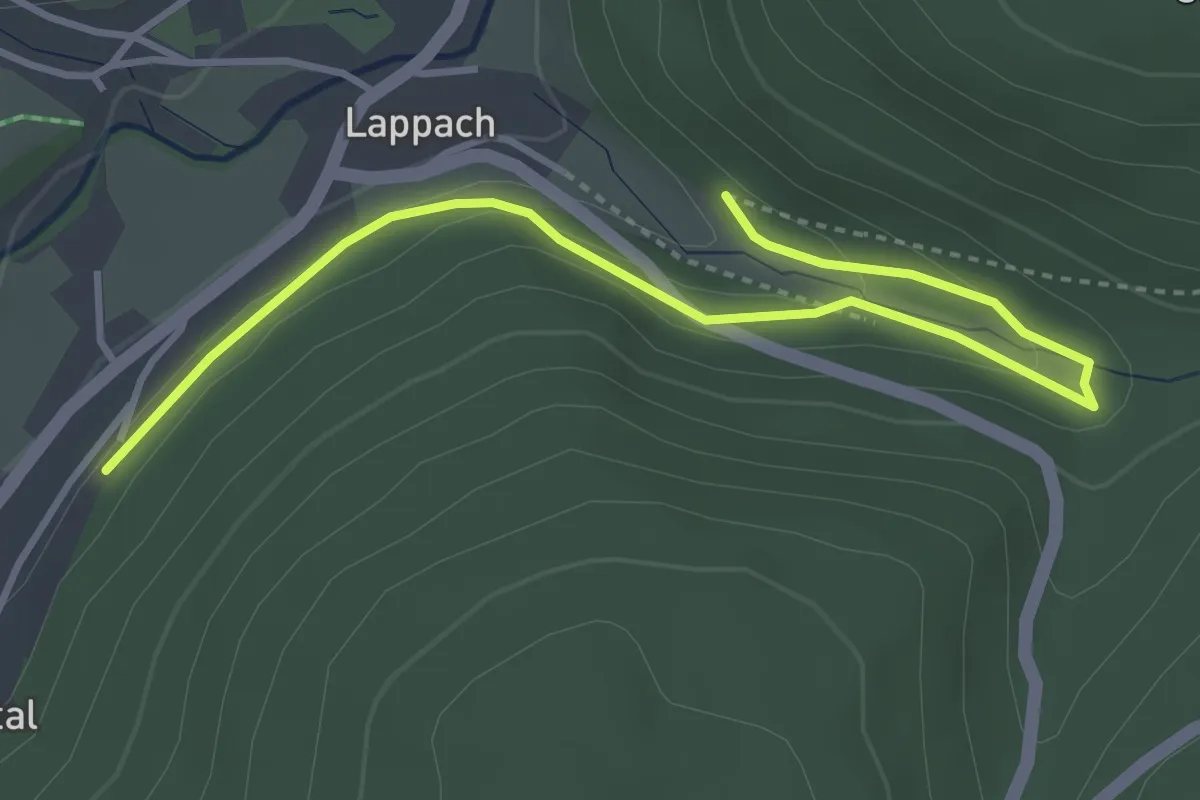
Easy · Trail
Mittelenztal - Schöllkopfsteige
4.0 km · ↑ 118 m · 1 h 13 min
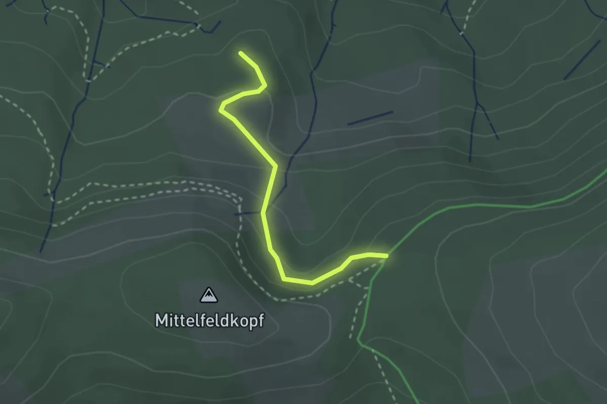
Easy · Trail
Mittelfeldhütte - Herrenwieser Sattel
2.2 km · ↑ 108 m · 45 min
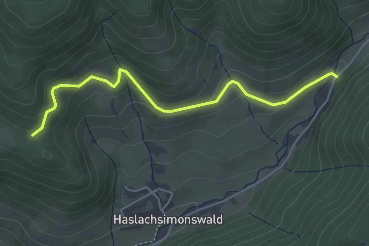
Easy · Trail
Mittelhaslach - Elme
3.8 km · ↑ 178 m · 1 h 17 min
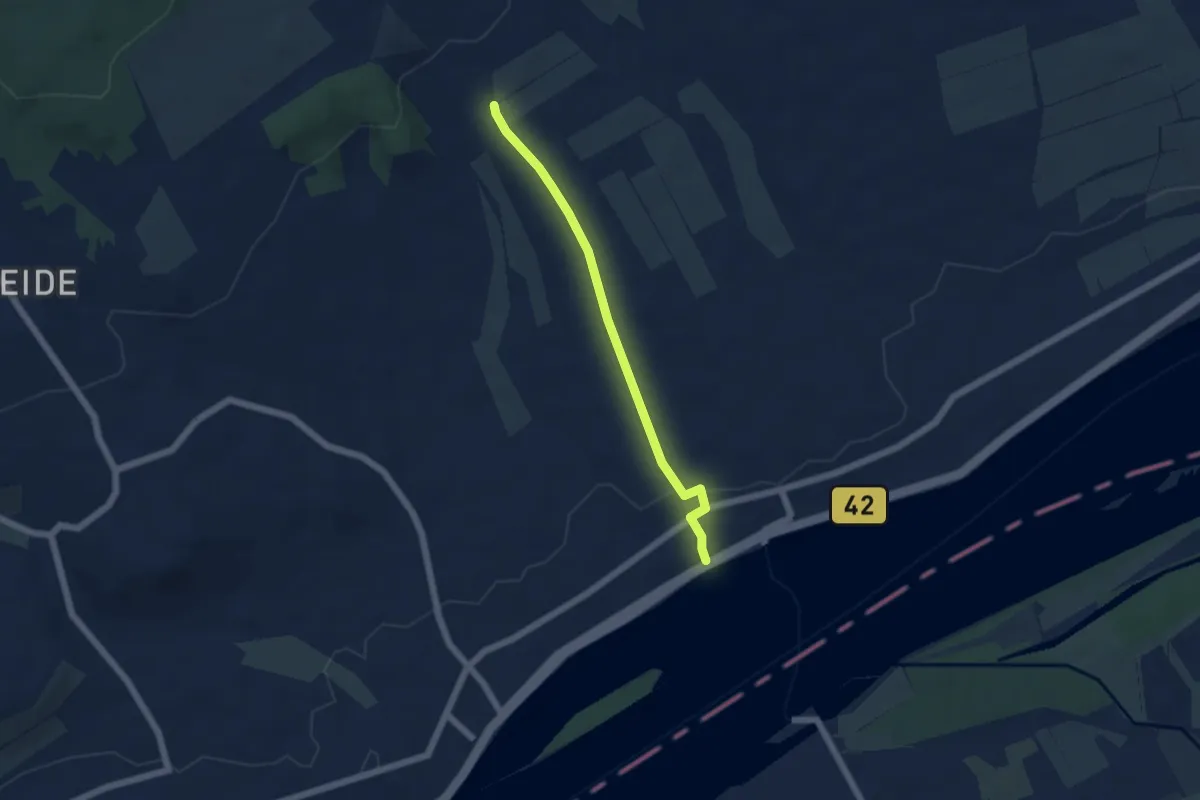
Easy · Trail
Mittelheimer Flötenweg
4.4 km · ↑ 97 m · 1 h 15 min
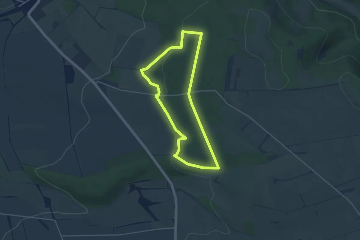
Easy · Trail
Mittelholz
3.0 km · ↑ 60 m · 53 min
Easy · Trail
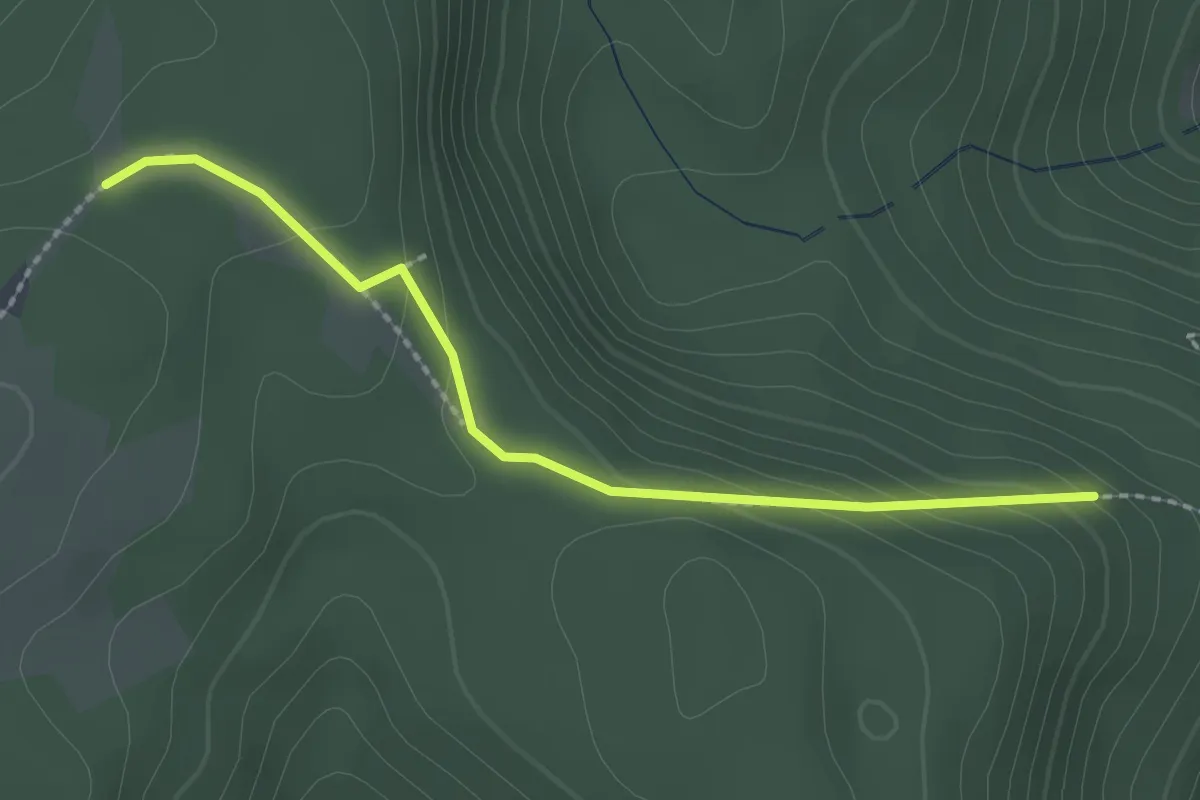
Mittelkopf - Rehgeissennest
2.1 km · ↑ 97 m · 43 min
Easy · Trail
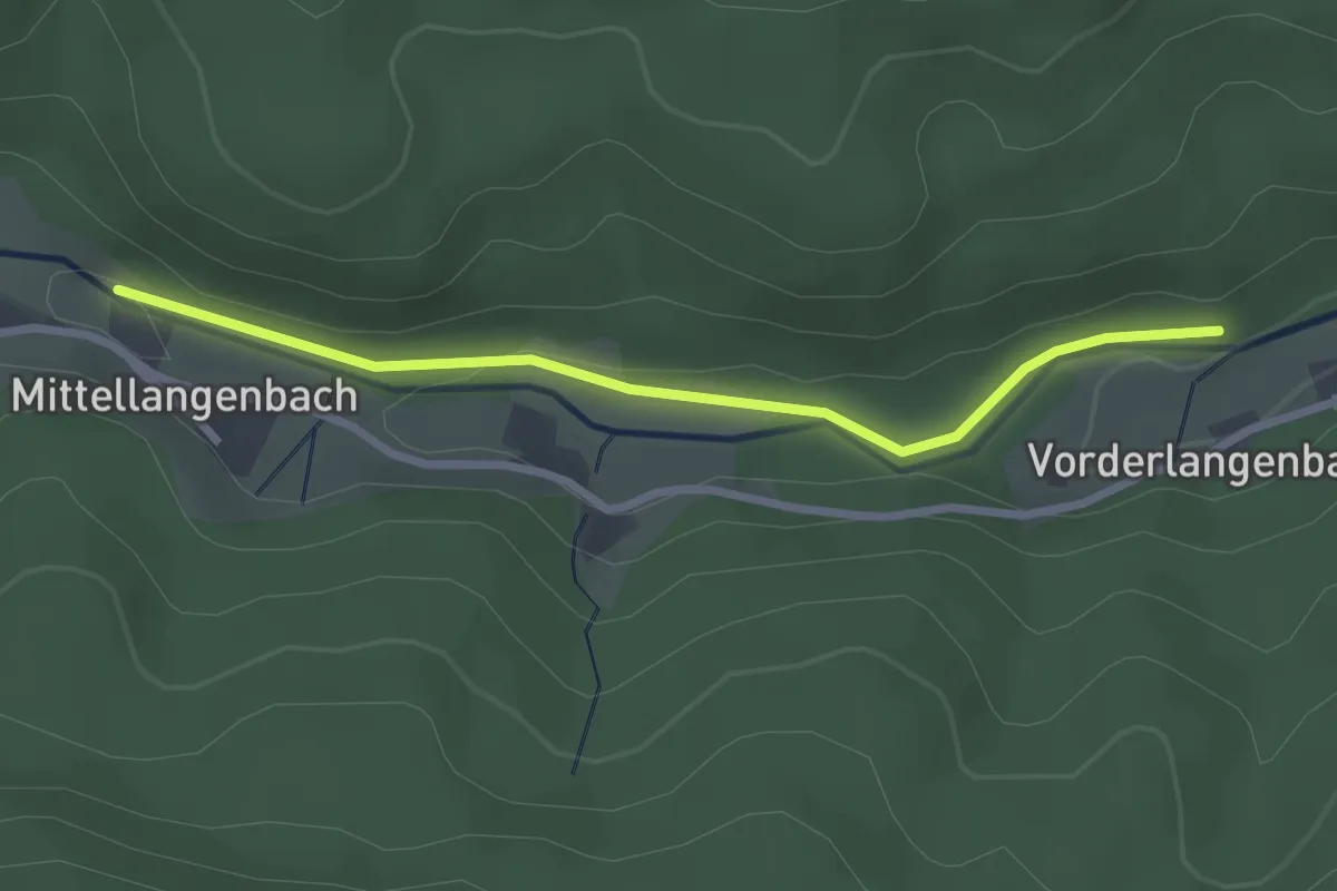
Mittellangenbach - Vorderlangenbach
2.5 km · ↑ 44 m · 41 min
Medium · Summit
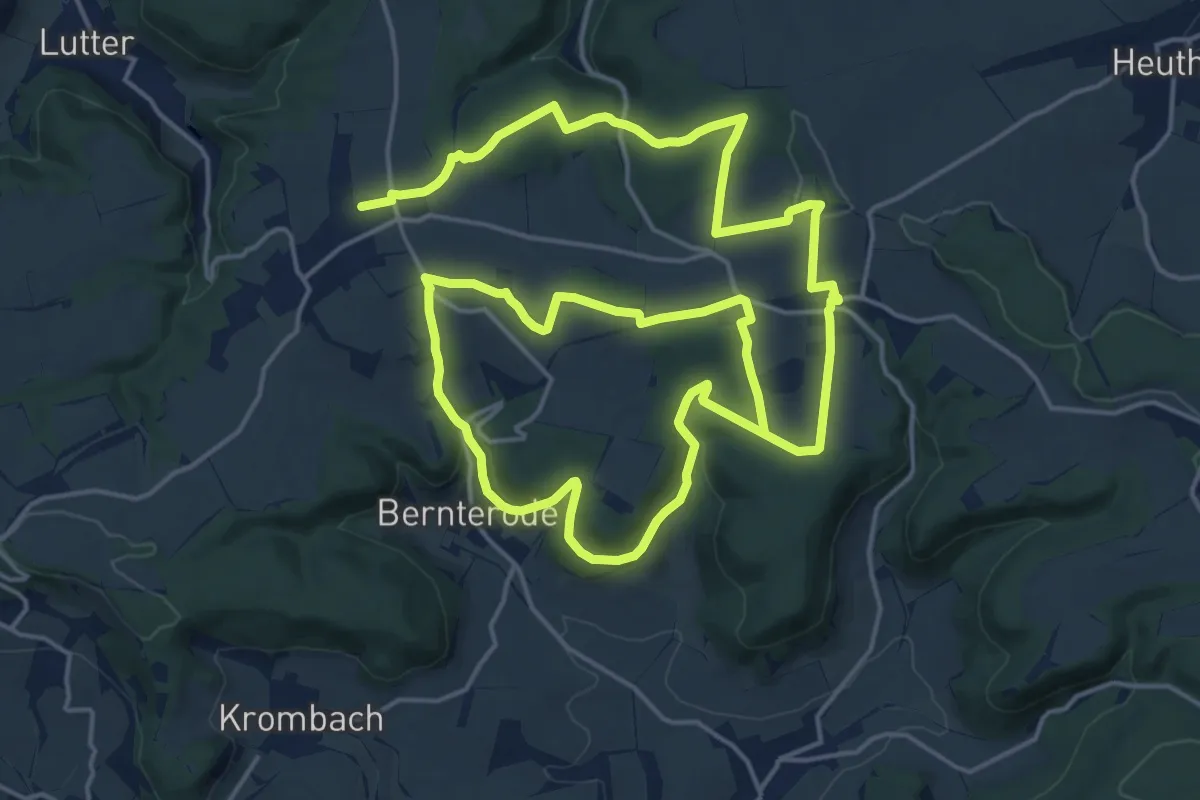
Mittelpunkt Deutschlands Flinsberg
16.1 km · ↑ 330 m · 4 h 44 min
Easy · Trail
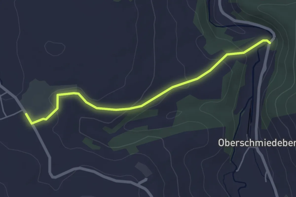
Mittelschmiedeberg-Arnsfeld
4.1 km · ↑ 98 m · 1 h 11 min
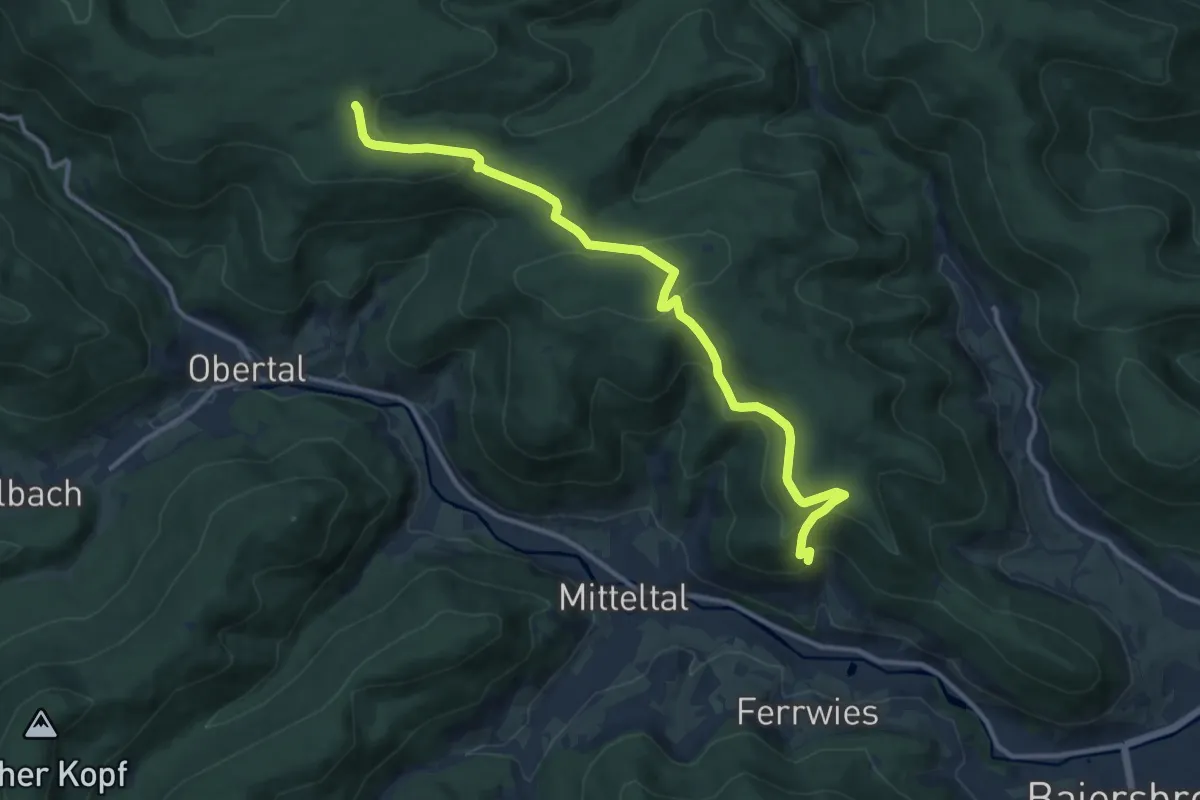
Medium · Trail
Mitteltal - Dreirevierstein
12.0 km · ↑ 450 m · 3 h 49 min
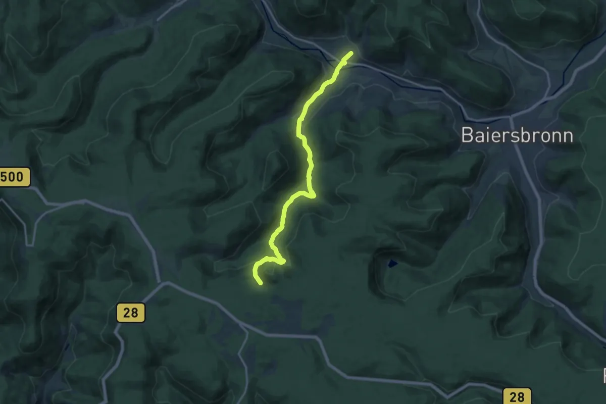
Medium · Trail
Mitteltal - Kniebis
13.0 km · ↑ 460 m · 4 h 4 min
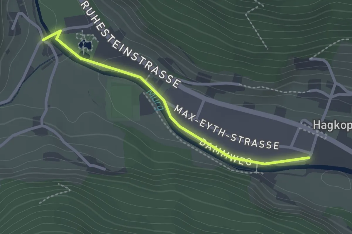
Easy · Trail
Mitteltal Schwimmbad - Siehdichfür
2.1 km · ↑ 17 m · 32 min
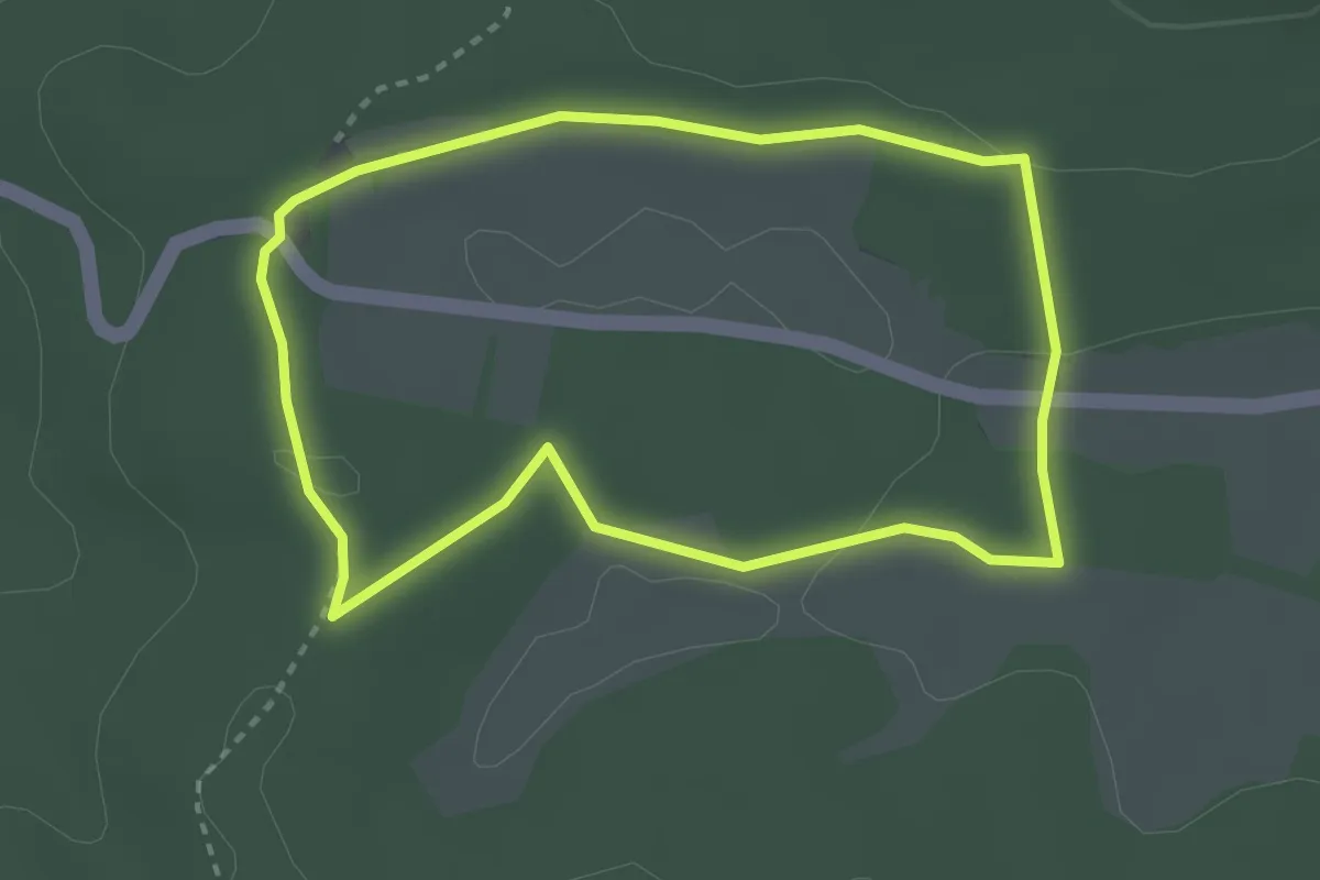
Easy · Trail
Mittelwaldweg
2.7 km · ↑ 30 m · 44 min
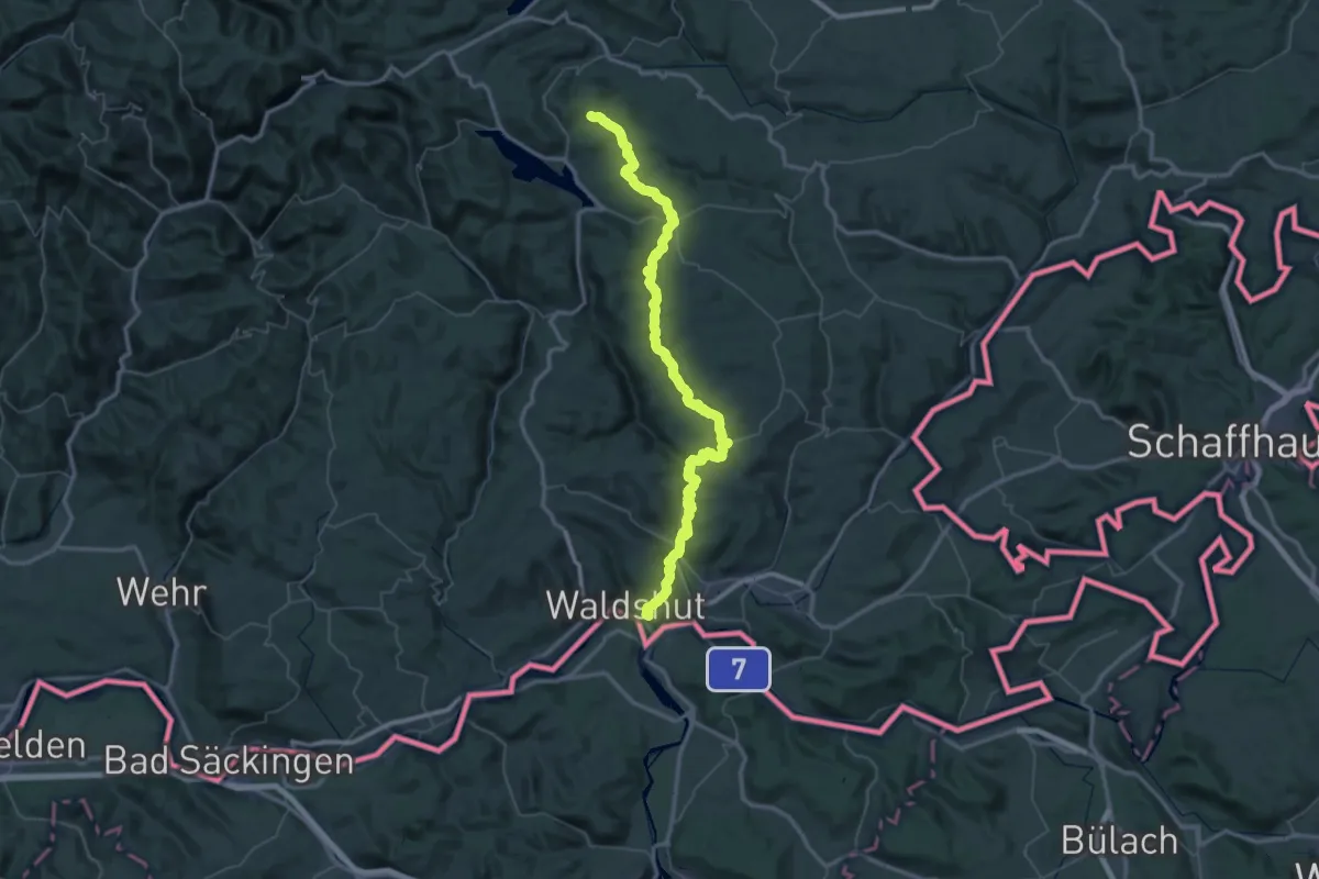
Demanding · Summit
Mittelweg (östliche Variante)
73.7 km · ↑ 2097 m · 21 h 56 min
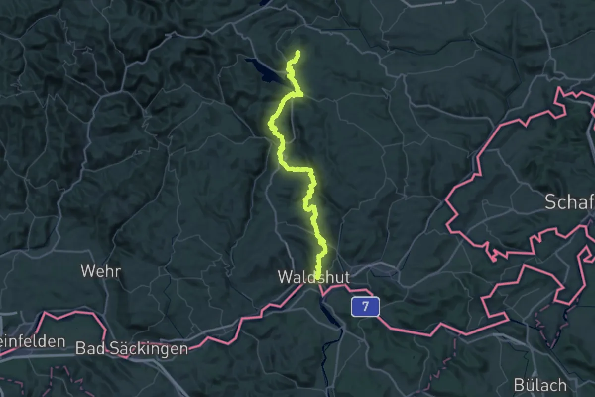
Demanding · Trail
Mittelweg (westliche Variante)
39.8 km · ↑ 1003 m · 12 h 30 min
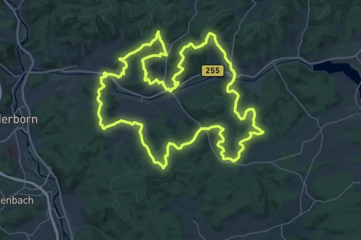
Demanding · Summit
Mittenaar 2010
30.3 km · ↑ 918 m · 9 h 34 min
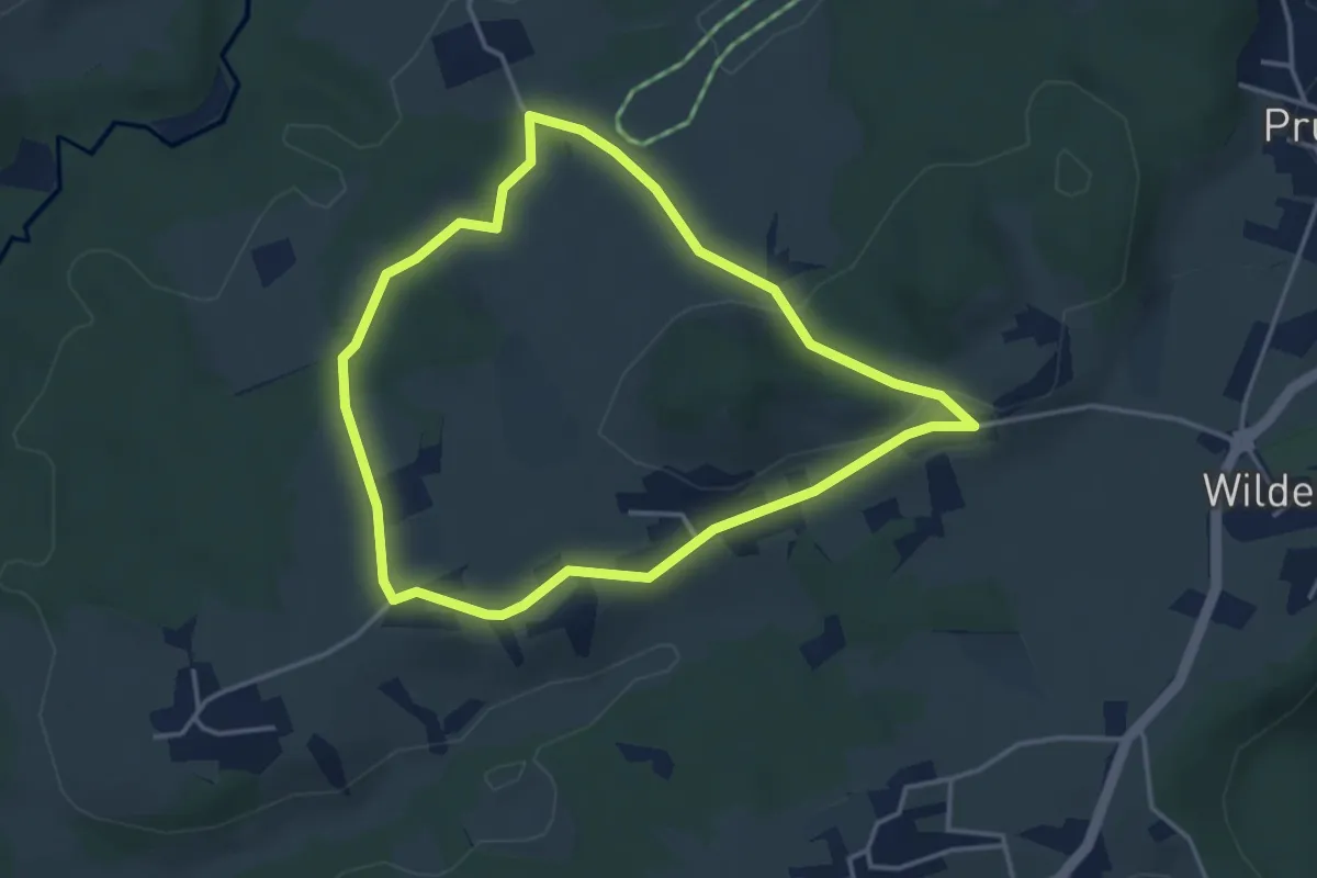
Easy · Trail
Mitterreiter-Runde
3.6 km · ↑ 68 m · 1 h 3 min
Easy · Trail
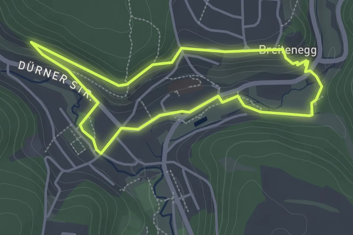
Mit Tilly im Gepäck
2.8 km · ↑ 66 m · 50 min
Medium · Trail
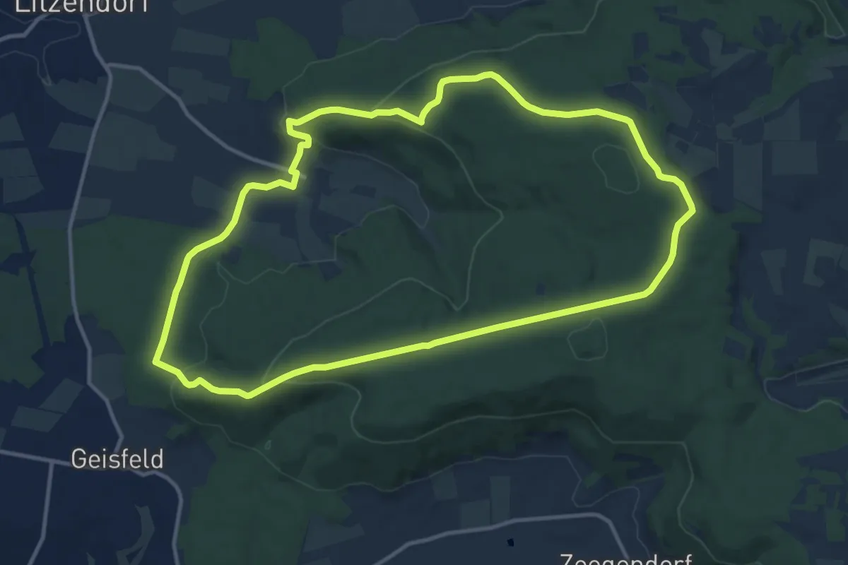
Mittlere Geisbergtour
11.1 km · ↑ 289 m · 3 h 23 min
Easy · Trail
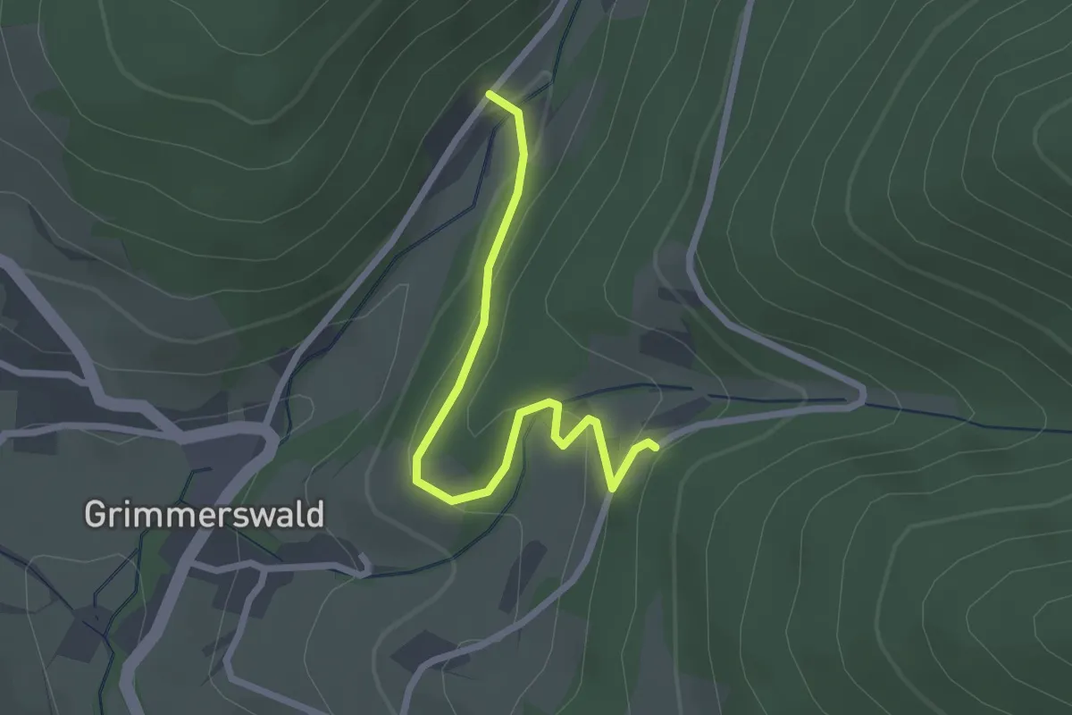
Mittlere Legelsau - Busterbach
2.3 km · ↑ 87 m · 44 min
Medium · Trail
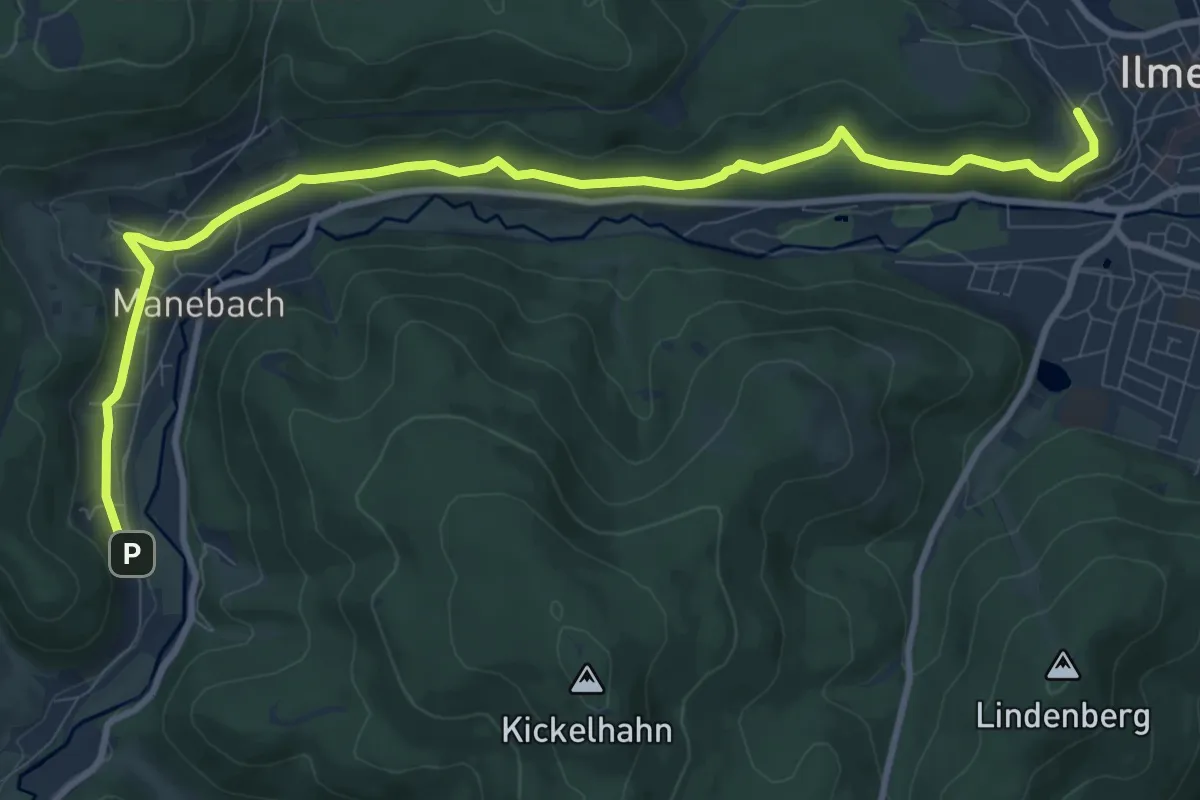
Mittlerer Berggrabenweg
11.0 km · ↑ 227 m · 3 h 5 min
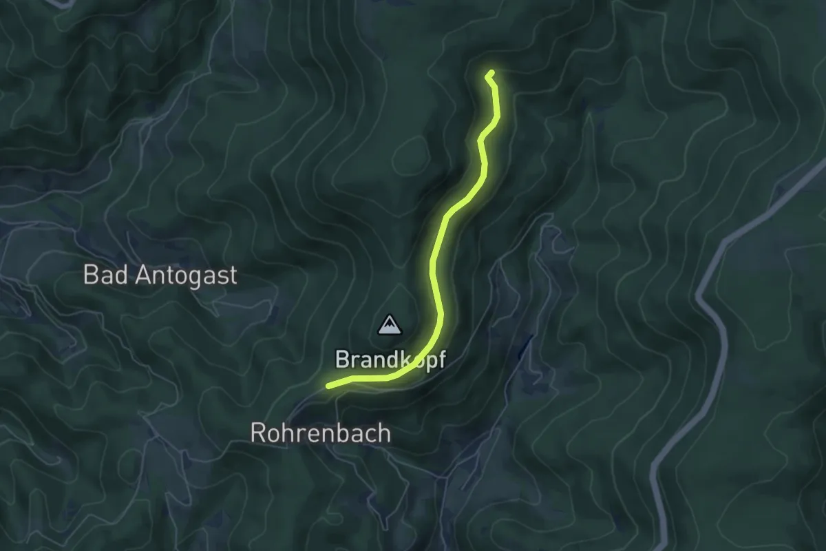
Easy · Trail
Mittlerer Brandweg - Renchtalhütte
4.7 km · ↑ 160 m · 1 h 27 min
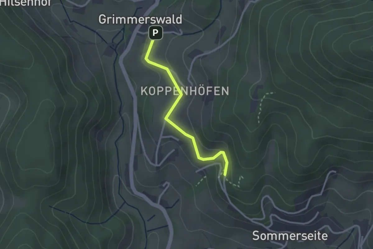
Easy · Trail
Mittlerer Busterbach - Oberes Silbergründle
2.2 km · ↑ 88 m · 43 min
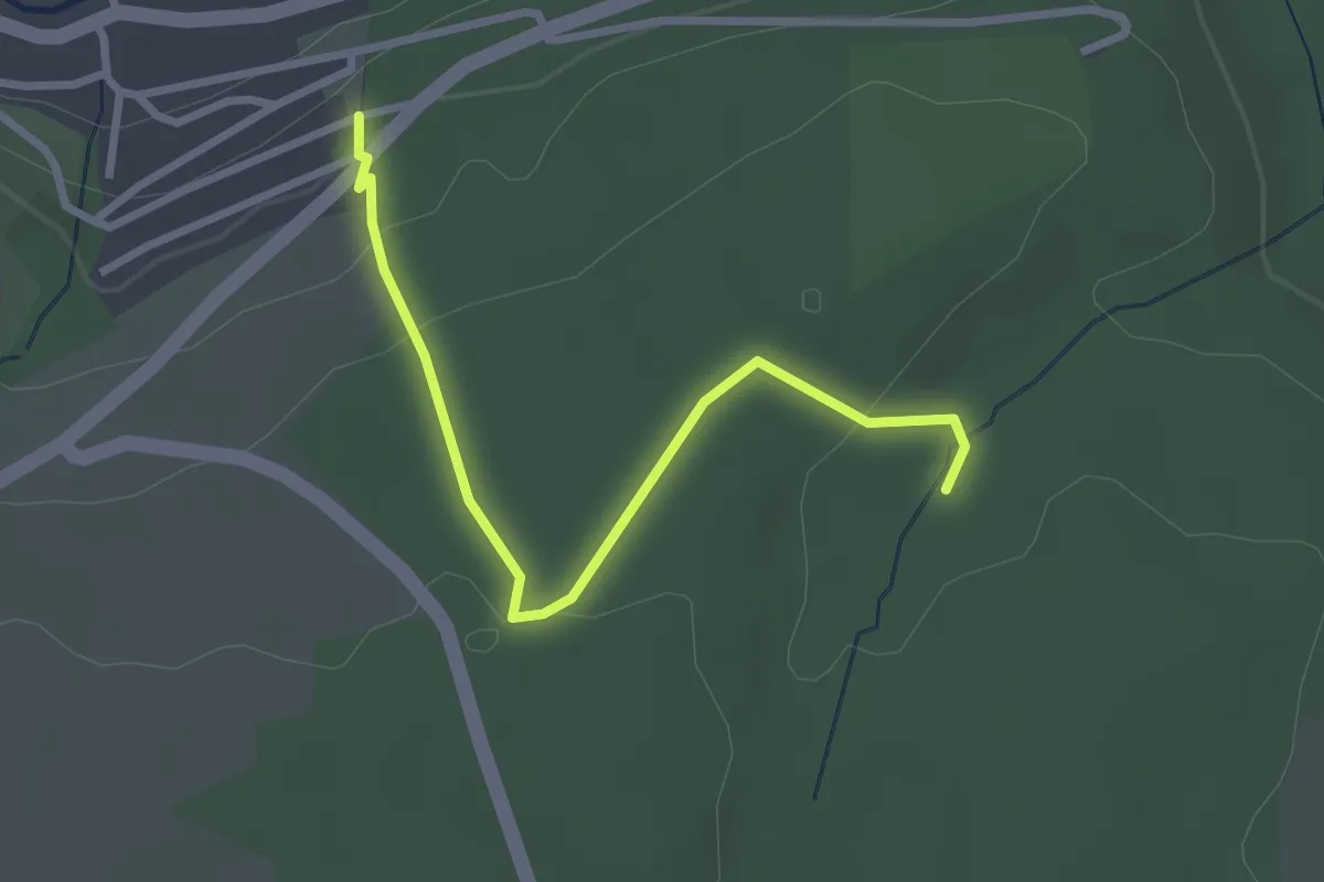
Easy · Trail
Mittlere Reute - Alter Bernecker Weg
2.7 km · ↑ 98 m · 52 min
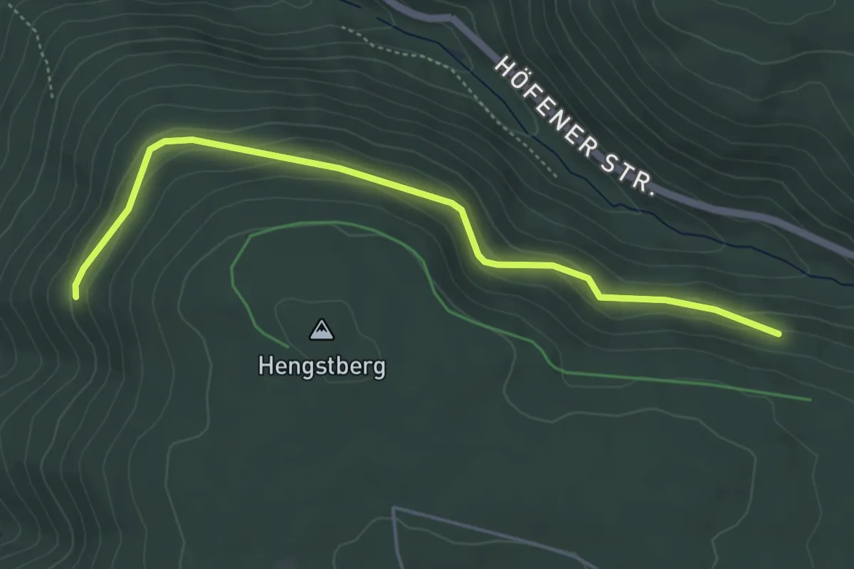
Easy · Trail
Mittlerer Förtelberg - Hengstberg
4.8 km · ↑ 147 m · 1 h 27 min
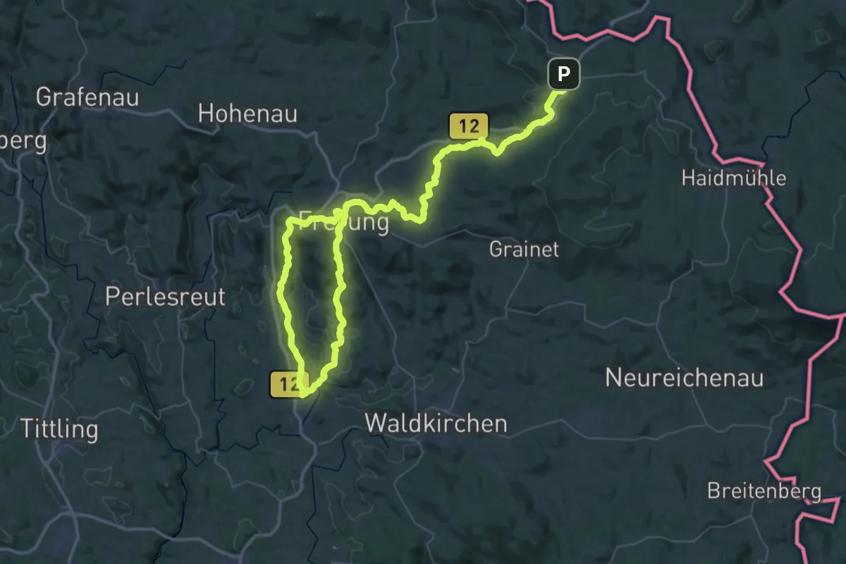
Demanding · Trail
Mittlerer Goldener Steig
37.1 km · ↑ 867 m · 11 h 19 min
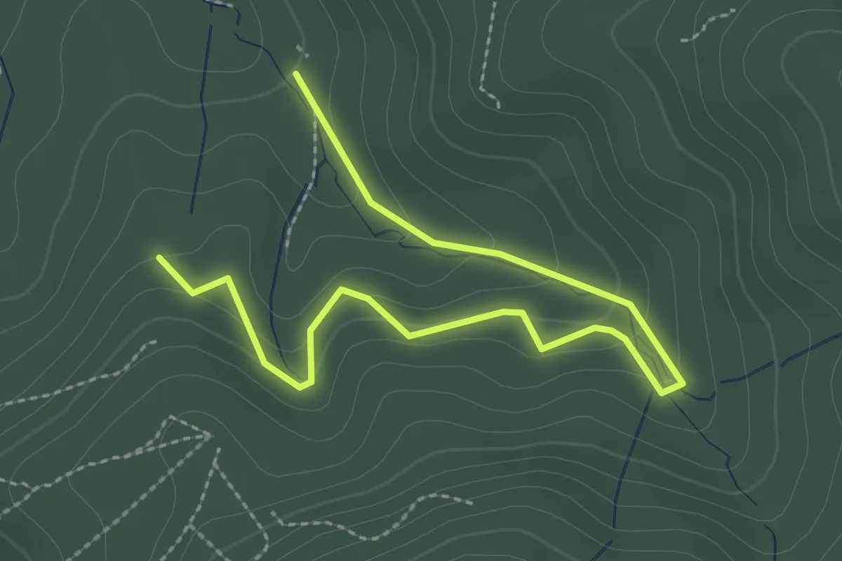
Easy · Trail
Mittlerer Kahler Bach - Trimmdichpfad
3.1 km · ↑ 172 m · 1 h 6 min
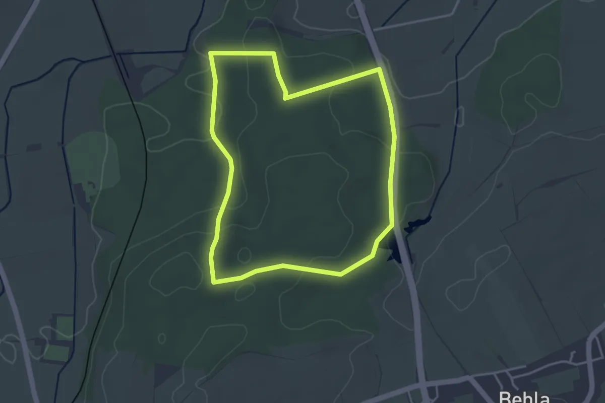
Easy · Trail
Mittlerer Rundweg
3.3 km · ↑ 69 m · 58 min
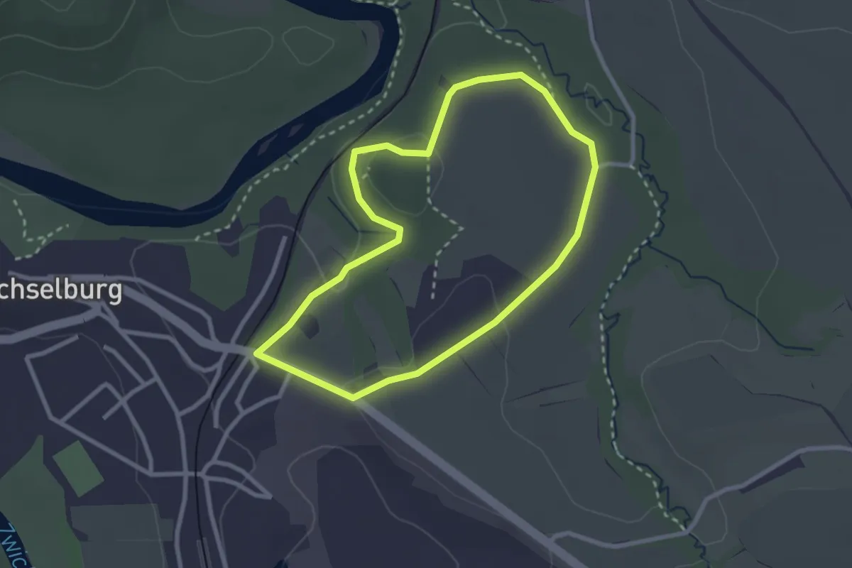
Easy · Trail
Mittlerer Rundweg Burgstall Wechselburg
2.3 km · ↑ 41 m · 39 min