Trails in Germany
36,852 hiking trails, each with its route, climb, walking time and grade.
All trails, page 350 of 768
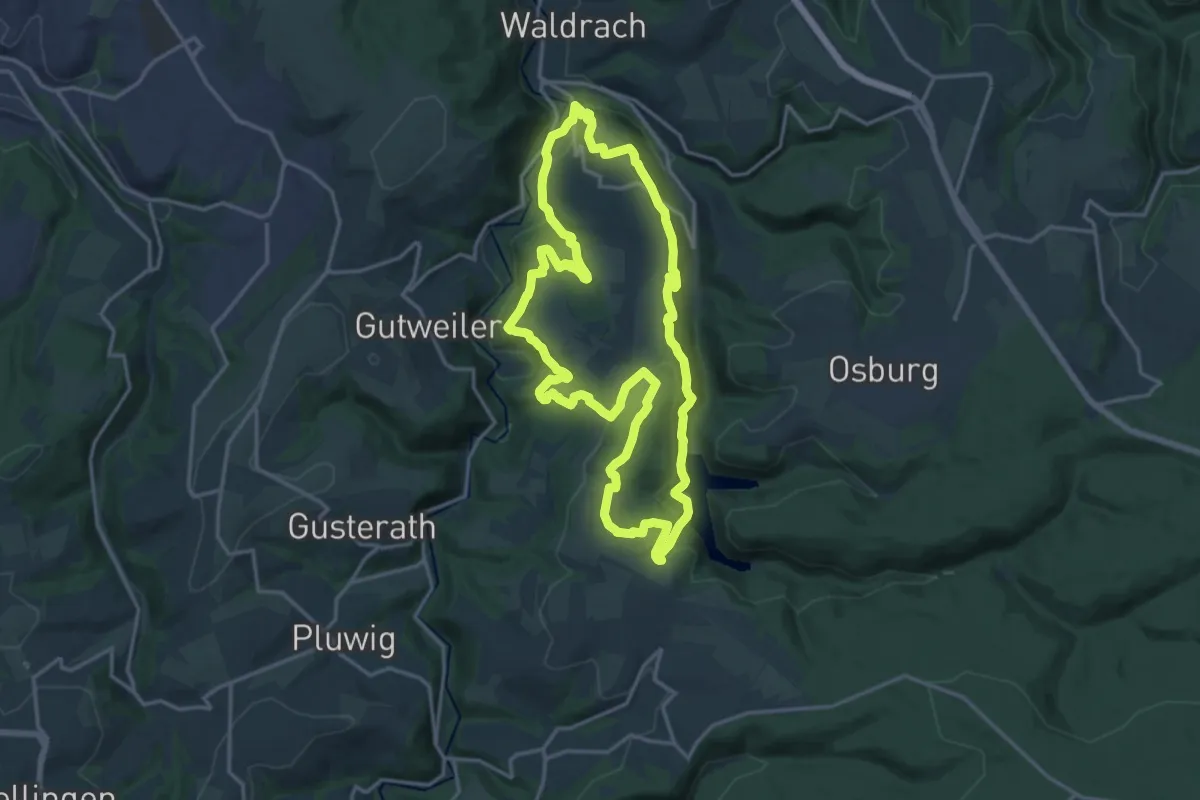
Medium · Trail
Morscheider Grenzpfad
16.0 km · ↑ 527 m · 5 h 8 min
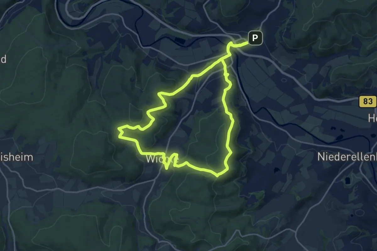
Medium · Trail
Morschen Rundweg M3
15.4 km · ↑ 371 m · 4 h 39 min
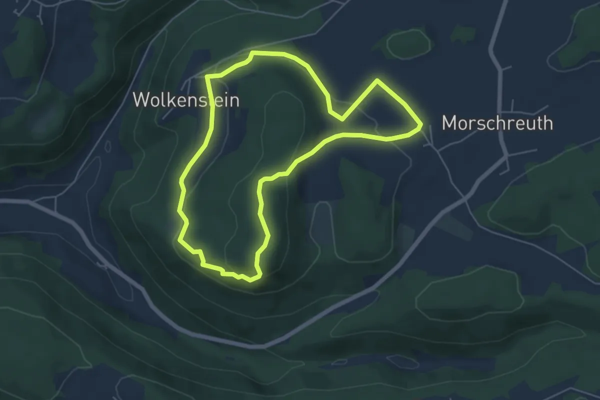
Easy · Trail
Morschreuth-Wolkenstein-Rödelfels
4.6 km · ↑ 127 m · 1 h 26 min
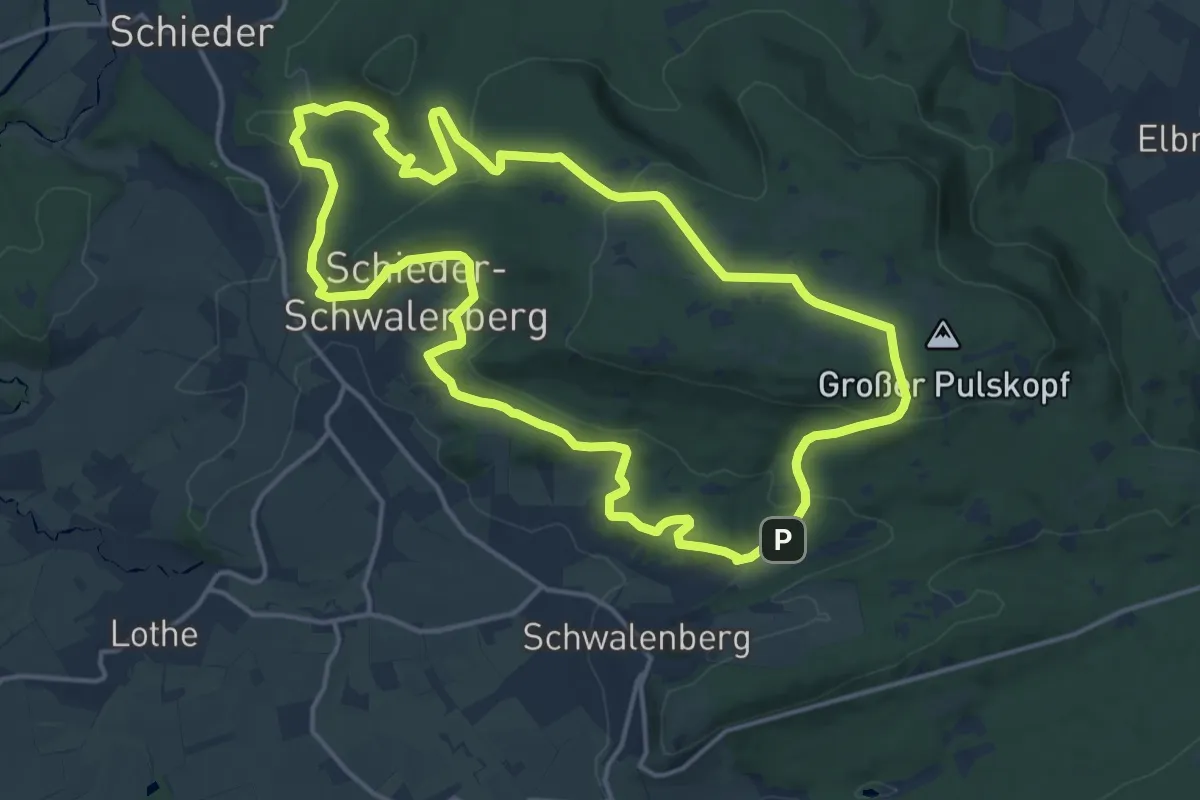
Medium · Summit
Mörth-Rundweg
14.9 km · ↑ 452 m · 4 h 42 min
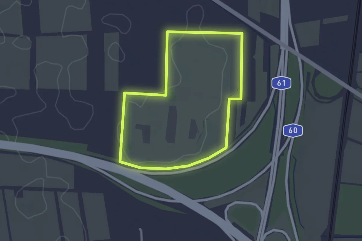
Easy · Trail
Mortkaute-Rundweg
2.1 km · ↑ 0 m · 31 min
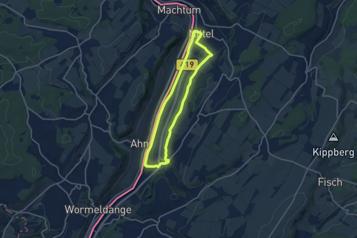
Medium · Trail
Mosel-Elblingweg
8.7 km · ↑ 113 m · 2 h 25 min
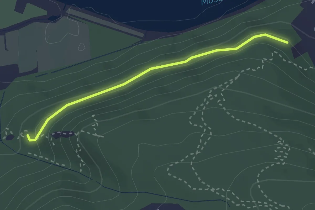
Easy · Trail
Mosel Erlebnisroute
2.3 km · ↑ 79 m · 43 min
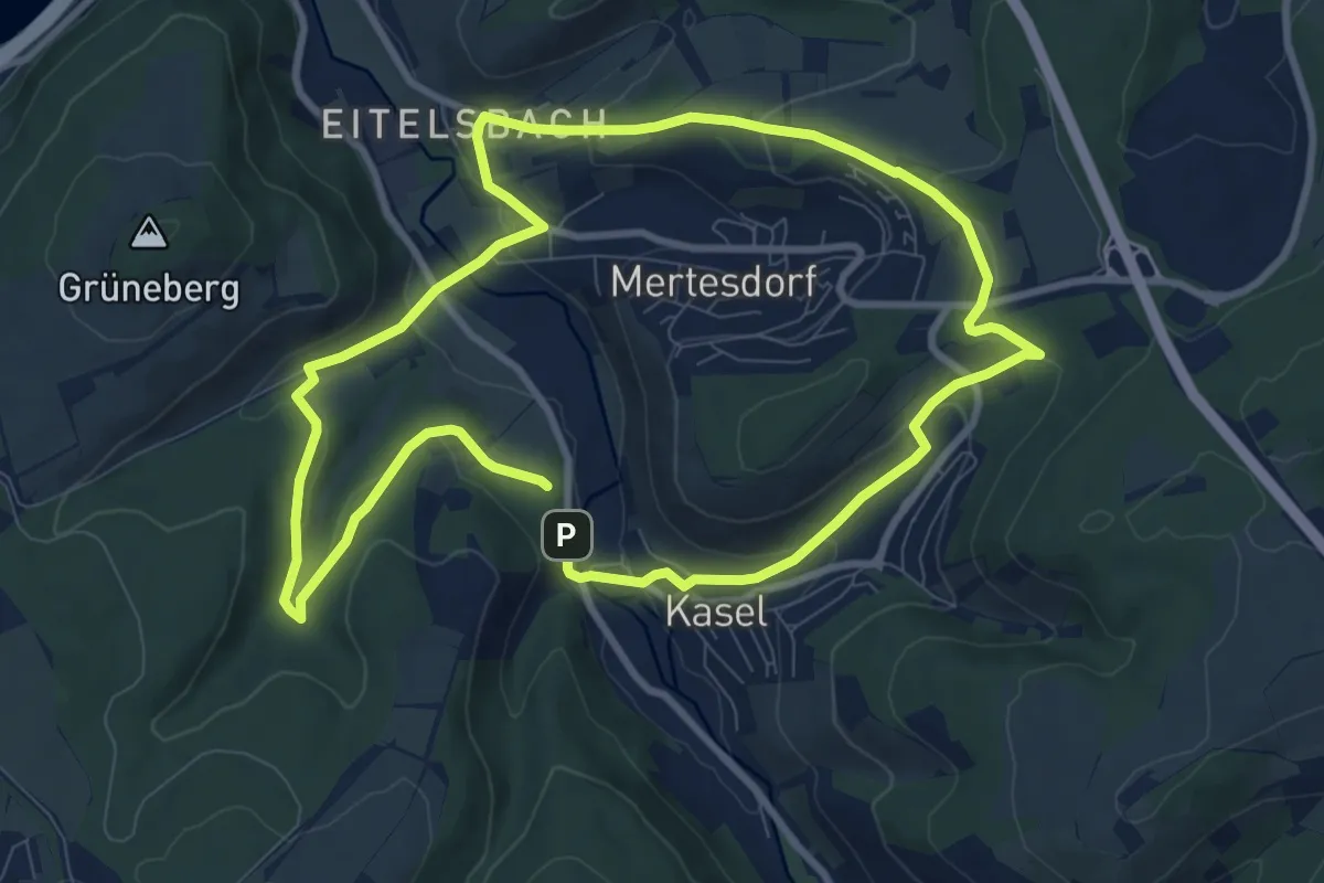
Medium · Trail
Mosel.Erlebnis.Route
8.3 km · ↑ 245 m · 2 h 36 min
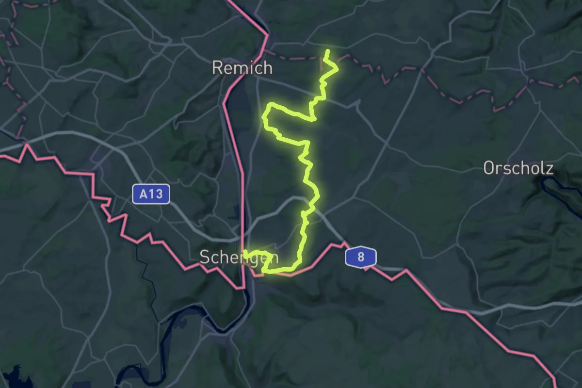
Demanding · Trail
Moselhöhenweg (Hunsrück)
20.1 km · ↑ 445 m · 6 h 2 min
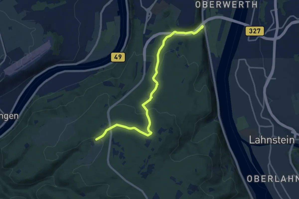
Medium · Trail
Moselhöhenweg-Verbindungsweg Koblenz-Laubachtal - Koblenz-Remstecken
9.9 km · ↑ 378 m · 3 h 9 min
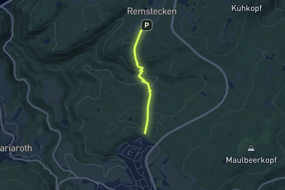
Easy · Trail
Moselhöhenweg-Verbindungsweg Koblenz-Waldesch (Hunsrück)
4.2 km · ↑ 146 m · 1 h 18 min
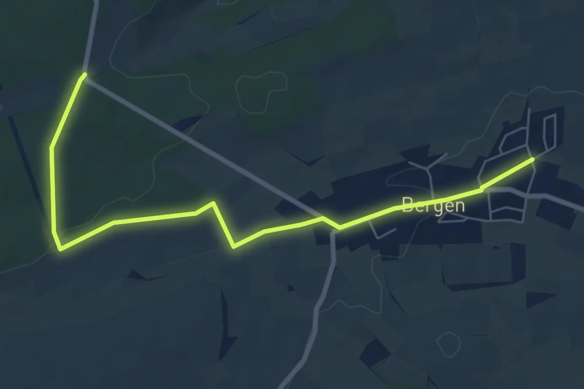
Easy · Trail
Mosel-Nahe-Wanderweg
6.1 km · ↑ 96 m · 1 h 39 min
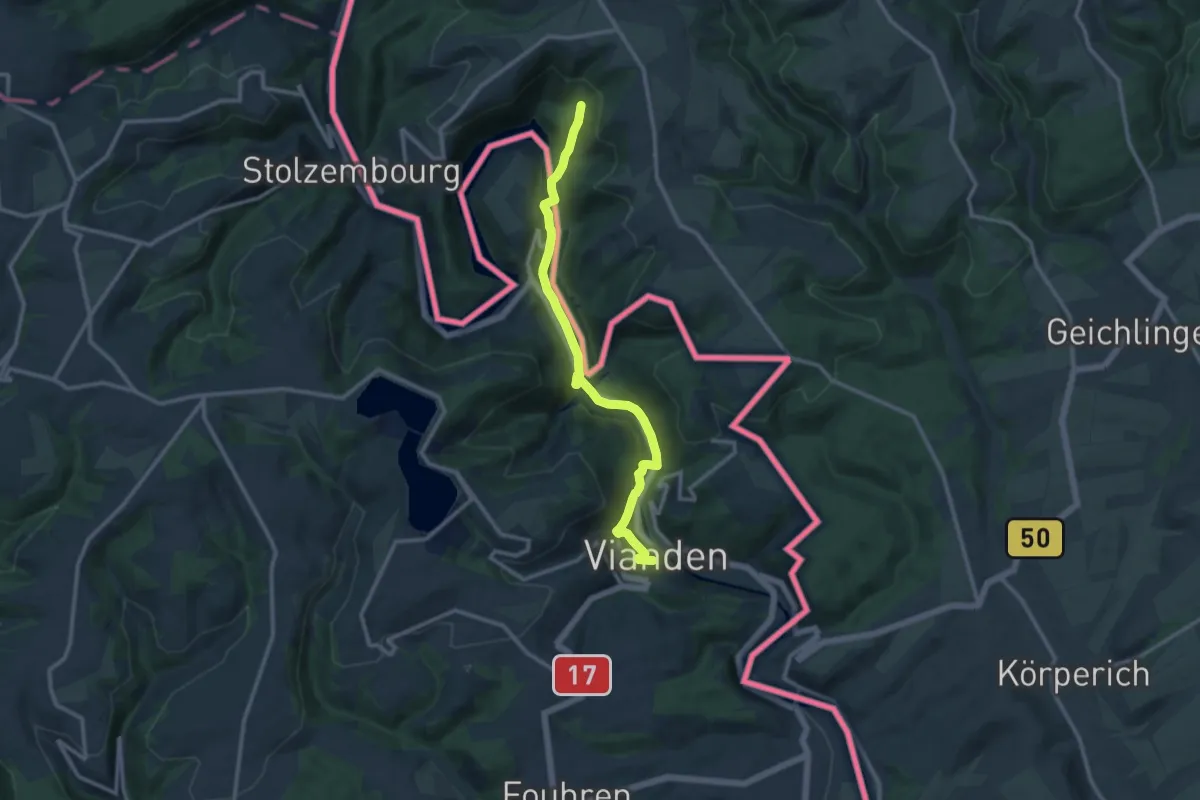
Medium · Trail
Mosel-Our-Weg
11.1 km · ↑ 317 m · 3 h 18 min
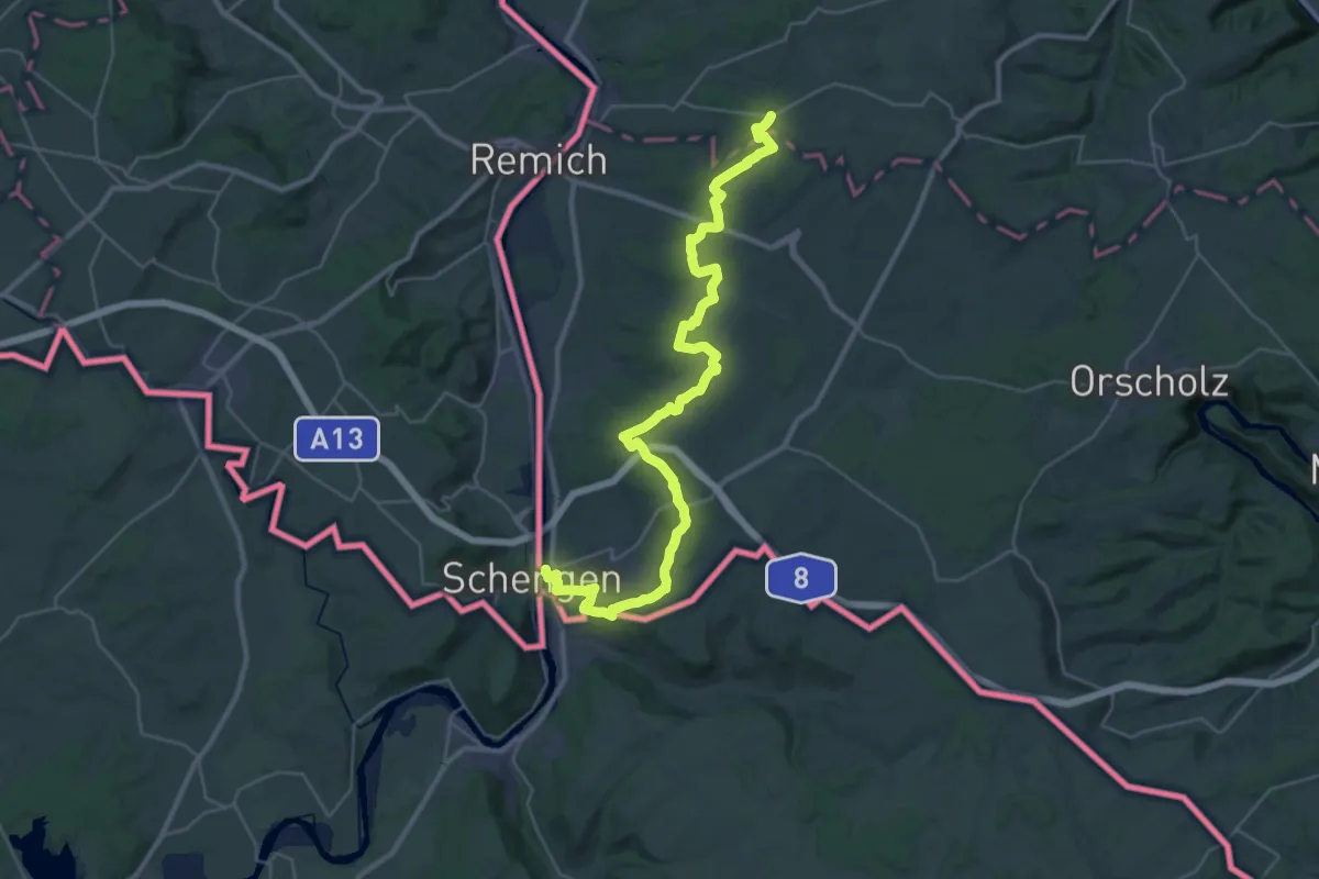
Demanding · Trail
Moselsteig
18.2 km · ↑ 516 m · 5 h 36 min
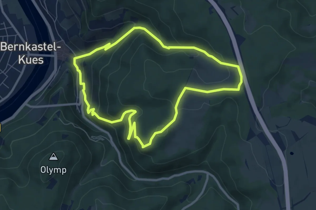
Medium · Trail
Moselsteig Seitensprung Bernkasteler Bärensteig
6.2 km · ↑ 331 m · 2 h 16 min
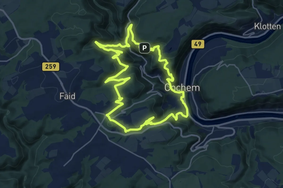
Medium · Summit
Moselsteig Seitensprung Cochemer Ritterrunde
15.7 km · ↑ 742 m · 5 h 32 min
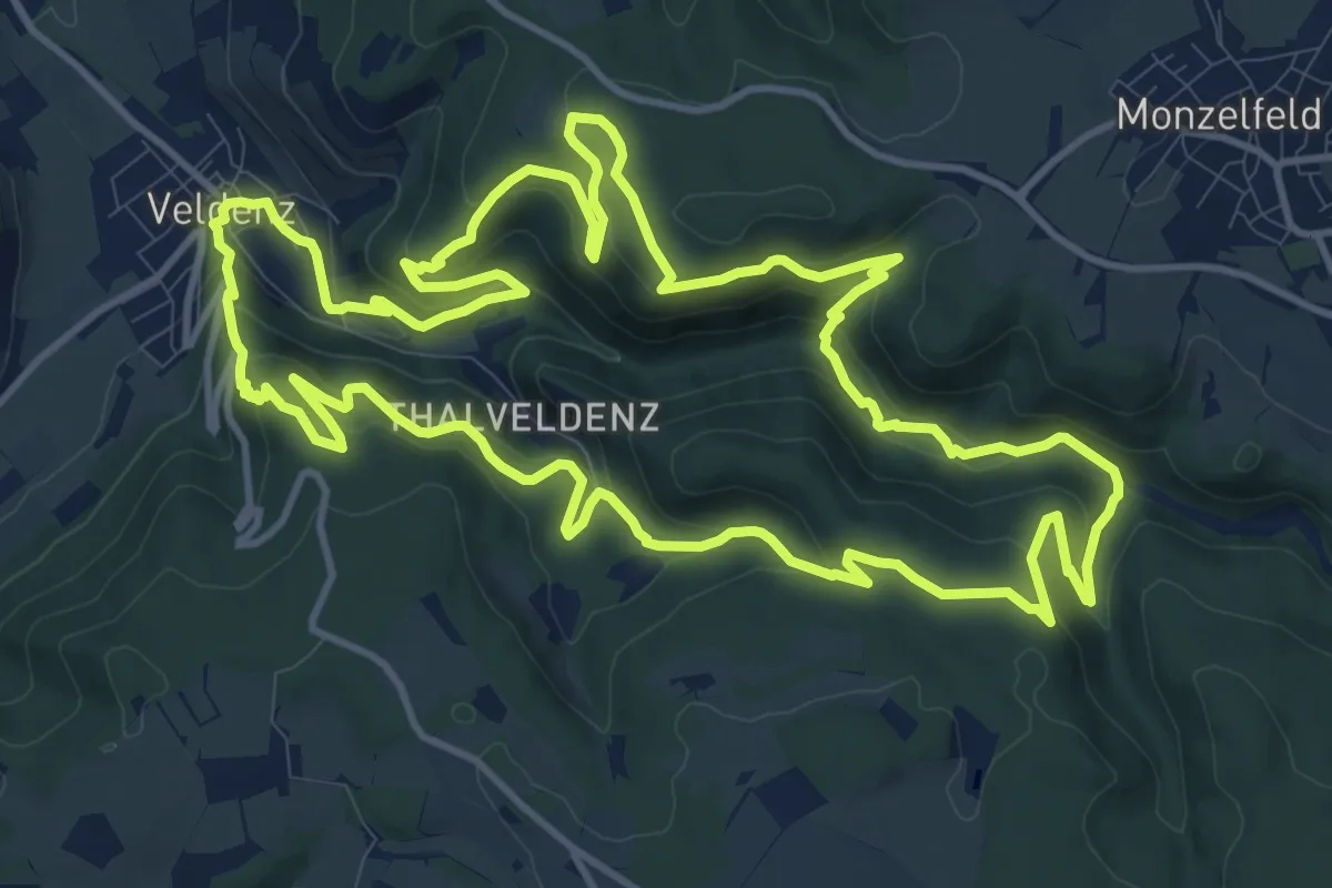
Medium · Trail
Moselsteig Seitensprung : Graf Georg Johannes Weg
13.7 km · ↑ 612 m · 4 h 44 min
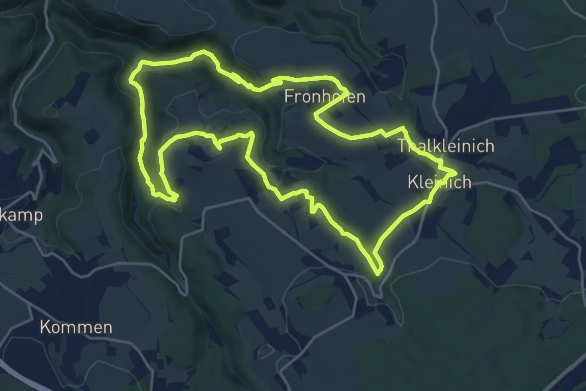
Medium · Trail
Moselsteig Seitensprung : Kirchspiel's Tälertour
13.4 km · ↑ 331 m · 4 h 4 min
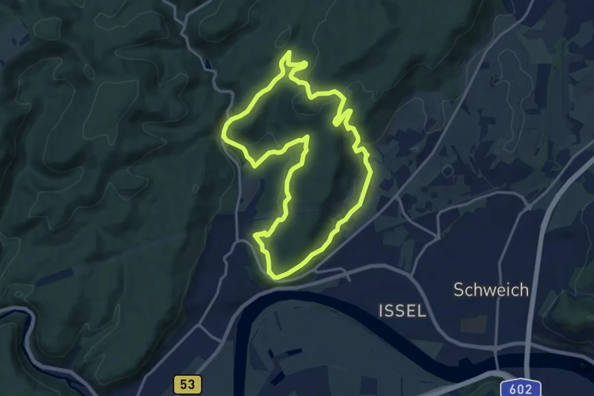
Medium · Summit
Moselsteig Seitensprung Meulenwaldto(u)r Schweich
10.4 km · ↑ 314 m · 3 h 17 min
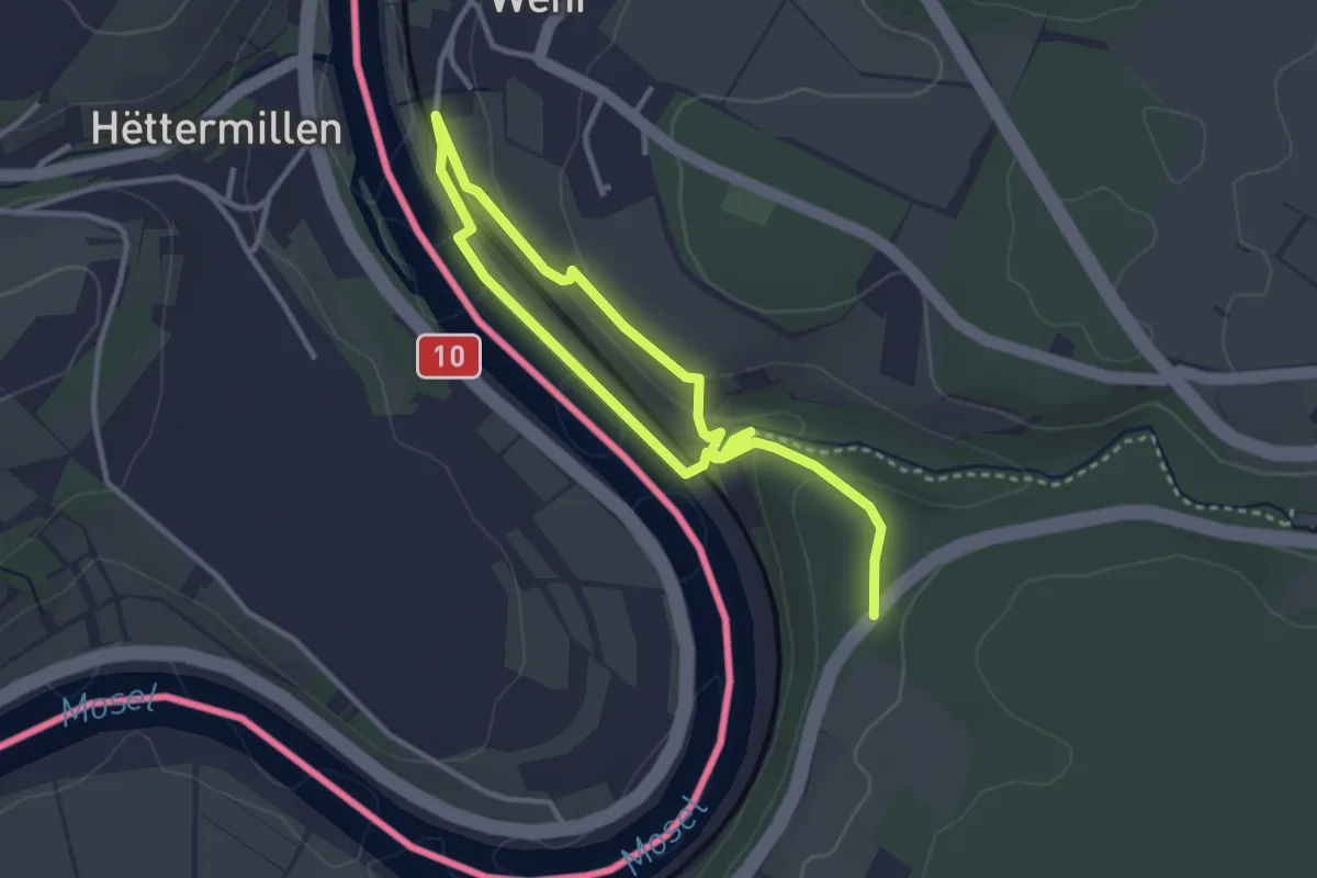
Easy · Trail
Moselsteig Seitensprung Wehrer Rosenberg
2.3 km · ↑ 38 m · 41 min
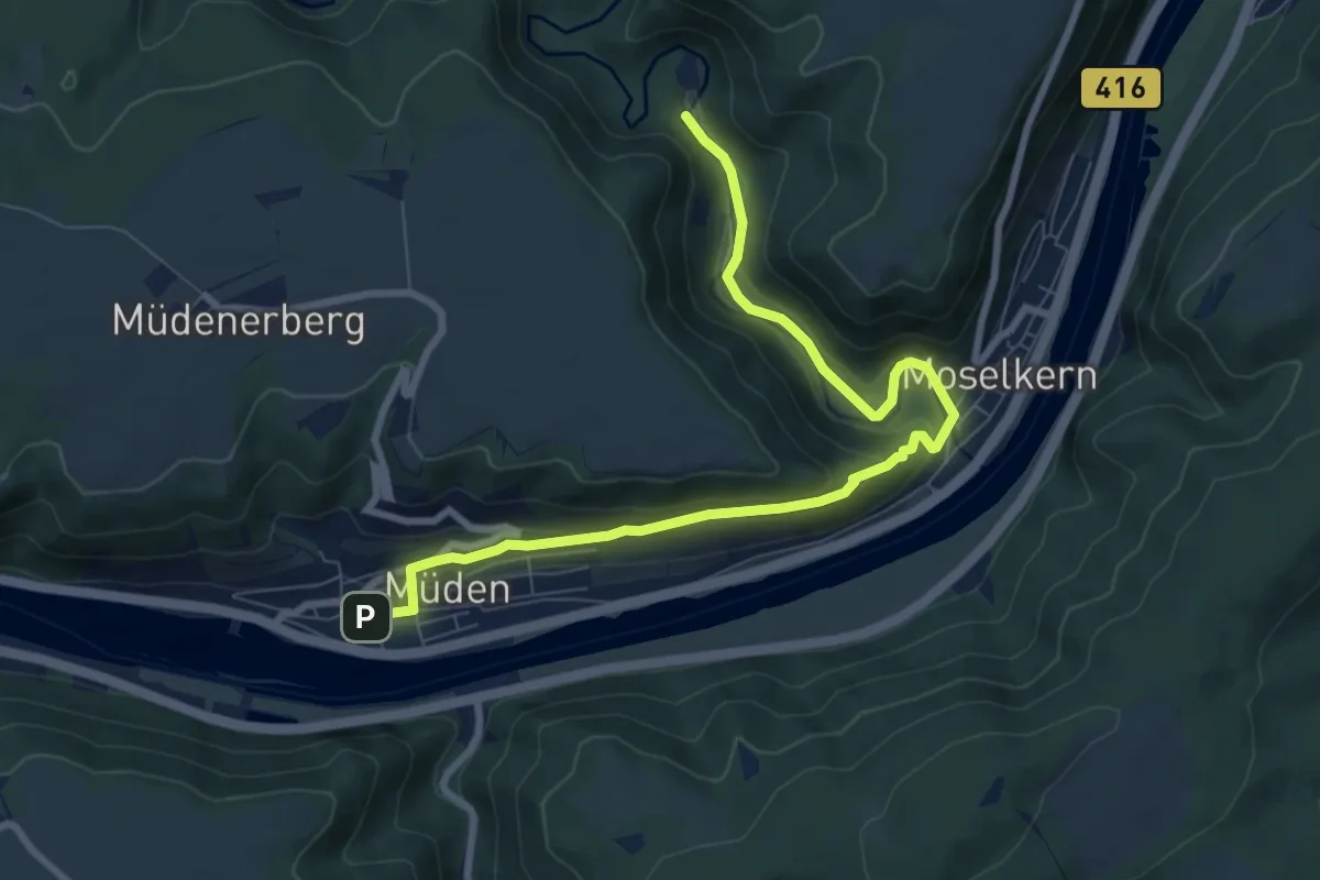
Medium · Trail
Moselsteig Zuweg Müden [ost]
8.5 km · ↑ 255 m · 2 h 33 min
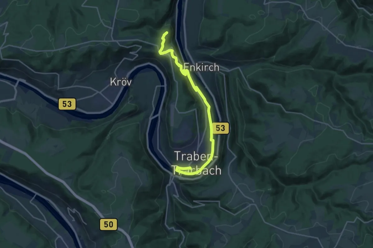
Medium · Summit
Moselweinbahn-Wanderweg
16.7 km · ↑ 366 m · 4 h 45 min
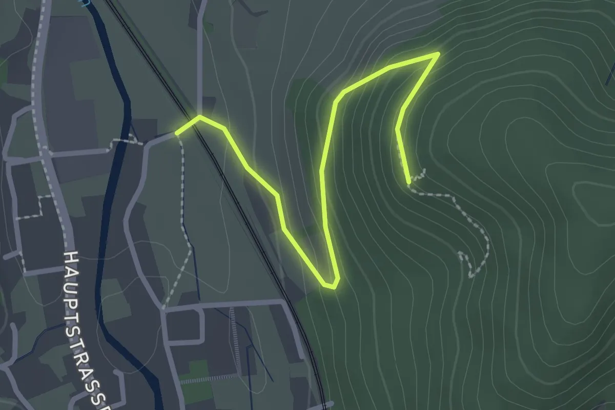
Easy · Trail
Moserstein - Ramsbach
2.4 km · ↑ 138 m · 52 min
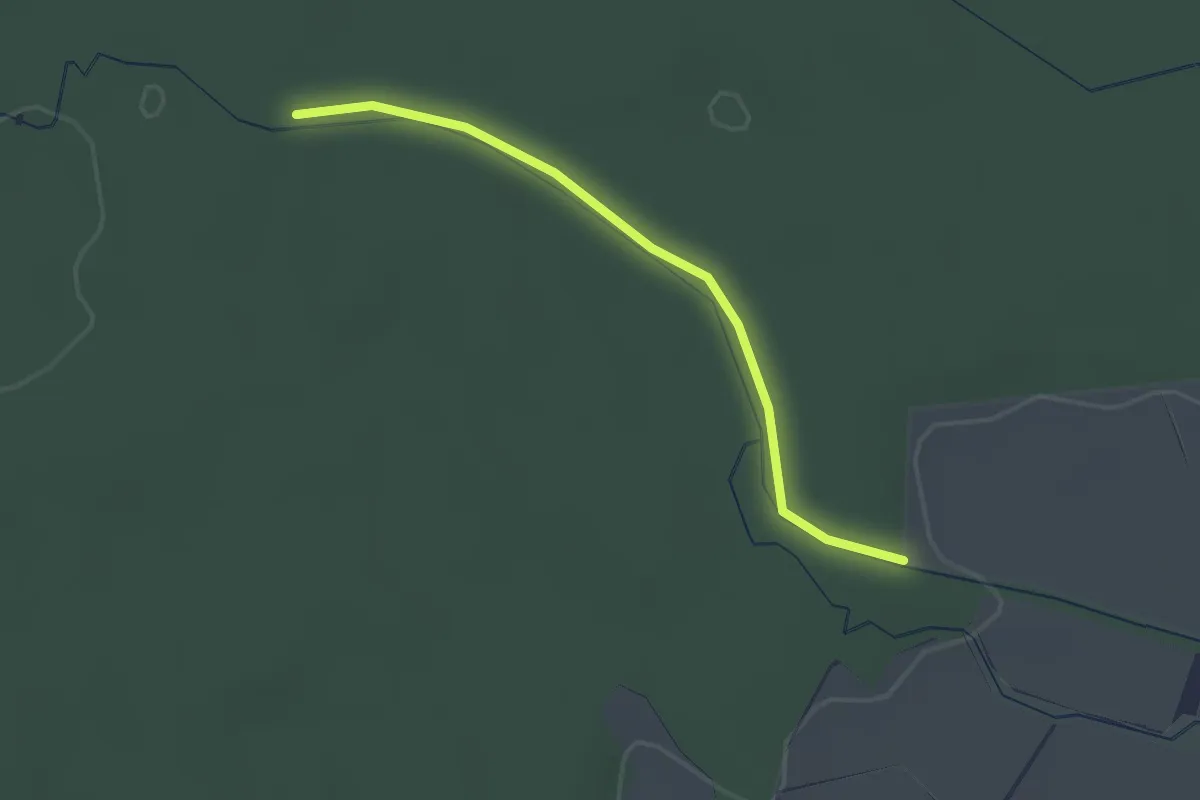
Easy · Trail
Möslebrücke - Kleiner Dreispitz
2.1 km · ↑ 11 m · 30 min
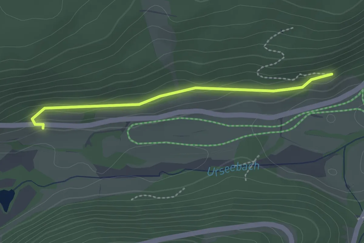
Easy · Trail
Möslehofweg - Unter der Bergerhalde
2.1 km · ↑ 38 m · 35 min
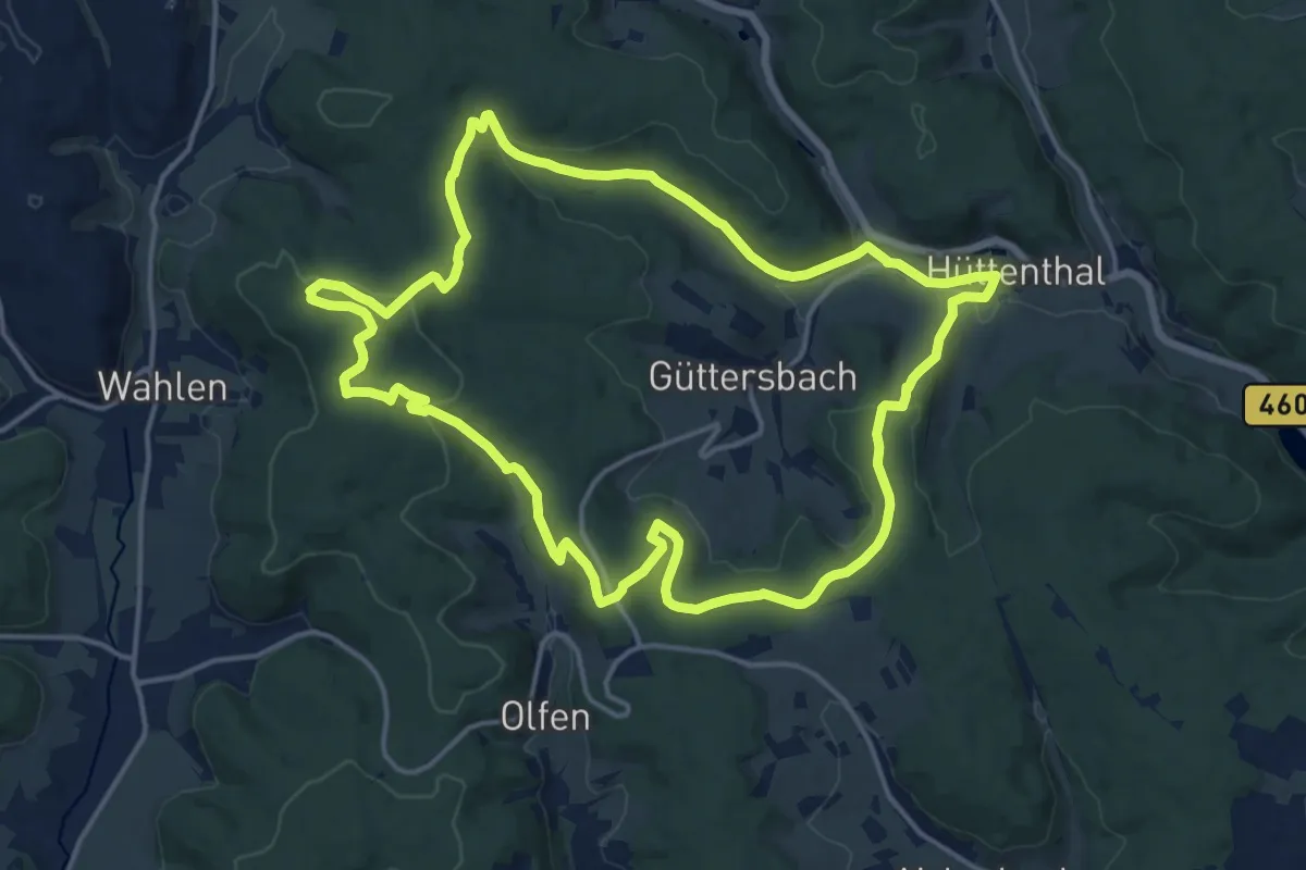
Medium · Summit
Mossautaler Drachenweg 1: Triumphalis
15.6 km · ↑ 390 m · 4 h 45 min
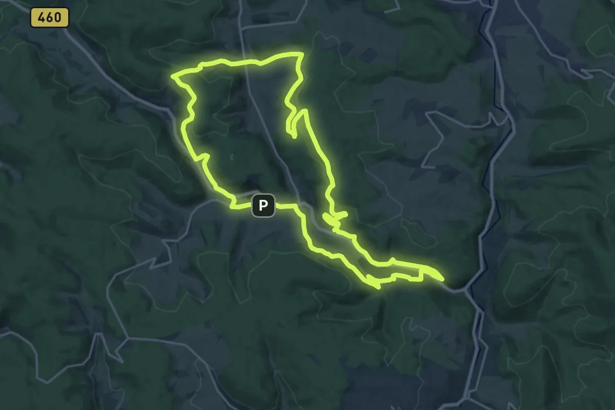
Demanding · Trail
Mossautaler Drachenweg 2: Fafnir
19.6 km · ↑ 561 m · 6 h 7 min
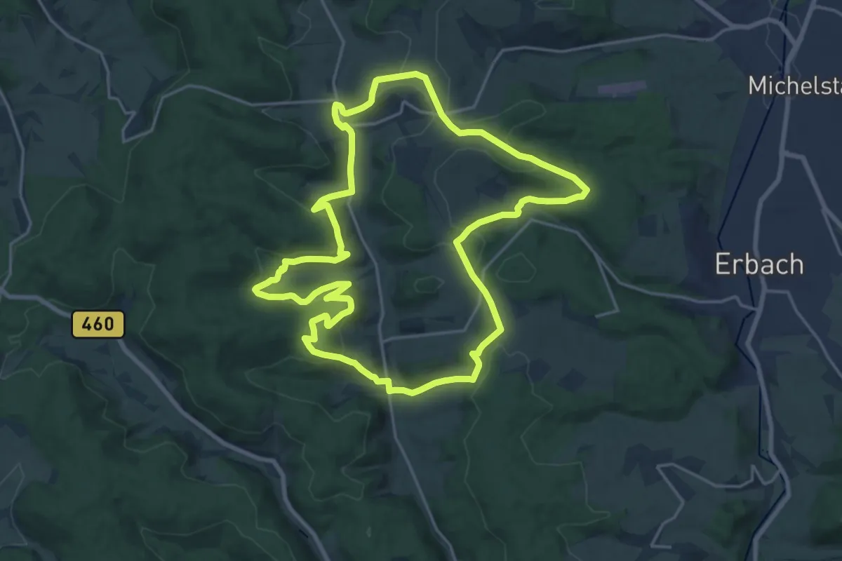
Medium · Summit
Mossautaler Drachenweg 3 : Dorn
17.5 km · ↑ 444 m · 5 h 21 min
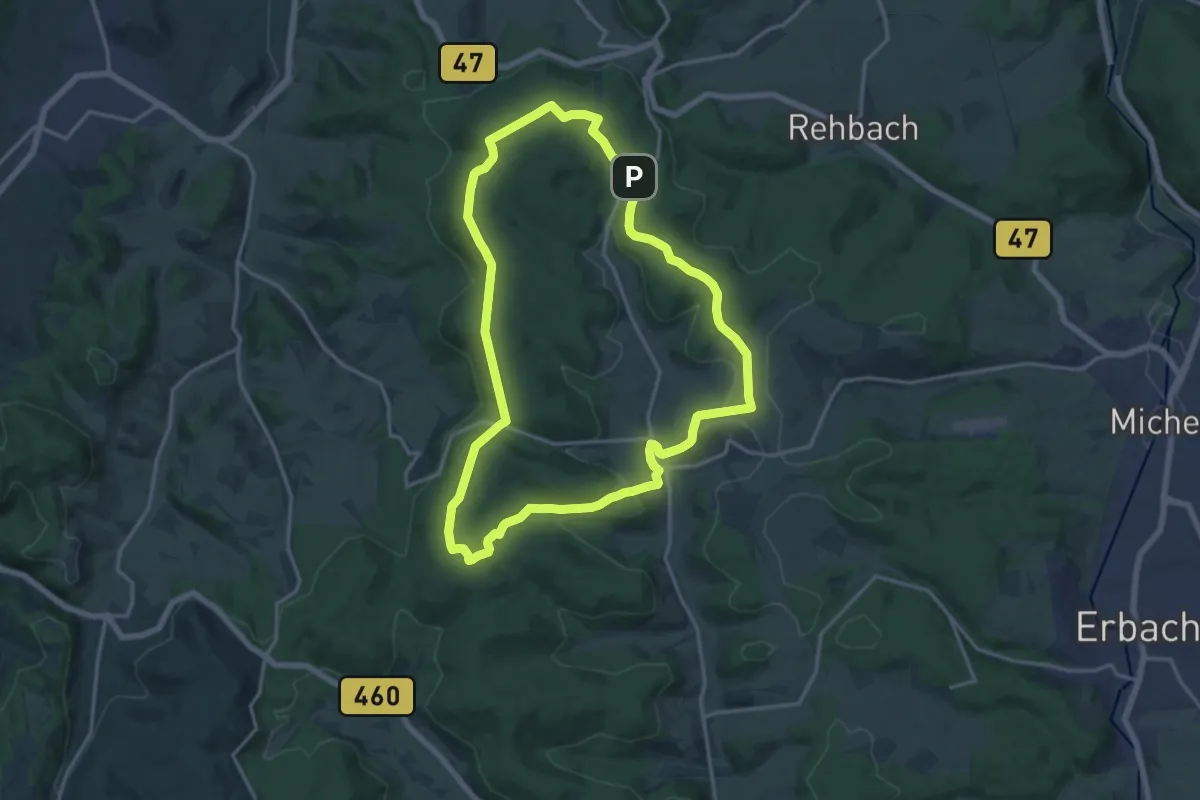
Medium · Summit
Mossautaler Drachenweg 4 : Saphira
14.8 km · ↑ 342 m · 4 h 27 min
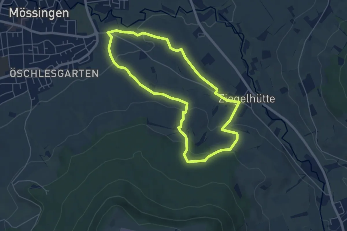
Easy · Trail
Mössinger Leisawegle
4.7 km · ↑ 133 m · 1 h 28 min
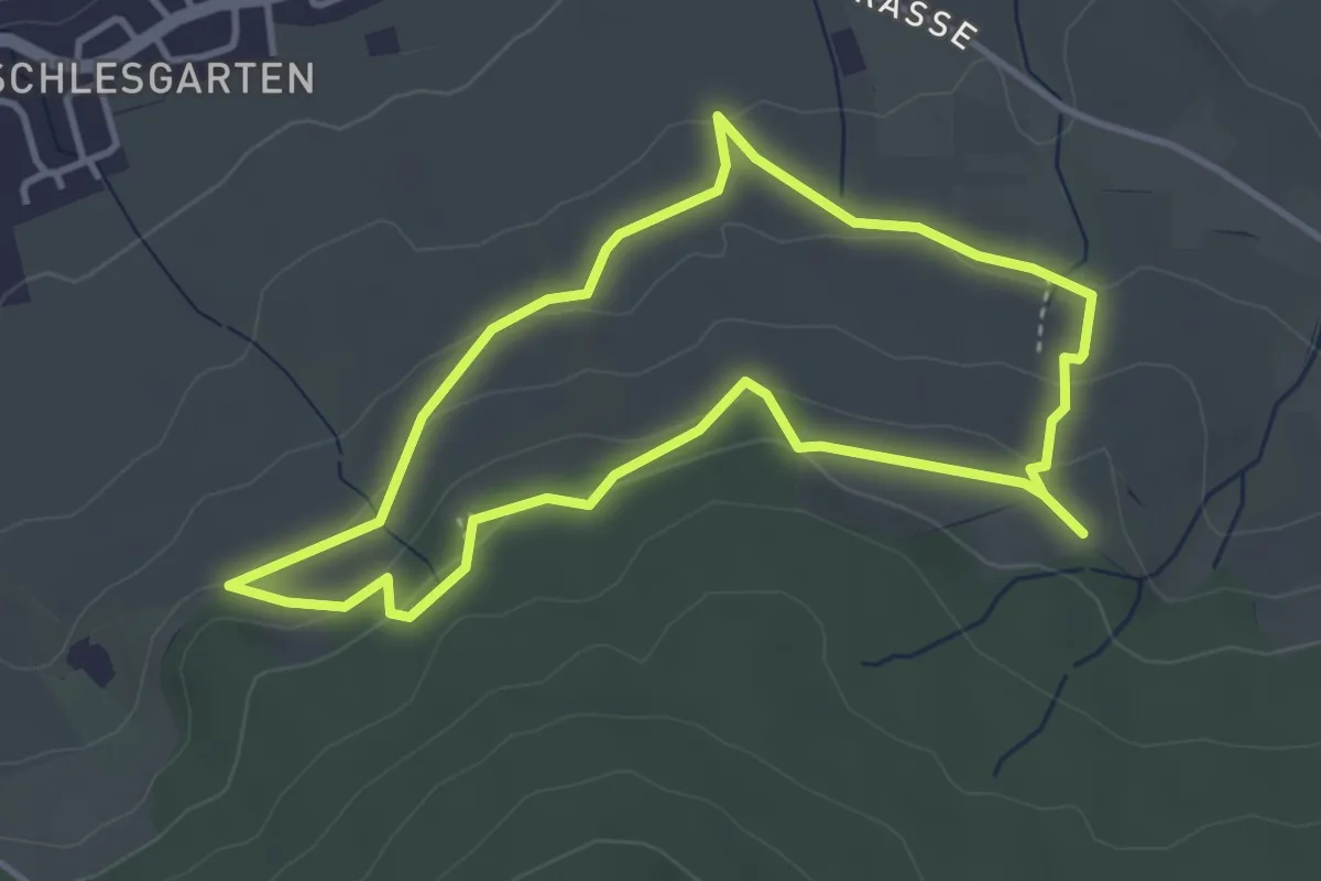
Easy · Trail
Mössinger Streuobstwegle
3.5 km · ↑ 104 m · 1 h 6 min
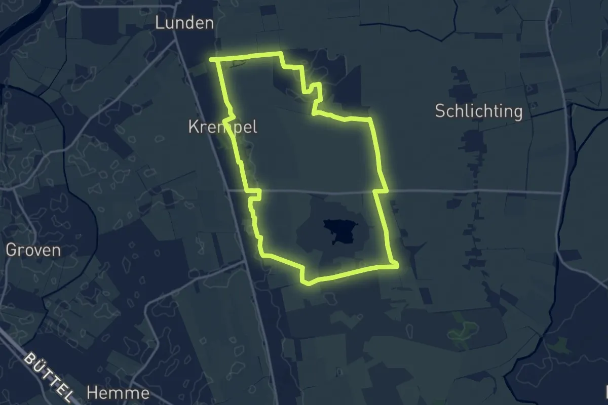
Medium · Trail
Mötjensee und Seeadler
11.7 km · ↑ 9 m · 2 h 56 min
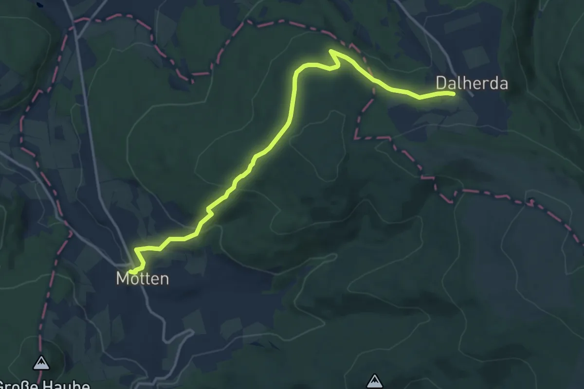
Medium · Trail
Motten - Altenfeld
12.1 km · ↑ 333 m · 3 h 35 min
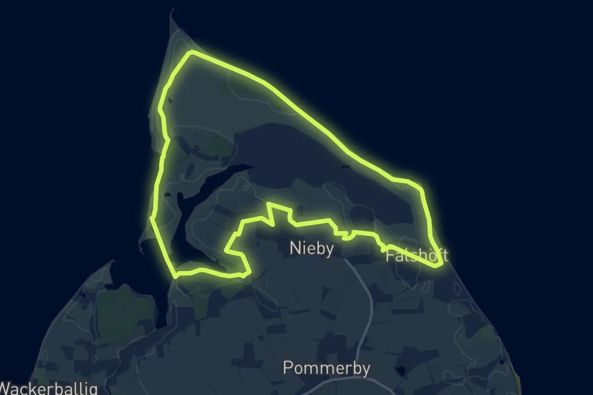
Medium · Trail
MöwenWeg
13.2 km · ↑ 55 m · 3 h 25 min
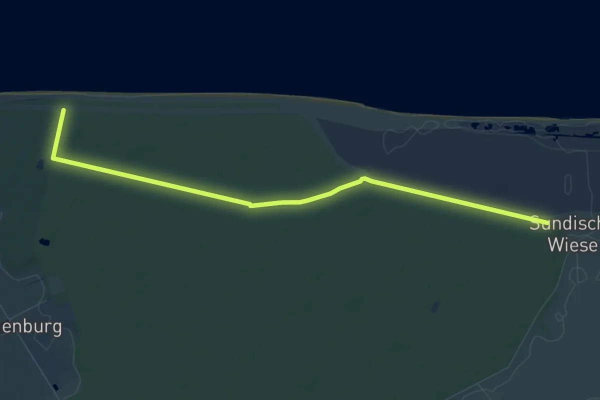
Medium · Trail
Möwe-Weg
8.3 km · ↑ 8 m · 1 h 59 min
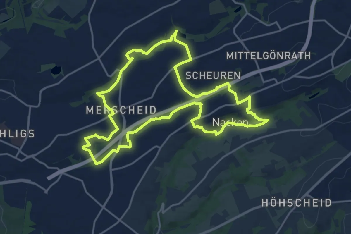
Medium · Trail
(M) Rund um Merscheid
10.9 km · ↑ 125 m · 3 h
Easy · Trail
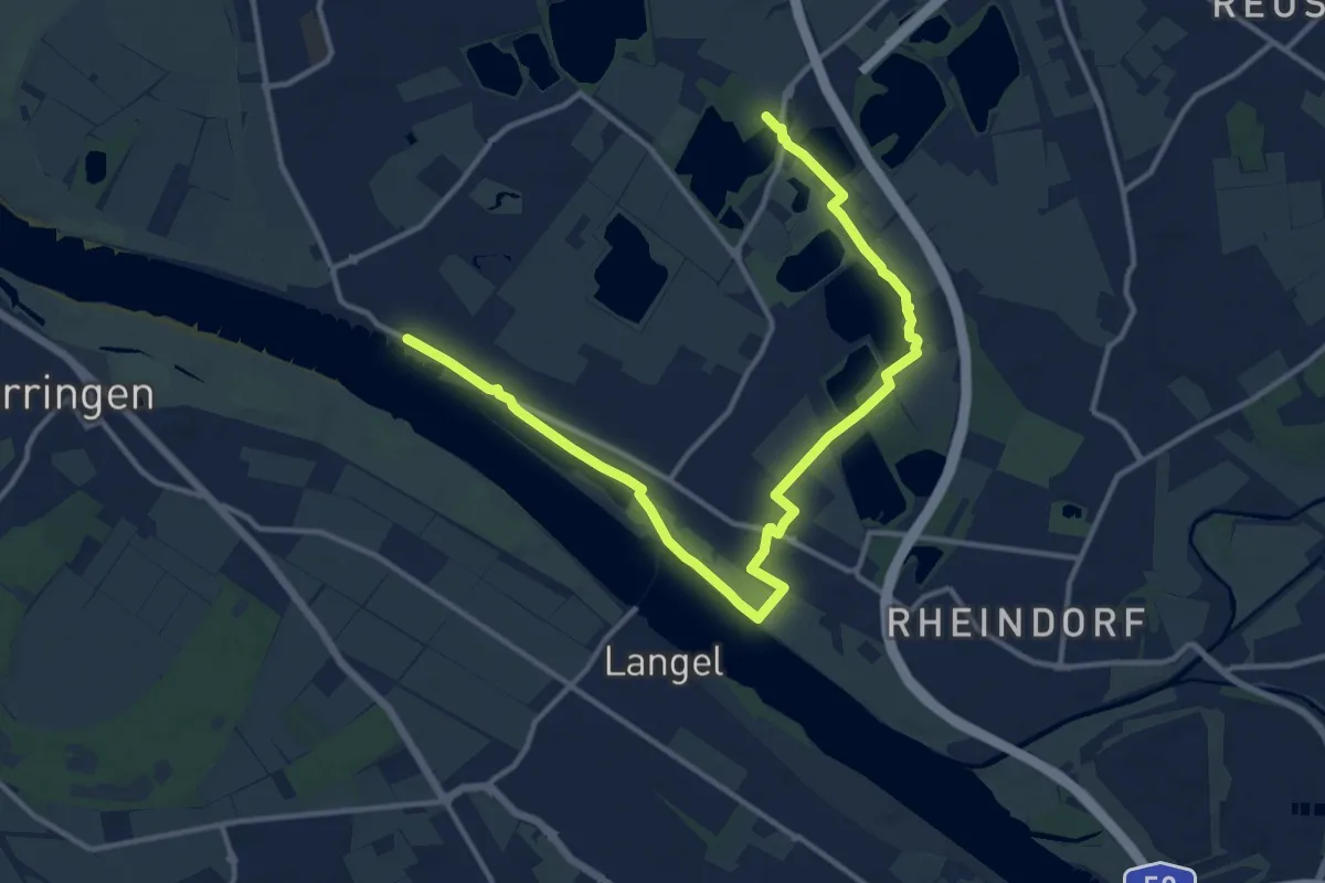
(M) Rund um Monheim
7.3 km · ↑ 13 m · 1 h 51 min
Easy · Trail
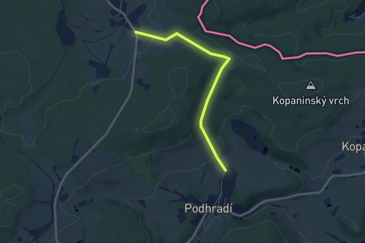
[M] Studánka - Cheb
5.0 km · ↑ 128 m · 1 h 27 min
Medium · Trail
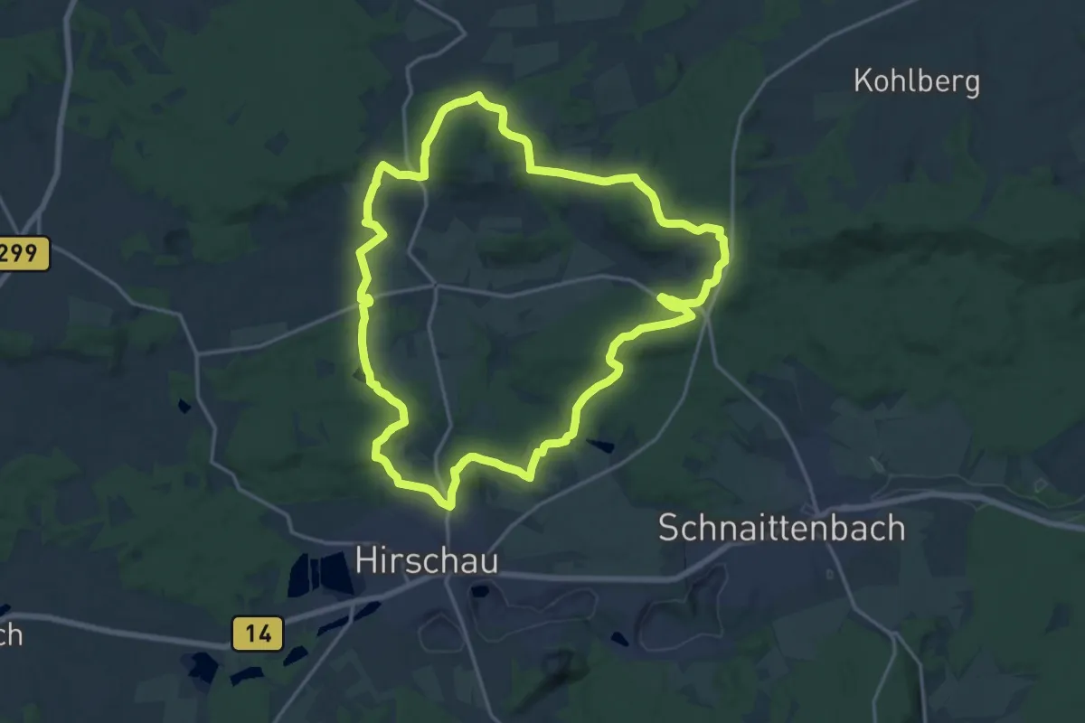
mtb-Route Hirschauer Turmweg
16.5 km · ↑ 363 m · 4 h 55 min
Easy · Trail
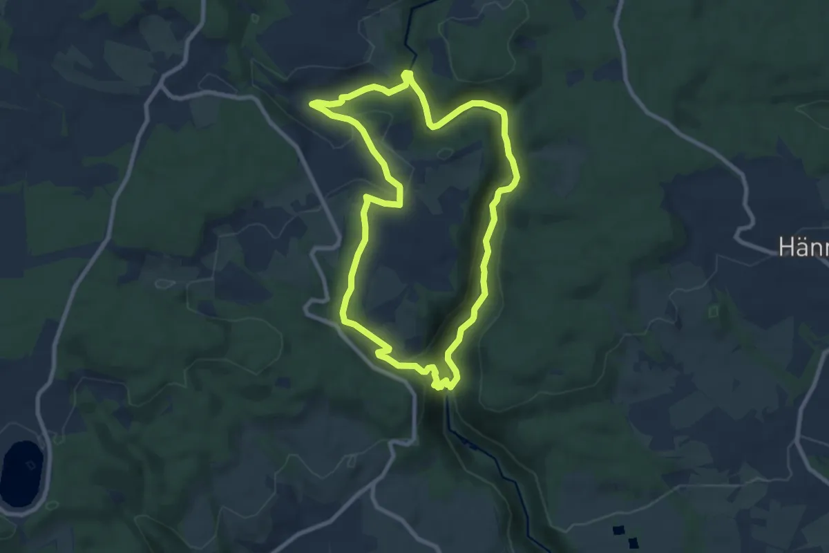
MTPf Burgruinen Schleife
7.4 km · ↑ 232 m · 2 h 21 min
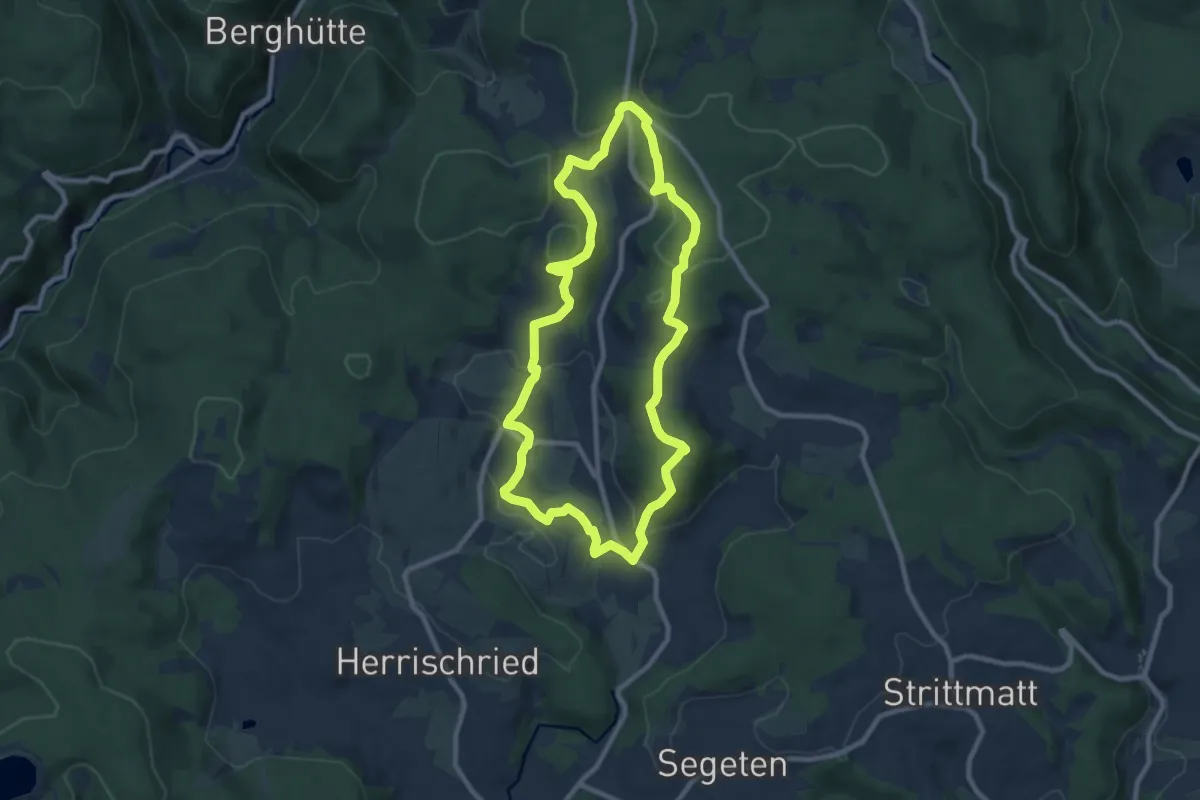
Medium · Summit
MTPf Gugelturm Schleife
8.7 km · ↑ 294 m · 2 h 50 min
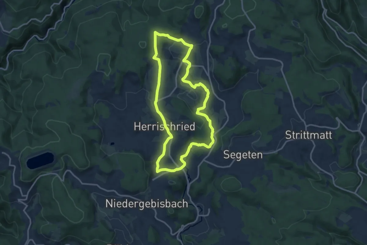
Medium · Trail
MTPf Panorama Schleife
10.1 km · ↑ 256 m · 3 h 5 min
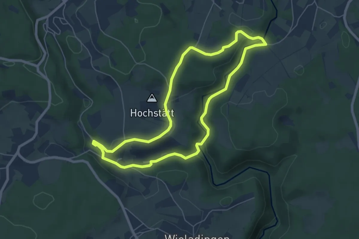
Easy · Summit
MTPf Pfaffensteg Schleife
5.2 km · ↑ 106 m · 1 h 32 min
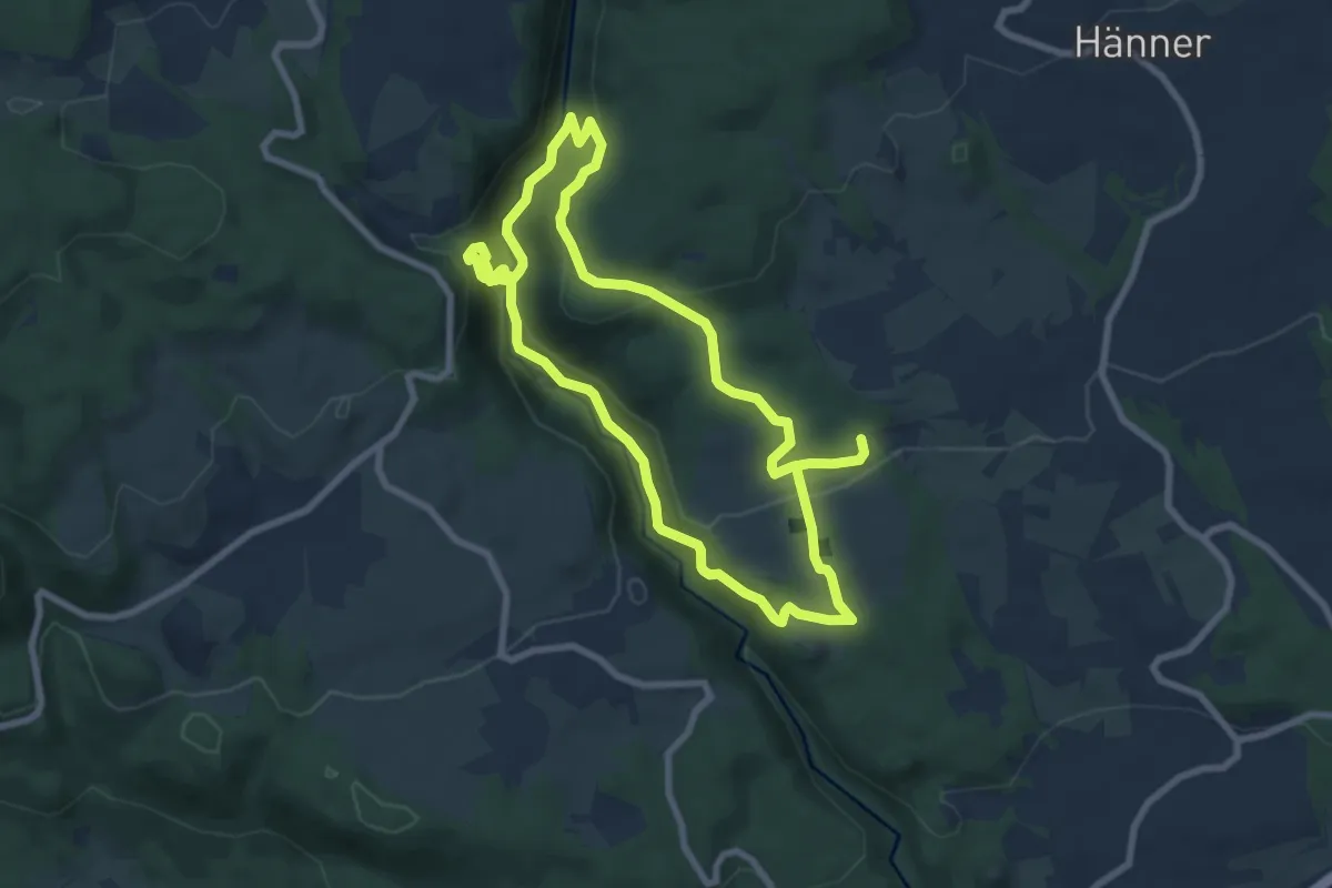
Easy · Trail
MTPf Stellekopf Schleife
7.3 km · ↑ 301 m · 2 h 28 min
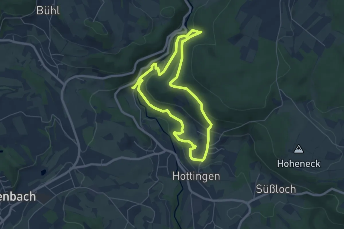
Easy · Trail
MTPf Wuhren Schleife
4.9 km · ↑ 171 m · 1 h 36 min
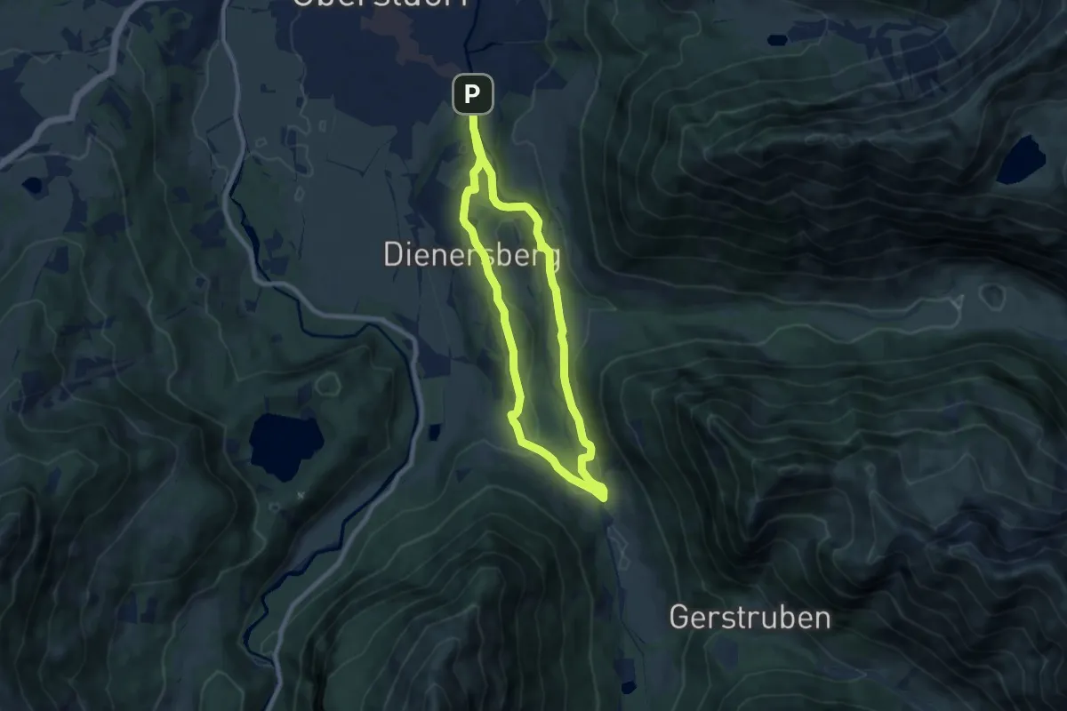
Easy · Trail
M - Über den Moorweiher ins Trettachtal
6.6 km · ↑ 128 m · 1 h 55 min
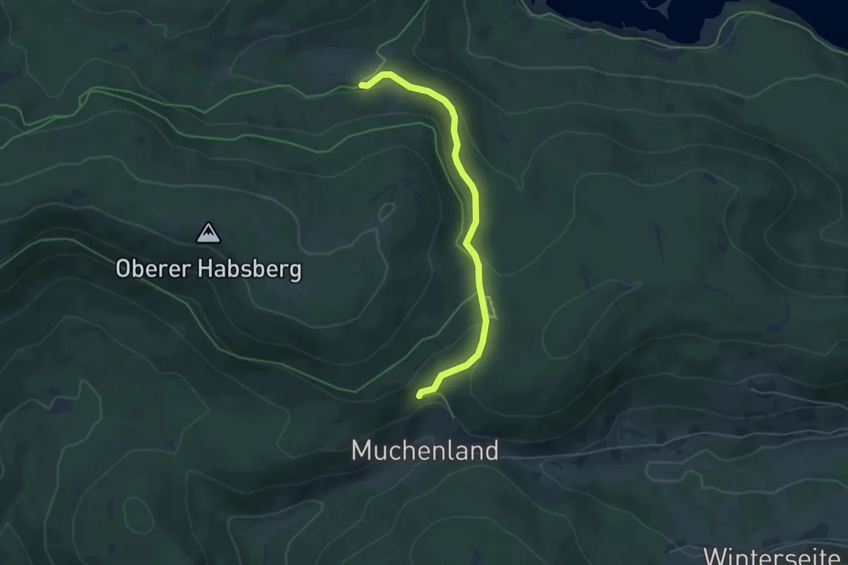
Easy · Trail
Muchenländer Brunnen - Oberkrummen
4.5 km · ↑ 148 m · 1 h 23 min
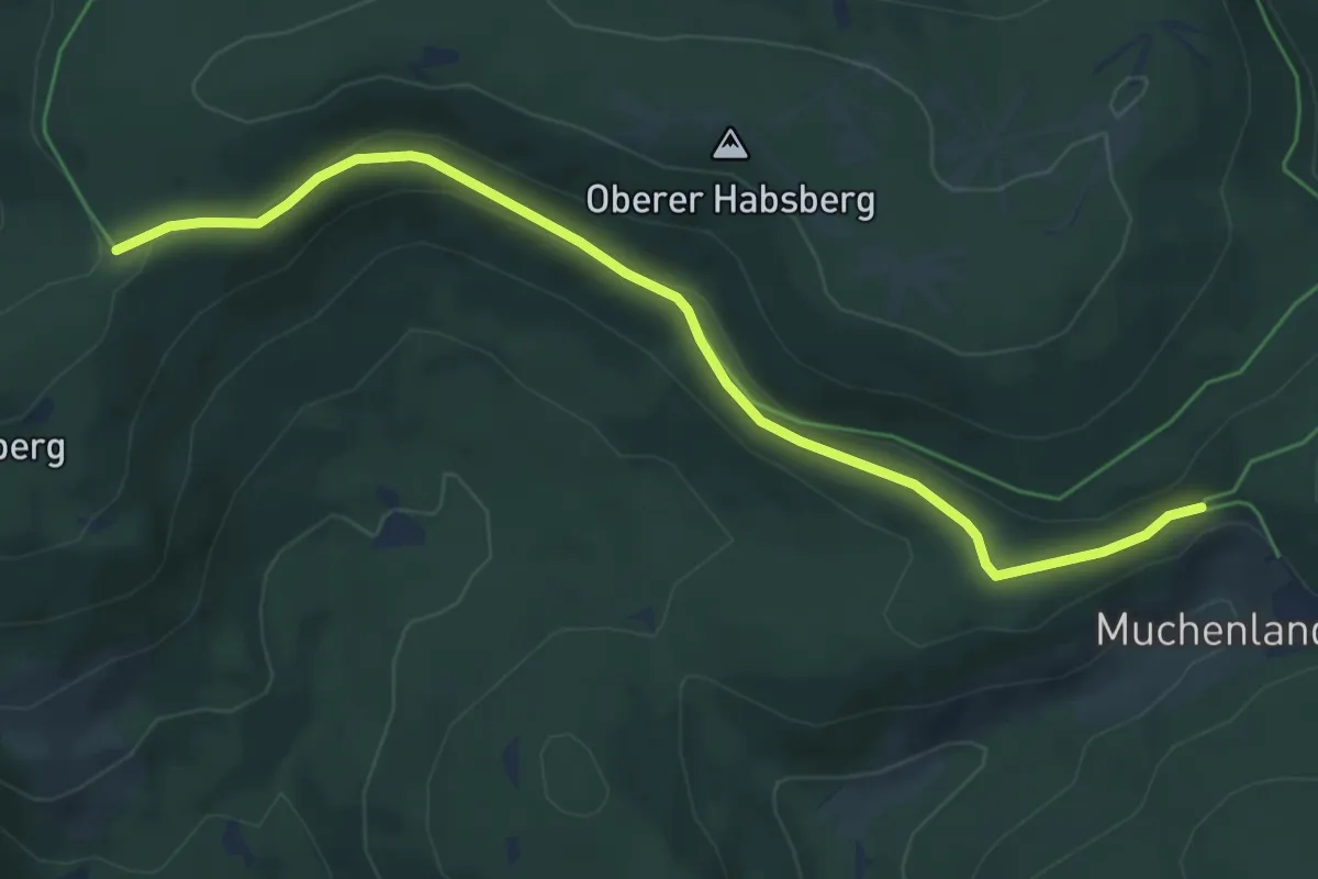
Easy · Trail
Muchenländer Brunnen - Schattenboden
5.8 km · ↑ 151 m · 1 h 42 min