Trails in Germany
36,852 hiking trails, each with its route, climb, walking time and grade.
All trails, page 375 of 768
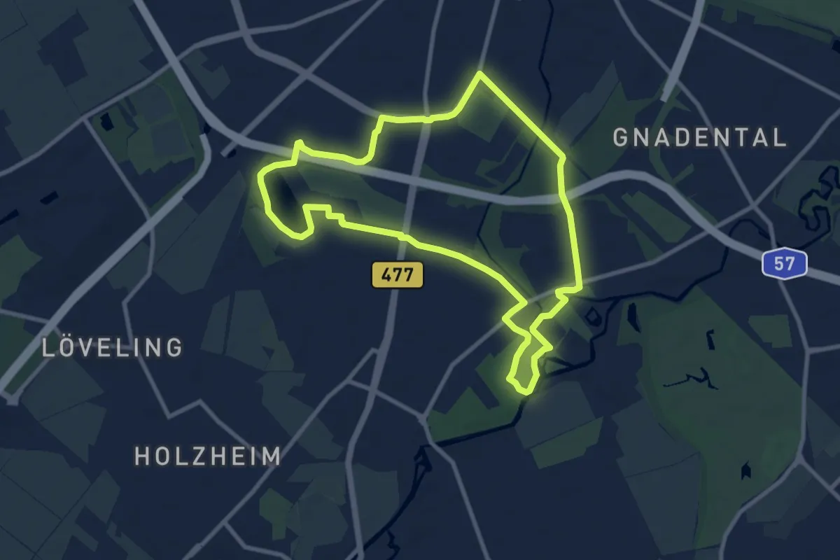
Easy · Trail
Neuss Rundweg A10
7.9 km · ↑ 18 m · 2 h
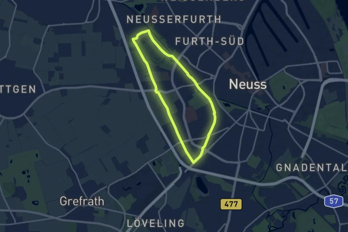
Easy · Trail
Neuss Rundweg A4
7.9 km · ↑ 4 m · 1 h 59 min
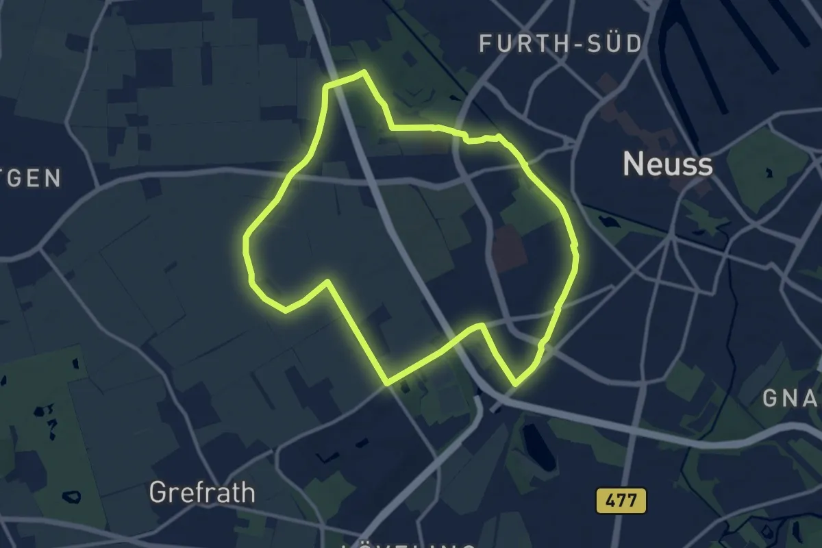
Medium · Trail
Neuss Rundweg A5
9.8 km · ↑ 4 m · 2 h 28 min
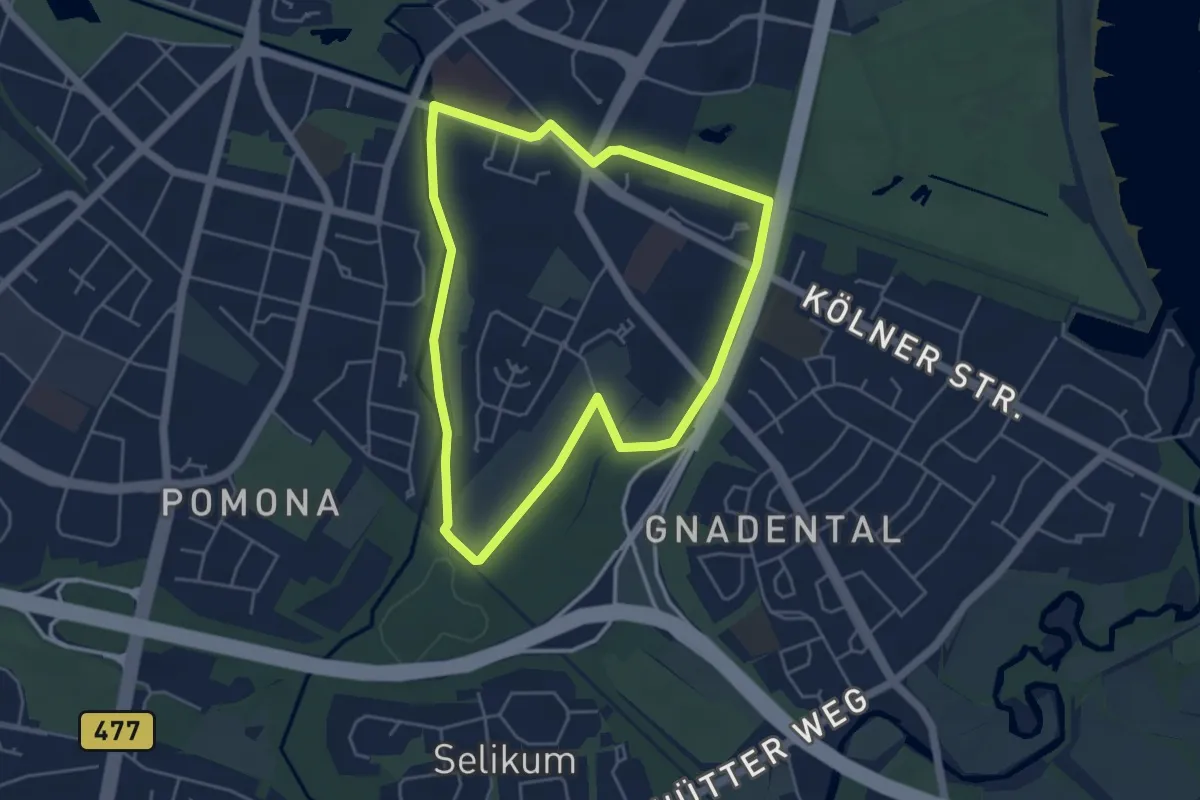
Easy · Trail
Neuss Rundweg A6
4.1 km · ↑ 0 m · 1 h 2 min
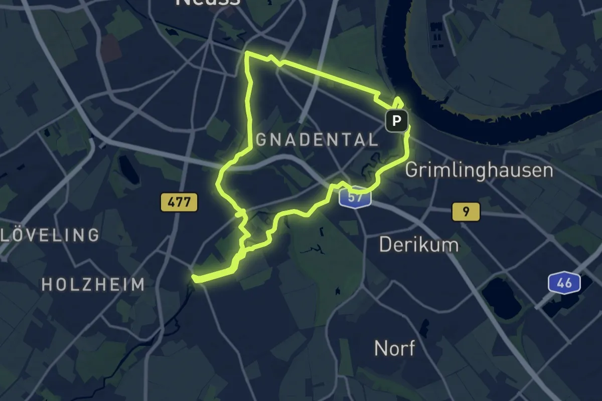
Medium · Trail
Neuss Rundweg A7
12.3 km · ↑ 35 m · 3 h 9 min
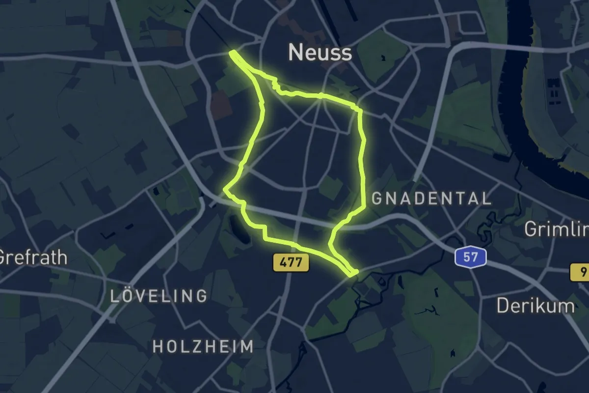
Medium · Trail
Neuss Rundweg A9
9.7 km · ↑ 8 m · 2 h 26 min
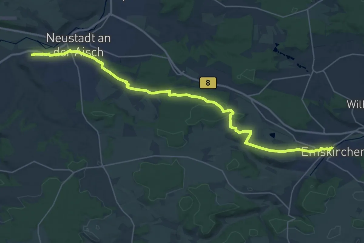
Demanding · Trail
Neustadt a.d. Aisch – Emskirchen
23.5 km · ↑ 308 m · 6 h 12 min
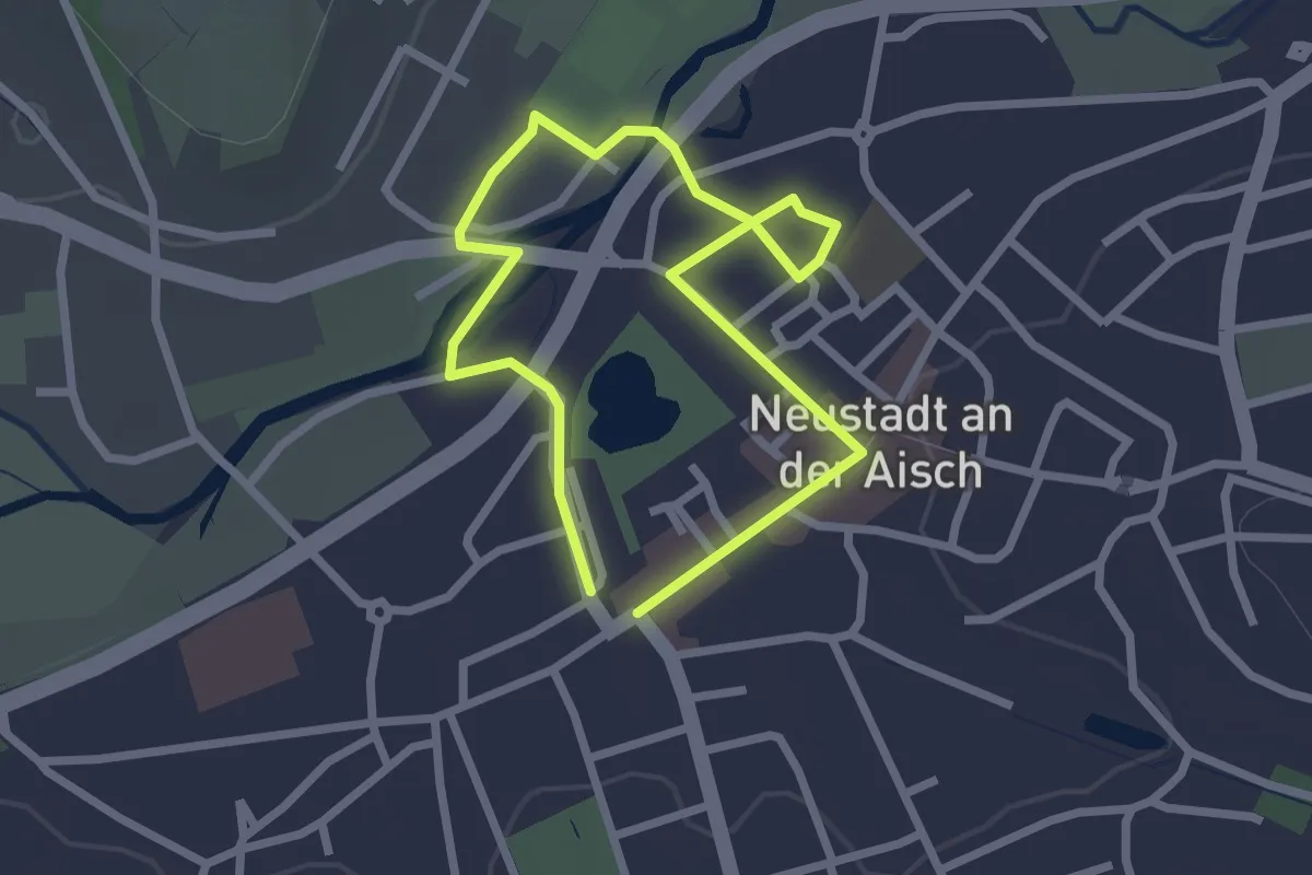
Easy · Trail
Neustadtaktivweg
1.9 km · ↑ 0 m · 28 min
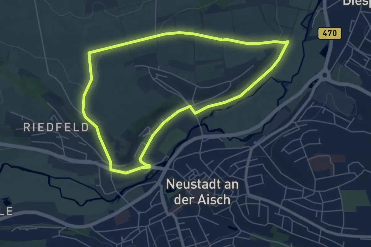
Easy · Trail
Neustädter Panoramaweg
4.8 km · ↑ 69 m · 1 h 21 min
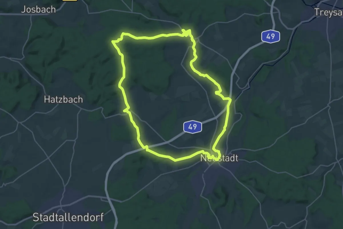
Demanding · Trail
Neustädter Rund-, Wander- und Radweg
22.7 km · ↑ 295 m · 6 h 19 min
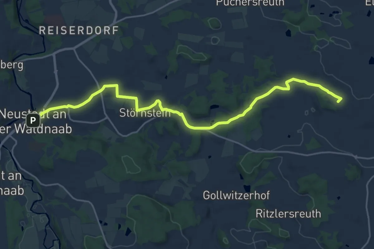
Medium · Summit
Neustadt - Floß
16.1 km · ↑ 224 m · 4 h 17 min
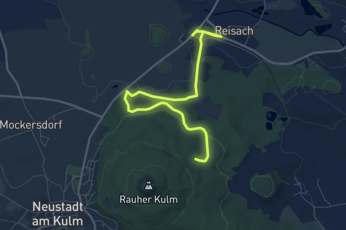
Medium · Trail
Neustadt/Kulm Bahnhofsweg
8.0 km · ↑ 118 m · 2 h 9 min
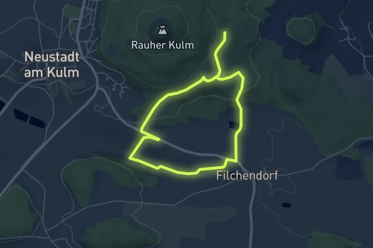
Medium · Trail
Neustadt/Kulm Espanweg
8.5 km · ↑ 175 m · 2 h 24 min
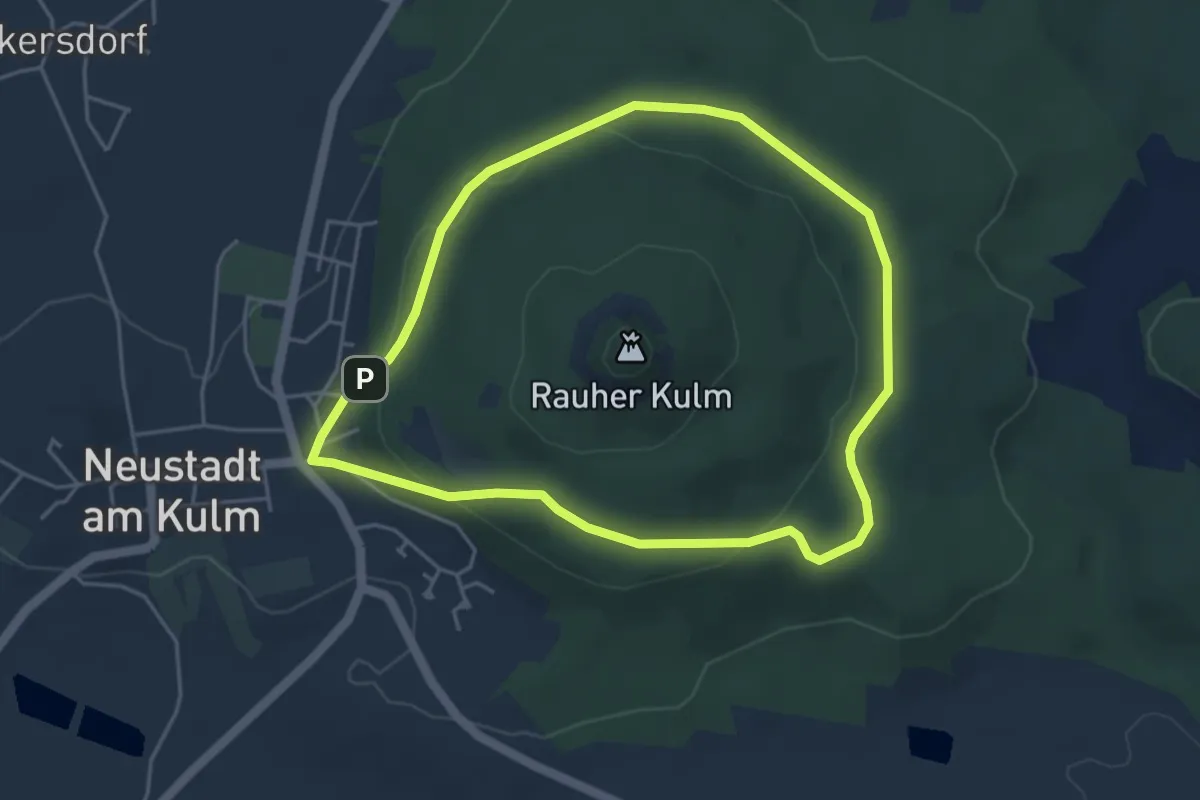
Easy · Trail
Neustadt/Kulm Großer Ringweg
3.9 km · ↑ 94 m · 1 h 11 min
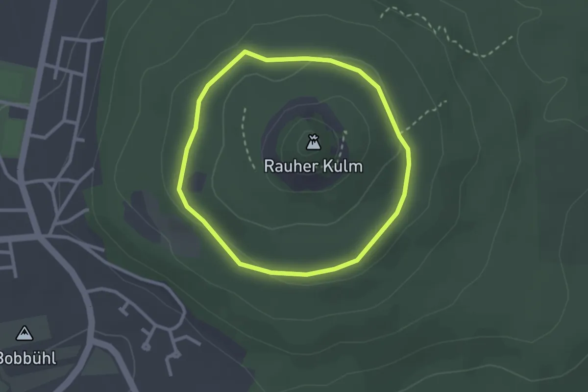
Easy · Trail
Neustadt/Kulm Ringsteig
2.0 km · ↑ 30 m · 34 min
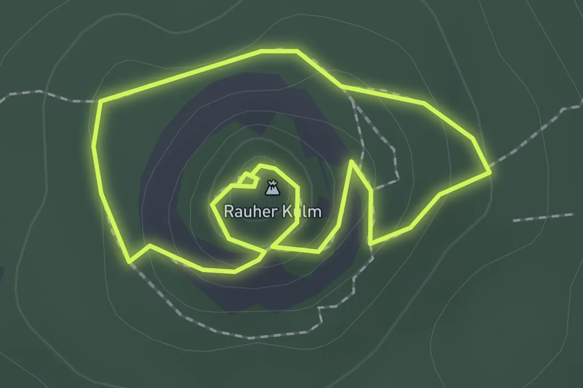
Easy · Summit
Neustadt/Kulm Ringwall
1.6 km · ↑ 53 m · 30 min
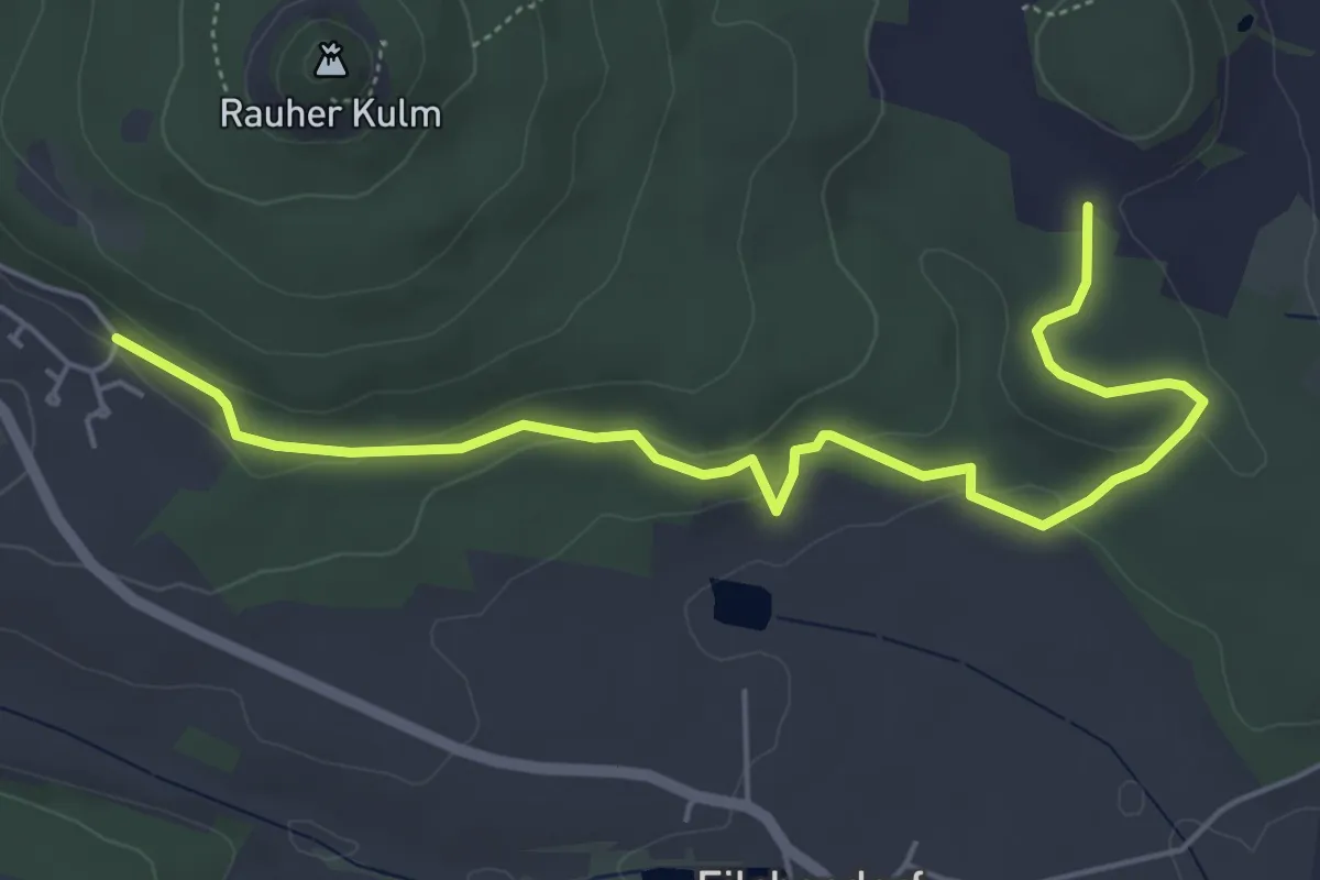
Easy · Trail
Neustadt/Kulm Vogelherdweg
5.7 km · ↑ 169 m · 1 h 42 min
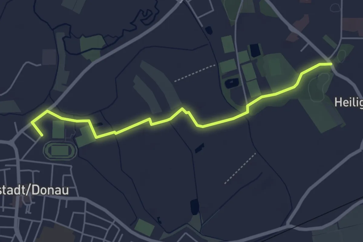
Easy · Trail
Neustadt-Runde
4.7 km · ↑ 4 m · 1 h 7 min
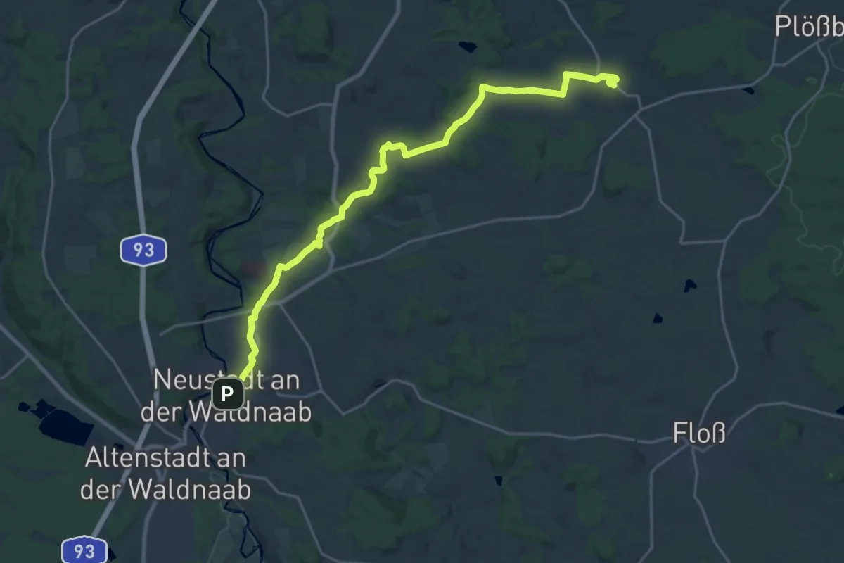
Demanding · Trail
Neustadt - Wildenau
21.1 km · ↑ 299 m · 5 h 38 min
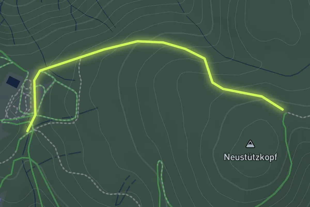
Easy · Trail
Neustütz - Spänplatz
2.5 km · ↑ 81 m · 46 min
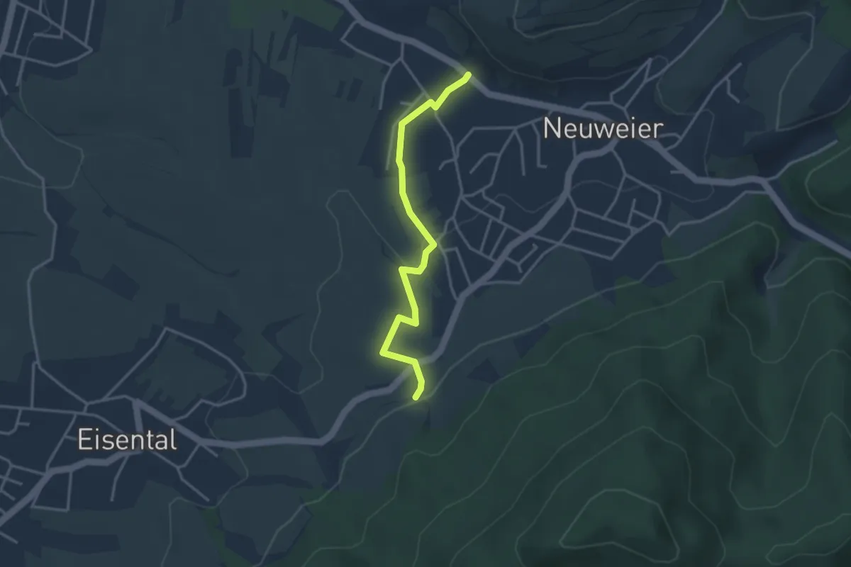
Easy · Trail
Neuweier Abzweig Schartenbergstraße - Scharbühl
3.0 km · ↑ 77 m · 53 min
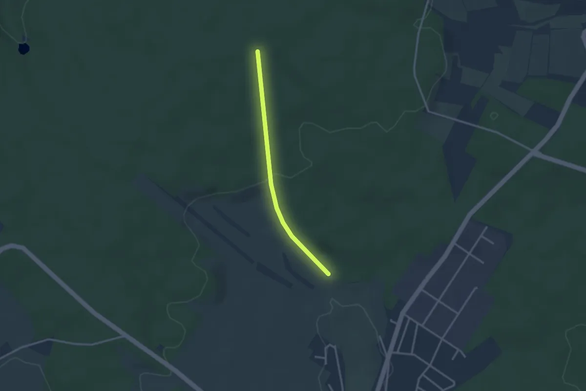
Easy · Trail
Neuweiler Eck - Linde
2.4 km · ↑ 64 m · 42 min
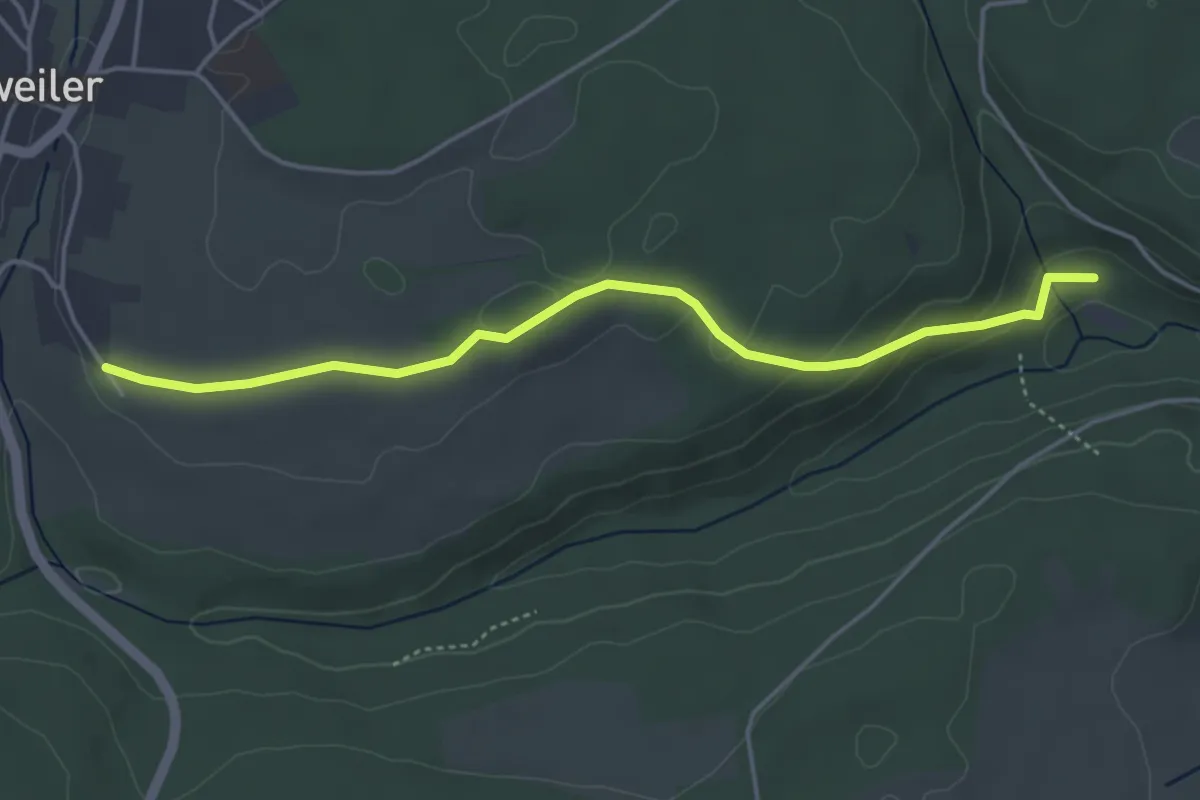
Easy · Trail
Neuweiler Eitelsbach - Neuweiler Friedhof
4.3 km · ↑ 124 m · 1 h 18 min
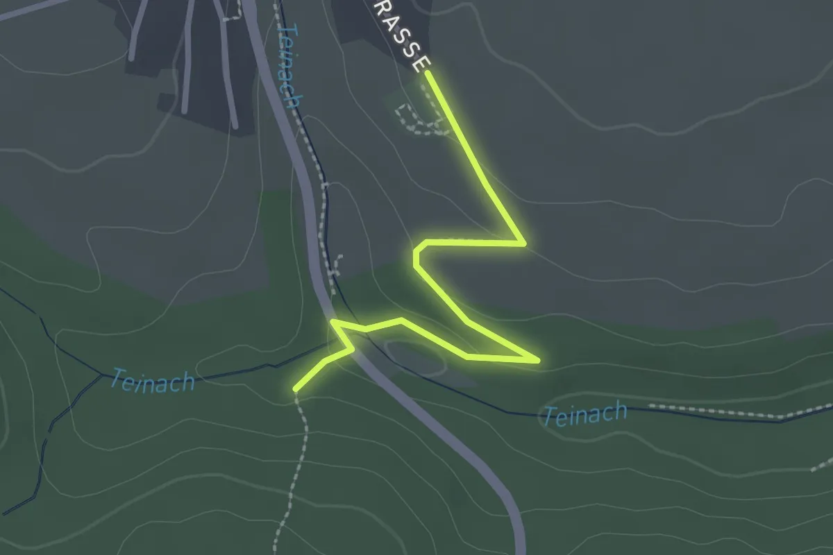
Easy · Trail
Neuweiler Friedhof - Im Grund
2.4 km · ↑ 41 m · 39 min
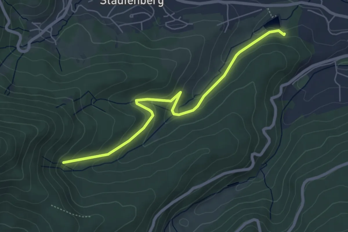
Easy · Trail
Neuwiese - Träufelbachsee
5.0 km · ↑ 199 m · 1 h 37 min
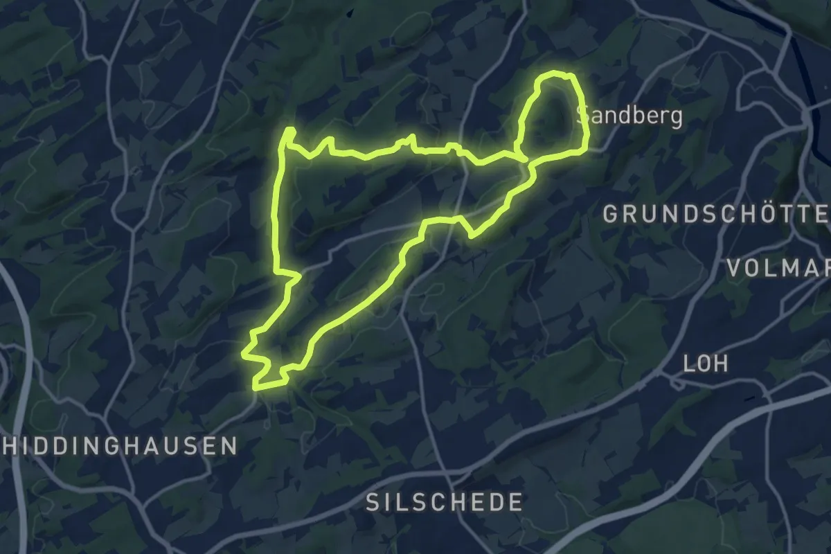
Medium · Summit
Neuwülfingsburg-Weg
12.6 km · ↑ 263 m · 3 h 43 min
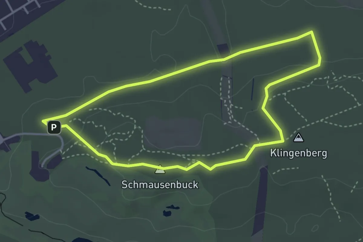
Easy · Summit
Never Walk Alone 1
3.3 km · ↑ 56 m · 57 min
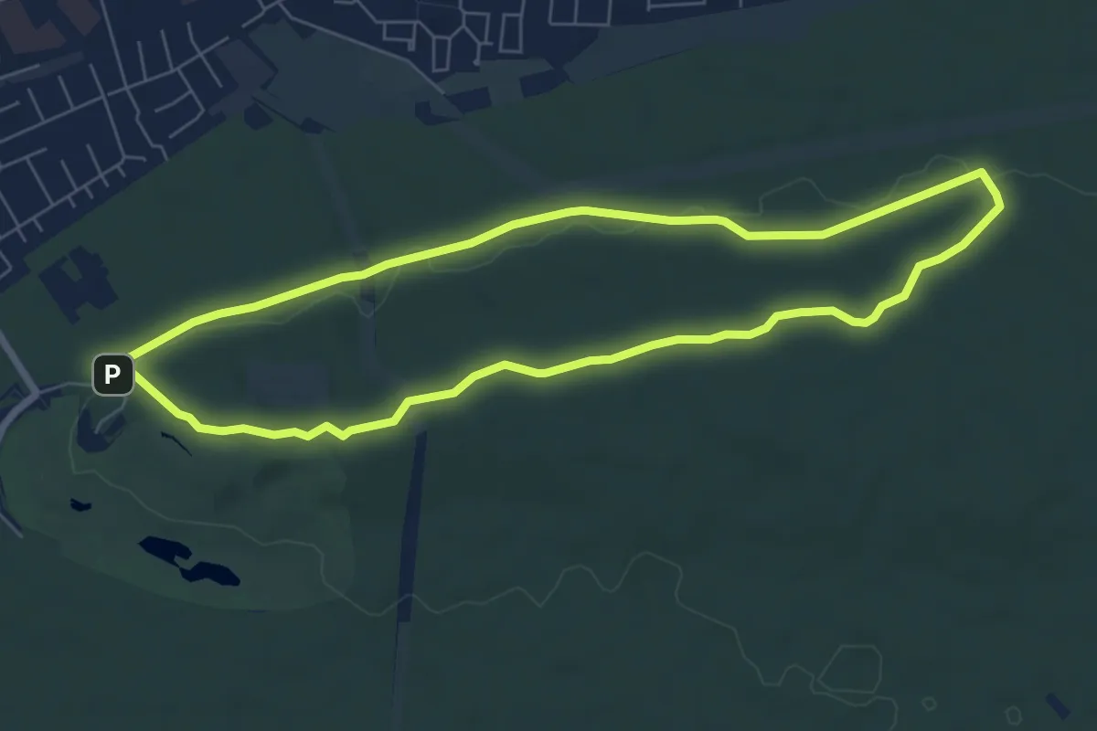
Easy · Summit
Never Walk Alone 2
6.3 km · ↑ 80 m · 1 h 45 min
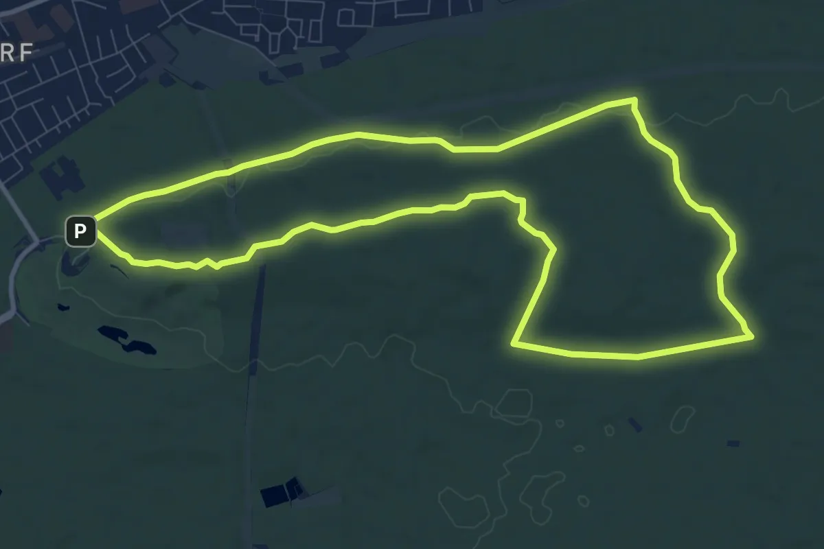
Medium · Summit
Never Walk Alone 3
9.7 km · ↑ 117 m · 2 h 40 min
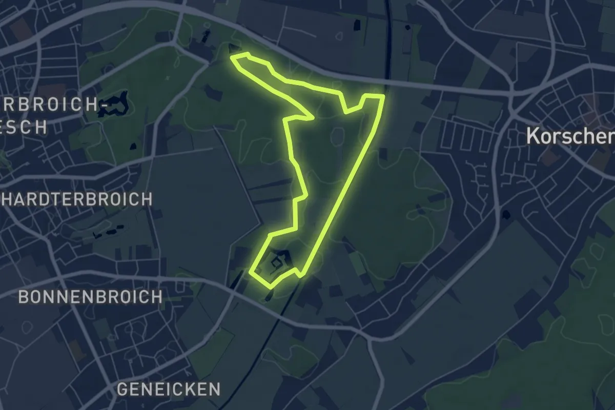
Easy · Trail
NEW-Laufstrecke "blau"
5.2 km · ↑ 17 m · 1 h 21 min
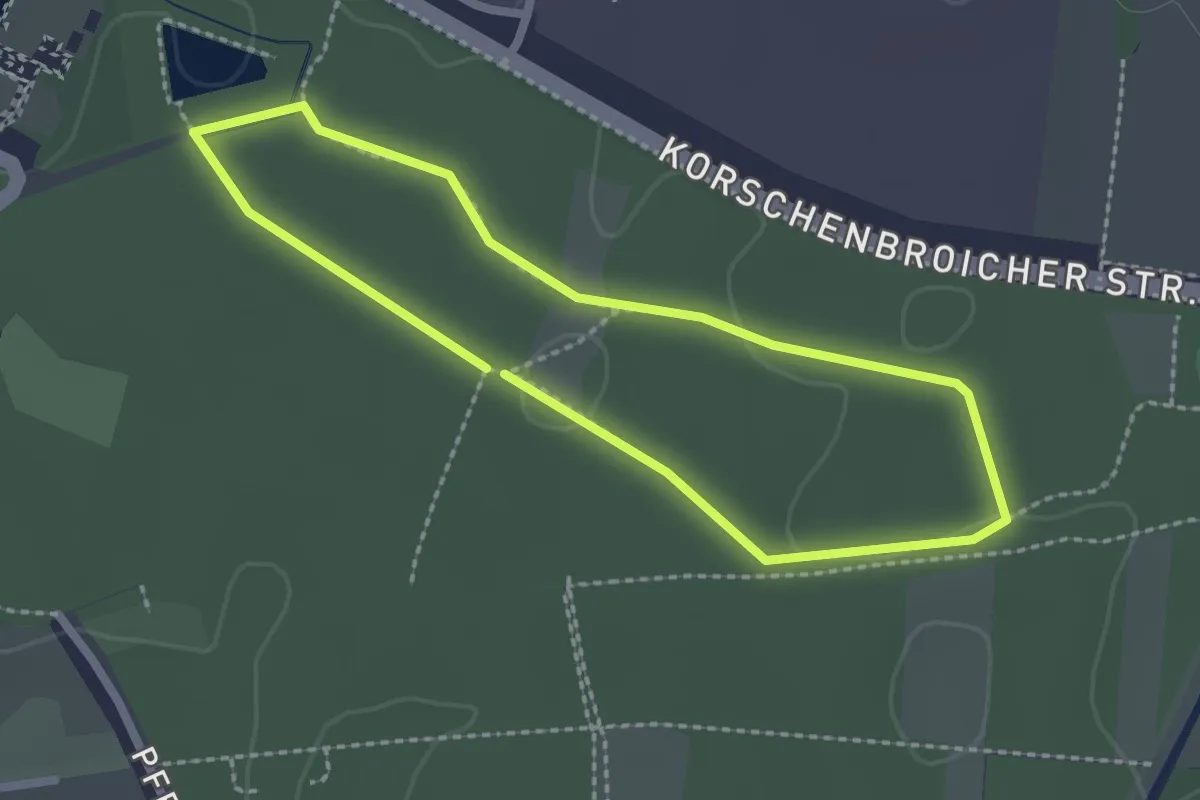
Easy · Trail
NEW-Laufstrecke "gelb"
1.9 km · ↑ 4 m · 29 min
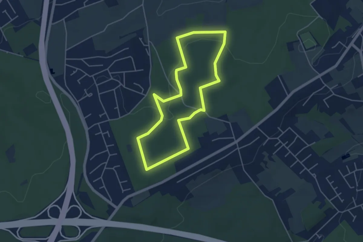
Easy · Trail
[NH1] Dortmund-Mittelhöchsten Rundweg
3.6 km · ↑ 90 m · 1 h 5 min
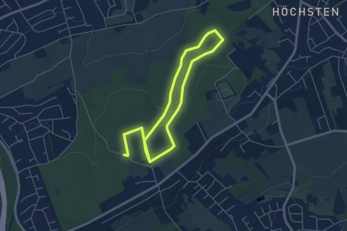
Easy · Trail
[NH2] Dortmund-Mittelhöchsten Rundweg
3.6 km · ↑ 41 m · 59 min
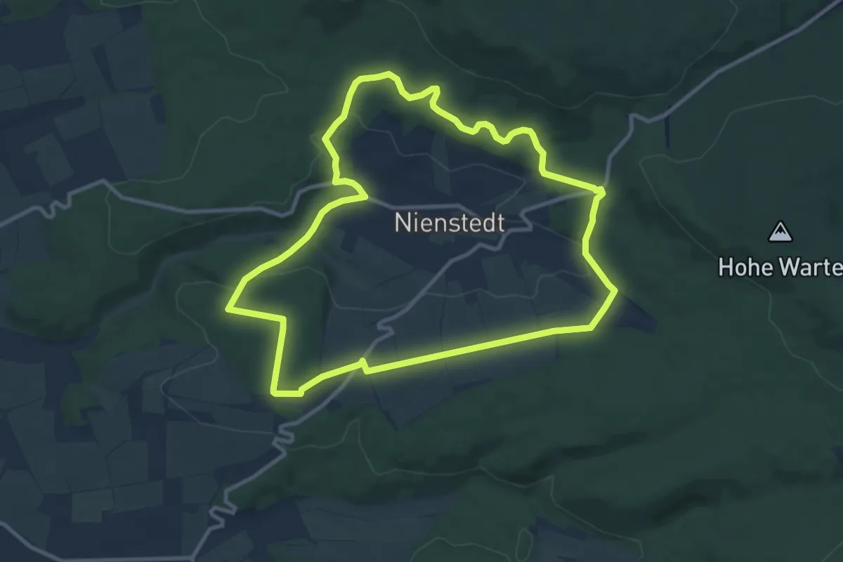
Medium · Trail
NI 1
9.0 km · ↑ 196 m · 2 h 41 min
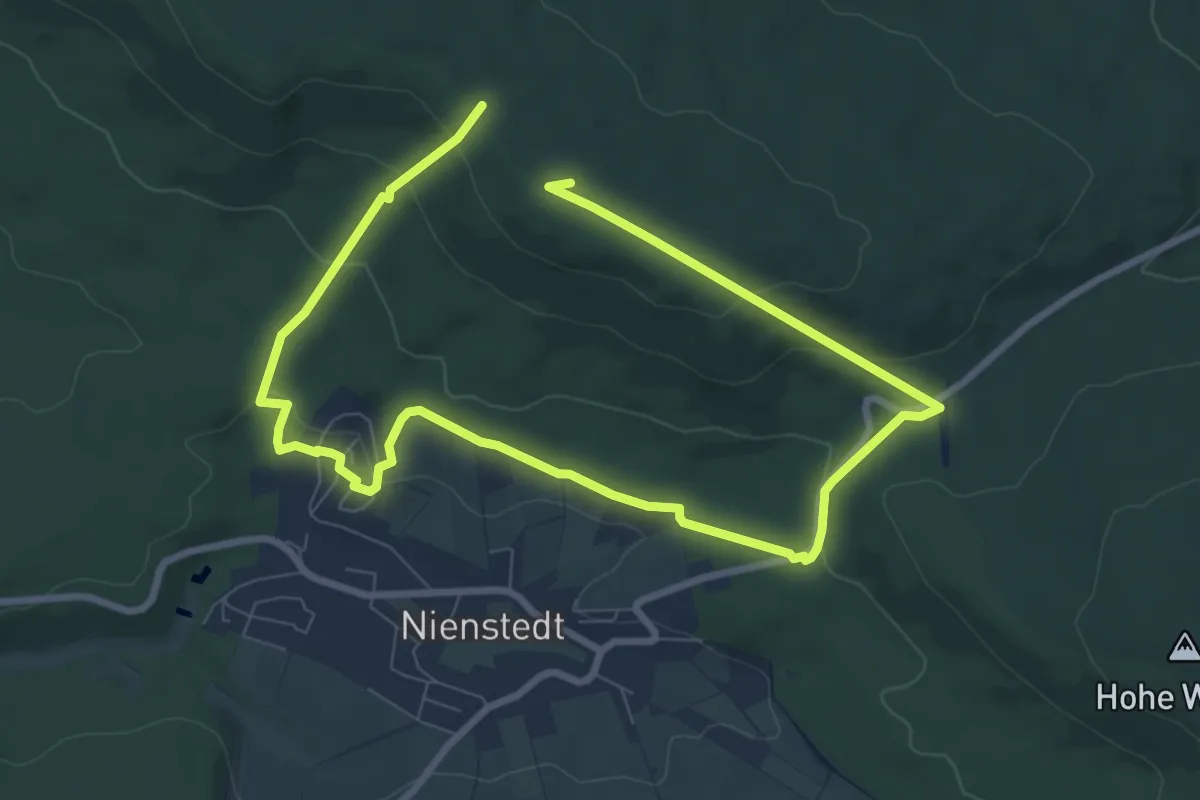
Medium · Summit
Ni5 Rundweg Nordmannsturm
11.8 km · ↑ 409 m · 3 h 41 min
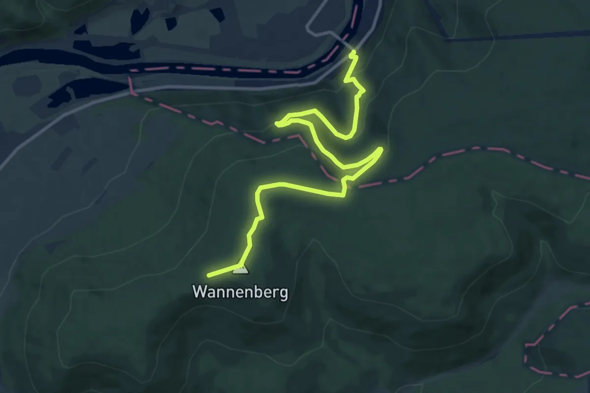
Medium · Trail
Nibelungensteig
10.7 km · ↑ 417 m · 3 h 25 min
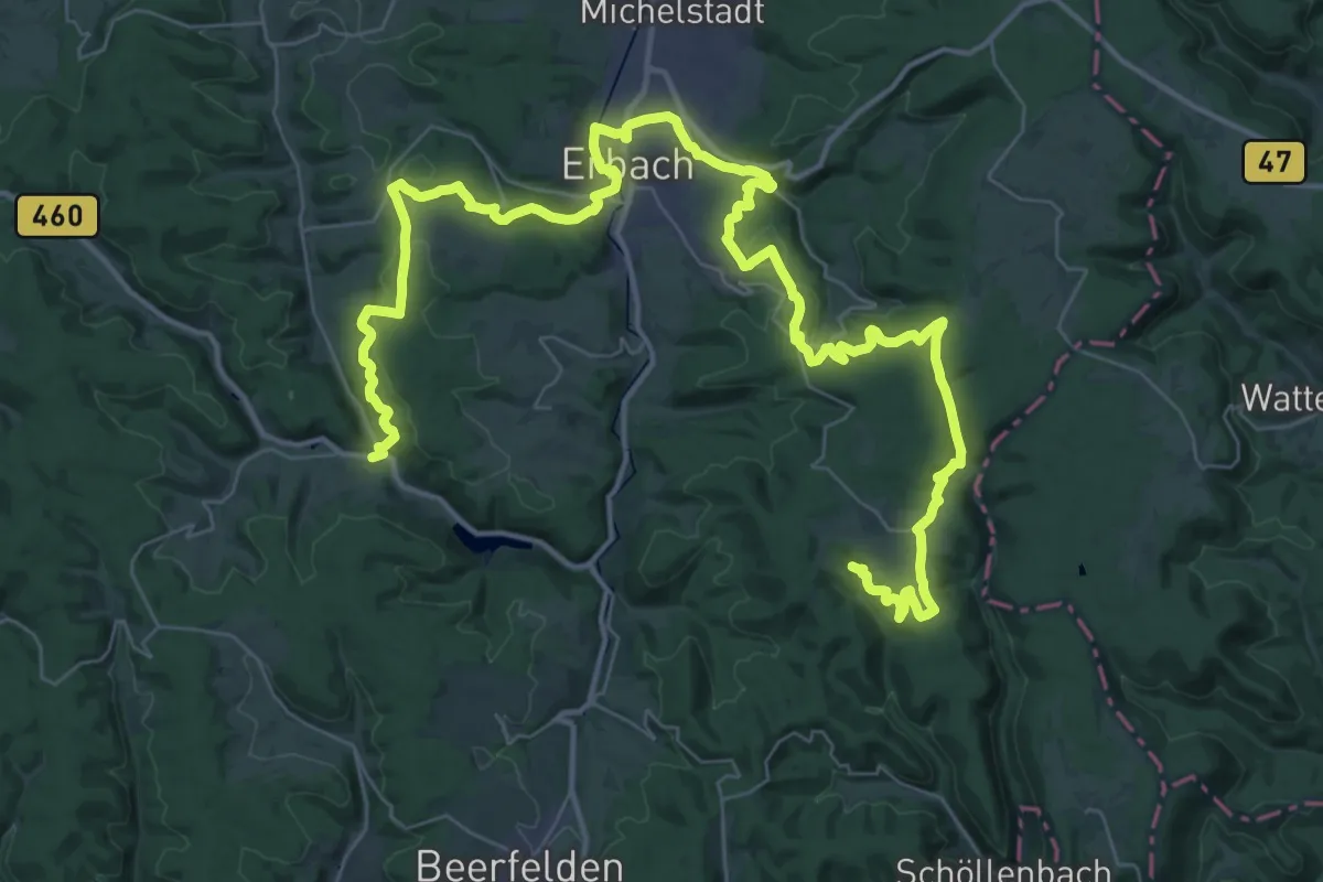
Demanding · Trail
Nibelungensteig - Variante Erbach
28.1 km · ↑ 831 m · 8 h 43 min
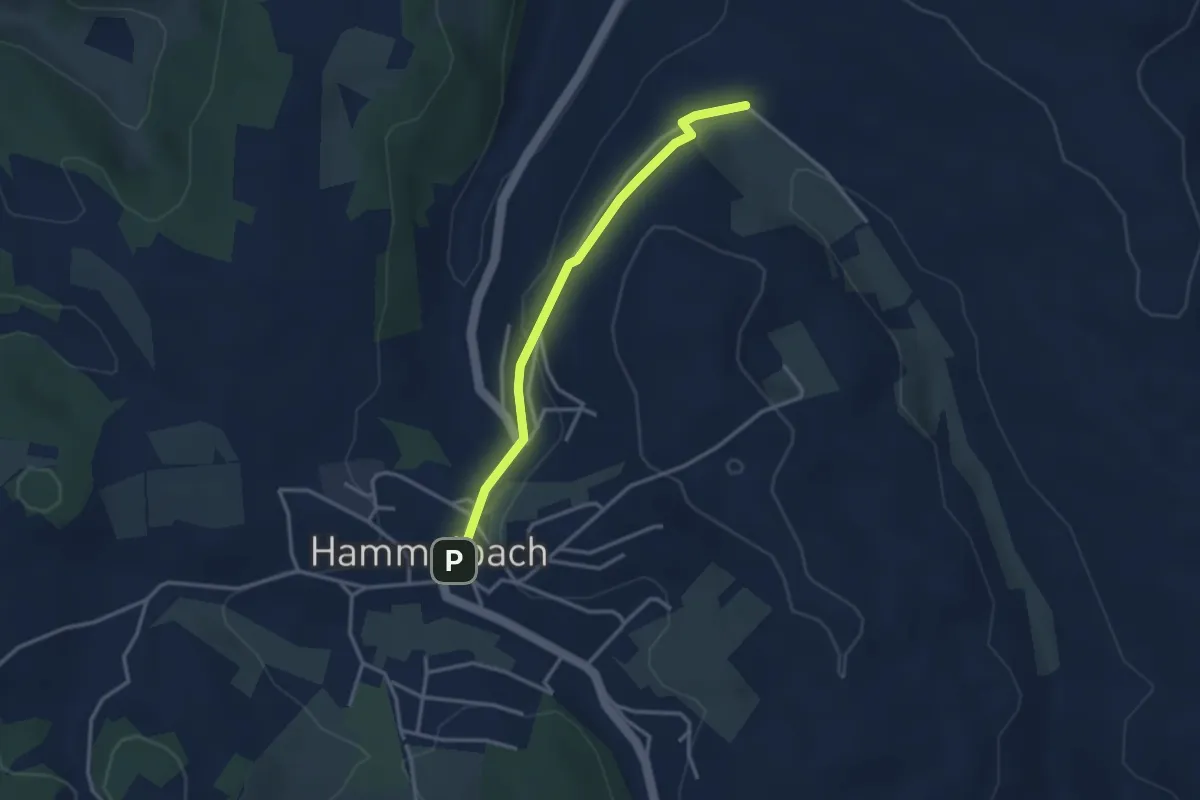
Easy · Trail
Nibelungensteig Zubringer
2.8 km · ↑ 74 m · 50 min
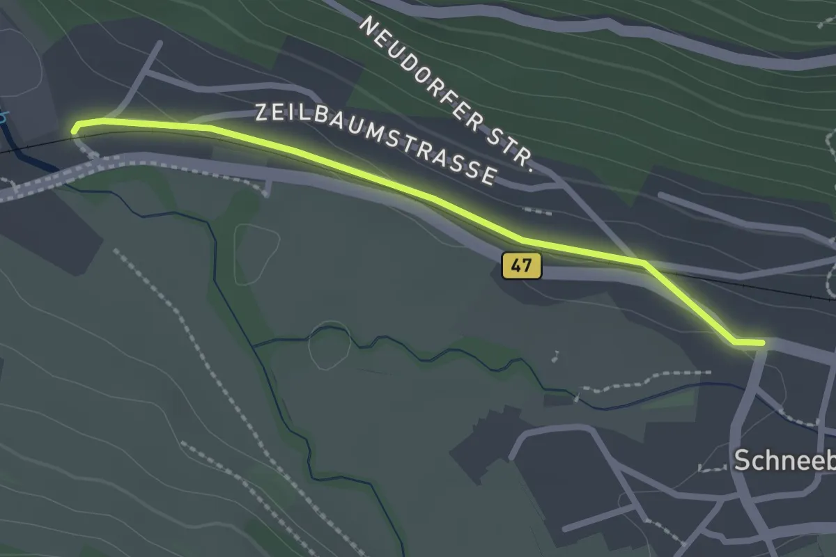
Easy · Trail
Nibelungensteig Zubringer
2.0 km · ↑ 32 m · 33 min
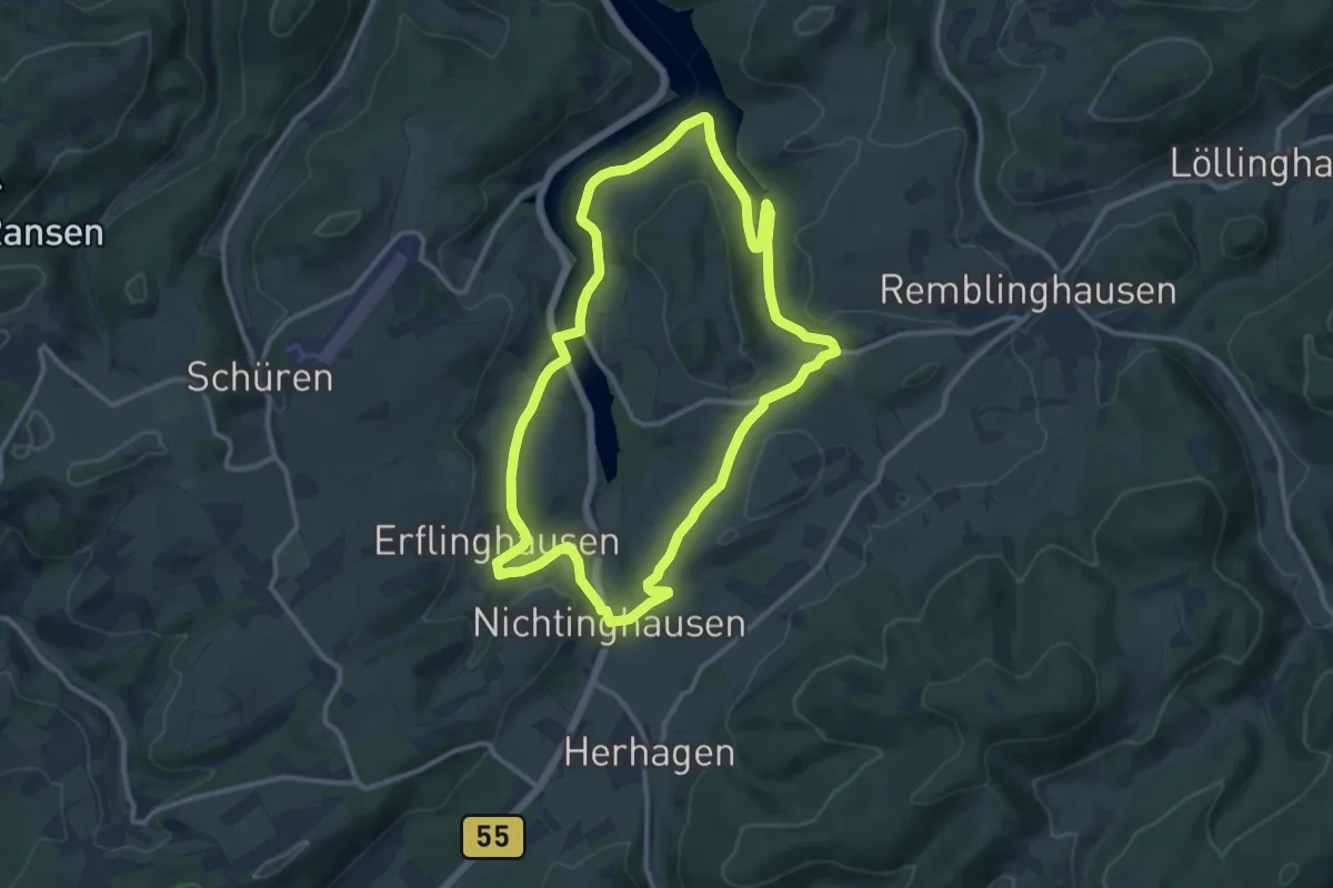
Medium · Trail
Nichtinghausen A2
10.3 km · ↑ 193 m · 3 h
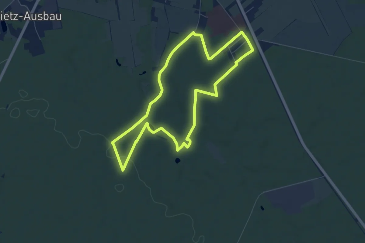
Easy · Trail
Nickert Rundweg
6.6 km · ↑ 61 m · 1 h 47 min
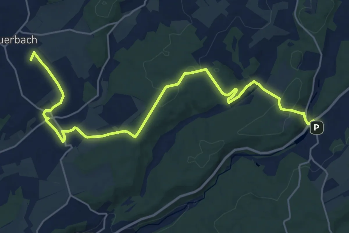
Medium · Summit
Nidda - Nidder - Weg
16.9 km · ↑ 341 m · 4 h 44 min
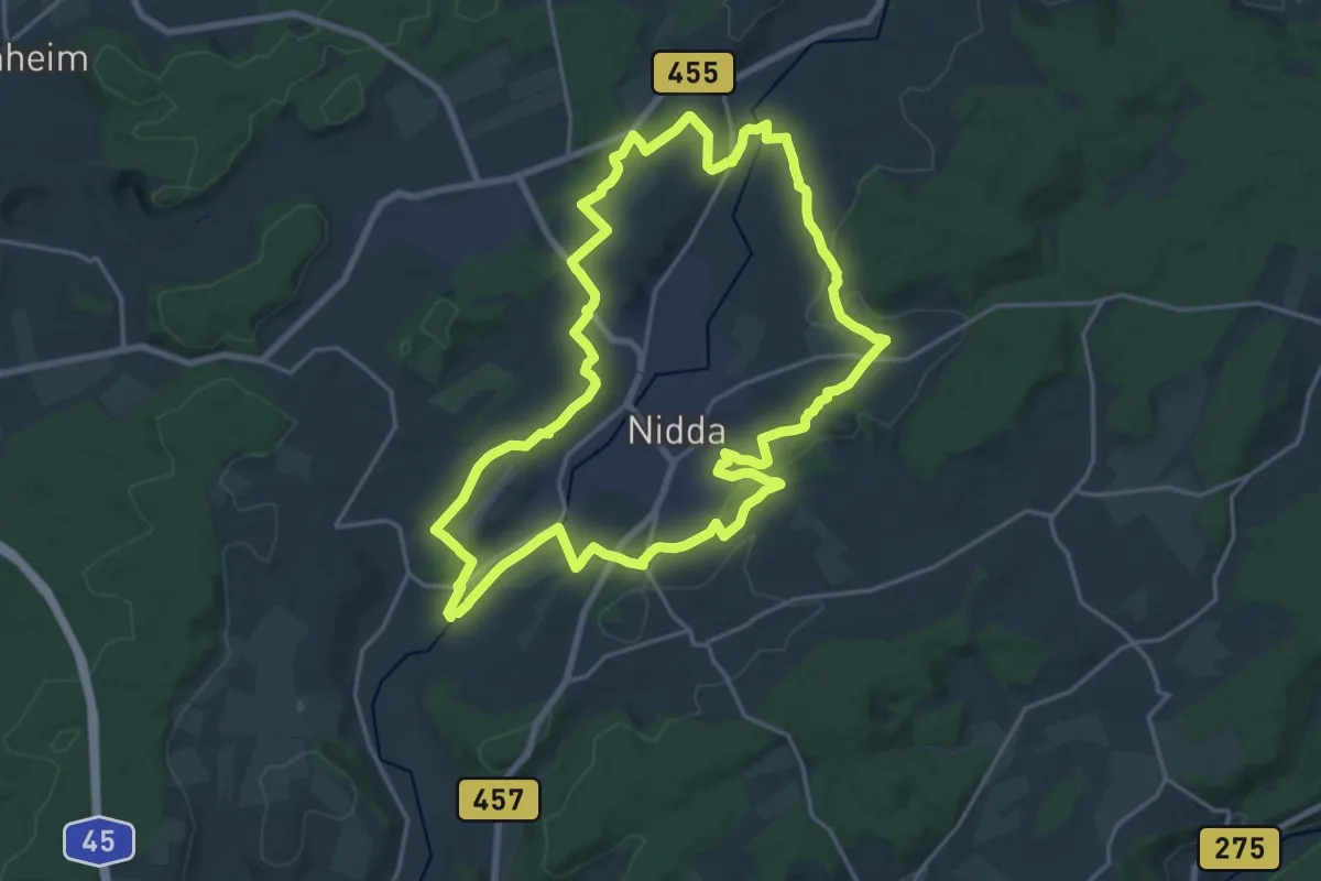
Demanding · Trail
Nidda-Rundweg
18.5 km · ↑ 319 m · 5 h 19 min
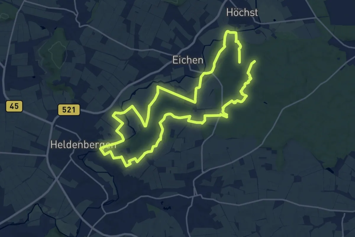
Medium · Trail
Nidderauen
16.3 km · ↑ 152 m · 4 h 24 min
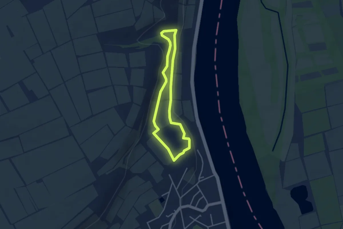
Easy · Trail
NIE1
2.7 km · ↑ 61 m · 48 min
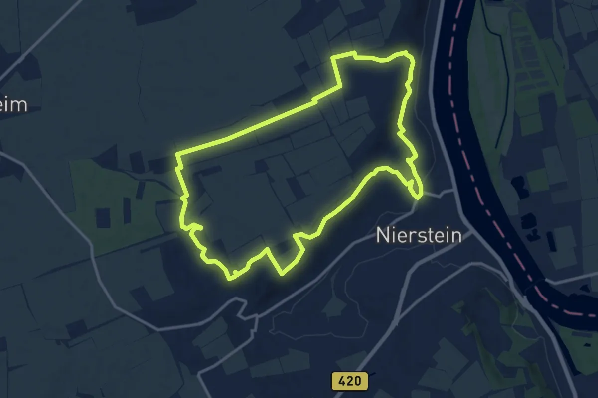
Medium · Trail
NIE2
10.0 km · ↑ 205 m · 2 h 56 min
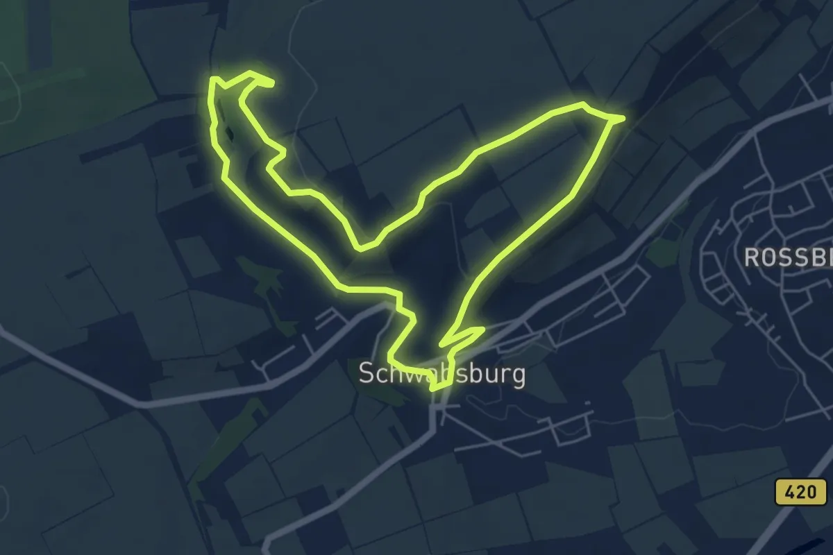
Easy · Trail
NIE3
5.1 km · ↑ 98 m · 1 h 29 min
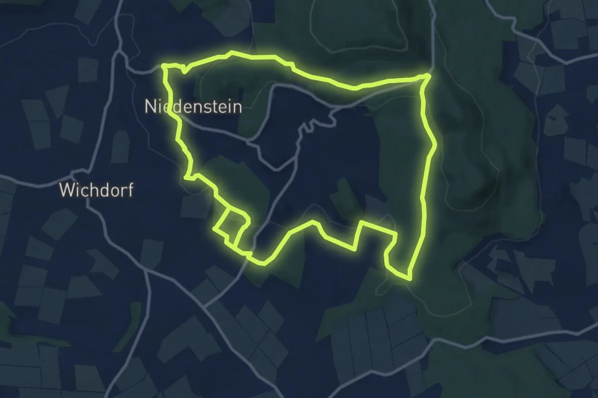
Medium · Trail
Niedenstein, N2 - Langenbergweg
10.2 km · ↑ 240 m · 3 h 5 min