Trails in Germany
36,852 hiking trails, each with its route, climb, walking time and grade.
All trails, page 389 of 768
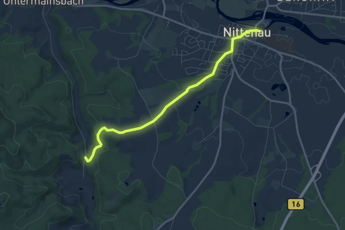
Easy · Trail
O 32 Nittenau - Dobl (Rotes Rechteck)
7.1 km · ↑ 131 m · 1 h 58 min
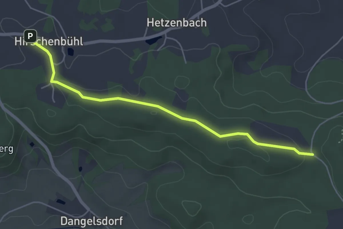
Easy · Trail
O 33 Hirschenbühl - Hetzenbacher Höhe (Rotes Dreieck)
4.4 km · ↑ 51 m · 1 h 9 min
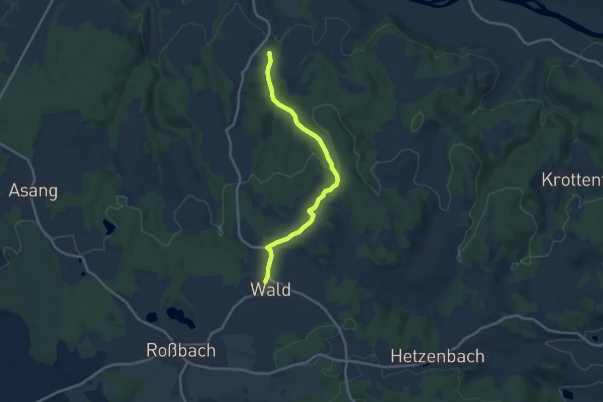
Easy · Trail
O 36 Reichenbach - Wald (Grünes Rechteck)
7.8 km · ↑ 211 m · 2 h 19 min
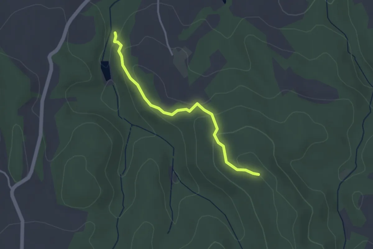
Easy · Summit
O 37 Reichenbach - Kolmberg (Rotes Rechteck)
2.8 km · ↑ 103 m · 52 min
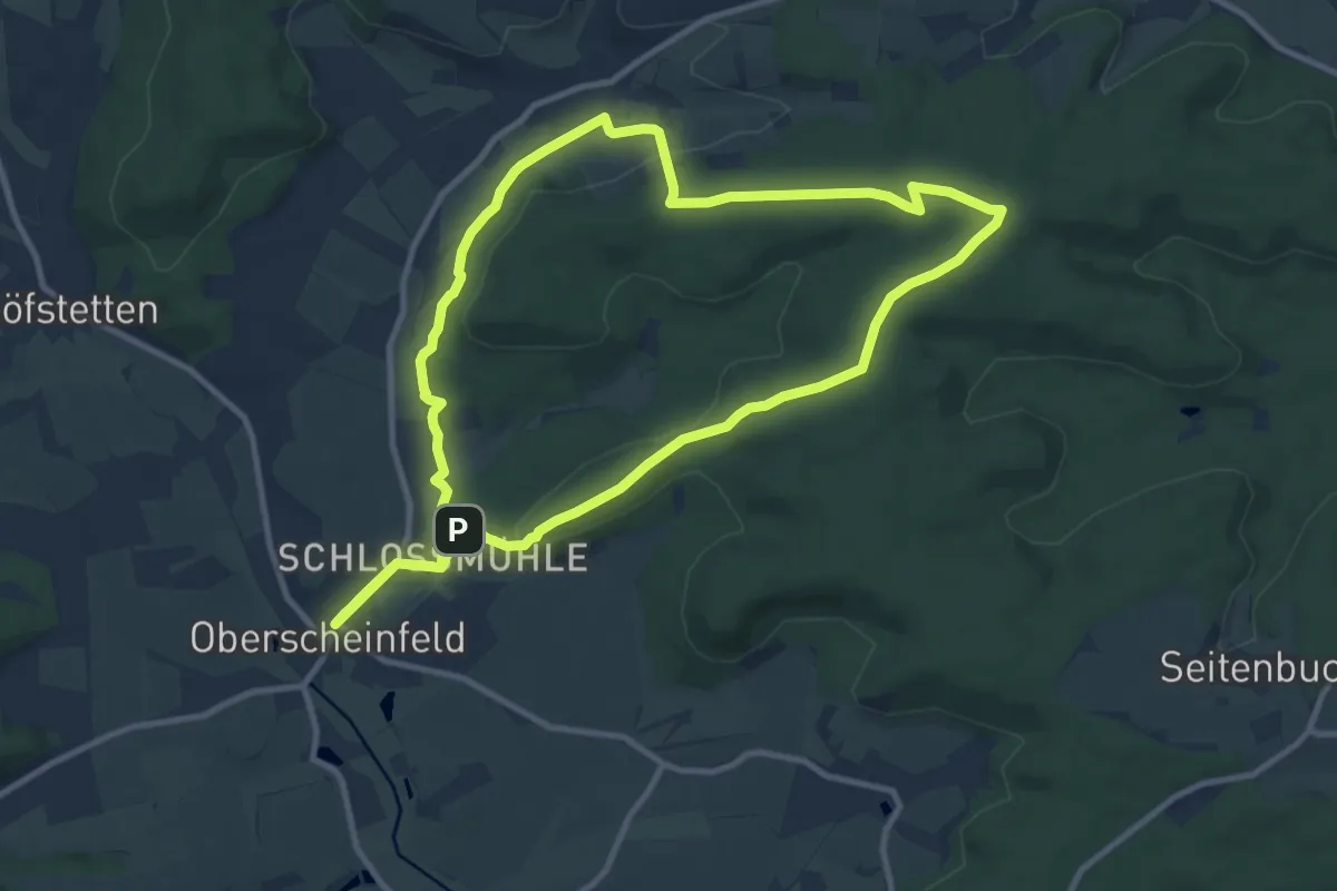
Medium · Summit
O4
10.0 km · ↑ 212 m · 2 h 59 min
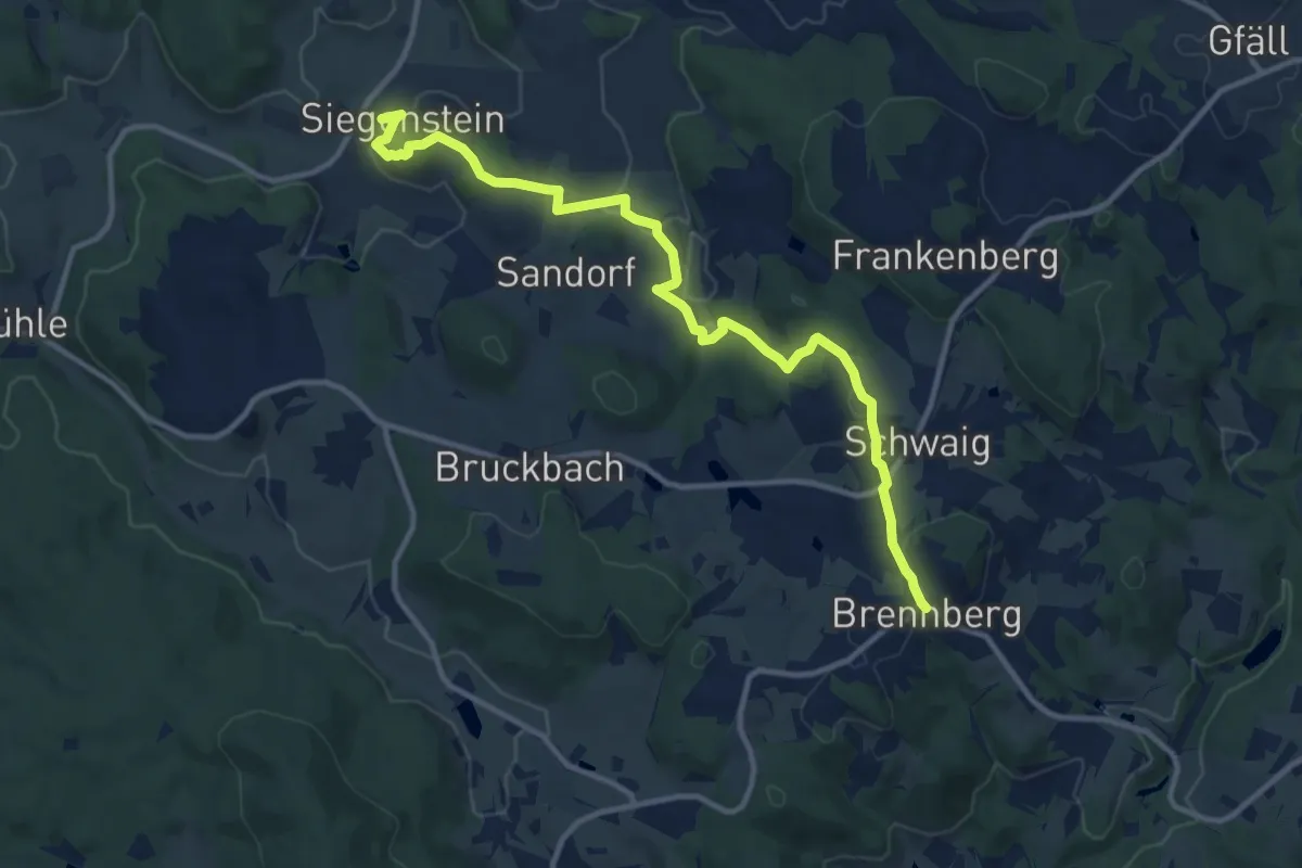
Medium · Trail
O 40 Brennberg - Siegenstein (Rotes Rechteck)
11.8 km · ↑ 266 m · 3 h 22 min
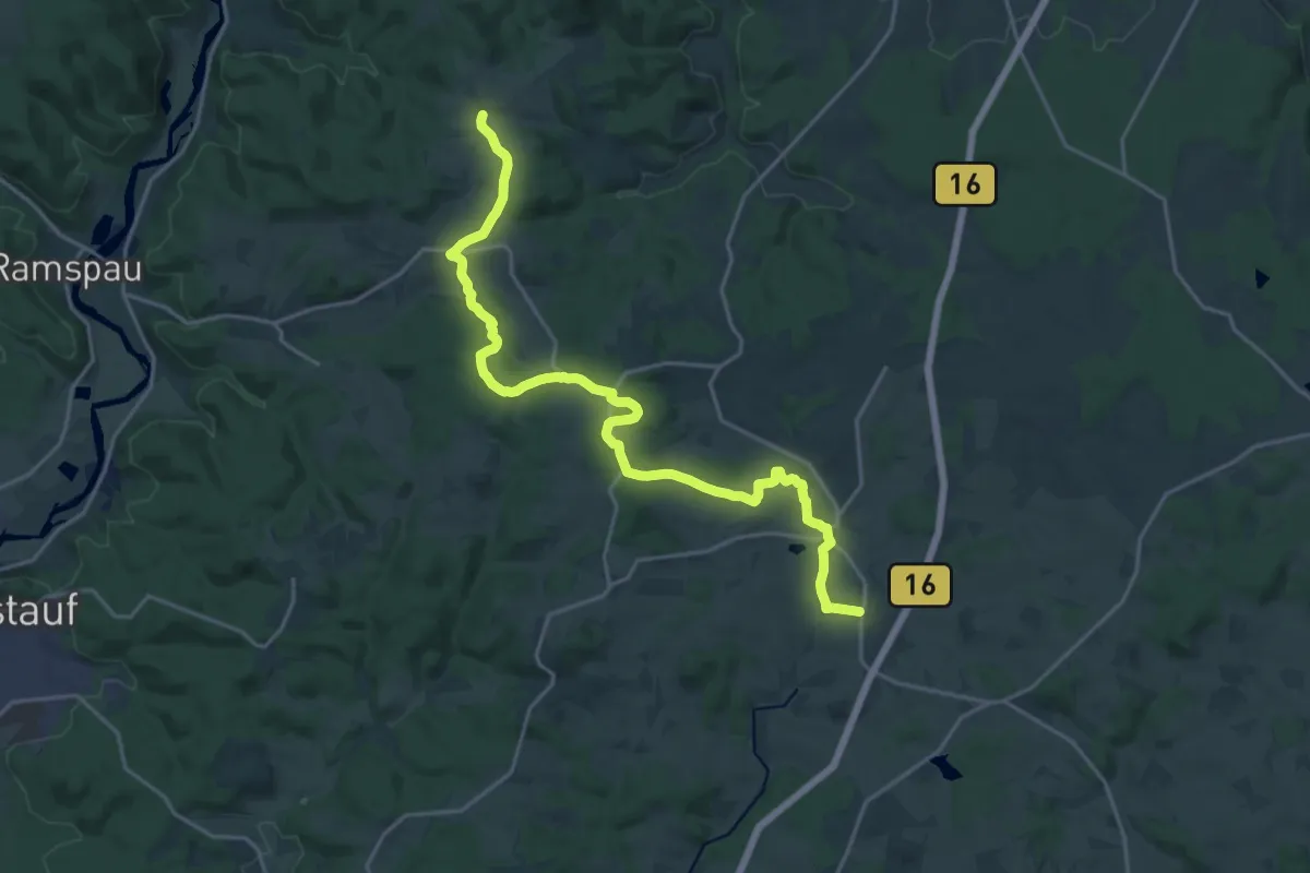
Demanding · Trail
O 41 Grafenwinn - Hauzendorf (Rotes Dreieck)
21.6 km · ↑ 359 m · 5 h 52 min
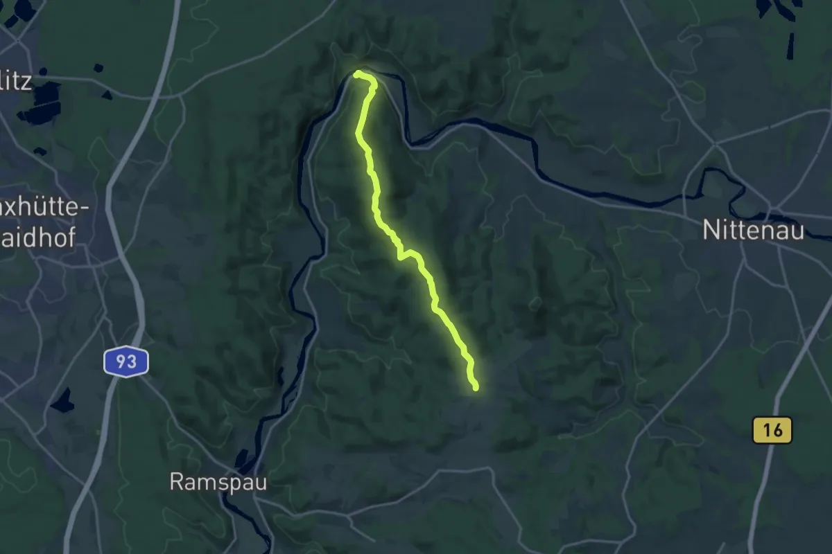
Medium · Trail
O 42 Marienthal - Grafenwinn
13.8 km · ↑ 446 m · 4 h 14 min
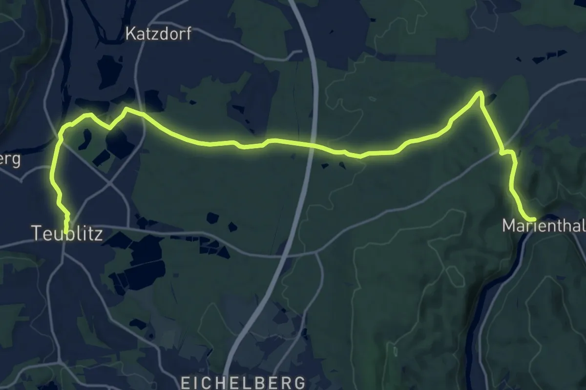
Demanding · Trail
O 43 Marienthal - Teublitz (Rotes Dreieck)
20.5 km · ↑ 199 m · 5 h 16 min
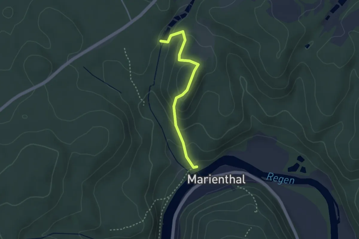
Easy · Trail
O 44 Stockenfels (Grünes Rechteck)
2.7 km · ↑ 137 m · 56 min
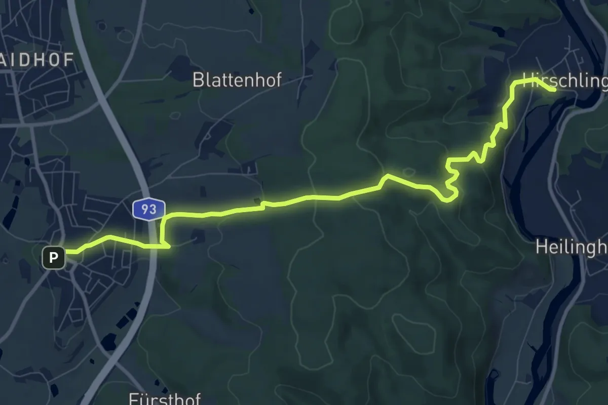
Medium · Trail
O 45 Leonberg - Hirschling (Grünes Rechteck)
10.1 km · ↑ 305 m · 3 h 3 min
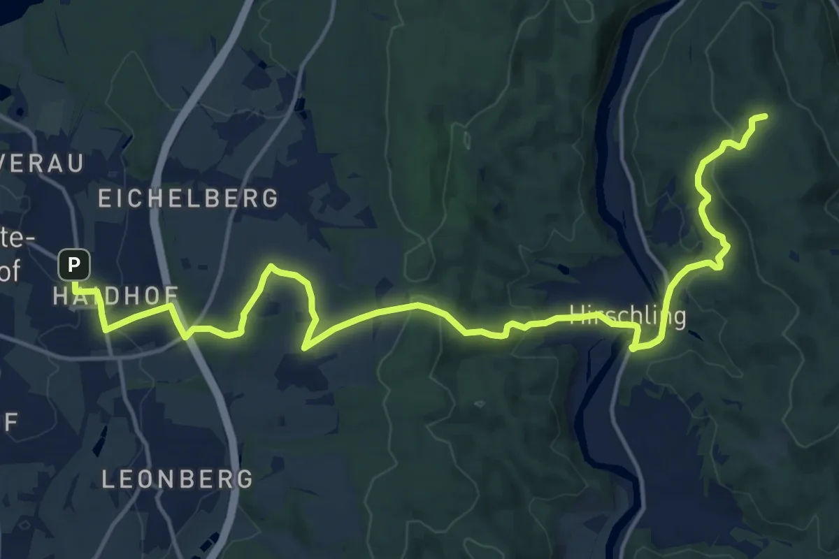
Medium · Trail
O 46 Bahnhof Maxhütte-Haidhof - Knotenpunkt Geilenberg (Rotes Rechteck)
18.0 km · ↑ 507 m · 5 h 20 min
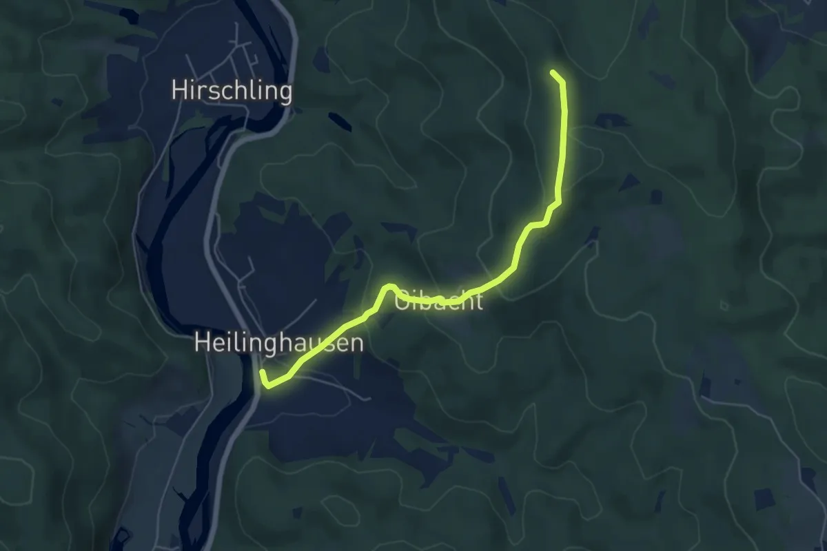
Easy · Trail
O 47 Heilinghausen - Hohenstein (Grünes Rechteck)
5.1 km · ↑ 227 m · 1 h 42 min
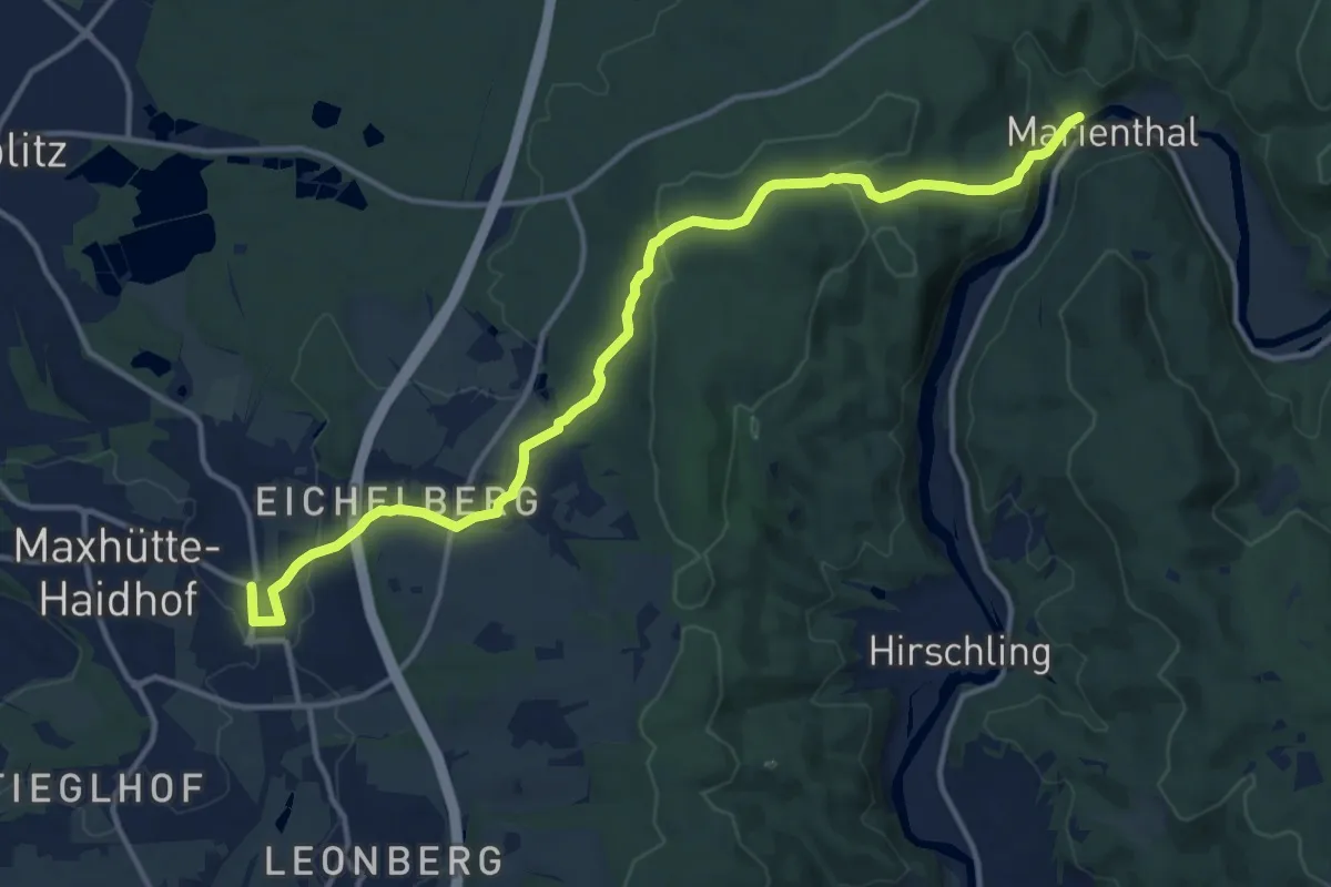
Medium · Trail
O 48 Bahnhof Maxhütte-Haidhof - Marienthal (Blaues Rechteck)
14.1 km · ↑ 351 m · 4 h 5 min
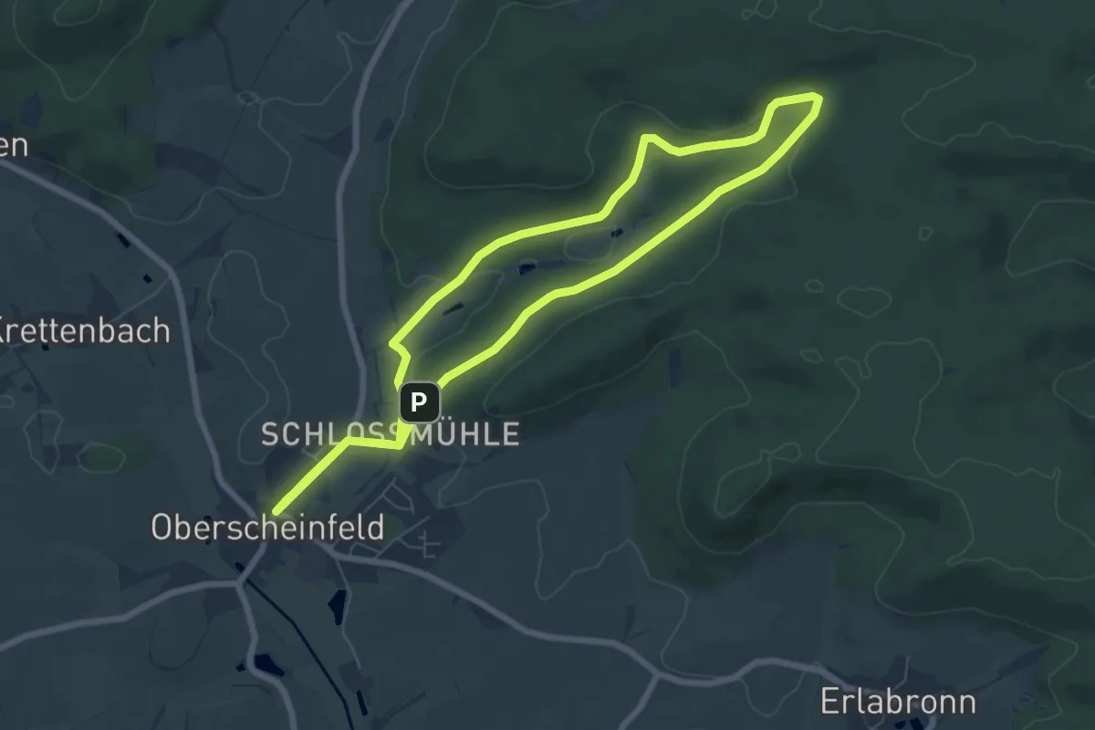
Easy · Trail
O5
6.4 km · ↑ 112 m · 1 h 52 min
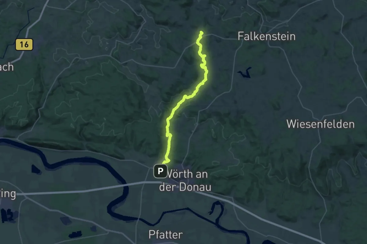
Demanding · Trail
O 50 Wiesent - Gfäll (Rotes Dreieck)
28.7 km · ↑ 543 m · 7 h 58 min
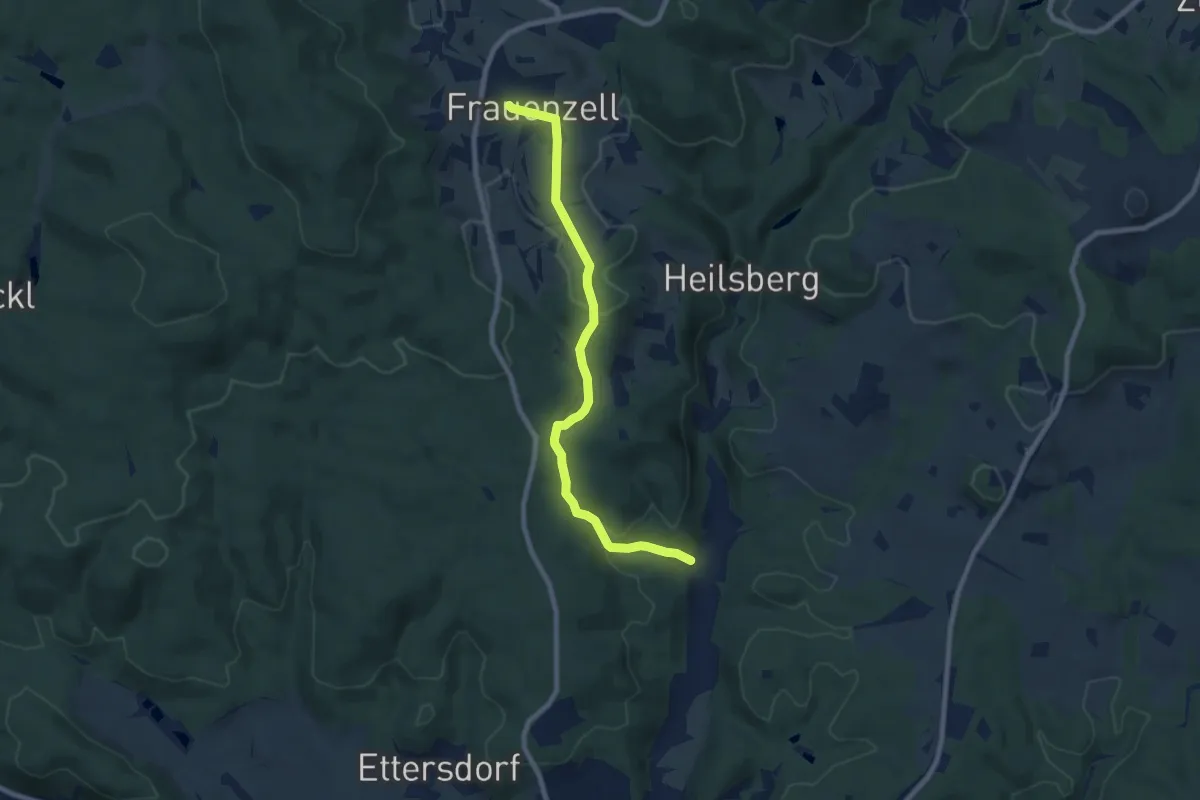
Easy · Trail
O 51 Frauenzell - Wiesent (Rotes Rechteck)
7.6 km · ↑ 198 m · 2 h 14 min
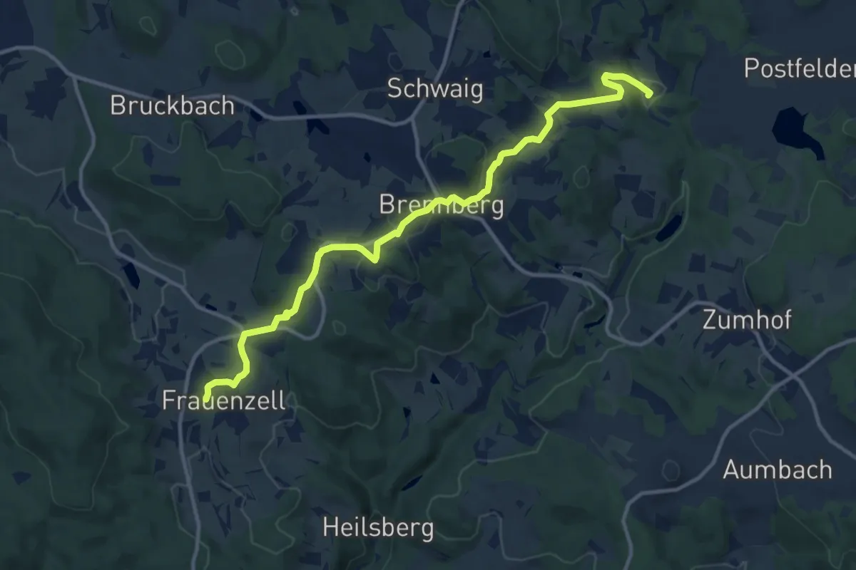
Medium · Trail
O 53 Höllbachtal - Frauenzell (Grünes Rechteck)
12.0 km · ↑ 269 m · 3 h 24 min
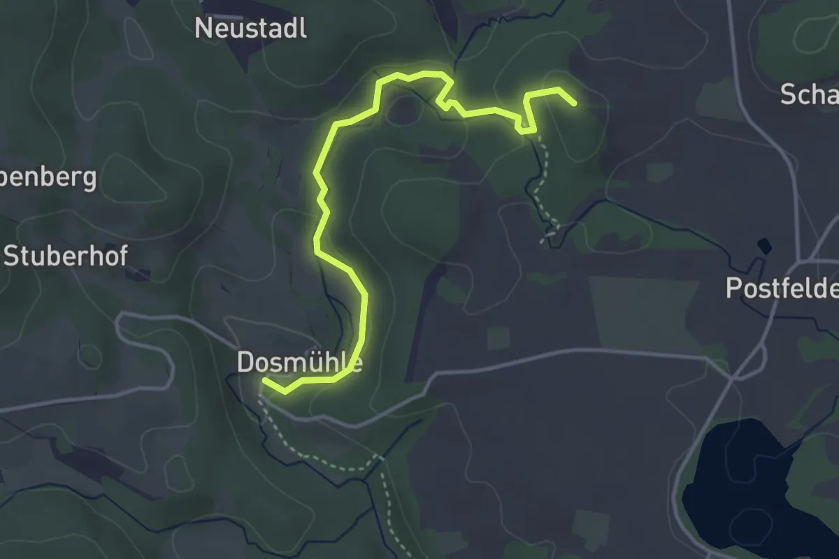
Medium · Trail
O 54 Tannerl - Höllbachtal / Dosmühle (Grünes Rechteck)
3.7 km · ↑ 109 m · 1 h 7 min
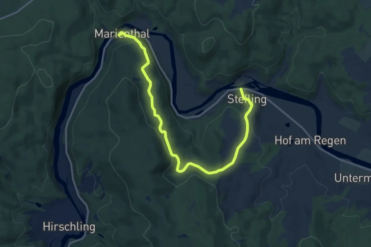
Medium · Trail
O 58 Stefling - Marienthal (Rotes Rechteck)
10.3 km · ↑ 366 m · 3 h 13 min
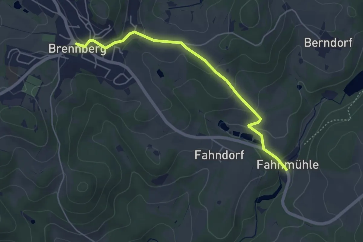
Easy · Trail
O 59 Höllbachtal - Brennberg (Rotes Rechteck)
4.1 km · ↑ 141 m · 1 h 16 min
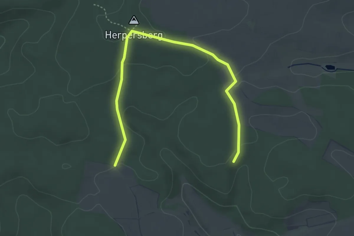
Easy · Summit
O6
2.2 km · ↑ 62 m · 41 min
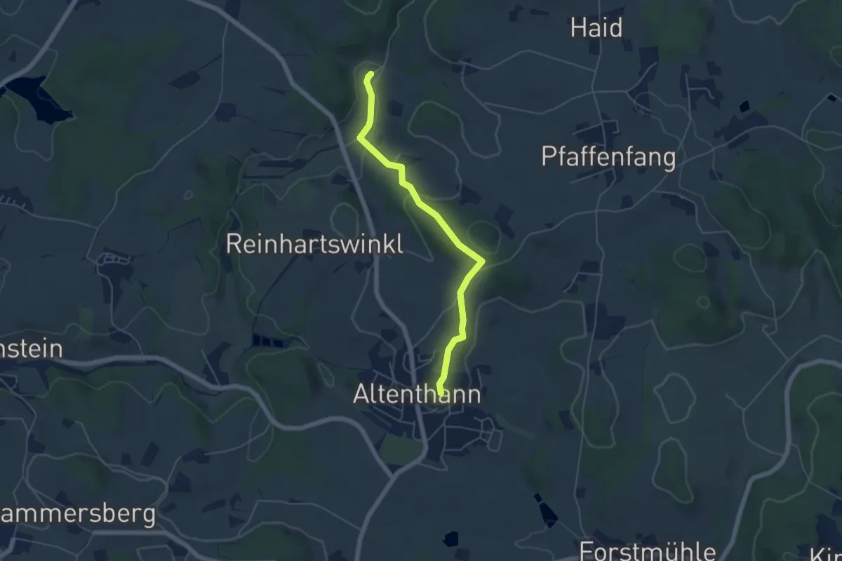
Easy · Trail
O 62 Hornismühle - Altenthann (Rotes Rechteck)
4.7 km · ↑ 151 m · 1 h 26 min
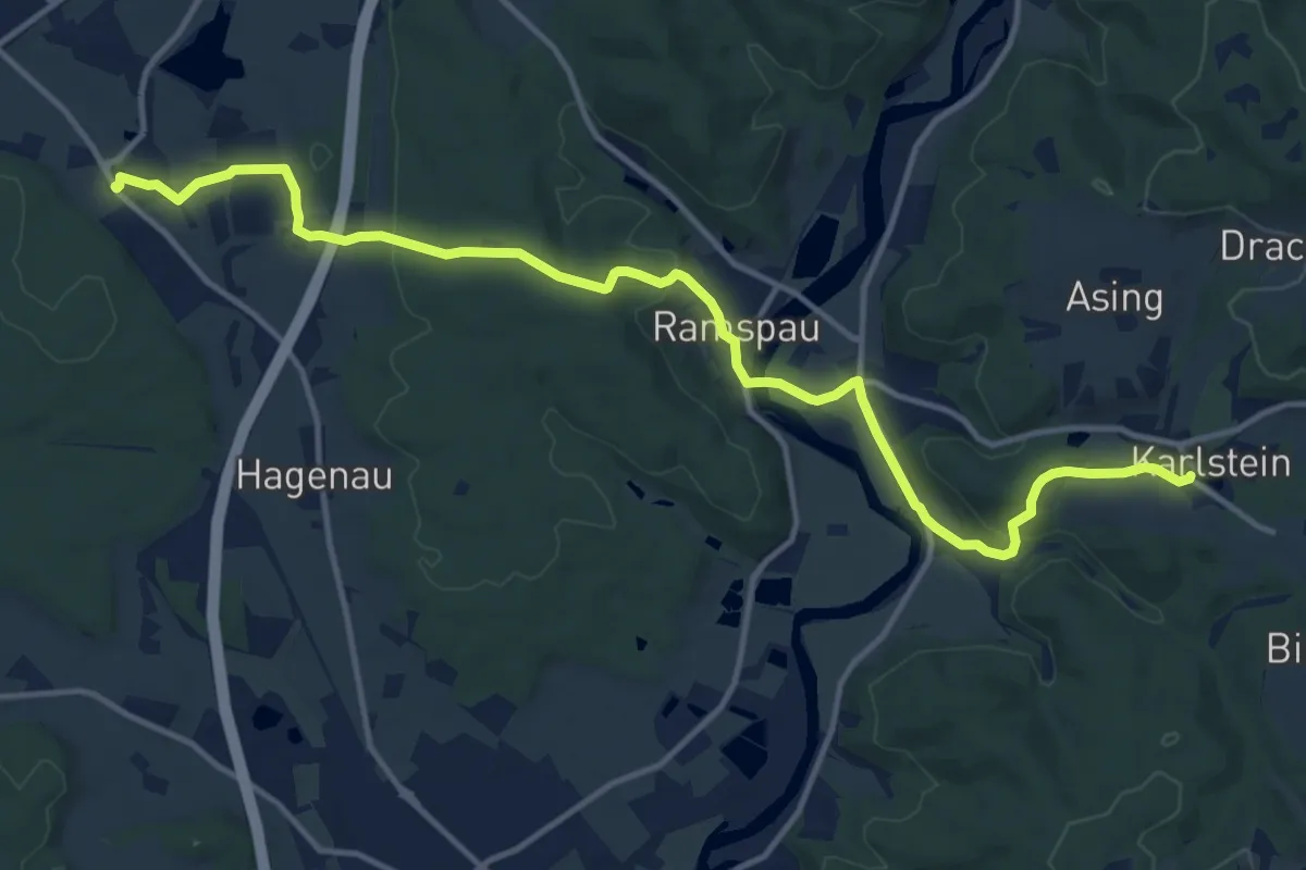
Medium · Trail
O 63 Ponholz - Karlstein (Grünes Rechteck)
14.6 km · ↑ 326 m · 4 h 10 min
Medium · Trail
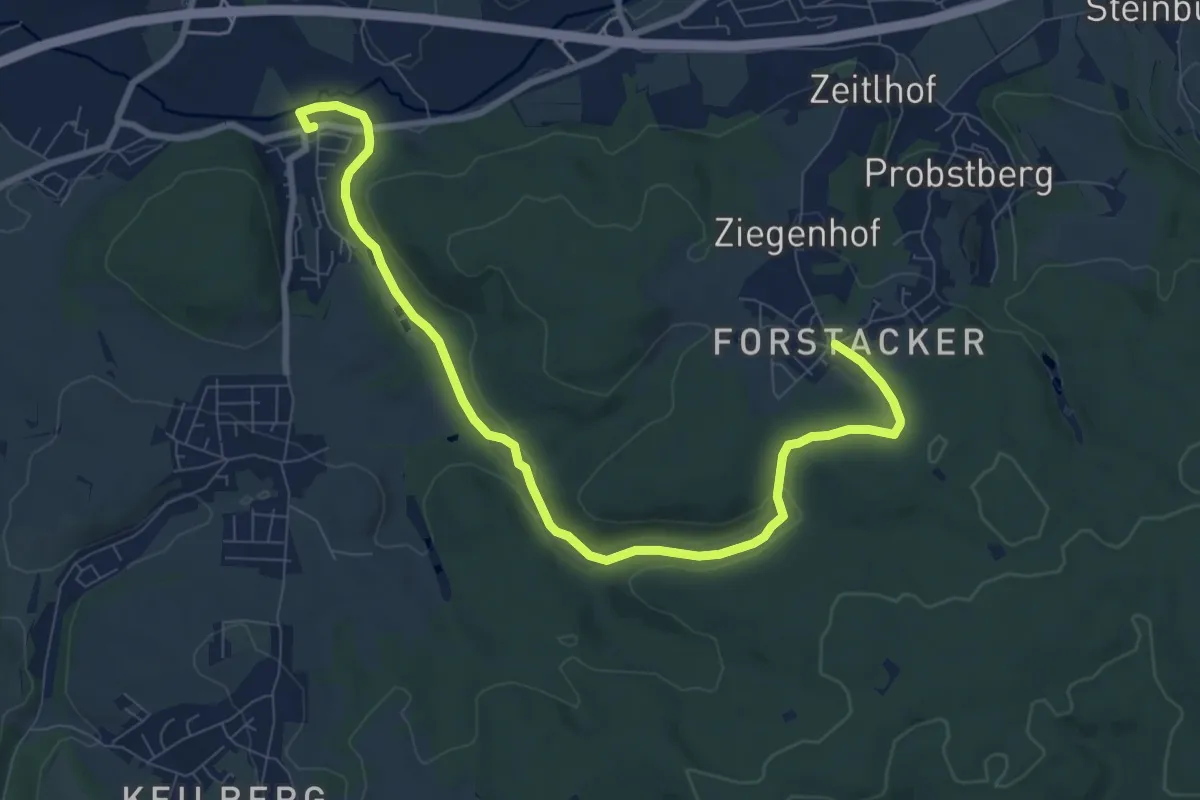
O 64 Irlbach - Forstacker (Blaues Rechteck)
9.5 km · ↑ 168 m · 2 h 36 min
Easy · Trail
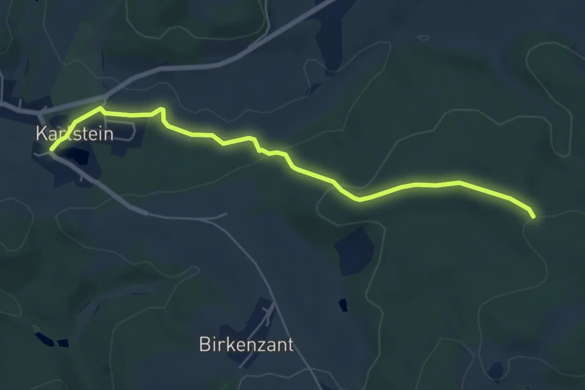
O 65 Karlstein - Abzweig n. Kirchberg oder Ödenhof
5.1 km · ↑ 128 m · 1 h 28 min
Medium · Trail
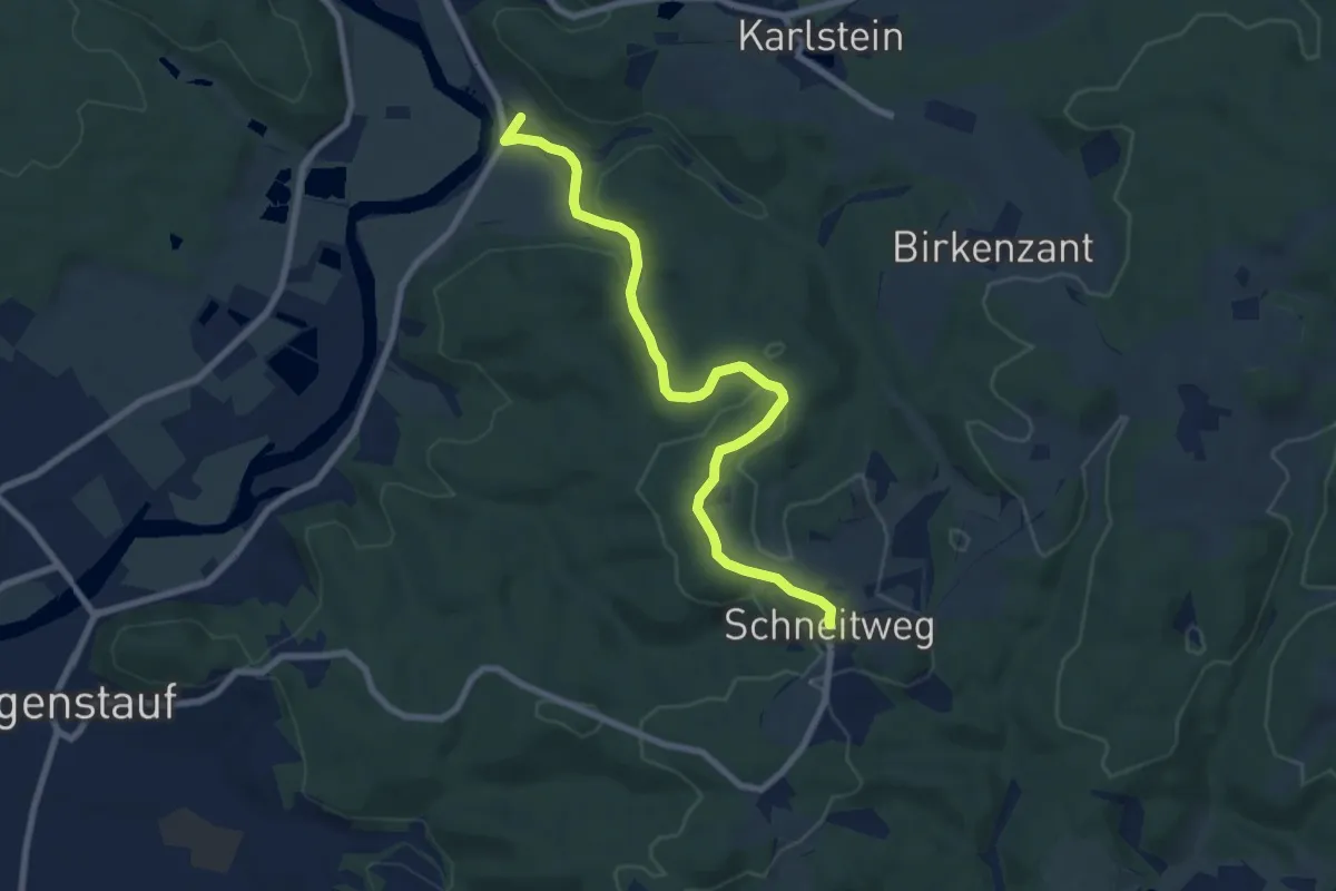
O 66 Stadel - Schneitweg (Blaues Rechteck)
8.1 km · ↑ 197 m · 2 h 20 min
Medium · Summit
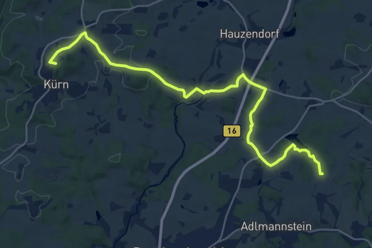
O 67 Kürn - Wolferszwinger Weiher (Rotes Rechteck)
15.8 km · ↑ 368 m · 4 h 31 min
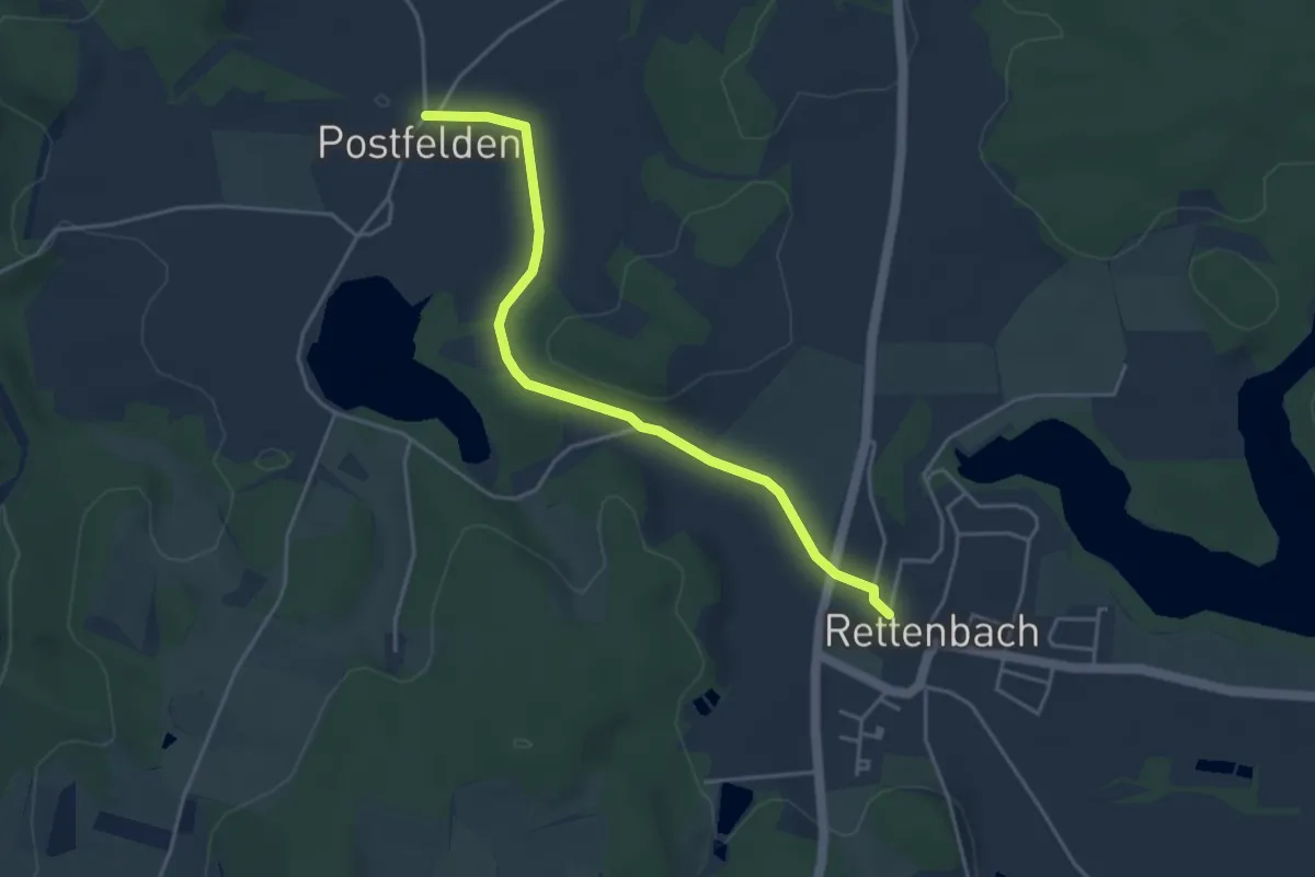
Easy · Trail
O69 (Rettenbach-Postfedern)
4.0 km · ↑ 44 m · 1 h 3 min
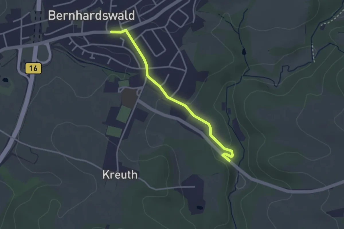
Easy · Trail
O 74 Bernhardswald - Ellbachtal (Blaues Rechteck)
2.6 km · ↑ 34 m · 41 min
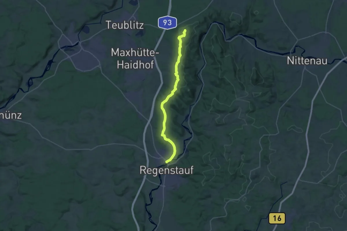
Demanding · Trail
O 77 Weißes Kreuz - Regenstauf (Rotes Dreieck)
23.7 km · ↑ 369 m · 6 h 24 min
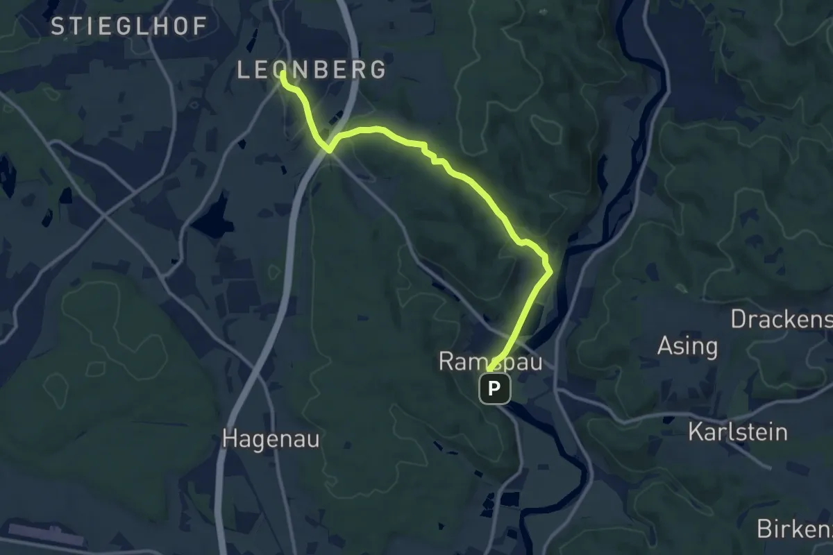
Medium · Trail
O 78 Leonberg - Ramspau (Rotes Rechteck)
10.5 km · ↑ 239 m · 2 h 59 min
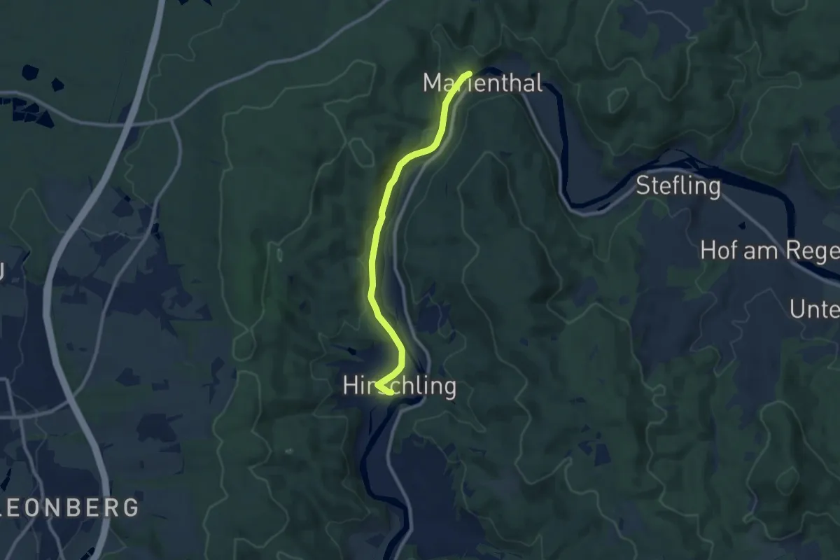
Easy · Trail
O 79 Hirschling - Marienthal (Grünes Rechteck)
7.8 km · ↑ 170 m · 2 h 13 min
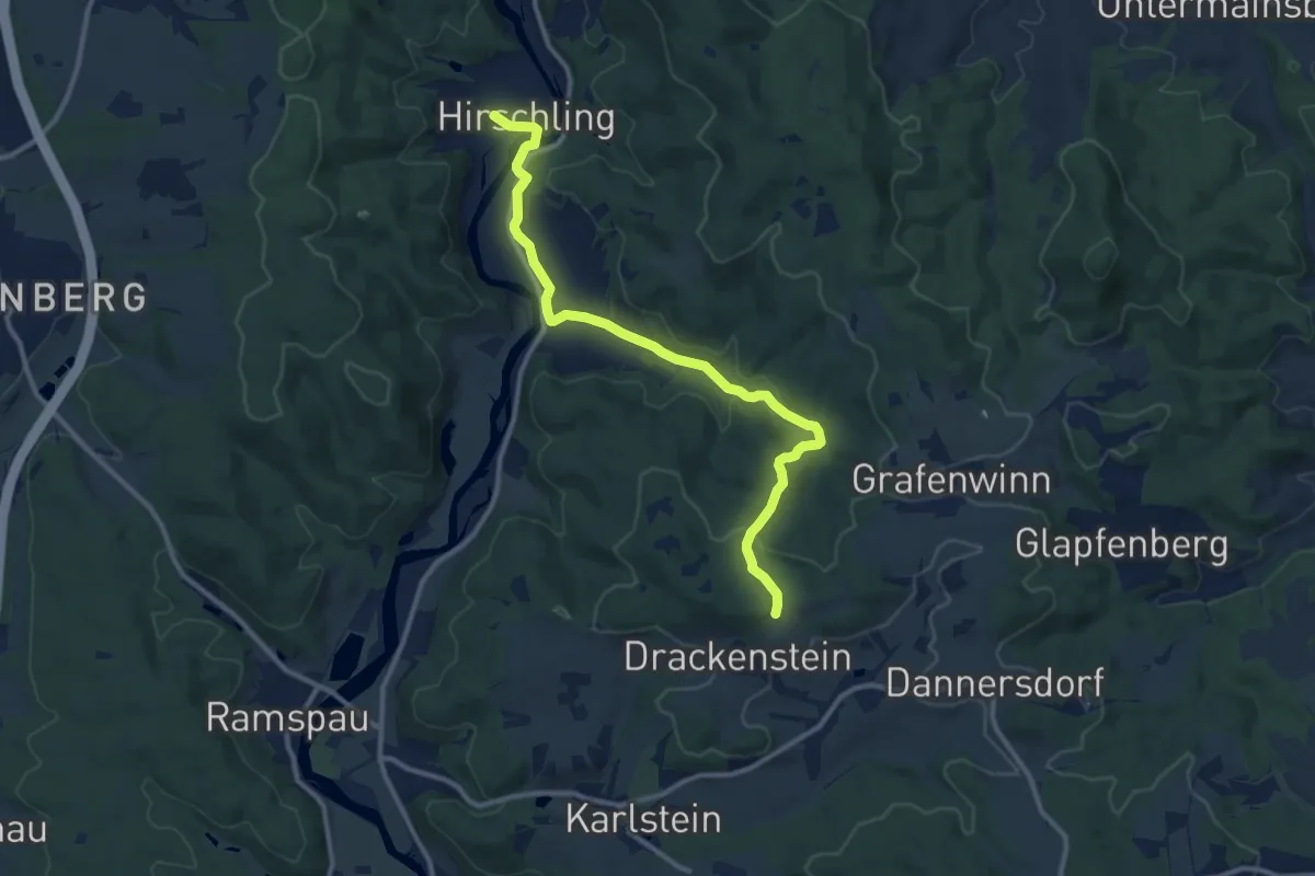
Medium · Trail
O 80 Hirschling - Theresienkapelle (Blaues Rechteck)
11.1 km · ↑ 247 m · 3 h 9 min
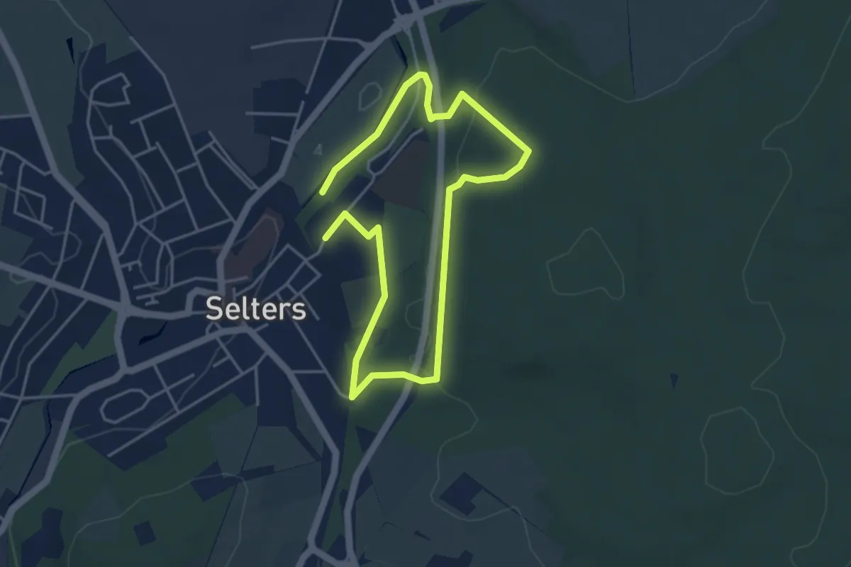
Easy · Trail
Oasenweg
3.0 km · ↑ 77 m · 55 min
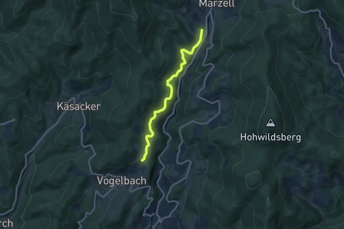
Easy · Trail
Ob Biefangen - Marzell Außerdorf
6.4 km · ↑ 302 m · 2 h 10 min
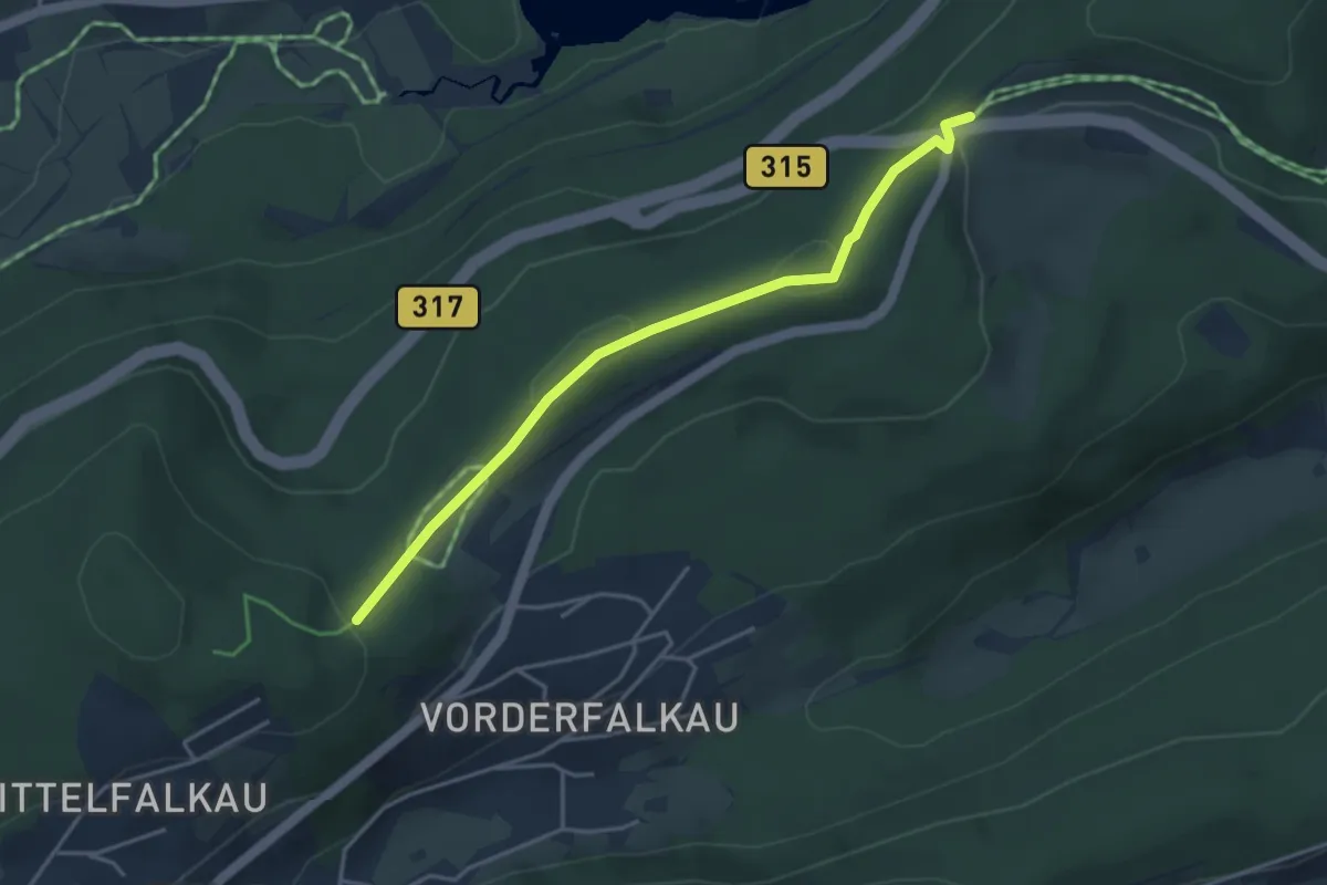
Easy · Trail
Ob dem Clemenshof - Rotkreuz
3.8 km · ↑ 84 m · 1 h 5 min
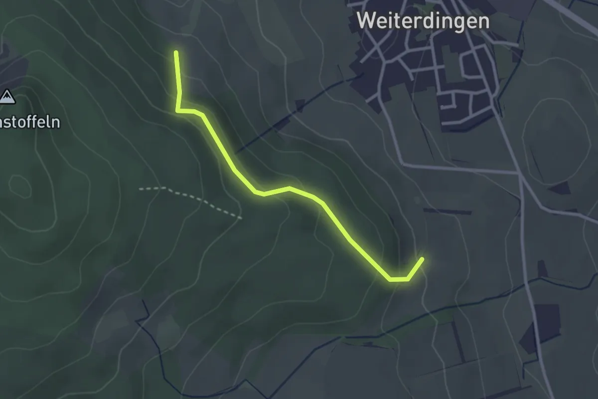
Easy · Trail
Ob dem Dorf - Roggensteig
2.5 km · ↑ 152 m · 56 min
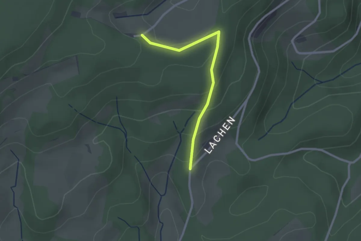
Easy · Trail
Ob dem Pflughof - Lachen
2.1 km · ↑ 101 m · 43 min
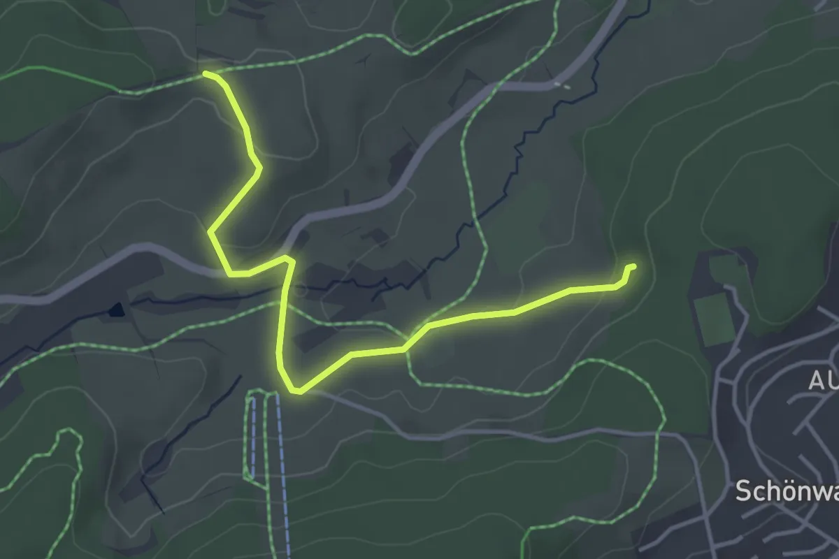
Easy · Trail
Ob dem Rössle - Rüttwald
3.8 km · ↑ 72 m · 1 h 3 min
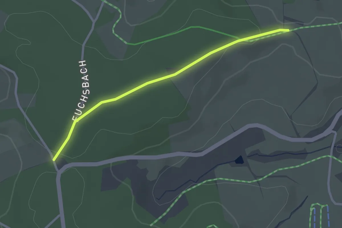
Easy · Trail
Ob dem Rössle - Weißenbacher Höhe
2.4 km · ↑ 45 m · 39 min
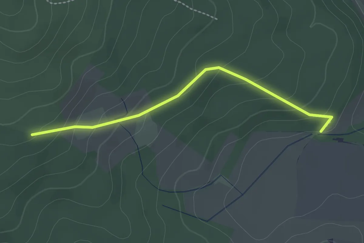
Easy · Trail
Ob dem Sennhof - Tiefental
2.3 km · ↑ 112 m · 47 min
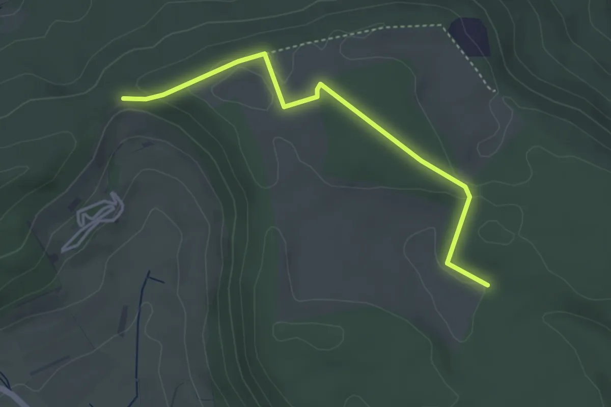
Easy · Trail
Ob dem Tiefental - Beerenzipfel
3.7 km · ↑ 73 m · 1 h 2 min
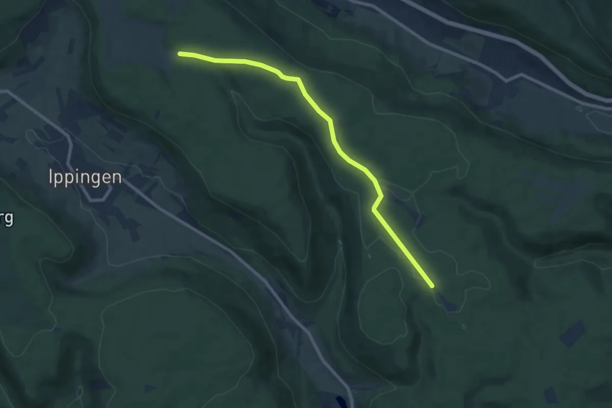
Easy · Trail
Ob dem Tiefental - Lindentälehütte
7.1 km · ↑ 76 m · 1 h 50 min
Easy · Trail
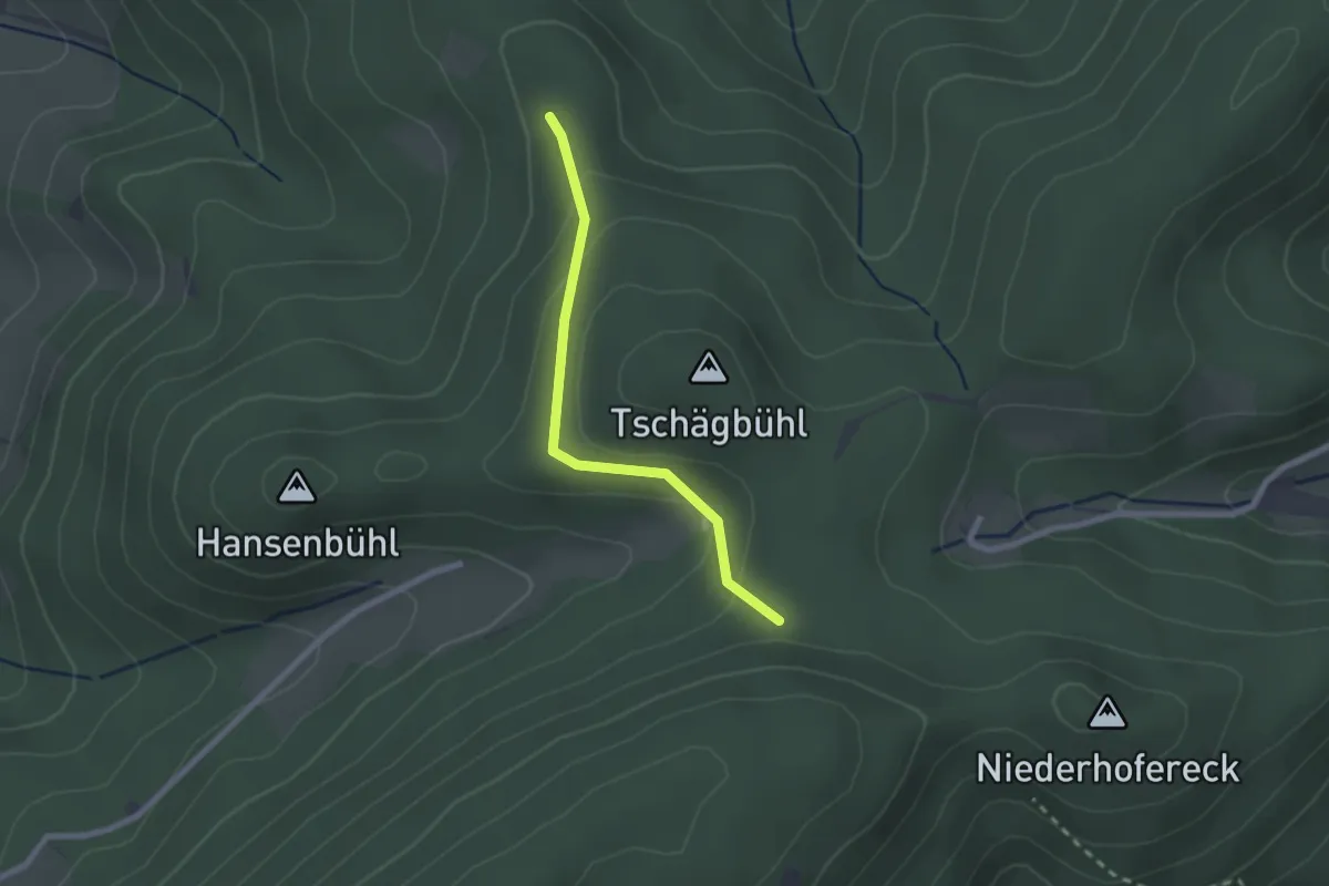
Ob dem Tschäghof - Wirtswald
2.0 km · ↑ 87 m · 40 min
Easy · Trail
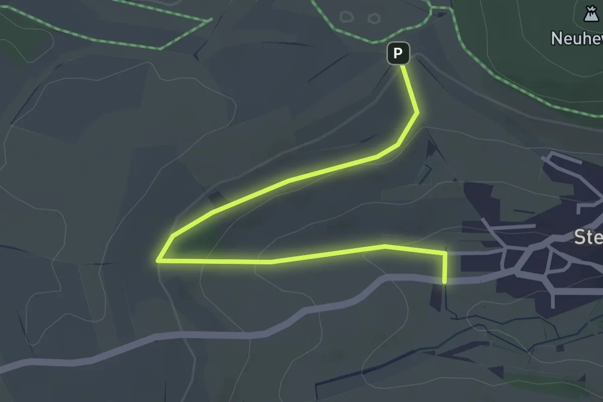
Ob den Grabenäcker - Am Merlebohl
3.5 km · ↑ 101 m · 1 h 3 min
Easy · Trail
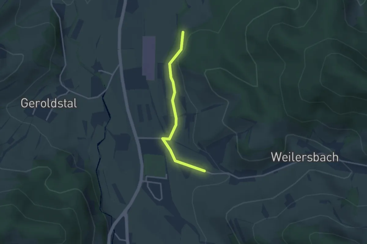
Ob den Rainmatten - Weilersbach
2.5 km · ↑ 56 m · 43 min
Easy · Trail
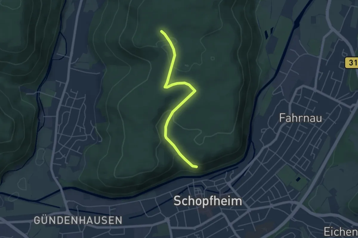
Ob der Altstadt - Oberer Eichbühlweg
4.4 km · ↑ 125 m · 1 h 19 min