Trails in Germany
36,852 hiking trails, each with its route, climb, walking time and grade.
All trails, page 392 of 768
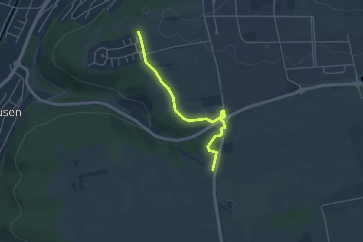
Easy · Trail
Oberer Steinberg - In der Mulde
3.3 km · ↑ 22 m · 50 min
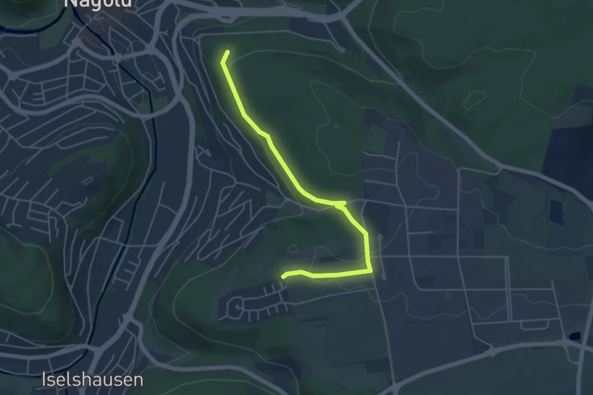
Easy · Trail
Oberer Steinberg - Nagold Textilschule
4.4 km · ↑ 73 m · 1 h 12 min
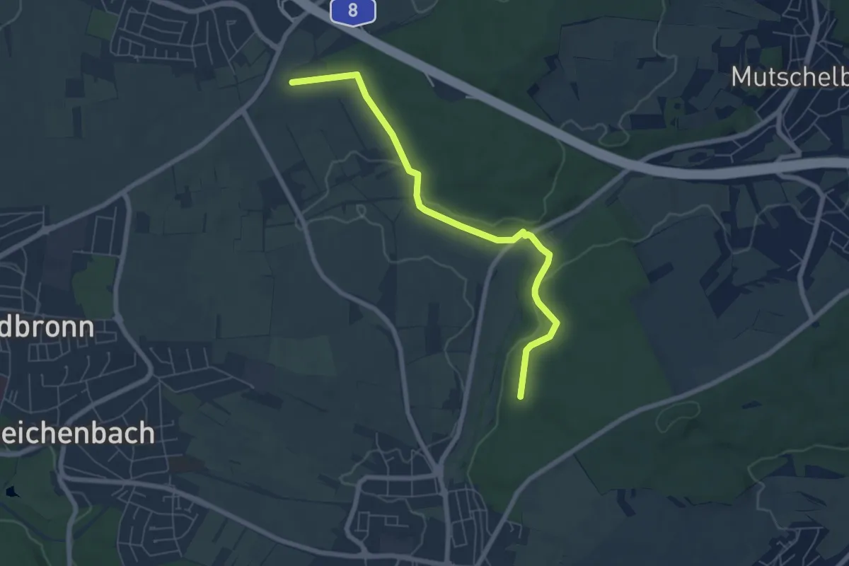
Easy · Trail
Oberer Steinig - Rappenbusch
6.2 km · ↑ 107 m · 1 h 41 min
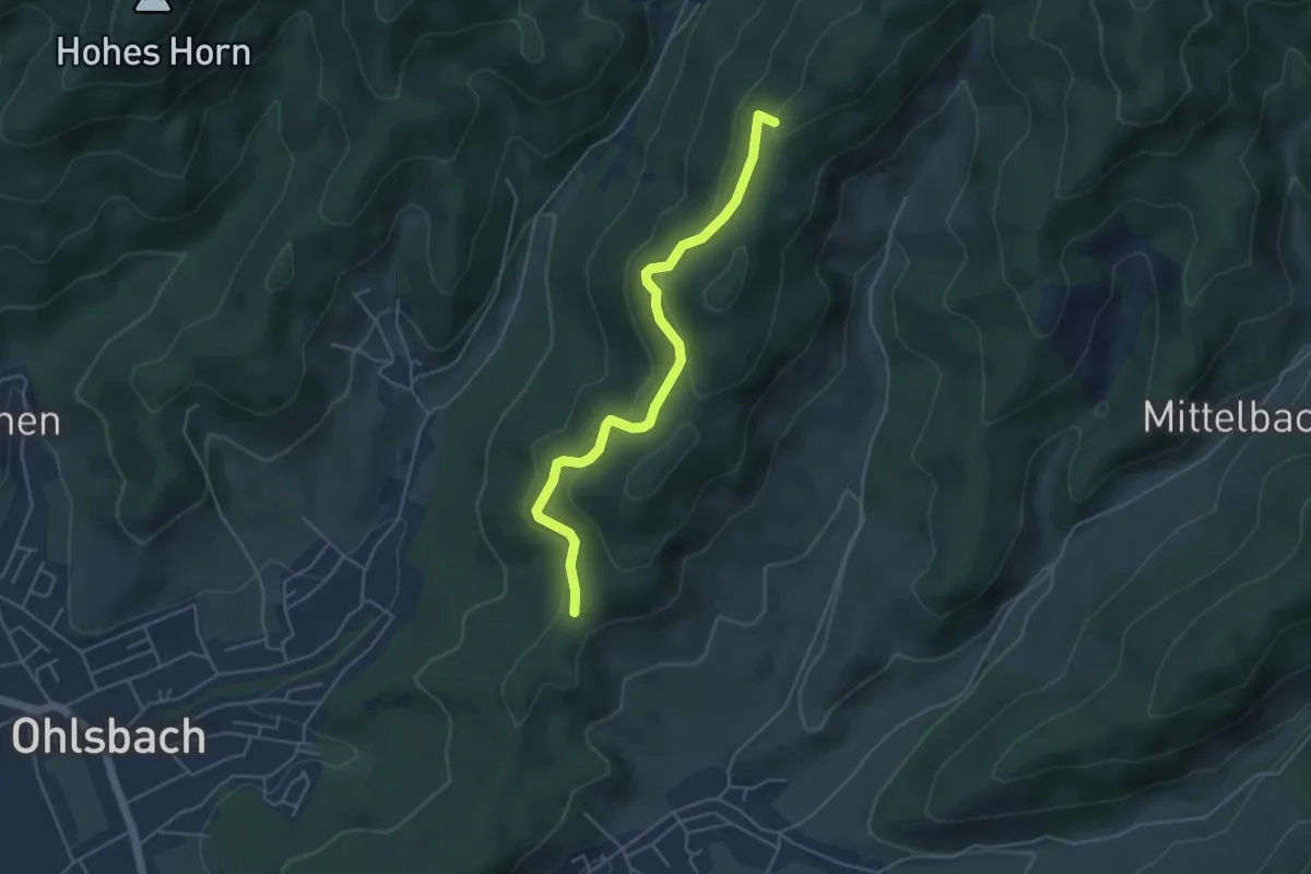
Easy · Summit
Oberer Steinweg - Am Hohen Stein
4.4 km · ↑ 236 m · 1 h 33 min
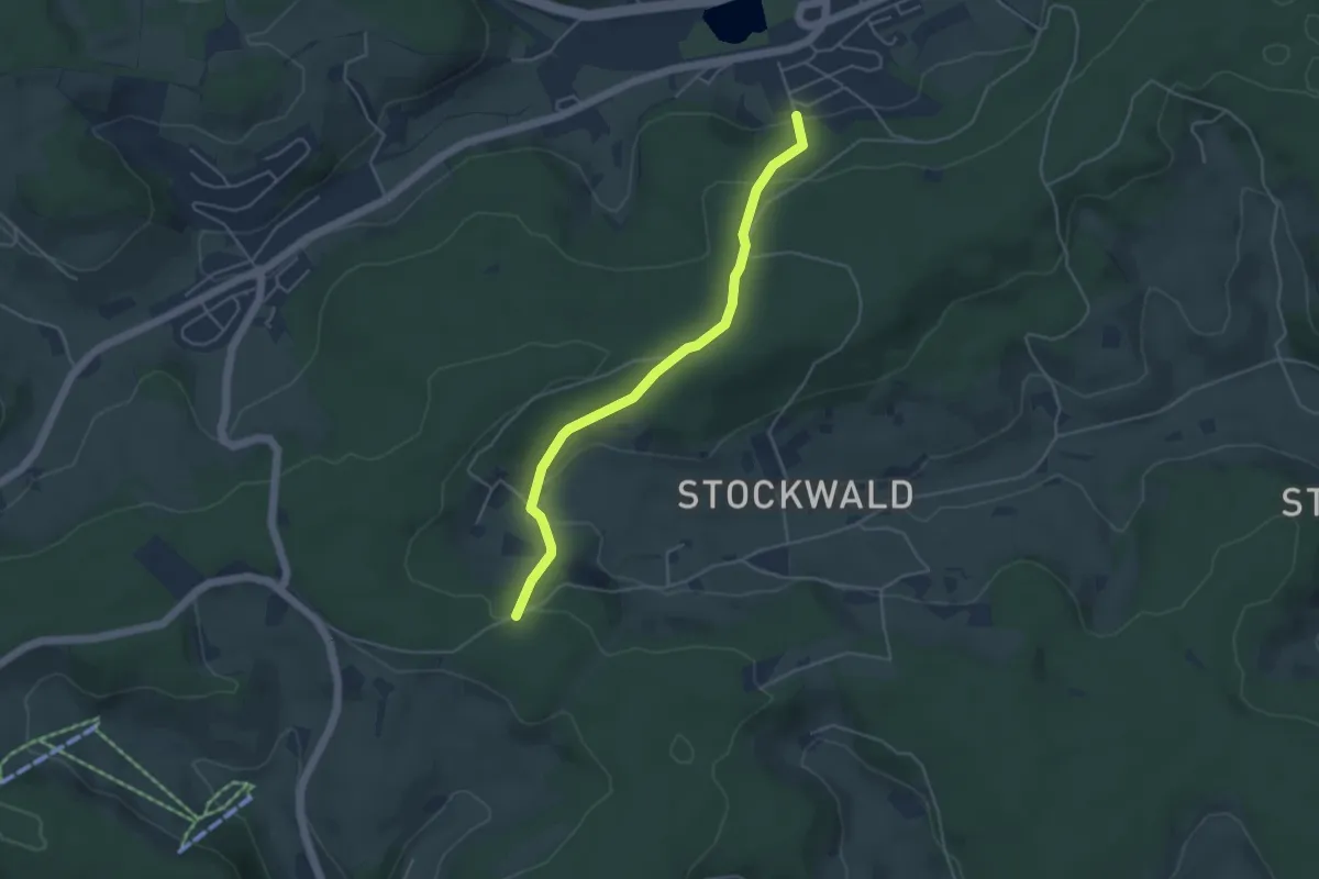
Easy · Trail
Oberer Stockwald - Rosenweg
4.2 km · ↑ 190 m · 1 h 24 min
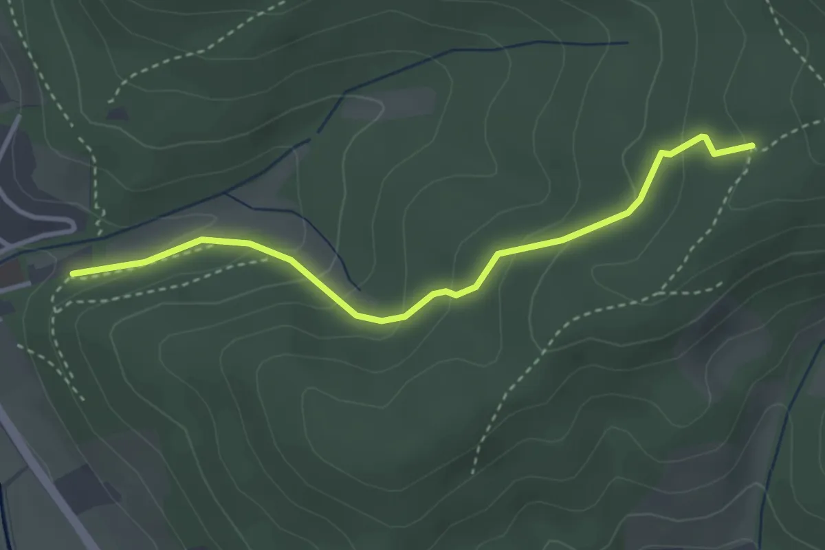
Easy · Trail
Oberer Tretenbach - Tretenhof
3.2 km · ↑ 188 m · 1 h 10 min
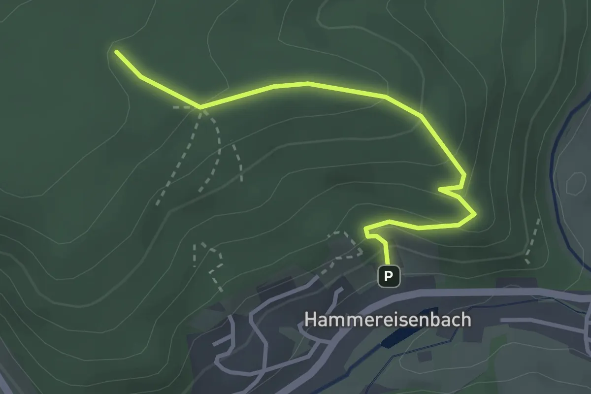
Medium · Trail
Obere Rütte - Dobelhof
3.0 km · ↑ 168 m · 1 h 4 min
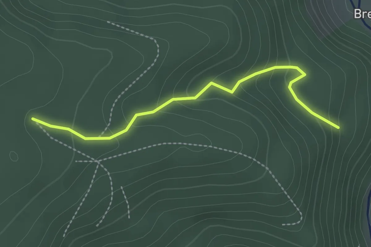
Easy · Trail
Obere Rütte - Sandbruch
2.3 km · ↑ 150 m · 52 min
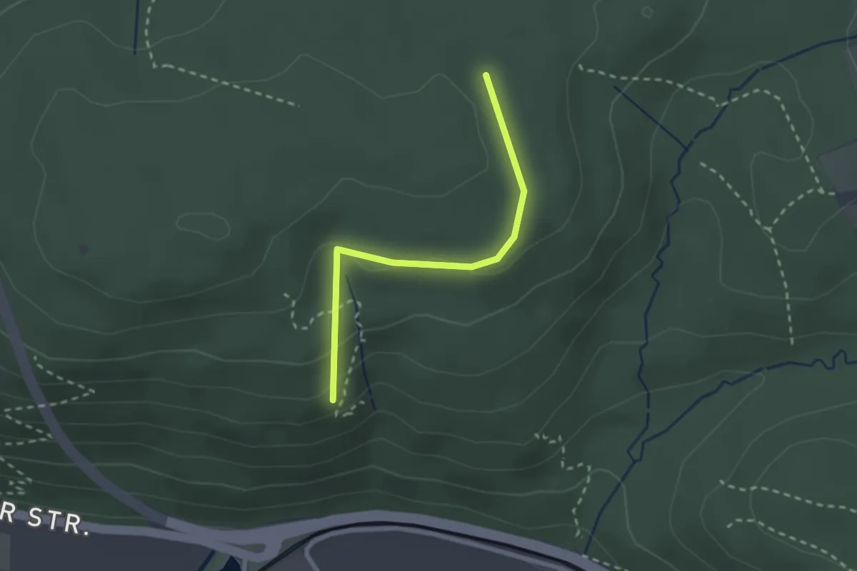
Easy · Trail
Oberer Vogelsruhweg - Kälberskopf
2.1 km · ↑ 57 m · 37 min
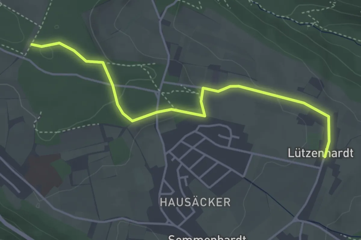
Easy · Trail
Oberer Waldacker - Lützenhardt
3.9 km · ↑ 73 m · 1 h 5 min
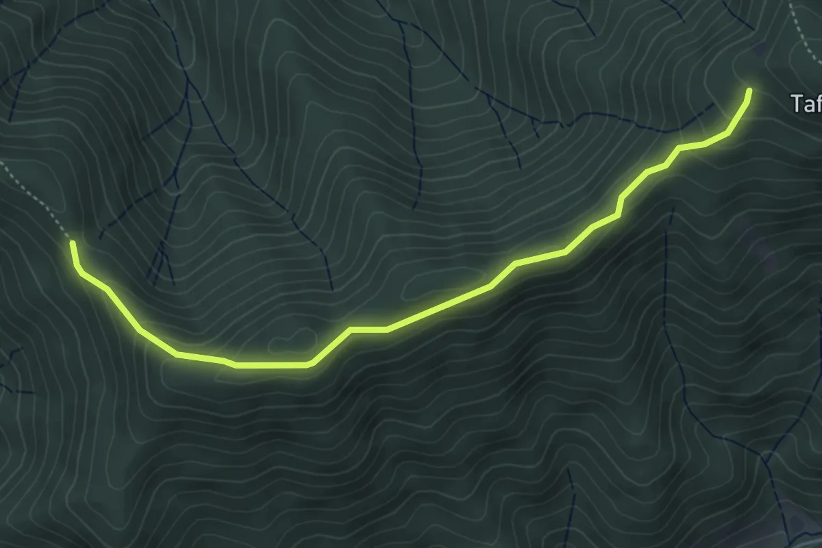
Easy · Trail
Oberer Weg - Am Tafelbühl
5.0 km · ↑ 227 m · 1 h 40 min
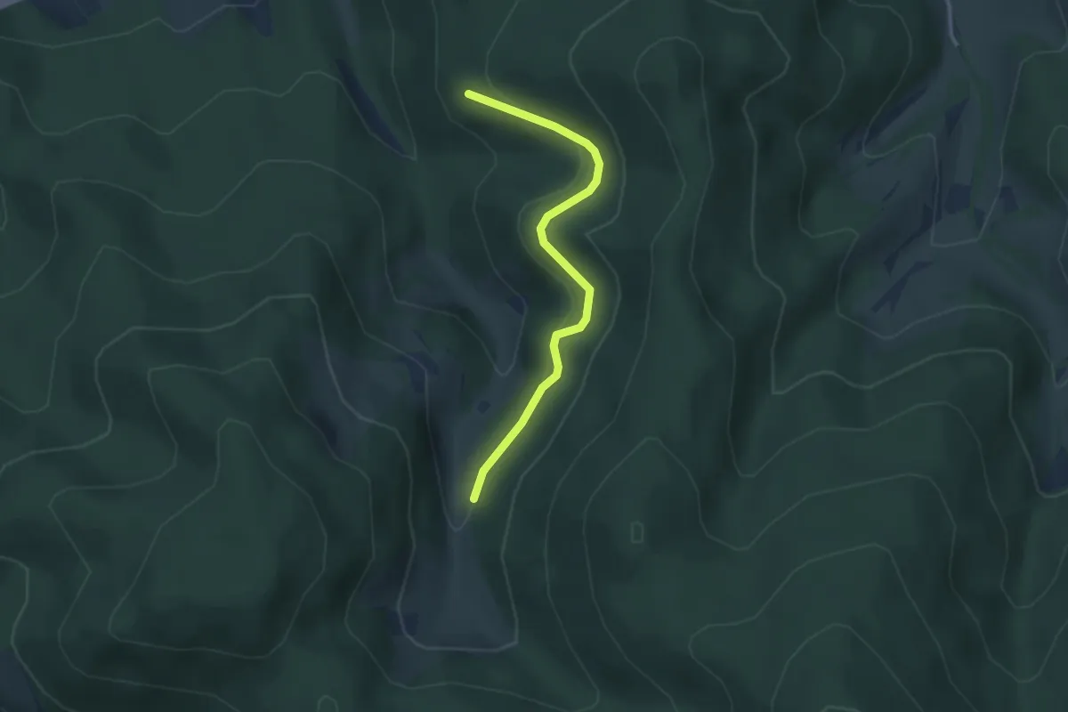
Easy · Trail
Oberer Wegelbachweg - Am Fohrenbühl
3.0 km · ↑ 127 m · 58 min
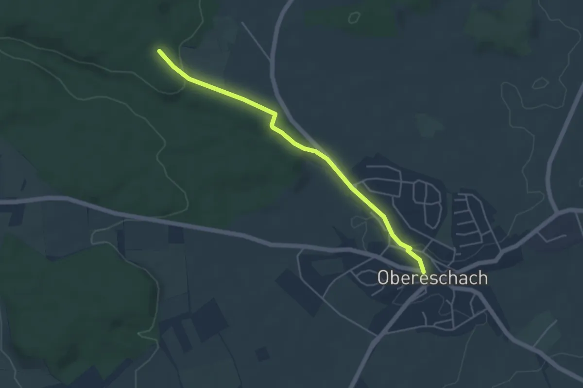
Easy · Trail
Obereschach Rathaus - Gehrenwald
4.0 km · ↑ 64 m · 1 h 5 min
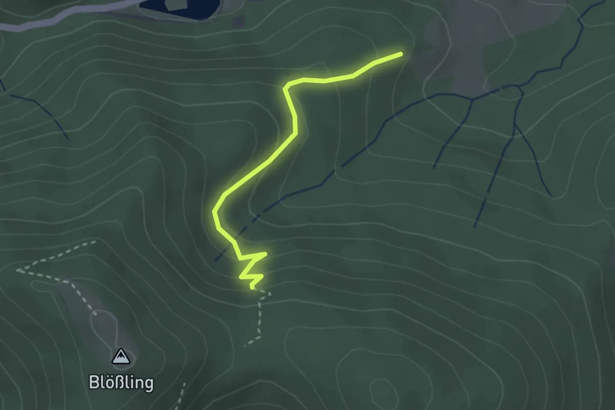
Easy · Trail
Oberes Himmelreich - Rütte
2.4 km · ↑ 164 m · 55 min
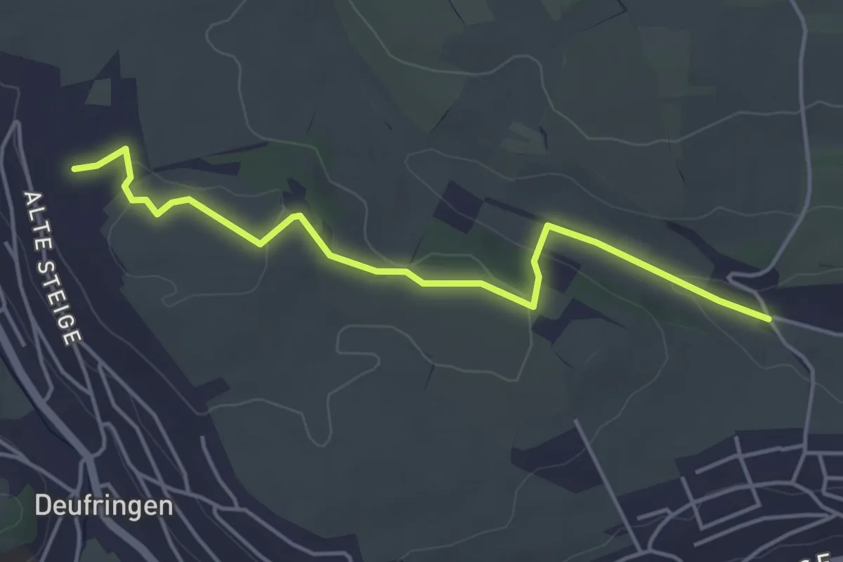
Easy · Trail
Oberes Kirchtal - Grubbank
4.3 km · ↑ 78 m · 1 h 11 min
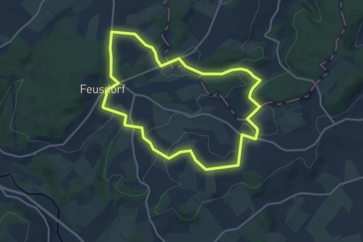
Easy · Summit
Oberes Kylltal (4)
7.8 km · ↑ 123 m · 2 h 13 min
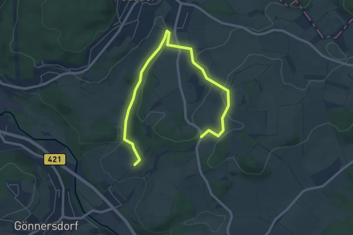
Easy · Trail
Oberes Kylltal (5)
6.5 km · ↑ 82 m · 1 h 43 min
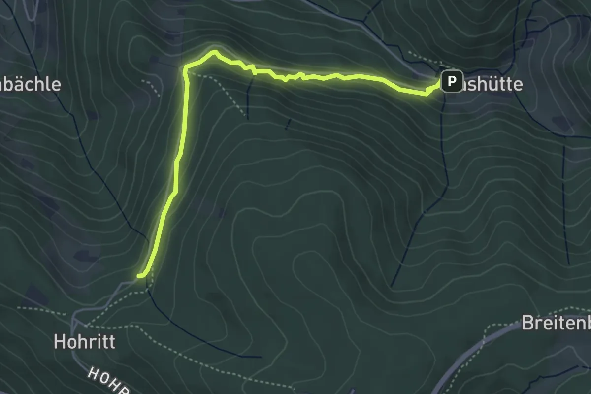
Medium · Trail
Oberes Lautenbächle - Spitzbuckelbrunnen
4.4 km · ↑ 249 m · 1 h 34 min
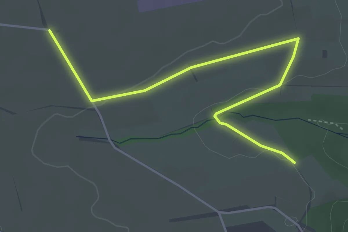
Easy · Trail
Oberes Lützental - Bulacher Weg
4.3 km · ↑ 39 m · 1 h 6 min
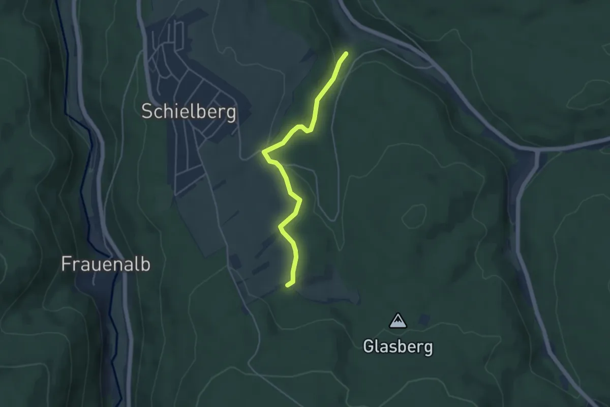
Easy · Trail
Oberes Maisenbachtal - Schlotterhof
3.8 km · ↑ 115 m · 1 h 9 min
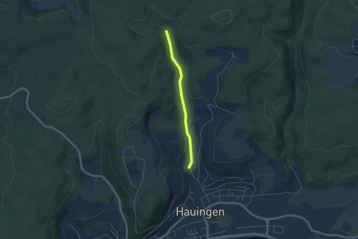
Easy · Trail
Obere Soormatt - Jungholzweg
3.5 km · ↑ 98 m · 1 h 2 min
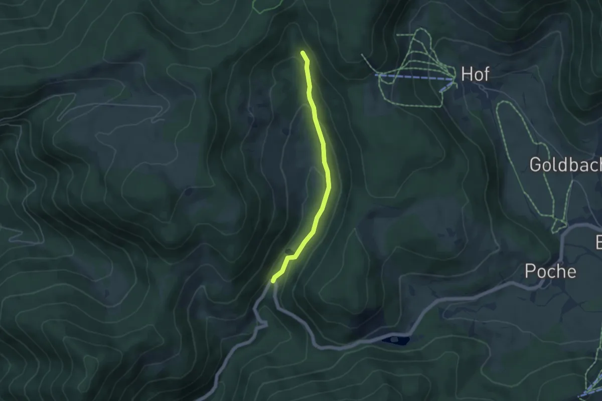
Easy · Trail
Oberes Prägbachtal - Wachtbrücke
4.0 km · ↑ 157 m · 1 h 16 min
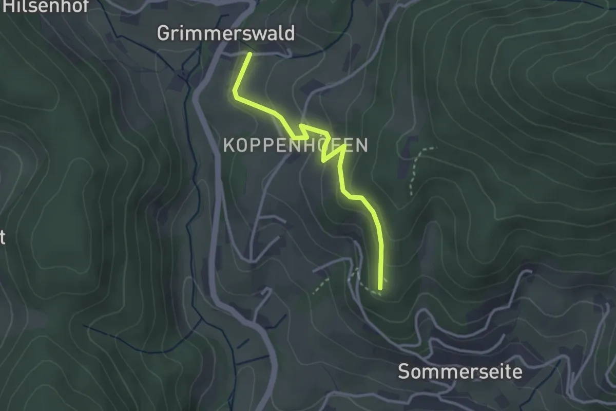
Easy · Trail
Oberes Silbergründle - Mittlerer Busterbach
2.6 km · ↑ 151 m · 57 min
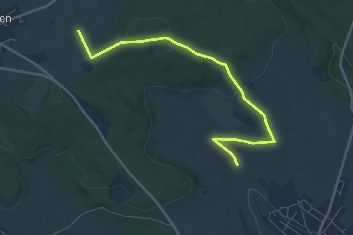
Easy · Trail
Oberes Tal - Seite
6.3 km · ↑ 132 m · 1 h 46 min
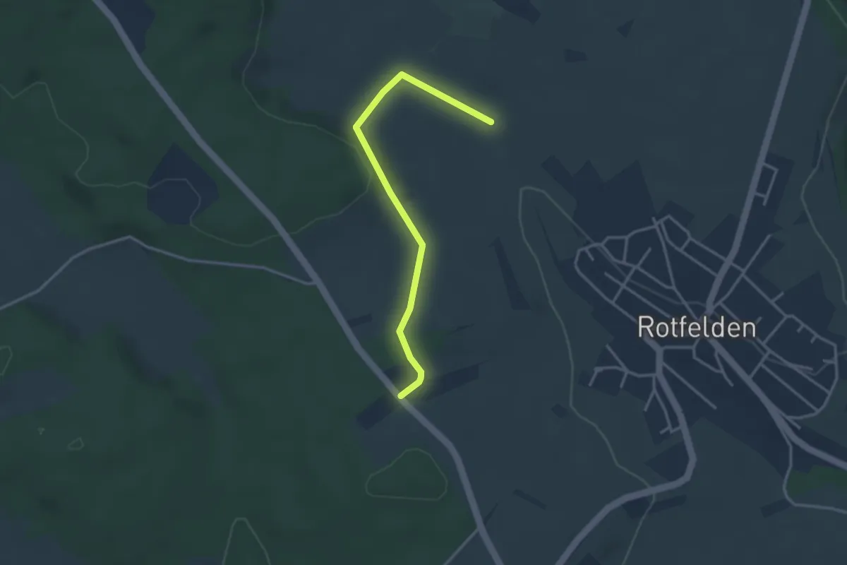
Easy · Trail
Oberes Tal - Sportplatz Rotfelden
3.1 km · ↑ 48 m · 50 min
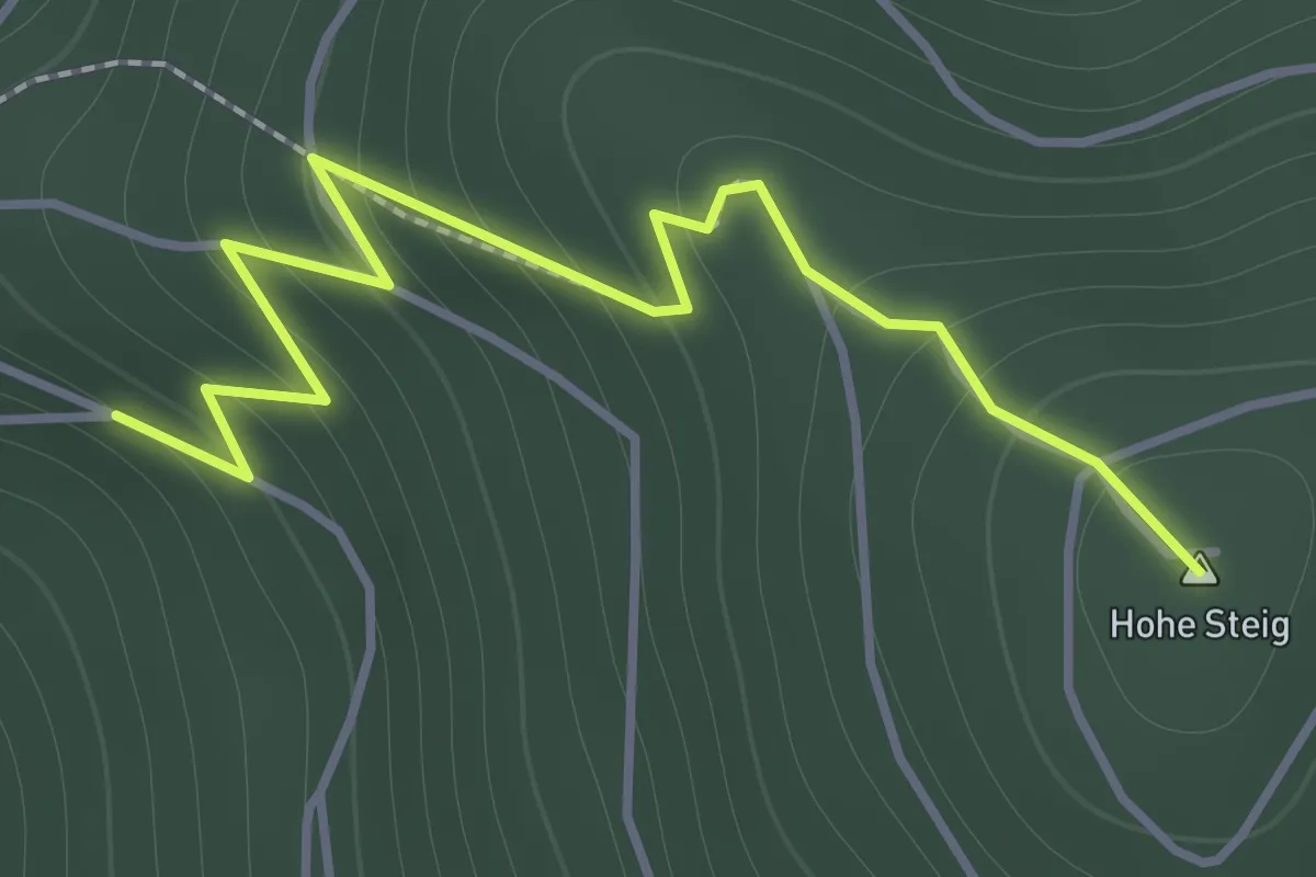
Easy · Summit
Obere Steigelme - Hohe Steig
1.6 km · ↑ 173 m · 45 min
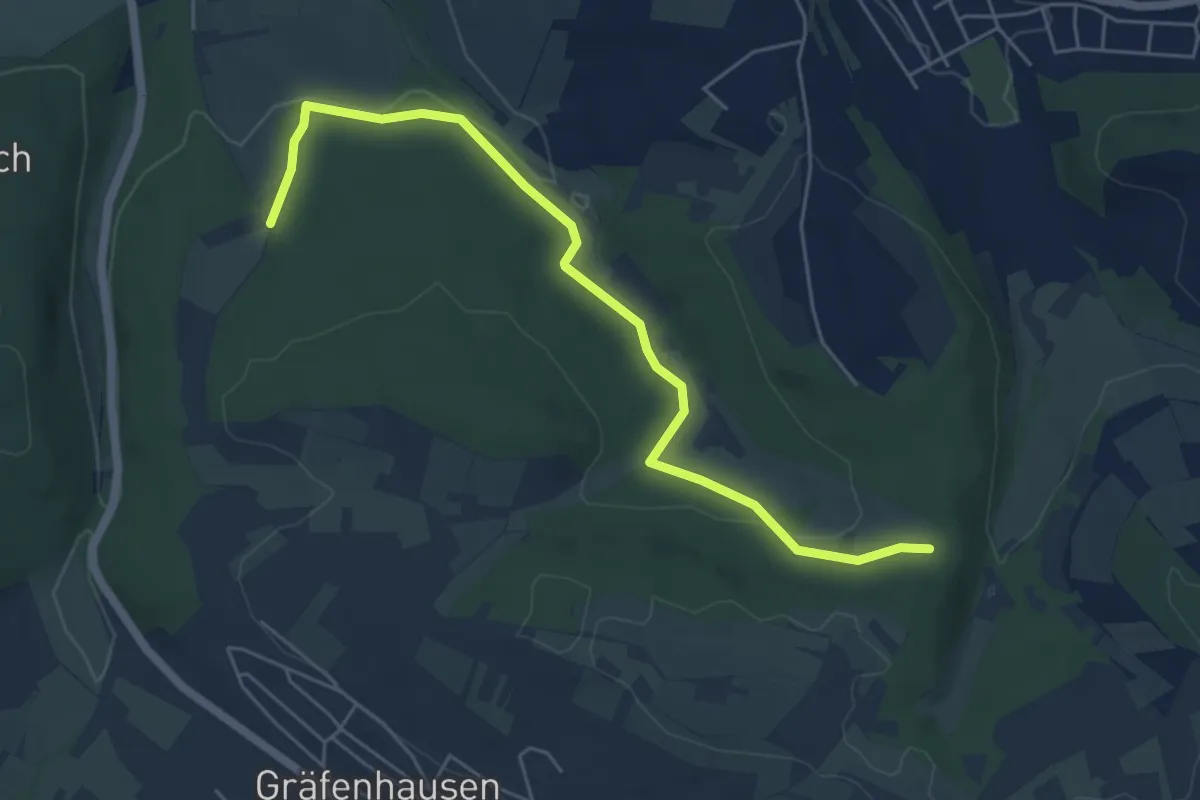
Easy · Trail
Oberes Weitfeld - Rix
5.6 km · ↑ 115 m · 1 h 35 min
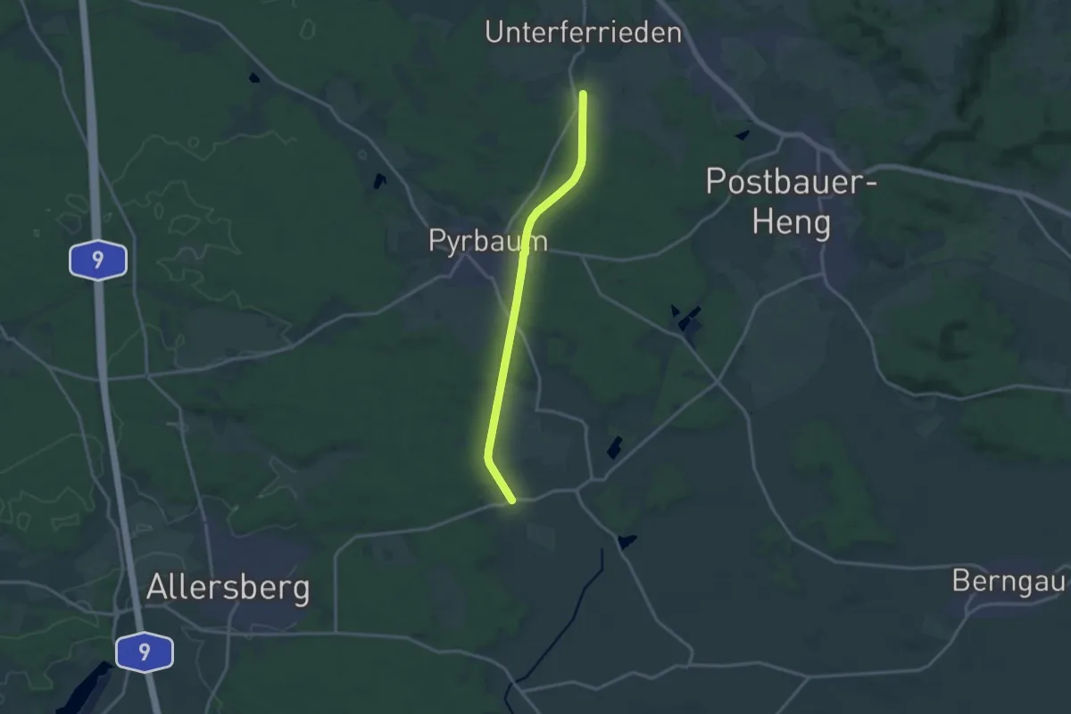
Medium · Trail
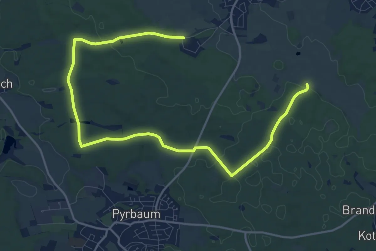
Oberferriedener Bocklweg
13.2 km · ↑ 145 m · 3 h 26 min
Easy · Trail
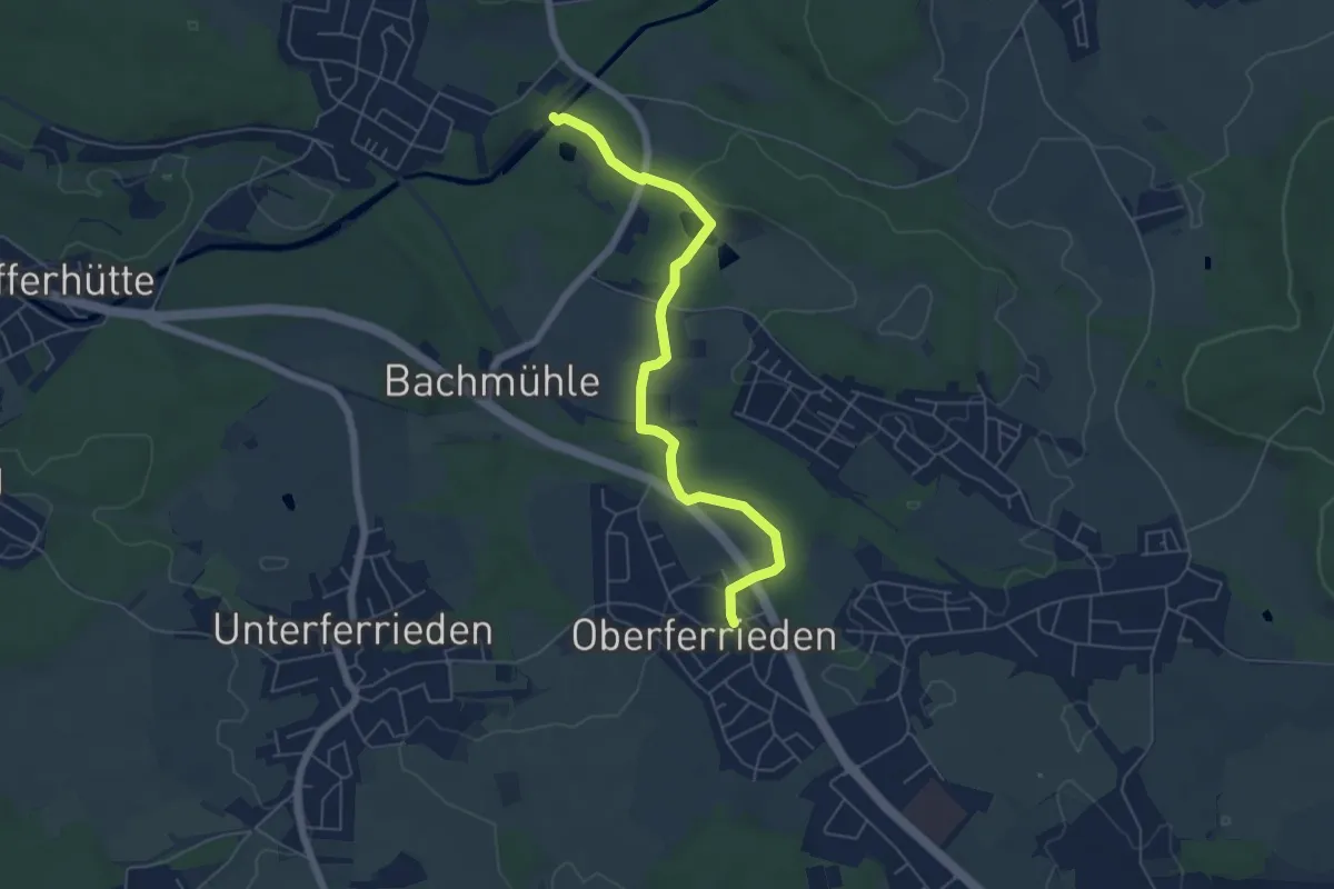
Oberferrrieden
6.7 km · ↑ 75 m · 1 h 50 min
Easy · Trail
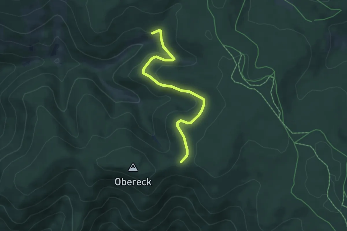
Oberferrrieden 7
5.6 km · ↑ 69 m · 1 h 28 min
Easy · Trail
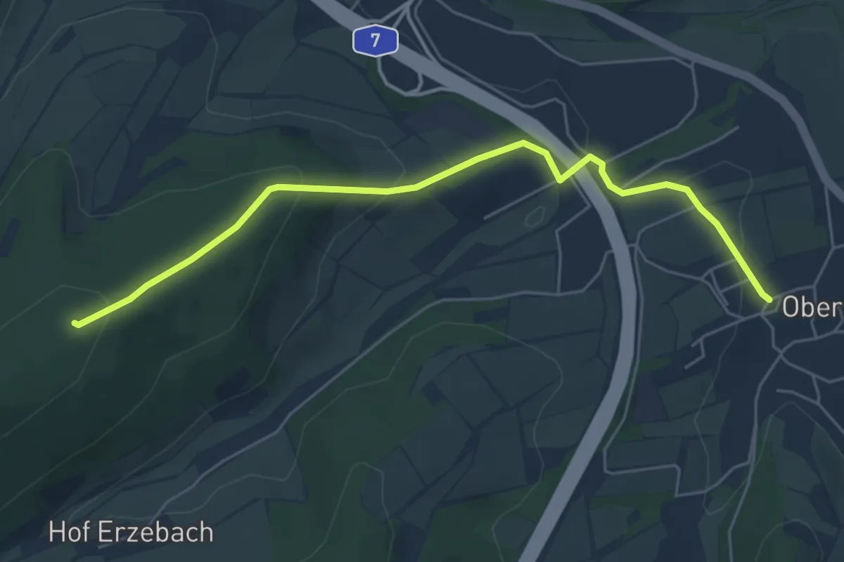
Obergefäll - Griesbacher Eck
4.6 km · ↑ 163 m · 1 h 27 min
Easy · Summit
Obergeiser Rundweg 4
5.1 km · ↑ 174 m · 1 h 35 min
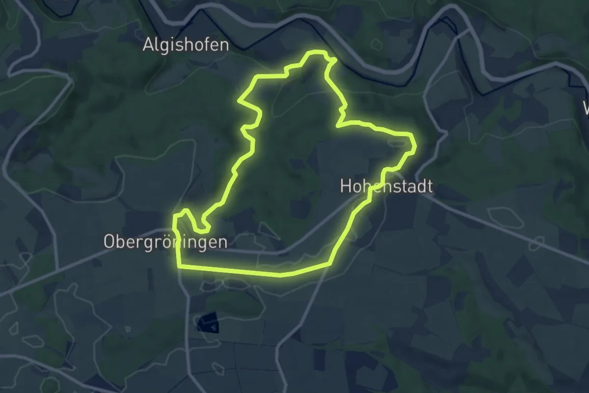
Medium · Trail
Obergröninger Rundwanderweg
8.1 km · ↑ 157 m · 2 h 22 min
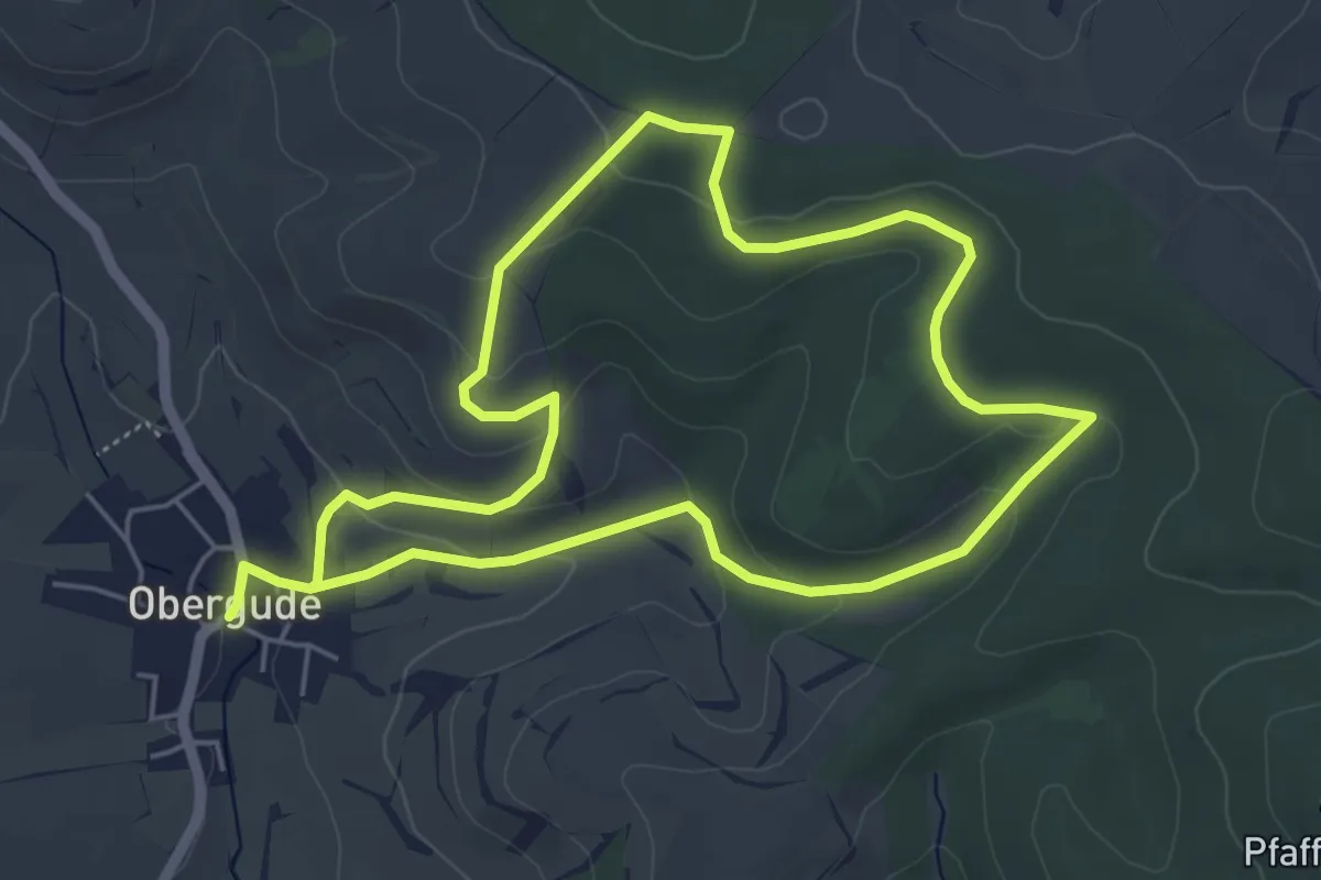
Easy · Trail
Obergude Rundweg O1
4.9 km · ↑ 126 m · 1 h 29 min
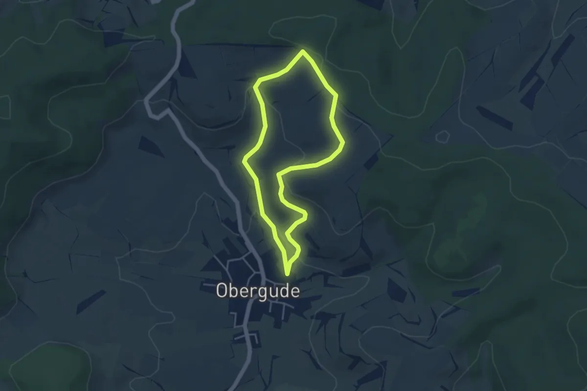
Easy · Trail
Obergude Rundweg O2
3.2 km · ↑ 111 m · 1 h 3 min
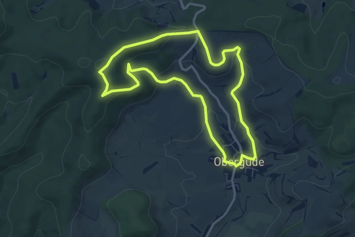
Easy · Trail
Obergude Rundweg O3
6.3 km · ↑ 175 m · 1 h 57 min
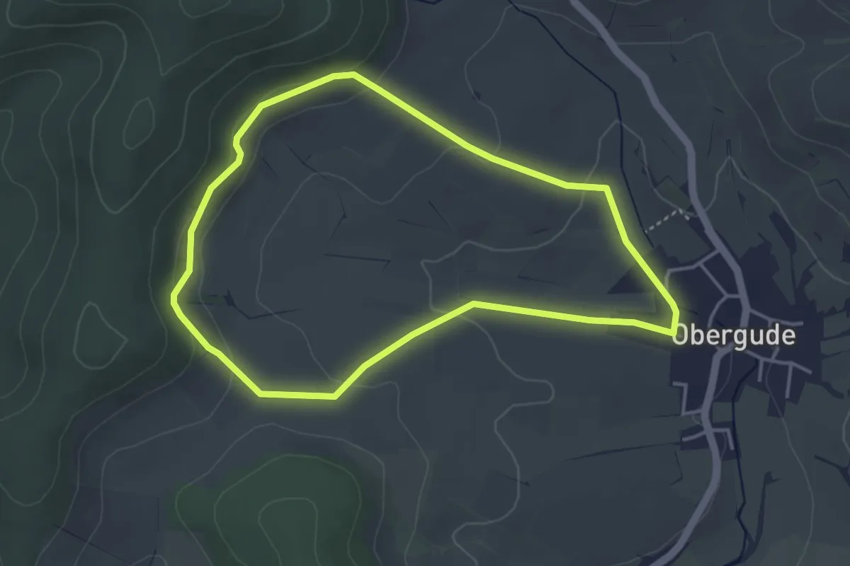
Easy · Trail
Obergude Rundweg O4
3.4 km · ↑ 100 m · 1 h 5 min
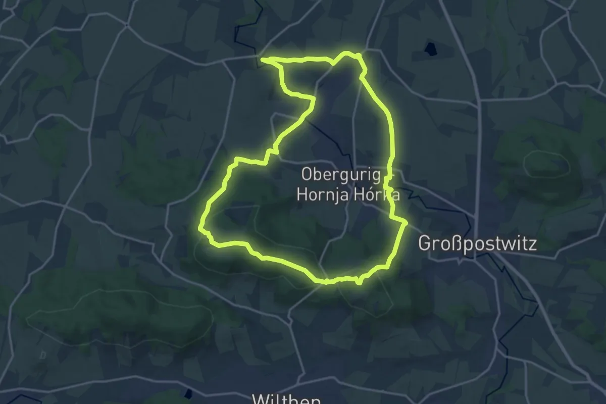
Demanding · Summit
Oberguriger Rundwanderweg
14.5 km · ↑ 336 m · 4 h 21 min
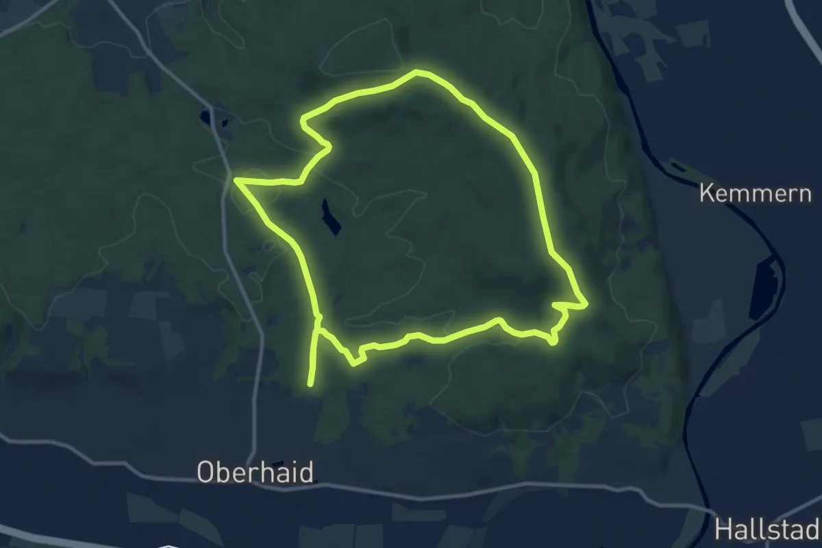
Medium · Trail
Oberhaid Blockhütte
10.0 km · ↑ 142 m · 2 h 49 min
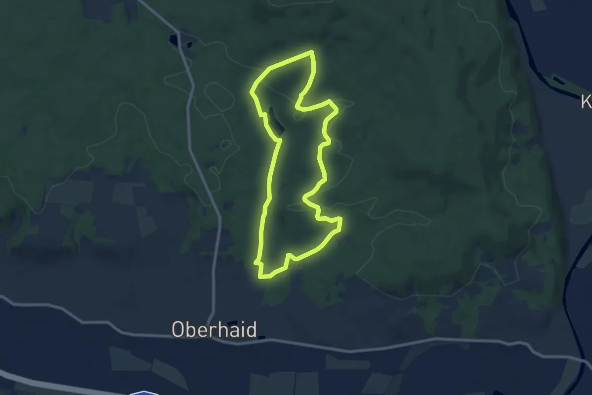
Easy · Trail
Oberhaid Vogelherdrunde
6.6 km · ↑ 94 m · 1 h 51 min
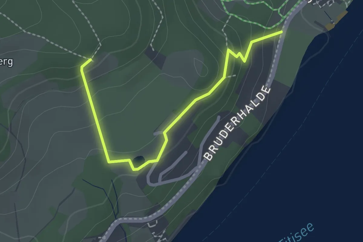
Medium · Trail
Oberhalb Campingplatz Bühlhof - Tannfried
2.3 km · ↑ 109 m · 46 min
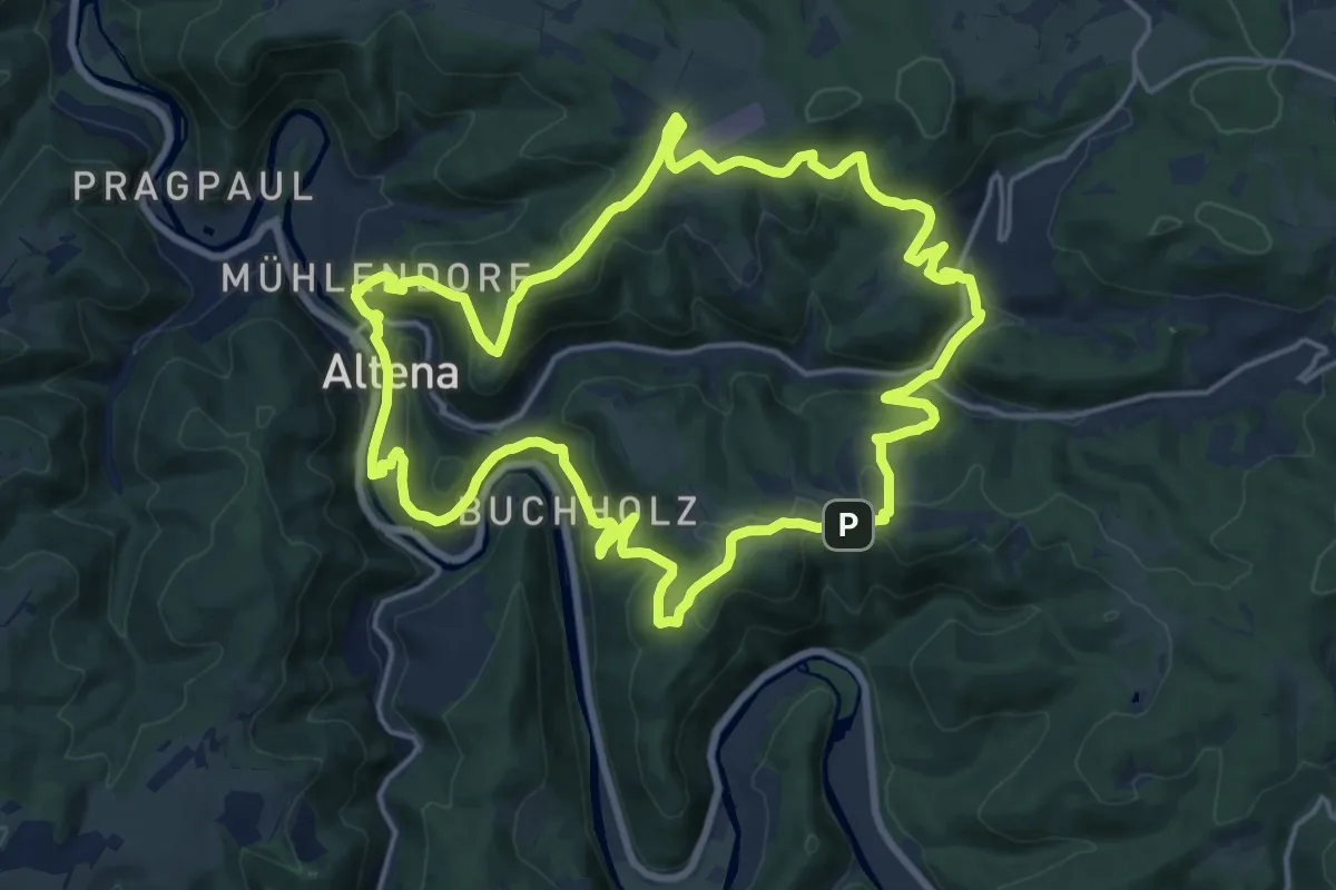
Medium · Trail
[-] Oberhalb der Nette
16.4 km · ↑ 580 m · 5 h 21 min
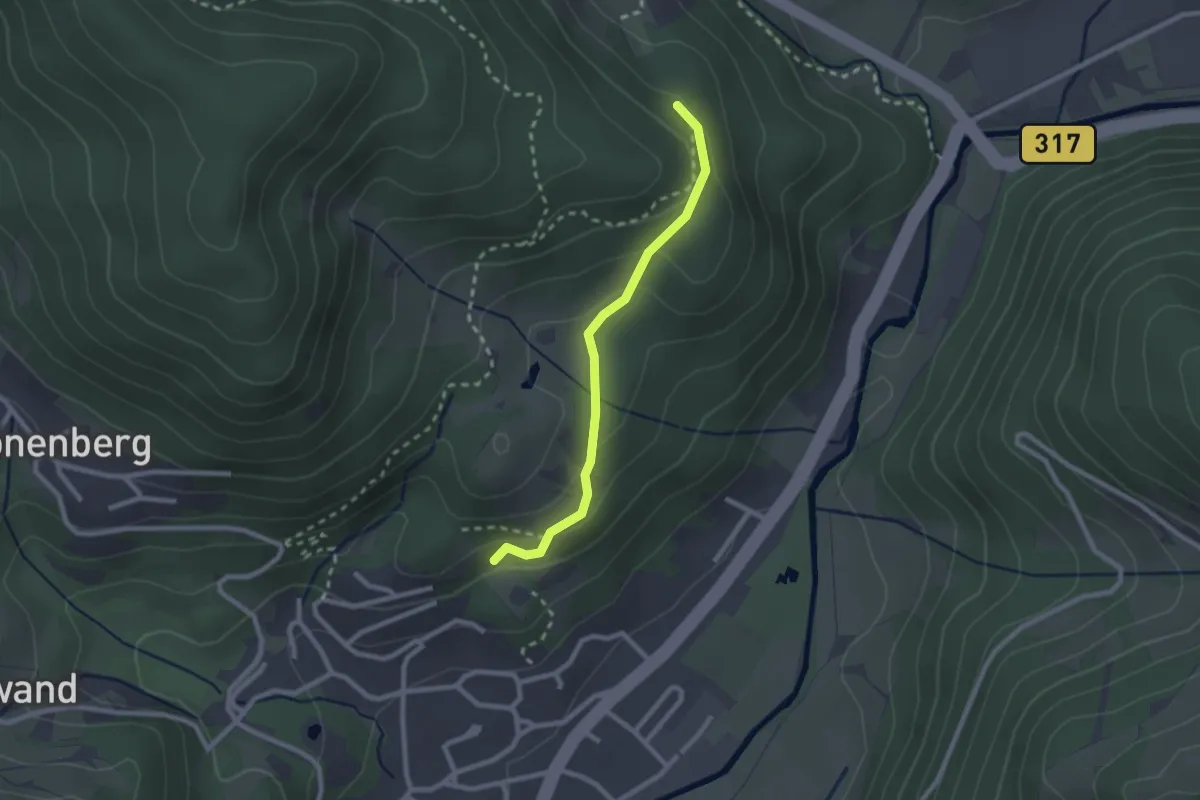
Easy · Trail
Oberhalb ehem. Schlageter Denkmal - Farnbühl
2.1 km · ↑ 105 m · 44 min
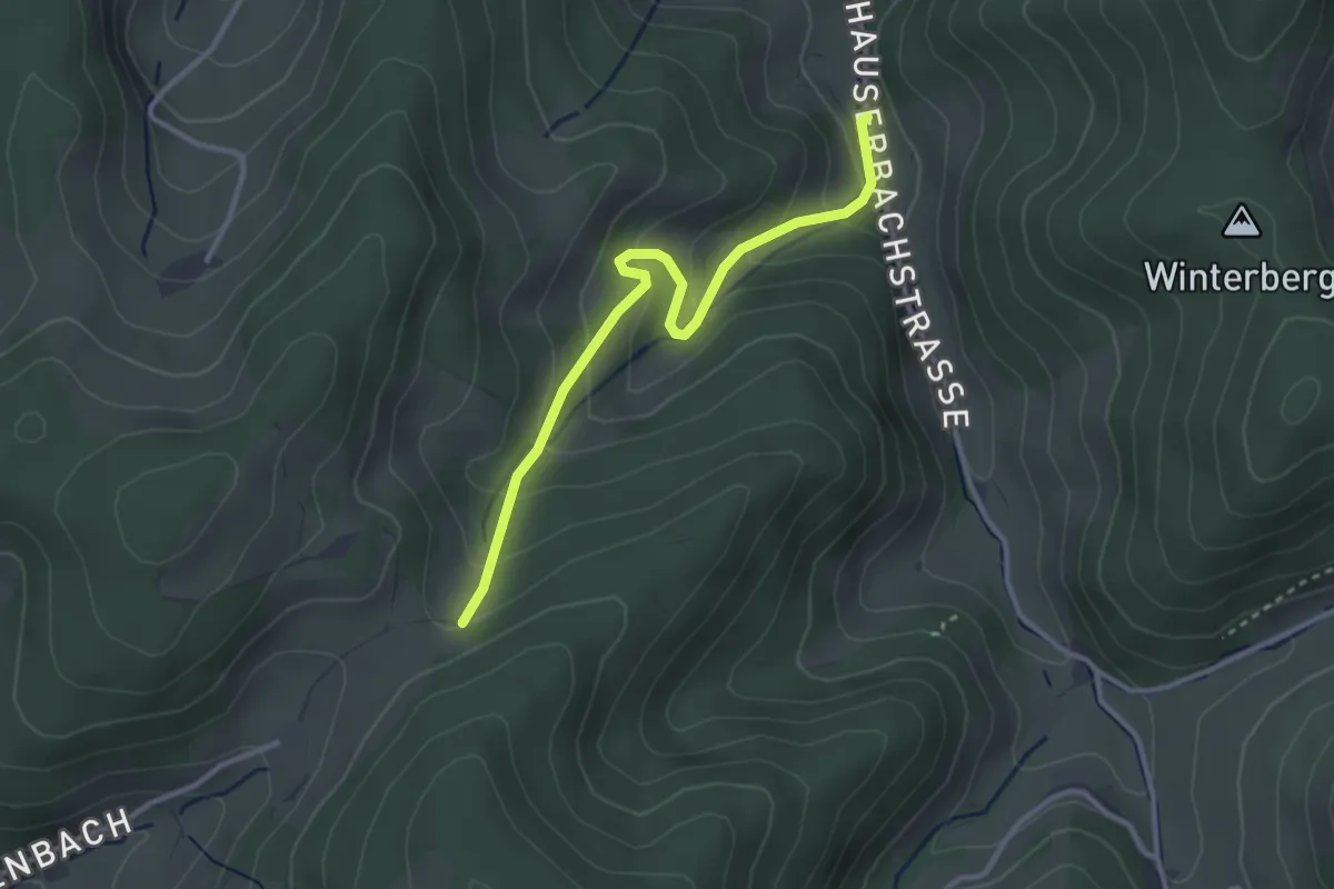
Easy · Trail
Oberhalb Limbacherhof - Hauserbach Limbacher Hof
3.0 km · ↑ 227 m · 1 h 12 min
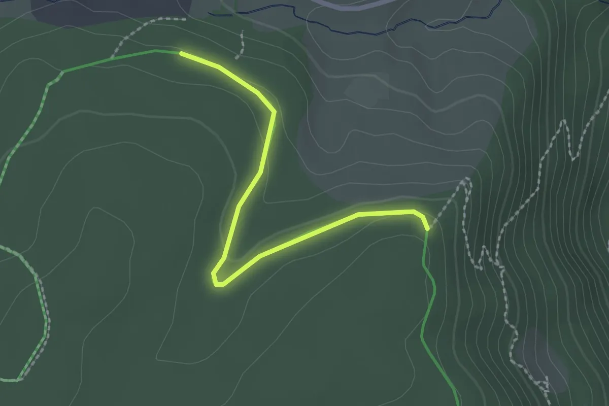
Easy · Trail
Oberhalb Plattensee - Stockbühl
2.0 km · ↑ 40 m · 34 min
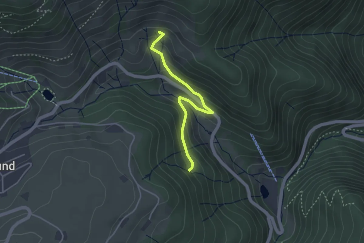
Easy · Trail
Oberhalb Steinwasen - Winterhalde
2.9 km · ↑ 185 m · 1 h 6 min
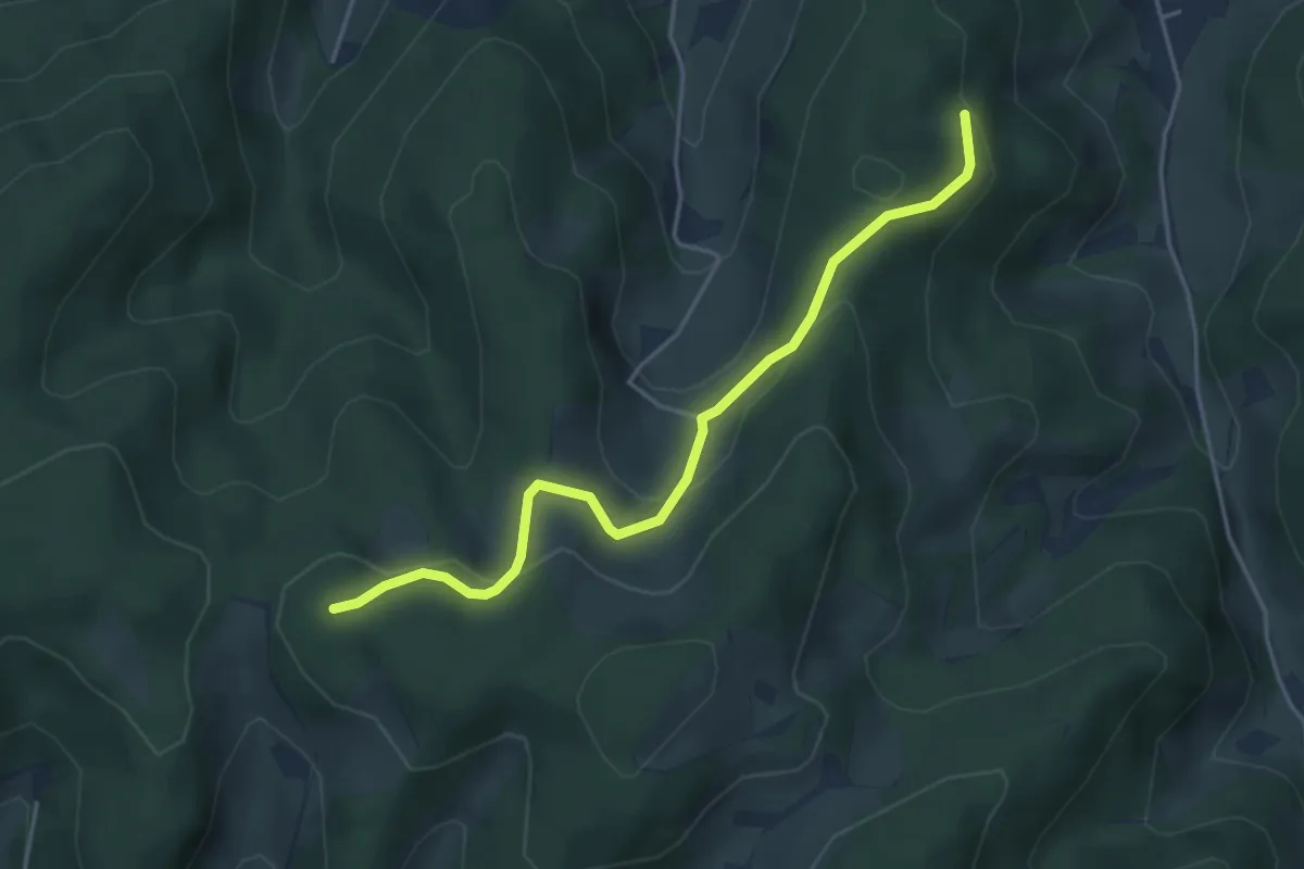
Easy · Trail
Oberhalb Winterleshof - Über Ried
4.2 km · ↑ 176 m · 1 h 22 min
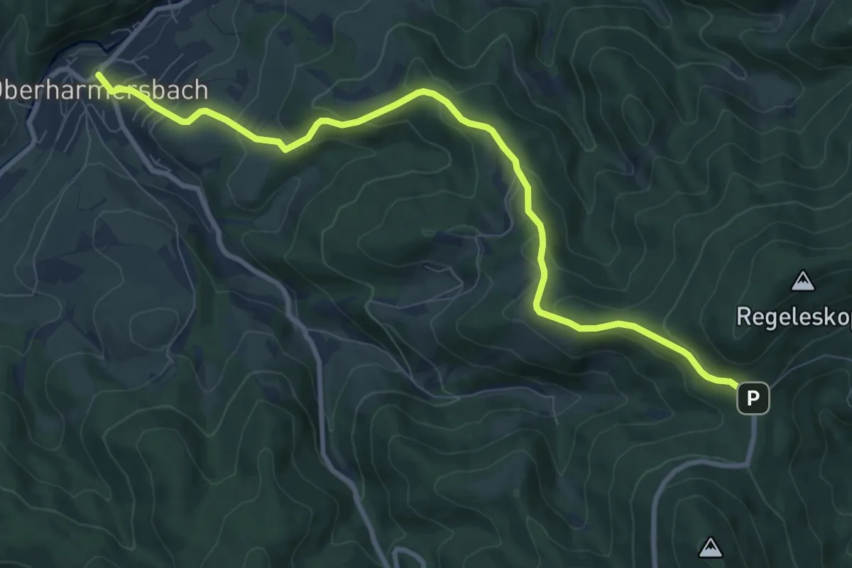
Medium · Trail
Oberharmersbach - Kreuzsattel
9.5 km · ↑ 485 m · 3 h 17 min